


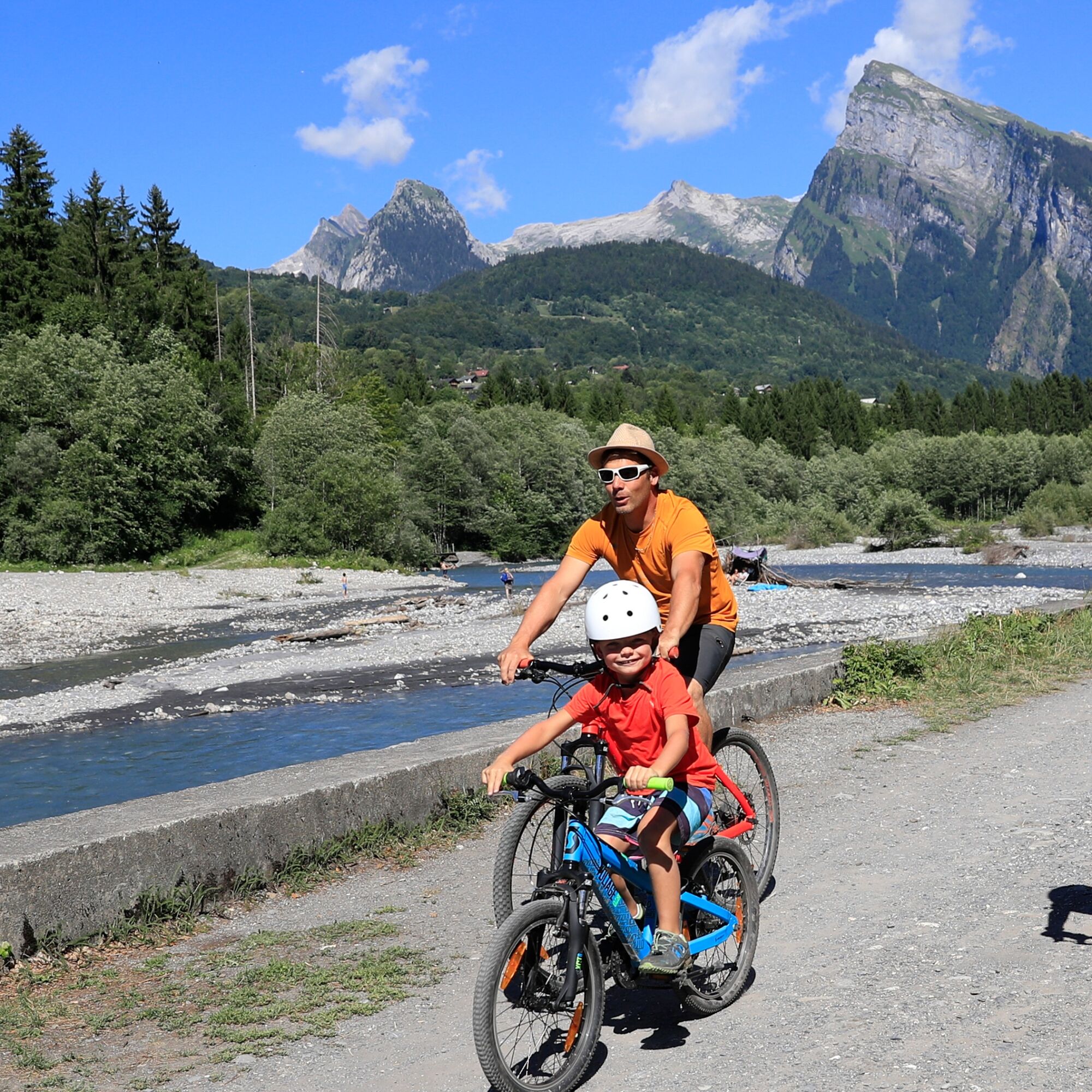
The Cirque along the riverside
A stop is planned at the Ferme des Tines to discover some cheese and charcuterie specialities, which you will then
taste against the splendid panorama of the Cirque du Fer-à-Cheval and at the Bergerie du...
taste against the splendid panorama of the Cirque du Fer-à-Cheval and at the Bergerie du Lochet for a tasting at the
end of the day. Ages 9 and up (height: 1.30 m).
(1) Departure from "Skiset - Narcisse sports", turn right onto route de la cascade du Rouget as far as the town hall.
Then turn left into rue du lavoir (blue VTTAE markings "Gorges des Tines") / OR start from "Sport 2000 Lionel Sports"
(2). Cross Place de la gare, passing the municipal technical center and heading for the elementary school.
At the "Ecole" sign, turn right onto the "Chemin de fer" road behind the primary school and follow the left bank of the
Giffre river up to the Glière bridge. Cross the bridge and follow the footpath signs to the "passerelle des Tines". At
the sign for "sous le raffour", follow the direction of "Le raffour" until you reach the D907. Cross the road and turn left
onto the D907 for a few metres as far as the Les Tines car park. Be careful on this busy road.
At the the "Les Tines" car park, follow the sign for "Samoëns" and go down the rocky path (which is quite steep). At
the junction of the 2 paths, take the one on the right (not marked) and go past the former disco club "La flûte" and
the "Ferme des Tines" farm.
Stop at the "Ferme des Tines" (2) shop to choose some farm products to suit your mood of the day.
Return along the same path to the "Les Tines" car park. Take time to observe the "Gorges des Tines" (3) from the
"Passerelle des Tines". Then take the D907 back to the village. Turn right over the bridge towards the Rouget waterfall
and then immediately left. From the "Sixt - Mairie" sign, follow the signs to the "Cirque du Fer-à-Cheval".
When you arrive at the Cirque du Fer-à-Ch, you can admire the view of the peaks and waterfalls from the
viewpoint indicator. There is a bike park to the left of the Fer-à-Cheval restaurant. A few picnic tables are available
above the "Chalet de Laura" to taste your freshly bought products.
Take the D907 road back down to the village. You can then follow the course of the Giffre on the opposite bank and
admire some of Sixt's hamlets. Stop off at the Bergerie du Lochet (5) to pick up some farm products made from
sheep. Return to "Skiset - Narcisse sports" (1) or "Sport 2000 Lionel Sports"(2).
Tak
Popularne wycieczki w okolicy
- 5,0
Circular hike Roc Coupé – Bonavau – Champéry
średniWędrówka 12,1 km - 3,5
Lac d'Emosson - Gorge de la Veudale - Col de la Terrasse - Lac du Vieux Emosson zurück nach Lac d'Emosson
średniWędrówka 14,3 km - 4,0
Chamonix-Mont-Blanc, Auvergne-Rhône-Alpes/France // B/C
średniVia ferrata 2,59 km - 4,5
Galerie Défago
światłoWędrówka 8,81 km - 5,0
Champéry - Sous Scex
Wędrówka 2,41 km Champéry - Seen von Antème
Wędrówka 14,8 km- 4,0
Circular hike to the Lacs d’Antème
ciężkiWędrówka 16,3 km - 5,0
Goldtoni - Alpenbogen A060 Refuge Anterne-Chamonix
średnidługodystansowy szlak pieszy 19,6 km Hike to Lac Vert (Chésery)
ciężkiWędrówka 17,3 kmMont-Blanc Balcony Trail
średniWędrówka 8,36 km
Wędrówki i tropienie


Nie przegap ofert i inspiracji na następne wakacje
Twój adres e-mail została dodana do listy mailingowej.