Tarare - Col des Sauvages - Chapelle Saint-Roch - Église Saint-Georges
średni
Nawigacja
Nawigacja
Pobierz tę trasę na swój telefon komórkowy
Tarare - Col des Sauvages - Chapelle Saint-Roch - Église Saint-Georges
średni
Rower szutrowy
43,22
km
Zeskanuj kod QR i rozpocznij nawigację w aplikacji bergfex.

Wędrówki i tropienie


Tarare - Col des Sauvages - Chapelle Saint-Roch - Église Saint-Georges
średni
Odległość
43,22
km
Czas trwania
02:53
h
Ascent
740
hm
Poziom morza
379 -
865
m
Ścieżka do pobrania
Tarare - Col des Sauvages - Chapelle Saint-Roch - Église Saint-Georges
średni
Rower szutrowy
43,22
km
Trasa
Tarare
(383 m)
Miasto
1,2 km
Col des Sauvages
(723 m)
Siodełko górskie
13,4 km
Le Perret
(727 m)
Rozliczenie
14,0 km
Aux Forests
(766 m)
Rozliczenie
27,4 km
Église Saint-Georges
(831 m)
Miejsce kultu
30,7 km
Chaland
(682 m)
Rozliczenie
35,0 km
Tarare
(383 m)
Miasto
42,5 km
Trasa
Tarare - Col des Sauvages - Chapelle Saint-Roch - Église Saint-Georges
średni
Rower szutrowy
43,22
km
Tarare
(399 m)
Stacja kolejowa
0,0 km
Tarare
(383 m)
Miasto
1,2 km
Le Cantubas
(426 m)
Rozliczenie
3,0 km
Passerat
(536 m)
Rozliczenie
4,0 km
La Renardière
(715 m)
Rozliczenie
10,0 km
La Renardière
(691 m)
Korytarz/teren
10,8 km
Les Terres
(750 m)
Sąsiedztwo
12,4 km
Le Charpenay
(711 m)
Rozliczenie
12,5 km
Goute-Coine
(711 m)
Sąsiedztwo
13,2 km
Col des Sauvages
(723 m)
Siodełko górskie
13,4 km
Hôtel saint pierre
(723 m)
Restauracja
13,5 km
Les Sauvages
(733 m)
Wioska
13,7 km
Le Perret
(727 m)
Rozliczenie
14,0 km
La Chapelle
(764 m)
Rozliczenie
17,4 km
Le Perroquet
(748 m)
Rozliczenie
18,7 km
La Mâconnière
(759 m)
Rozliczenie
19,7 km
Les Voisinées
(714 m)
Rozliczenie
22,4 km
La Giroudière (Le Haut)
(776 m)
Rozliczenie
25,4 km
Aux Forests
(766 m)
Rozliczenie
27,4 km
Chez Ligot
(788 m)
Rozliczenie
29,0 km
Chez Michaud
(807 m)
Rozliczenie
29,5 km
Chez Ferrand
(809 m)
Rozliczenie
29,9 km
La Croix
(791 m)
Sąsiedztwo
30,2 km
Lotissement René Linder
(838 m)
Sąsiedztwo
30,4 km
Chez Perret
(799 m)
Sąsiedztwo
30,5 km
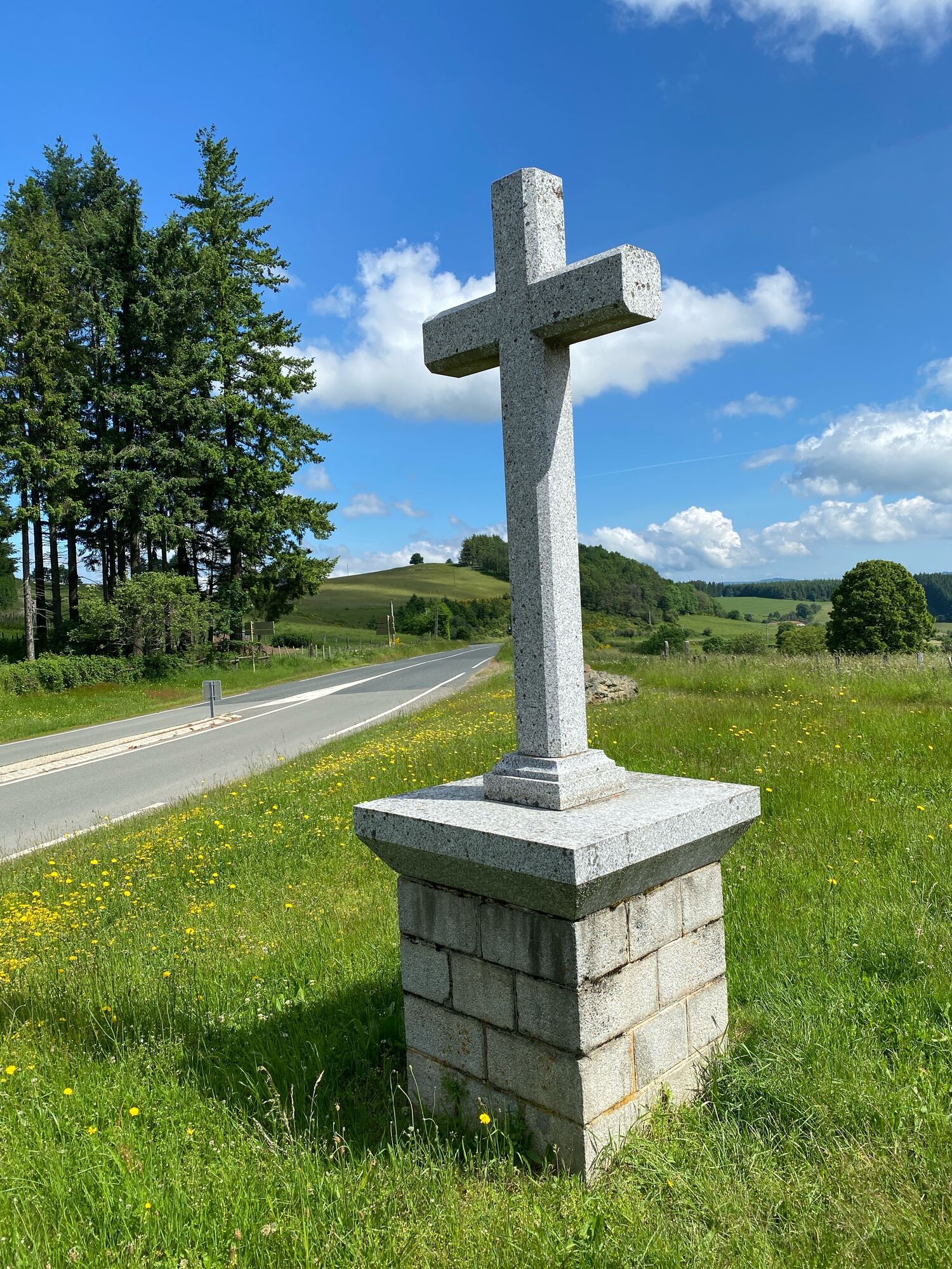
Chapelle Saint-Roch
(842 m)
Miejsce kultu
30,6 km
Violay
(826 m)
Wioska
30,7 km
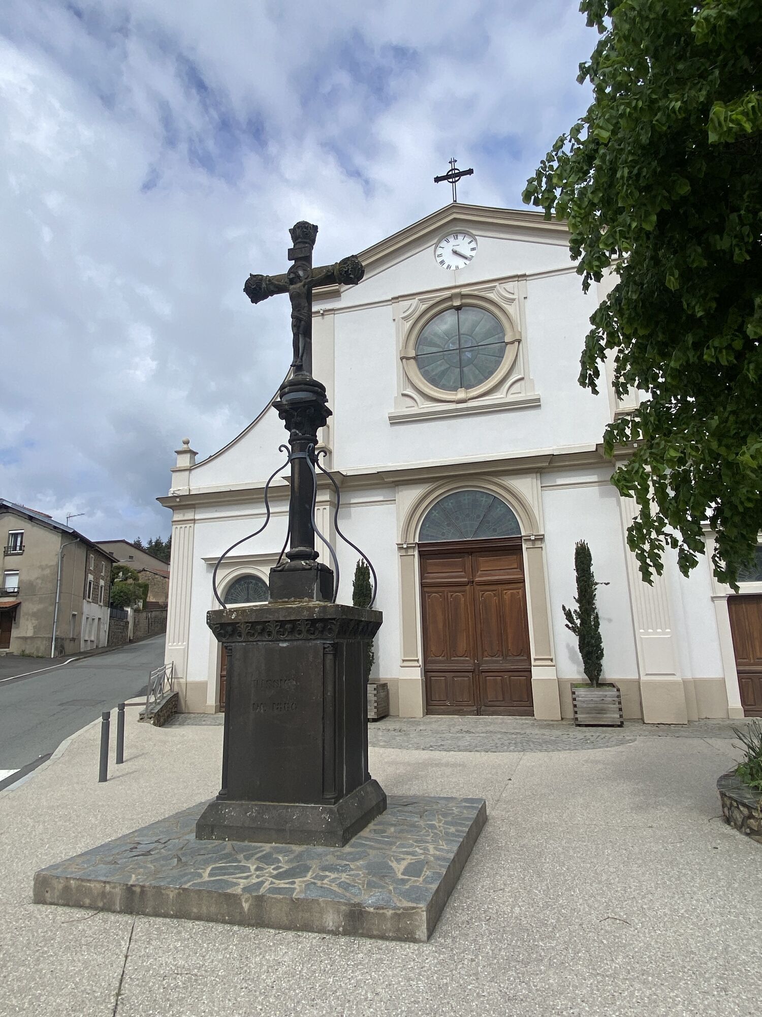
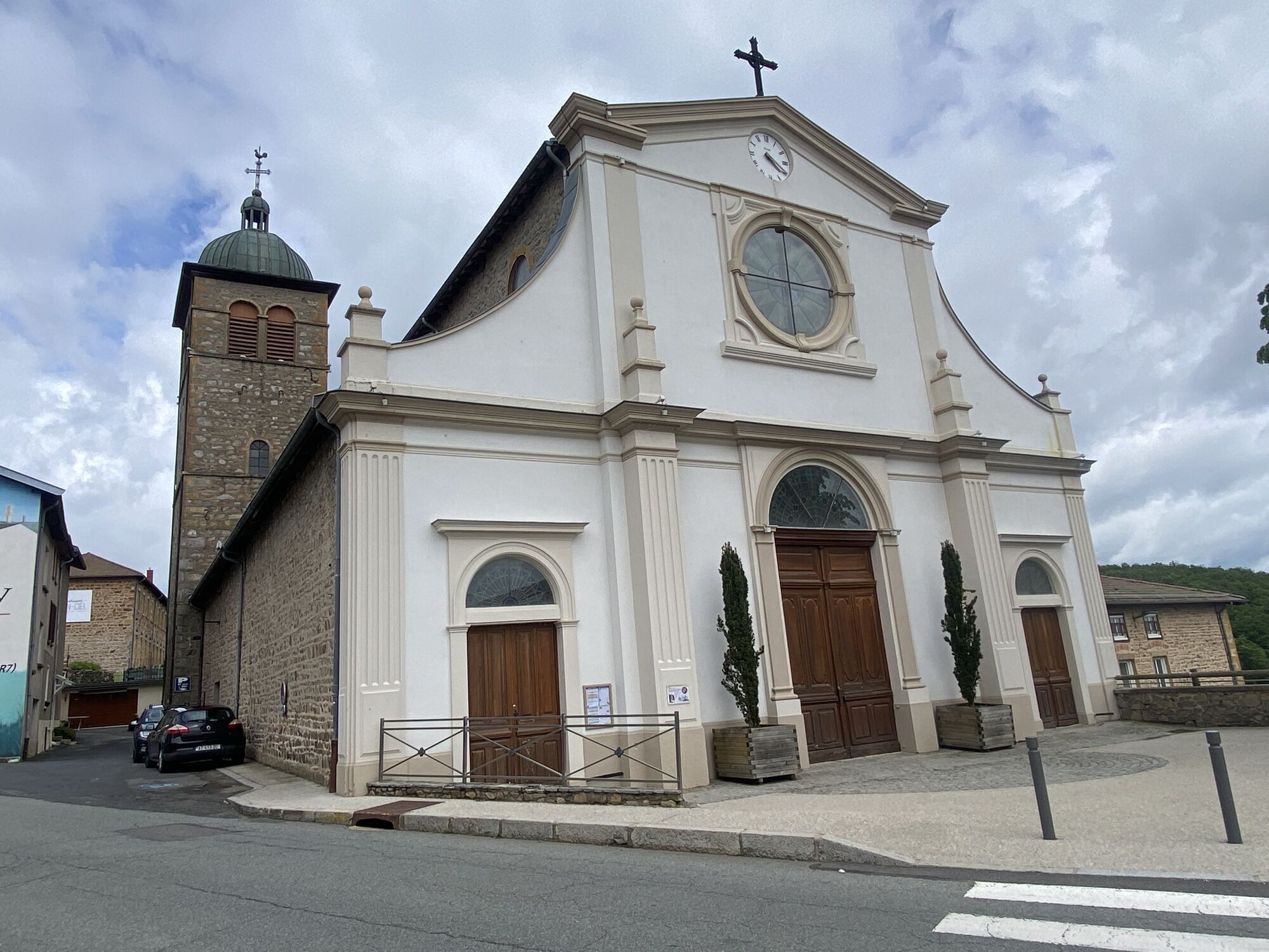
Église Saint-Georges
(831 m)
Miejsce kultu
30,7 km
Chez Piard
(821 m)
Rozliczenie
31,8 km
Montchervet
(702 m)
Rozliczenie
33,2 km
Chaland
(682 m)
Rozliczenie
35,0 km
Pire
(597 m)
Rozliczenie
35,9 km
La Pertière
(620 m)
Rozliczenie
36,3 km
Le Valletier
(532 m)
Rozliczenie
36,8 km
Le Chadier
(507 m)
Rozliczenie
37,7 km
L'Enversin
(436 m)
Korytarz/teren
39,0 km
Le Pied de la Montagne
(429 m)
Sąsiedztwo
39,6 km
Restaurant Jean Brouilly
(405 m)
Restauracja
41,0 km
Tarare
(383 m)
Miasto
42,5 km
Tarare
(399 m)
Stacja kolejowa
43,2 km
Nie ma jeszcze recenzji
Popularne wycieczki w okolicy
-
The forest of Flachère - Beaujolais - Légny
światłoWędrówka 6,68 km -
Circuit de découverte du patrimoine
światłoWędrówka 2,19 km -
Des dégringoules* au vert - Beaujolais - Amplepuis
światłoWędrówka 5,13 km -
Mała wycieczka po crêt d'Arjoux - Monts du Lyonnais - Saint-Julien-sur-Bibost
światłoWędrówka 4,93 km -
The forest of Brou - Beaujolais - Dième
światłoNordic Walking 10,5 km -
Ma première nuit étoilée - Beaujolais - Tarare
ciężkiWędrówka 36,5 km -
Circuit VTT n°113 rouge : En lisière des communes
ciężkiMountainbike 16,8 km -
Around the Lac des Sapins - Beaujolais Vert - Cublize
światłoWędrówka 4,76 km -
The chapel of La Salette - Beaujolais Vert - Joux
ciężkiWędrówka 19,9 km -
Trail around Lac des Sapins - Beaujolais Vert - Cublize
ciężkiTrailrunning 15,0 km
Wędrówki i tropienie

Ponad 550.000 propozycji wycieczek, szczegółowe mapy i intuicyjny planer tras sprawiają, że aplikacja jest niezbędna dla wszystkich entuzjastów przyrody.

Nie przegap ofert i inspiracji na następne wakacje
Zapisz się do newslettera
Błąd
Wystąpił błąd. Spróbuj ponownie.
Dziękujemy za rejestrację
Twój adres e-mail została dodana do listy mailingowej.
Wycieczki po całej Europie
Austria
Szwajcaria
Niemcy
Włochy
Słowenię
Francja
Holandia
Belgia
Polska
Liechtenstein
Czechy
Słowacja
Hiszpania
Chorwacja
Bośnia i Hercegowina
Luksemburg
Andorra
Portugalia
Islandia
Wielka Brytania
Irlandia
Grecja
Albania
Macedonia Północna
Malta
Norwegia
Czarnogóra
Mołdawia
Kosowo
Węgry
San Marino
Rumunia
Estonia
Łotwa
Białoruś
Cypr
Litwa
Serbia
Bułgaria
Monako
Dania
Szwecja
Finlandia