


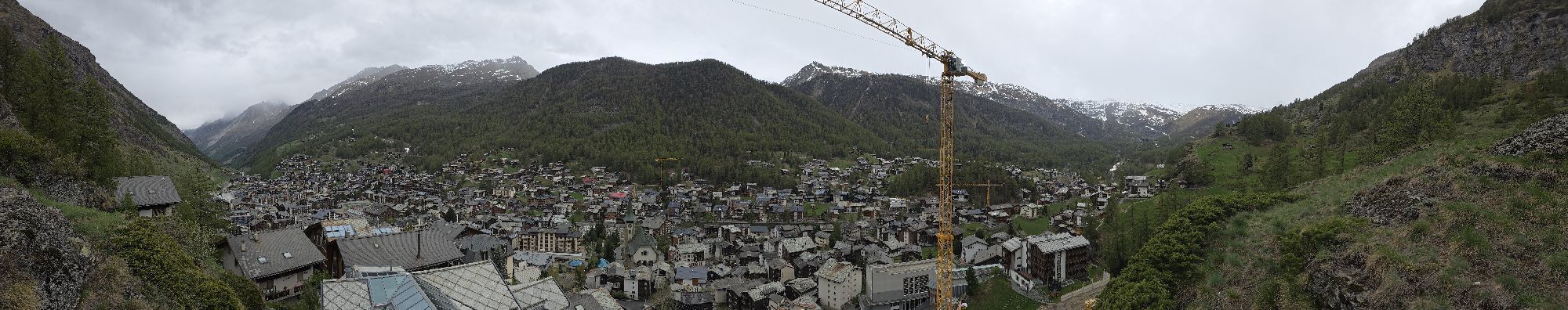
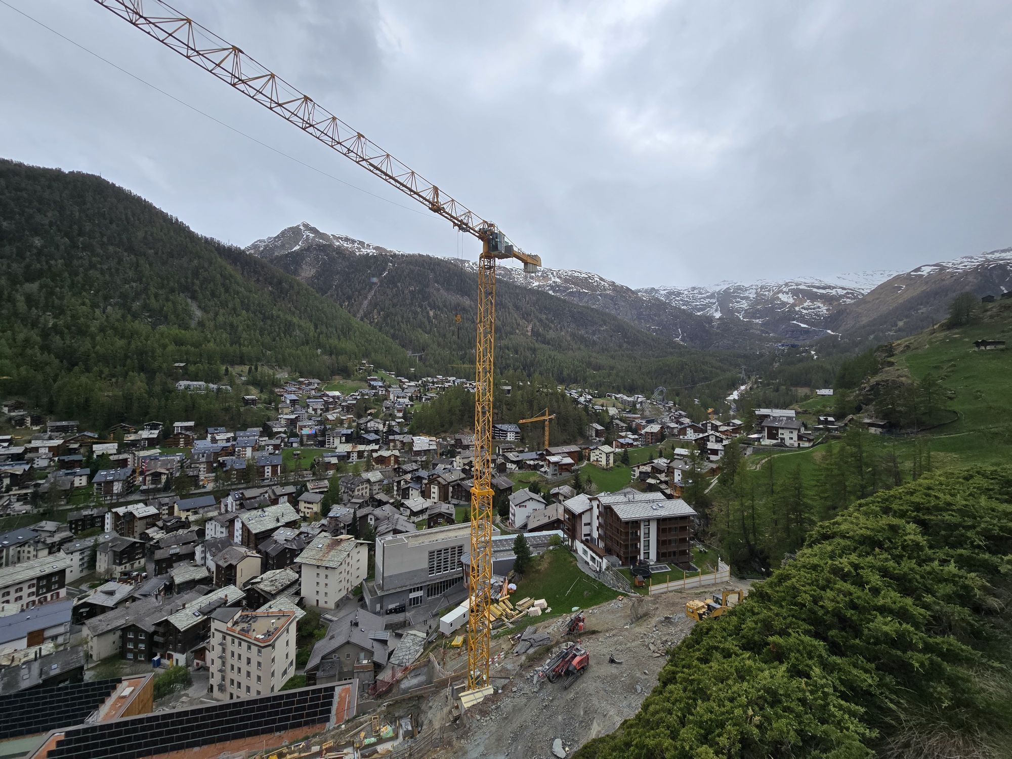
Platthorn / Mettelhorn (Nr. 33)
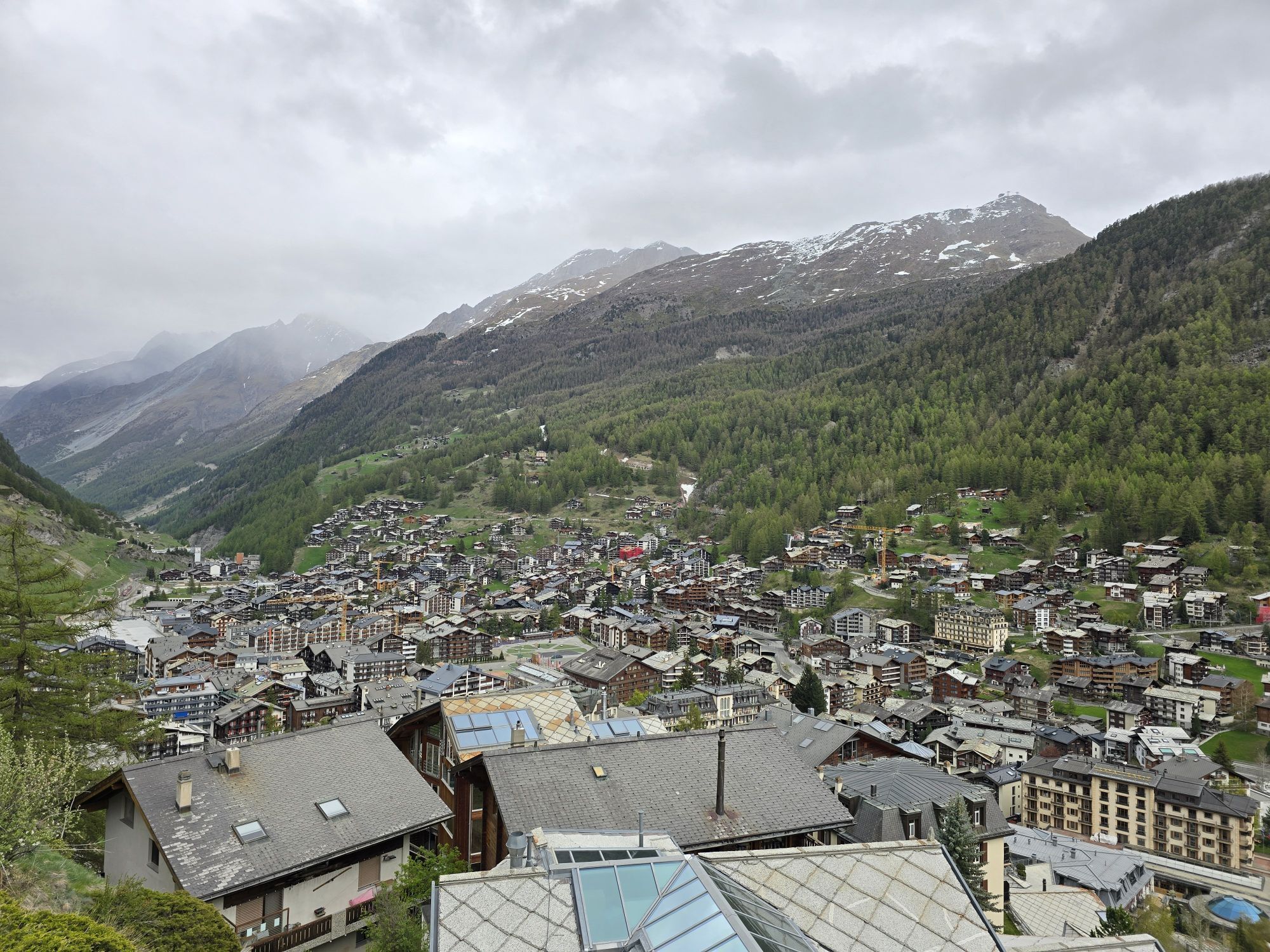
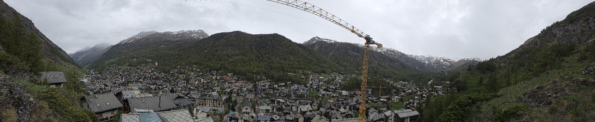
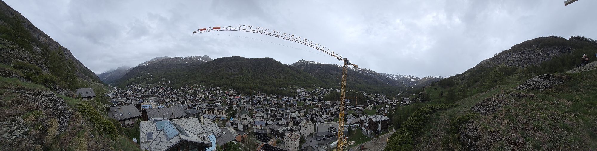
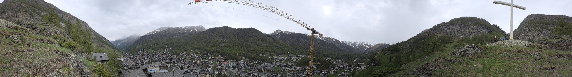
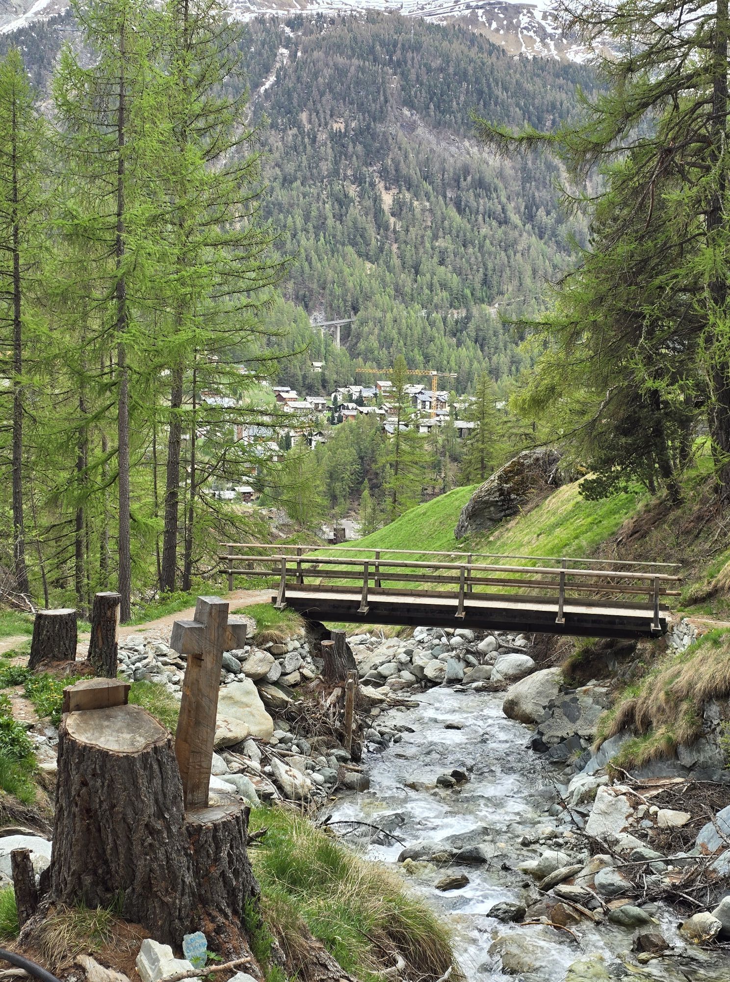
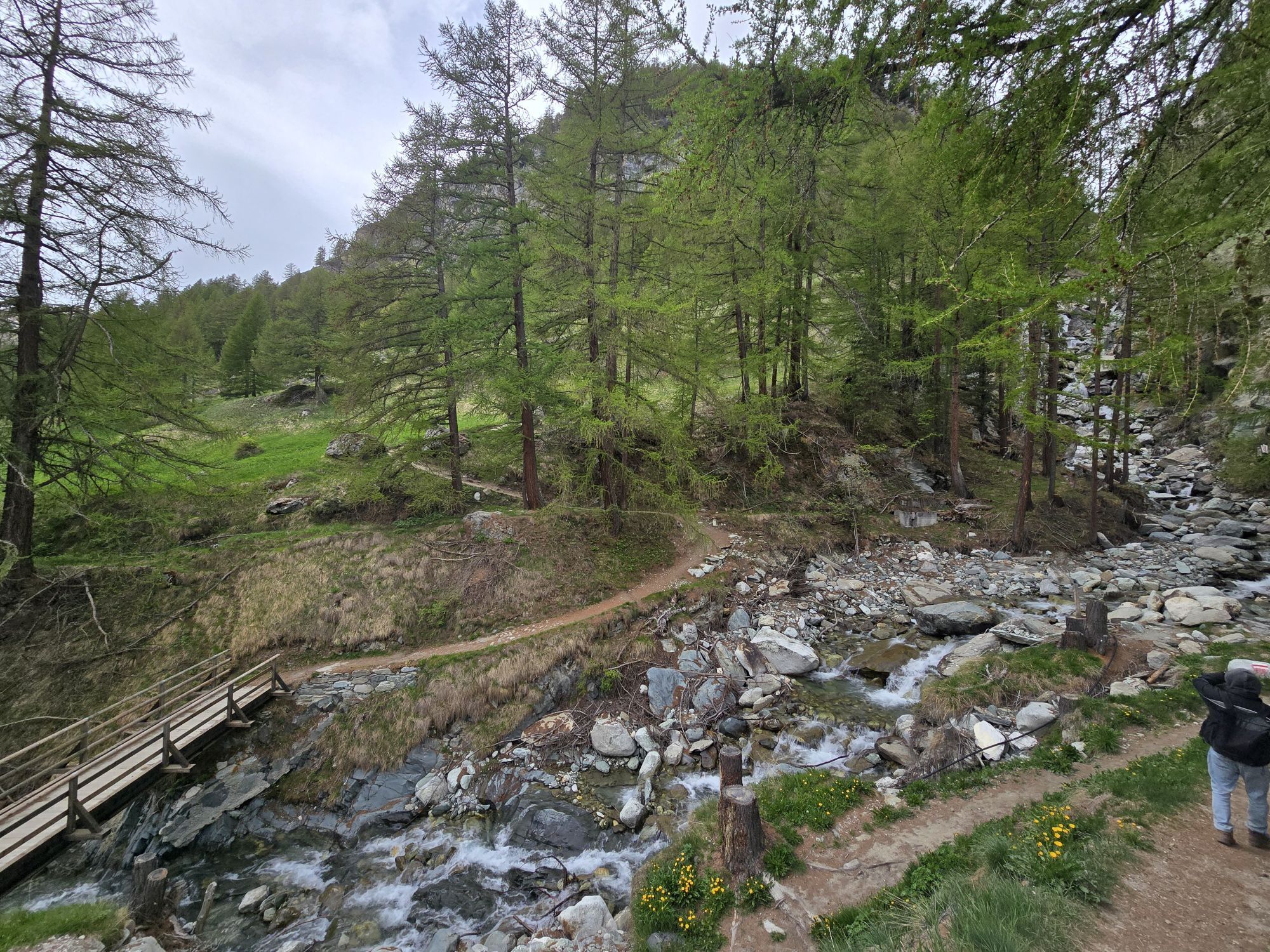
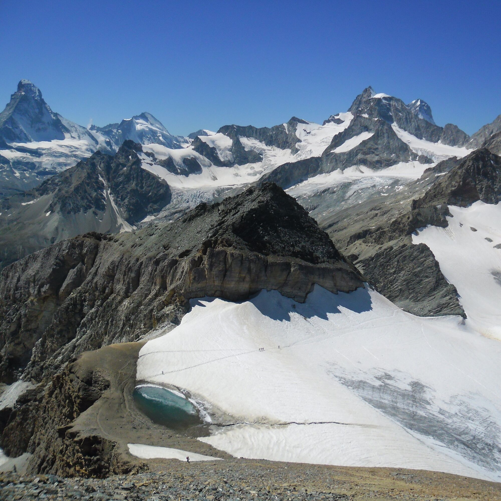
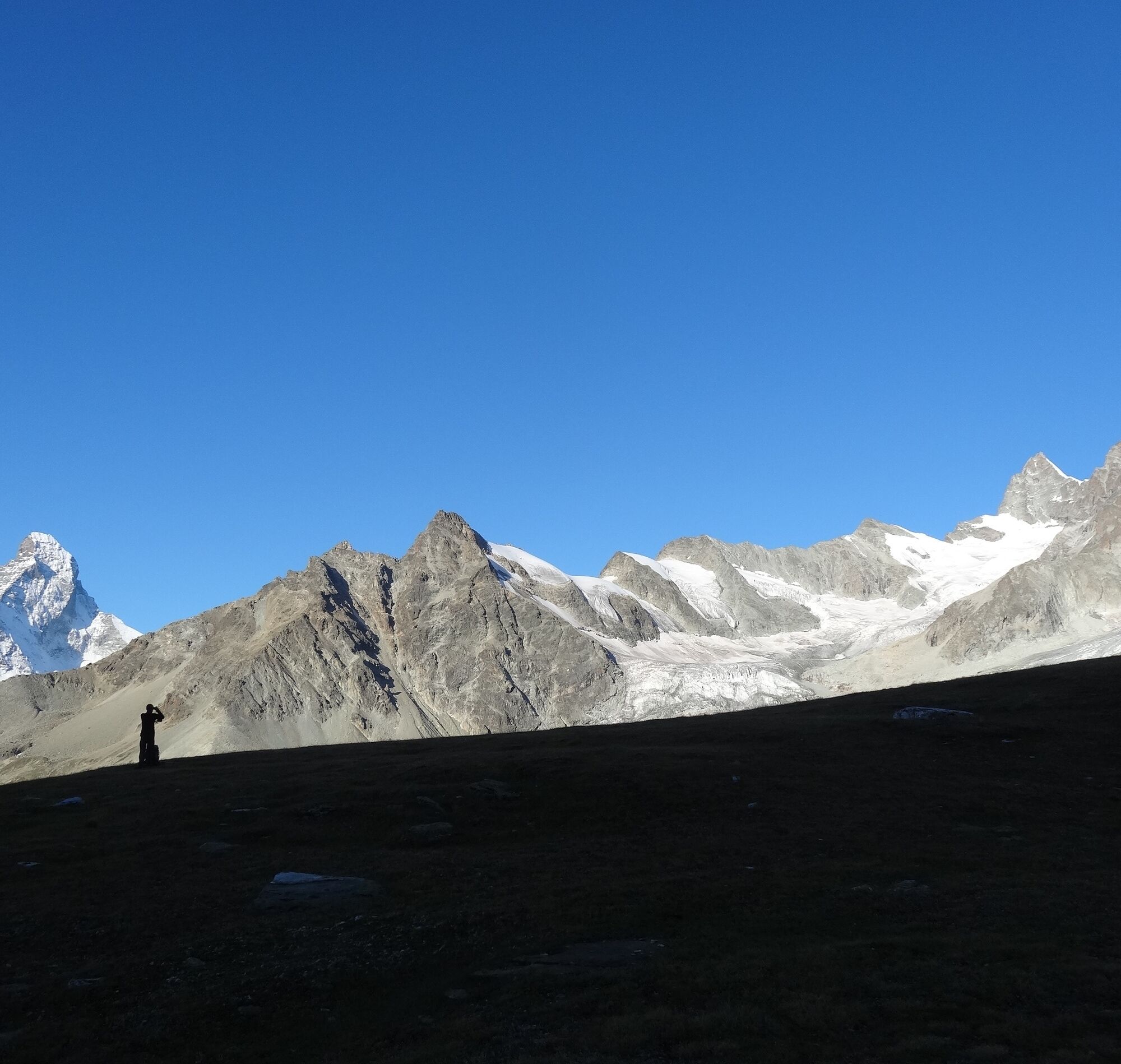
This demanding trail into tranquil nature rewards hikers with breathtaking views of the village and the many 4,000-metre peaks around. The glacier on the Platthorn and Mettelhorn has retreated considerably....
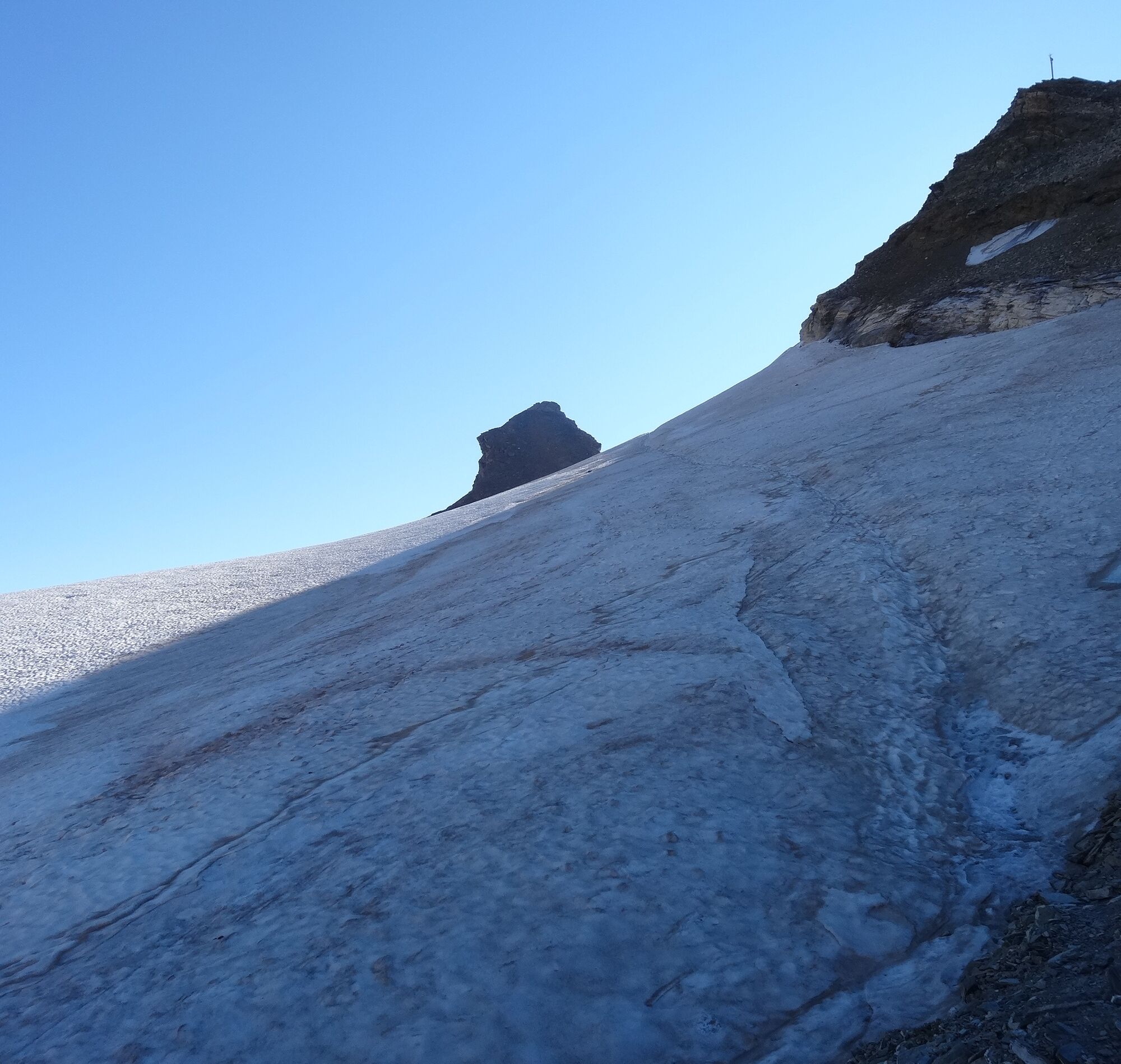
This demanding trail into tranquil nature rewards hikers with breathtaking views of the village and the many 4,000-metre peaks around. The glacier on the Platthorn and Mettelhorn has retreated considerably. Here, caution is required: When climbing the Mettelhorn, the hiking trail crosses part of the glacier. Proper equipment (crampons or spikes - depending on the condition of the glacier) is essential.
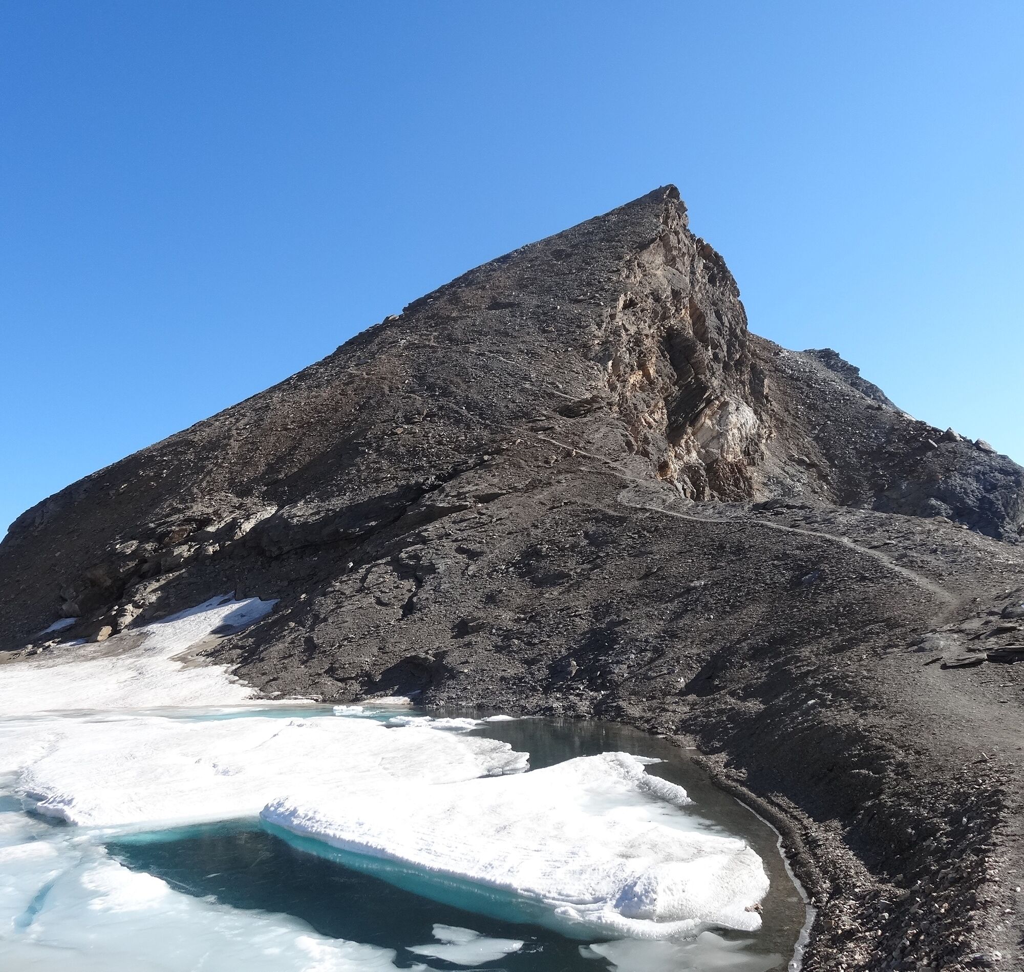
Towering over the upper part of the Triftchumme, below the Furgghorn (3,392 m), are the Böse Tschuggen, which means “evil cliffs” in the local dialect. Geographical features acquire their names for good reason.
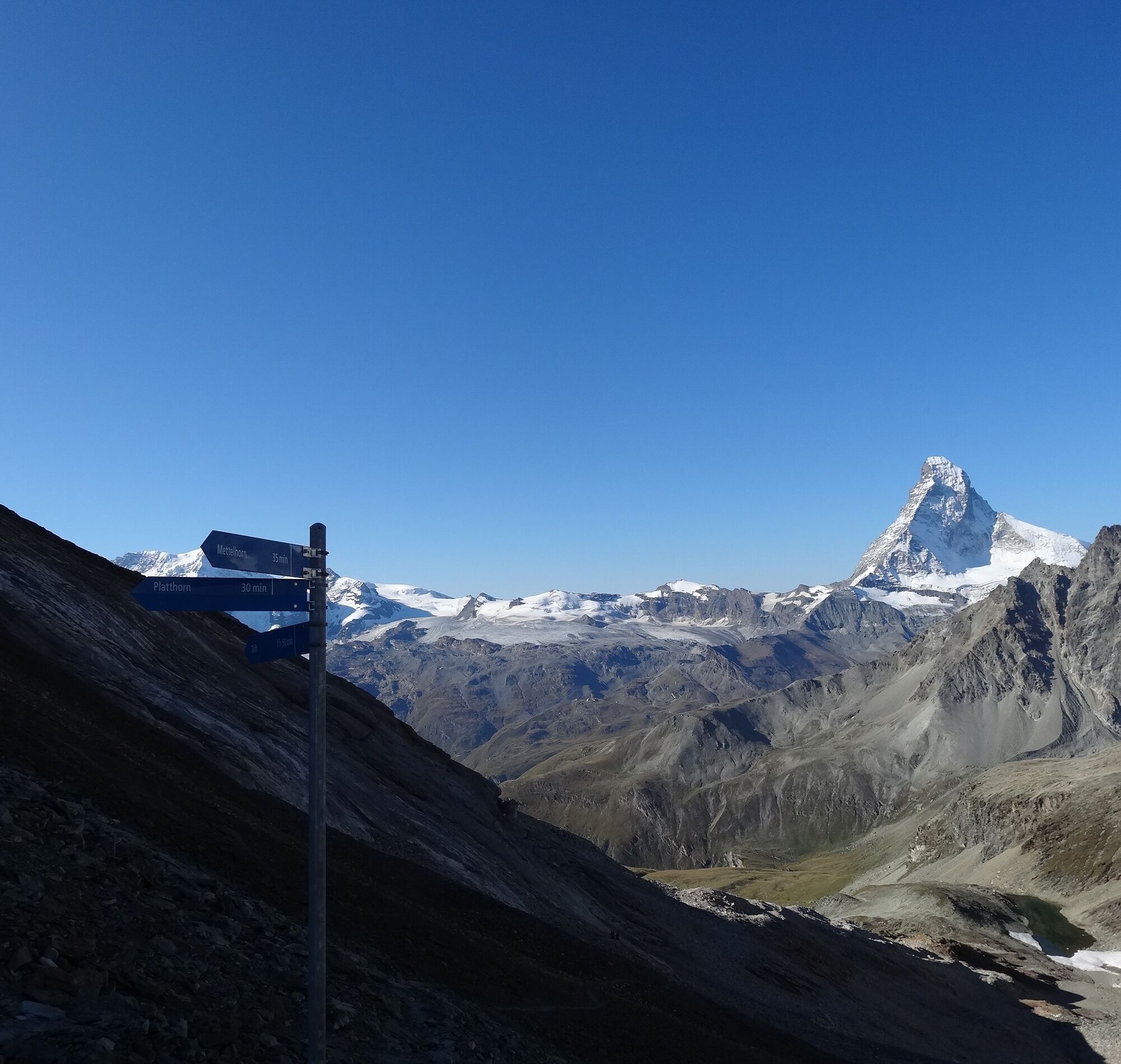
Zermatt (station) - Alterhaupt (Edelweiss) - Trift - Furgji - Platthorn - Mettelhorn
(Hiking time for the walk back: approx. 3h 10)
Tak
Tak
We recommend:
Good footwear Hiking poles (optional) Depending on the conditions crampons Clothing suitable for the weather (always carry a waterproof)Important! A good head for heights, a sure foot and mountain experience are needed
Note: Pay careful attention to weather and tour length. Take special care on wet paths and wet terrain.
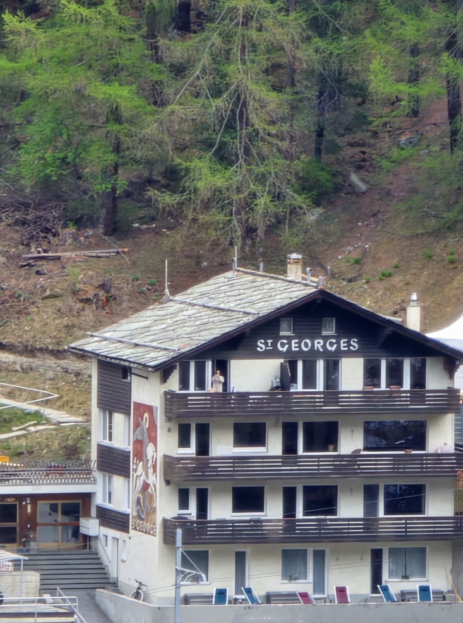
Onward travel to Zermatt is either by private taxi or shuttle train. Trains depart every 20 minutes; the journey takes about 12 minutes, and ends at the Bahnhofplatz in Zermatt.
Zermatt is also the start and finish point for the world-famous Glacier Express panoramic train journey (Zermatt to St. Moritz or Davos).
Onward travel: see “Getting there”.
Please contact the Trift Berggasthaus for the most up-to-date information on trail conditions.
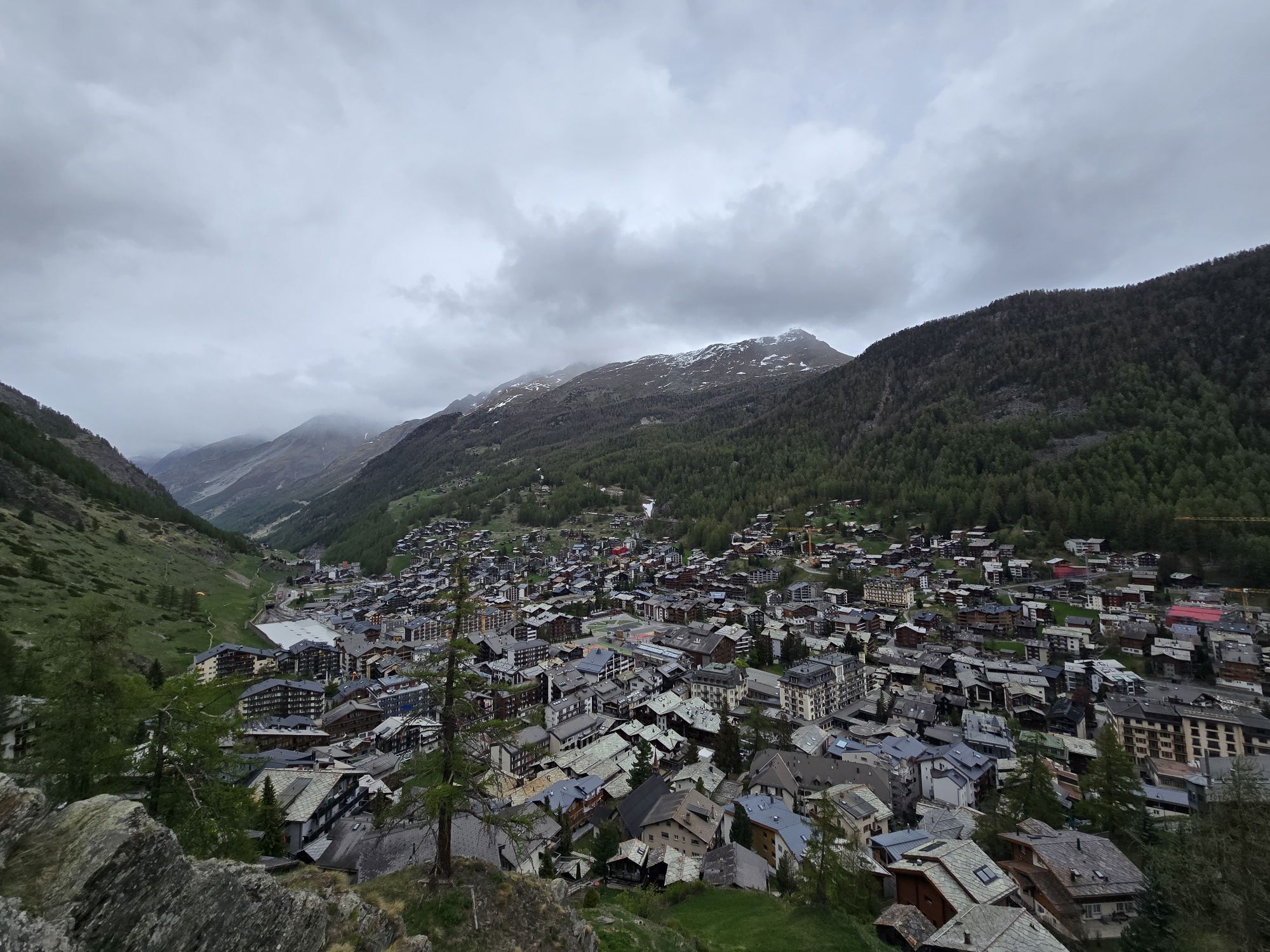
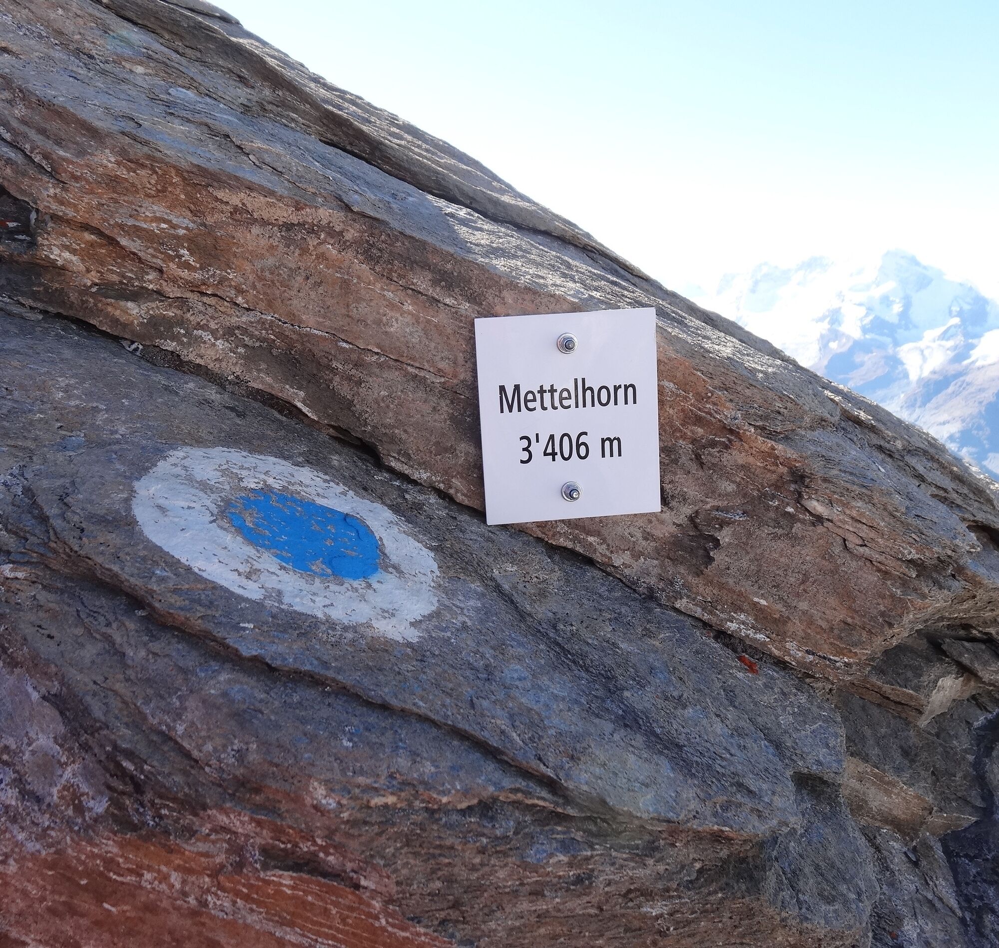
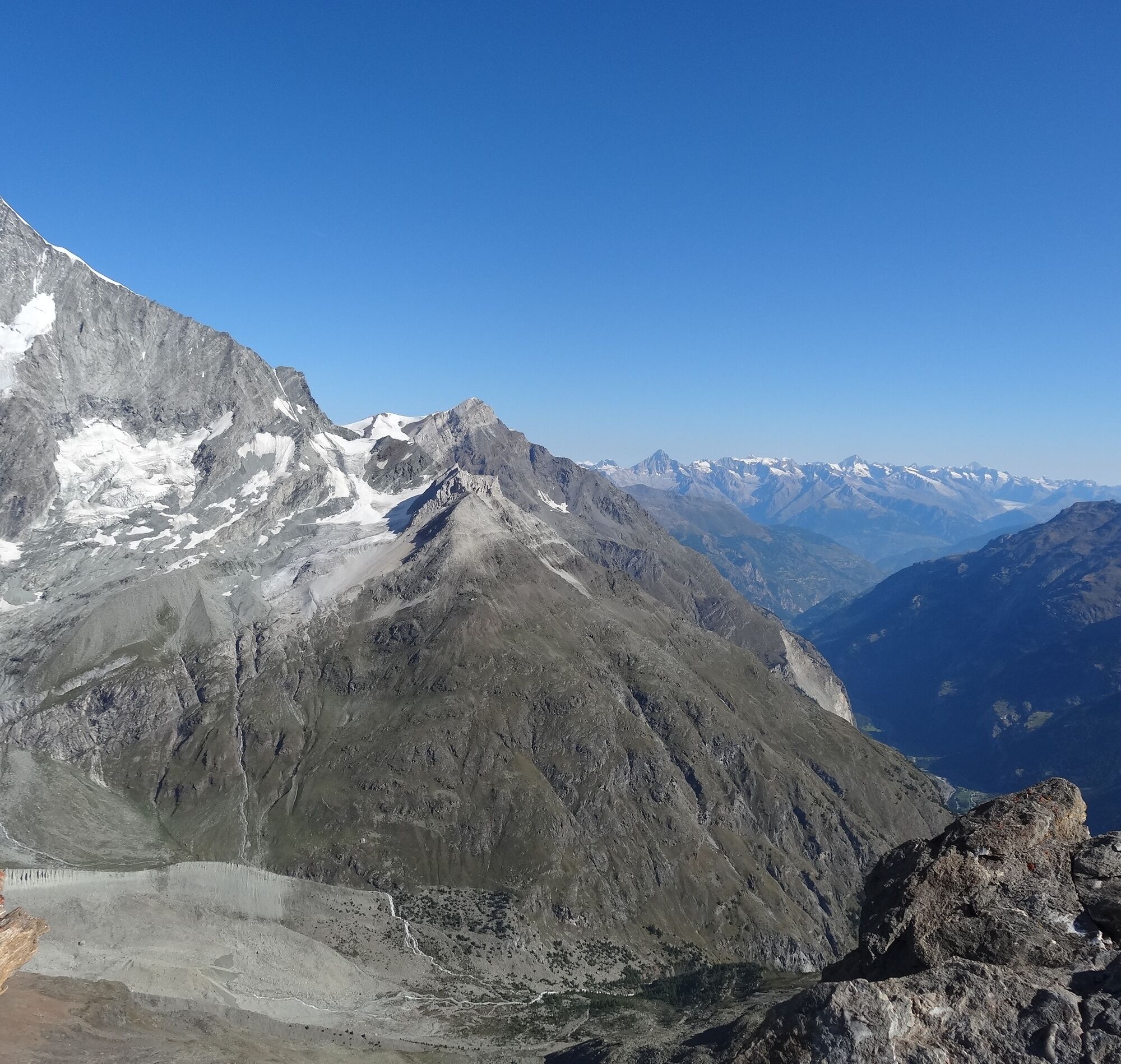
It is worthwhile taking a couple of souvenir photographs, because the view from the Mettelhorn is beautiful: Under one is the village of Zermatt and under the other is the Mattertal. Almost within reach are also the two four thousand-metre Zinalrothorn (4,221 m) and the Weisshorn (4,506 m).
Popularne wycieczki w okolicy
-
4,9
Allalinhorn vom Mittelallalin über Normalweg
średniWycieczka wysokogórska 6,15 km -
4,8
Zermatt Hörnlihütte
średniWędrówka 4,12 km -
3,3
Europaweg Grächen - Europahütte - Zermatt
ciężkiWędrówka 39,9 km -
4,9
Klein Matterhorn - P3824 - Breithorn Occidentale / Westgipfel
średniWycieczka wysokogórska 5,53 km -
5,0
Trockerner Steg nach Matterhorn (Hornlihütte)
światłoWycieczka wysokogórska 12,2 km -
Riffelalp - Gornergrat
średniWędrówka 6,22 km -
Zermatt - Hörnlihütte
ciężkiWędrówka 10,6 km -
4,0
Hörnlihütte - Gelbes Band - Matterhorn - P3746
ciężkiWspinaczka 5,70 km -
Rundwanderung Riffelalp - Grünsee - Grindjisee - Mosjesee - Chez Vrony - Zermatt
światłoWędrówka 14,8 km -
3,7
Rotenboden - Monte Rosa Hütte
ciężkiWędrówka 8,04 km
Wędrówki i tropienie


Nie przegap ofert i inspiracji na następne wakacje
Twój adres e-mail została dodana do listy mailingowej.