







Längfluh - Saas-Fee

Poziom trudności: T2
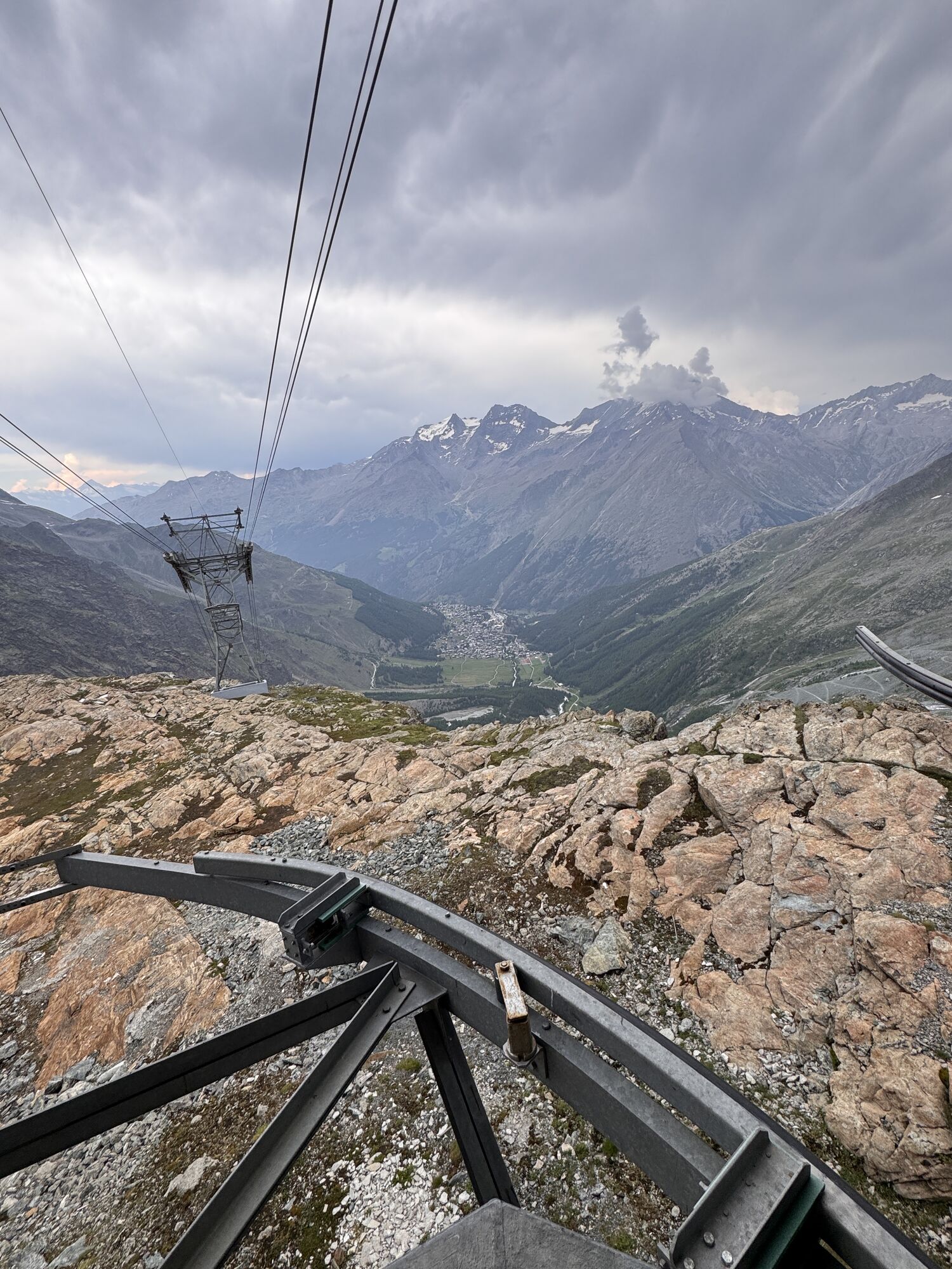
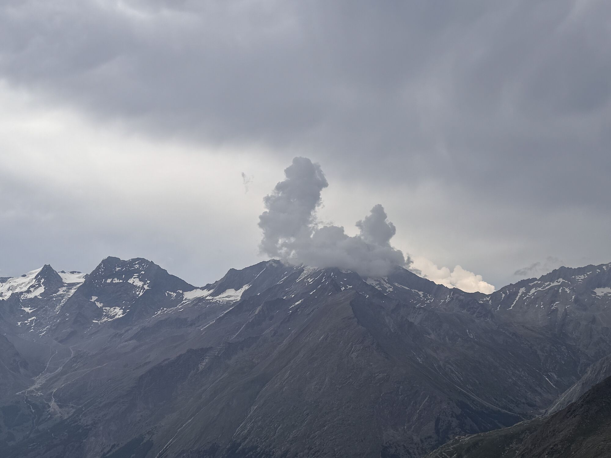
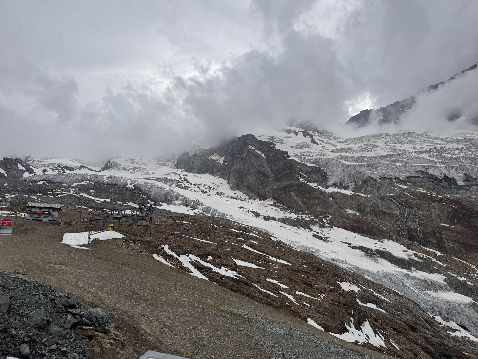
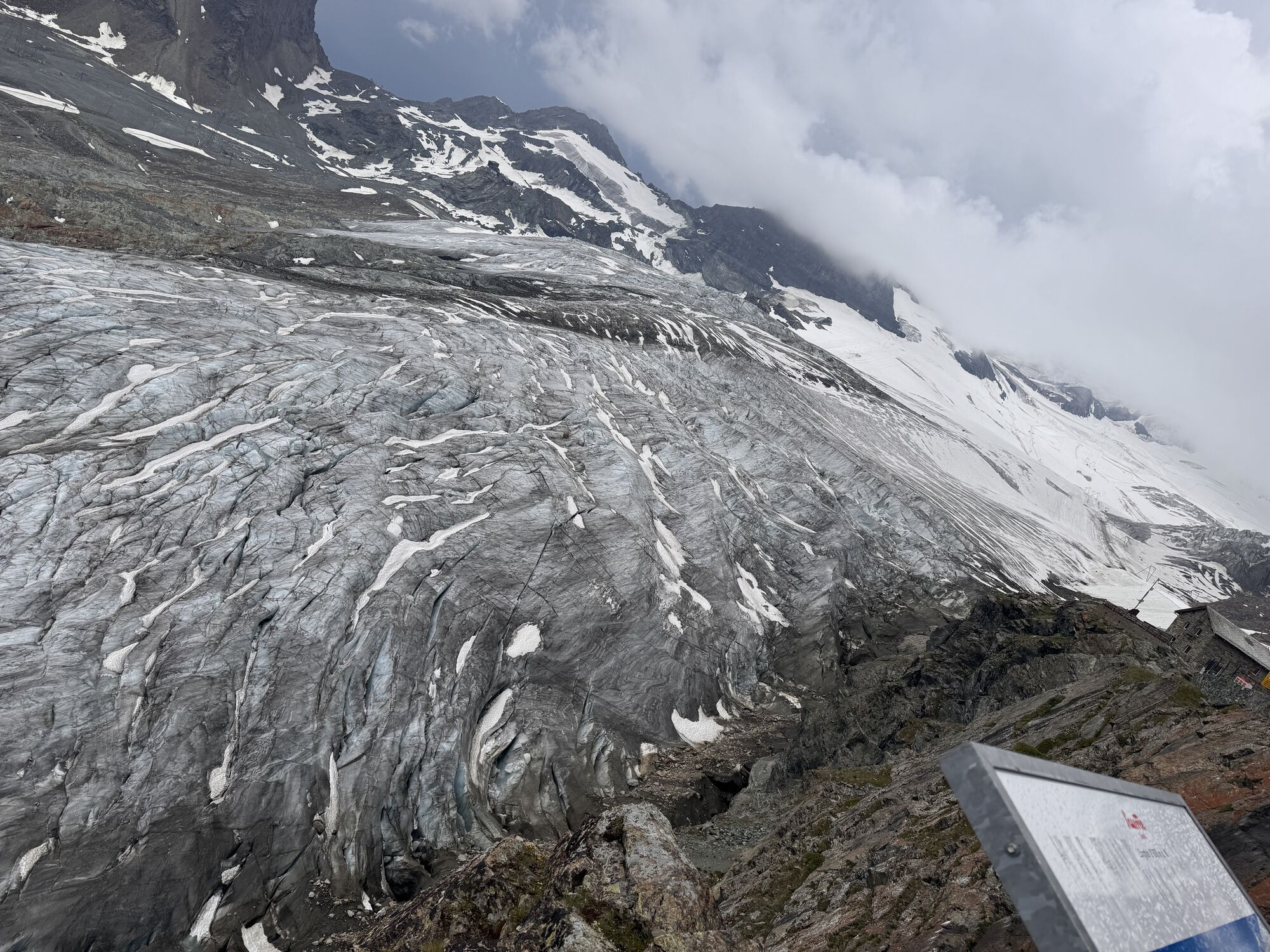
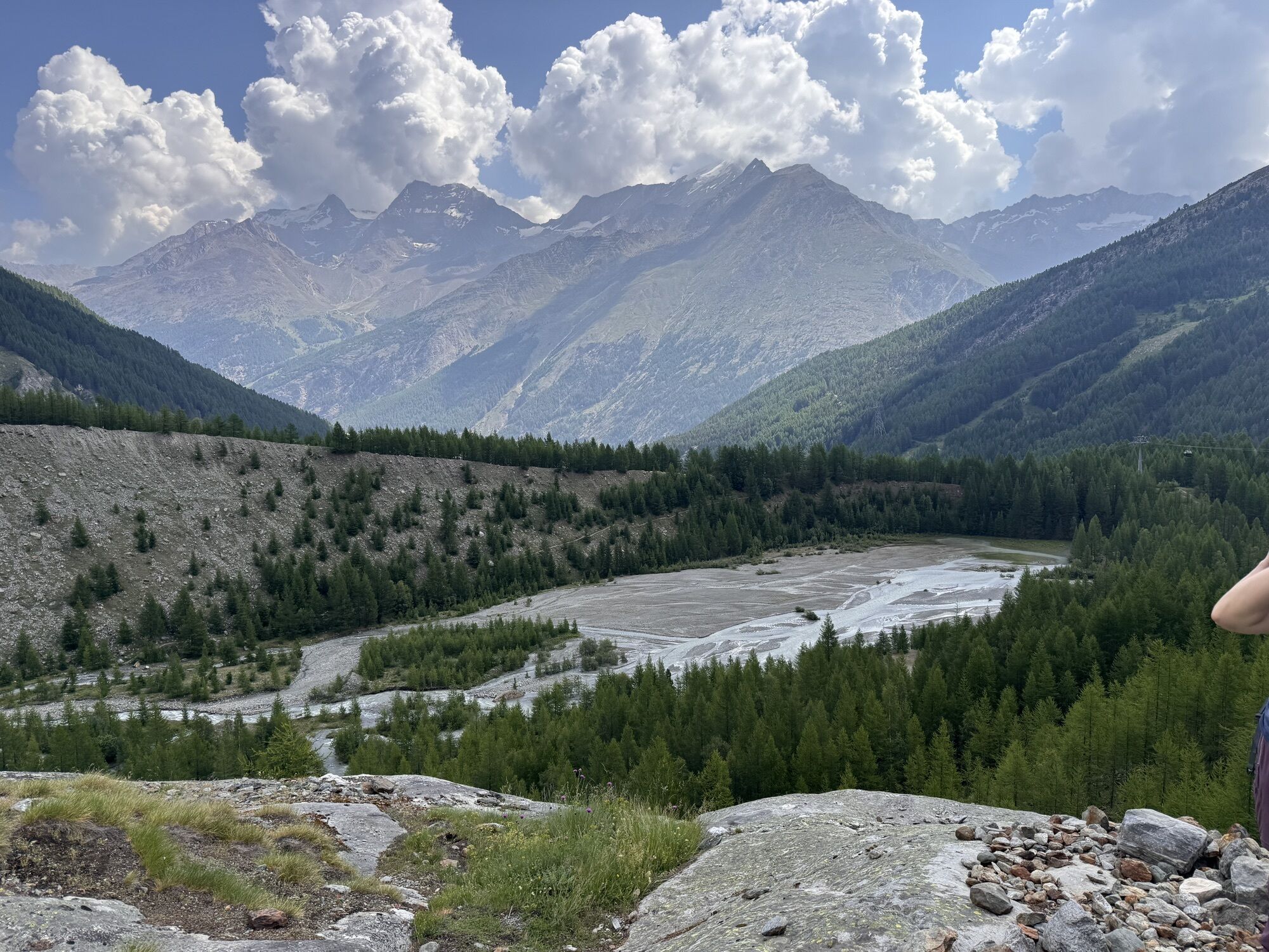
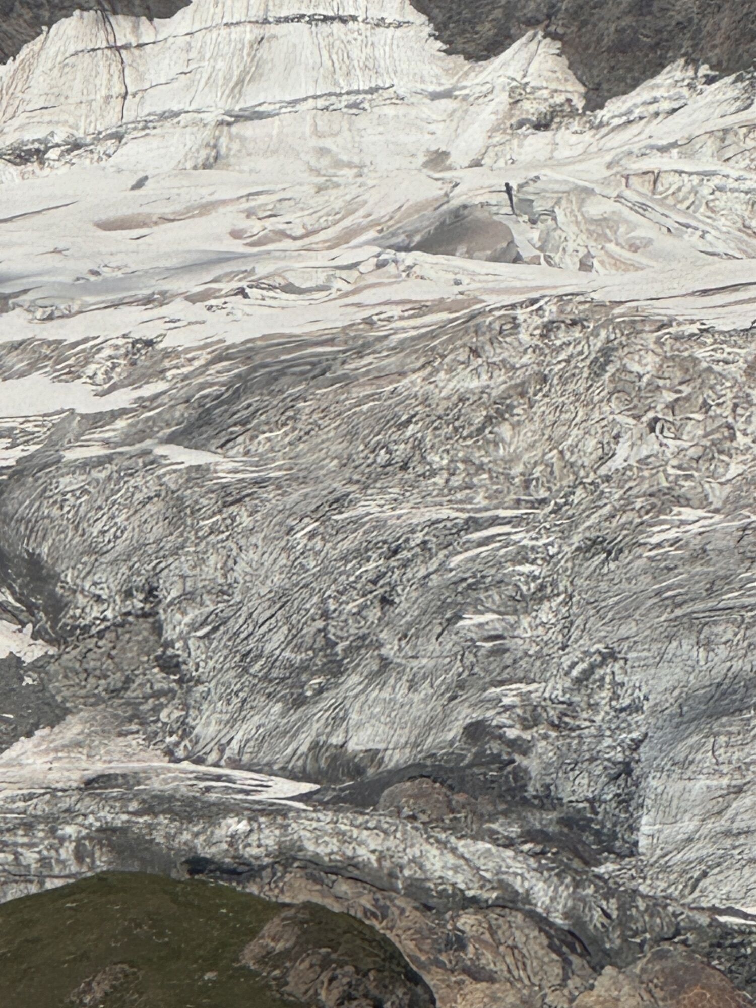
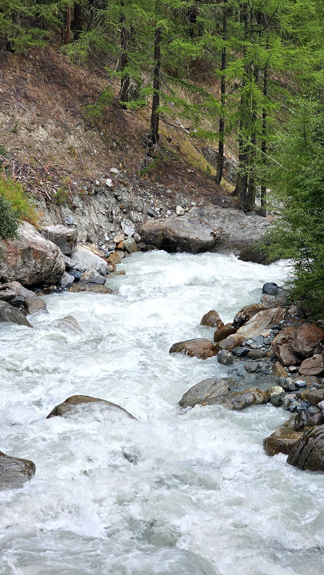
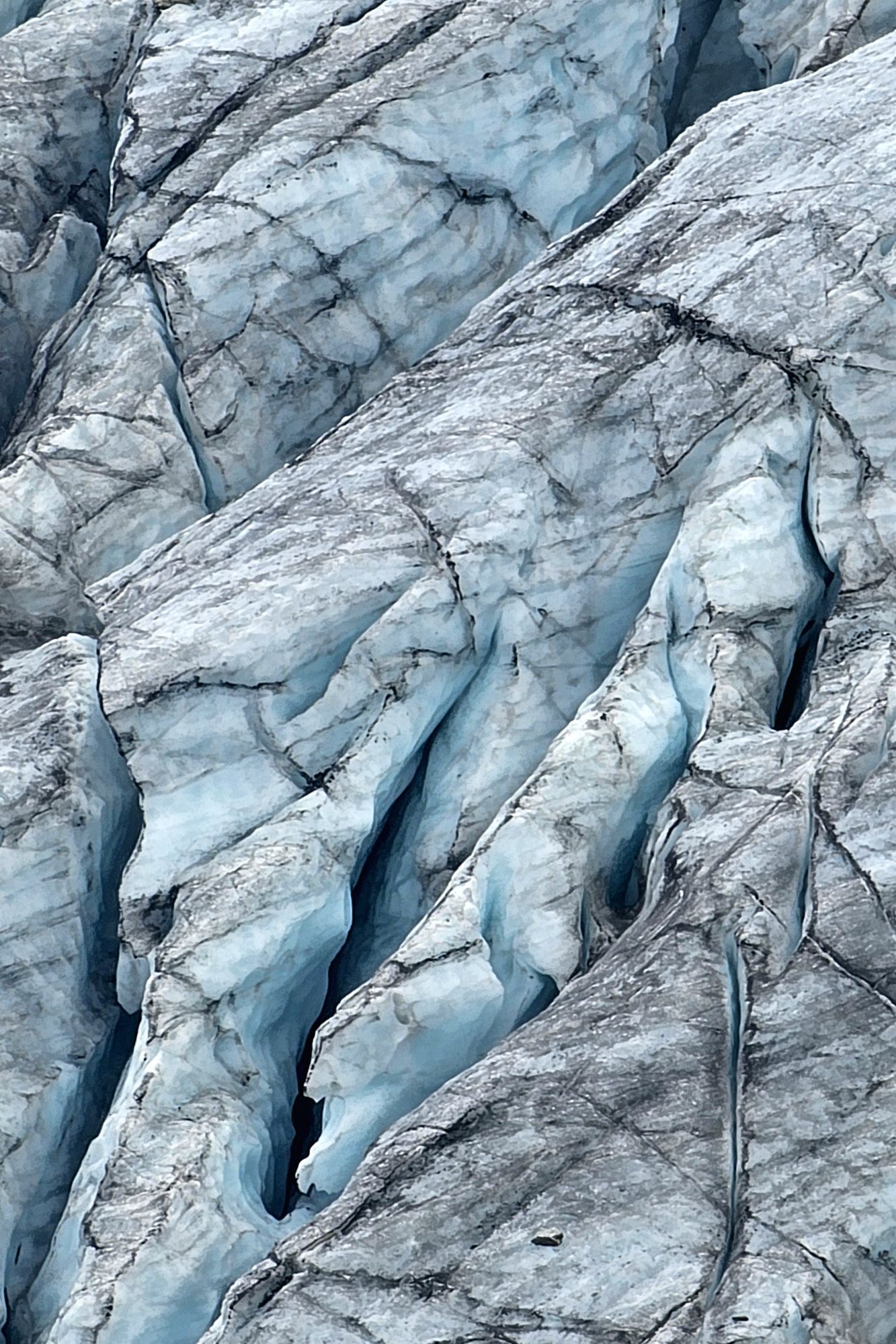
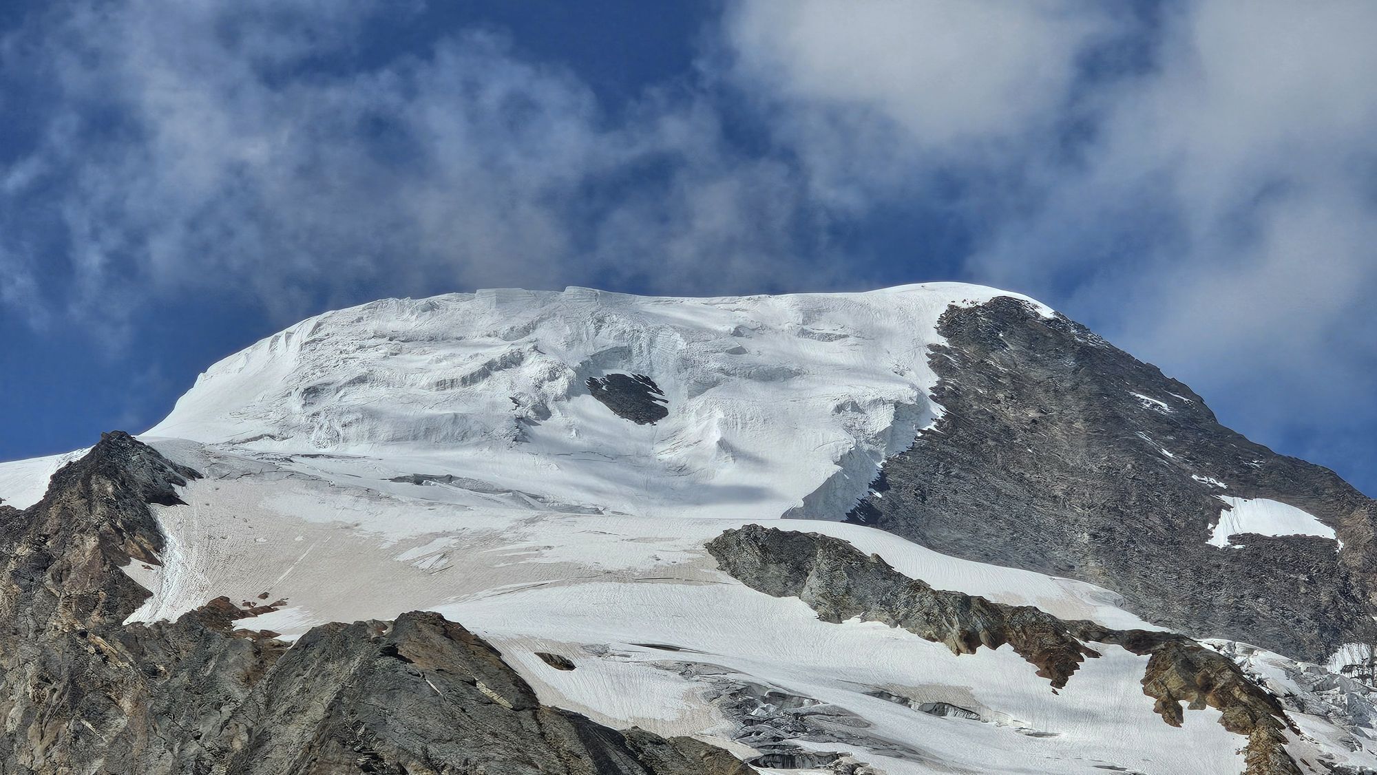
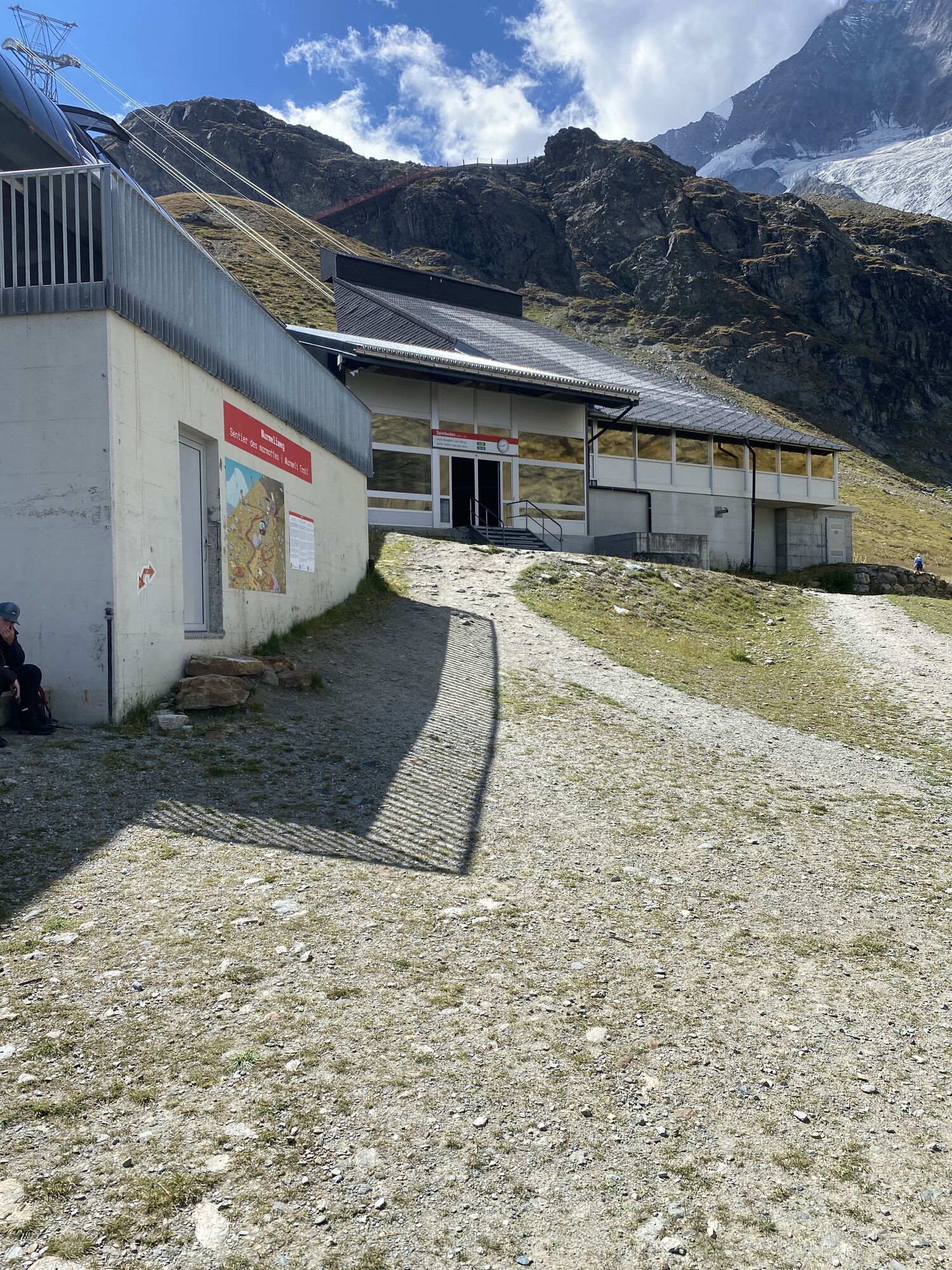
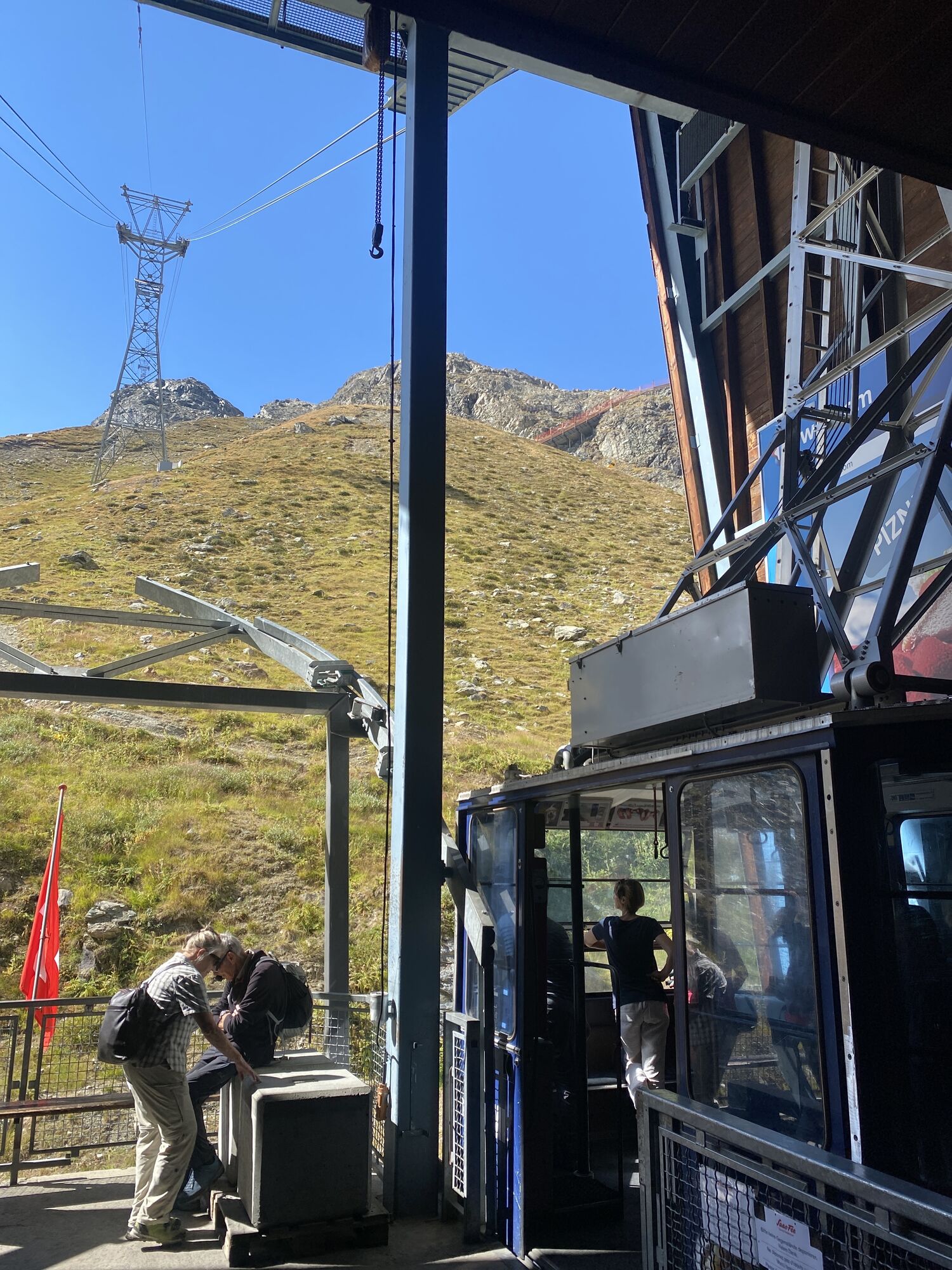
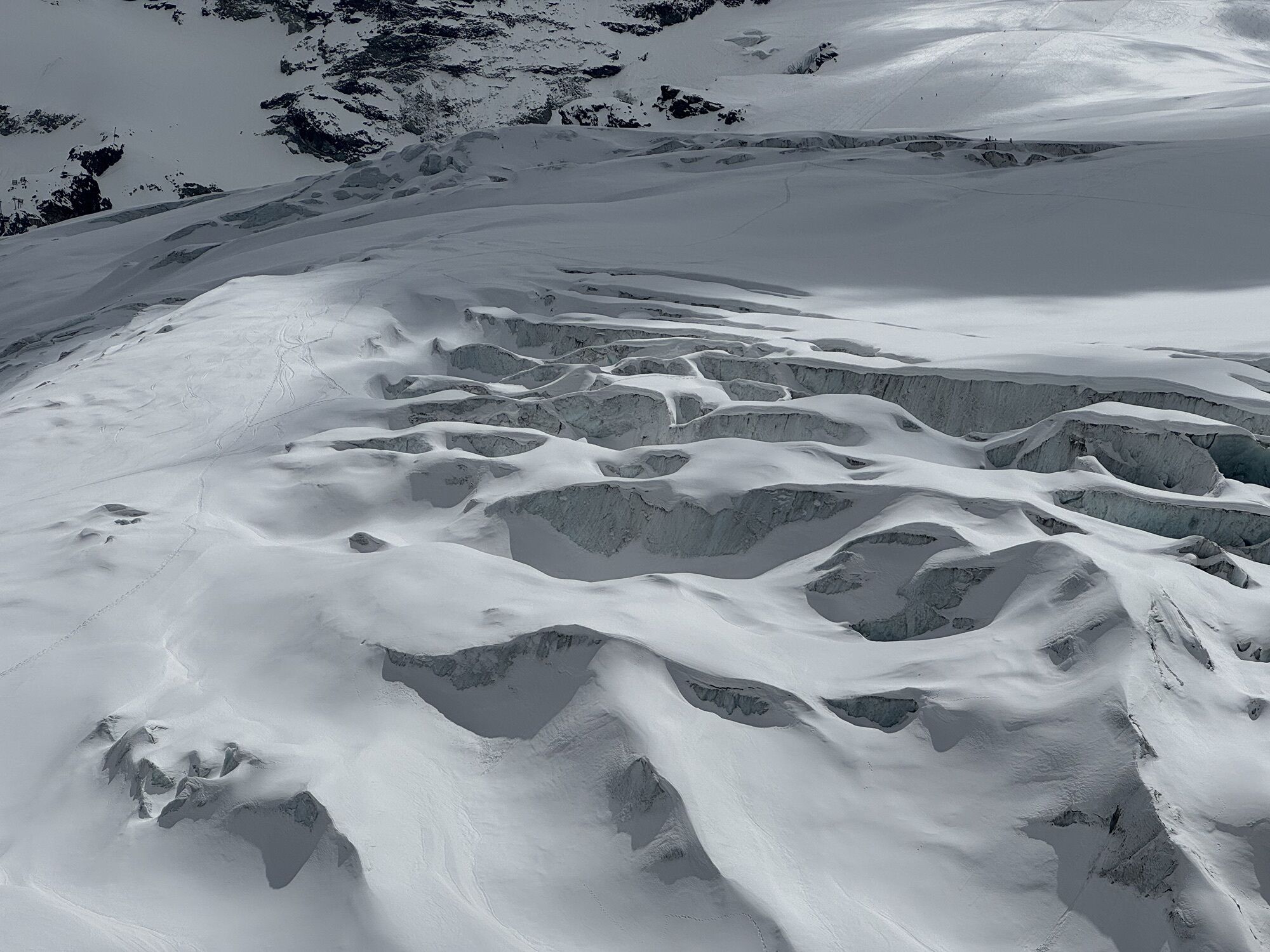
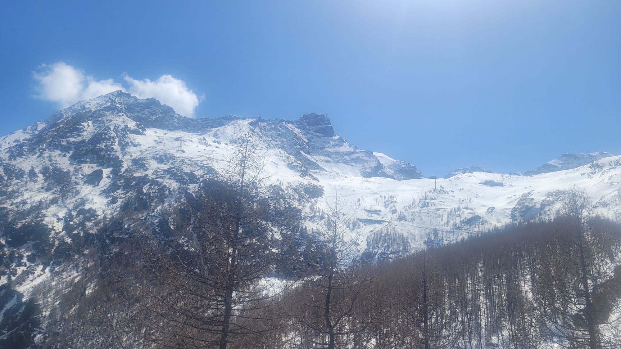
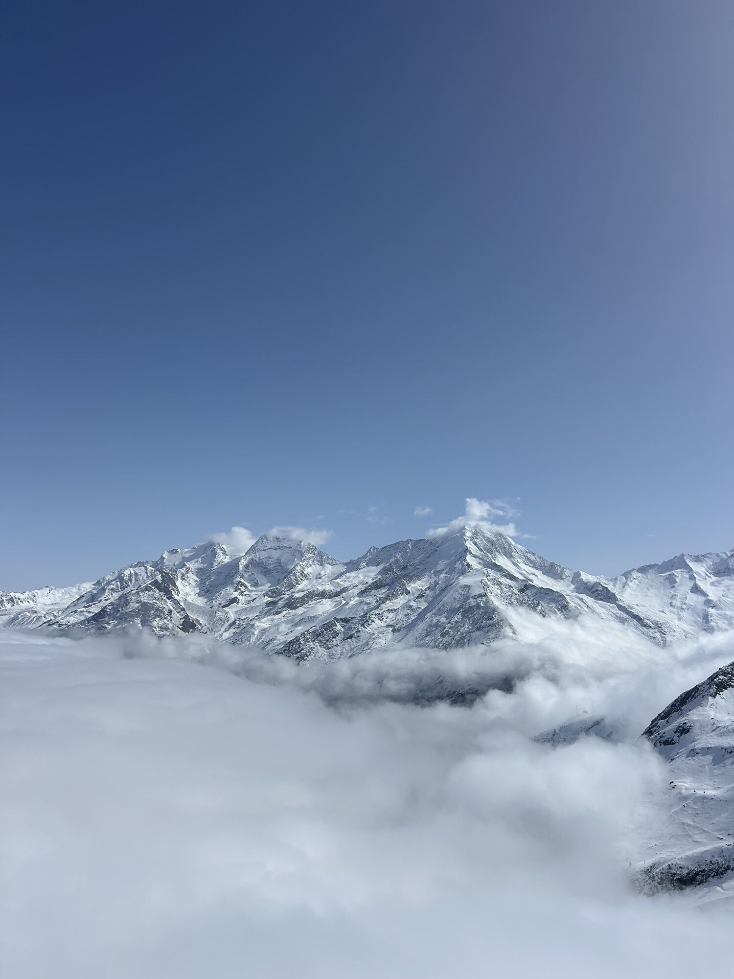
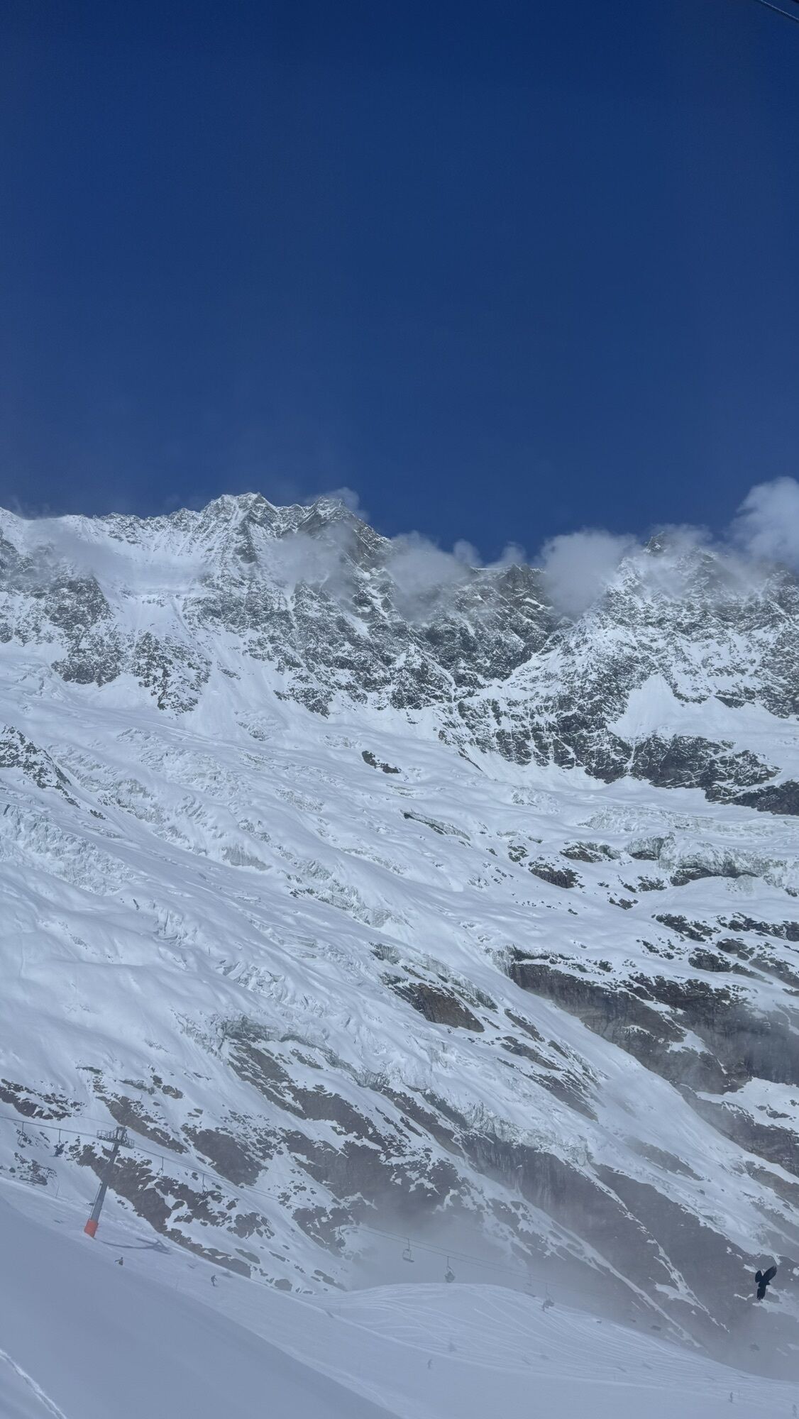
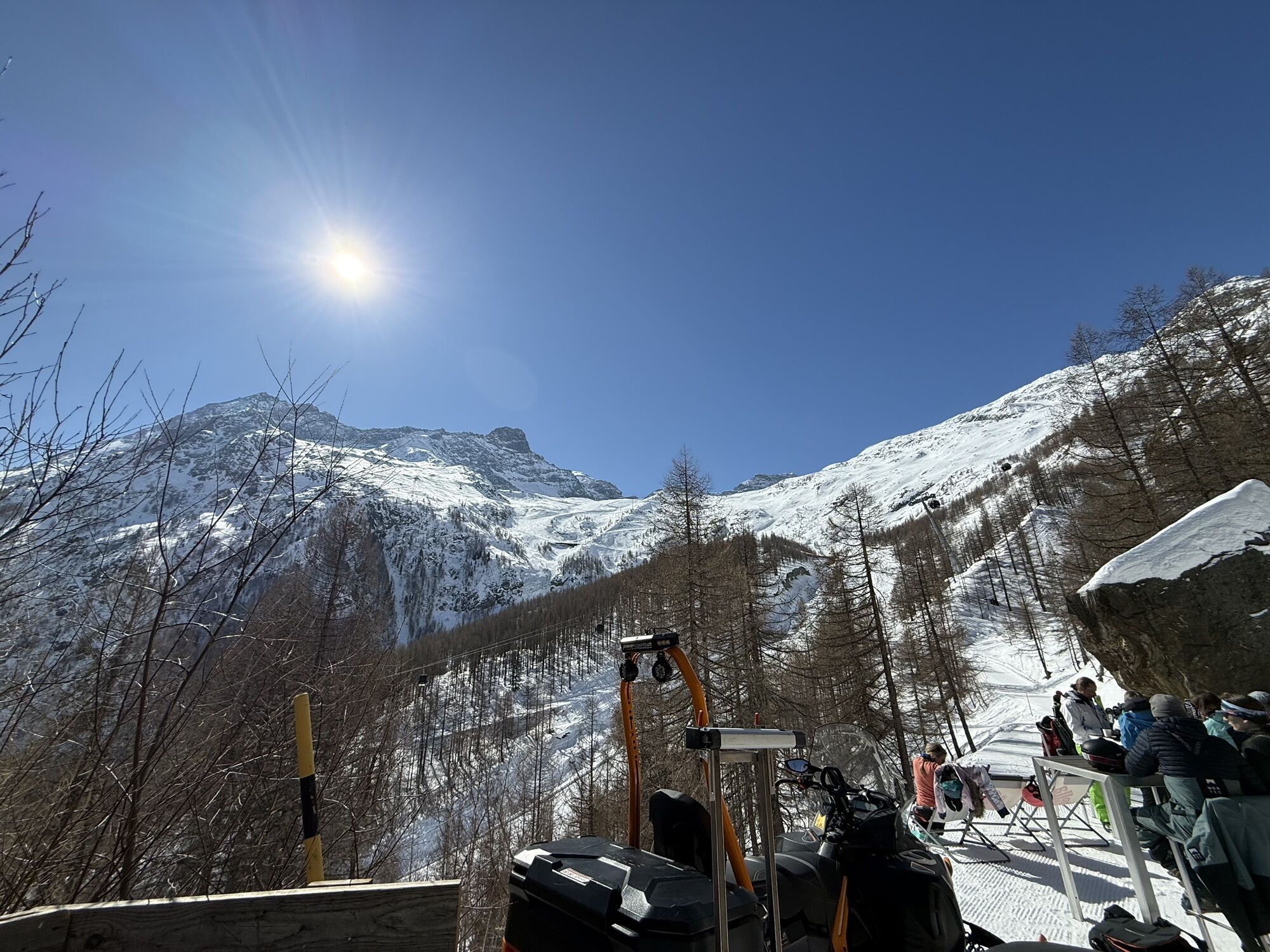
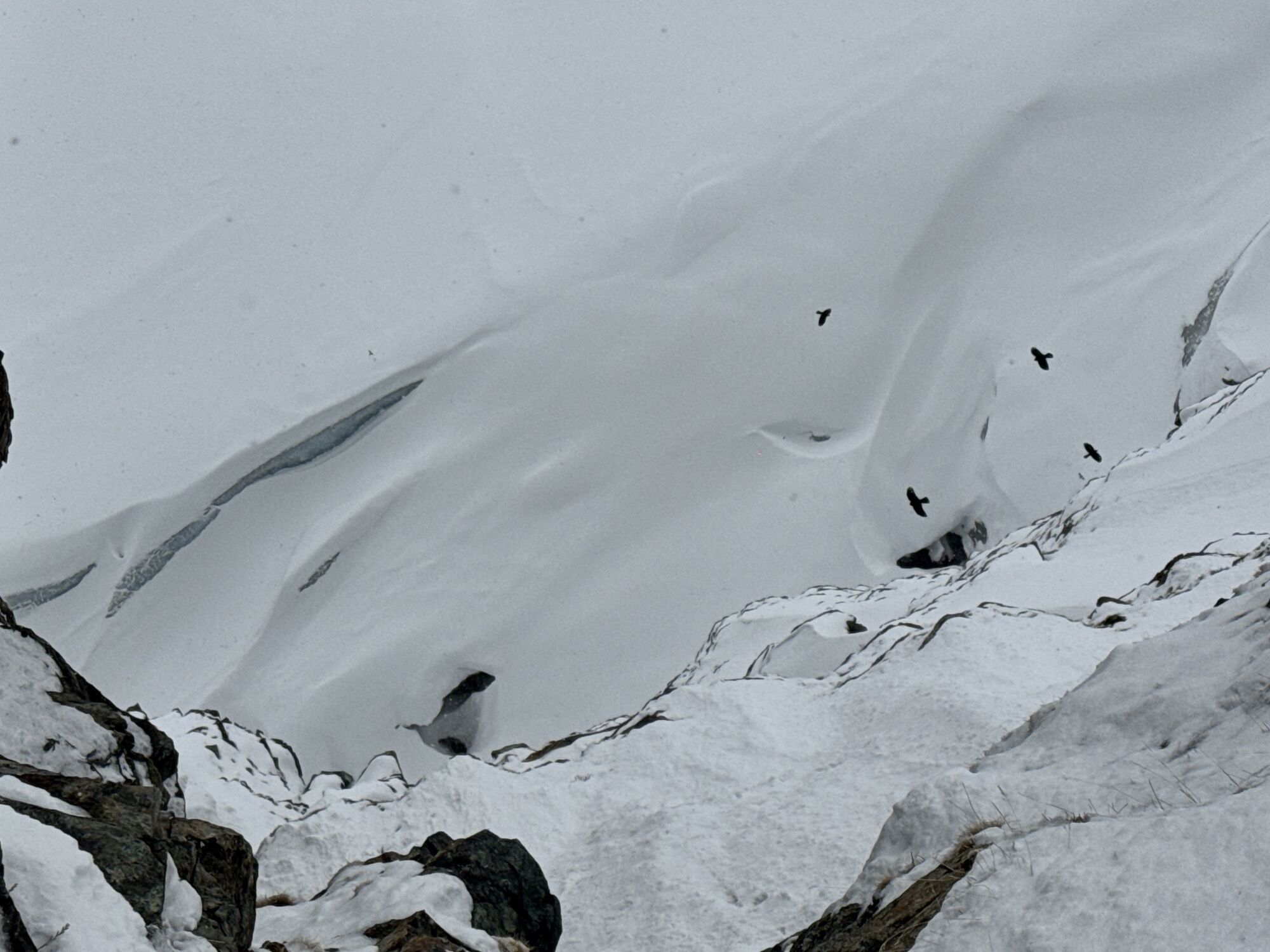
The path leads from the mountain station Längfluh along the ski slope below the Dom and past the glacier to the rock cliffs of the Längfluh. With a view of Spielboden and Saas-Fee, you first pass the ski...
The path leads from the mountain station Längfluh along the ski slope below the Dom and past the glacier to the rock cliffs of the Längfluh. With a view of Spielboden and Saas-Fee, you first pass the ski bridge and then follow the zigzag path down the slope to Spielboden. At Spielboden, you can stop and eat as you like in the mountain restaurant. Behind the restaurant, the path continues in fairly steep terrain towards Saas-Fee. After the Glacier Alp, it leads into the outskirts of the larch forest and to the restaurant Glacier Grotto. From here, the path winds lightly in zigzags through the larch forest, past the glacier lake and the old mill wheel. After descending from the spectacular moraine into the meadows, follow the asphalt road into the village of Saas-Fee.
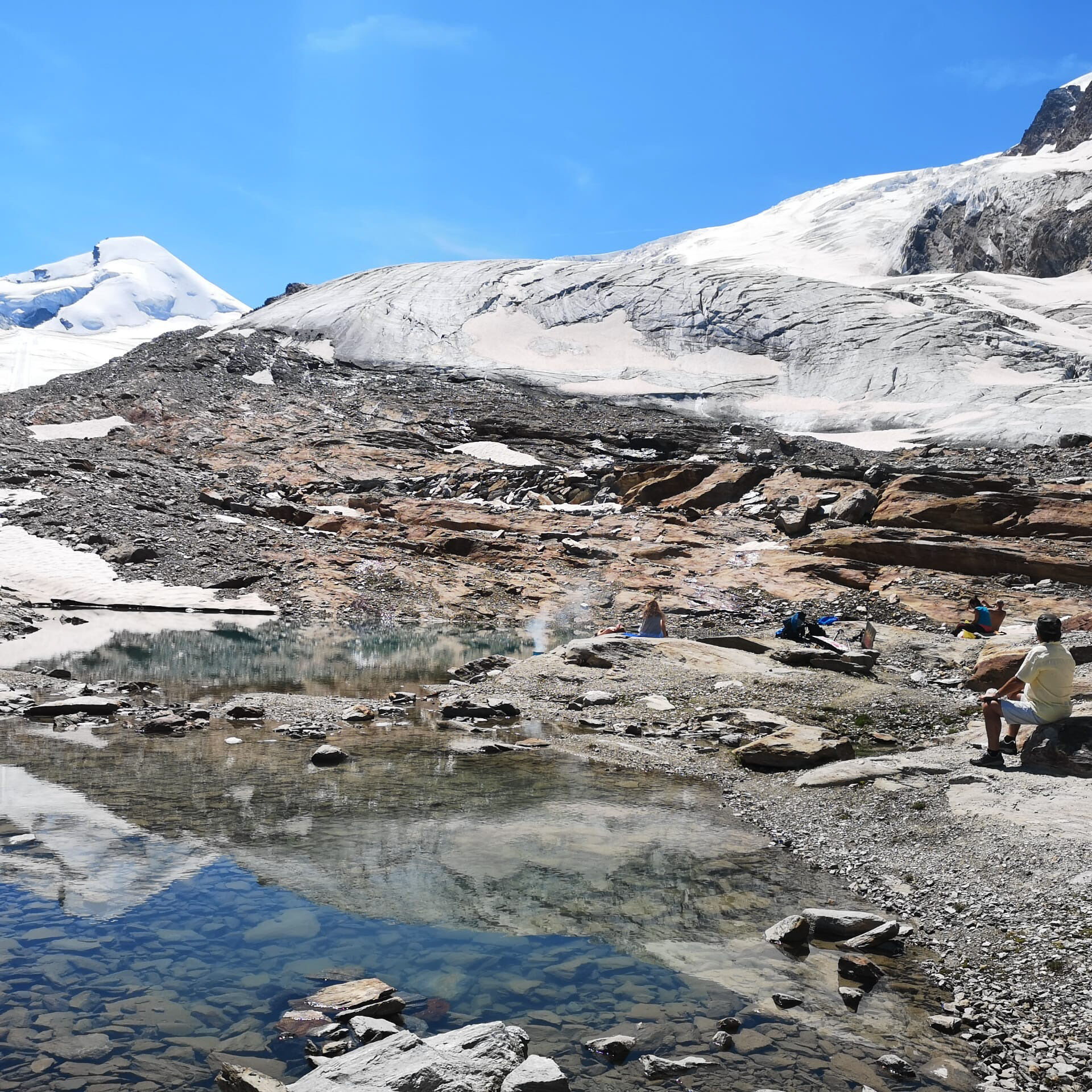
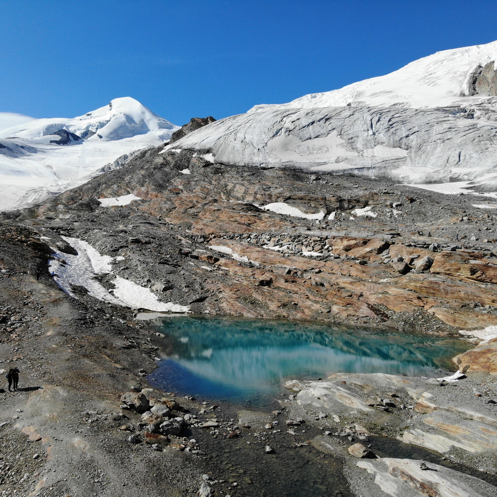
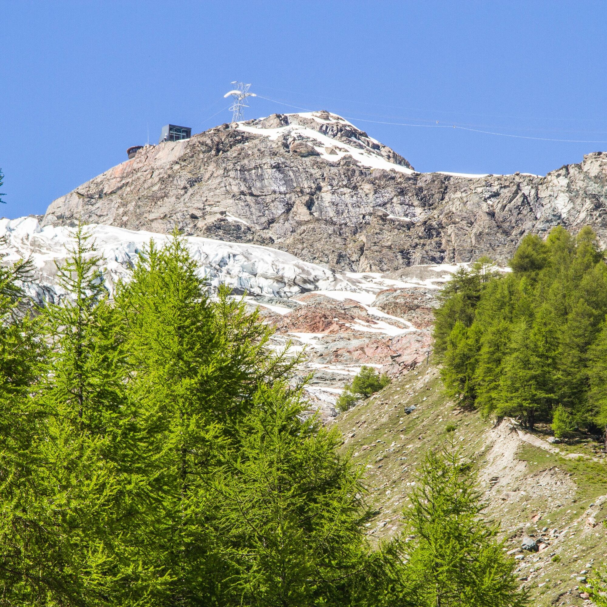
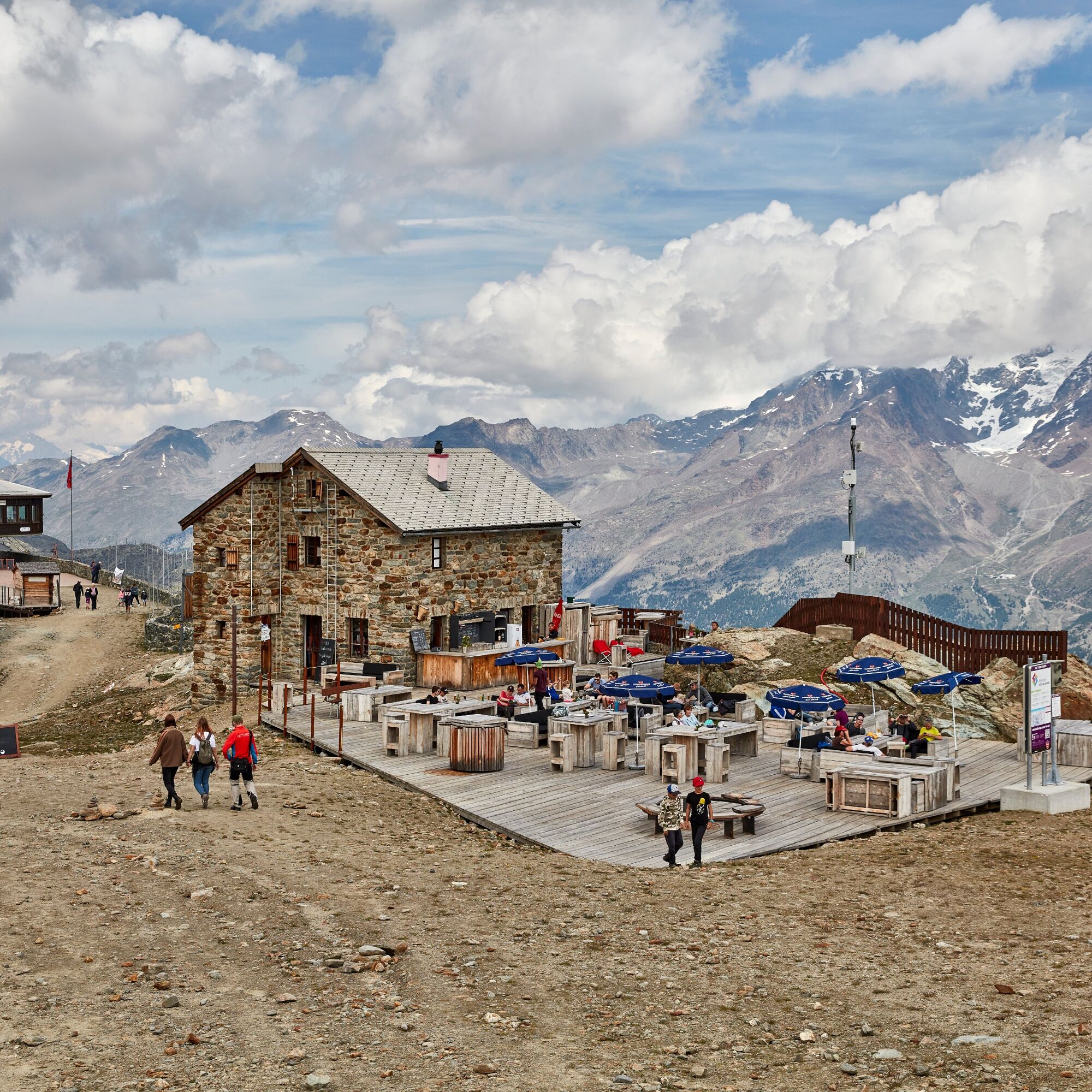
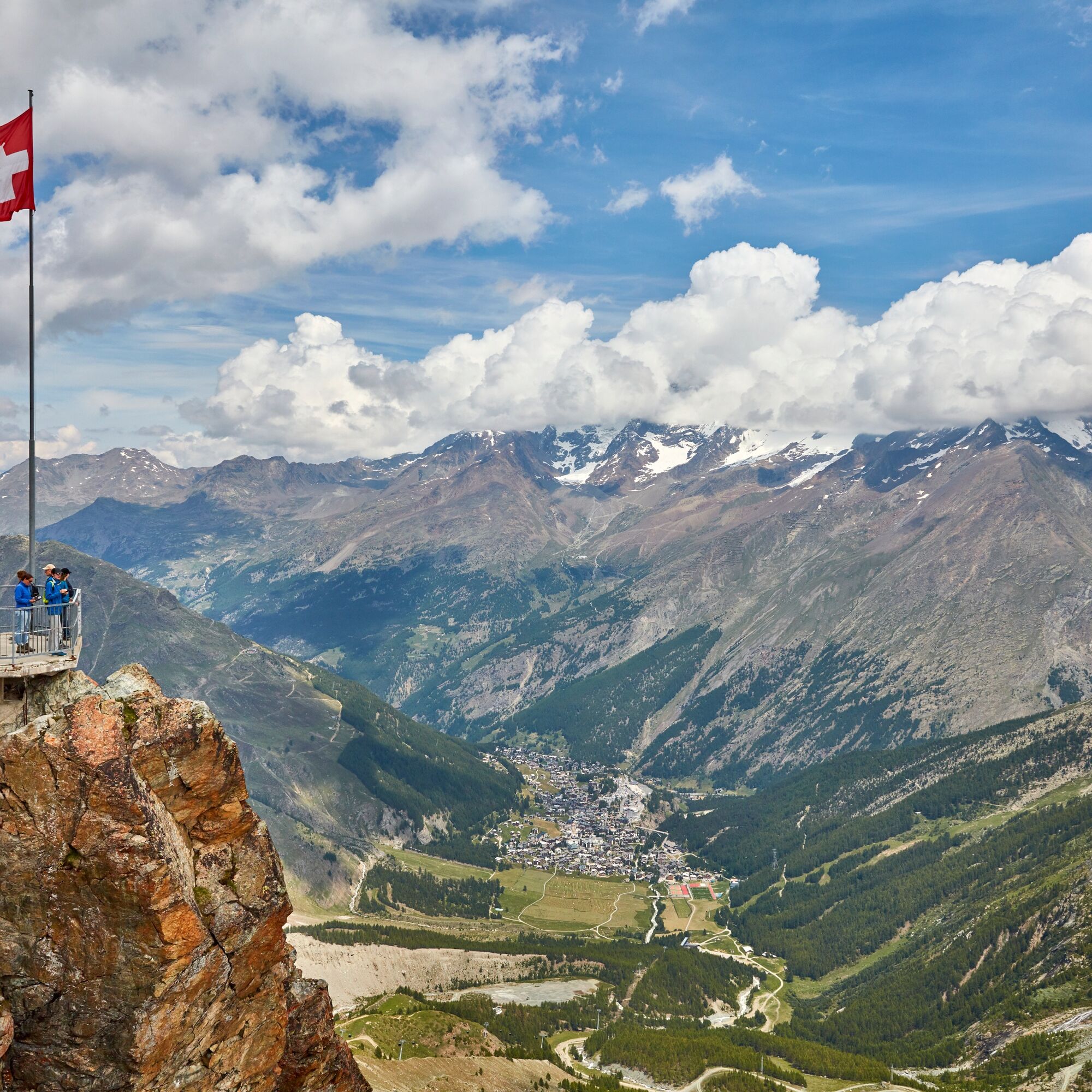
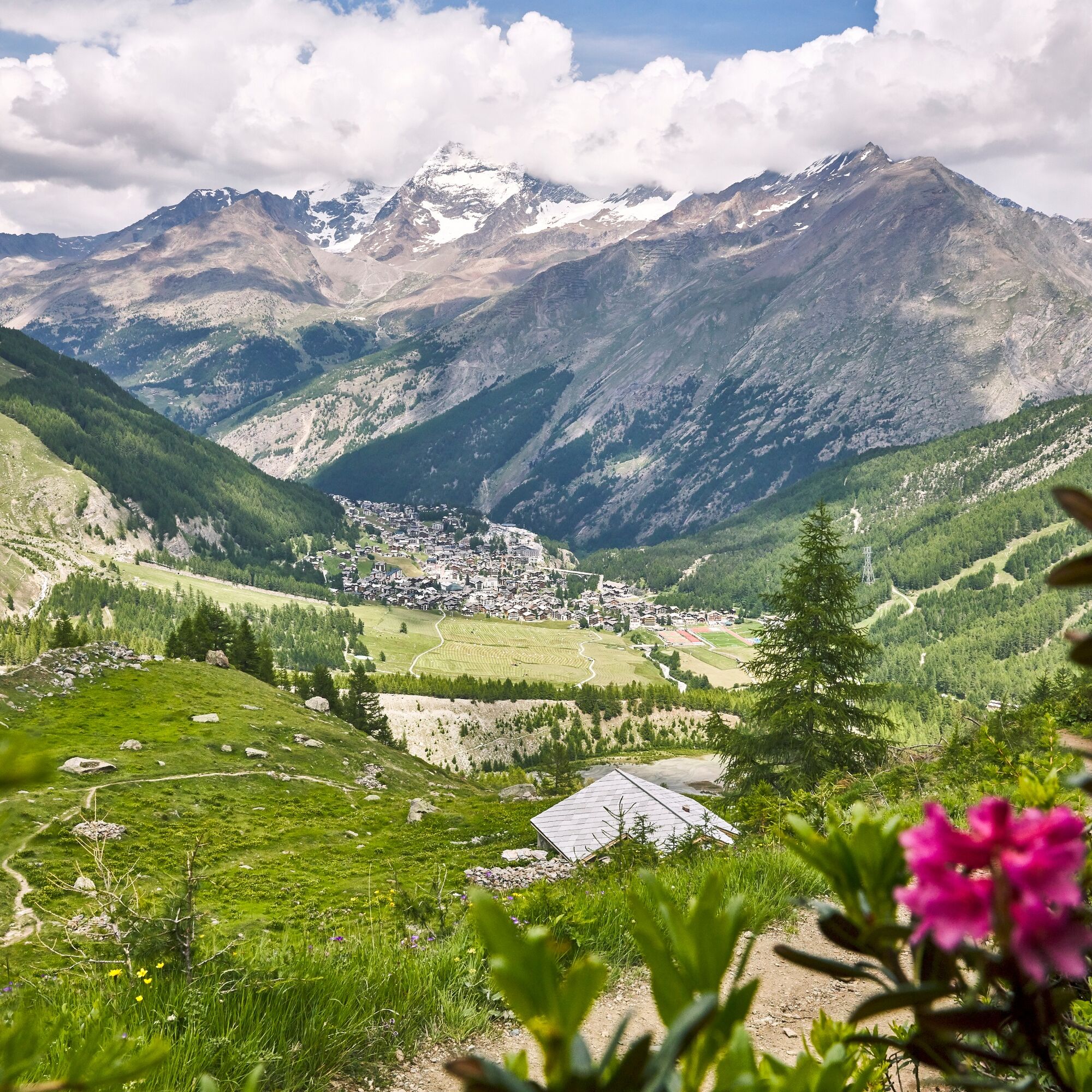
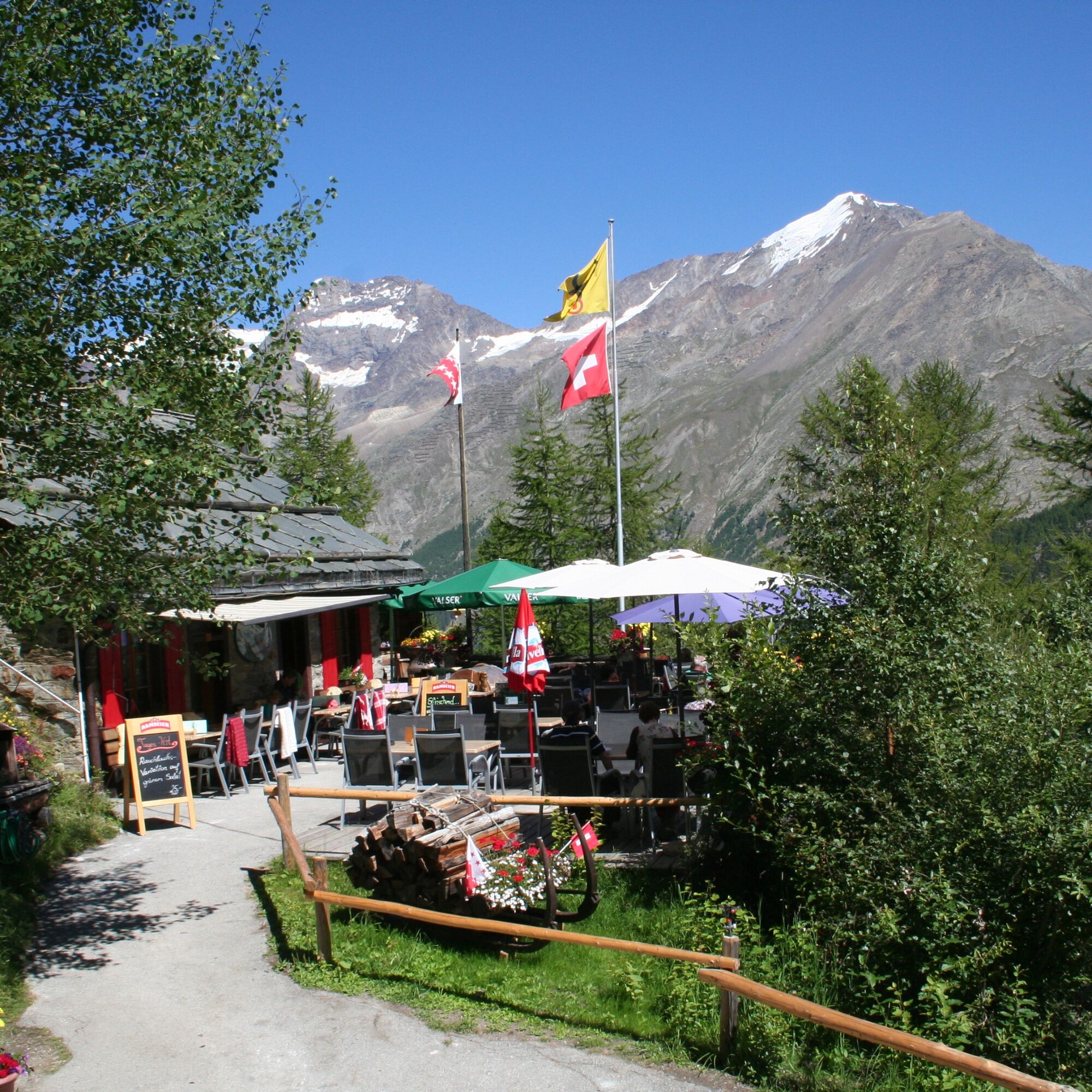

Mountain station Längfluh - Spielboden - Glacier Alp - Glacier Grotto - Glacier Lake - Saas-Fee
Tak
Good footwear
Outdoor clothing: always carry a waterproof jacket
Sun protection
Fluids and provisions
Trekking poles (optional)
Navigation tool
First aid kit
Use of the hiking trails and information on this website is at your own risk. On-site conditions may cause changes to the route.
Use only marked hiking trails and follow all signs and instructions – for your own safety, to protect grazing animals, and not to disturb the peace of wildlife.
Behave considerately towards other trail users and the landscape. Take your waste and the waste of others with you.
Carry sun protection. UV rays at high altitudes can be very strong, even in cloudy weather.
Plan your hike carefully: consider the required fitness of all participants, weather forecasts, and seasonal dependencies.
Weather conditions in the mountains can change very quickly and without warning. Appropriate clothing and enough provisions (food and drink) are very important. Turn back early in bad weather.
Do not go onto glaciers without a mountain guide.
Observe warning signals that indicate danger.
Inform third parties about your route and if possible never go alone.
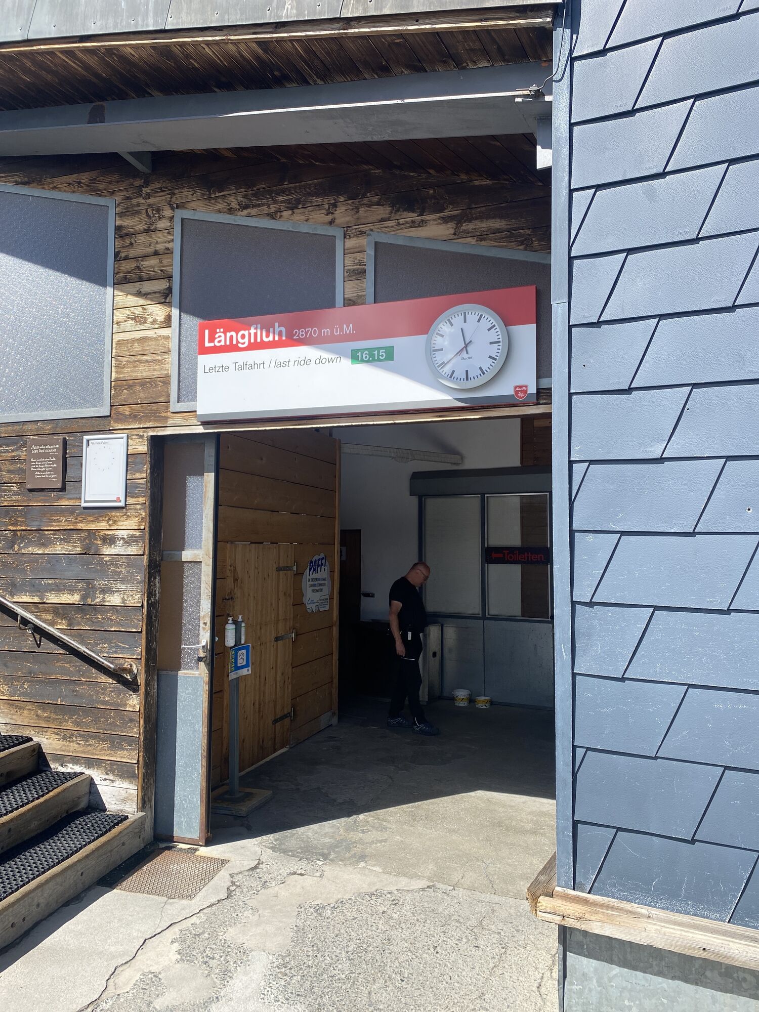
Pay attention to the opening times of the cable cars.
The Saas valley is easy and convenient to reach by car from all directions, whether from Switzerland or abroad. From the north you reach us via Bern through the Lötschberg car shuttle. From the east you come via the Furka Pass or Furka car shuttle. From the south we are reachable via Simplon Pass or Simplon car shuttle and from the west you drive via Lausanne along the Rhone valley to Visp and from there towards Saas-Fee. From Visp you drive south towards Saas-Fee. At the 'Killerhof' roundabout towards Stalden, take the second exit to Saas-Fee. In Saas-Grund, turn right after the church in the direction of Saas-Fee.
Take the SBB to Visp and change there to the postbus towards Saas-Fee (Bus 511). Walk from the bus terminal to the valley station of the Spielboden cable car.
You can find parking in the parking garage directly at the entrance to Saas-Fee.
T2
Saastal Tourismus AG
Obere Dorfstrasse 2
3906 Saas-Fee
Tel.: +41 (0)27 958 18 58
E-Mail:
www.saas-fee.ch
Saastal Bergbahnen AG
Panoramastrasse 5
3906 Saas-Fee
Tel. +41 (0)27 958 11 00
E-Mail:
www.saas-fee.ch/bergbahnen
Restaurant Glacier Grotto
Kempf Sandra and Kari
3906 Saas-Fee
Tel.: +41 (0)27 957 21 60
E-Mail:
www.gletschergrotte.ch
The hike offers a view of the spectacular glacier and mountain landscape. Take your time to enjoy it.
The glacier lake is worth a visit.
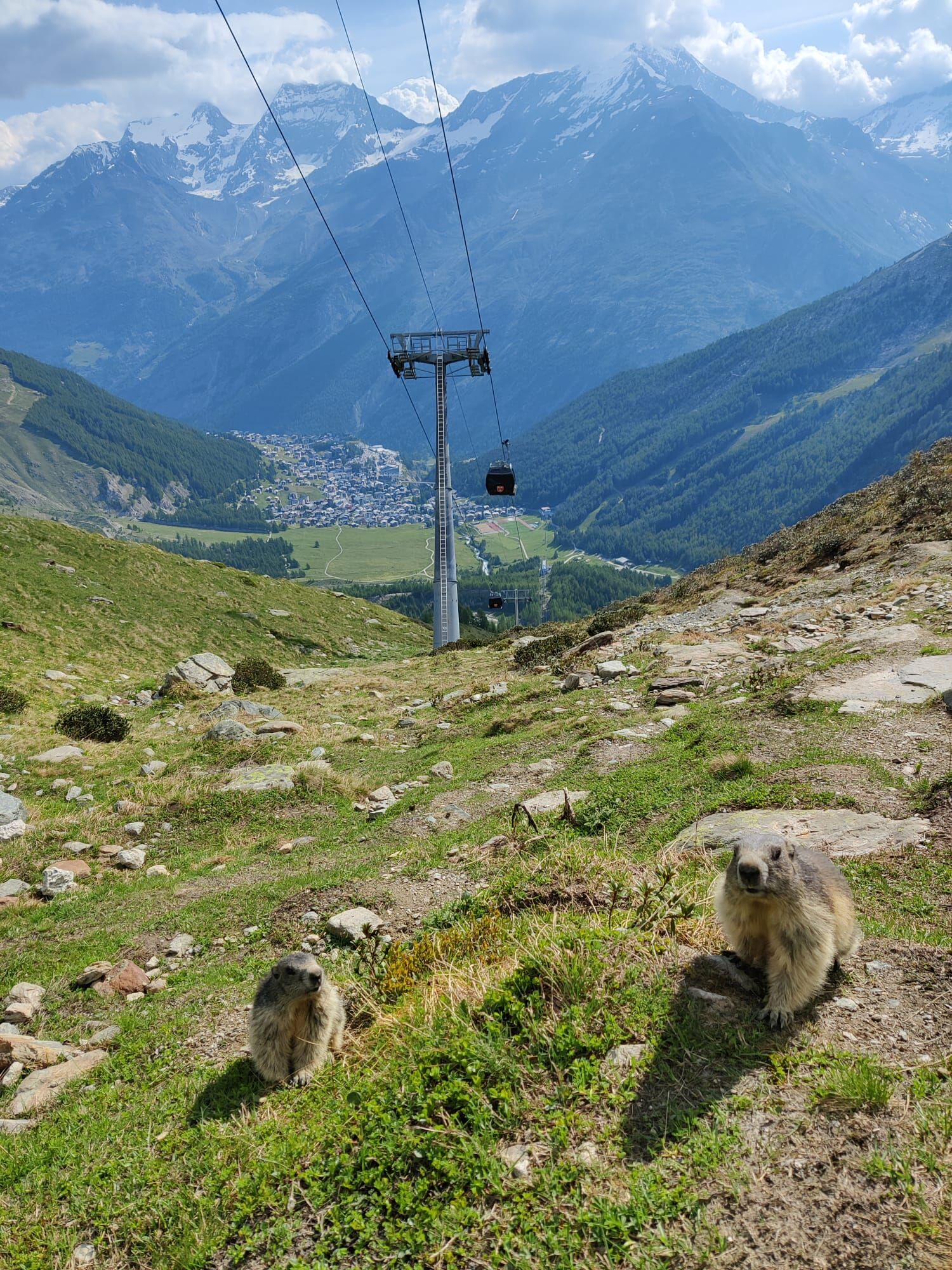
With some luck, you can find tame marmots below Spielboden. They like to be fed with nuts and carrots.

Kamery internetowe z trasy
Uzyskaj wgląd
Zawsze na żywo z ponad 9 500 kamer internetowych. bergfex Jako użytkownik Pro, możesz teraz zobaczyć odpowiednie kamery internetowe dla wielu wycieczek w aplikacji wycieczki od. Pozwala to na bezpośredni podgląd aktualnych warunków.

Popularne wycieczki w okolicy
-
4,9
Allalinhorn vom Mittelallalin über Normalweg
średniWycieczka wysokogórska 6,15 km -
3,3
Europaweg Grächen - Europahütte - Zermatt
ciężkiWędrówka 39,9 km -
3,6
Höhenweg Kreuzboden - Almagelleralp - Saas-Almagell
Wędrówka 9,74 km -
3,5
Waldweg Saas-Fee - Saas-Almagell
Wędrówka 2,83 km -
3,8
Höhenweg Saas-Fee - Grächen
Wędrówka 12,0 km -
5,0
Weissmies Südgrat von Saas Almagell
średniWycieczka wysokogórska 20,5 km -
4,8
Marmot mountain path Spielboden
średniWędrówka 3,89 km -
5,0
Via ferrata Jägihorn
ciężkiVia ferrata 6,14 km -
4,5
Ibex path
średniWędrówka 9,02 km -
4,6
Gspon high-altitude route
średniWędrówka 13,9 km
Wędrówki i tropienie


Nie przegap ofert i inspiracji na następne wakacje
Twój adres e-mail została dodana do listy mailingowej.





