


Almageller Höhenweg
Poziom trudności: T3
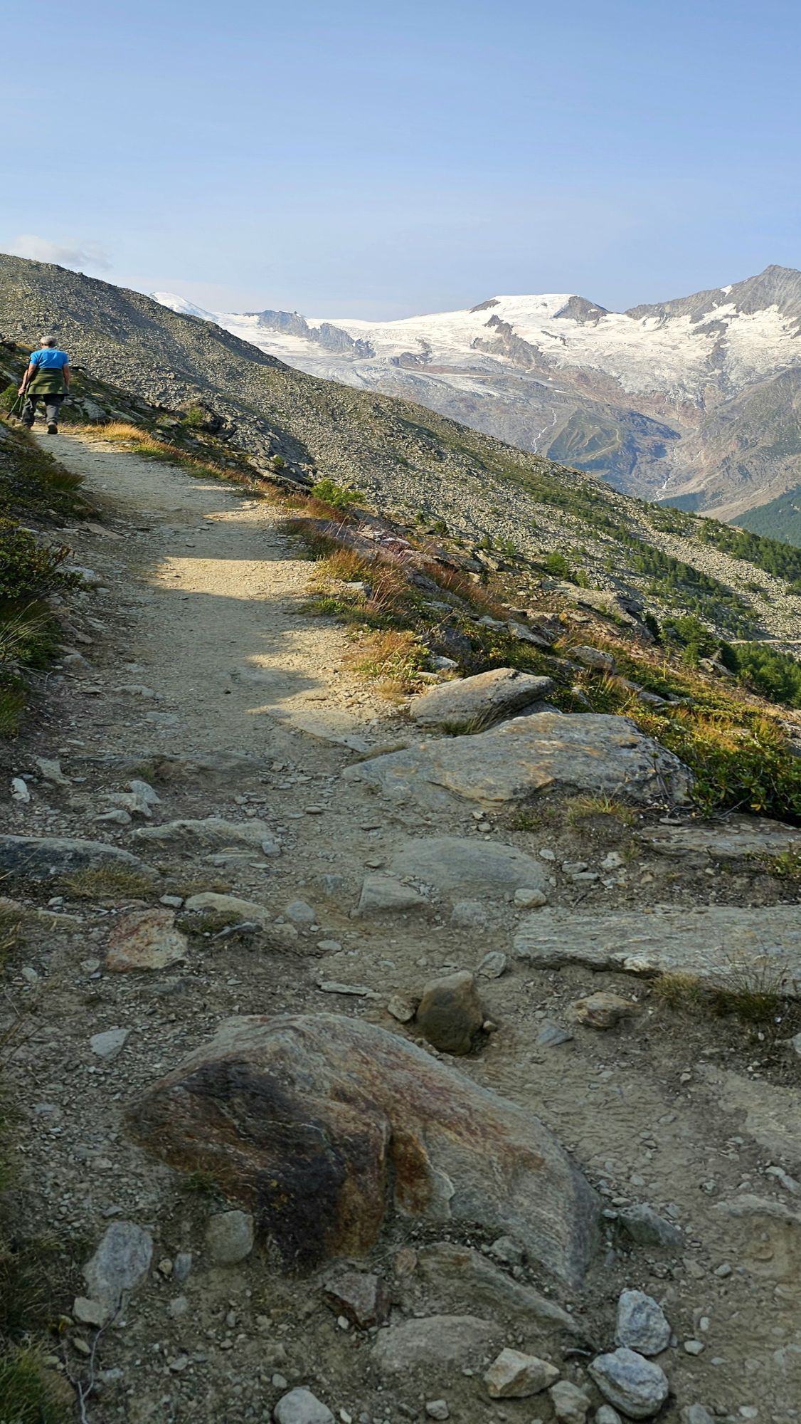

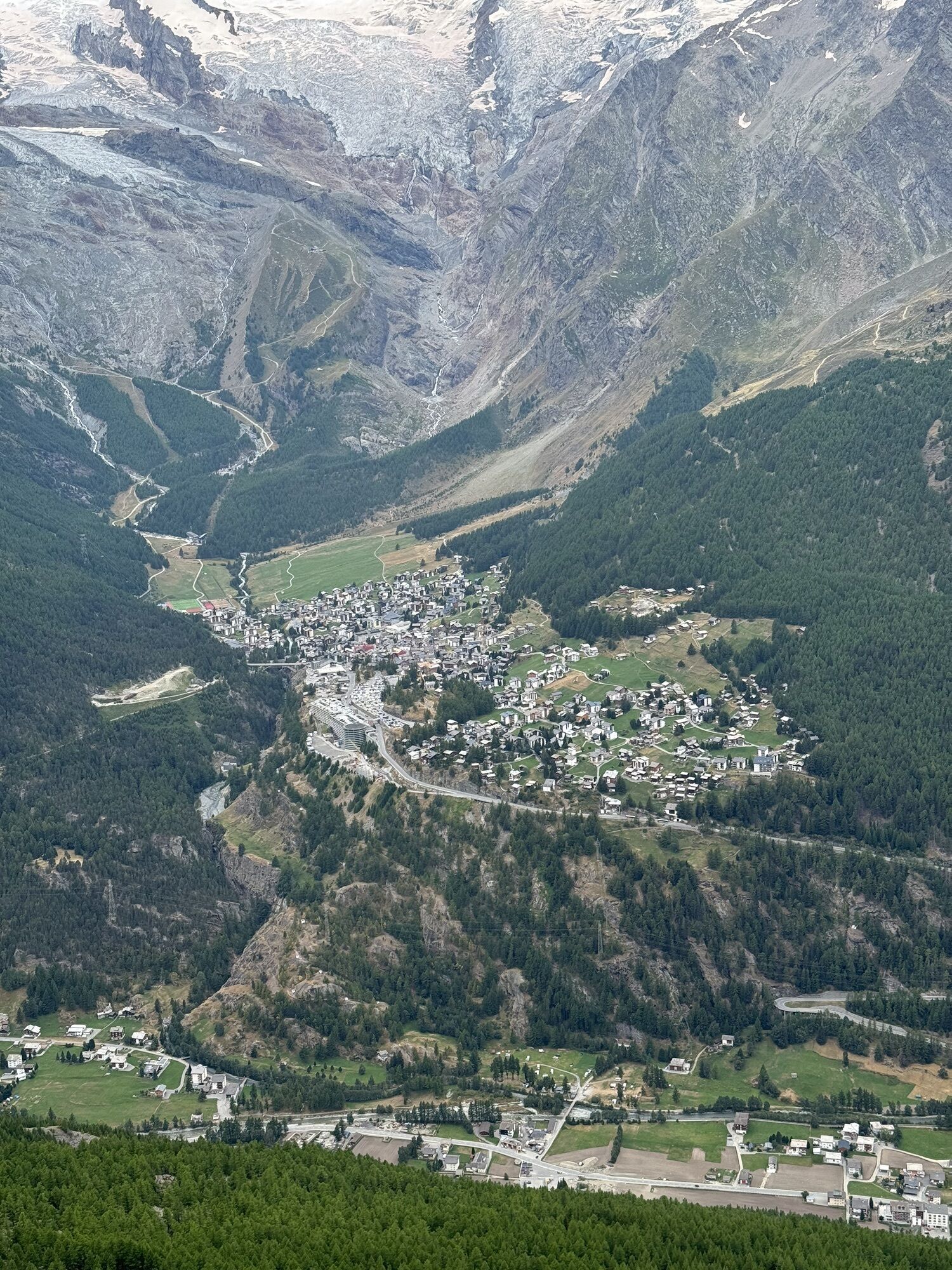
The hike starts at the Kreuzboden station, which can be reached by the Hohsaas mountain railways. The path runs southwards towards Saas-Almagell. The first section is marked as an alpine flower promenade....
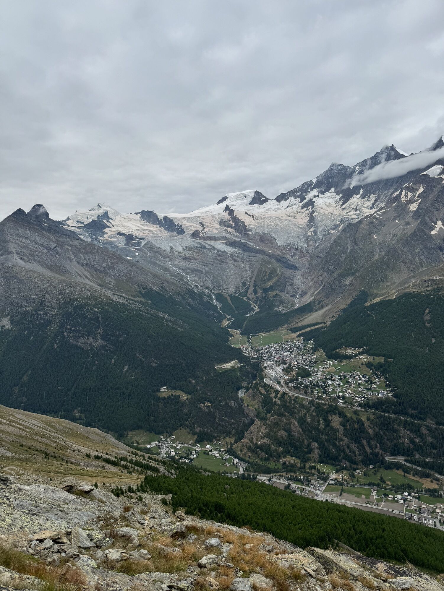
The hiking route continues downstream until you reach a junction where the path on the right continues to Saas-Almagell.
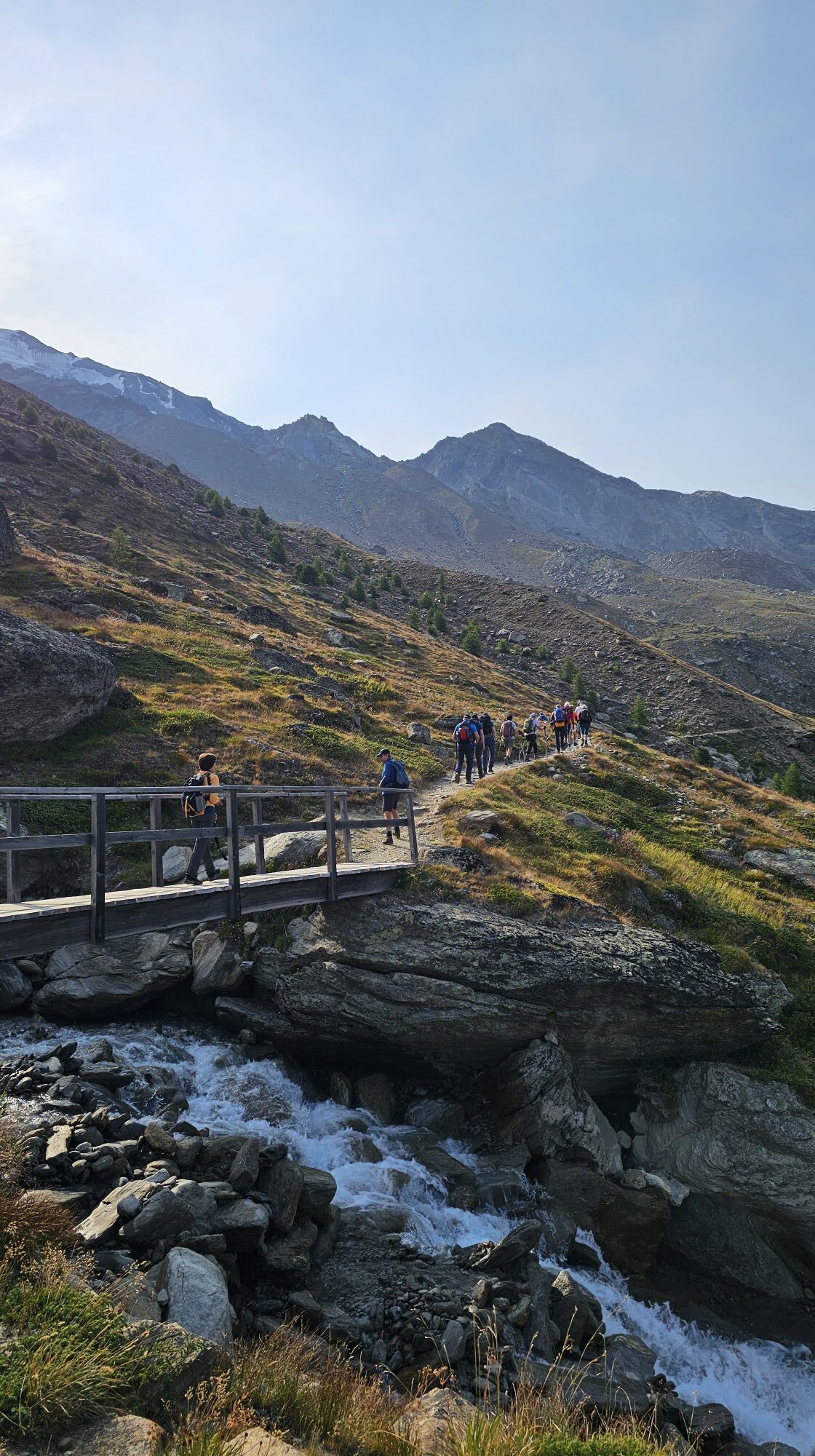
Alternatively, the left path leads to the adventure trail. The beginning of this section, which requires surefootedness and a head for heights, is marked with an information board. After passing the adventure trail with two spectacular suspension bridges, the route leads through the forest to a small mountain road, which leads down via the Alp Furggstalden to the village of Saas-Almagell.
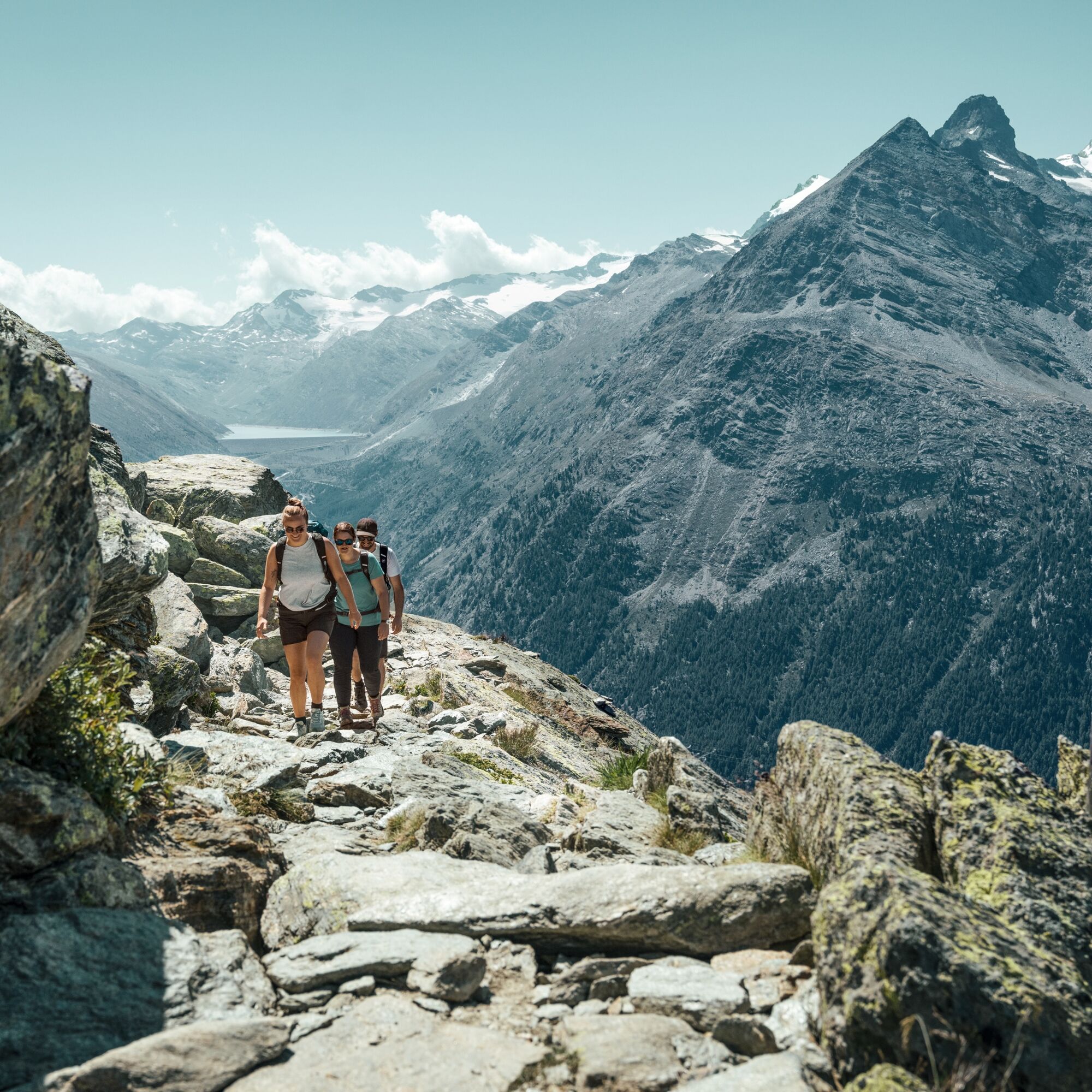
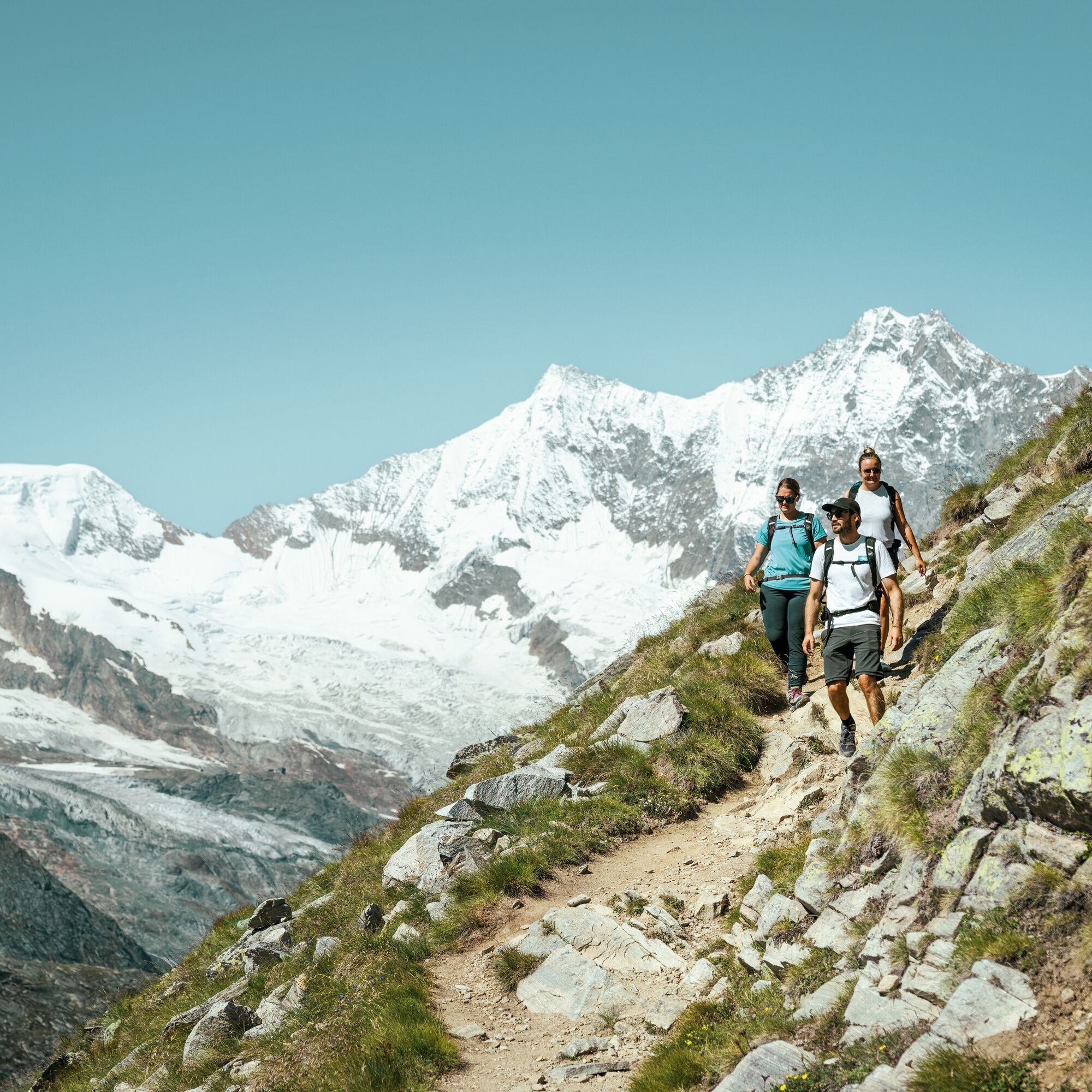
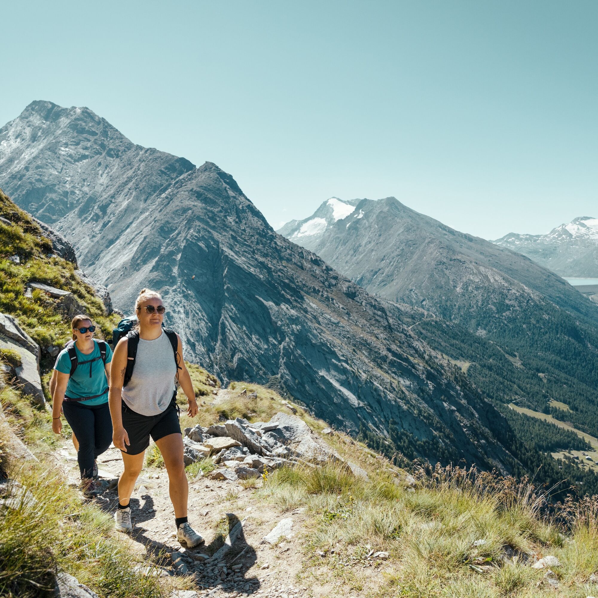
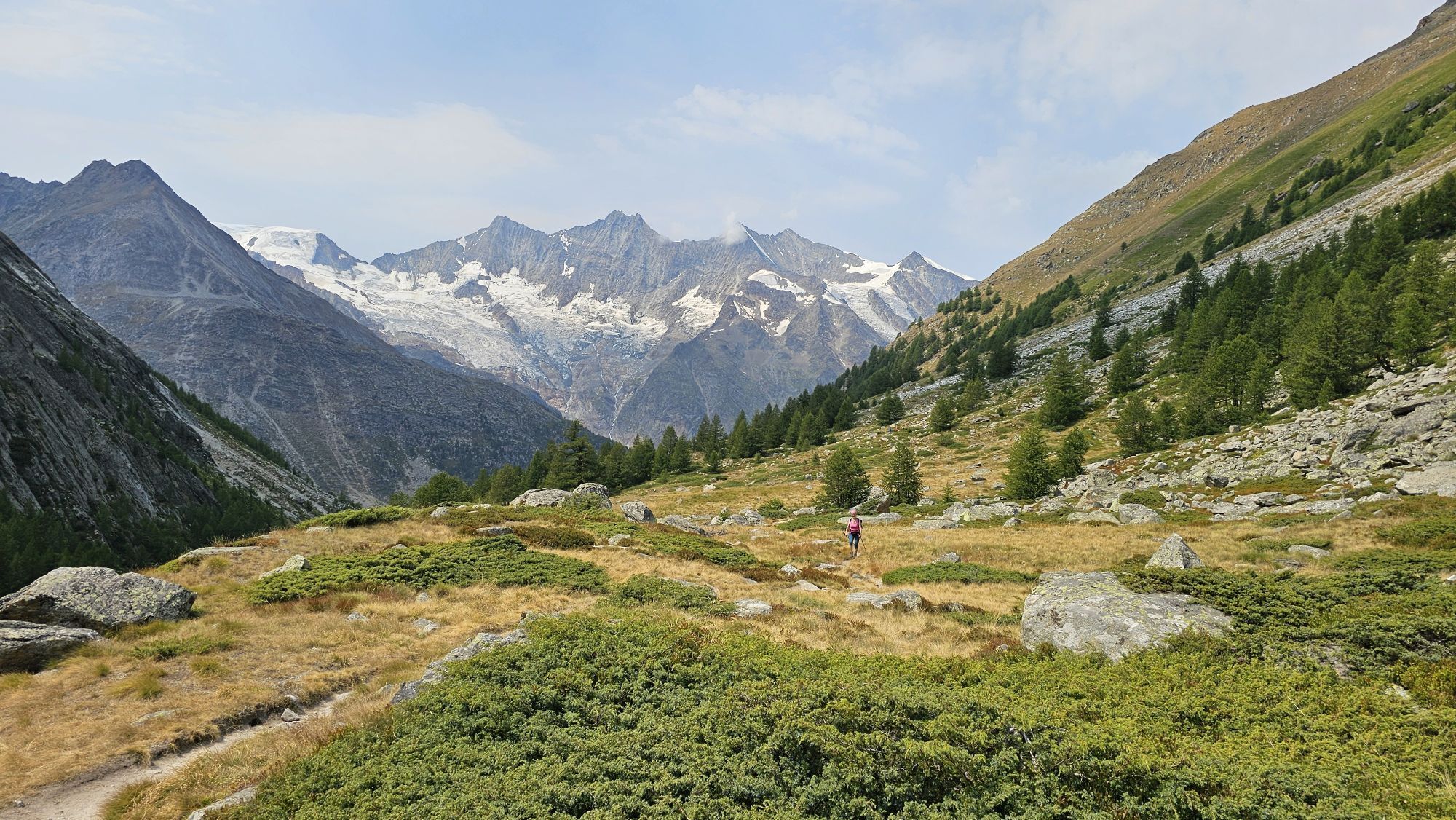
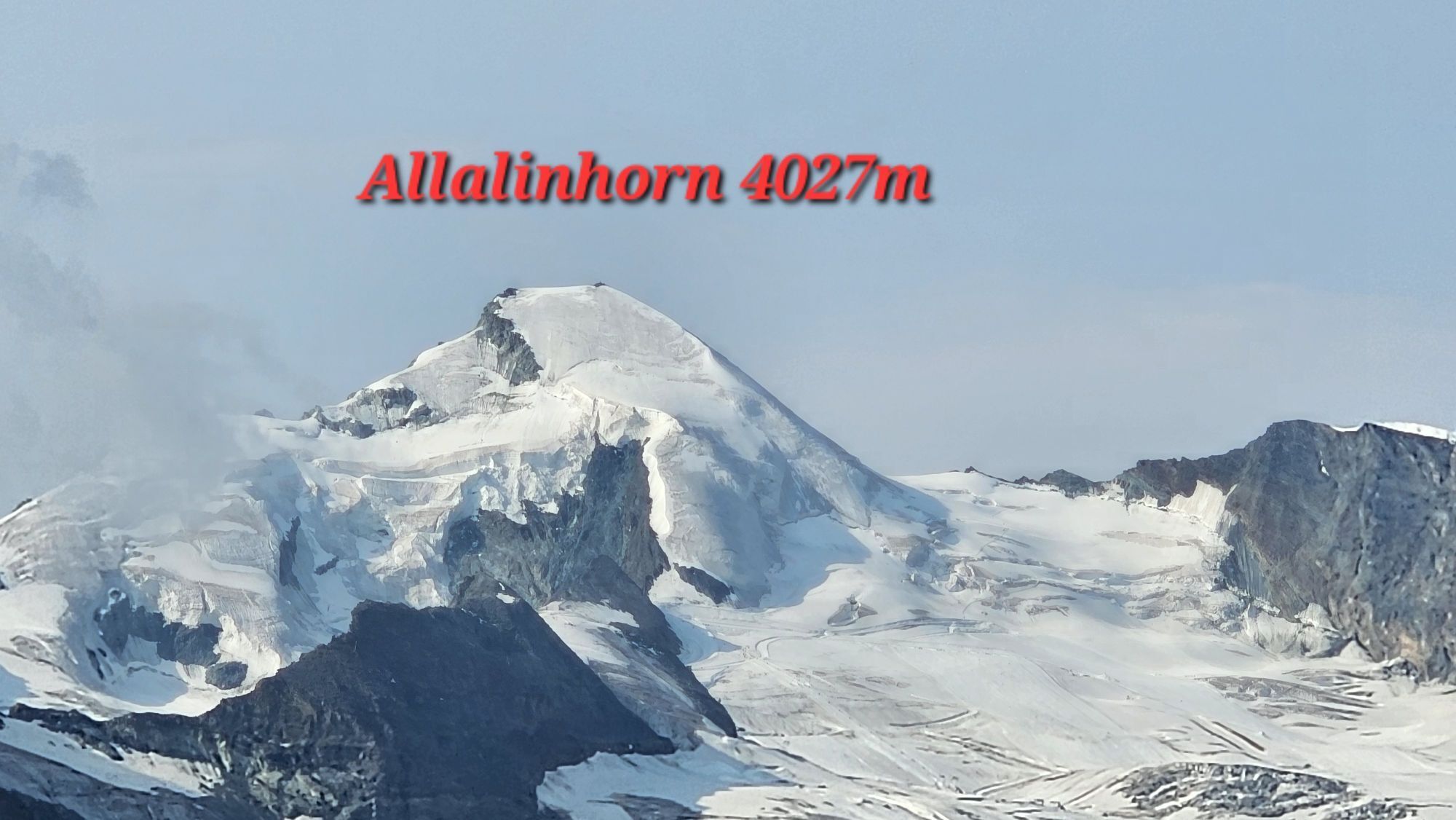
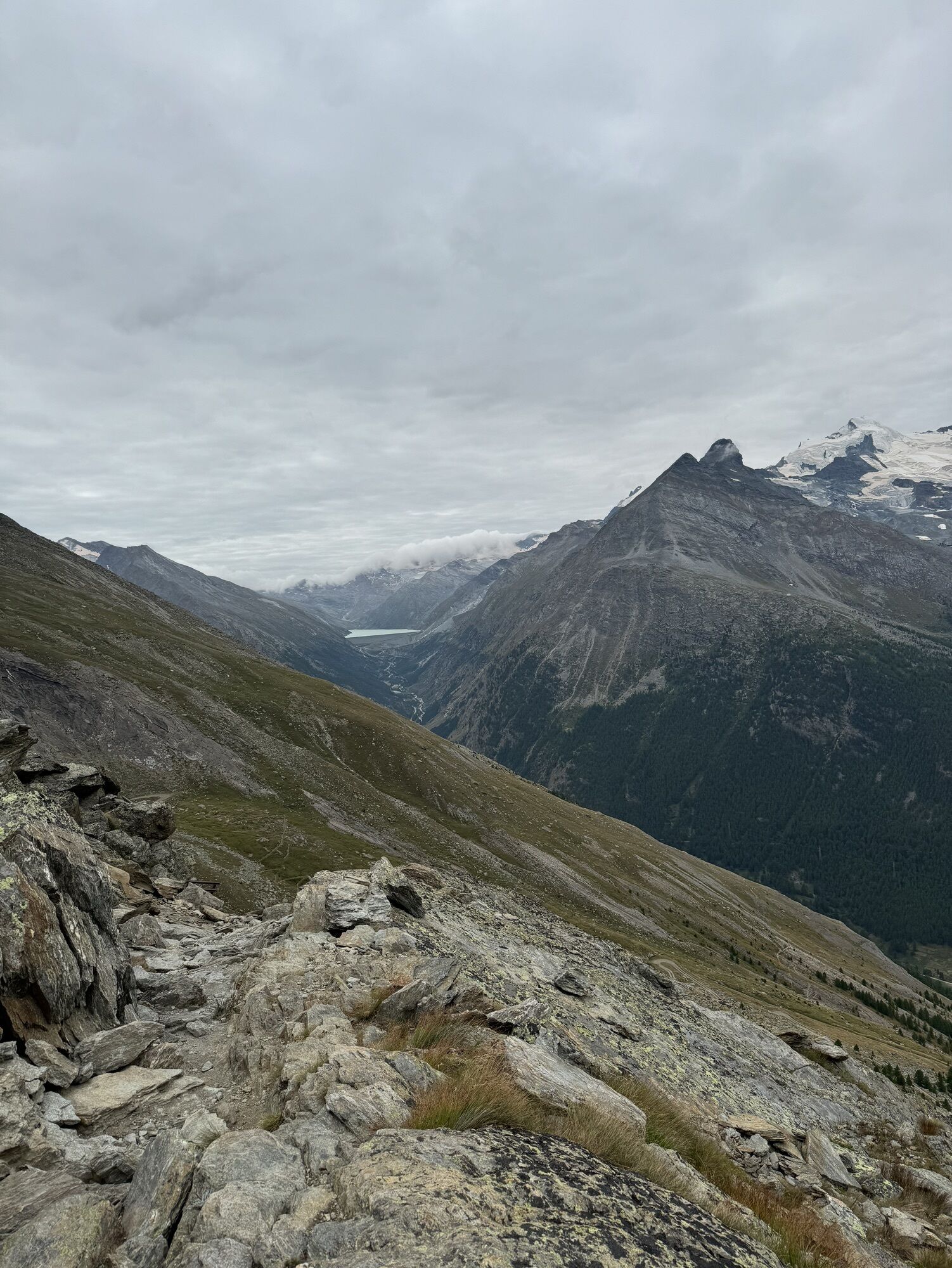
Chrizbodu - Triftgrätji - Hehbord - Wyssi Flüe - Almagelleralp - Chüelbrunnji - Saas-Almagell
Good footwear
Outdoor clothing: Always carry a waterproof jacket
Sun protection
Fluids and provisions
Hiking poles (optional)
Navigation tool
First aid kit
The use of the hiking trails and information on this website is at your own risk. The conditions on site may cause changes to the route.
Use only marked hiking trails and follow all signposts and instructions – for your own safety, to protect farm animals, and without disturbing the peace of wildlife.
Be considerate of other trail users and the landscape. Take your waste and that of others with you.
Carry sun protection. UV rays at high altitudes can be very strong, even in cloudy weather.
Plan your hike carefully: consider the fitness required of all participants, weather forecasts, and seasonal dependencies.
Weather conditions in the mountains can change very quickly and without warning. Appropriate clothing and sufficient provisions (food and drink) are very important. Turn back early in bad weather.
Do not go on glaciers without a mountain guide.
Observe warning signs that indicate dangers.
Inform third parties about your route and, if possible, never go alone.
Pay attention to the opening times of the mountain railways.
The Saas Valley is easily and conveniently accessible by car from all directions, whether from Switzerland or abroad. From the north, you reach us via Bern through the Lötschberg car shuttle. From the east, you come via the Furka Pass or the Furka car shuttle. From the south, we are accessible via the Simplon Pass or the Simplon car shuttle, and from the west, you drive via Lausanne along the Rhone Valley to Visp and from there towards Saas-Fee. From Visp you drive south towards Saas-Fee. At the "Killerhof" roundabout near Stalden, take the second exit to Saas-Fee and follow the main road to Saas-Grund.
Take the SBB to Visp and change there to the post bus towards Saas-Fee (Bus 511). Get off at Saas-Grund at the Bergbahnen stop.
Parking spaces are available at the valley station of the Hohsaas mountain railways.
T3
Obere Dorfstrasse 2
3906 Saas-Fee
Tel.: +41 (0)27 958 18 58
E-Mail: info@saas-fee.ch
www.saas-fee.ch
Mountain Railways Hohsaas AG
Seilbahnstrasse 18
3910 Saas-Grund
Tel.: +41 27 958 15 80
E-Mail: info@hohsaas.ch
www.hohsaas.ch
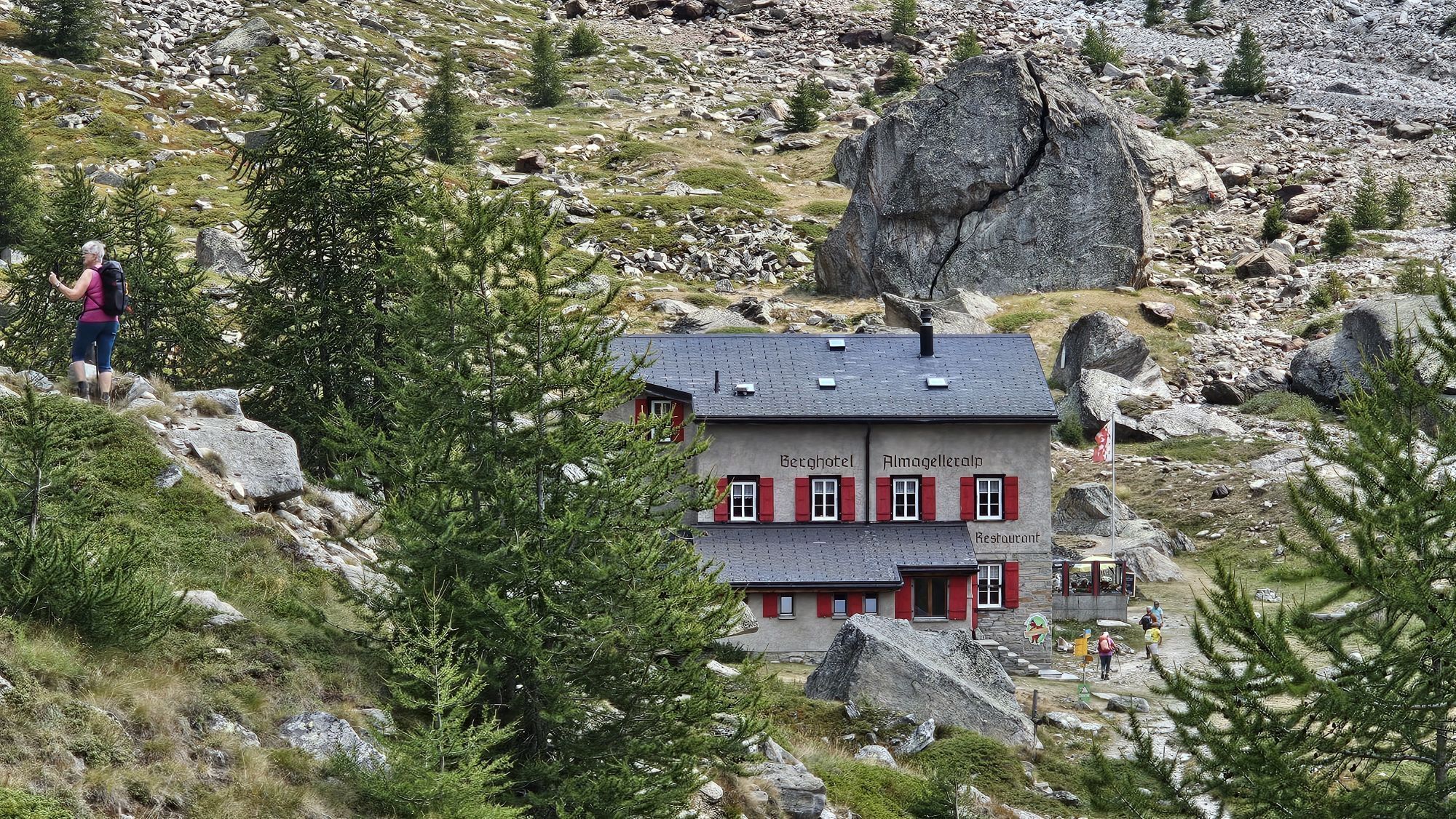
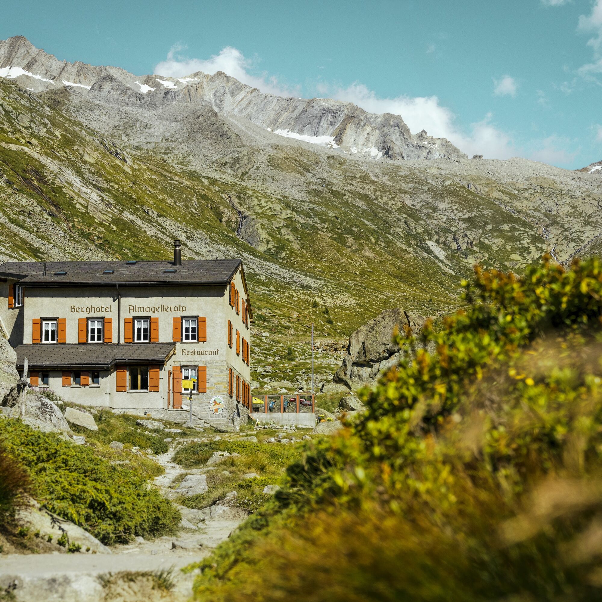
Mountain Hotel Almagelleralp
Anthamatten Urs
3905 Saas-Almagell
Tel.: +41 79 613 79 85
E-Mail: info@almagelleralp.ch
www.almagelleralp.ch
Carte per giri panoramici: corse Furggstalden e Kreuzboden - disponibili presso le stazioni a valle delle funivie.
Kamery internetowe z trasy

Popularne wycieczki w okolicy
- 4,9
Allalinhorn vom Mittelallalin über Normalweg
średniWycieczka wysokogórska 6,15 km - 3,3
Europaweg Grächen - Europahütte - Zermatt
ciężkiWędrówka 39,9 km - 3,6
Höhenweg Kreuzboden - Almagelleralp - Saas-Almagell
Wędrówka 9,74 km - 3,5
Waldweg Saas-Fee - Saas-Almagell
Wędrówka 2,83 km - 3,8
Höhenweg Saas-Fee - Grächen
Wędrówka 12,0 km - 5,0
Weissmies Südgrat von Saas Almagell
średniWycieczka wysokogórska 20,5 km - 5,0
Via ferrata Jägihorn
ciężkiVia ferrata 6,14 km - 3,5
Saas-Fee - Gemsweg - Hannig - Plattjen
Wędrówka 6,89 km - 3,0
Mattmark - Monte Moro - Macugnaga
Wędrówka 10,6 km - 5,0
Winter Hike Mattmark
średniWędrówka zimą 14,0 km
Wędrówki i tropienie


Nie przegap ofert i inspiracji na następne wakacje
Twój adres e-mail została dodana do listy mailingowej.