







Leuk sun mountains
The hike begins in the mountain village Jeizinen at 1500 m above sea level, reachable from Gampel by cable car. After about 20 minutes, you reach the historic little village of Engersch with its narrow...
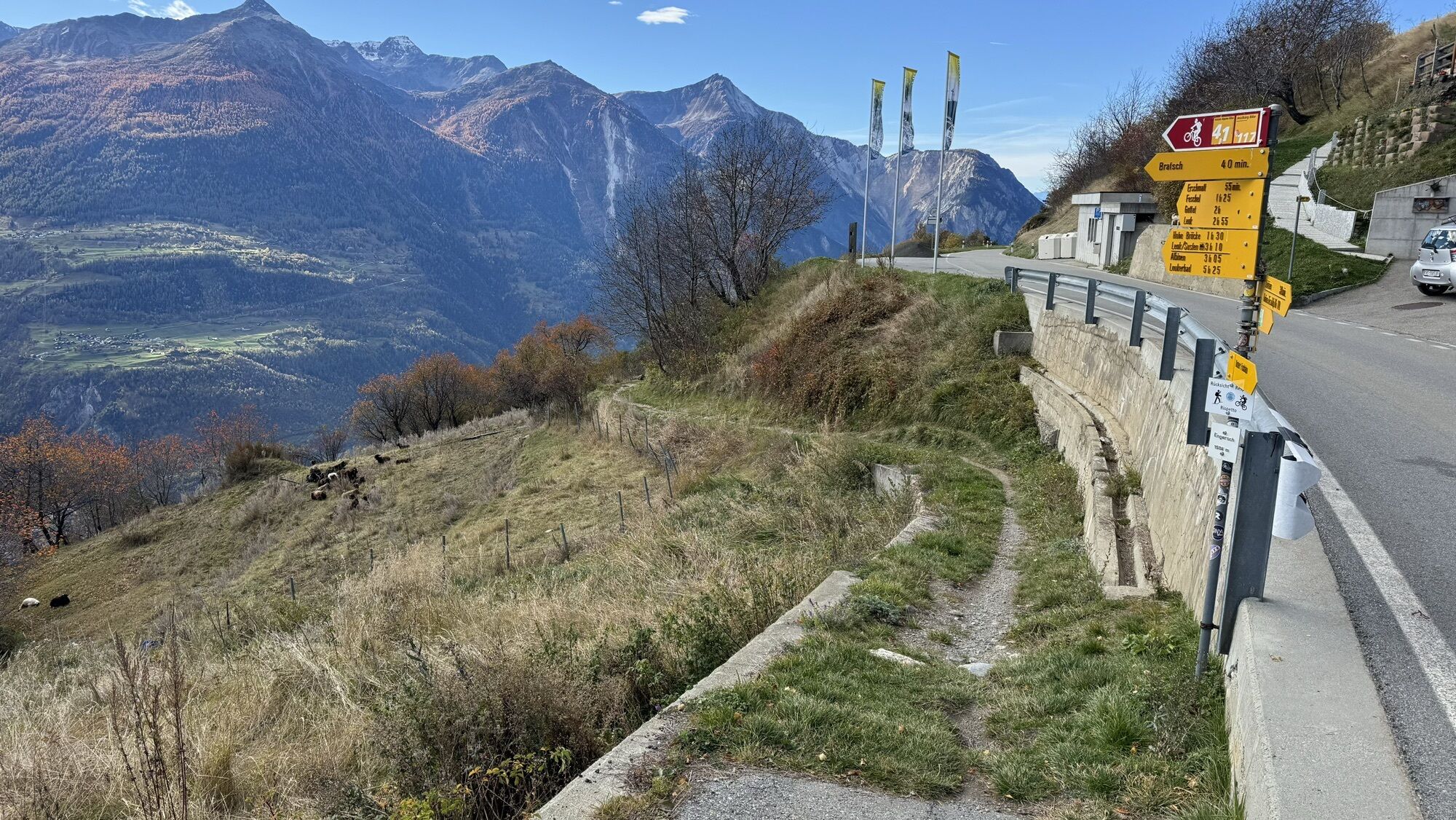
The hike begins in the mountain village Jeizinen at 1500 m above sea level, reachable from Gampel by cable car. After about 20 minutes, you reach the historic little village of Engersch with its narrow main street and charming wooden chalets arranged around it.
Then follows the steep descent towards Erschmatt. In the area of Undri Zälg, you pass the variety garden of the Rye Centre Erschmatt. Old cultivated plants, especially rye, are grown here.
Rye used to be the main cereal cultivated in the Valais mountain villages. Due to its robustness against cold temperatures, it could be grown in Valais up to 2000 meters altitude. Rye was used to prepare Valais rye bread. The rye bread was usually baked in large village ovens that were fired up two to three times a year. The typical bread could be stored for several months.
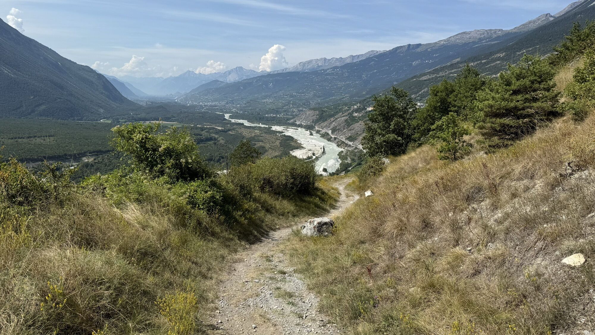
Again, a steep descent follows to the Feschelschlucht, whose "High Bridge" spans the Feschelju about 100 meters lower. The 16th-century bridge has a similar legendary story as its counterpart in the Schöllenenschlucht and is also called the Devil's Bridge.
Via Obere Lichten, you reach Brentjong above Leuk, mainly known for its satellite ground station, which accordingly stands out. In the 1970s, the station was considered a technical marvel. After it was sold to a US company, suspicions arose that it was used for espionage. Besides the current owner from Germany, the Swiss federal government also operates intelligence activities here.
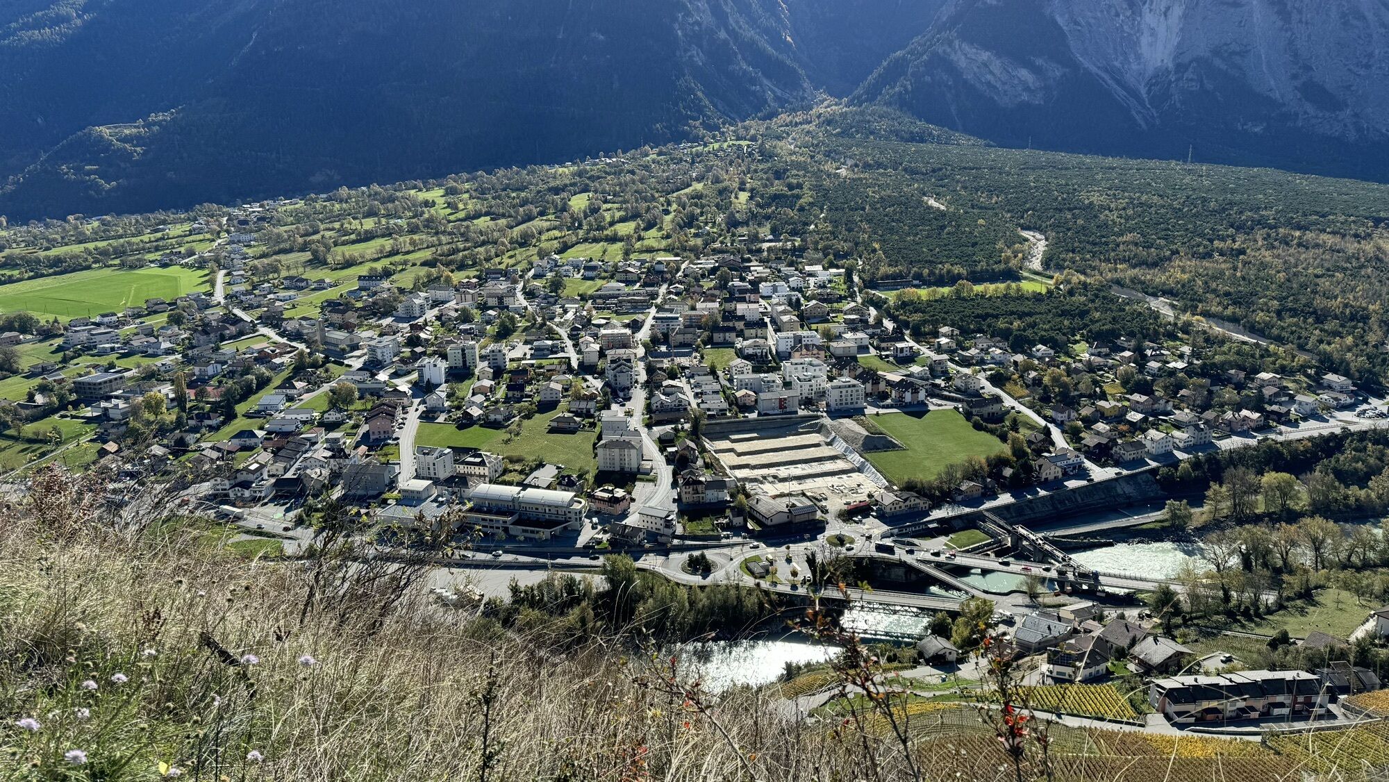
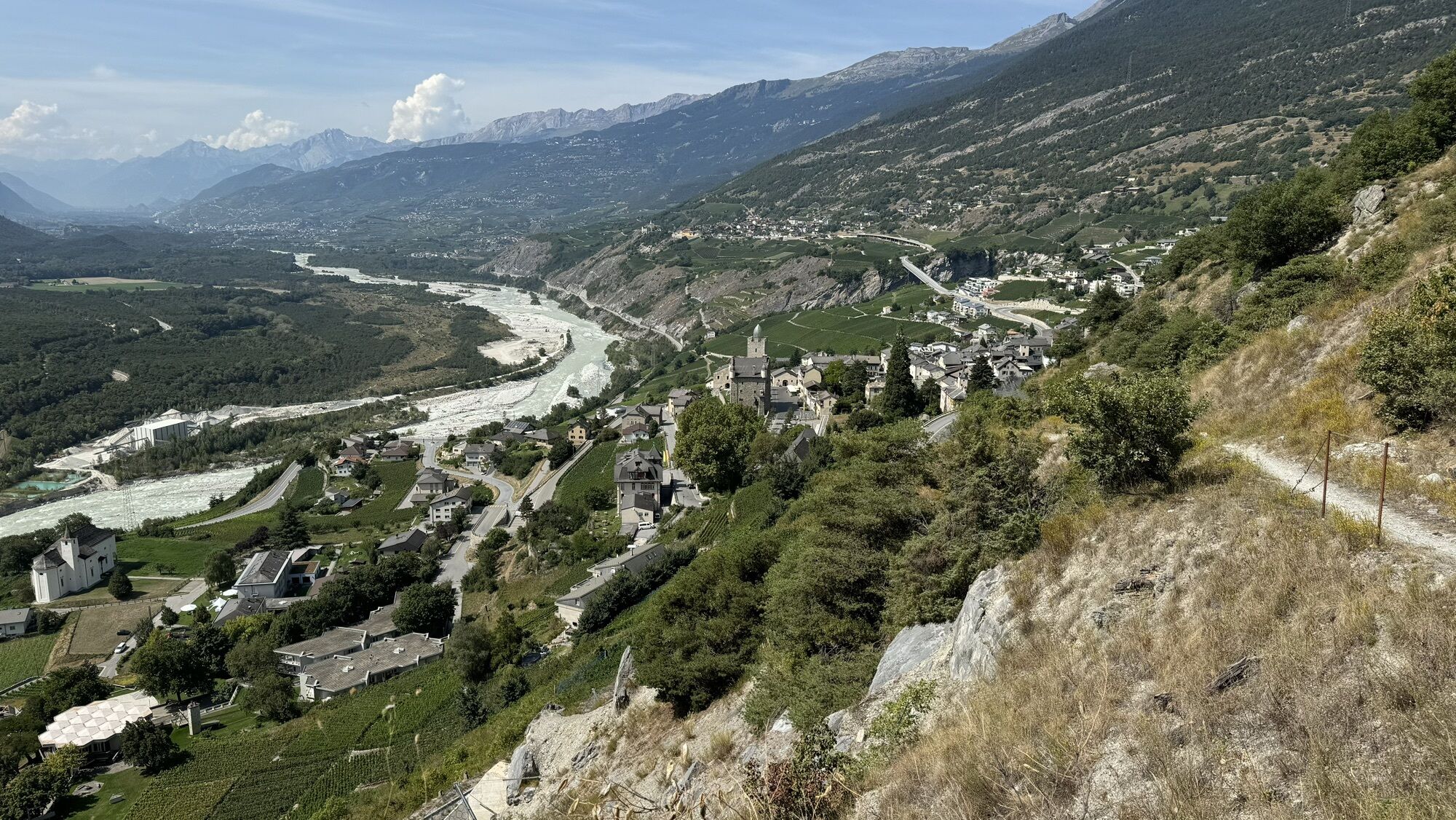
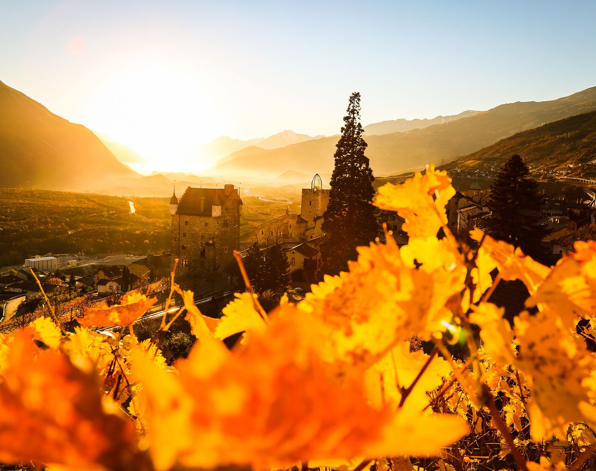
At the end of the hike, you descend along vineyards into the historic small town of Leuk. Besides the charming village center, a visit to the castle restored by the star architect Mario Botta is worthwhile.
Highlights of the hike:
Village of Erschmatt with Rye Centre and numerous activities around Valais rye bread. High Bridge or Devil's Bridge spanning the Feschelbach between Erschmatt and Leuk. Historic small town Leuk and the satellite ground station above.
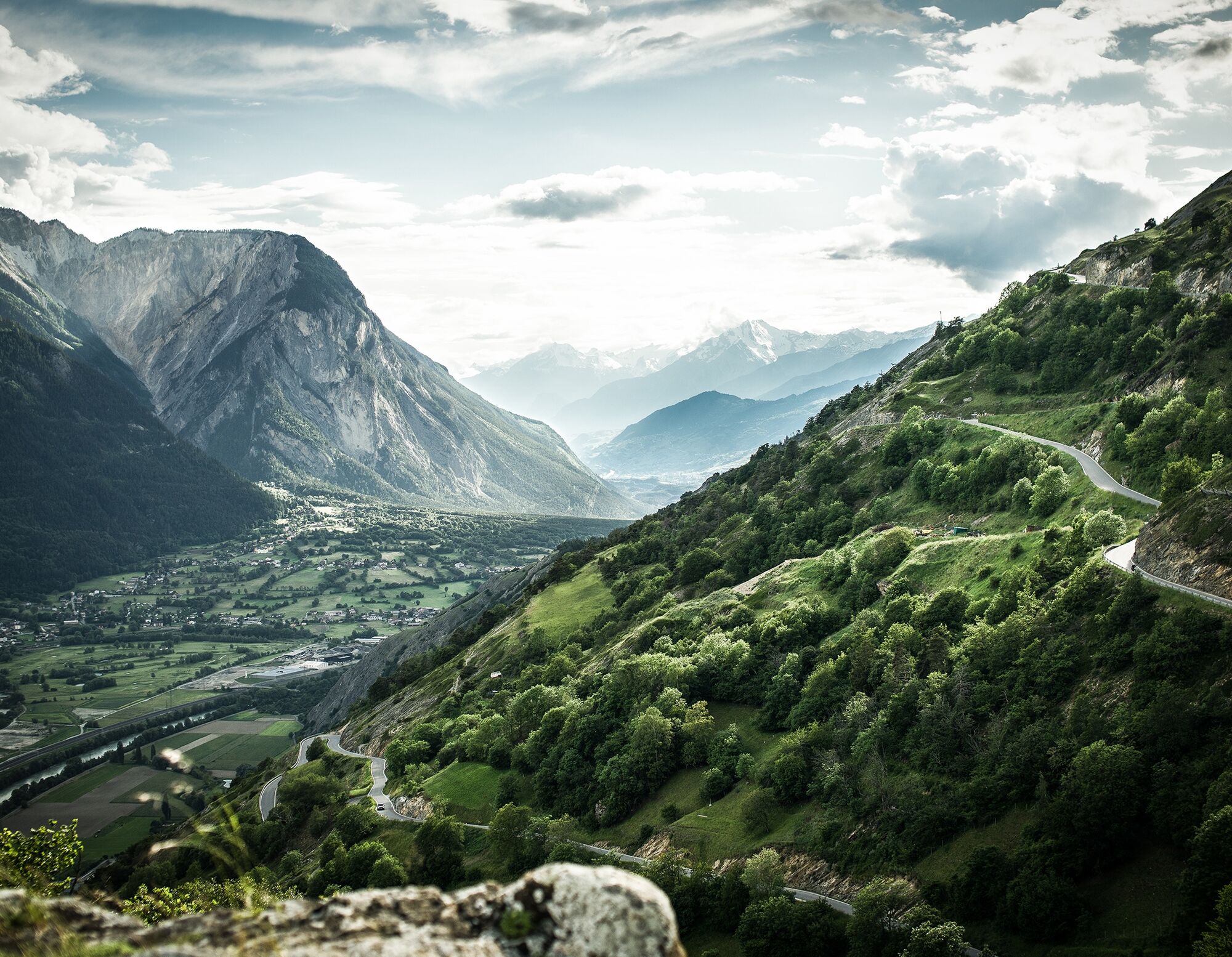
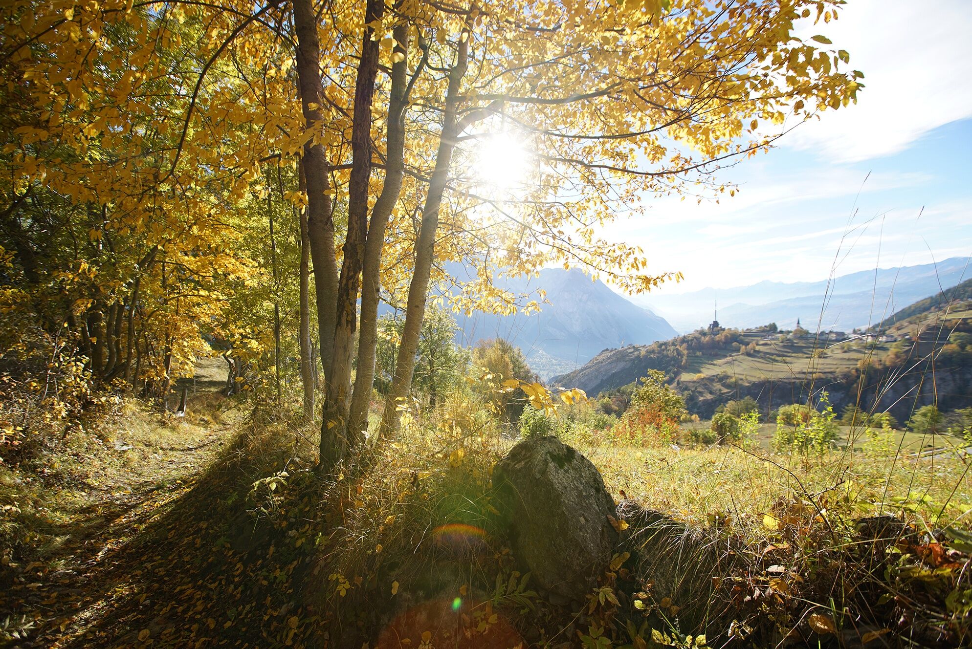
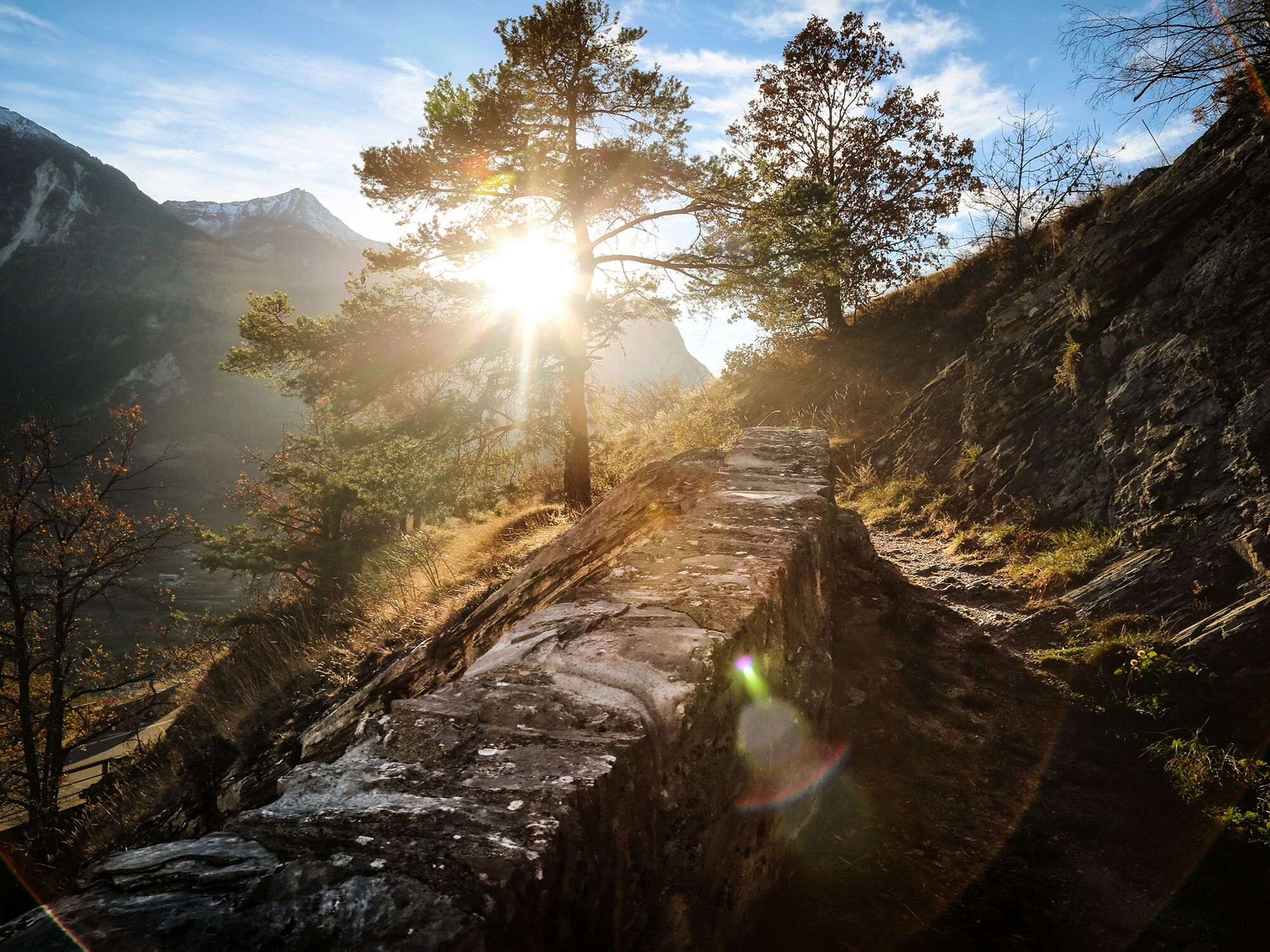
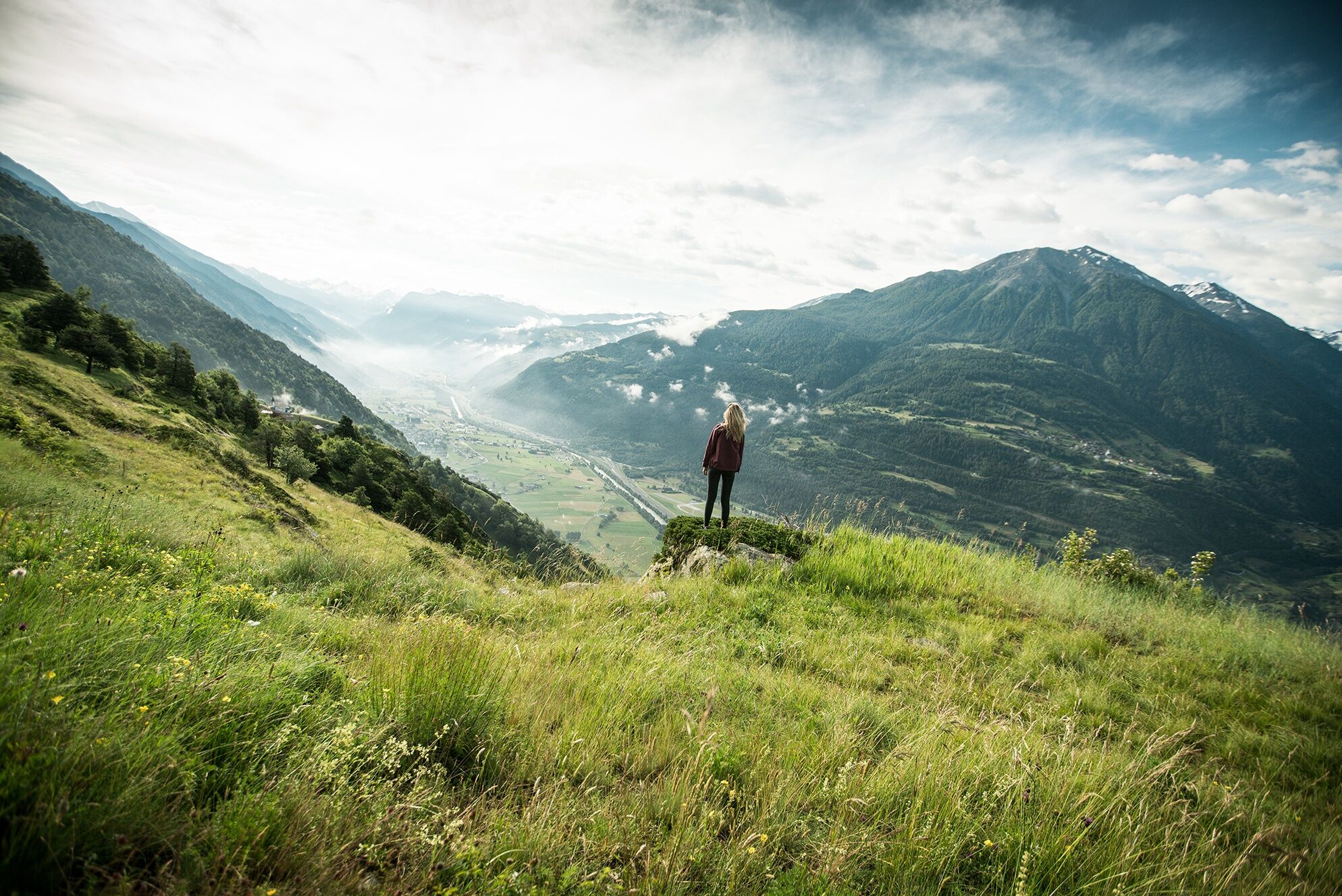

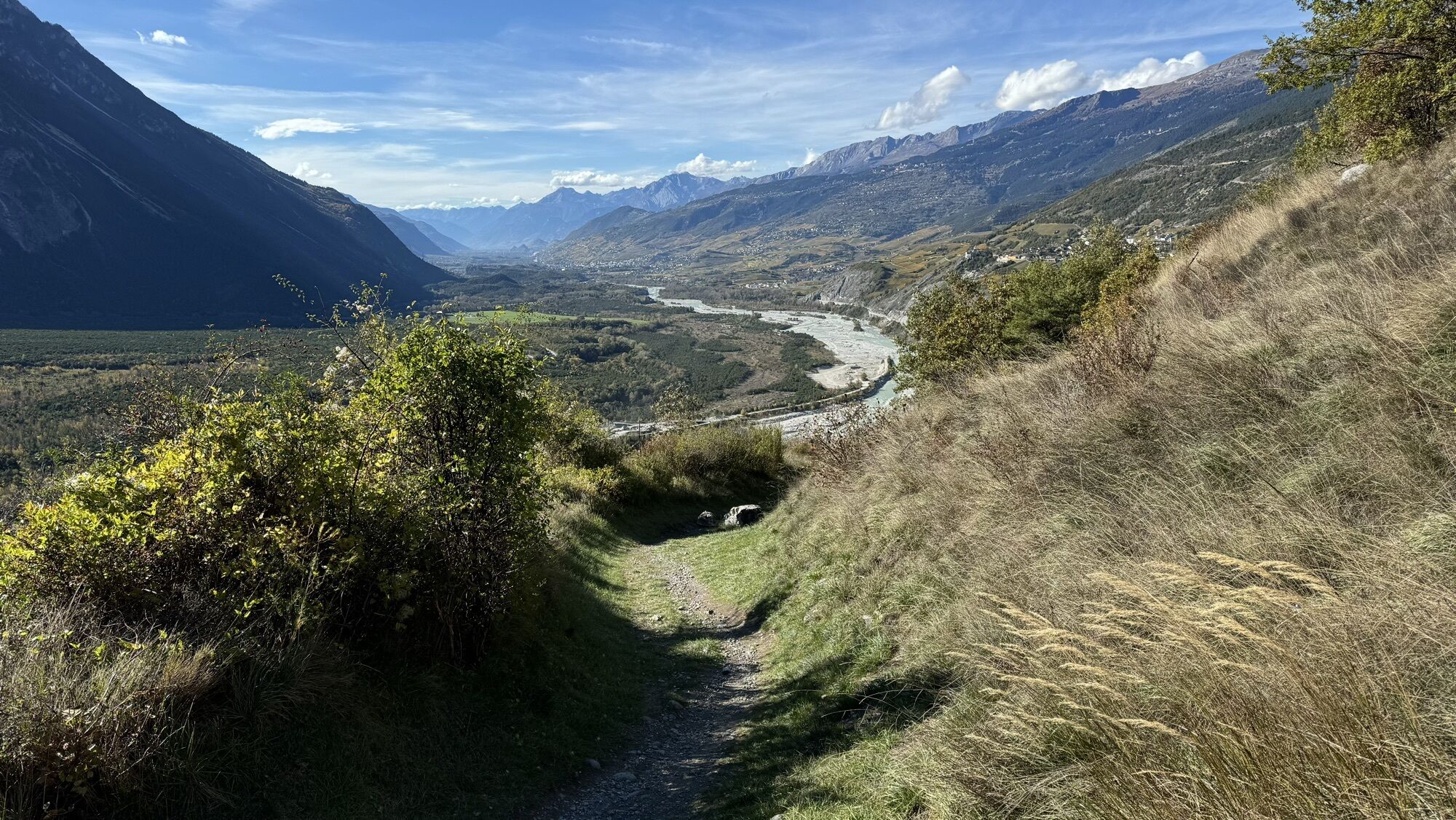
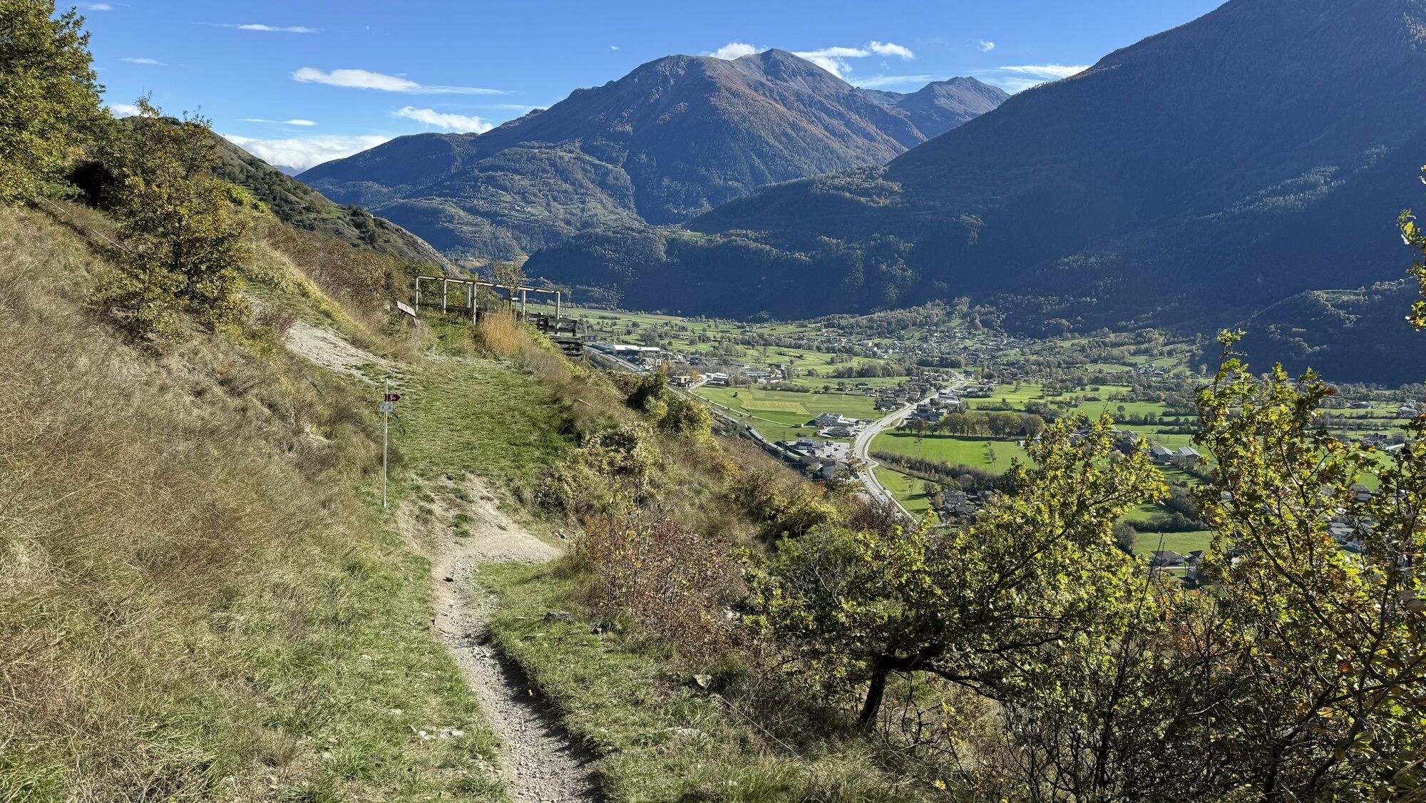
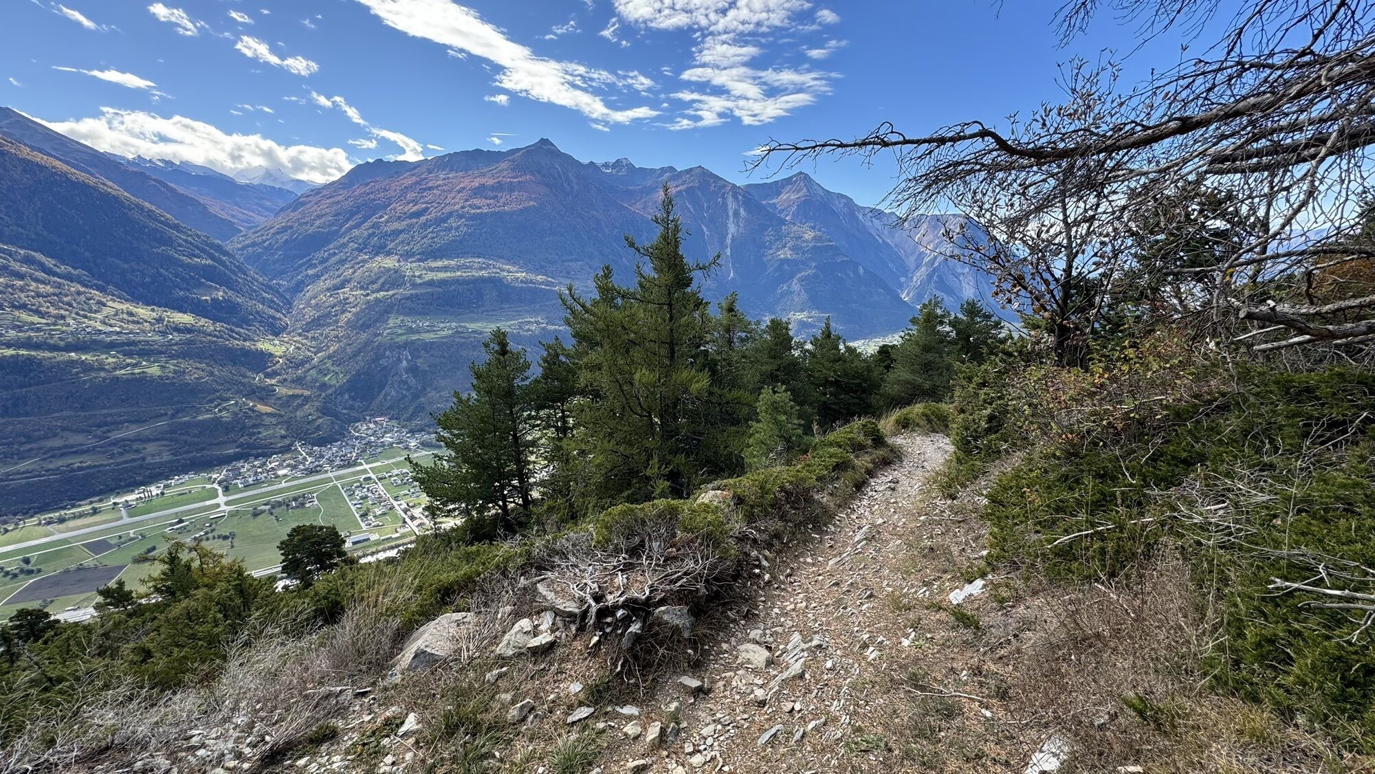
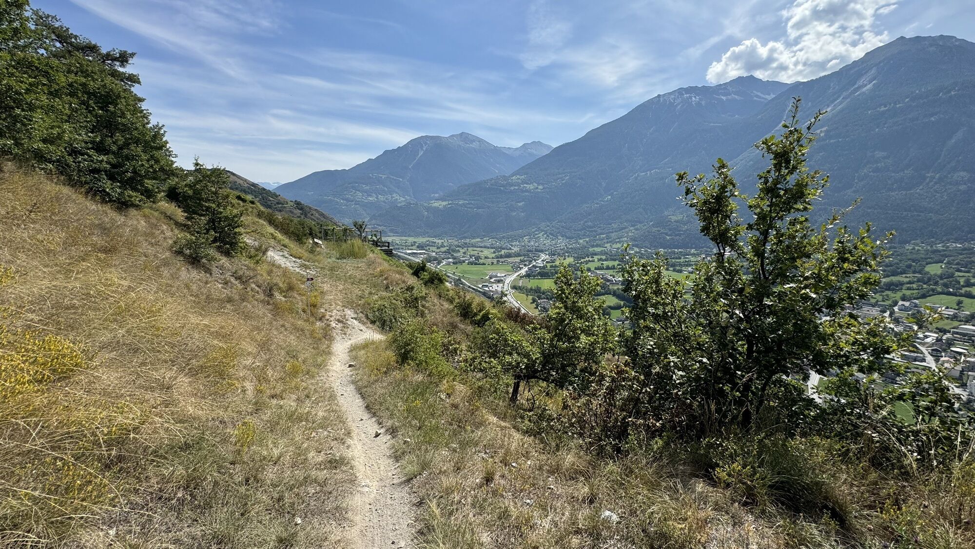
After starting in Jeizinen, the route leads via the little village of Engersch to Erschmatt. In the area of Undri Zälg, you pass one of the variety gardens of the Rye Centre Erschmatt and then cross the mountain village before descending to the High Bridge over the Feschelschlucht.
Via Obere Lichten, you reach the satellite ground station in Brentjong. At the end of the hike, you descend through the steep vineyards into the small town of Leuk. The hike ends at Leuk train station, located below the town on the banks of the Rhone.
Tak
We recommend:
Good footwear Weather-dependent clothing: always carry a waterproof vest Headwear Sun protection Water bottle Picnic Camera Binoculars (optional) Hiking poles (optional) Printout of the hiking trail (click "Print" to download)For certain hikes:
SwimsuitThe mountains, a place of joy to share and respect. The mountain world is a place to meet and experience unforgettable moments together – whether by bike or on foot. To ensure all users can benefit, it is essential to share this space with respect for nature and agriculture. Respectful behavior allows everyone to enjoy their leisure activities under the best conditions. Inform yourself about recommendations and rules. Assess your own skills and fitness level well. Using the various routes is always at your own risk.
For all hikes:
Carry a map with you. Download the complete description of the hiking trail with a large-scale map by clicking "Print" at the top right of the page. Use only marked hiking trails and observe all signs and instructions—for your own safety, to protect grazing animals, and out of respect for wildlife. Close gates after passing through. Behave considerately towards other trail users, plants, and animals.For mountain hikes:
Carry additional sun protection. UV rays at high altitudes can be very strong, even in cloudy weather. Plan your hike carefully: consider the required fitness level of all participants, weather forecasts, and seasonal dependencies. Weather conditions in the mountains can change very quickly and without warning. Appropriate clothing and sufficient provisions (food and drink) are very important. In unstable weather, it is better to turn back early.For high alpine hikes:
Inform your family about your hiking route. Avoid going alone if possible. Do not venture onto glaciers without a mountain guide. Observe warning signs indicating dangers at riverbanks, along waterways below dams and reservoirs: water levels can rise quickly and without warning.Coming from Sion or Brig: motorway A9 or cantonal road 9 to Gampel.
Coming from Bern: motorway A6 to Spiez, then cantonal road towards Kandersteg. Use the car shuttle from Kandersteg to Goppenstein. Then cantonal road to Gampel.
Regular regional trains along the Simplon line to Gampel. From there either on foot or by bus to the valley station of the Gampel – Jeizinen cable car.
Parking at the valley station of the Gampel-Jeizinen gondola. Follow the local parking guidance system in Gampel.
Besides the variety garden, the Rye Centre offers a range of activities around rye: for example, the baking experience where you can prepare, bake, and take home your own rye bread. You can also order old rye varieties from Erschmatt and cultivate them in your own garden.
Uzyskaj wgląd Zawsze na żywo z ponad 9 500 kamer internetowych. bergfex Jako użytkownik Pro, możesz teraz zobaczyć odpowiednie kamery internetowe dla wielu wycieczek w aplikacji wycieczki od. Pozwala to na bezpośredni podgląd aktualnych warunków. Popularne wycieczki w okolicy
- 4,0
Rundwanderung Lötschenpasshütte
średniWędrówka 12,2 km - 5,0
Moosalp Panoramaweg
światłoWędrówka 6,36 km - 5,0
Lauchernalp-Lötschenpass-Selden
ciężkiWędrówka 12,0 km - 4,7
Leukerbad - Gemmipass - Lämmerenhütte
średniWędrówka 9,49 km - 5,0
Bella-Tola
średniWycieczka wysokogórska 6,72 km - 5,0
Restipass
Wędrówka 14,5 km - 4,0
Gemmipass - Lämmerenhütte - Rote Totz Lücke - Daubensee - Gemmipass
średniWędrówka 13,7 km - 5,0
Torrenthorn- Rigi der Walliser Alpen
Wędrówka 2,99 km Gratweg
Via ferrata 5,16 km- 5,0
Klettersteig Daubenhorn
ciężkiVia ferrata 5,34 km
Wędrówki i tropienie


Nie przegap ofert i inspiracji na następne wakacje
Twój adres e-mail została dodana do listy mailingowej.





