







Lapis de Zanfleuron
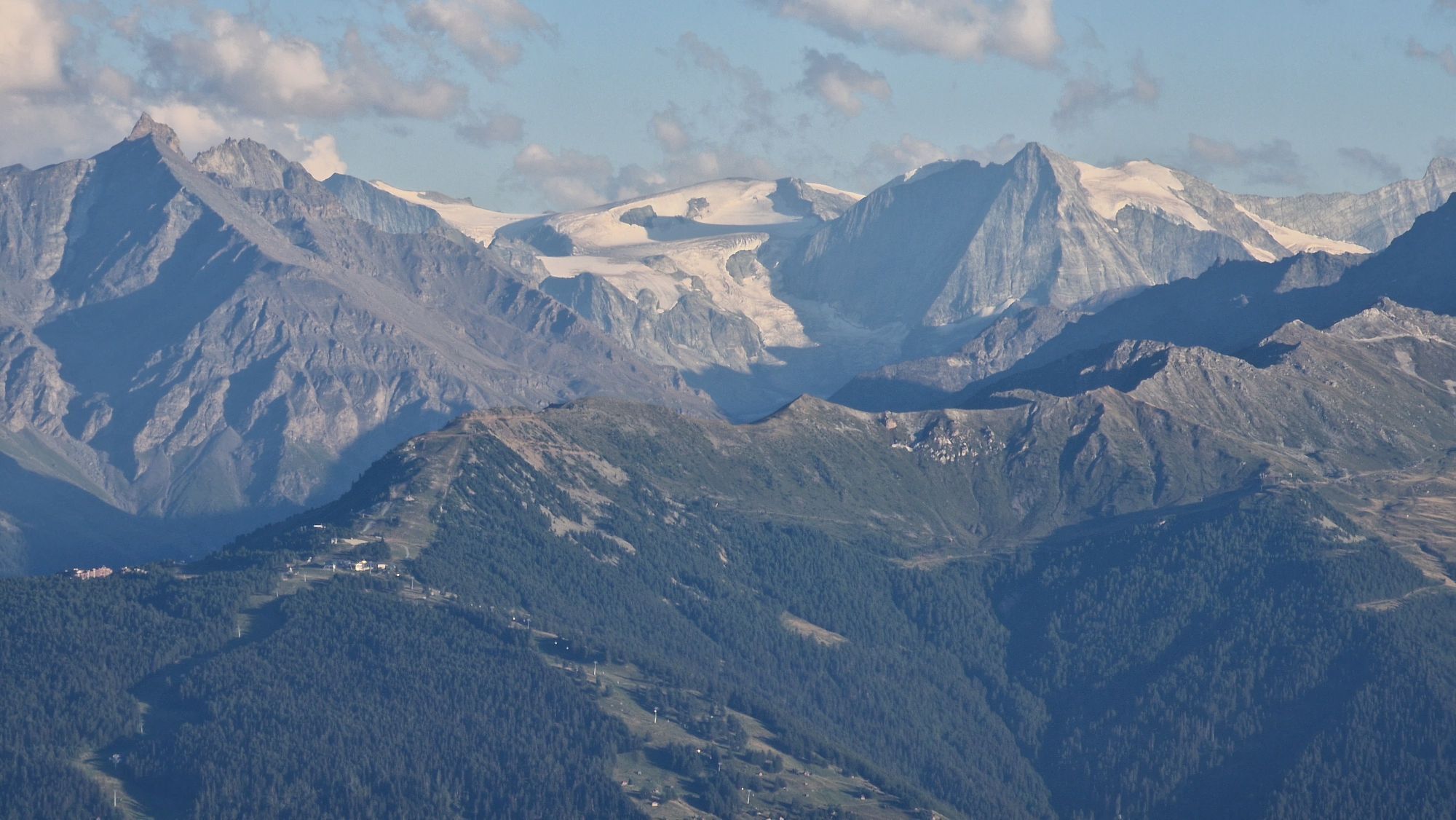
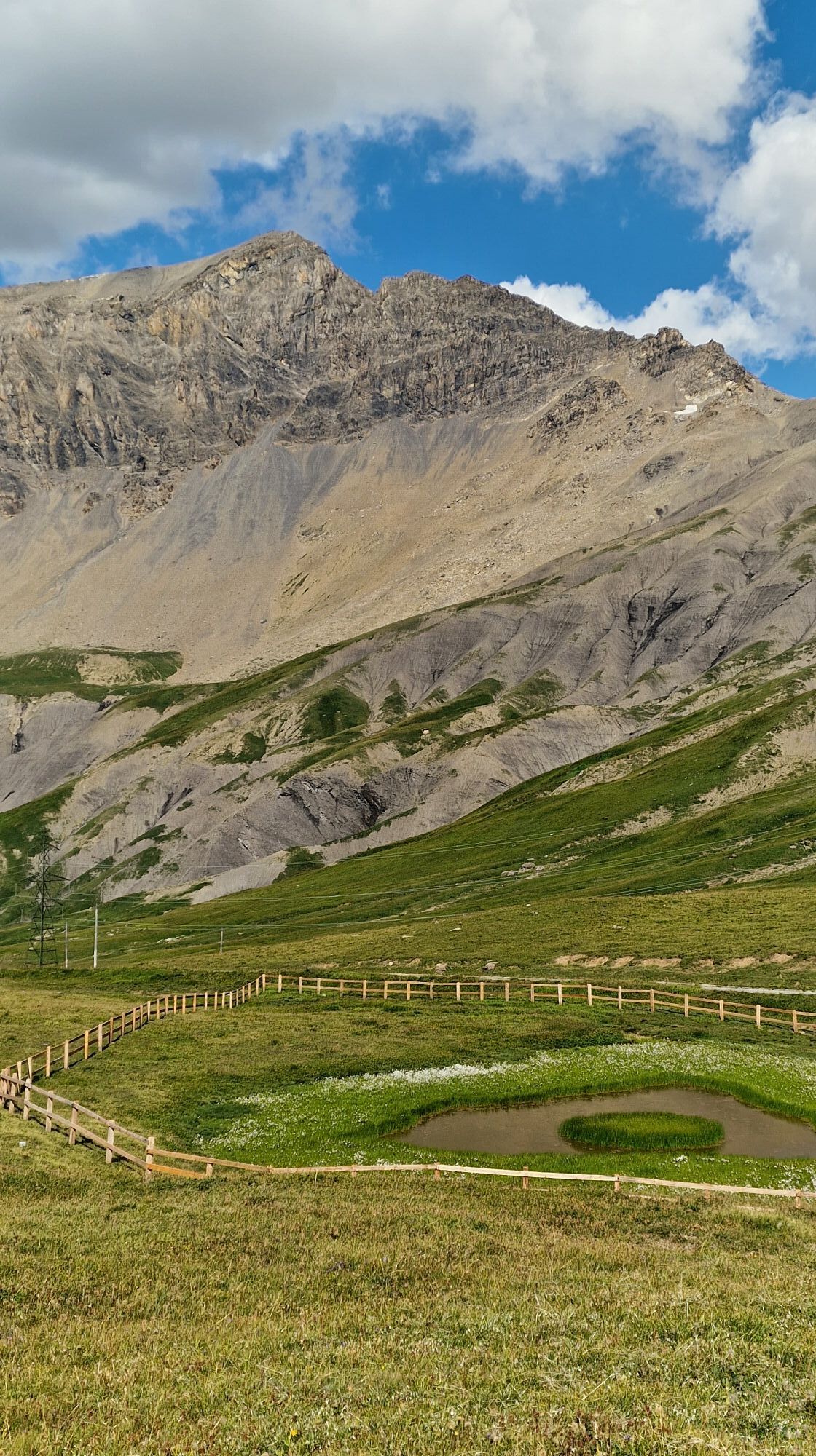
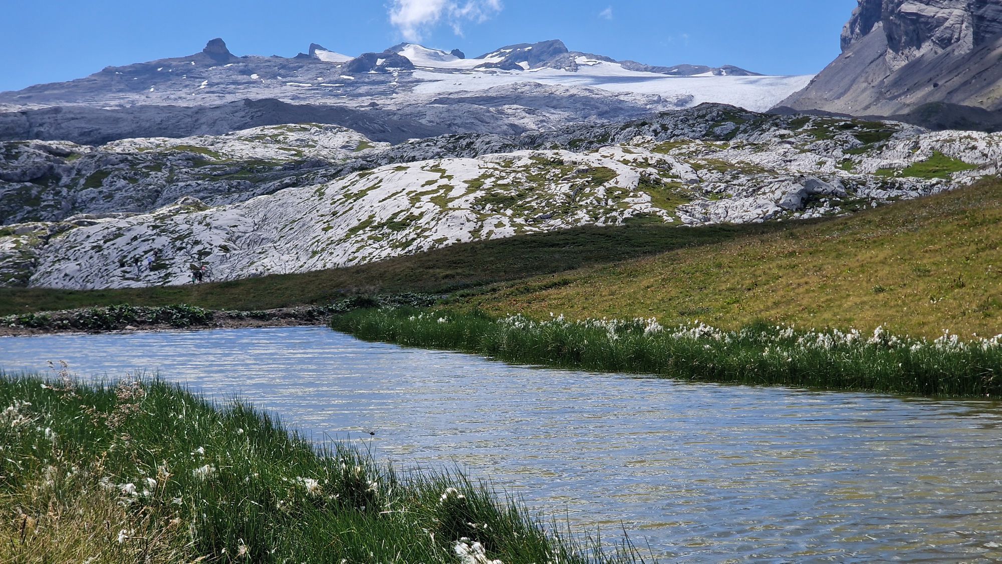
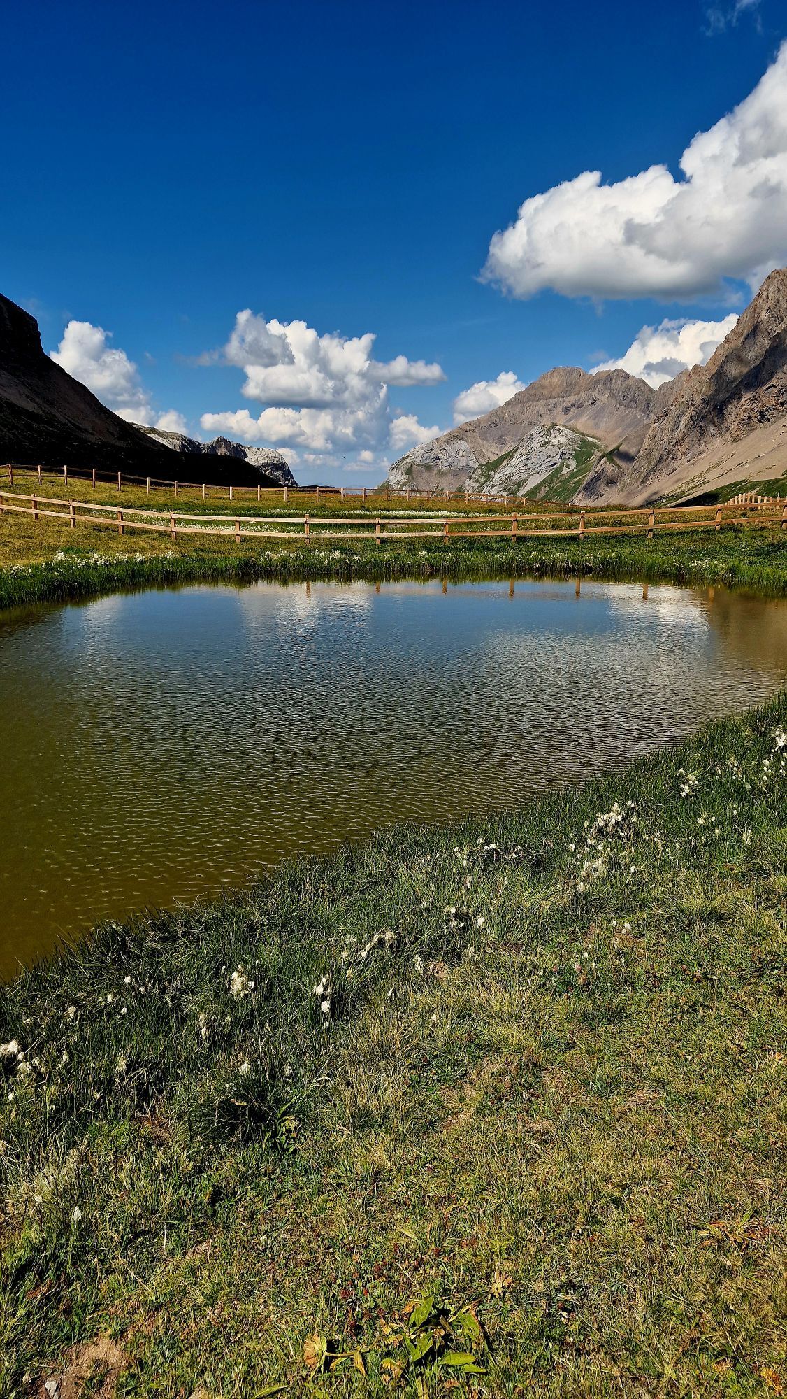
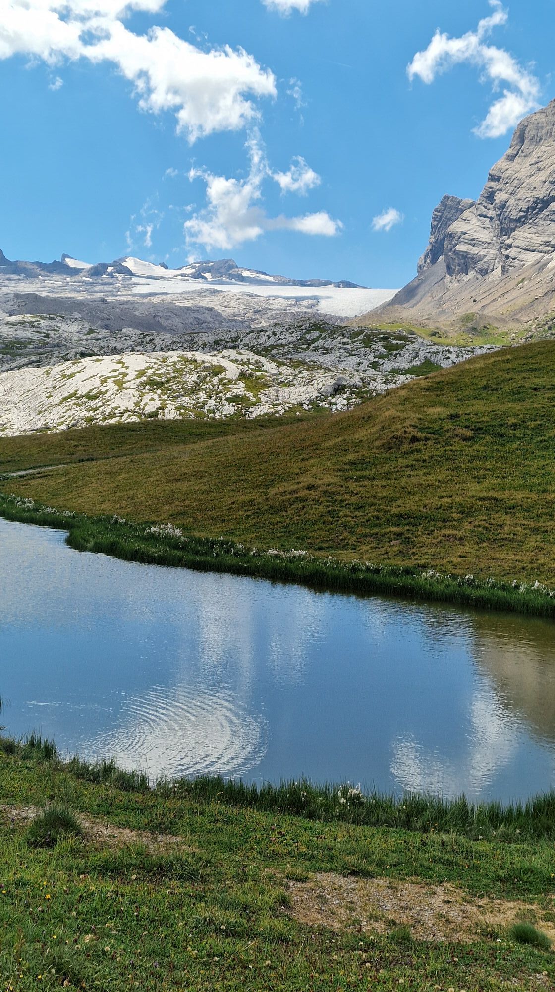
The “Lapis of Zanfleuron” are a collection of rock formations below the Zanfleuron Glacier. The power of the glacier and the weather have shaped this otherworldly landscape. The upper part, until recently...
The circular hike leads around this moon landscape in a wide loop. The path begins in the hamlet of Zanfleuron heading towards the glacier, up to the hut of Prarochet (2,556 m), built by the Savièse Ski Club. From mid-June to mid-September this hut is the ideal place to stop and enjoy a refreshment. From there you can enjoy views of the ski lifts of Diablerets, the impressive rock formation “Quille du Diable,” and several 4000-meter peaks of Valais.
The path passes the northern side of the Lapis de Zanfleuron and then goes to the Sanetsch Pass.
Hiking highlights:
Spectacular and scenic ride from the Rhone Valley to the Sanetsch Pass (by PostBus or private vehicle). Les Lapis de Zanfleuron – karst landscape with sculptural rock formations. Cabane de Prarochet – mountain hut near the Zanfleuron Glacier.
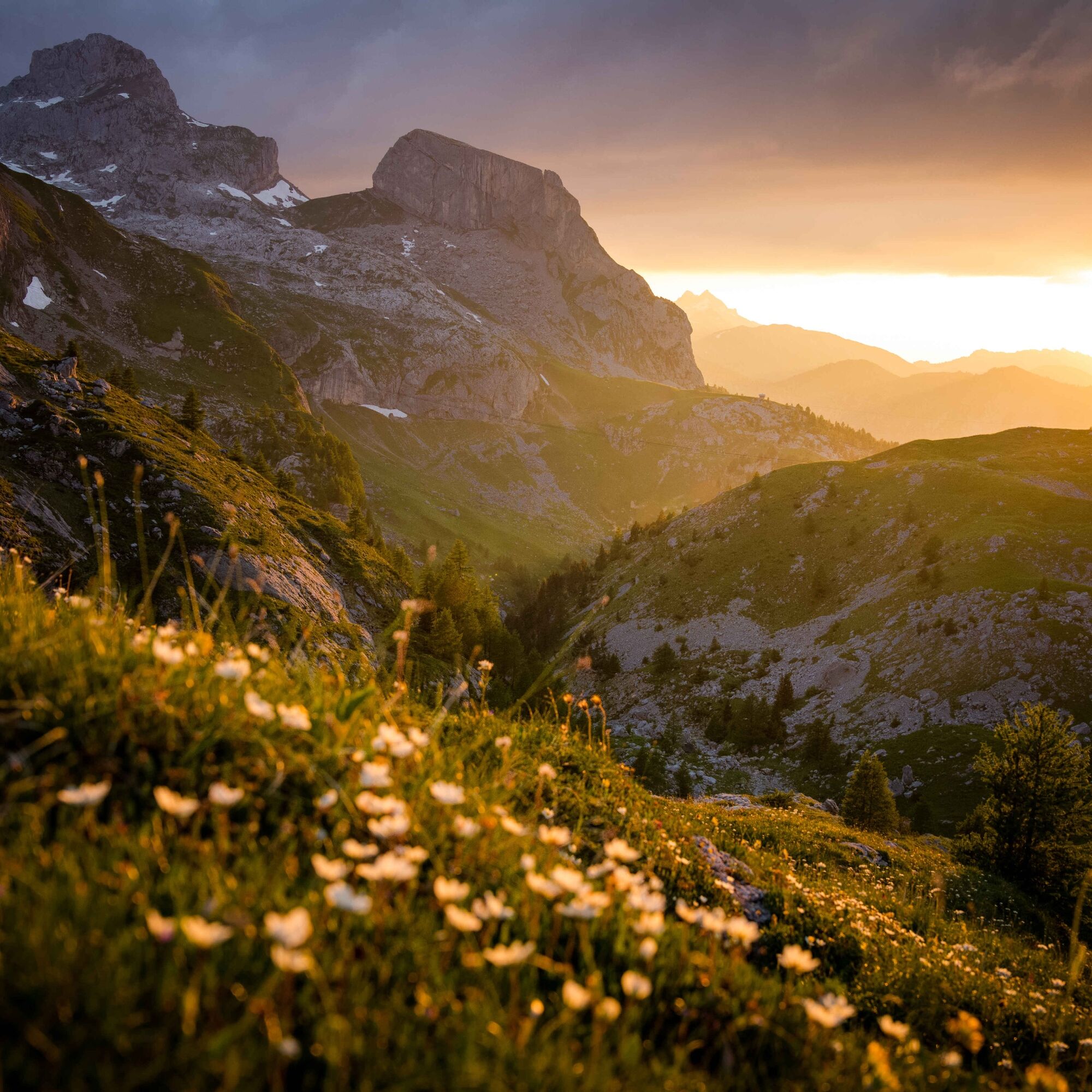



From the hamlet of Zanfleuron, follow the yellow hiking trail signs to the Cabane de Prarochet. The second part of the path is then marked by cairns or painted on the stones. From the hut, it is easy to lose the way, so pay attention to the markings on the stones, which lead northeast to the Sanetsch Pass.
Tak
For certain hikes:
SwimsuitFor all hikes:
Carry a map with you. Download the complete description of the hiking trail with a large-scale map by clicking "Print" at the top right of the page. Use only marked hiking trails and observe all signposts and instructions – for your own safety, to protect grazing animals, and out of respect for wild animals. Close gates after passing through. Behave considerately towards other trail users, plants and animals.For mountain hikes:
Carry additional sun protection. UV rays at high altitudes can be very strong, even in cloudy weather. Plan your hike carefully: take into account the required fitness level of all participants, weather forecasts and seasonal dependencies. Weather conditions in the mountains can change very quickly and without warning. Appropriate clothing and sufficient provisions (food and drink) are very important. In unstable weather, it is better to turn back early.For high alpine hikes:
Inform your family about your hiking route. Avoid going alone if possible. Do not venture onto glaciers without a mountain guide. Observe warning signs indicating danger at riverbanks, along watercourses below dams and reservoirs: water levels can rise quickly and without warning.Motorway A9 to Sion.
Approach from the west (Martigny): exit 25 (Conthey), then follow signs to Conthey and Sion. After 2.7 km in Pont-de-la-Morge, drive north into the Val de la Morge and follow signs to the Col de Sanetsch.
Approach from the east (Sierre): exit 26 (Sion-Ouest), then follow signs to Sion. After 800 m, turn left towards Conthey. After 2.6 km in Pont-de-la-Morge, drive into the Val de la Morge and follow signs to the Col de Sanetsch.
Regular train connections to Sion. Then PostBus to Chandolin-près-Savièse, transfer to the PostBus to Sanetsch Pass. The PostBuses run once daily (morning outbound trip, afternoon return) and from mid-August only on weekends. Timetables for trains and PostBus can be found on sbb.ch.
Free parking is available at the Sanetsch Pass.
Take binoculars to observe the rare bearded vultures native here.

Kamery internetowe z trasy
Uzyskaj wgląd
Zawsze na żywo z ponad 9 500 kamer internetowych. bergfex Jako użytkownik Pro, możesz teraz zobaczyć odpowiednie kamery internetowe dla wielu wycieczek w aplikacji wycieczki od. Pozwala to na bezpośredni podgląd aktualnych warunków.
Popularne wycieczki w okolicy
-
4,6
From Saillon to the Farinet suspension bridge
średniWędrówka 7,86 km -
5,0
Tour de l'éboulement des Diablerets
światłoWędrówka 6,52 km -
4,0
Tripon - Brac – Ancien Bisse du Torrent Neuf – St. Marguerite – Torrent Neuf – Prafirmin - St. Germain
światłoWędrówka 12,9 km -
4,8
La Palette
światłoWędrówka 9,91 km -
5,0
De Bretaye au Lac des Chavonnes via Vy Boveyre et Conche
światłoWędrówka 5,37 km -
4,6
Les Diablerets- Villars - Gryon
średniNarciarstwo 51,8 km -
5,0
Grand bisse d’Ayent
średniWędrówka 11,7 km -
4,0
Around the Tseuzier Reservoir
światłoWędrówka 4,58 km -
5,0
Loutze
światłoWędrówka zimą 6,83 km -
5,0
Herbstwanderung in den Waadtländer Alpen ??
średniWędrówka 14,3 km
Wędrówki i tropienie


Nie przegap ofert i inspiracji na następne wakacje
Twój adres e-mail została dodana do listy mailingowej.





