







Uisters Tal ("Outer Valley")

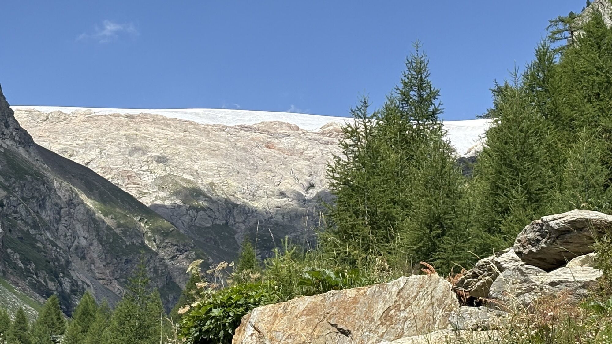
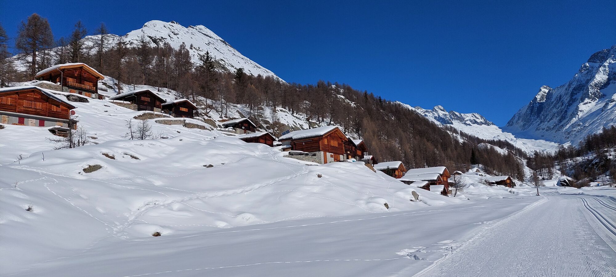
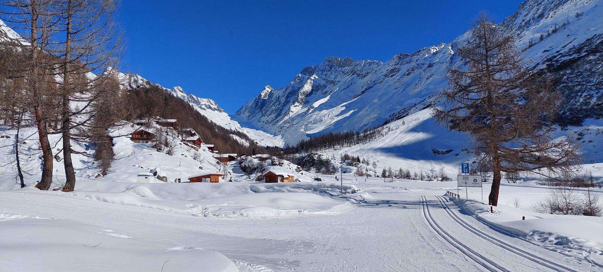
From the Fafleralp, follow the Lötschental Panoramic Trail and, after 500 metres or so, turn right at the stream and walk in a northerly direction into the "Uister Tal" (Outer Valley). At the very end,...
From the Fafleralp, follow the Lötschental Panoramic Trail and, after 500 metres or so, turn right at the stream and walk in a northerly direction into the "Uister Tal" (Outer Valley). At the very end, the path becomes steeper and is more challenging in terms of orientation and fitness. Delicately violet Alpine flax weed grows among the rock debris and at the top melt water flows in small gullies into the turquoise-coloured "Blauseeli" (Blue Lake). Take a seat on the granite rocks, which have been polished by the glacier, and enjoy the view! Return to Fafleralp along the same route.

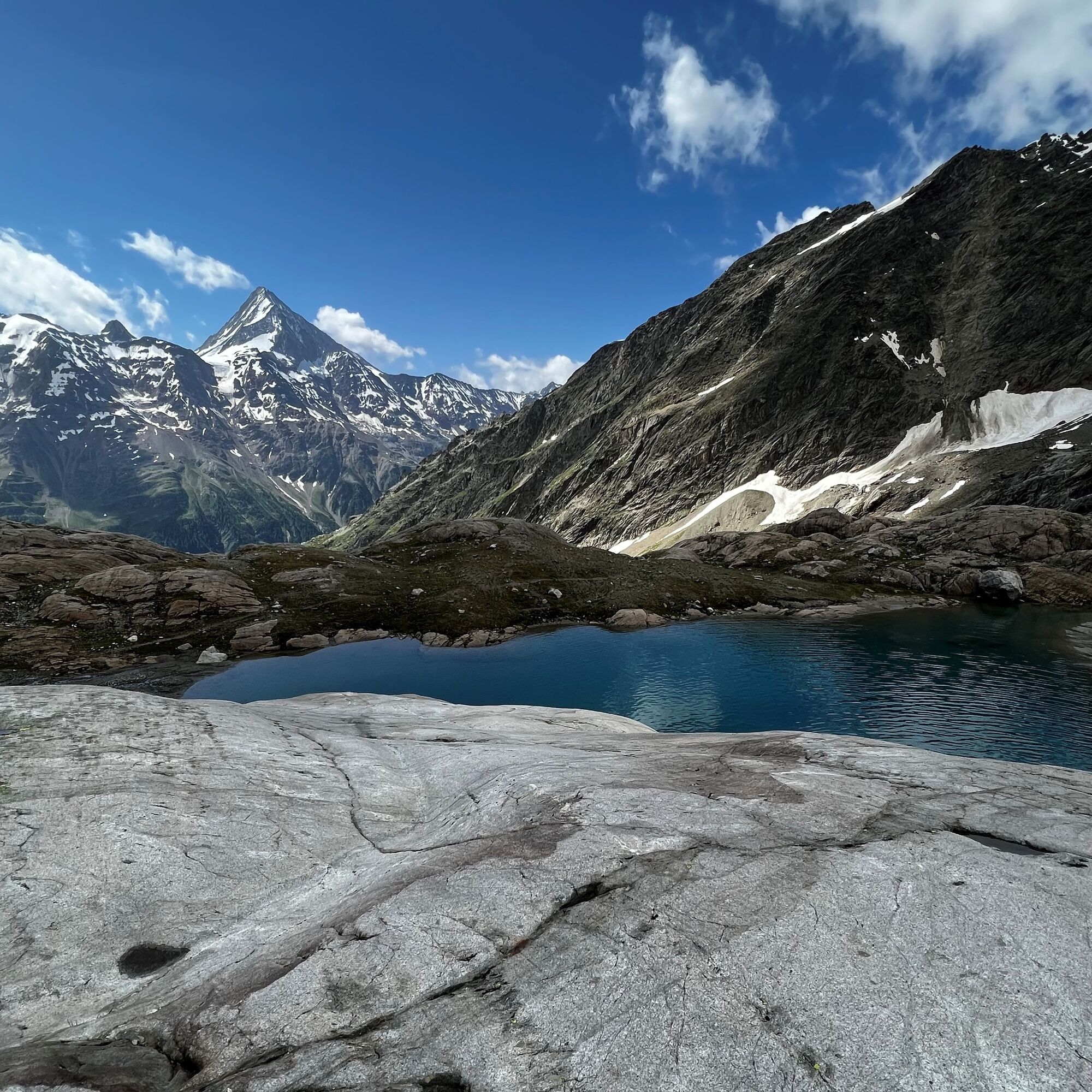

Fafleralp - Uisters Tal - Blauseeli
Tak
Plan your tour carefully
Ensure that you have a full set of appropriate equipment
Never embark on a tour alone
Inform friends, relatives, the mountain hut supervisor or the hotel porter of your proposed tour. Report back when you arrive at your destination.
Keep a constant eye on weather developments
Adhere to the principle: if in doubt, turn back!
Drive into the Lötschental from Goppenstein, past the villages of Ferden, Kippel, Wiler and Blatten to the Fafleralp car park.
The postbus runs every hour from Gampel/Steg or Goppenstein to Fafleralp ("Fafleralp" postbus stop).
You can park your car in the Fafleralp car park (not free).
The 1: 25,000 scale hiking map is your perfect companion for an unforgettable day's hiking in the Lötschental. Available from the Lötschental Tourist Information Office in Wiler or online at www.loetschental.ch/webshop

Popularne wycieczki w okolicy
-
4,3
Rundwanderung Lötschenpasshütte
średniWędrówka 12,2 km -
4,5
Kandersteg - Oeschinensee - Blüemlisalphütte
ciężkiWędrówka 11,8 km -
5,0
BELALP - SPARRHORN
ciężkiWędrówka 11,2 km -
4,8
Lötschentaler Höhenweg
światłoWędrówka 9,17 km -
4,6
Oeschinensee
światłoWędrówka 15,2 km -
4,9
SUSPENSION BRIDGE RIEDERALP - BELALP
średniWędrówka 11,5 km -
5,0
Lauchernalp-Lötschenpass-Selden
ciężkiWędrówka 12,0 km -
4,2
Oeshinensee
światłoWycieczki górskie 16,4 km -
4,5
Berghaus Oeschinensee - Berghotel Oeschinensee - Reformierte Kirche - Kandersteg
światłodługodystansowy szlak pieszy 4,64 km -
5,0
Via ferrata Mürren
średniVia ferrata 2,20 km
Wędrówki i tropienie


Nie przegap ofert i inspiracji na następne wakacje
Twój adres e-mail została dodana do listy mailingowej.





