







Rottenweg
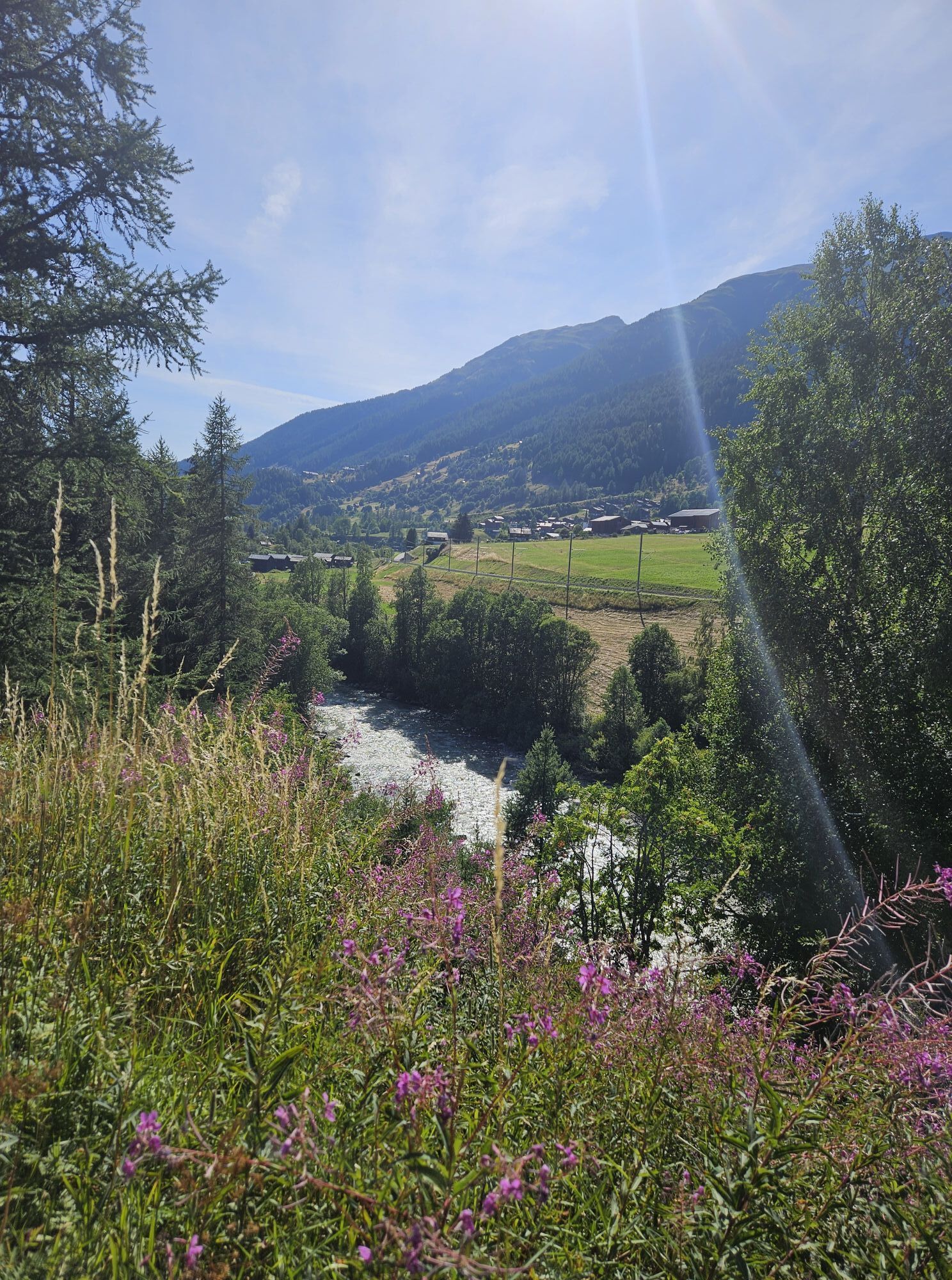
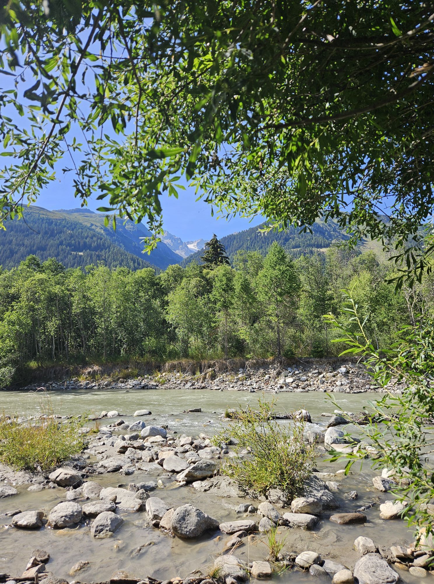
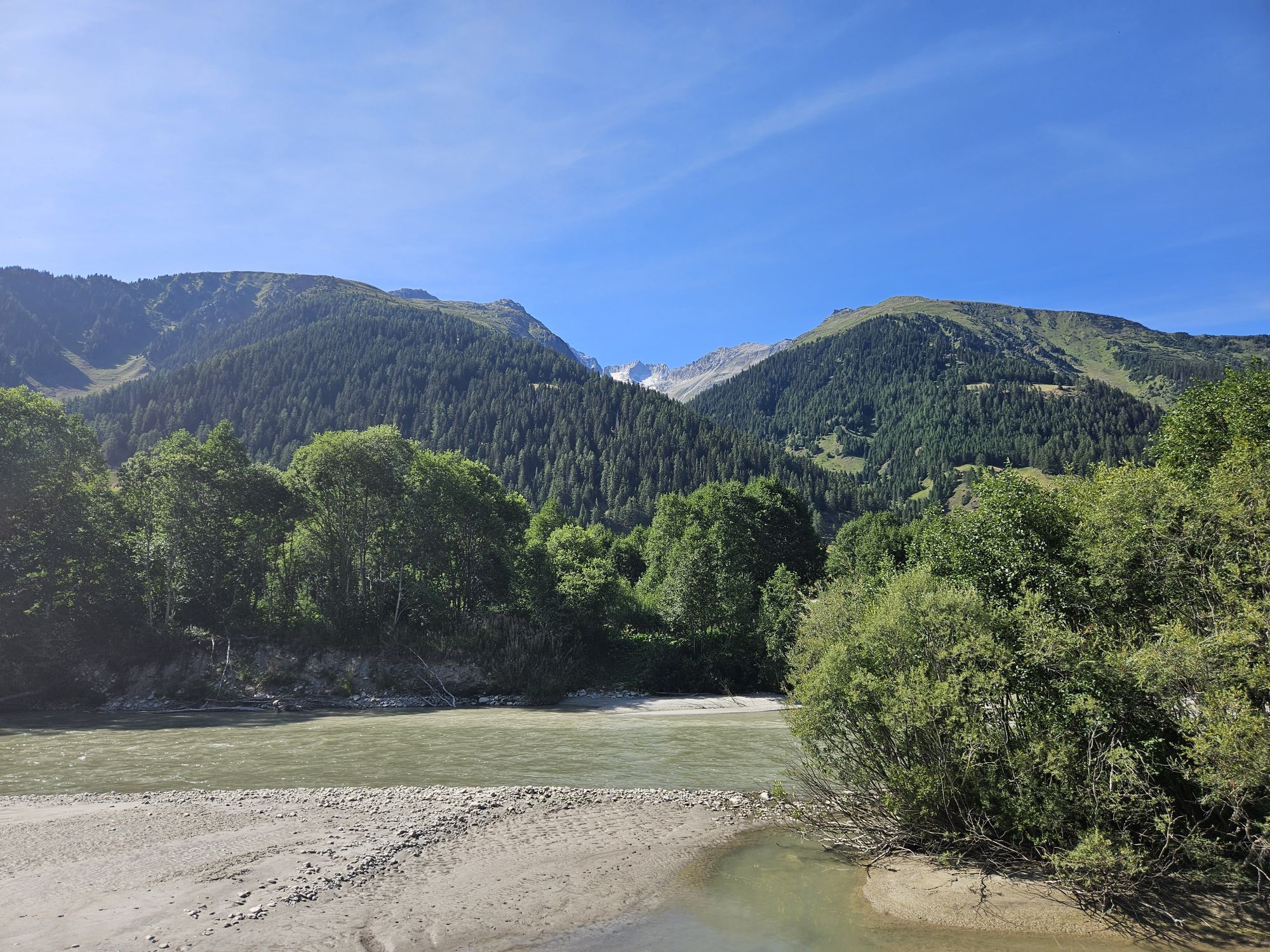
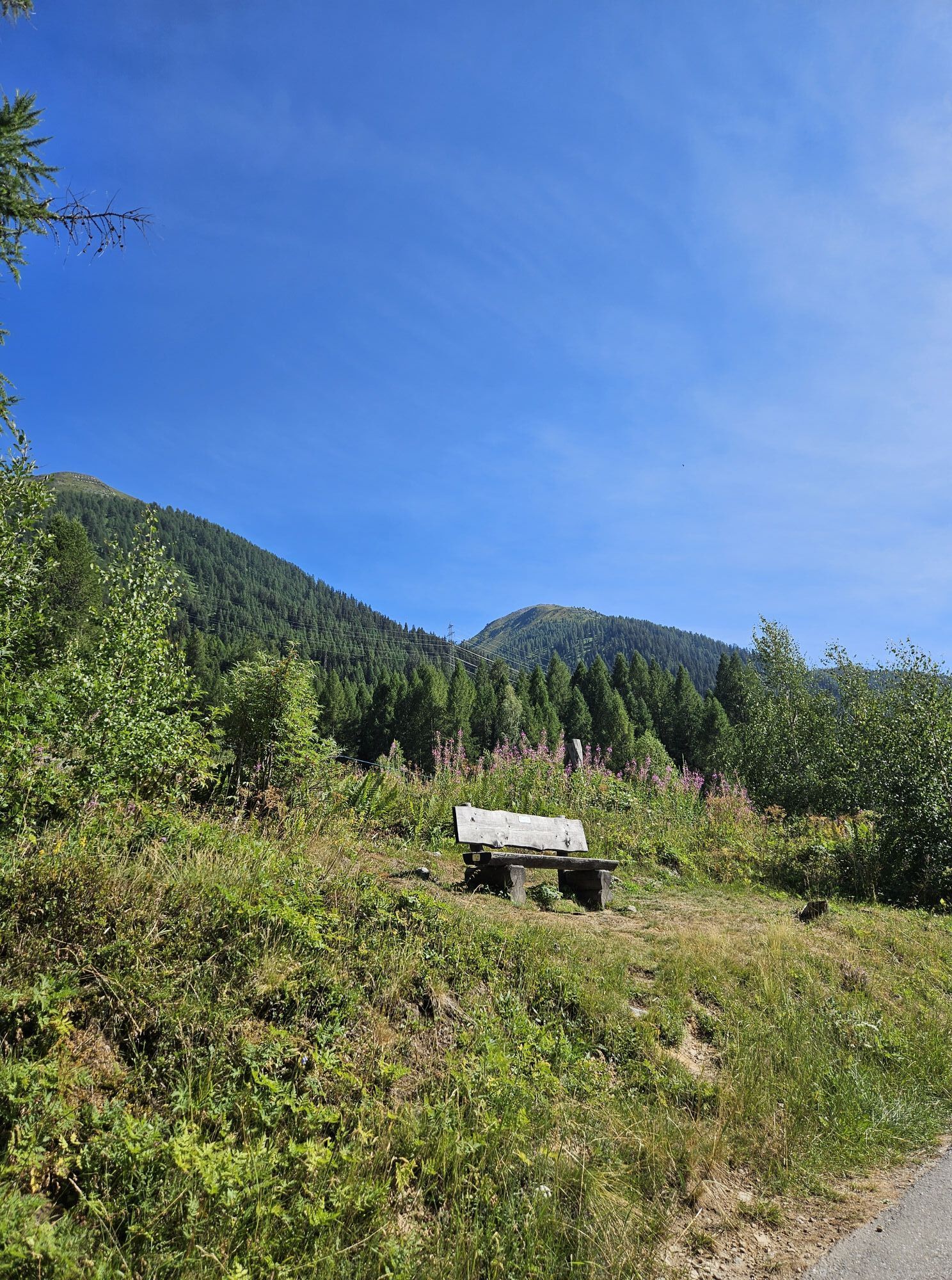
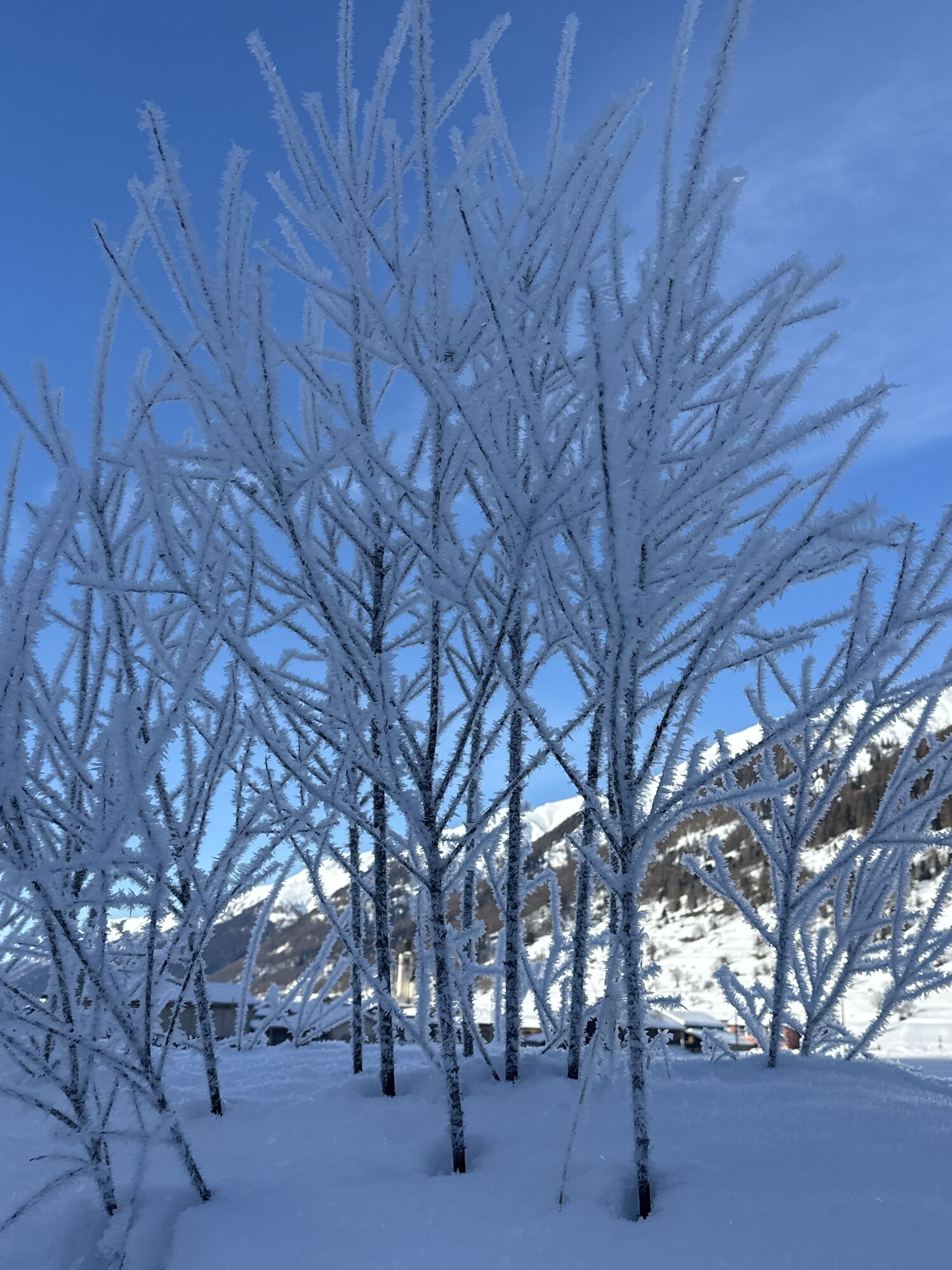
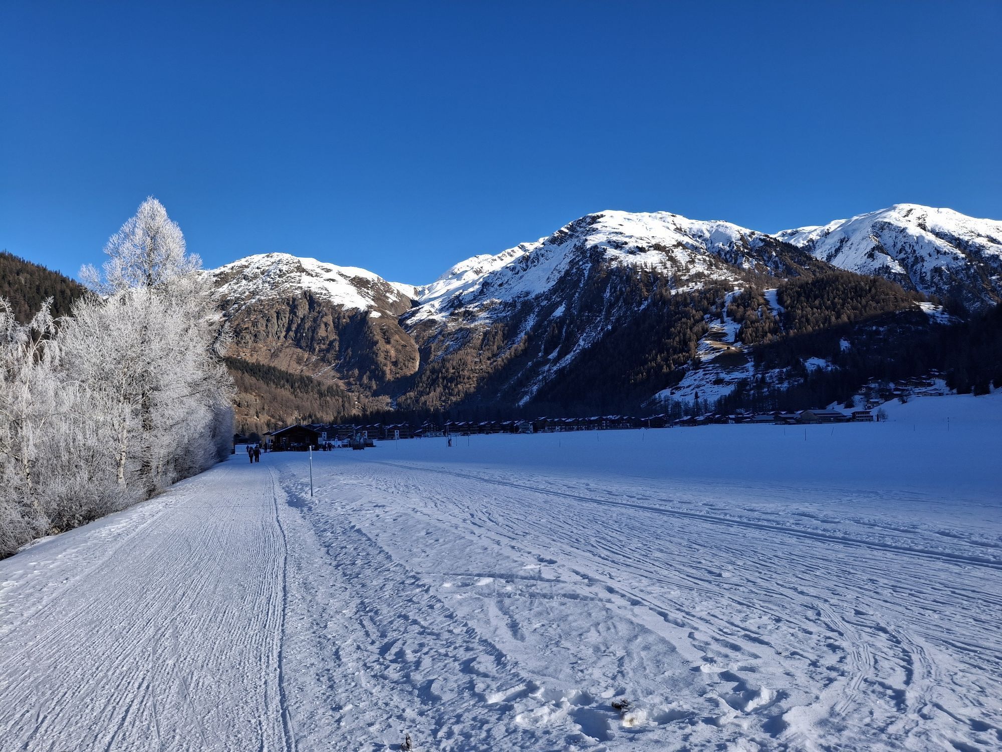
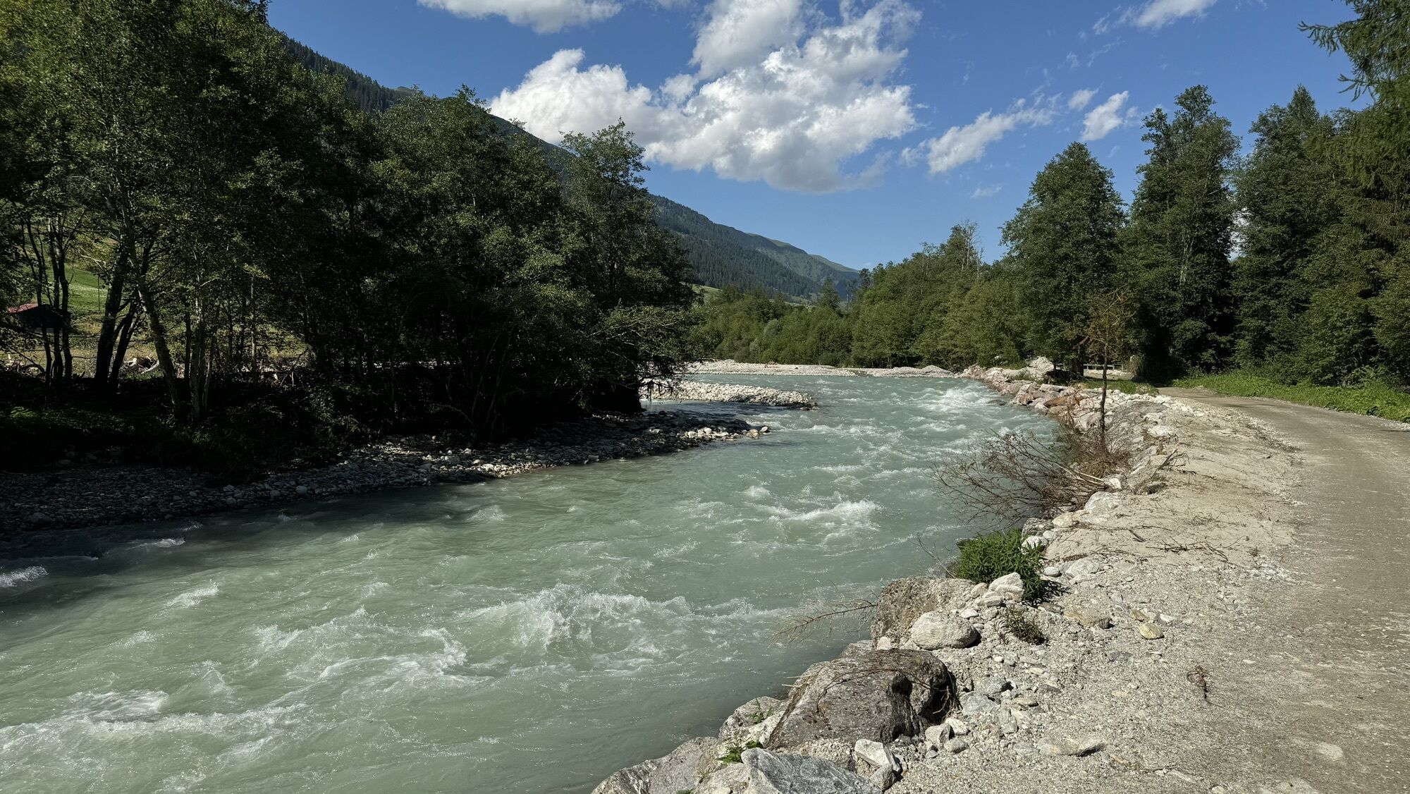
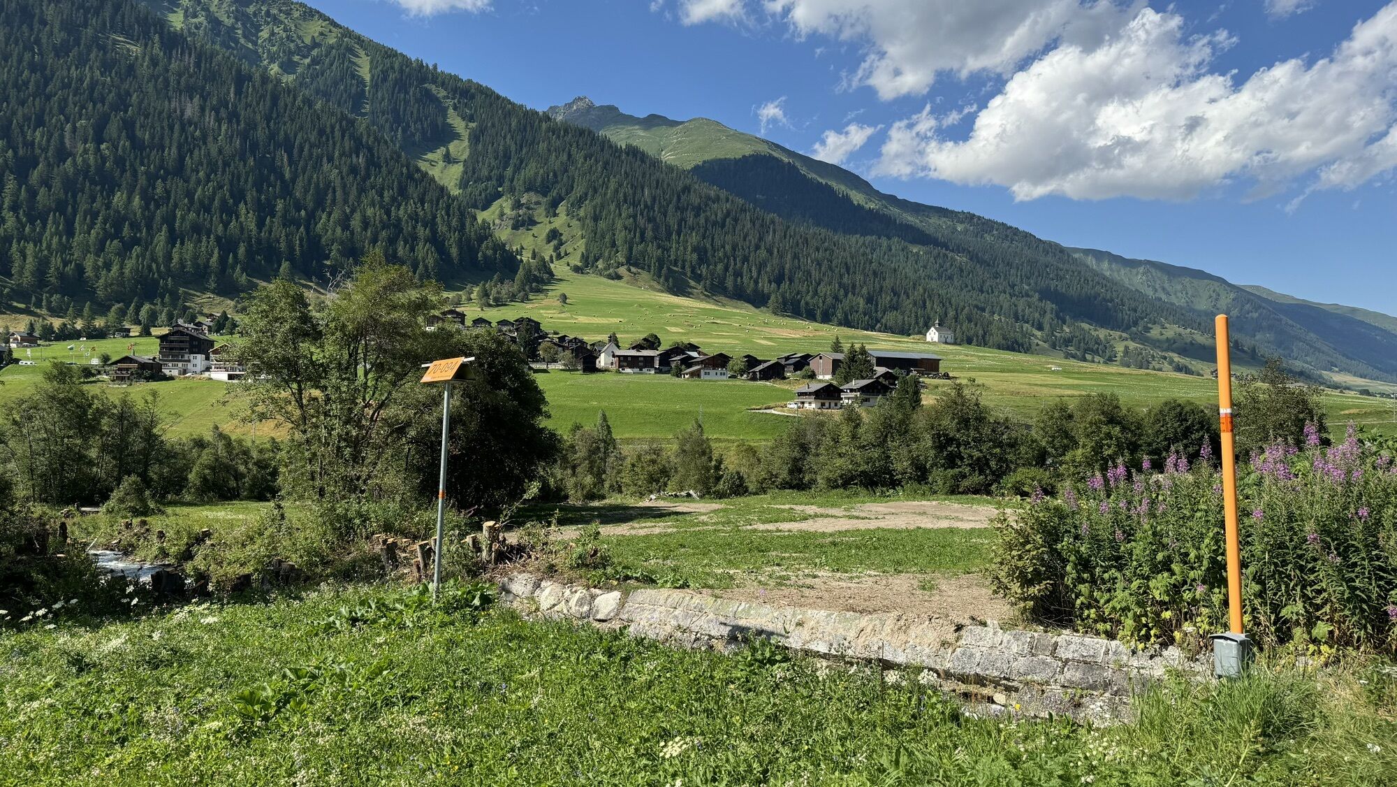
The practically flat Rottenweg along the young Rhone is ideal to explore Obergoms. Sometimes over wide meadows, sometimes through bright forests, the Rottenweg leads from village to village. This comfortable...
The practically flat Rottenweg along the young Rhone is ideal to explore Obergoms. Sometimes over wide meadows, sometimes through bright forests, the Rottenweg leads from village to village. This comfortable hiking route thus really invites you to discover the excellent Obergommer gastronomy. Strollers or bikes are often seen on the Rottenweg. A pleasure path for young and old, big and small. In every village, you can make a detour and return to the starting point by train.
The Rottenweg can be continued as desired up to Ernen.

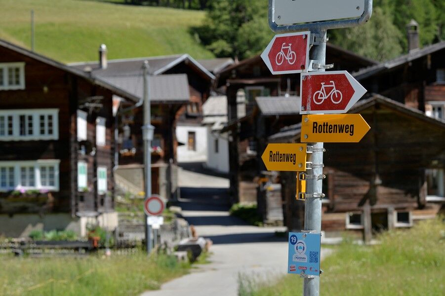
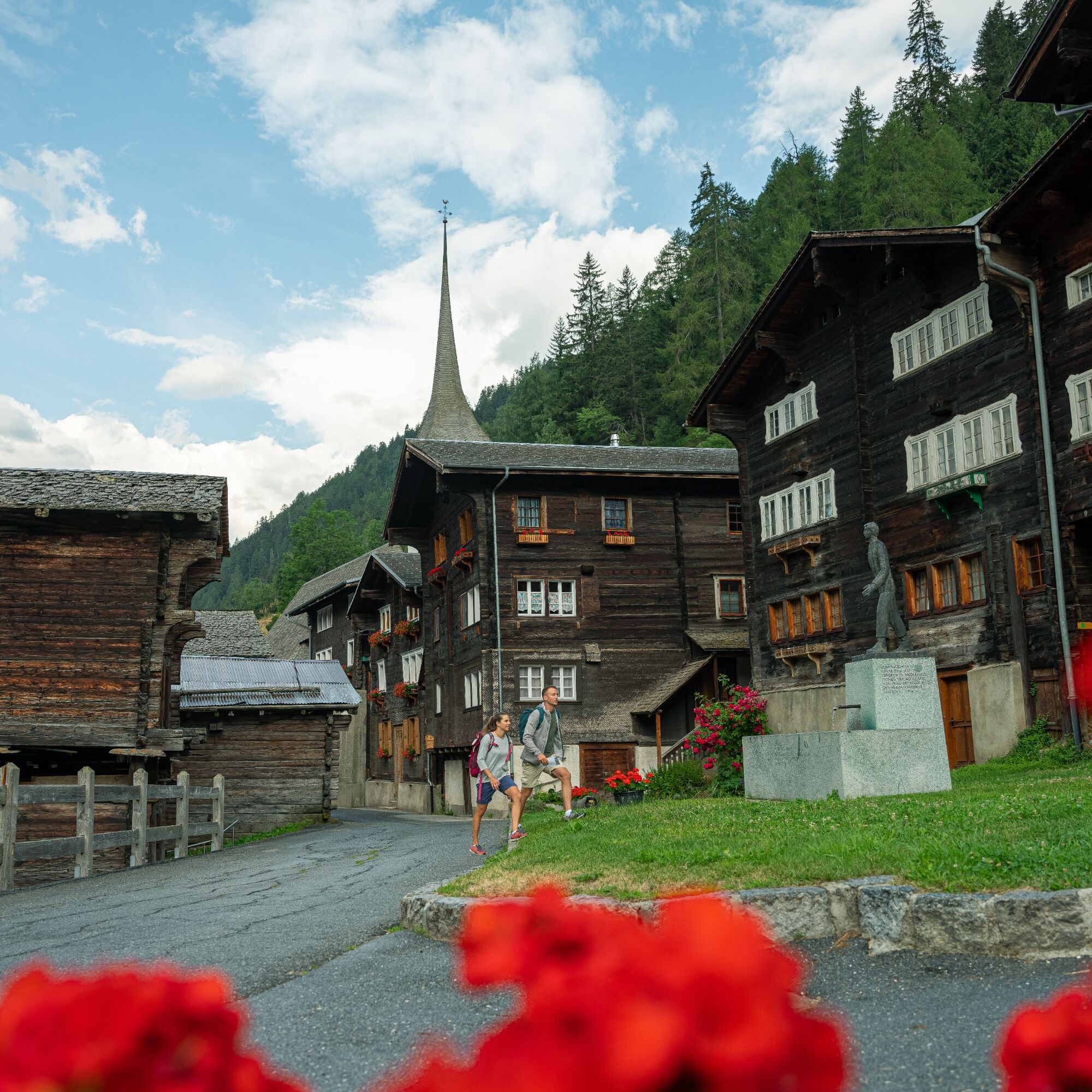
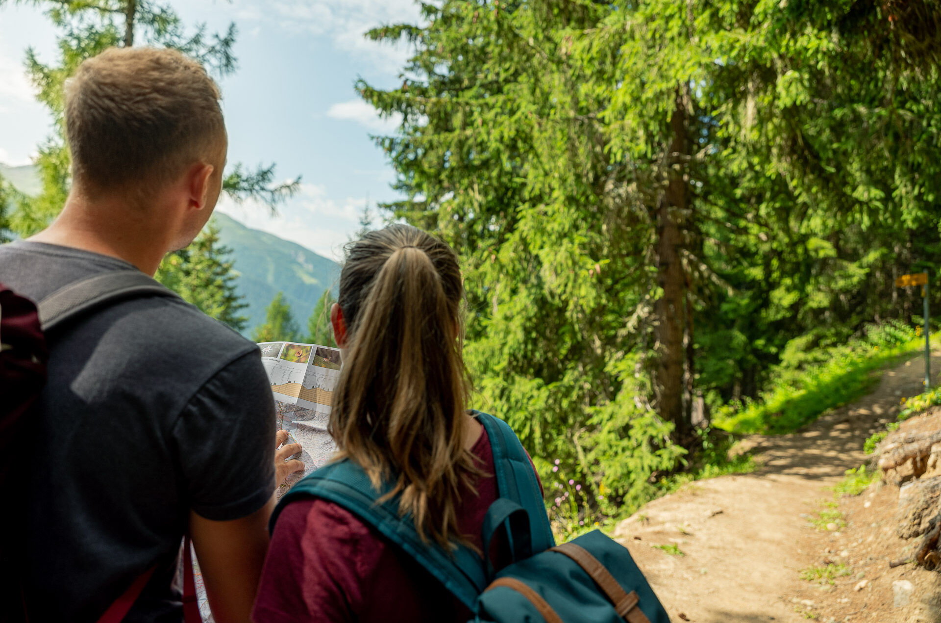
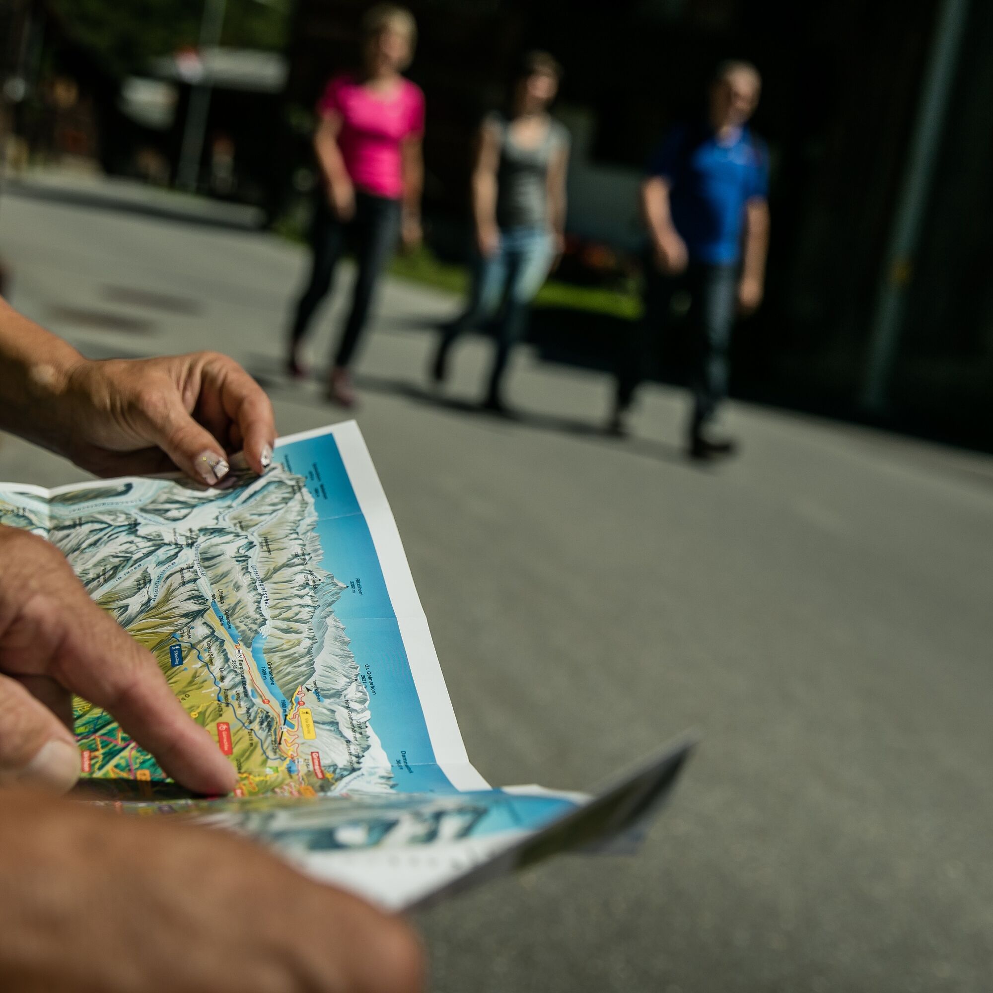
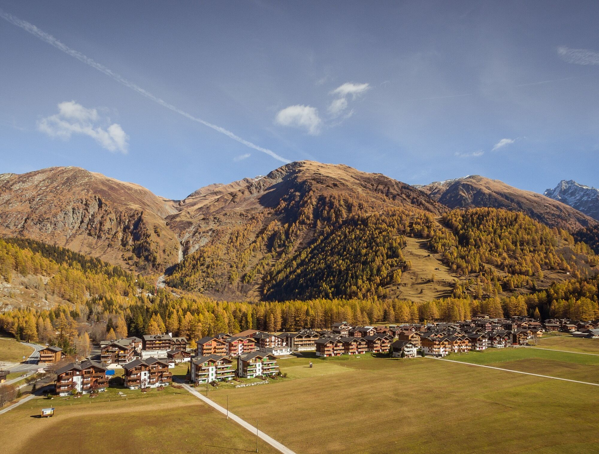
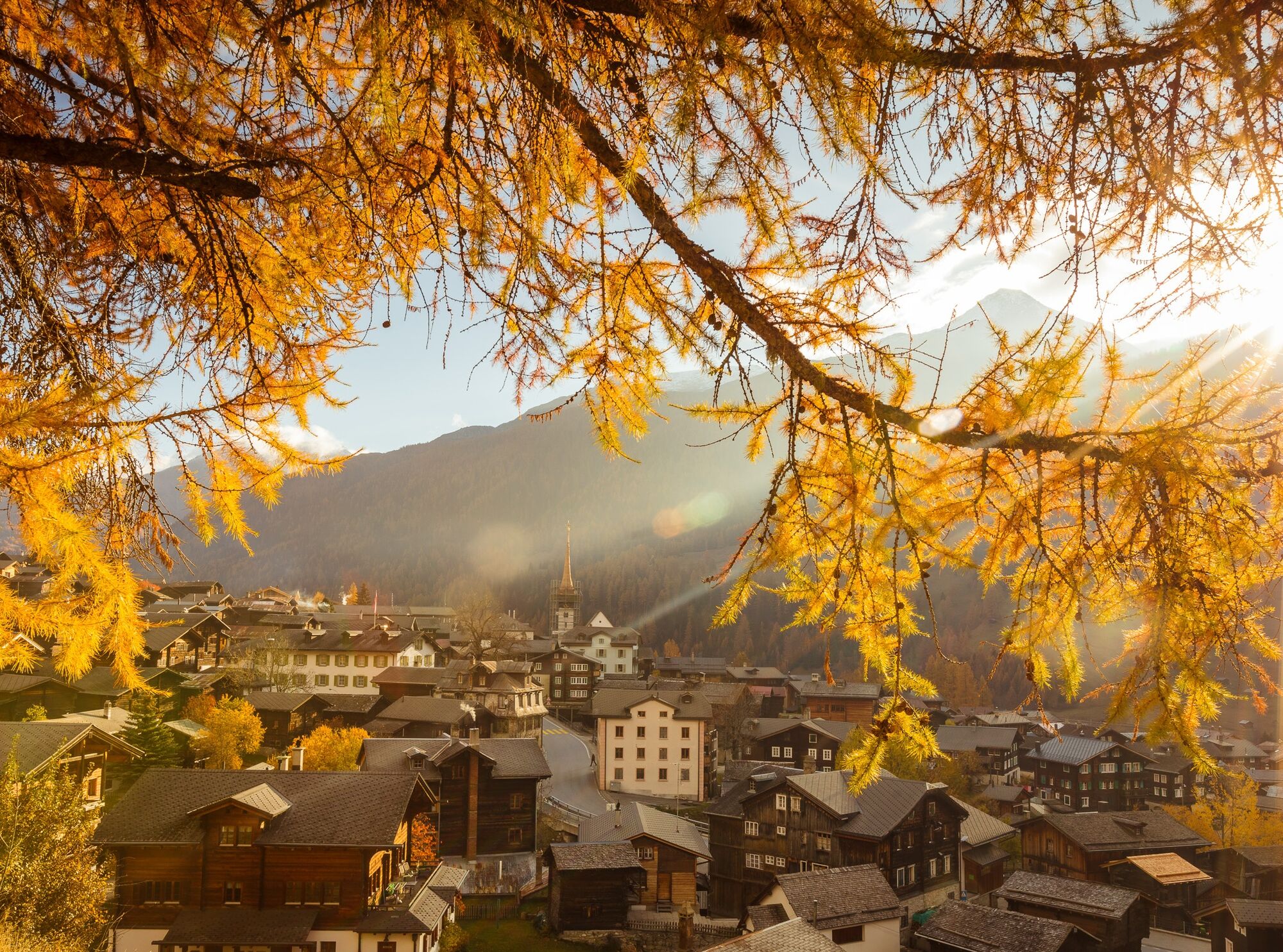
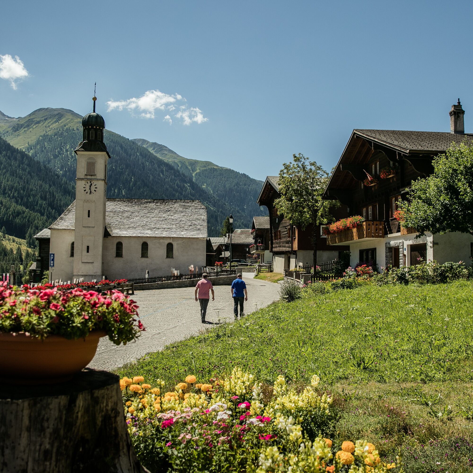

The route starts at the train station in Oberwald, then you walk through Oberwald. From Oberwald, the path leads along the Rhone through all Obergommer communities to the Niederwald train station.
Tak
Tak
Tak
We recommend:
Good footwear and hiking poles Sun and rain protection as well as warm clothing Detailed map or info material with good route preparation Provisions for your day in the open nature First aid kit and mobile phone for emergenciesUse of the hiking trails is at your own risk. Obergoms Tourismus AG rejects any liability and takes no responsibility for the accuracy and completeness of the information on this website.
Carry a hiking map with you or download the complete description of the hiking trail with a large-scale map. Use only marked paths and observe all markings and signs – for your own safety, to protect the landscape, and out of respect for wildlife. Behave considerately towards other path users. Take your waste and other people's waste with you.
Weather conditions can change very quickly and without warning in the mountains. Appropriate clothing and sufficient provisions (food and drink) are very important. If the weather is unstable, it is better to turn back early.
Carry additional sun protection. UV rays at high altitudes can be very strong, even in cloudy weather.
Plan your route carefully and thoroughly. Inform yourself in advance about the current conditions and weather situation. The summer report https://www.goms.ch/sommersportbericht provides valuable information from the region in this regard.
From Brig, follow the cantonal road no. 19 (Furka Road) for about 40 km to Oberwald.
The Goms is also well connected from the Zurich / Lucerne region via Andermatt - Furka car shuttle www.matterhorngotthardbahn.ch.
With the regional trains of the Matterhorn Gotthard Bahn, you can get from Brig to Oberwald in 1 hour 23 minutes. The Goms is also easily accessible from the Zurich / Lucerne region via Andermatt - Furka Base Tunnel.
You can find train and bus timetables at www.sbb.ch.
You will find individual parking spaces at the train station. Additionally, there are parking spaces at the level crossing at the entrance to the village in Oberwald.
Summer report at https://www.goms.ch/sommersportbericht
Timetable www.sbb.ch
Emergency rescue service phone number: 144
The Rottenweg invites you to discover the excellent Obergommer gastronomy.

Kamery internetowe z trasy
-
Bellwald Tourismus
-
Hungerberg - Restaurant Gommerblick
-
Obergesteln
-
Ulrichen VS / Hotel Astoria
-
Blitzingen
-
Obergoms/Oberwald
-
Nordisches Zentrum Goms
-
Münster Landhaus Goms
-
Reckingen Hotel Glocke
-
Blitzingen Bodmen
-
Blitzingen - Hotel Castle
-
Bellwald Furggulti
-
Bellwald Talstation
-
Bellwald Mittelstation Fleschen
-
Hotel Grimselpass
-
Grimselsee - Grimsel Hospiz
-
Obergesteln - Source du Rhône
-
Goms - Obergesteln
Uzyskaj wgląd
Zawsze na żywo z ponad 9 500 kamer internetowych. bergfex Jako użytkownik Pro, możesz teraz zobaczyć odpowiednie kamery internetowe dla wielu wycieczek w aplikacji wycieczki od. Pozwala to na bezpośredni podgląd aktualnych warunków.

Popularne wycieczki w okolicy
-
5,0
Circular hike from Grimsel Pass - Sidelhorn via Jostsee
średniWędrówka 8,47 km -
5,0
9 lake-trail
ciężkiWędrówka 17,3 km -
4,0
Panoramaweg über den Aletschgletscher
średniWędrówka 17,7 km -
5,0
Gelmersee-Tour
światłoWędrówka 9,03 km -
Furka Pass – Rhone Glacier
światłoWędrówka 3,59 km -
4,8
Ciaspolata al Rifugio Maria Luisa
średniRakieta do chodzenia po śniegu 11,2 km -
3,5
Circular hike Furka Pass-Tällistock
średniWędrówka 11,0 km -
5,0
Aletsch Sightseeing
średniWędrówka zimą 15,5 km -
5,0
Toce Waterfall - Riale - San Giacomo Pass road
średniWędrówka 10,9 km -
4,5
Hike to the Glacier View in Bellwald
średniWędrówka 8,86 km
Wędrówki i tropienie


Nie przegap ofert i inspiracji na następne wakacje
Twój adres e-mail została dodana do listy mailingowej.





