







Lötschentaler Höhenweg Lauchernalp-Jeizinen
Poziom trudności: T2
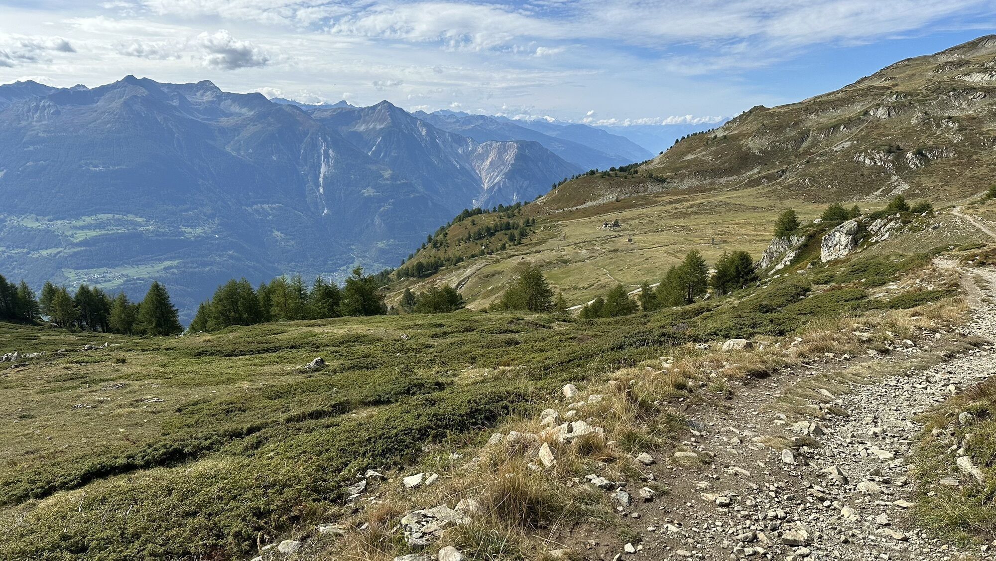
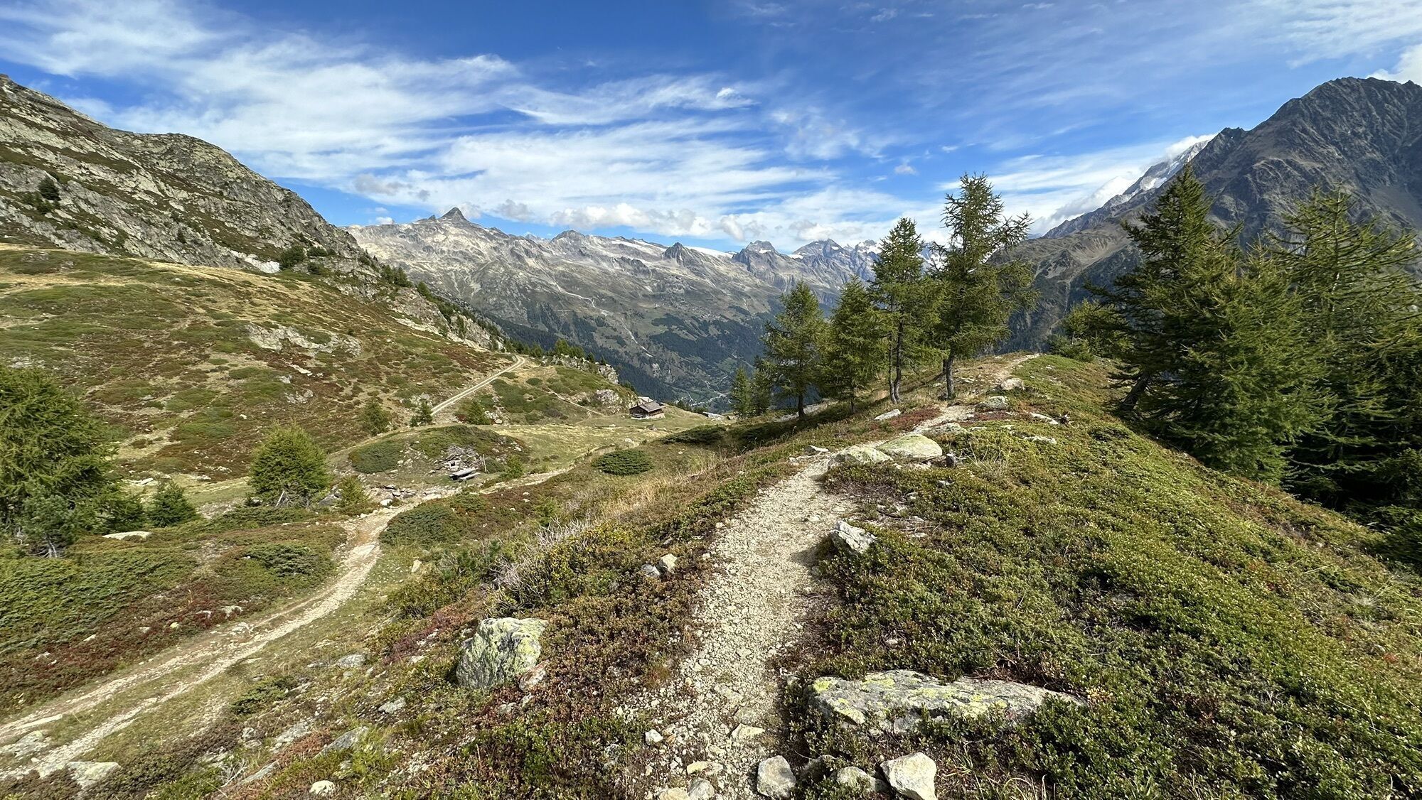
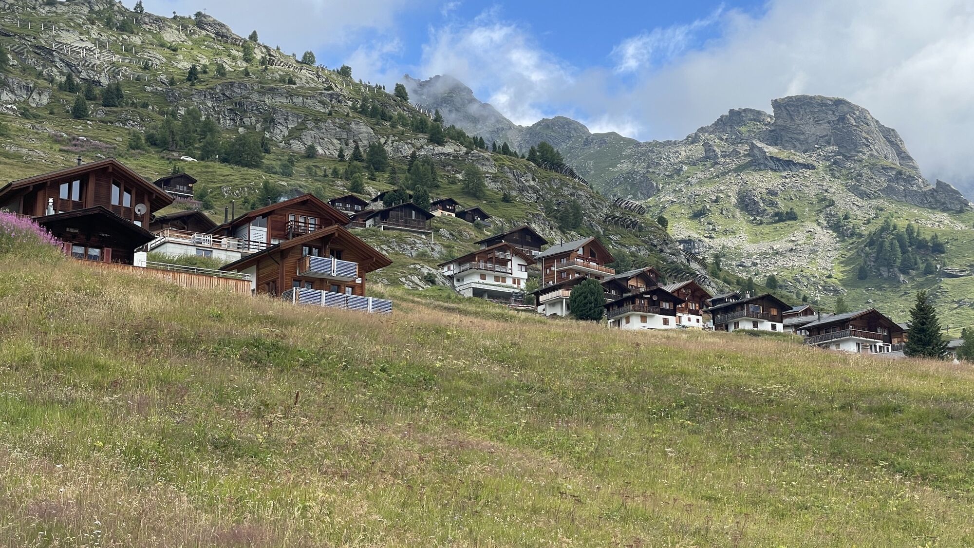
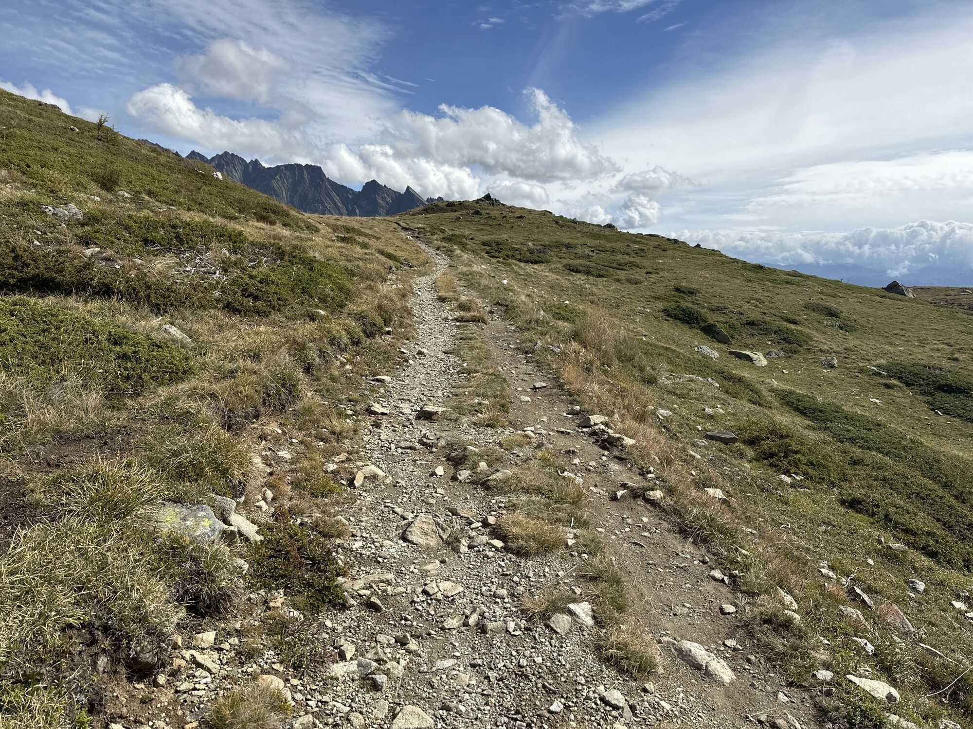
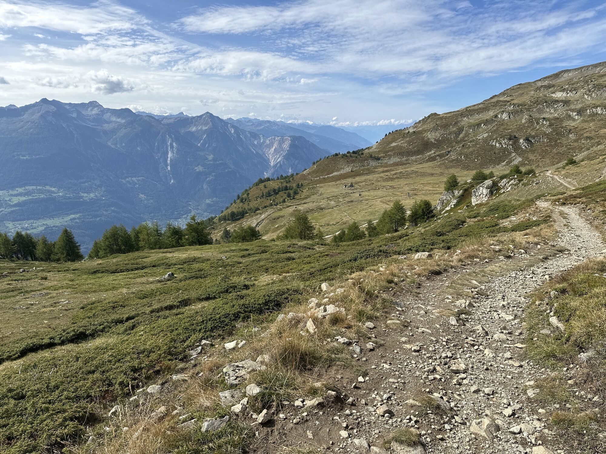
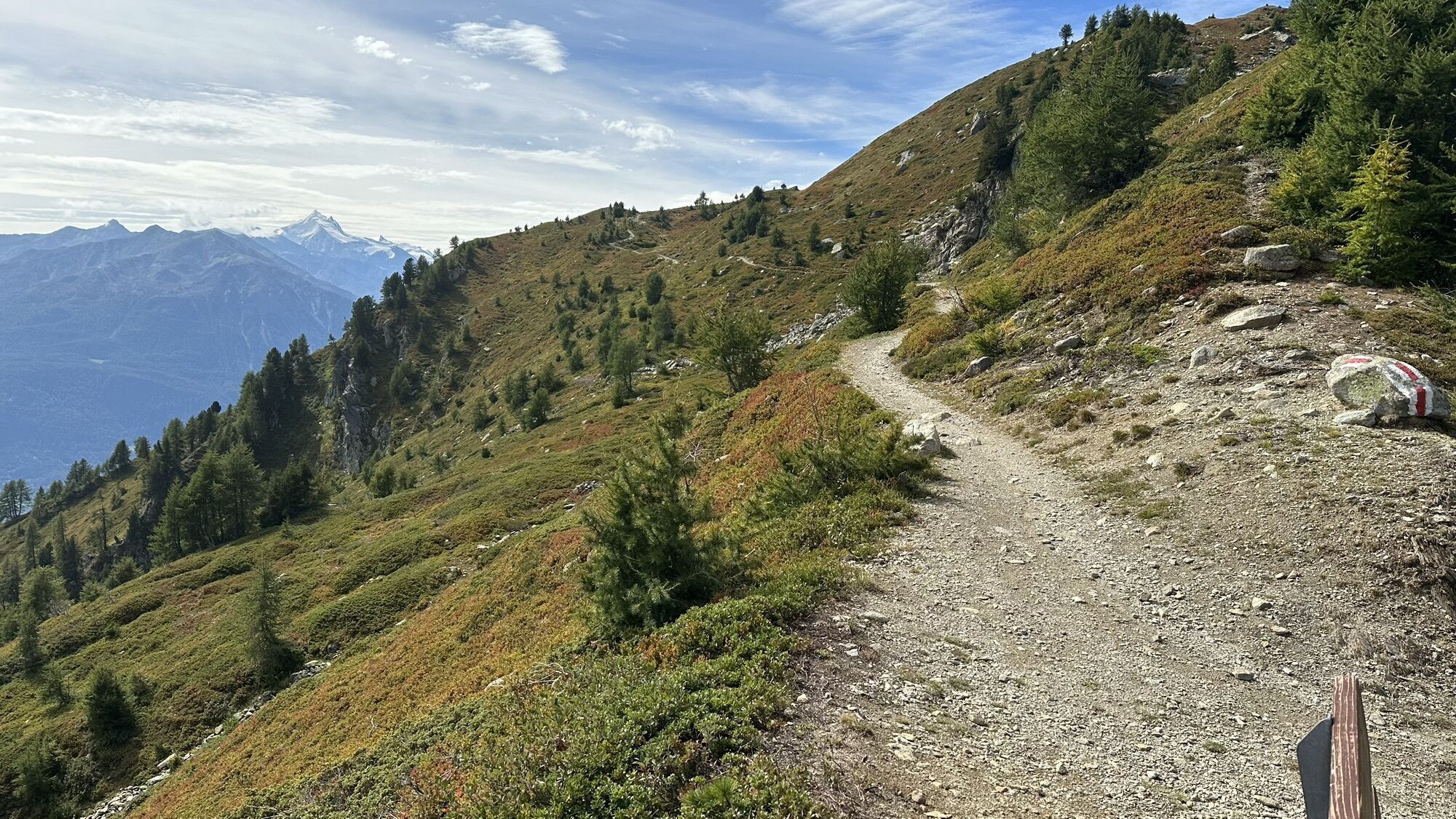

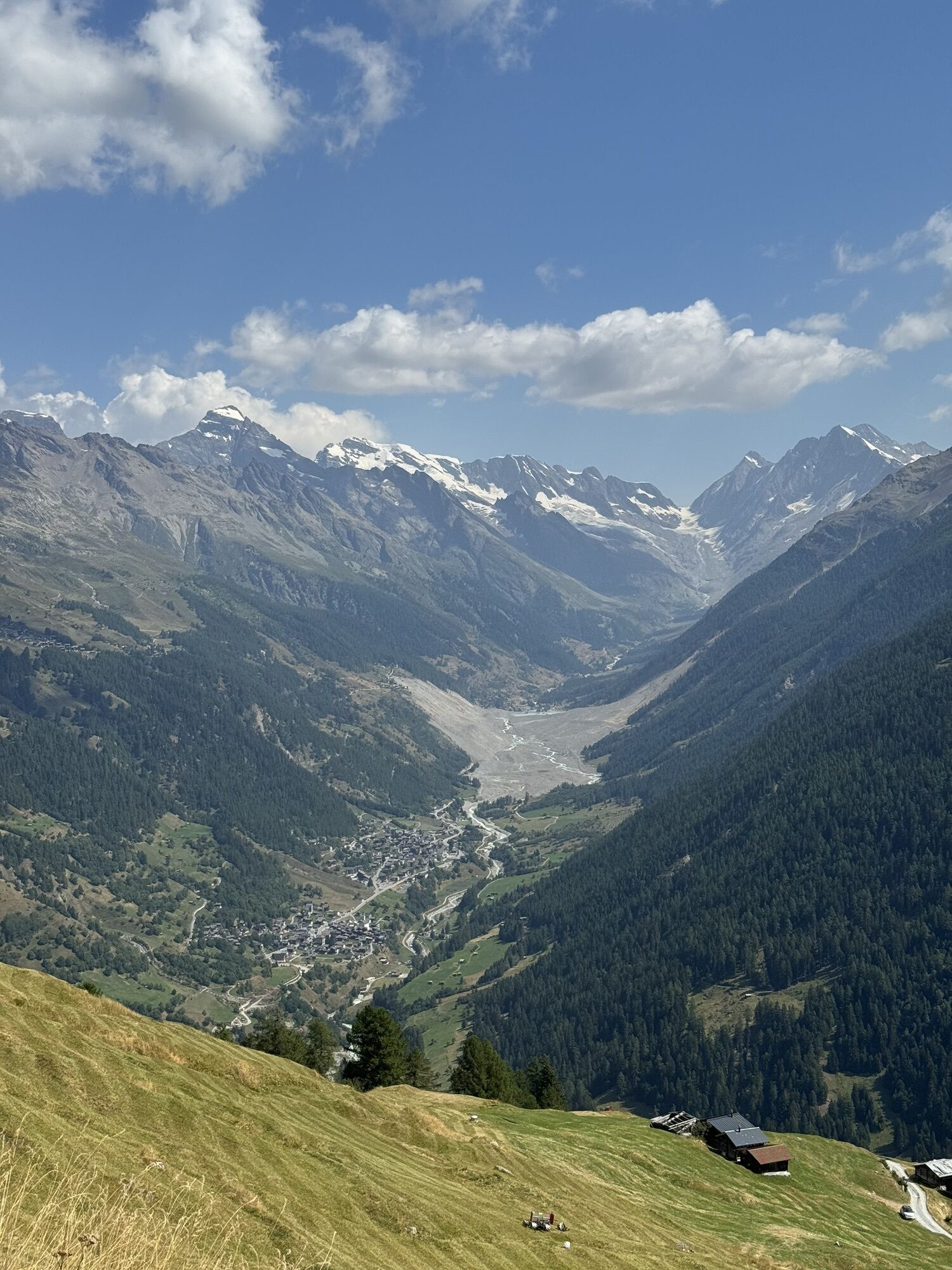
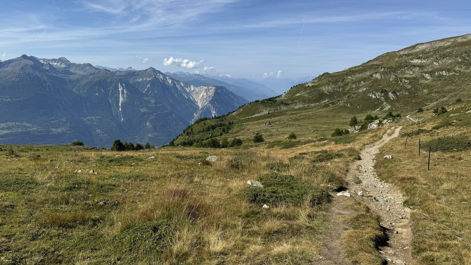
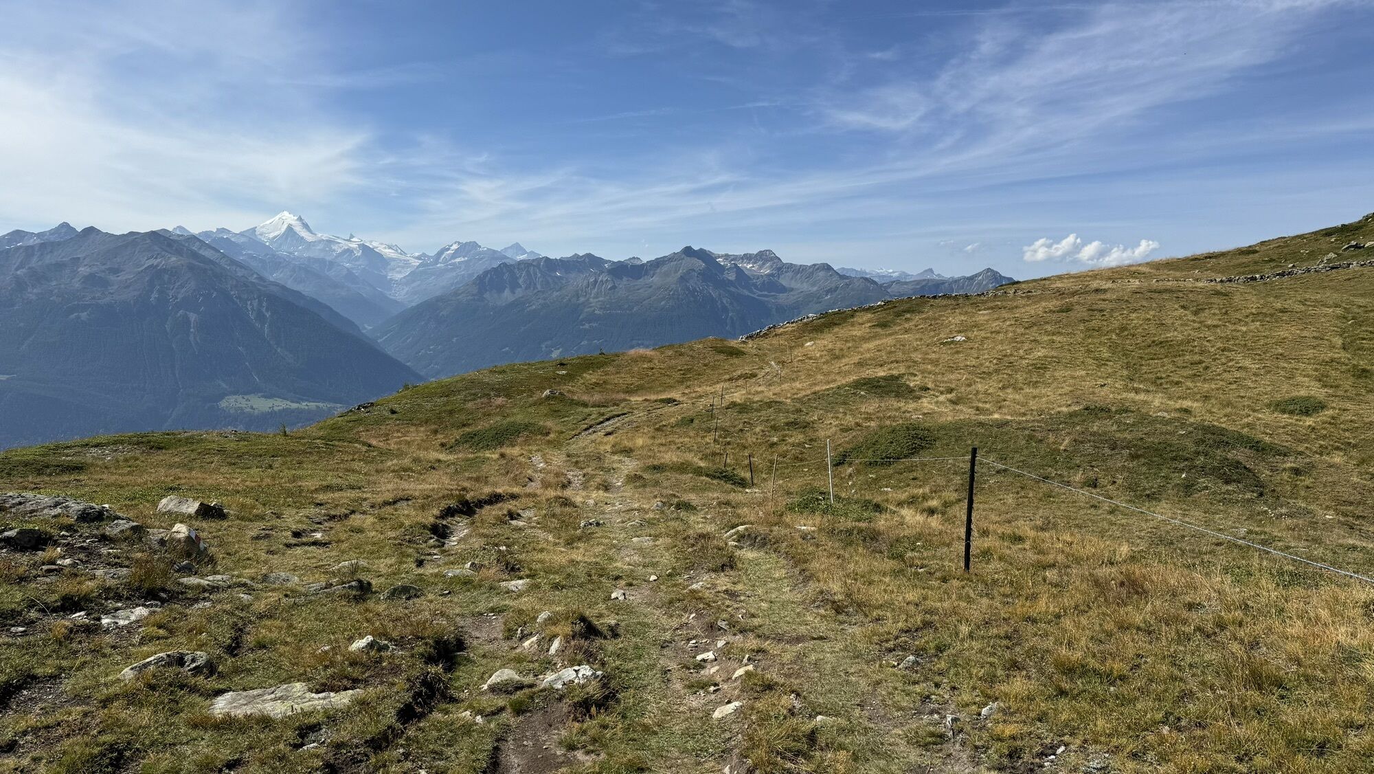
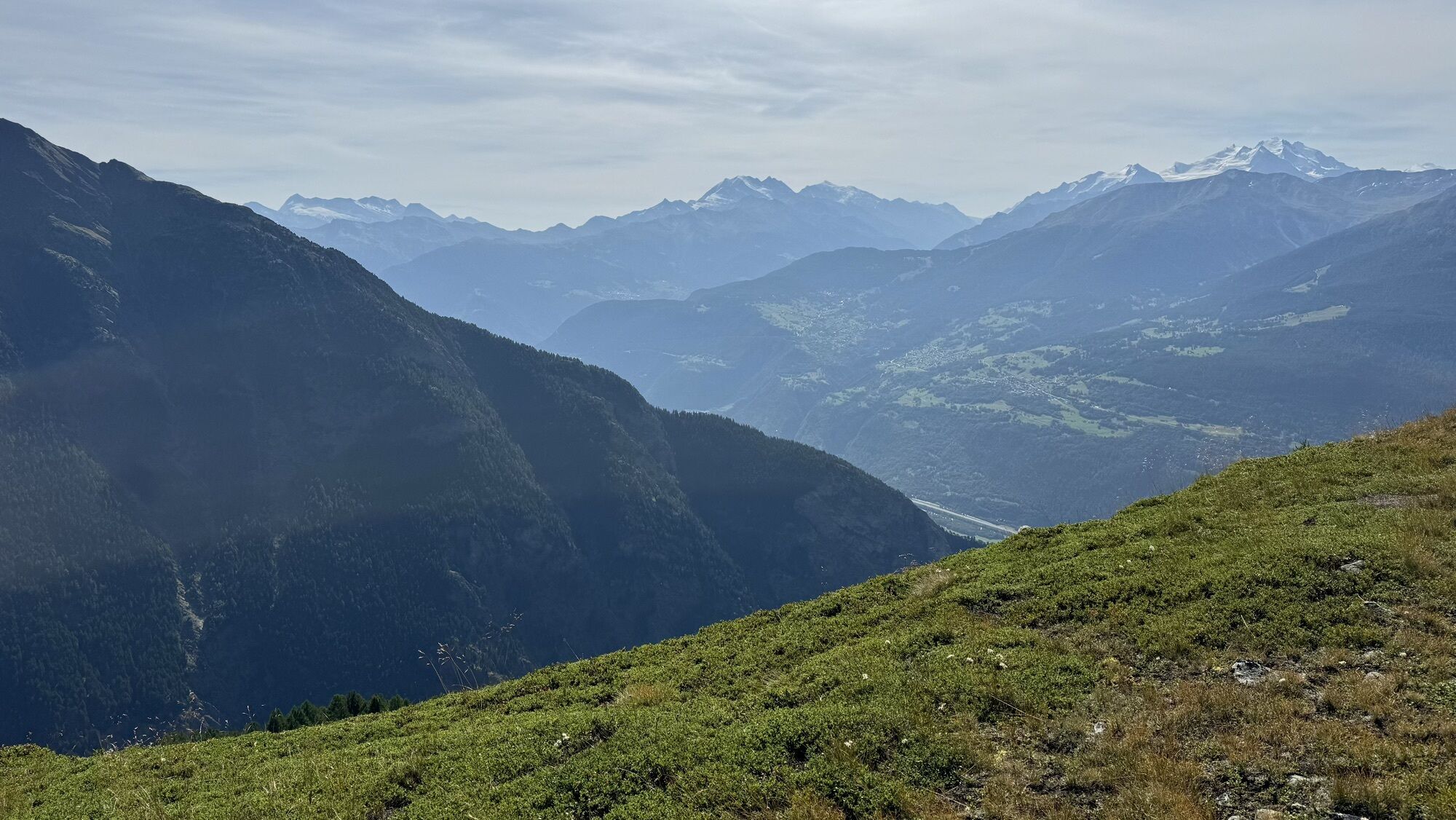
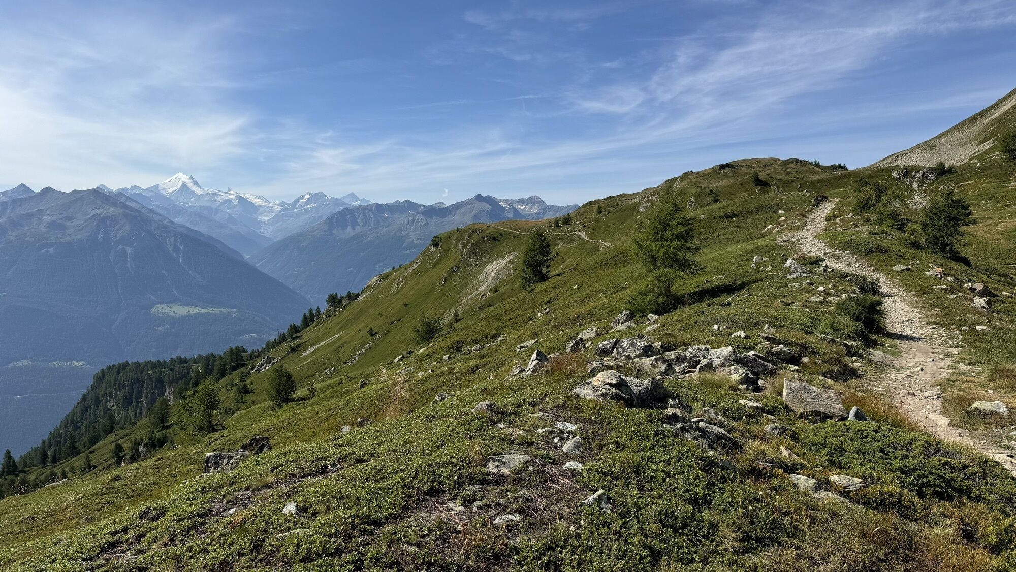
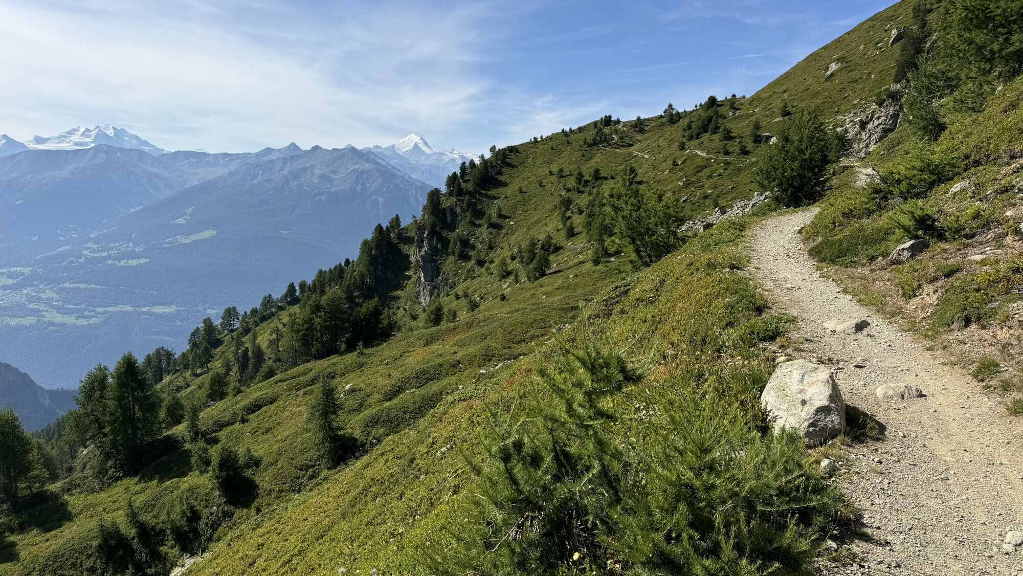
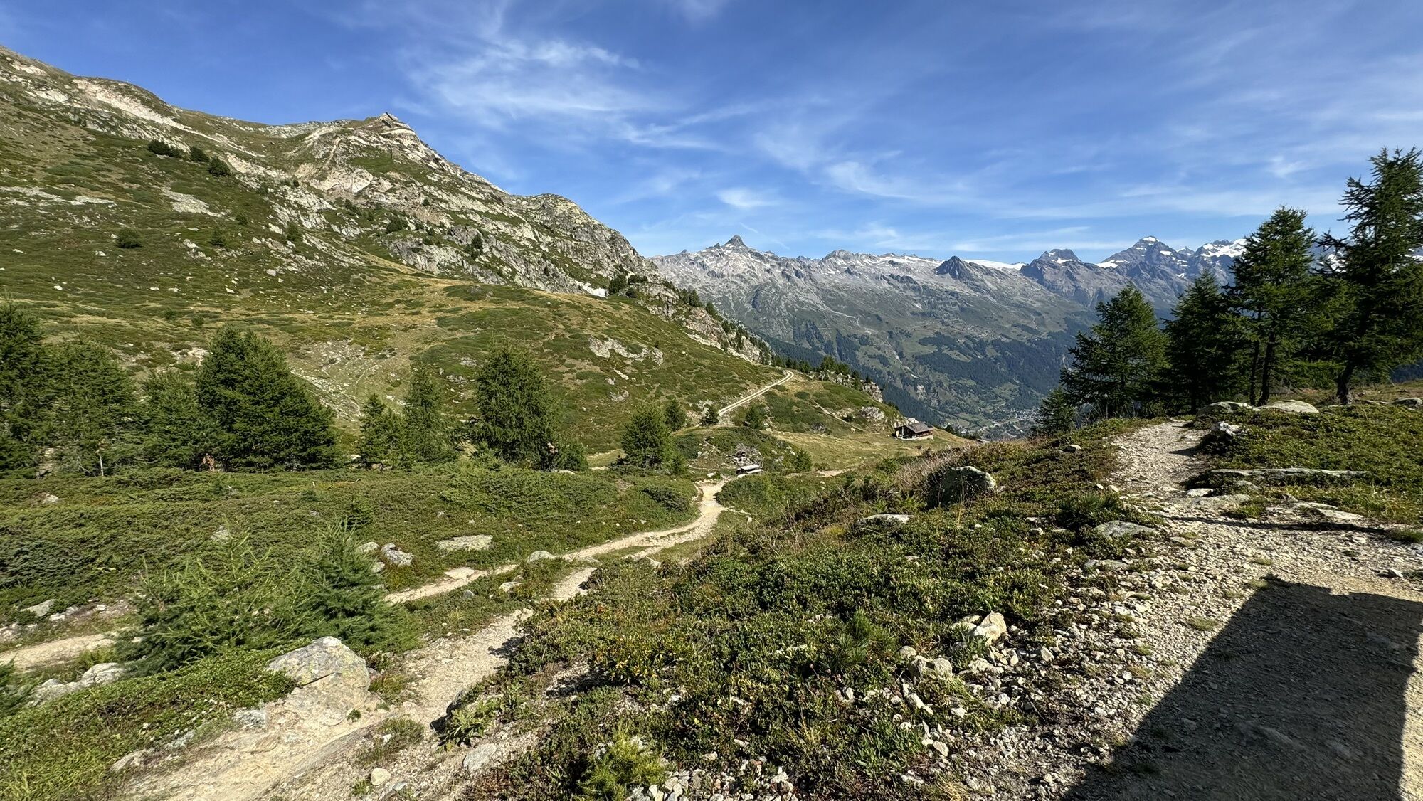
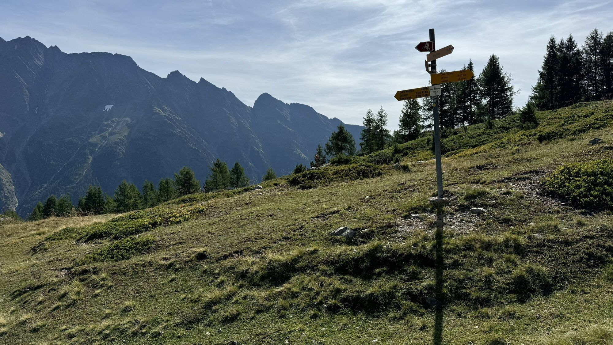
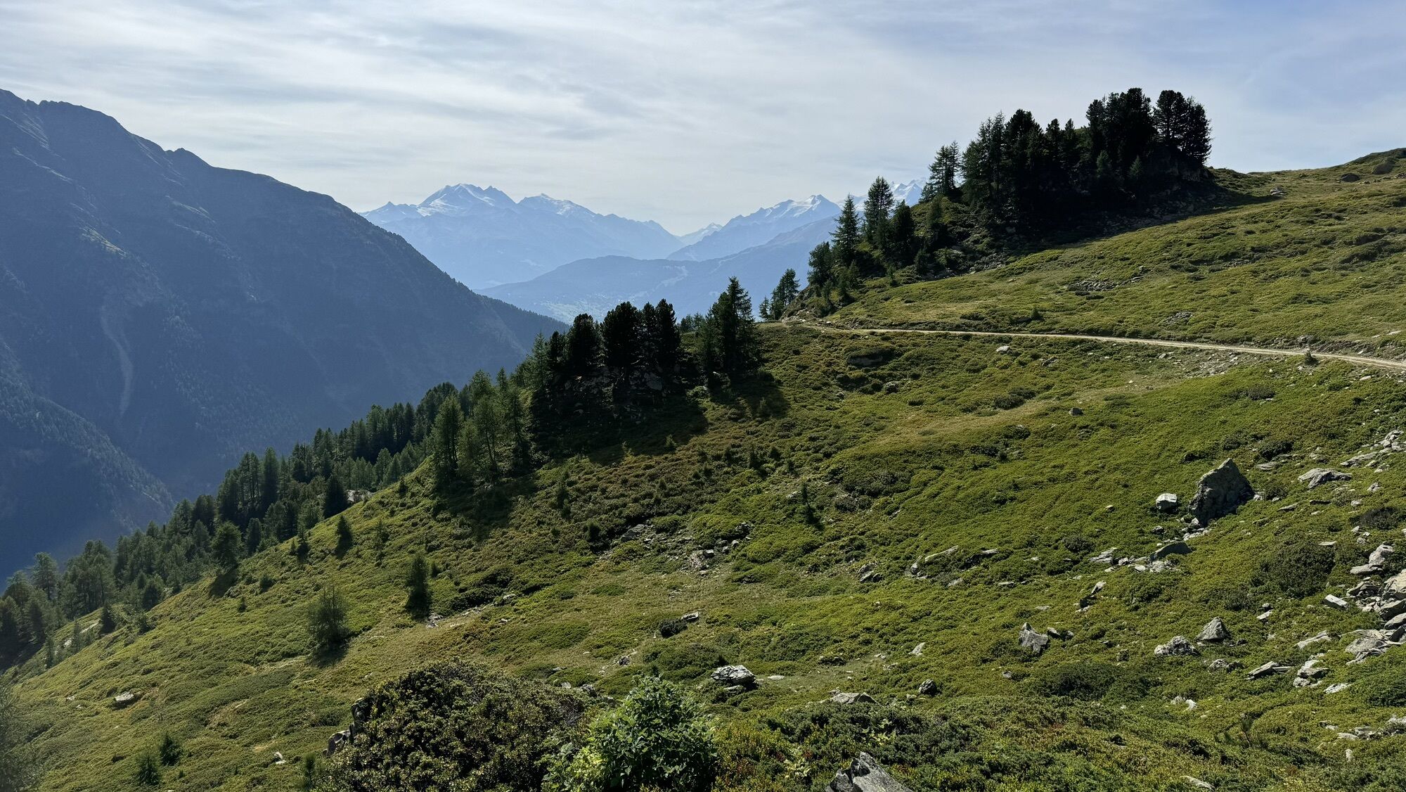
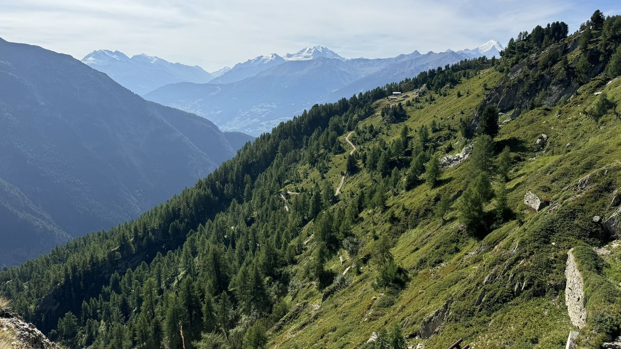
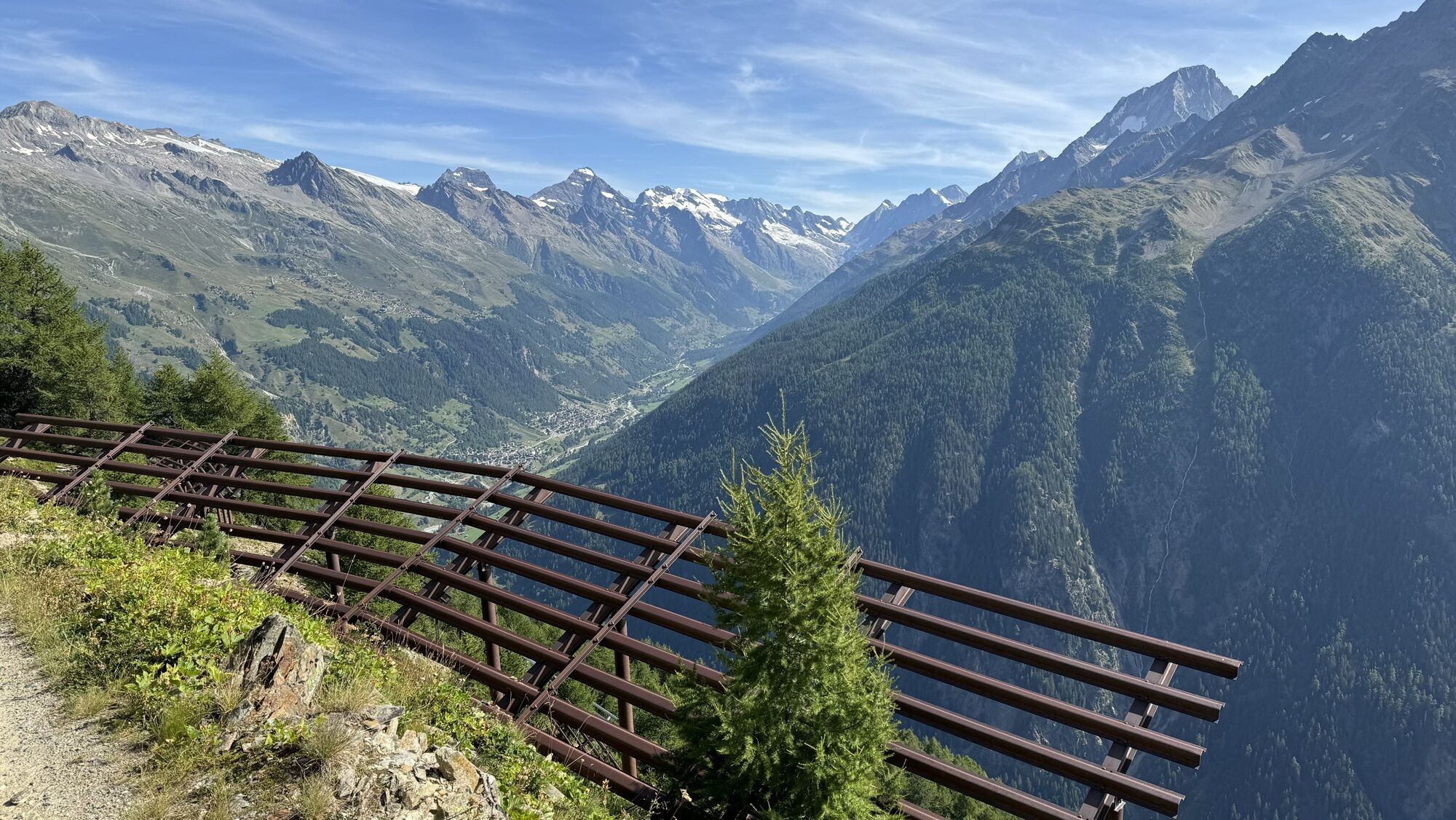
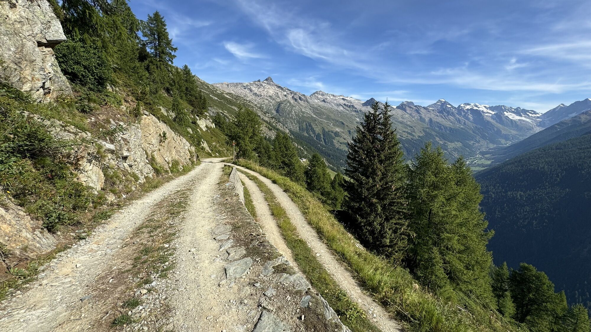
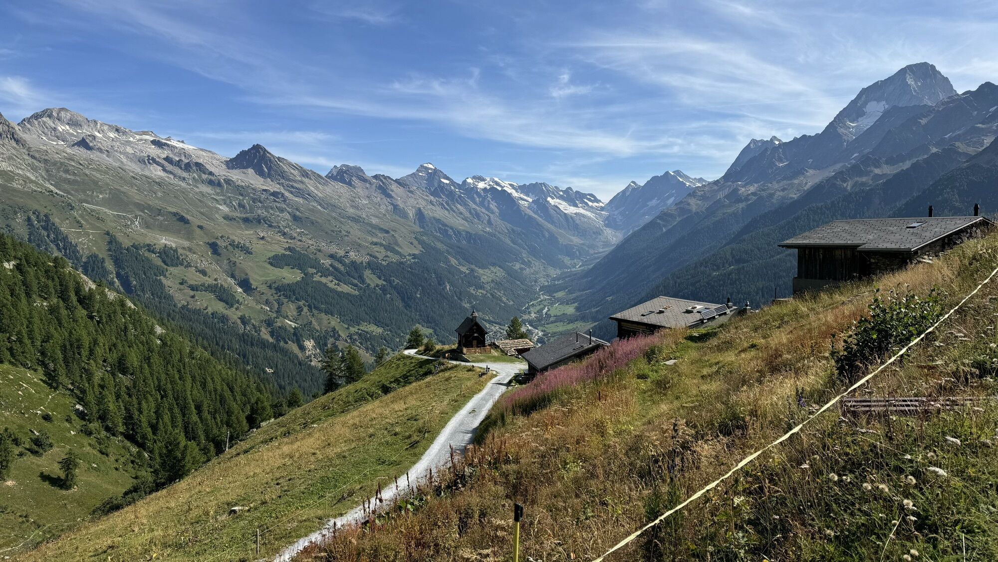
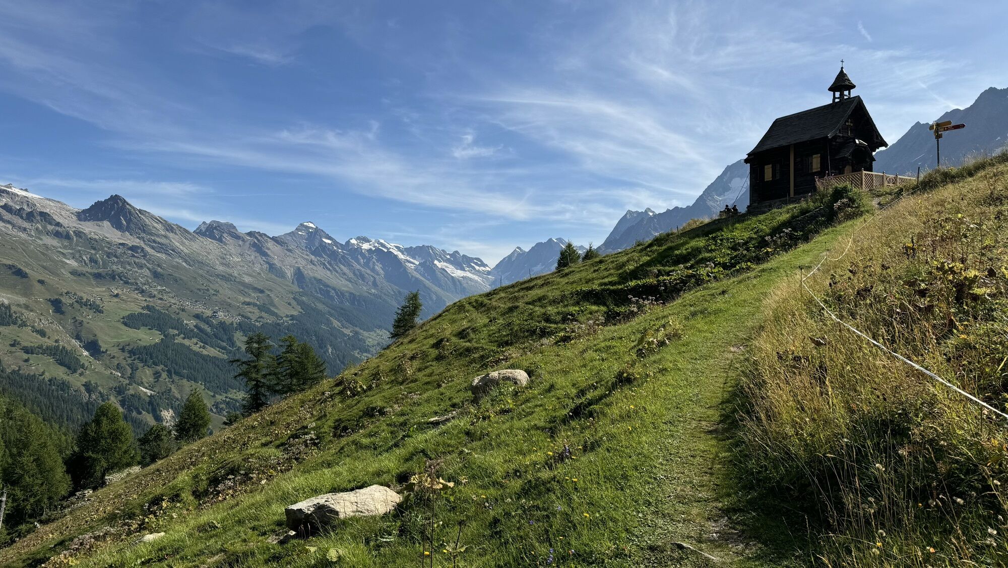
Located at an altitude mostly between 1,900 to 2,100m above sea level, it offers a magical panorama of the Lötschental. The west route of the Lötschentaler Höhenweg leads from the Lauchernalp mountain...
Located at an altitude mostly between 1,900 to 2,100m above sea level, it offers a magical panorama of the Lötschental. The west route of the Lötschentaler Höhenweg leads from the Lauchernalp mountain station via Hockenalp, Kummenalp, Restialp, Faldumalp, Meiggenalp, and Feselalp to Jeizinen. Once in Jeizinen (high above the Rhone Valley), you can use the cable car to Gampel. From there, you can take the PostBus back to the Lötschental. This hike is also highly recommended in the opposite direction.


Lauchernalp - Hockenalp - Kummenalp - Restialp - Faldumalp - Oberi Meiggu - Jeizinen
Tak
Plan every mountain hike carefully!
Pay attention to appropriate and complete equipment!
Never go on a mountain hike alone!
Inform relatives, acquaintances, the hut warden, or the hotel porter about your route. Check in upon arrival at the destination!
Constantly monitor the weather development!
Follow the rule "when in doubt, turn back"!
From Goppenstein, drive into the Lötschental, past the villages Ferden, Kippel to Wiler at the valley station of the Wiler-Lauchernalp cable car.
From Gampel-Steg or Goppenstein, the PostBus takes you to Wiler, from where the cable car brings you to Lauchernalp in 5 minutes.
You can park your car in the parking lot at the Wiler-Lauchernalp cable car (fee required).
T2
Refresh yourself at Kummenalp in the Gasthaus Kummenalp or at the lower Feselalp in the Trächuhittu.

Kamery internetowe z trasy
-
Bergstation Luftseilbahn Wiler-Lauchernalp
-
Jeizinen - Feselalpe
-
Stafel
-
Bergstation Luftseilbahn Wiler-Lauchernalp
-
Bergstation Luftseilbahn Wiler-Lauchernalp
-
Bergstation Luftseilbahn Wiler-Lauchernalp
-
Bergstation Luftseilbahn Wiler-Lauchernalp
-
Bergstation Luftseilbahn Wiler-Lauchernalp
-
Bergstation Luftseilbahn Wiler-Lauchernalp
-
Hockenhorngrat
-
Restaurant Üflängen
-
Trächu Hittu / Untere Feselalpe
-
Bratsch
-
Obere Feselalpe
-
LGJ Bergstation
-
Wiler Lötschental
Uzyskaj wgląd
Zawsze na żywo z ponad 9 500 kamer internetowych. bergfex Jako użytkownik Pro, możesz teraz zobaczyć odpowiednie kamery internetowe dla wielu wycieczek w aplikacji wycieczki od. Pozwala to na bezpośredni podgląd aktualnych warunków.
Popularne wycieczki w okolicy
-
4,4
Kandersteg - Oeschinensee - Blüemlisalphütte
ciężkiWędrówka 11,8 km -
4,0
Rundwanderung Lötschenpasshütte
średniWędrówka 12,2 km -
4,8
Lötschentaler Höhenweg
światłoWędrówka 9,17 km -
5,0
Lauchernalp-Lötschenpass-Selden
ciężkiWędrówka 12,0 km -
4,7
Oeschinensee
światłoWędrówka 15,2 km -
4,7
Leukerbad - Gemmipass - Lämmerenhütte
średniWędrówka 9,49 km -
5,0
Restipass
Wędrówka 14,5 km -
4,0
Gemmipass - Lämmerenhütte - Rote Totz Lücke - Daubensee - Gemmipass
średniWędrówka 13,7 km -
5,0
Torrenthorn- Rigi der Walliser Alpen
Wędrówka 2,99 km -
4,4
Berghaus Oeschinensee - Berghotel Oeschinensee - Reformierte Kirche - Kandersteg
światłodługodystansowy szlak pieszy 4,64 km
Wędrówki i tropienie


Nie przegap ofert i inspiracji na następne wakacje
Twój adres e-mail została dodana do listy mailingowej.





