







BELALP - NESSELALP - BIRGISCH

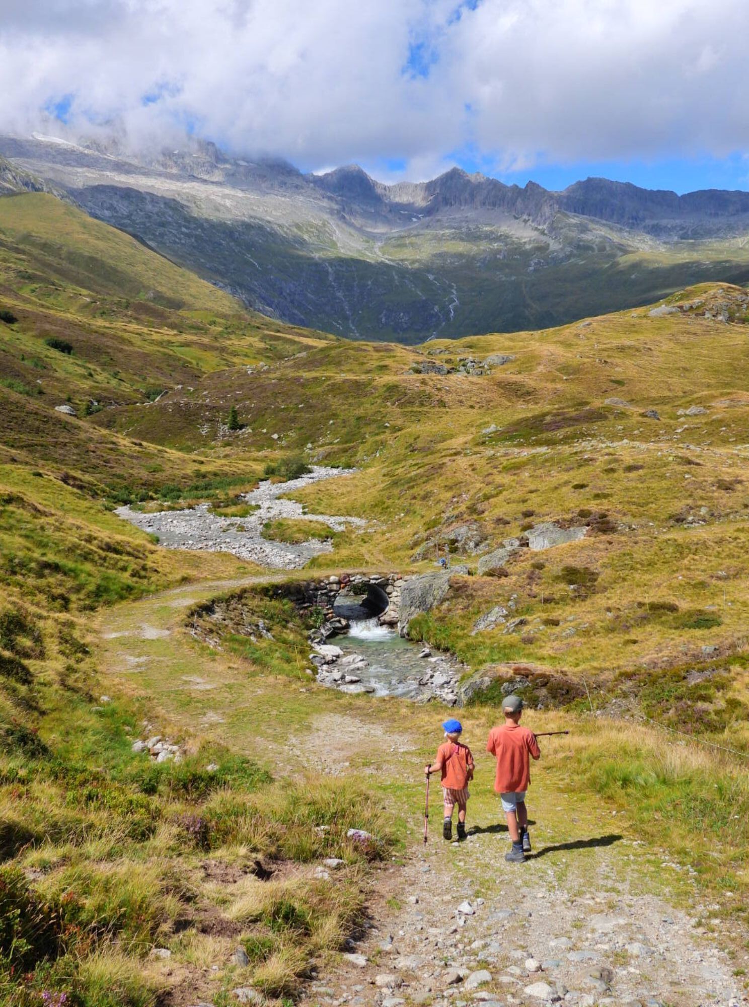
From the mountain station, after a slight descent, you reach Alpe Bäll. From there, you leisurely go over lush alpine meadows to Alpe Nessel and then continue to Birgisch. It is worth looking around and...
From the mountain station, after a slight descent, you reach Alpe Bäll. From there, you leisurely go over lush alpine meadows to Alpe Nessel and then continue to Birgisch. It is worth looking around and enjoying the beautiful panorama along the entire route.

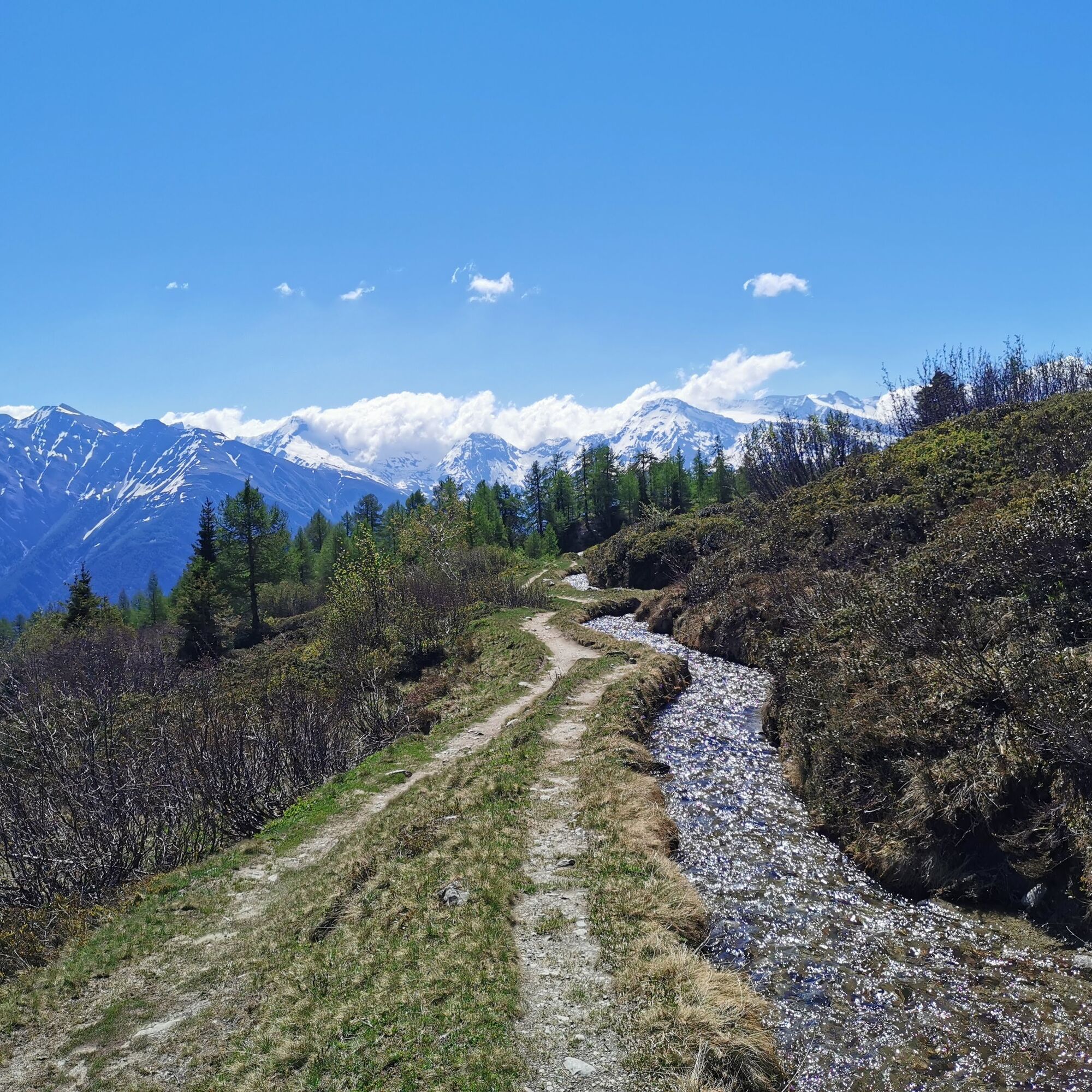
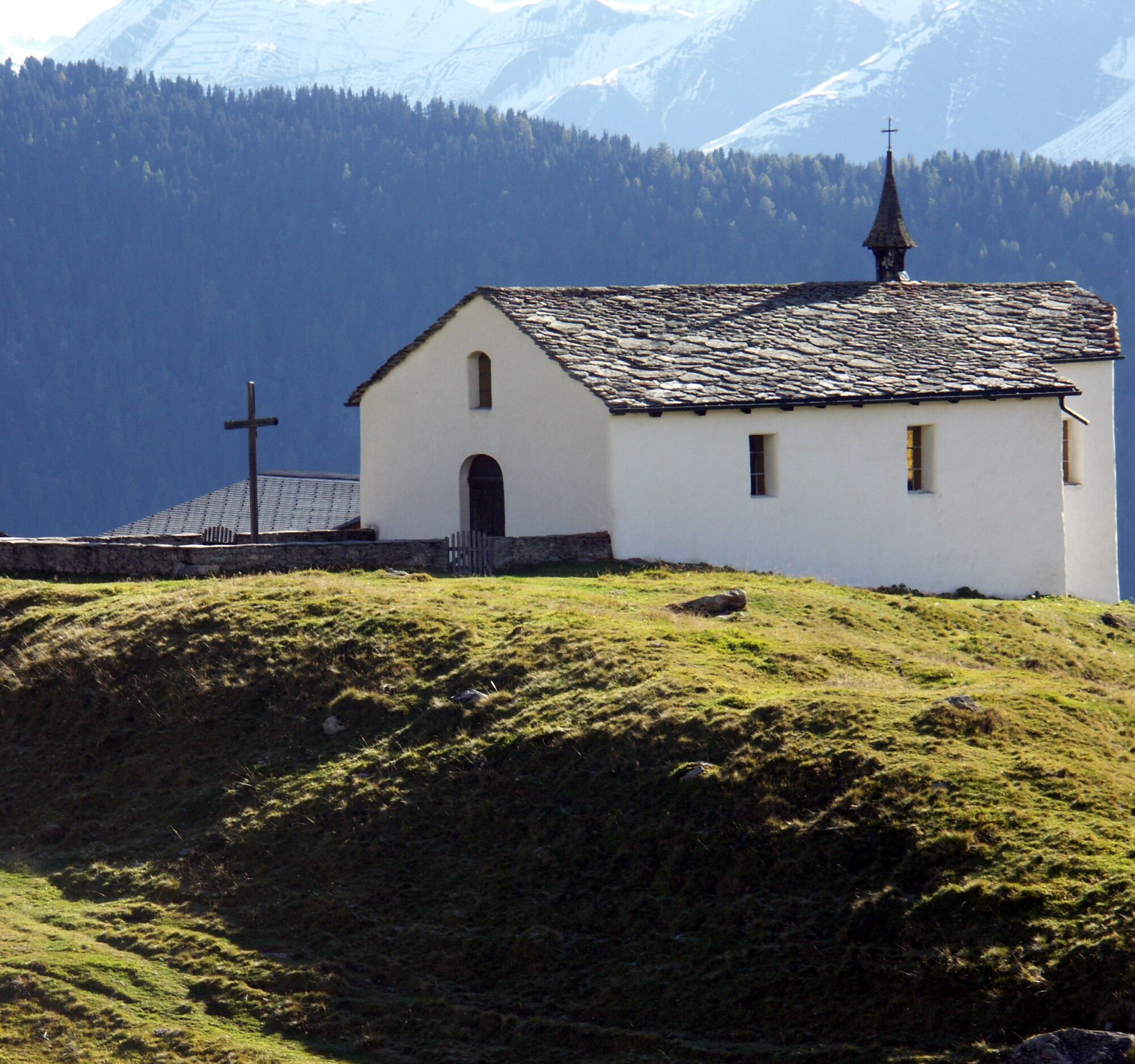
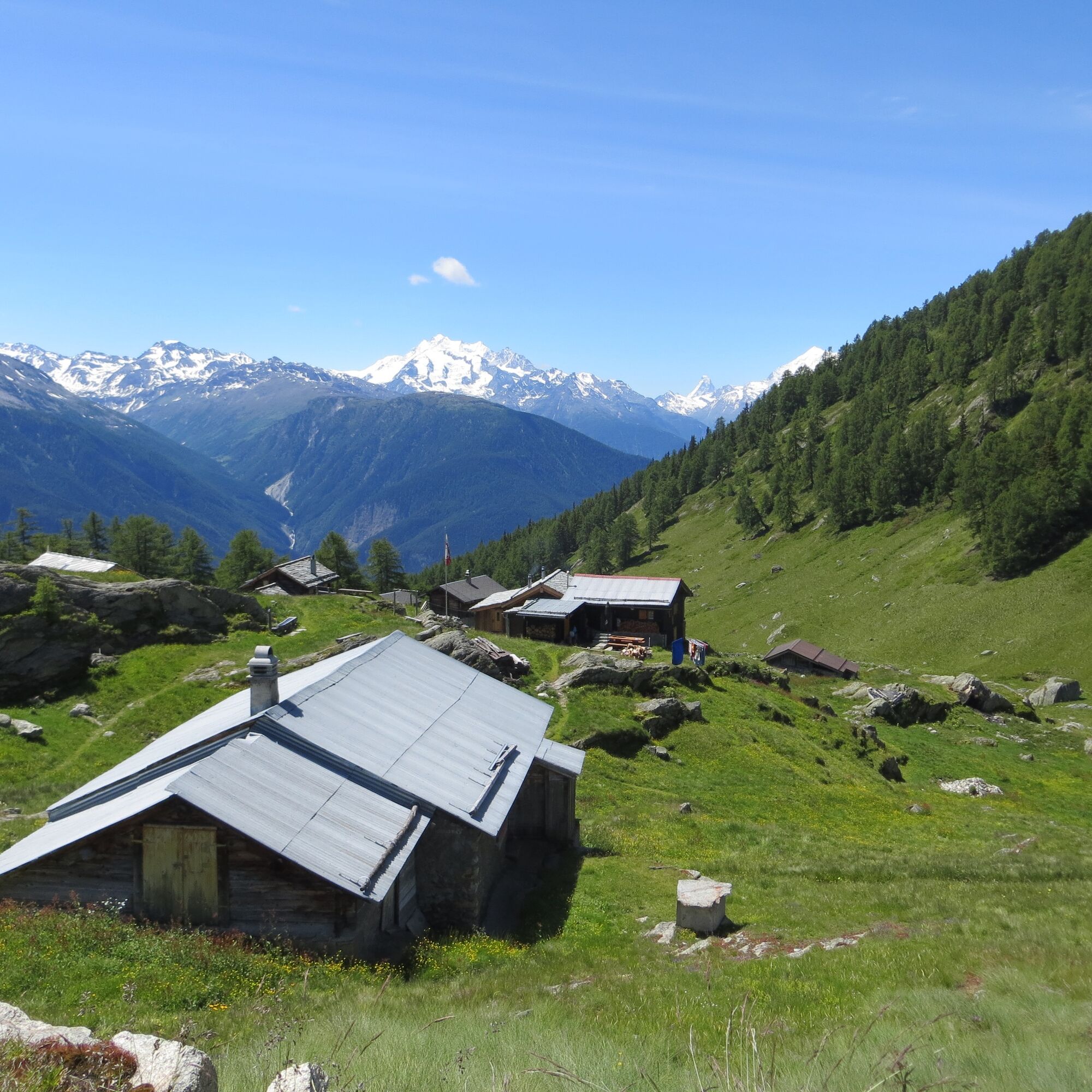
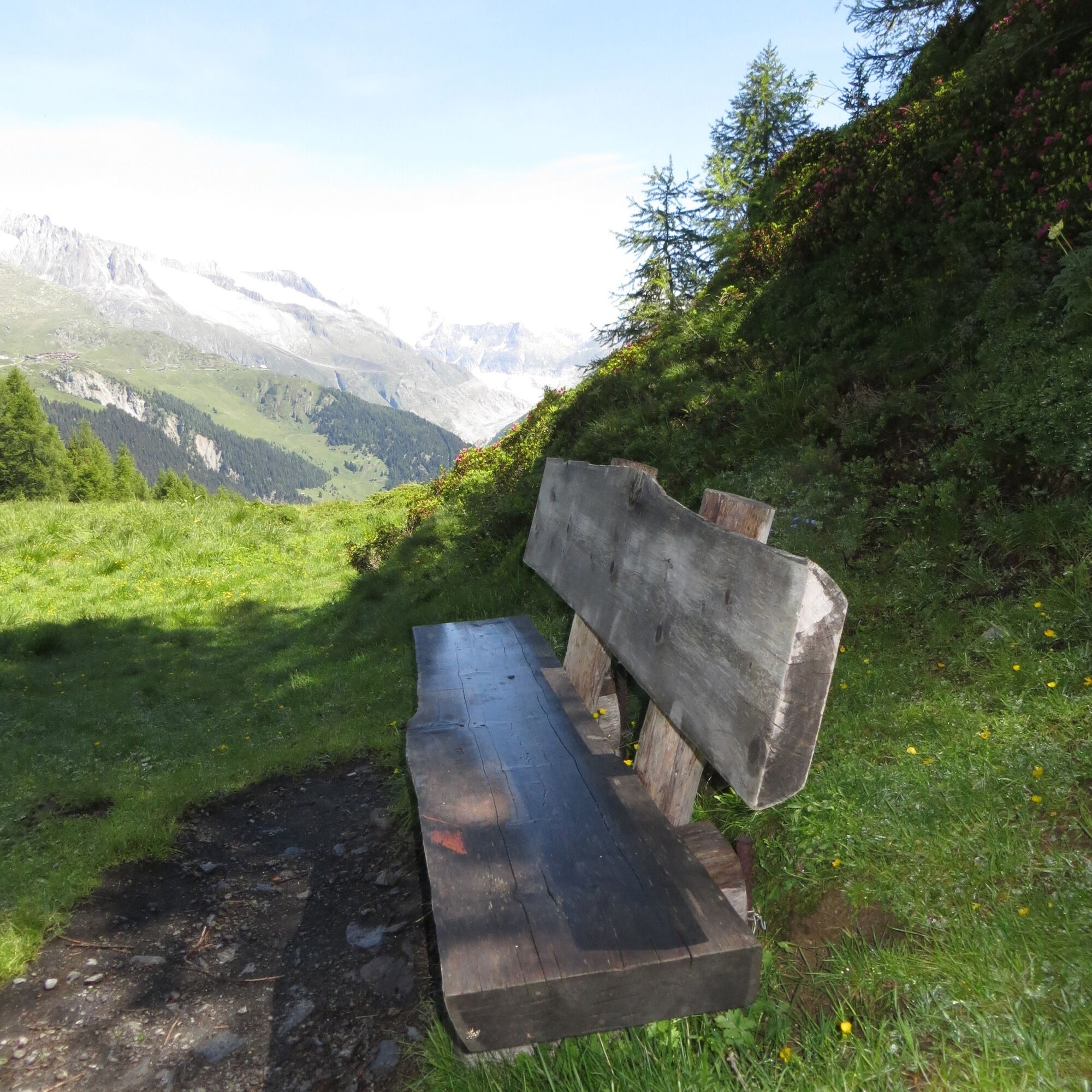
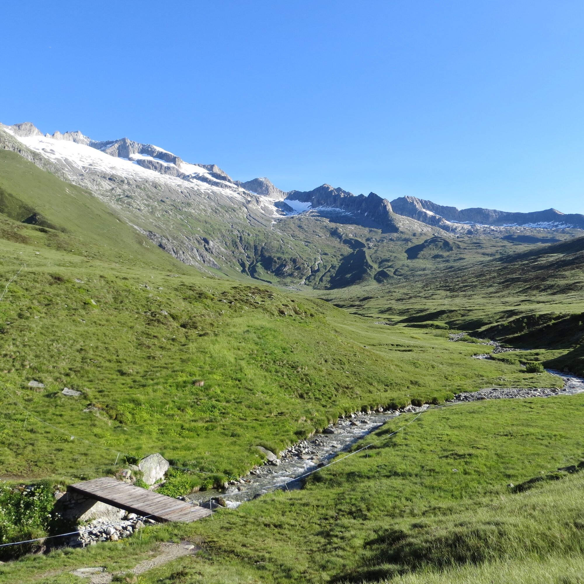
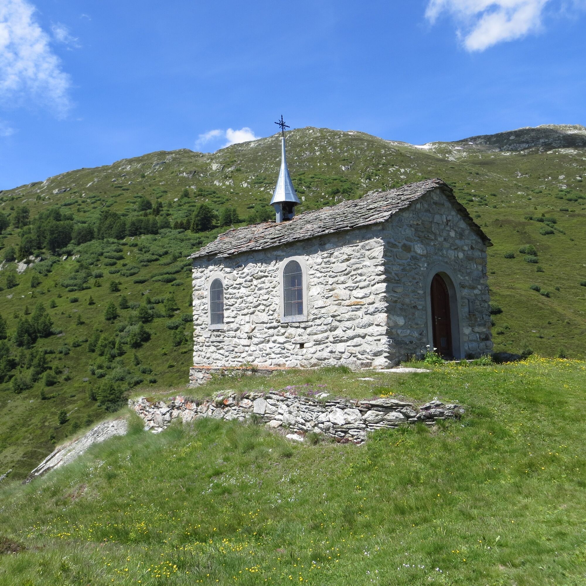
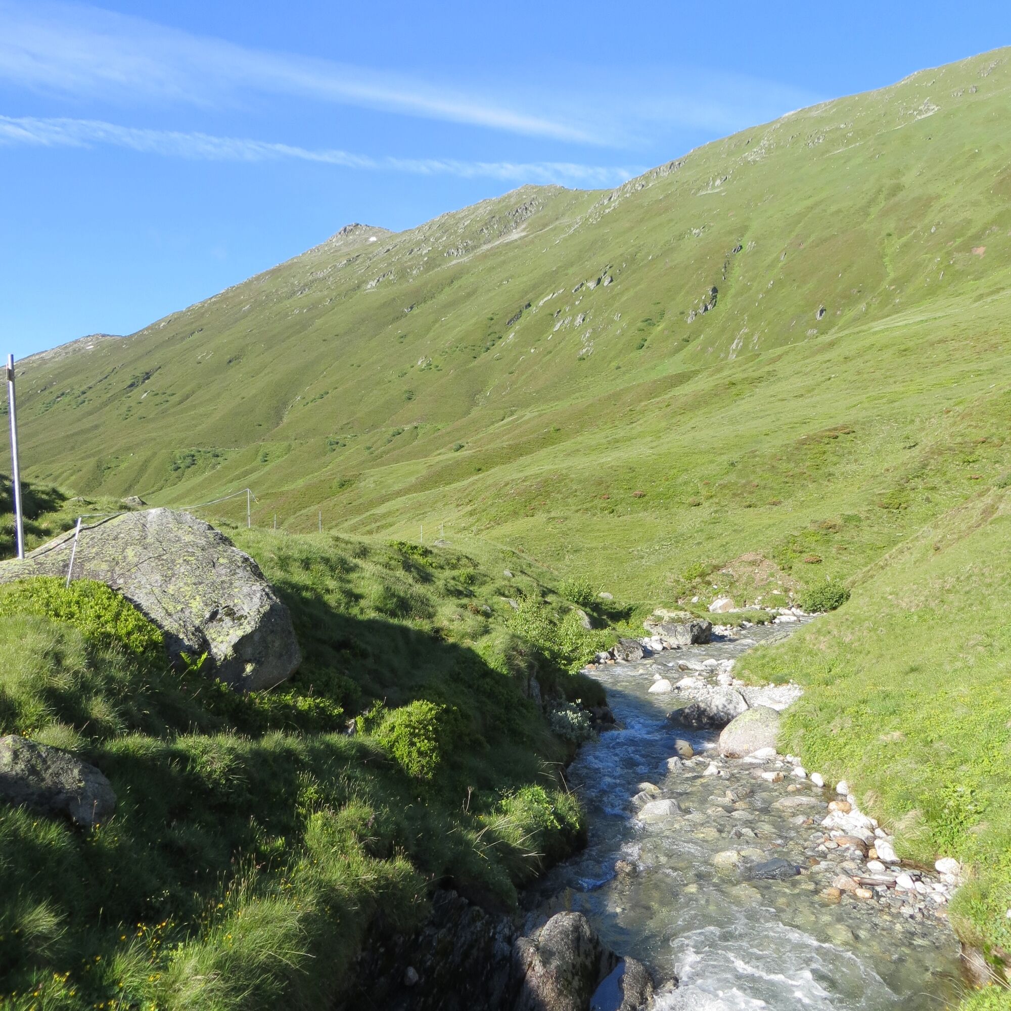
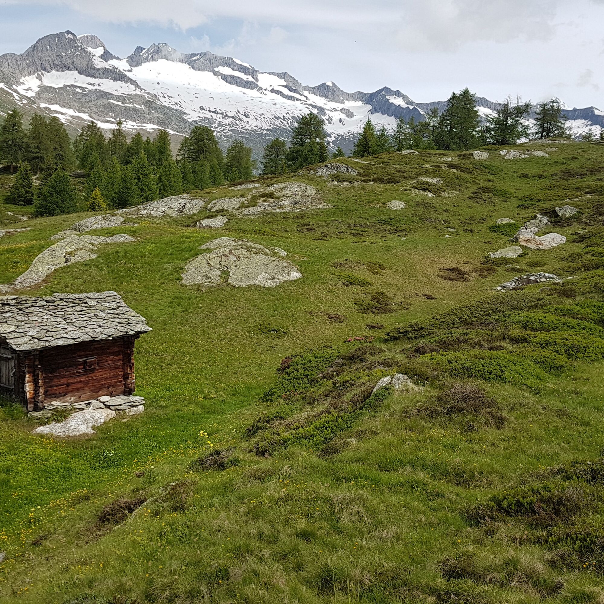
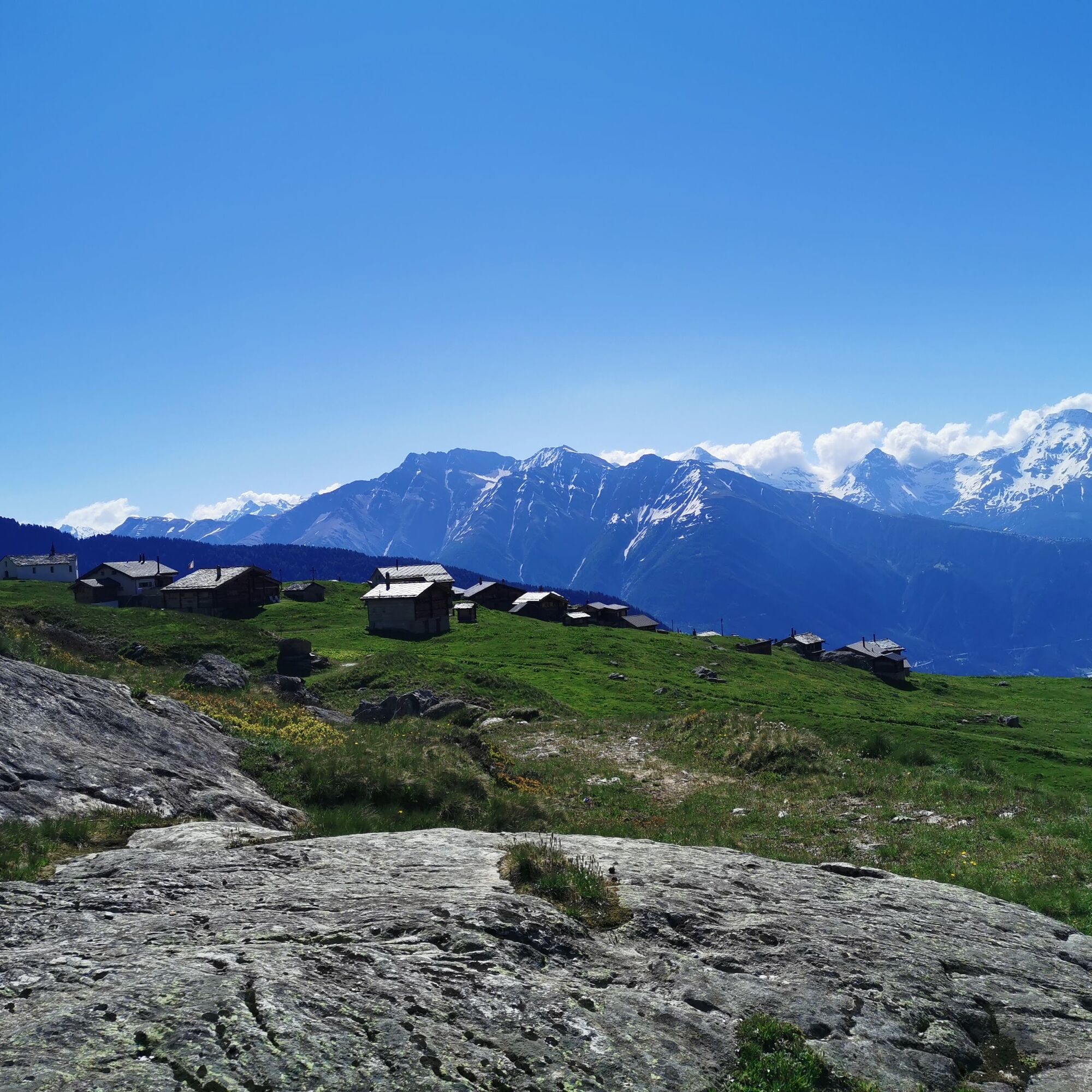
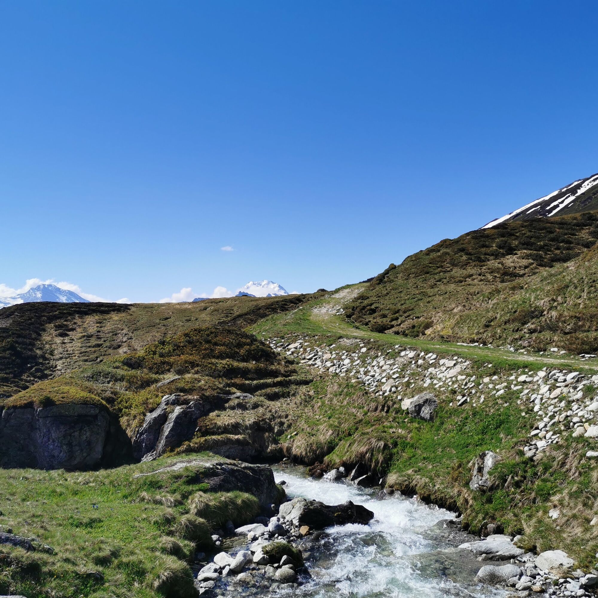
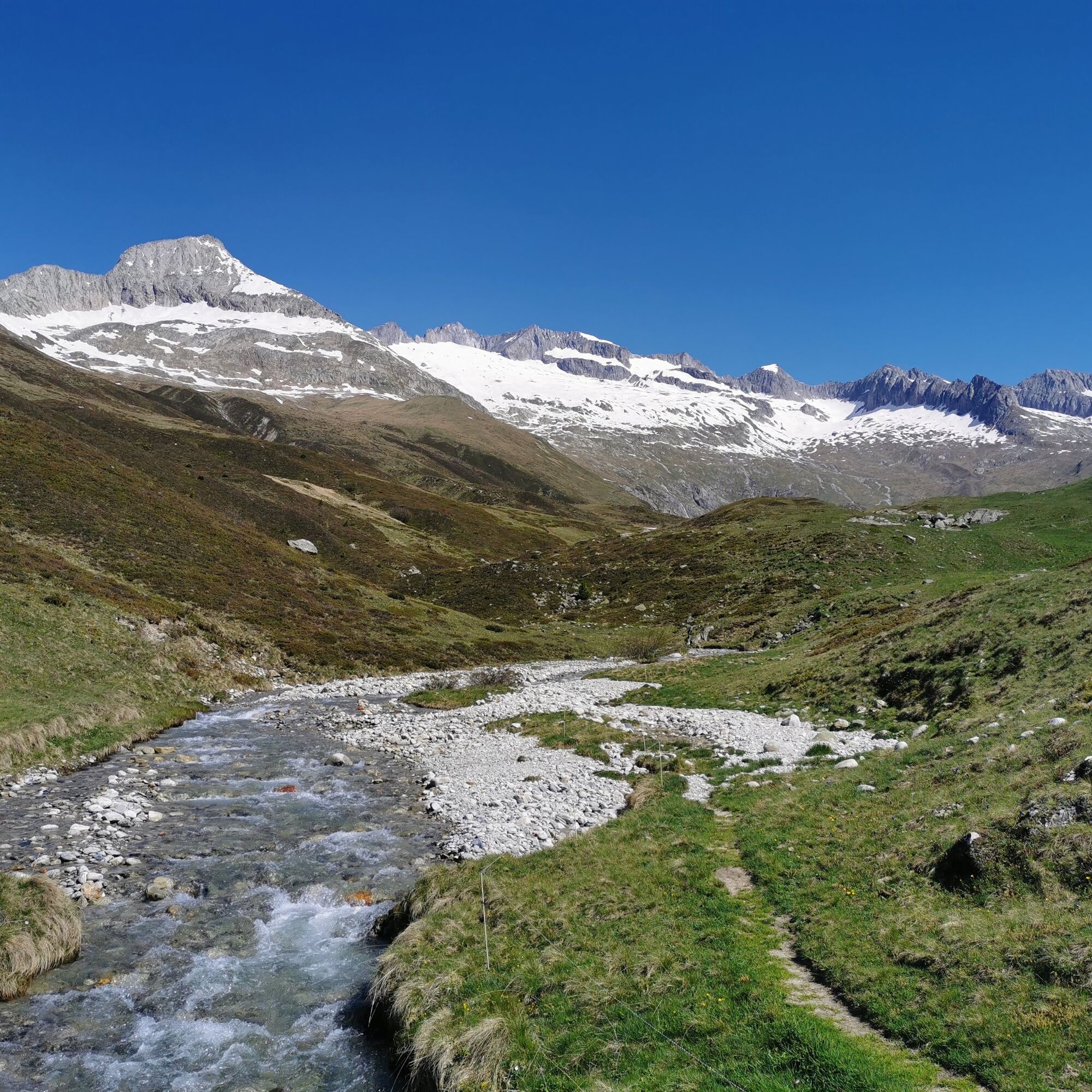
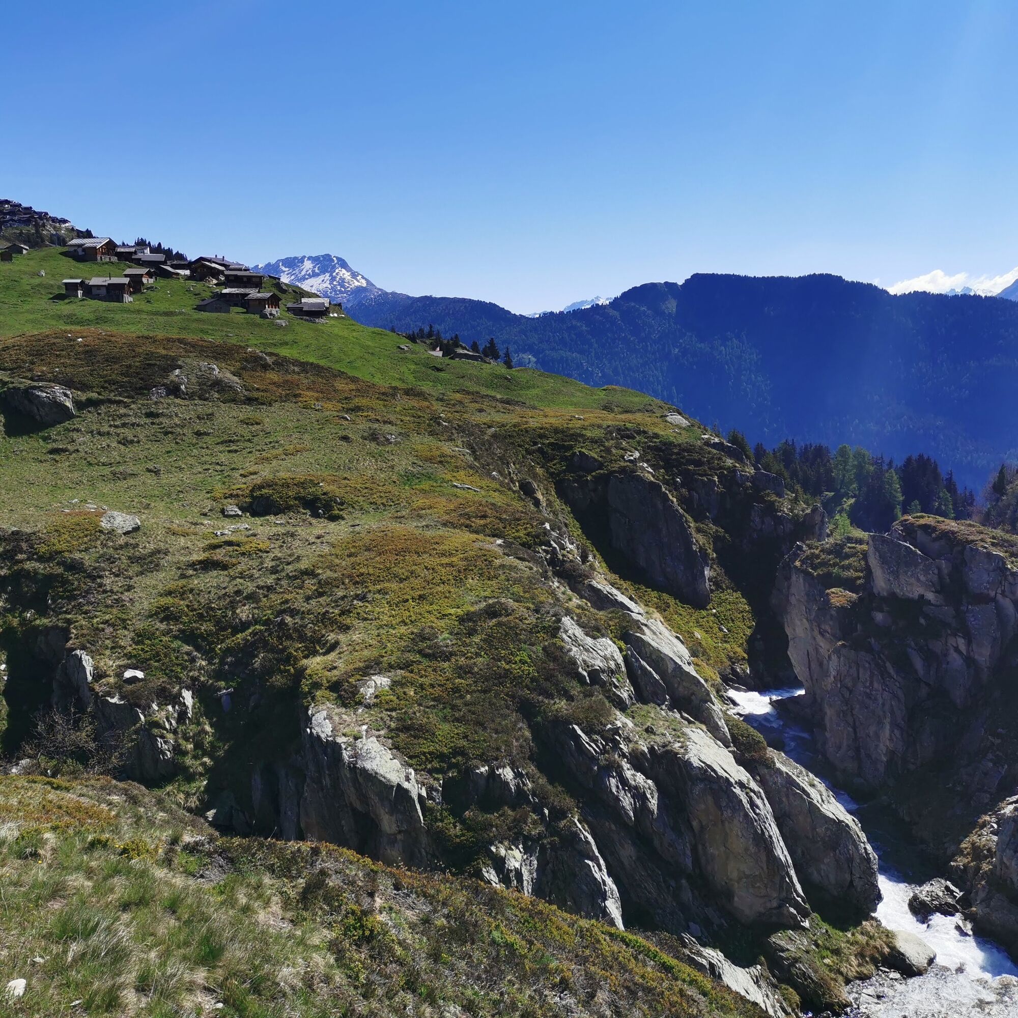
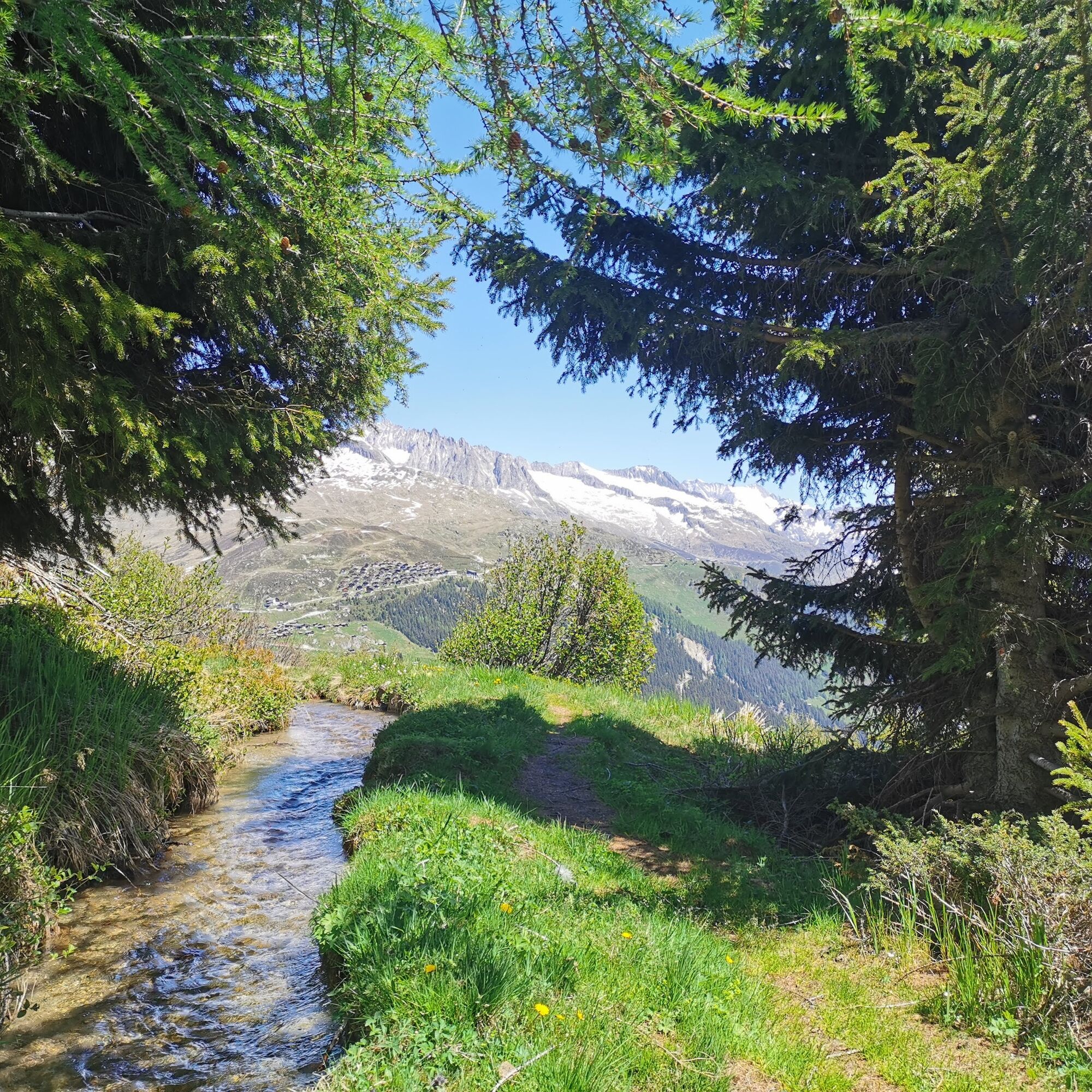
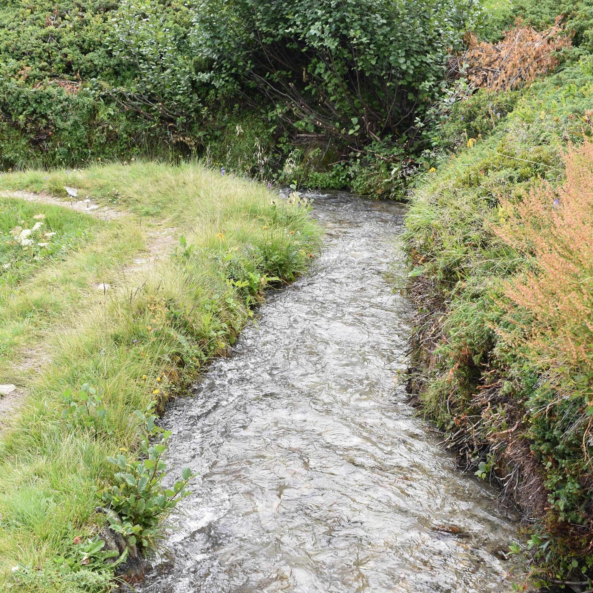
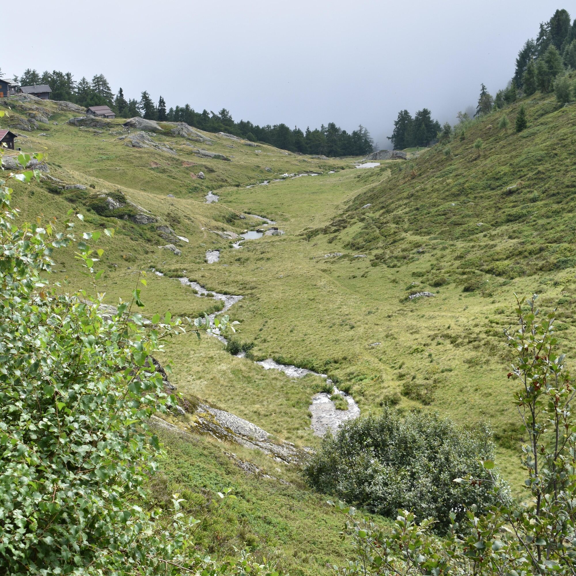
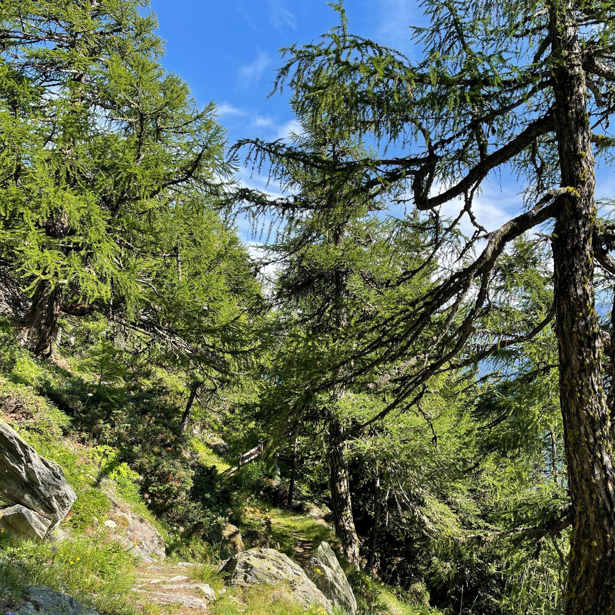
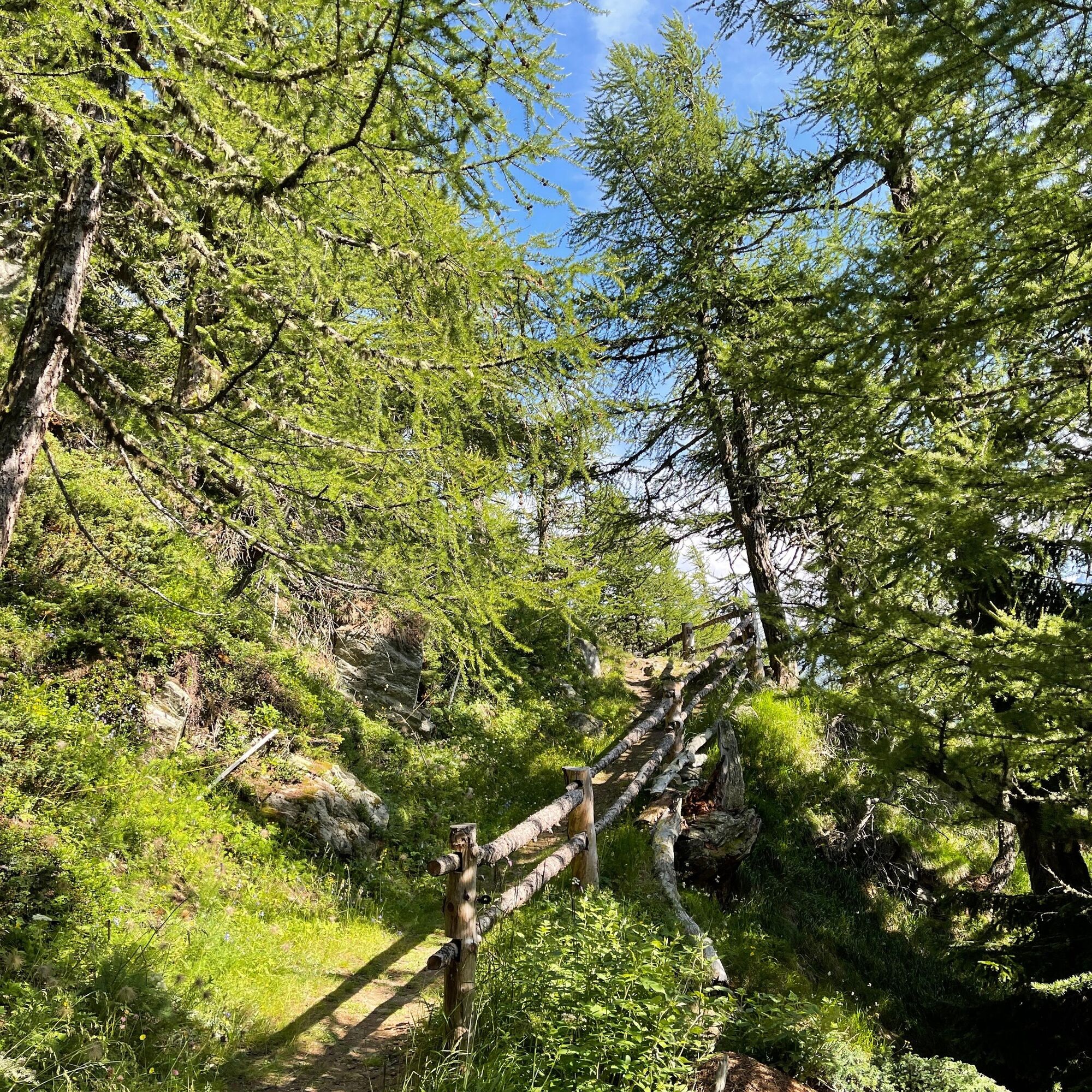
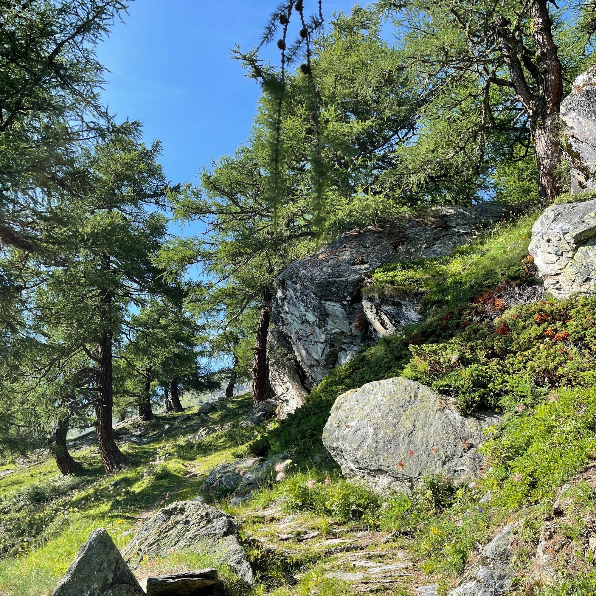
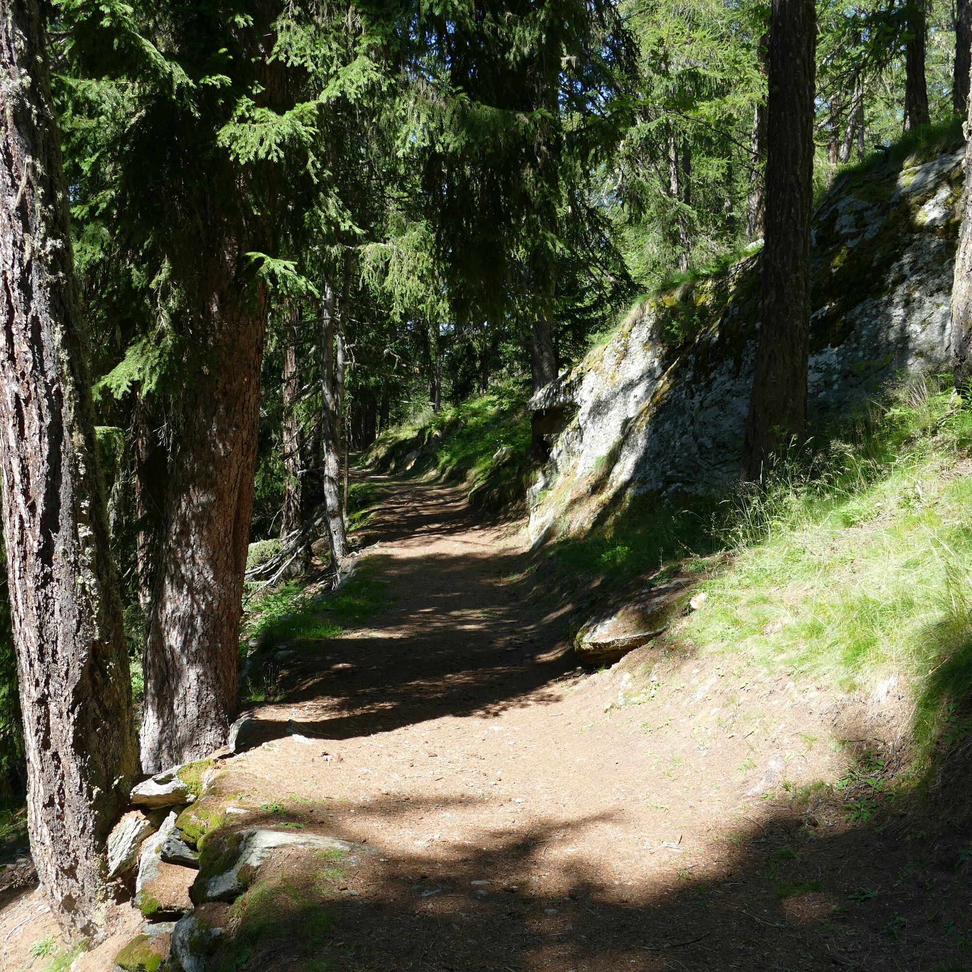
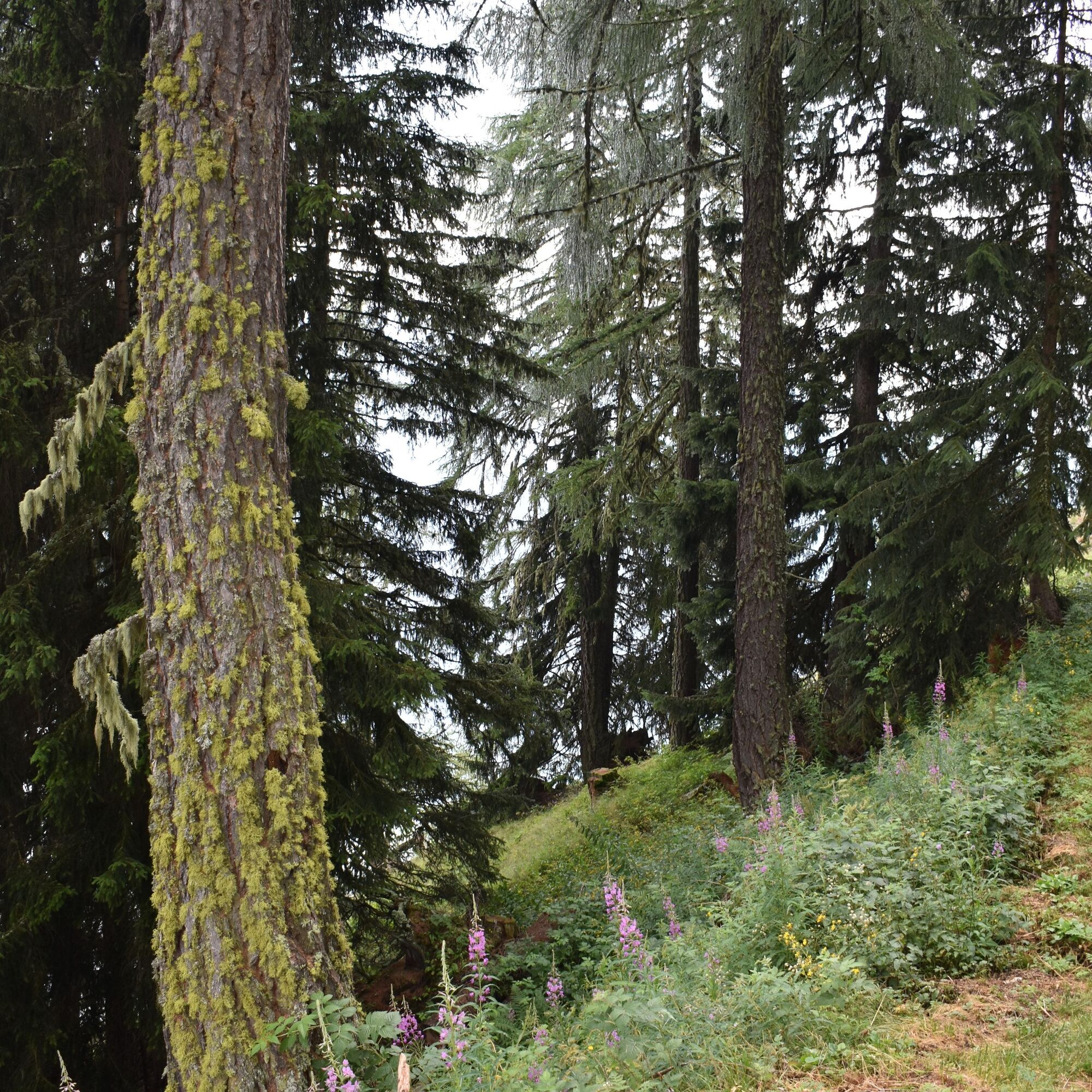
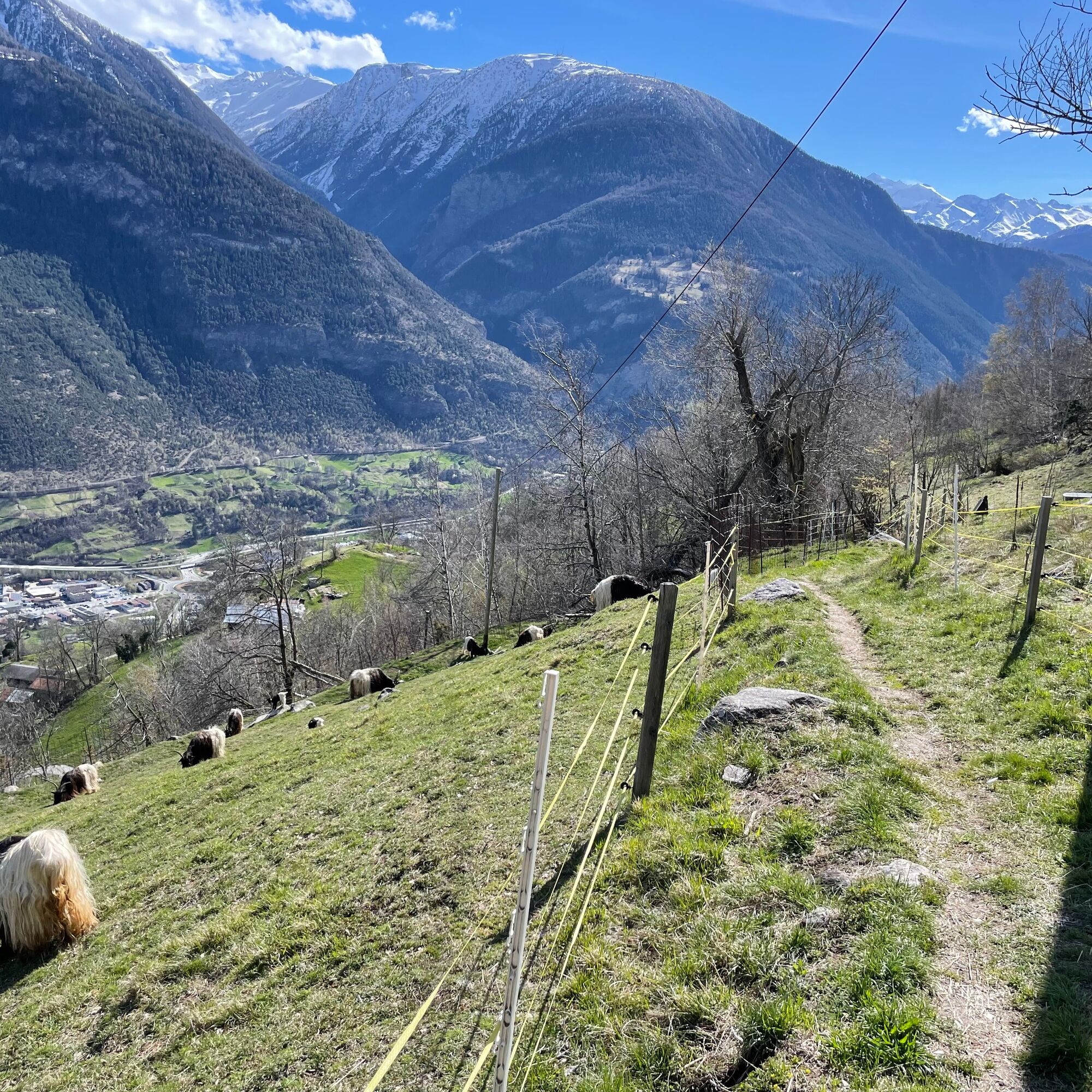
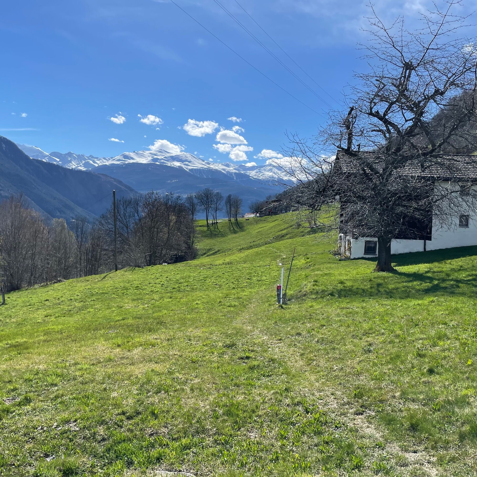
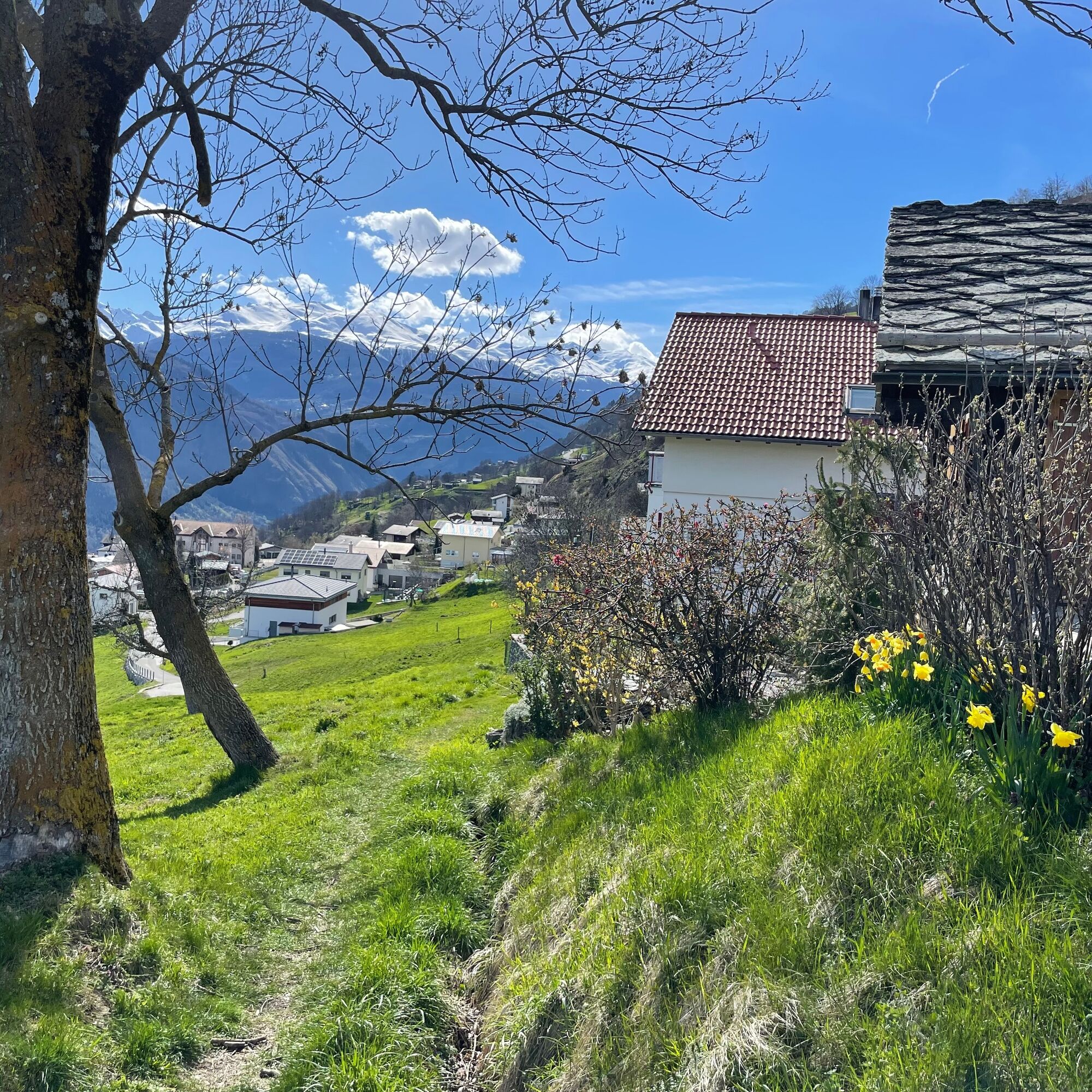

The hike begins at the mountain station of the shuttle or the gondola lift. Following the signposts, you proceed to Alpe Bäll and cross the Kelchbach. On the beautiful panoramic path, you now hike to Nesselalp. Through the Birgischerwald, you descend to the forest clearing "Chittumatte" and then continue over the beautiful alpine meadows to the village of Birgisch. The path to the mountain village is quite steep, but with sturdy footwear it is manageable.
Belalp - Alpe Bäll - Teiffi Schlülecht - Nessjeri - Alpe Nessel - Chittumatte - Birgisch
Tak
Tak
Sturdy footwear, weather-appropriate clothing, sun and rain protection, as well as sufficient supplies of food and drinks, should be carried in case no inns or shops are available or open. Although the path is very well marked throughout, for safety reasons you should always have a suitable hiking map with you. Take poles or other aids along.
Despite the "unmissable" marking of hiking trails, we always recommend carrying a suitable hiking map for safety reasons, so that you can quickly find a safe area in case of a thunderstorm or emergency.
Especially in autumn, you should also be aware that fallen leaves lying on the ground can conceal unevenness, roots, stones, or holes in the path. After storms, trees may still fall or branches may fall off. Especially in adverse weather conditions, natural paths can have muddy and slippery sections. You must expect such trail impairments when you go hiking.
Not all rocks or precipices are secured with ropes or railings. Sure-footedness is sometimes required. If you feel that certain trail sections are not passable for you, you should avoid them.
Arrival by car
From Western Switzerland: A9 Lausanne - Vevey, or Northwestern Switzerland: A12 Bern - Vevey: A9 - Sierre: main road Sierre - Brig
From Northwestern Switzerland: A6 Bern - Thun - Spiez: main road Spiez - Kandersteg (car shuttle Lötschberg tunnel) - Goppenstein - Gampel - Brig
From Eastern and Central Switzerland: Andermatt - Realp (year-round car shuttle Furka; in summer via Furka pass) - Oberwald - Brig
From Ticino (in summer): Airolo - Nufenen pass - Ulrichen – Brig
Or via Centovalli – Domodossola – Simplon pass – Brig
From Italy (Aosta, Mt. Blanc Tunnel): Aosta - Grand Saint Bernard tunnel (in summer via the pass) - Martigny: motorway A9 - Sierre: main road Sierre – Brig
Or via Domodossola – Simplon pass – Brig
Blatten near Naters
From Brig you can reach Blatten near Naters via Naters, then take the cable car to the car-free Belalp.
Birgisch / Mund
From Brig you can reach Birgisch and Mund via Naters.
Blatten-Belalp
Blatten near Naters can be reached from Brig or Naters by public transport.
You reach Belalp from Blatten by cable car.
Birgisch
Take the postal bus from Brig to the Birgisch parking lot and start your route there.
Timetable and further information on arrival can be found at: www.belalp.ch
Paid parking spaces are available at Chienzlichrommu and in the parking garage in Blatten near Naters.
Further information can be found at:
www.belalp.ch
If you have any questions, please contact:
Belalp Bahnen AG
bahnen@belalp.ch
+41 (0)27 921 65 10
Blatten - Belalp Tourismus AG
tourismus@belalp.ch
+41 (0)27 921 60 40
For those not afraid of heights and sure-footed, there is a spectacular viewpoint on Nesselalp.
Kamery internetowe z trasy

Popularne wycieczki w okolicy
- 4,9
Moosalp Panoramaweg
światłoWędrówka 6,36 km - 5,0
BELALP - SPARRHORN
ciężkiWędrówka 11,2 km - 4,9
SUSPENSION BRIDGE RIEDERALP - BELALP
średniWędrówka 11,5 km - 5,0
Rundwanderung Anenhütte
średniWędrówka 10,2 km UNESCO Höhenweg
Wędrówka 3,70 kmCIRCULAR HIKE MASSEGGA SUSPENSION BRIDGE
światłoWędrówka 6,44 km- 4,0
Eggishorn via ferrata
średniVia ferrata 1,39 km - 4,0
Höhenwanderung Rosswald
światłoWędrówka 6 km - 5,0
Panoramaweg Visperterminen
światłoWędrówka 9,72 km SUONEN CIRCULAR HIKE GREDETSCHTAL
średniWędrówka 7,45 km
Wędrówki i tropienie


Nie przegap ofert i inspiracji na następne wakacje
Twój adres e-mail została dodana do listy mailingowej.





