






Village Loop – Saas-Fee
Poziom trudności: T1
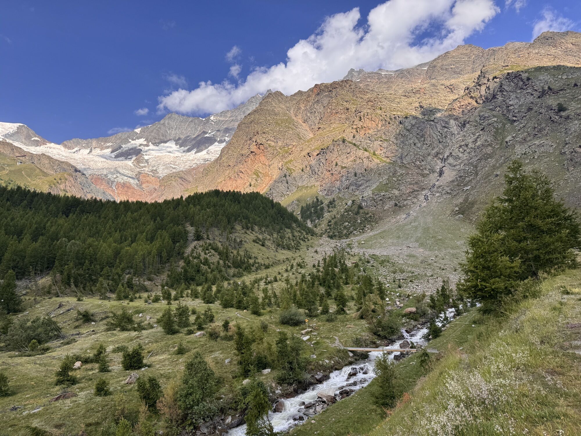
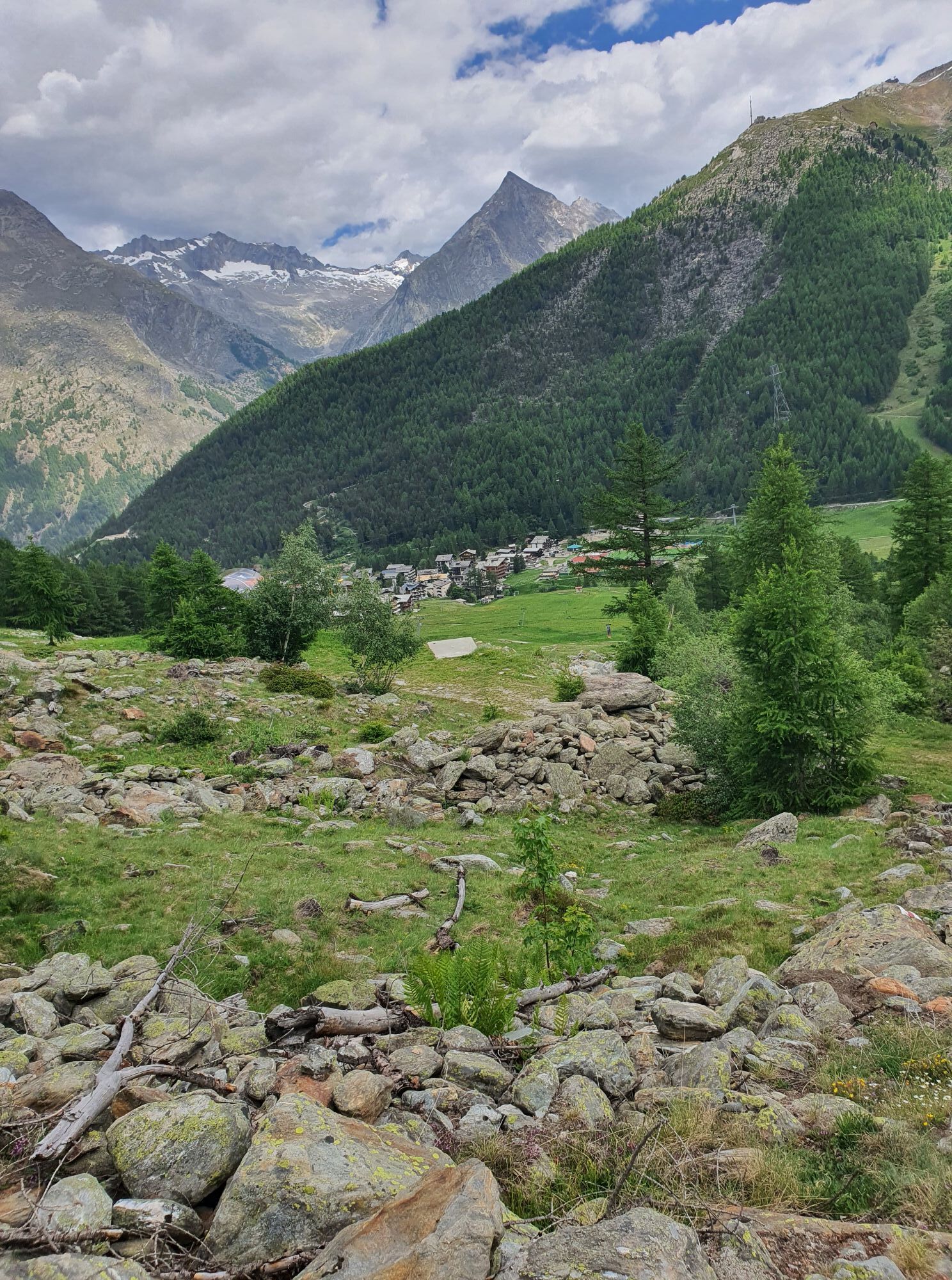
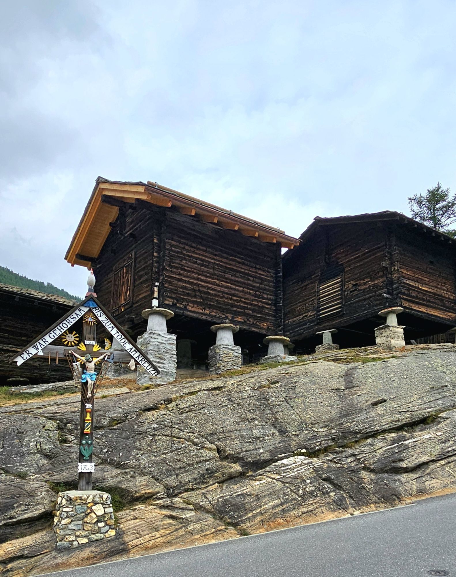
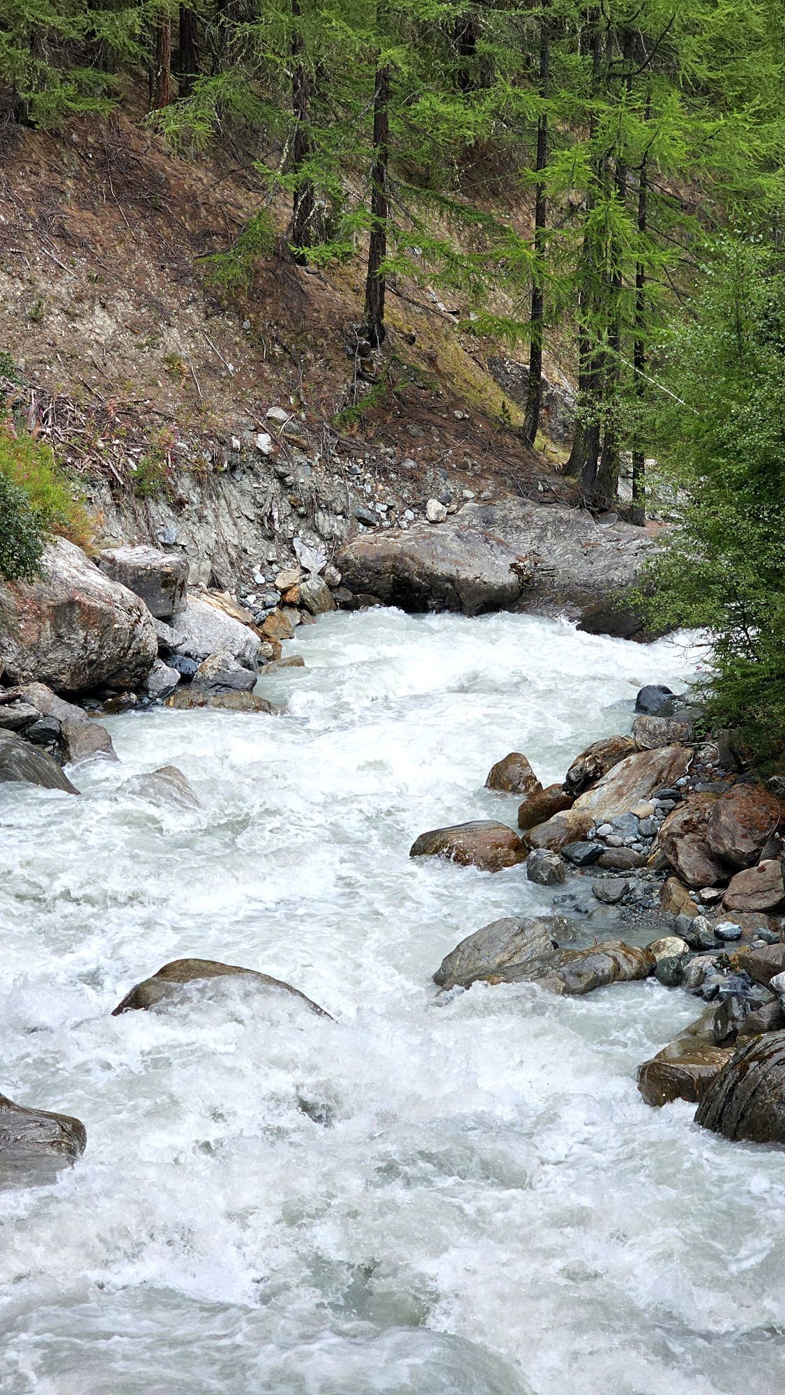
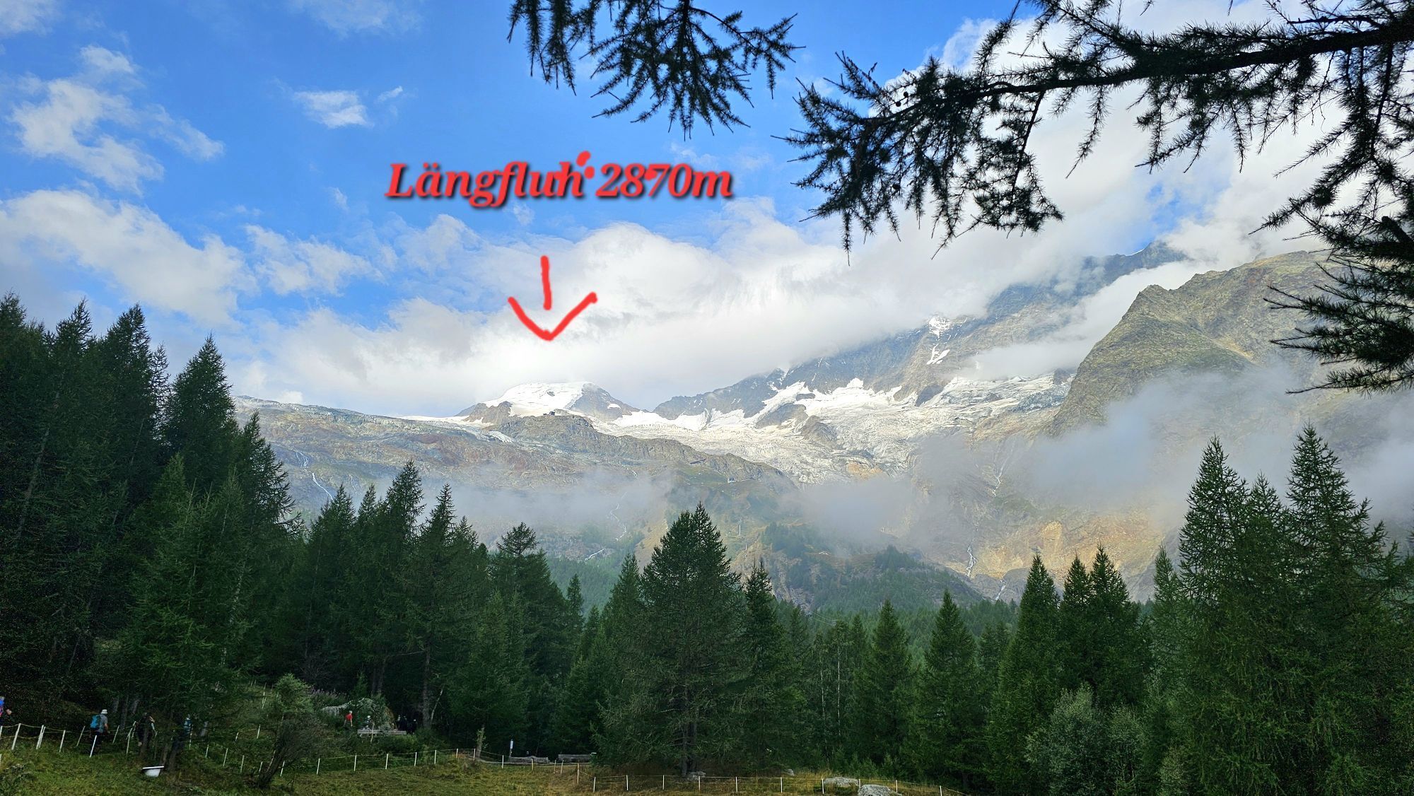
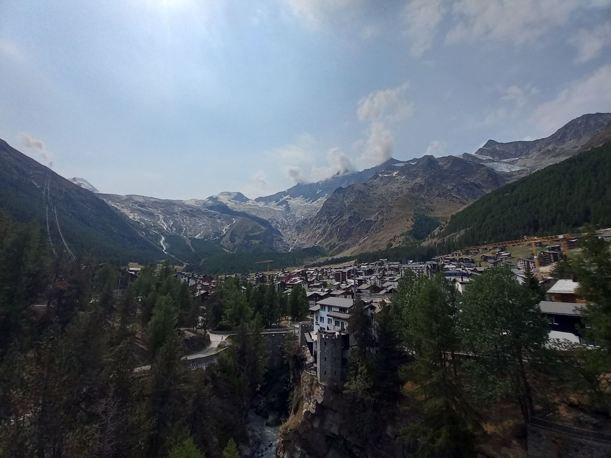
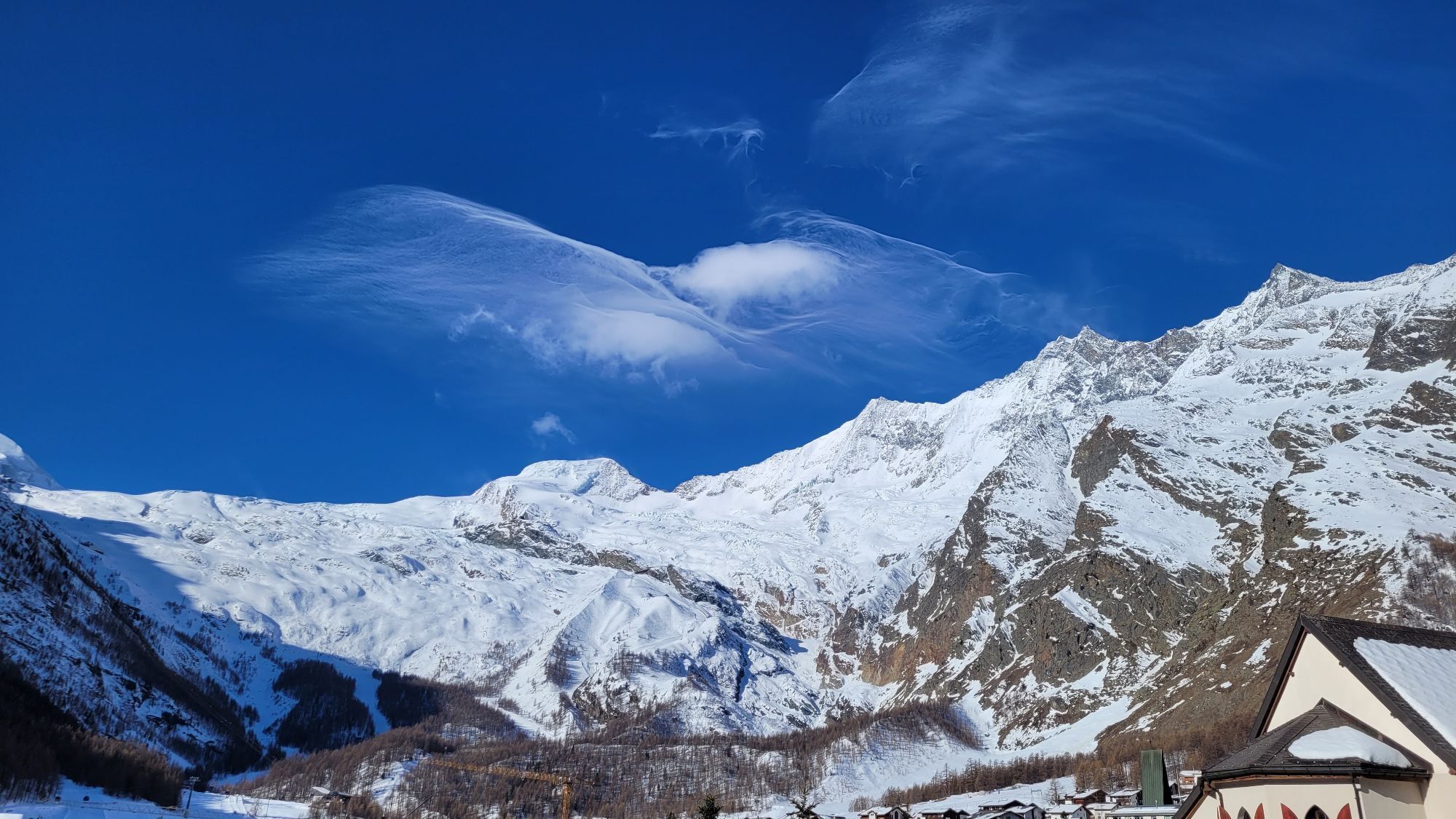
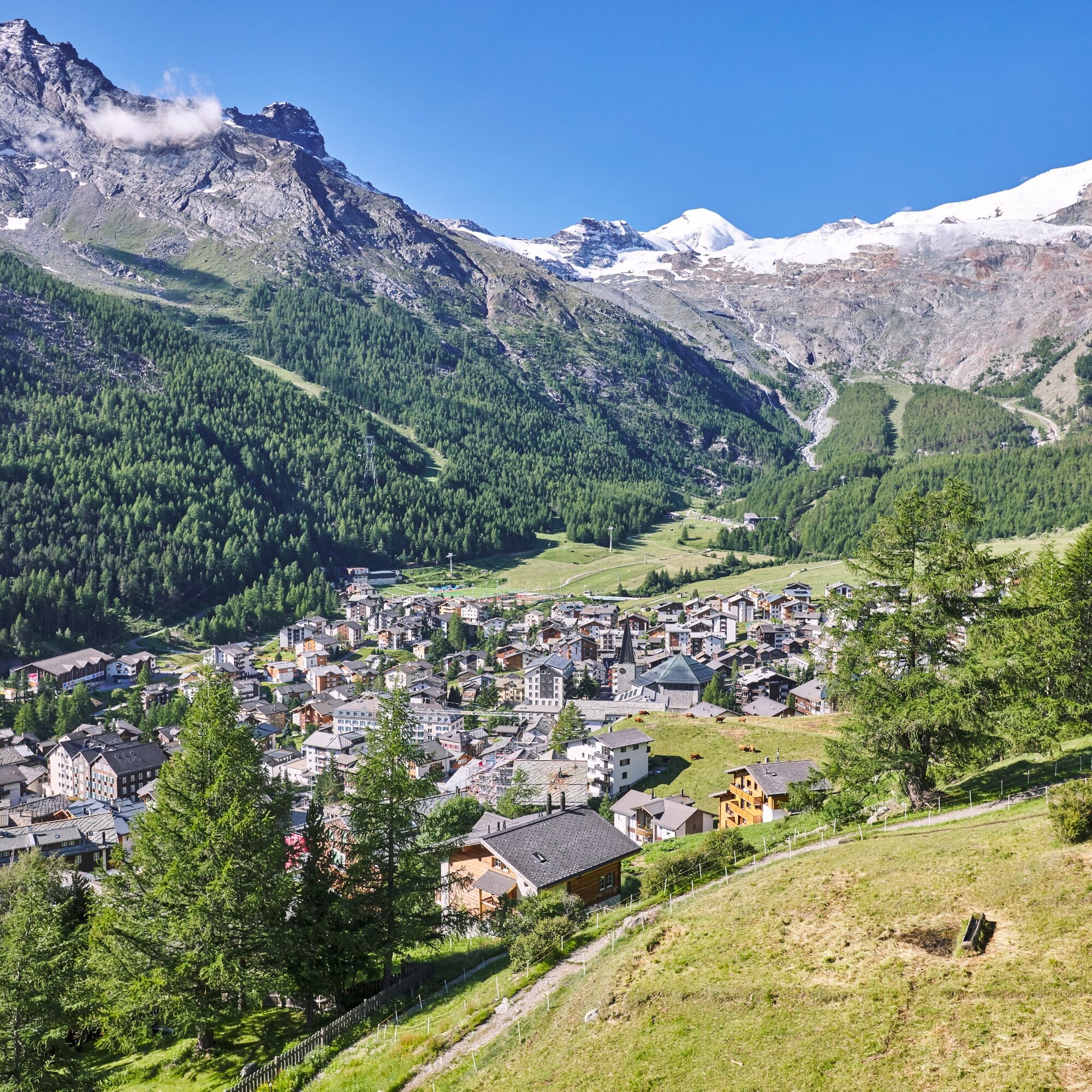
Set slightly above the village Saas-Fee, the village loop trail leads without much of an ascent along hiking trails, forest and village roads.
The trail starts at the Postrondell and leads you via Lomattenstrasse...
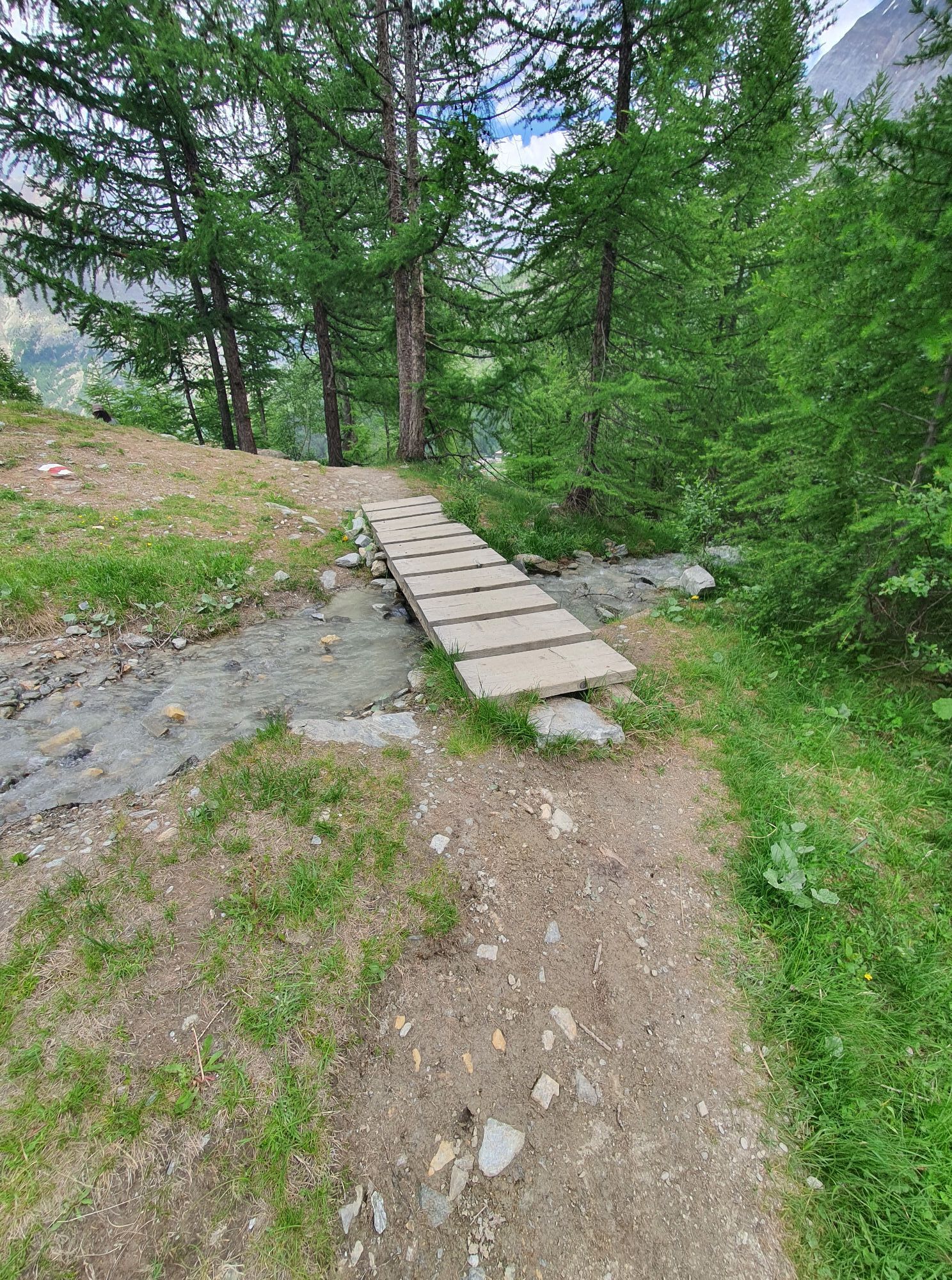
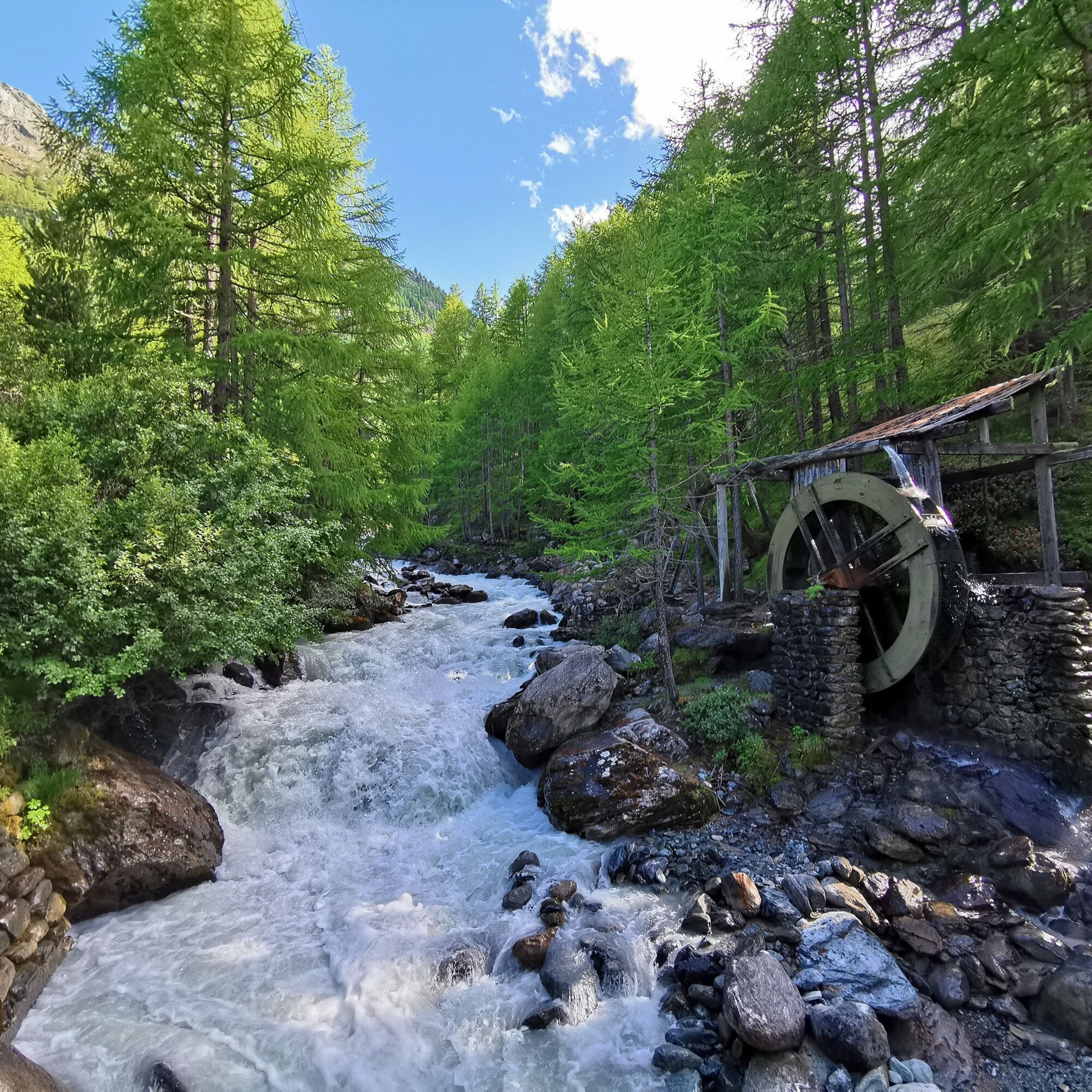
The trail starts at the Postrondell and leads you via Lomattenstrasse to the hamlet Wildi. From the Wildi you go to the Hohneggu on a wider path in the direction of Leebodu. Here a few places invite you to linger. You walk past the barbecue sites at "Hinner de Zy" and then cross the stream. Directly after the bridge, a hiking trail leads into the forest, which takes you to a water mill and the Felskinn valley station.
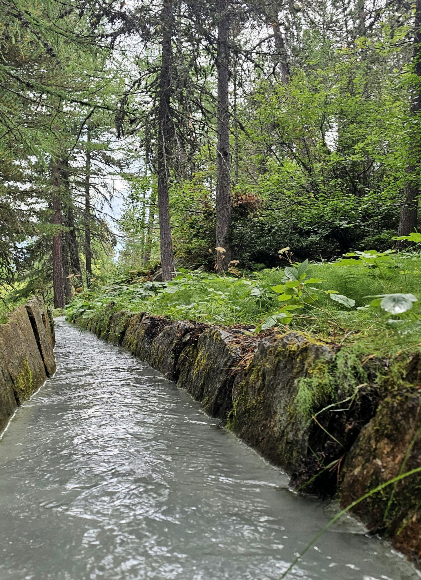
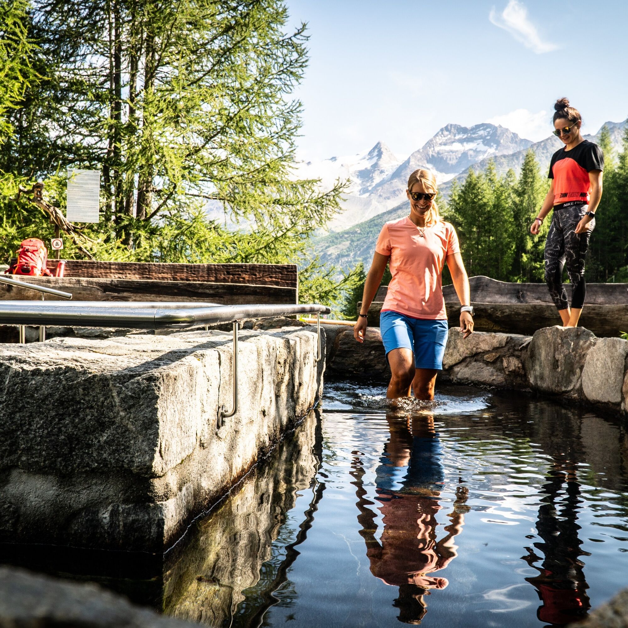
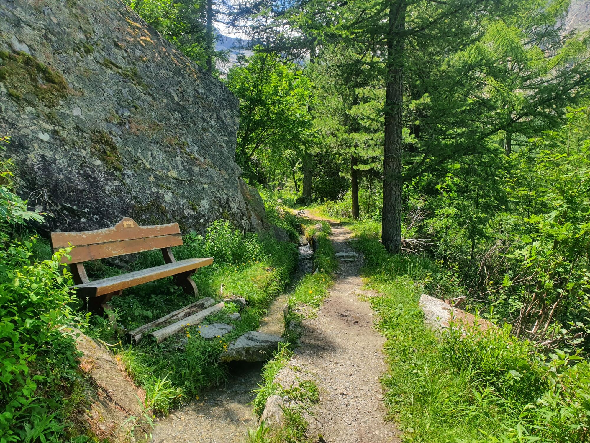
From here you follow the forest path that runs above the Plattjen and Spielboden valley stations and reach a suone (water pipe), which leads over the Kneipp facility to the Saas-Almagell forest path. Cross the panorama bridge and return to the post office square.

Busterminal - Wildi - Bärufalla - Mälchbodo - Obere Hohenegg - Alte Hohenegg - Oberer Hoheneggweg - Stafelwald - Tunnel - Lawinenmauer - Lehnlift - Damm - Wassermühle - Talstation Felskinn - Wasserleitung - Busterminal
Tak
Good footwear
Outdoor clothing: Always carry a waterproof jacket
Sun protection
Liquids and food
Hiking poles (optional)
Navigation tool
First aid kit
Use of the trails and the information on this website is at hikers’ own risk. Local conditions may entail changes to routes.
Use marked trails only, and observe all signposting – for your own safety, to safeguard grazing animals and to avoid disturbing wildlife.
Please be considerate to other trail users, and to the plants and animals. Do not leave any waste in nature.
Take extra care protecting yourself from the sun at altitude. UV radiation can be exceptionally strong, even in cloudy weather.
Plan hike carefully: take into consideration fitness level of each participant, weather forecast and season.
Weather conditions can change quickly in the mountains, without warning. Appropriate clothing is therefore essential, along with adequate supplies of food and water. In uncertain weather, turn back in good time.
Do not venture onto glaciers without a mountain guide.
Take note of the warning signs that point out the constant danger, especially the danger of avalanches.
Inform others of planned route, and whenever possible, avoid going alone.
Pay attention to the opening hours of the cable cars.
Saas-Fee/Saastal can easily be reached by car from all directions, whether from Switzerland or abroad. You can reach us via Bern via the Lötschberg car transport from the north. You come over the Furka Pass or the Furka car transport from the east. From the south, you can reach us via the Simplon Pass or Simplon car transport, and from the west, you drive via Lausanne along the Rhône valley to Visp and towards Saas-Fee. From Visp, drive south in the direction of Saas-Fee. At the "Killerhof" roundabout after Stalden, take the second exit towards Saas-Fee. In Saas-Grund, turn right after the church in the direction of Saas-Fee.
Take the SBB to Visp and change there to the post bus in the direction of Saas-Fee (bus 511).
You will find parking spaces in the car park directly at the entrance of Saas-Fee.
T1
Obere Dorfstrasse 2
3906 Saas-Fee
Phone.: +41 (0)27 958 18 58
E-Mail: info@saas-fee.ch
www.saas-fee.ch
Take a break at the Kneipp facility and allow your feet a rest
 Uzyskaj wgląd
Zawsze na żywo z ponad 9 500 kamer internetowych. bergfex Jako użytkownik Pro, możesz teraz zobaczyć odpowiednie kamery internetowe dla wielu wycieczek w aplikacji wycieczki od. Pozwala to na bezpośredni podgląd aktualnych warunków.
Uzyskaj wgląd
Zawsze na żywo z ponad 9 500 kamer internetowych. bergfex Jako użytkownik Pro, możesz teraz zobaczyć odpowiednie kamery internetowe dla wielu wycieczek w aplikacji wycieczki od. Pozwala to na bezpośredni podgląd aktualnych warunków.
Popularne wycieczki w okolicy
-
4,9
Allalinhorn vom Mittelallalin über Normalweg
średniWycieczka wysokogórska 6,15 km -
3,3
Europaweg Grächen - Europahütte - Zermatt
ciężkiWędrówka 39,9 km -
3,6
Höhenweg Kreuzboden - Almagelleralp - Saas-Almagell
Wędrówka 9,74 km -
3,5
Waldweg Saas-Fee - Saas-Almagell
Wędrówka 2,83 km -
3,8
Höhenweg Saas-Fee - Grächen
Wędrówka 12,0 km -
5,0
Weissmies Südgrat von Saas Almagell
średniWycieczka wysokogórska 20,5 km -
5,0
Marmot mountain path Spielboden
średniWędrówka 3,89 km -
5,0
Via ferrata Jägihorn
ciężkiVia ferrata 6,14 km -
4,6
Gspon high-altitude route
średniWędrówka 13,9 km -
5,0
Ibex path
średniWędrówka 9,02 km
Wędrówki i tropienie


Nie przegap ofert i inspiracji na następne wakacje
Twój adres e-mail została dodana do listy mailingowej.





