







Behind the Mittaghorn
Poziom trudności: T3
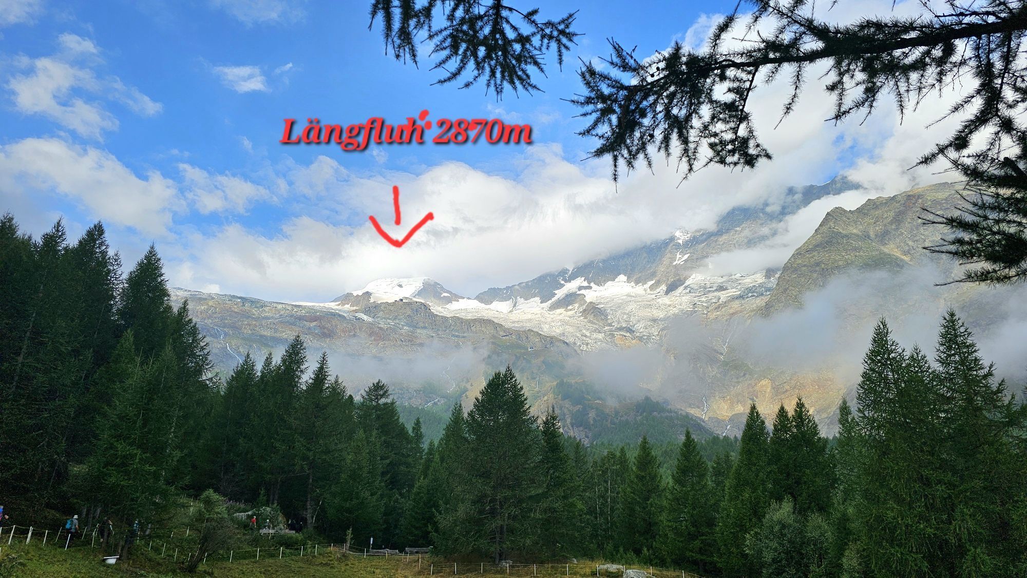
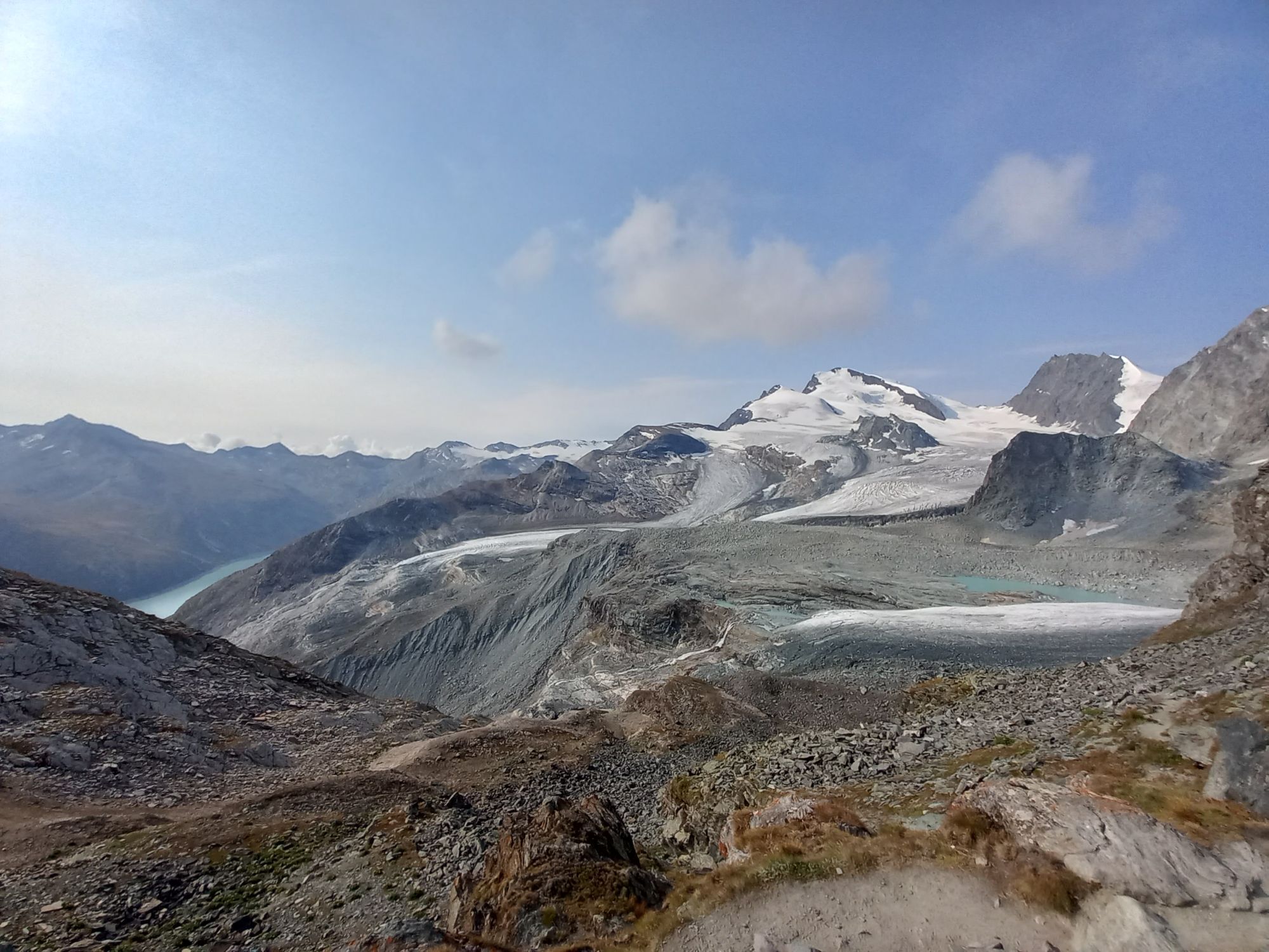
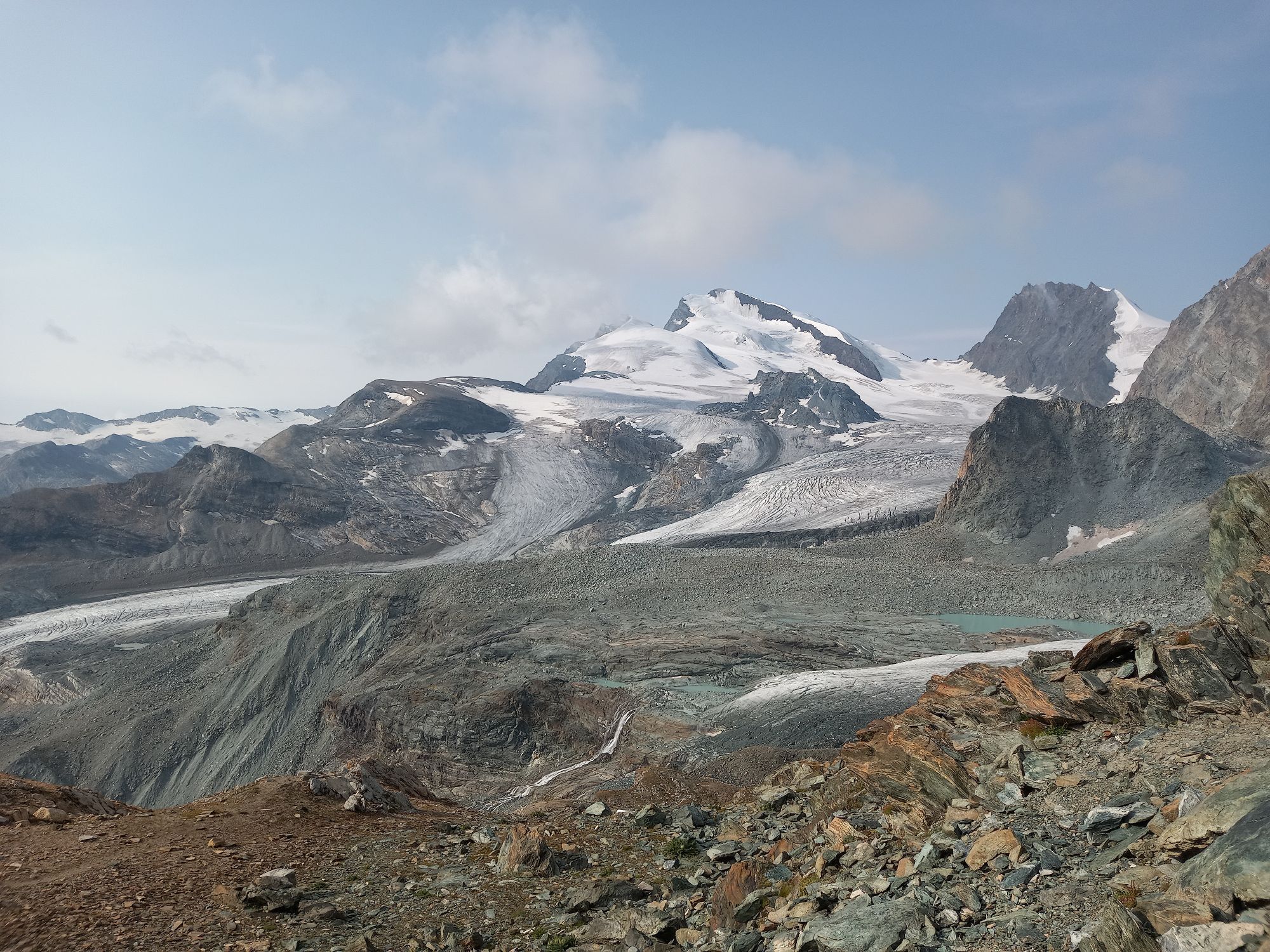
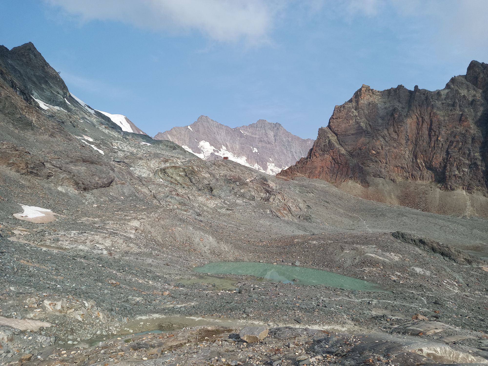
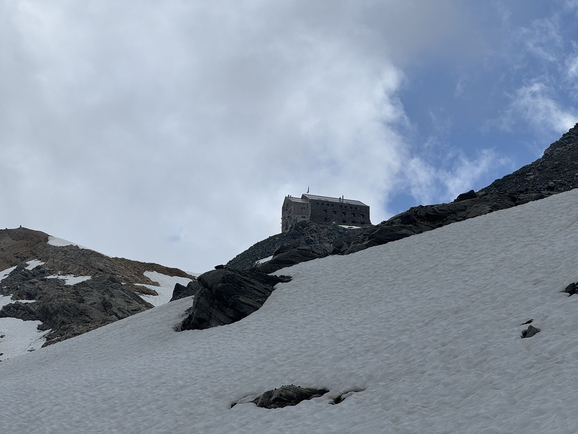
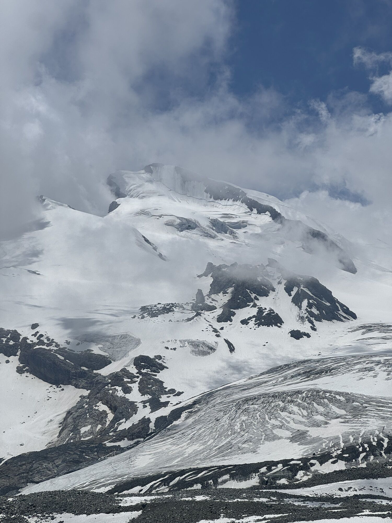
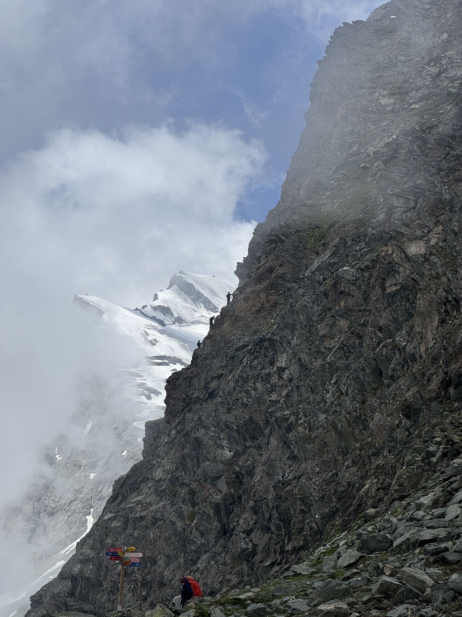
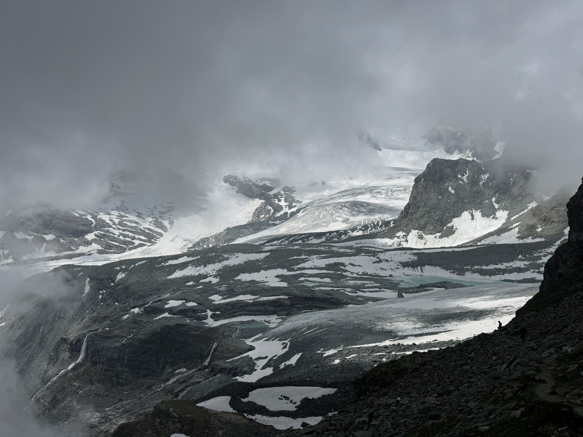
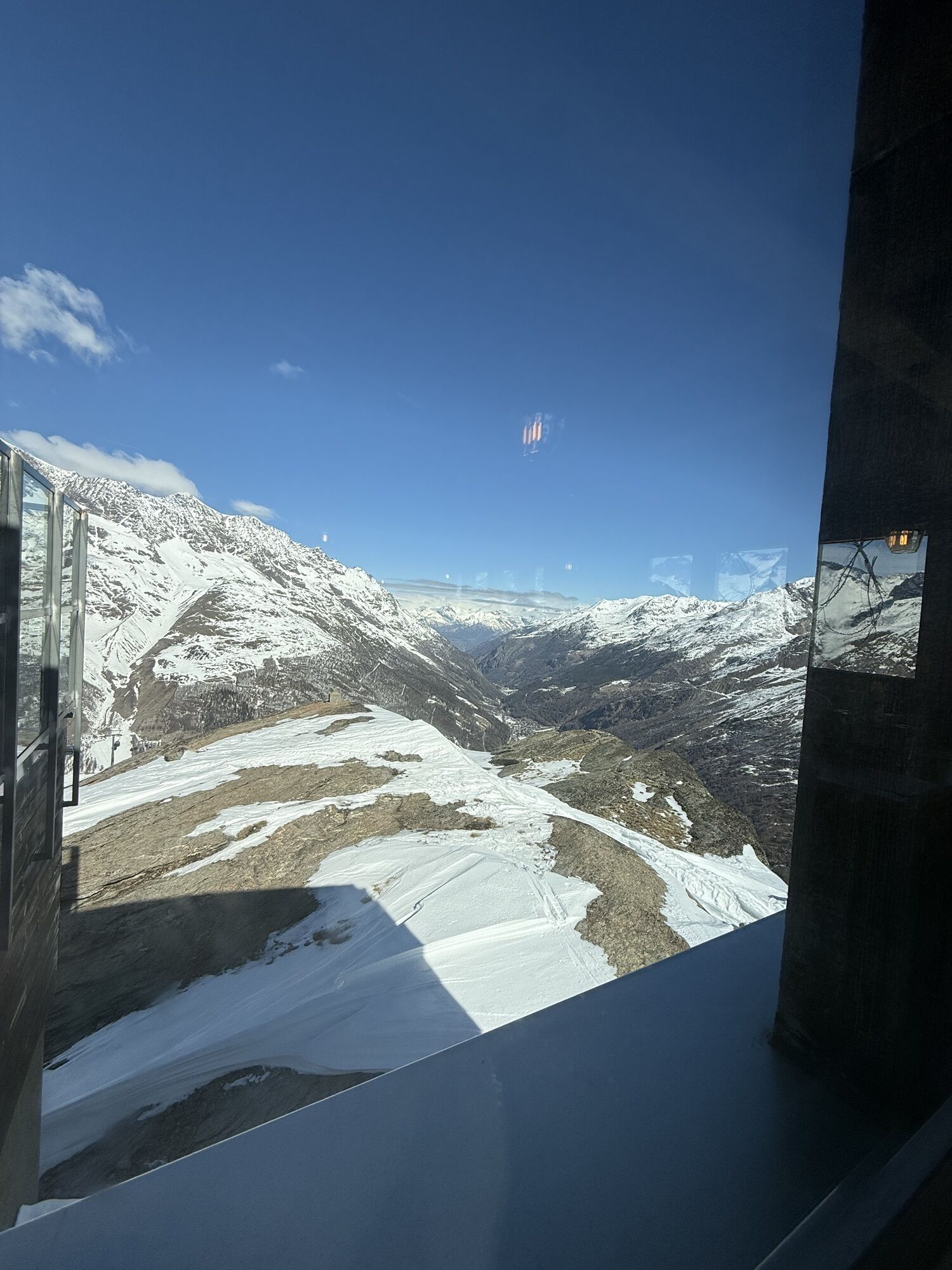
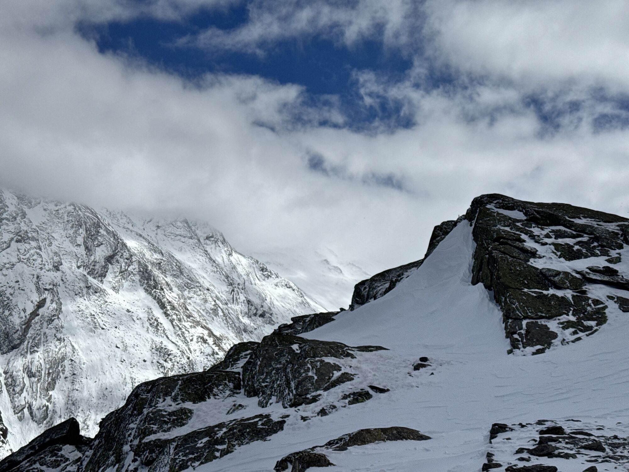
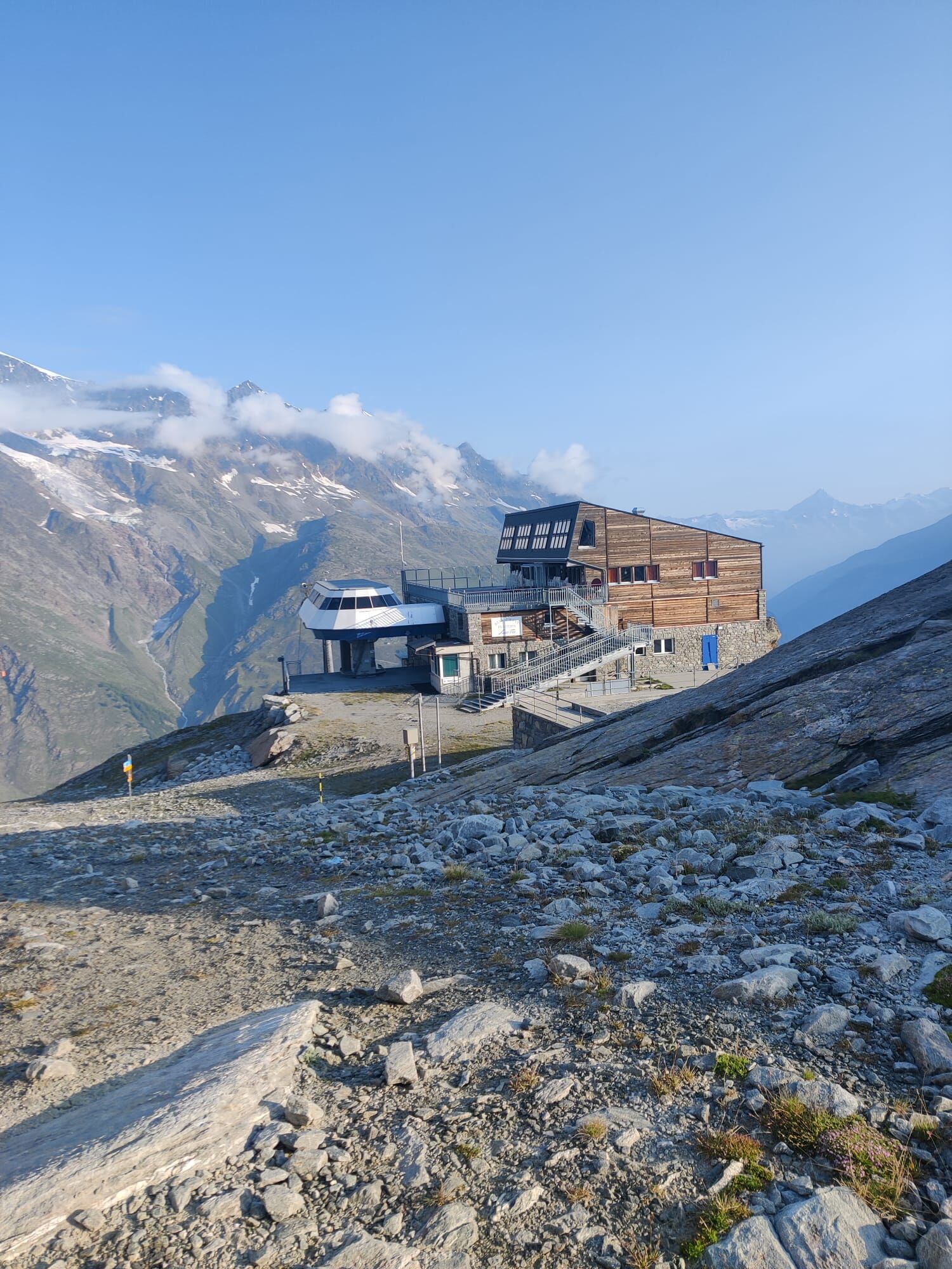
The hike begins at the Morenia mountain station and leads to the Egginerjoch. At the Egginerjoch, the path branches off to the right and follows along the rock face to the end of the plateau. At the fork...
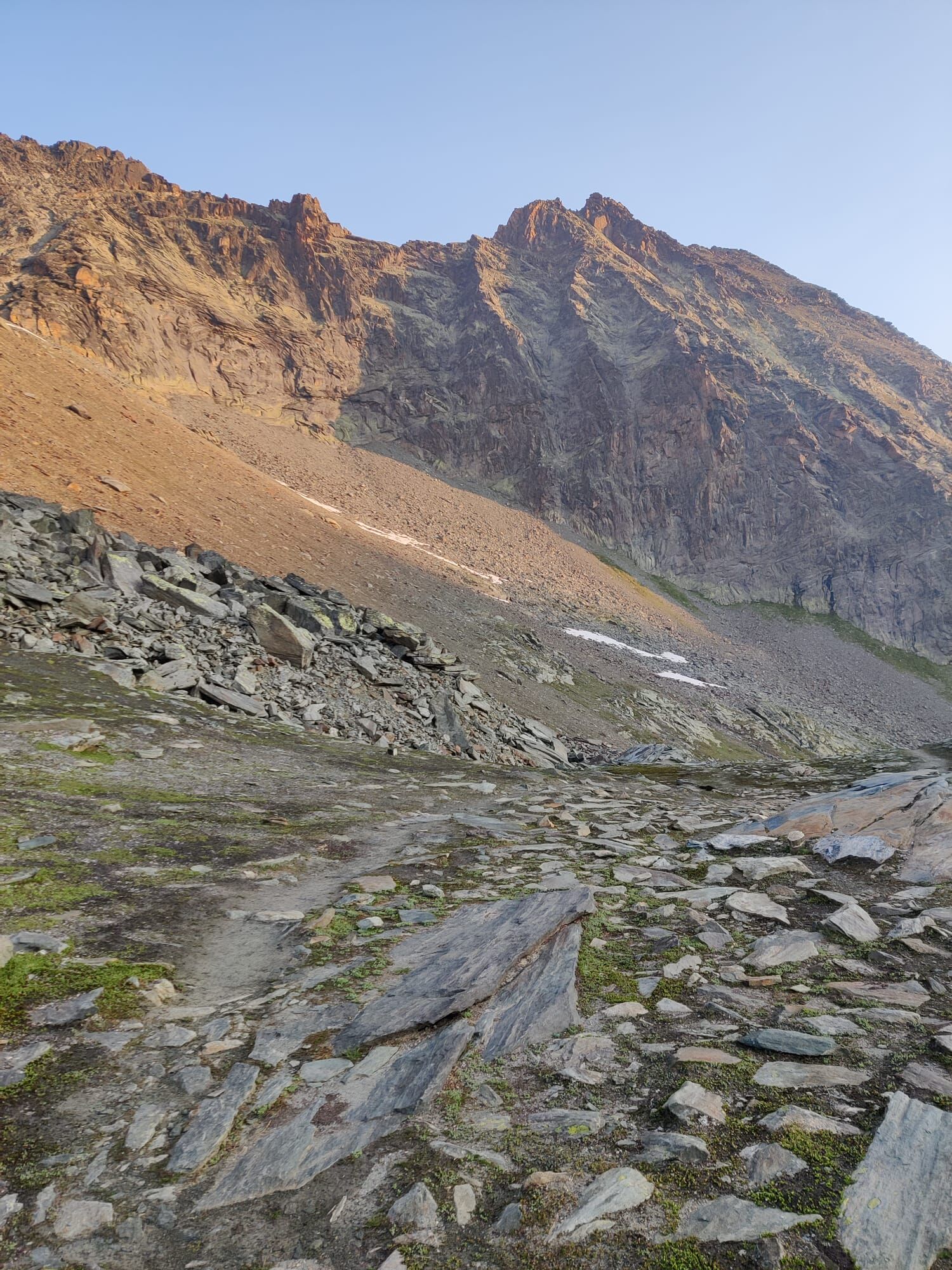
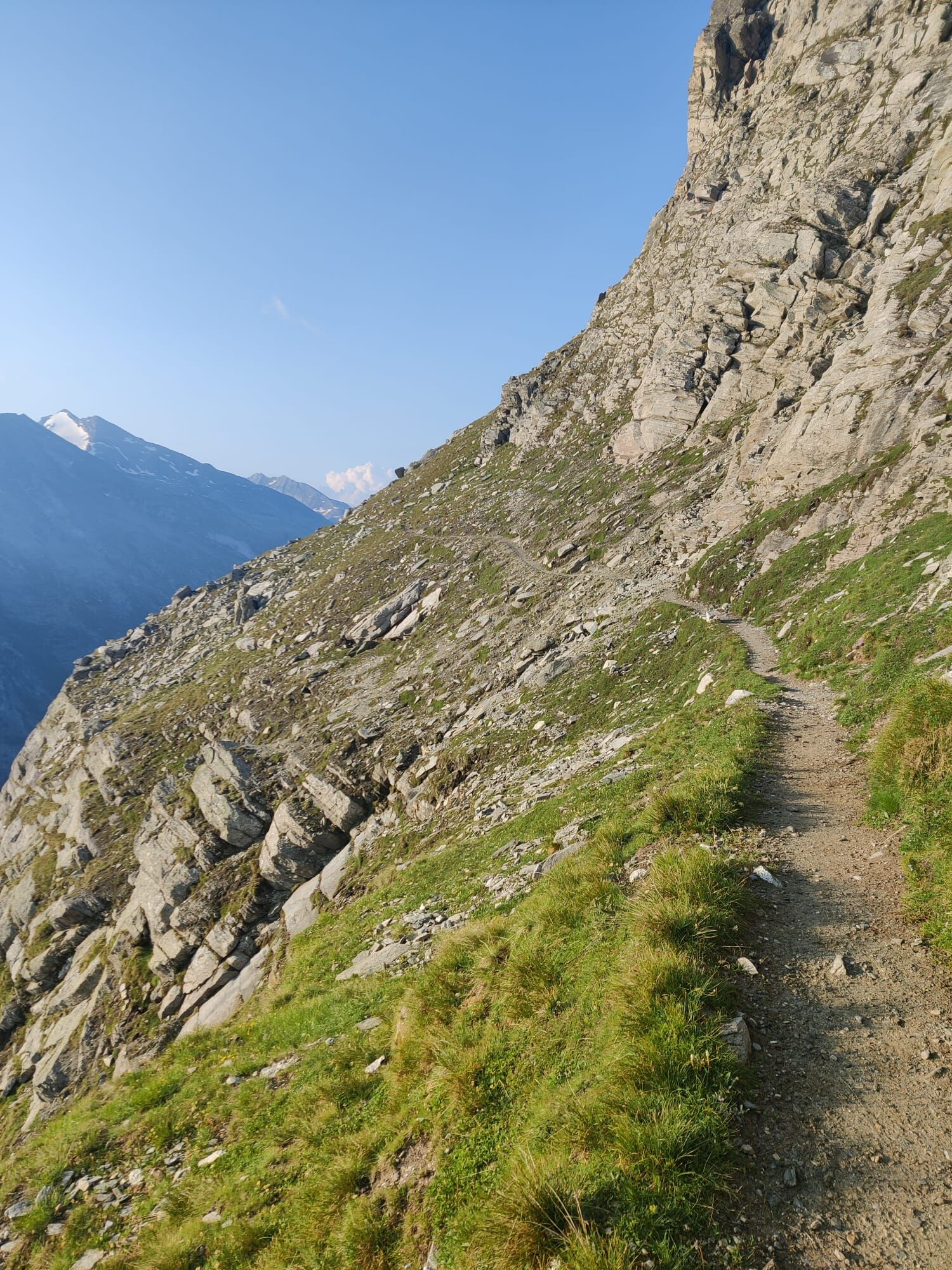
The hike begins at the Morenia mountain station and leads to the Egginerjoch. At the Egginerjoch, the path branches off to the right and follows along the rock face to the end of the plateau. At the fork at Heidefridhof, the path continues north. Attention, the path leads over a lot of rubble and rock slabs. Watch for the markings. The path ends at Plattjen directly below the Mittaghorn. From Plattjen, the path "In the footsteps of the Saas-Fee Ski World Cup" zigzags down to Saas-Fee.
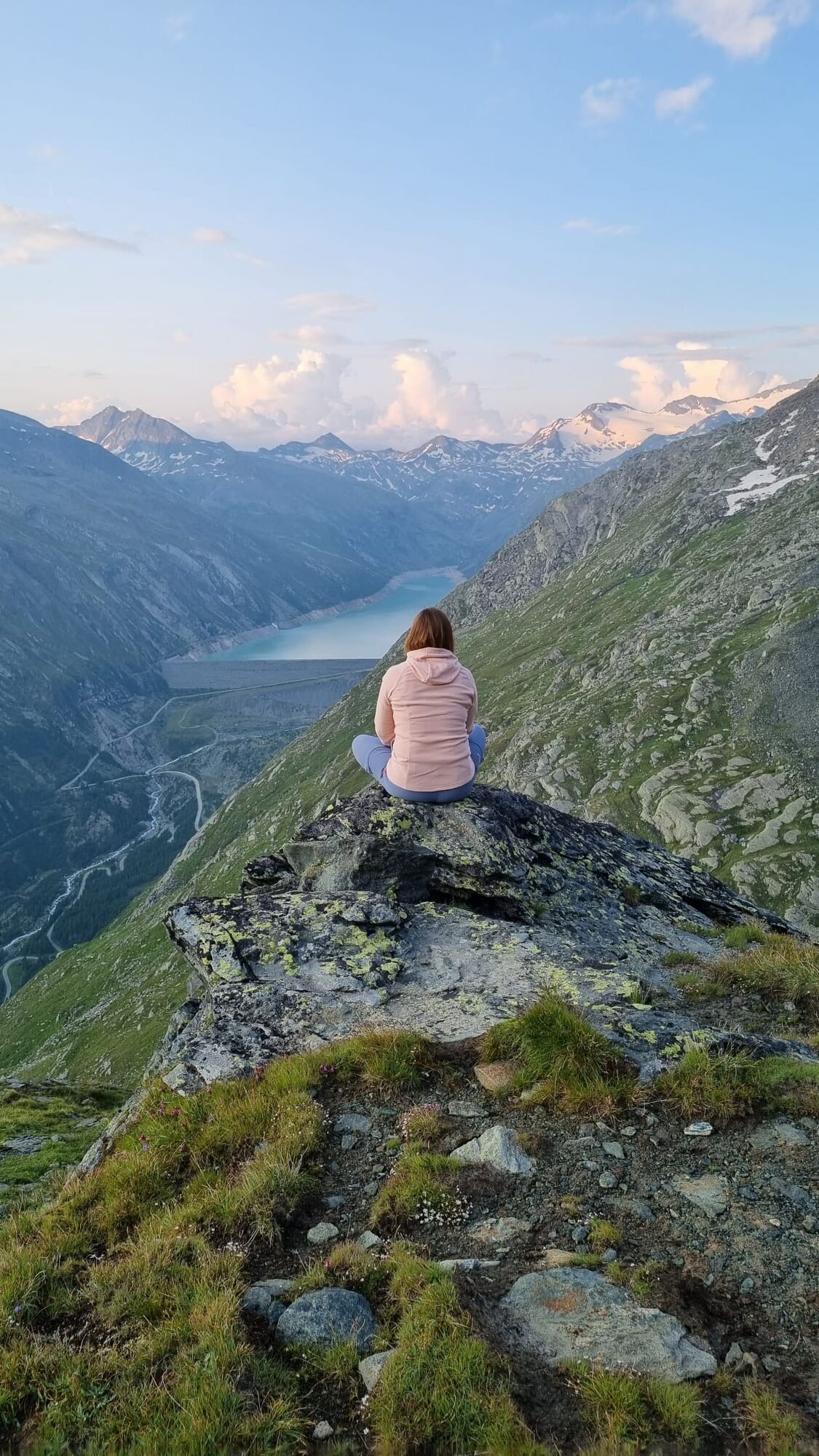
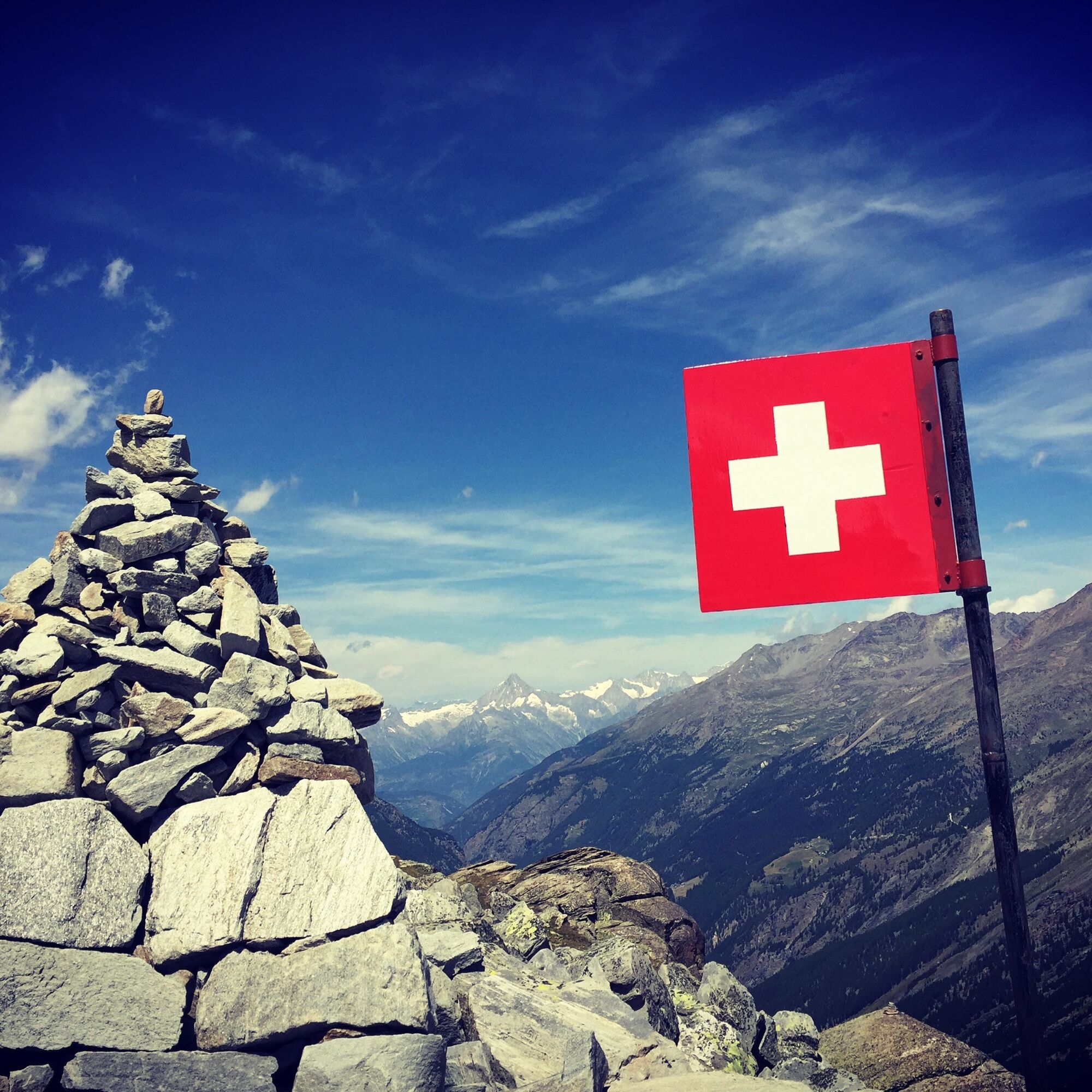
The insider tip on the route is the Swiss cairn at Brandgraben below the Mittaghorn. From this viewpoint, you have a unique view over the entire Saastal, including Mattmark Lake and Bietschhorn.
Note
Sure-footedness, a head for heights, and very good physical condition, as well as safe handling of rope and ice axe, are prerequisites for hiking this alpine trail. Furthermore, you must be able to overcome climbing sections using your hands and know the dangers in the mountains.
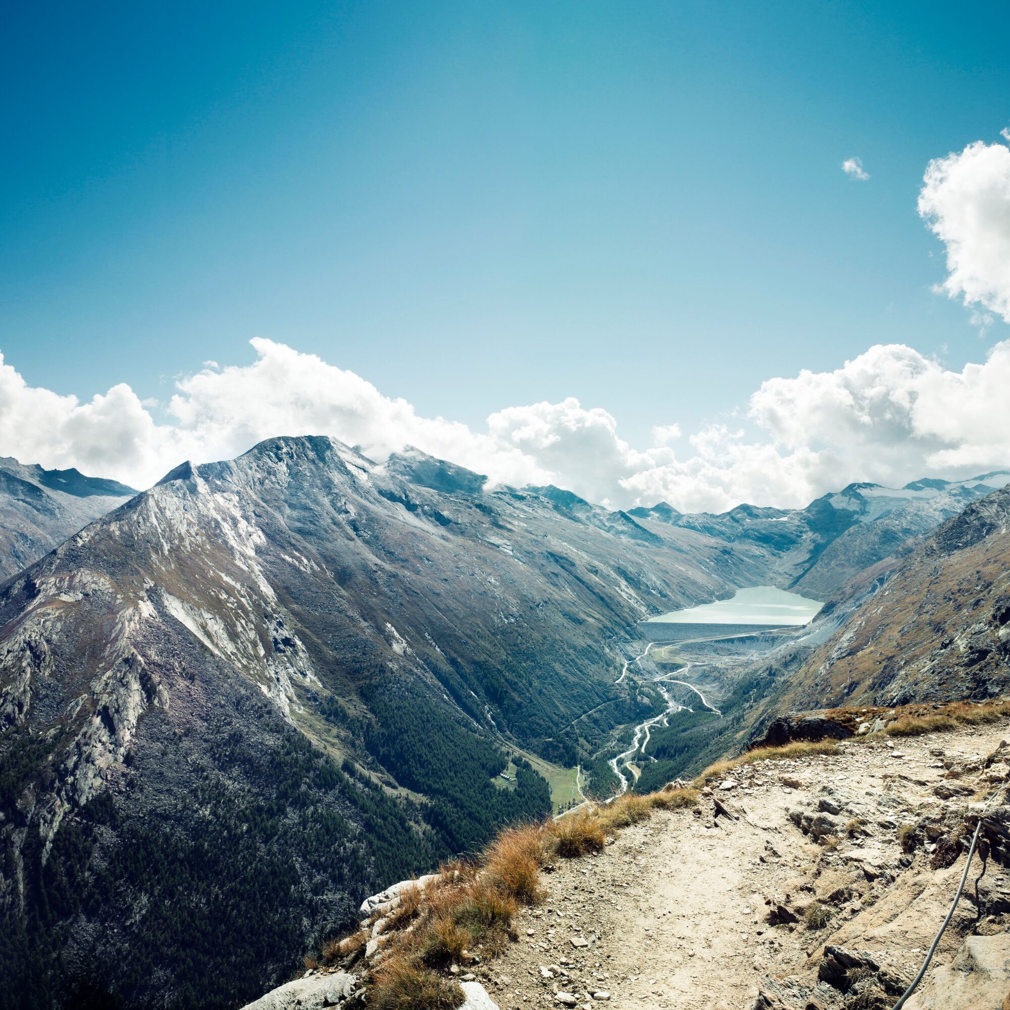
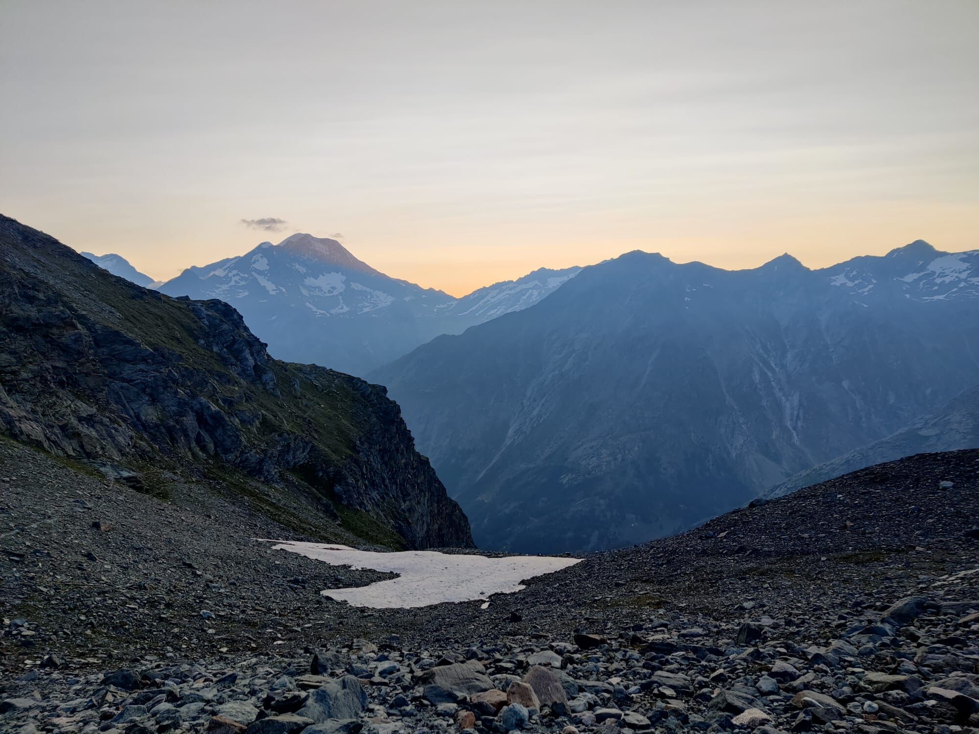
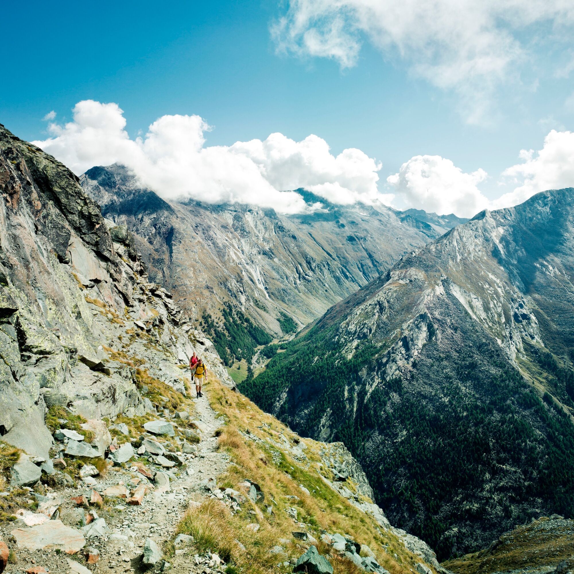
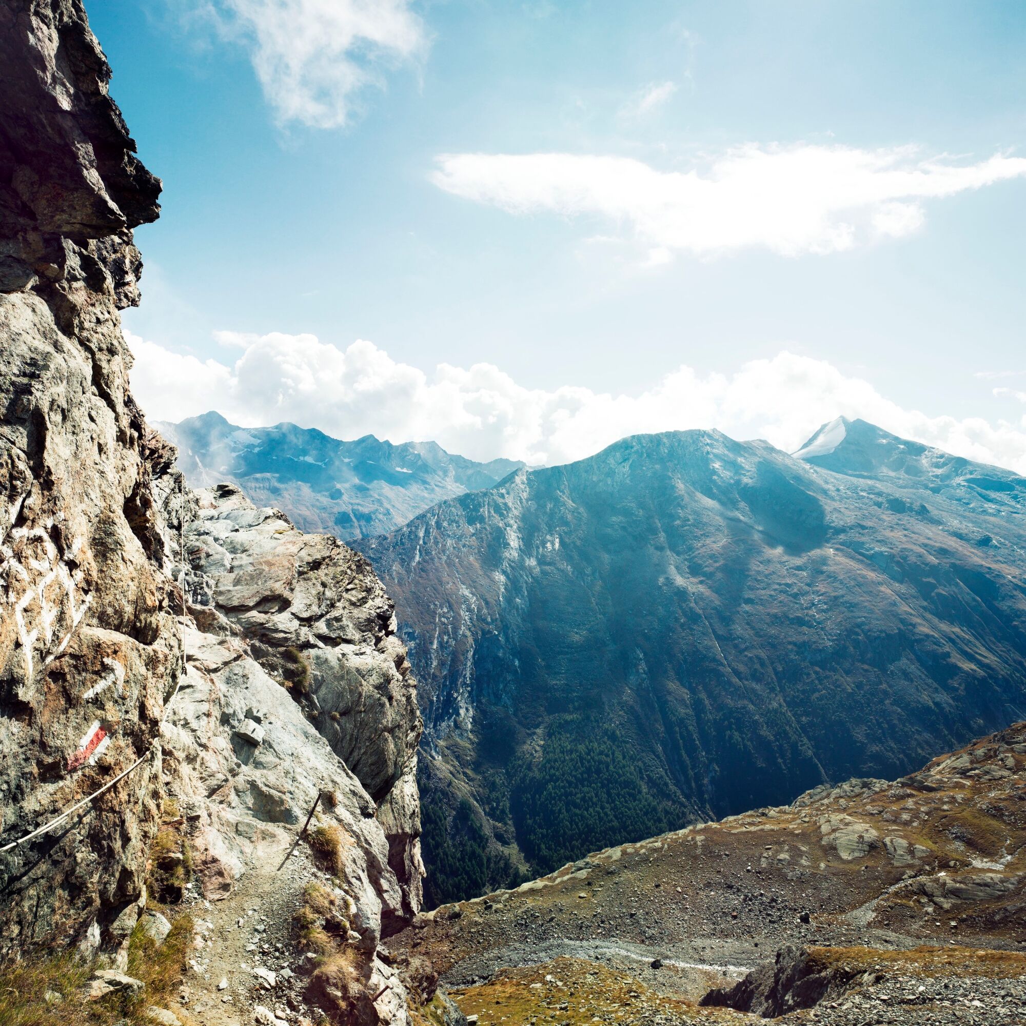

Morenia - Egginerjoch - Chessjengletscher - Heidenfridhof - Brandgrabe - Plattjen - Berghaus Plattjen - Gallenalp - Saas-Fee
Good footwear
Outdoor clothing: Always carry a waterproof jacket
Sunscreen
Fluids and food
Trekking poles (optional)
Navigation tool
First aid kit
Use of hiking trails and information on this website is at your own risk. Conditions on site may cause changes to the route.
Use only marked hiking trails and follow all signs and instructions – for your own safety, to protect livestock, and without disturbing the quiet of wildlife.
Be considerate of other trail users and the landscape. Take your litter and that of others with you.
Carry sunscreen. UV radiation at high altitudes can be very strong, even in cloudy weather.
Plan your hike carefully: consider the required fitness of all participants, weather forecasts, and seasonal dependencies.
Weather conditions in the mountains can change very quickly and without warning. Appropriate clothing and sufficient provisions (food and drink) are very important. Turn back early in case of bad weather.
Do not venture onto glaciers without a mountain guide.
Observe warning signals indicating dangers.
Inform third parties about your route and, if possible, never go alone.
Pay attention to the operating hours of the mountain railways.
The Plattjen cable car does not operate in summer.The Saastal is easily and comfortably accessible by car from all directions, whether from Switzerland or from abroad. From the north, you reach us via Bern through the Lötschberg car shuttle. From the east, you come via the Furka Pass or the Furka car shuttle. From the south, we are accessible via the Simplon Pass or Simplon car shuttle, and from the west, you drive via Lausanne along the Rhone valley to Visp and from there towards Saas-Fee. From Visp, you drive south towards Saas-Fee. At the "Killerhof" roundabout towards Stalden, take the second exit to Saas-Fee. In Saas-Grund, after the church, turn right towards Saas-Fee.
Take the SBB to Visp and change there to the PostBus towards Saas-Fee (Bus 511).
You can find parking in the parking garage directly at the entrance to Saas-Fee.
T3
Saastal Tourismus AG
Obere Dorfstrasse 2
3906 Saas-Fee
Tel.: +41 (0)27 958 18 58
E-Mail: info@saas-fee.ch
www.saas-fee.ch
Saastal Bergbahnen AG
Panoramastrasse 5
3906 Saas-Fee
Tel. +41 (0)27 958 11 00
E-Mail: bergbahnen@saas-fee.ch
www.saas-fee.ch/bergbahnen
A detour to the Britannia hut with a view over the Mattmark area is recommended.
Uzyskaj wgląd
Zawsze na żywo z ponad 9 500 kamer internetowych. bergfex Jako użytkownik Pro, możesz teraz zobaczyć odpowiednie kamery internetowe dla wielu wycieczek w aplikacji wycieczki od. Pozwala to na bezpośredni podgląd aktualnych warunków.
Popularne wycieczki w okolicy
-
4,9
Allalinhorn vom Mittelallalin über Normalweg
średniWycieczka wysokogórska 6,15 km -
3,3
Europaweg Grächen - Europahütte - Zermatt
ciężkiWędrówka 39,9 km -
3,6
Höhenweg Kreuzboden - Almagelleralp - Saas-Almagell
Wędrówka 9,74 km -
3,5
Waldweg Saas-Fee - Saas-Almagell
Wędrówka 2,83 km -
3,8
Höhenweg Saas-Fee - Grächen
Wędrówka 12,0 km -
5,0
Weissmies Südgrat von Saas Almagell
średniWycieczka wysokogórska 20,5 km -
4,8
Marmot mountain path Spielboden
średniWędrówka 3,89 km -
5,0
Via ferrata Jägihorn
ciężkiVia ferrata 6,14 km -
4,6
Gspon high-altitude route
średniWędrówka 13,9 km -
4,3
Ibex path
średniWędrówka 9,02 km
Wędrówki i tropienie


Nie przegap ofert i inspiracji na następne wakacje
Twój adres e-mail została dodana do listy mailingowej.





