







Classic hike Lötschberg south ramp
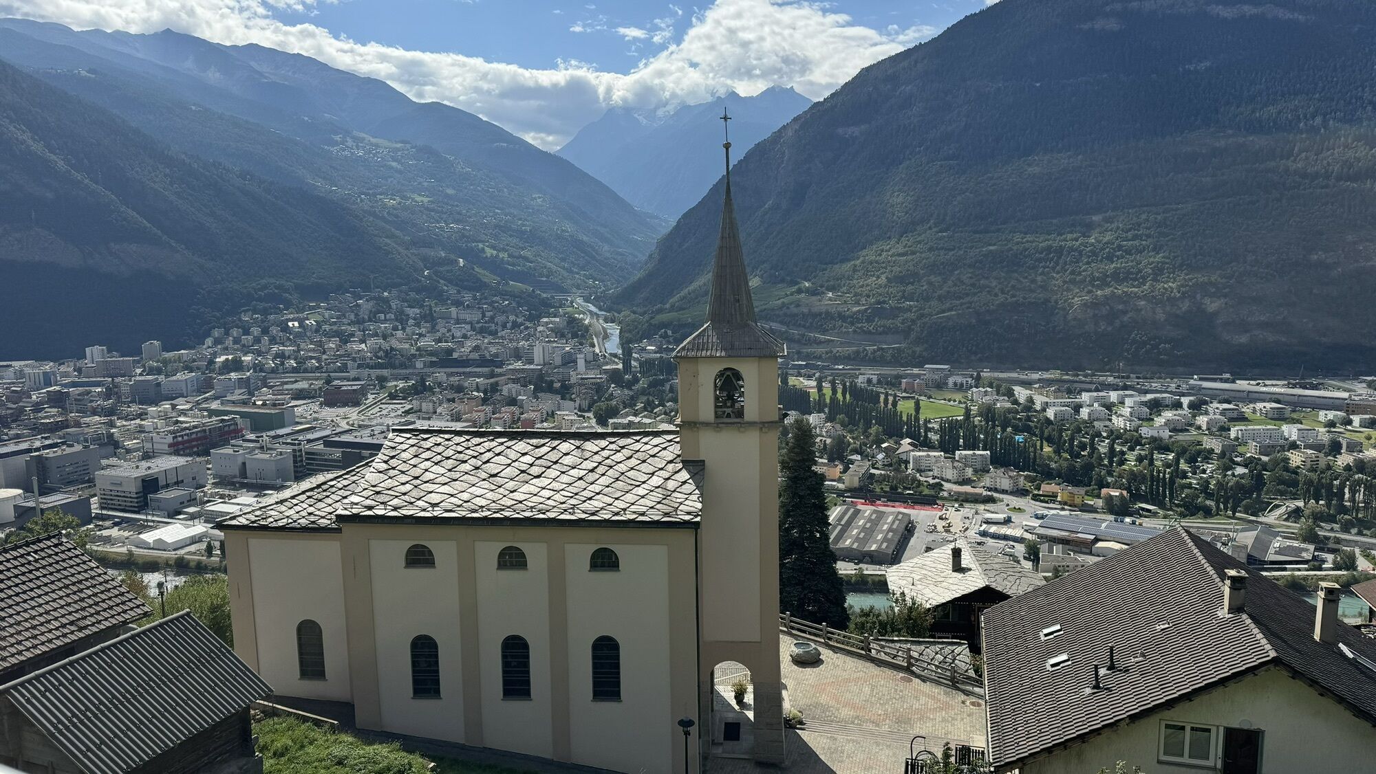
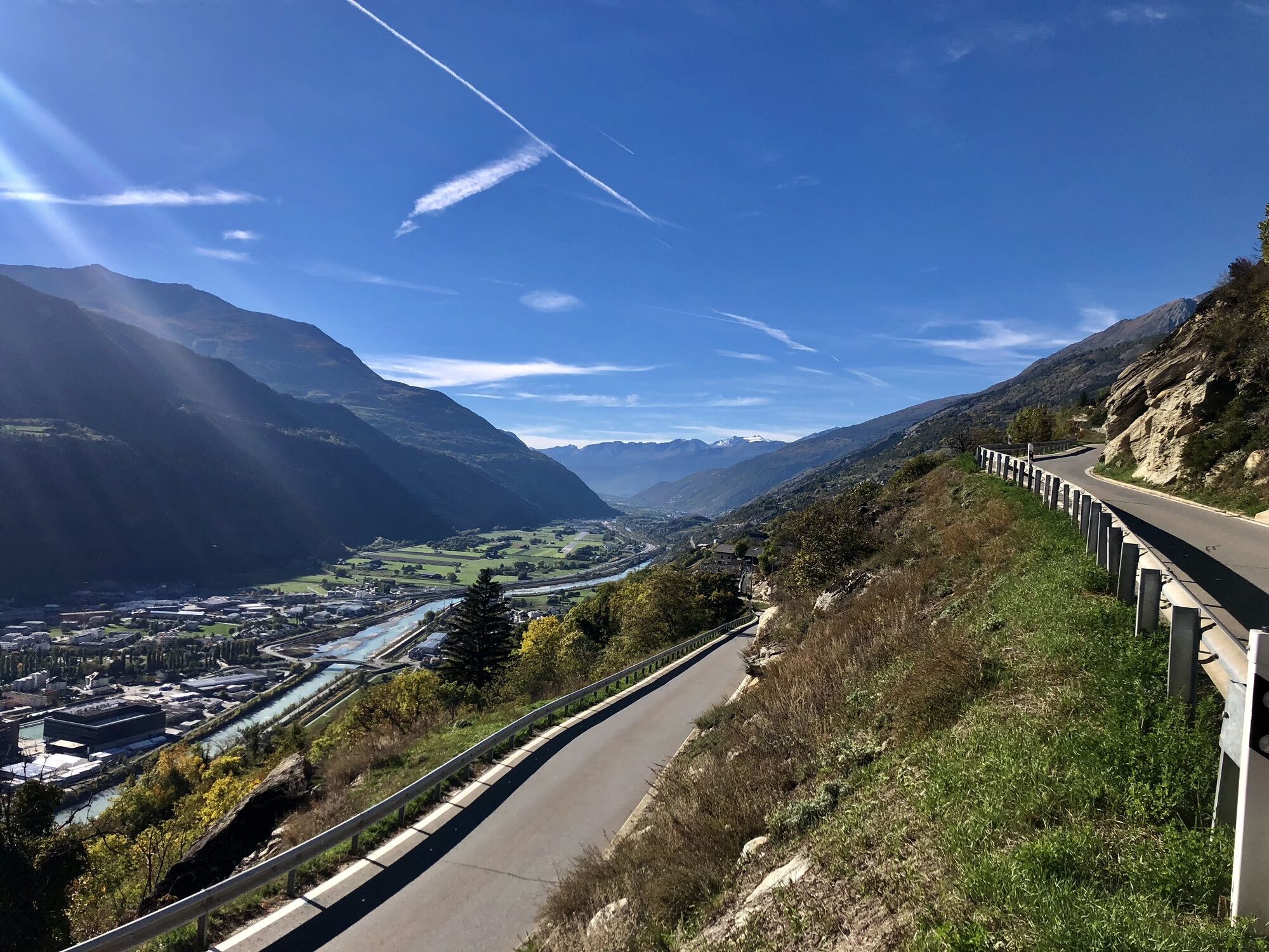
The first railway hiking trail in Europe runs on the sunny side of the Rhone Valley from Hohtenn station via Ausserberg, Eggerberg, Lalden, and Naters to Brig. Along the way, hikers encounter a lively...
The first railway hiking trail in Europe runs on the sunny side of the Rhone Valley from Hohtenn station via Ausserberg, Eggerberg, Lalden, and Naters to Brig. Along the way, hikers encounter a lively interplay between alpine and southern vegetation. Along the route, you will find not only typical Valais houses but also numerous masterpieces of railway construction. Particularly impressive are the Suonen - old irrigation channels.
Those who want to shorten the route can take the train back to the starting point at any of the stations. The route can also be done as a stage hike.


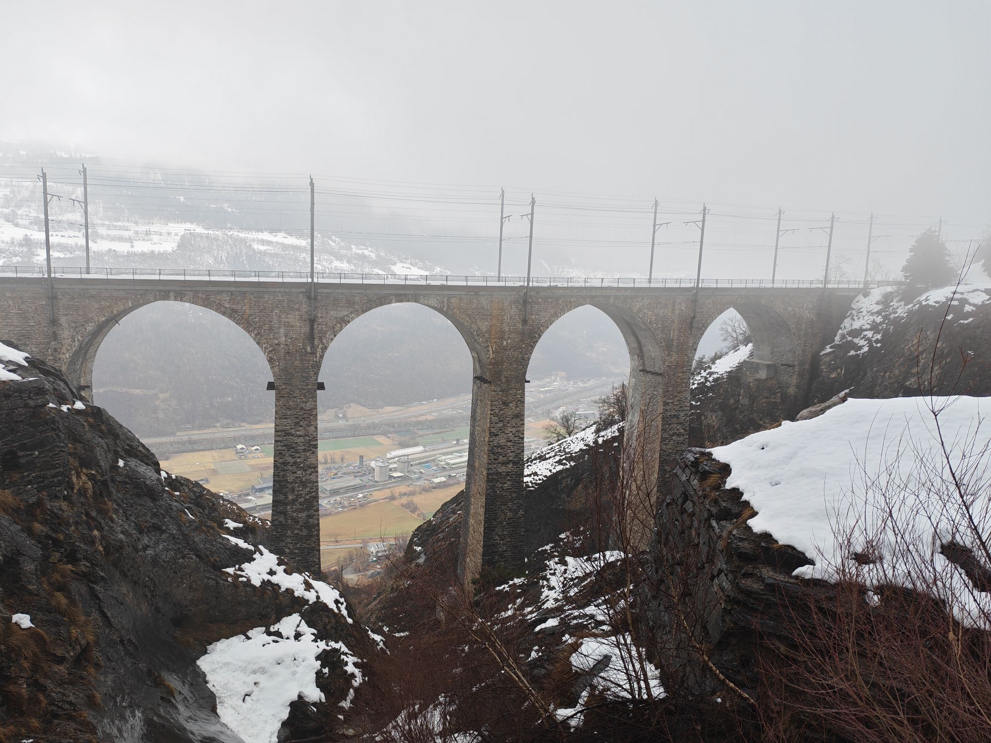
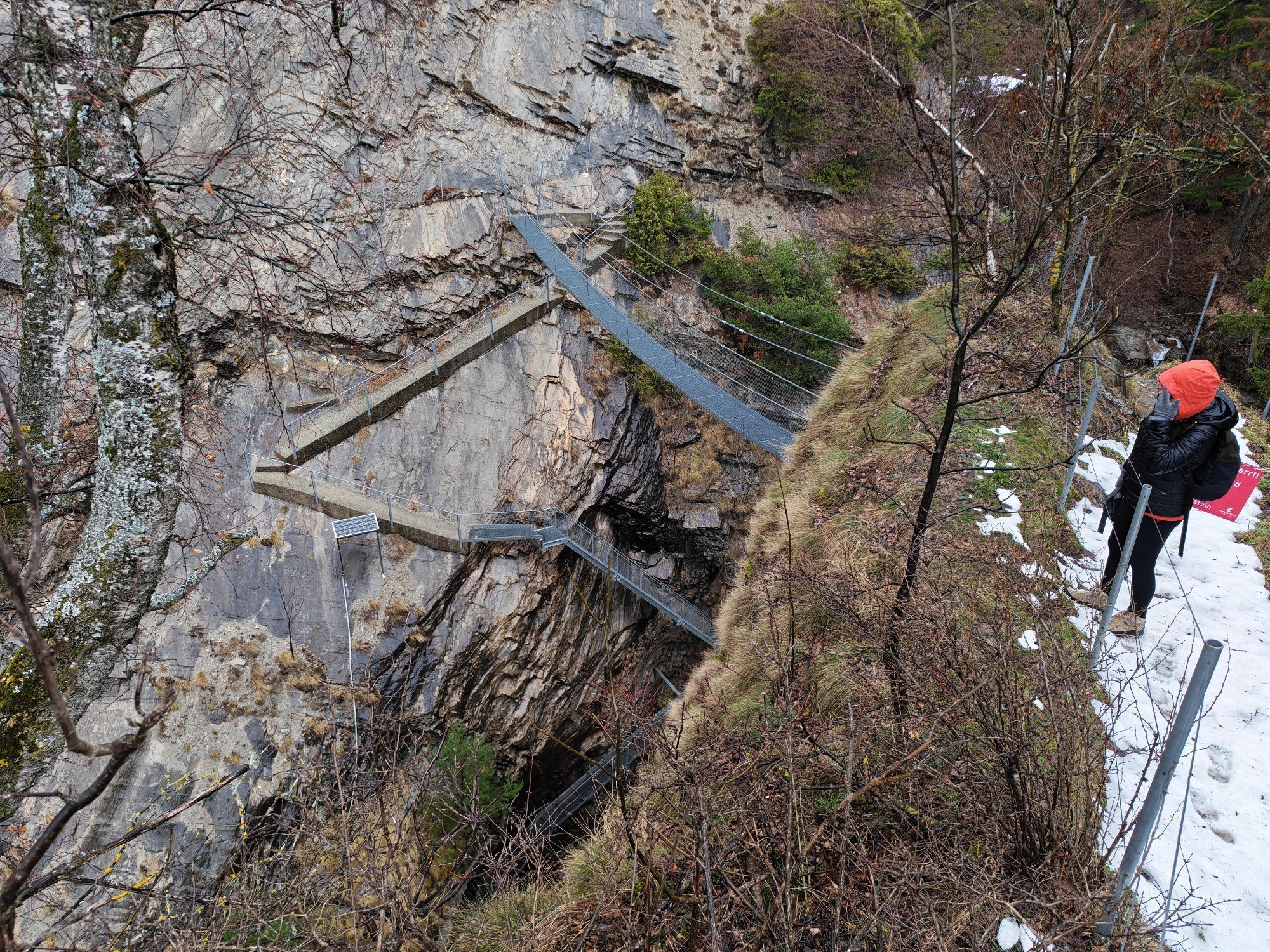
The high-altitude hiking trail leads from Hohtenn station to Brig. You always move along the railway line in an easterly direction. From the starting point, the varied path continues via Rarnerchumma, where the path shortly afterwards loops left following the markings of the Via Alpina further to Ausserberg. Along the route, you will find not only typical Valais houses but also construction works along the Lötschberg south ramp. The Luogelkin viaduct, a stone bridge at dizzying height, stands as a representative of numerous masterpieces of railway construction. Scenic paths and deep gorges lead further to Eggerberg and then past high above Lalden, Brigerbad, and Gamsen to Naters and Brig. Along the way, various information boards provide exciting information about train traffic in the sunny Rhone Valley. Those who want to shorten the route can take the train back to the starting point at any of the stations. The route can also be done as a stage hike.
Tak
Sturdy footwear, sun protection, provisions, and water
The train station is located directly at the start of the route in Hohtenn.
Public parking is available at the train station in Hohtenn.
Discover the UNESCO World Heritage Swiss Alps Jungfrau-Aletsch at the World Nature Forum in Naters.
Kamery internetowe z trasy
-
Eischoll - Stryggen
-
Belalp Hexenland
-
Belalp - Feriensiedlung Tschuggen
-
Jeizinen - Feselalpe
-
Termen
-
Air Zermatt - Station Raron
-
Air Zermatt - Station Raron
-
Rothorli
-
Air Zermatt - Station Raron
-
Eischoll Dorf
-
Trächu Hittu / Untere Feselalpe
-
Obere Feselalpe
-
Rosswald
-
Stockalperschloss
-
LGJ Bergstation
-
Rosswald
-
Rosswald
-
Rosswald
-
Rosswald
-
Rosswald
-
Heidabahn Talstation
Uzyskaj wgląd
Zawsze na żywo z ponad 9 500 kamer internetowych. bergfex Jako użytkownik Pro, możesz teraz zobaczyć odpowiednie kamery internetowe dla wielu wycieczek w aplikacji wycieczki od. Pozwala to na bezpośredni podgląd aktualnych warunków.


Popularne wycieczki w okolicy
-
5,0
Moosalp Panoramaweg
światłoWędrówka 6,36 km -
4,8
Lötschentaler Höhenweg
światłoWędrówka 9,17 km -
5,0
BELALP - SPARRHORN
ciężkiWędrówka 11,2 km -
5,0
Restipass
Wędrówka 14,5 km -
4,8
SUSPENSION BRIDGE RIEDERALP - BELALP
średniWędrówka 11,5 km -
CIRCULAR HIKE MASSEGGA SUSPENSION BRIDGE
światłoWędrówka 6,44 km -
5,0
VIA FERRATA "ALETSCH"
średniVia ferrata 3,40 km -
SUONEN CIRCULAR HIKE GREDETSCHTAL
średniWędrówka 7,45 km -
5,0
Panoramaweg Visperterminen
światłoWędrówka 9,72 km -
4,0
Höhenwanderung Rosswald
światłoWędrówka 6 km
Wędrówki i tropienie


Nie przegap ofert i inspiracji na następne wakacje
Twój adres e-mail została dodana do listy mailingowej.





