







Cultural route in Geschinen
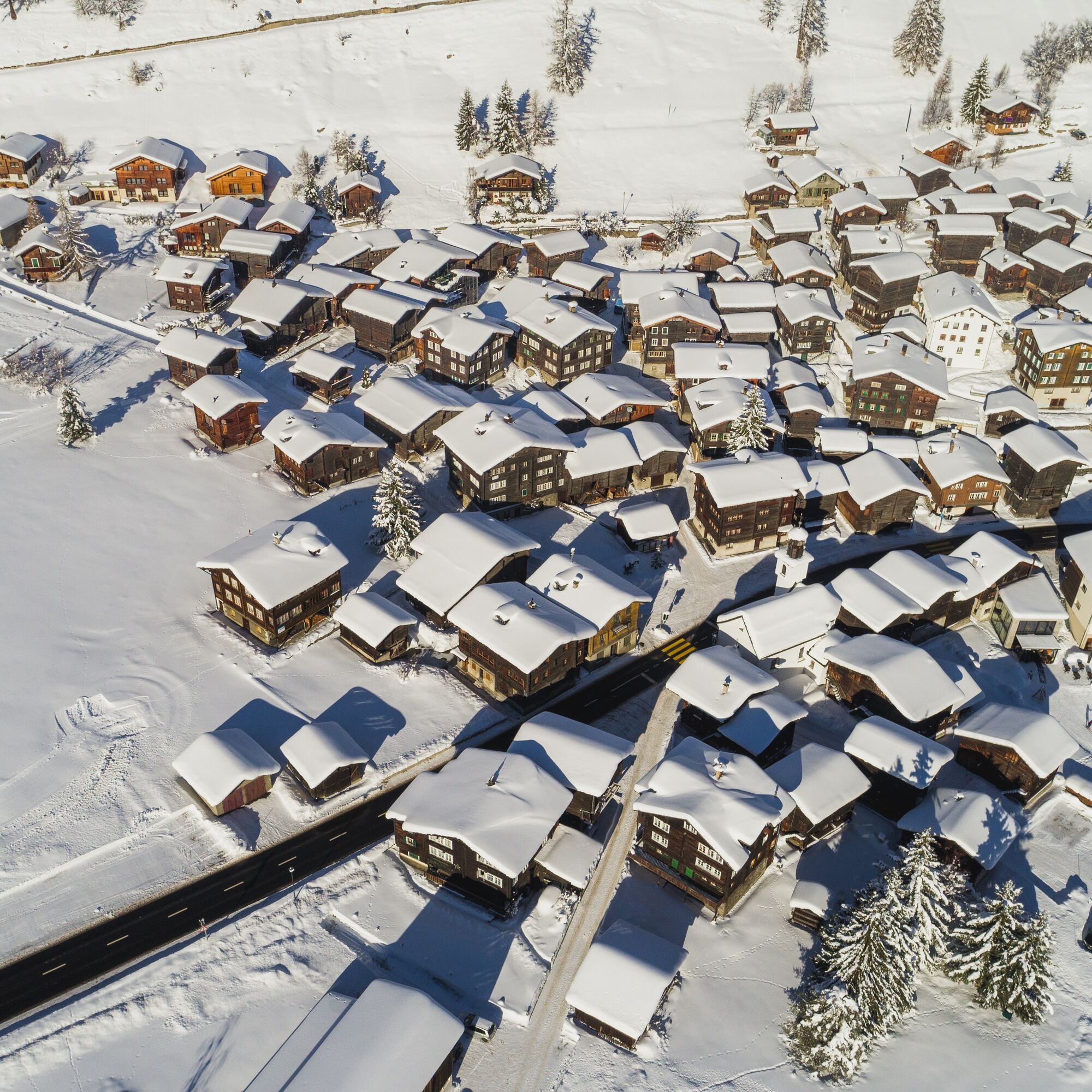
The name Geschinen, derived from the Latin word "cascina" (cheese dairy), points to the first settlement of the area. The village was first documented in 1386. The compact main village lies in the wedge...
The name Geschinen, derived from the Latin word "cascina" (cheese dairy), points to the first settlement of the area. The village was first documented in 1386. The compact main village lies in the wedge of the valley slope and the large Münstiger alluvial fan.
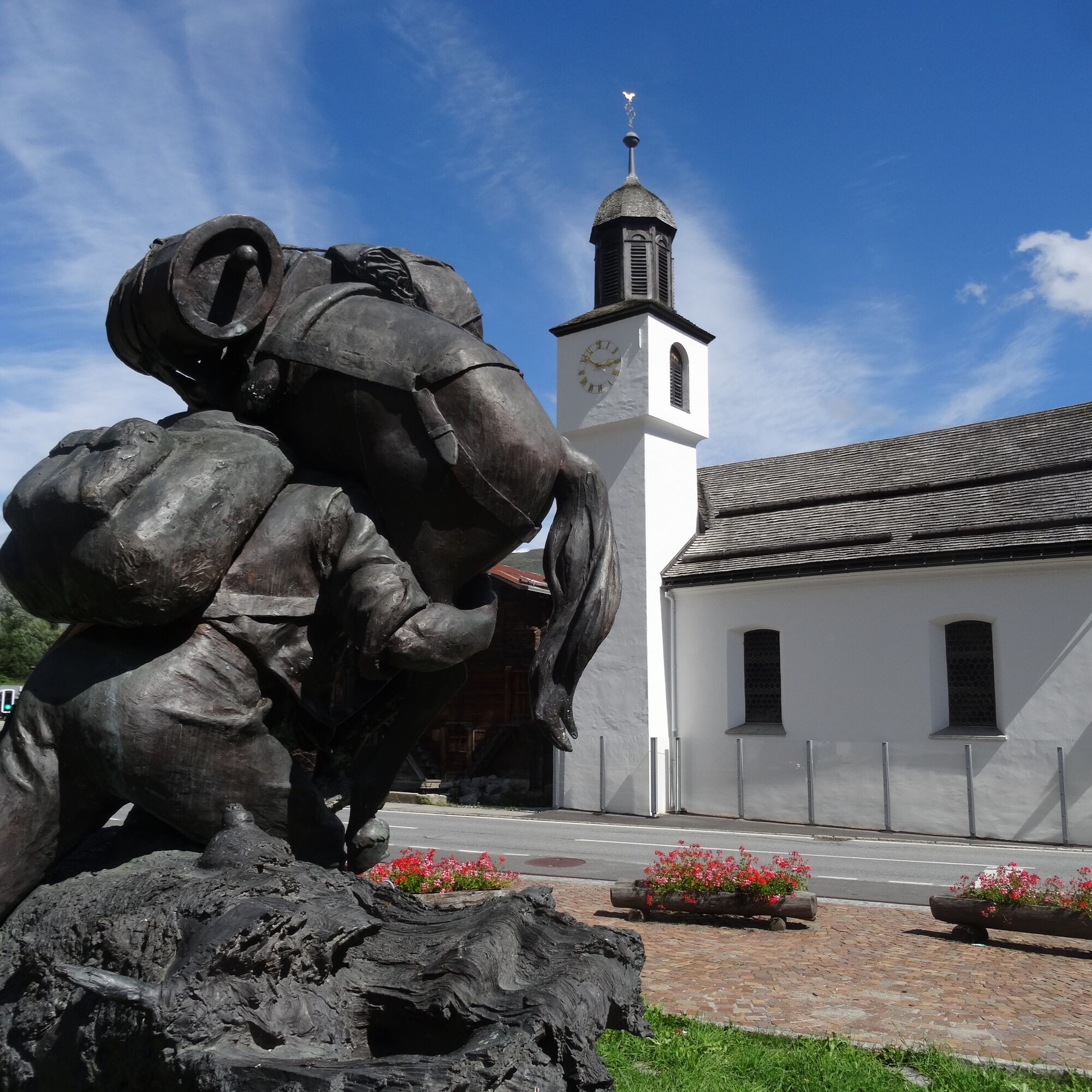
On the village square by the Baschi monument stands a red information column. It serves as the starting point for the Geschinen cultural route. In a compartment, free brochures for self-guided village tours are available. These contain historical backgrounds and information on the corresponding buildings and structures of the circuit.
The cultural routes Münster + Geschinen were initiated by the Kulturlandschaft Münster-Geschinen association. Since its foundation in 2006, it has been committed to the rich cultural heritage of the Obergoms villages Münster and Geschinen. The association relies on numerous locals as well as many guests of our region. More than 100 members support the association's activities.
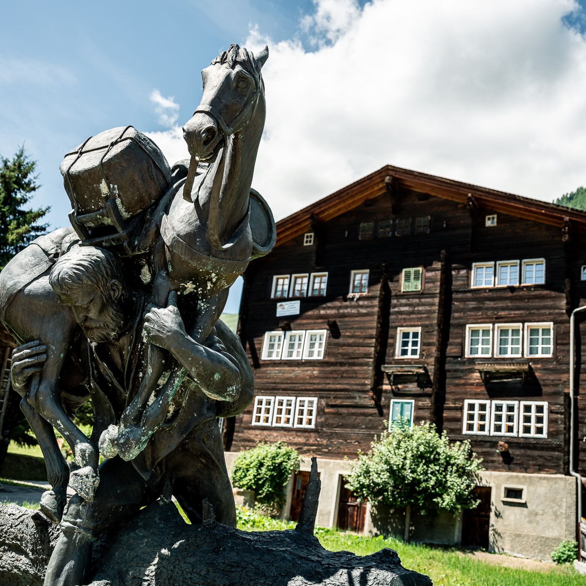
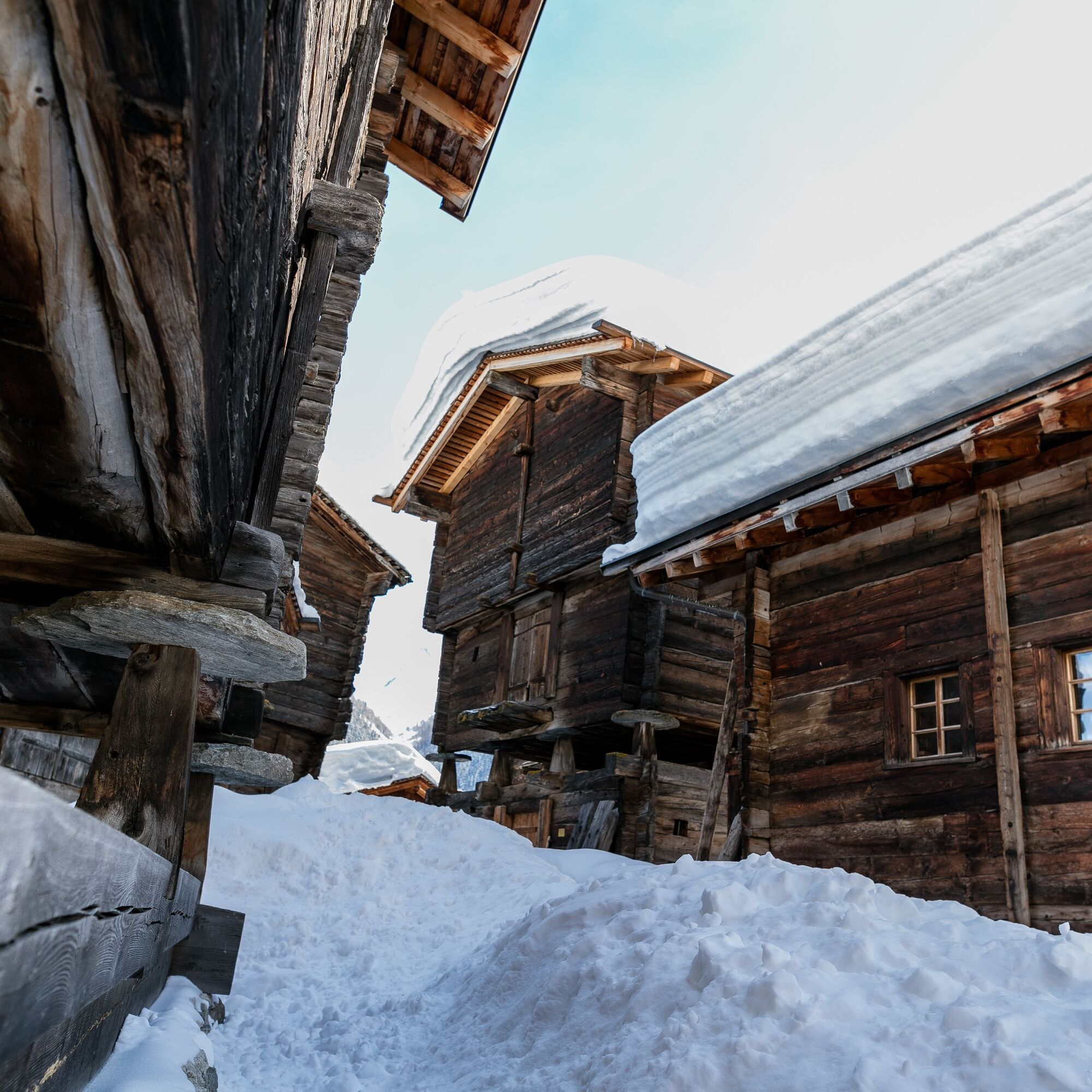
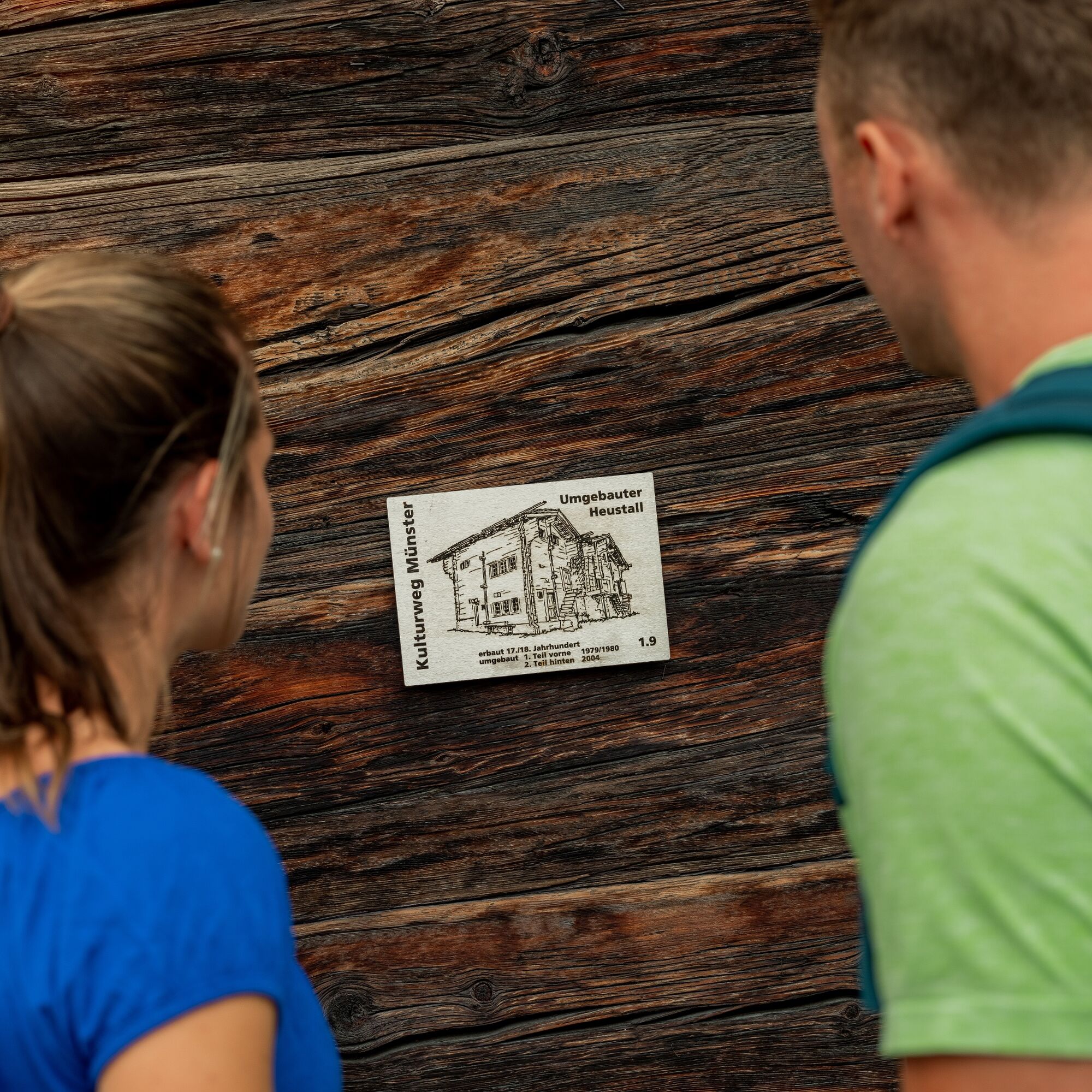
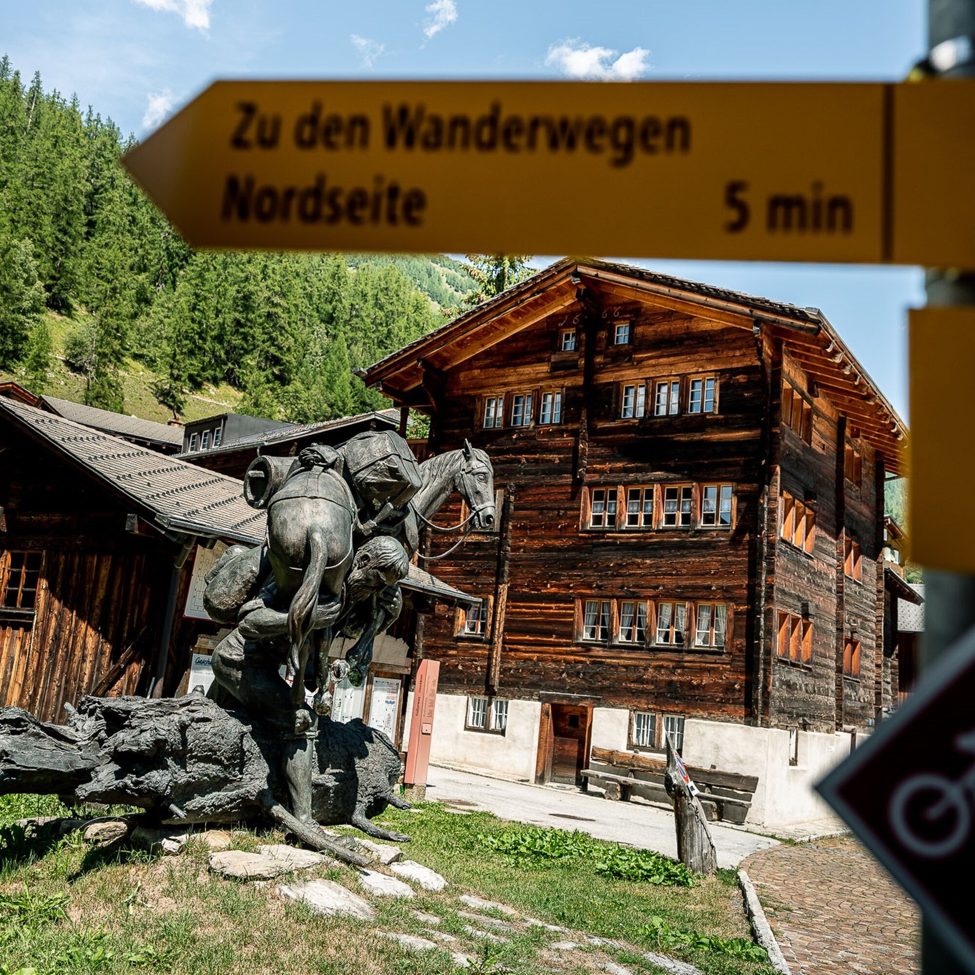
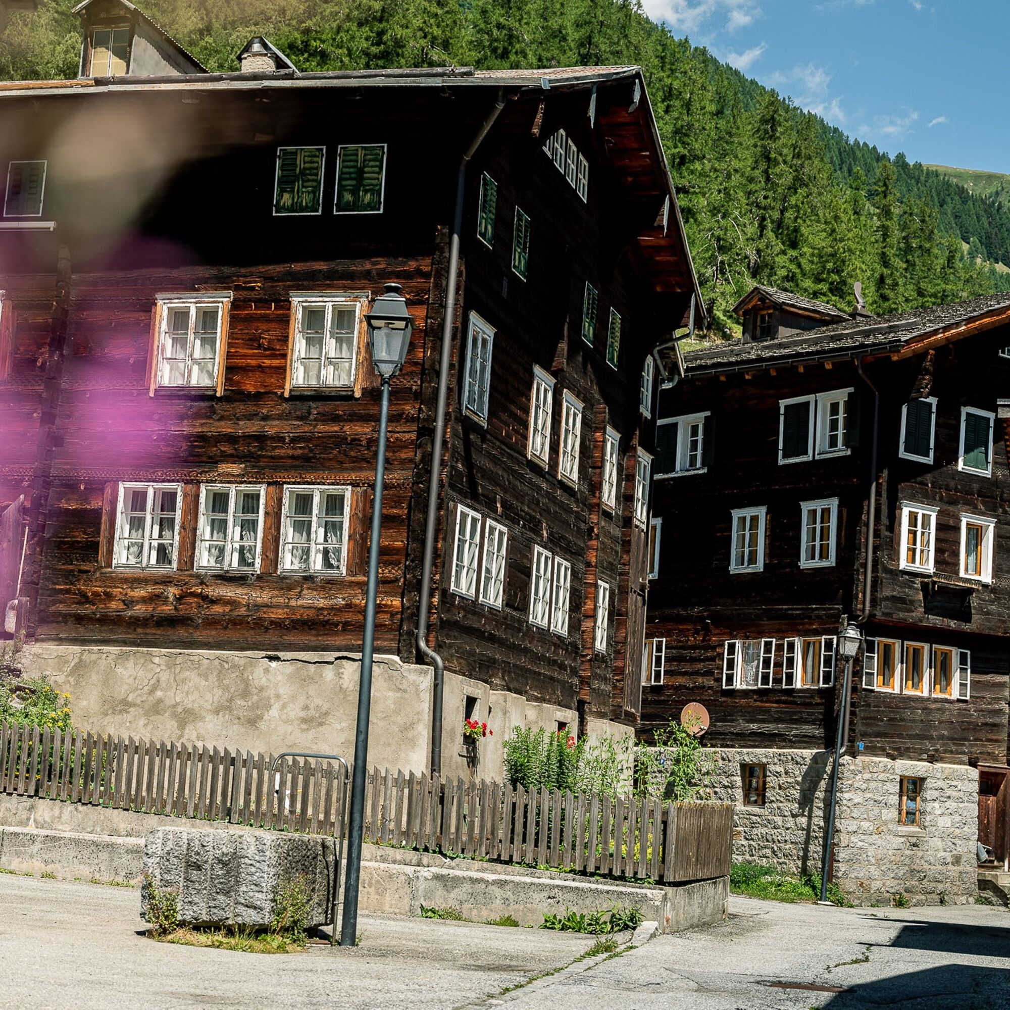

Start Geschinen, Dorfplatz - Weger Hüs (9.1) - Dorfplatz, Schüelhüs (9.2) - Speicher "Spycher" (9.3) - Senneriiplatz (9.4) - Converted hay barn (9.5) - Barn group "Um em Biel" (9.6) - Ds Wiis Hüs (9.7) - Kreuzstadel (9.8) - Sebastianskapelle (9.9) - Renaissance house (9.10) - Renaissance house (9.11)
We recommend:
Waterproof footwear and hiking poles Headwear as well as warm and protective outdoor clothing Sun protection Detailed map or informational materialUse of the themed paths is at your own risk. Obergoms Tourism AG rejects any liability and assumes no responsibility for the accuracy and completeness of the information on this website.
Local conditions may possibly lead to changes in the route. Carry a map with you or download the complete description of the themed path with a large-scale map.
Carry additional sun protection. UV rays at high altitudes can be particularly strong in winter, even on cloudy days.
From Brig, follow the cantonal road No. 19 (Furka road) for about 34 km to Geschinen. Goms is also well connected from the Zürich / Lucerne region via Andermatt - Furka car shuttle.
The Alpine passes Furka, Grimsel, and Nufenen are closed in winter.
With the regional trains of the Matterhorn Gotthard Bahn, you can reach Geschinen from Brig in 1h 11 min. Goms is also easily accessible from the Zürich / Lucerne region via Andermatt - Furka Base Tunnel.
Timetables for trains and buses can be found at www.sbb.ch.
Public parking is available in the village of Geschinen. Please follow the local parking guidance system for this.
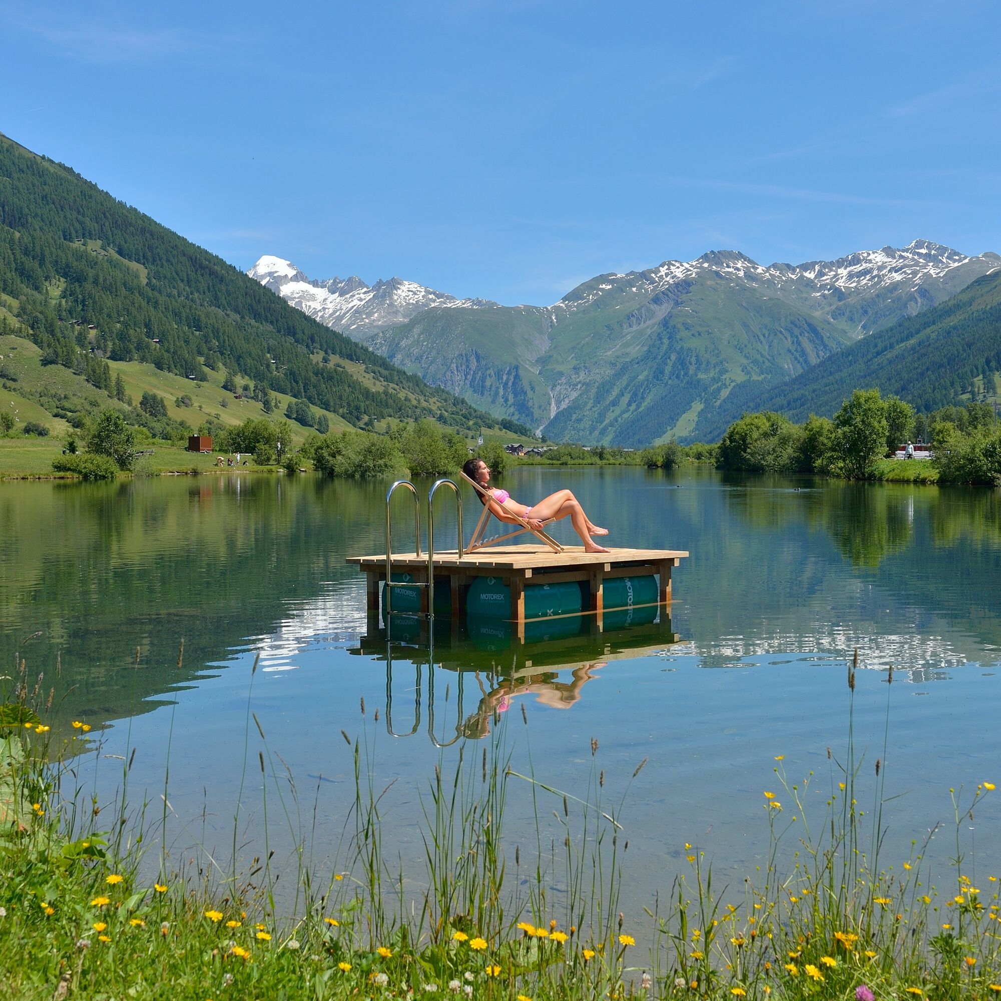
Take the time to visit the idyllic Geschinen lake. The popular recreational area around the lake was artificially created after 1999 for the construction of an avalanche barrier dam.
Uzyskaj wgląd
Zawsze na żywo z ponad 9 500 kamer internetowych. bergfex Jako użytkownik Pro, możesz teraz zobaczyć odpowiednie kamery internetowe dla wielu wycieczek w aplikacji wycieczki od. Pozwala to na bezpośredni podgląd aktualnych warunków.
Popularne wycieczki w okolicy
-
5,0
Circular hike from Grimsel Pass - Sidelhorn via Jostsee
średniWędrówka 8,47 km -
5,0
9 lake-trail
ciężkiWędrówka 17,3 km -
5,0
Gelmersee-Tour
światłoWędrówka 9,03 km -
Furka Pass – Rhone Glacier
światłoWędrówka 3,59 km -
4,8
Ciaspolata al Rifugio Maria Luisa
średniRakieta do chodzenia po śniegu 11,2 km -
3,5
Circular hike Furka Pass-Tällistock
średniWędrówka 11,0 km -
5,0
Aletsch Sightseeing
średniWędrówka zimą 15,5 km -
4,0
Capanna Piansecco
światłoRakieta do chodzenia po śniegu 7,26 km -
5,0
Sidelenhütte
światłoWędrówka 3,39 km -
5,0
Toce Waterfall - Riale - San Giacomo Pass road
średniWędrówka 10,9 km
Wędrówki i tropienie


Nie przegap ofert i inspiracji na następne wakacje
Twój adres e-mail została dodana do listy mailingowej.





