


Alp experience trail
Background of the path
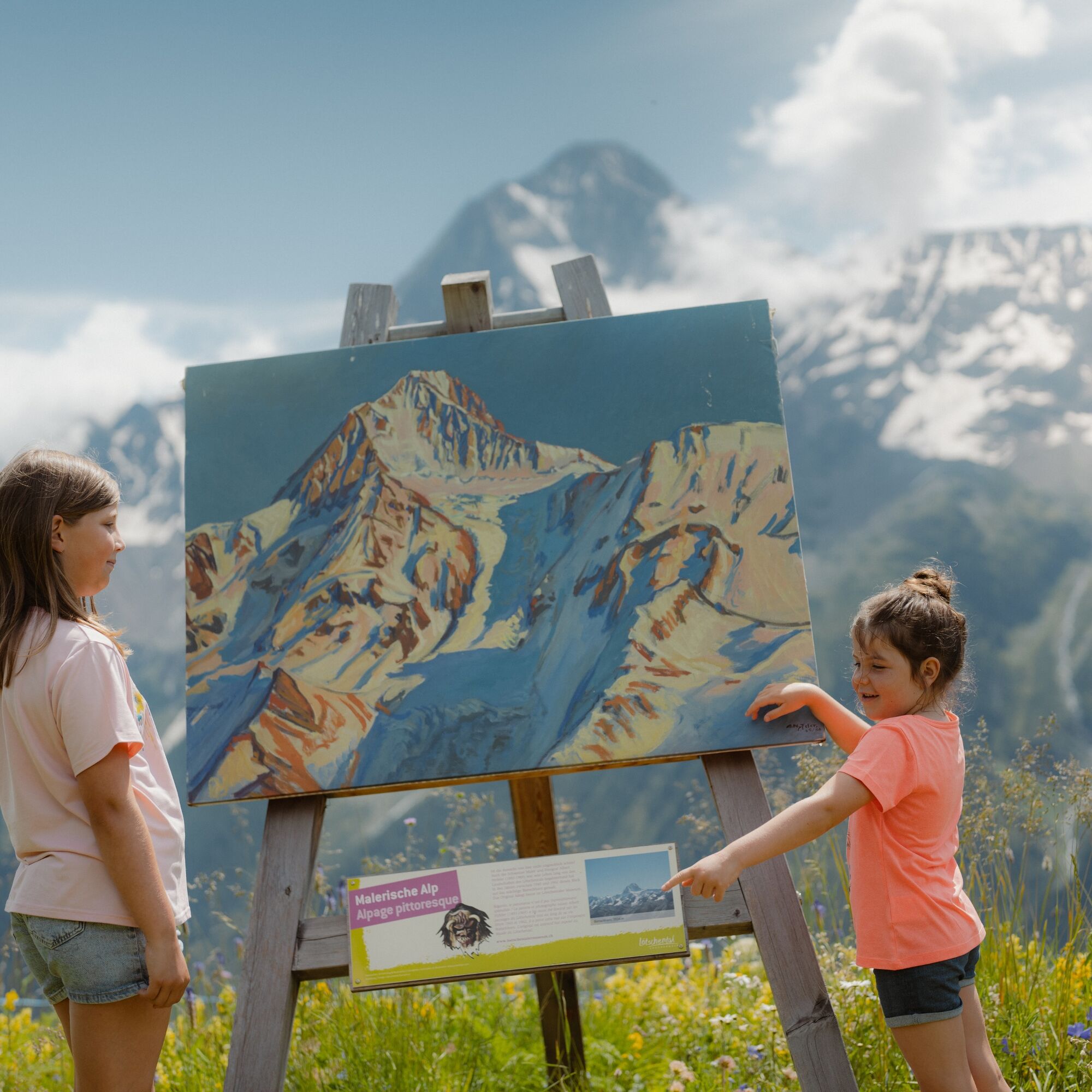
Grazing and mowing of the alp meadows has shaped the alp landscape for centuries; without management, the meadows would quickly become overgrown and forested. Alp farming has therefore...
Background of the path
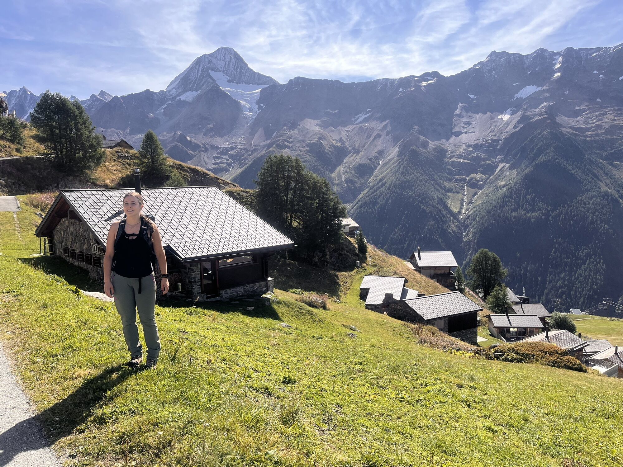
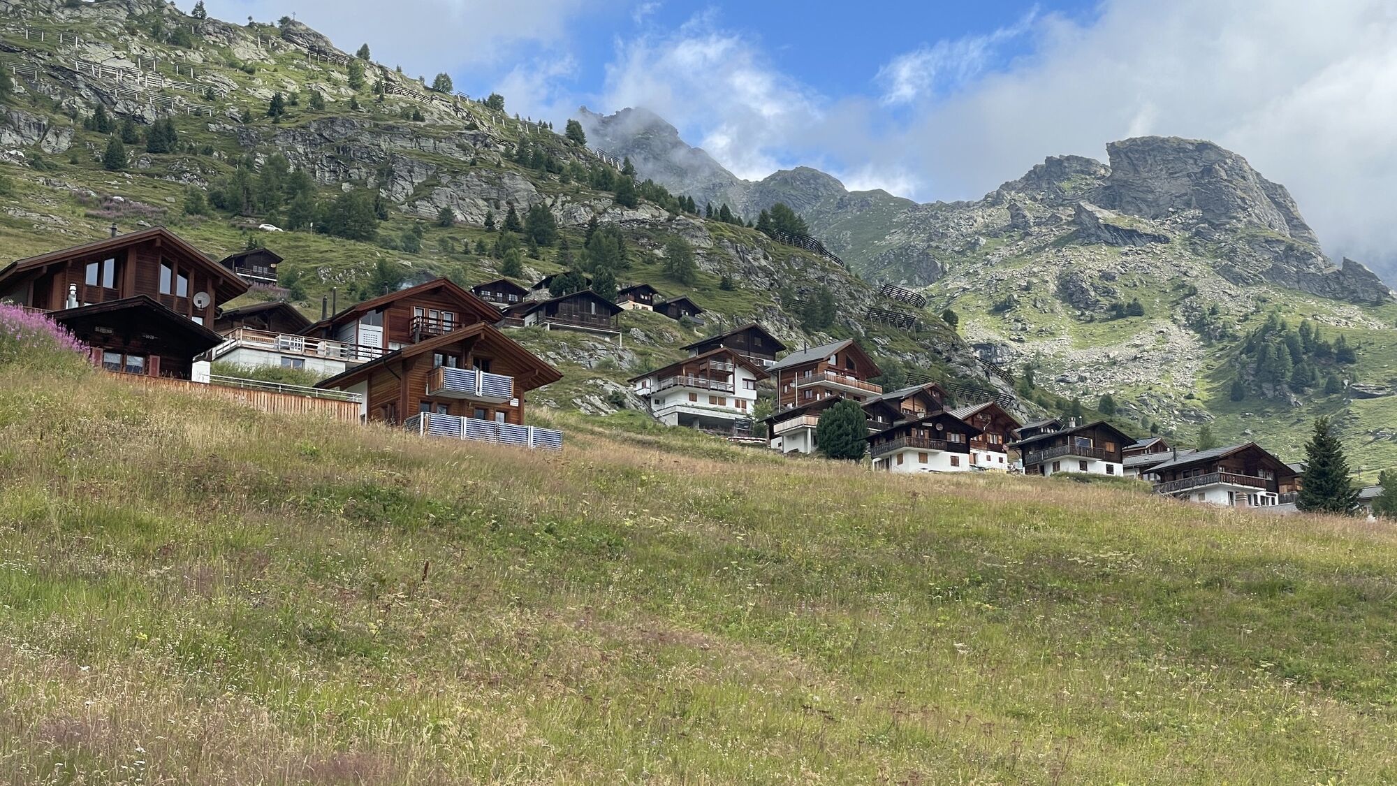
Grazing and mowing of the alp meadows has shaped the alp landscape for centuries; without management, the meadows would quickly become overgrown and forested. Alp farming has therefore not only determined the life and culture of the Lötschental, but also created the typical cultural landscape of the alp – a landscape that makes the charm and uniqueness of the valley. Lush meadows, the tinkling of cowbells, the buzzing of bees and grasshoppers, an incredible mountain backdrop with sharp ridges and dazzling glaciers.
The romantic idea that most people associate with the alp is often deceptive. Life on the alp used to be hard work, and the reward for the effort was modest. The harsh weather in the mountains and the forces of nature caused additional difficulties for the farmers and demanded many sacrifices.


Lauchernalp - Hockenalp - Staffel
Tak
Tak
From Goppenstein you drive into the Lötschental, past the villages of Ferden, Kippel to Wiler at the valley station of the aerial cableway. Take the aerial cableway up to Lauchernalp.
From Gampel / Steg or Goppenstein, the post bus takes you hourly to Wiler. Post bus stop "Wiler, Seilbahn". Take the aerial cableway up to Lauchernalp.
You can park your car in the parking lot or parking garage at the valley station of the aerial cableway (paid).
Buy your adventure ticket at the Lauchernalp Bergbahnen ticket office. The ticket includes a return trip as well as coffee and cake in the restaurant Zudili.
Popularne wycieczki w okolicy
- 4,0
Rundwanderung Lötschenpasshütte
średniWędrówka 12,2 km - 4,9
Kandersteg - Oeschinensee - Blüemlisalphütte
ciężkiWędrówka 11,8 km - 4,7
Lötschentaler Höhenweg
światłoWędrówka 9,17 km - 4,5
Oeschinensee
światłoWędrówka 15,2 km - 5,0
Rundwanderung Anenhütte
średniWędrówka 10,2 km - 5,0
Restipass
Wędrówka 14,5 km - 5,0
Torrenthorn- Rigi der Walliser Alpen
Wędrówka 2,99 km - 4,7
Leukerbad - Gemmipass - Lämmerenhütte
średniWędrówka 9,49 km - 4,0
Gemmipass - Lämmerenhütte - Rote Totz Lücke - Daubensee - Gemmipass
średniWędrówka 13,7 km Kandersteg-SAC Blüemlisalp
ciężkiWędrówka 7,83 km
Wędrówki i tropienie


Nie przegap ofert i inspiracji na następne wakacje
Twój adres e-mail została dodana do listy mailingowej.