


Col des Montets (FRA) – Mythical Alpine passes
Poziom trudności: 3
Between Le Châtelard at the border to France and the Col des Montets, the route shows no major difficulties. The incline is always moderate and the road in excellent condition. You pass through the idyllic...
Between Le Châtelard at the border to France and the Col des Montets, the route shows no major difficulties. The incline is always moderate and the road in excellent condition. You pass through the idyllic village of Vallorcine. After the pass summit, the road continues towards Argentière and Chamonix.

The Col des Montets is probably the easiest of all Valais passes. Once is never — you can do it with ease! The beautiful route from Le Châtelard to the pass summit crosses the track of the Mont-Blanc Express, which runs between Martigny and Chamonix. The holiday resort Vallorcine, located halfway, is worth a detour. And why not continue after arriving at the pass summit towards Argentière and Chamonix?
Our recommendation: technically flawless bike, helmet, gloves, and bell, weather-appropriate clothing (always carry rain protection), drink, and provisions.
Use only marked bike paths and roads and follow the signage. Please close gates and pasture fences behind you. Show consideration for hikers as well as plants and animals. Hikers generally have the right of way. Accurately assess your own abilities and fitness. Riding the various routes is fundamentally at your own risk.
Motorway A9 to Martigny, then continue on E27 to Martigny Combe. From there, take the Forclaz pass road and drive via Trient to Le Châtelard.
Regular trains from all over Switzerland to Martigny. From Martigny, regional train (TMR) to Le Châtelard.
Parking lots in the village of Le Châtelard.
3
More information :
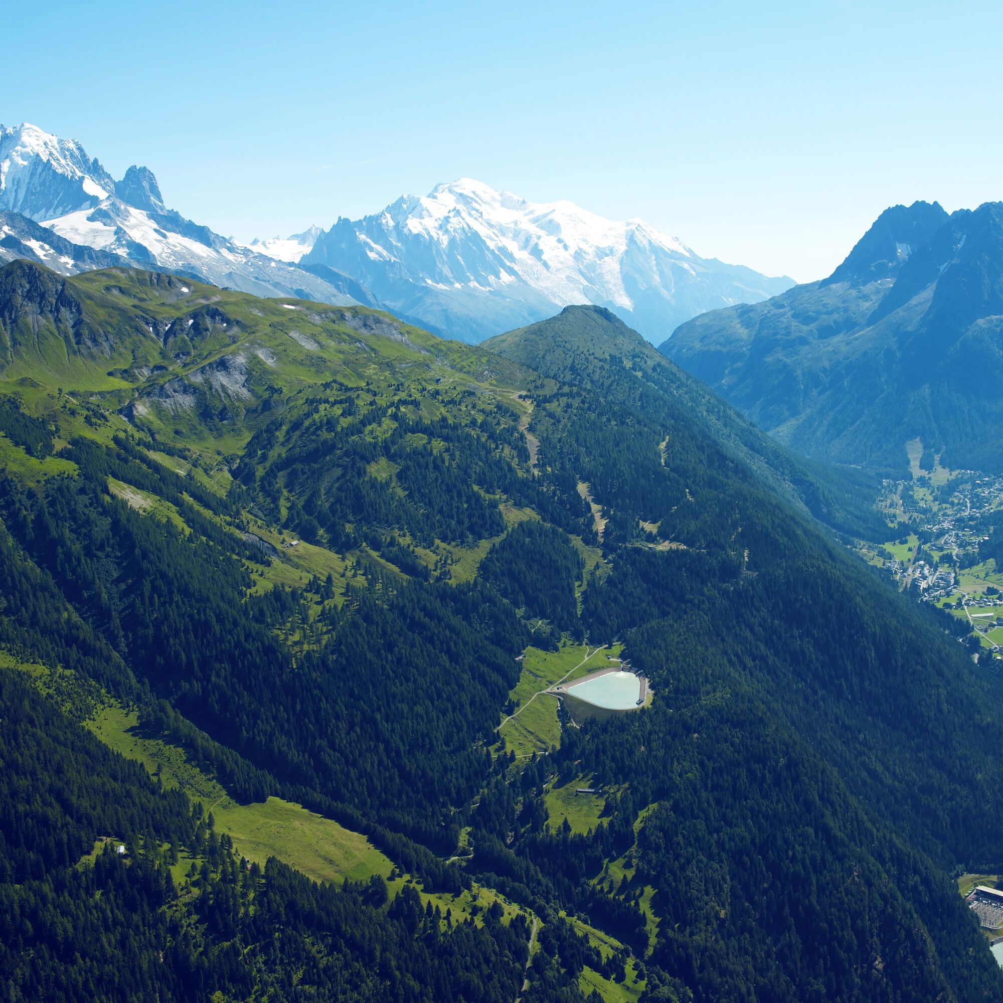
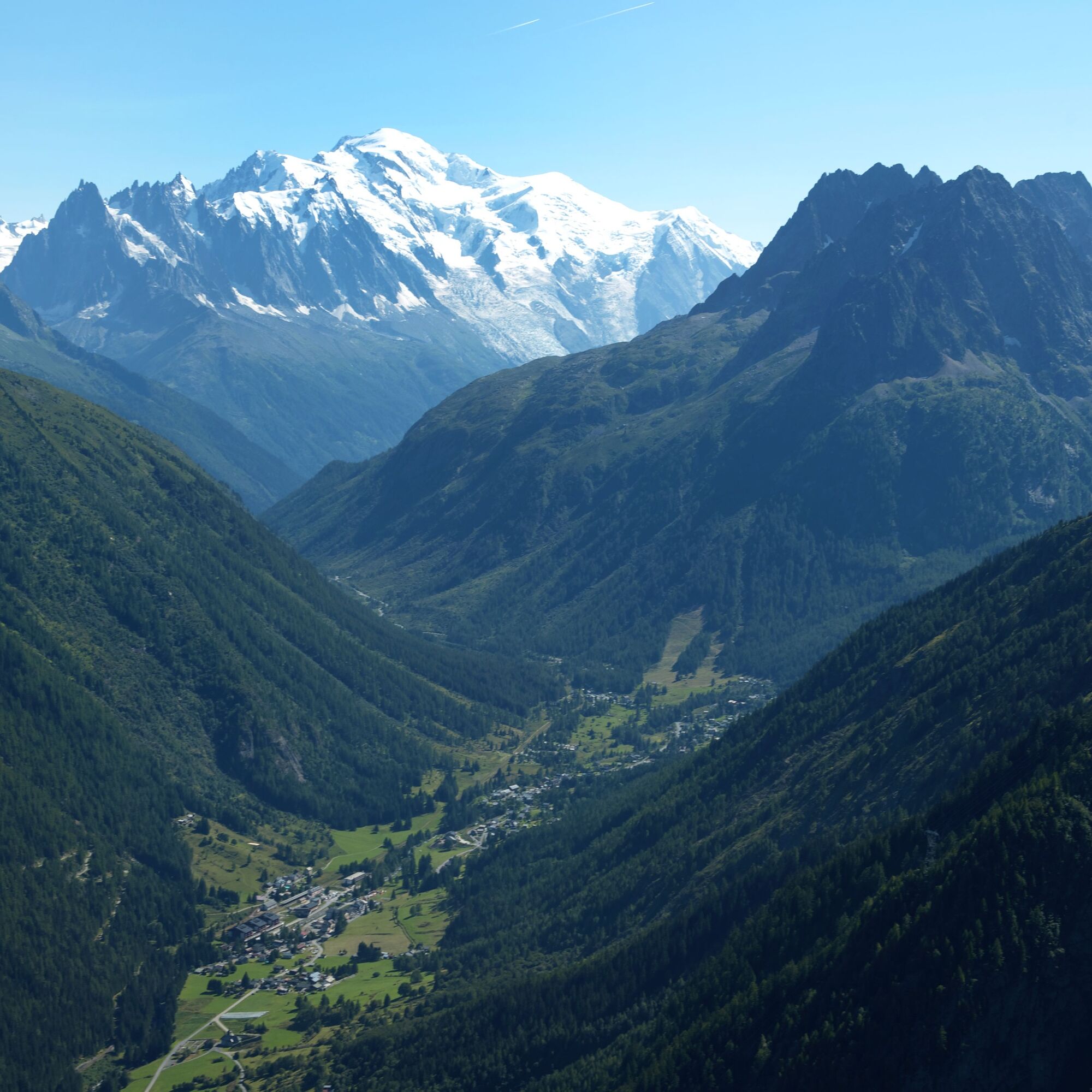
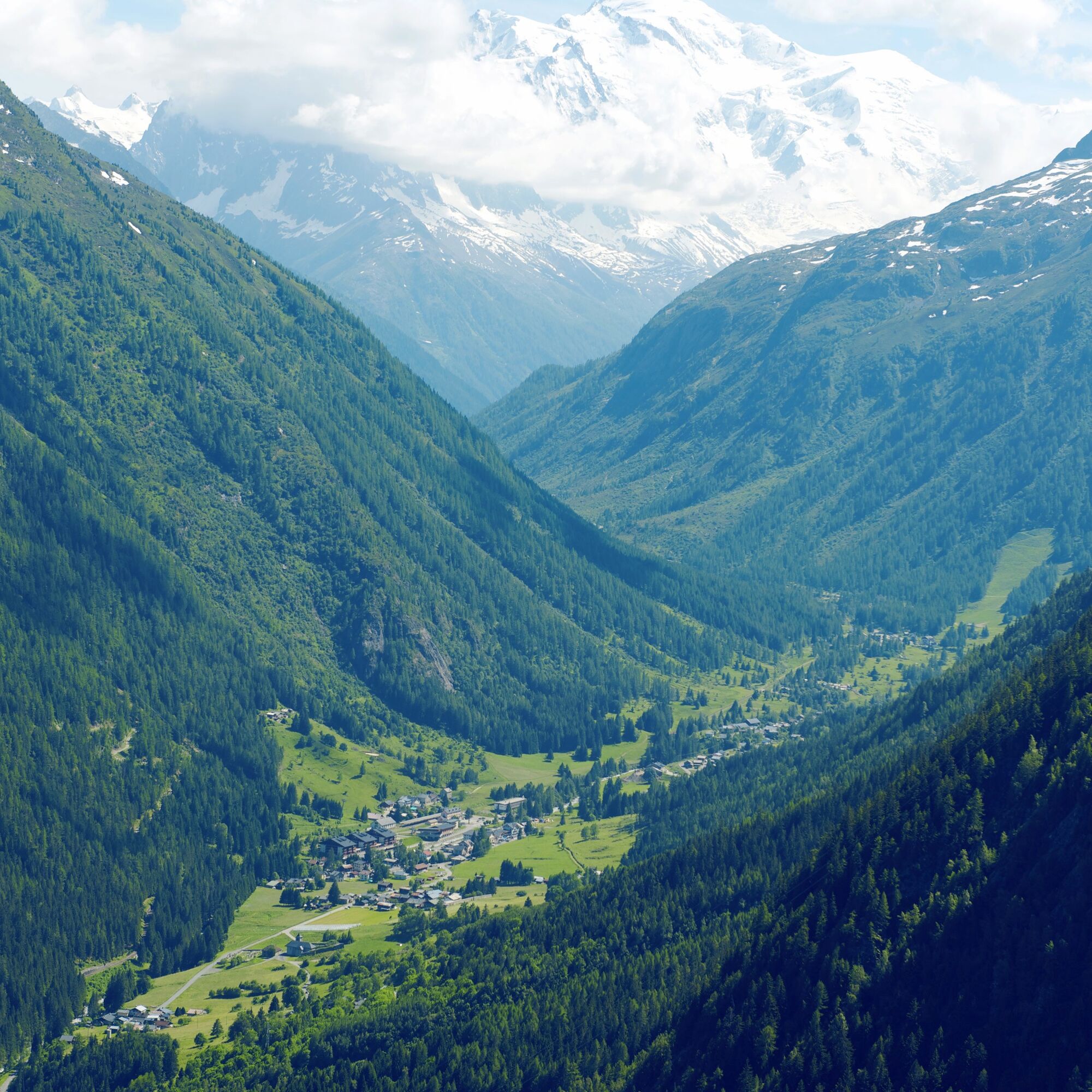
Trient ValleyAs a reward at the pass summit, take time to admire the beautiful panorama.
Popularne wycieczki w okolicy
-
5,0
Sentier de Salanfe
średniWędrówka 12,8 km -
5,0
Huts of Orny and Trient
ciężkiWędrówka 13,4 km -
3,5
Lac d'Emosson - Gorge de la Veudale - Col de la Terrasse - Lac du Vieux Emosson zurück nach Lac d'Emosson
średniWędrówka 14,3 km -
4,0
Chamonix-Mont-Blanc, Auvergne-Rhône-Alpes/France // B/C
średniVia ferrata 2,59 km -
4,5
Vineyard terrace hike in Martigny
światłoWędrówka 6,36 km -
5,0
Goldtoni - Alpenbogen A060 Refuge Anterne-Chamonix
średnidługodystansowy szlak pieszy 19,6 km -
Mont-Blanc Balcony Trail
średniWędrówka 8,36 km -
5,0
Goldtoni - Alpenbogen A058 Auberge de Salanfe-Refuge de Chardonniere
średnidługodystansowy szlak pieszy 28,7 km -
4,3
Goldtoni - Alpenbogen A059 Refuge de Chardonniere-Refuge Anterne
średnidługodystansowy szlak pieszy 33,8 km -
4,0
Hiking trail: Refuge de Grenairon
ciężkiWędrówka 12,6 km
Wędrówki i tropienie


Nie przegap ofert i inspiracji na następne wakacje
Twój adres e-mail została dodana do listy mailingowej.