







Wallis Velo Tour: Verbier - Champéry (Stage 8)
Poziom trudności: 4
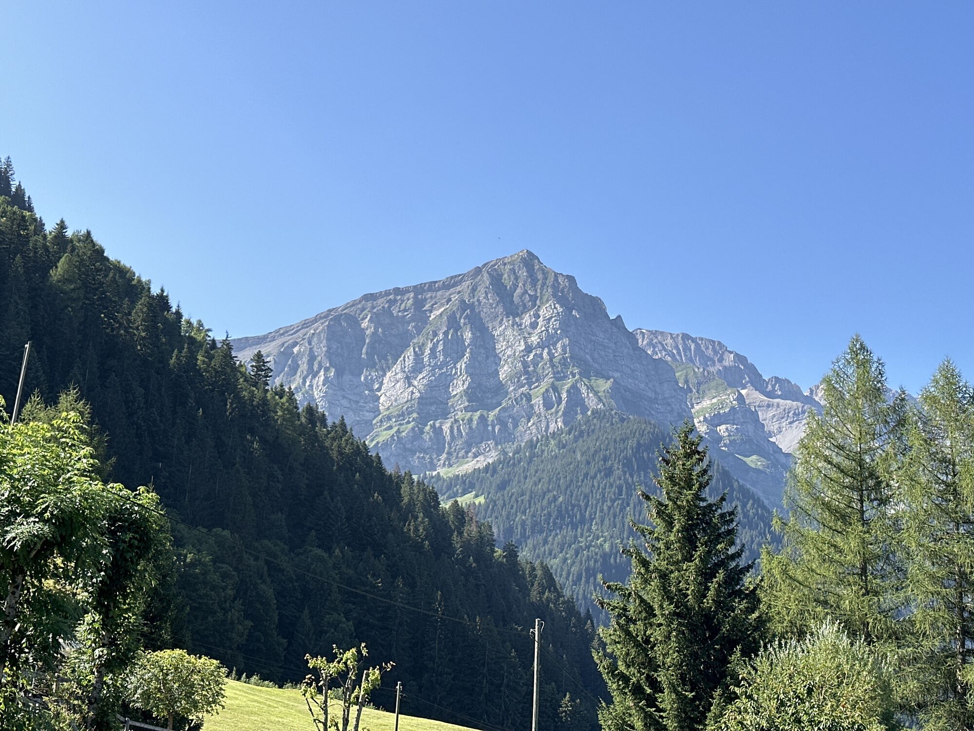
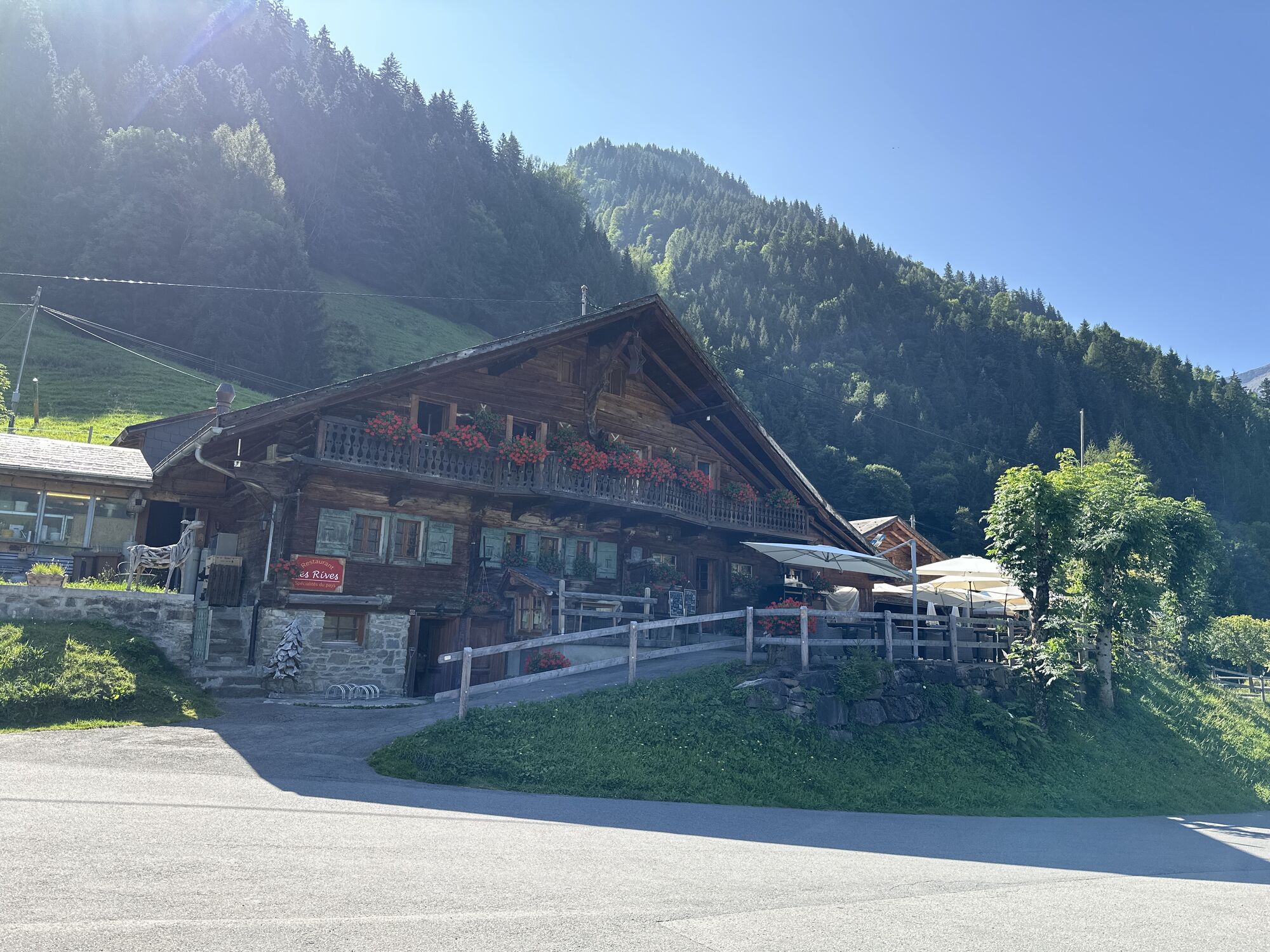
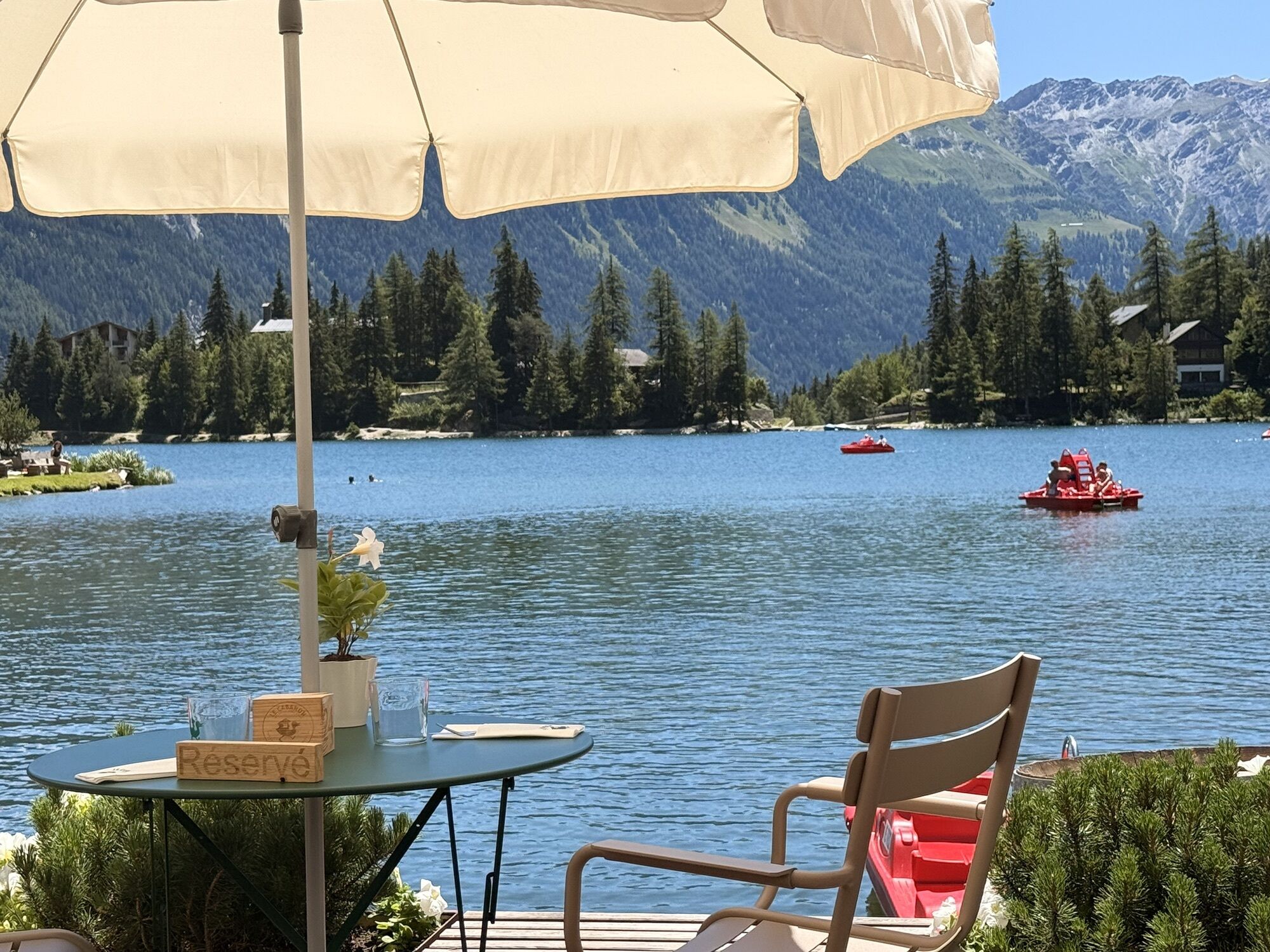
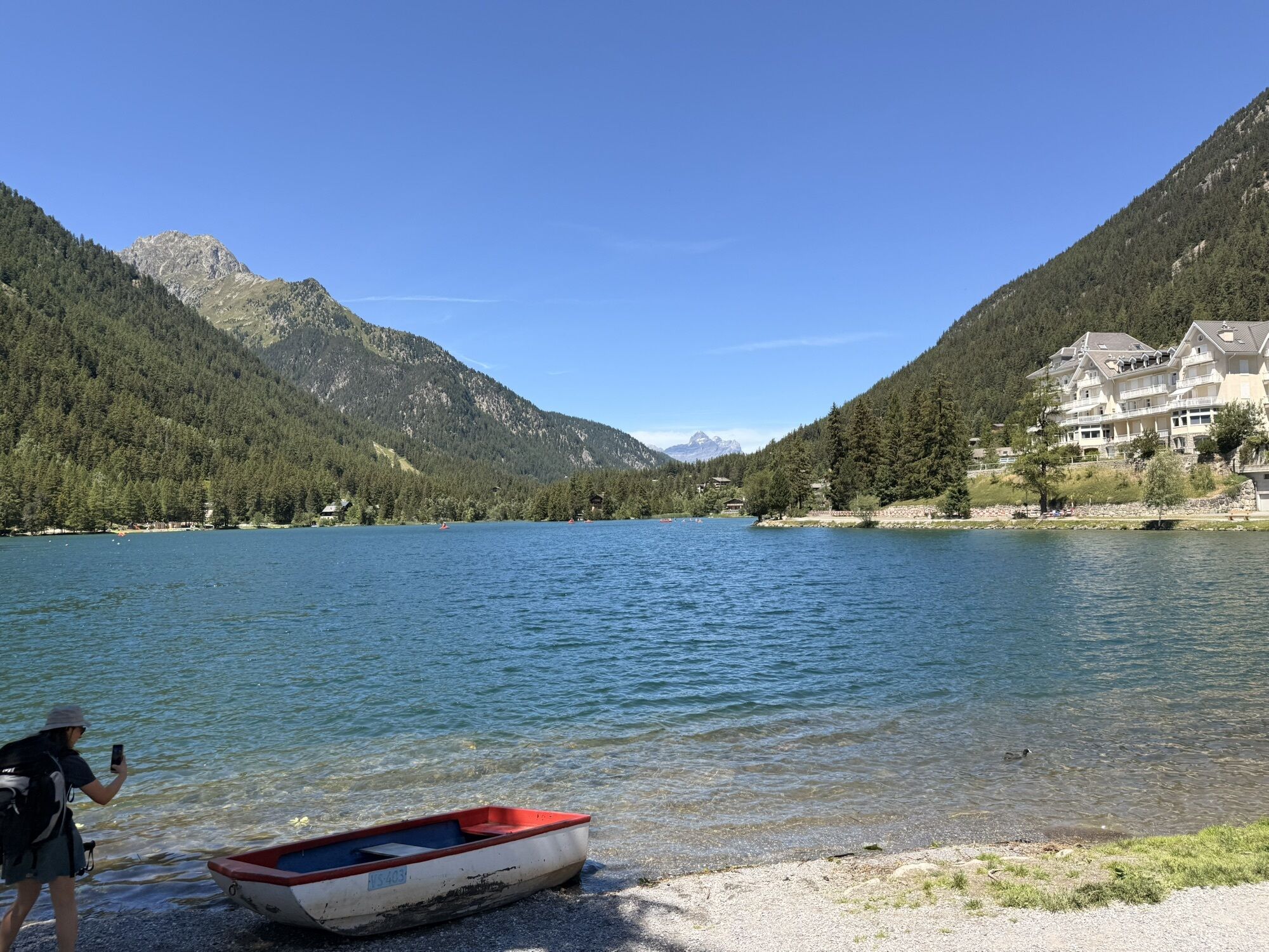
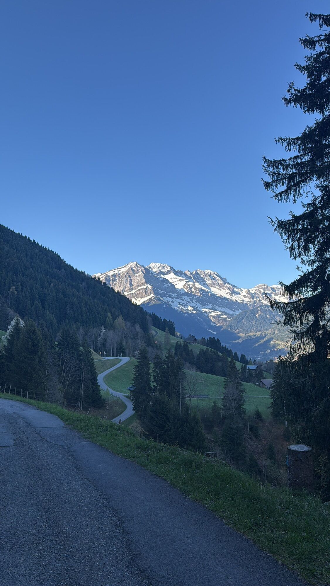
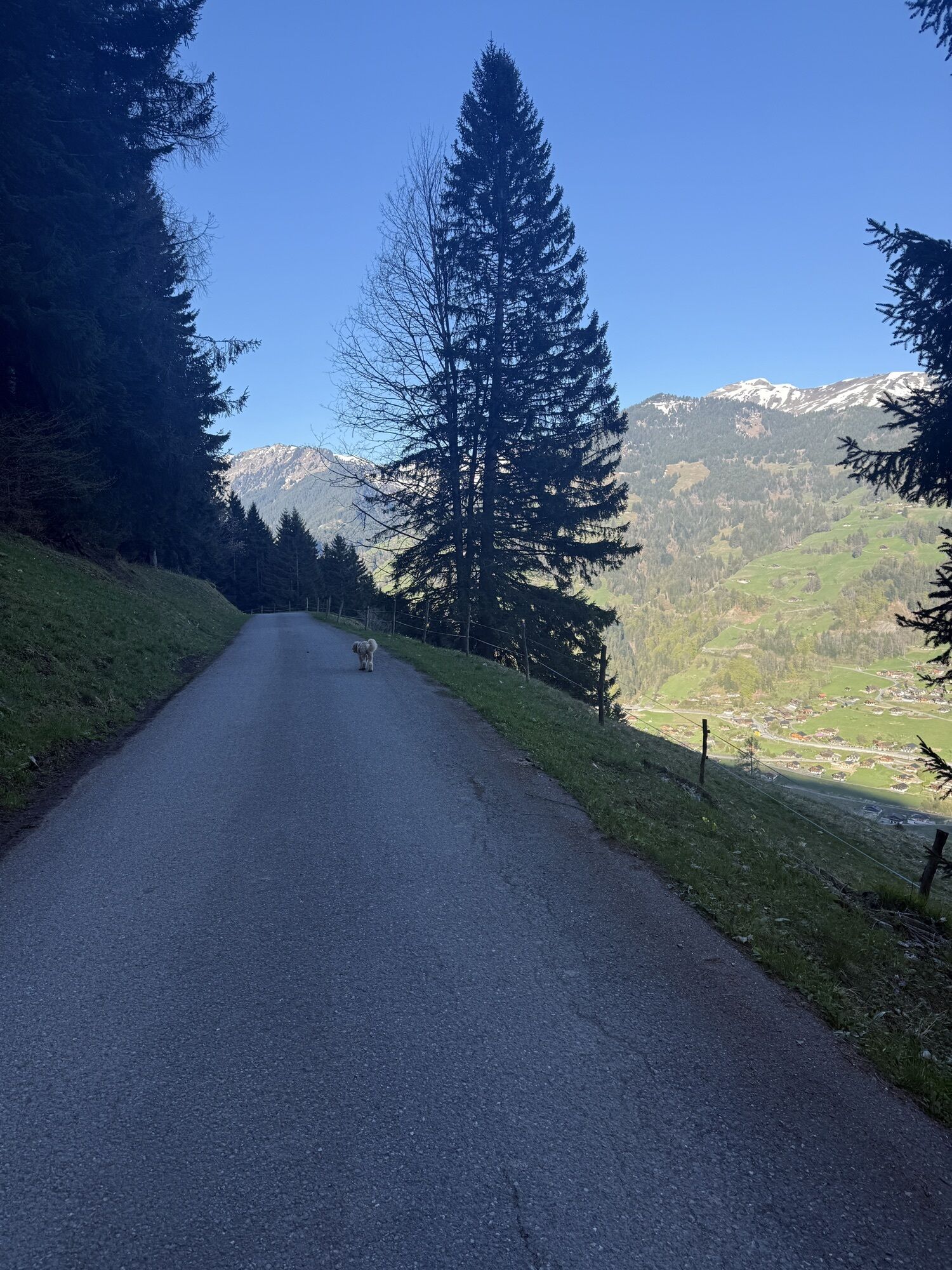
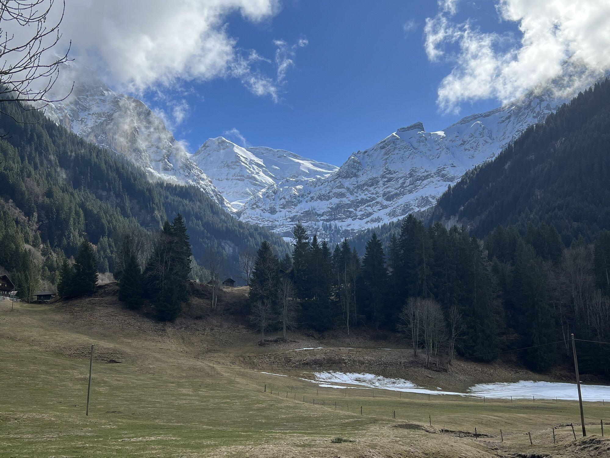
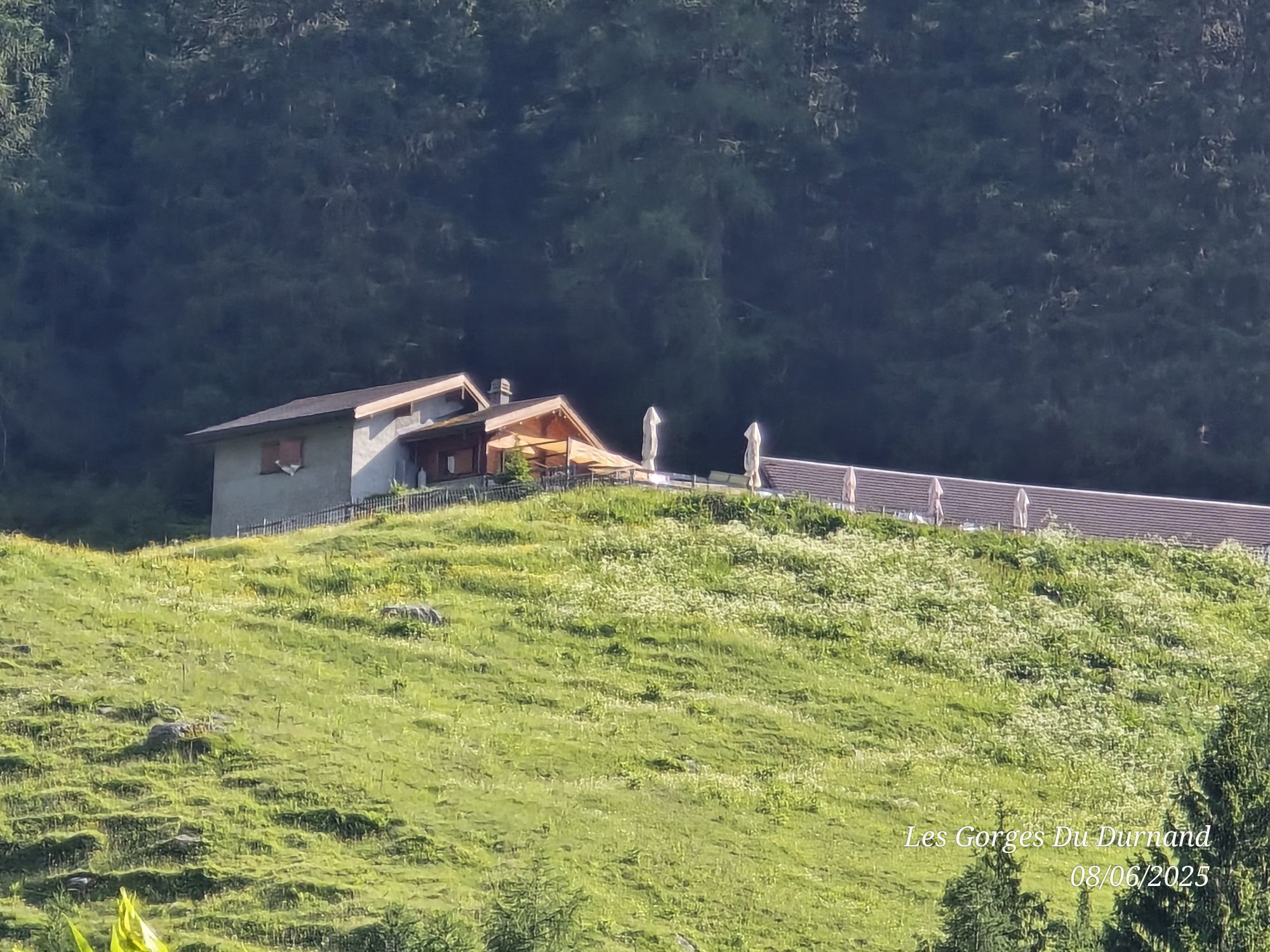

From Verbier you enjoy a unique view of the Combin massif before descending towards Le Châble and then Sembrancher. A climb leads through the village of Orsières and gets steeper until you reach the picturesque...
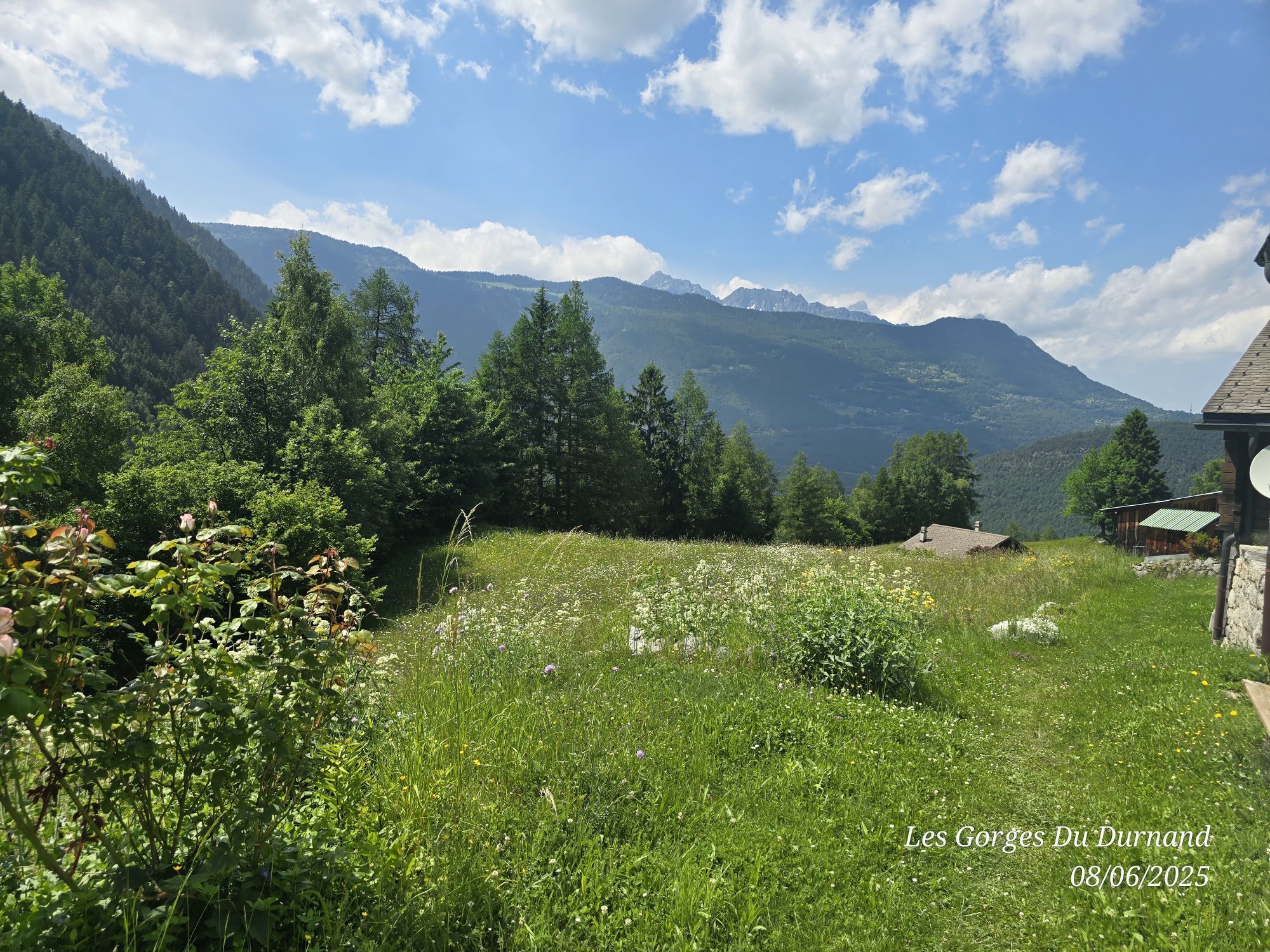
From Verbier you enjoy a unique view of the Combin massif before descending towards Le Châble and then Sembrancher. A climb leads through the village of Orsières and gets steeper until you reach the picturesque Lac de Champex. Then you ride through the Champex valley down towards Martigny. And when you are already in the region, you should not miss the ascent to the Col de la Petite Forclaz, where the 2020 Road Cycling World Championships were held. Via the Route de la Forclaz you return to the valley and then ride towards Lake Geneva. After that, you reach the Val d’Illiez via a climb towards Les Giettes, from where a road runs along the spectacular mountain face of the Dents du Midi to Champéry.

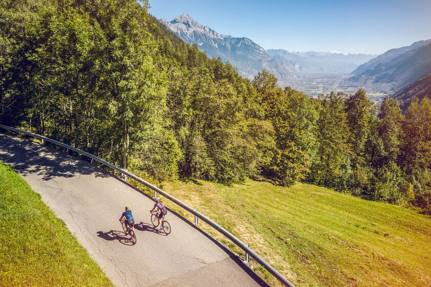
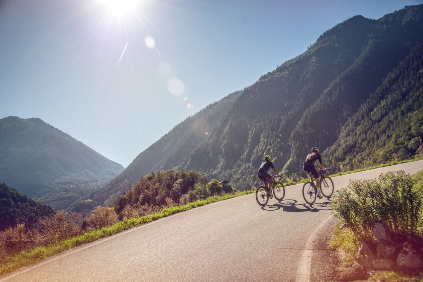
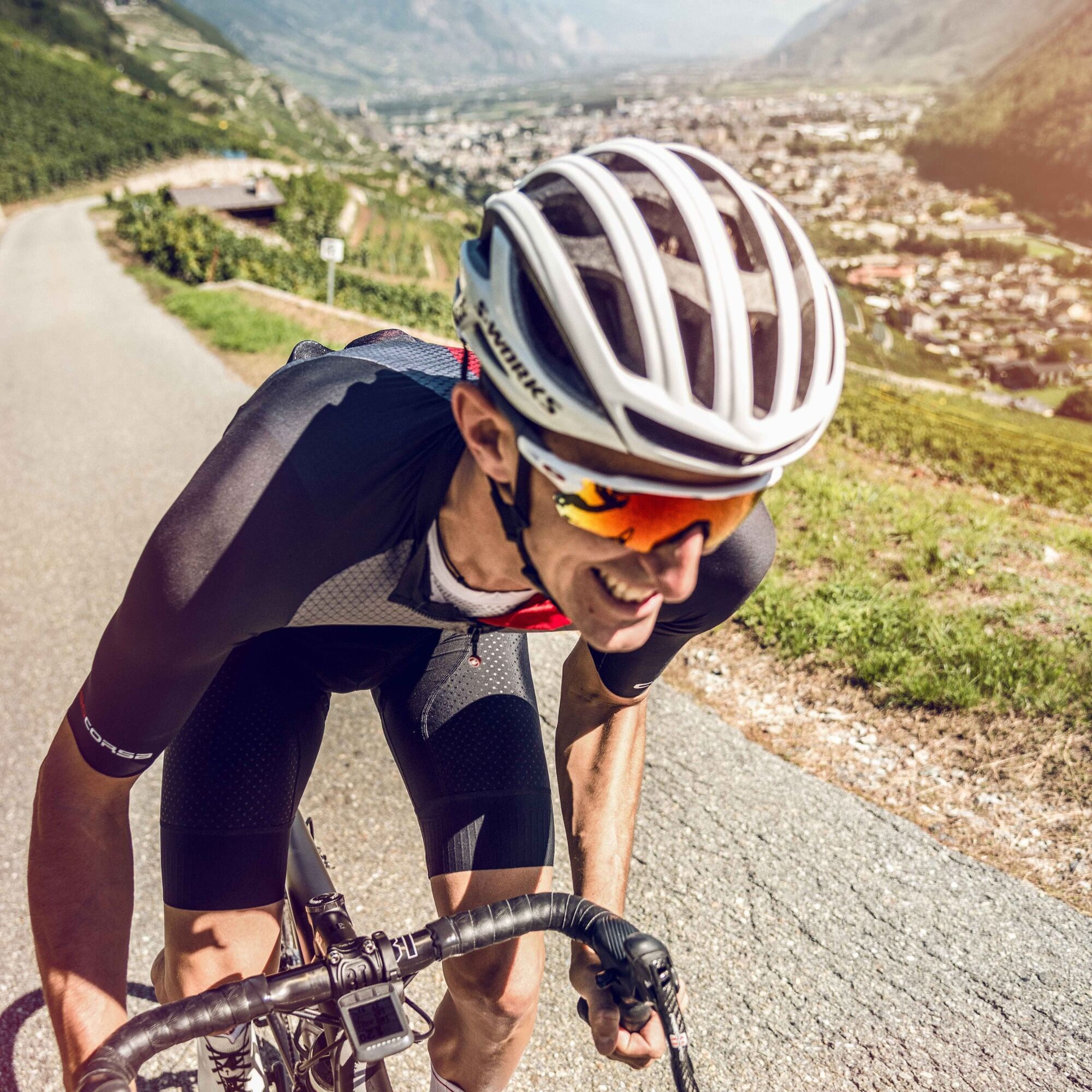

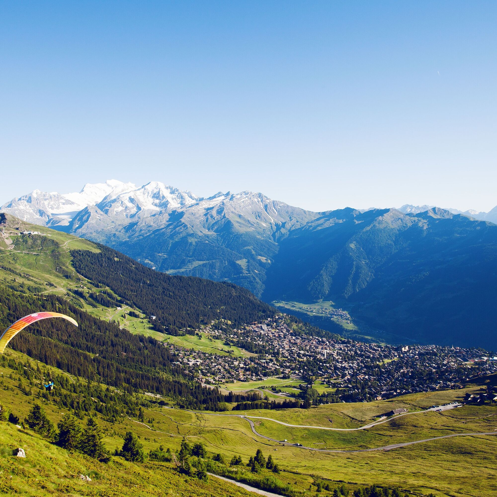
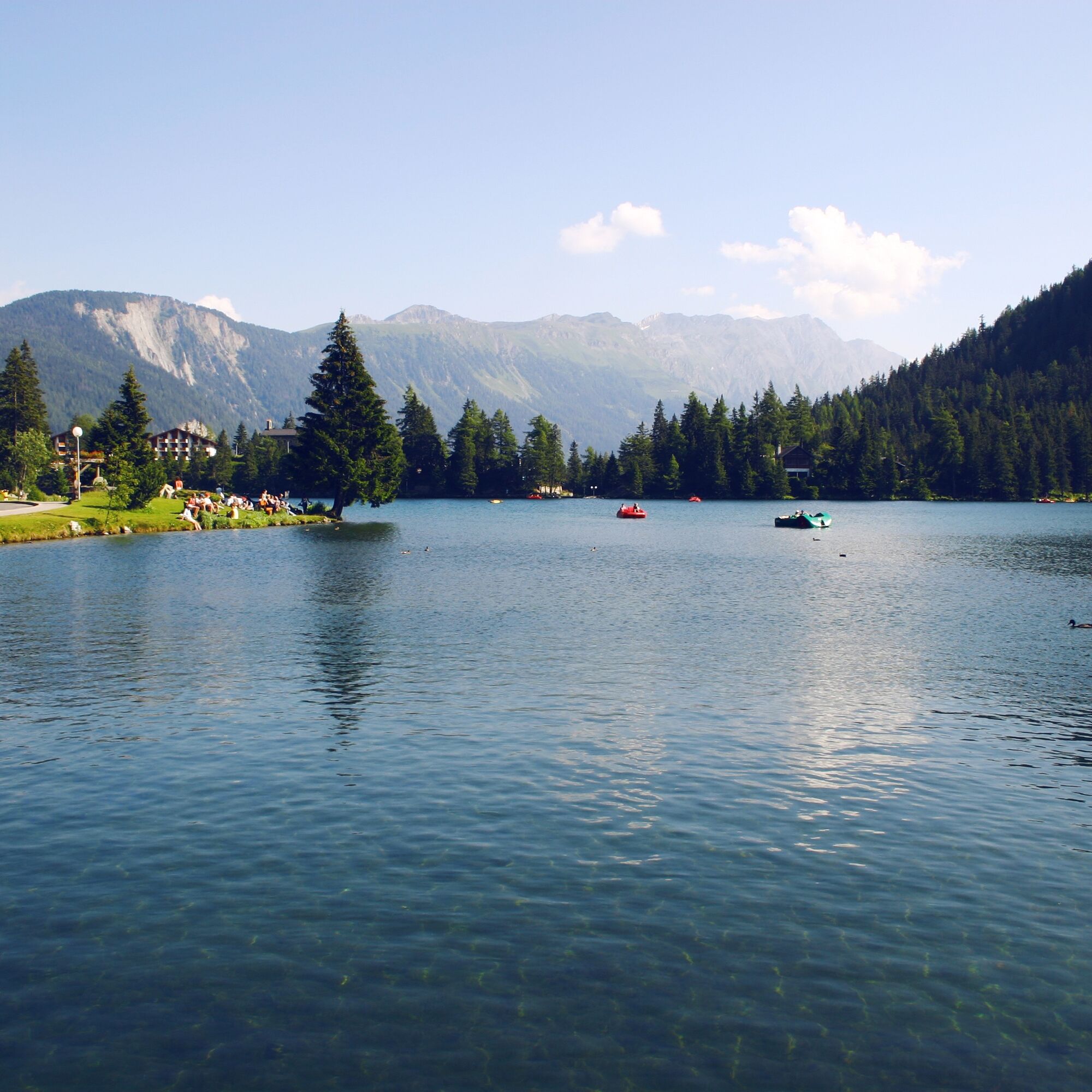


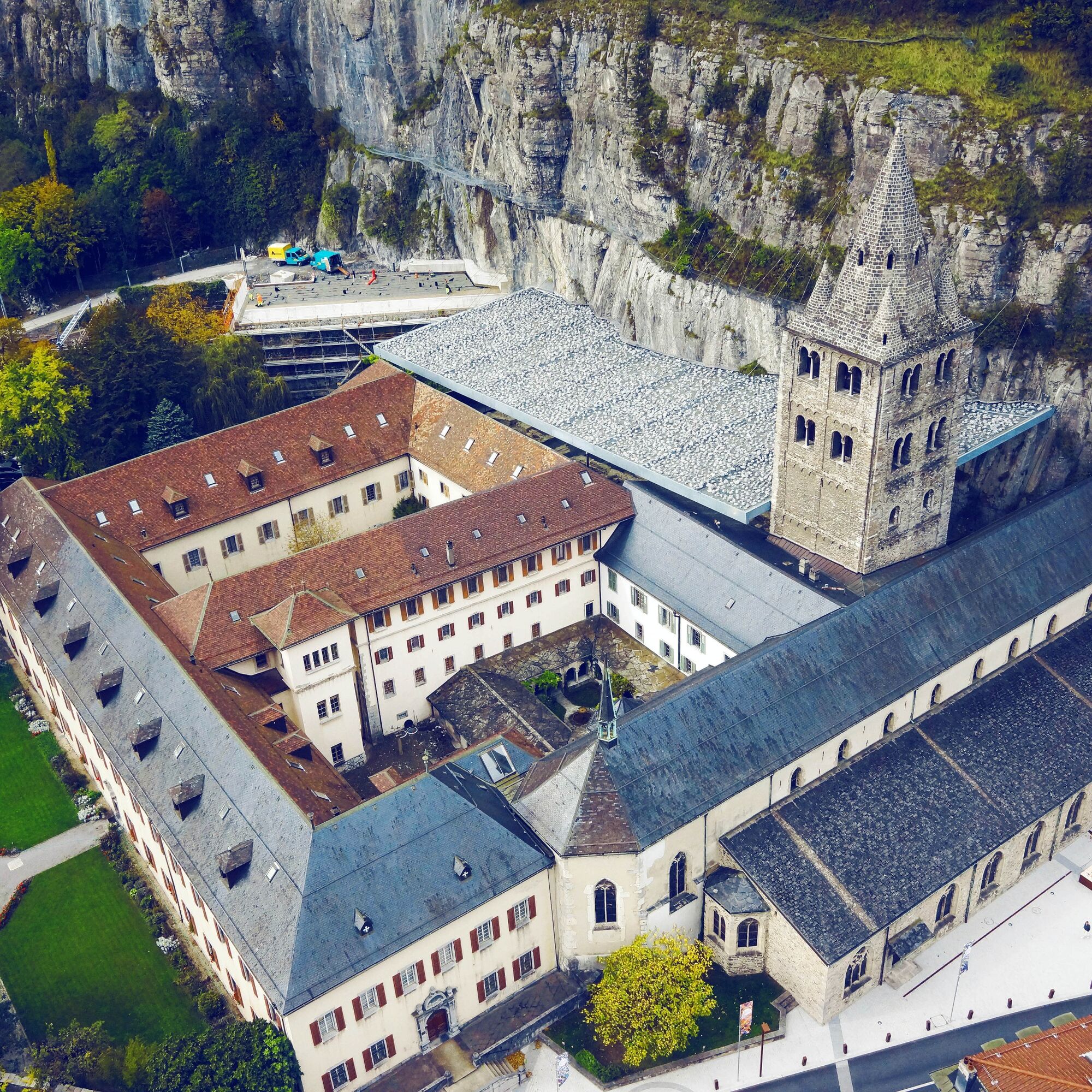

You leave the holiday resort Verbier and the Val de Bagnes behind and head towards the Great St. Bernard and Italy until you reach the village of Orsières. You then continue to the small holiday resort Champex and its enchanting lake. A long descent takes you into the Rhône Valley, where you can tackle the famous Col de la Petite Forclaz before continuing to the ancient Roman town of Martigny. You then cycle towards Saint-Maurice and Lake Geneva, a section where your calves can recover until Massongex. From there, you manage a short climb towards Les Giettes. After the village, you descend back into the Val d’Illiez and finish the stage with the ascent to Champéry, where you are rewarded with a breathtaking panoramic view of the Dents du Midi and La Dent Blanche.
Tak
Tak
Our recommendation: Technically flawless bicycle, helmet, gloves and bell, appropriate clothing depending on the weather (always with you: rain protection), drink and provisions.
Respect the rules of Swiss road traffic. Riding this route is at your own risk, any liability is excluded. Respect the flora and fauna in your surroundings. For your safety, we recommend wearing a bicycle helmet. Emergency numbers: 144 ambulance / 117 police / 1414 Rega. Assess your own skills and fitness well. Riding the various routes is fundamentally at your own responsibility.
From the E27 motorway Martigny Grand Saint Bernard, follow the signs to Grand-Saint-Bernard / Verbier to Sembrancher. Then continue towards Verbier / Le Châble.
Train TMR Martigny to Le Châble, gondola from Le Châble to Verbier.
As this route is a partial section of a stage tour and the starting point does not correspond to the destination (not a round trip), we recommend arriving by public transport. Alternatively, you can use the du Châble car park in Le Châble. Follow the local parking guidance system.
4
Enjoy a stop at the bucolic Champex Lake, after your first real climb of the route. Swimming is allowed here.
Kamery internetowe z trasy
-
Les Attelas
-
Morgins
-
Morgins - Sommet Foilleuse
-
Savoleyres
-
Bruson - 4 Vallées
-
Verbier Médran
-
Grand Conche - Portes du Soleil
-
Verbier - Le Carrefour
-
Sommet de Grand-Conche / Portes du Soleil
-
Les Crosets
-
Champéry
-
La Vuardette
-
Champex-Lac: Les Combins
-
Champex Lac - La Breya
-
Martigny
-
Sommet des Vignes - Martigny
-
Sommet des Vignes - Martigny
-
Sommet des Vignes - Martigny
-
Vernayaz
-
Télémarécottes
-
Trient - Col de la Forclaz
-
Salanfe
-
Troistorrents
-
Sommet de Grand Conche
-
Bex - place du marché
-
Bex - Cime de l'est
Uzyskaj wgląd
Zawsze na żywo z ponad 9 500 kamer internetowych. bergfex Jako użytkownik Pro, możesz teraz zobaczyć odpowiednie kamery internetowe dla wielu wycieczek w aplikacji wycieczki od. Pozwala to na bezpośredni podgląd aktualnych warunków.
Popularne wycieczki w okolicy
-
4,6
From Saillon to the Farinet suspension bridge
średniWędrówka 7,86 km -
5,0
Sentier de Salanfe
średniWędrówka 12,8 km -
5,0
Huts of Orny and Trient
ciężkiWędrówka 13,4 km -
3,5
Lac d'Emosson - Gorge de la Veudale - Col de la Terrasse - Lac du Vieux Emosson zurück nach Lac d'Emosson
średniWędrówka 14,3 km -
Tour du Grand Chavalard
średniWędrówka 14,9 km -
5,0
Tour de La Seya hike
średniWędrówka 8,09 km -
Via Farinetta
ciężkiVia ferrata 6,41 km -
4,5
Vineyard terrace hike in Martigny
światłoWędrówka 6,36 km -
Champéry - Seen von Antème
Wędrówka 14,8 km -
4,0
Six blanc depuis Cabine
średniWycieczka narciarska 5,85 km
Wędrówki i tropienie


Nie przegap ofert i inspiracji na następne wakacje
Twój adres e-mail została dodana do listy mailingowej.





