






Turtmanntal - Scenic & side valleys
The Turtmanntal is a valley worth discovering! Using your own pedal power, you’ll leave the flatlands behind and quickly reach the villages of Unterems and Oberems. The second part of the climb will see...
The Turtmanntal is a valley worth discovering! Using your own pedal power, you’ll leave the flatlands behind and quickly reach the villages of Unterems and Oberems. The second part of the climb will see you tackle less steep gradients on the mountain side. But be patient, the valley is not yet in sight. After 15 kilometres of climbing, you’ll ultimately be rewarded with a wild and unspoilt alpine setting.

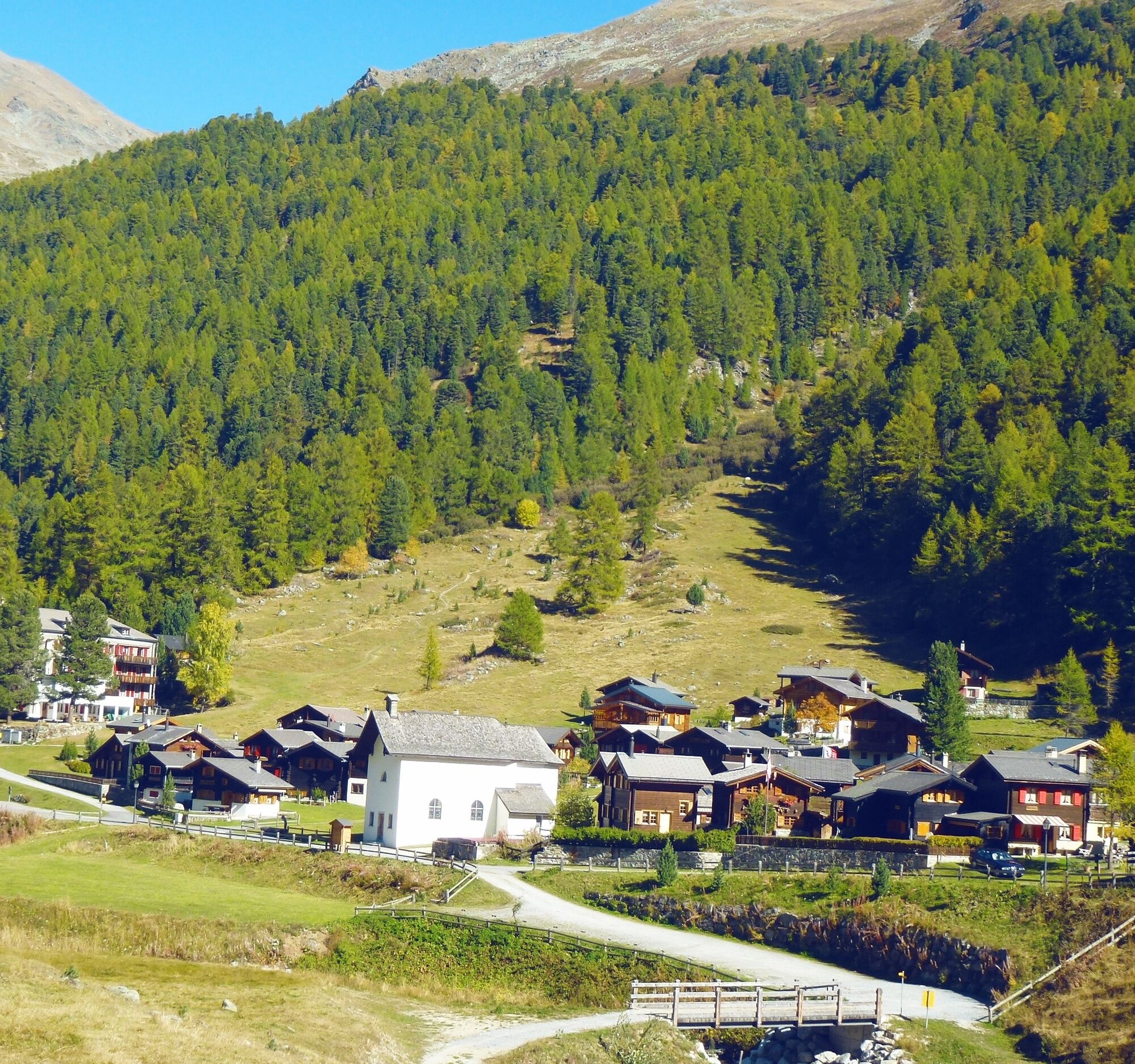

Leaving the village of Turtmann, several hairpin bends bring you to a junction where the road splits and heads off towards either the Turtmanntal valley or the plateau of Eischoll/Bürchen. Taking the road to the right, you’ll pass through the villages of Unterems and Oberems. If necessary, take the cable car and spare yourself the effort of this part of the ascent; from here the valley opens out and the gradient becomes more gentle as you peddle towards the end of the tarmac road. What’s more, this untamed countryside can be explored on foot, by mountain bike or, in winter, on ski skins.
We recommend: bike in excellent working order, helmet, gloves and bell, clothing suitable for the weather (always carry a waterproof), food and drink.
Strictly respect the Swiss traffic rules. Please note that you are running the tour at your own risk and all liability is refused. Please be considerate to plants and animals. For your own safety, wear an helmet every time you ride a bike. Emergency numbers: 144 Ambulance / 117 Police / 1414 Helicopter Rescue (Rega). When planning, take into account participants’ fitness level and ability. All riding is at one’s own risk.
Coming from Sierre or Visp, take the cantonal street number 9 to Turtmann.
Take the regional trains on the Simplon line to Turtmann.
Parking possibilities at the train station and in the centre of Turtmann. Follow the local car park routeing.
More information:
TurtmanntalThe cable car can take you up to the village of Oberems, thus considerably shortening this part of the climb.

Kamery internetowe z trasy
-
Brandalp - Skilift Seefeld
-
Eischoll - Stryggen
-
Jeizinen - Feselalpe
-
Brandalp - Skilift Seefeld
-
Brandalp - Skilift Seefeld
-
Brandalp - Skilift Seefeld
-
Brandalp - Skilift Seefeld
-
Trächu Hittu / Untere Feselalpe
-
LGJ Bergstation
-
Brandalp - Skilift Seefeld
-
Brandalp - Skilift Seefeld
-
Brandalp - Skilift Seefeld
-
Brandalp - Skilift Seefeld
-
Turtmanntal
Uzyskaj wgląd
Zawsze na żywo z ponad 9 500 kamer internetowych. bergfex Jako użytkownik Pro, możesz teraz zobaczyć odpowiednie kamery internetowe dla wielu wycieczek w aplikacji wycieczki od. Pozwala to na bezpośredni podgląd aktualnych warunków.
Popularne wycieczki w okolicy
-
5,0
Moosalp Panoramaweg
światłoWędrówka 6,36 km -
5,0
Bella-Tola
średniWycieczka wysokogórska 6,72 km -
5,0
Restipass
Wędrówka 14,5 km -
5,0
Torrenthorn- Rigi der Walliser Alpen
Wędrówka 2,99 km -
Gratweg
Via ferrata 5,16 km -
4,0
Wolfstritt
Wędrówka 7,02 km -
Talabfahrt (Rinderhütte-Tunnel-Folljeret-Leukerbad)
Wędrówka 7,78 km -
5,0
Klettersteig Daubenhorn
ciężkiVia ferrata 5,34 km -
Majingbärgji
Wędrówka 13,4 km -
Kinderwanderweg MoosAlbi uns seine Waldtiere
światłoWędrówka 3,50 km
Wędrówki i tropienie


Nie przegap ofert i inspiracji na następne wakacje
Twój adres e-mail została dodana do listy mailingowej.





