






Tour du Mont-Blanc Bike: Champex - Grand Col Ferret
Poziom trudności: S1
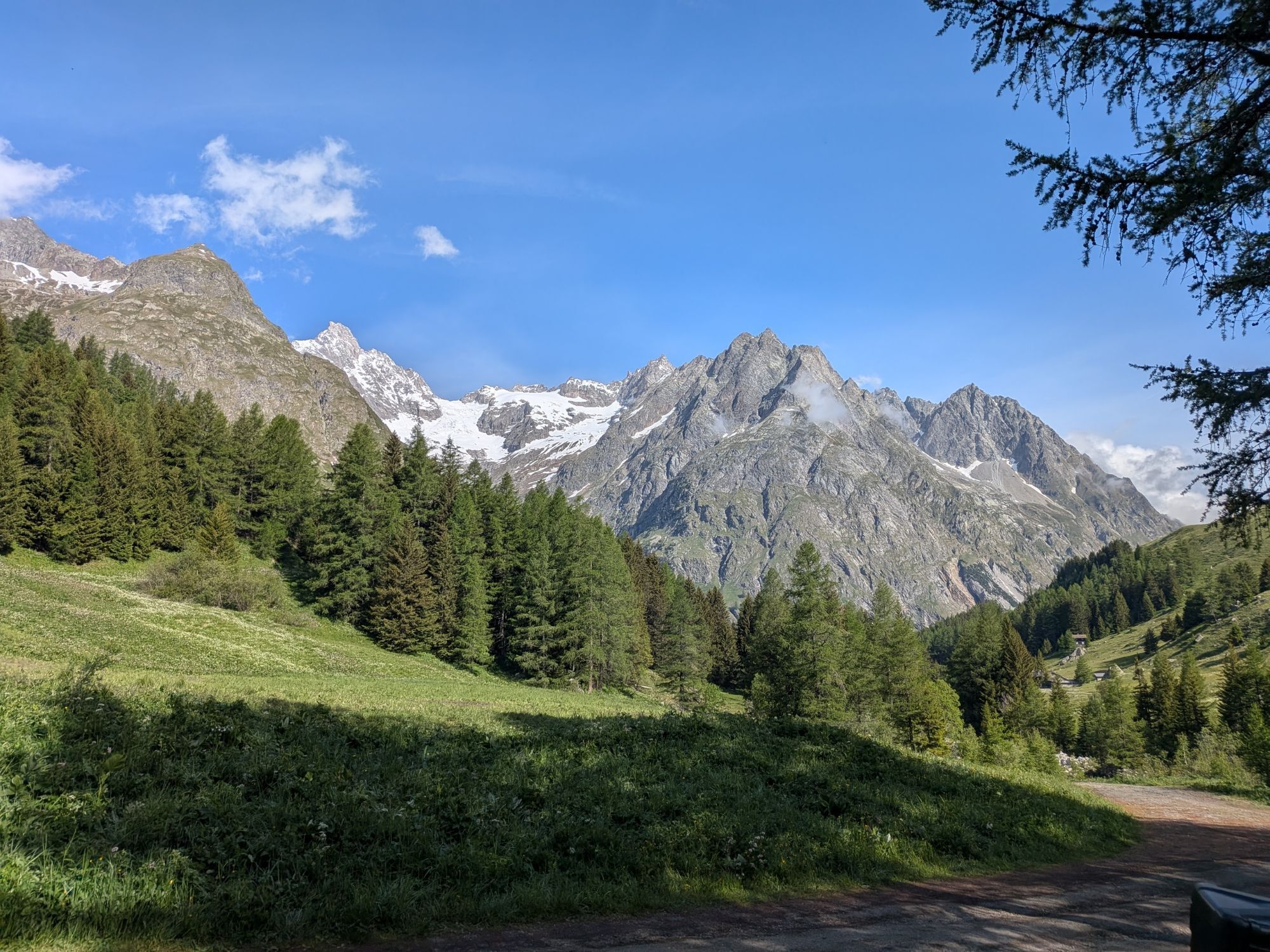
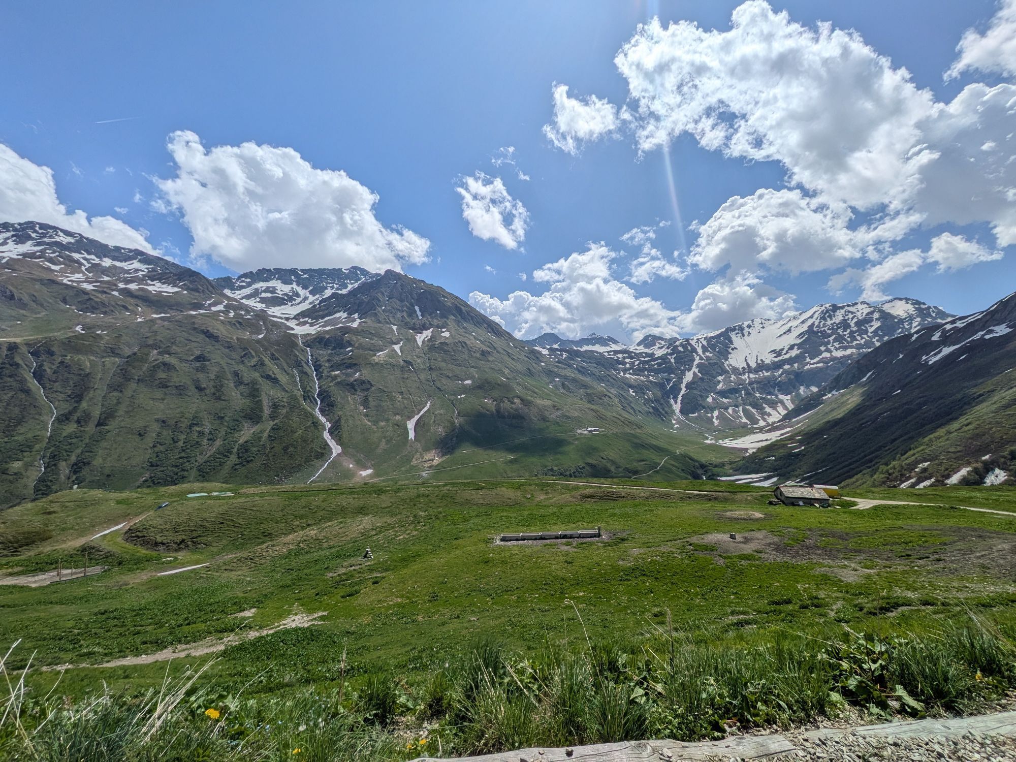
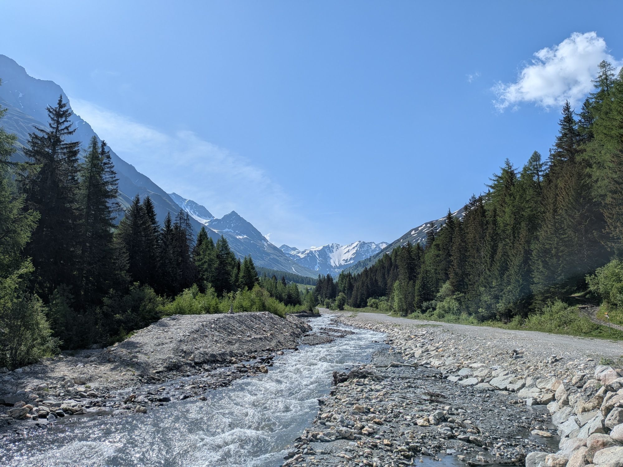
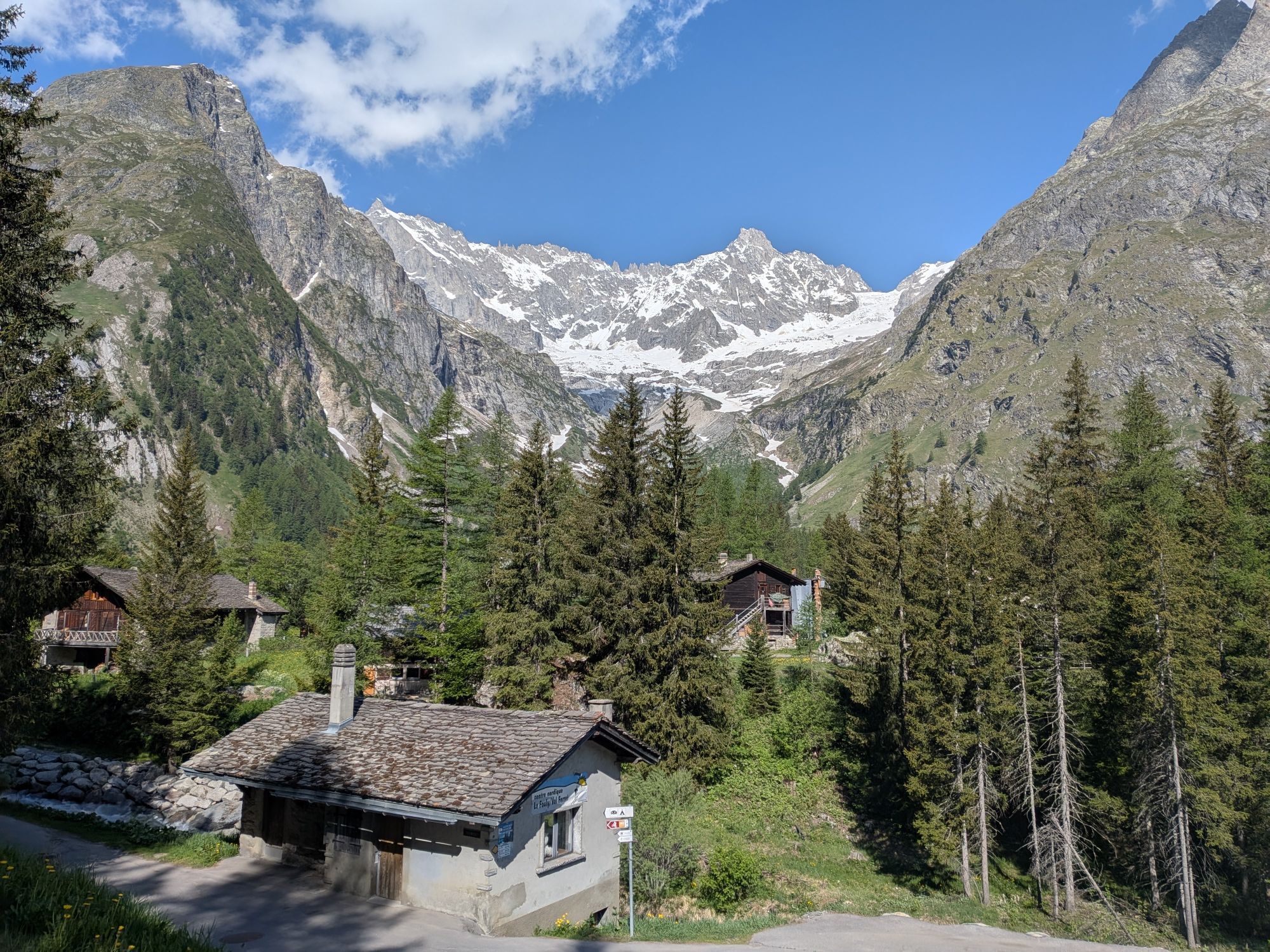
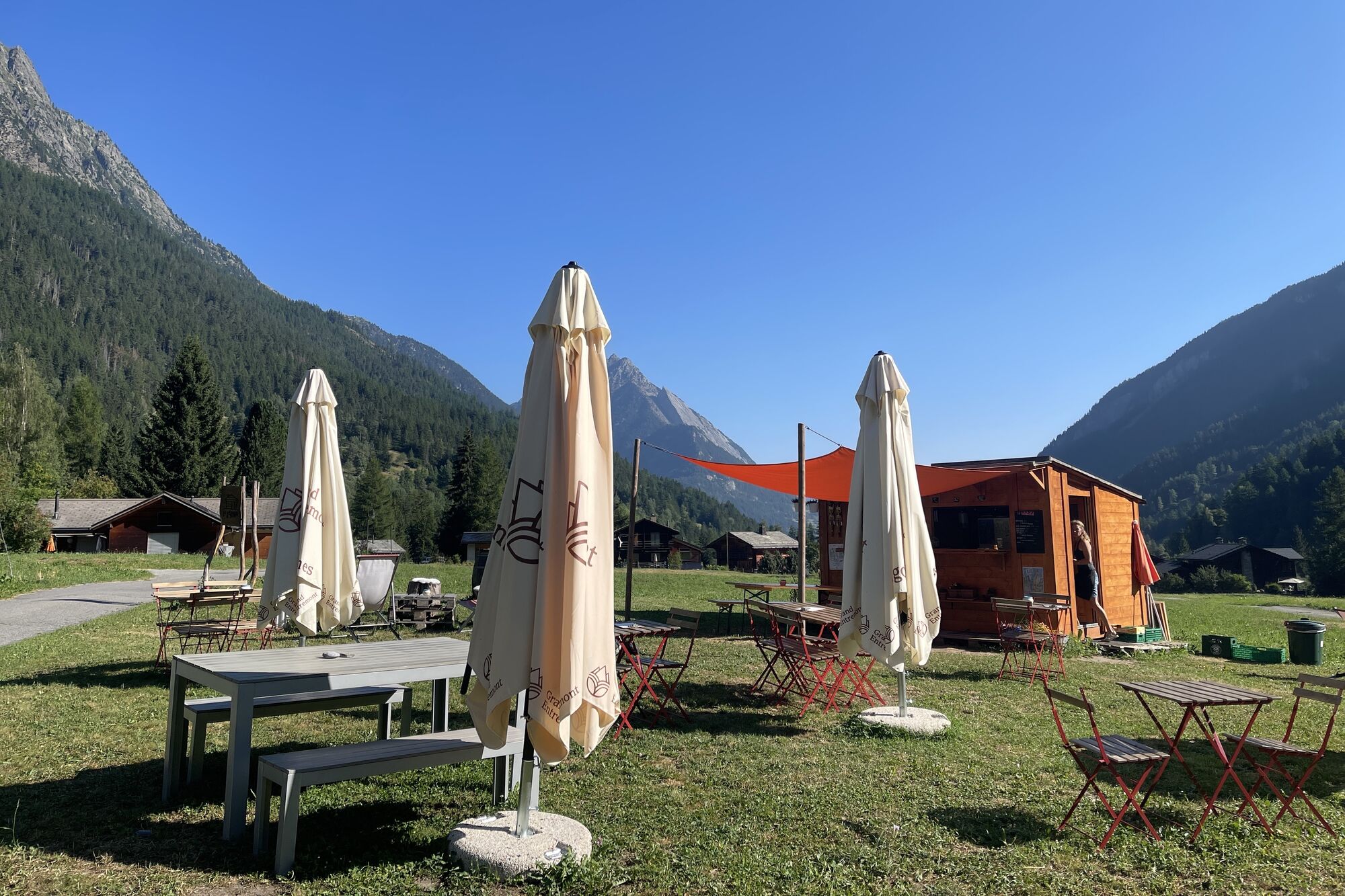

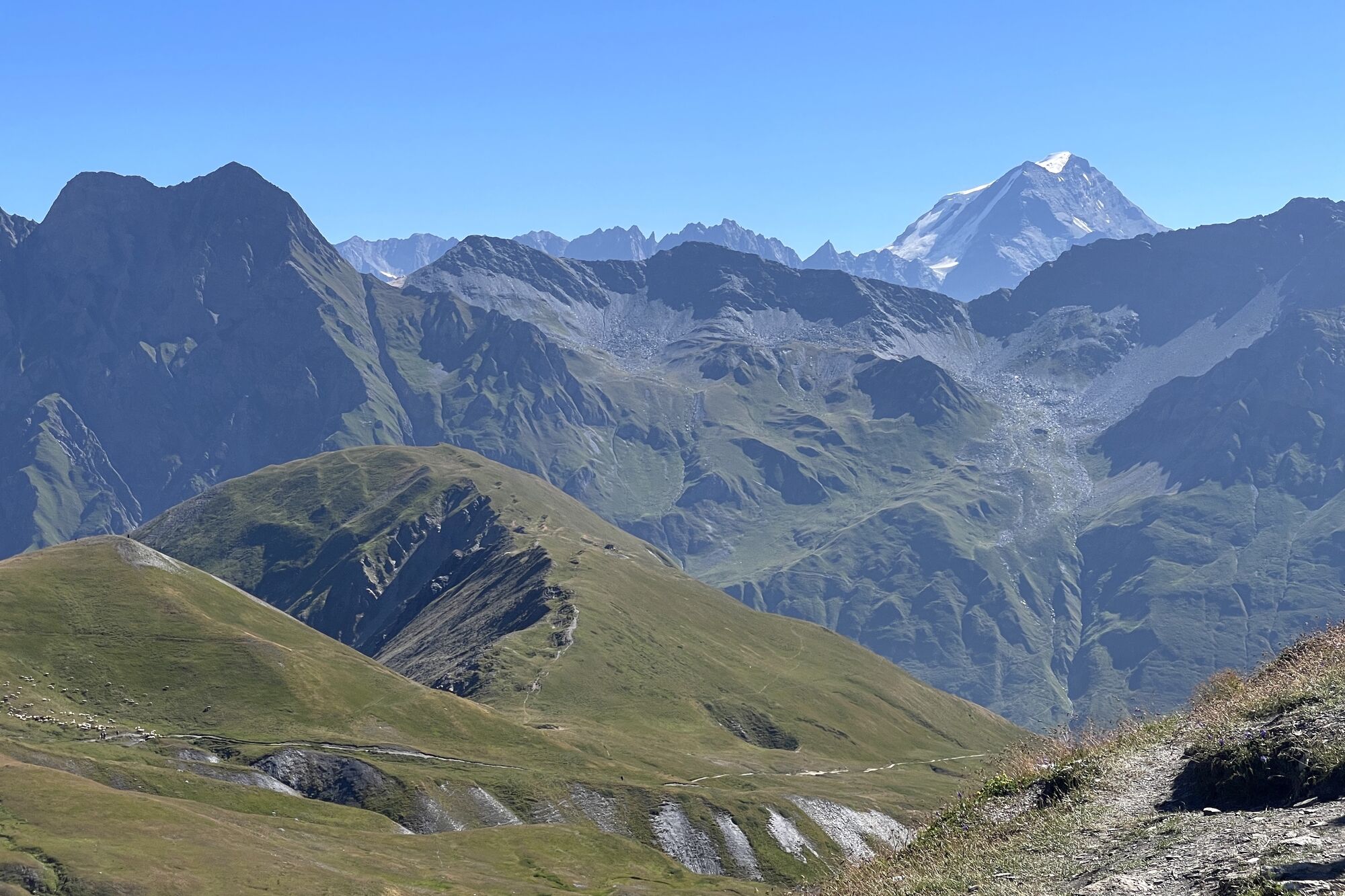
The start of this route is in the idyllic village of Champex-Lac at 1467 meters elevation. On this bike route, you pass through the villages Issert, Praz-de-Fort, and La Fouly and reach up to the Italian...
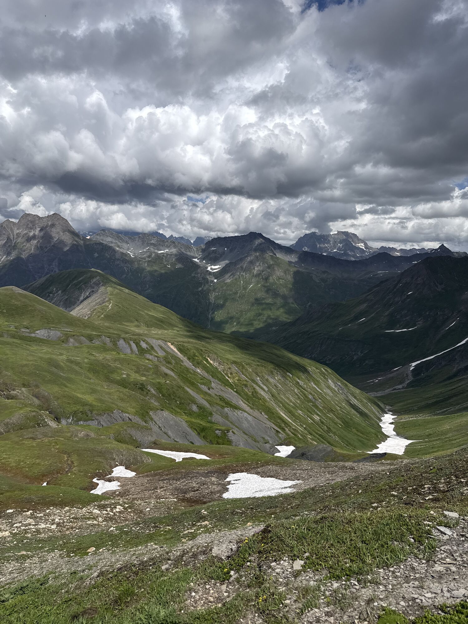
The start of this route is in the idyllic village of Champex-Lac at 1467 meters elevation. On this bike route, you pass through the villages Issert, Praz-de-Fort, and La Fouly and reach up to the Italian border at 2537 meters. If you want to take a well-deserved break, you should do so at Alp Peule. Then continue your ascent to Grand Col Ferret at the Italian-Swiss border. Once at the top, you can either continue to Courmayeur in Italy or return the same way to Champex-Lac.


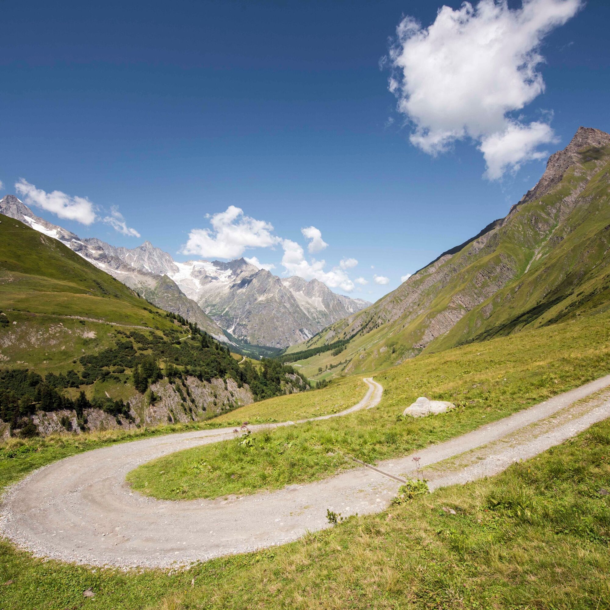
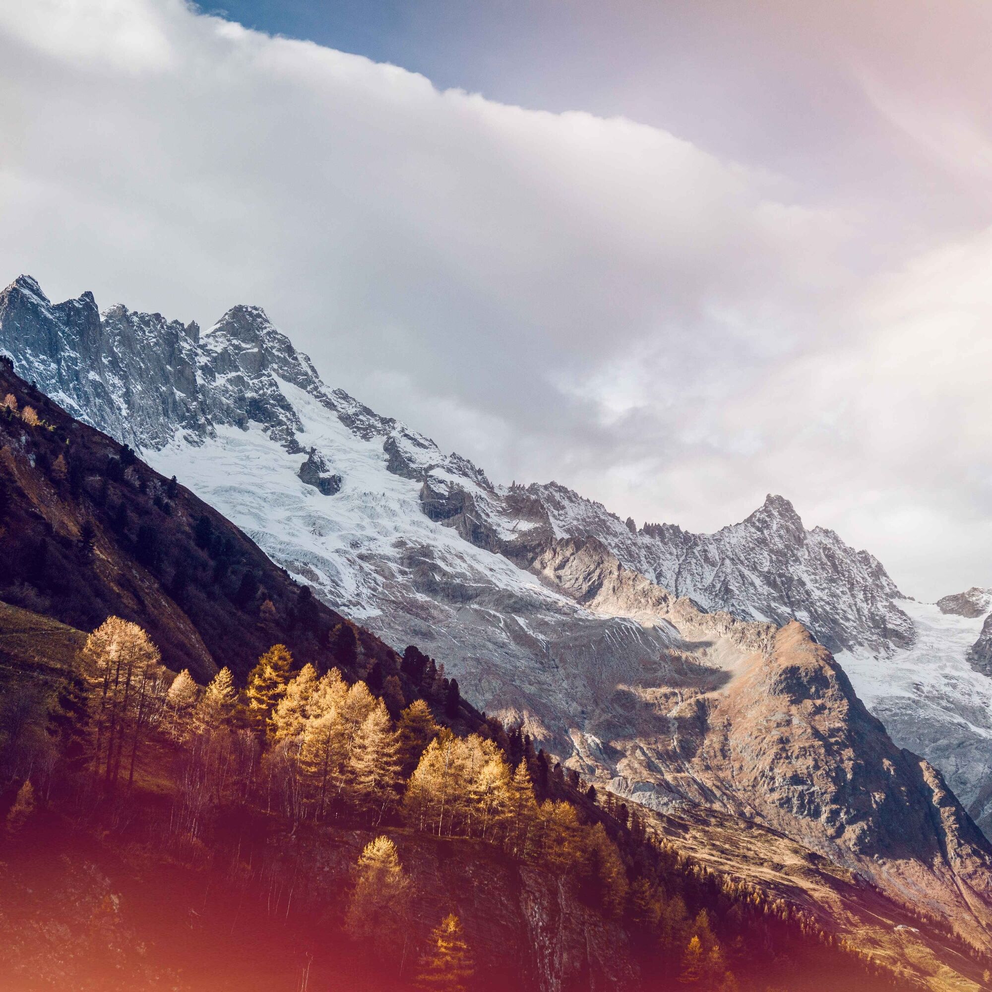
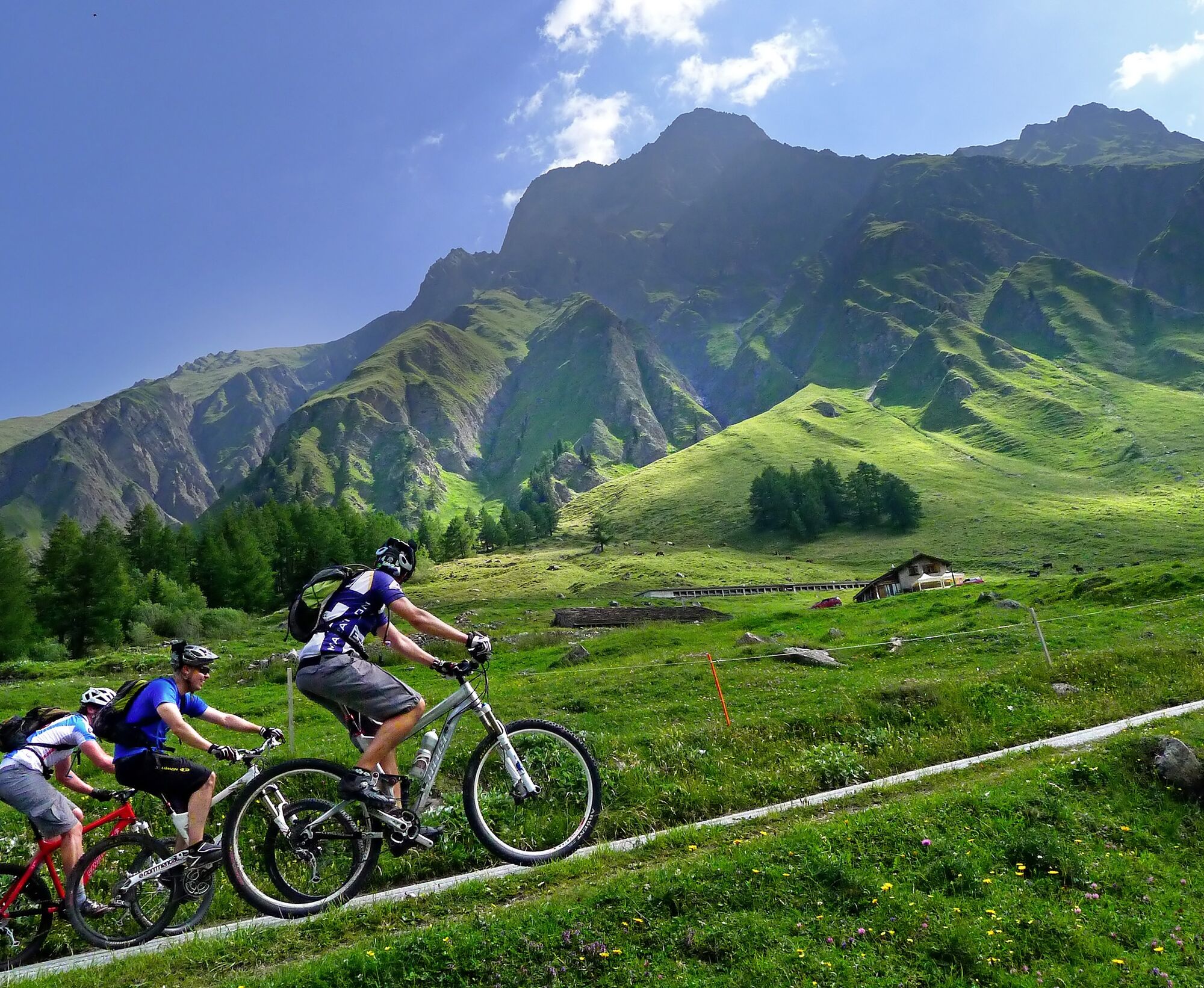
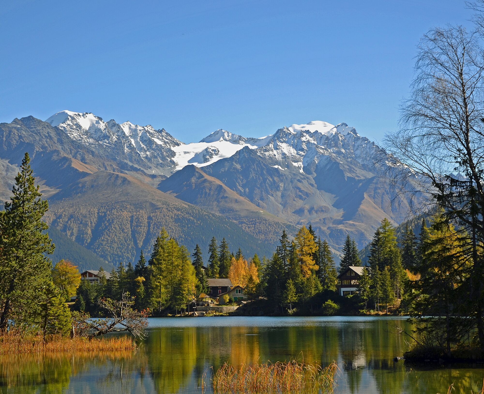
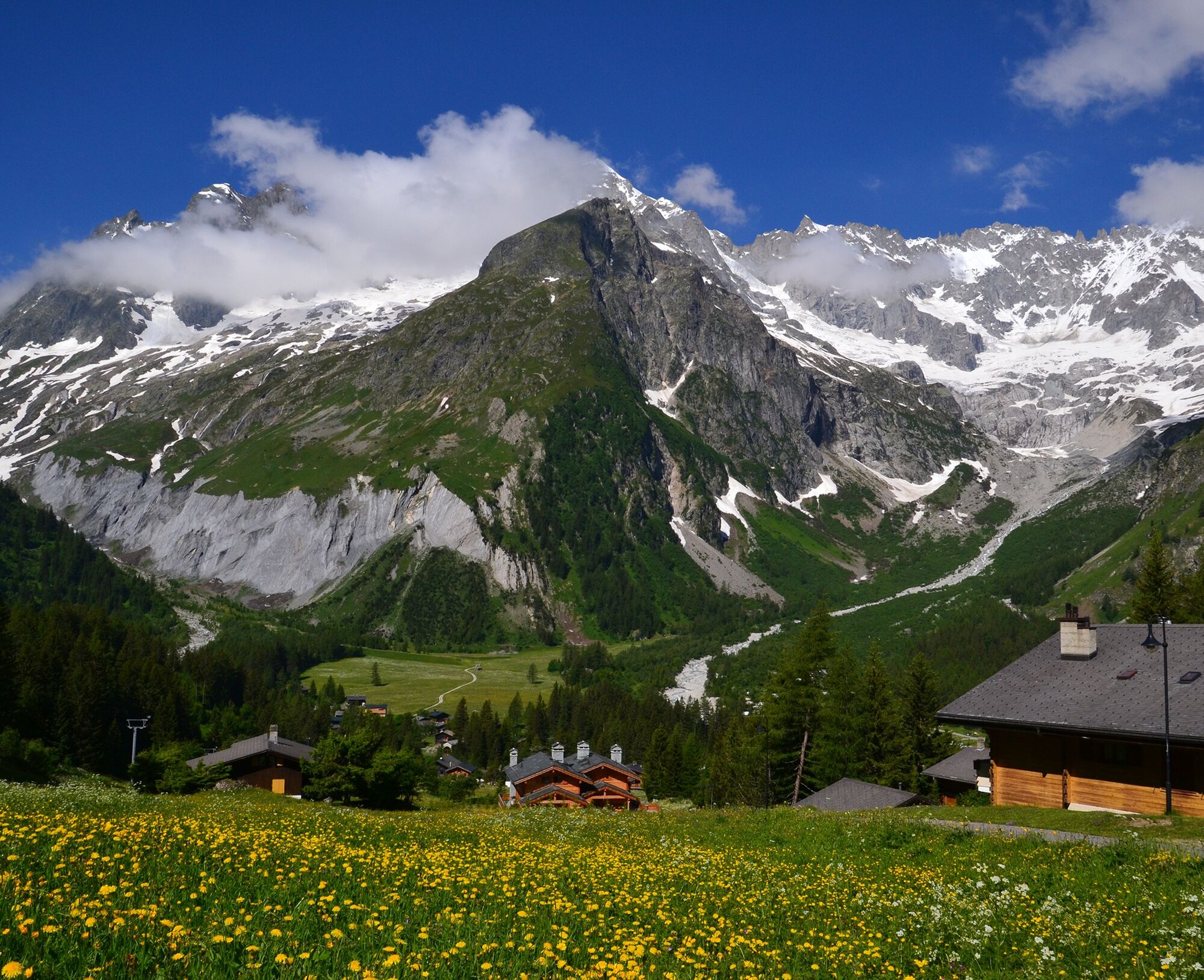

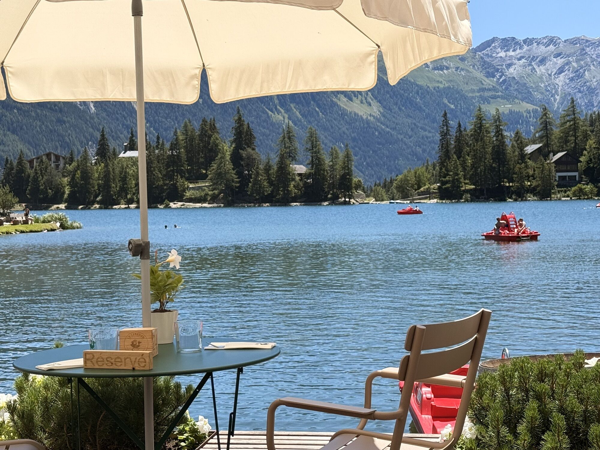
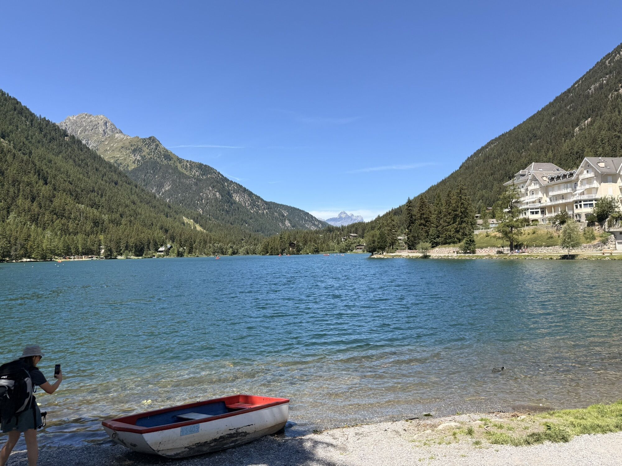
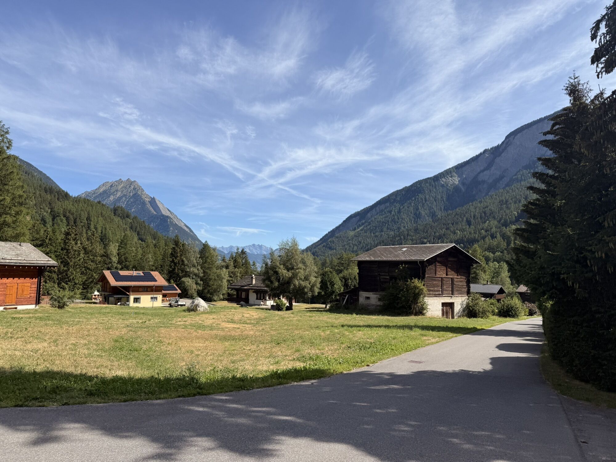
The route begins with a crossing of the resort Champex-Lac on the main road. Enjoy the view of the lake and the Combins massif. On the descent towards Orsières, turn right onto the gravel road after the second curve. This leads down to the cantonal road in Val Ferret. Before the entrance to Issert, turn left and continue beneath the village until Praz-de-Fort. You cross the Saleinaz plateau and then take the main road for about 200 meters. Then turn left. At the height of Branche d’en Bas, you reach the cantonal road again. The route first leads along the left riverbank to Branche d’en Haut, then again along the right bank over the cantonal road and through the hamlet of Prayon. It then continues through the forest to La Fouly. Then continue towards Ferret and then to Ars Dessous. Turn right onto the gravel road and cross the river. Finally, you ride up to Alp Peule and follow the path to Grand Col Ferret.
Our recommendation: technically flawless bike, helmet, gloves and bell, clothing suitable for the weather (always bring rain protection), drink and food.
Preparation of the mountain bike route
The mountains, a place of joy to share and respect. The mountain world is a place to meet and experience unforgettable moments together – whether by bike or on foot. For everyone to benefit from it, it is essential to share this space with respect for nature and agriculture. Respectful behavior enables everyone to practice their leisure activities under the best conditions. Inform yourself about recommendations and rules. Assess your own skills and fitness well. Traveling the various routes is always at your own risk.
Take the motorway exit «Martigny» and drive towards Great Saint Bernard. At Orsières, turn right to Champex-Lac.
Take the train to Orsières. From there, the TMR bus takes you to Champex-Lac or La Fouly. Remember to reserve a place for your mountain bike either via the SBB Mobile app or on sbb.ch.
Free parking is available at the Champex-Lac cable car station.
S1
More information:
The lake of Champex-Lac is a true natural jewel. It is suitable for many activities such as stand-up paddling, pedal boating, or fishing.
Kamery internetowe z trasy
Uzyskaj wgląd
Zawsze na żywo z ponad 9 500 kamer internetowych. bergfex Jako użytkownik Pro, możesz teraz zobaczyć odpowiednie kamery internetowe dla wielu wycieczek w aplikacji wycieczki od. Pozwala to na bezpośredni podgląd aktualnych warunków.
Popularne wycieczki w okolicy
-
5,0
Les cols du Grand-St-Bernard
ciężkiWędrówka 11,9 km -
5,0
Huts of Orny and Trient
ciężkiWędrówka 13,4 km -
4,0
Six blanc depuis Cabine
średniWycieczka narciarska 5,85 km -
4,0
Super mooi
ciężkiWędrówka 11,1 km -
5,0
Grand Chenalette, Pointe de Drone Rundwanderung
ciężkiWędrówka 6,01 km -
Chemin des villages et hameaux d'Entremont
światłoWędrówka 13,8 km -
Through the original valley "La combe de l’A"
ciężkiWędrówka 21,2 km -
5,0
Goldtoni - Alpenbogen A063 Relais d'Arpette-Col du Grand Saint Bernard
średnidługodystansowy szlak pieszy 33,3 km -
5,0
Orsières - Arpette - Cabane d'Orny - Cabane du Trient
ciężkiWędrówka 12,1 km -
5,0
Goldtoni - Alpenbogen A062 Le Buet-Relais d'Arpette
ciężkidługodystansowy szlak pieszy 23,5 km
Wędrówki i tropienie


Nie przegap ofert i inspiracji na następne wakacje
Twój adres e-mail została dodana do listy mailingowej.





