Nawigacja
Pobierz tę trasę na swój telefon komórkowy
Mapa
Valais Alpine Bike 5. Brig - Wiler (Lötschen)
ciężki
Mountainbike
40,01 km
Zeskanuj kod QR i rozpocznij nawigację w aplikacji bergfex.
QR Code
Wędrówki i tropienie

Valais Alpine Bike 5. Brig - Wiler (Lötschen)

Odległość
40,01 km
Czas trwania
06:00 h
Ascent
2 847 hm
Poziom morza
630 - 2 308 m

Poziom trudności: S2
Ścieżka do pobrania
Mapa
Valais Alpine Bike 5. Brig - Wiler (Lötschen)
ciężki
Mountainbike
40,01 km

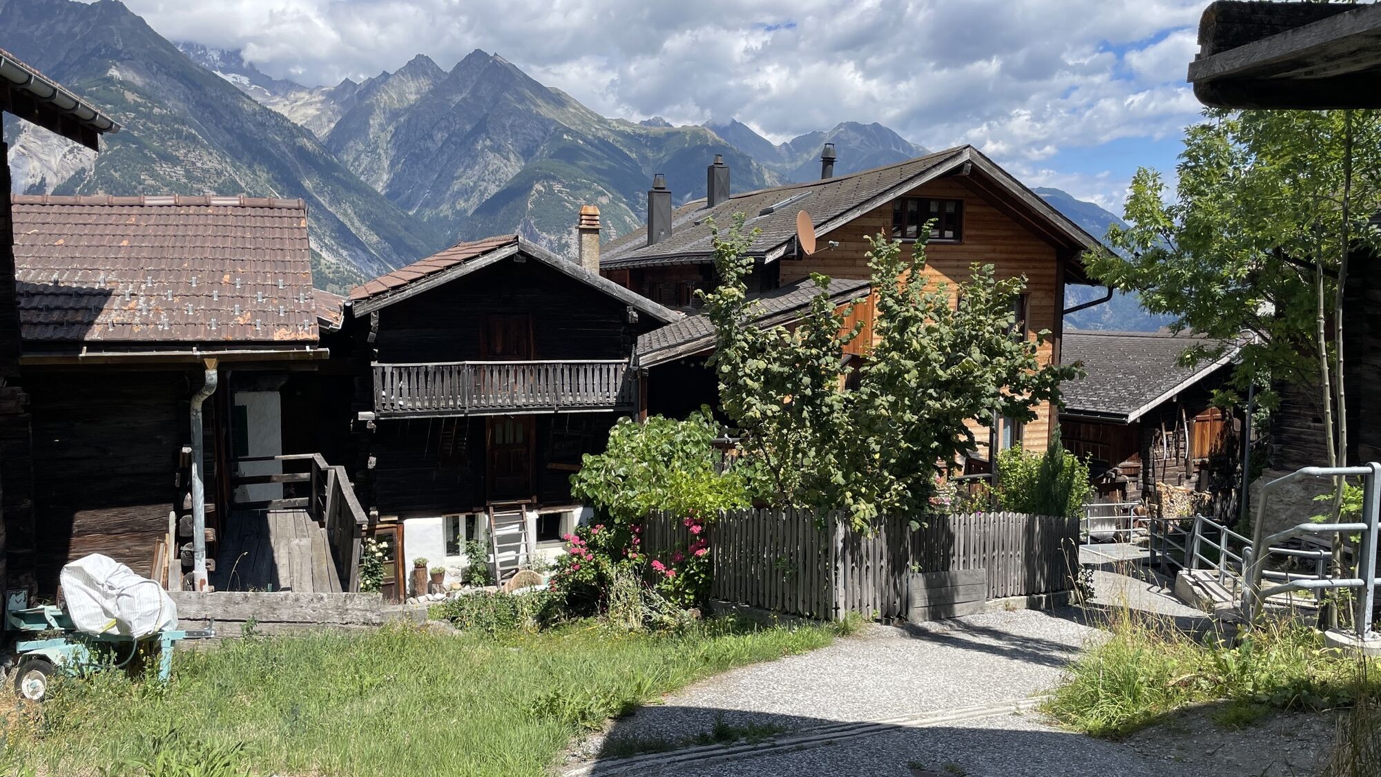
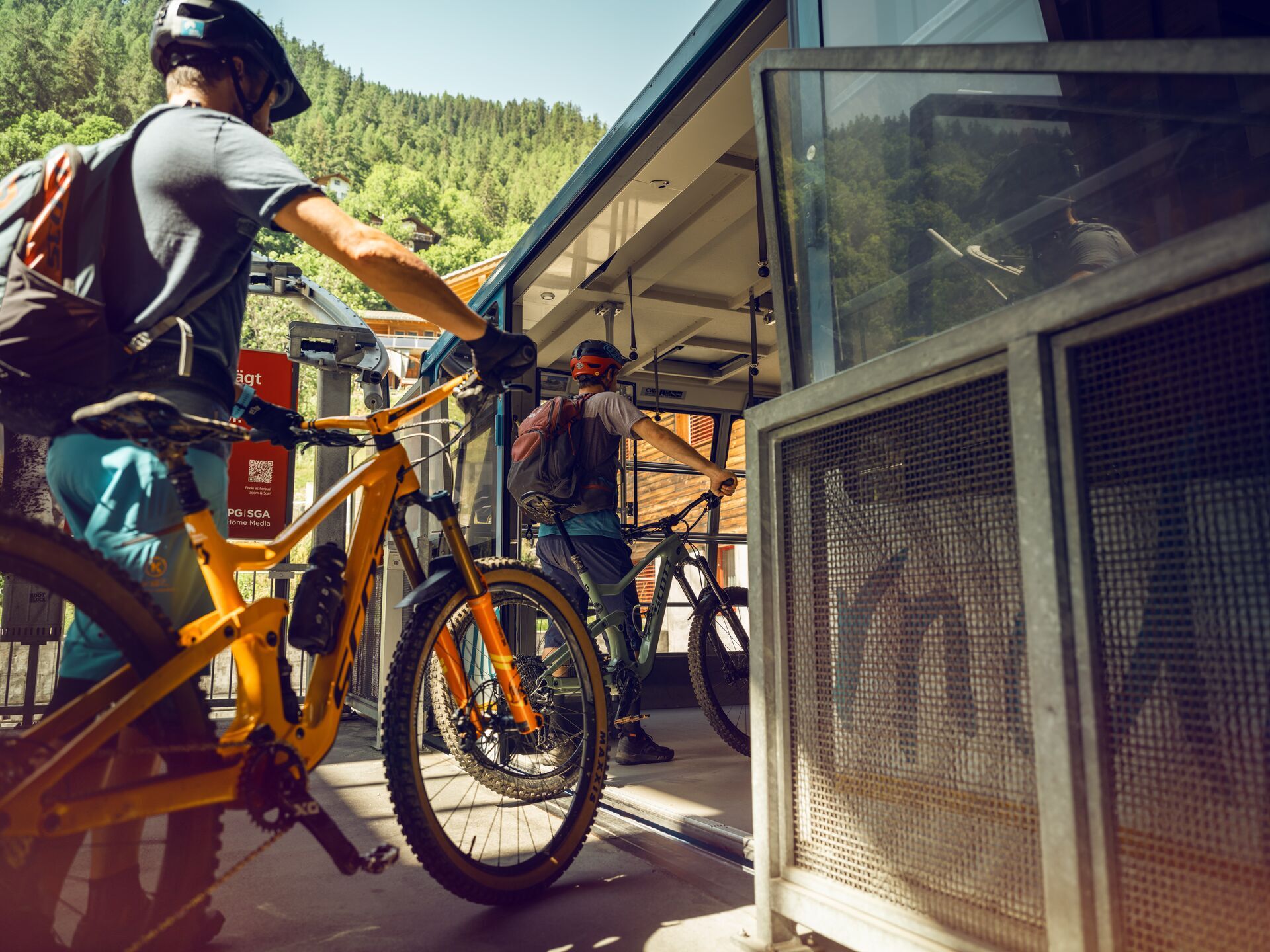
This new section leads from Raron (Rarogne) to Striggen, via Eischoll, a typical Valais village offering breathtaking views of the Bietschhorn. The route continues towards the Tschorr mountain pasture,...

Opis
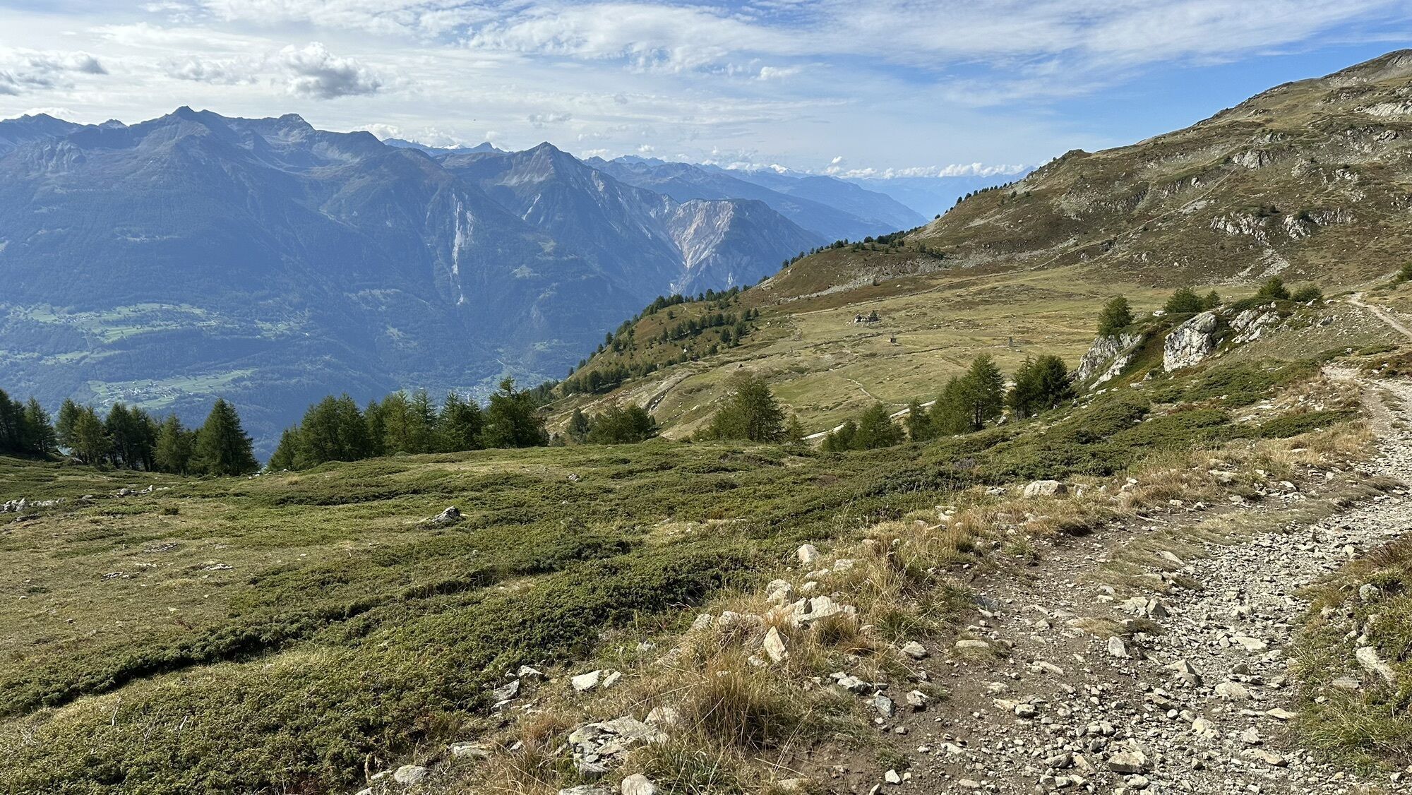
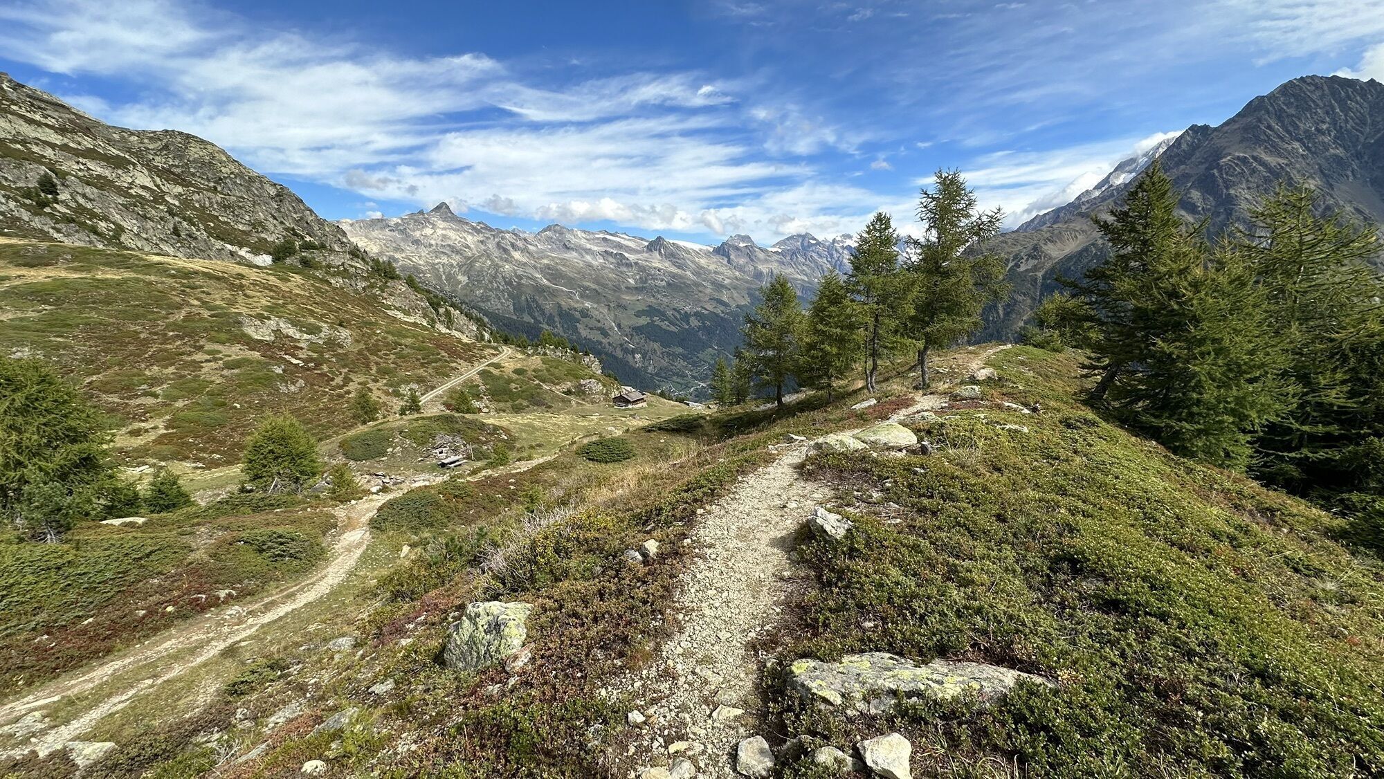
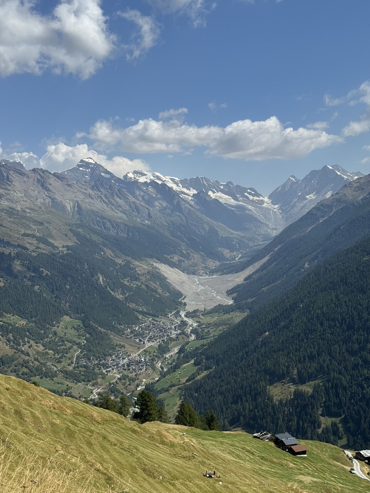
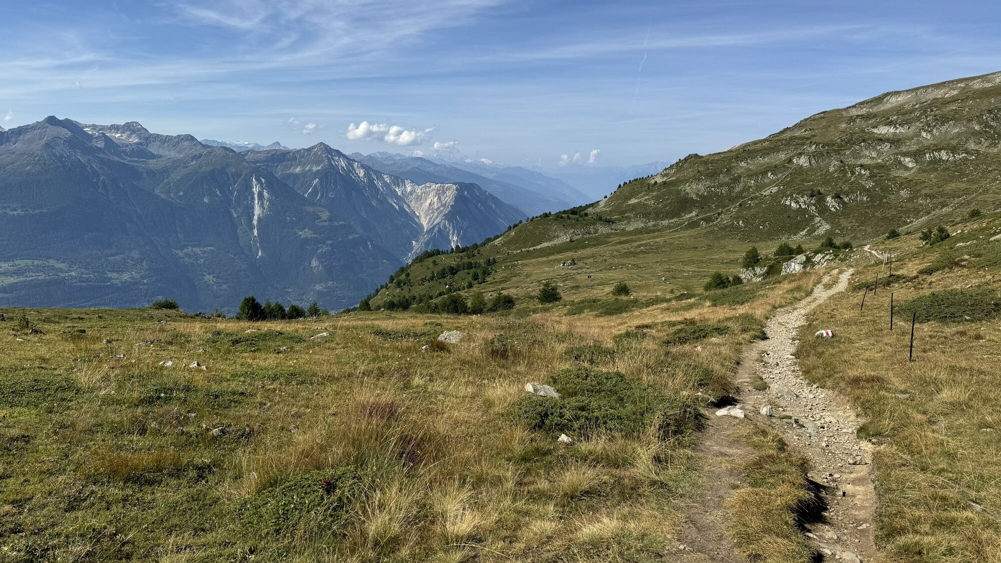
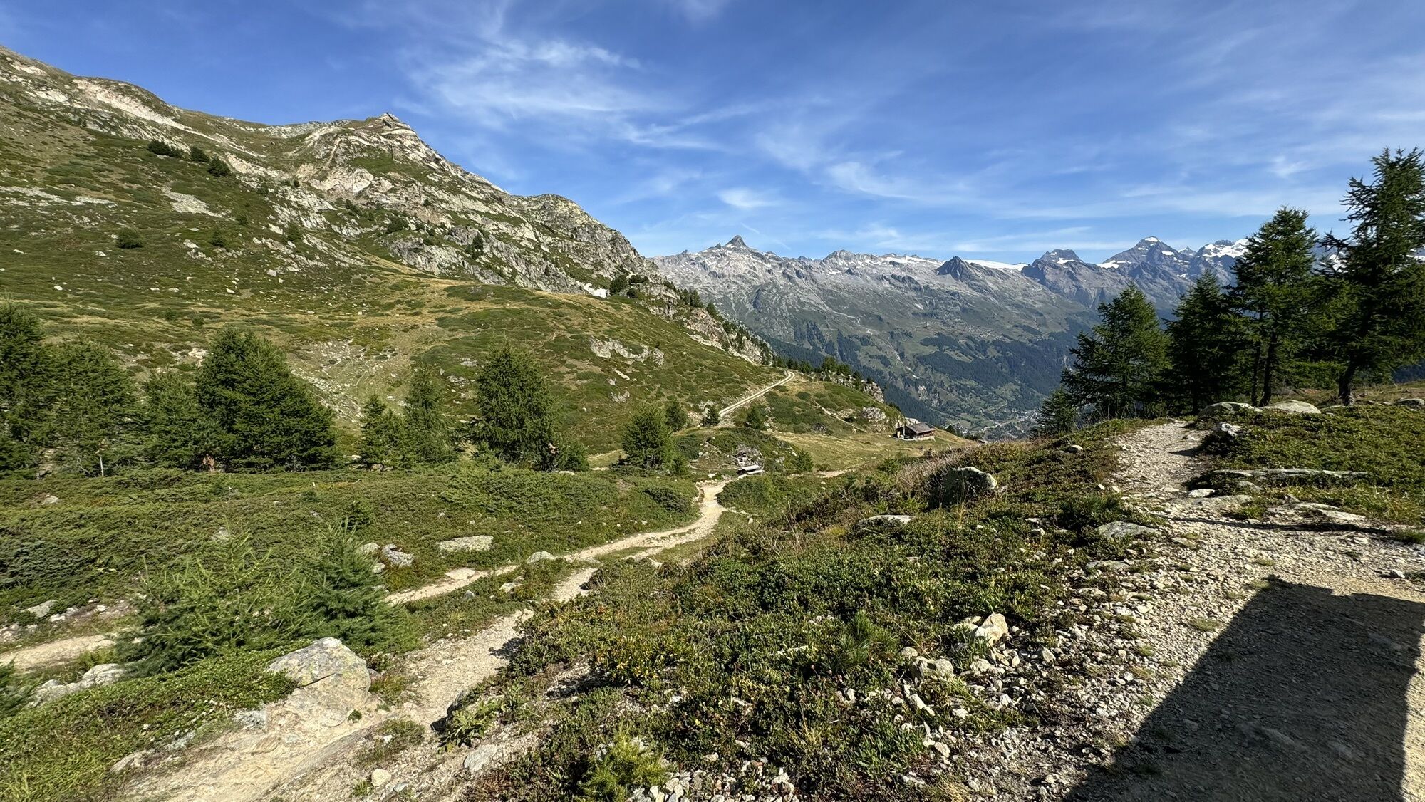
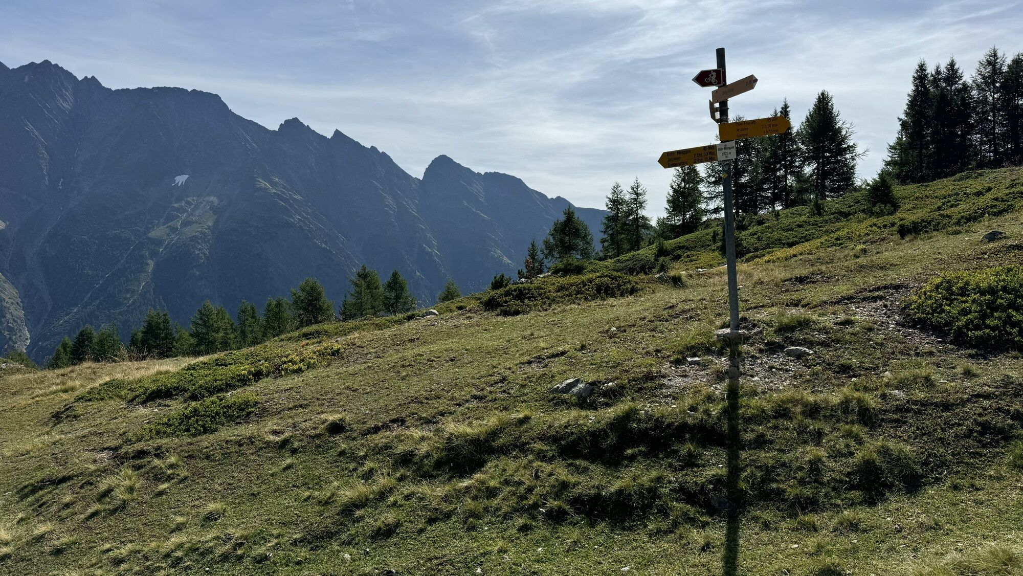
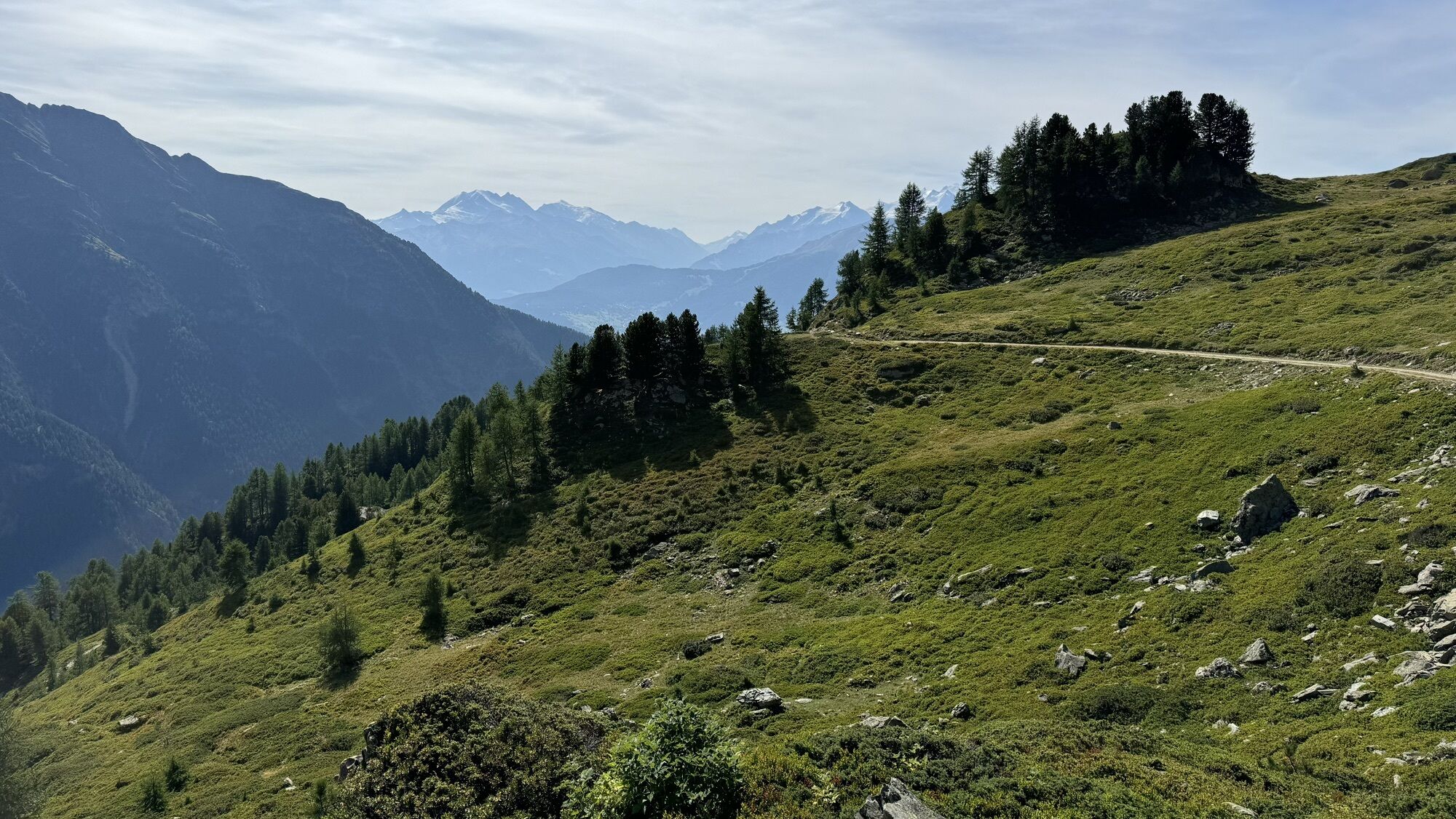
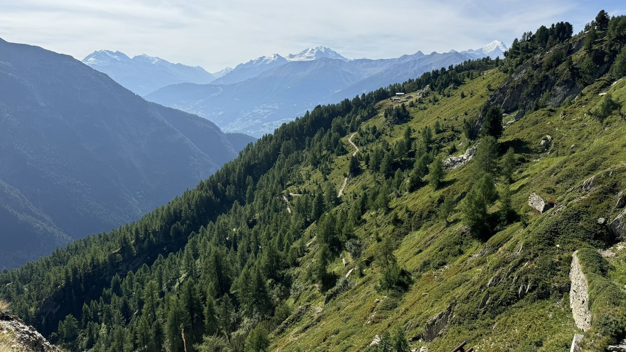
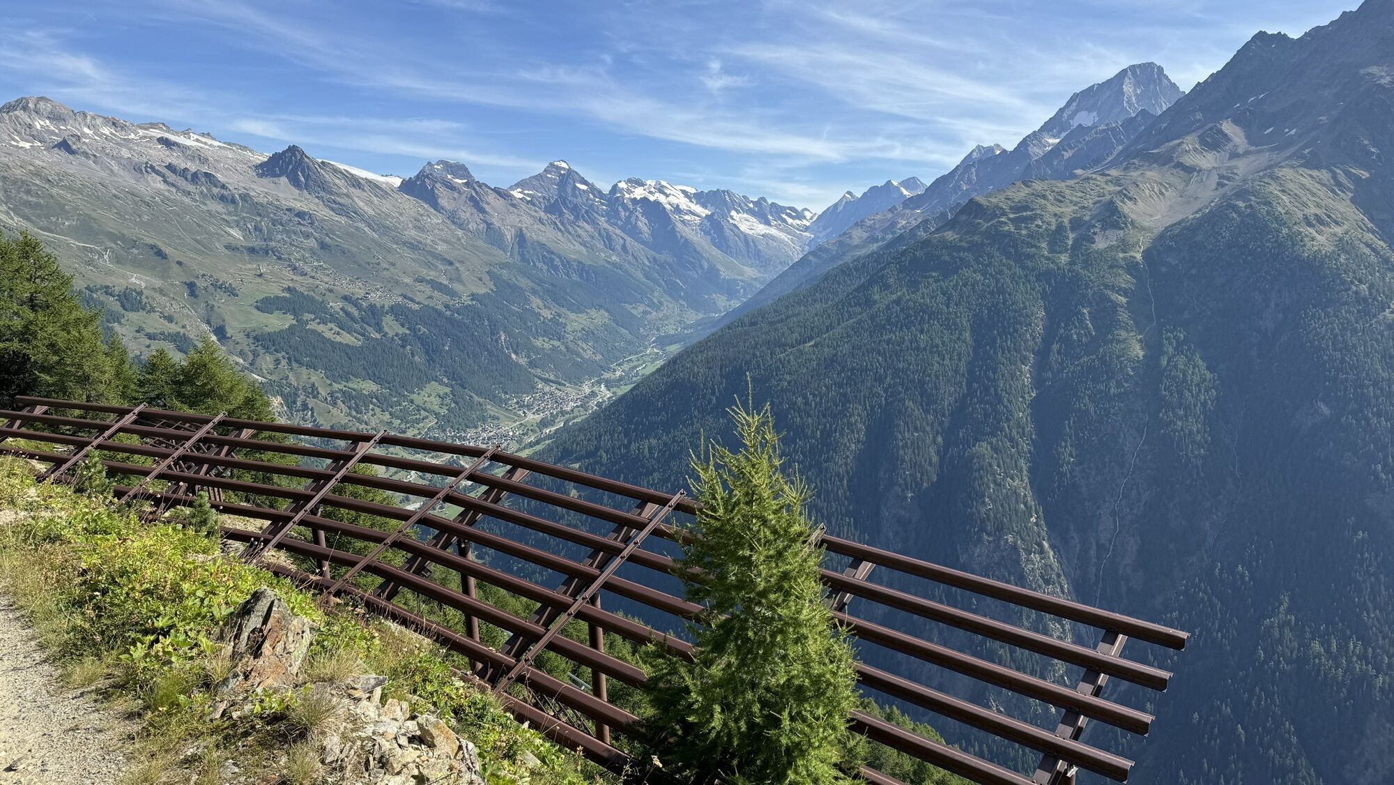
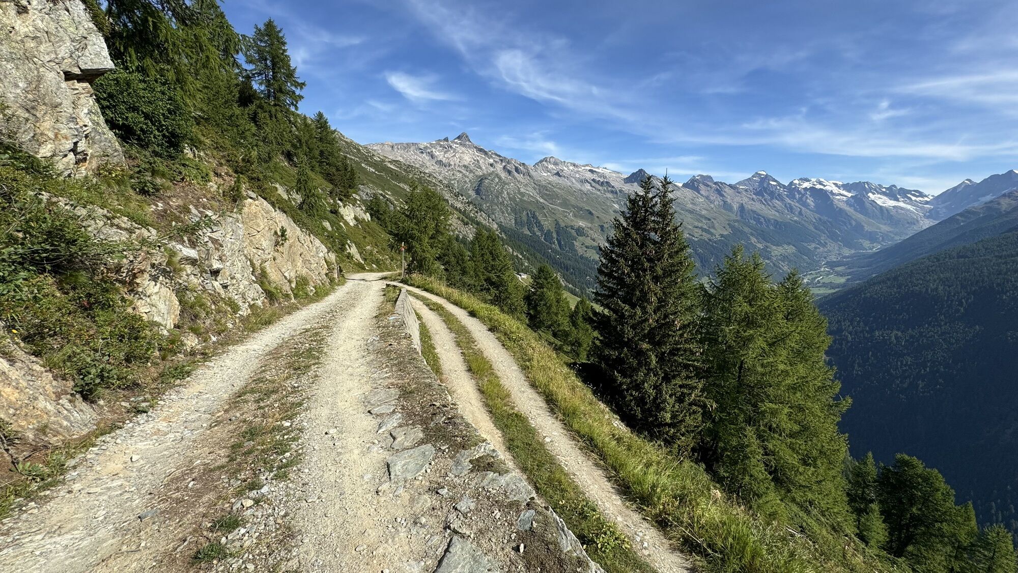
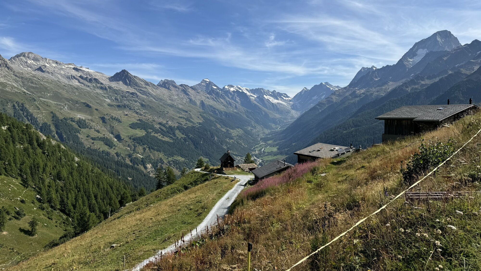
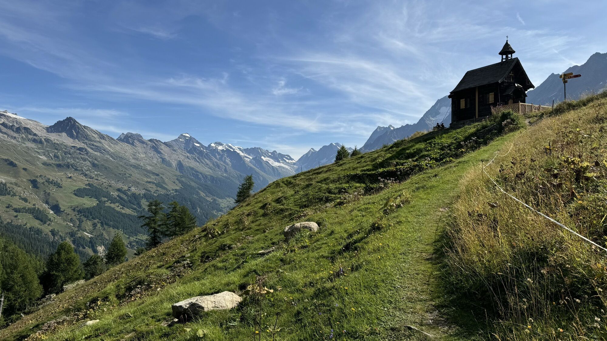
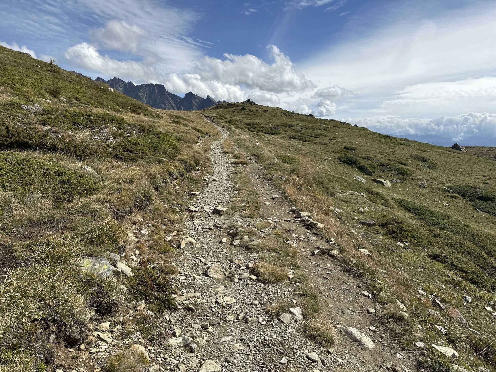
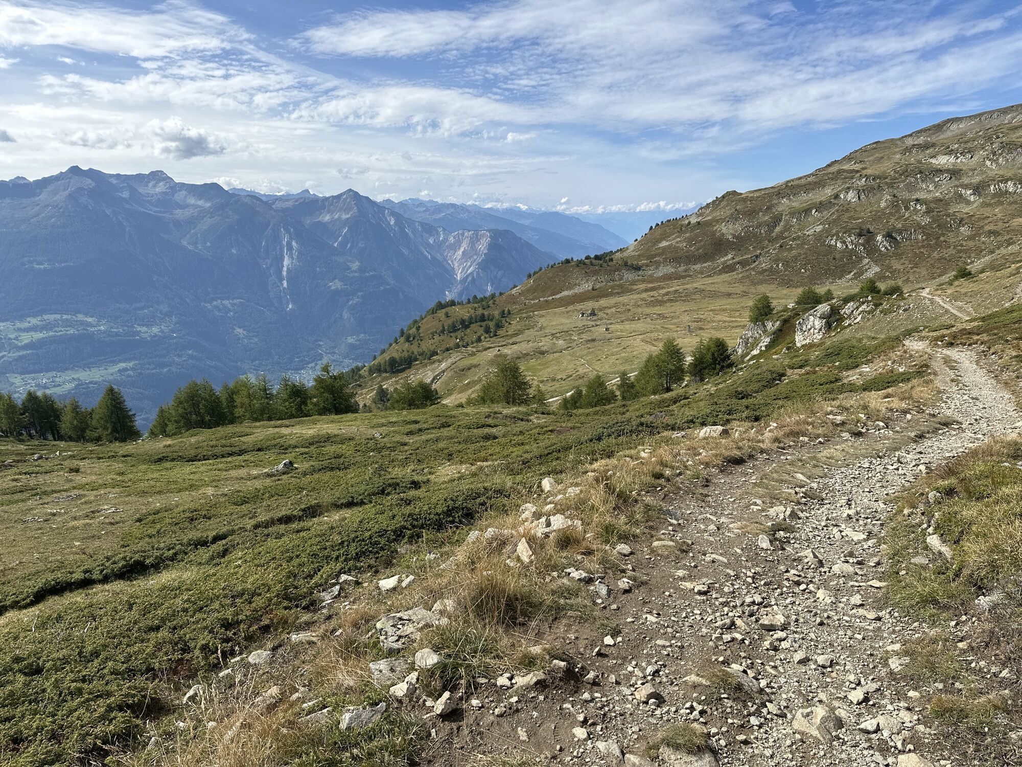
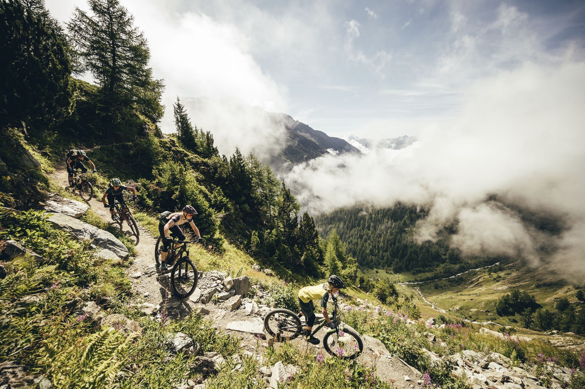
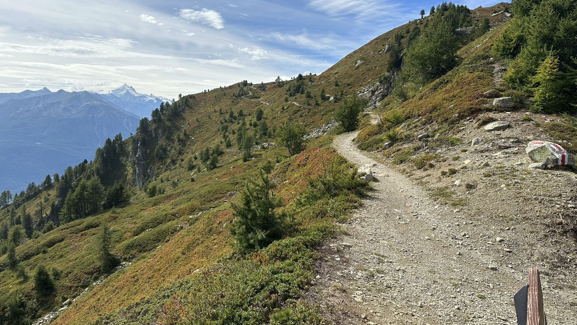
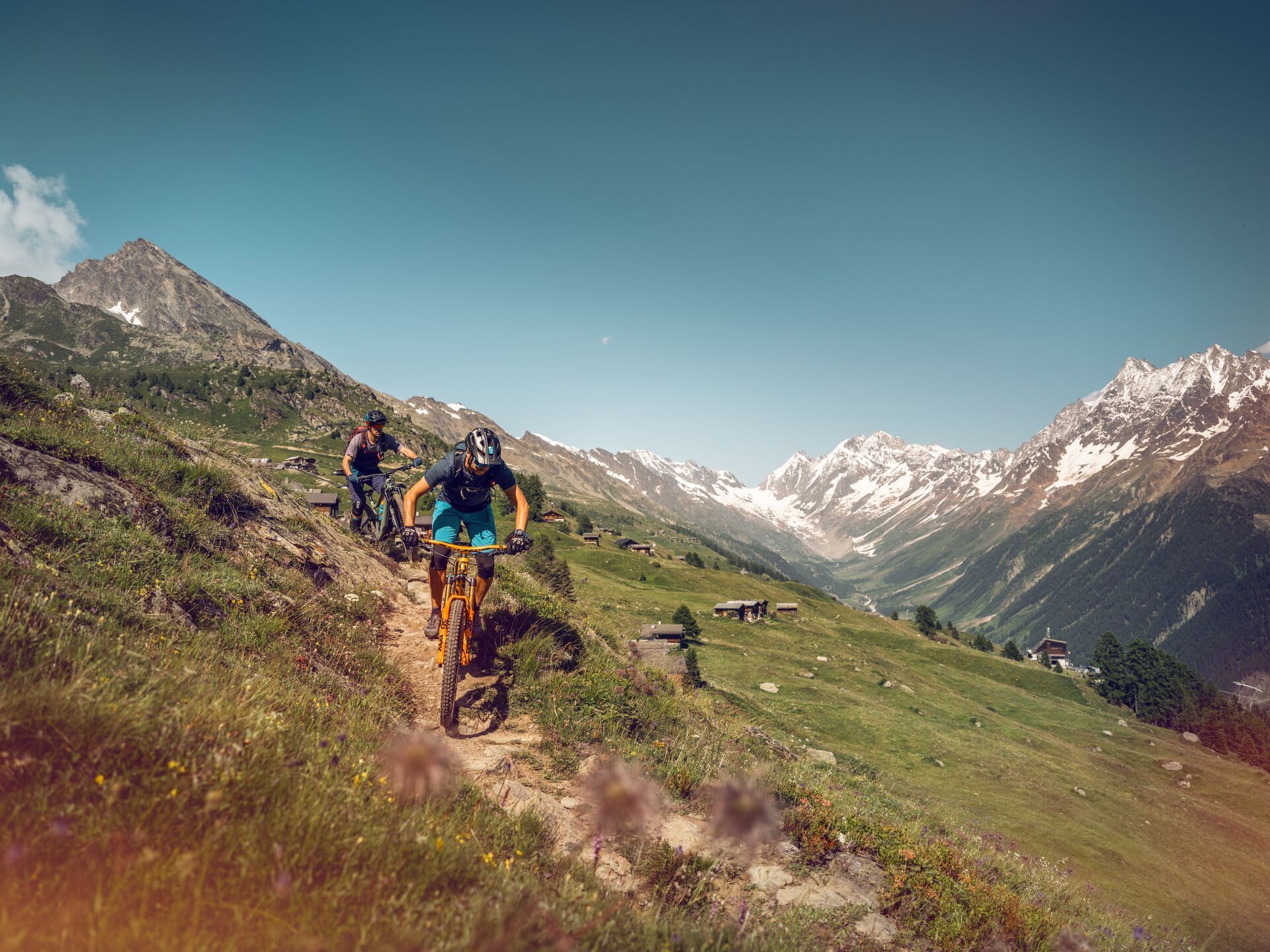
This new section leads from Raron (Rarogne) to Striggen, via Eischoll, a typical Valais village offering breathtaking views of the Bietschhorn. The route continues towards the Tschorr mountain pasture, where the Lunggi Trail begins, an exceptional single trail that winds its way smoothly and playfully through the Färichwald forest to Gampel-Steg*. You can save your muscles by taking the cable car to Jeizinen, before climbing up mountain paths and roads to Heruhubel, the highest point of this leg. After this panoramic climb, allow the alpine charm work its magic and enjoy a fun fast trail, which then becomes steeper and more technical, before a final long descent to Wiler, the largest village in the heart of the Lötschental.


*This leg can also be started in Gampel-Steg then continued to Wiler, the main town in the valley.

Trasa
Kapelle Turtig
(639 m)
Miejsce kultu
0,5 km
Hahnenviertel
(1 227 m)
Sąsiedztwo
5,0 km
Spitzesteinen Kapelle
(729 m)
Miejsce kultu
21,4 km
Kirche Geburt Mariens
(1 524 m)
Miejsce kultu
23,8 km
Untere Feselalpe
(1 944 m)
Rozliczenie
28,3 km
Heruhubel
(2 293 m)
Szczyt
30,8 km
St. Barbara Kapelle
(1 391 m)
Miejsce kultu
38,3 km
Trasa
Mapa
Valais Alpine Bike 5. Brig - Wiler (Lötschen)
ciężki
Mountainbike
40,01 km
Raron
(636 m)
Wioska
0,0 km
Restaurant Bergheim
(635 m)
Restauracja
0,1 km
Raron
(640 m)
Stacja gondoli
0,4 km
Kapelle Turtig
(639 m)
Miejsce kultu
0,5 km
Eischoll
(1 220 m)
Wioska
4,3 km
Restaurant Schwarzhorn
(1 220 m)
Restauracja
4,4 km
Hahnenviertel
(1 227 m)
Sąsiedztwo
5,0 km
Strygge
(1 562 m)
Stacja gondoli
8,4 km
Undri Senggalp
(1 714 m)
Rozliczenie
10,1 km
Gampel-Steg
(632 m)
Stacja kolejowa
19,2 km
Gampilgaar (Niedergesteln)
(632 m)
Rozliczenie
19,4 km
Steg VS
(632 m)
Wioska
20,2 km
Gampel
(636 m)
Wioska
20,4 km
Gampel (Talstation Jeizinen)
(634 m)
Stacja gondoli
20,7 km
Kapelle zu den Spitzen Steinen
(729 m)
Miejsce kultu
21,4 km
Spitzesteinen Kapelle
(729 m)
Miejsce kultu
21,4 km
Gstaljini
(1 500 m)
Korytarz/teren
23,4 km
Eggu
(1 501 m)
Korytarz/teren
23,5 km
Jeizinen (Bergstation)
(1 525 m)
Stacja gondoli
23,6 km
Biälti
(1 528 m)
Korytarz/teren
23,6 km
Kirche Geburt Mariens
(1 524 m)
Miejsce kultu
23,8 km
Brumatten
(1 529 m)
Korytarz/teren
24,0 km
Jeizinen
(1 525 m)
Rozliczenie
24,0 km
Rossmatten
(1 564 m)
Korytarz/teren
24,1 km
Achermatten
(1 549 m)
Korytarz/teren
24,1 km
Turu
(1 708 m)
Korytarz/teren
25,8 km
Allmeibodu
(1 726 m)
Korytarz/teren
26,0 km
Brällä
(1 802 m)
Korytarz/teren
27,1 km
Untere Feselalpe
(1 944 m)
Rozliczenie
28,3 km
Restaruant Trächu Hittu
(1 945 m)
Restauracja
28,4 km
Stafel (Oberi Fäsilalpu)
(2 205 m)
Rozliczenie
30,0 km
Heruhubel
(2 293 m)
Szczyt
30,8 km
Oberi Meiggu
(2 218 m)
Rozliczenie
32,3 km
Obere Meiggenalpe
(2 213 m)
Korytarz/teren
32,5 km
Faldumalp
(2 035 m)
Rozliczenie
34,7 km
Ferden
(1 375 m)
Wioska
38,2 km
St. Barbara Kapelle
(1 391 m)
Miejsce kultu
38,3 km
Chumma
(1 385 m)
Korytarz/teren
39,1 km
Kippel
(1 376 m)
Wioska
39,4 km
Sporting
(1 396 m)
Restauracja
40,0 km
Informacje o wycieczce

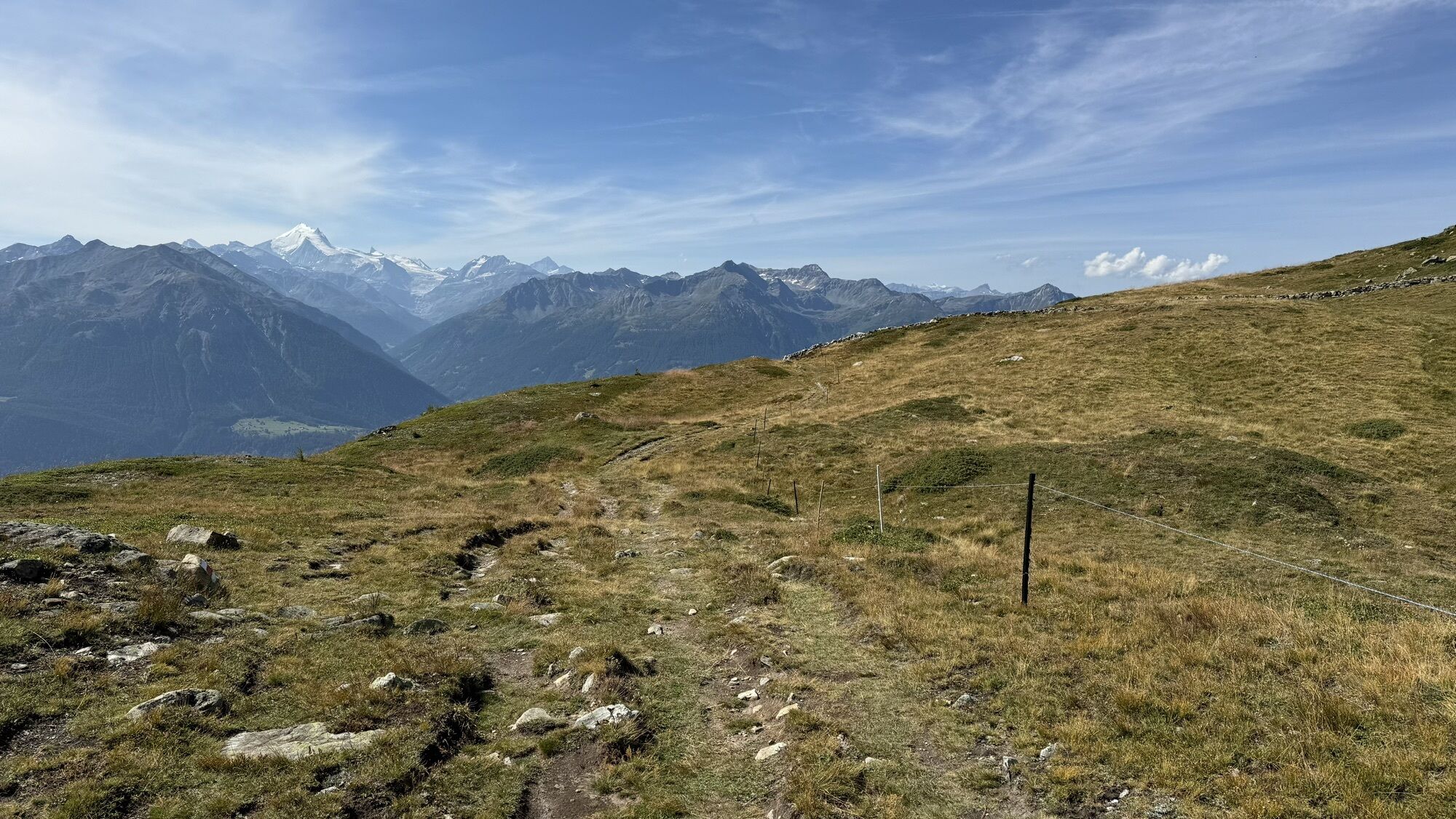
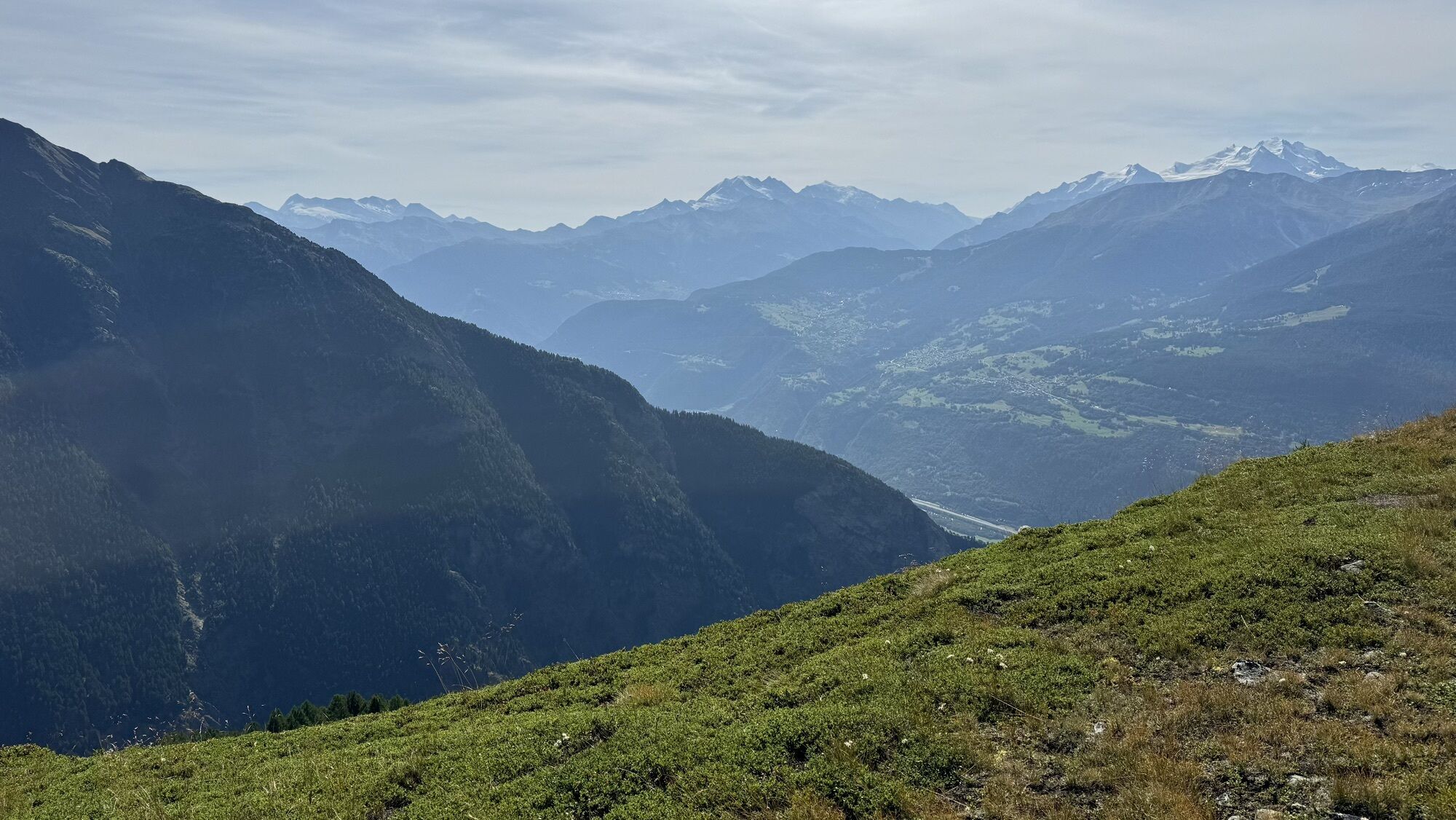
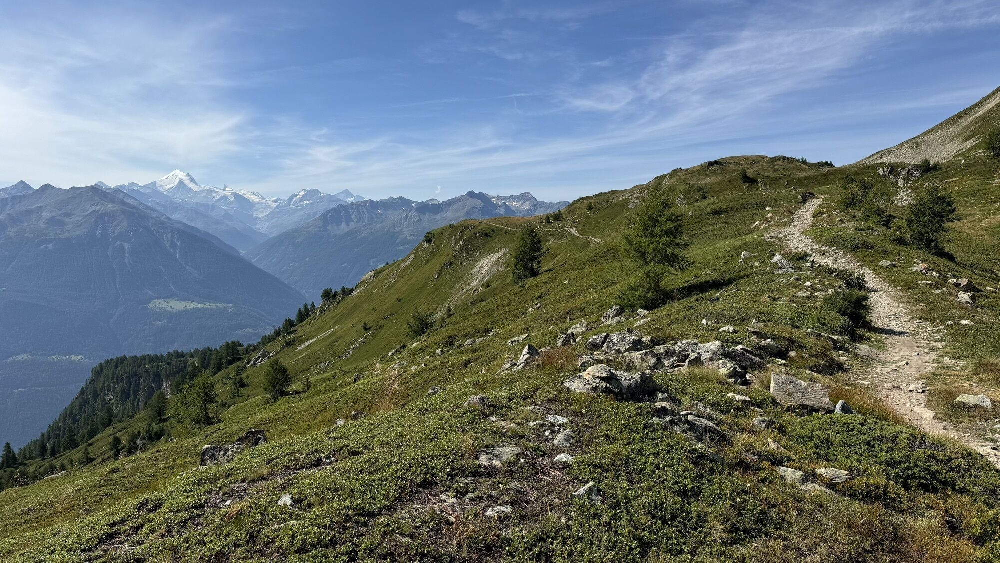
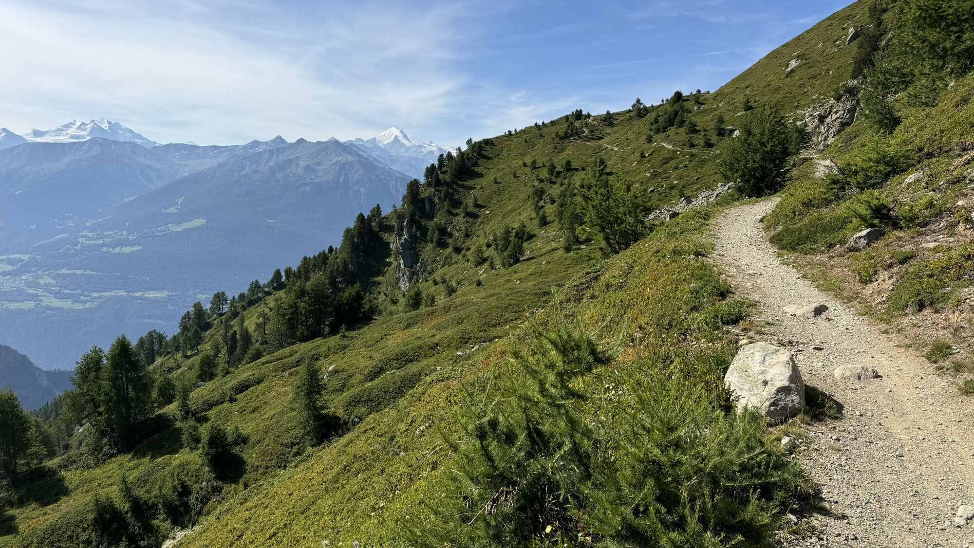
This section begins in the beautiful forests above Eischoll, before passing through alpine terrain and the magnificent Lötschental valley, opposite the imposing Bietschhorn.

Charakter trasy
Próba
Technologia
3 / 6
Stan
5 / 6
Krajobraz
6 / 6
Doświadczenie
6 / 6
Najlepsza pora roku
Sty
Lut
Mar
Kwi
Maj
Cze
Lip
Sie
Wrz
Paź
Lis
Gru
Udostępnij trasę
Mapa
Valais Alpine Bike 5. Brig - Wiler (Lötschen)
ciężki
Mountainbike
40,01 km
Błąd
Wystąpił błąd. Spróbuj ponownie.
Informacje o trasie
Trasa

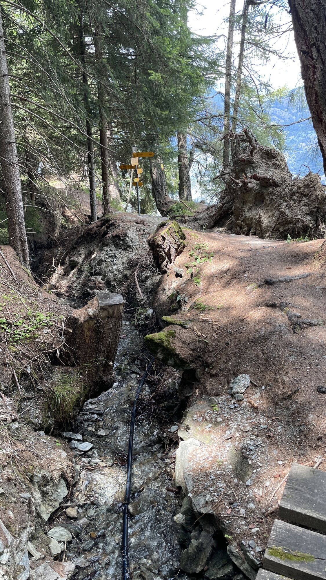
From Raron (Rarogne) railway station, take the cable car up to the charming village of Eischoll. From here, you can choose to reach Striggen by road or by chairlift, which operates during the summer season from late June to mid-August. An ascent leads to the ‘Tschorr’ mountain pasture, dominated by a view of the Bietschhorn. This is where the Lunggi Trail begins, an exceptional single trail that descends through the Färichwald forest, crossing roads and hamlets, before reaching Lunggi and Gampel-Steg station* after a 1,100-metre descent. Cross the Rhône Valley to Gampel, where the cable car to Jeizinen departs. The ascent to Feselalp (where there is a pleasant refreshment bar) begins here, before continuing towards Heruhubel, the highest point of the leg at 2,311 metres above sea level. The single trail that follows is fast and smooth at first until Oberi Meiggu, then steeper and more technical before entering the forest. The long descent on the trail leads to Ferden, the first village in the Lötschental, then to Wiler via Kippel, featuring alpine landscapes and historical heritage.

Najważniejsze informacje geologiczne

Tak

Wycieczka na szczyt

Tak

Gondola / kolejka linowa

Tak

Sprzęt
Our recommendations: technically flawless mountain bike, toolkit, helmet, gloves and bell, appropriate clothing according to the weather, rain protection, drink and snacks.

Prepare your mountain biking outing

Instrukcje bezpieczeństwa
Follow the Valais Alpine Bike route no. 41 of Switzerland by mountain bike. See the route on SuisseMobile: Valais Alpine Bike no. 41. Follow only marked trails and roads as well as appropriate signs.

The mountain is a space of enjoyment to be shared and respected. The mountain offers a space to meet and share unforgettable moments, by bike or on foot. For all outdoor enthusiasts to enjoy it, it is essential to share this space with respect for nature and agriculture. Respectful behavior allows everyone to engage in their leisure activity under the best conditions. Learn about the recommendations and rules in place.

Assess your physical condition and abilities well. Use of the various routes is always at your own risk.

Rules of good conduct

Informacje o przyjeździe
Przybycie
From Basel and Zurich: motorway A1 to Bern; A6 to Spiez; direction Kandersteg; car transport Kandersteg-Goppenstein; direction Gampel ; Raron.

From Geneva: motorway A1 to Lausanne; direction Sion/Sierre; Gampel; Goppenstein; Gampel ; Raron.

From Milan: motorway A8/A26 direction Simplon; car transport Iselle-Brig; direction Visp; Gampel; Raron.

Transport publiczny
Reach Raron by train (SBB). Remember to reserve a spot for your mountain bike at cff.ch.
Parking

Follow the parking signs in Raron.

Dodatkowe informacje i wskazówki
Poziom trudności

S2

Dodatkowe informacje
Book one of the Valais Alpine Bike stay offers! Choose the variant of three, four, or seven nights and enjoy wonderful days of riding. You will stay in bike hotels and benefit from daily luggage transport service, so all you have to do is enjoy! To the offers www.valais.ch/shop-valais-alpine-bike.

Learn more about the destination:

Raron-Niedergesteln Eischoll Gampel-Bratsch-Jeizinen Lötschental

Valais Alpine Bike regional route: See the complete route

See the route on SuisseMobile: Valais Alpine Bike no. 41

Wskazówki

Enjoy a well-deserved break and sample a local speciality, cholera, at the Trächu Hittu restaurant above Jeizinen.

Nie ma jeszcze recenzji
Napisz recenzję

Recenzje pomagają innym użytkownikom wybrać kolejną przygodę. Oceniaj tylko trasę, a nie pogodę lub przekąskę.

Wybierz jedną z gwiazdek, aby ocenić wycieczkę
Zła trasa
Słaba trasa
Przeciętna wycieczka
Dobra wycieczka
Doskonała wycieczka
bergfex logo Uzyskaj wgląd Zawsze na żywo z ponad 9 500 kamer internetowych. bergfex Jako użytkownik Pro, możesz teraz zobaczyć odpowiednie kamery internetowe dla wielu wycieczek w aplikacji wycieczki od. Pozwala to na bezpośredni podgląd aktualnych warunków.
Wędrówki i tropienie

Wędrówki i tropienie

Wędrówki i tropienie
Ponad 550.000 propozycji wycieczek, szczegółowe mapy i intuicyjny planer tras sprawiają, że aplikacja jest niezbędna dla wszystkich entuzjastów przyrody.
bergfex