






Viel dal Pan
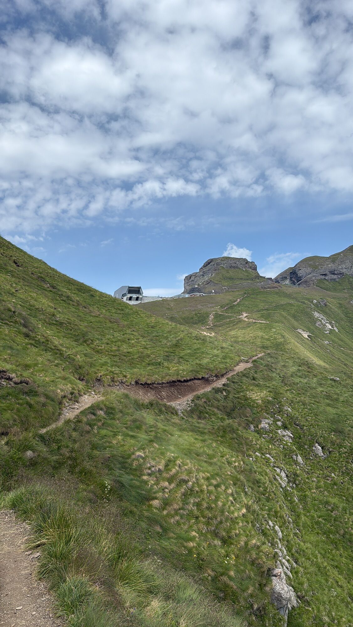
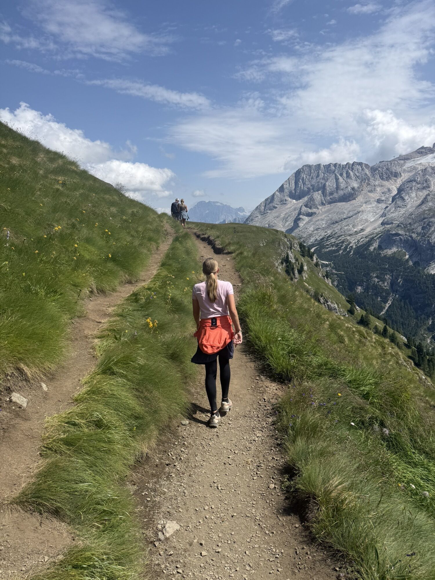
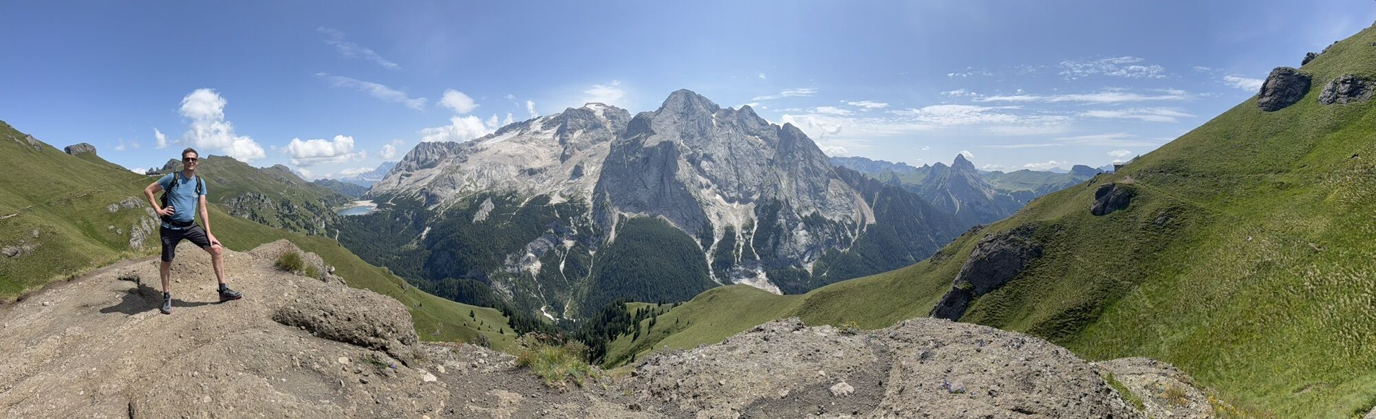
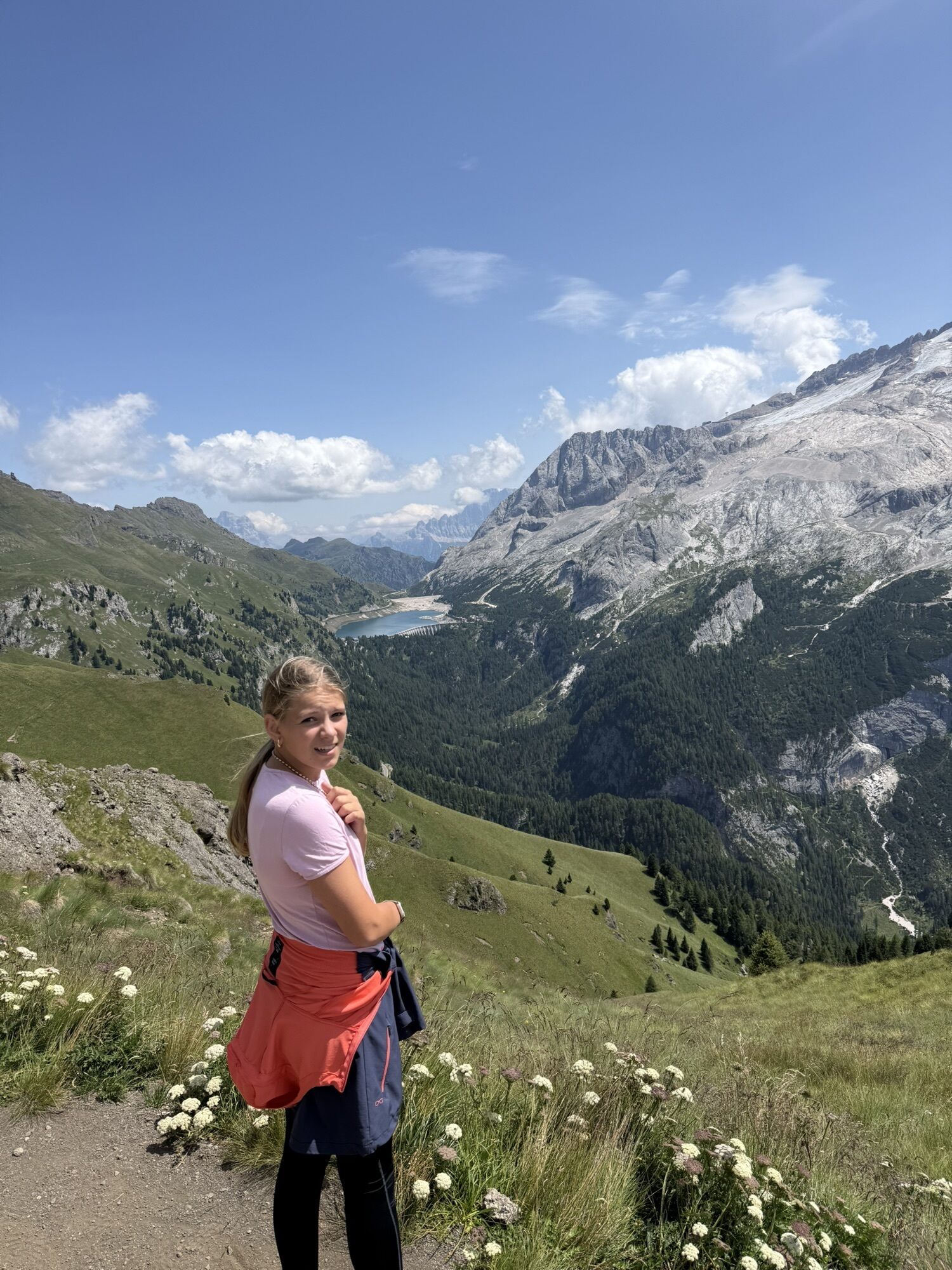
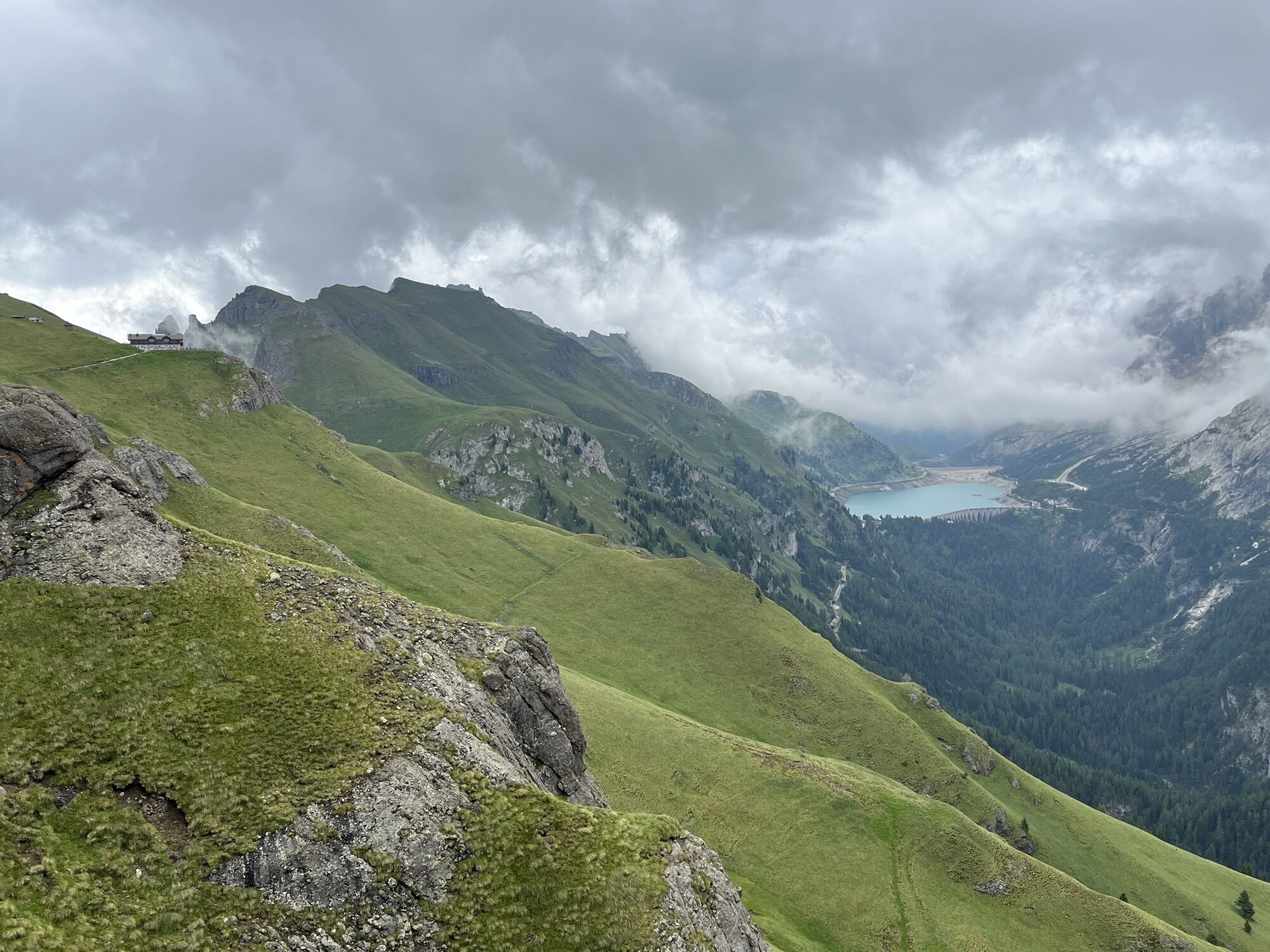
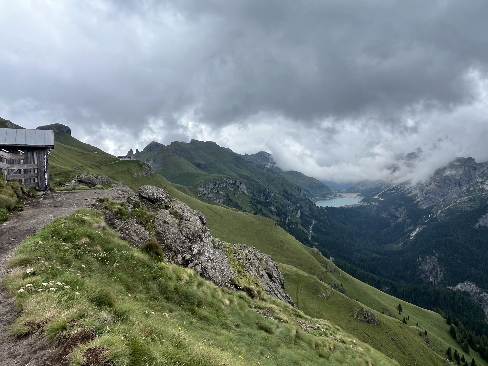
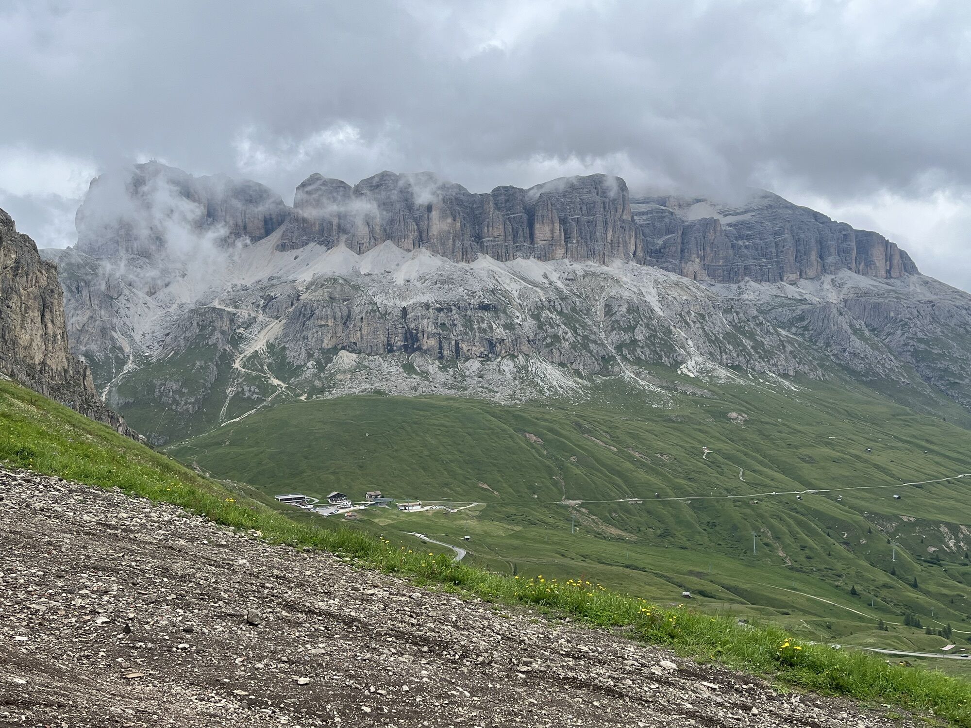
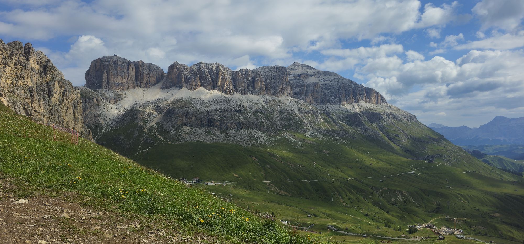
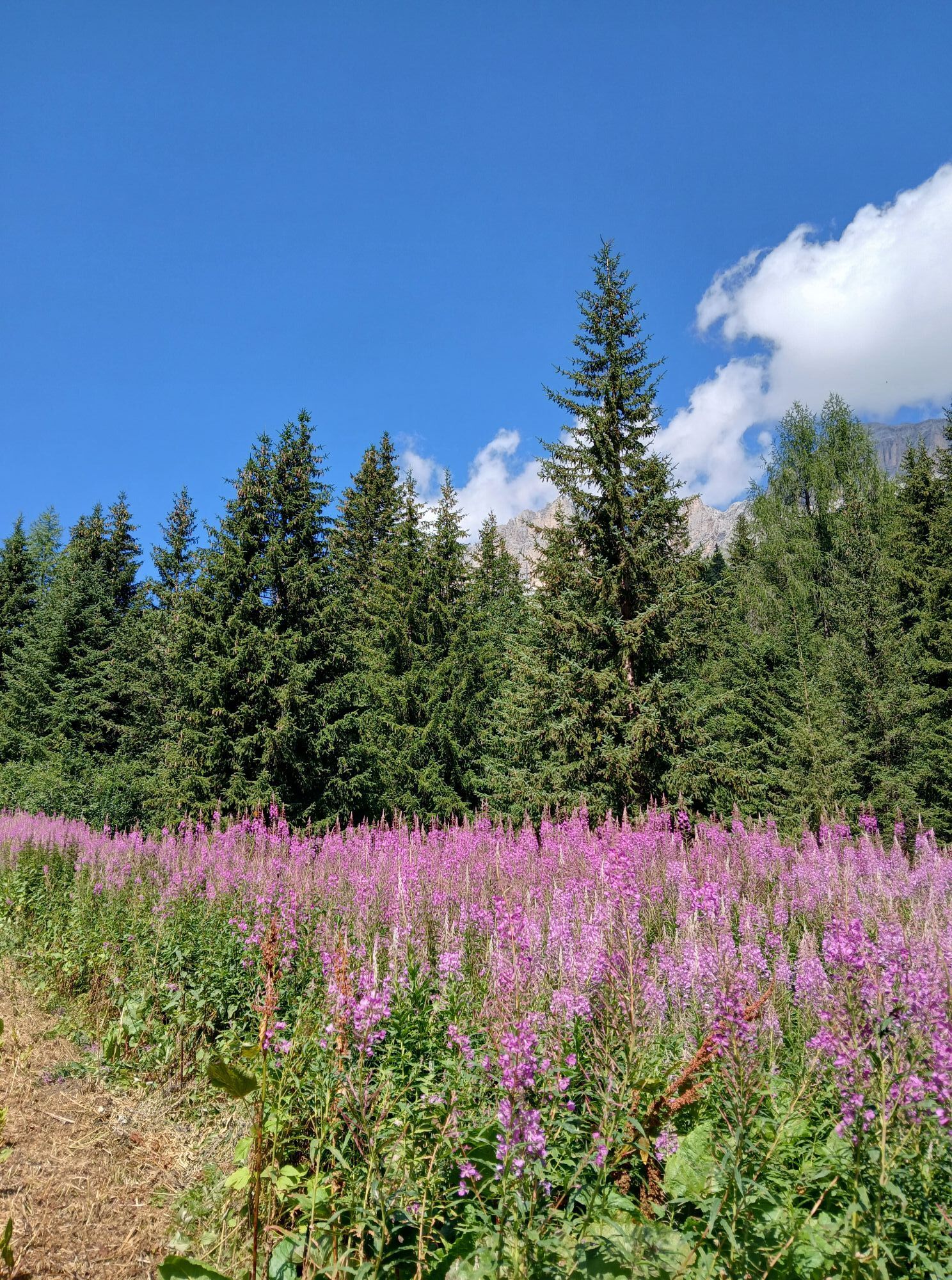
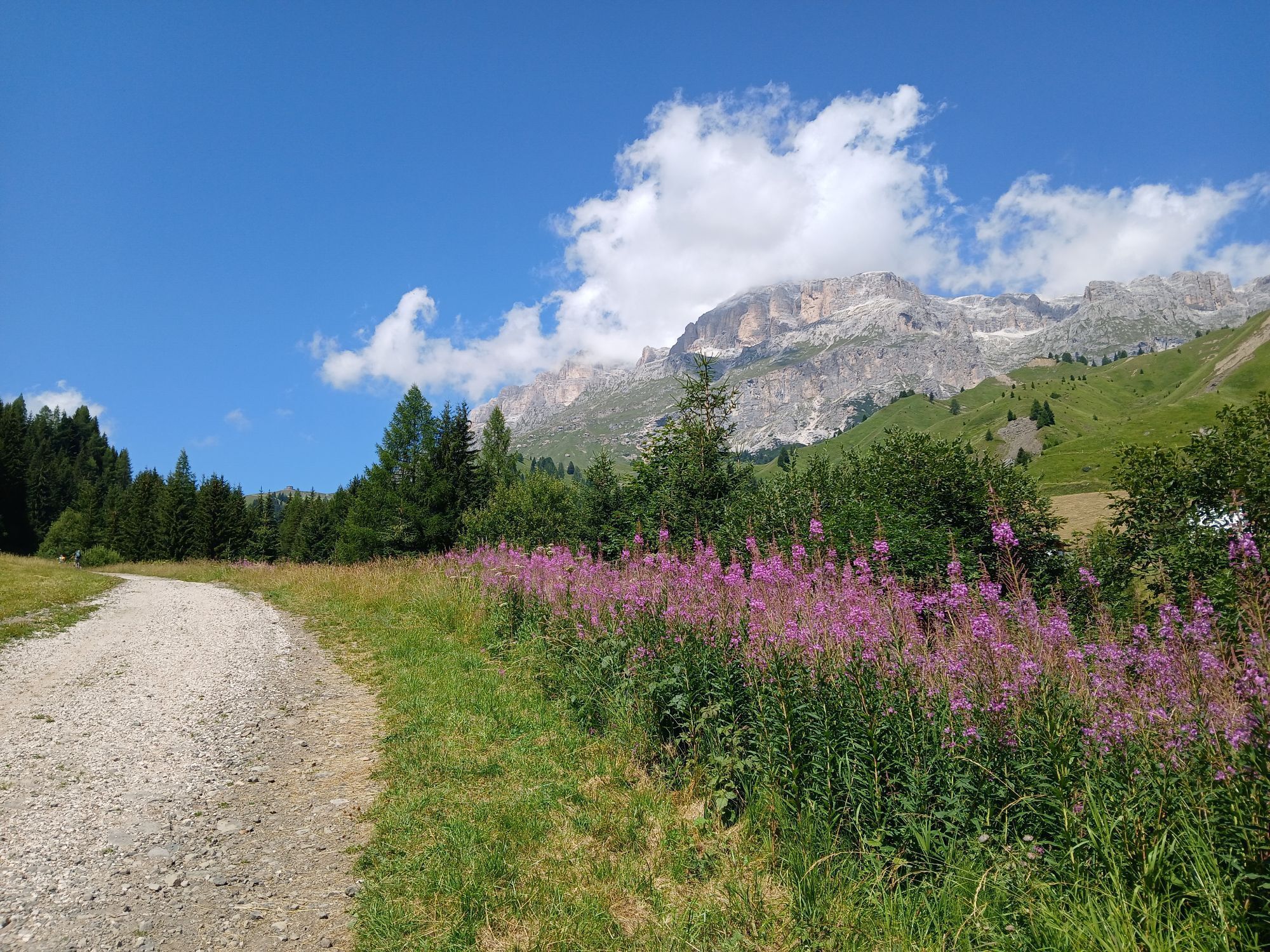
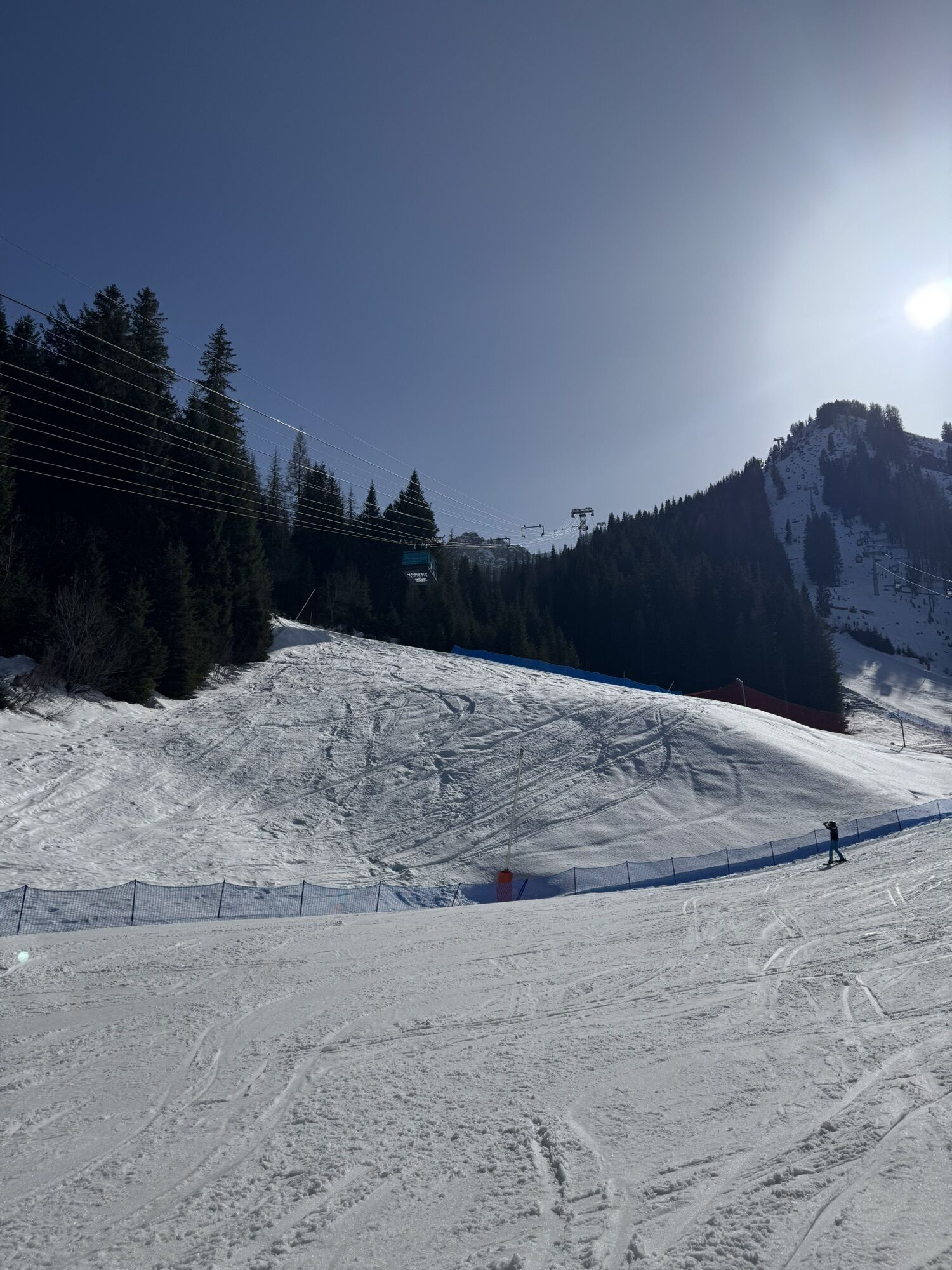
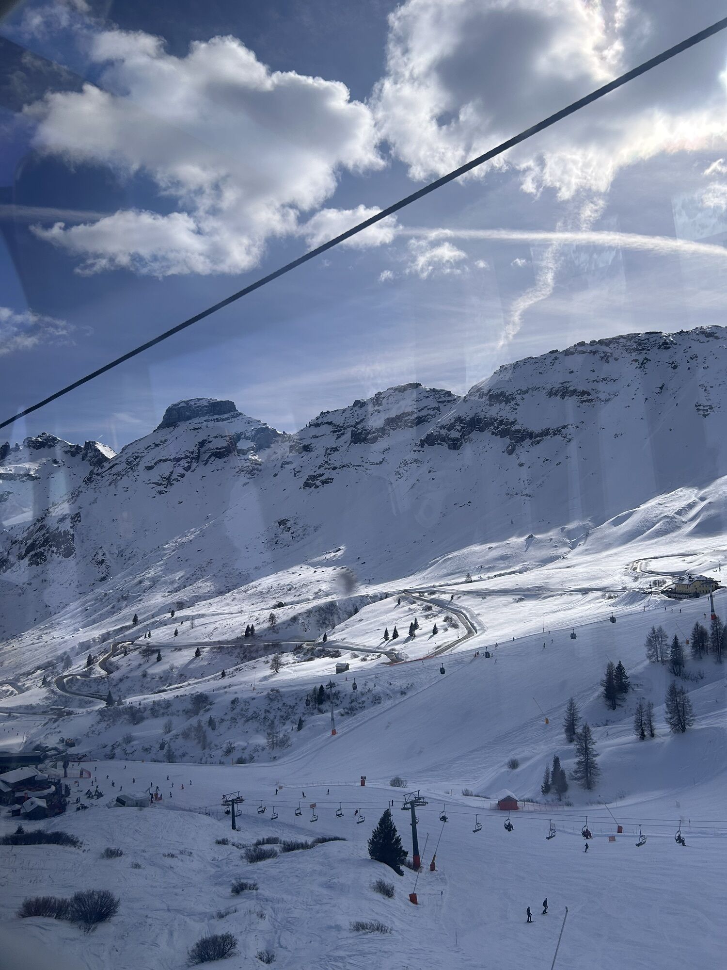
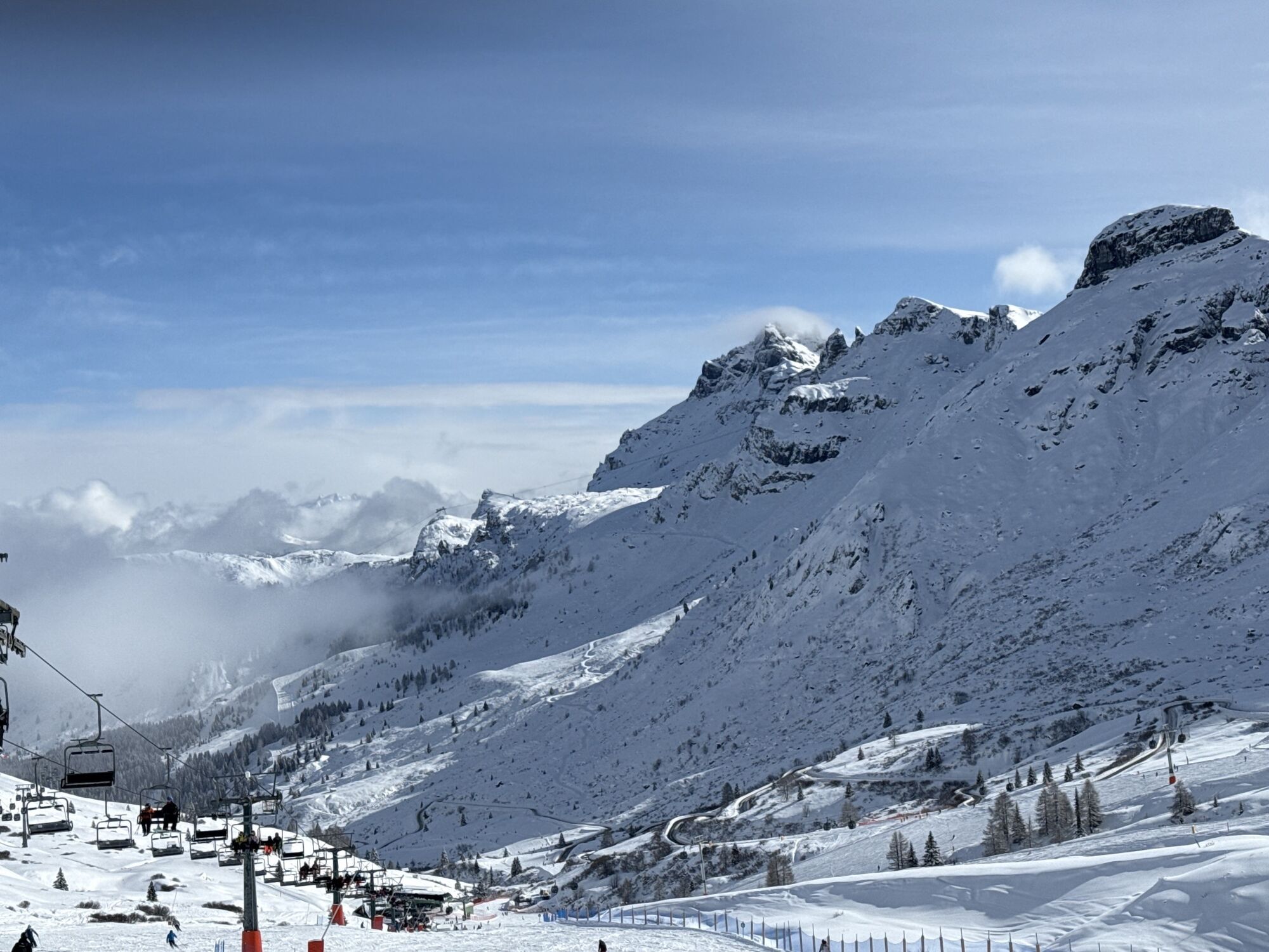
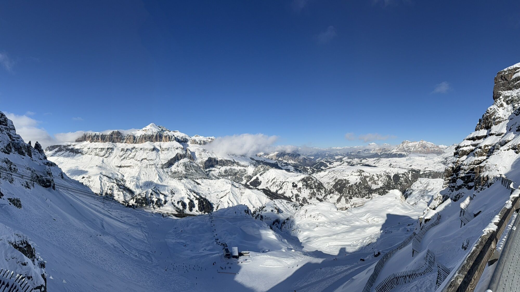
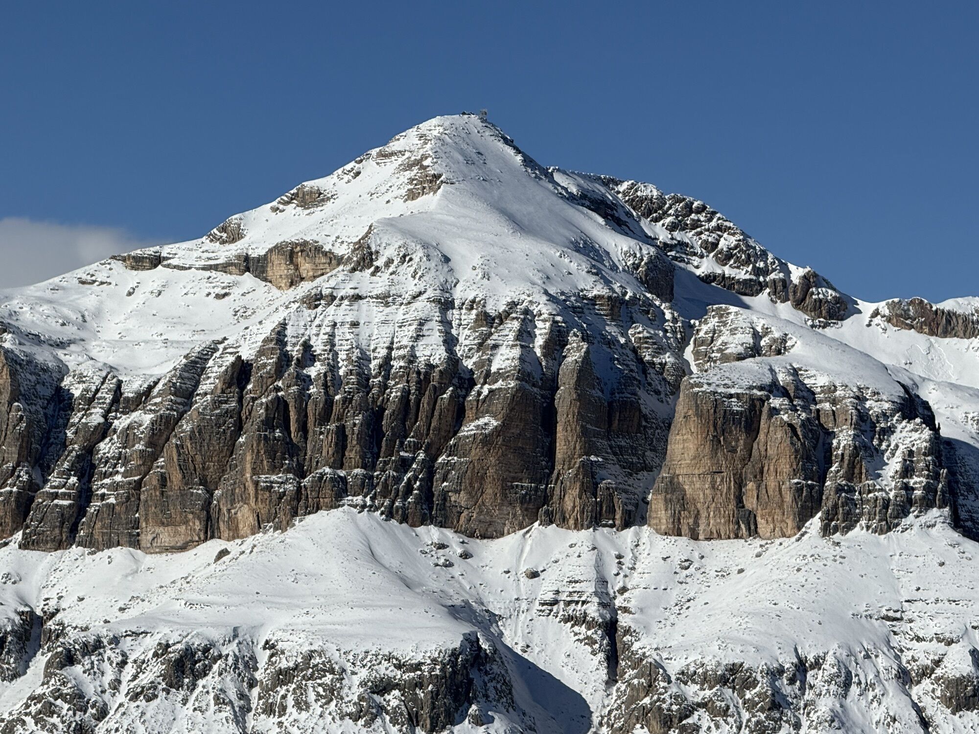
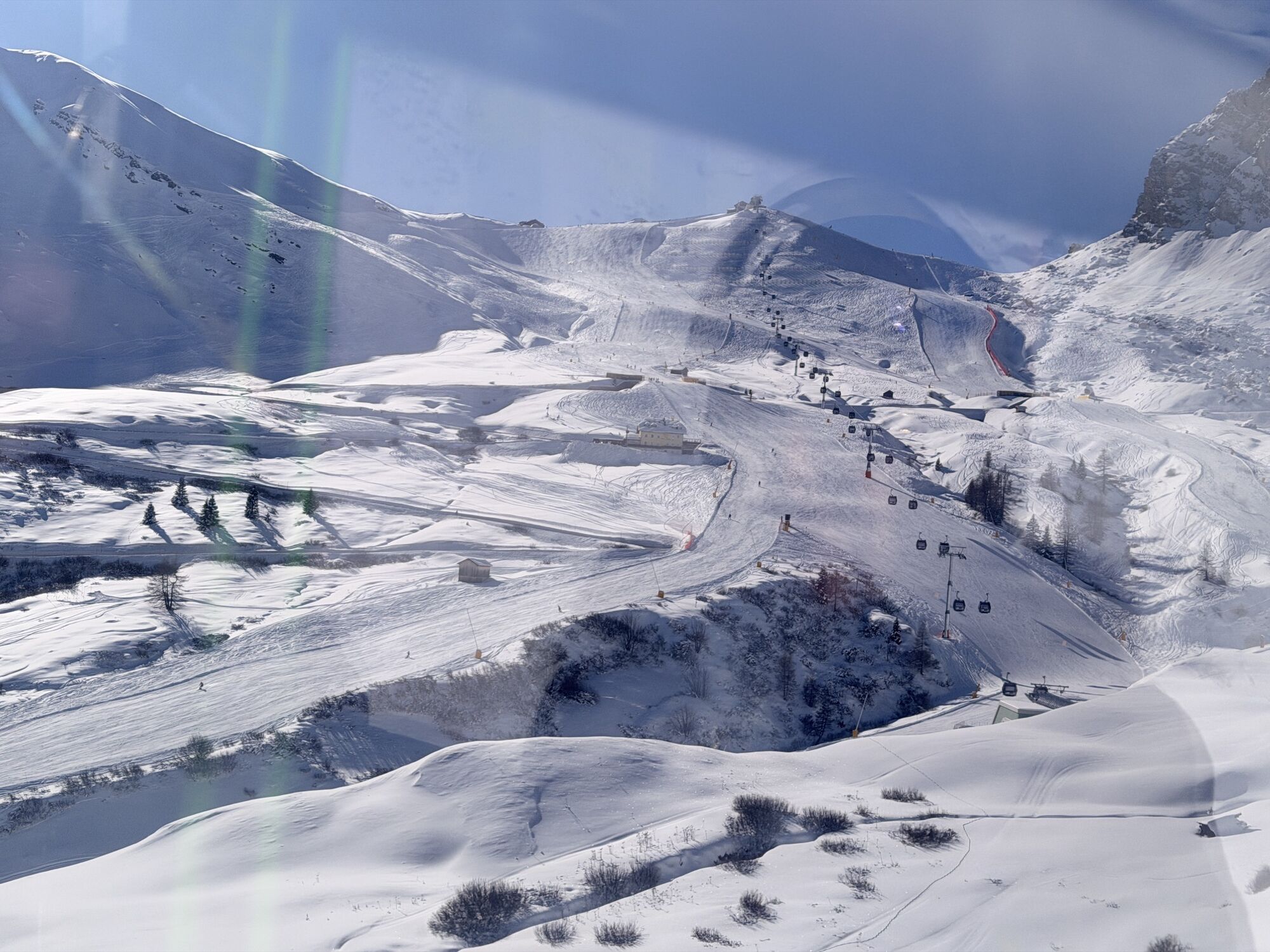
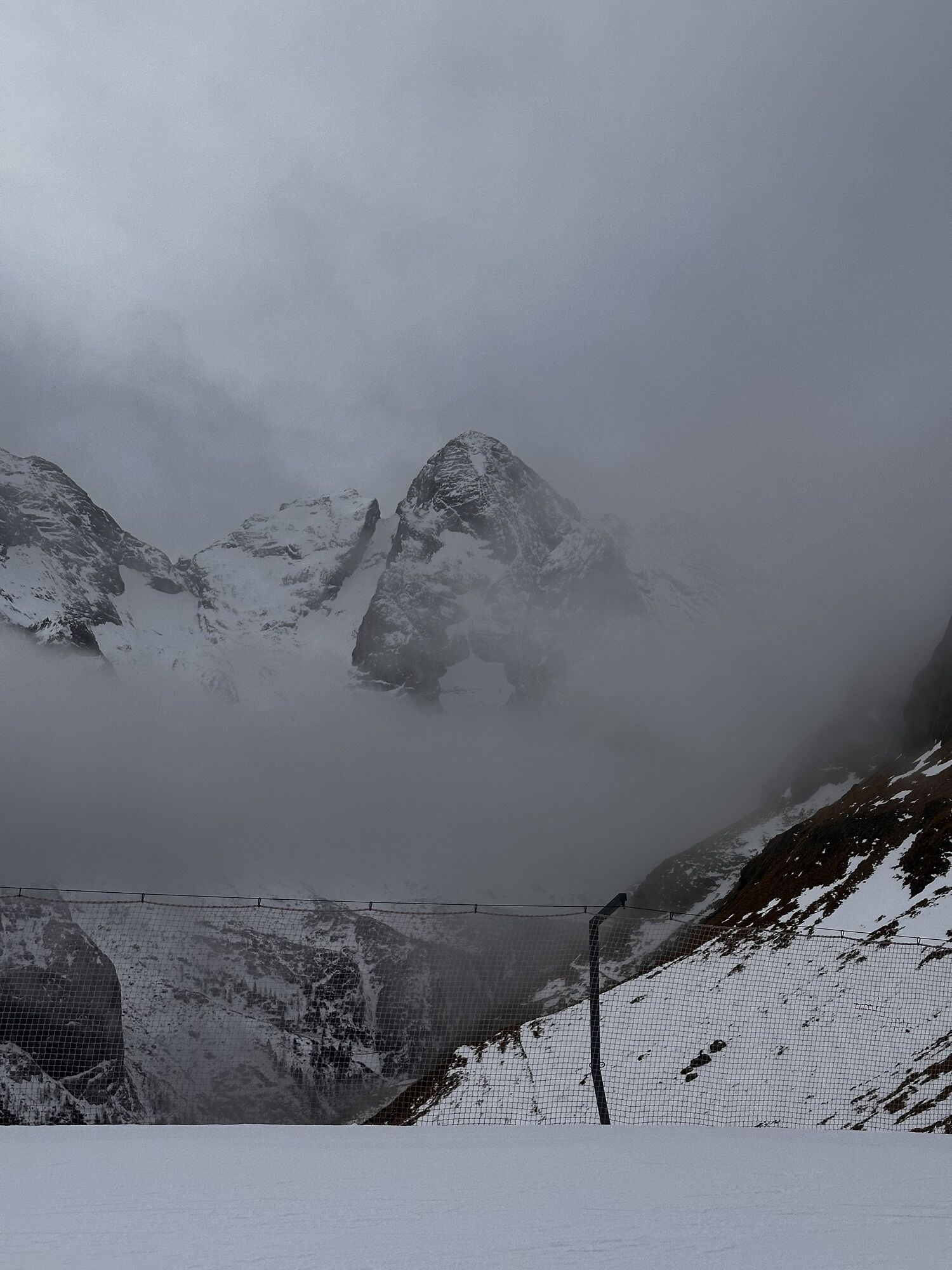
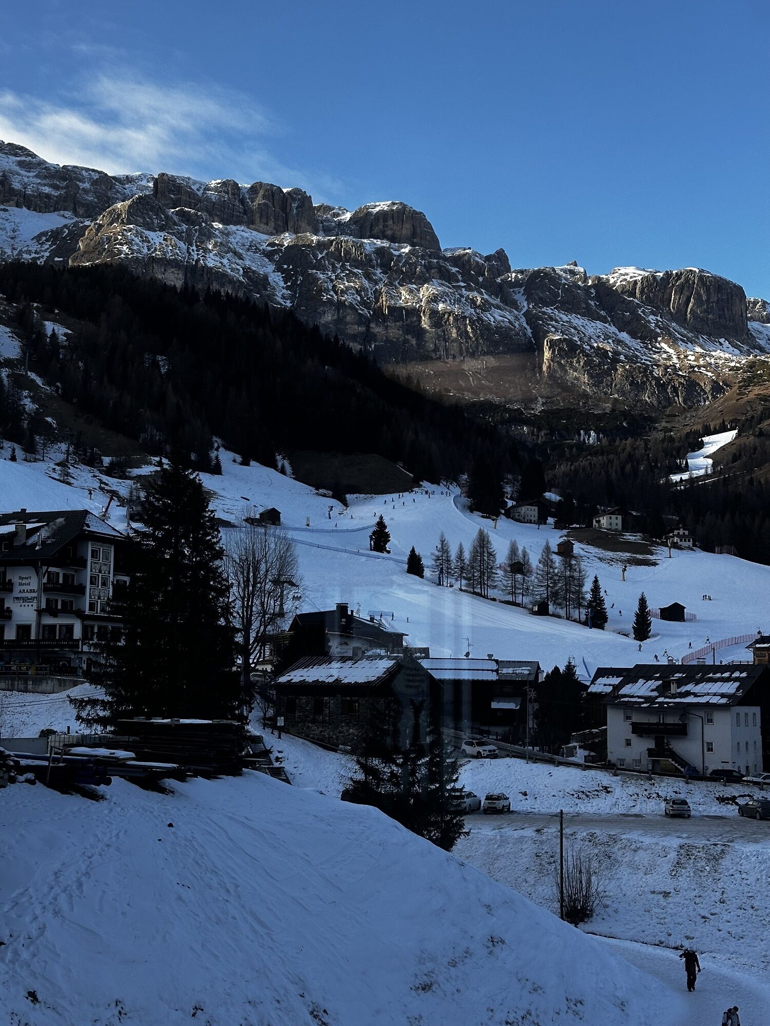
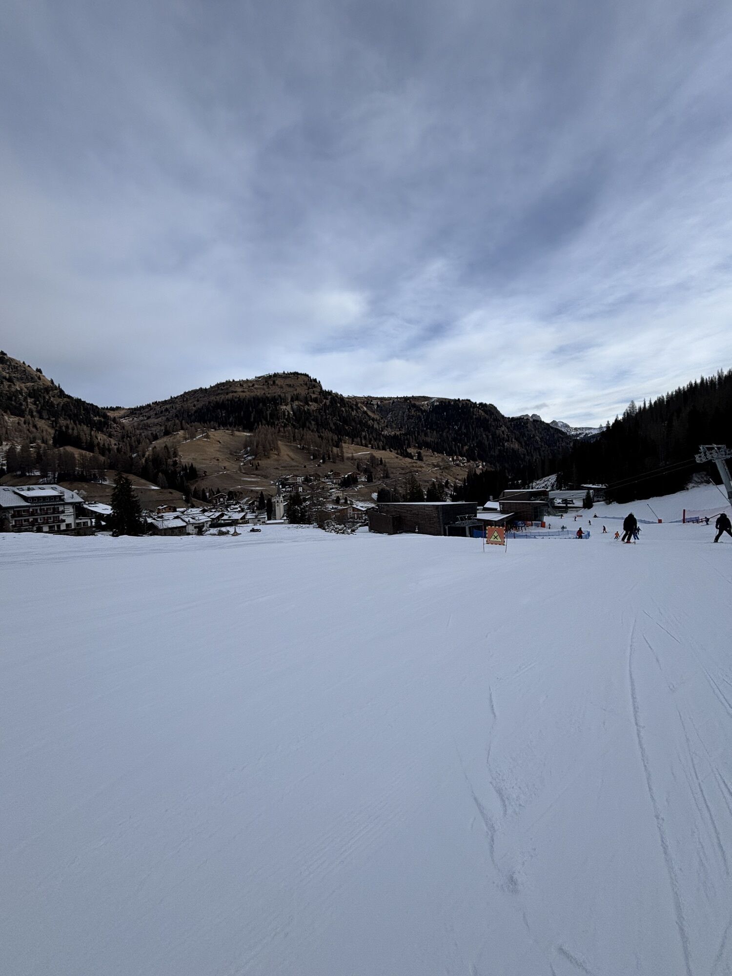
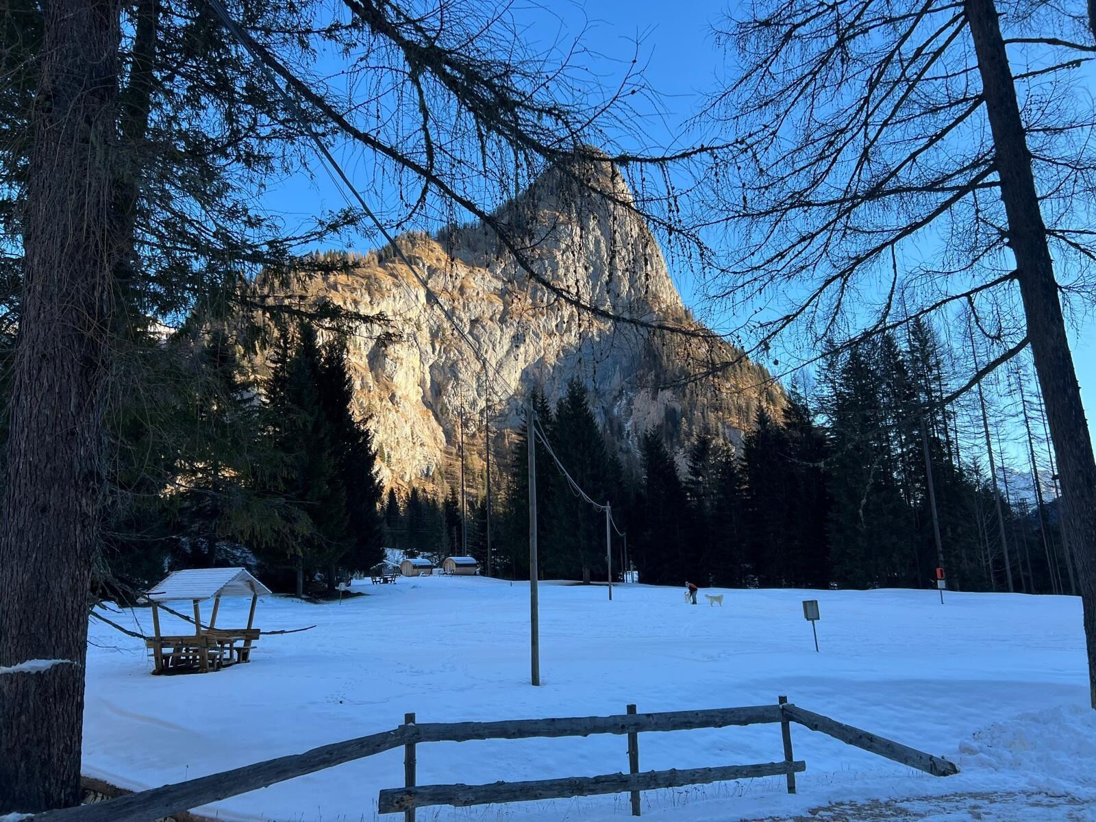
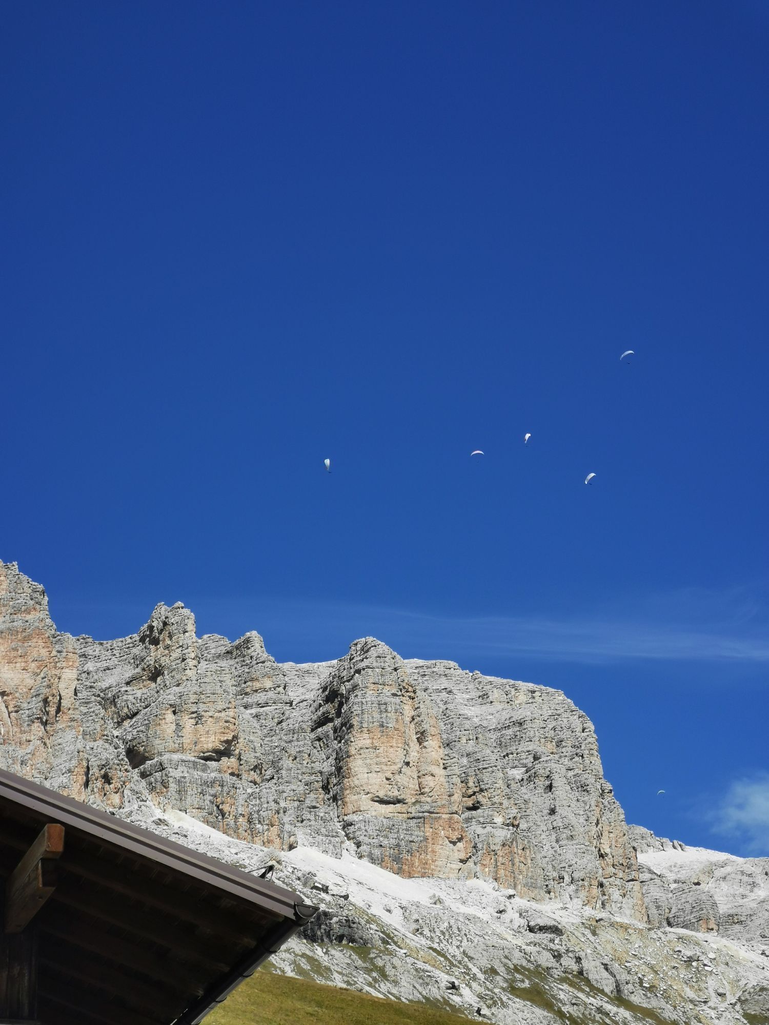
A historic path from which the name itself derives from the commercial exchanges that took place along the route in ancient times.
Departure from Arabba with the "Porta Vescovo" cable car that already...
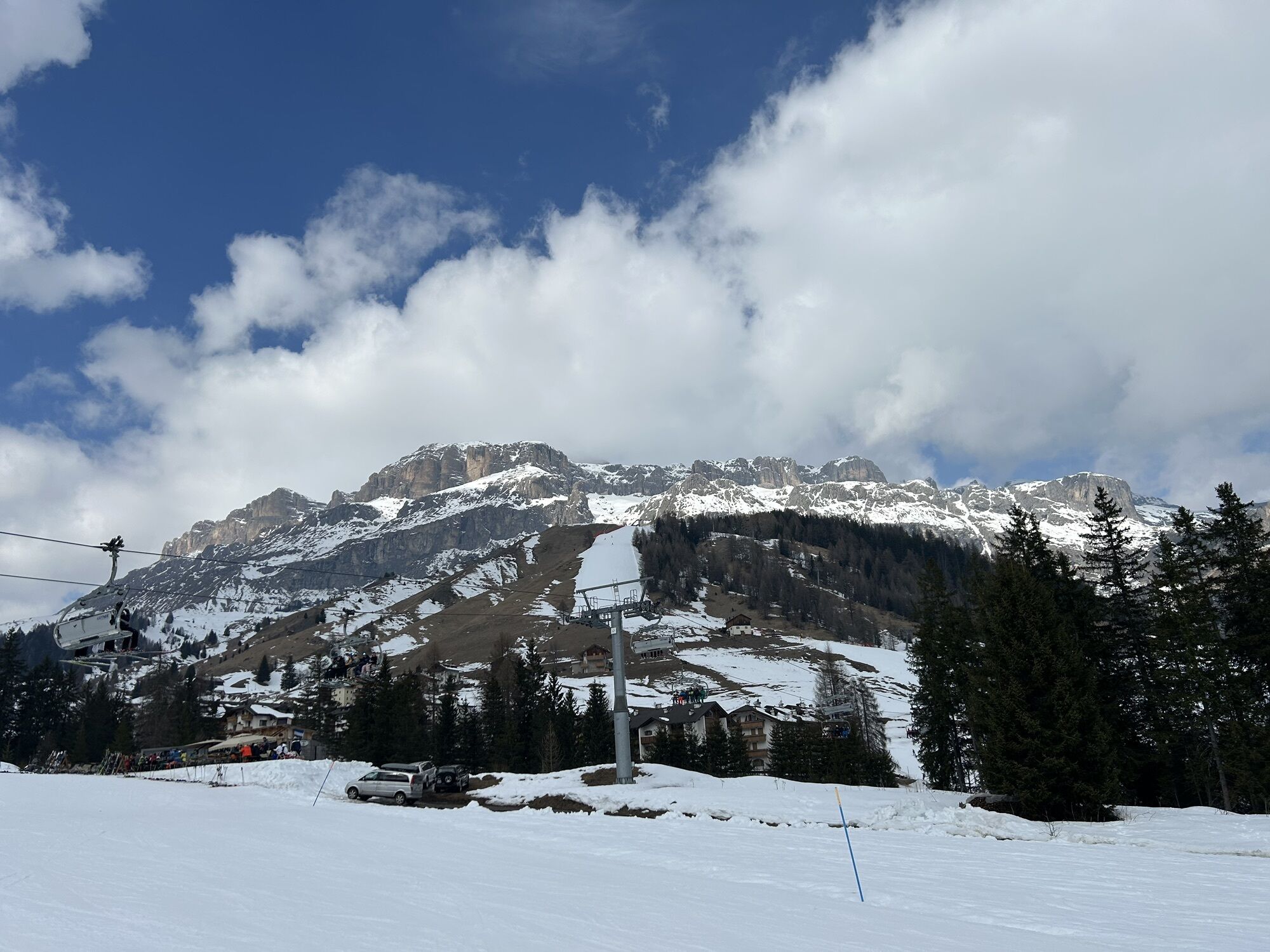
A historic path from which the name itself derives from the commercial exchanges that took place along the route in ancient times.
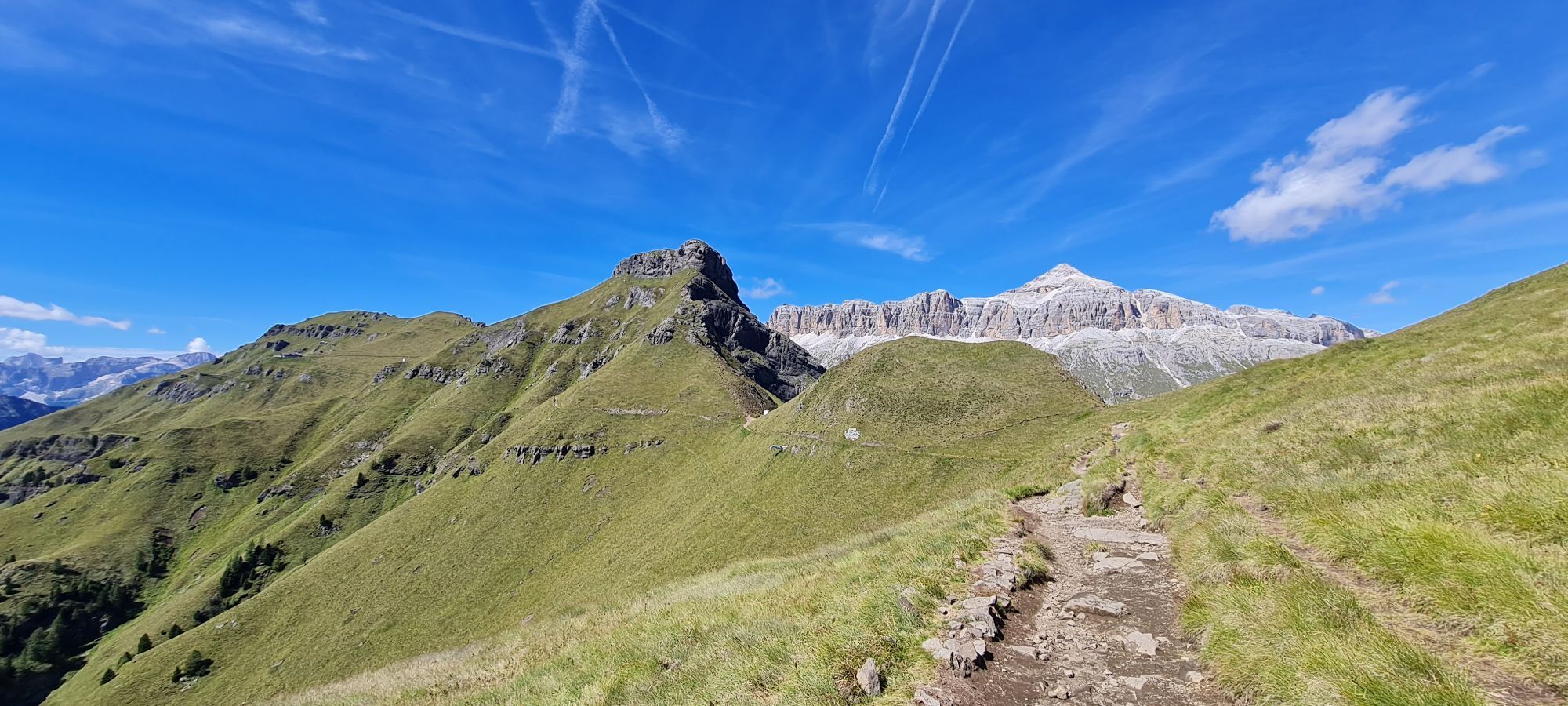
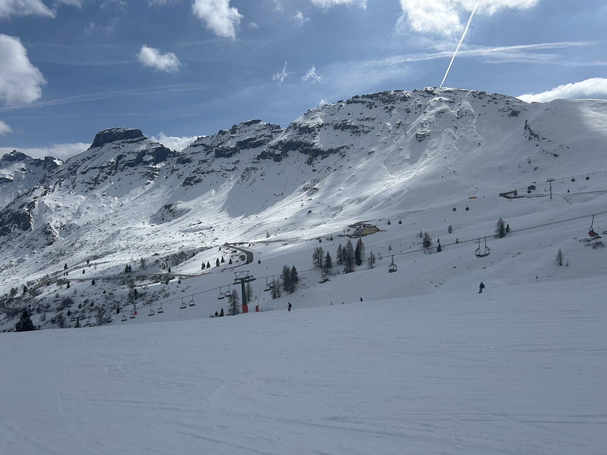
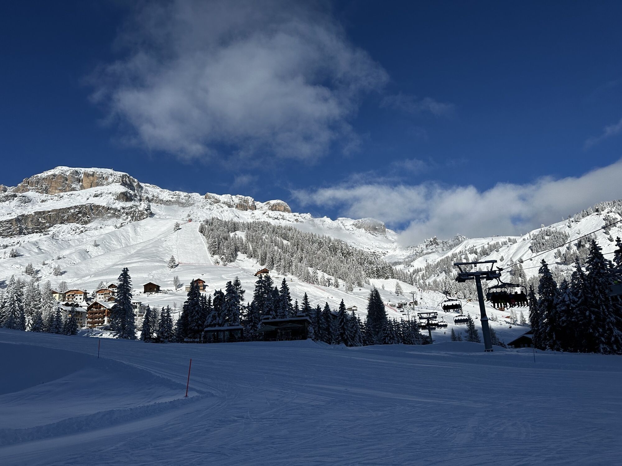
Departure from Arabba with the "Porta Vescovo" cable car that already takes you to 2500m altitude, from here take the path 601 which gently descends along the ridge of the Fedaia pass continuing towards Pordoi.
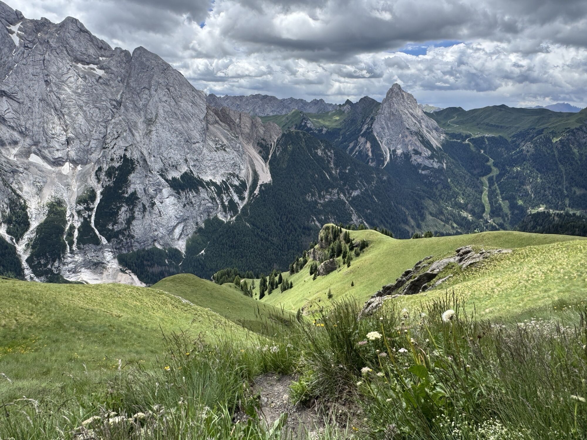
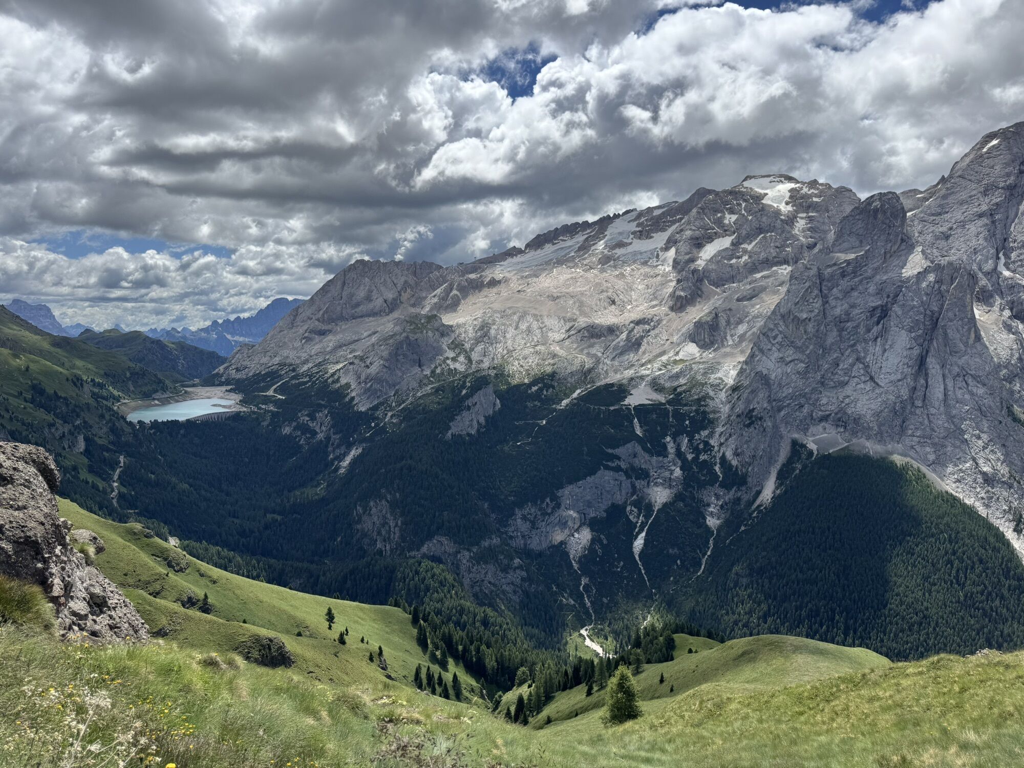
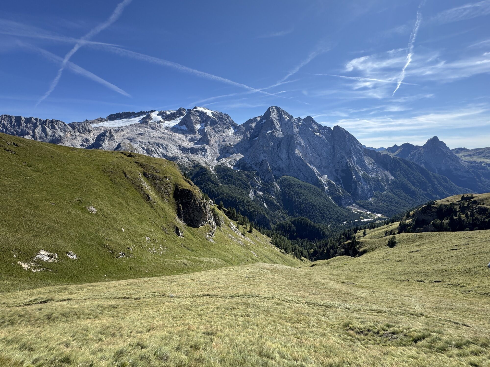
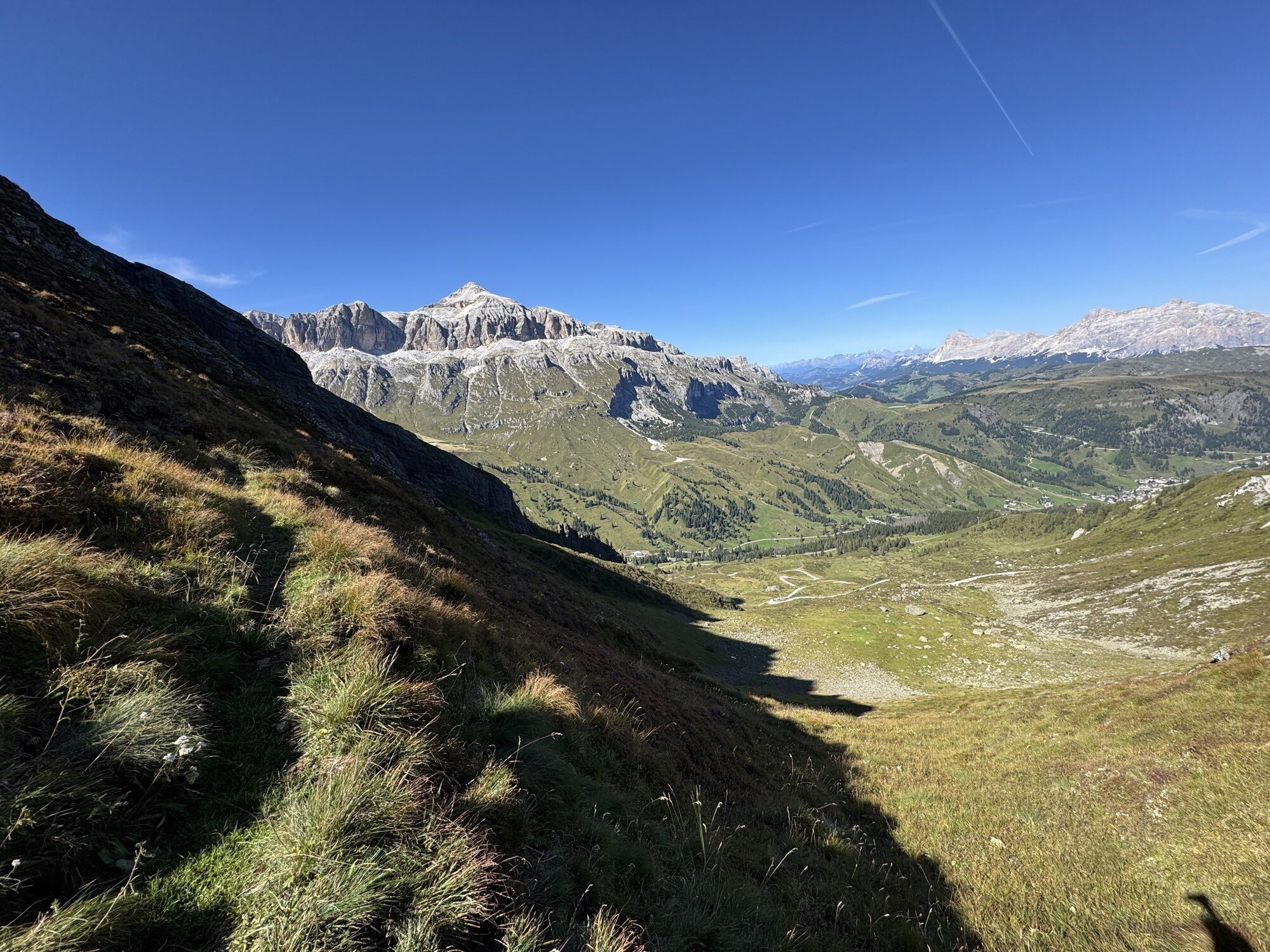
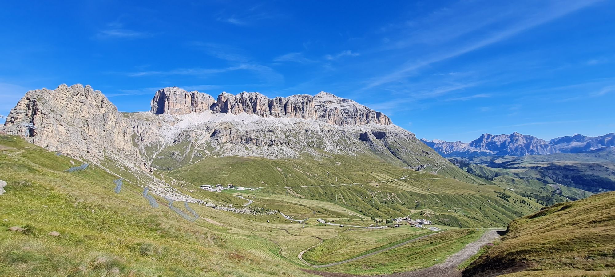
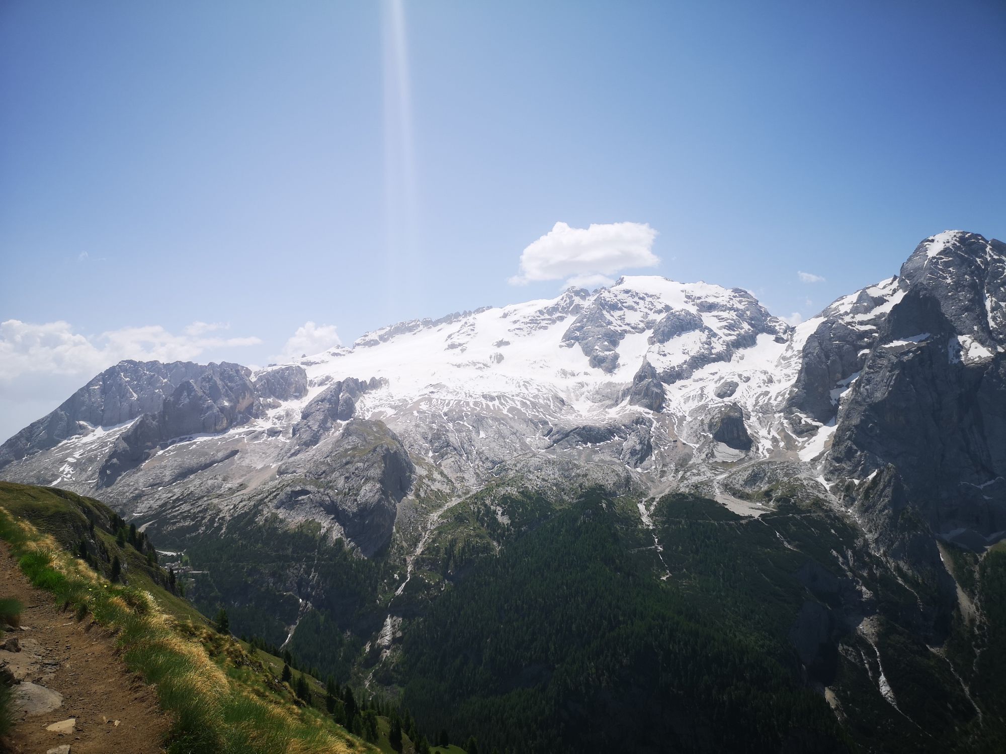
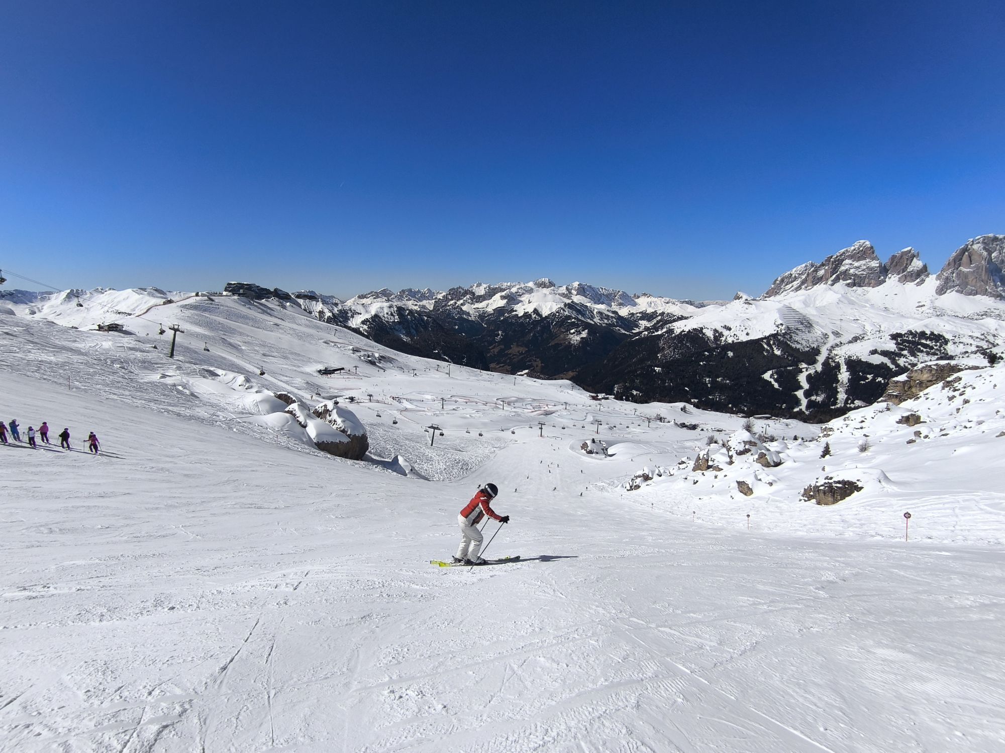
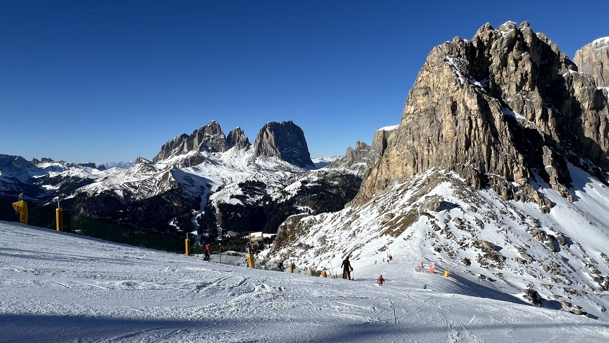
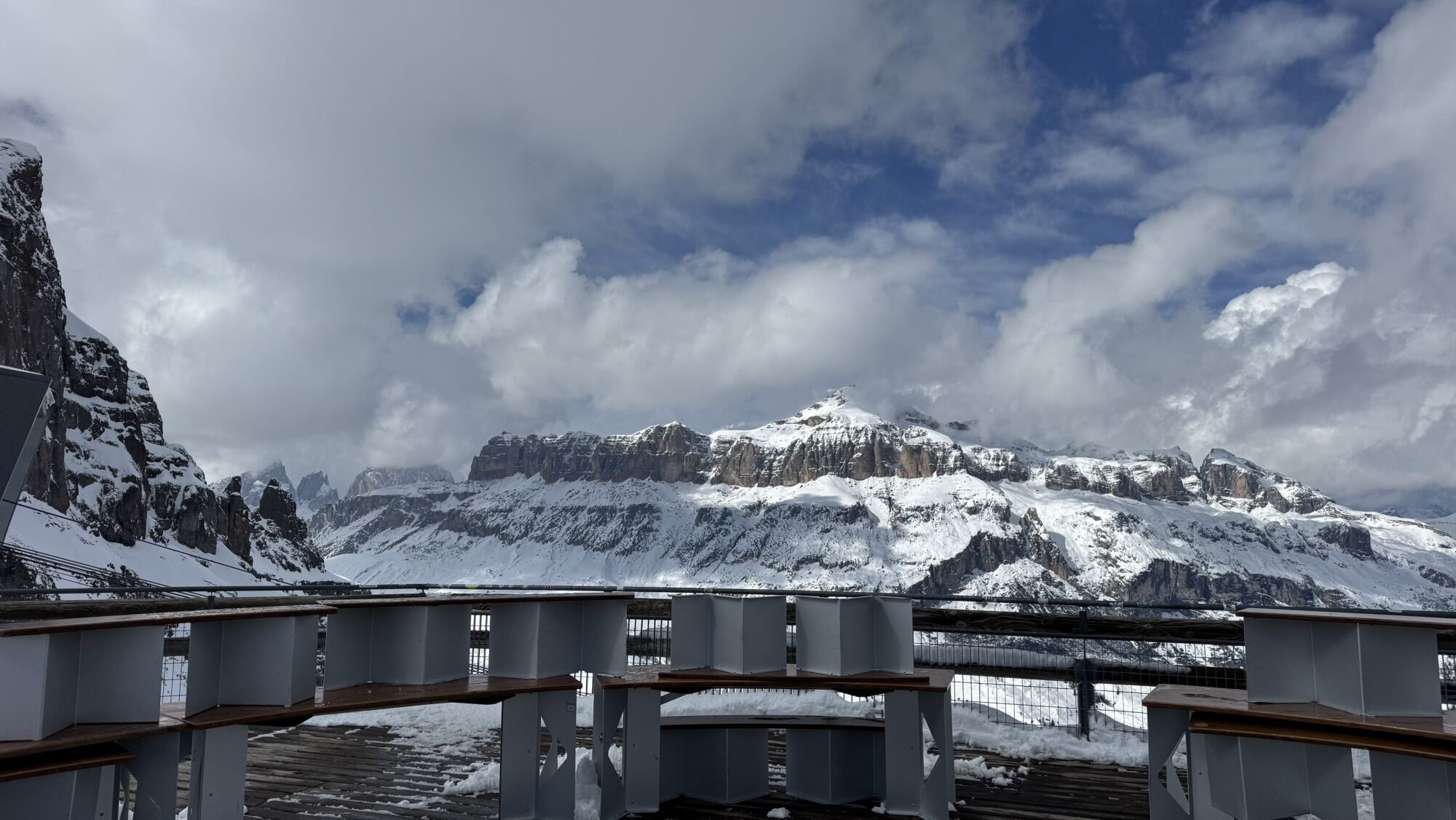
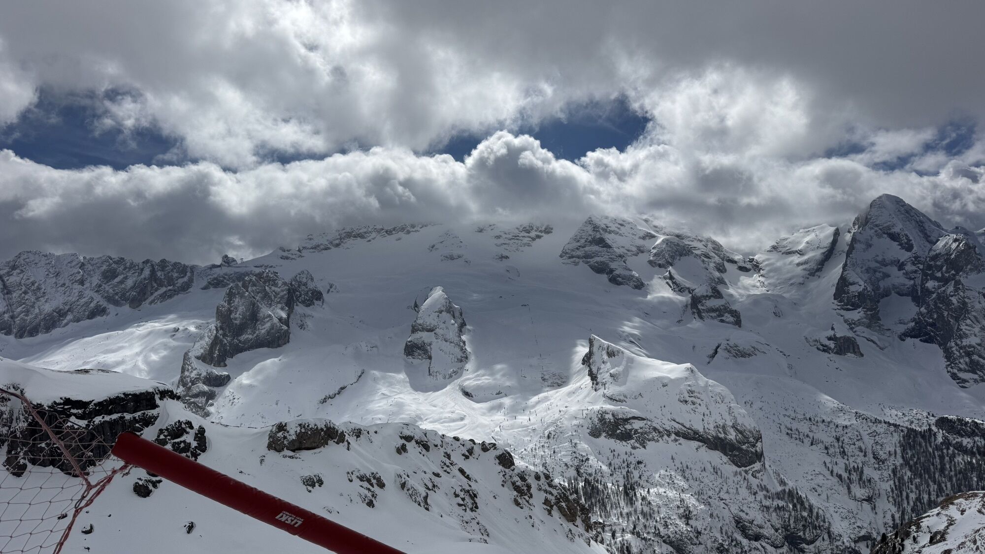
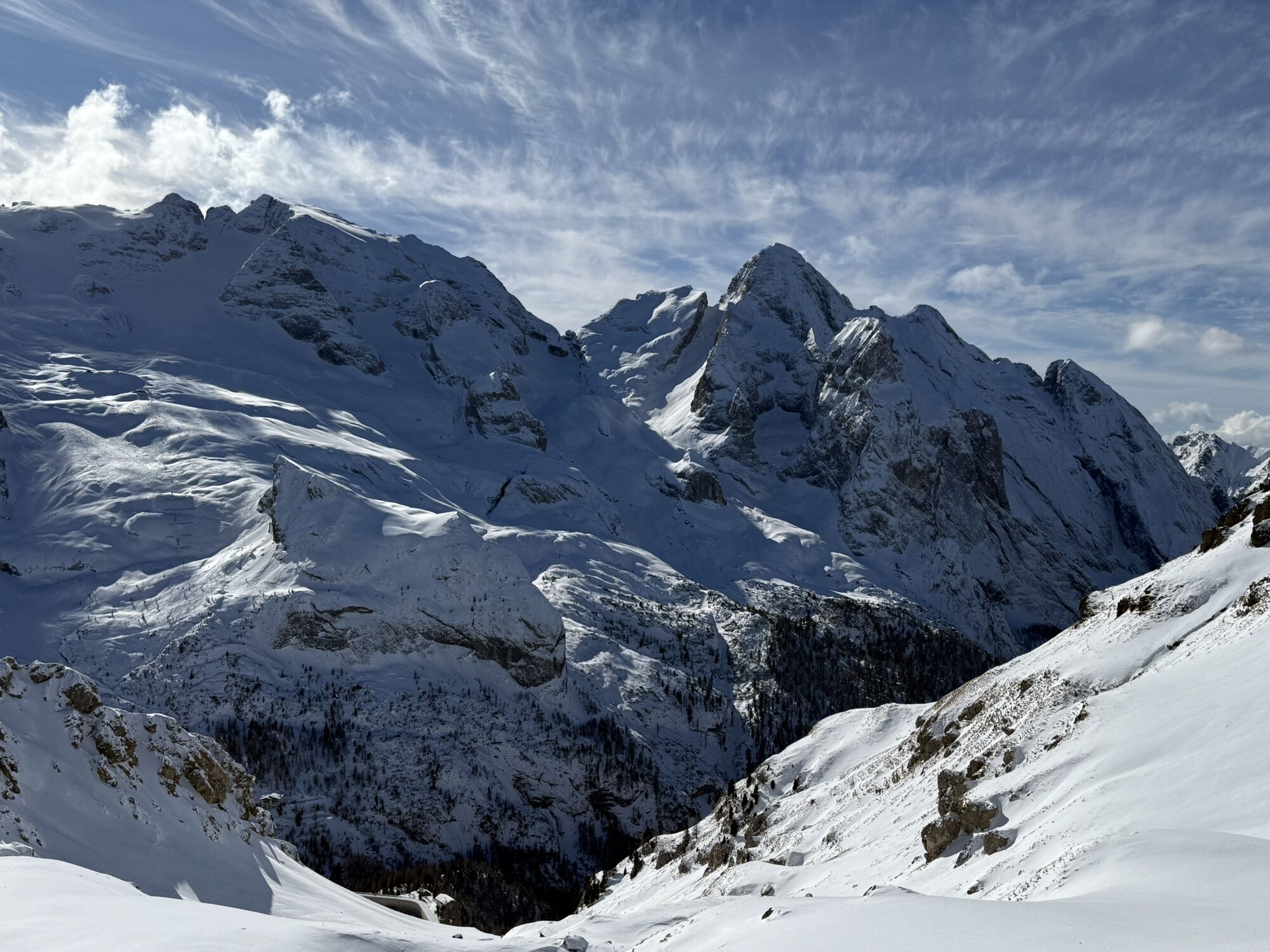
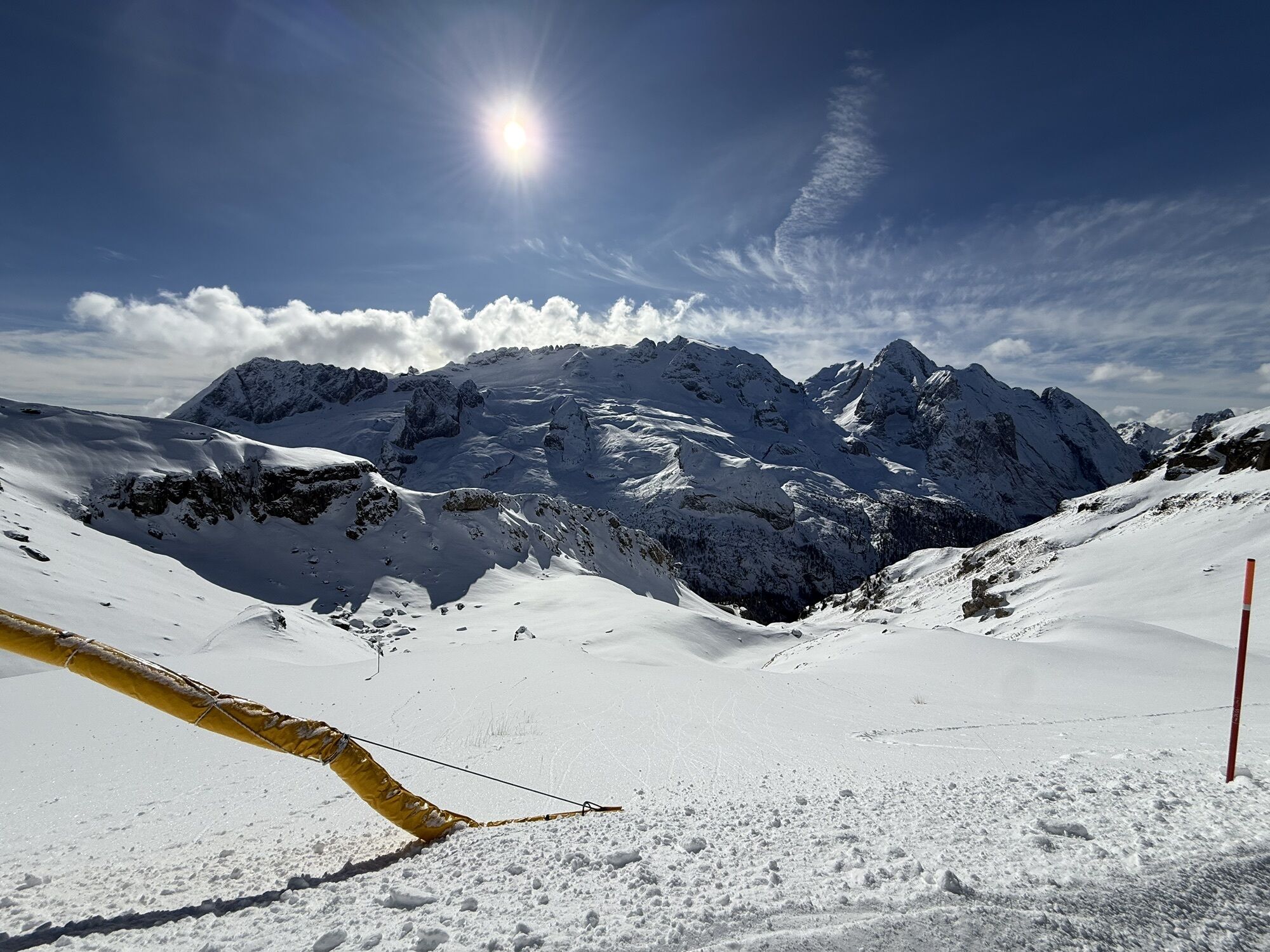
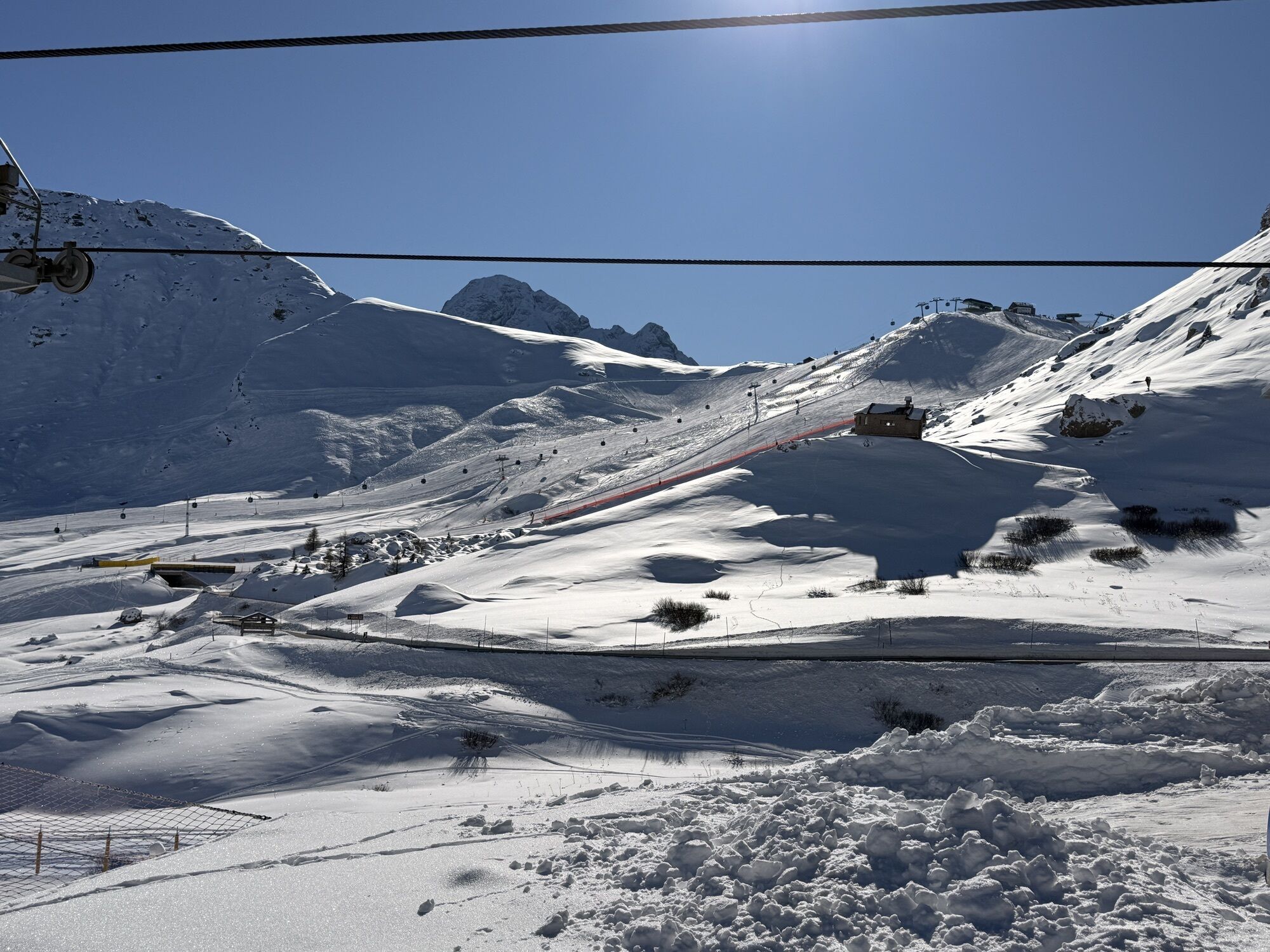
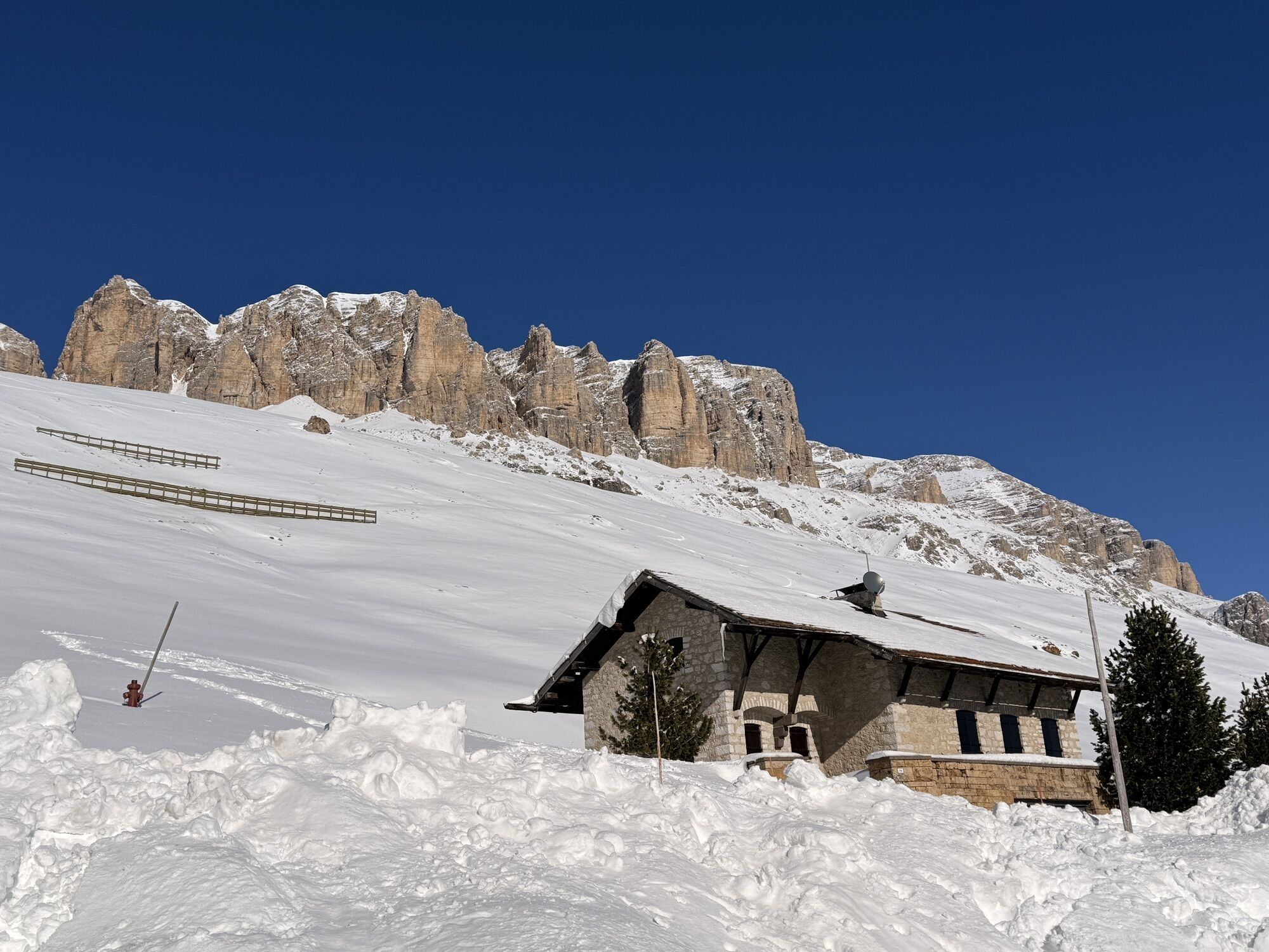
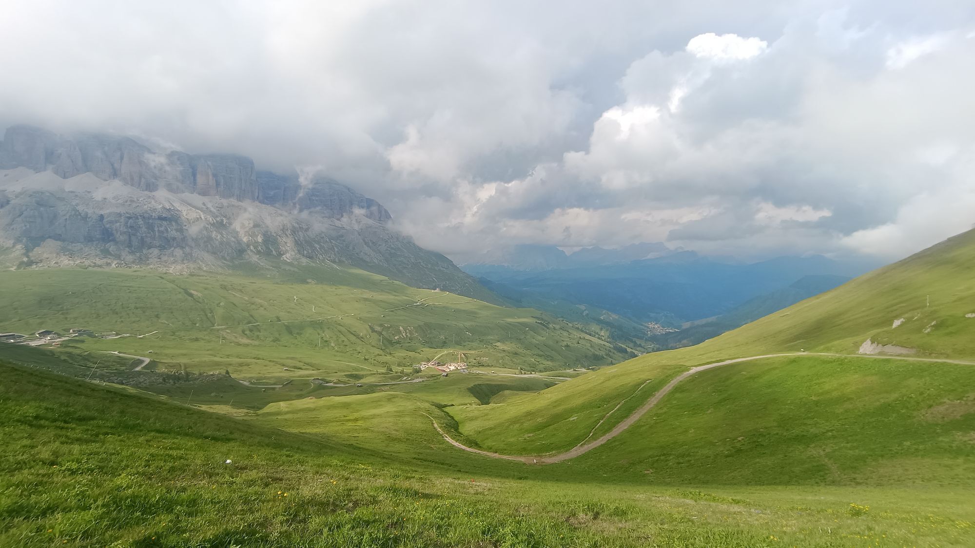
The route develops with medium altitude difficulties always staying at altitude in a unique setting; below the Fedaia lake overlooked by the imposing Marmolada glacier, opposite the Sella group with the Sass Becè, the Sasso Lungo and the Sasso Piatto. Once you arrive at Pordoi, a visit to the Great War Museum and the German Ossuary is recommended.
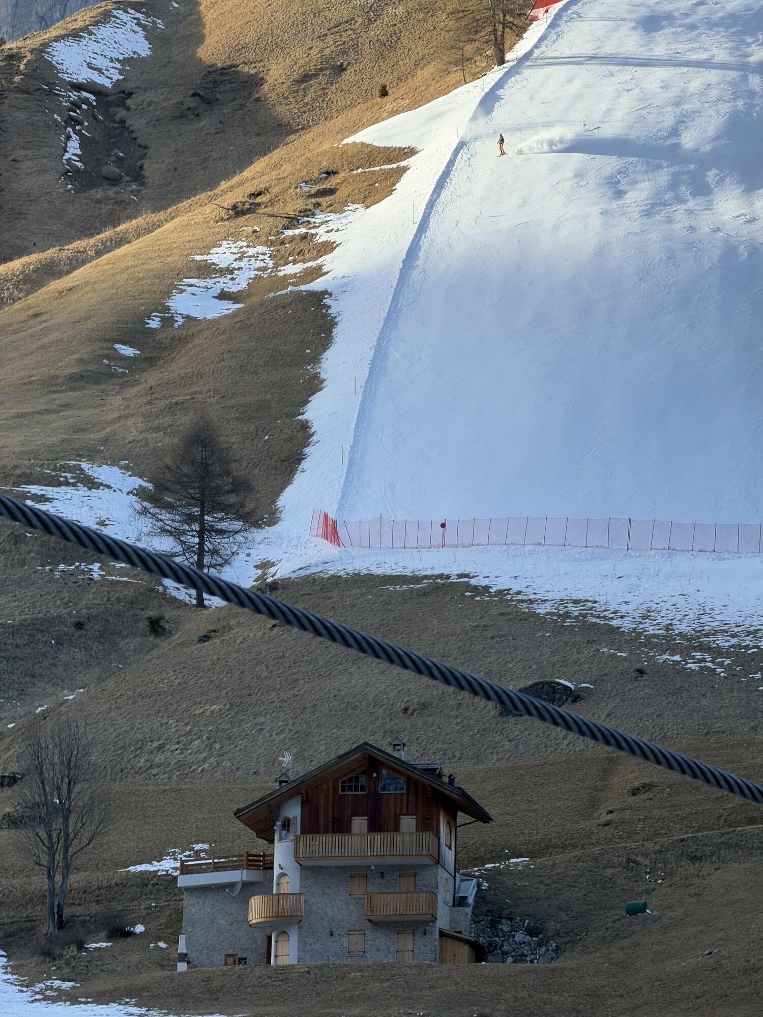
From the Pordoi pass it is recommended to descend with the "Fodom" cable car which will take you to the "Pont de Vauz" locality and continue for another 40 minutes towards Arabba along a path of meadows and pastures with the possibility of meeting cows or marmots.
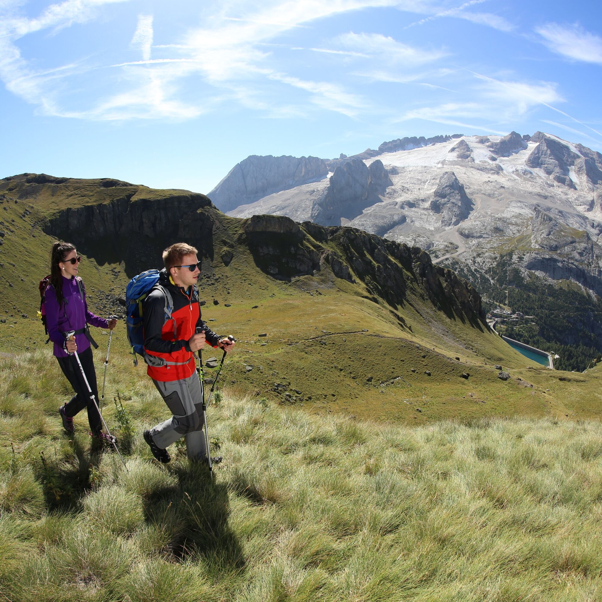
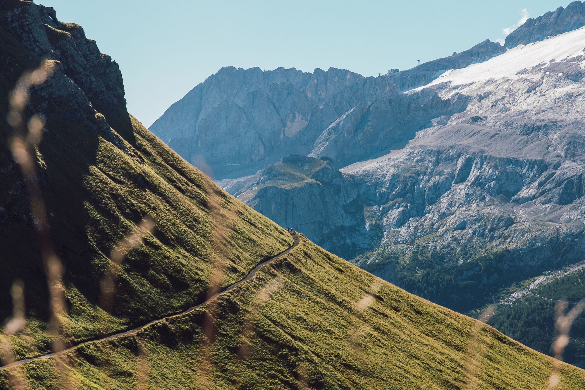
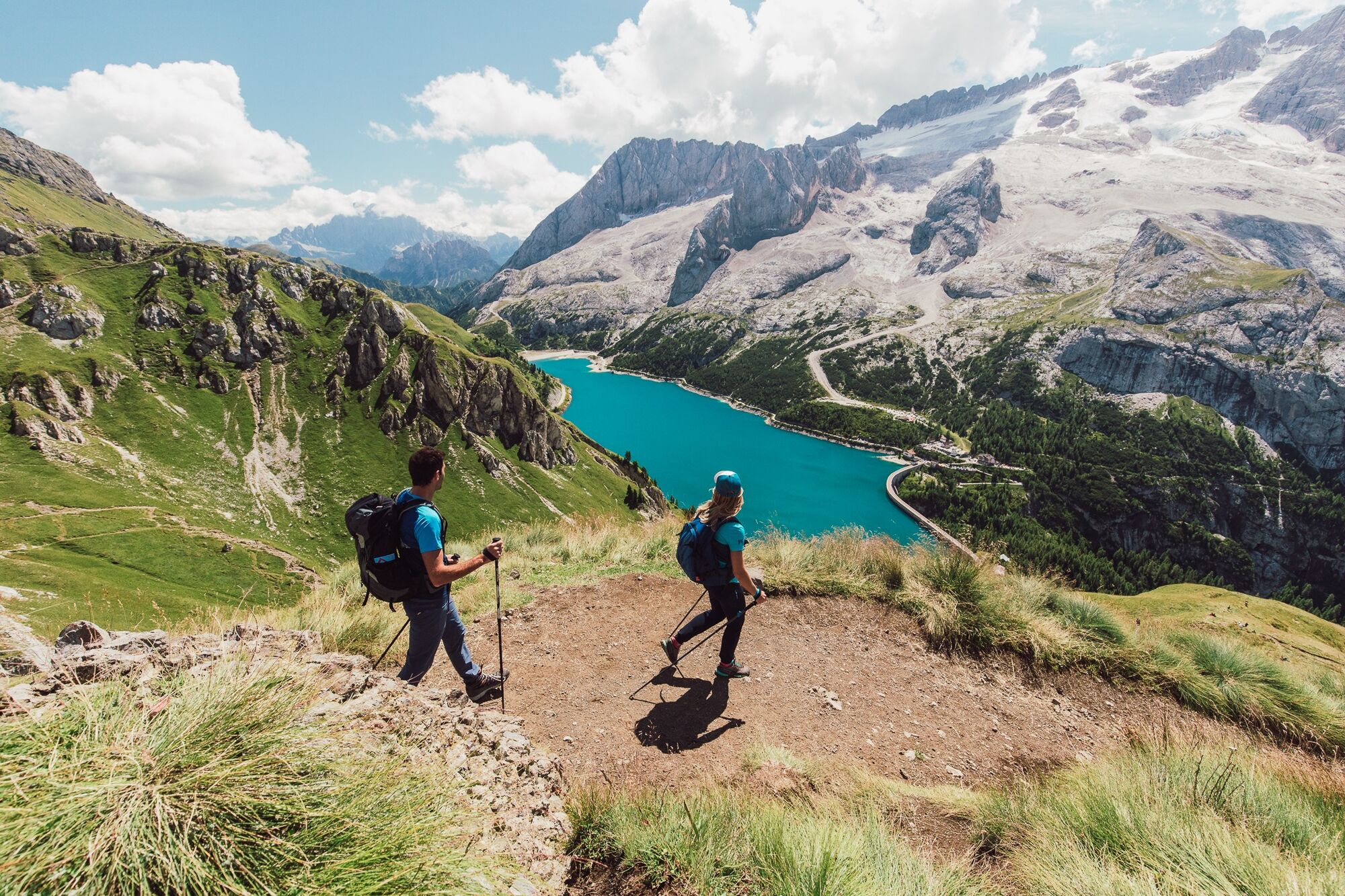

Departure from Arabba with the "Porta Vescovo" cable car that already takes you to 2500m altitude, from here take path 601 which gently descends along the ridge of the Fedaia pass continuing towards Pordoi.
The route develops without major altitude difficulties, always staying at altitude in a unique setting; below is the Fedaia lake overlooked by the imposing Marmolada glacier, opposite the Sella group with the "Sas Becè", the Sasso Lungo and the Sasso Piatto. Once you arrive at Pordoi, a visit to the Great War museum and the German Ossuary is recommended.
From Pordoi Pass it is recommended to descend with the "Fodom" cable car that will take you to the "Pont de Vauz" locality and continue for another 40 minutes towards Arabba along a path of meadows and pastures with the possibility of meeting cows or marmots.
Tak
Tak
Tak
The hiker's kit:
waterproof backpack or with waterproof cover (not too large if the hike is short) topographic map (or alternatively a local map with suggested paths) compass and altimeter (or alternatively a sports watch) binoculars water bottles energy bars or snacks chocolate filled sandwiches (or alternatively meal in a high-altitude hut) breathable T-shirt spare T-shirt (better if breathable) sweatshirt or fleece windproof and waterproof jacket shorts long trousers socks (long or mid-calf) soft multi-sport ankle-wrapping boots hat/light headband anti-reflective sunglasses sunscreen telescopic trekking poles first aid kit (bandages, disinfectant, gauze, etc.)Initial section slightly exposed.
Always let someone know where you are going and the approximate duration of the hike.
The emergency phone number is 112 or 118 (ambulance).
By car
From Innsbruck Brenner A22 motorway up to the Bressanone exit, continue through Val Pusteria, Val Badia, Campolongo Pass, and Arabba. From Verona/Milan Brenner A22 motorway up to Egna Ora castle, continue through Val di Fiemme, Val di Fassa, Pordoi Pass and Arabba. From Venice A27 motorway Belluno exit, follow Agordina 203 to Agordo, Caprile, and Arabba.By train
Nearest railway stations:
Belluno - 70 km Brunico - 48 km Ponte Gardena - 51 kmBy bus
Brunico - 47 Km connection via SAD line www.sad.it Belluno – 70 Km connection via Dolomitibus lineBy plane
Venice Treviso/Venice Marco Polo – 160/170 km Innsbruck - 140 km Verona – 270 km Milan Bergamo/Milan Malpensa - 310/400 kmFor the return, it is possible to use the bus service from Pordoi Pass provided by Sad.
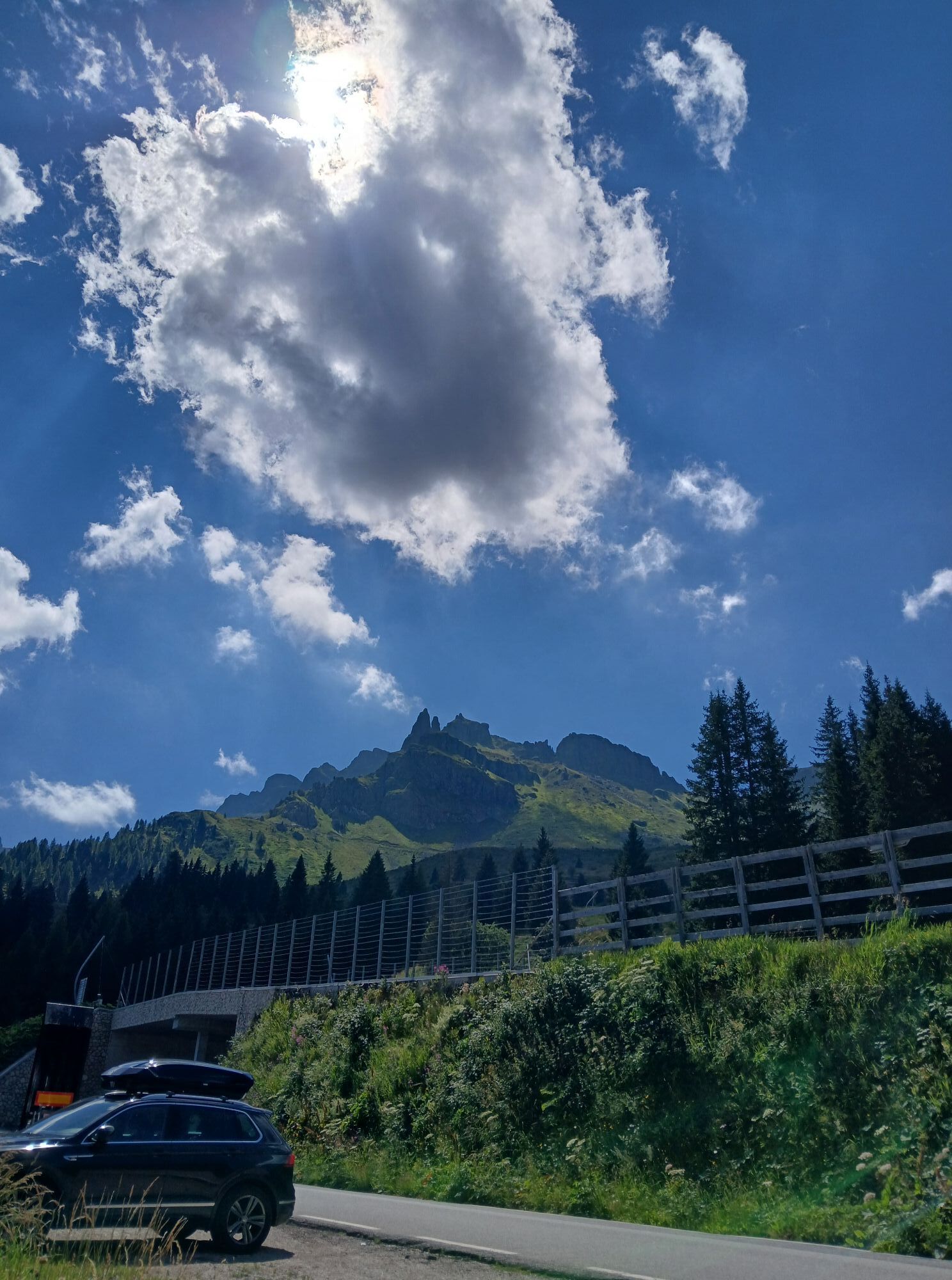
Free parking is available near the "Porta Vescovo" cable car and paid parking near the Arabba Church.
Before departing we recommend you check the weather, which changes rapidly in the mountains, and the trail conditions.
Once you arrive at Pordoi, a visit to the Great War museum and the German Ossuary is recommended.
"The sustainable hiker's handbook":
choose the itinerary according to your physical and technical abilities inform yourself before departure about the route you intend to take (distances, altitude gain, time required, springs, fountains, huts, lifts, bivouacs, etc.) check the condition of the chosen path never undertake a hike alone always carry all waste back down please remain on marked paths please keep silent do not collect stones or minerals do not feed animals do not light fires do not pick flowers or plants.Kamery internetowe z trasy
-
Col dei Rossi
-
Rifugio Maria Sass Pordoi
-
Arabba - Bec de Roces
-
Arabba - Porta Vescovo
-
Pordoi - Pass
-
Canazei - Col dei Rossi
-
Canazei - Col dei Rossi
-
Canazei - Col dei Rossi
-
Canazei - Col dei Rossi
-
Canazei - Col dei Rossi
-
Canazei - Col dei Rossi
-
Canazei - Col dei Rossi
-
Canazei - Col dei Rossi
-
Boé
-
Pordoi - Pass
-
Canazei - Col dei Rossi
-
Canazei - Col dei Rossi
-
Canazei - Col dei Rossi
-
Canazei - Col dei Rossi
-
Canazei - Col dei Rossi
-
Sass Pordoi - Altopiano del Boe
-
Sass Pordoi - Altopiano del Boe
-
Sass Pordoi - Altopiano del Boe
-
Sass Pordoi - Altopiano del Boe
-
Sass Pordoi - Altopiano del Boe
-
Sass Pordoi - Altopiano del Boe
-
Sass Pordoi - Altopiano del Boe
-
Sass Pordoi - Altopiano del Boe
-
Sass Pordoi - Altopiano del Boe
-
Sass Pordoi - Altopiano del Boe
-
Sass Pordoi - Altopiano del Boe
-
Sass Pordoi - Altopiano del Boe
-
Sass Pordoi - Altopiano del Boe
-
Sass Pordoi - Altopiano del Boe
-
Sass Pordoi - Altopiano del Boe
-
Sass Pordoi - Altopiano del Boe
-
Sass Pordoi - Altopiano del Boe
-
Sass Pordoi - Altopiano del Boe
-
Sass Pordoi - Altopiano del Boe
-
Sass Pordoi - Altopiano del Boe
Uzyskaj wgląd
Zawsze na żywo z ponad 9 500 kamer internetowych. bergfex Jako użytkownik Pro, możesz teraz zobaczyć odpowiednie kamery internetowe dla wielu wycieczek w aplikacji wycieczki od. Pozwala to na bezpośredni podgląd aktualnych warunków.

Popularne wycieczki w okolicy
-
4,7
Pordoi Pass - Sass Pordoi - Forcella Pordoi - Piz Boè - Boè Refuge - Forcella Pordoi - Pordoi Pass
ciężkiWędrówka 8,39 km -
5,0
Langkofel Klettersteig/Ferrata Furcela de Saslonch
ciężkiVia ferrata 7,07 km -
5,0
Um den Langkofel
średniWędrówka 9,76 km -
4,0
Der Friedrich-August-Weg
średniWędrówka 10,4 km -
4,9
Lang- und Plattkofel Umrundung
średniWędrówka 17,5 km -
4,8
Santnerpass Klettersteig
średniVia ferrata 8,29 km -
4,8
Langkofel-Umrundung
średniWędrówka 12,9 km -
4,8
Pisciadùsteig Sella Gruppe
średniVia ferrata 7,15 km -
4,7
Compatsch - Piz - Saltria - Joch - Compatsch
średniWędrówka 16,8 km -
4,4
Seceda und Regensburger Hütte
średniWędrówka 14,1 km
Wędrówki i tropienie


Nie przegap ofert i inspiracji na następne wakacje
Twój adres e-mail została dodana do listy mailingowej.





