







Corlo Lake Tour

Poziom trudności: T1
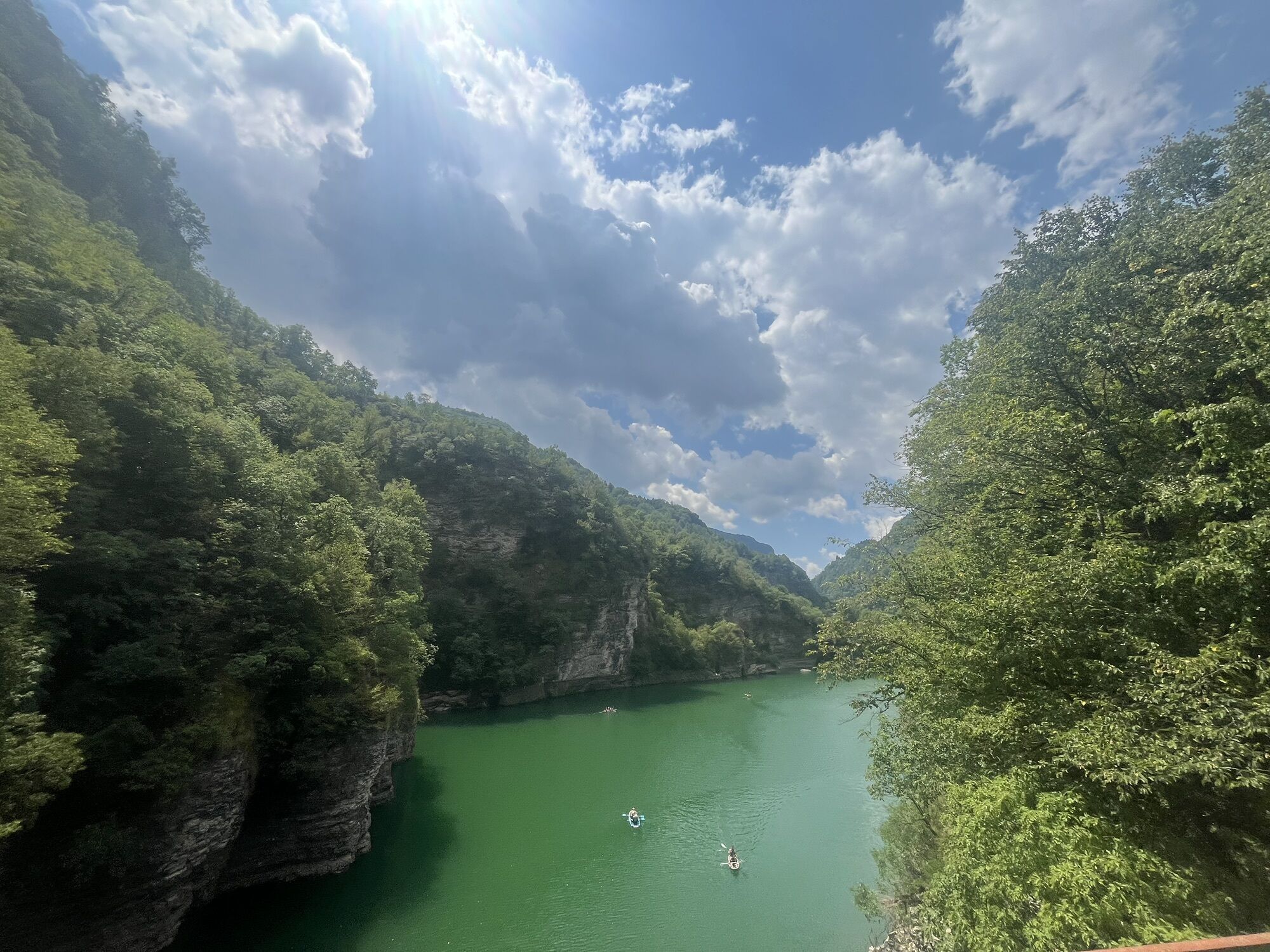
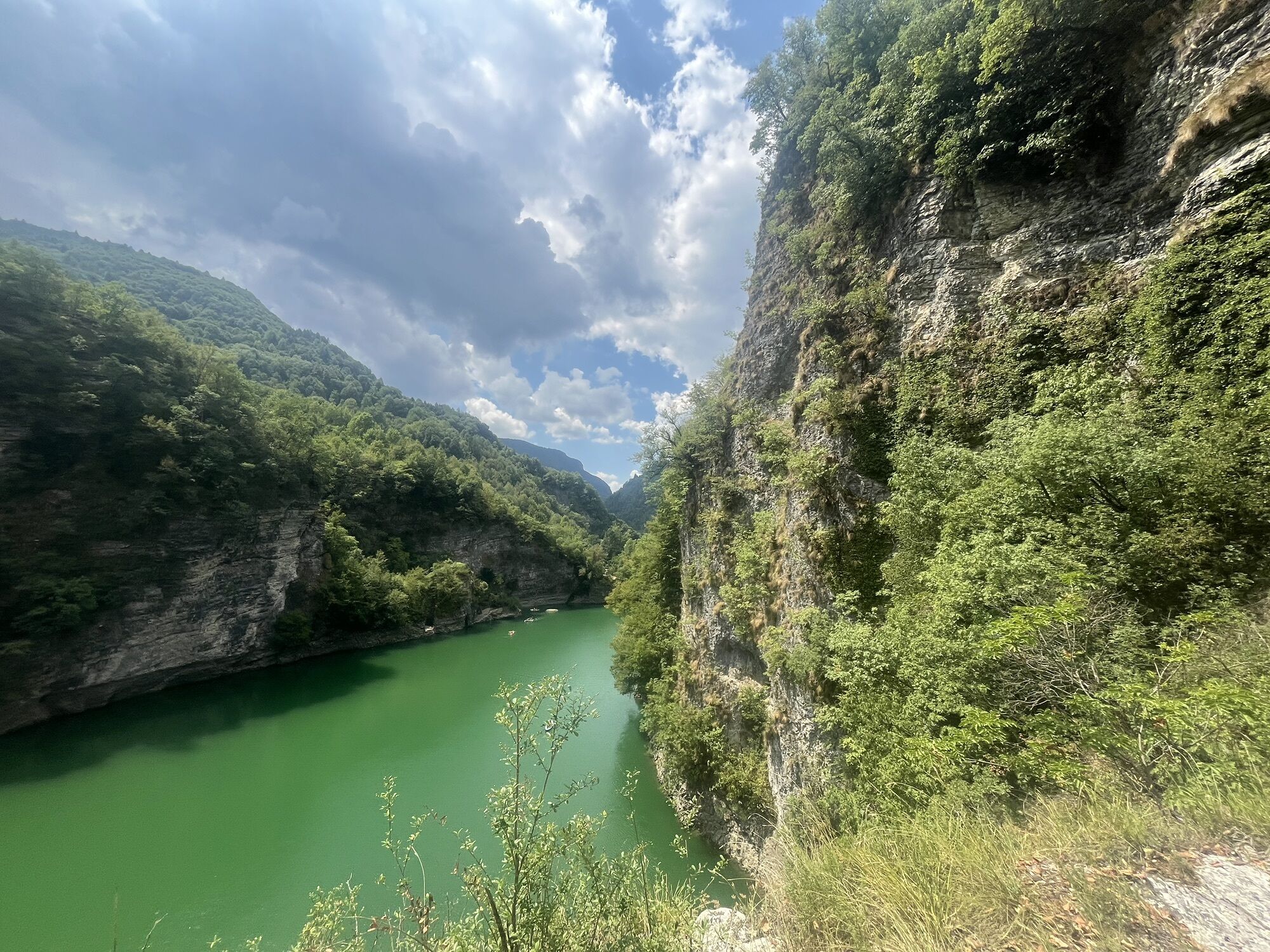
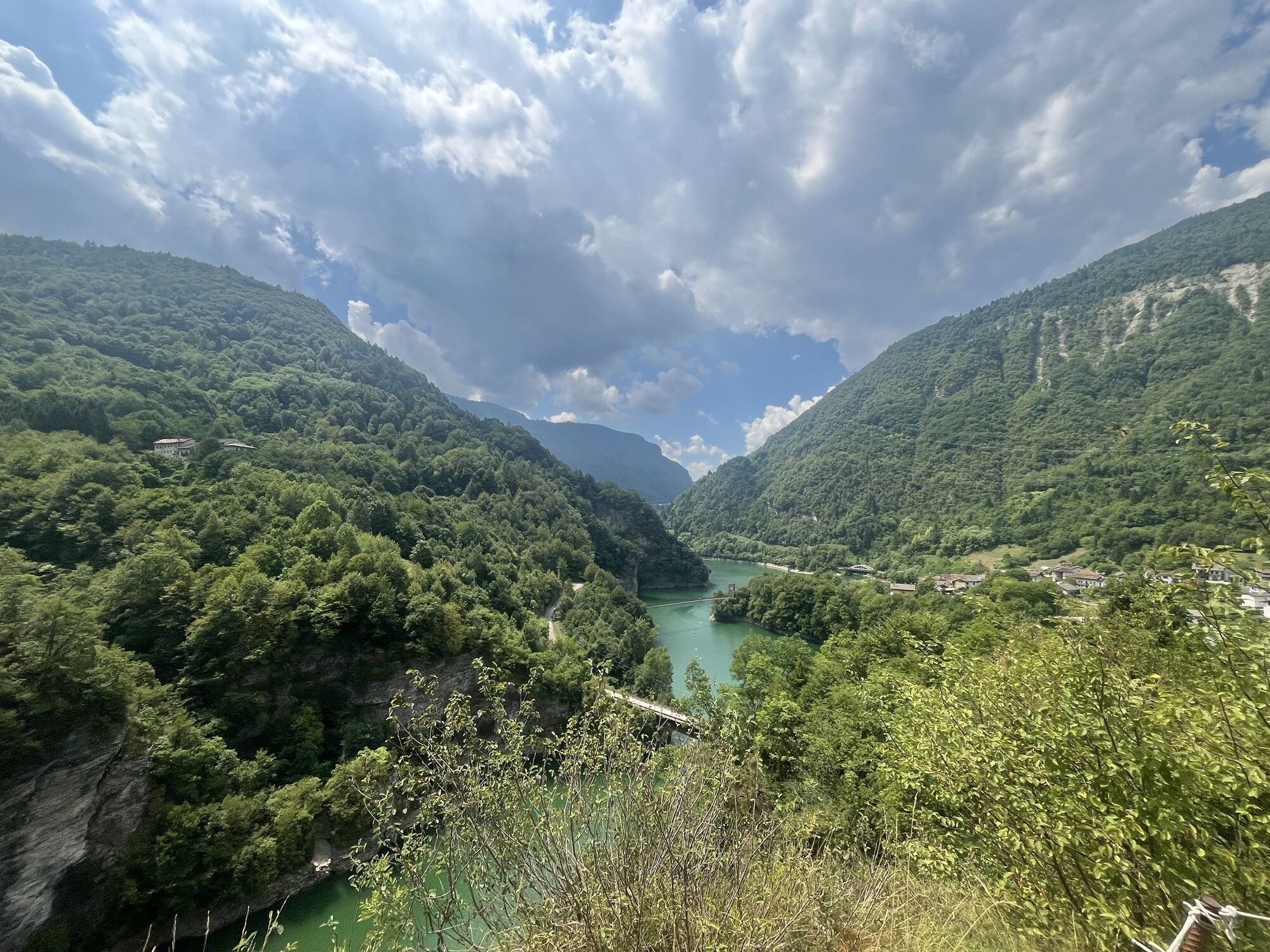
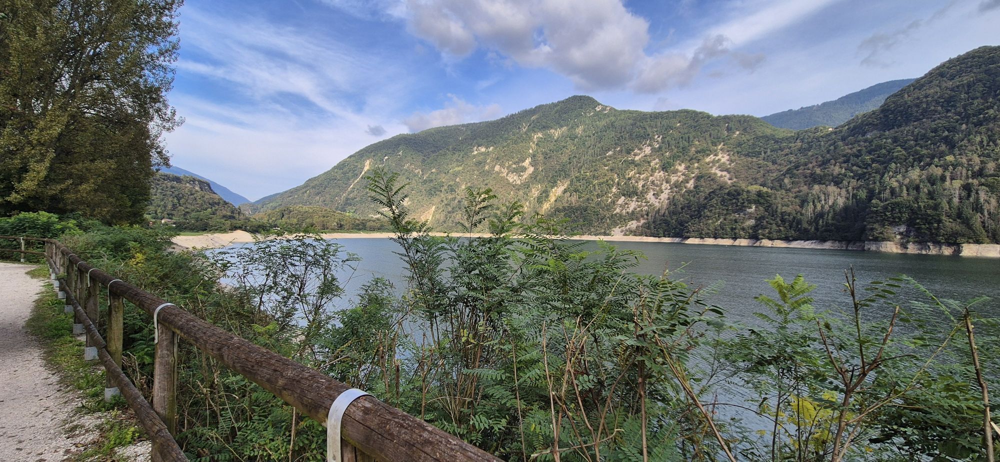
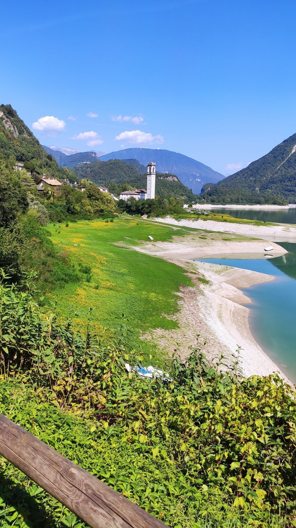
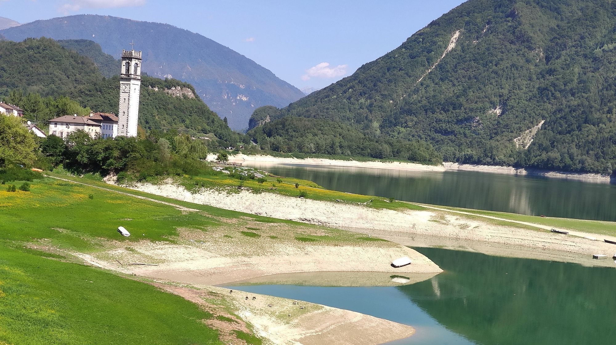
The Corlo Lake tour is a loop itinerary of about 14 km, with 250 m of elevation gain, that takes in natural landscapes and historical evidence along one of the most distinctive basins in the Belluno area....
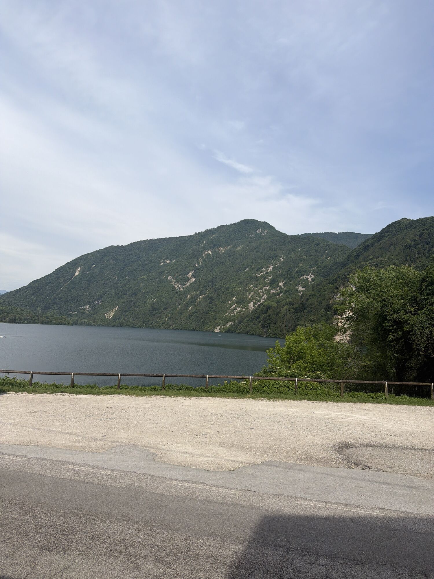
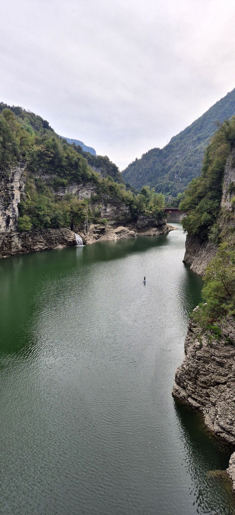
Located between Valsugana and Monte Grappa, Lake Corlo originates from the damming of the Cismon stream inside a deep canyon, taking on an elongated shape reminiscent of a small Alpine fjord. The route allows you to explore the entire basin, alternating stretches along the water with passages through the forest and on scenic trails.
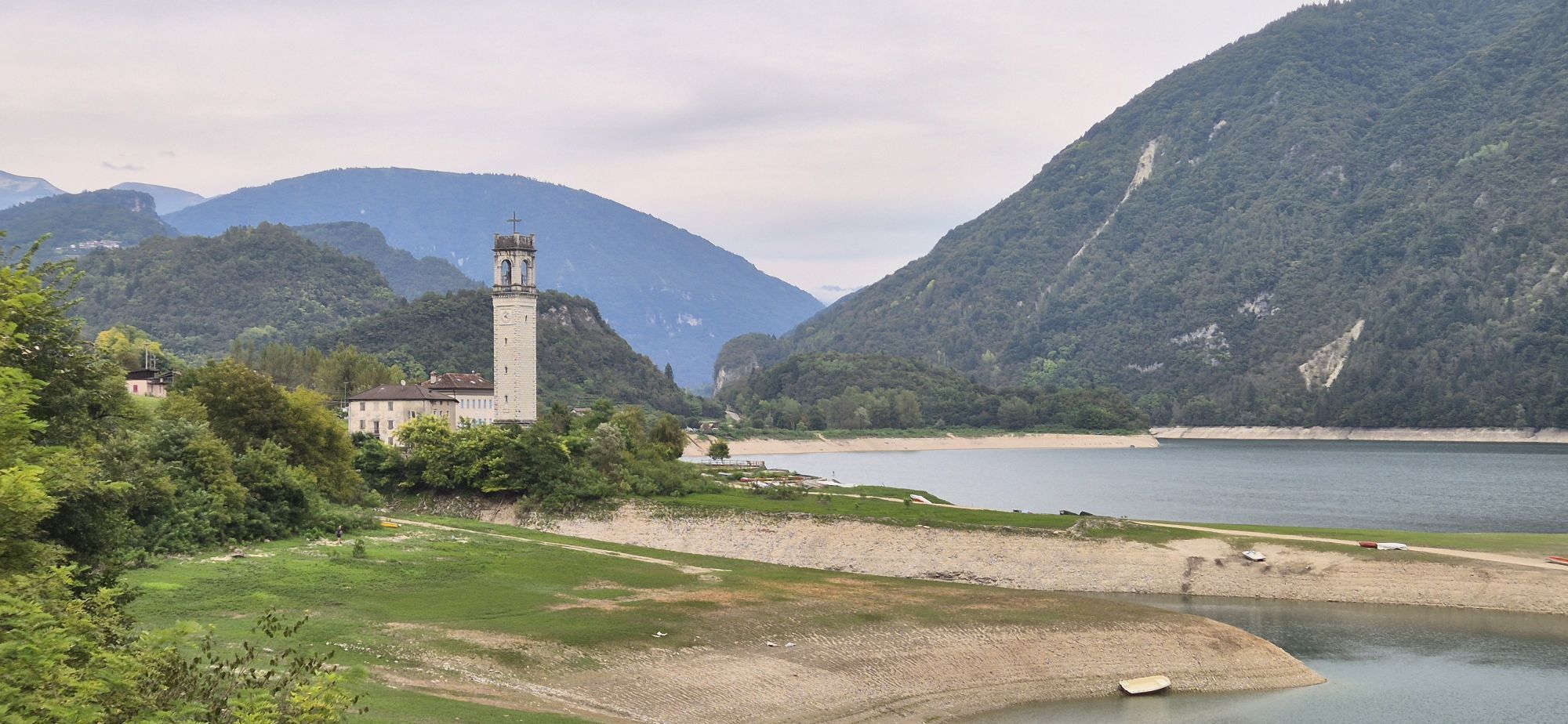
Three bridges are encountered along the itinerary, allowing you to cross the lake and change sides: the Ponte della Vittoria, also known as the suspension bridge, the Ponte della Bassane and the Ponte de Polo, from which there is a view of the hamlet of Rocca, partly submerged with the creation of the reservoir in 1954.
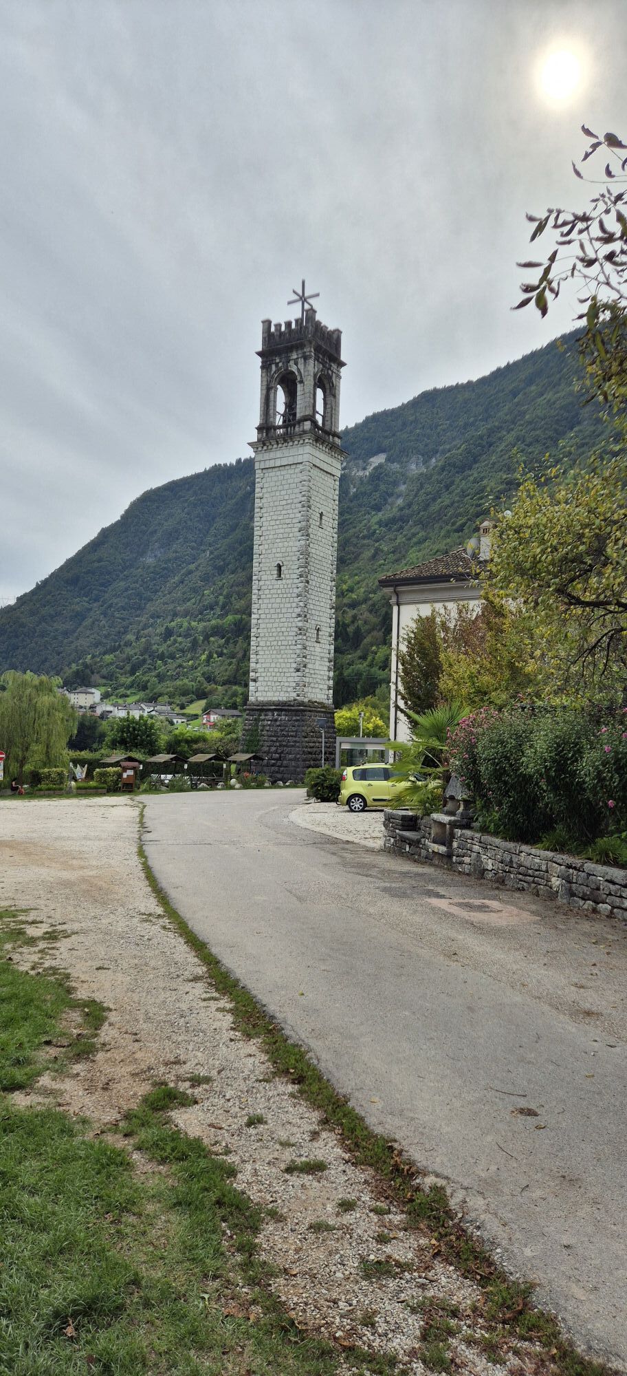
The route also leads to the ancient hamlets that are now uninhabited and to the tunnels of the old railway line between Cismon and Feltre, placing the hike in a context that combines nature and memory of the area.
The rock walls descend steeply toward the water, creating a varied and evocative environment that accompanies the entire itinerary, which can be hiked in half a day and is suitable for hikers with basic training.

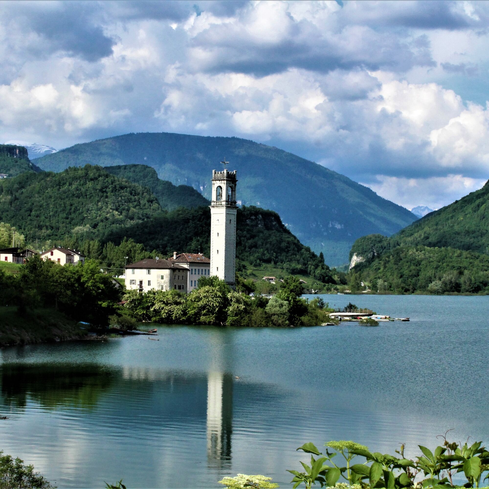
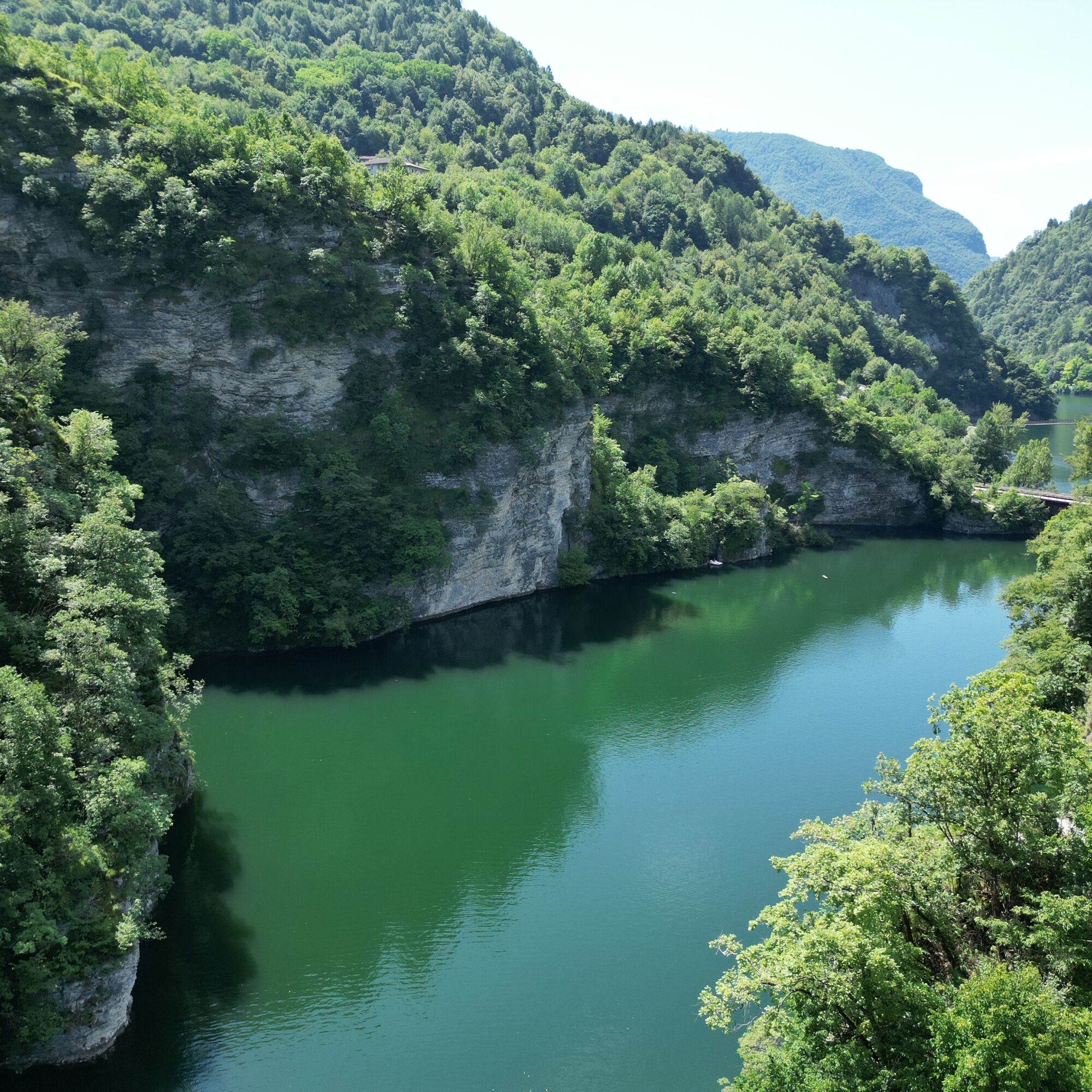

The route follows a loop around the lake, clearly identifiable along its shores and through trails and forest roads.
Hiking boots with good grip. Water, appropriate clothing and sunscreen recommended.
The trail alternates between sections on trail and dirt roads. Use caution in narrower or exposed passages and on wet ground.
Parking lot in Arsiè, near Lake Corlo (Arsiè Camping area).
T1
On hot days, stretches near the water are ideal for a break.
Popularne wycieczki w okolicy
- 4,5
Ferrata Sass Brusai
średniVia ferrata 9,26 km - 4,0
Campo Solagna - Alpe madre
światłoWędrówka 12,5 km Monte Grappa
średniMountainbike 18,5 km- 5,0
Belluna Valley Ring
średniKolarstwo długodystansowe 78,1 km Von Borso del Grappa auf den Campo Croco
światłoWędrówka 9,02 kmSentiero delle Meatte
średniWędrówka 10 km- 5,0
Rifugio Bocchette - Abisso Spaurasso - Monte Grappa - Rifugio Bassano
średniWędrówka 6,72 km Bassano - Monte Grappa (Sent. 153)
ciężkiMountainbike 60,4 km- 4,0
Valmaron Marcesina
światłoWędrówka 13,4 km Monte Grappa
średniDroga rowerowa 23,0 km
Wędrówki i tropienie


Nie przegap ofert i inspiracji na następne wakacje
Twój adres e-mail została dodana do listy mailingowej.





