


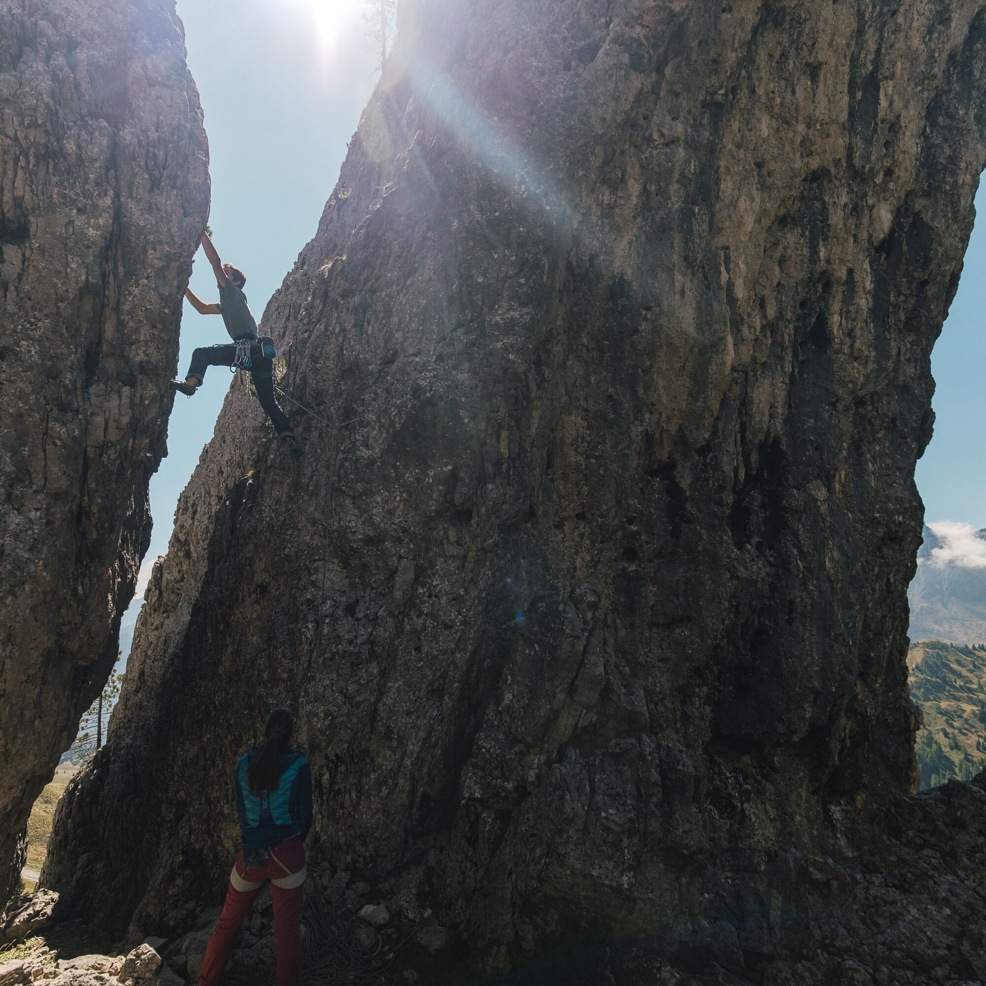
"Bec de Roces" climbing crag
The "Bec de Roces" are a group of towers at the foot of the Sella Group, in a panoramic position with breathtaking views of the valley of Arabba and that of Alta Badia, above Passo Campolongo.
In the East...
The "Bec de Roces" are a group of towers at the foot of the Sella Group, in a panoramic position with breathtaking views of the valley of Arabba and that of Alta Badia, above Passo Campolongo.
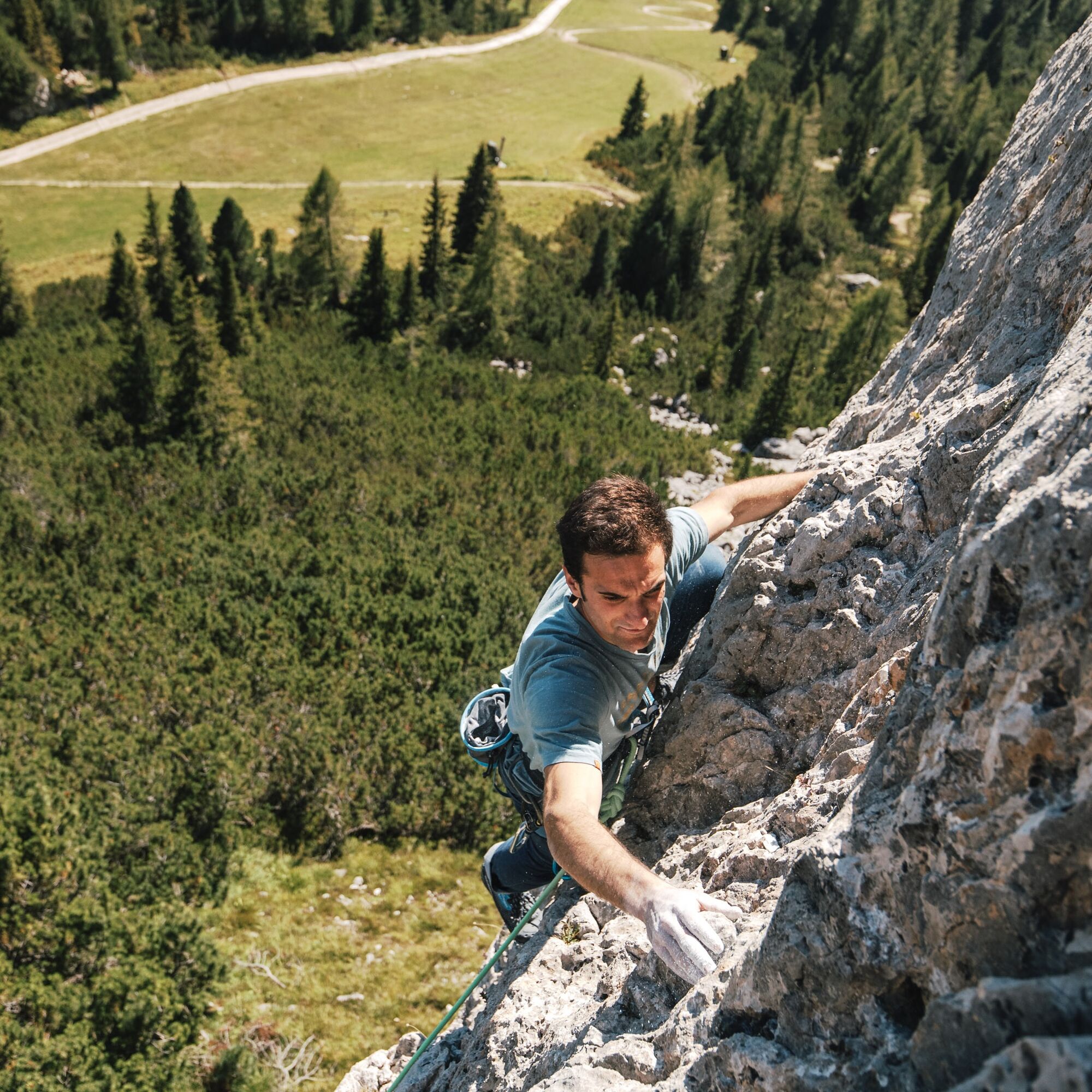
In the East area, towards Alta Badia, there are three single-pitch sectors.
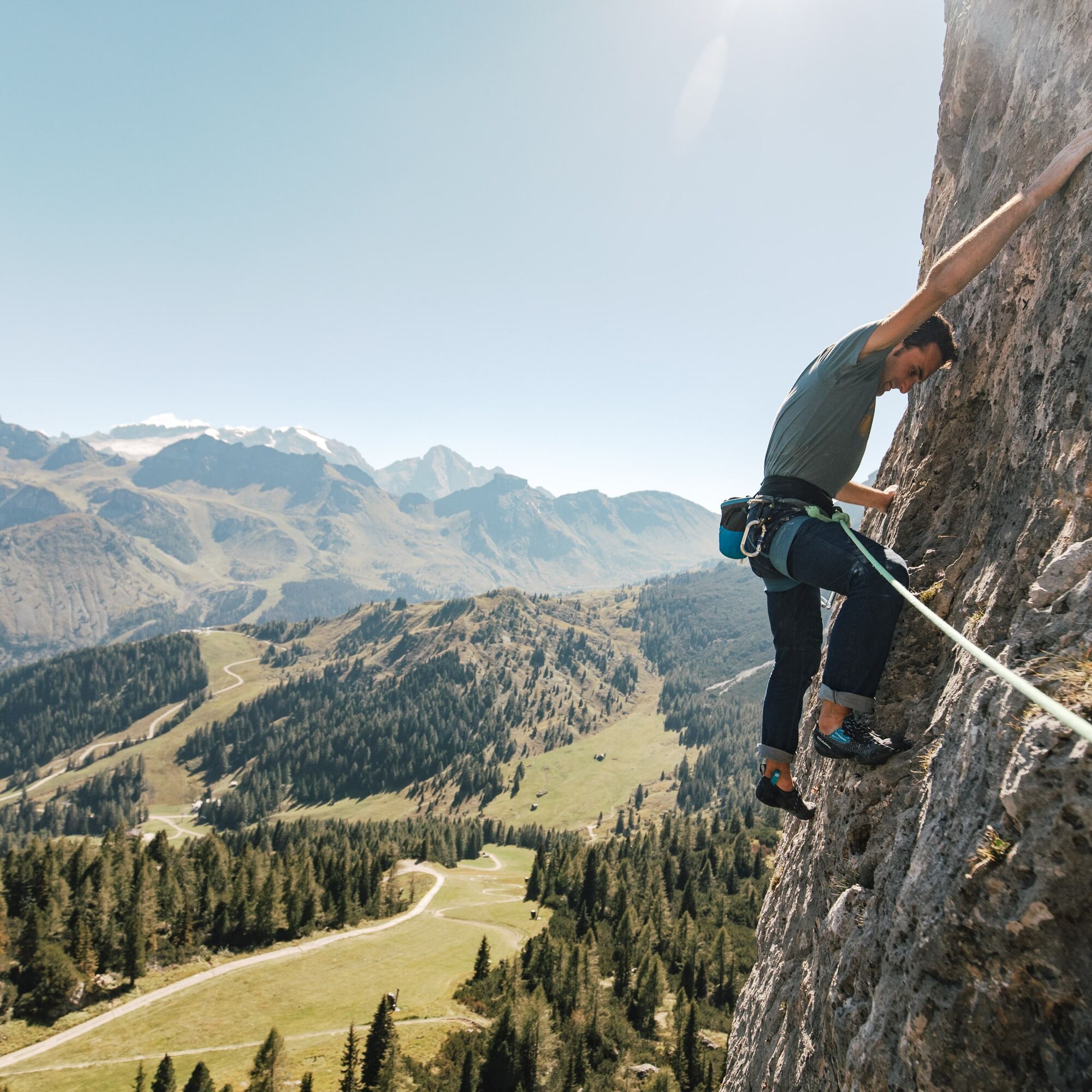
These are routes from 5b to 7a, up to 34 meters long, on slabs and vertical or slightly overhanging walls.
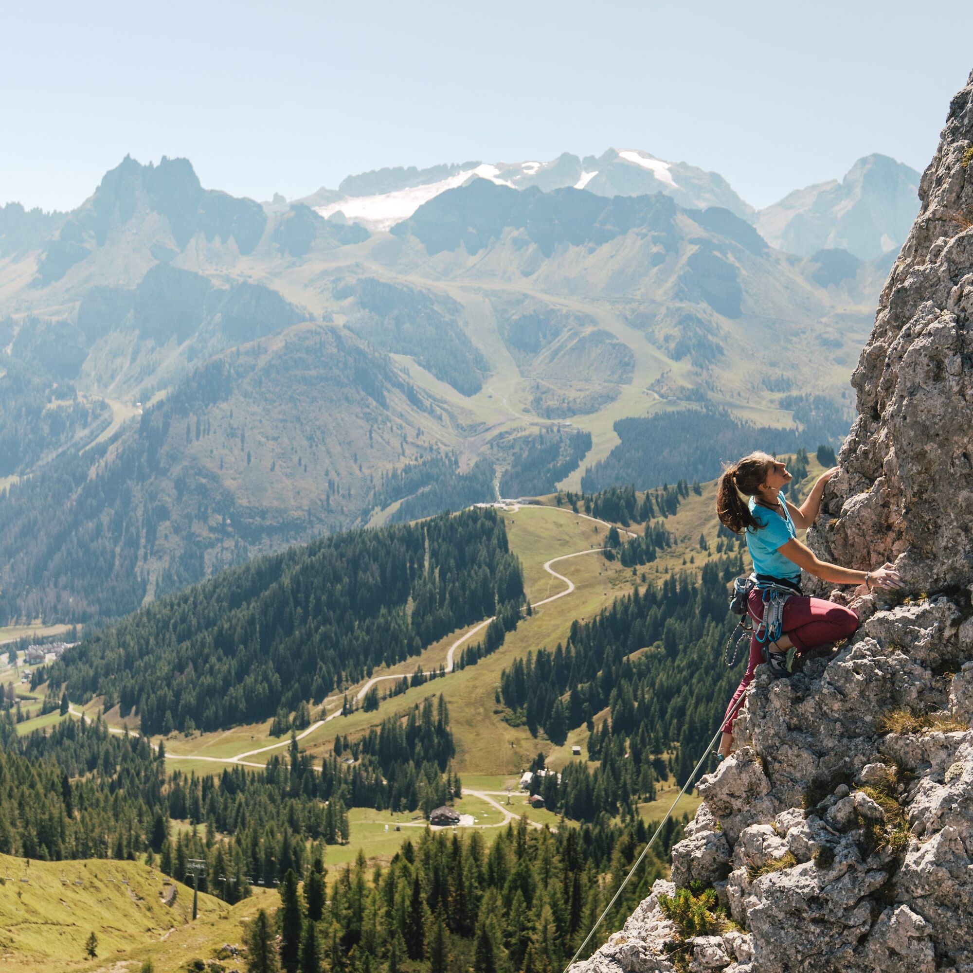
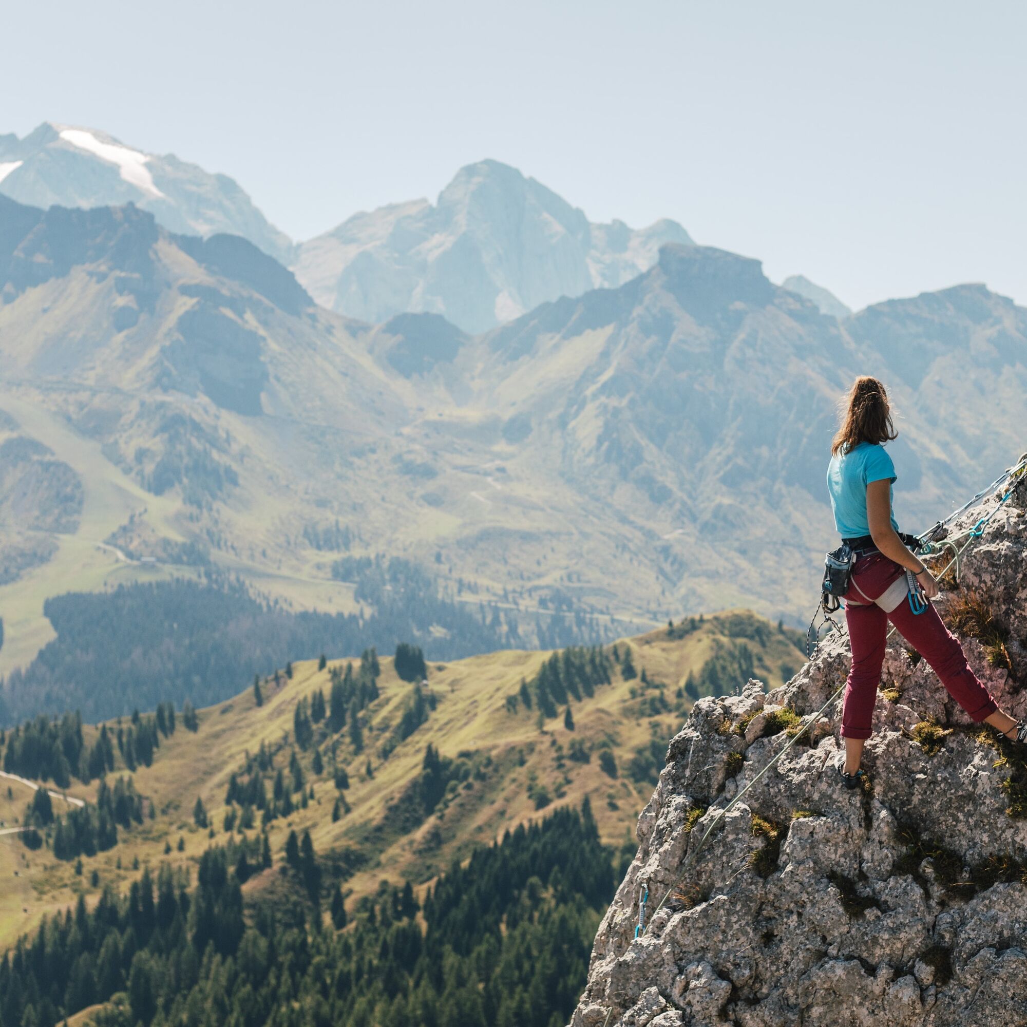
On the West side there are longer climbs (up to three rope lengths), from III to V+, of a more alpine style.

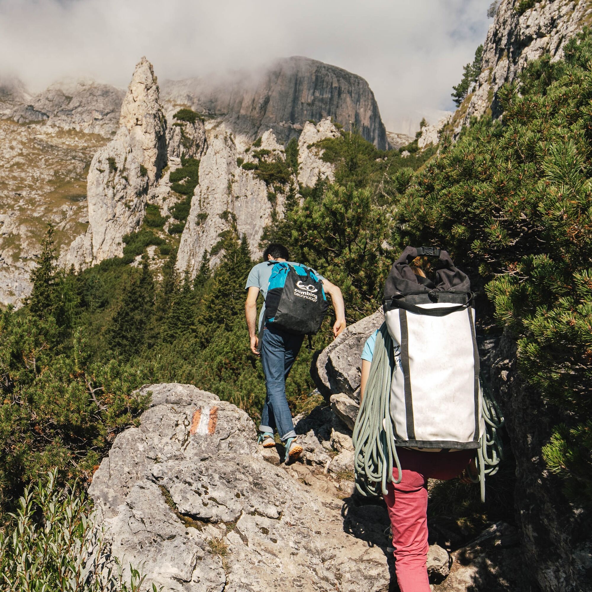

From Passo Campolongo you can comfortably take the chairlift up to the "Bec de Roces" refuge, or go on foot along the steep forest road (allow about 25 min).
EAST SIDE - from the "Bec de Roces" refuge take path 636 to the "Kostner" refuge at the "Vallon", then shortly leave it at the first signpost, where you follow a track to the right that leads to the east side of the towers (5 minutes). The routes face East, so they go into shade by late morning. A 70 m rope and 15 quickdraws are recommended.
WEST SIDE – from the "Bec de Roces" refuge follow path 636 to the "Kostner" refuge at the "Vallon", then via a track through the dwarf pines you reach the base of the towers (10 minutes).
Tak
Tak
Tak
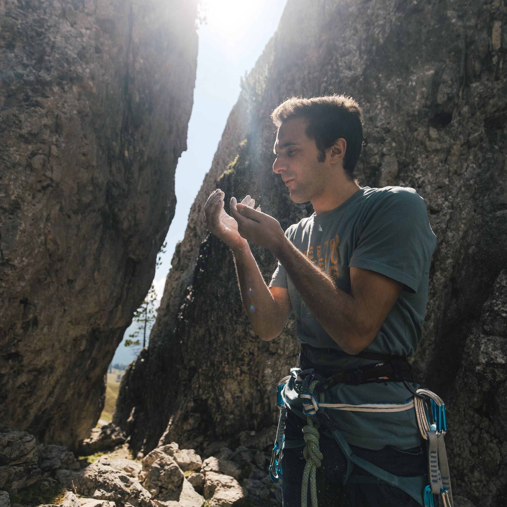
The climber's kit:
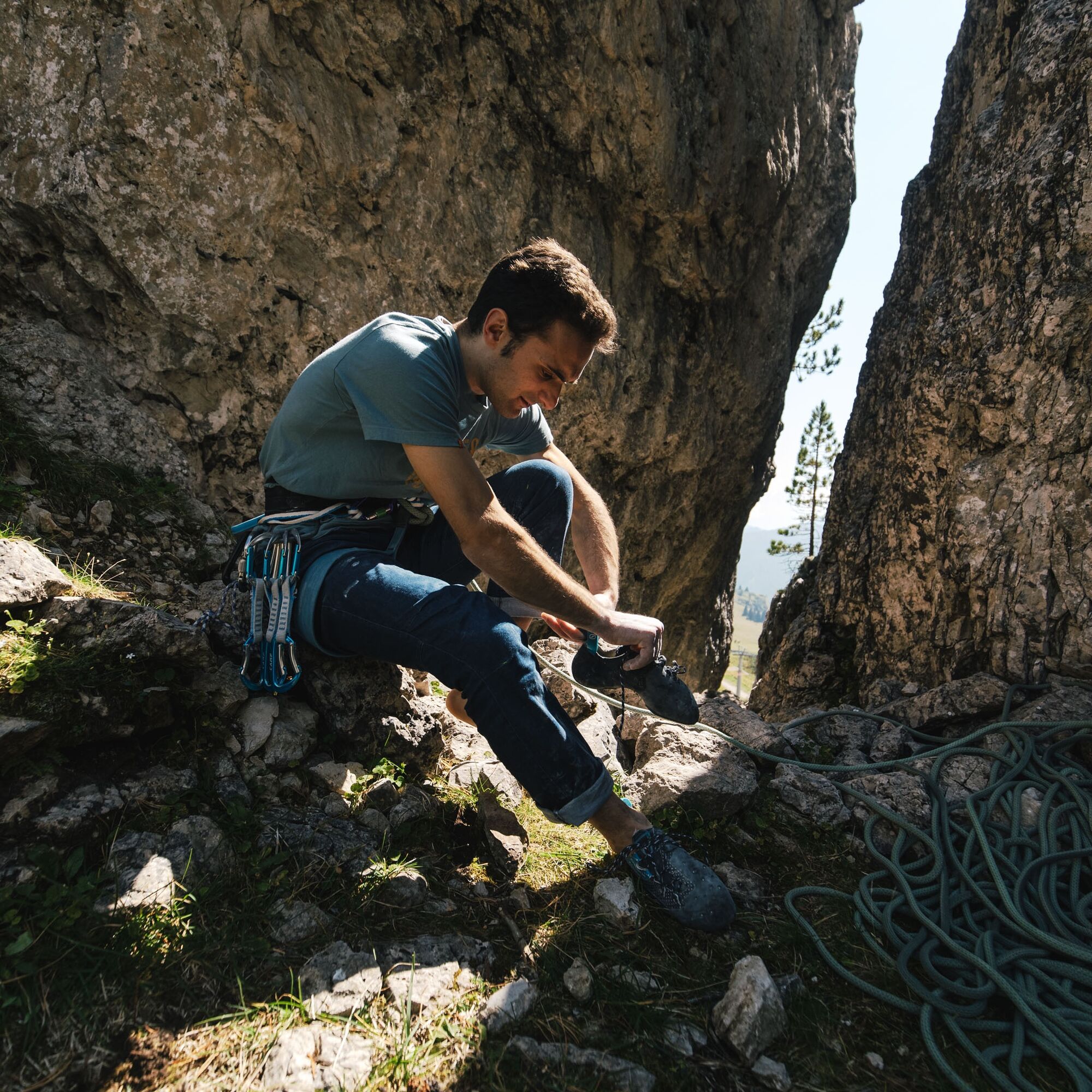
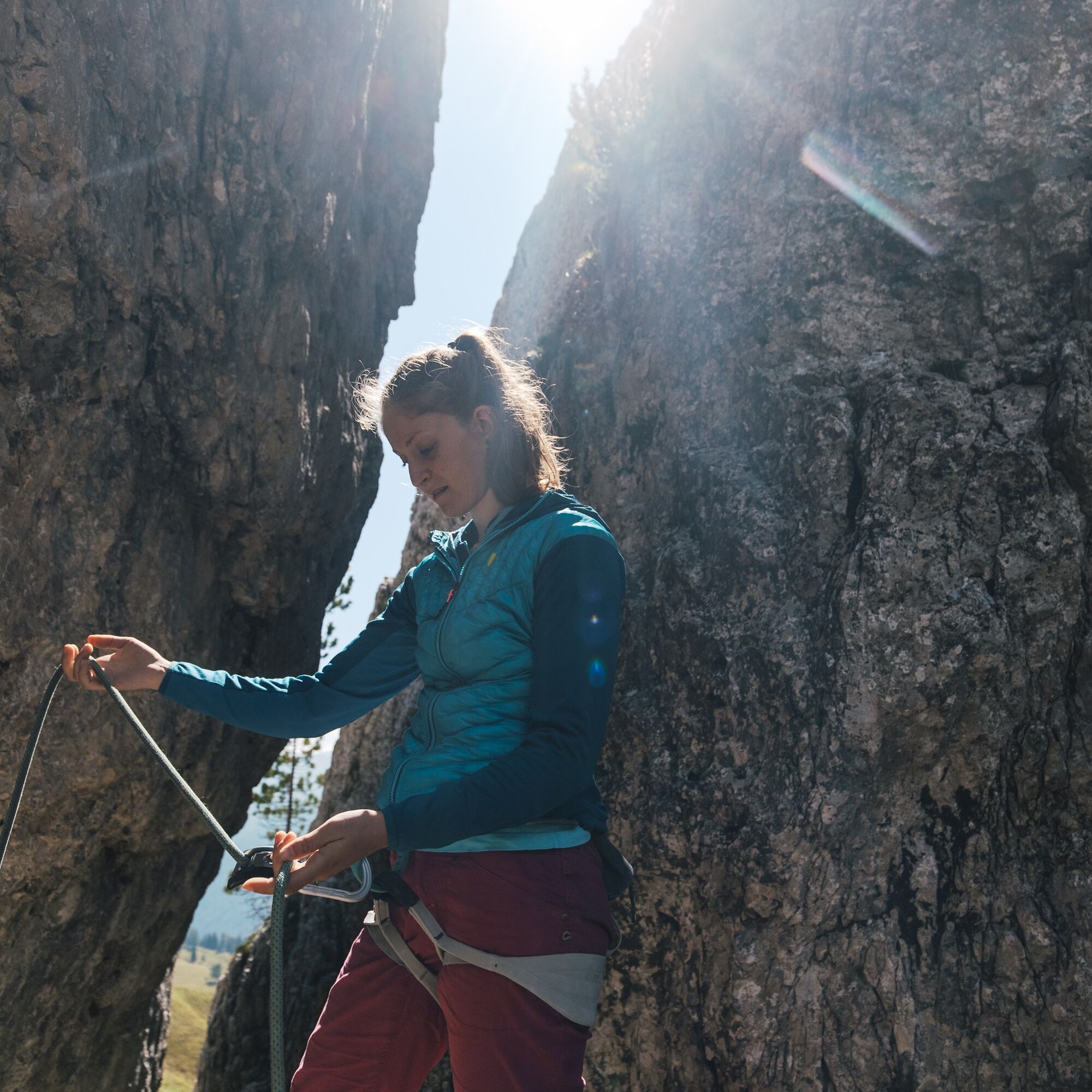
large climbing crag backpack rope bag rope tarp rope adjustable waist harness soft climbing shoes with laces and symmetrical and not too curved sole assisted-braking belay device set of quickdraws with wide slings (10/12 pieces)set of locking carabiners
set of standard carabiners
climbing/via ferrata helmet
chalk bag spare shoes (e.g. trekking shoes)WARNING: This list is for informational purposes only and does not aim to exhaustively explain the correct functioning of the various tools mentioned, so please refer to the respective usage manuals. Our advice should only be seen as part of a training and practice process to be undertaken with qualified instructors to master these belaying techniques. This list is not exhaustive, nor does it replace specific training on sport climbing belay techniques, for which it is necessary to check your skills with qualified instructors.
Given the characteristics of the rock and the fact that the routes are not yet frequented and cleaned by passages, be careful of some unstable holds.
If you want to approach this practice for the first time, it is recommended to turn to experienced Alpine Guides.
Always let someone know where you are going and the approximate duration of the excursion and avoid going alone.
The emergency phone number is 112 or 118 (ambulance).
By car
From Innsbruck Brenner Motorway A22 to the Bressanone exit, continue through Val Pusteria, Val Badia and Passo Campolongo. From Verona/Milan Brenner Motorway A22 to Egna Ora castle, continue through Val di Fiemme, Val di Fassa, Passo Pordoi, Arabba and Passo Campolongo. From Venice Motorway A27 Belluno exit follow the Agordina 203 to Agordo, Caprile, Arabba and Passo Campolongo.By train
Nearest train stations:
Belluno - 70 km Brunico - 48 km Ponte Gardena - 51 kmBy bus
Brunico - 47 km connection via SAD line www.sad.it Belluno – 70 km connection via Dolomitibus line www.dolomitibus.itBy plane
Venice Treviso/Venice Marco Polo – 160/170 km Innsbruck - 140 km Verona – 270 km Milan Bergamo/Milan Malpensa - 310/400 kmPasso Campolongo, starting and ending point of the excursion, is connected to other tourist centers of the Province of Belluno and Trentino - South Tyrol by suburban lines.
More information, schedules, and activation dates of the service at www.sad.it.
At the top of Passo Campolongo there is parking available near the start of the ski lifts.
Alpine guides:
- Francesco Tremolada https://www.proguide.it/
- Filippo Beccari https://www.arabba.it/it/arabba/filippo-beccari-guida-alpina/20-72173.html
Before leaving we recommend checking the weather conditions, which change rapidly in the mountains, and the trail conditions.
On these routes it is necessary to partially add protection and to descend using double rope rappels.
The routes face South. Anchors are bolts; bolts along the pitches.
Bring runners, nuts, and friends.
All the routes have their name at the base.
Kamery internetowe z trasy
Colfosco
Arabba - Bec de Roces
Arabba - Porta Vescovo
Piz Arlara
Boé
Boé
Mezdi Bergstation
Mezdi Bergstation
Colfosco - Corvara in Badia / Hotel Luianta
Rifugio Burz
Rifugio Burz
Pista Fodoma
Rifugio Burz
Rifugio Burz
Rifugio Burz
Pista Fodoma
Passo Padon
Passo Padon
Sass Pordoi
Corvara - Ciasa Morin
Janin
Janin
Janin
Janin
Popularne wycieczki w okolicy
- 4,7
The Munkelweg trail beneath the Geisler peaks
średniWędrówka 9,11 km - 4,6
Pordoi Pass - Sass Pordoi - Forcella Pordoi - Piz Boè - Boè Refuge - Forcella Pordoi - Pordoi Pass
ciężkiWędrówka 8,39 km - 4,9
Lang- und Plattkofel Umrundung
średniWędrówka 17,5 km - 4,8
Langkofel-Umrundung
średniWędrówka 12,9 km - 5,0
Langkofel Klettersteig/Ferrata Furcela de Saslonch
ciężkiVia ferrata 7,07 km - 4,7
Passo Giau roundtrip
średniWędrówka 8,10 km - 5,0
Um den Langkofel
średniWędrówka 9,76 km - 3,8
Der Friedrich-August-Weg
średniWędrówka 10,4 km - 4,6
Five Towers circuit (Averau, Nuvolau and Scoiattoli huts) from Passo Giau
średniWędrówka 10,8 km - 4,4
Dolomiten Sellagruppe, Alb. Col di Lana, Sas de Pordoi, Piz Boé retour 22.06.2016
średniWędrówka 5 km
Wędrówki i tropienie


Nie przegap ofert i inspiracji na następne wakacje
Twój adres e-mail została dodana do listy mailingowej.