


AVDB - Stage 2: Rif. Pramperet - Rif. Bianchet
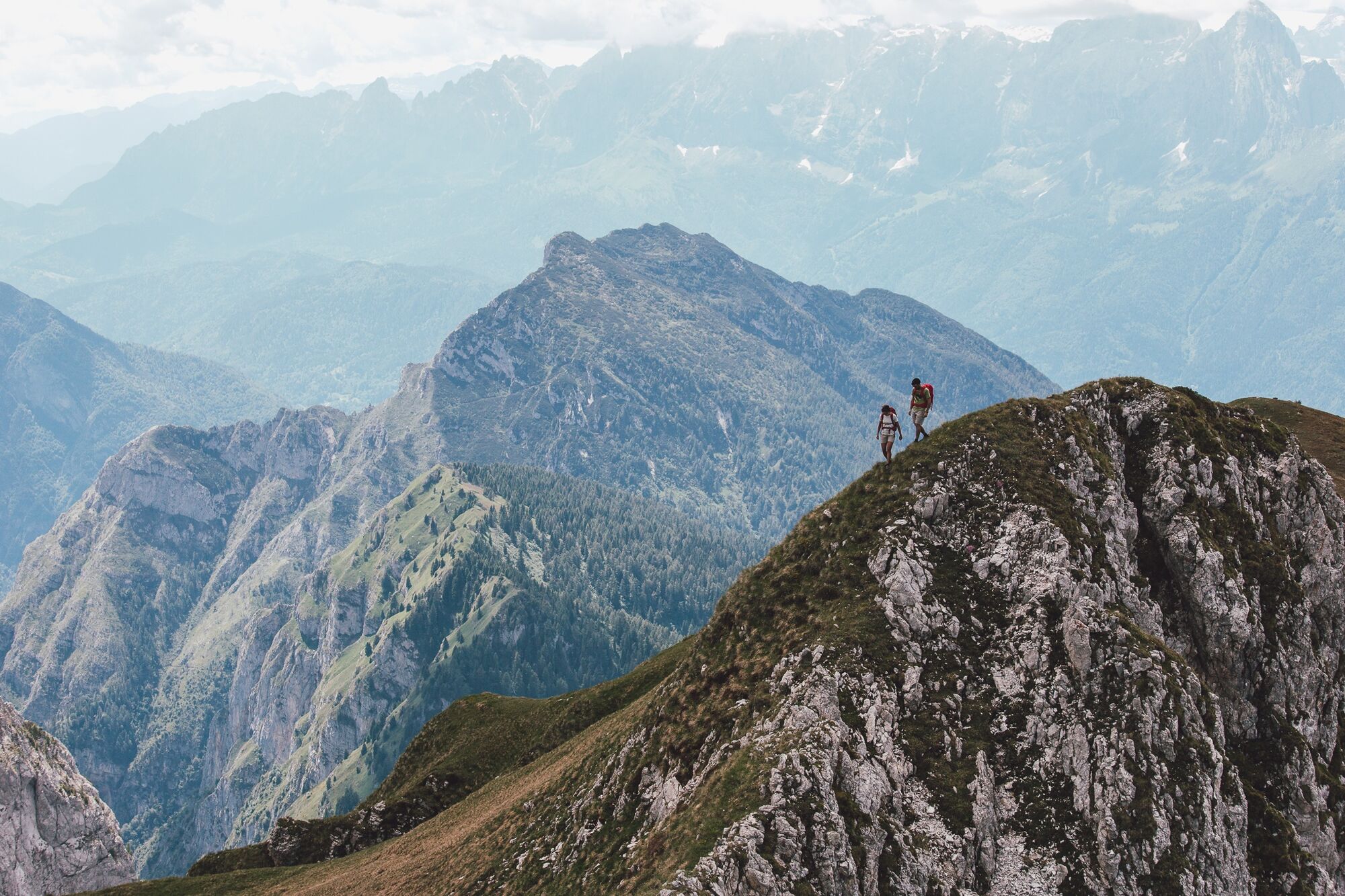
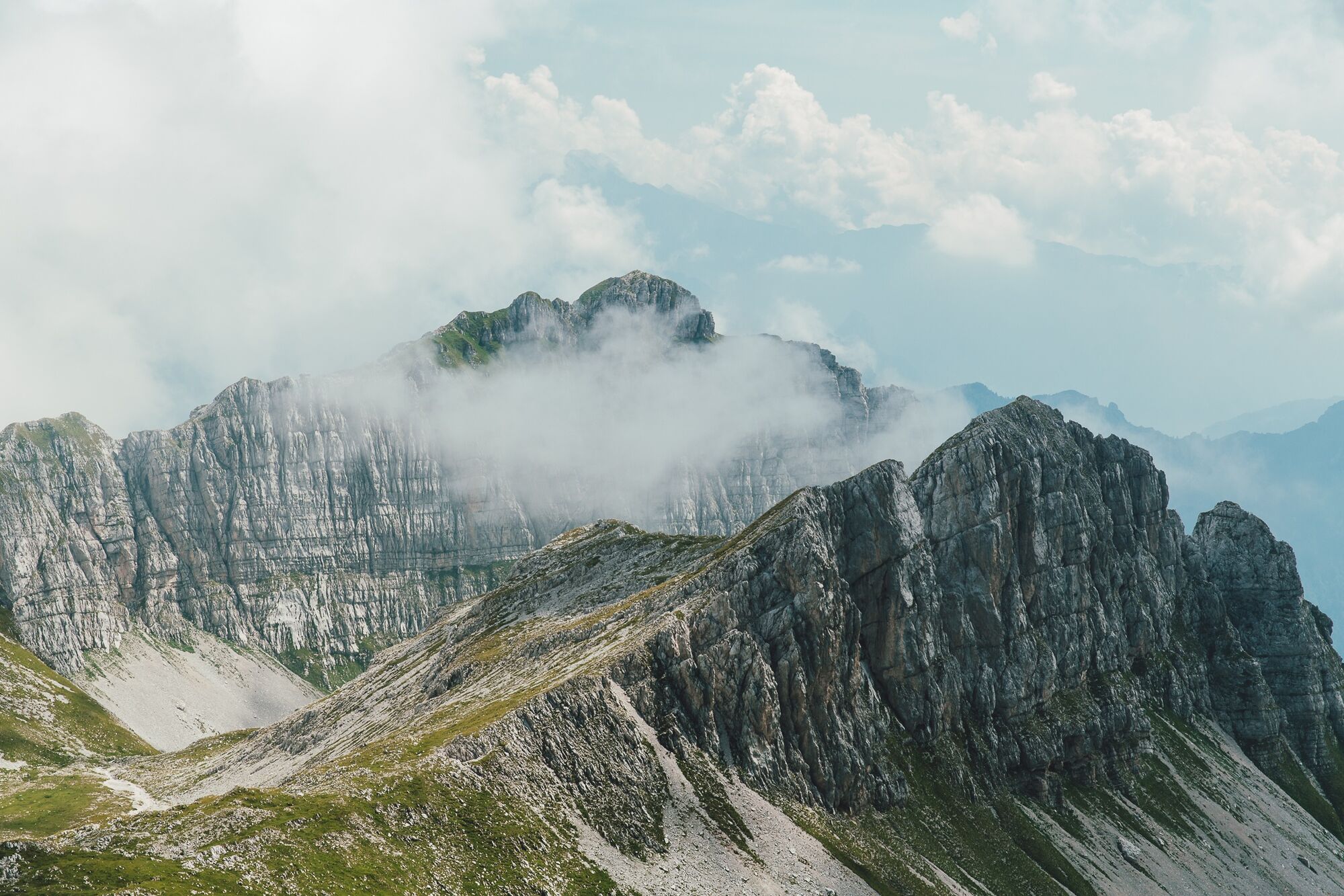
A wild and solitary stage among the large suspended valleys of the Van de Zitá, where chamois are more commonly spotted than people. You cross scree slopes, high passes, and alpine meadows, enjoying vast...
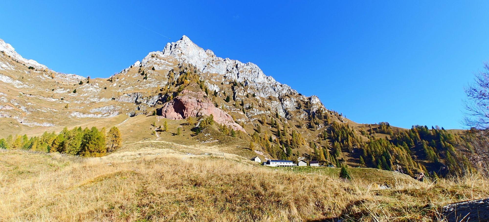
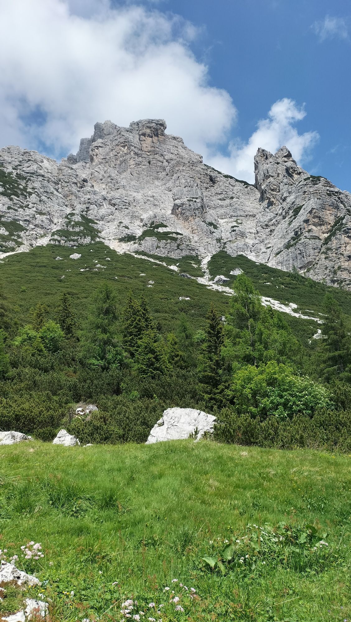
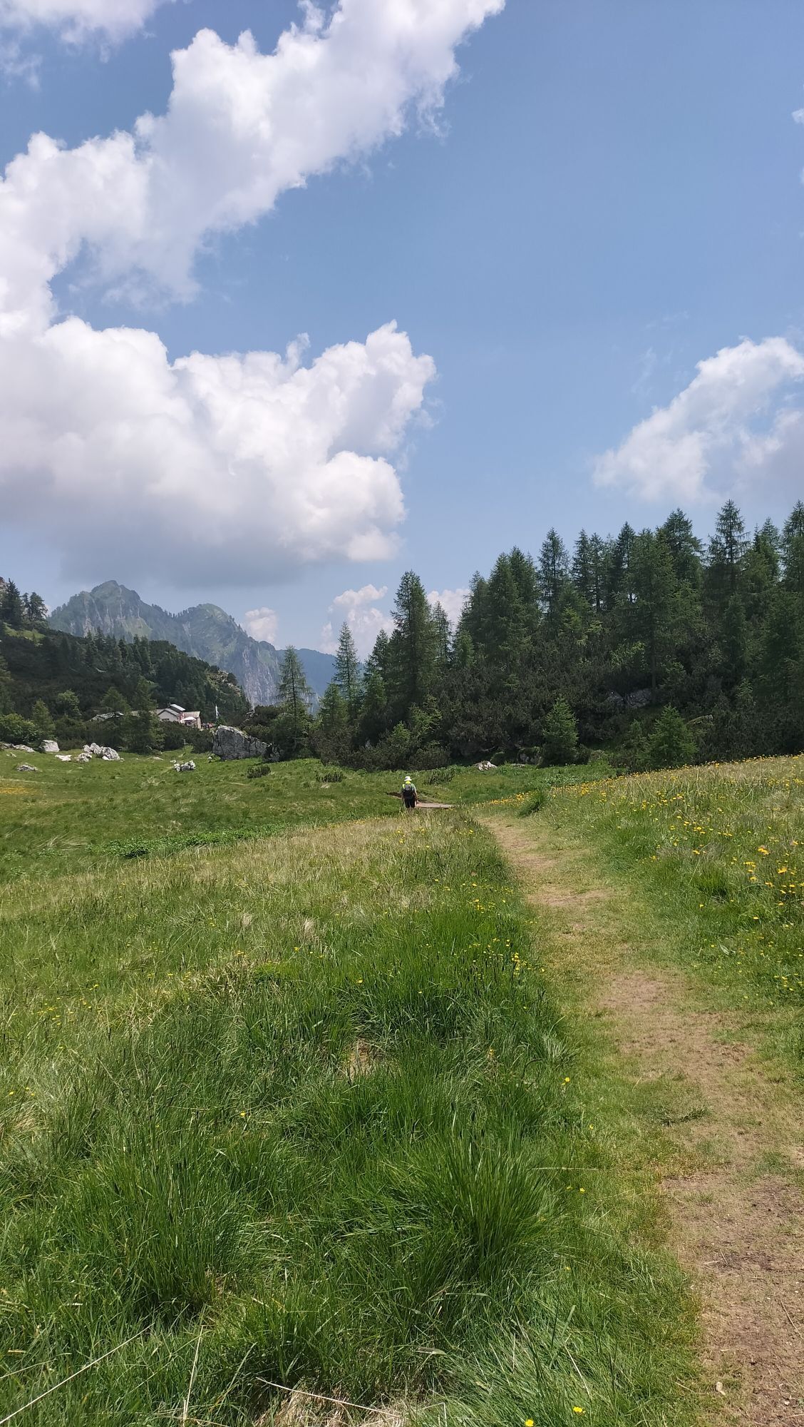
A wild and solitary stage among the large suspended valleys of the Van de Zitá, where chamois are more commonly spotted than people. You cross scree slopes, high passes, and alpine meadows, enjoying vast panoramas and sharp peaks. After stopping at Rifugio Pian de Fontana, continue south to Val Vescovà, crossing spectacular blooms, with the Schiara and Gusela dominating the landscape.

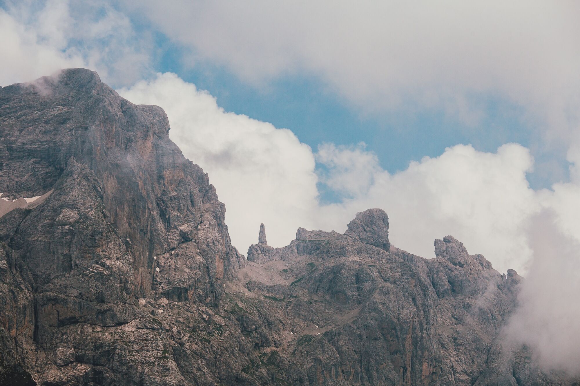
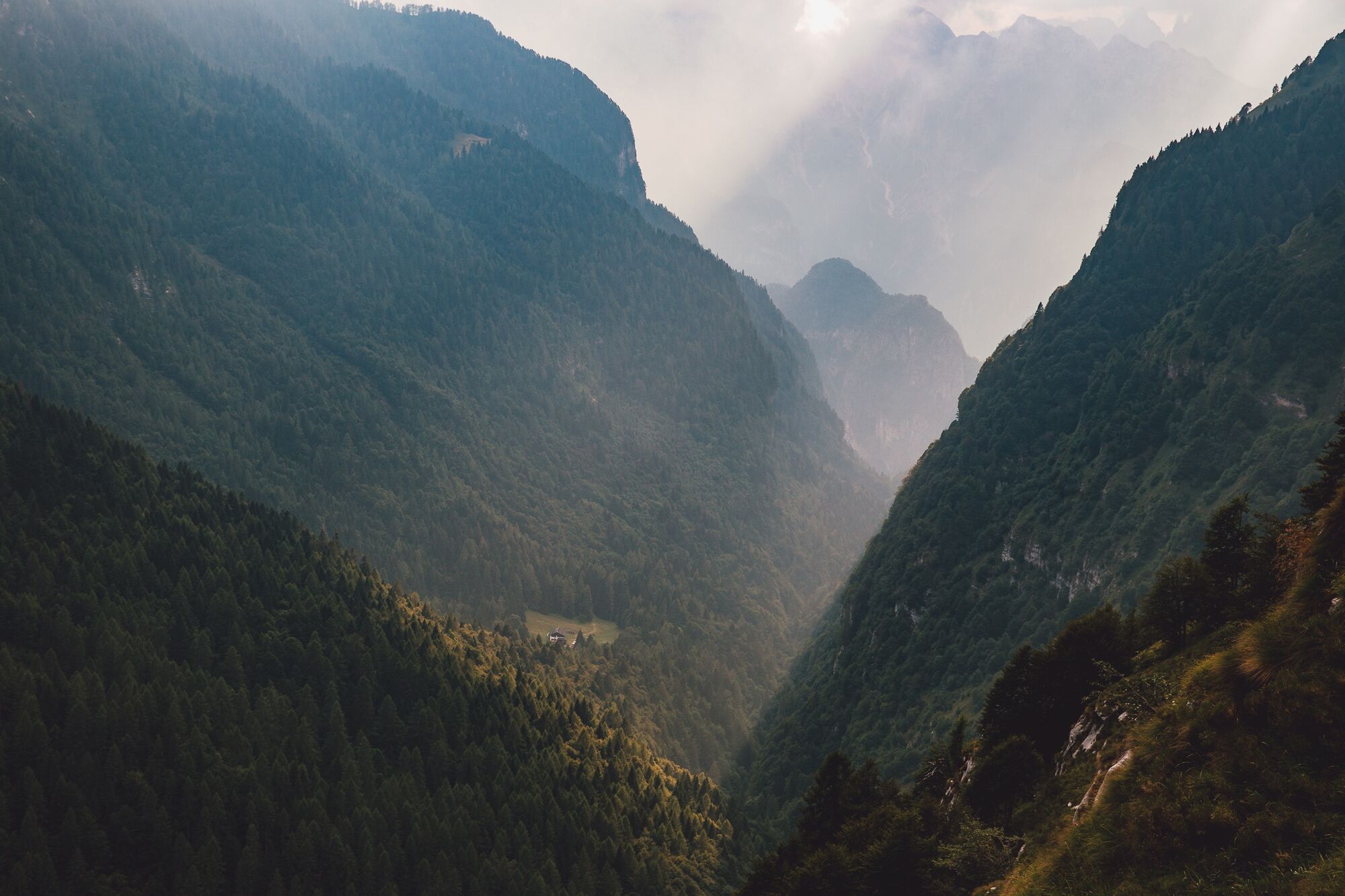
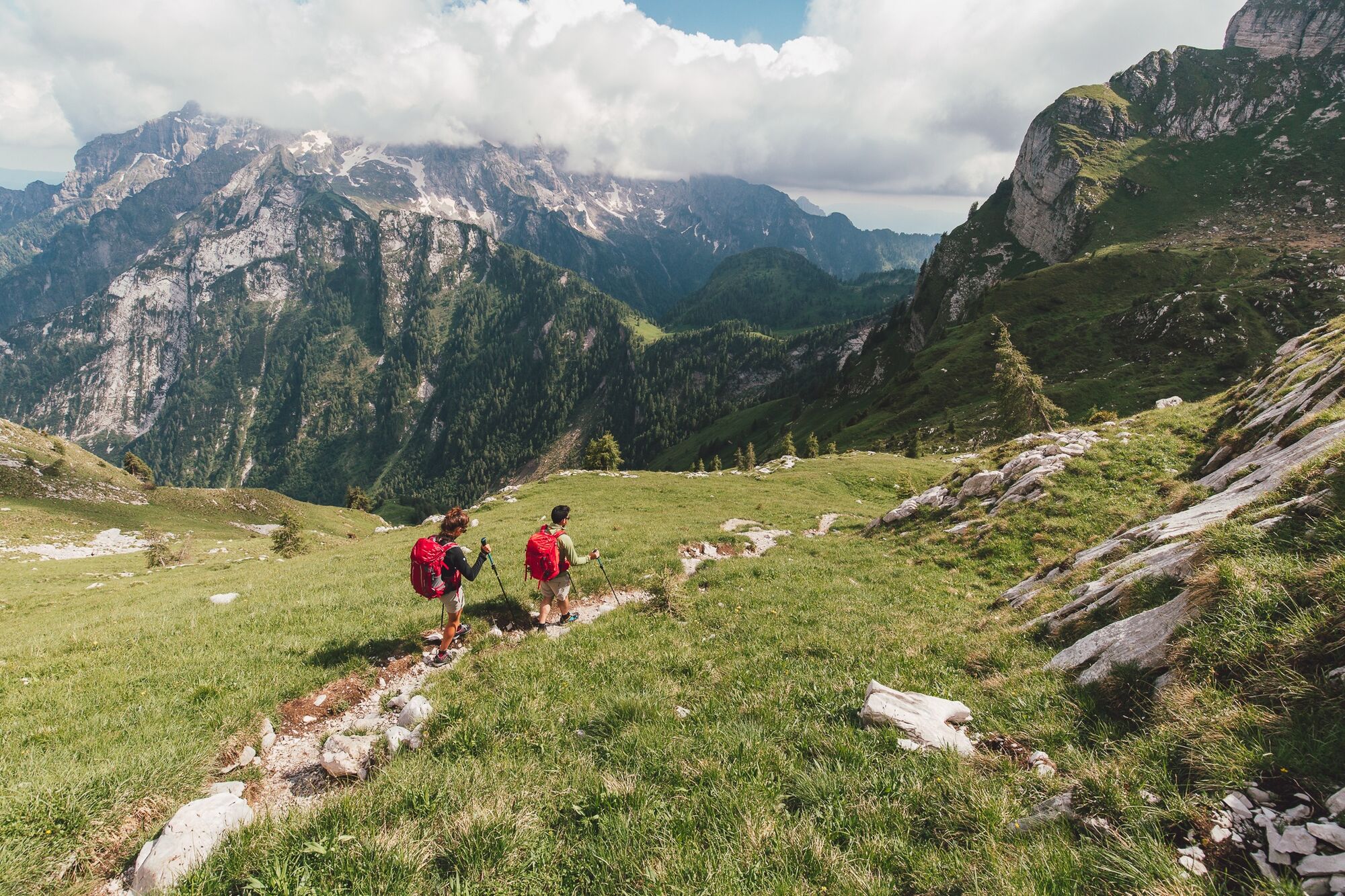
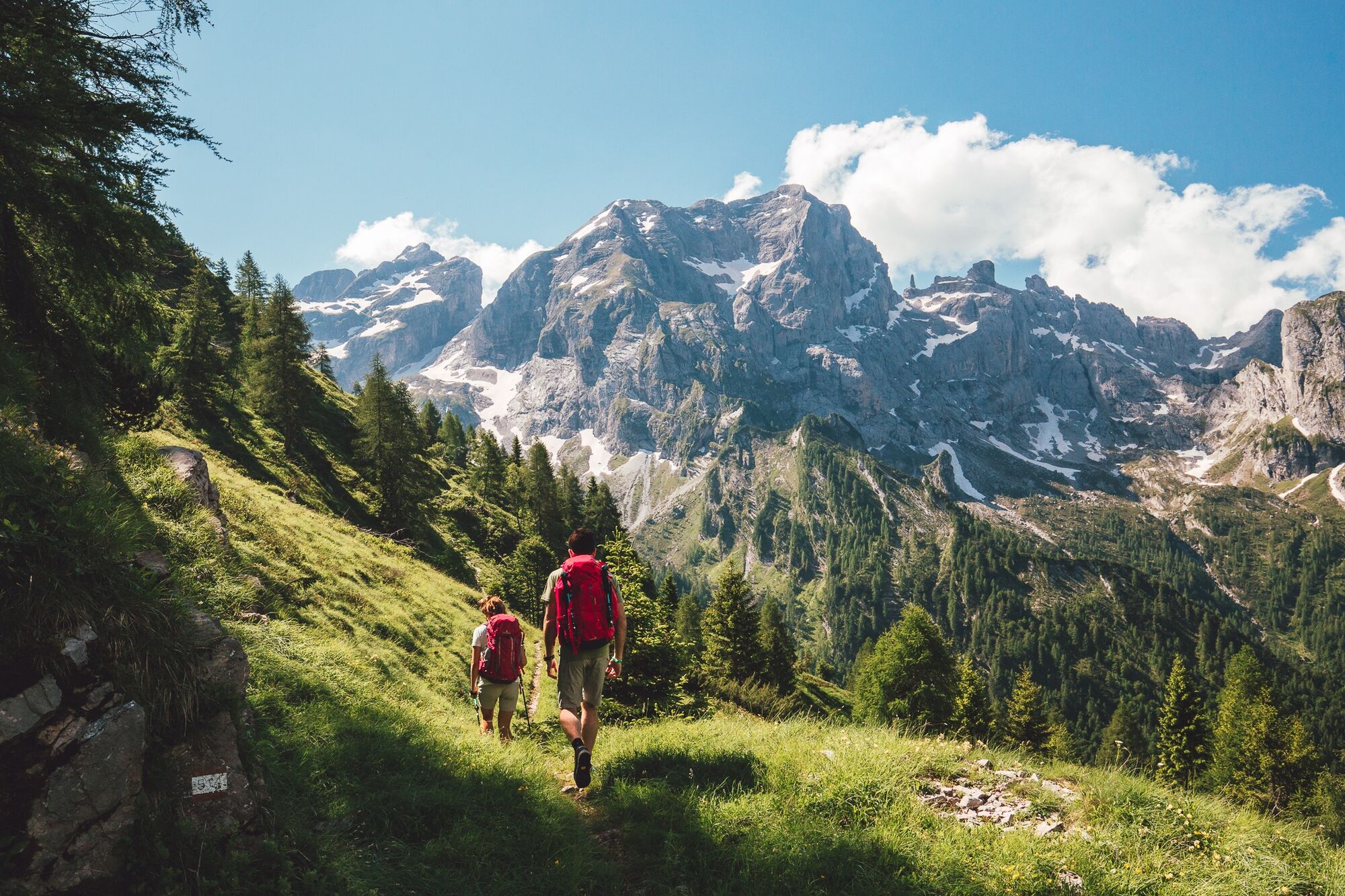
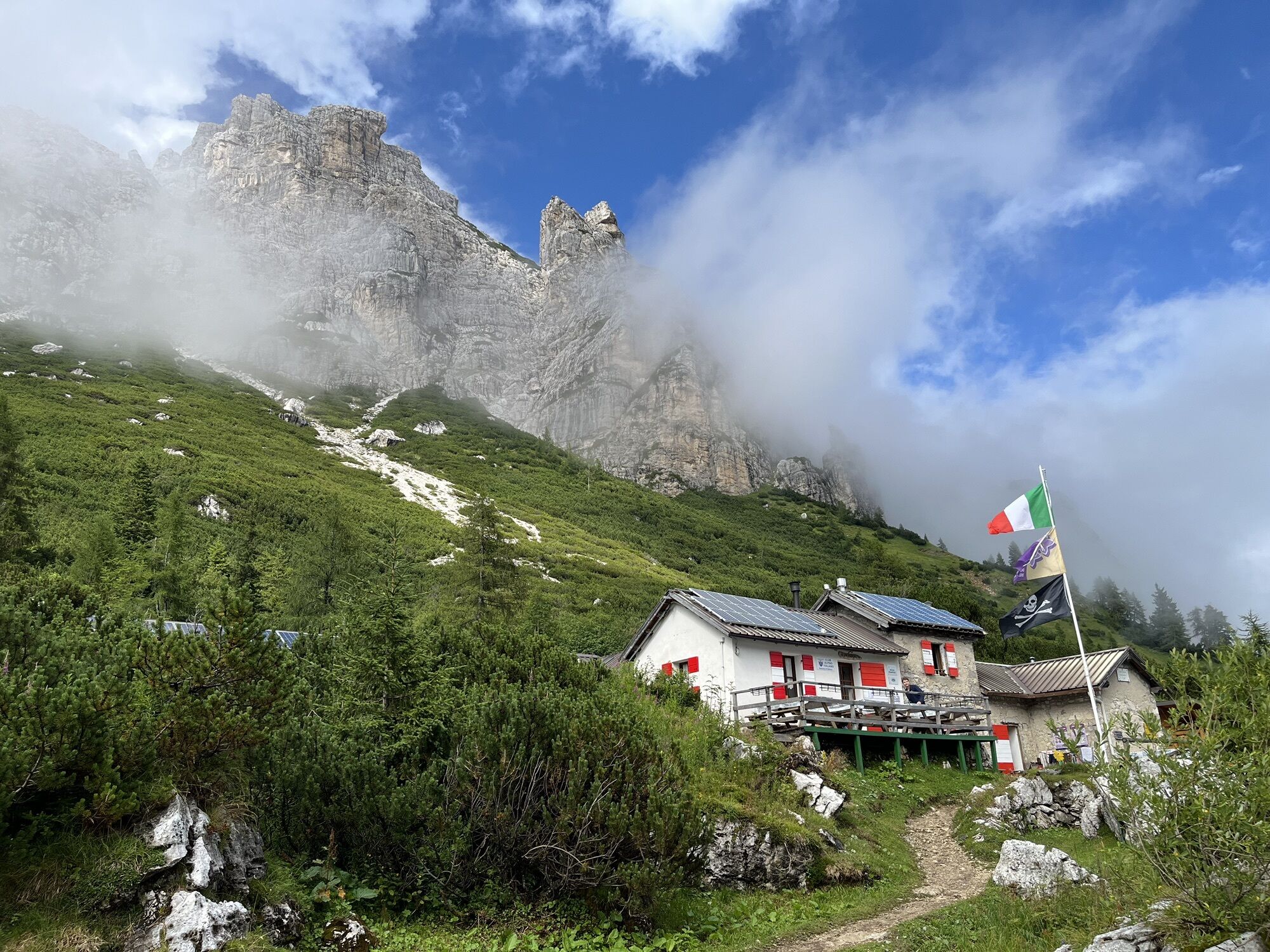
From Rifugio Pramperét (1857 m) follow CAI 514 to Portela del Piazedel (2097 m), continuing into the Van de Zitá. Pass the Forcella Zitá Nord (2410 m) and the Forcella Zitá Sud (2395 m), the highest point of the Alta Via. Descend along the same path 514 to Rifugio Pian de Fontana (1632 m). Continue descending into Val de i Ross and ascend to Forcella La Varetta (1704 m). Shortly after, at the fork, take the right path 518 which descends through the forest to Rifugio Bianchet (approx. 1250 m). Possible variant to Casera La Varetta and Casera Vescovà via path 536.
Facing the Alta Via requires equipment suitable for high mountain. Essential items include trekking boots, telescopic poles, technical layered clothing, rain shell, gloves, and a hat even in summer.
Carry a sleeping bag liner (mandatory in refuges), a first aid kit, sunglasses, sunscreen, power bank, headlamp with spare batteries, and a good map, supplemented by offline GPS apps.
Finally, a repellent spray and tweezers for ticks, increasingly present at altitude, are recommended.
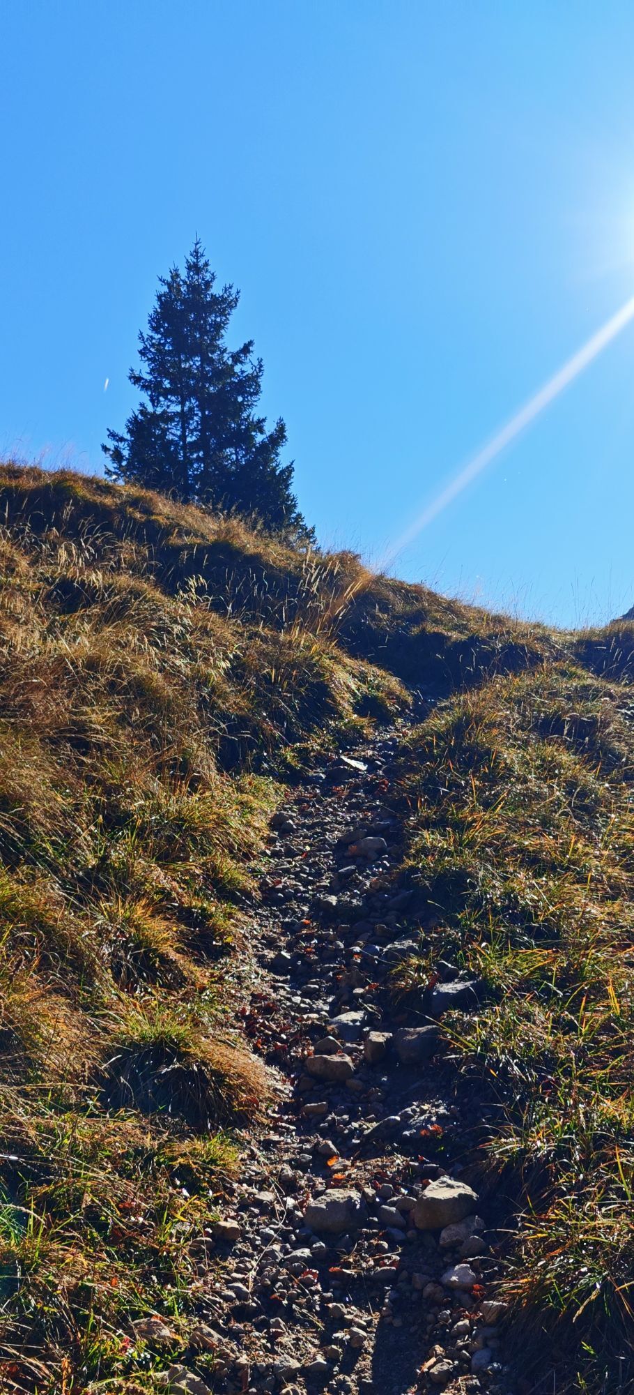
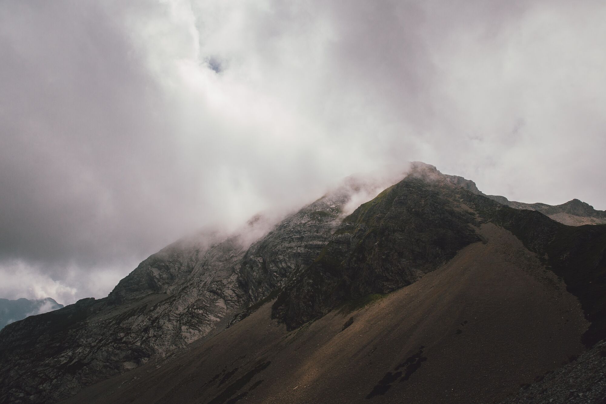
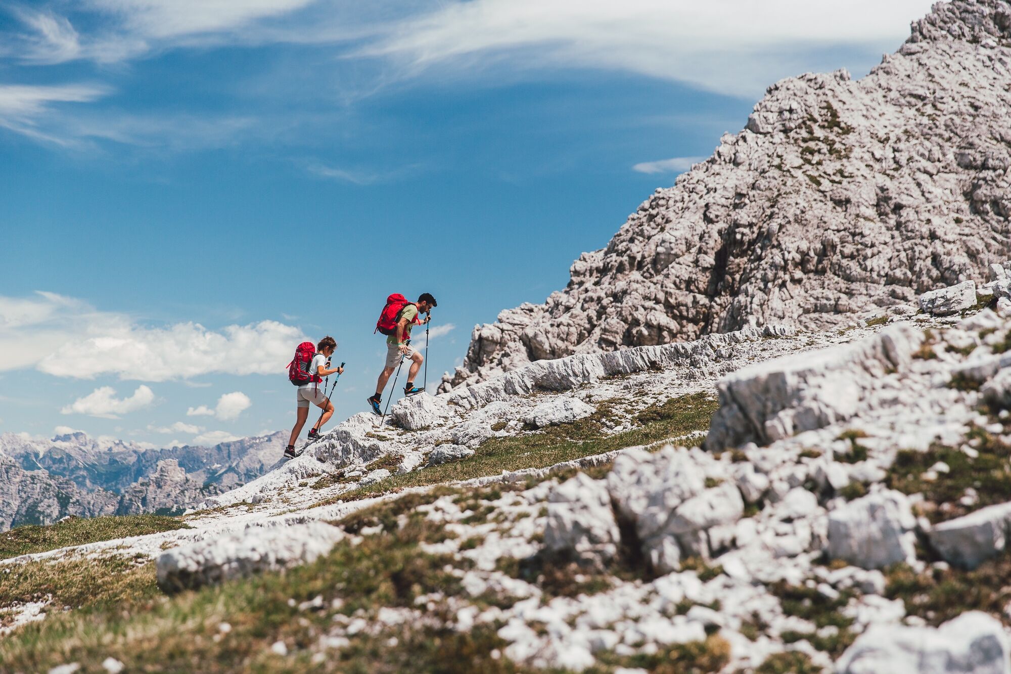
The Alta Via Dolomiti Bellunesi is a challenging trek, suitable only for experienced and well-trained hikers. The route includes exposed sections, technical passages and requires surefootedness, no fear of heights, and orientation skills, especially in the most isolated parts.
Signage (a violet bellflower) is present at key points but not always continuous: it is essential to be able to navigate using a map and GPS. There are two equipped sections with fixed ropes (stage 2 and stage 5), the latter not recommended for those who suffer from vertigo.
Wild camping is not permitted: any tent use is regulated and allowed only with authorization at some refuges. It is advised to contact accommodation facilities in advance to check availability and book.
The recommended period to hike the Alta Via is from May to September, avoiding days with snow risk or following heavy rain. Given the exposure and route length, it is important to travel light but well equipped.
Follow the “rule of 3 changes”: one to wear, one clean in the backpack, one drying. Along the route, there are refuges and bivouacs, but it is essential to organize in advance, especially during the busiest periods.
For updated information on stages and GPS tracks, consult the official Alta Via Dolomiti Bellunesi website, which also provides an email for direct contacts.
Popularne wycieczki w okolicy
- 5,0
Zacchi-Berti-Marmol Schiara (B/C)
Via ferrata 16 km - 5,0
Via ferrata della memoria
ciężkiWędrówka 9,52 km 17 Alta via delle Dolomiti Bellunesi
ciężkiWycieczka wysokogórska 100 kmVal Pramper
światłoWędrówka 14,2 kmSant Antonio Tour
średniWędrówka 4,71 kmLASTE DI SAN DANIELE
ciężkiWędrówka 4,97 kmAVDB - Stage 1: Forno di Zoldo - Rif. Pramperet
średniWycieczka wysokogórska 9,38 kmAVDB - Stage 4: Miniere Val Imperina - Malga Erera
ciężkiWycieczka wysokogórska 18,5 kmAVDB - Stage 3: Rif. Bianchet - Miniere Val Imperina
ciężkiWycieczka wysokogórska 19,9 kmMonte Borgà from Rifugio Cava Buscada
średniWędrówka 3,84 km
Wędrówki i tropienie


Nie przegap ofert i inspiracji na następne wakacje
Twój adres e-mail została dodana do listy mailingowej.