Nawigacja
Pobierz tę trasę na swój telefon komórkowy
Mapa
Bicycle Bus/FahrradBUS Tour: Over Bohemian Rocky Peaks to the Elbe River
średni
Jazda na rowerze
67,34 km
Zeskanuj kod QR i rozpocznij nawigację w aplikacji bergfex.
QR Code
Wędrówki i tropienie

Bicycle Bus/FahrradBUS Tour: Over Bohemian Rocky Peaks to the Elbe River

Odległość
67,3 km
Czas trwania
04:45 h
Ascent
405 hm
Poziom morza
110 - 716 m
Ścieżka do pobrania
Mapa
Bicycle Bus/FahrradBUS Tour: Over Bohemian Rocky Peaks to the Elbe River
średni
Jazda na rowerze
67,34 km

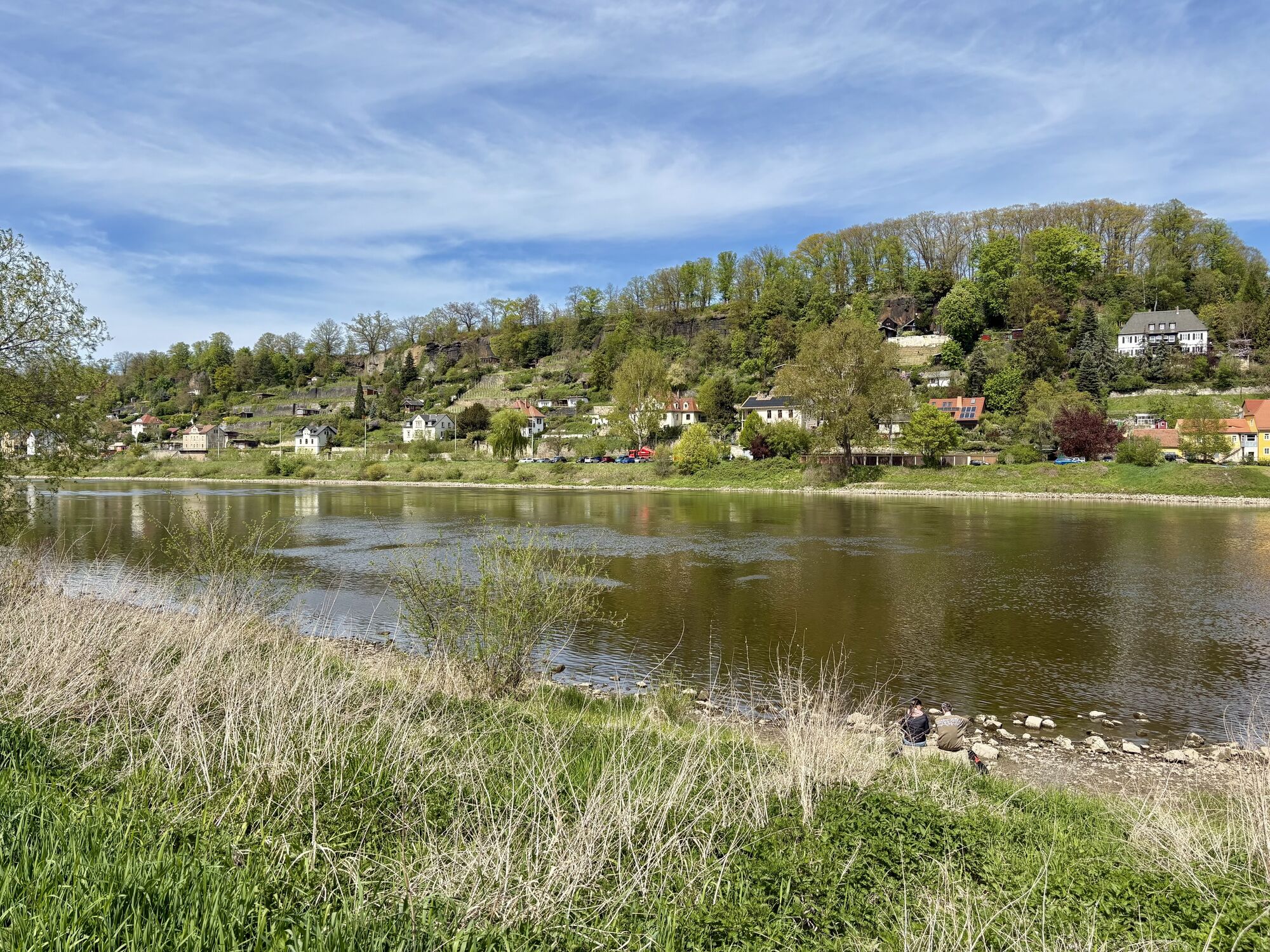
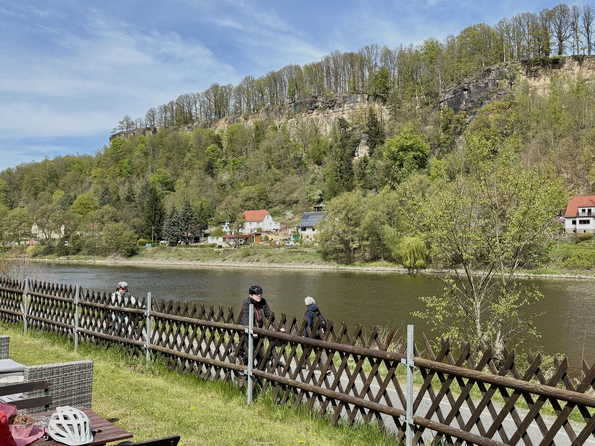
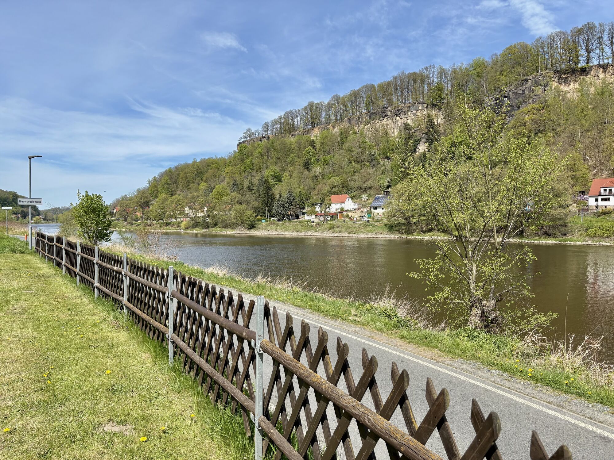
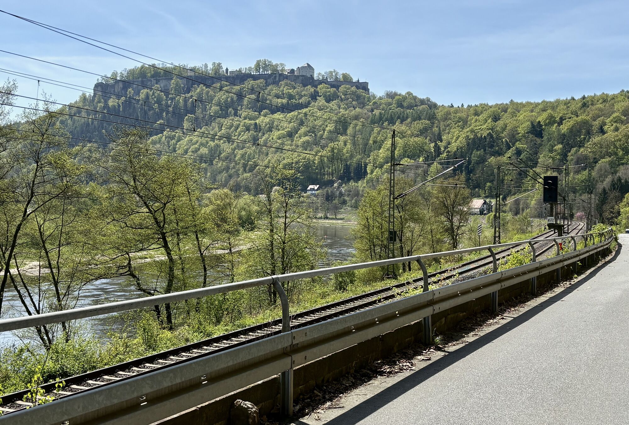
Zdjęcia naszych użytkowników

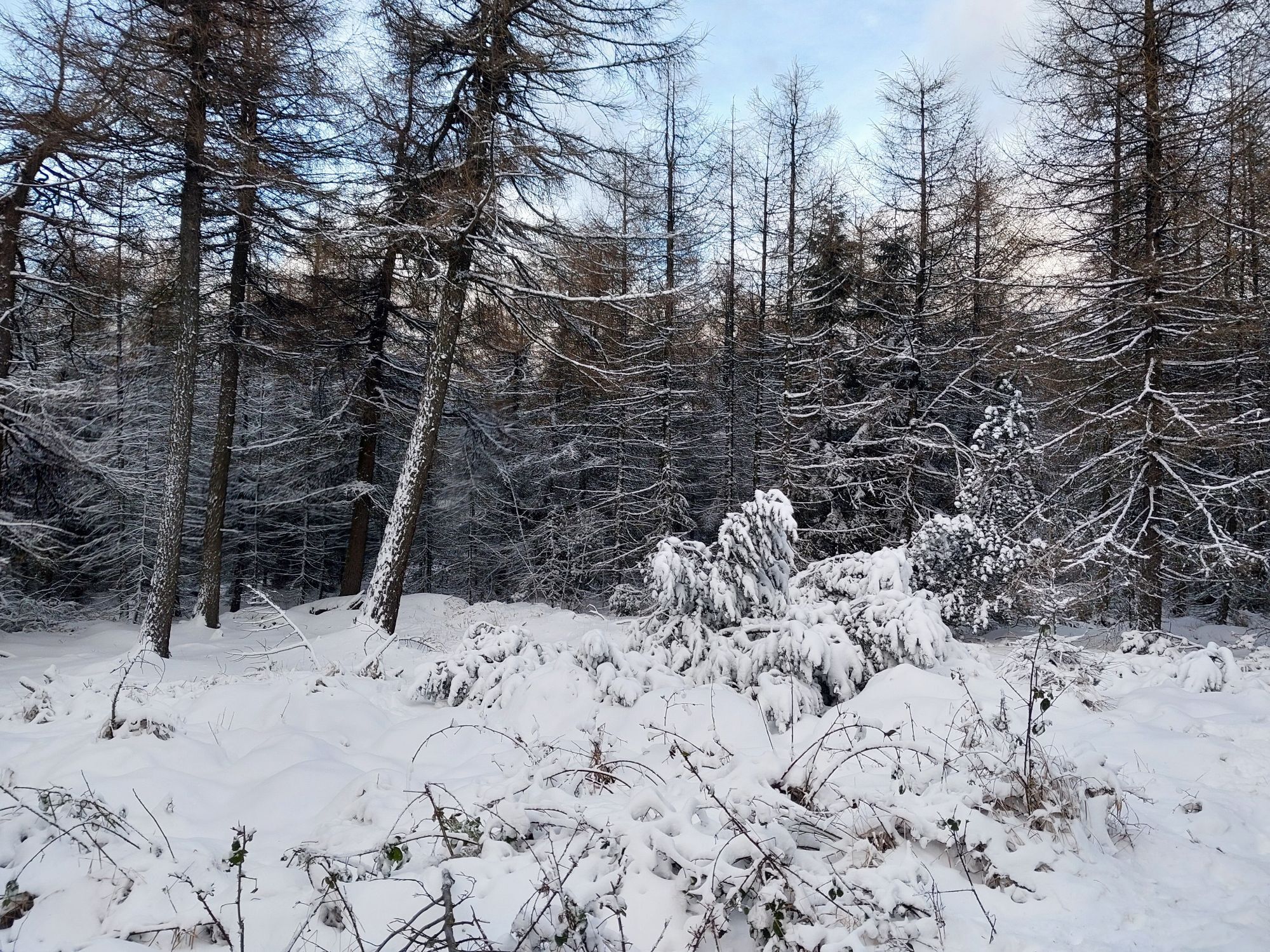
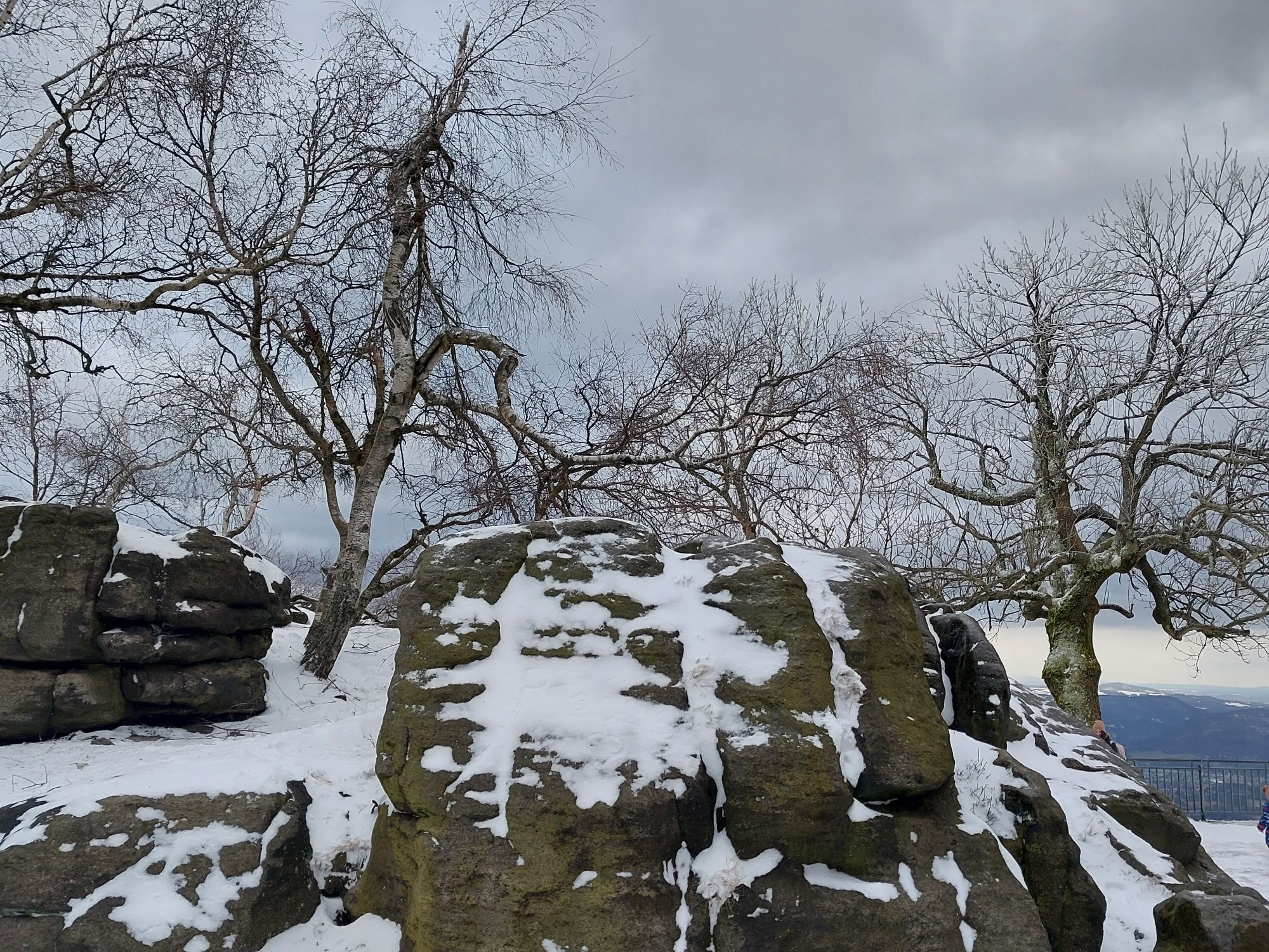
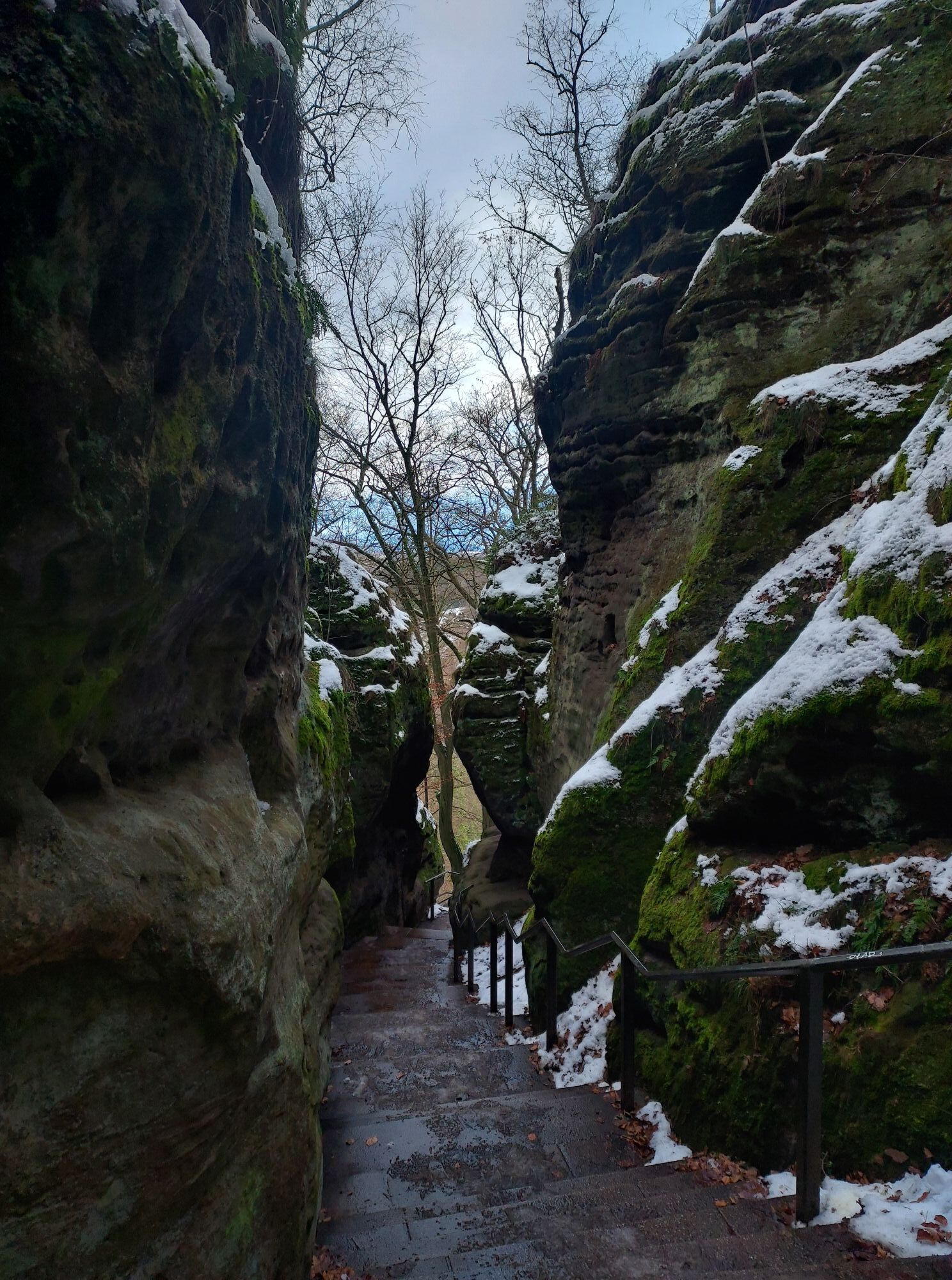
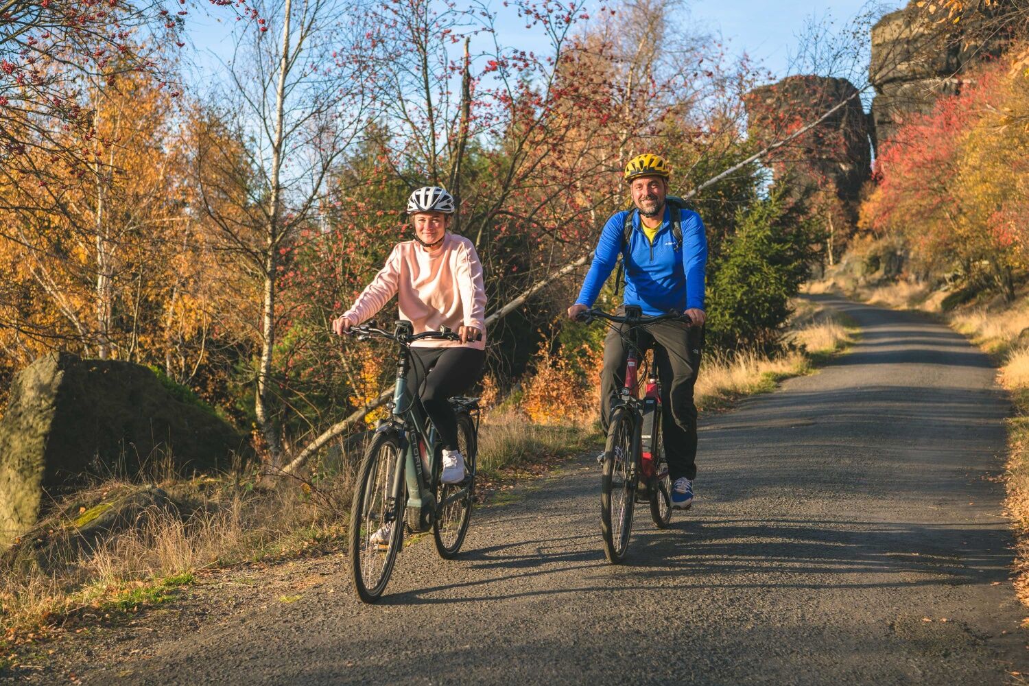
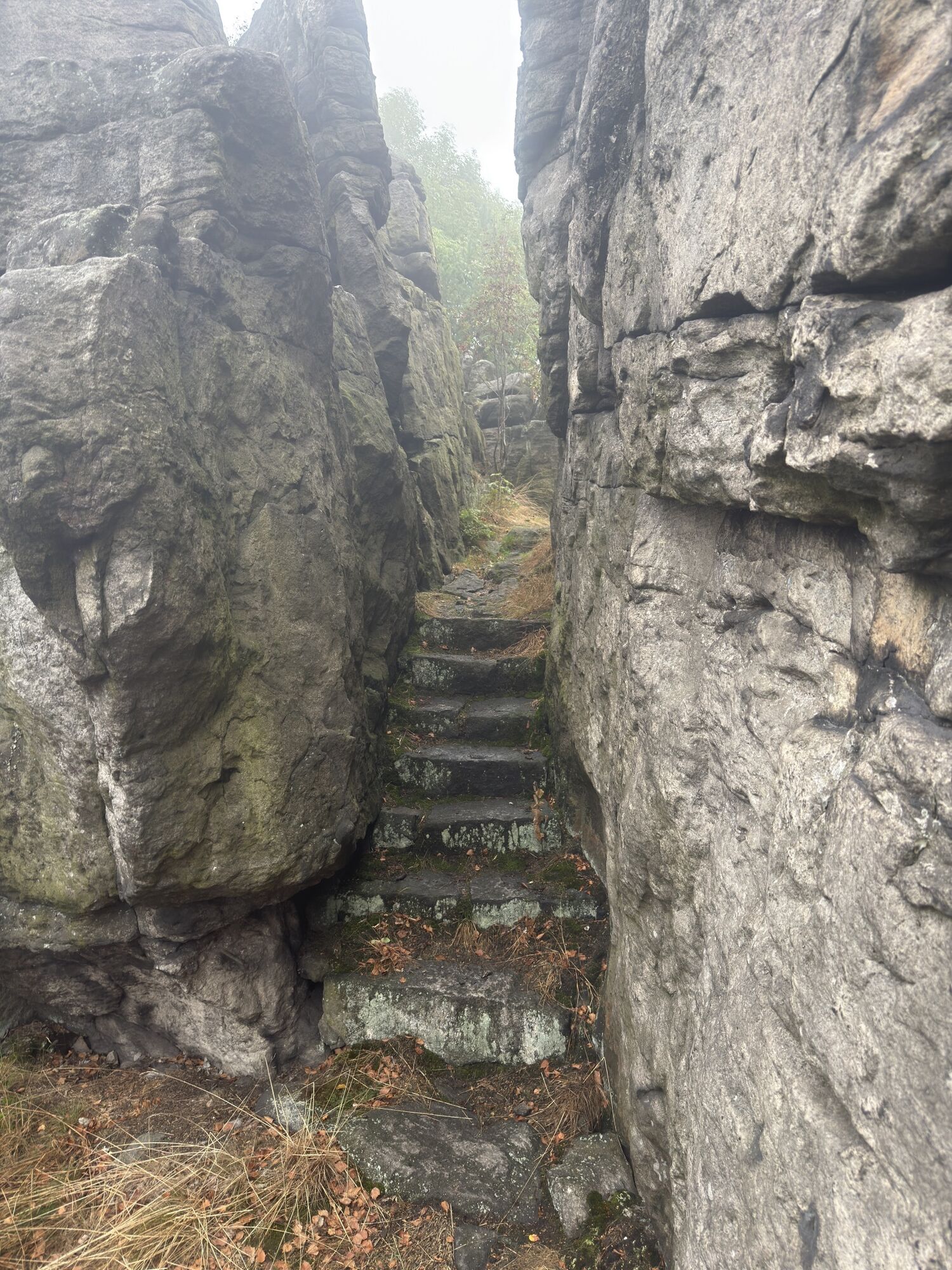
The tour can be started with a visit to the Tisá Walls. Then keep going downhill in Tisá and follow the wide serpentine to Sněžník (cycle route 21).

Tip: In Sněžník, first ride (or push) straight uphill...

Opis

The tour can be started with a visit to the Tisá Walls. Then keep going downhill in Tisá and follow the wide serpentine to Sněžník (cycle route 21).

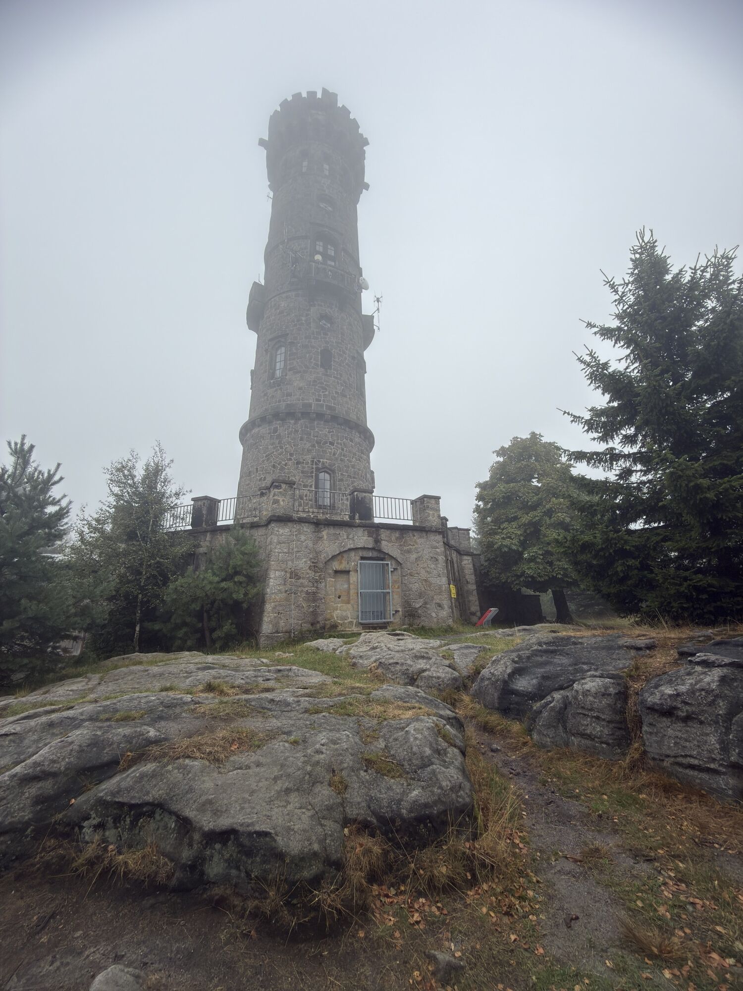
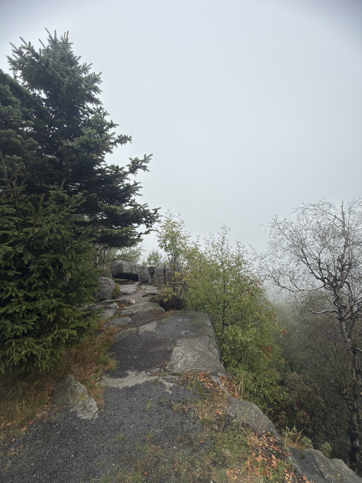
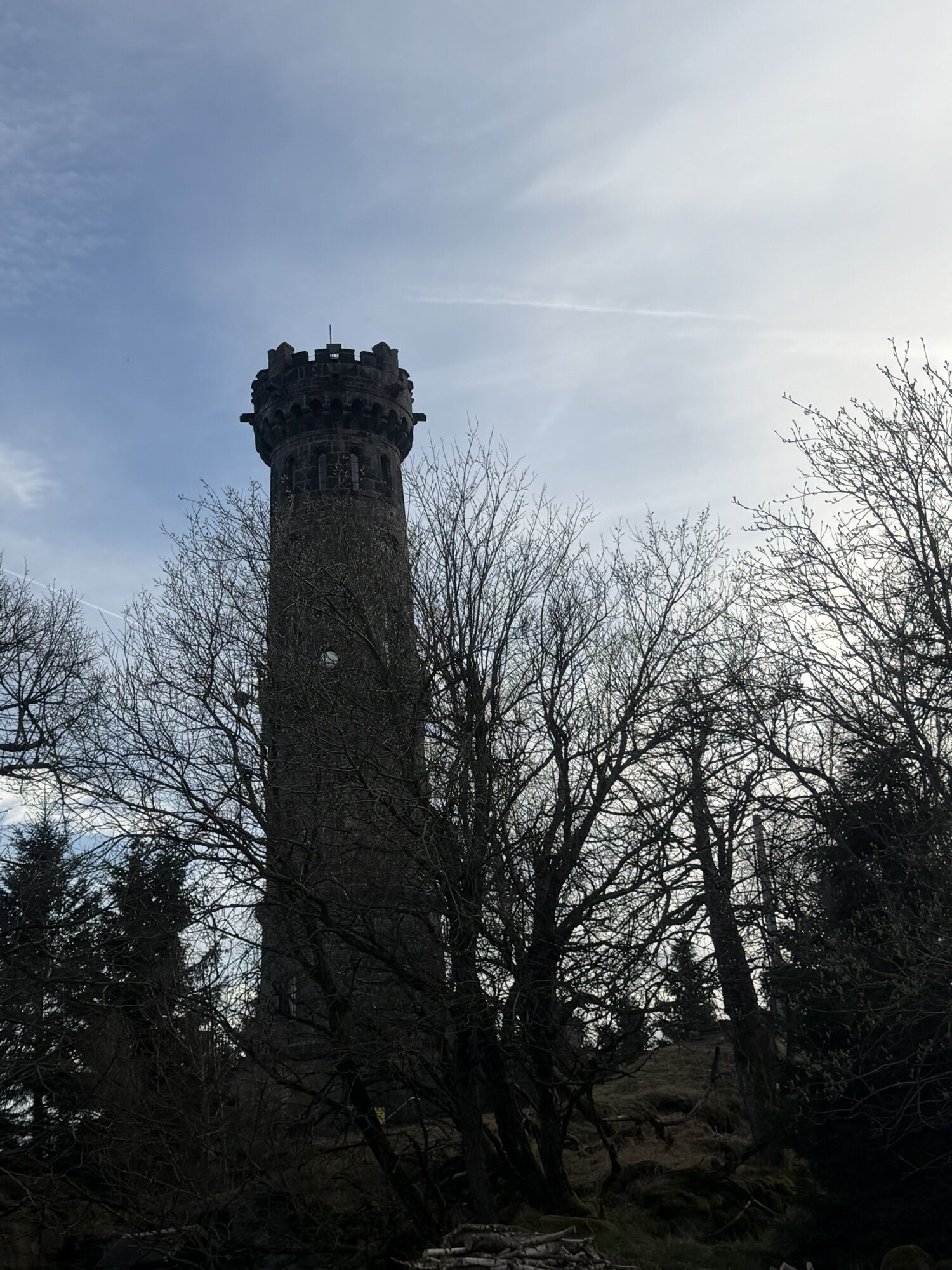
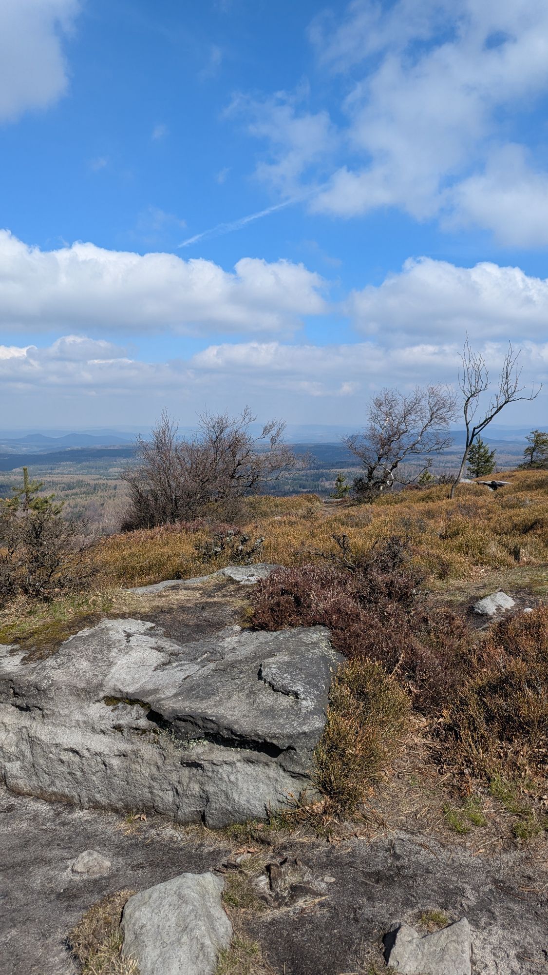
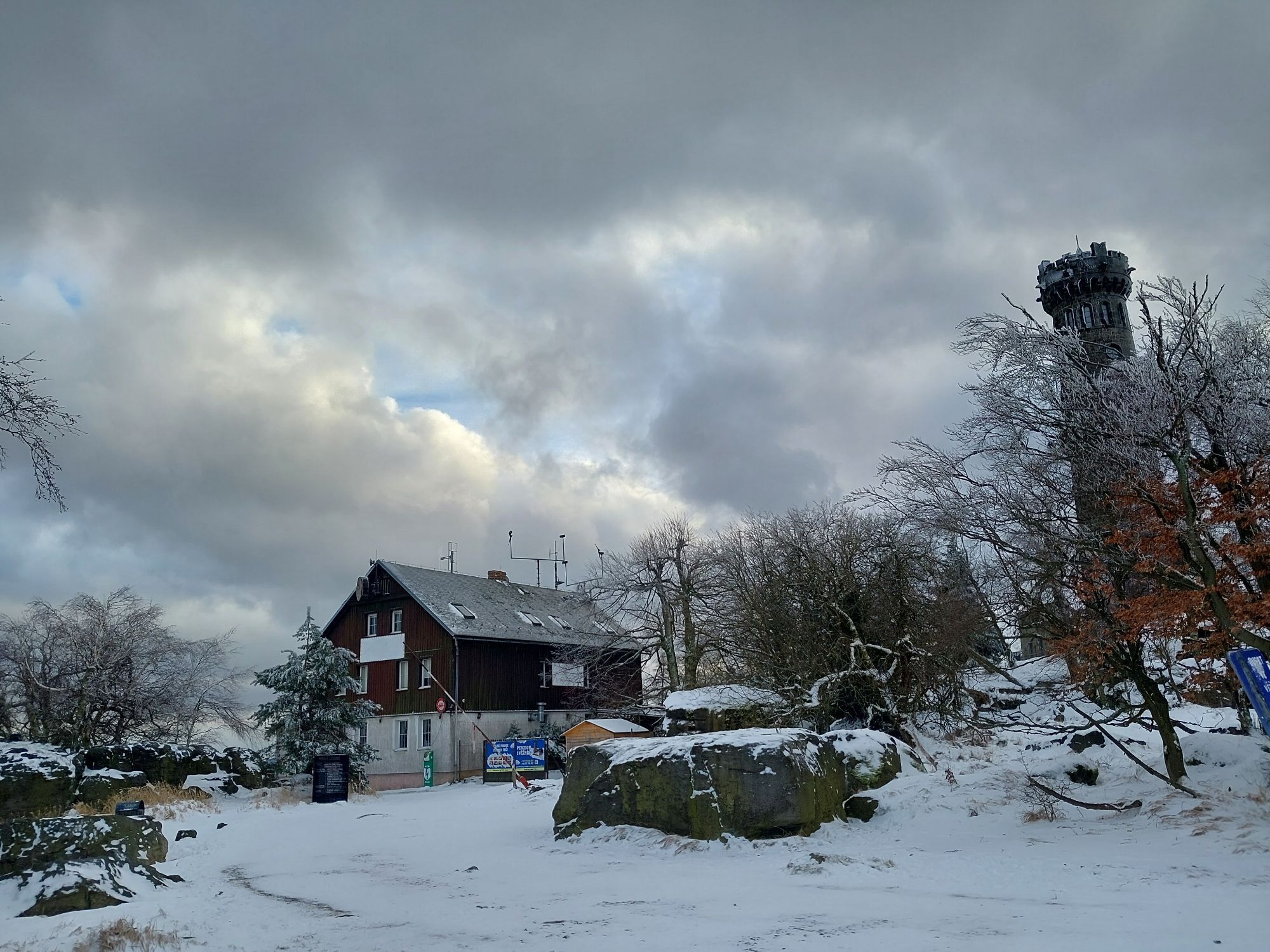
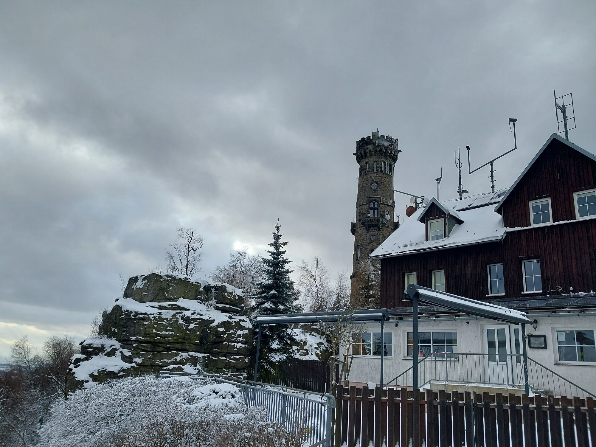
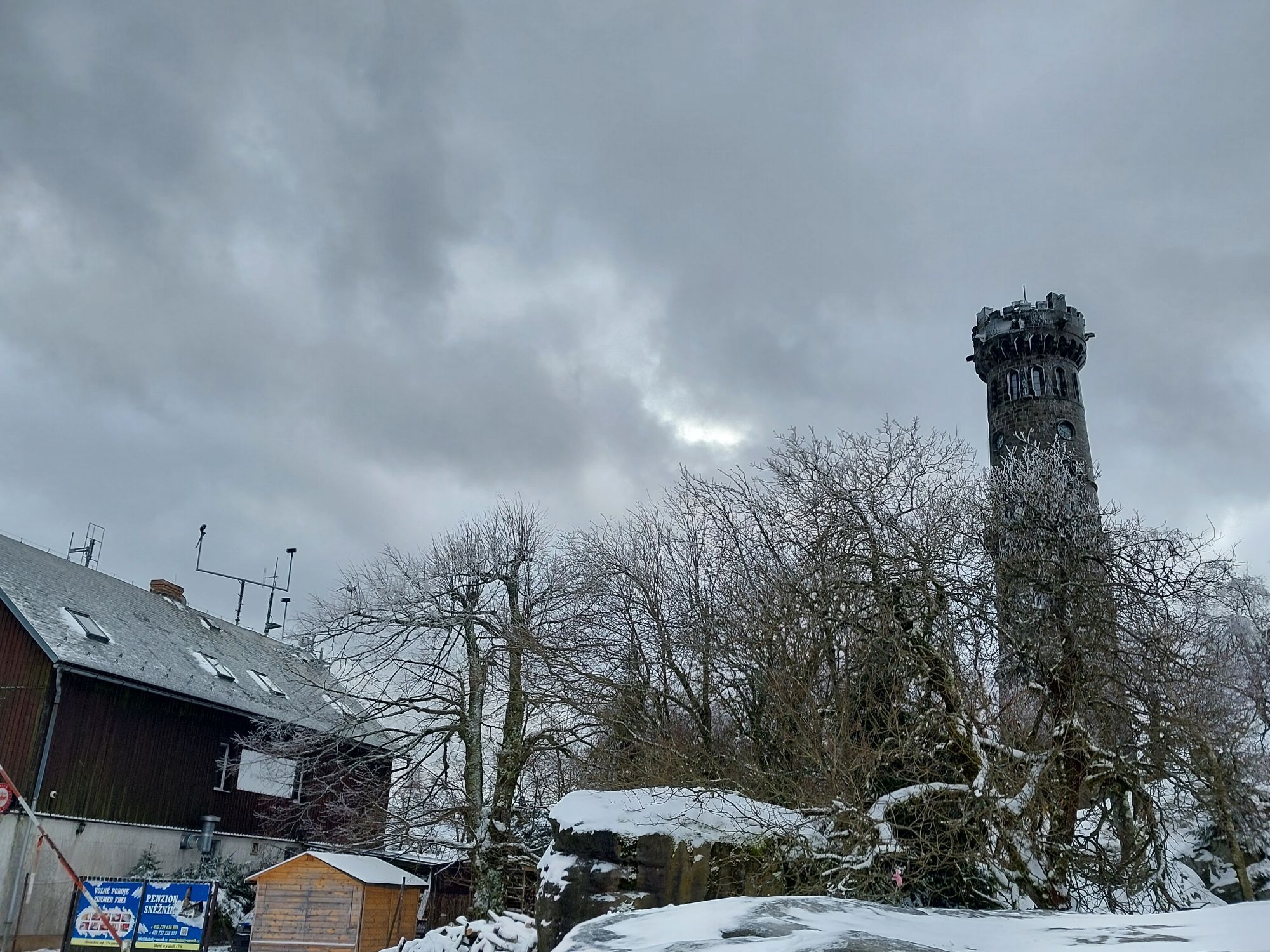
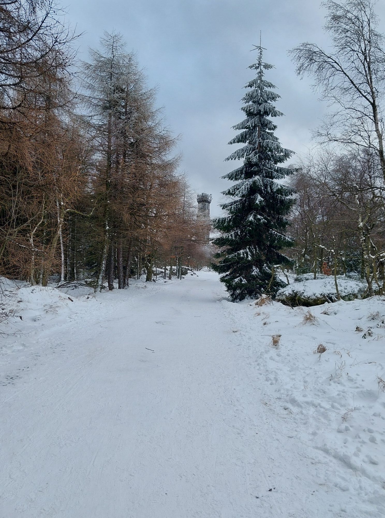
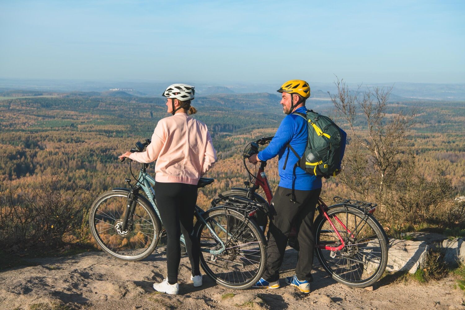
Tip: In Sněžník, first ride (or push) straight uphill for about 2 kilometres to the top of the High Snow Mountain (Sněžník). Here, the Dresden View (Drážďanská vyhlídka) awaits you first on the summit on the left side and then the lookout tower and a small lodge with refreshment facilities. The way back to the village of Sněžník is via the same path.

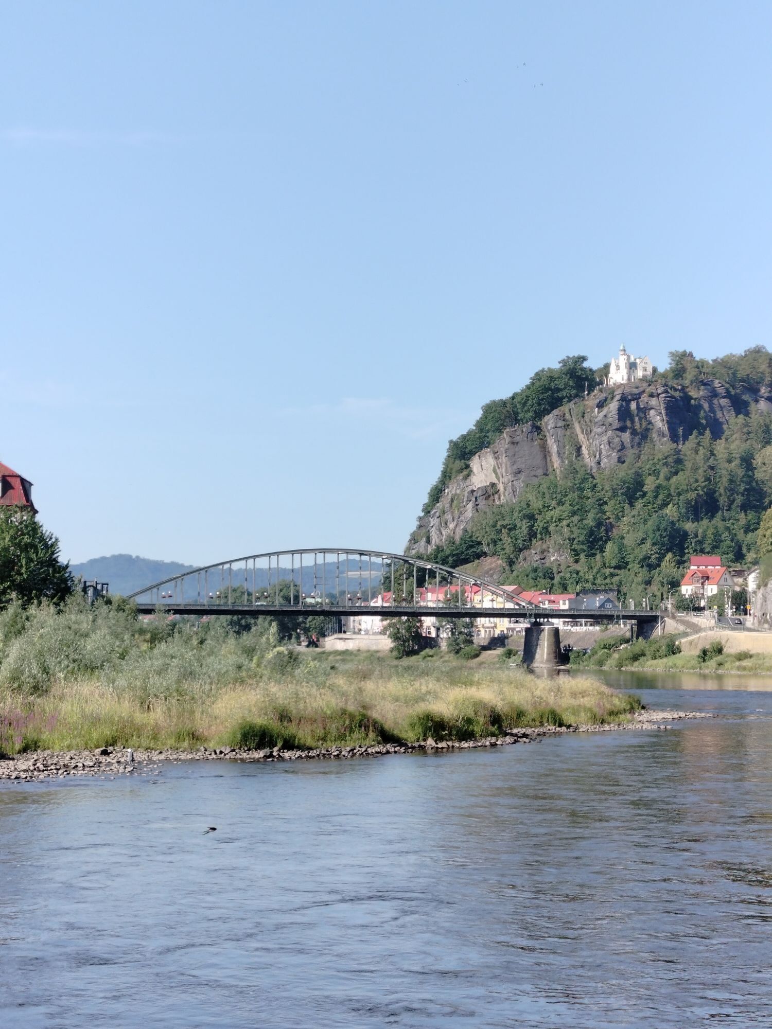
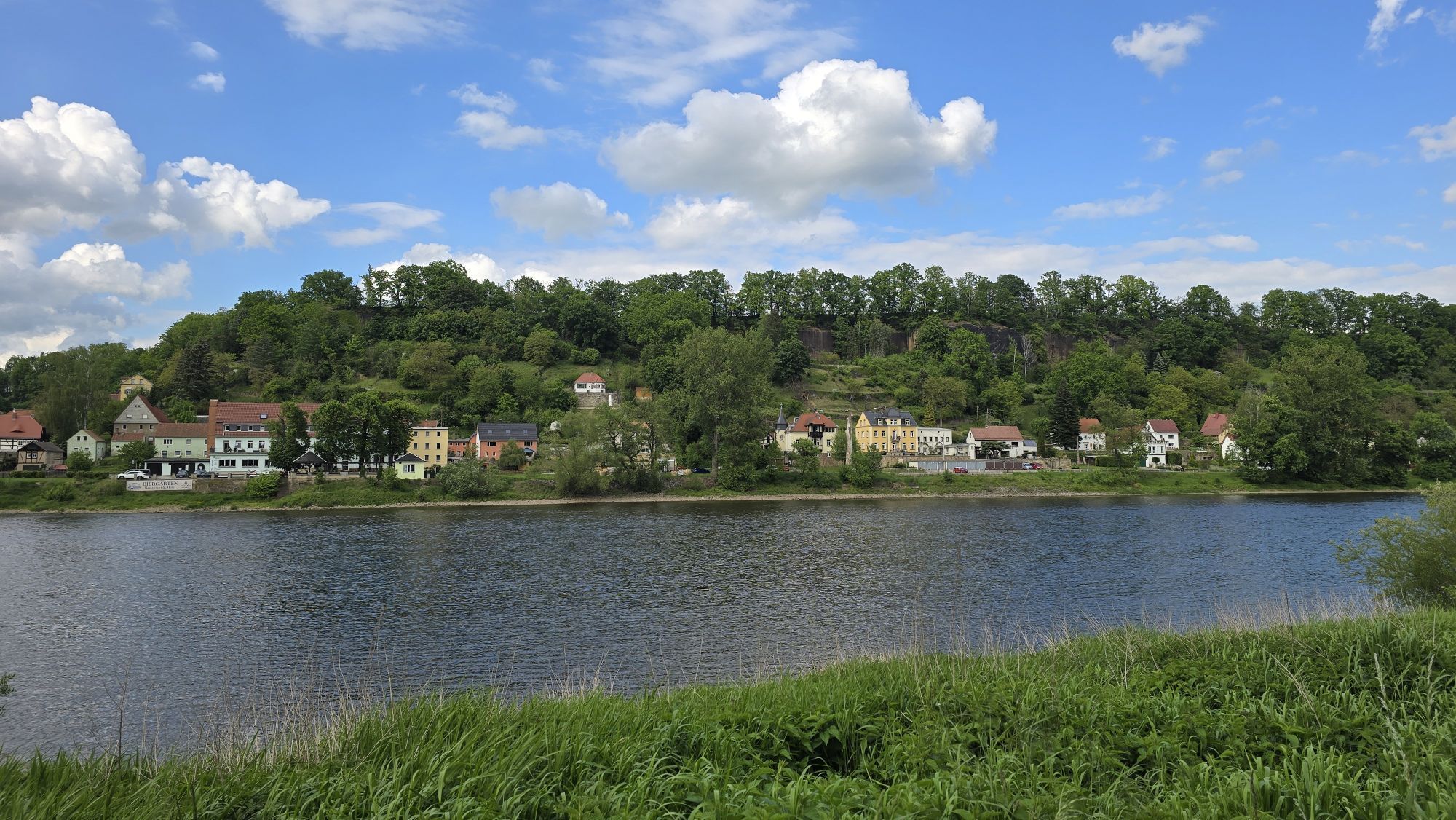
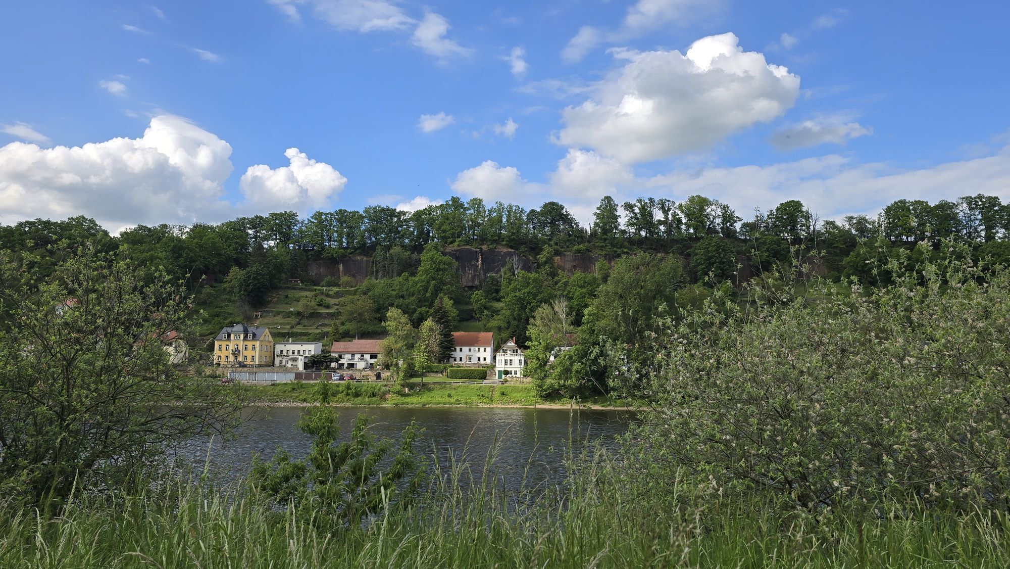
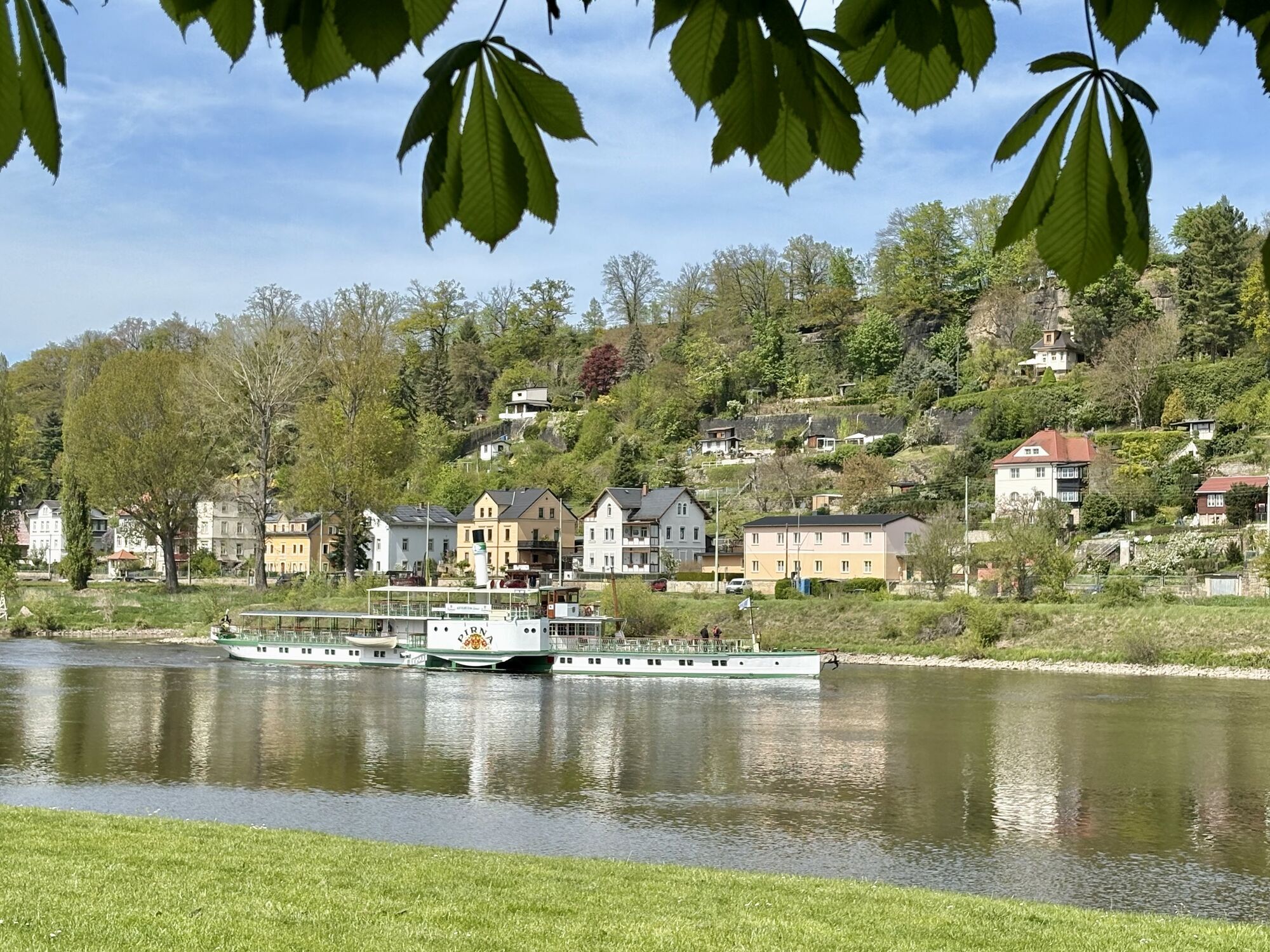
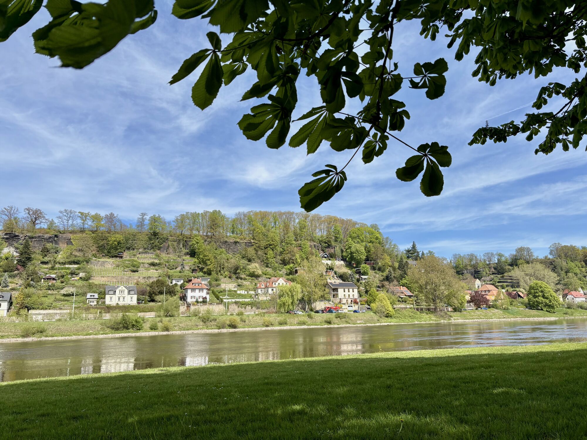
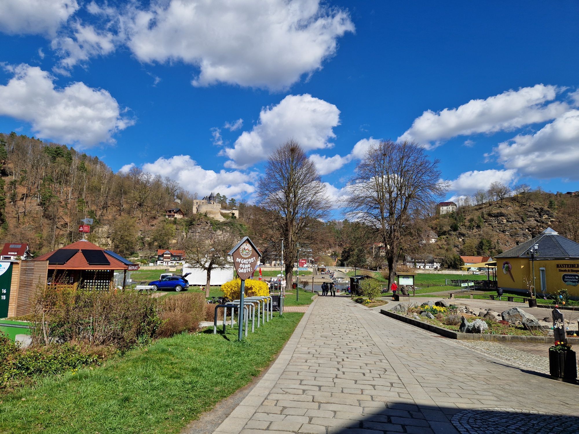
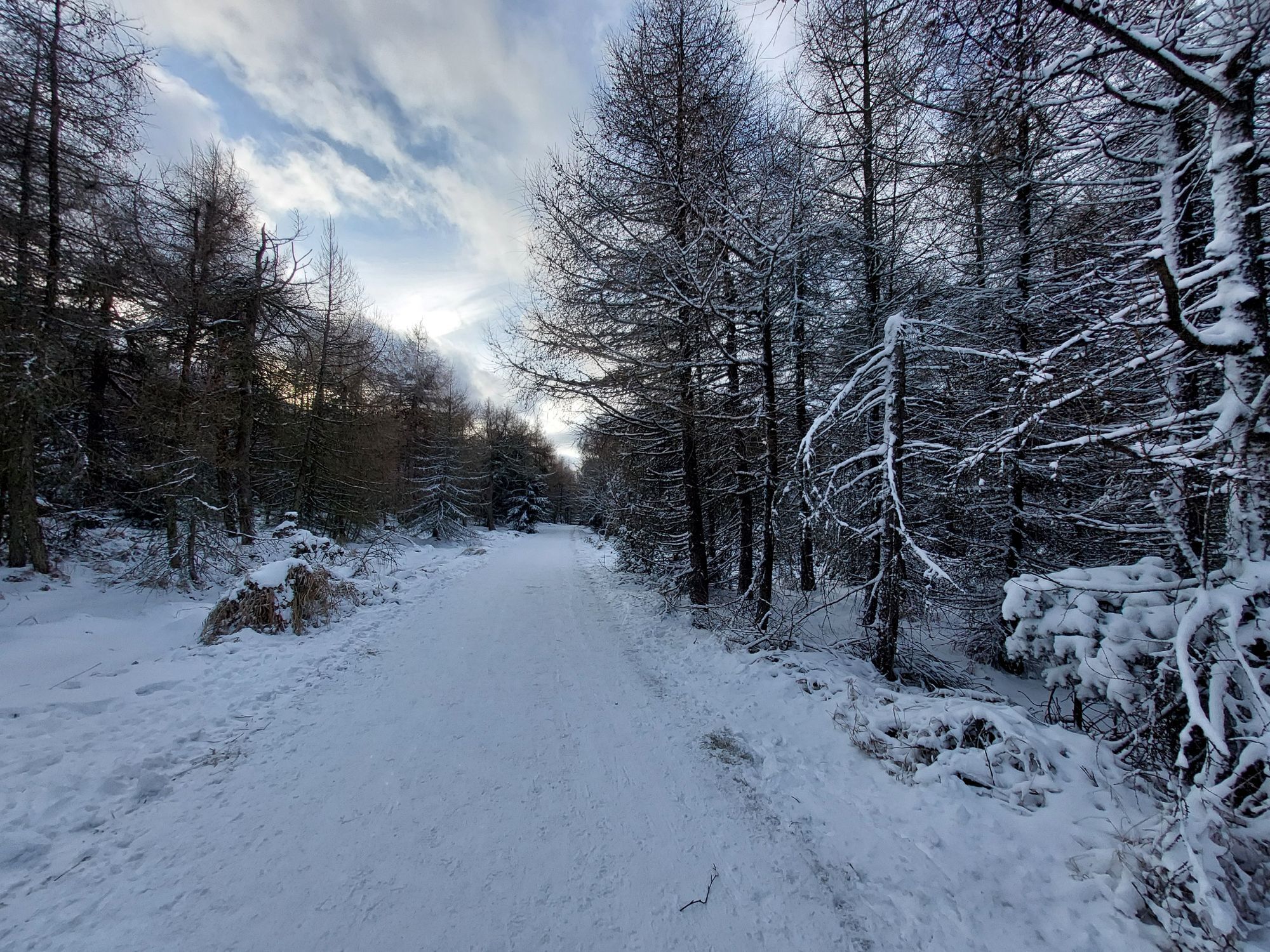
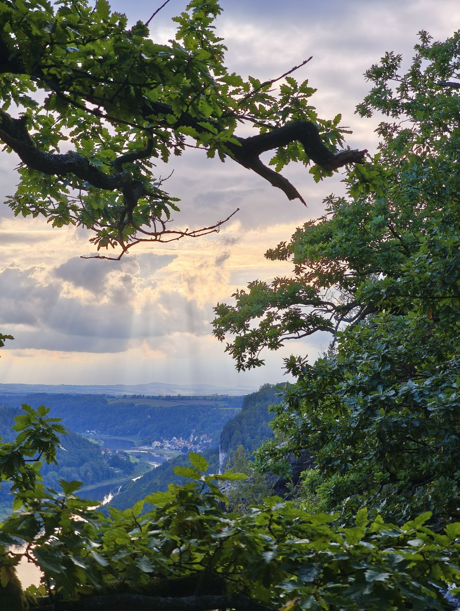
Then ride through the village of Sněžník and follow the "cycle path 23" through a long stretch of forest in the direction of Maxičky (Maxdorf). After a descent (beware, a somewhat steeper descent!), you will reach the Elbe, which is called Labe on the Czech side, via the Děčín suburb of Přípeř.

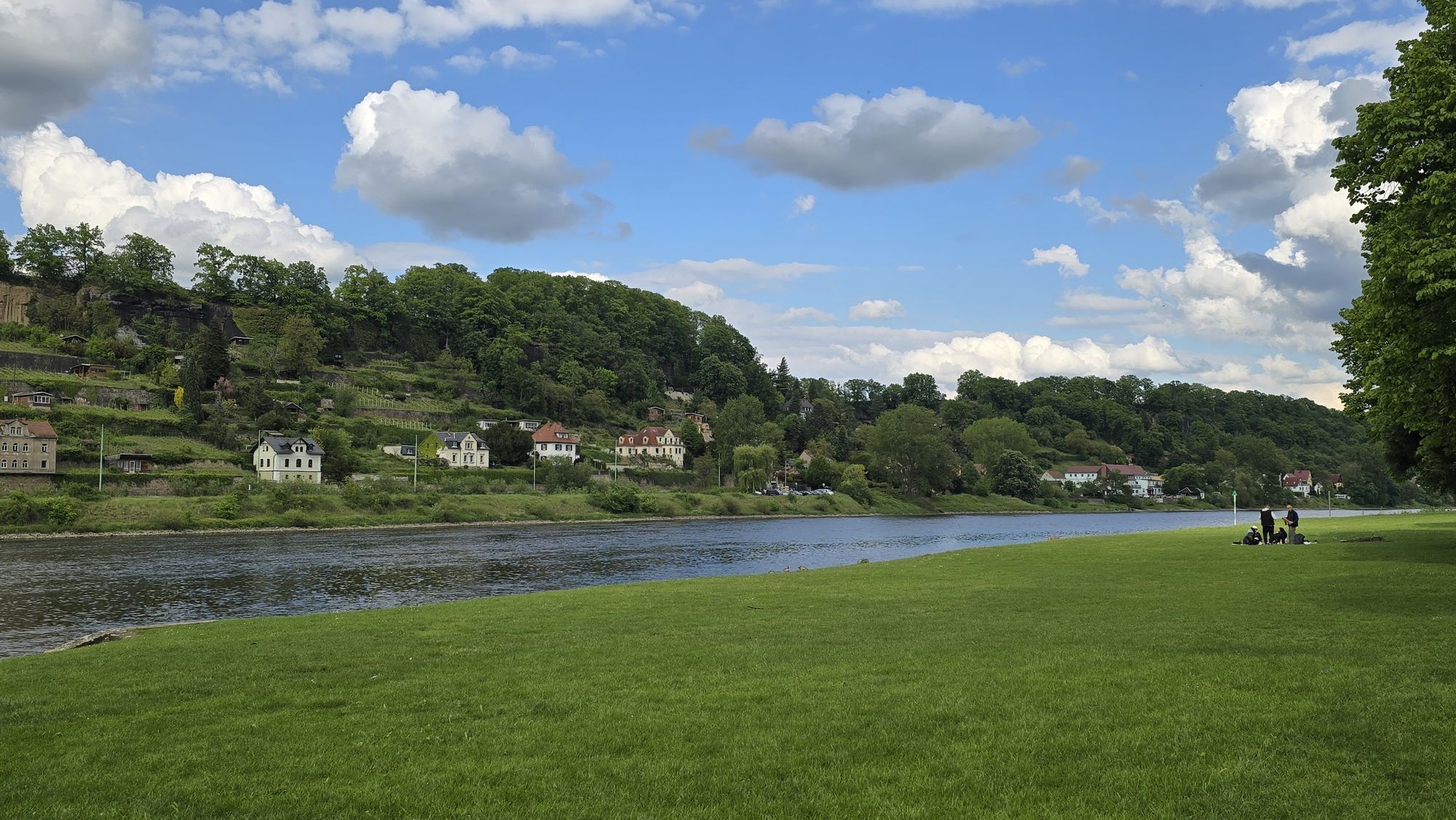
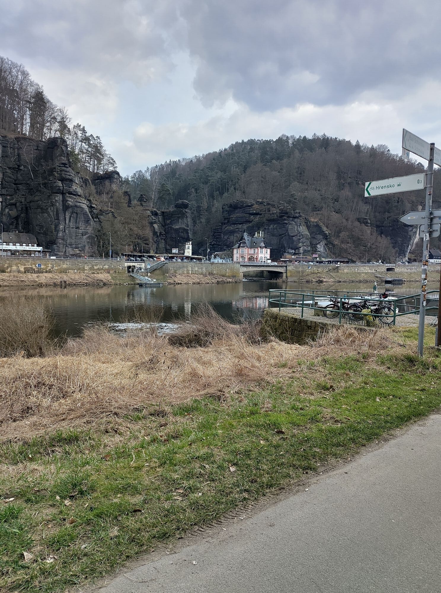
Follow the cycle path down the Elbe to Schöna and the tour can then be continued on the Elbe cycle path to Pirna.

Alternatively, you can take the S-Bahn line 1 along the Elbe cycle path, which will take you back to Pirna.

Trasa
Trasa
Mapa
Bicycle Bus/FahrradBUS Tour: Over Bohemian Rocky Peaks to the Elbe River
średni
Jazda na rowerze
67,34 km
Tisá
(538 m)
Wioska
0,0 km
Velikonoční věž
(587 m)
Szczyt
1,1 km
Svatodušní věž
(590 m)
Szczyt
1,1 km
Turistická chata Tisá
(596 m)
Restauracja
1,2 km
Dívčí věž
(592 m)
Szczyt
1,3 km
Hřebenová Bouda
(589 m)
Restauracja
4,5 km
Na blátivce
(654 m)
Korytarz/teren
5,3 km
Pod rozhlednou
(713 m)
Restauracja
6,9 km
Hřebenová Bouda
(589 m)
Restauracja
9,1 km
Švýcarský dům
(582 m)
Restauracja
9,4 km
Jalůvčí
(270 m)
Sąsiedztwo
20,6 km
Přípeř
(174 m)
Sąsiedztwo
21,8 km
Děčín
(143 m)
Miasto
22,2 km
Horní Žleb
(136 m)
Sąsiedztwo
23,7 km
Děčín-Prostřední Žleb
(136 m)
Stacja kolejowa
24,1 km
Loubí
(146 m)
Sąsiedztwo
25,2 km
Prostřední Žleb
(134 m)
Wioska
26,6 km
Čertova Voda
(138 m)
Wioska
27,9 km
Dolní Žleb
(148 m)
Wioska
31,0 km
Dolní Žleb
(120 m)
Przystań promowa
31,2 km
Dolní Grund
(128 m)
Restauracja
31,2 km
Dolní Žleb
(126 m)
Stacja kolejowa
31,5 km
Klopotský vodopád
(203 m)
Wodospad
32,9 km
Schöna
(118 m)
Przystań promowa
34,8 km
Hřensko
(127 m)
Wioska
35,1 km
Hirschmühle
(119 m)
Przystań promowa
36,6 km
Schmilka
(117 m)
Sąsiedztwo
36,9 km
Caspar-David-Friedrich-Quelle
(157 m)
Źródło
38,8 km
Landgasthaus Ziegelscheune
(124 m)
Restauracja
41,0 km
Postelwitz
(122 m)
Sąsiedztwo
41,5 km
Krippen, Bornfähre
(116 m)
Przystań promowa
43,0 km
Bad Schandau
(146 m)
Miasto
43,2 km
Königstein
(118 m)
Przystań promowa
49,4 km
Königstein
(212 m)
Miasto
49,5 km
Raststätte "Kleine Einkehr"
(123 m)
Restauracja
51,5 km
Strand
(123 m)
Sąsiedztwo
53,2 km
Kurort Rathen
(141 m)
Wioska
55,4 km
Oberrathen
(127 m)
Sąsiedztwo
55,5 km
Pötzscha
(138 m)
Wioska
58,1 km
Stadt Wehlen
(120 m)
Miasto
58,8 km
Obervogelgesang
(146 m)
Sąsiedztwo
62,0 km
Niedervogelgesang
(110 m)
Sąsiedztwo
63,6 km
Cunnersdorf
(177 m)
Sąsiedztwo
64,7 km
Pirna
(111 m)
Przystań promowa
66,5 km
Informacje o wycieczce

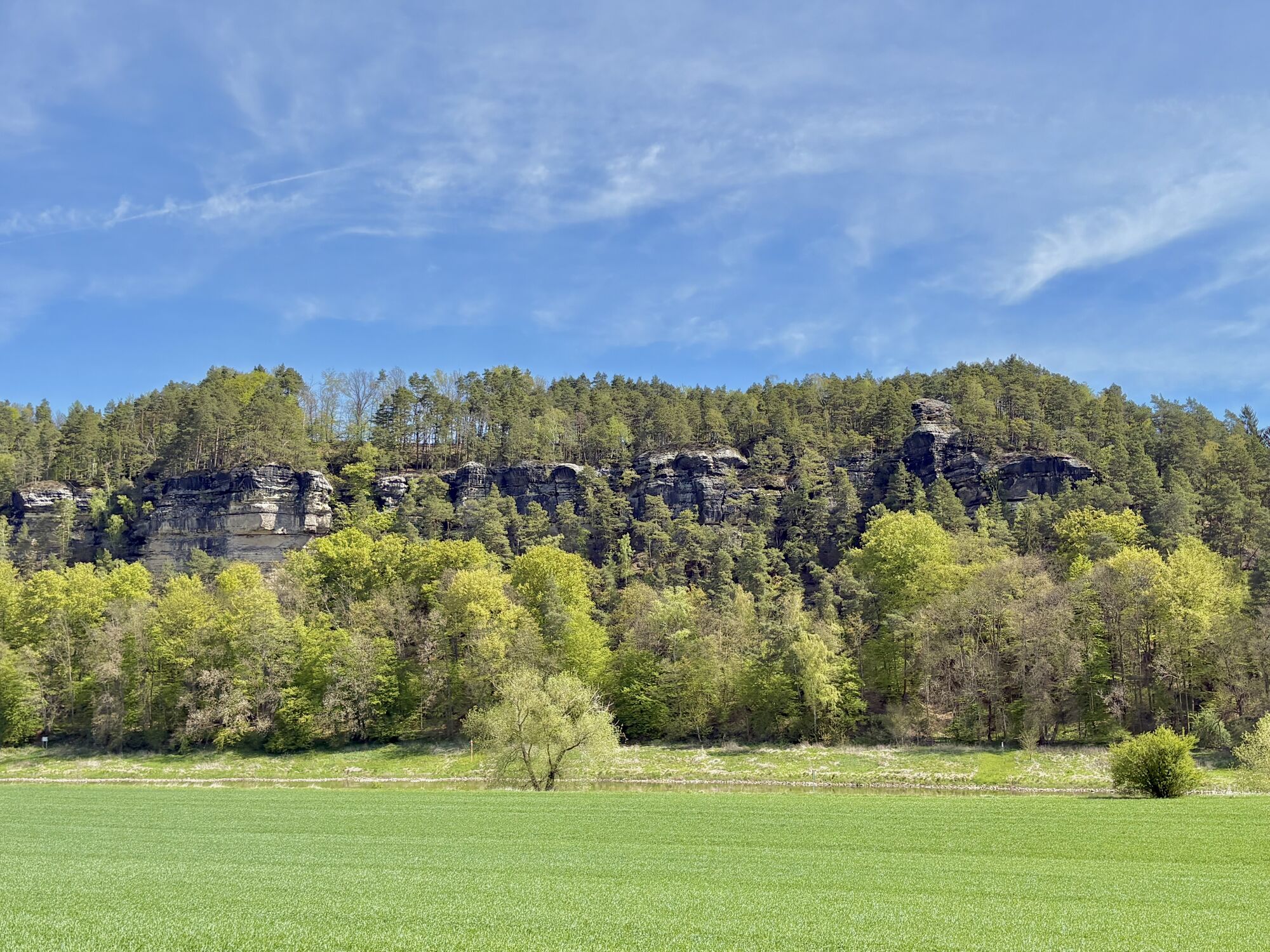
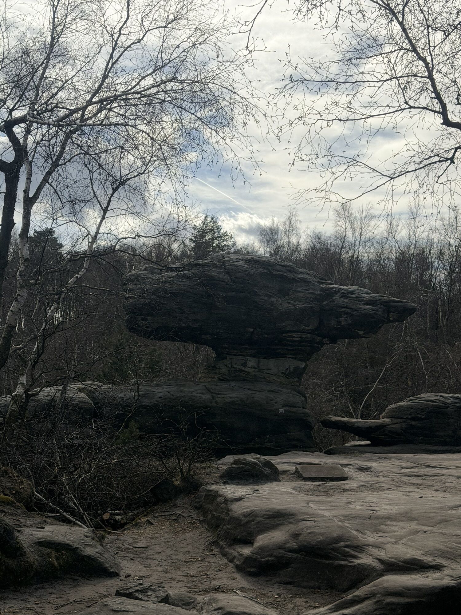
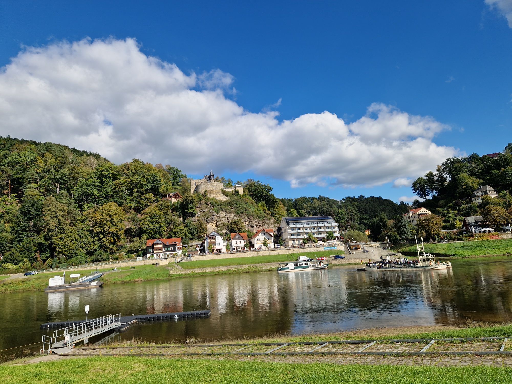
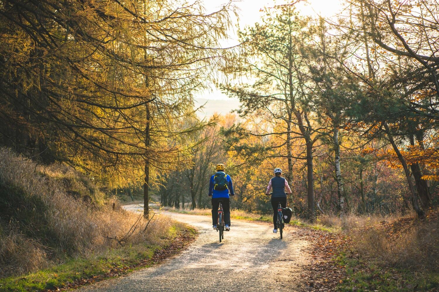
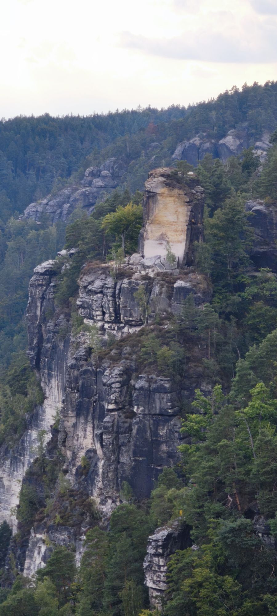
On this tour you can discover the Czech side of the Elbe Sandstone Mountains and the Elbe Valley. On weekends and public holidays from April to October, take your bike or e-bike and relax on the bicycle bus line 217 from Pirna via Berggießhübel and Bahratal or from Rosenthal, which will take you to Tisá in the Czech Republic.With its detours to the rocks of the Tiské stěny (Tysza Walls) and the Sněžník (High Snow Mountain) to the Elbe Valley of Saxon-Bohemian Switzerland, the bike tour becomes a pleasure tour. It can be shortened at will between the Czech-German border in the Elbe valley, as the route runs parallel to the S-Bahn line in the direction of Pirna on the Elbe cycle path.

Technologia
n.d.
Stan
4 / 6
Krajobraz
6 / 6
Doświadczenie
n.d.
Najlepsza pora roku
Sty
Lut
Mar
Kwi
Maj
Cze
Lip
Sie
Wrz
Paź
Lis
Gru
Autor
Dostarczone przez Touristinformation Bad Gottleuba-Berggießhübel
Udostępnij trasę
Mapa
Bicycle Bus/FahrradBUS Tour: Over Bohemian Rocky Peaks to the Elbe River
średni
Jazda na rowerze
67,34 km
Błąd
Wystąpił błąd. Spróbuj ponownie.
Ostatnio śledzony 4 tygodnie temu
Informacje o przyjeździe
Transport publiczny
Arrival:

Bicycle Bus/FahrradBUS 217 from Pirna ZOB (bus station) via Berggießhübel and Bahratal, on weekends between 1.4. and 31.10.

Bicycle bus/FahrradBUS 242 from Königstein Reißiger Platz/Bahnhof via Leupoldishain and Rosenthal-Bielatal, from Rosenthal the bus continues as Bicycle BUS 217 to Tísa, on weekends between 1.4. and 31.10.
Departure:

National Park Railway U28 from Děčín to Bad Schandau or further via Sebnitz to Rumburk.
S-Bahn S1 (Schöna - Meißen Triebischtal), from Bad Schandau, Königstein, Kurort Rathen and Pirna, among others.

Parking

Pirna Elbe parking lot

Dodatkowe informacje i wskazówki
Wskazówki

The bicycle buses run on all public holidays and weekends in the period from 1.4. to 31.10. They can transport up to 16 bicycles at a time. The transport of e-bikes is no problem. Your advantage: Overnight guests with the mobile guest card only have to buy a bike ticket. This is possible with the bus driver.

Nie ma jeszcze recenzji
Napisz recenzję

Recenzje pomagają innym użytkownikom wybrać kolejną przygodę. Oceniaj tylko trasę, a nie pogodę lub przekąskę.

Wybierz jedną z gwiazdek, aby ocenić wycieczkę
Zła trasa
Słaba trasa
Przeciętna wycieczka
Dobra wycieczka
Doskonała wycieczka
bergfex logo Uzyskaj wgląd Zawsze na żywo z ponad 9 500 kamer internetowych. bergfex Jako użytkownik Pro, możesz teraz zobaczyć odpowiednie kamery internetowe dla wielu wycieczek w aplikacji wycieczki od. Pozwala to na bezpośredni podgląd aktualnych warunków.
Wędrówki i tropienie

Wędrówki i tropienie

Wędrówki i tropienie
Ponad 550.000 propozycji wycieczek, szczegółowe mapy i intuicyjny planer tras sprawiają, że aplikacja jest niezbędna dla wszystkich entuzjastów przyrody.
bergfex