







Orizzonti Dolomitici
Poziom trudności: 1
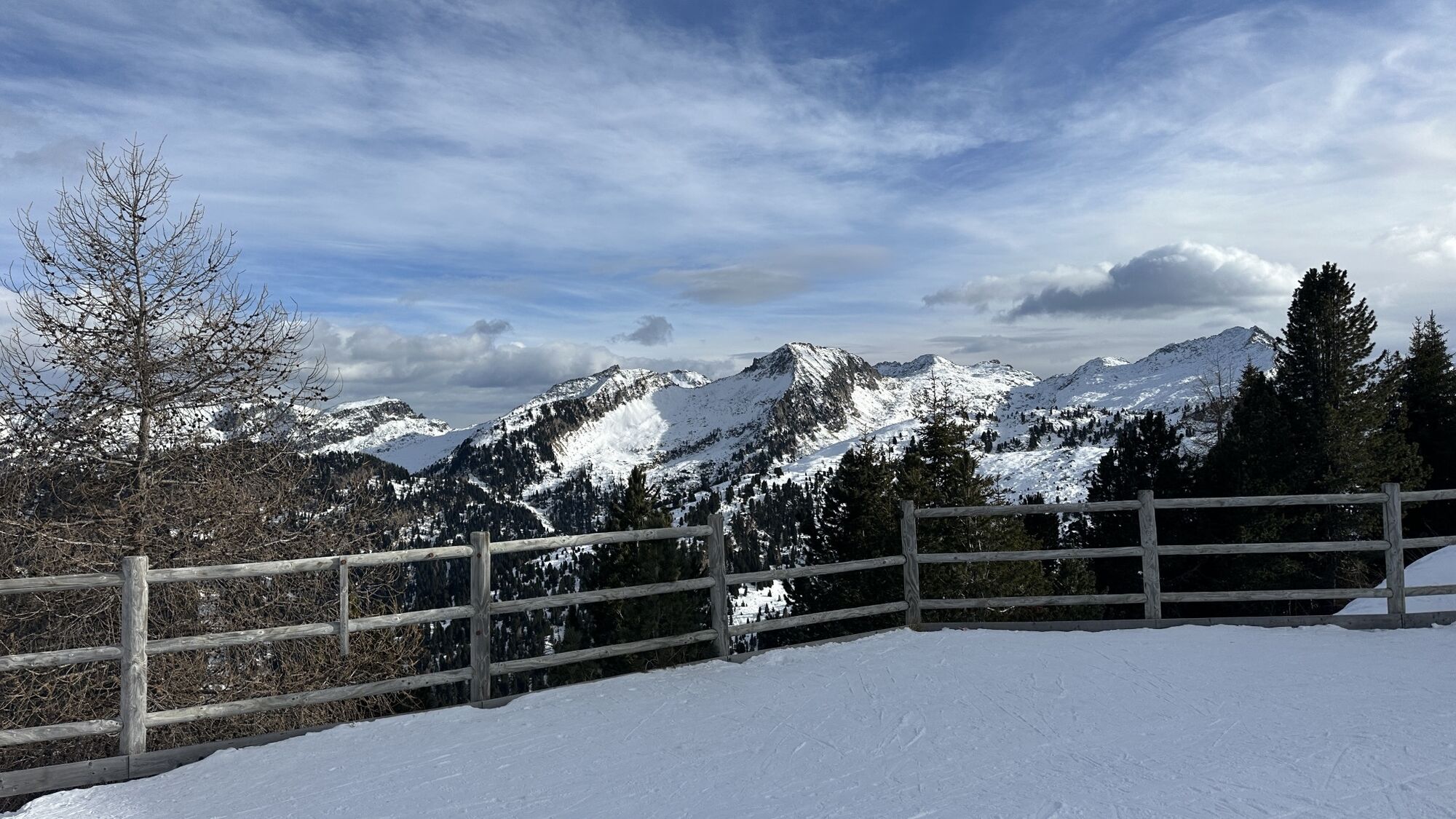
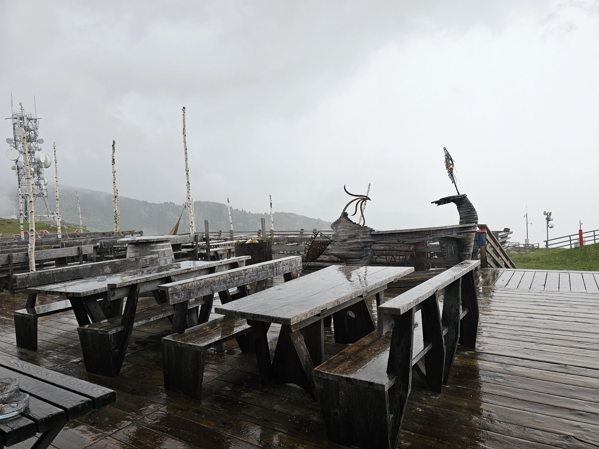
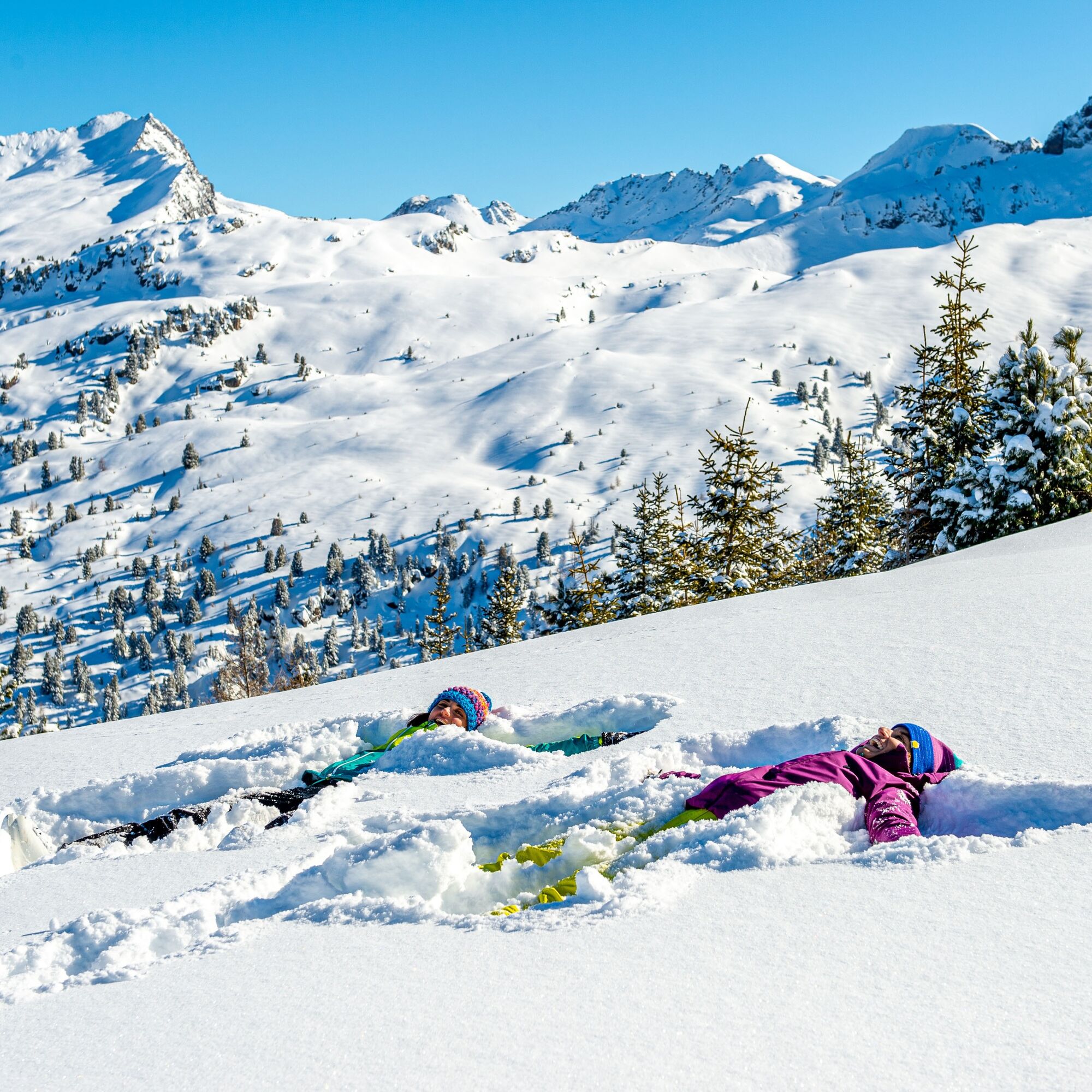
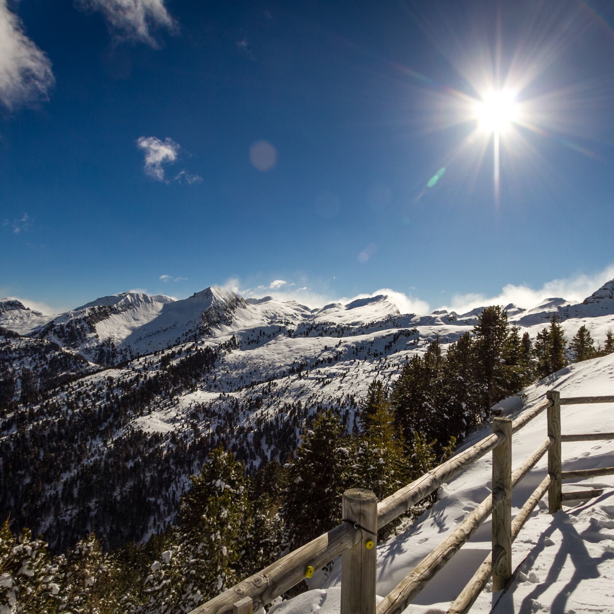
The newly developed panoramic trail begins at 2.000 m above sea level. Between original chalets and the colourful hustle and bustle of skiers, it soon leads into the silence of nature. As the altitude...
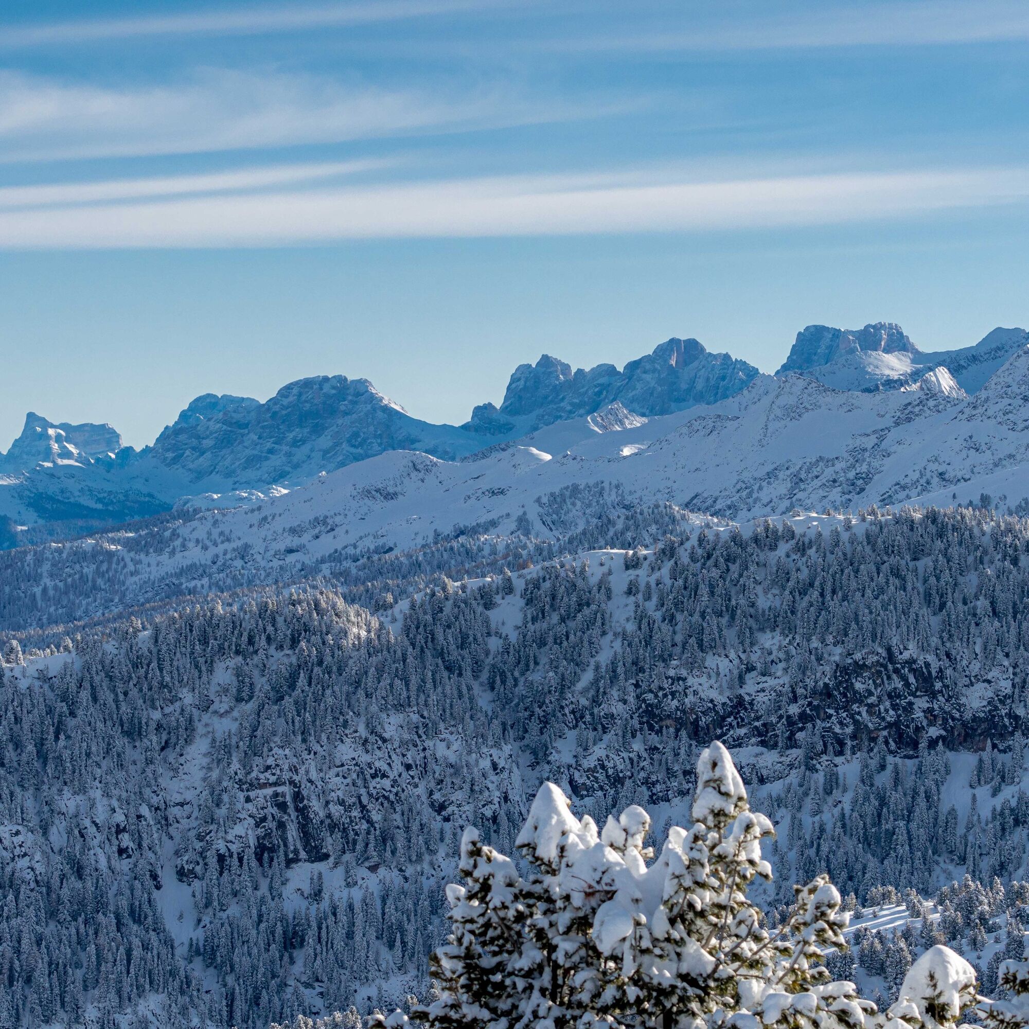
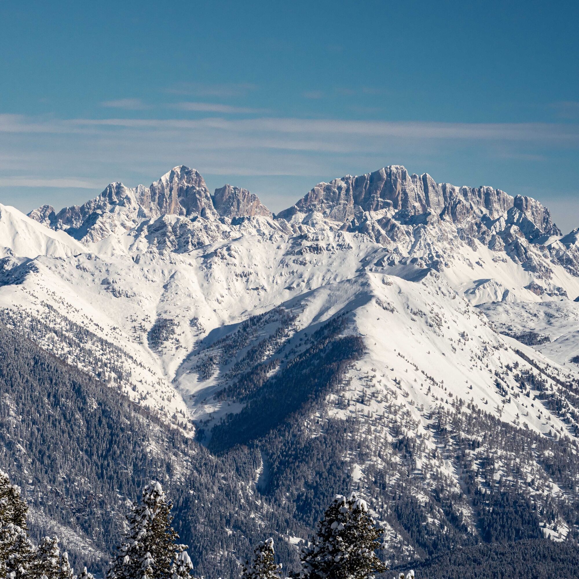
The newly developed panoramic trail begins at 2.000 m above sea level. Between original chalets and the colourful hustle and bustle of skiers, it soon leads into the silence of nature. As the altitude increases, the view opens up to the most beautiful peaks that surround the Val di Fiemme. The goal is Paion del Cermis at 2200 m above sea level; a rock terrace with a panoramic view of the Lagorai mountains and the breathtaking Dolomite world. Before returning back, whether by lift or on foot, you should stop off at the Paion hut, which offers tasty regional delicacies.

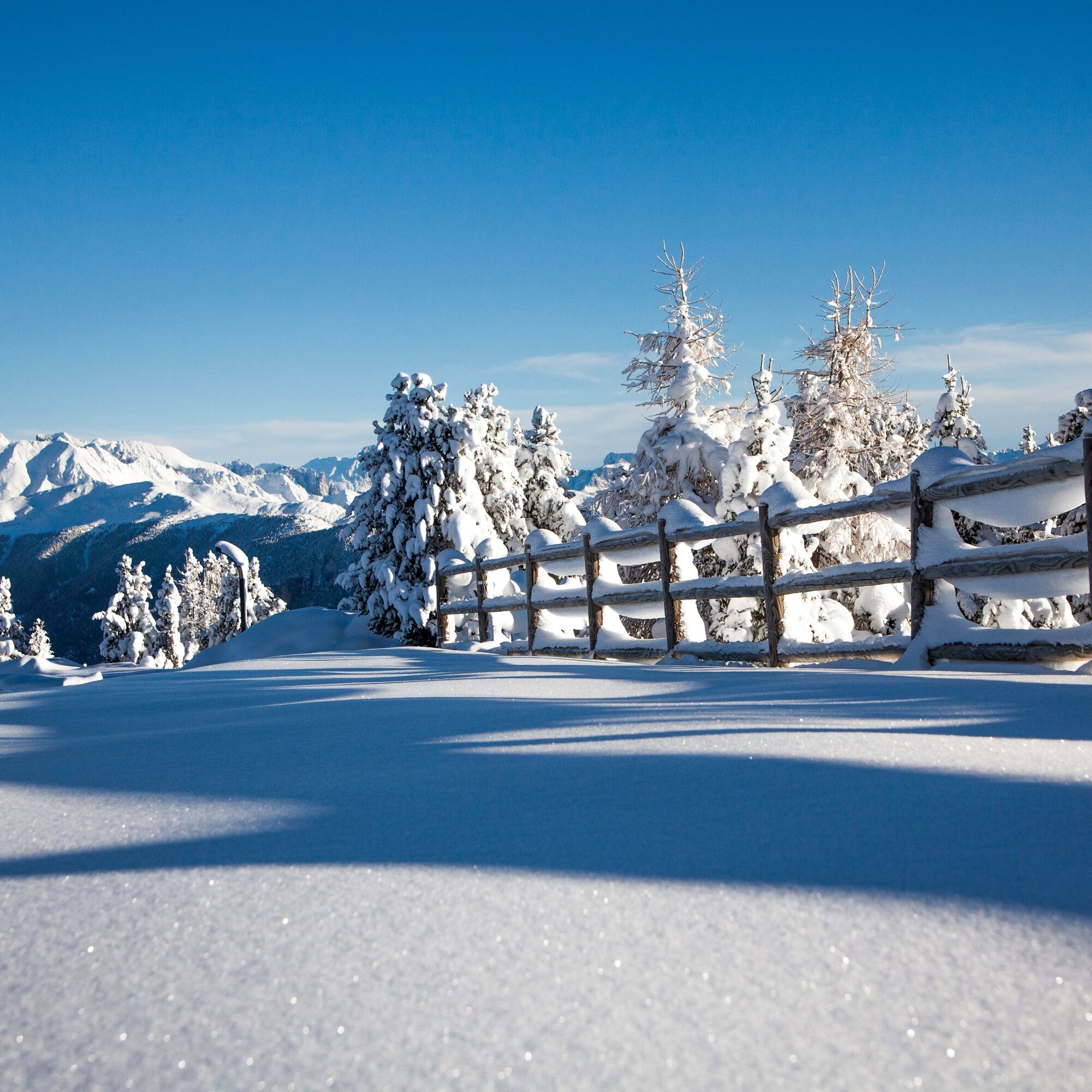
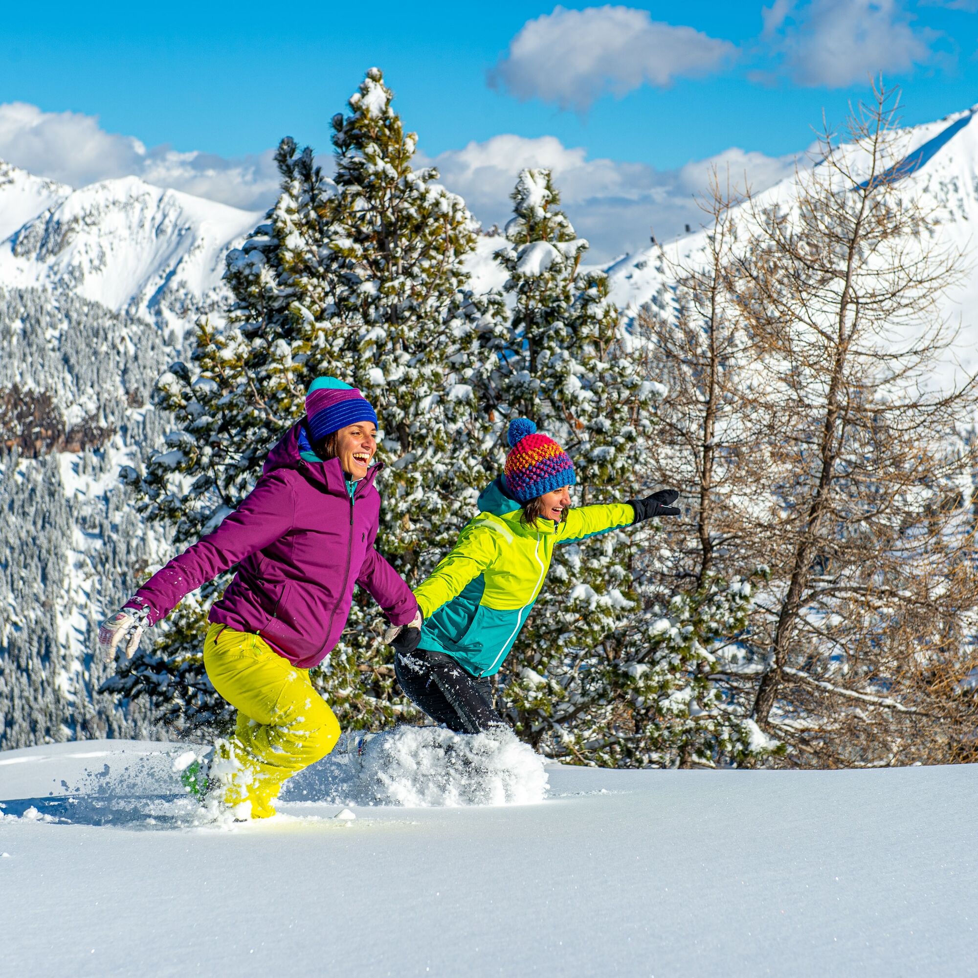

The cable car takes you from Cavalese to the middle station "Doss dei Laresi". There you change to the second cable car that takes you to the Cermis mountain station at 2000 m (journey time: 20 minutes).
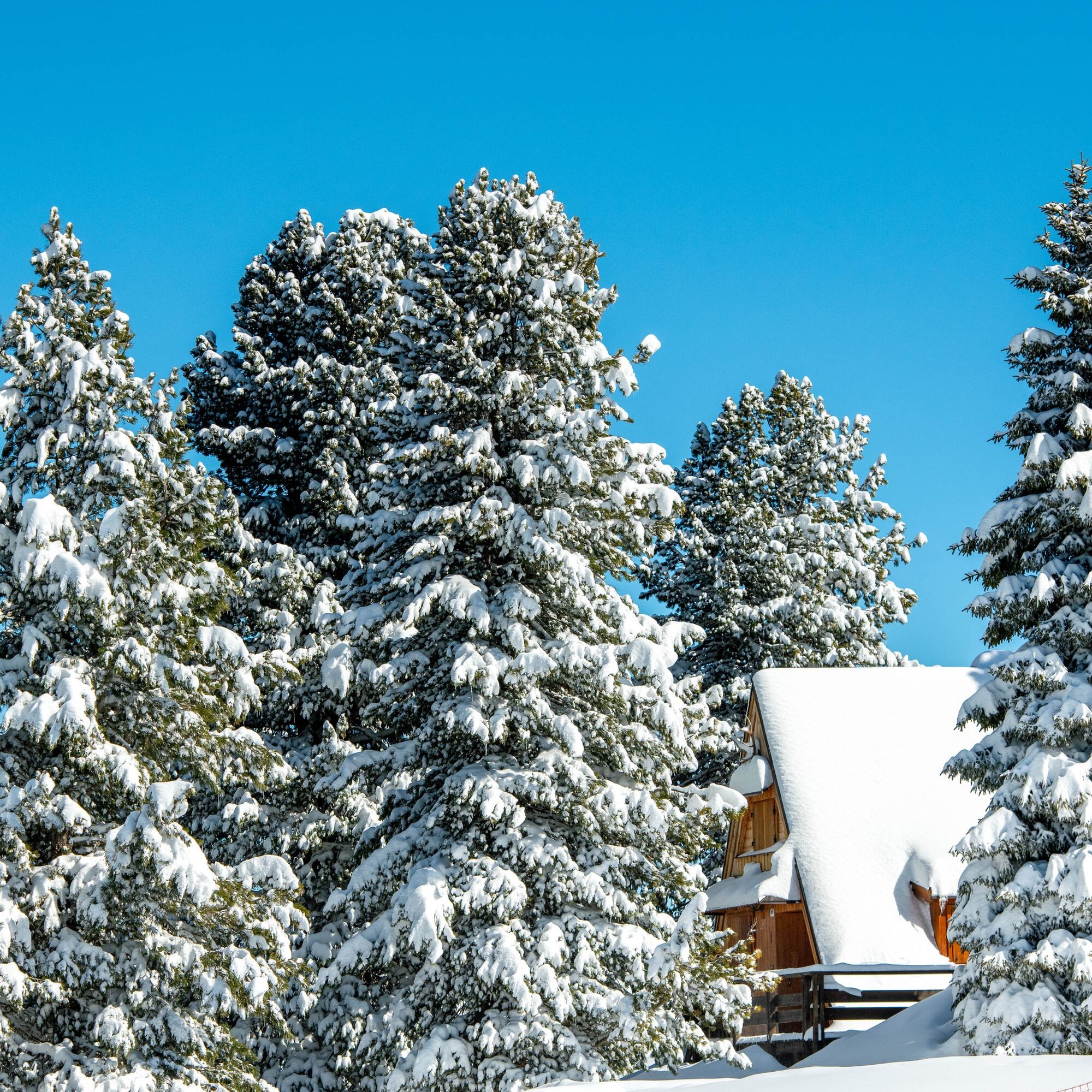
Between the picturesque chalets surrounded by stone pines, you come to the starting point of the winter trail. Soon you reach the tree line and the view opens up to the eastern mountain world of the Val di Fiemme all the way to the Marmolada (3343 m), the queen of the Dolomites. After a somewhat steeper section, the path leads parallel to the ski slope to the Paion del Cermis with its alpine restaurant of the same name (2200 m). A few steps away is the "Panoramio 360°". The viewing platform offers views of a total of 11 Dolomite groups: Brenta, Latemar, Catinaccio, Sassolungo, Sella, Marmolada, Cristallo, Antelao, Pelmo, Civetta and Pale di S.Martino. Behind them, the glaciers of the Rhaetian Alps shine with the Ortler, Similaun, Gran Zebrù. They are all listed on the panoramic map with their names and altitude, and are exactly in the line of sight of every single visible peak.
The way back to the top station of the cable car can be undertaken on foot along the same path or with the Lagorai chairlift.
The return to the valley is again by cable car.
Tak
Tak
Tak
Hiking shoes, hiking poles and warm winter clothes.
Experience walking along irregular mountain trails is recommended. It may happen that the path is not clear form snow. In the event of fresh snow, microspikes are recommended. Be careful of ice when temperatures are particularly low.
Please note that the practicability of the itineraries in a mountain environment is strictly linked to the contingent conditions and is therefore influenced by natural phenomena, environmental changes and weather conditions. For this reason, the information contained in this page may have changed. Before leaving for a tour, make sure the path you will approach is still accessible by contacting the owner of the mountain hut, the alpine guides or the visitor centres of the nature parks, the info offices of the local tourist board.
Head towards Cavalese and then follow the signs for Funivie Alpe Cermis.
Cavalese can be reached from all villages in the valley by ski bus.
Several car parks at the start of the lifts.
1
APT Val di Fiemme - Tel. +39 0462 241111 - info@visitfiemme.it - www.visitfiemme.it
Funivie Alpe Cermis - Tel +39 0462 340490 - www.alpecermis.it - info@alpecermis.it
The return to the valley depends on the lift schedules. Be sure not to leave Paion later than 3.30 pm.
Popularne wycieczki w okolicy
- 4,8
Torre di Pisa mountain hut
średniWędrówka 9,09 km - 5,0
Latemar Umrundung - die Kurze und Bequeme
średniWędrówka 12,1 km - 4,8
Tour of Monte Cornon
średniWędrówka 7,65 km - 4,8
Latemar Panorama
średniWędrówka 11,7 km - 4,9
Cima d’Asta (vetta via normale)
średniWędrówka 17,5 km - 4,2
The three lakes
średniWędrówka 11,1 km - 4,7
Weißhorn
średniWędrówka 6,64 km - 2,8
Wanderung zur Latemarhütte
średniWędrówka 7 km - 4,8
Latemar.Panorama
światłoTrasa tematyczna 7,83 km - 5,0
CermiSkyline
średniVia ferrata 6,77 km

Wędrówki i tropienie


Nie przegap ofert i inspiracji na następne wakacje
Twój adres e-mail została dodana do listy mailingowej.





