







The secrets of mountain farming traditions
Poziom trudności: 3
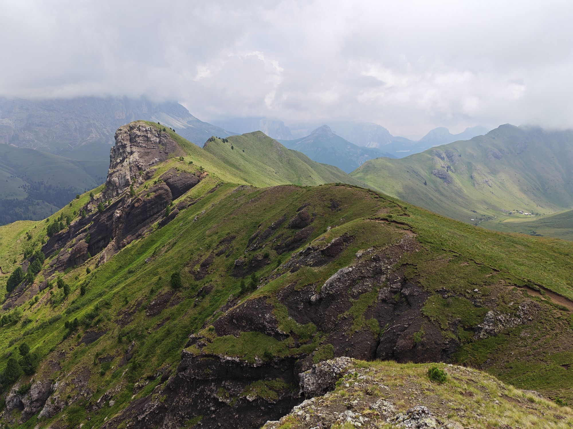
Above the meadows of Pozza, the path winds its way towards Pera, poised between the woodland above and the open fields below. The walk is gentle and the views wide and open: to the north-east, the ridges...
Above the meadows of Pozza, the path winds its way towards Pera, poised between the woodland above and the open fields below. The walk is gentle and the views wide and open: to the north-east, the ridges of Costabella and the Valacia Group rise into view, silent guardians of a landscape rich in memory. Until the 1950s, the meadows that give the trail its name were cultivated fields of barley, rye and potatoes. The land was divided into small, fragmented plots that became increasingly subdivided over the generations. In Ladin tradition - unlike the system of the closed farmstead - property was shared equally among all heirs. With each generation, the land was divided again, and the patchwork of fields grew ever more intricate. As you walk, try to picture these slopes without footpaths, but marked by plough lines - places of hard, patient labour. Every spring, the soil that winter had washed downhill had to be carried back up: wooden wheelbarrows pushed uphill, journey after journey. A necessary, repeated task, entrusted mainly to young people and women, while many of the men migrated elsewhere for work during the warmer months. Today the landscape feels peaceful and open. Yet beneath the grass lie stories of resilience, ingenuity and quiet strength.

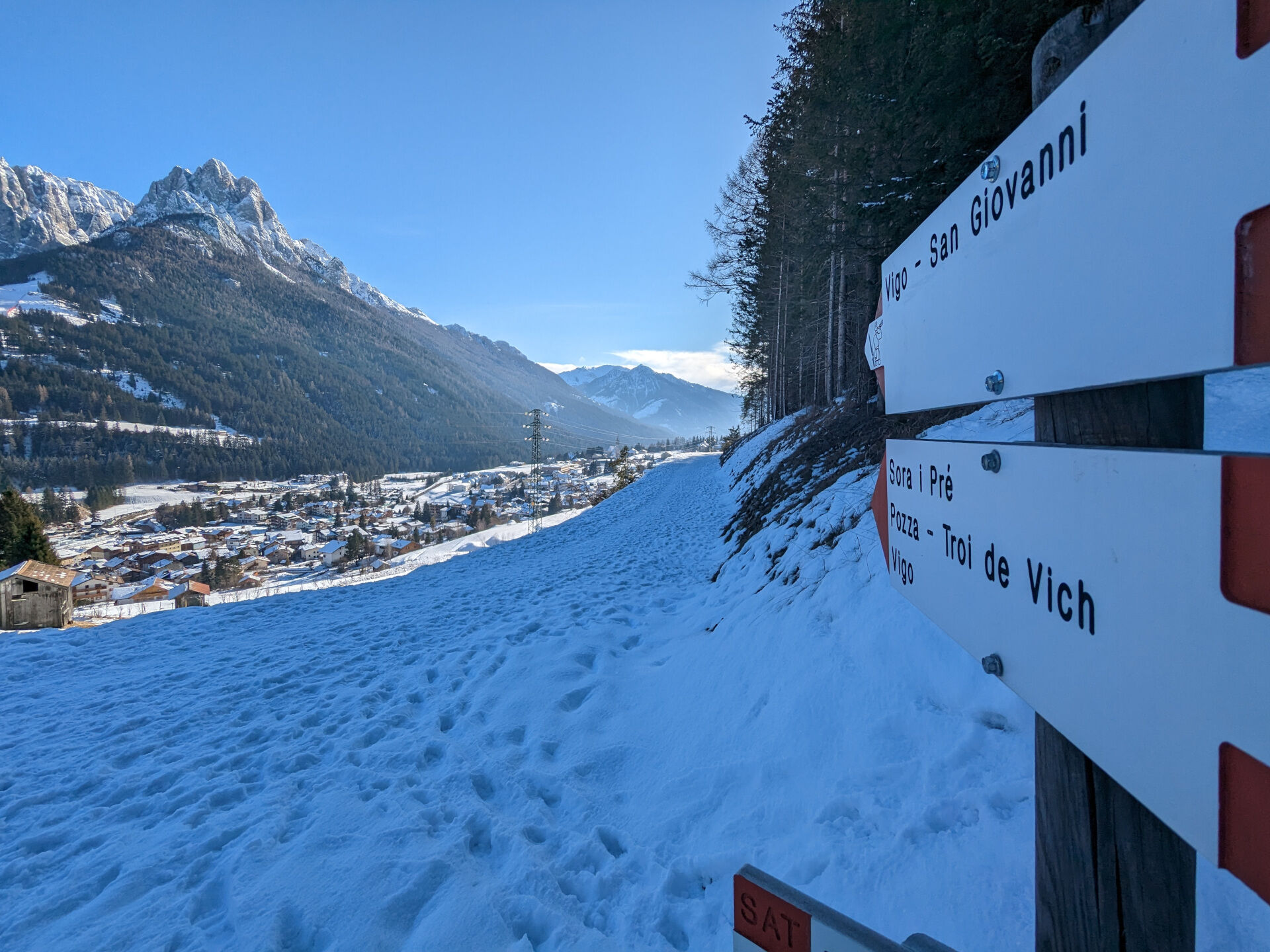
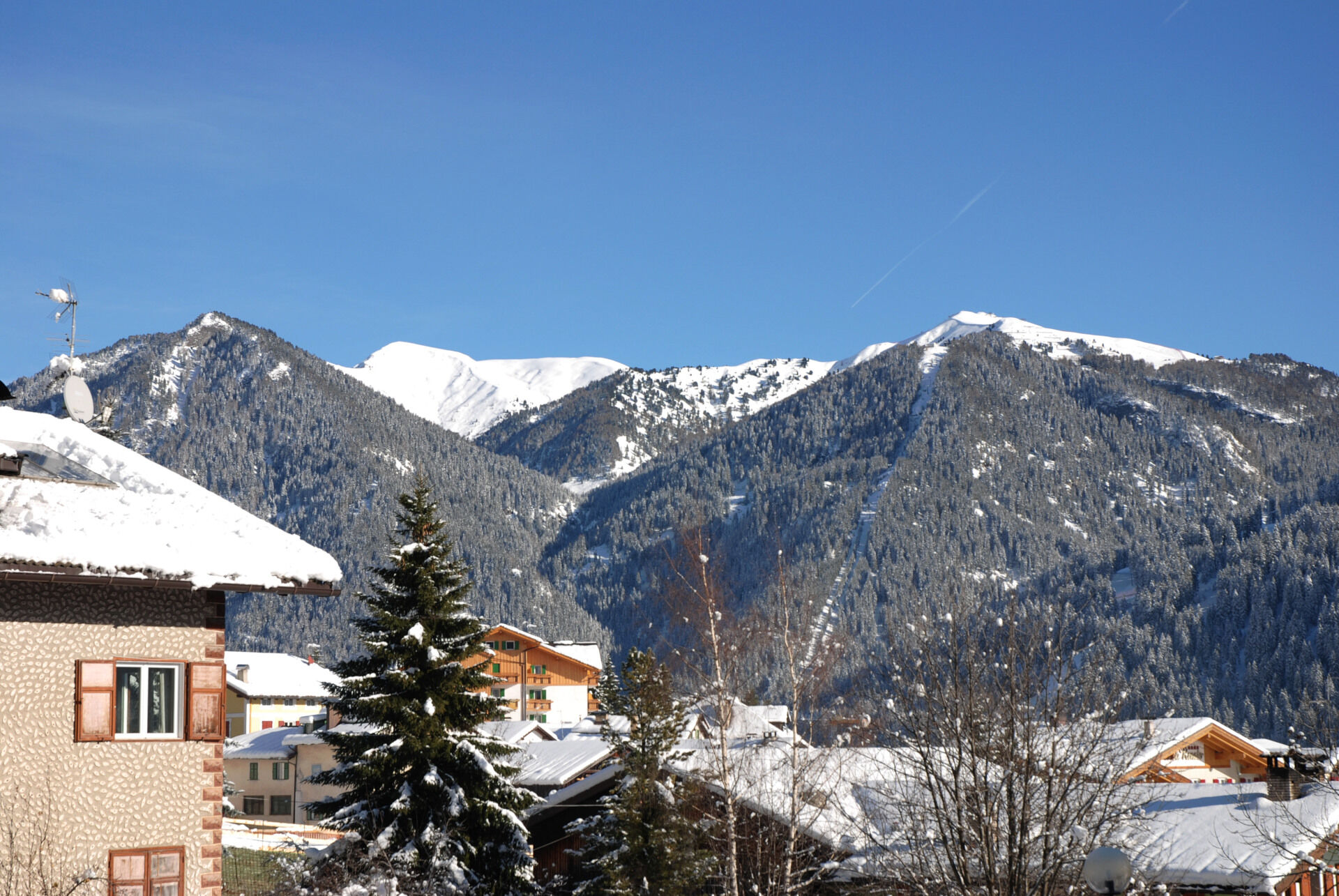
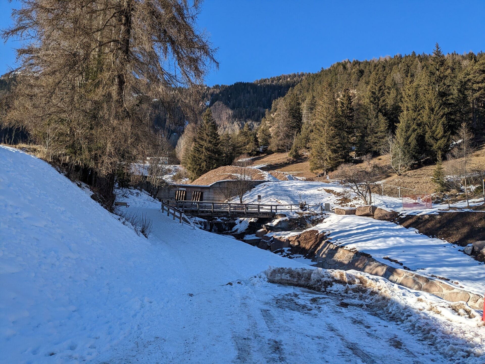
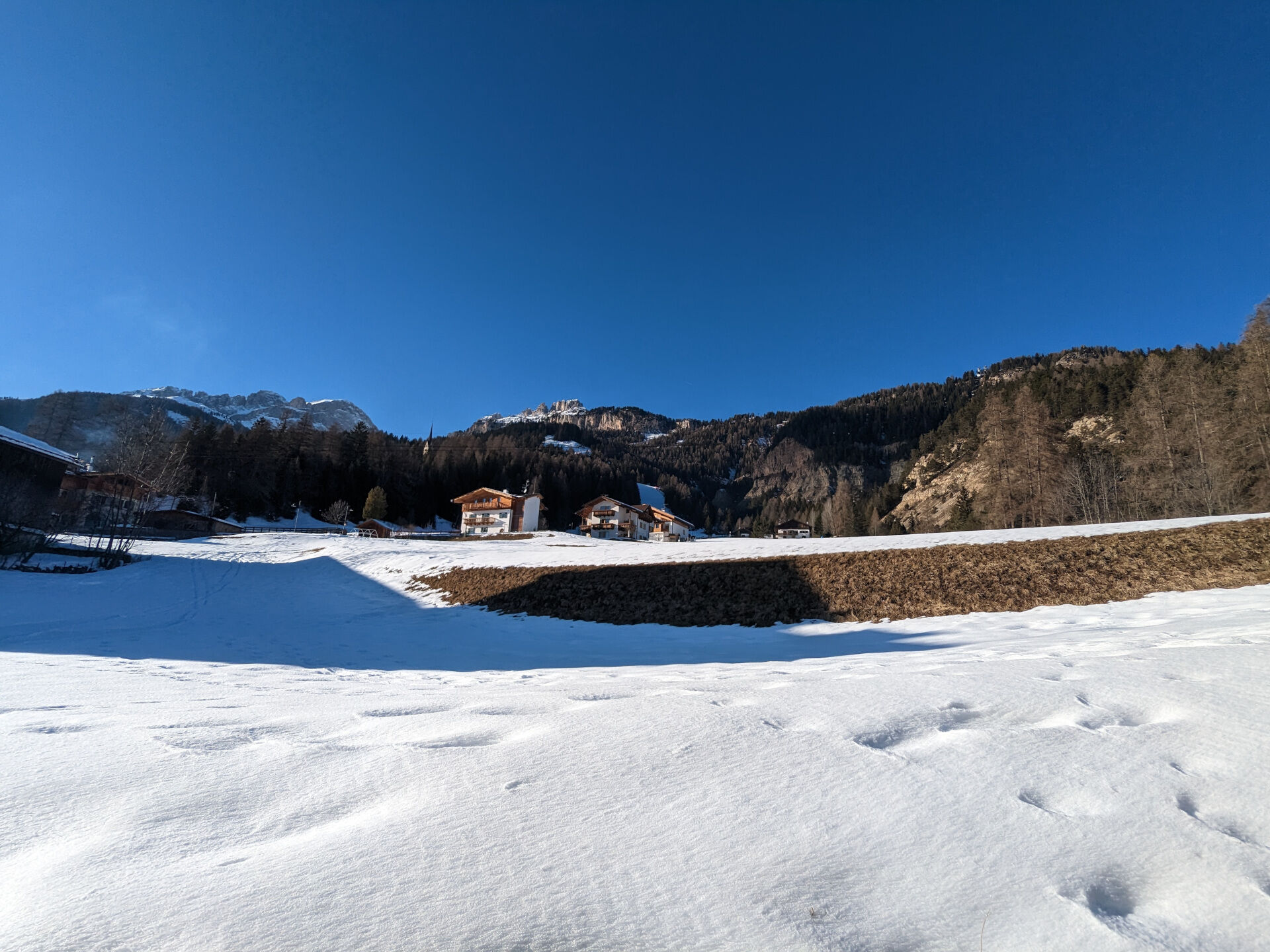
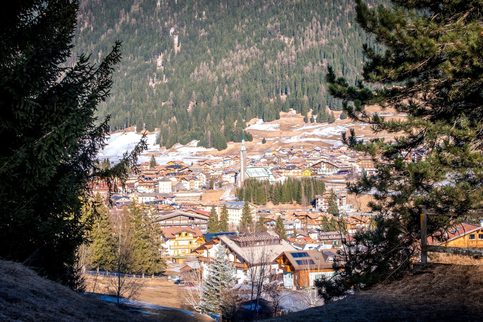
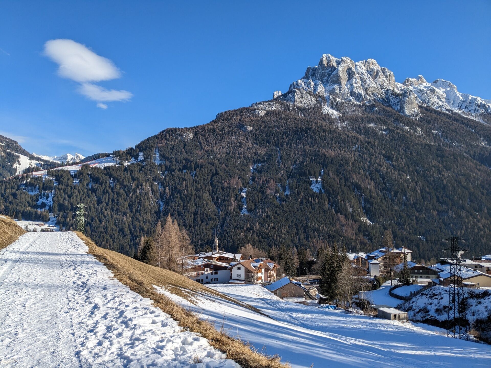
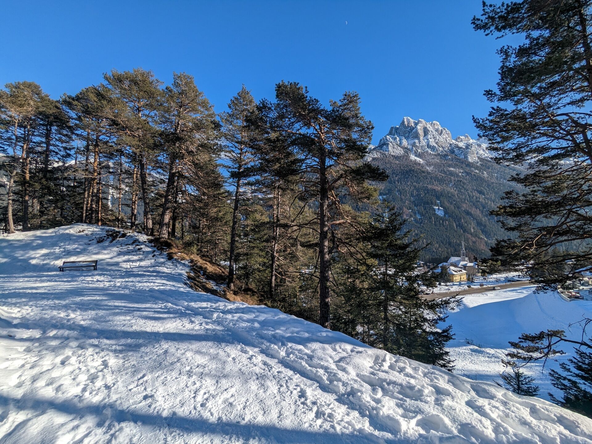
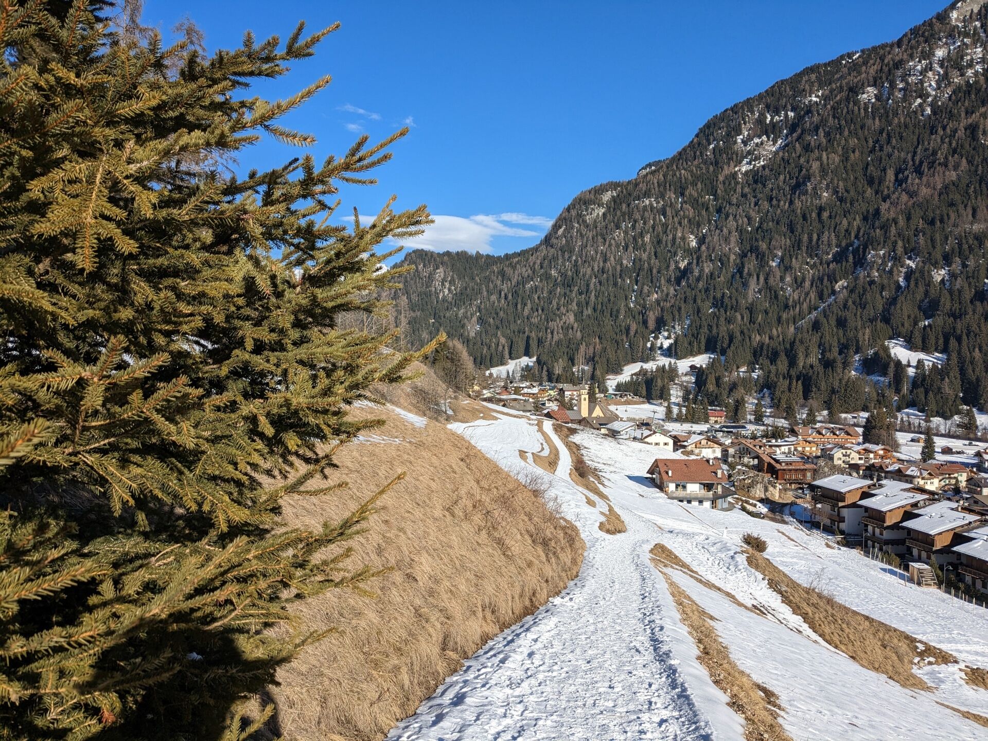
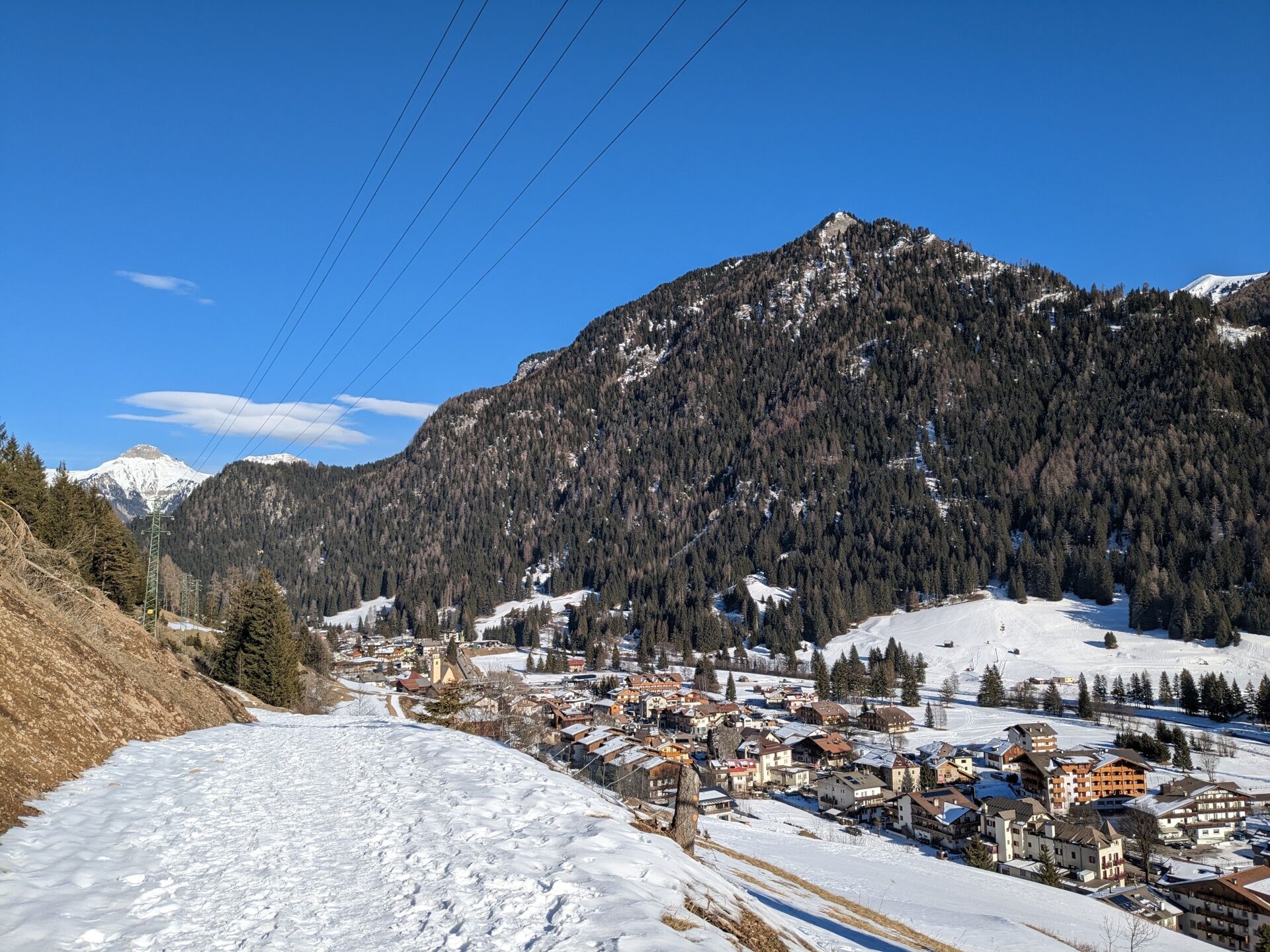
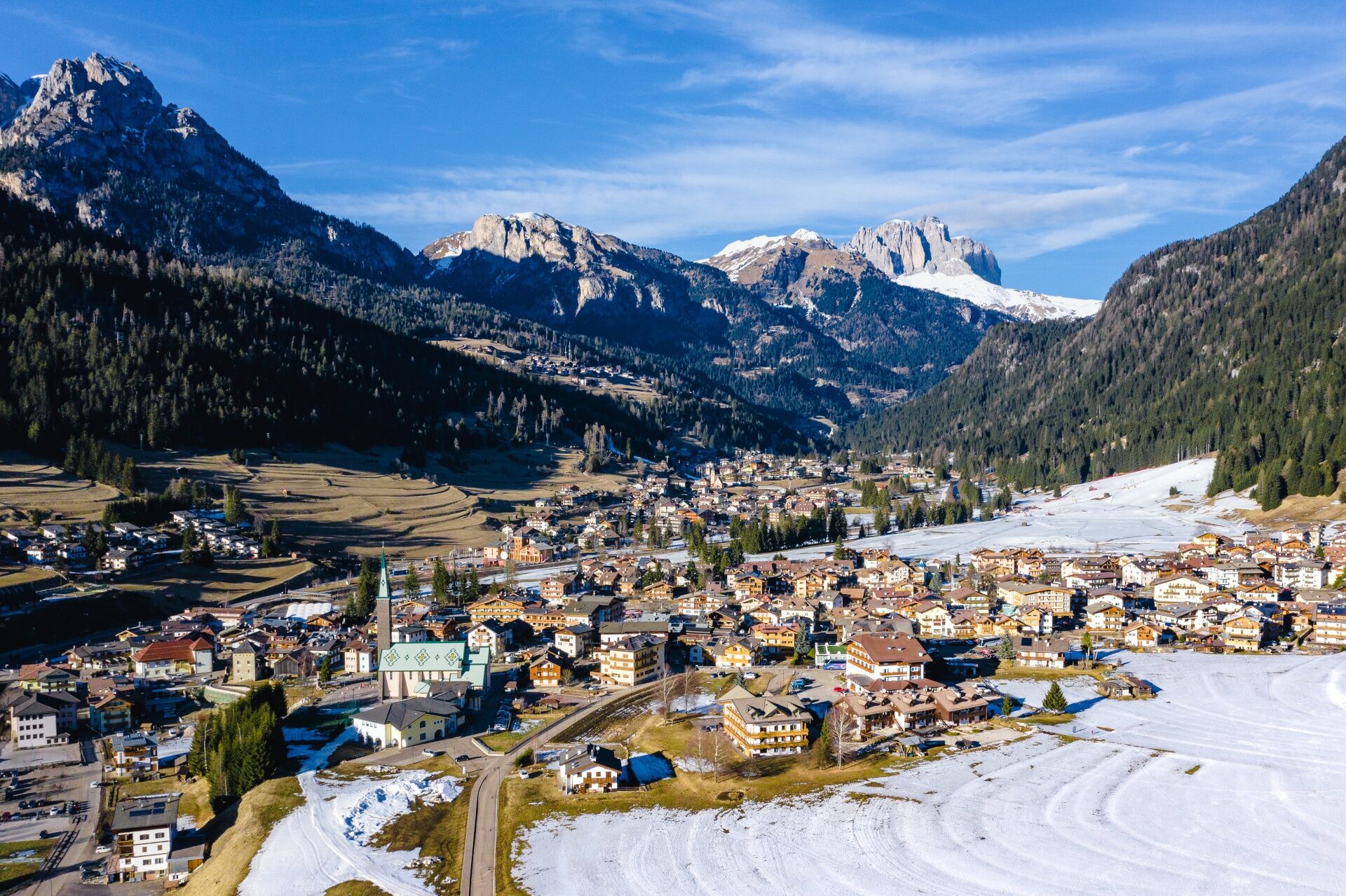
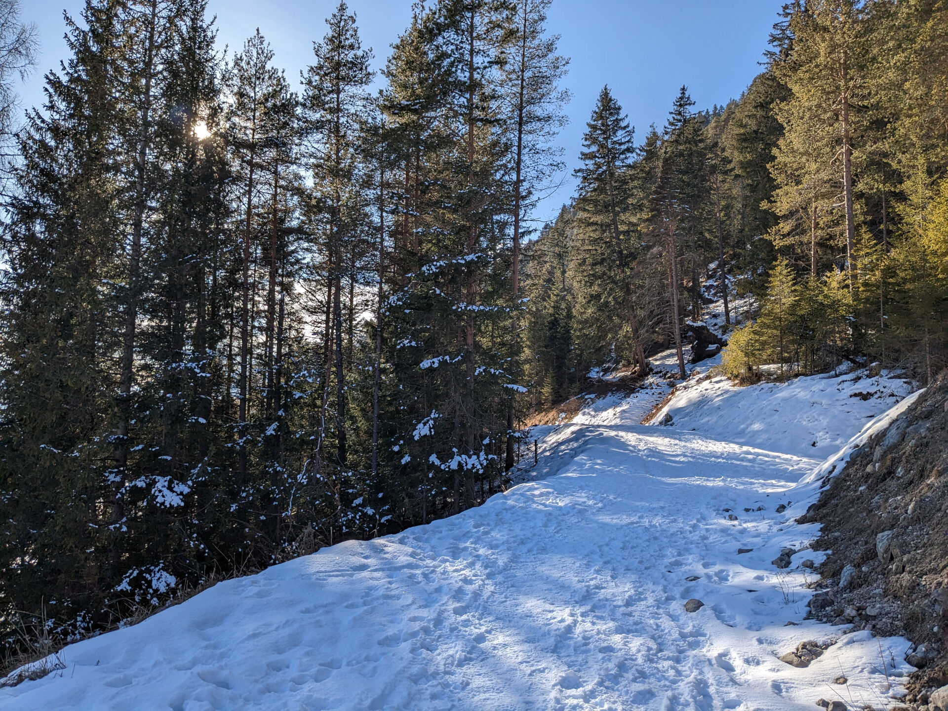
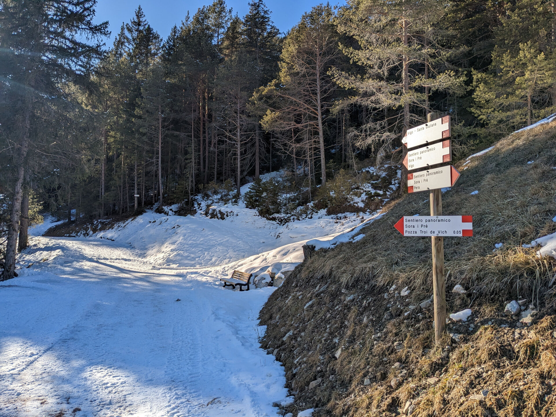
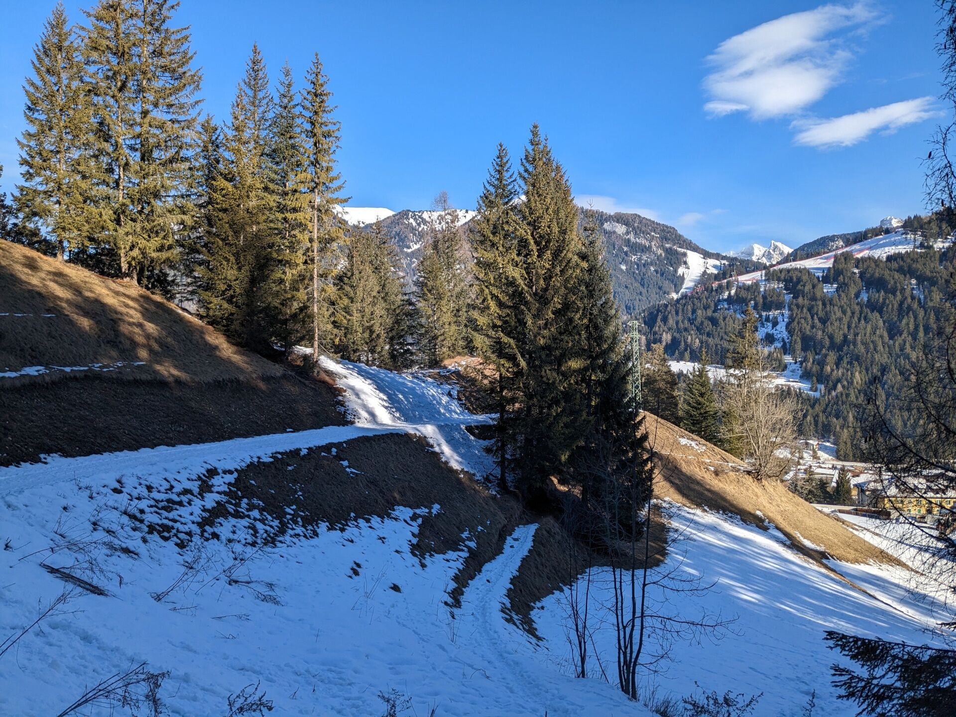
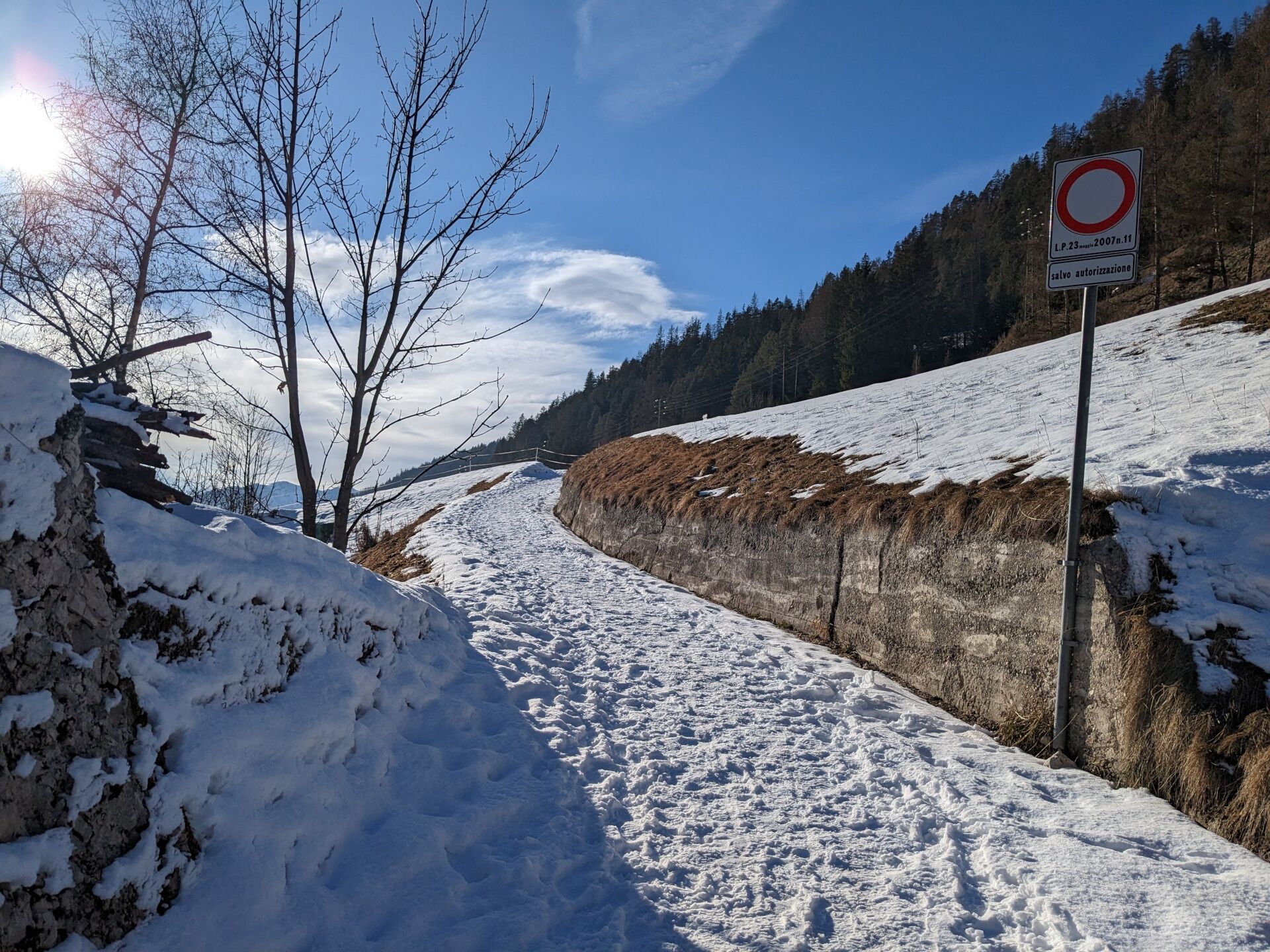
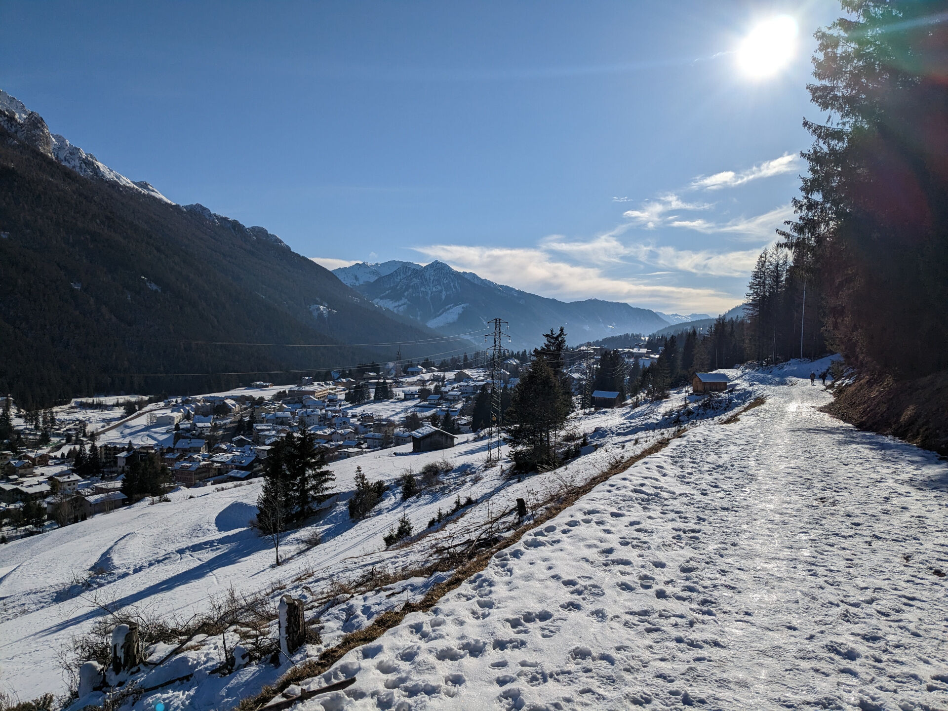
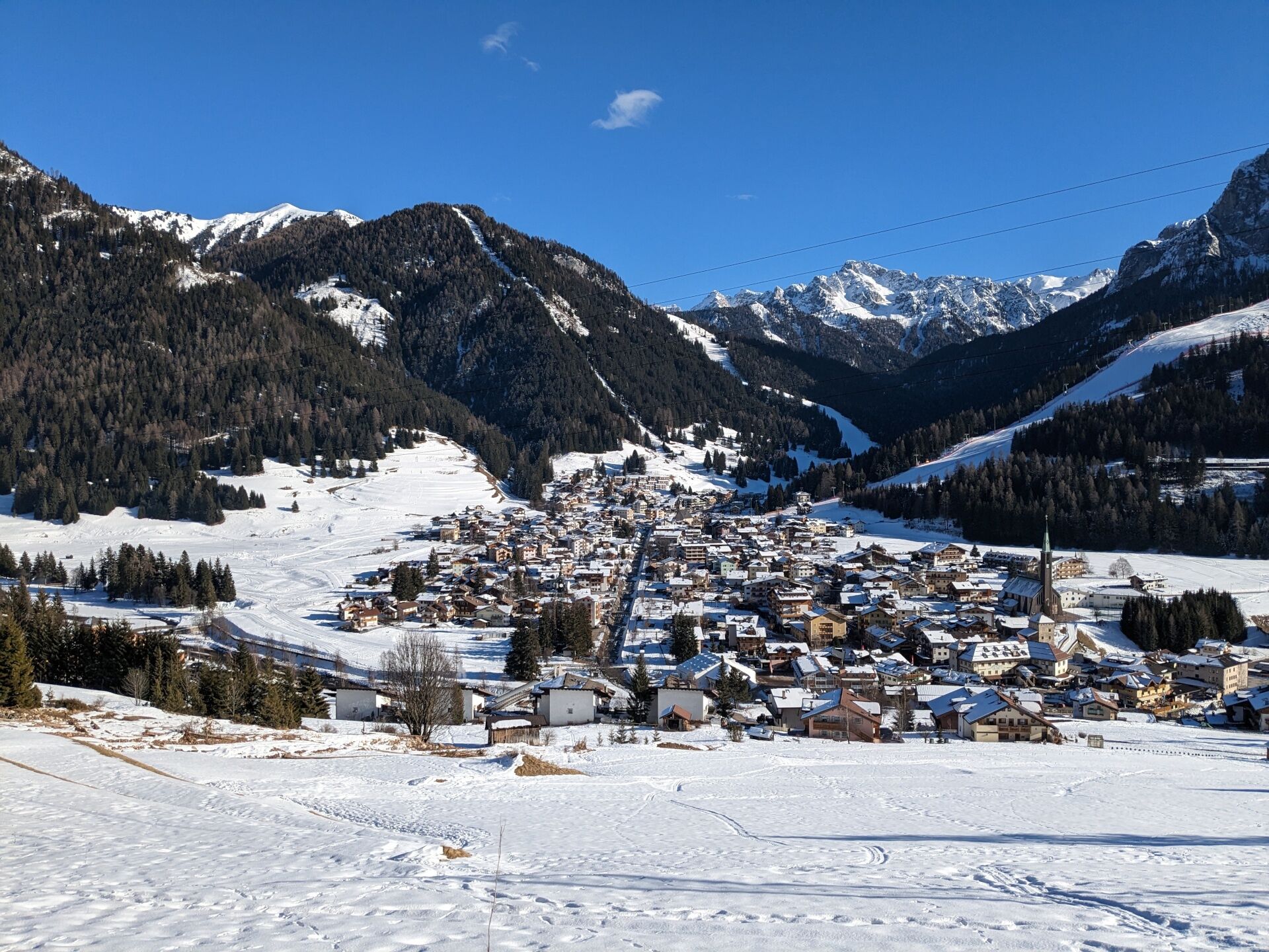
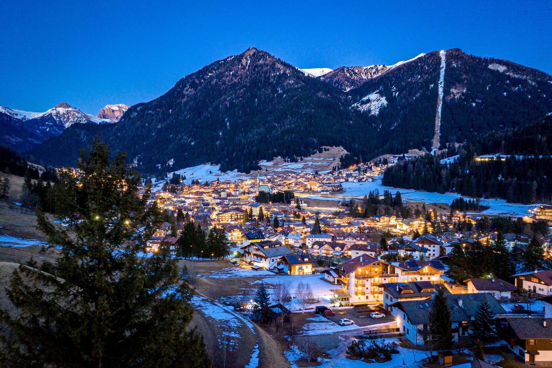
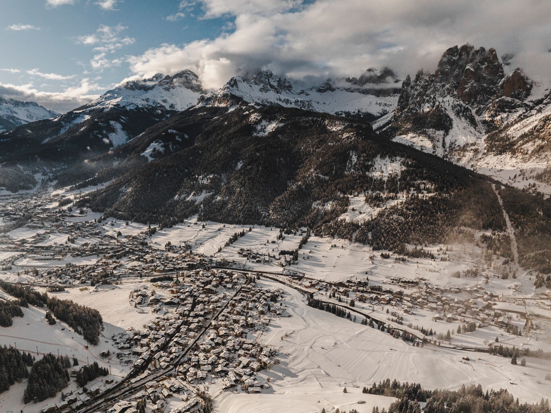
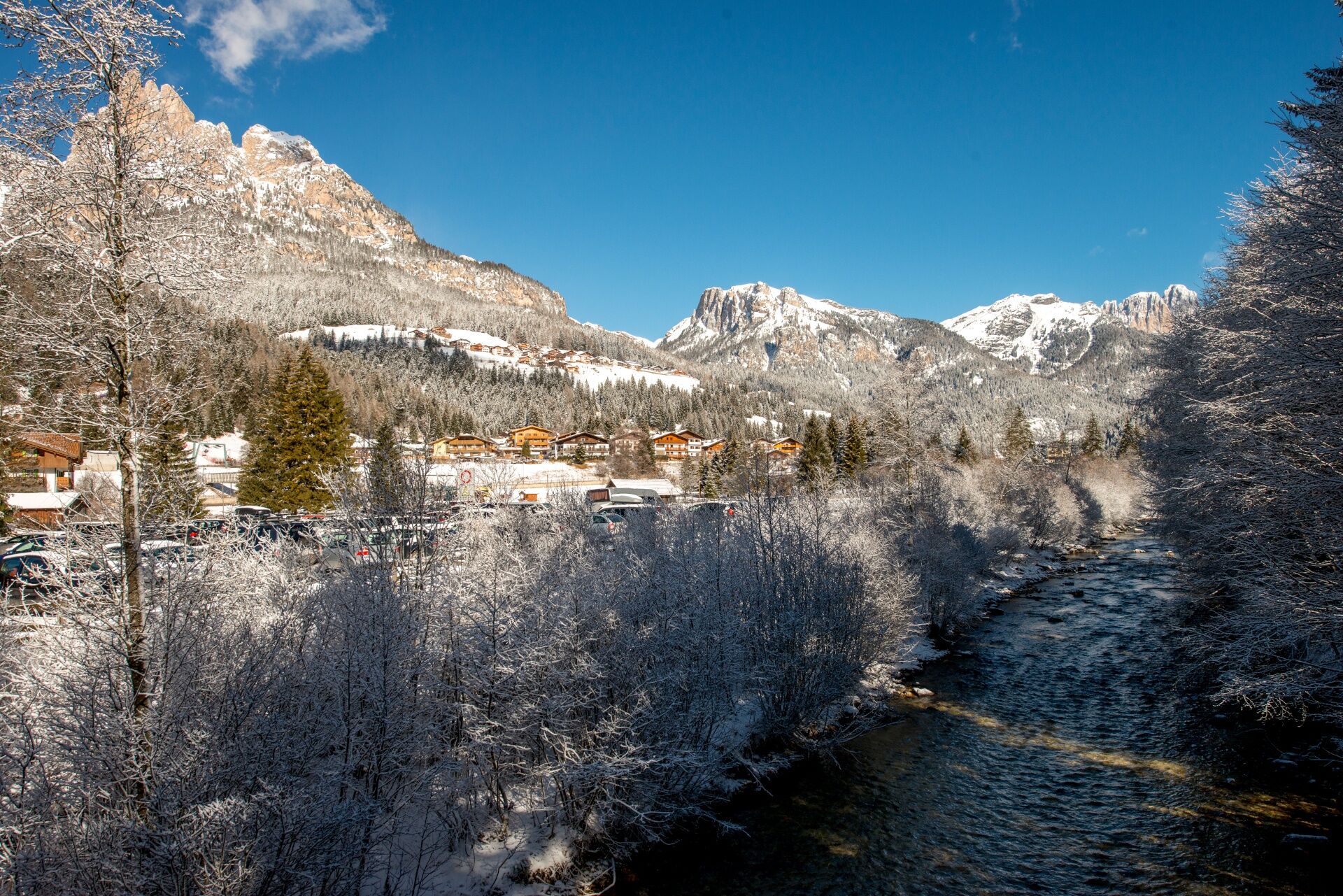
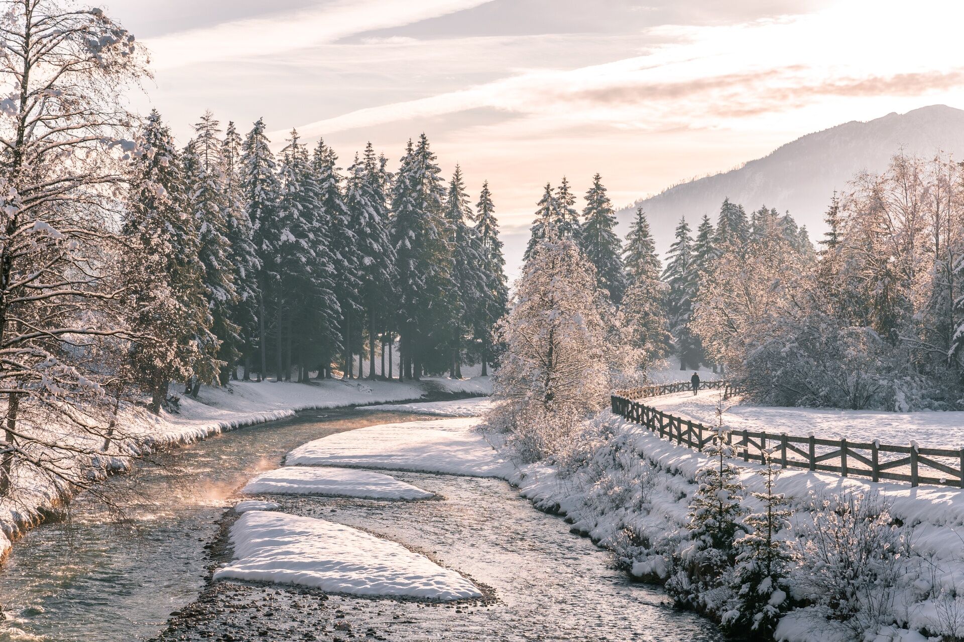

This winter walk links the villages of Vigo, Pozza and Pera, following the lower slopes of Ciampedie between the forest edge and the meadows of Sorapoza. Along the way you'll alternate easy, level stretches with gentle climbs and descents, crossing a few shallow dips in the terrain. The route is mostly shaded and features several picnic areas with tables and benches, set in the most open, scenic spots.
From the centre of Vigo, walk uphill along Strada de Piz and turn right near a covered fountain. A little further on, cross the Ruf de Pantl stream and continue on a comfortable dirt forest road with lovely views of the peaks above Pozza. The path then runs above the village before descending gradually across the meadows, reaching the first houses of Pera at Strada de la Taboca. From here, head uphill on Strada Tita Piaz, which crosses the entire hamlet towards the mountainside. At the junction, turn right onto Strada Ciadenac and descend to the main road. Cross the road and follow Strada Jumela. Before the bridge over the Avisio, turn right and take the cycle and footpath that runs alongside the Avisio. Keep going until you reach the covered bridge on your left: cross it, then follow the path to a second footbridge. After crossing, turn right to join Strada Promenada Enlongia Ruf. Cross Strada di Meida and continue along Strada di Bagnes, passing the tourist office and then the QC Terme and Terme Dolomia. After the municipal water treatment plant, cross the footbridge over the Avisio and walk uphill on Strada de Pala Verda back to the main road. Cross the road again and, directly opposite, take the small lane that follows the boundary wall of the Pieve of San Giovanni. To return to your starting point, follow Strada Antersief, then Strada Roma and Strada Rezia.
Alternatives
From Pera or Pozza, you can return to Vigo by public transport (Trentino Trasporti) or by ski bus. Once you reach the main road in Pera, you can also walk towards the centre of Pozza; from the Meida roundabout, return to Vigo via Strada Dolomites, Troi de Vich, Strada de Troi de Vich (Minigolf Panorama), Strada Roma and Strada Rezia.You can also start the walk from Pozza or Pera.
Tak
Periodic maintenance and inspection of the trails will be provided, especially after snowfall. It is recommended to always pay close attention to the type of terrain, as icy and slippery sections cannot be ruled out. It is also recommended to always be properly equipped. Walking times are approximate only, and it is important to consider that walking on snow is much more strenuous than walking without it.
2. Inform someone about your planned itinerary, return time and possible changes.
3. Plan your outings with others and, when possible, rely on a mountain professional.
4. Bring avalanche rescue equipment (beacon, shovel and probe) with you, practise using it regularly and do a group test before setting off.
5. Make sure you have suitable clothing and equipment (poles, crampons, water, snacks, etc.).
6. Always keep your pet on a leash.
7. Constantly and carefully assess the conditions of the route and your mental, physical and technical abilities. If in doubt, turn back.
8. Do not cross ski slopes, either downhill or cross-country.
9. Respect the environment around you and take your rubbish back down to the valley.
10. Help those in need. In case of real need and for emergencies, call 112.
Other access routes to Val di Fassa
From the A27 motorway (Venice), Belluno/Ponte nelle Alpi exit: SS 203 to Agordo, then SP 346 over Passo San Pellegrino to Moena (Val di Fassa). From the Moena bypass, continue towards Canazei From the A27 motorway (Venice), Belluno/Ponte nelle Alpi exit: SS 203 to Agordo/Alleghe/Rocca Pietore, then SP 641 over Passo Fedaia to Canazei From Arabba: SS 48 over Passo Pordoi to Canazei From Val Gardena: SS 242 over Passo Sella to Canazeisüdtirolmobil bus lines - Val di Fassa
Line 180: Vigo di Fassa - Passo Carezza - Bolzano- Nearest bus stop (Trentino Trasporti/südtirolmobil): Vigo di Fassa > Strada Rezia/Hotel Carpe Diem
- Nearest ski bus stop: Vigo di Fassa > Strada Roma/Hotel Dolasilla
Free or paid parking spaces in the vicinity of the ski lifts.
3
Strèda Roma, 36
38032 Canazei (TN)
Phone +39 0462 609500
info@fassa.com
www.fassa.com
Les sentiers balisés ne sont battus que par le passage des randonneurs et ne font pas l'objet d'un entretien ou d'un battage mécanique. De plus, il n'y a pas de balisage spécifique le long de l'itinéraire.
Nous vous recommandons de toujours faire attention au sol, qui peut être glacé ou glissant, en particulier dans les zones ombragées.
Uzyskaj wgląd
Zawsze na żywo z ponad 9 500 kamer internetowych. bergfex Jako użytkownik Pro, możesz teraz zobaczyć odpowiednie kamery internetowe dla wielu wycieczek w aplikacji wycieczki od. Pozwala to na bezpośredni podgląd aktualnych warunków.
Popularne wycieczki w okolicy
-
4,8
Torre di Pisa mountain hut
średniWędrówka 9,09 km -
4,8
Pordoi Pass - Sass Pordoi - Forcella Pordoi - Piz Boè - Boè Refuge - Forcella Pordoi - Pordoi Pass
ciężkiWędrówka 8,39 km -
5,0
Langkofel Klettersteig/Ferrata Furcela de Saslonch
ciężkiVia ferrata 7,07 km -
5,0
Um den Langkofel
średniWędrówka 9,76 km -
4,0
Der Friedrich-August-Weg
średniWędrówka 10,4 km -
4,9
Lang- und Plattkofel Umrundung
średniWędrówka 17,5 km -
4,9
Santnerpass Klettersteig
średniVia ferrata 8,29 km -
4,8
Schlern Bersteigung
średniWędrówka 19,1 km -
4,8
Langkofel-Umrundung
średniWędrówka 12,9 km -
4,4
Viel dal pan
światłoWędrówka 6,60 km
Wędrówki i tropienie


Nie przegap ofert i inspiracji na następne wakacje
Twój adres e-mail została dodana do listy mailingowej.





