







Pera di Fassa - Muncion - Soal
Poziom trudności: 2
Starting from Pera di Fassa, opposite the car repair shop, turn on the left in Strada Tita Piaz. After the first very steep stretch, the slope becomes gentler. At the fourth crossroad turn in Strada de...
Starting from Pera di Fassa, opposite the car repair shop, turn on the left in Strada Tita Piaz. After the first very steep stretch, the slope becomes gentler. At the fourth crossroad turn in Strada de Rancolin. Cross the bridge and continue along Strada de Rualp, walking in the direction of "Muncion". Follow the trail. Once you reach "Muncion" on Strada de Rodel keep walking on the main road until you reach "Soal", or turn right at the crossroads and head towards the charming little church of St. Anna on Strada veia de Muncion. As an alternative, start from Pera, go up Strada de Ciadenac, and run along "Ruf de Soal" (stream). Cross the river and take Strada de Rualp. Return going back along the same itinerary. You can also go ahead till Gardeccia Refuge and Stella Alpina Spitz Piaz Refuge.
«The 14 votive chapels of the "Via Crucis" connecting the villages of Pera and "Muncion", have been built by the families of "Muncion" and "Ronch" in the years 1873 and 1874. On the 26th of April 1874, the Price-Bishop of Trento, Benedetto Riccabona de Reichenfels, gave to the priest of Fassa, Francisco Valentini, the permission of blessing them. The rite carried out on the 16th November 1875. At the end of the last century the walls were enforced and the roofs were restored thanks to the help of the Municipality of Pozza and the hamlet of Pera. In a second moment also the iron grating the of the capitals were renovated. In 2000, on the occasion of the celebration of St. Anna, some new paintings by Tullio Bernard of Pera, representing the Way of the Cross, have been donated by the population of "Muncion".» Text taken from the book "Listening to Silence" (Ascoltando il silenzio) of Circolo Rovisi; Cultural Institute of Fassa.

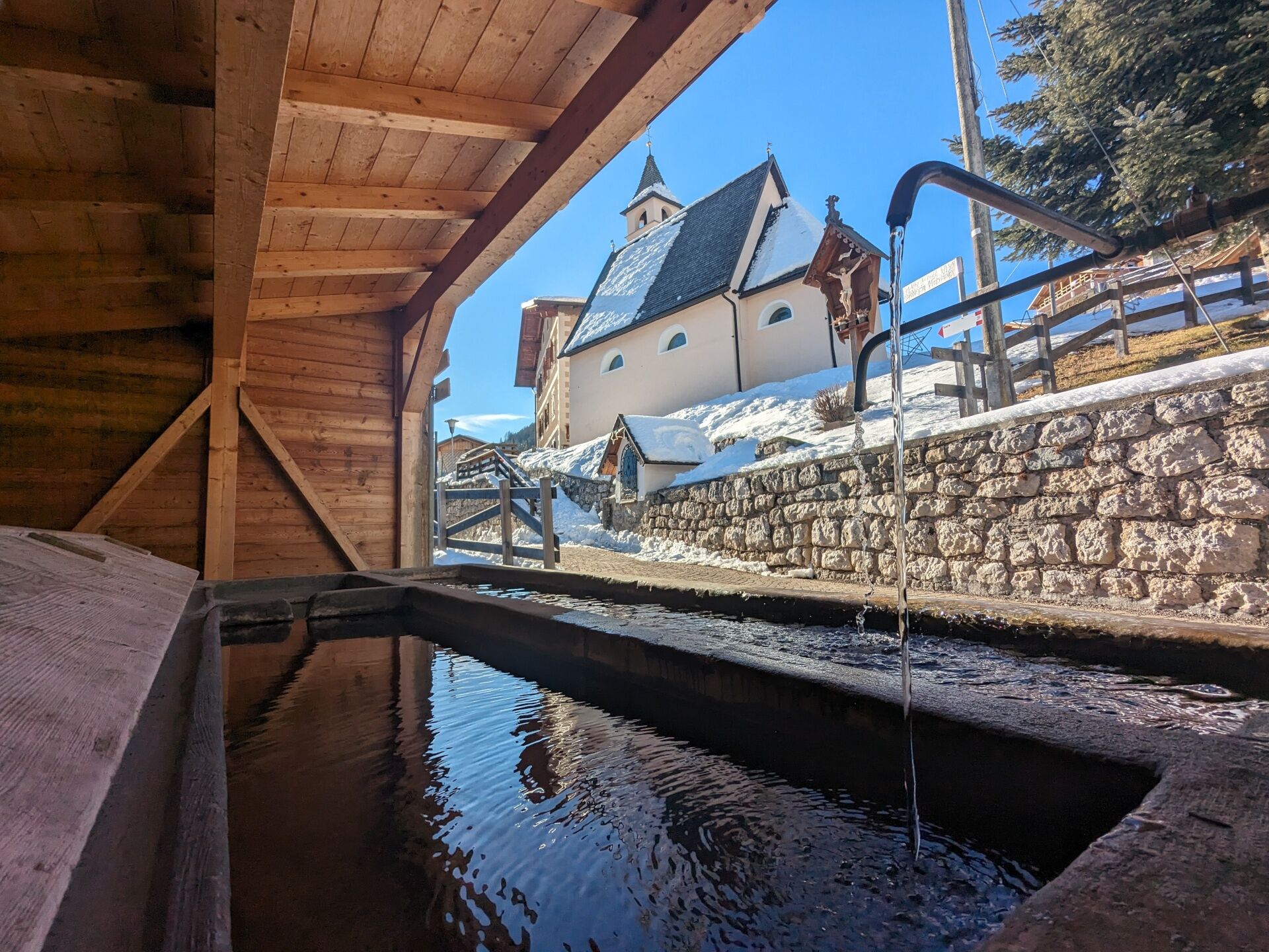
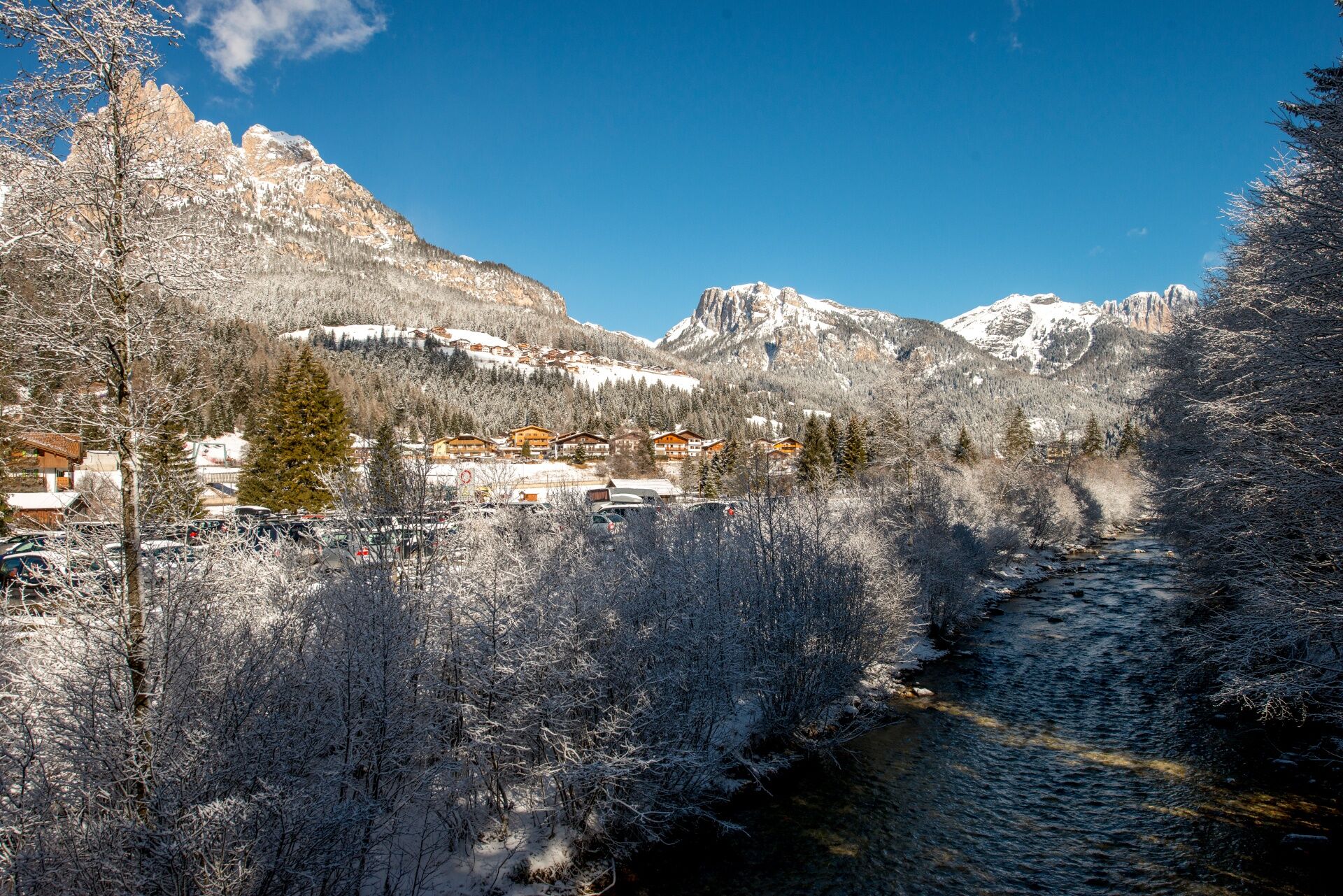
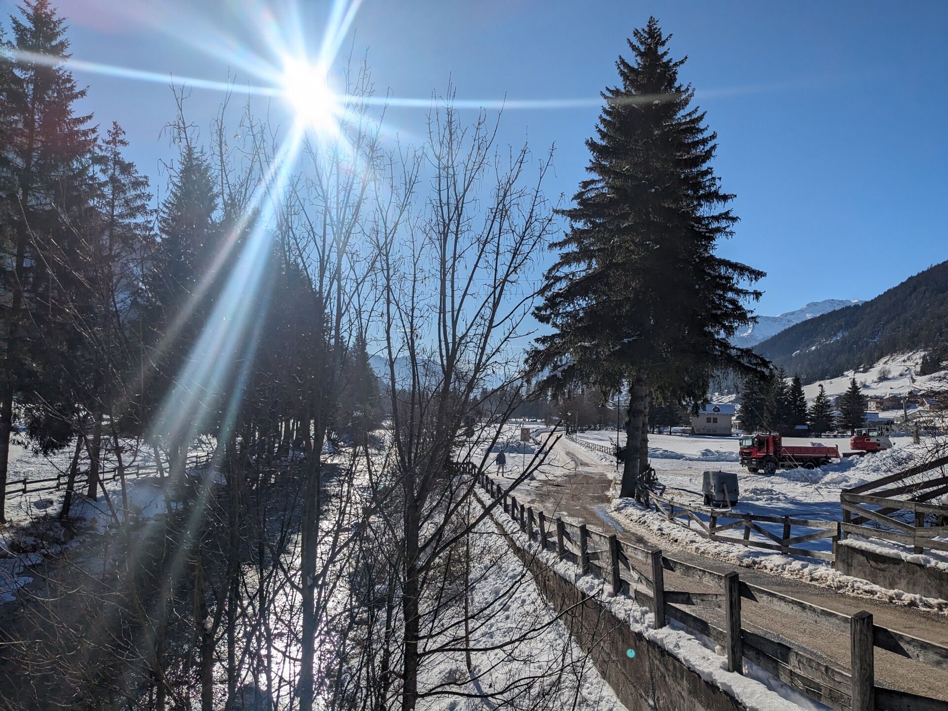
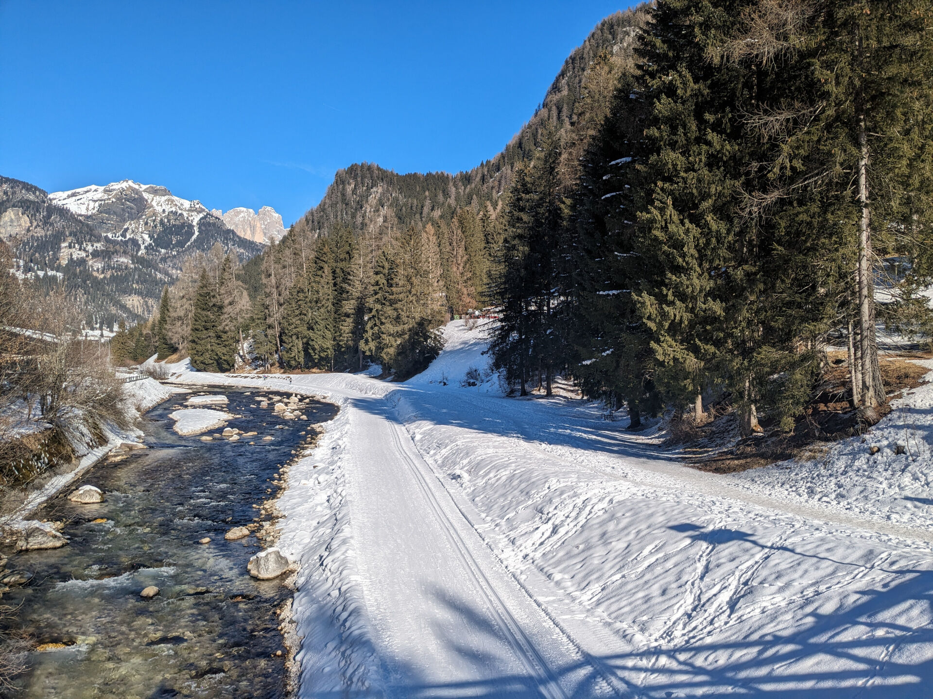
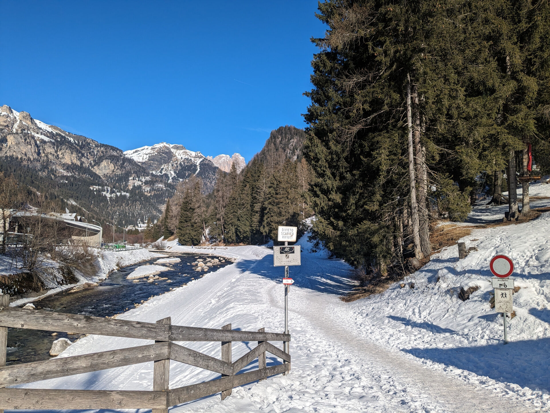
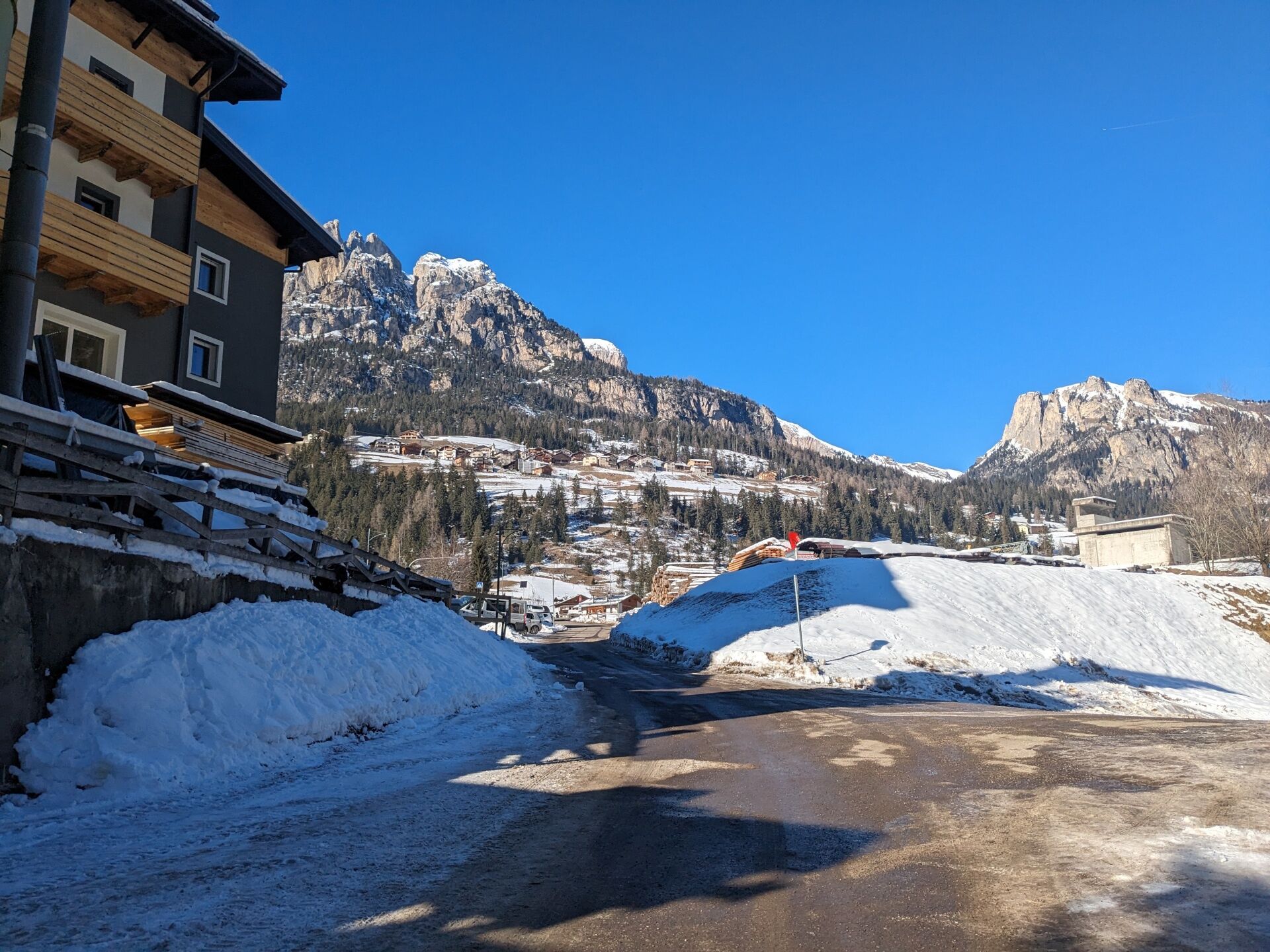
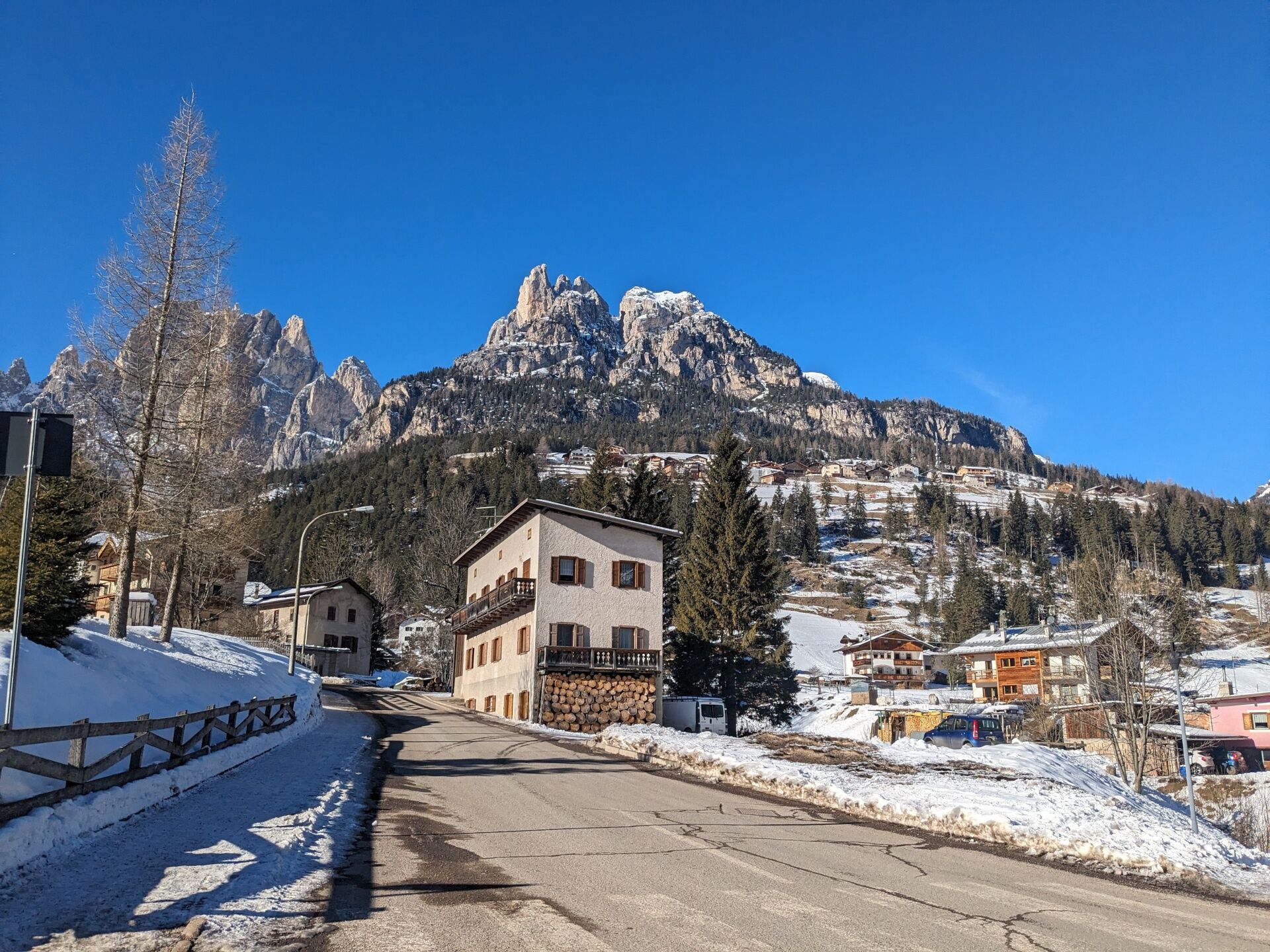
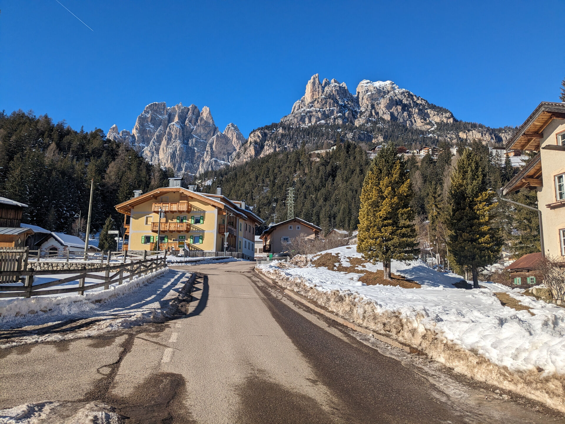
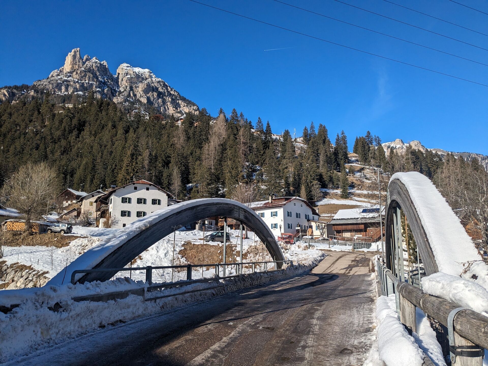
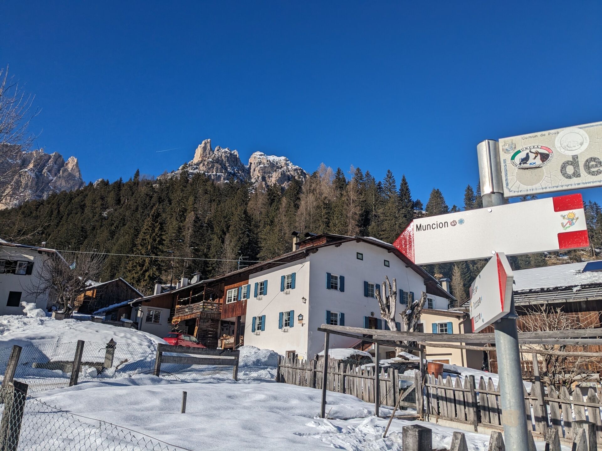
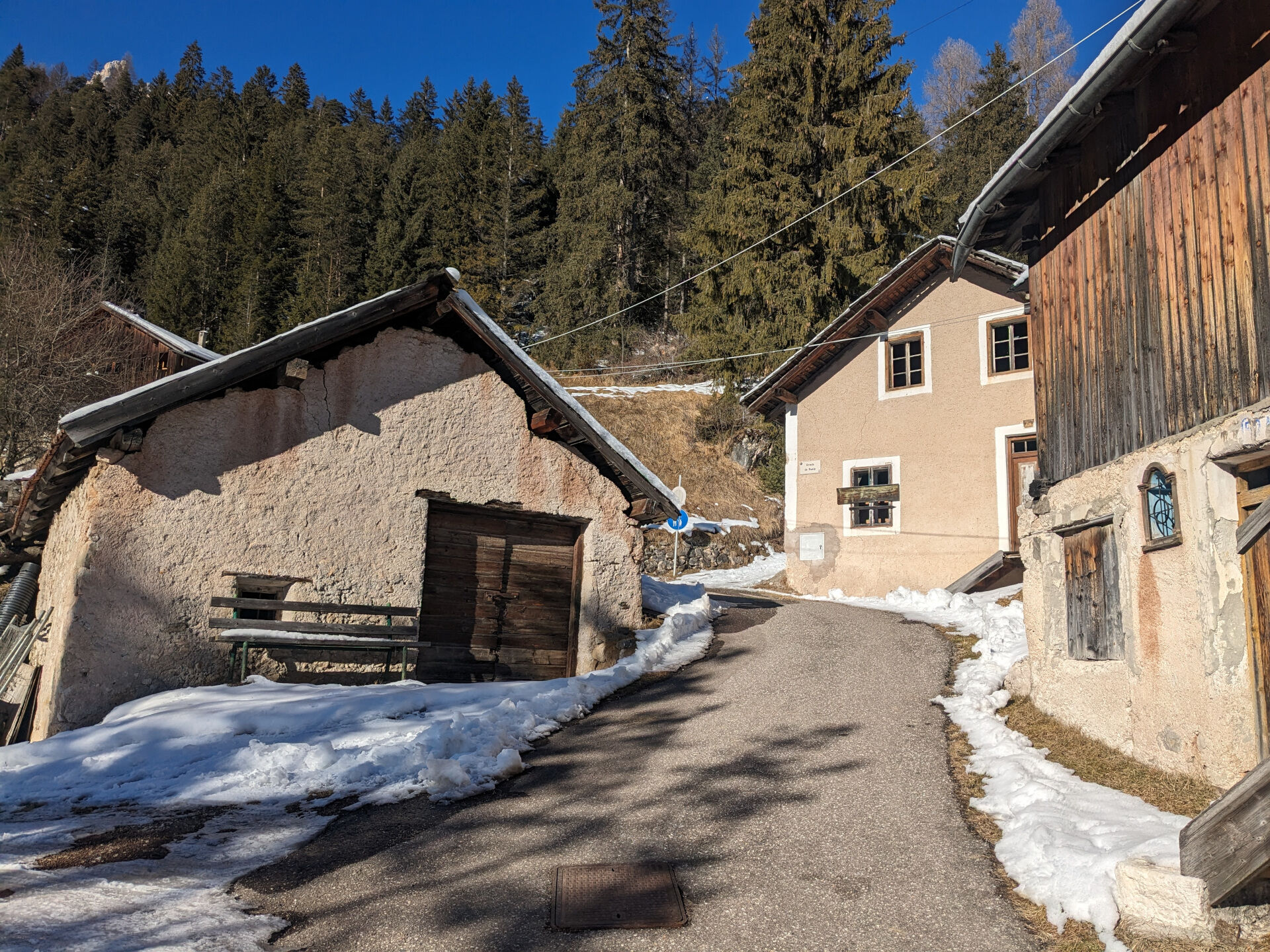
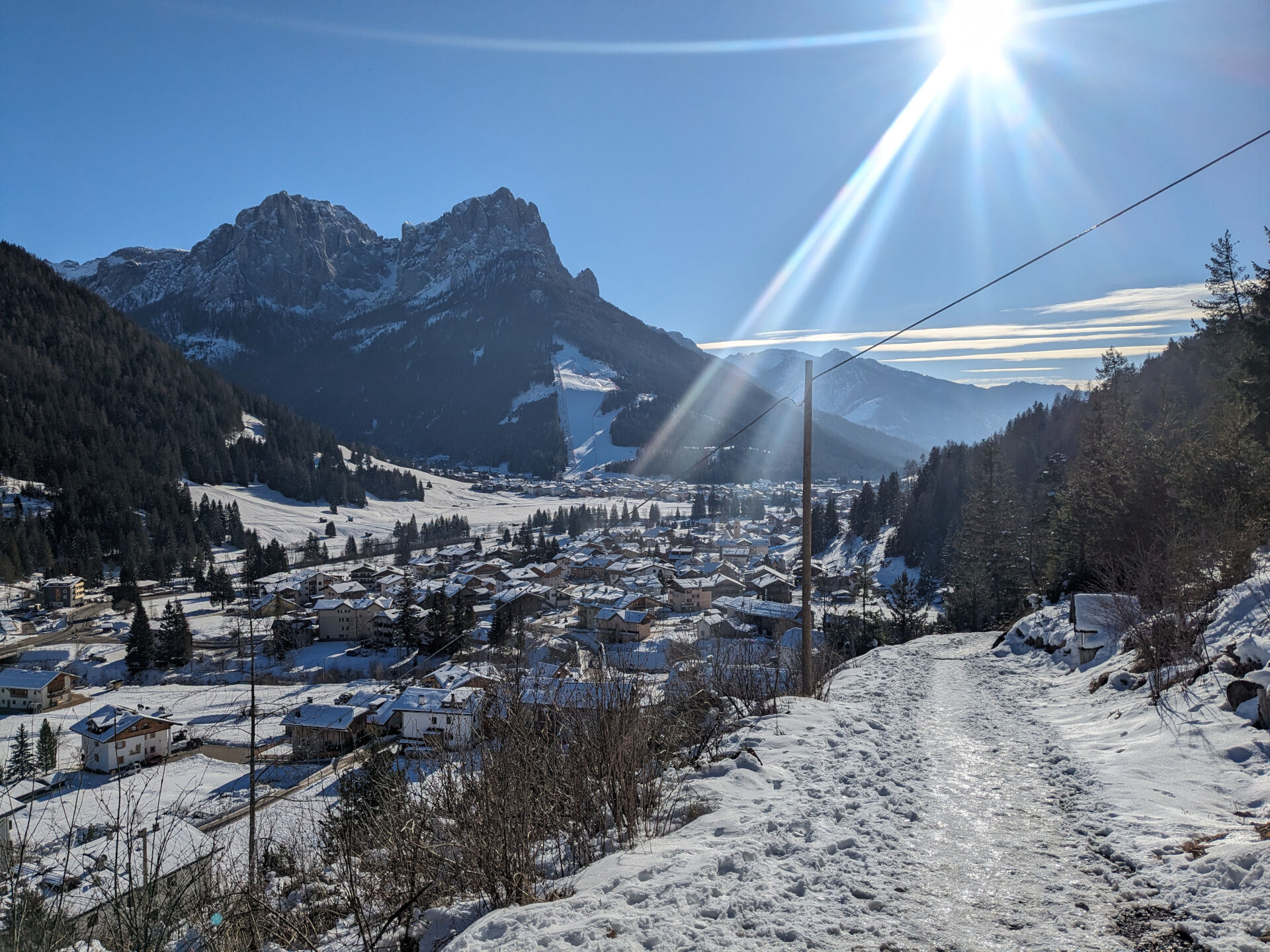
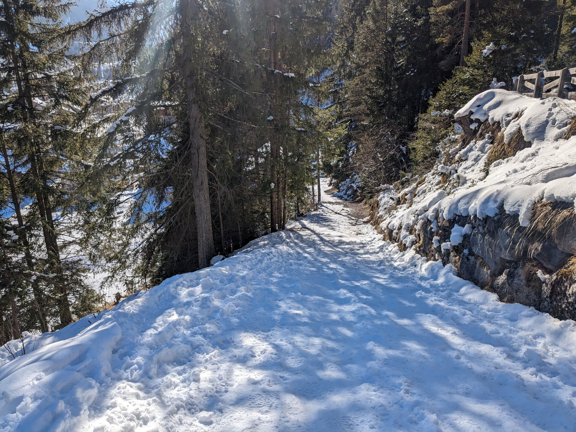
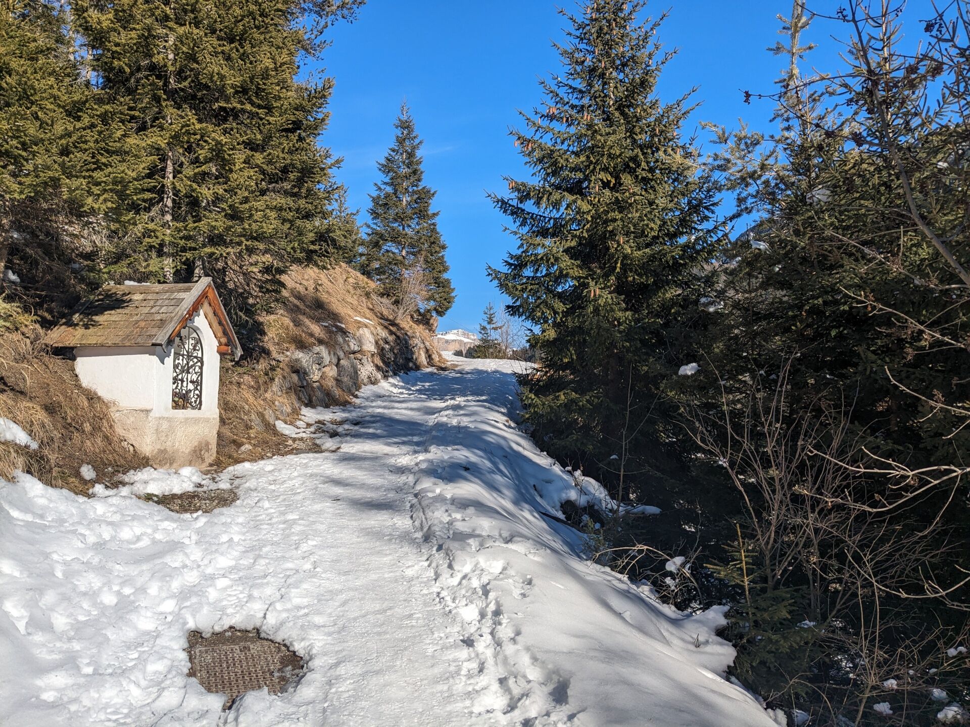
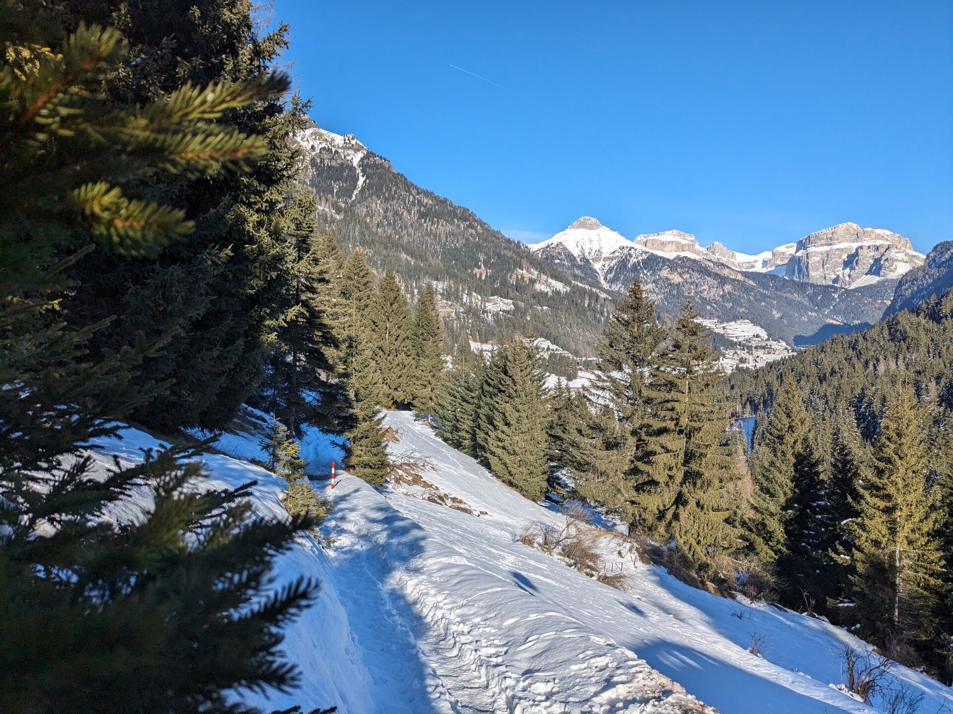
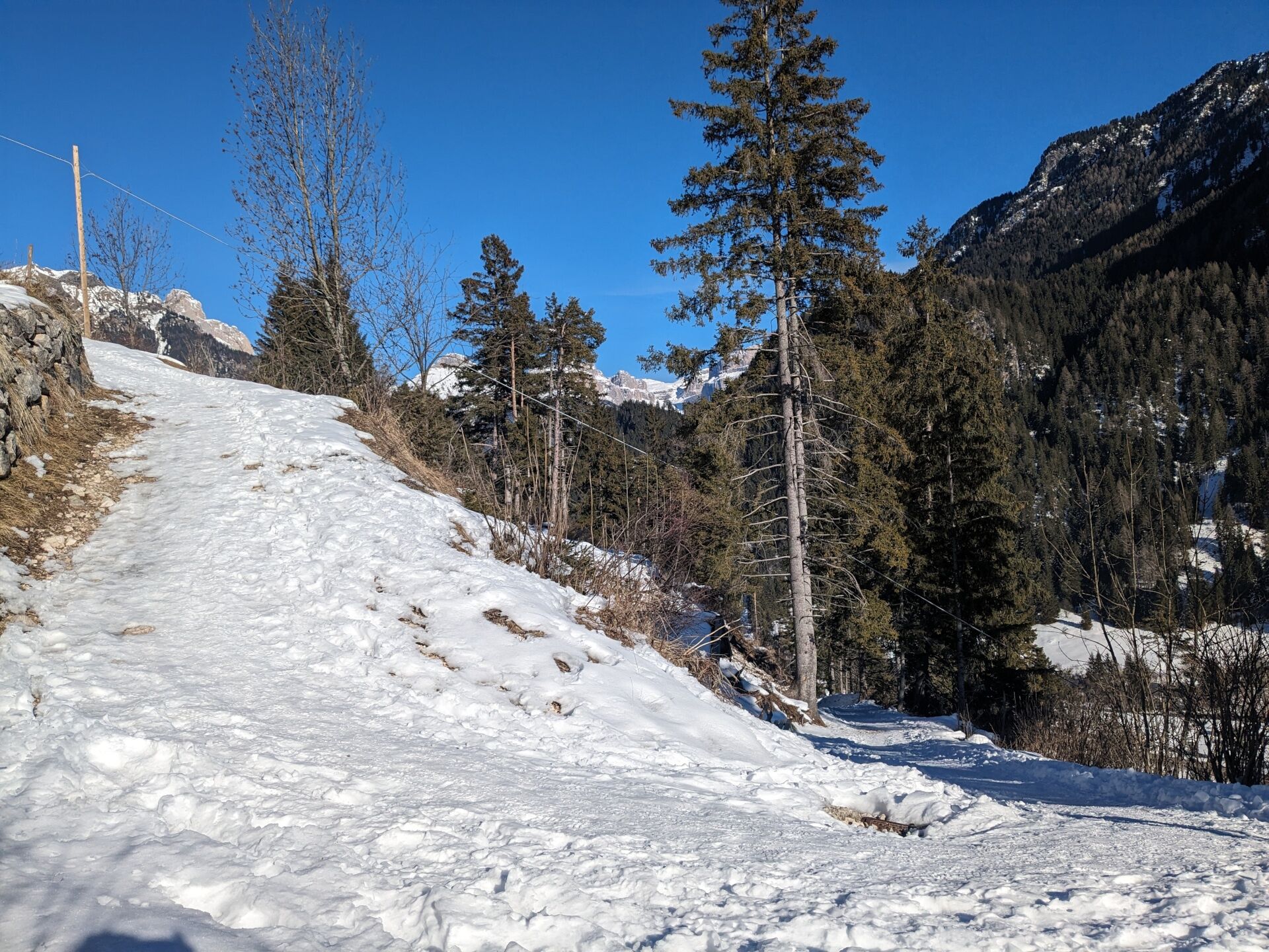
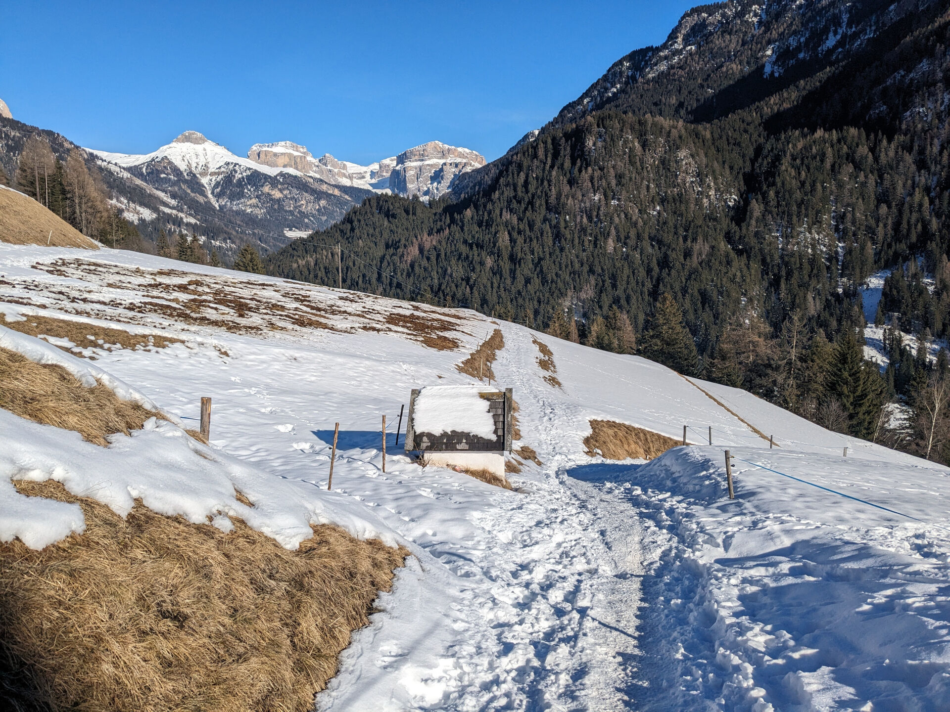
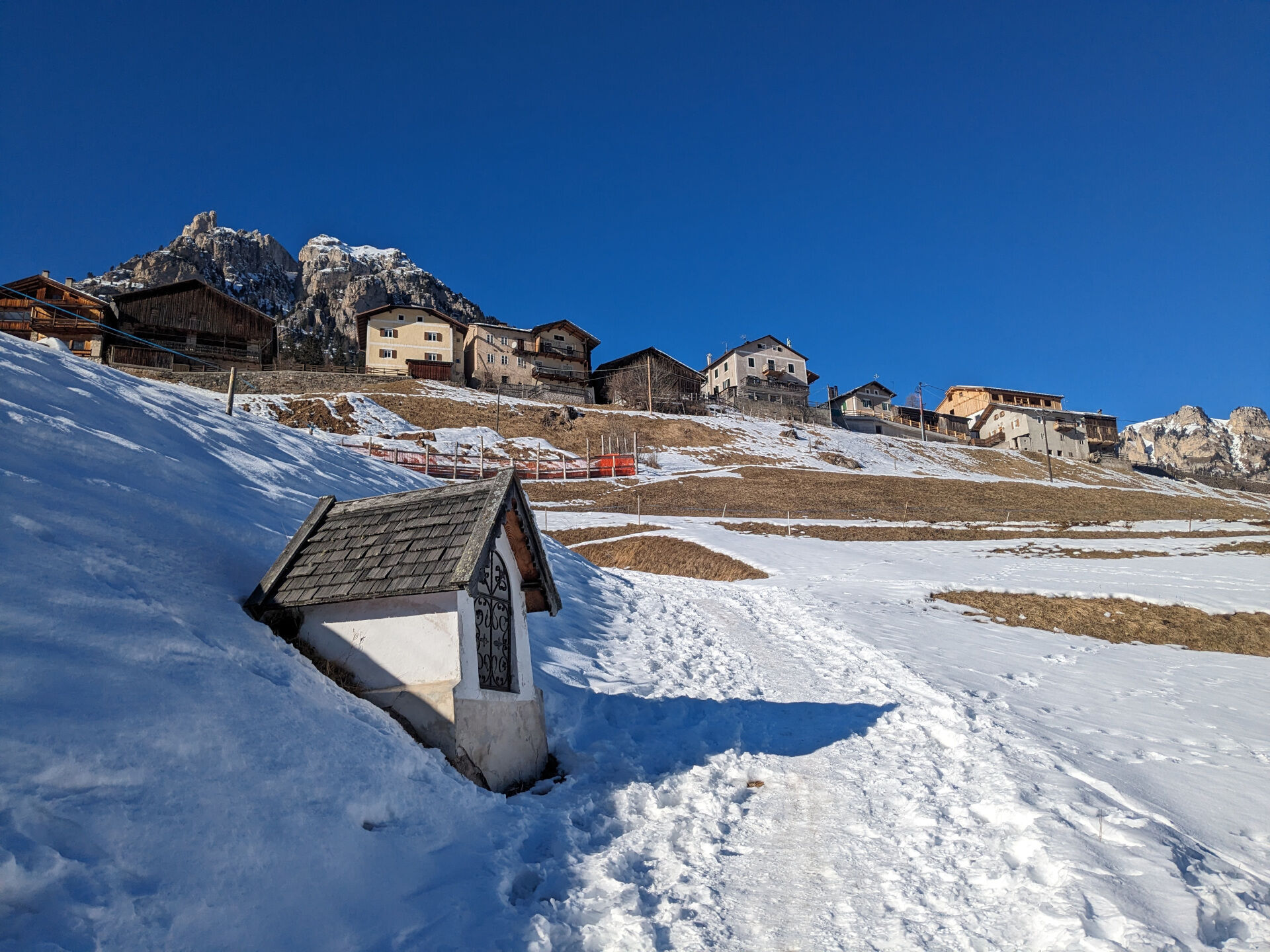
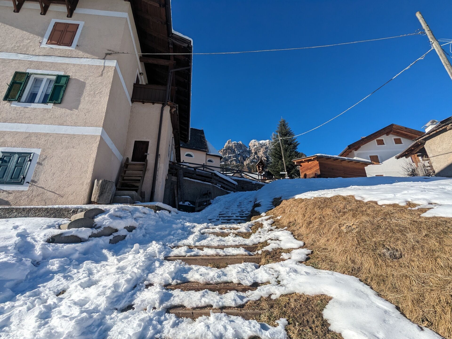
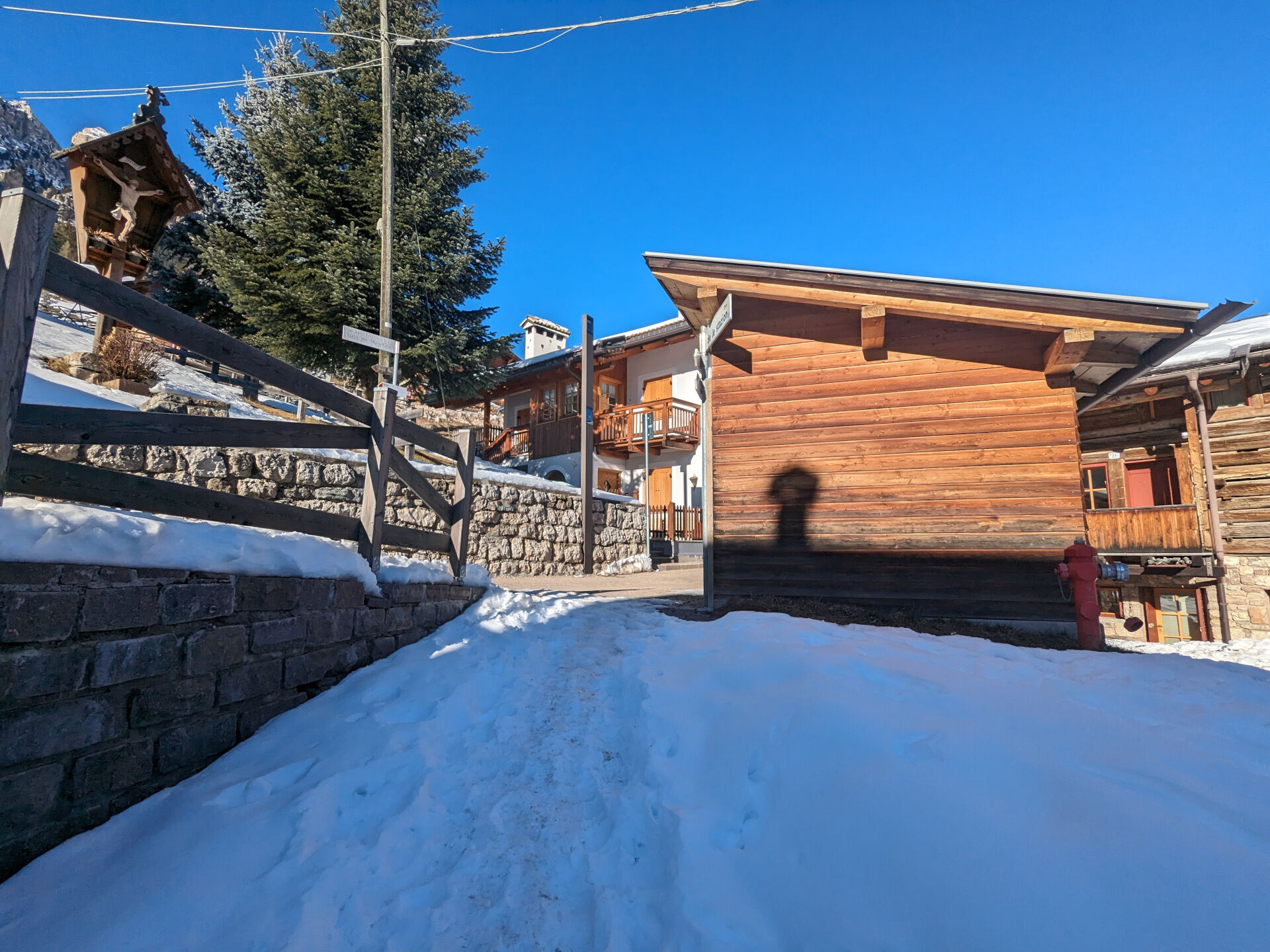
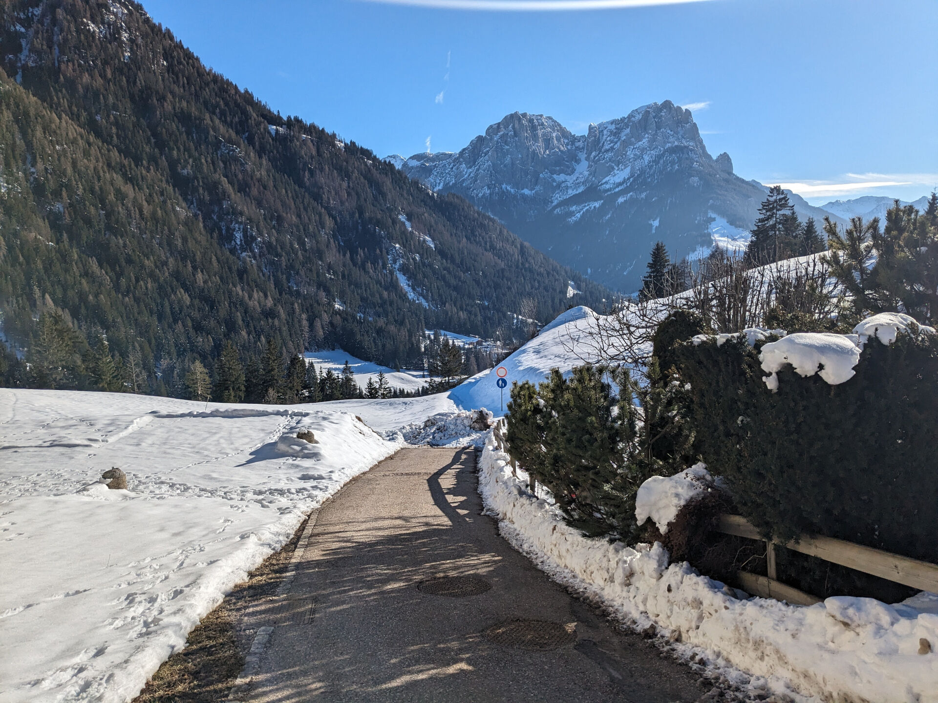
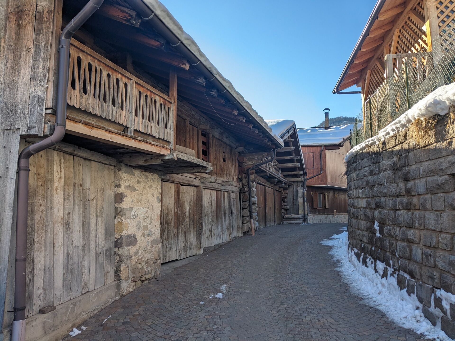
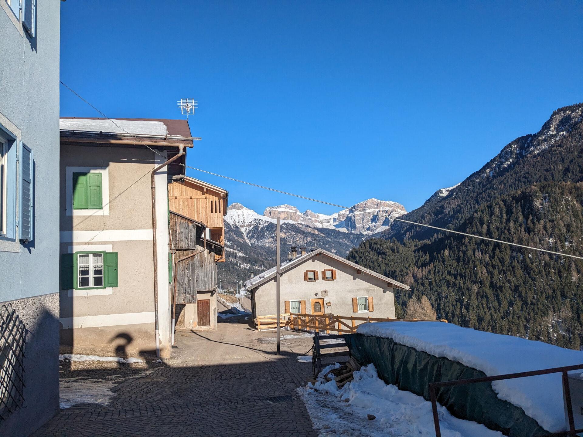
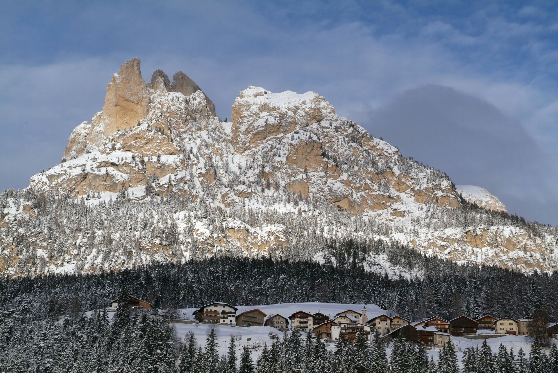
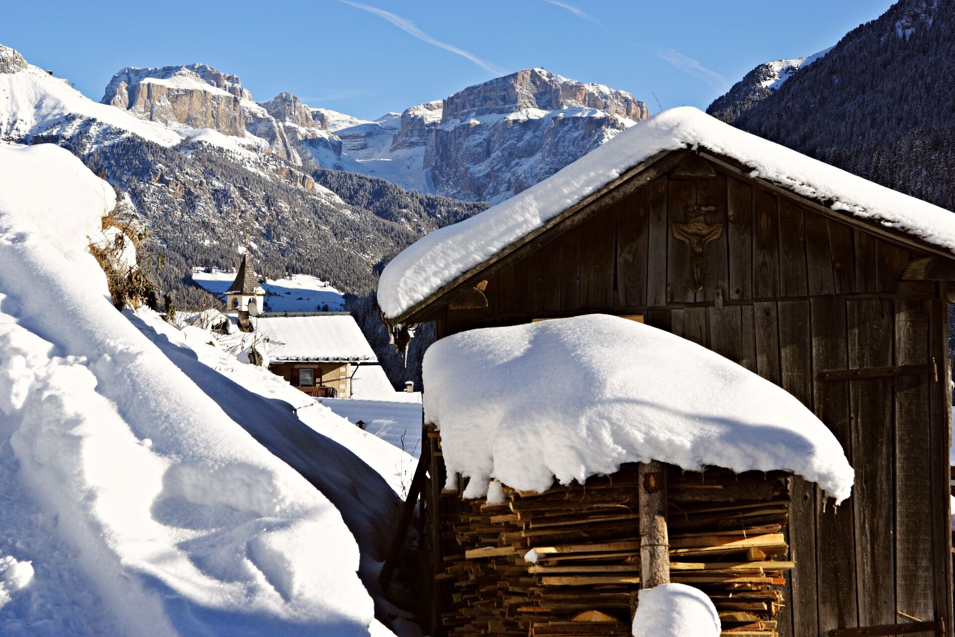

Starting from Pera di Fassa, opposite the car repair shop, turn on the left in Strada Tita Piaz. As an alternative, start from Pera, go up Strada de Ciadenac, and run along "Ruf de Soal" (stream).
Return along the same way. You can also go ahead till Gardeccia Refuge and Stella Alpina Spitz Piaz Refuge.
There are no refreshment places along the route.
Tak
Ensure you are properly equipped with hiking boots, crampons, and poles, and carry essential items in your backpack for potential emergencies, including a basic first aid kit.
2. Always prefer being accompanied by somebody. If possible, rely on a professional mountain guide.
3. Make sure you have suitable clothes and equipment (boots, crampons, and poles).
4. Inform somebody of your itinerary, return time, and possible changes.
5. Take it easy, enjoy the landscape and the silence.
6. If uncertain about the direction, turn back.
7. Stay out of cross-country and alpine skiing slopes.
8. Respect the environment around you. Bring back your rubbish.
9. Bring your pet along, but keep it on a leash.
10. Help those in need. Call the European emergency number 112 only in case of real necessity.
Other access points to Val di Fassa:
from A27 motorway (Venezia), exit Belluno/Ponte nelle Alpi, S.S. 203 to Agordo and S.P. 346 to San Pellegrino Pass - Moena (Val di Fassa). At the roundabout in Moena, proceed towards Canazei from A27 motorway (Venezia), exit Belluno/Ponte nelle Alpi, S.S. 203 to Agordo/Alleghe/Rocca Pietore. S.P. 641 to Fedaia Pass - Canazei coming from Arabba, S.S. 48 to Pordoi Pass - Canazei from Val Gardena, S.S. 242 to Sella Pass - CanazeiPublic transport lines SAD - Val di Fassa:
line no. 180 Vigo di Fassa - Carezza Pass - Bolzano- Nearest bus stop (Trentino Trasporti): Pozza di Fassa > Pera/Strada Dolomites/Ponte bivio Strada Ciadenac
- Nearest ski bus stop: Pozza di Fassa > Pera/Strada Dolomites/Ponte bivio Strada Ciadenac
Free parking at the "Vajolet" chairlift valley station in Pera.
2
Tourist Board Val di Fassa
Strèda Roma, 36
38032 Canazei (TN)
Phone +39 0462 609500
info@fassa.com
www.fassa.com
Pay close attention to the terrain at all times, as icy and slippery sections can occur, especially in shaded areas.
There are no refreshment points along the route.

 Uzyskaj wgląd
Zawsze na żywo z ponad 9 500 kamer internetowych. bergfex Jako użytkownik Pro, możesz teraz zobaczyć odpowiednie kamery internetowe dla wielu wycieczek w aplikacji wycieczki od. Pozwala to na bezpośredni podgląd aktualnych warunków.
Uzyskaj wgląd
Zawsze na żywo z ponad 9 500 kamer internetowych. bergfex Jako użytkownik Pro, możesz teraz zobaczyć odpowiednie kamery internetowe dla wielu wycieczek w aplikacji wycieczki od. Pozwala to na bezpośredni podgląd aktualnych warunków.
Popularne wycieczki w okolicy
-
4,8
Torre di Pisa mountain hut
średniWędrówka 9,09 km -
4,7
Pordoi Pass - Sass Pordoi - Forcella Pordoi - Piz Boè - Boè Refuge - Forcella Pordoi - Pordoi Pass
ciężkiWędrówka 8,39 km -
5,0
Langkofel Klettersteig/Ferrata Furcela de Saslonch
ciężkiVia ferrata 7,07 km -
5,0
Um den Langkofel
średniWędrówka 9,76 km -
4,0
Der Friedrich-August-Weg
średniWędrówka 10,4 km -
4,9
Lang- und Plattkofel Umrundung
średniWędrówka 17,5 km -
4,9
Santnerpass Klettersteig
średniVia ferrata 8,29 km -
4,8
Langkofel-Umrundung
średniWędrówka 12,9 km -
4,8
Schlern Bersteigung
średniWędrówka 19,1 km -
4,7
Puflatsch Umrundung
światłoWędrówka 8,37 km
Wędrówki i tropienie


Nie przegap ofert i inspiracji na następne wakacje
Twój adres e-mail została dodana do listy mailingowej.





