


From Moena to Soraga, where water has marked history
Poziom trudności: 2
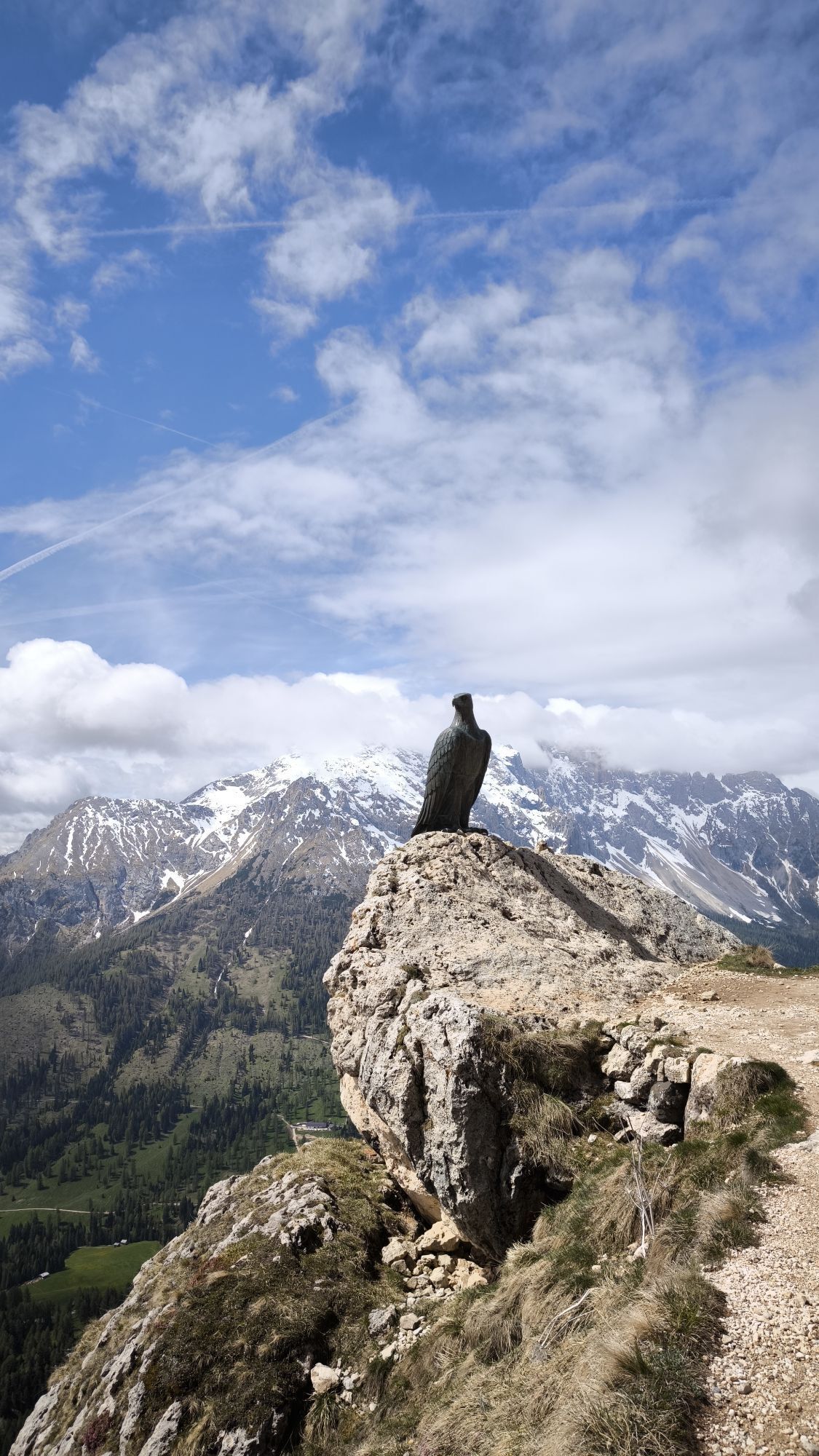
Perhaps this is where the fairies' playful spirit was born - a kind of magic that still inspires the tireless work of sculptors and woodcarvers today. Pink sunsets, sparkling cascades and wide open meadows,...
This easy walk leads through a peaceful rural landscape, in the quiet rhythm of nature. Along the way, you'll pass eco-friendly farm stays that speak of the past and present of mountain life. The craftsmanship of local artisans is reflected in every detail: everyday objects, religious carvings, small masterpieces and toys that bring back the scent and wonder of childhood.
From one generation to the next, the art of woodcarving in Val di Fassa has taken many forms, keeping alive a tradition that tells of beauty, skill and a deep connection with nature.


The route follows the course of the Avisio River, from Moena to the artificial Lake Soraga and its beautiful riverside park, "Vischia de Sach". The Pezzé Dam was built in the early post-war years to feed the Predazzo hydroelectric power plant.
From the central Piaz de Sotegrava square, walk uphill along Strada Salejada. At the junction, in front of the "del Dante" fountain, turn right onto Strada de Moene, then left onto Strada Saslonch. After the last houses of "Col dei Soldai", continue past the El Mas farmhouse and follow a paved agricultural road that gently crosses the meadows above Lake Soraga. This stretch offers outstanding views: the Catinaccio and the majestic Sassolungo rise in front of you, while the long ridge of the Monzoni runs along to your right. Once you reach the hamlet of Palua, descend towards the centre of Soraga along the road of the same name. Before heading down, it is well worth stopping at the Decrestina factory, known for its educational wooden toys and tools - a fine example of local craftsmanship. Continue past Hotel Miravalle towards "Vischia de Sach". Cross the covered footbridge, a particularly charming spot that leads into the riverside park. Here, nature thrives undisturbed: cormorants, herons and ducks inhabit this peaceful oasis, perfect for a short, refreshing break.
If you prefer to start from Soraga, follow the signs for walk no. 21.
Tak
Tak
Tak
Periodic maintenance and inspection of the trails will be provided, especially after snowfall. It is recommended to always pay close attention to the type of terrain, as icy and slippery sections cannot be ruled out. It is also recommended to always be properly equipped. Walking times are approximate only, and it is important to consider that walking on snow is much more strenuous than walking without it.
2. Inform someone about your planned itinerary, return time and possible changes.
3. Plan your outings with others and, when possible, rely on a mountain professional.
4. Bring avalanche rescue equipment (beacon, shovel and probe) with you, practise using it regularly and do a group test before setting off.
5. Make sure you have suitable clothing and equipment (poles, crampons, water, snacks, etc.).
6. Always keep your pet on a leash.
7. Constantly and carefully assess the conditions of the route and your mental, physical and technical abilities. If in doubt, turn back.
8. Do not cross ski slopes, either downhill or cross-country.
9. Respect the environment around you and take your rubbish back down to the valley.
10. Help those in need. In case of real need and for emergencies, call 112.
Other access routes to Val di Fassa
From the A27 motorway (Venice), Belluno/Ponte nelle Alpi exit: SS 203 to Agordo, then SP 346 over Passo San Pellegrino to Moena (Val di Fassa). From the Moena bypass, continue towards Canazei From the A27 motorway (Venice), Belluno/Ponte nelle Alpi exit: SS 203 to Agordo/Alleghe/Rocca Pietore, then SP 641 over Passo Fedaia to Canazei From Arabba: SS 48 over Passo Pordoi to Canazei From Val Gardena: SS 242 over Passo Sella to Canazeisüdtirolmobil bus lines - Val di Fassa
Line 180: Vigo di Fassa - Passo Carezza - Bolzano- Nearest bus stop (Trentino Trasporti): Moena > Hotel Trentino
- Nearest ski bus stop: Moena > Piaz de Ramon
Paid parking in the Navalge area (tourist office).
2
Strèda Roma, 36
38032 Canazei (TN)
Phone +39 0462 609500
info@fassa.com
www.fassa.com
Refreshment stops along the route: El Mas Farmhouse, Malga Piè Farmhouse, Aurora Bar.
Kamery internetowe z trasy
Ciampedie - Rosengarten
Ciampedie - Rosengarten
Ciampedie - Rosengarten
Ciampedie - Rosengarten
Le Cune
Le Cune
Le Cune
Le Cune
Le Cune
Le Cune
Le Cune
Catinaccio - Rosengarten Pra Martin
Ciampedie - Rosengarten
Ciampedie - Rosengarten
Ciampedie - Rosengarten
Ciampedie - Rosengarten
Catinaccio - Rosengarten Pra Martin
Catinaccio - Rosengarten Pra Martin
Le Cune
Castelir
Castelir
Castelir
Castelir
Castelir
Castelir
Talstation Pra di Tori
Pra di Tori Bergstation
Pra di Tori Bergstation
Popularne wycieczki w okolicy
- 4,8
Santnerpass Klettersteig
średniVia ferrata 8,29 km - 3,8
Der Friedrich-August-Weg
średniWędrówka 10,4 km - 4,8
Torre di Pisa mountain hut
średniWędrówka 9,09 km - 4,7
Passo Costalunga - Sella del Ciampaz
średniWędrówka 8,35 km - 5,0
Ciampedie - Gardeccia - Refuges Vajolet and Preuss - Refuge Re Alberto I - Gardeccia - Ciampedie
ciężkiWędrówka 11,8 km - 5,0
Ciampedie - Gardeccia - Principe Pass - Antermoia Refuge - Val Duron - Campitello
ciężkiWędrówka 18,7 km - 4,7
Stage 1 Dolomiti Trek King in autumn - Catinaccio
ciężkiWędrówka 15,3 km - 5,0
Latemar Umrundung - die Kurze und Bequeme
średniWędrówka 12,1 km - 4,5
Kölner Hütte - Hirzelsteig - Rotwandhütte - Baita Tre - Karerpass
średniWędrówka 9,56 km - 4,4
Cavallazza Peak
średniWędrówka 7,82 km

Wędrówki i tropienie


Nie przegap ofert i inspiracji na następne wakacje
Twój adres e-mail została dodana do listy mailingowej.