







Stage 3 Dolomiti Trek King in autumn - Sassolungo

Poziom trudności: T2
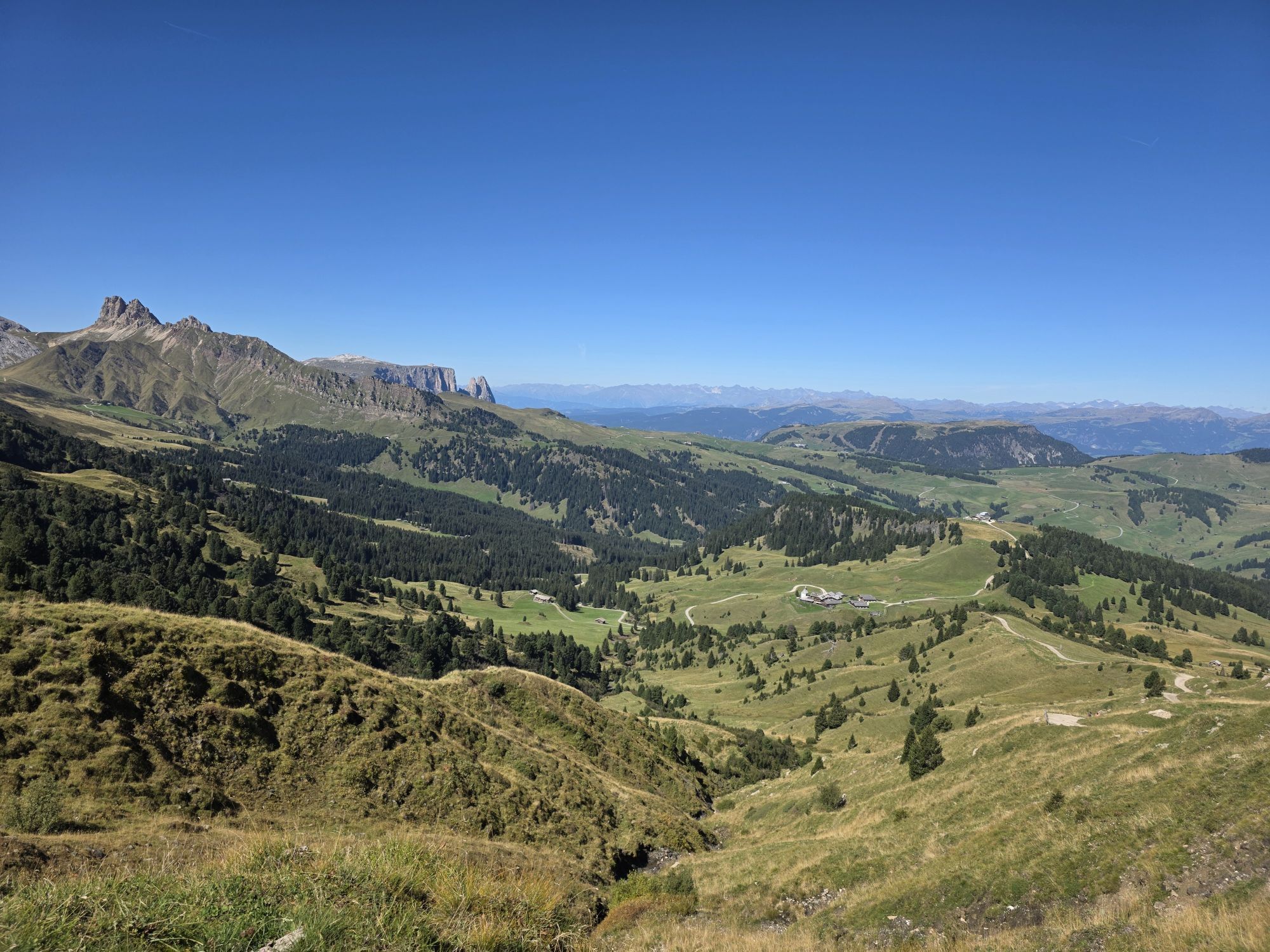
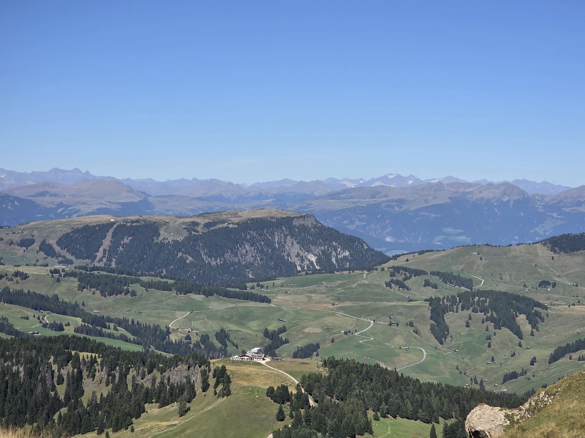
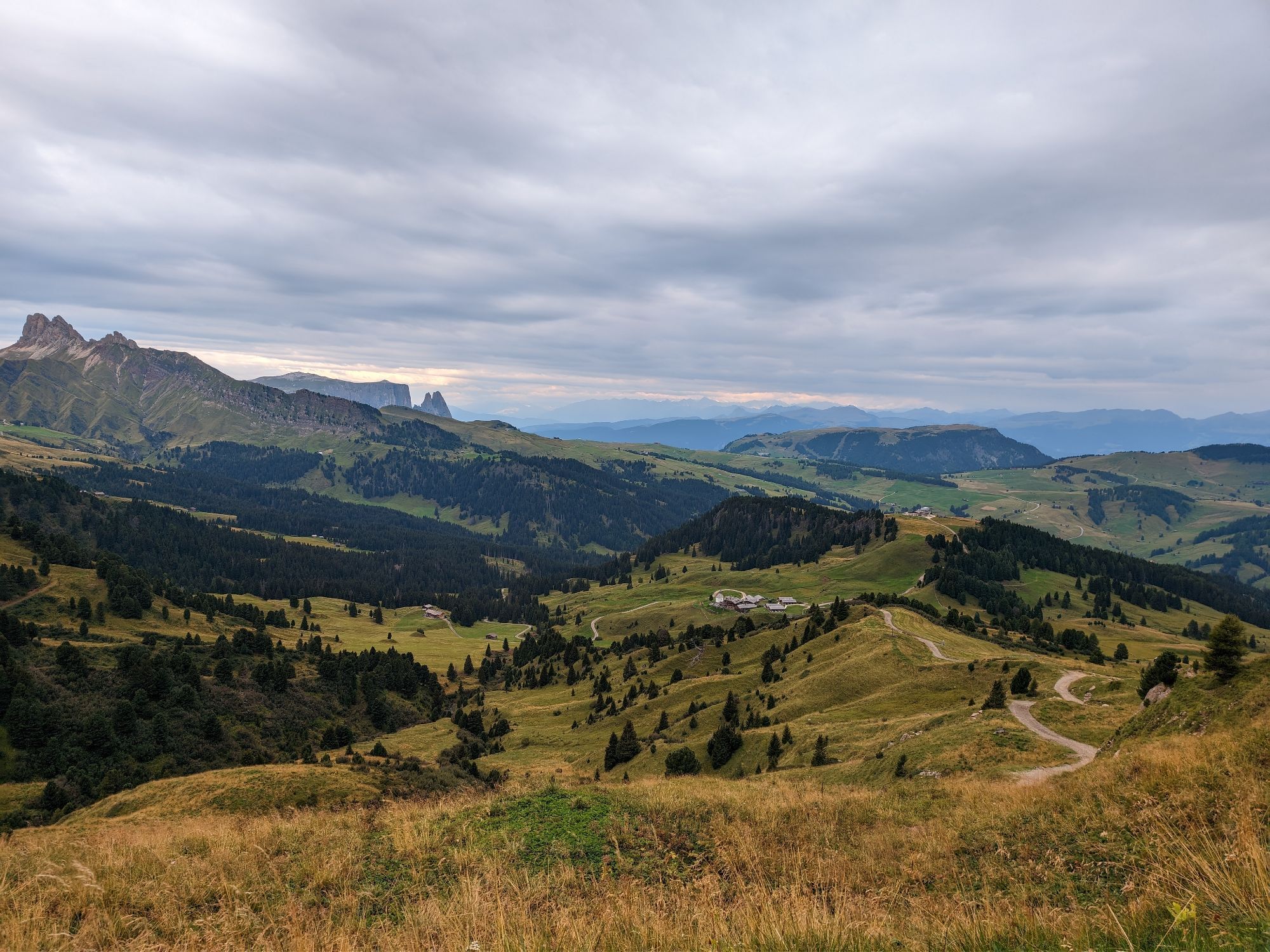
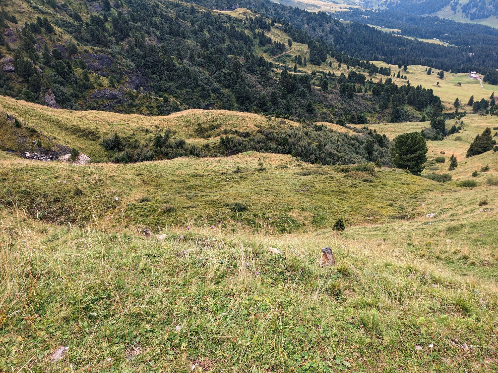
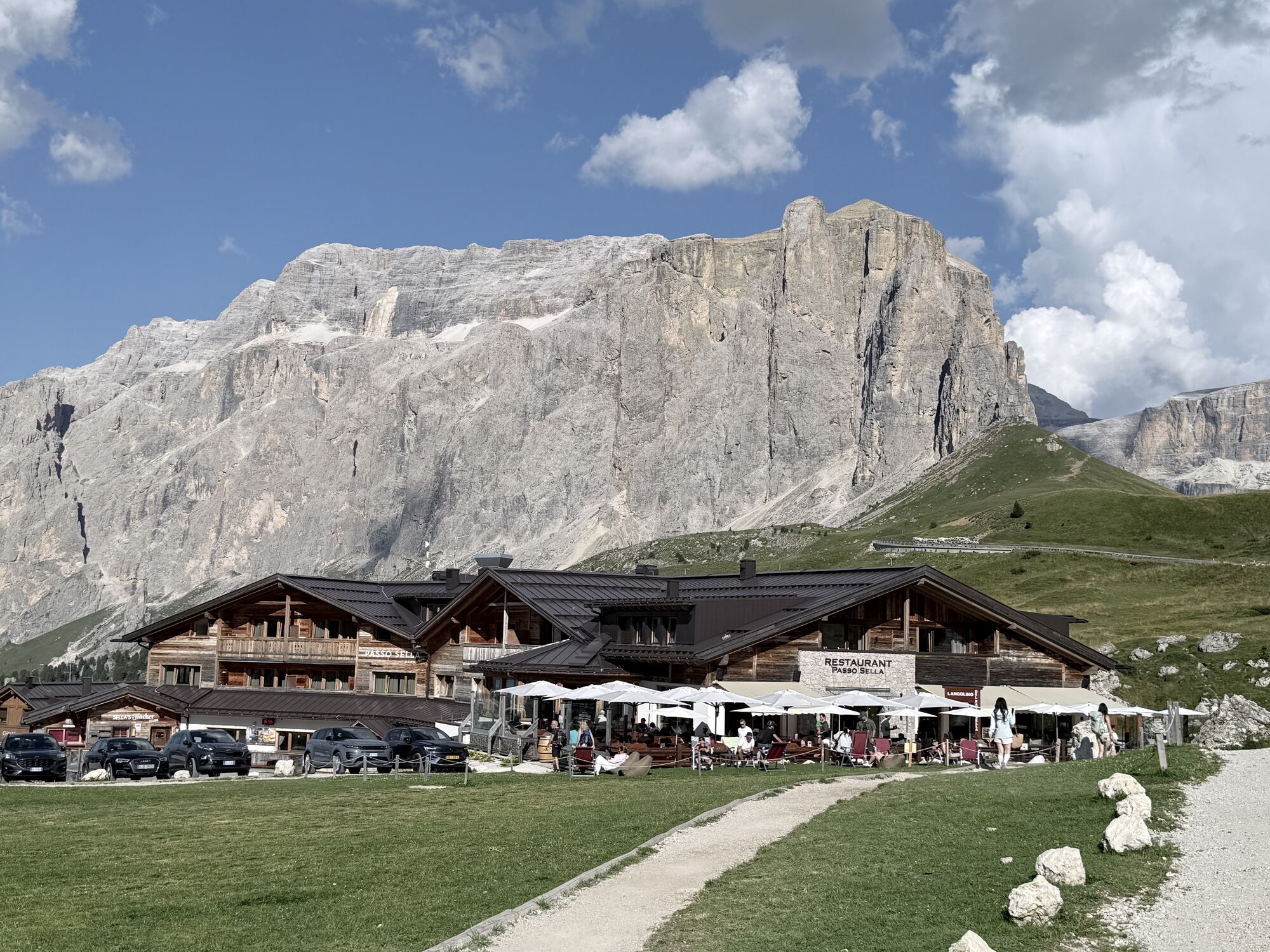
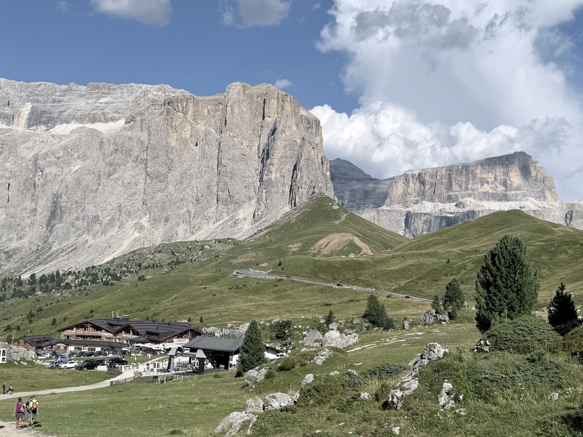
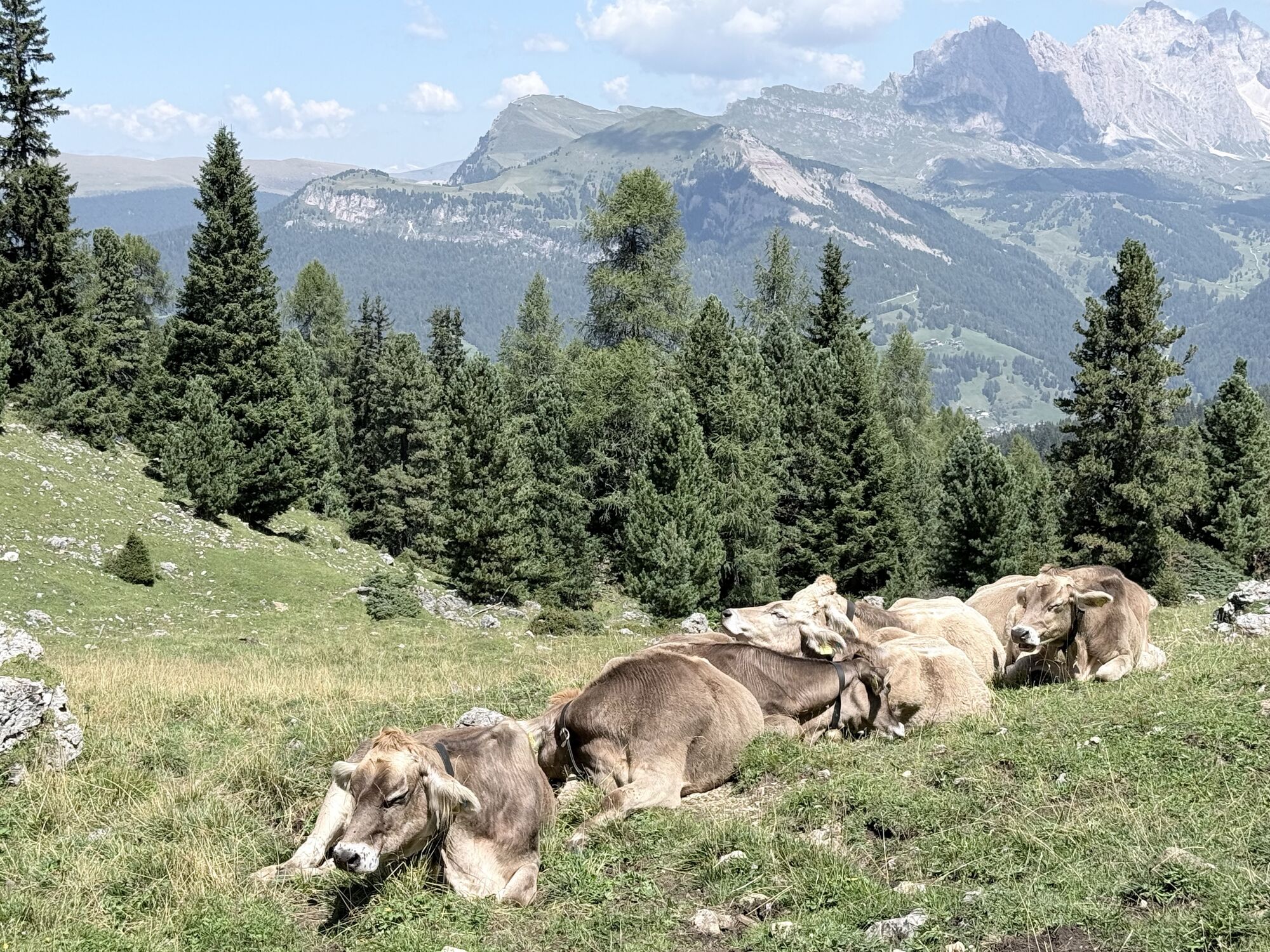
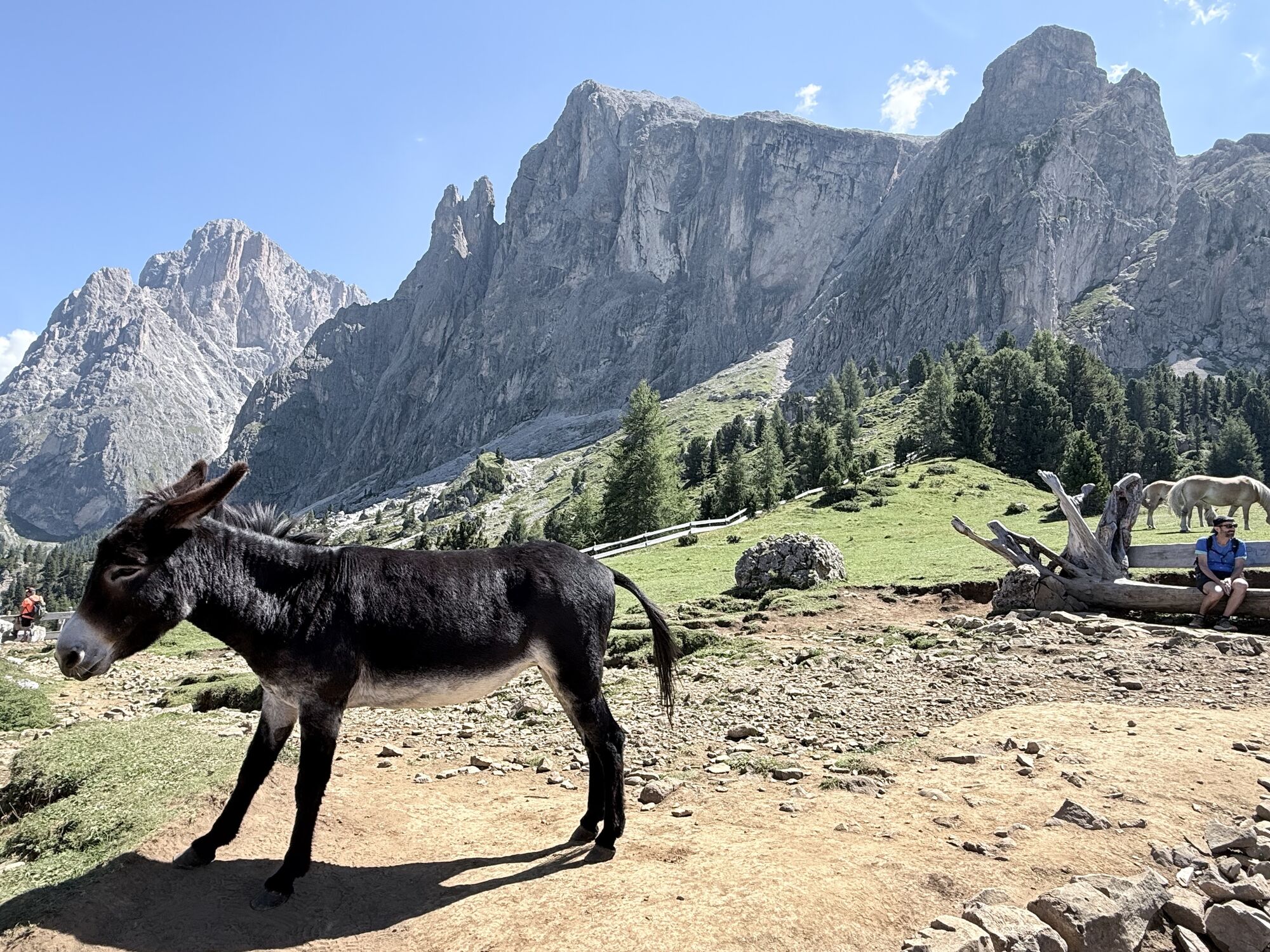
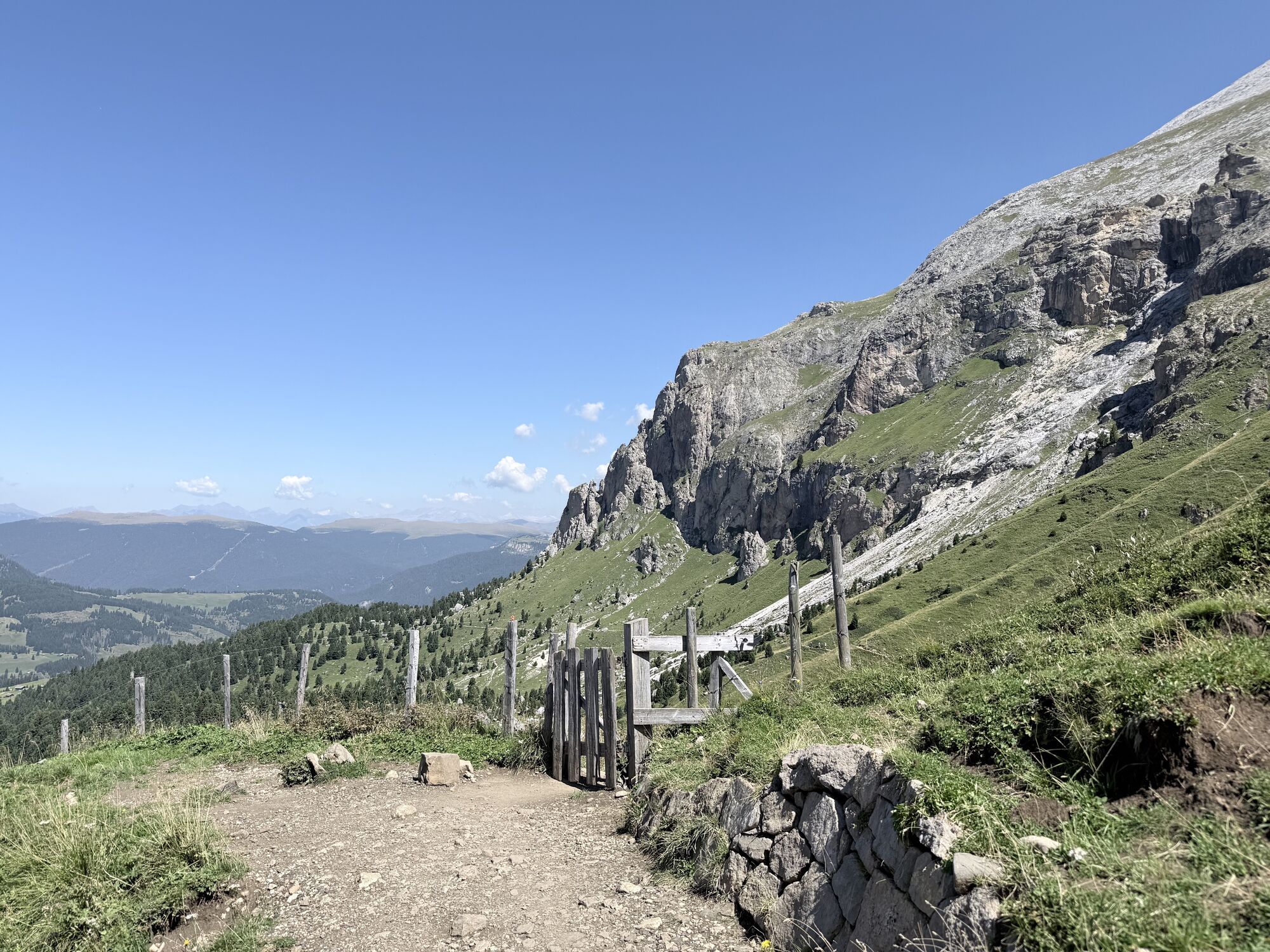
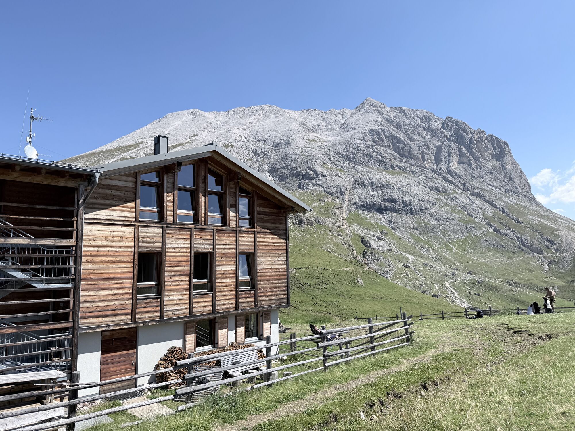
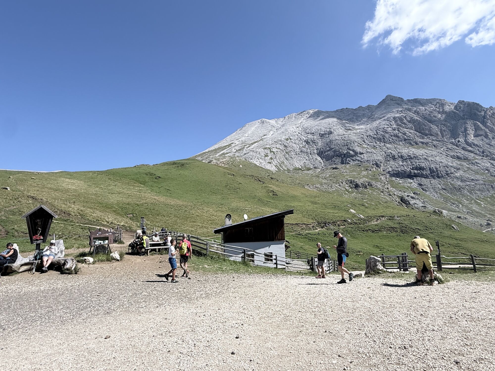
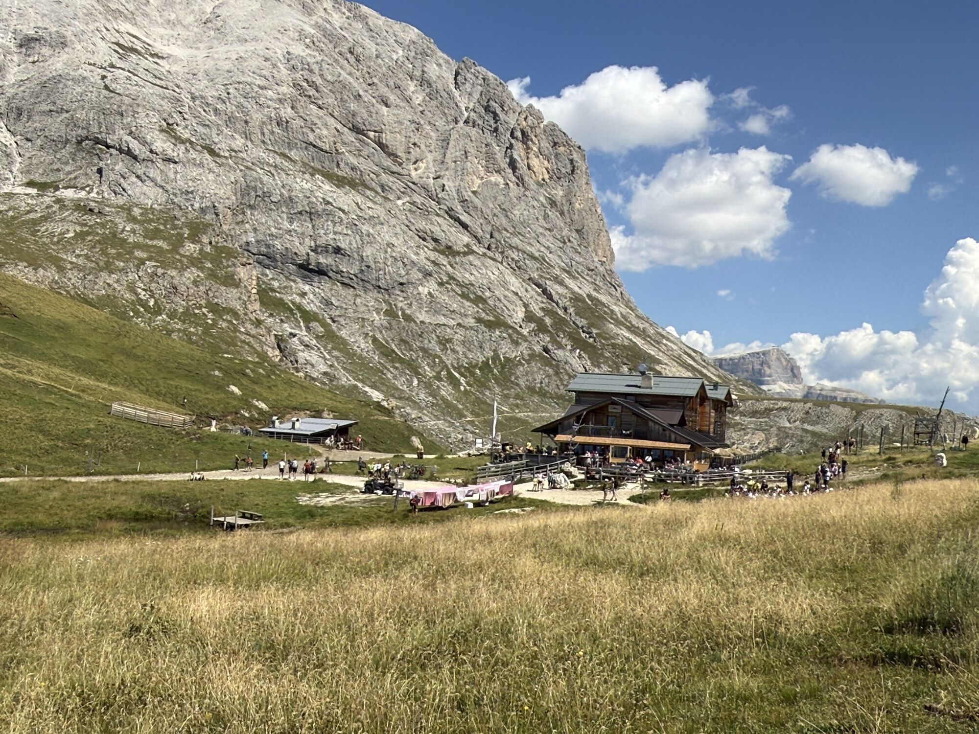
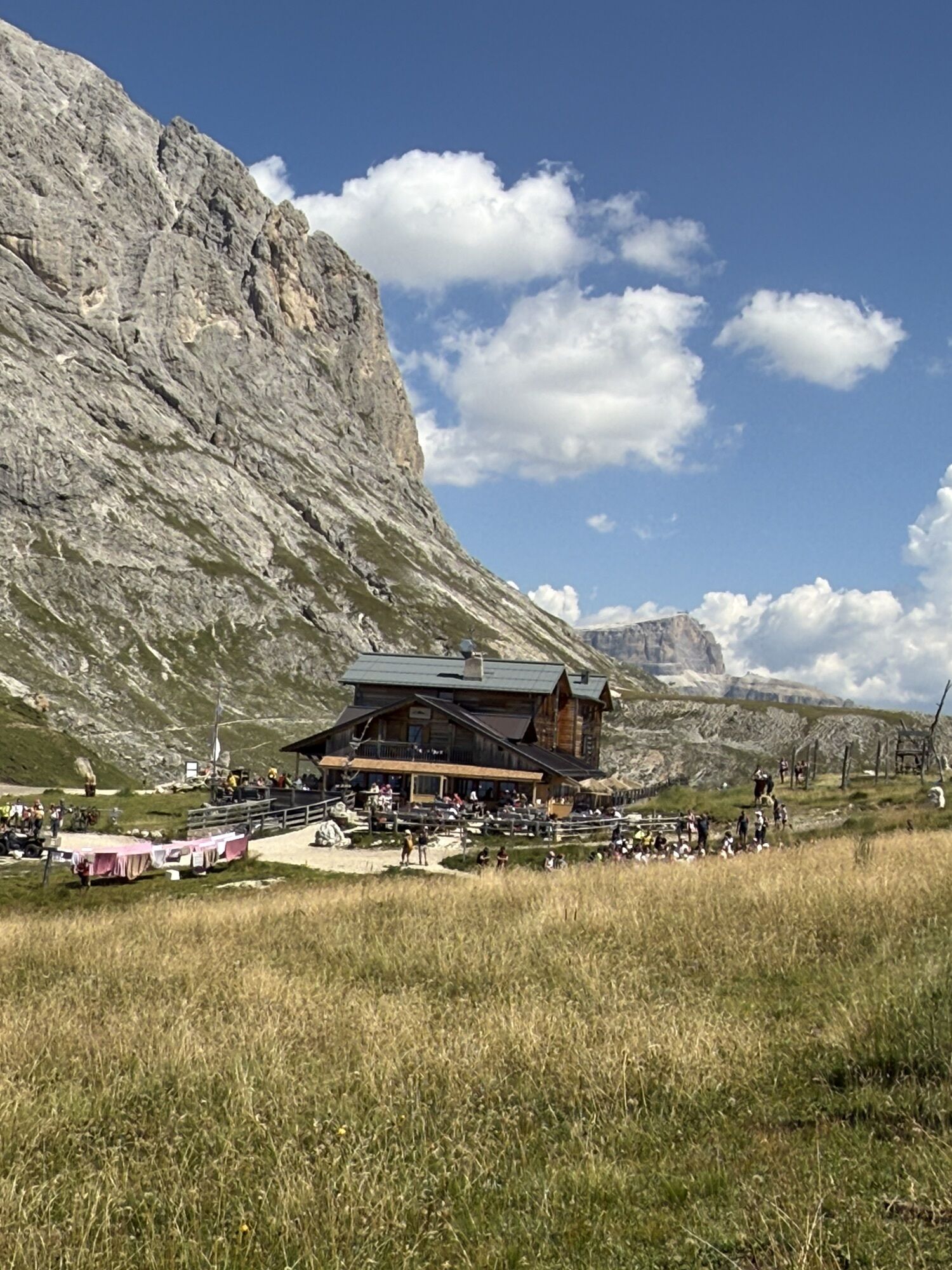
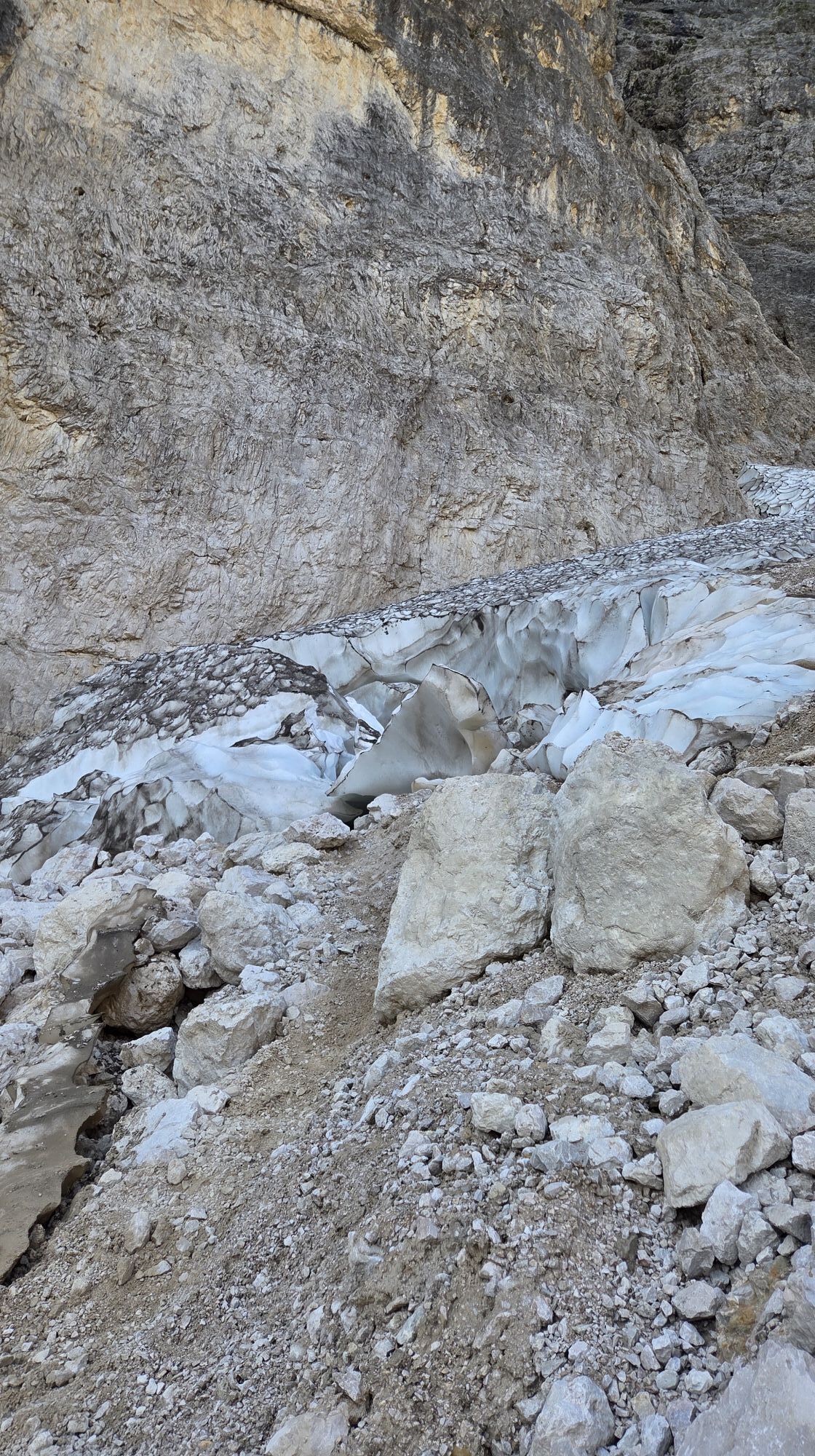
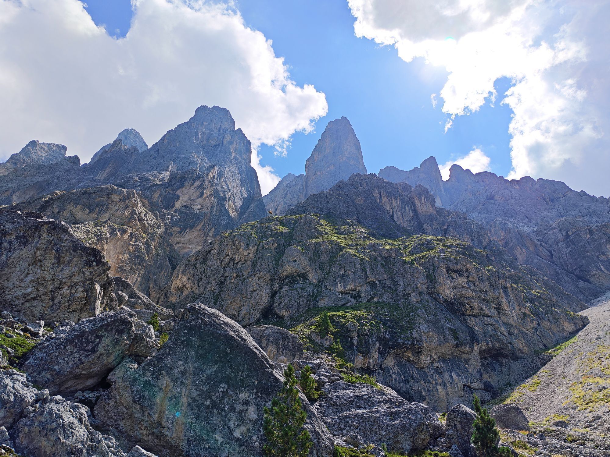
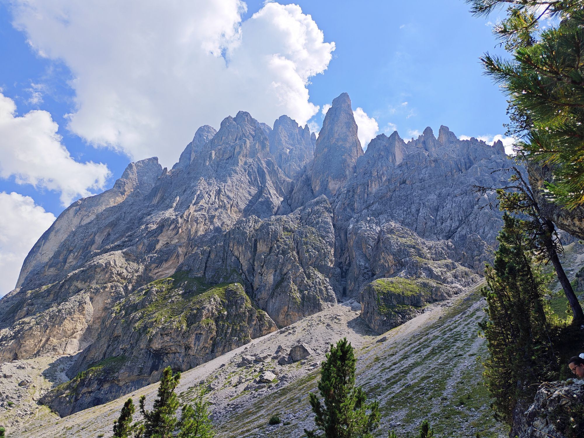
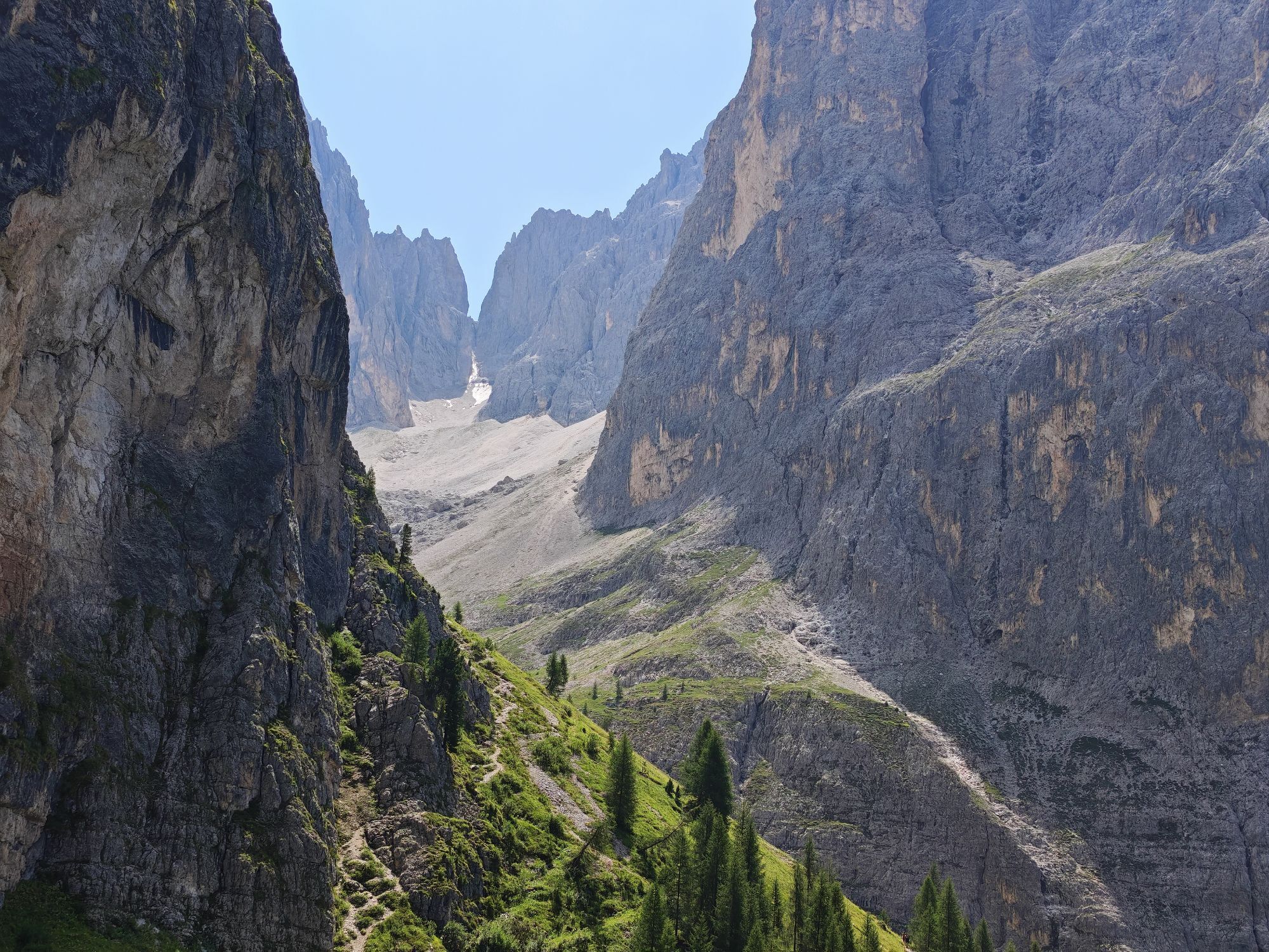
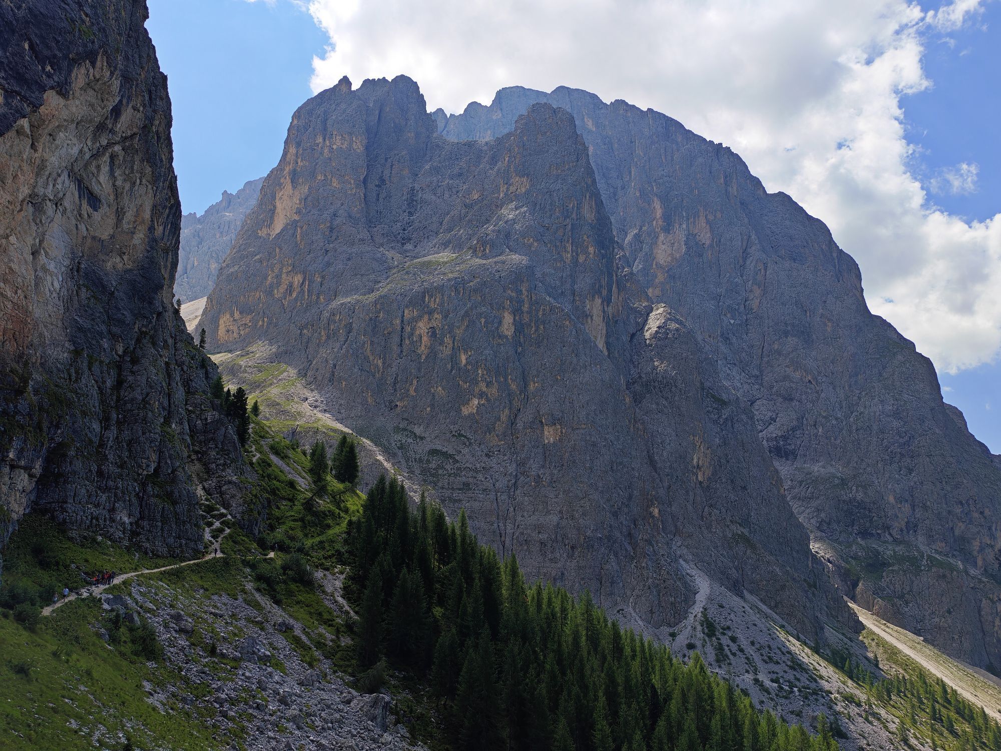
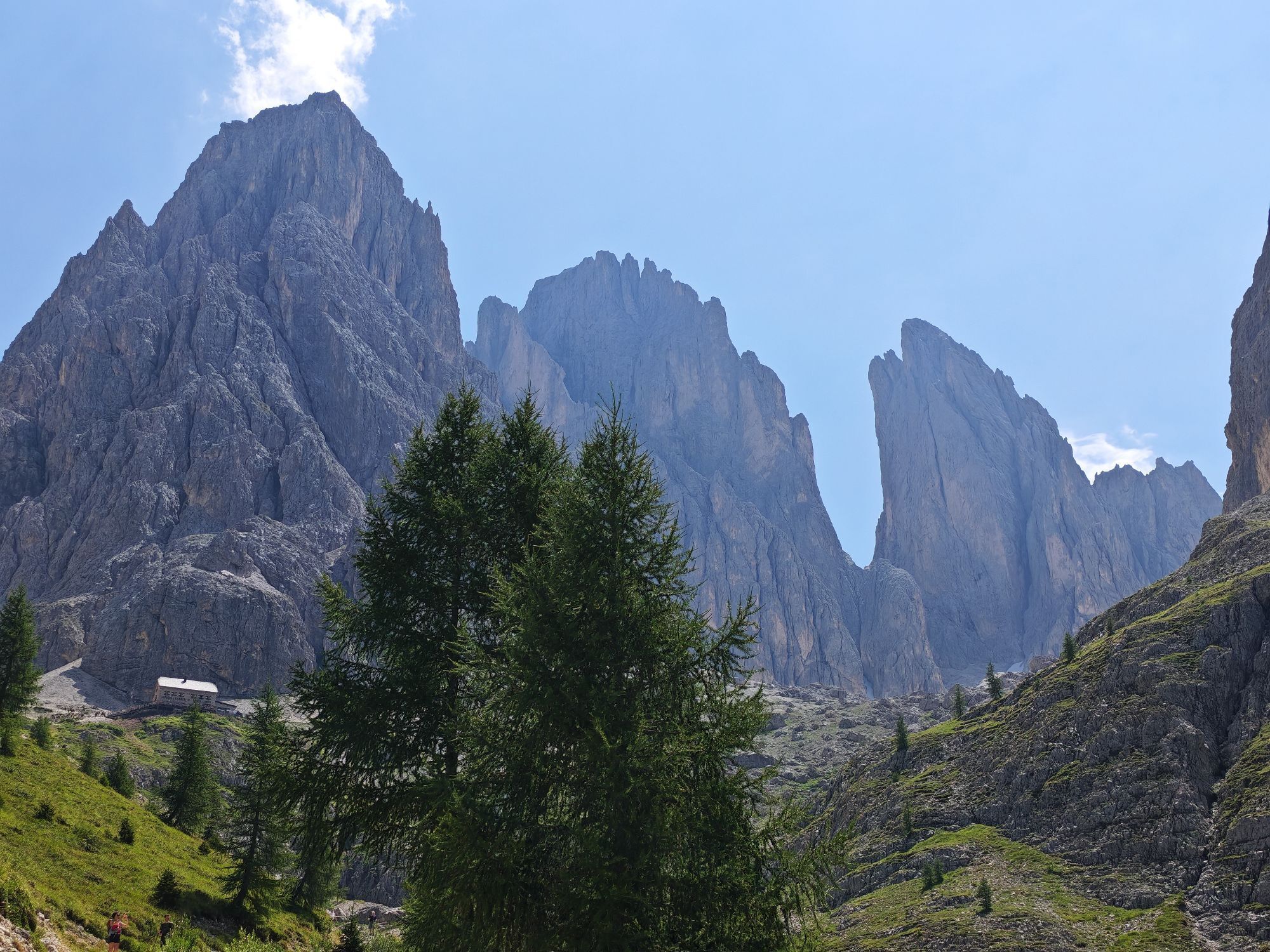
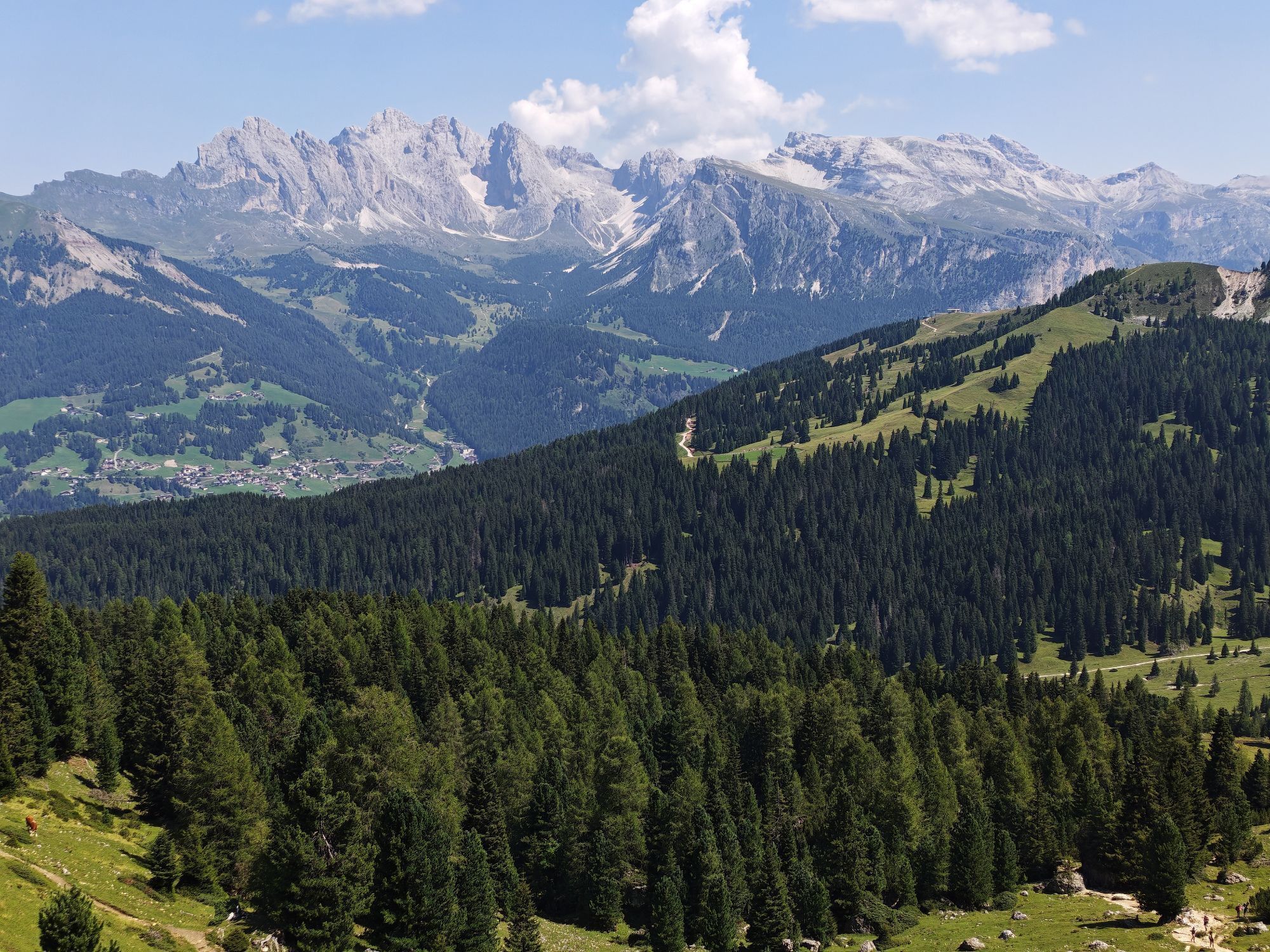
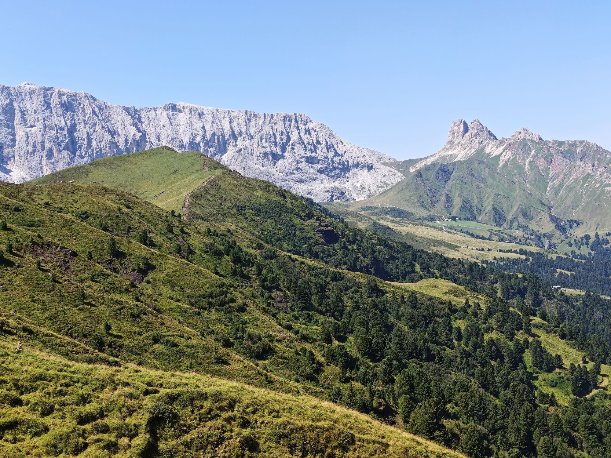
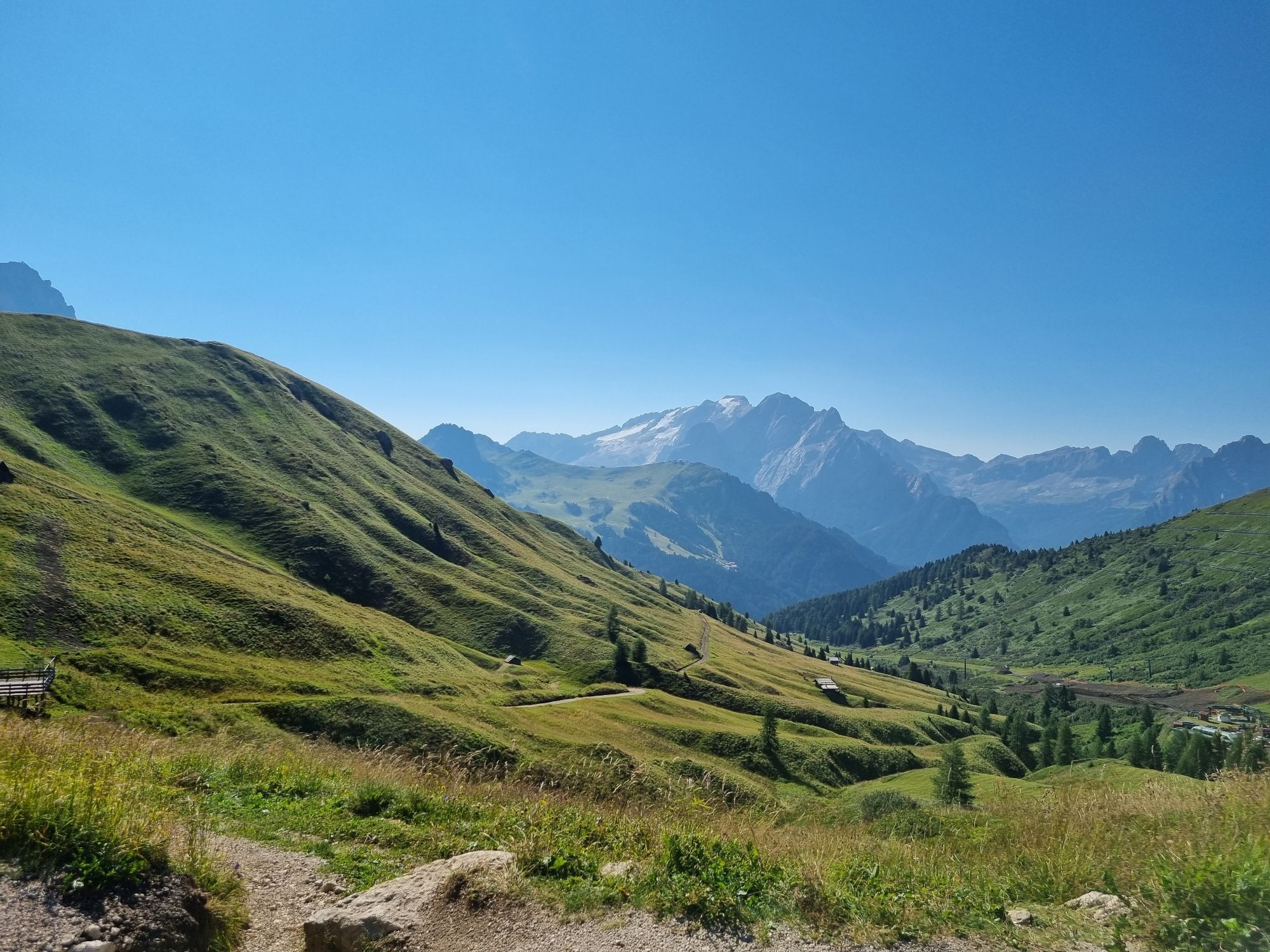
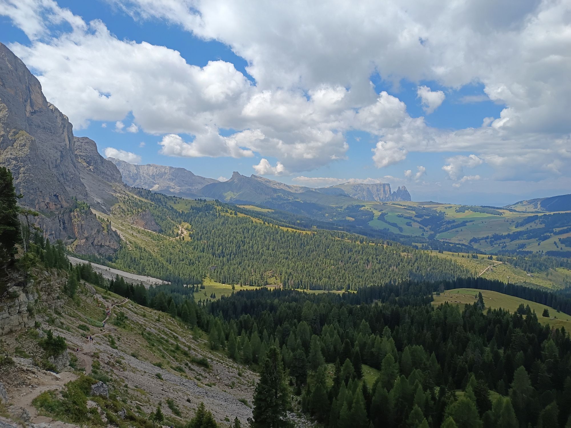
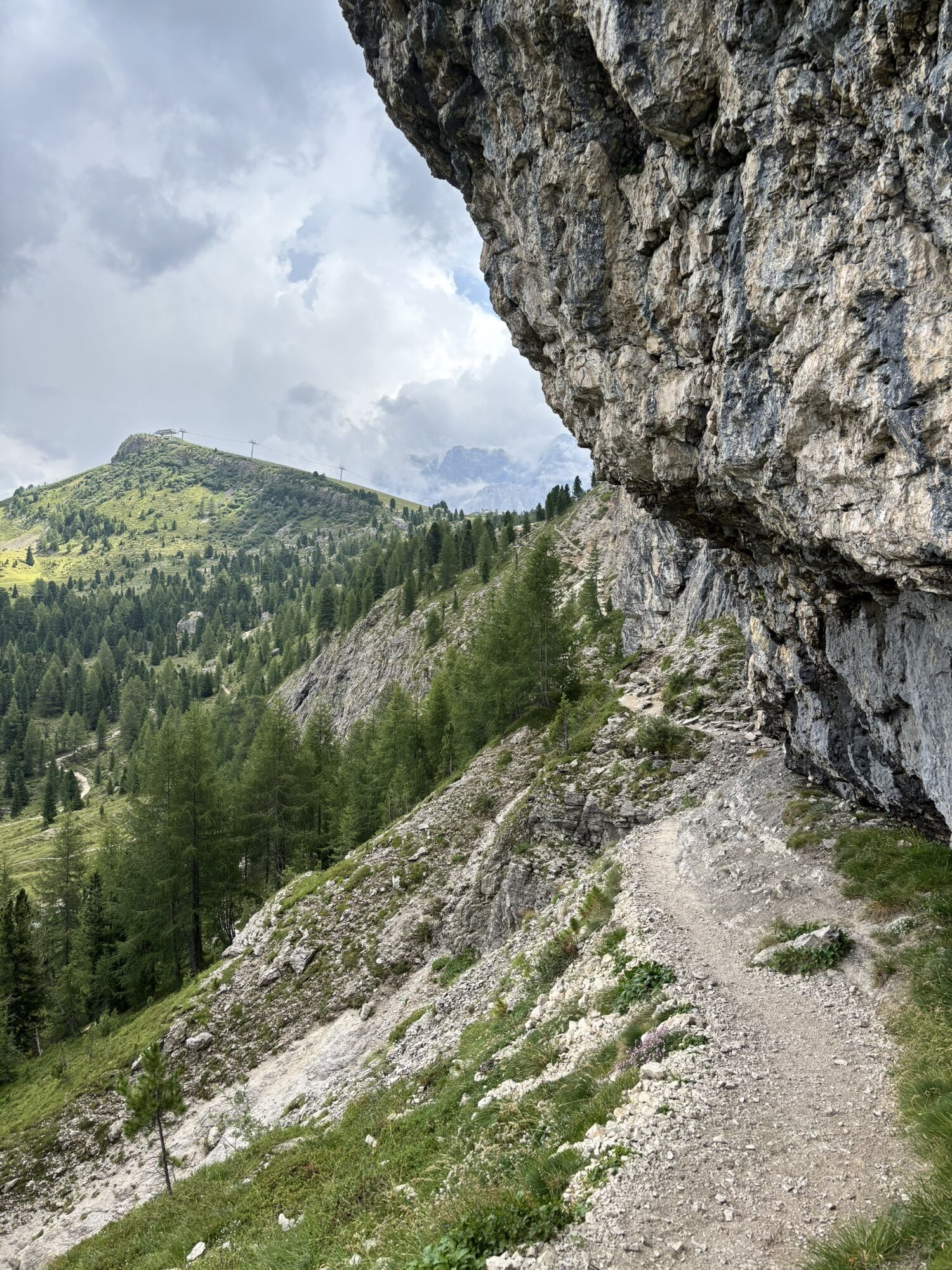
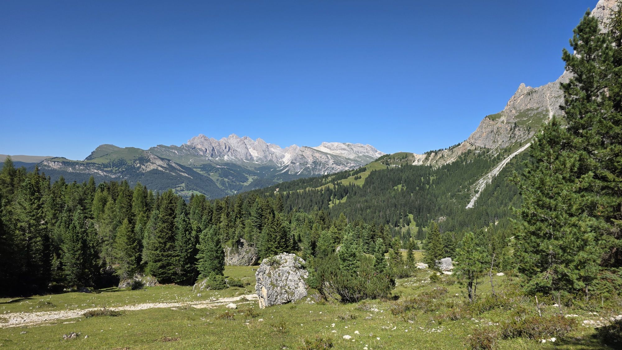
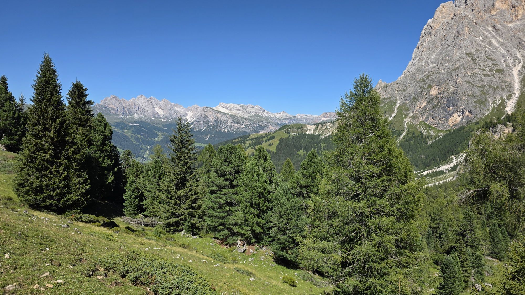
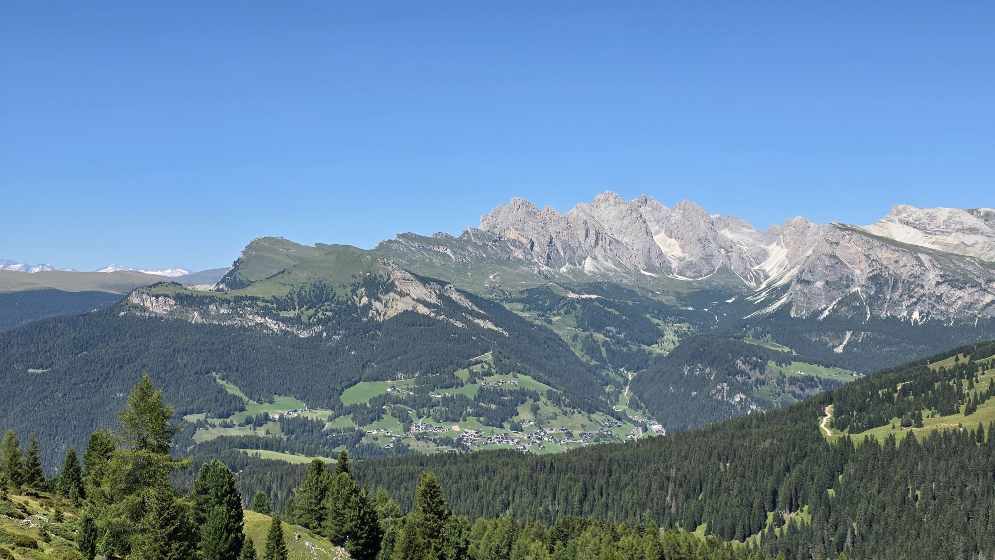
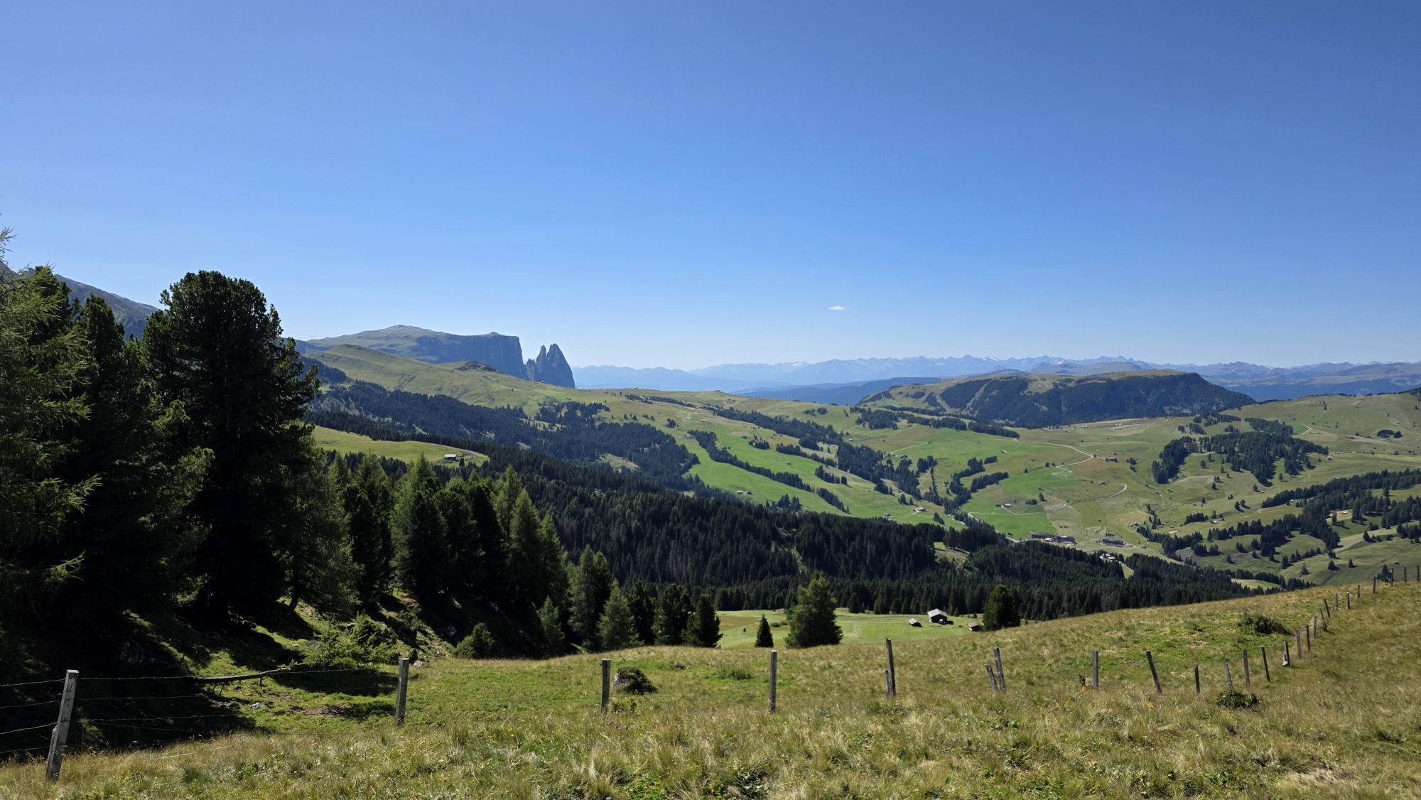
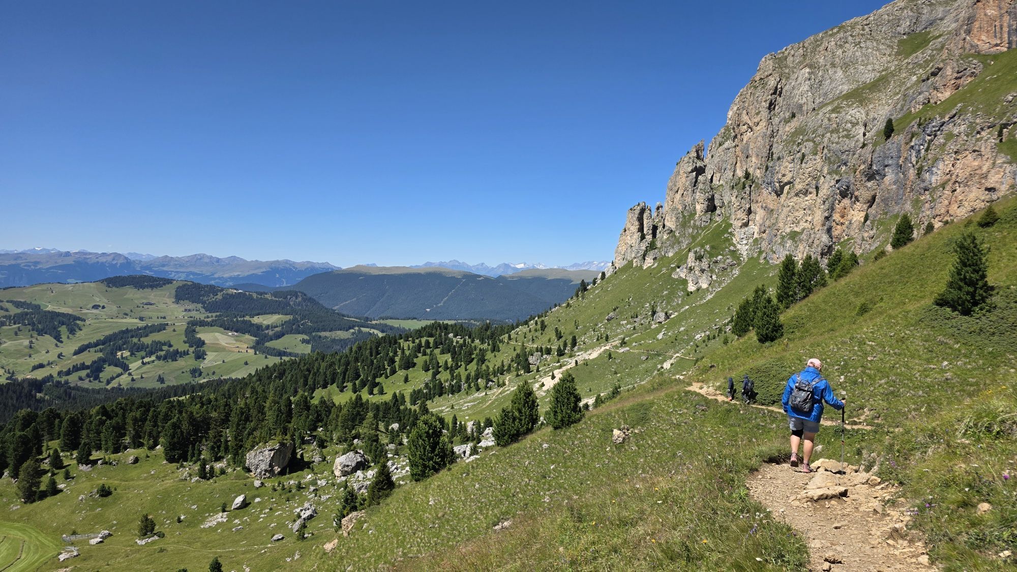
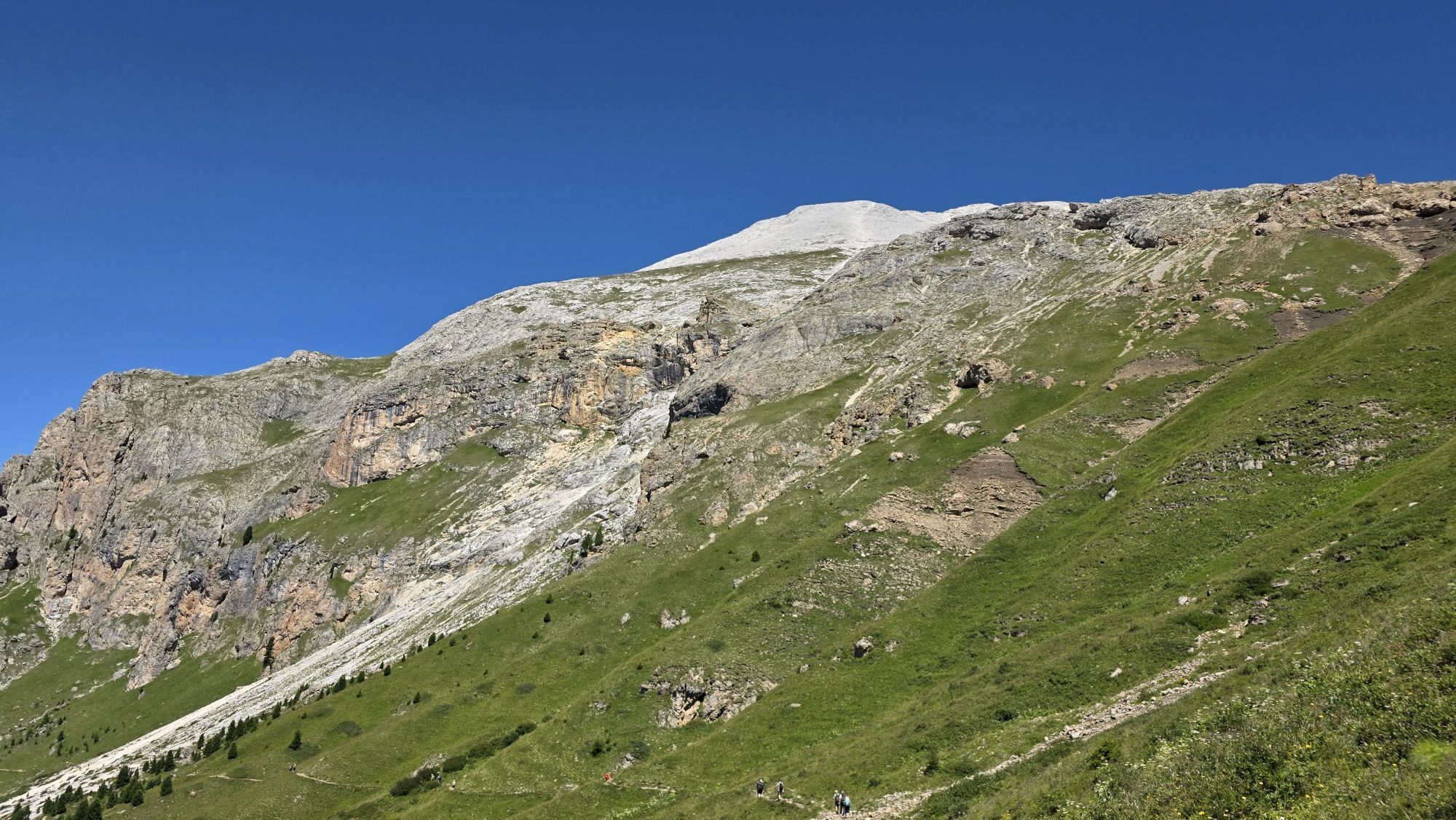
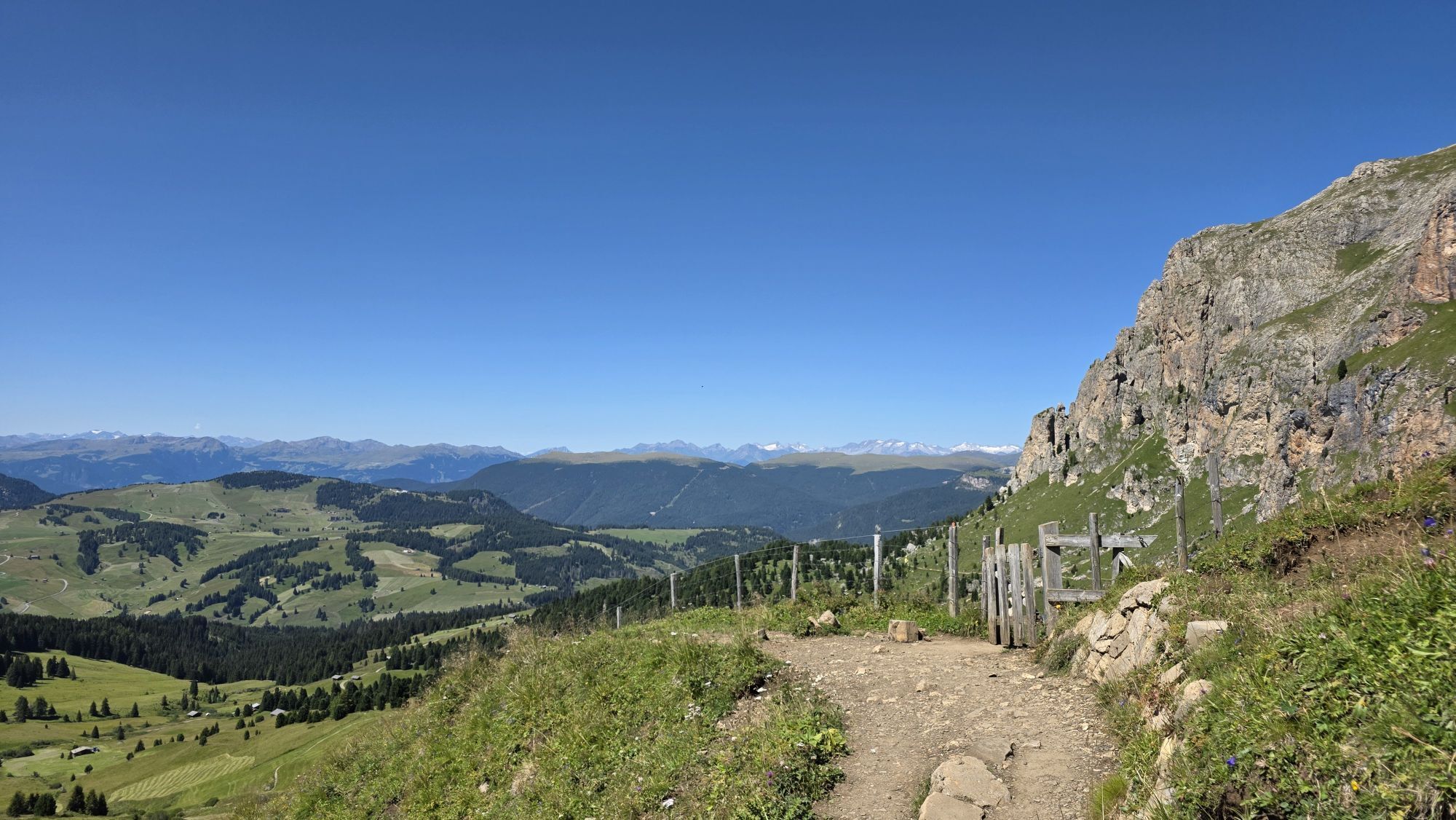
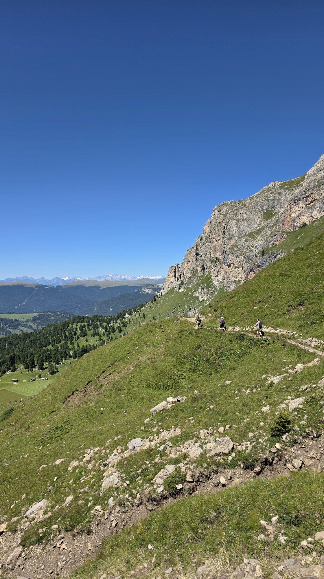
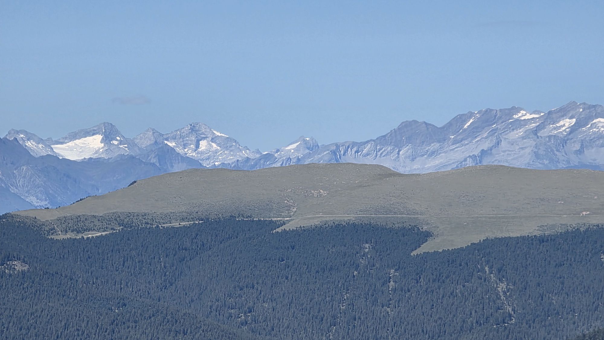
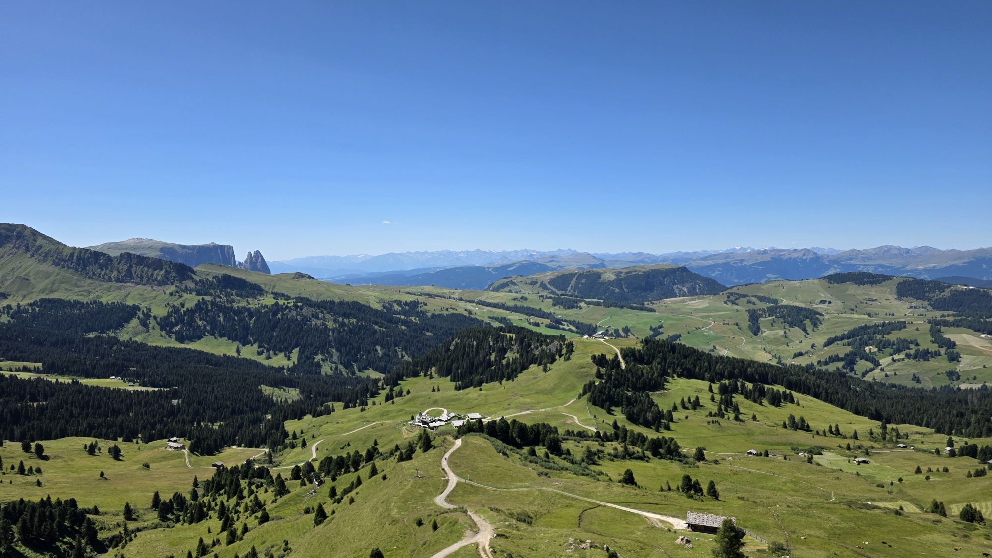
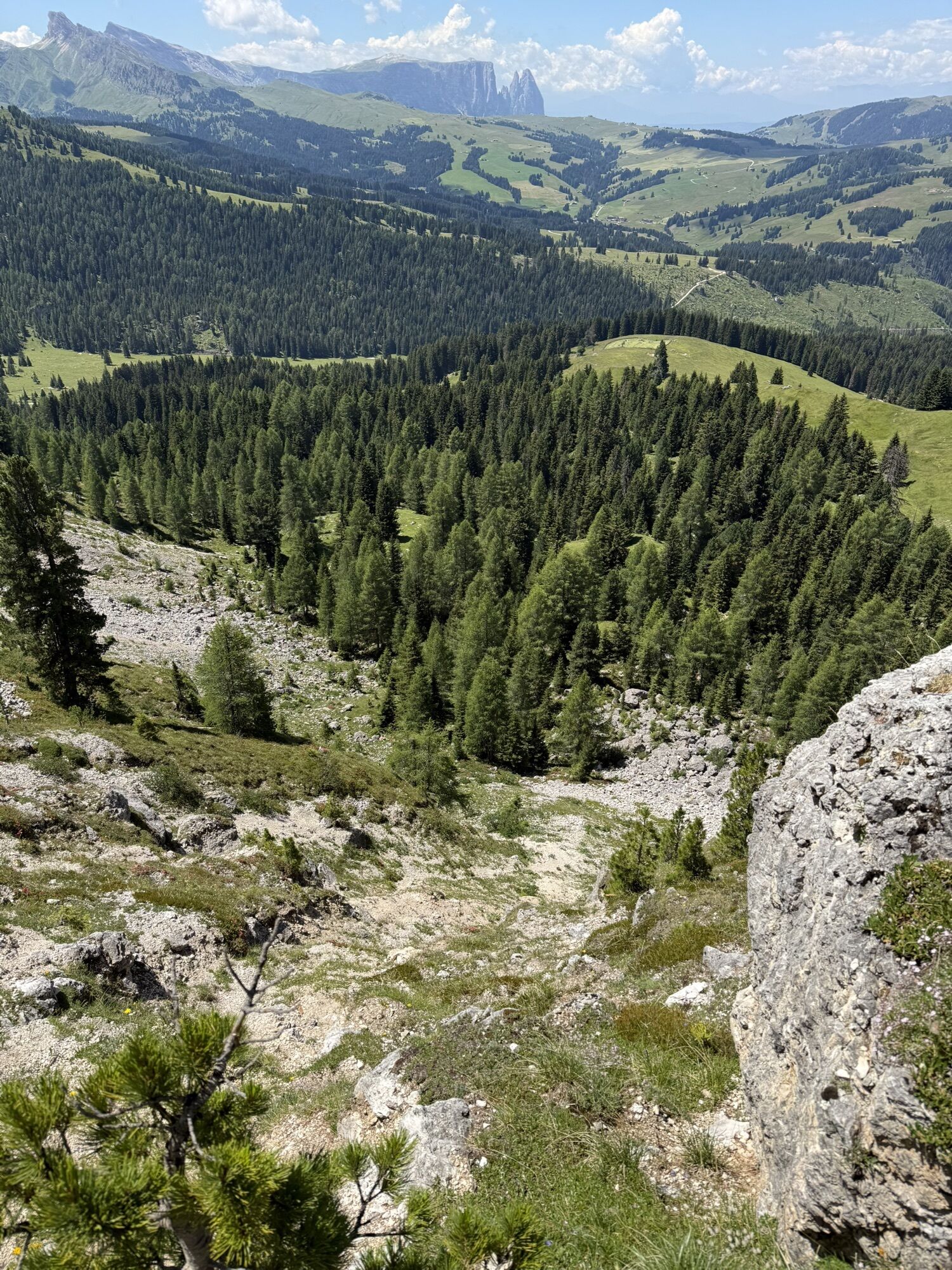
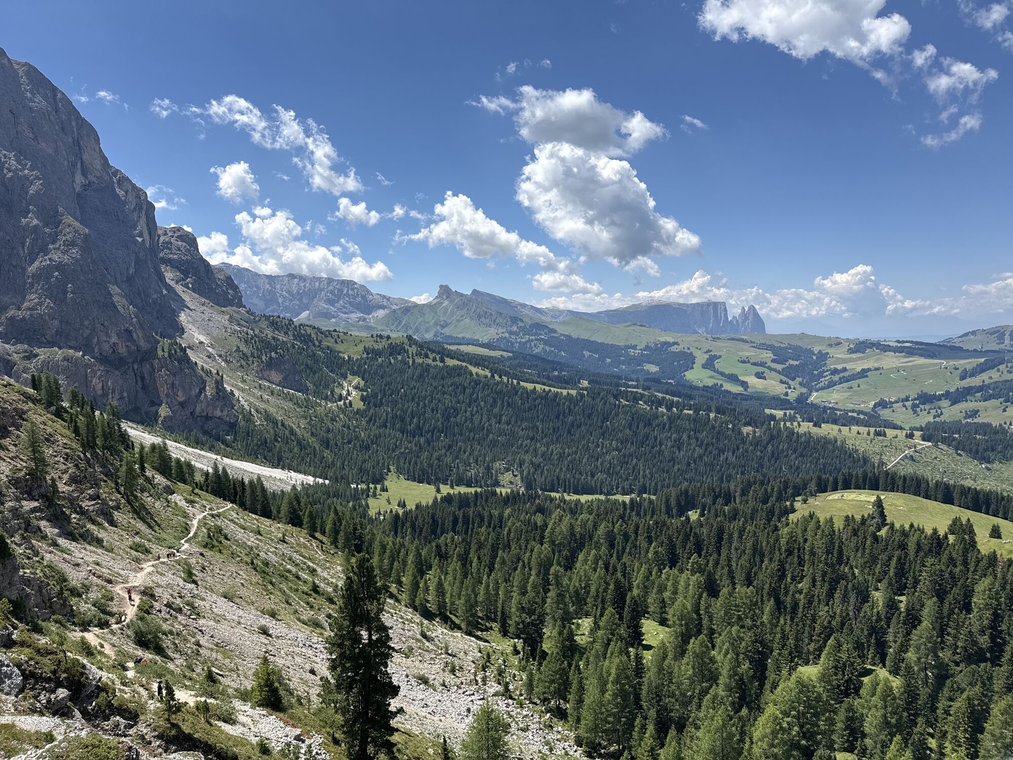
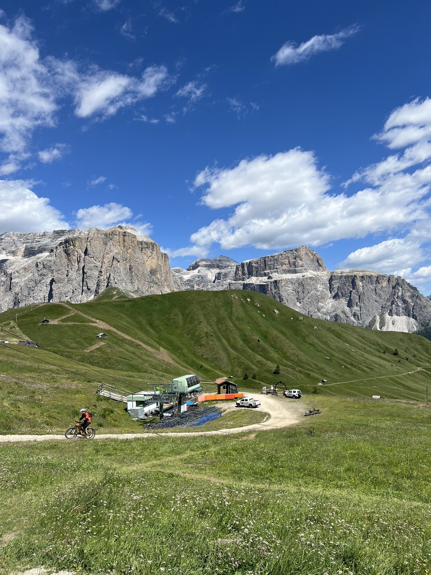
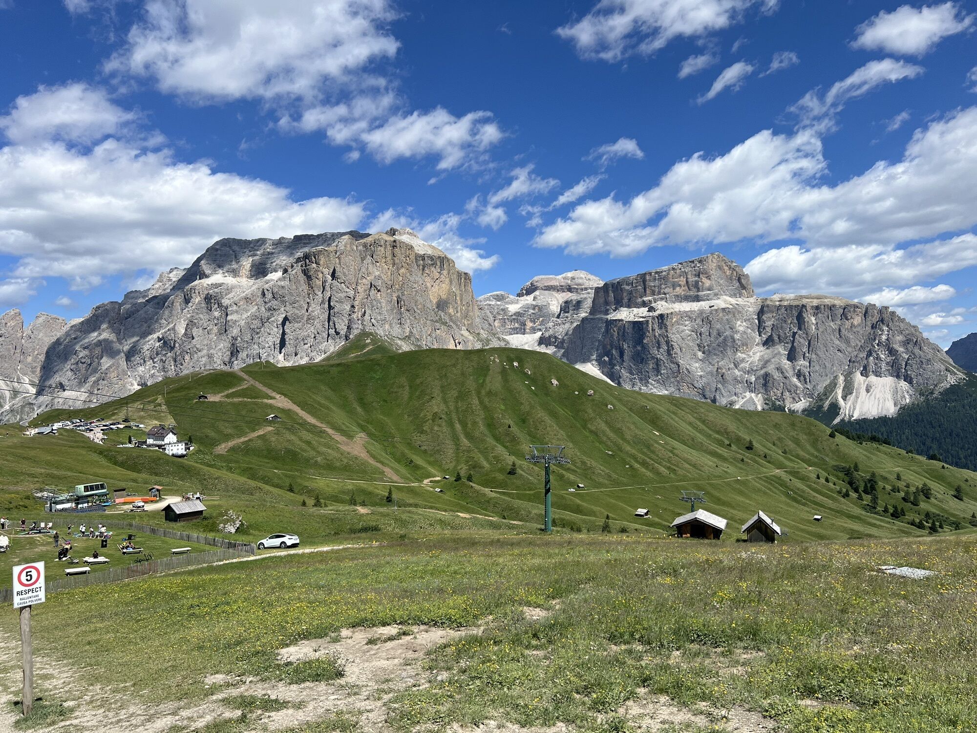
The Dolomiti Trek King takes its name from the legendary King Laurin, the hero of ancient Ladin legends set among these mountains. In autumn, the trek takes on an even more special charm: the woods turn...
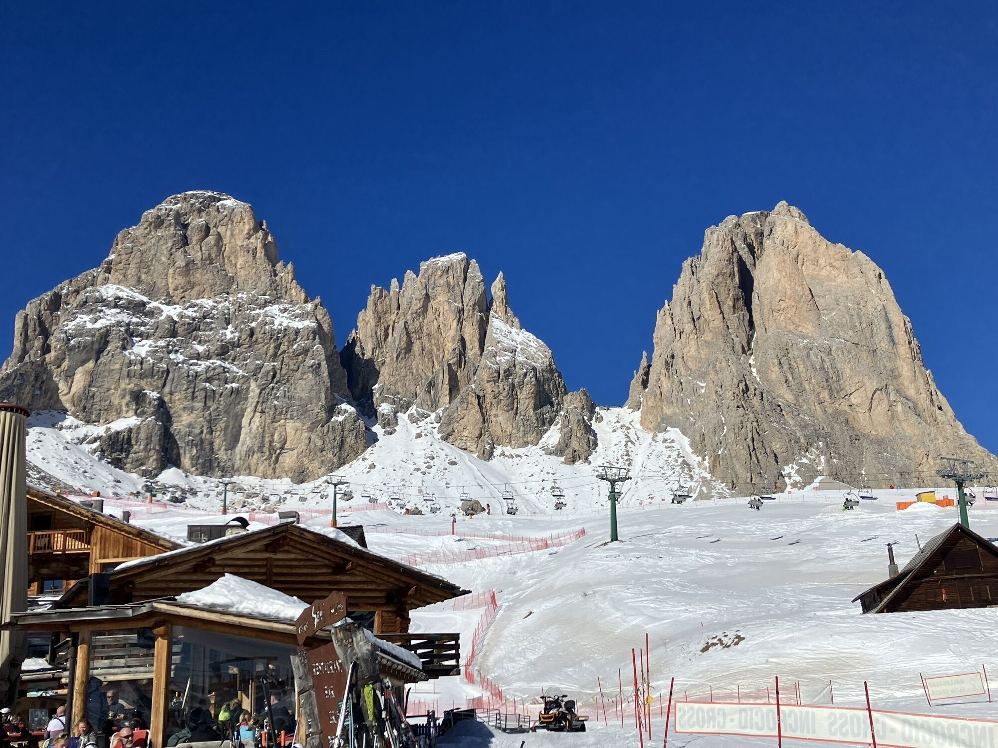
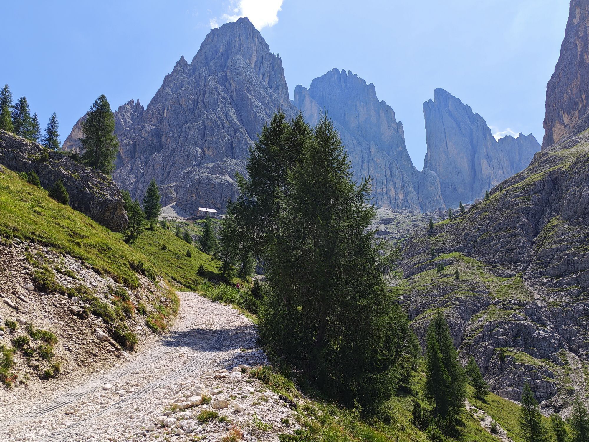
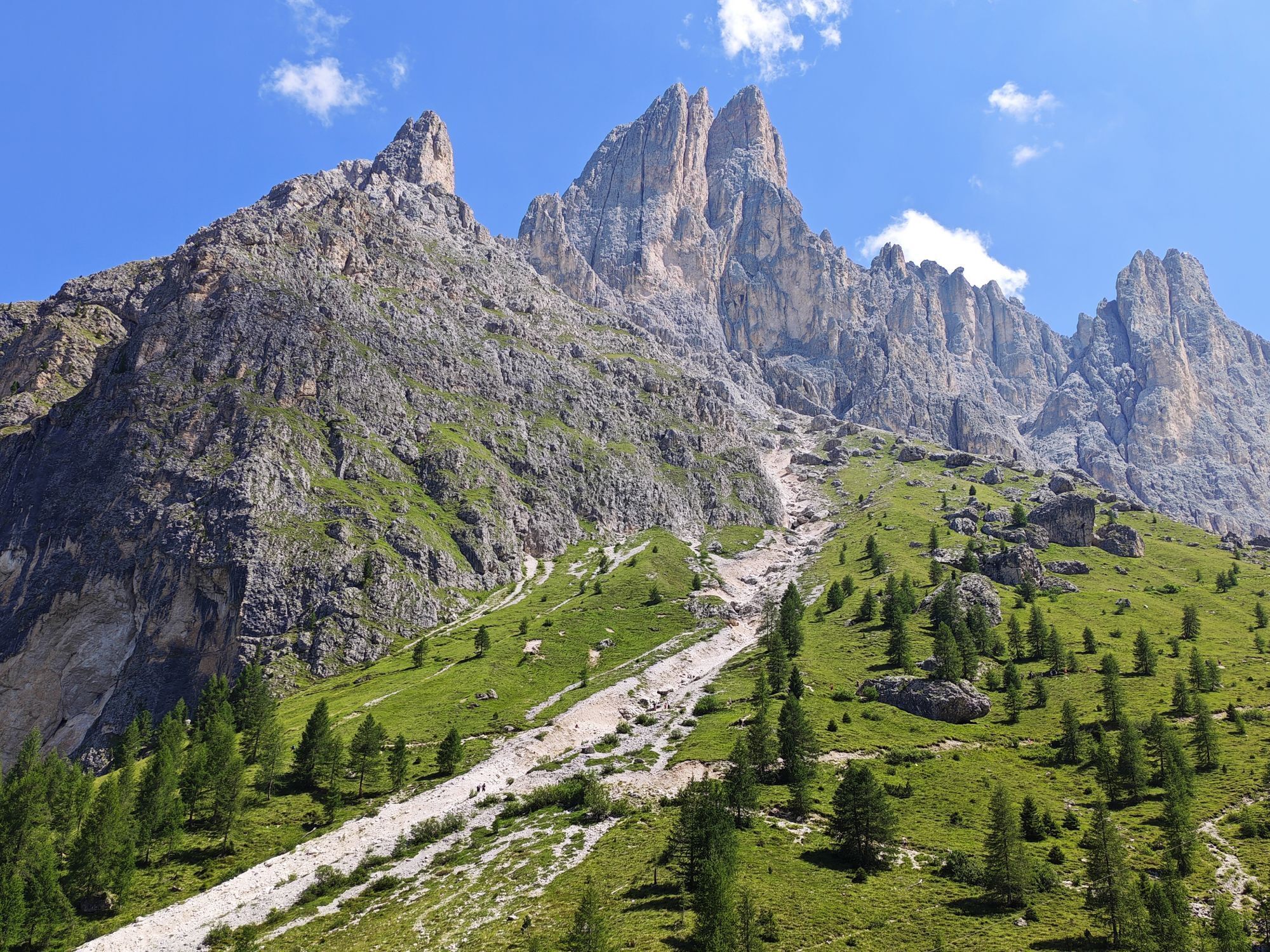
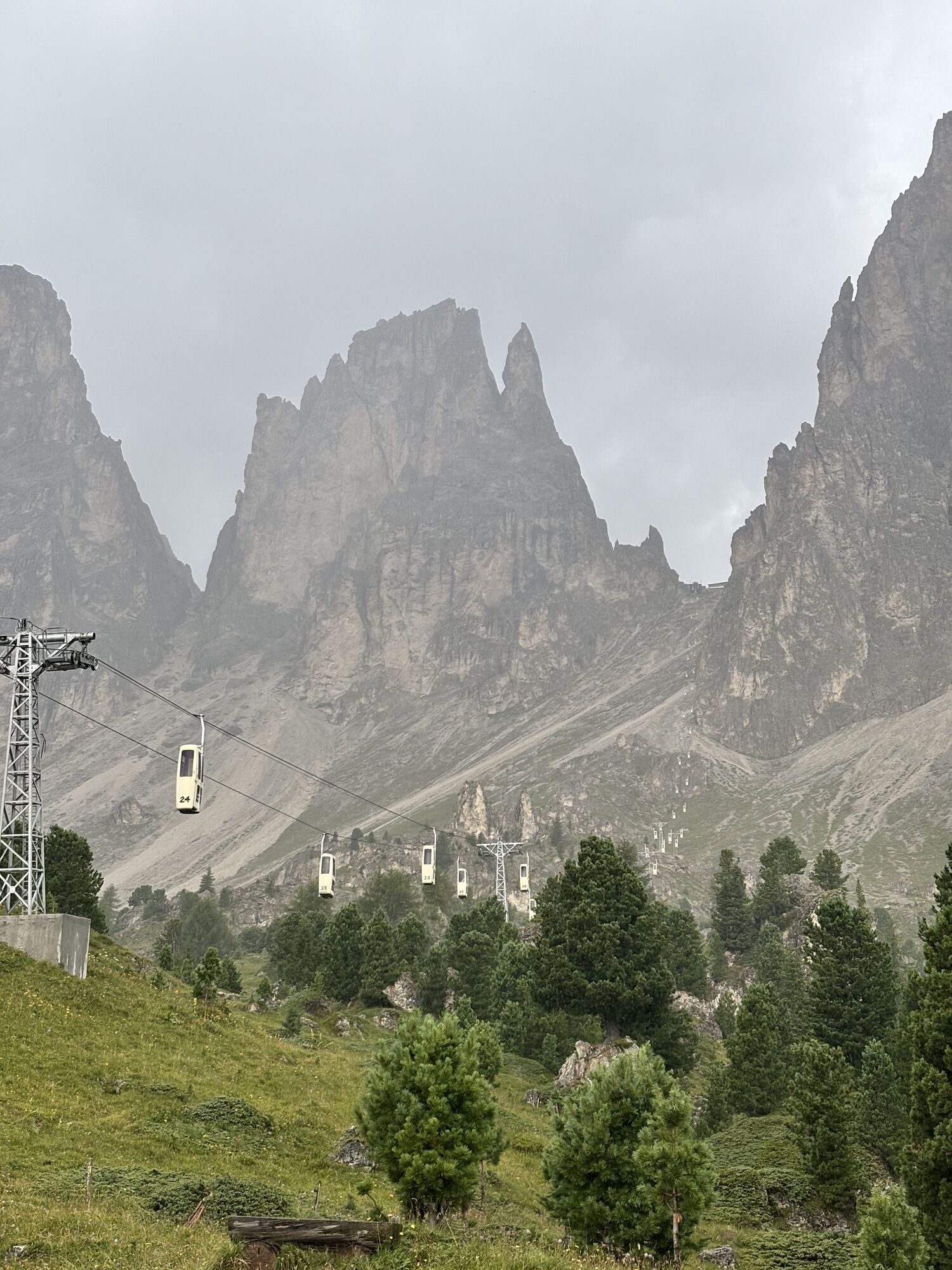
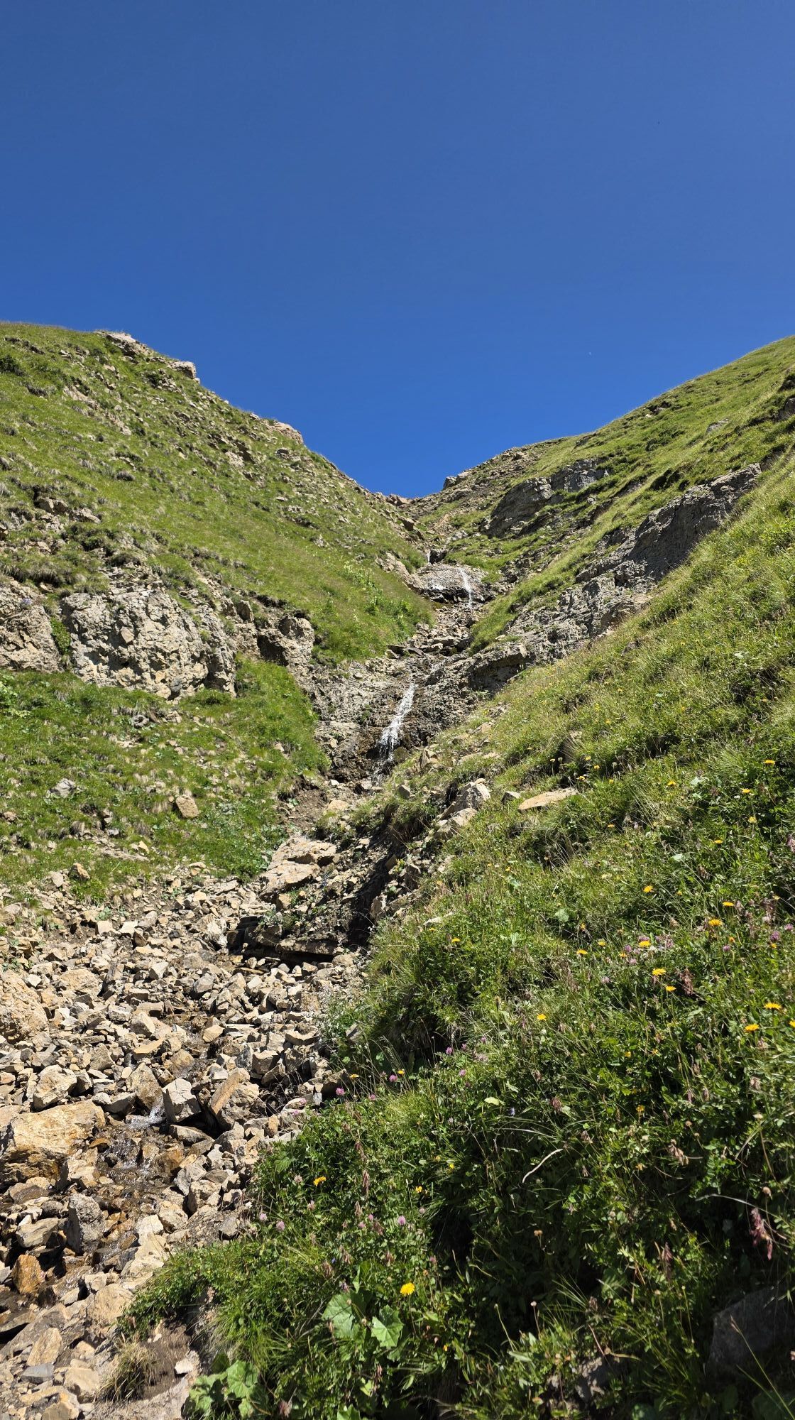
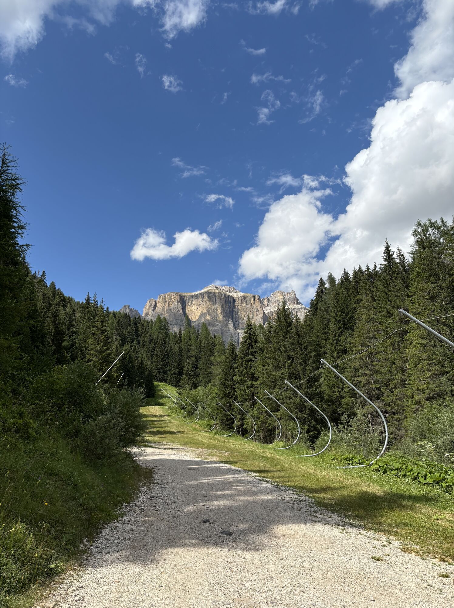
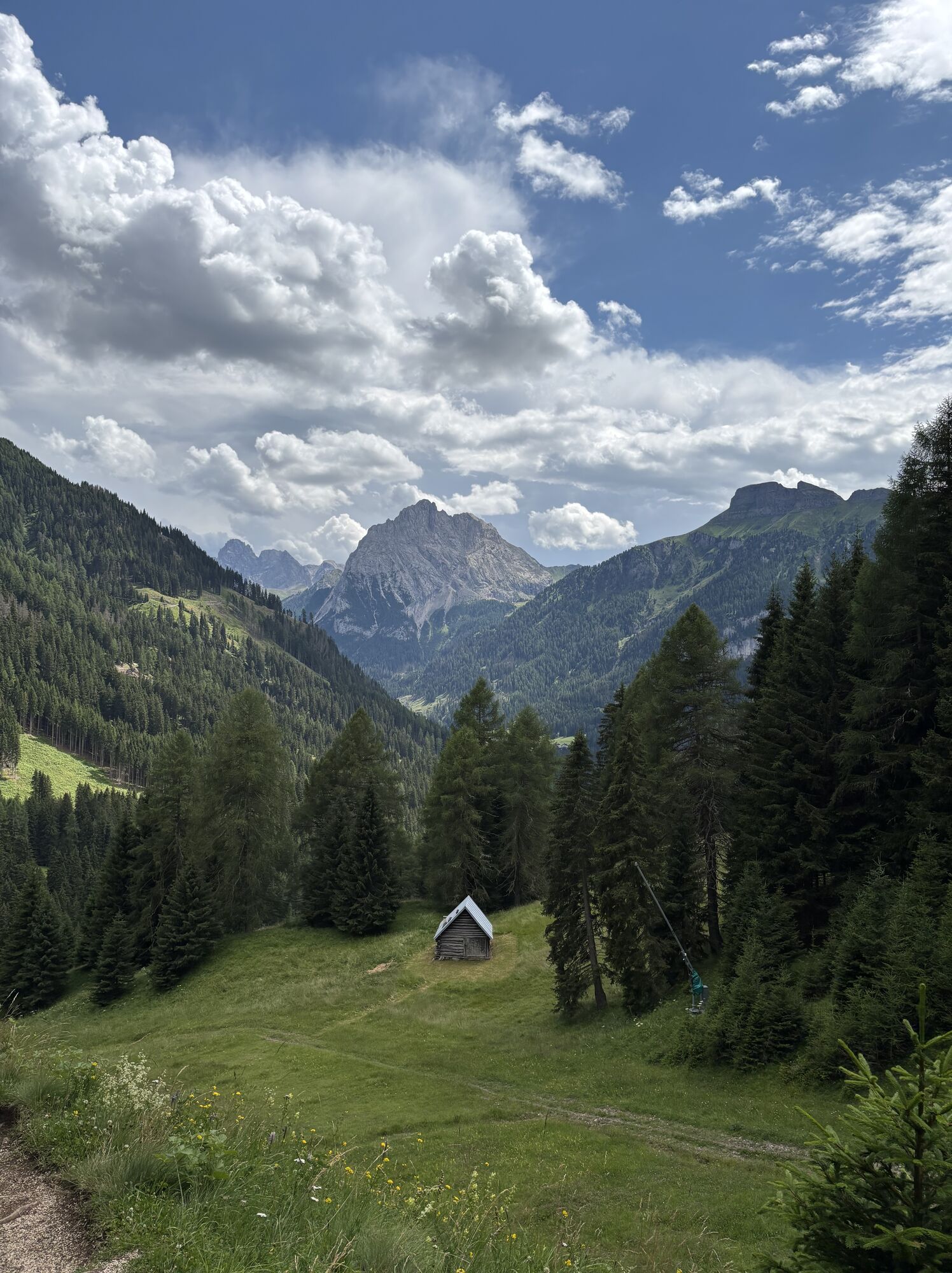
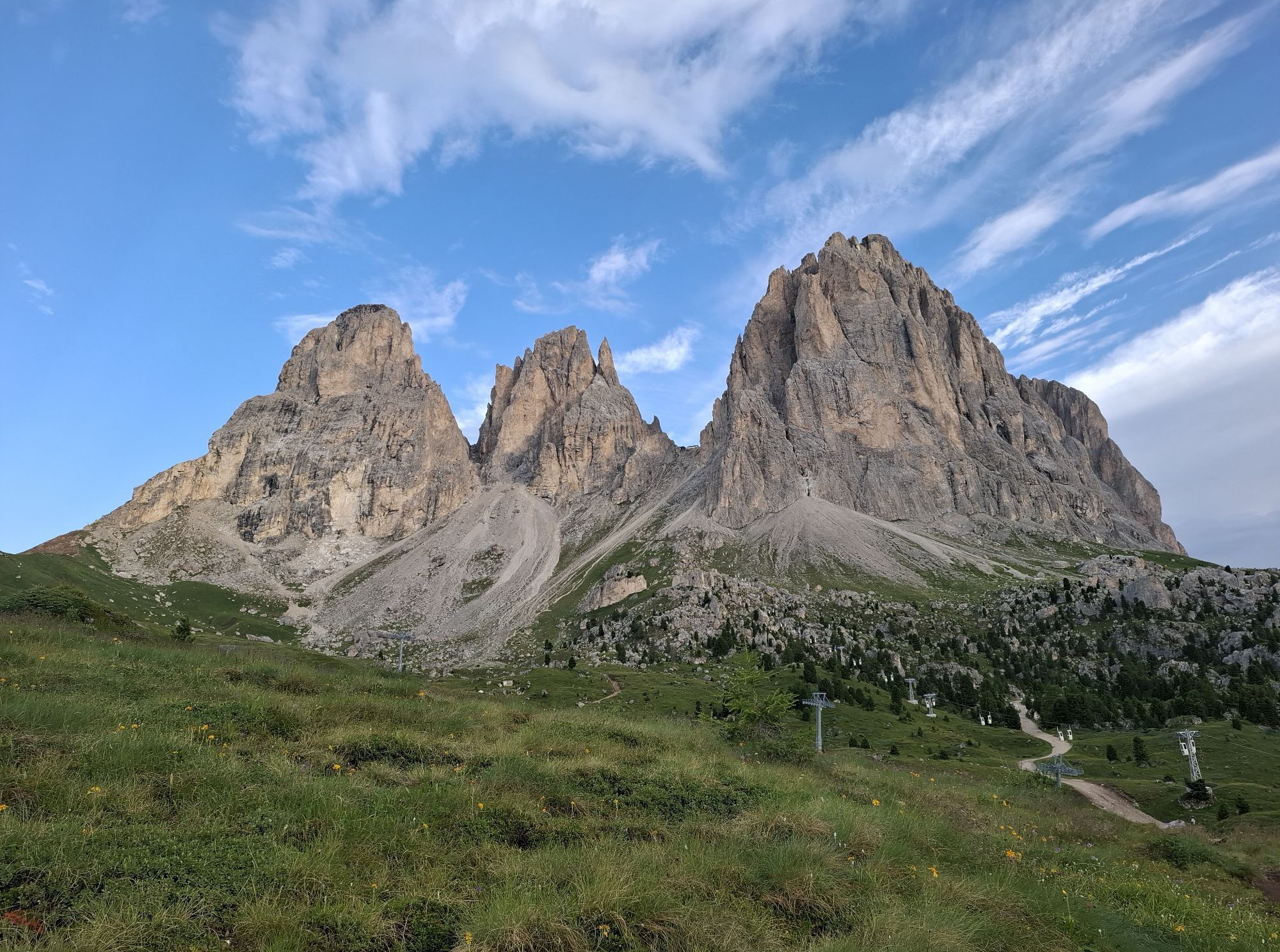
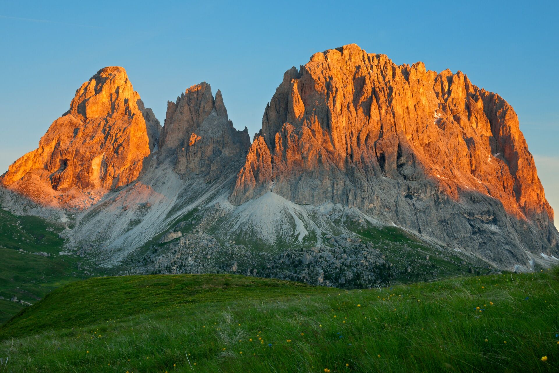
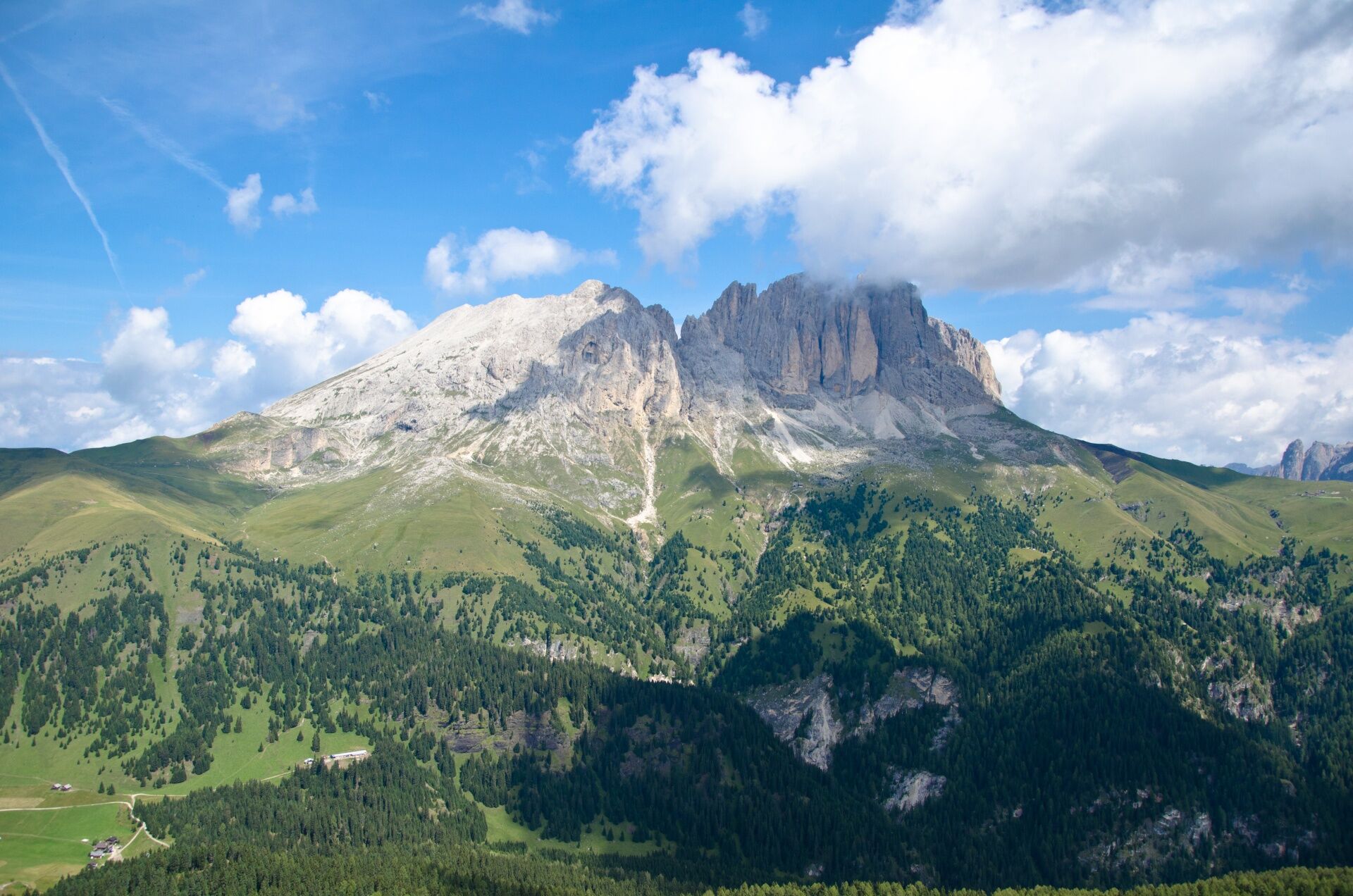
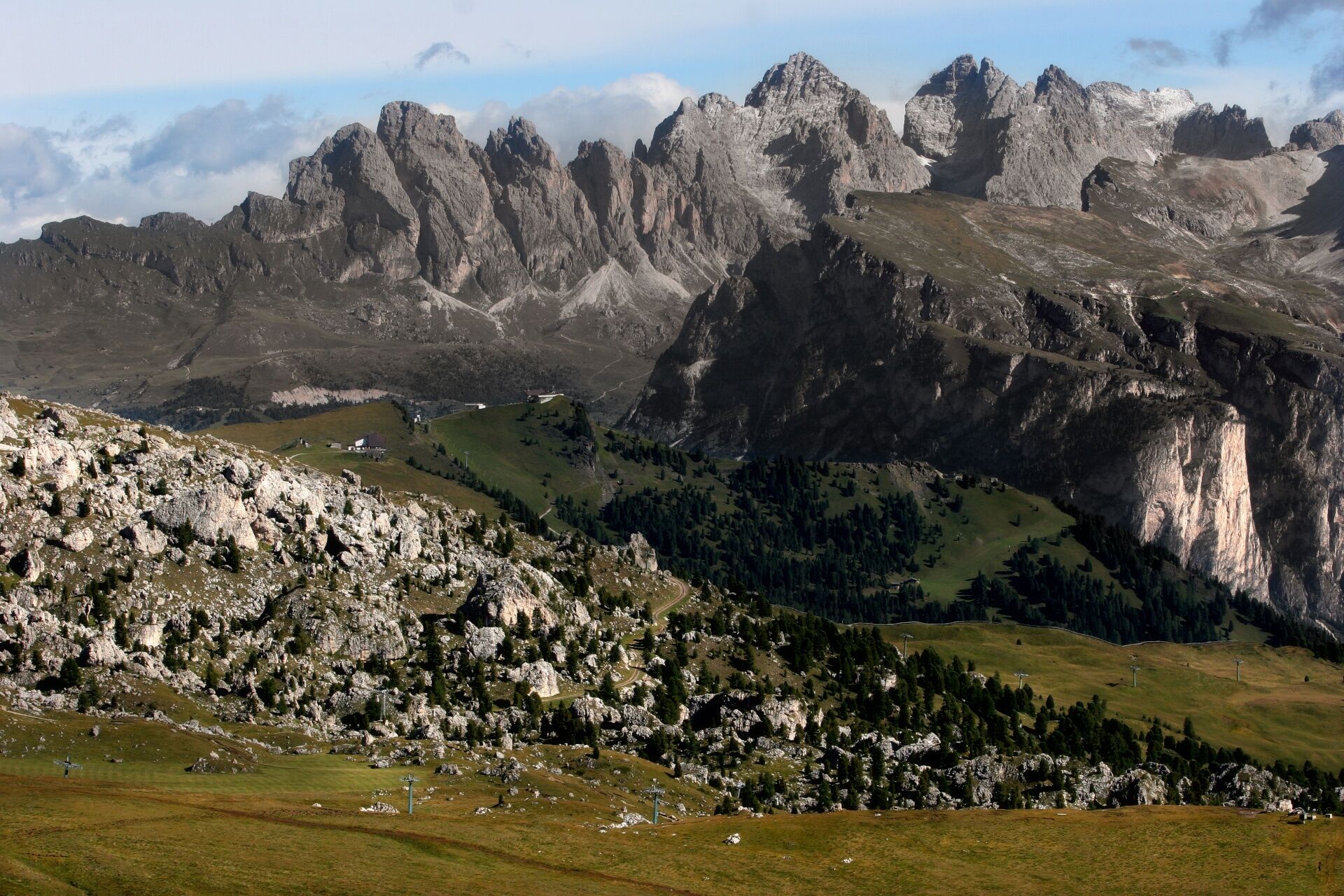
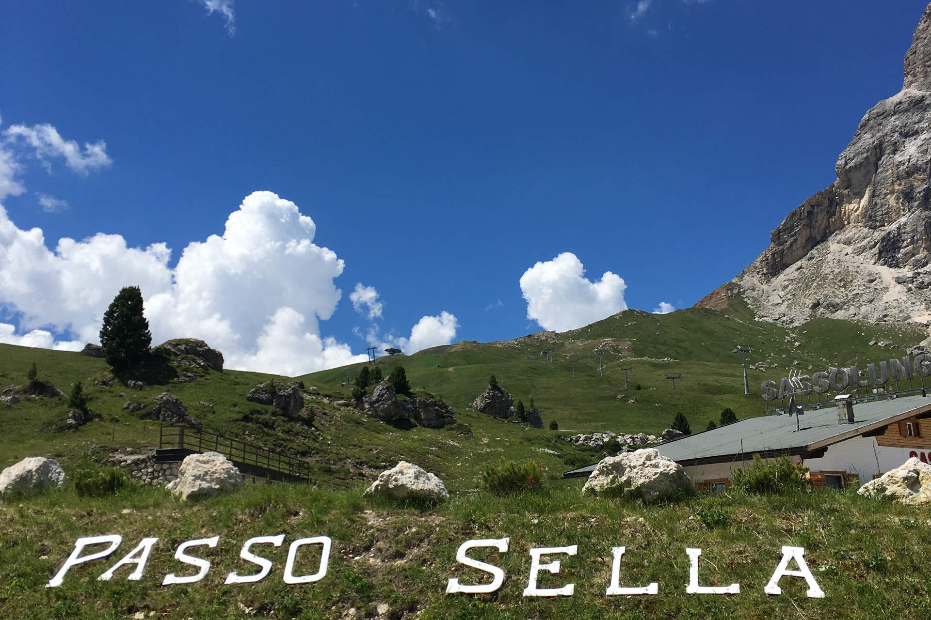
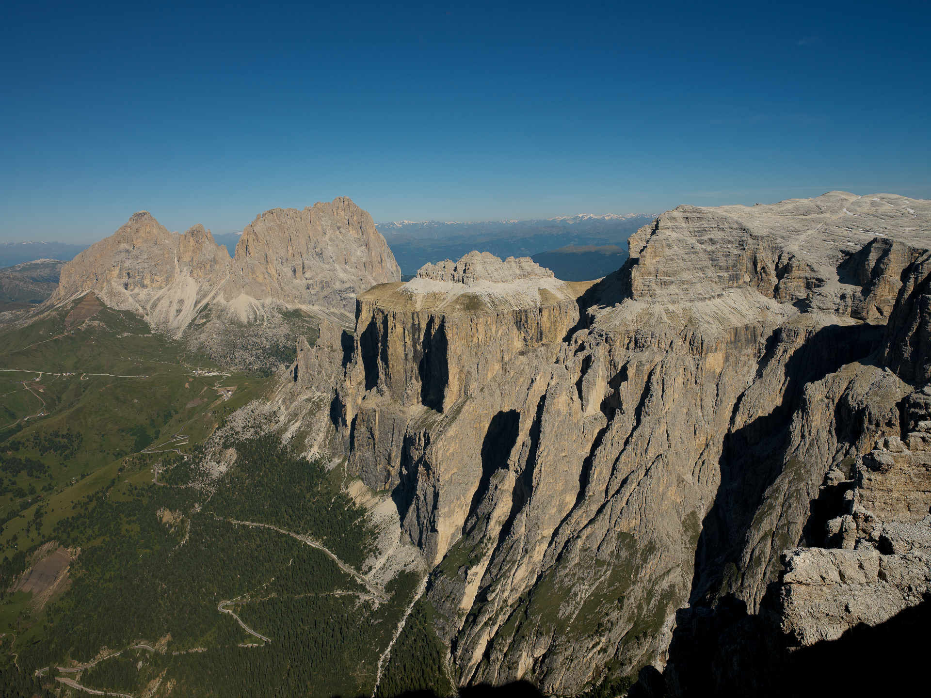
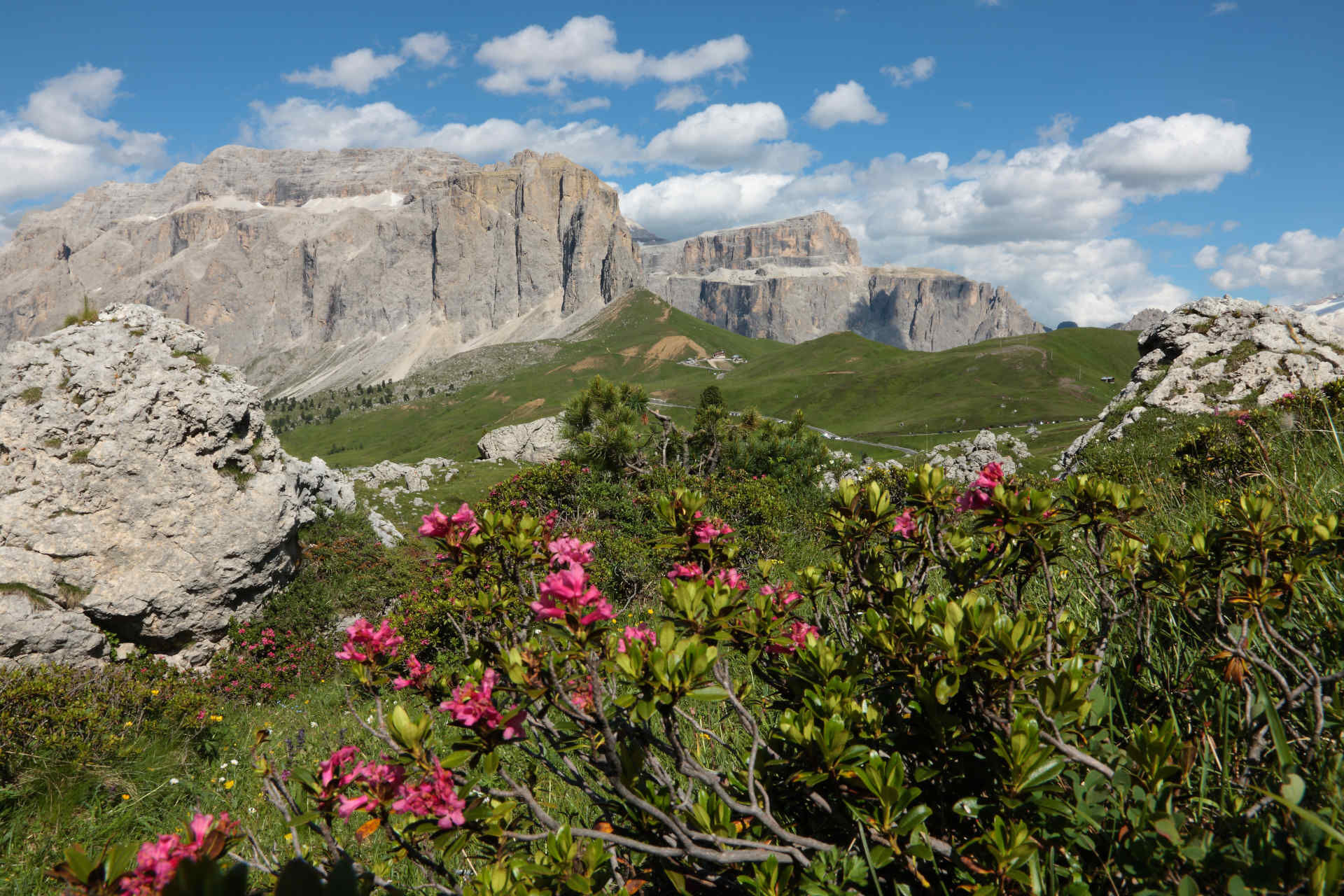
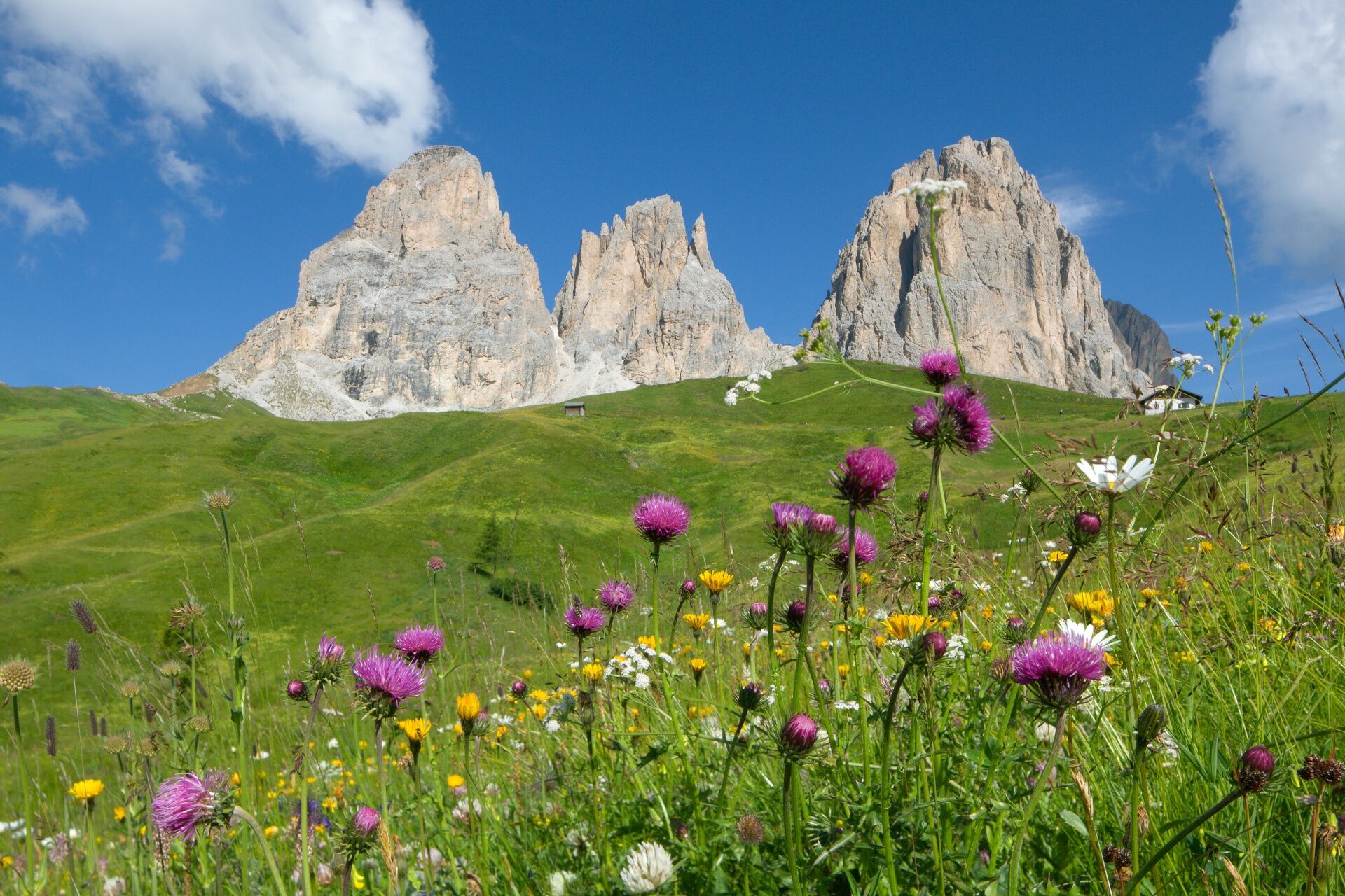
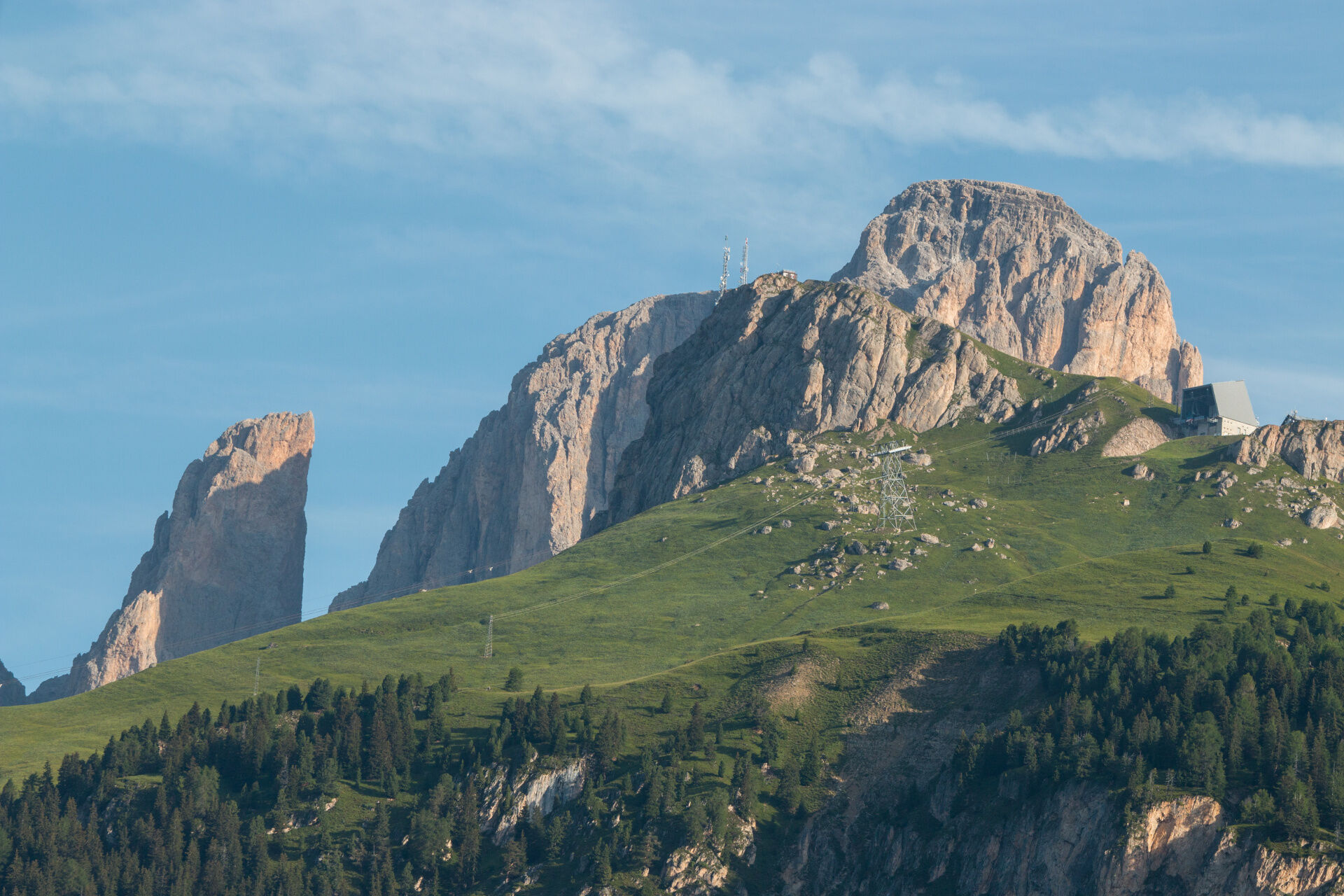
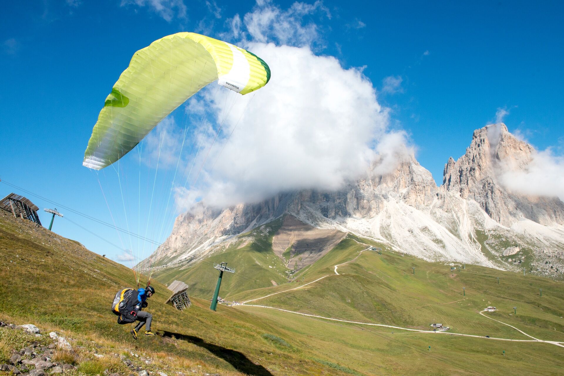
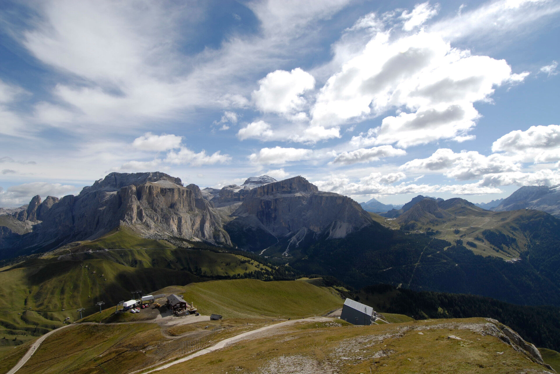
The third and final stage leads from the Sasso Piatto mountain hut to Canazei, beneath the Sassolungo massif, through the City of Stones, Val Salei and Val Mortic, known for its basalt waterfalls.

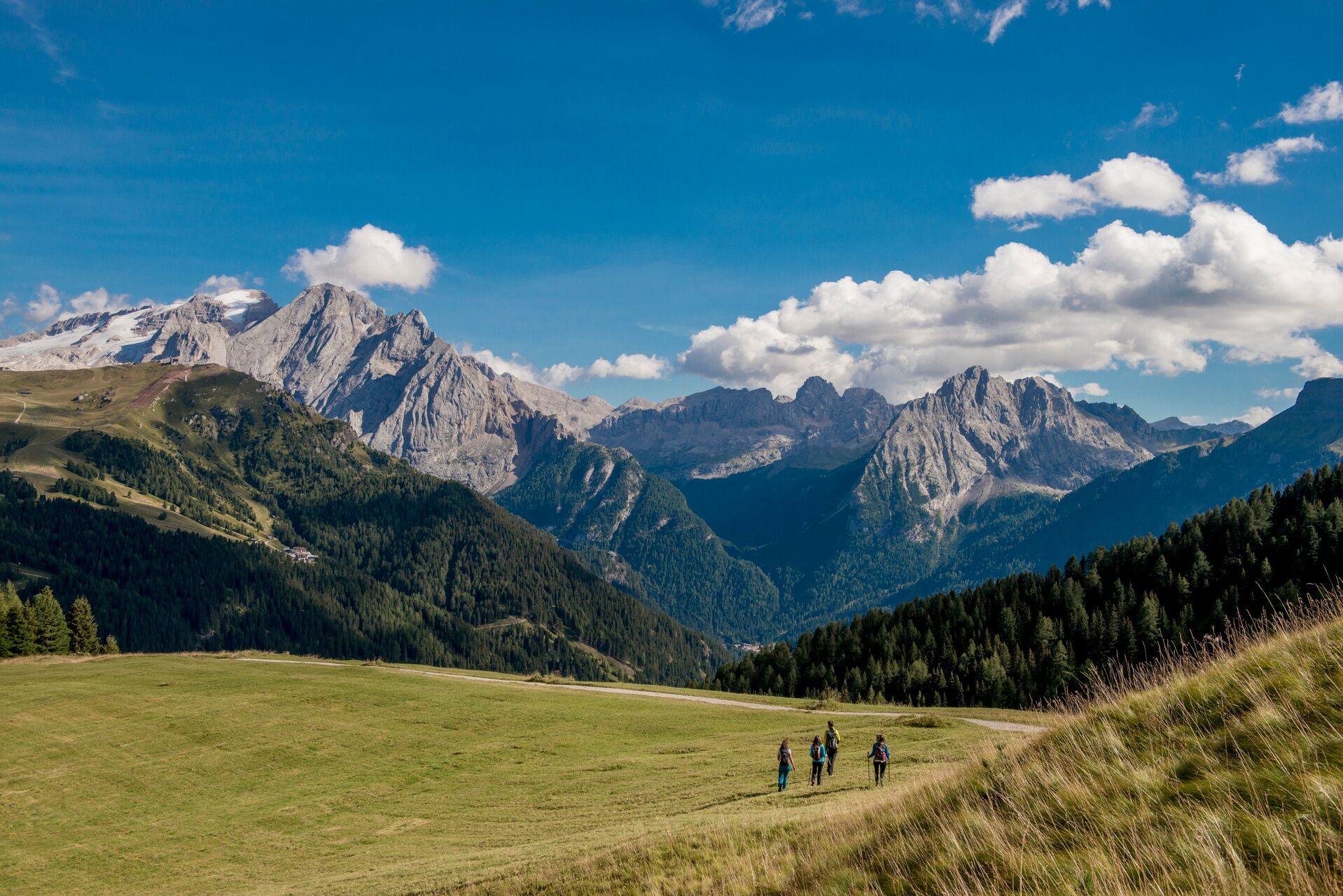

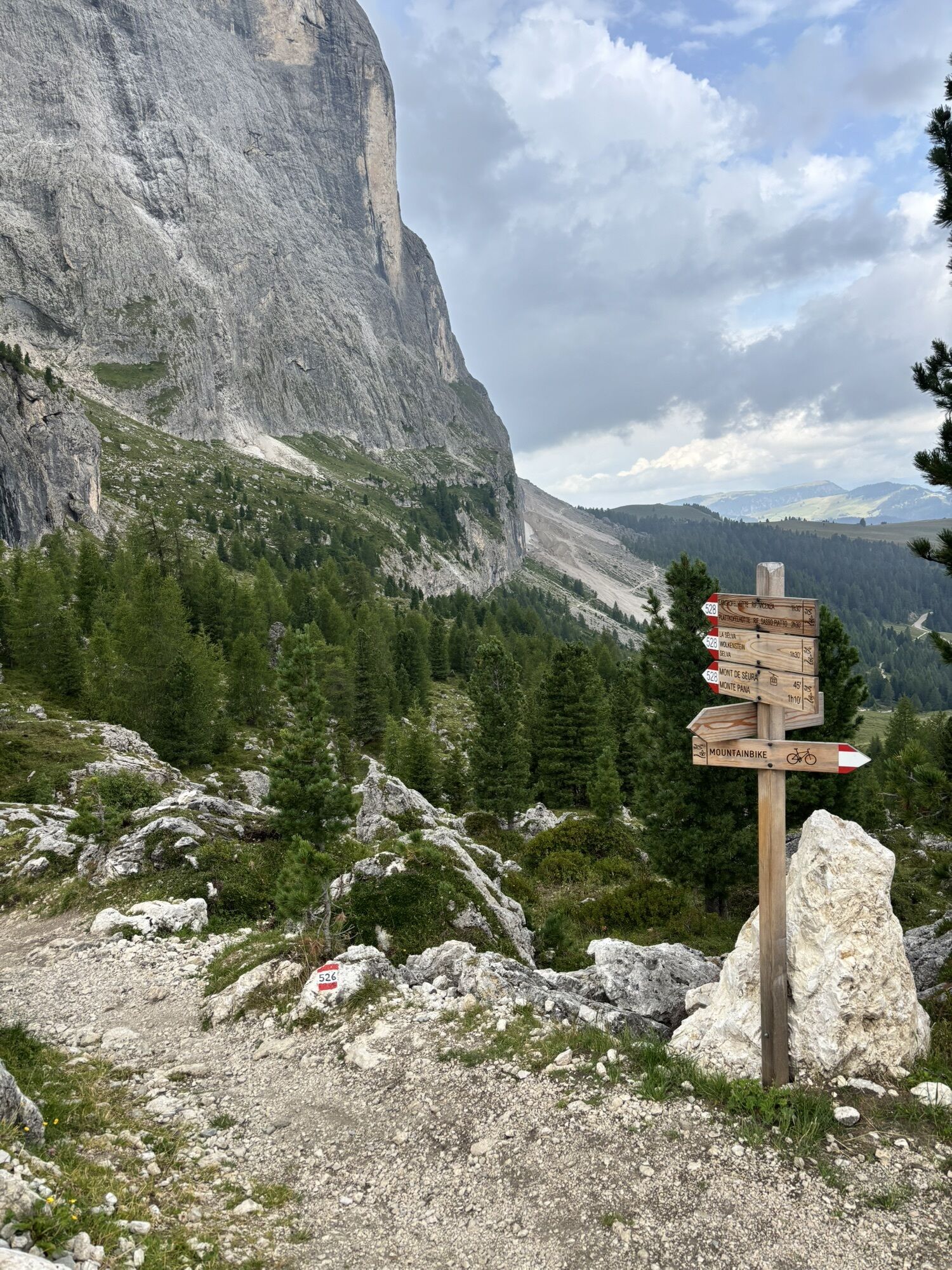
You then reach the Pecedac forest road, which you follow briefly before taking the turn-off on the right towards Mortic. Enter the woods, where a series of increasingly sharp switchbacks leads you in a striking zigzag through the trees.
Once out in the meadows, join trail no. 655, which follows the Antermont stream and descends to Canazei. From the historic centre, it is just a short walk to the Strèda de Parèda bus stop, where you can take the Trentino Trasporti bus back to Pera.
Tak
Tak
Tak
Provide clothing and equipment suitable for the effort and length of the hike and carry in your backpack what is needed for possible emergency situations, along with a minimal first aid kit.
2. Take it easy, enjoy the landscape and the silence.
3. Always prefer being accompanied by somebody. If possible, rely on a professional mountain guide.
4. Help those in need. Call the European emergency number 112 only in case of real necessity.
5. Make sure you have suitable clothes and equipment + water and snacks with you.
6. Respect the environment around you. Bring back your rubbish.
7. Follow marked trails and avoid bike park trails.
8. To help protect nature's wonders, please leave everything exactly as you found it.
9. Bring your pet along, but keep it on a leash.
Other access routes to Val di Fassa
From the A27 motorway (Venice), Belluno/Ponte nelle Alpi exit: SS 203 to Agordo, then SP 346 over Passo San Pellegrino to Moena (Val di Fassa). From the Moena bypass, continue towards Canazei From the A27 motorway (Venice), Belluno/Ponte nelle Alpi exit: SS 203 to Agordo/Alleghe/Rocca Pietore, then SP 641 over Passo Fedaia to Canazei From Arabba: SS 48 over Passo Pordoi to Canazei From Val Gardena: SS 242 over Passo Sella to Canazeisüdtirolmobil bus lines - Val di Fassa
Line 180: Vigo di Fassa - Passo Carezza - Bolzano Line 471 Dolomite Passes: Passo Sella - Passo Gardena - Passo Campolongo - Passo Pordoi - Passo Fedaia. Service operates in summer onlyT2
Tourist Board Val di Fassa
Strèda Roma, 36
38032 Canazei (TN)
Phone +39 0462 609500
info@fassa.com
www.fassa.com
The itinerary consists of 3 stages along well-marked CAI-SAT trails. From any point along the route, you can return to the valley using the lifts, shuttle services or local public transport.

Kamery internetowe z trasy
-
Ciampinoi
-
Plan de Gralba
-
Tublà
-
Col dei Rossi
-
St. Christina
-
St. Ulrich - Seiser Alm
-
St. Christina - Gröden - Dorfhotel Beludei
-
Rifugio Maria Sass Pordoi
-
Val Gardena - Ciampinoi
-
Val Gardena - Citta dei Sassi
-
Val Gardena - Dantercepies
-
Pordoi - Pass
-
Canazei - Col dei Rossi
-
Canazei - Col dei Rossi
-
Canazei - Col dei Rossi
-
Canazei - Col Rodella
-
Canazei - Col dei Rossi
-
Canazei - Col dei Rossi
-
Canazei - Col dei Rossi
-
Canazei - Col dei Rossi
-
Canazei - Col dei Rossi
-
Canazei - Ciampac
-
Talstation Col Raiser
-
Ciampinoi
-
Dantercepies
-
Ciampinoi
-
Ciampinoi
-
Ciampinoi
-
Ciampinoi
-
Ciampinoi
-
Dantercepies
-
Dantercepies
-
Dantercepies
-
Dantercepies
-
Dantercepies
-
Piz Sella
-
Piz Sella
-
Canazei - Ciampac
-
Canazei - Ciampac
-
Canazei - Ciampac



Popularne wycieczki w okolicy
-
4,8
The Munkelweg trail beneath the Geisler peaks
średniWędrówka 9,11 km -
4,1
Der Friedrich-August-Weg
średniWędrówka 10,4 km -
4,8
Pordoi Pass - Sass Pordoi - Forcella Pordoi - Piz Boè - Boè Refuge - Forcella Pordoi - Pordoi Pass
ciężkiWędrówka 8,39 km -
5,0
Langkofel Klettersteig/Ferrata Furcela de Saslonch
ciężkiVia ferrata 7,07 km -
5,0
Um den Langkofel
średniWędrówka 9,76 km -
4,4
Viel dal pan
światłoWędrówka 6,60 km -
4,9
Tour zur Prossliner Schwaige entlang vieler Wasserfälle.
średniWędrówka 13,9 km -
4,9
Lang- und Plattkofel Umrundung
średniWędrówka 17,5 km -
4,8
Schlern Bersteigung
średniWędrówka 19,1 km -
4,8
Santnerpass Klettersteig
średniVia ferrata 8,29 km

Wędrówki i tropienie


Nie przegap ofert i inspiracji na następne wakacje
Twój adres e-mail została dodana do listy mailingowej.





