






Stage 4 Dolomiti Trek King Short Experience - Between pastures and huts of Val San Nicolò
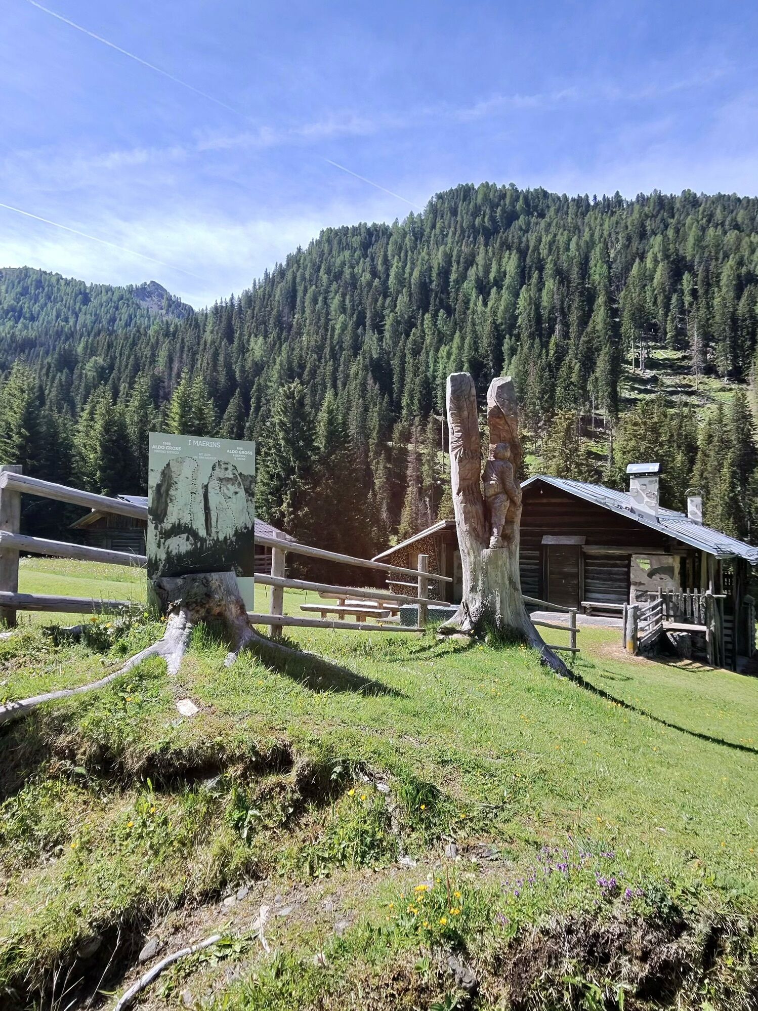
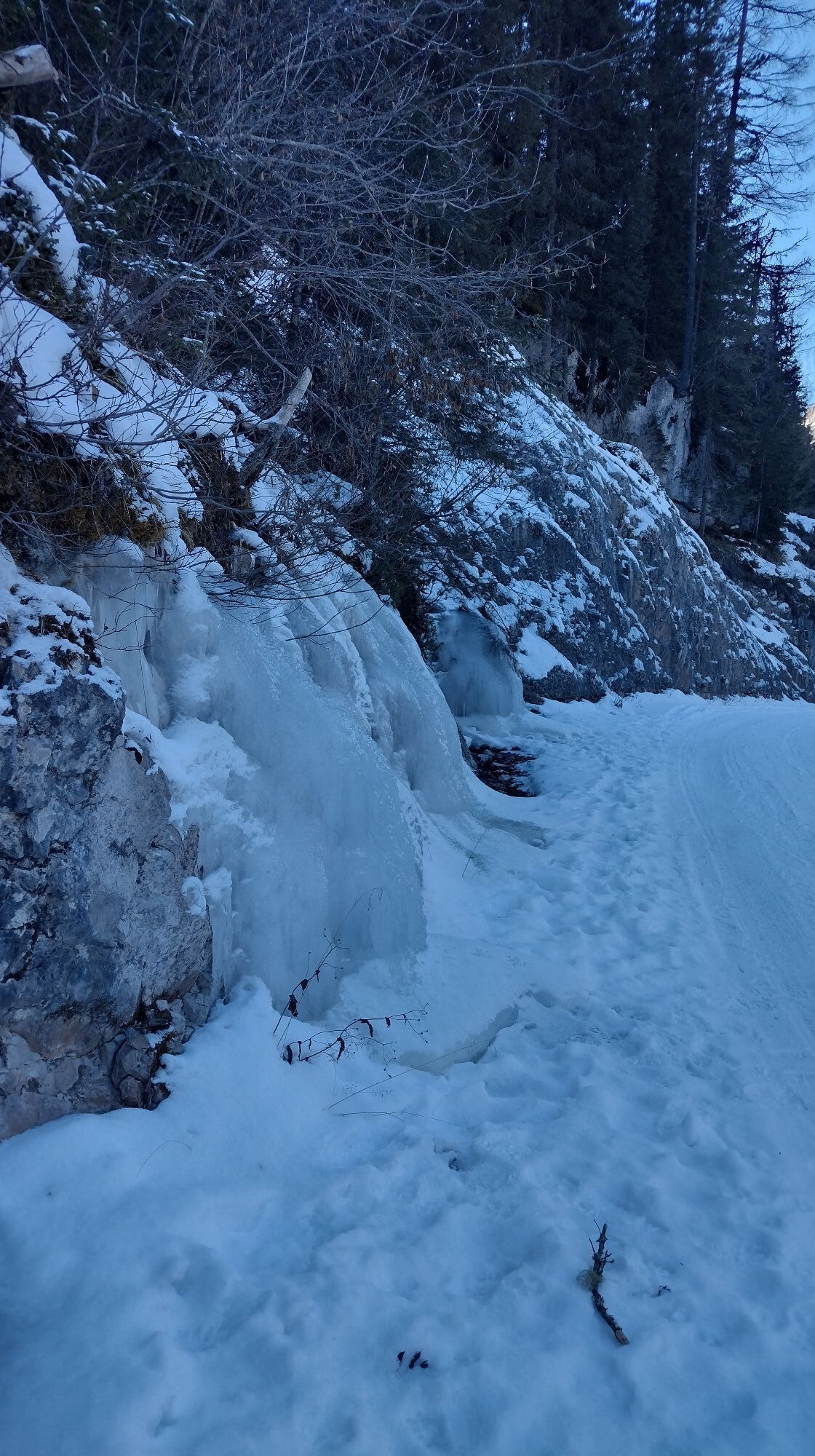
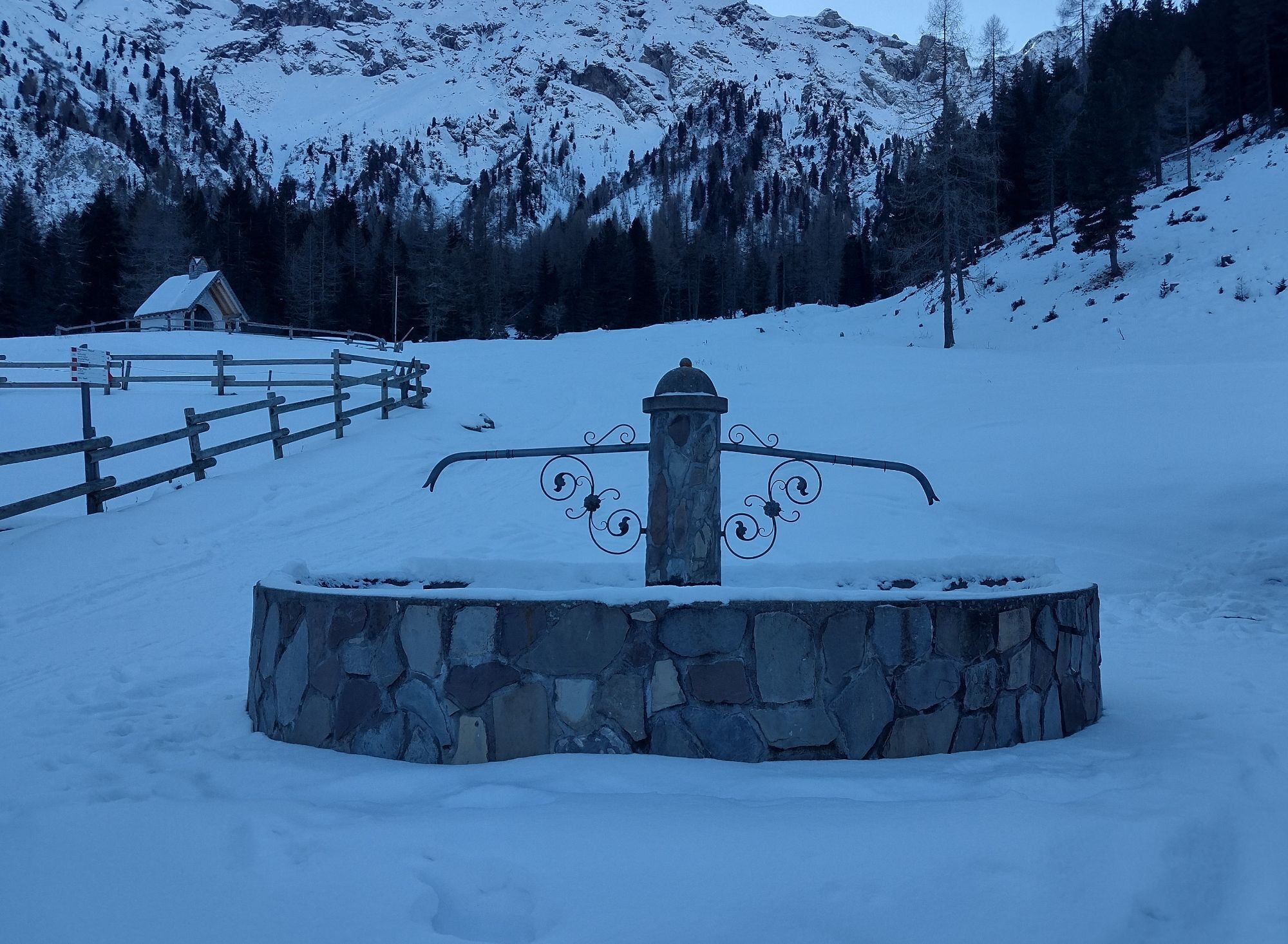
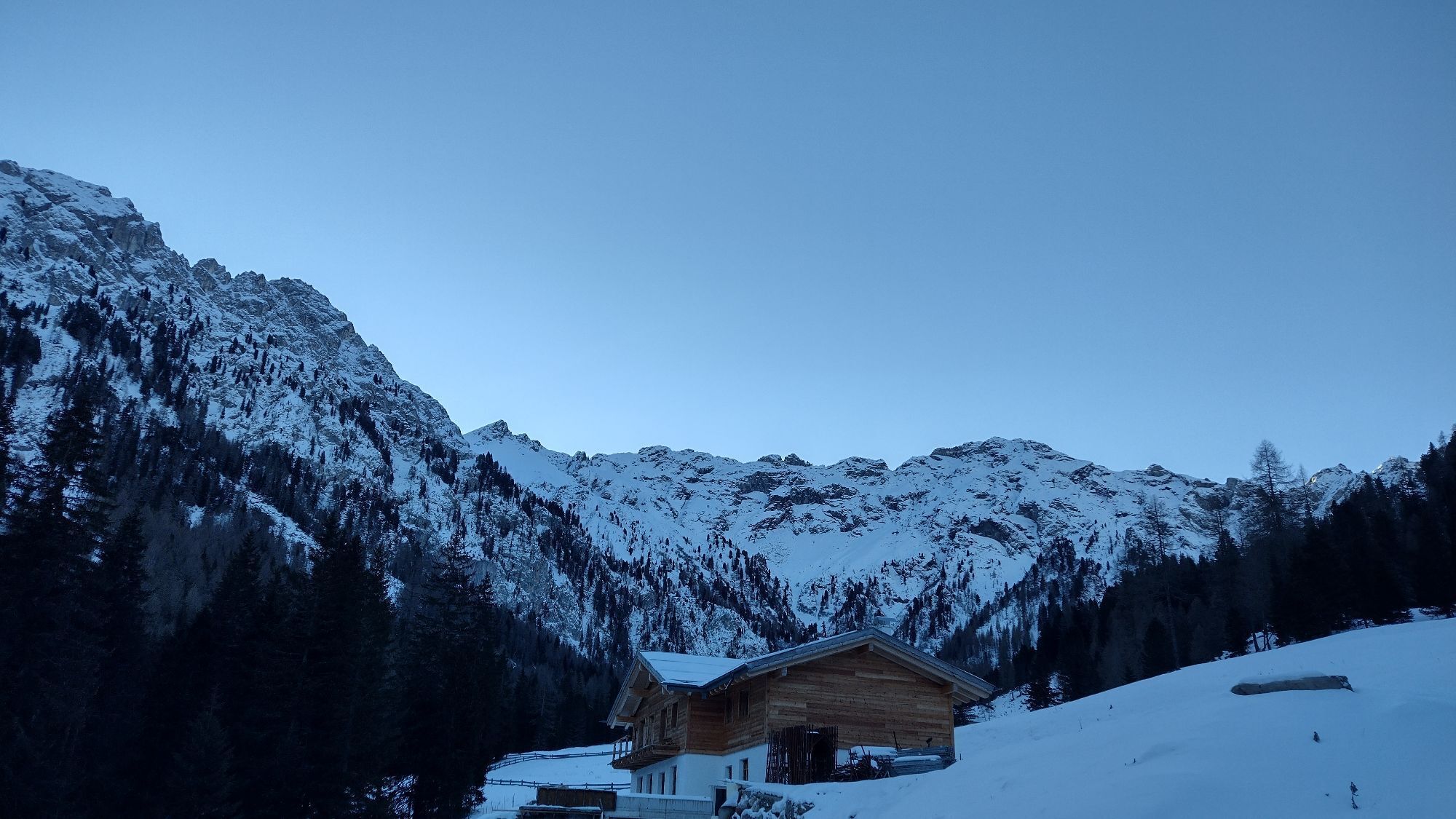
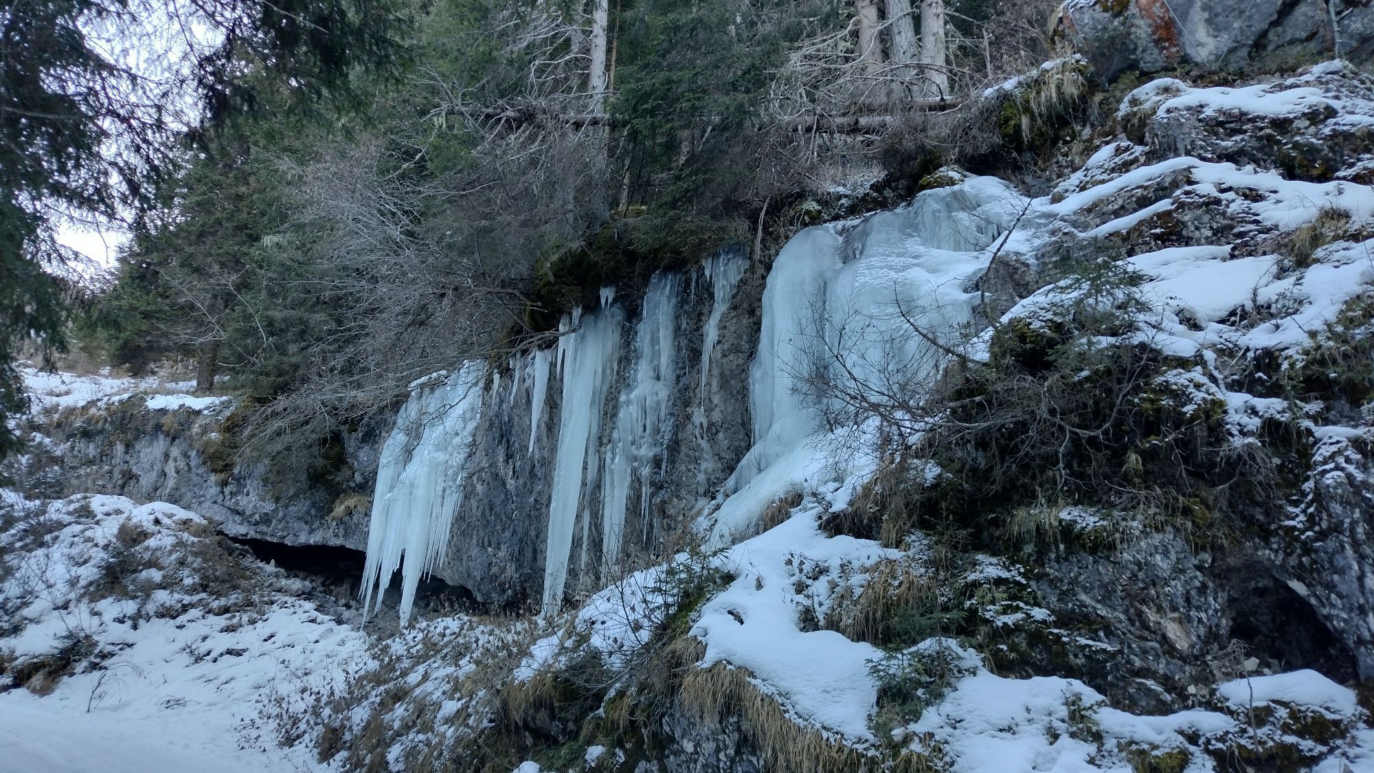

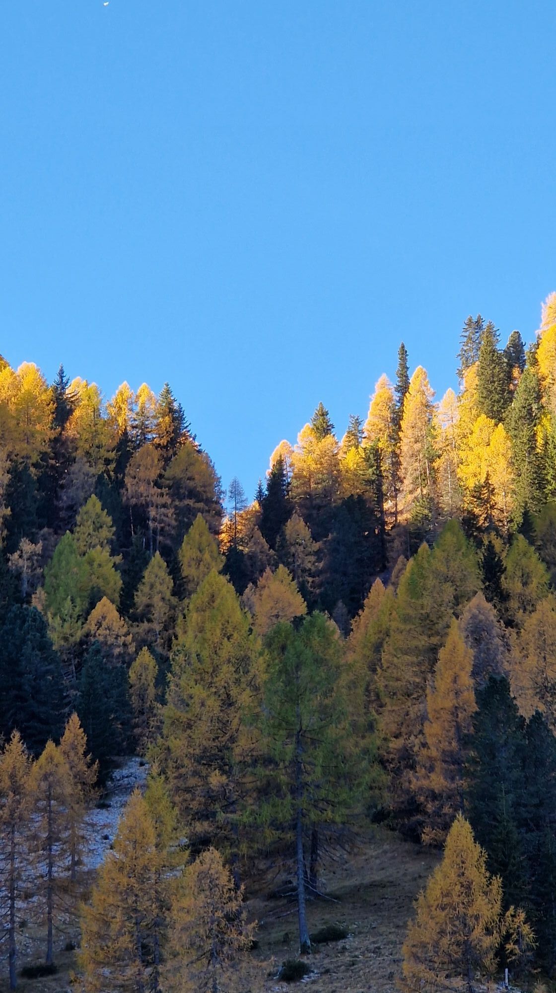

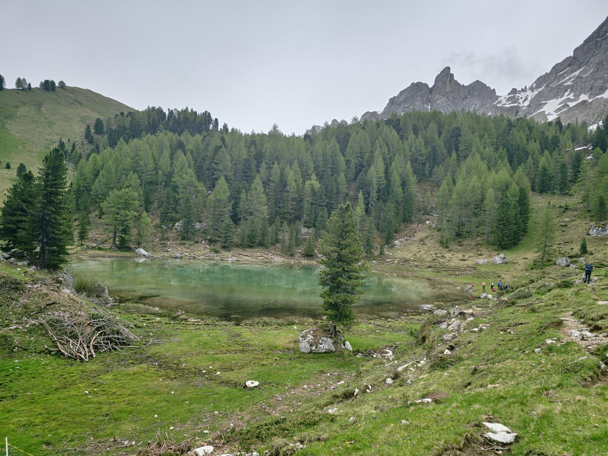
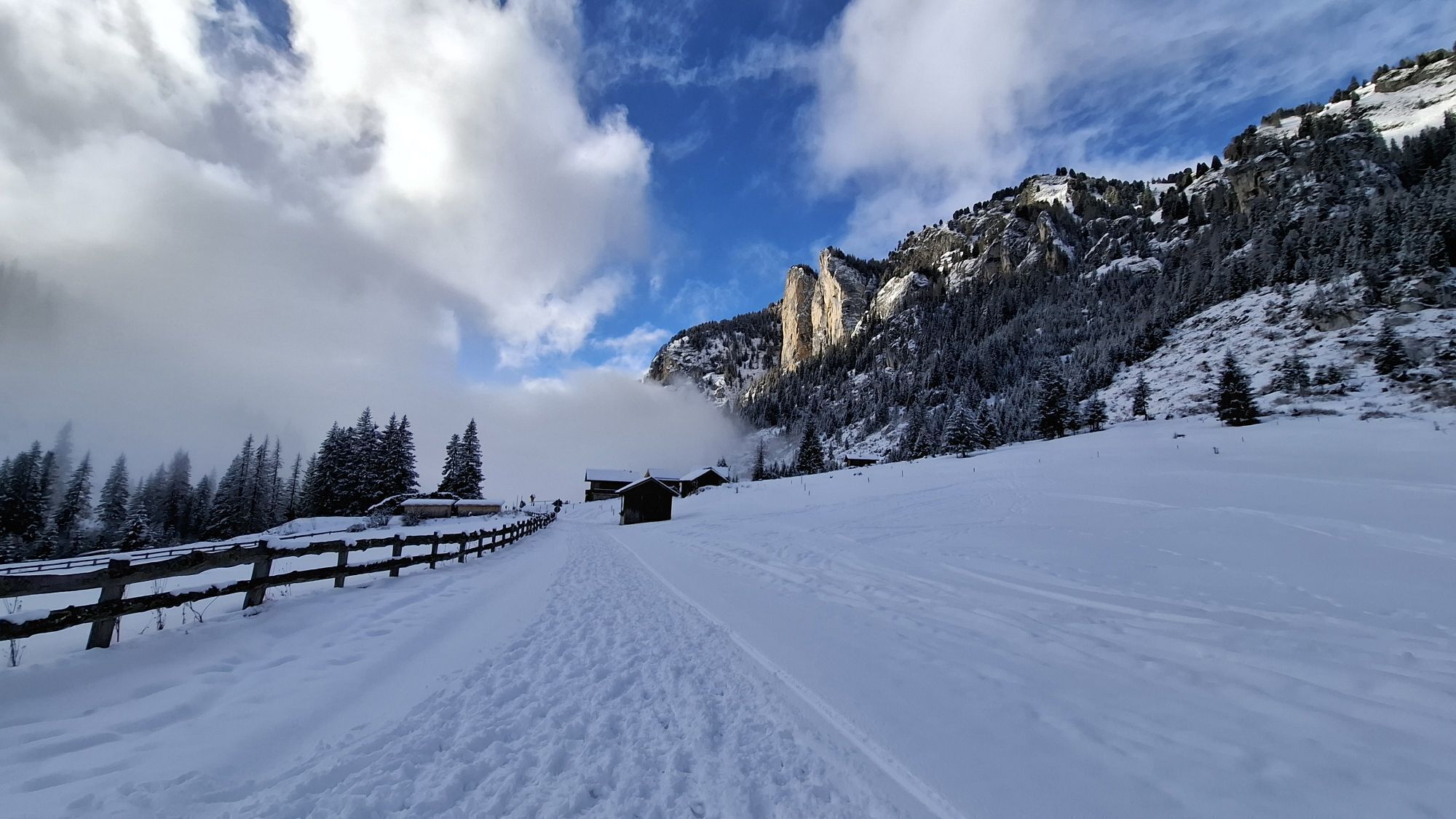
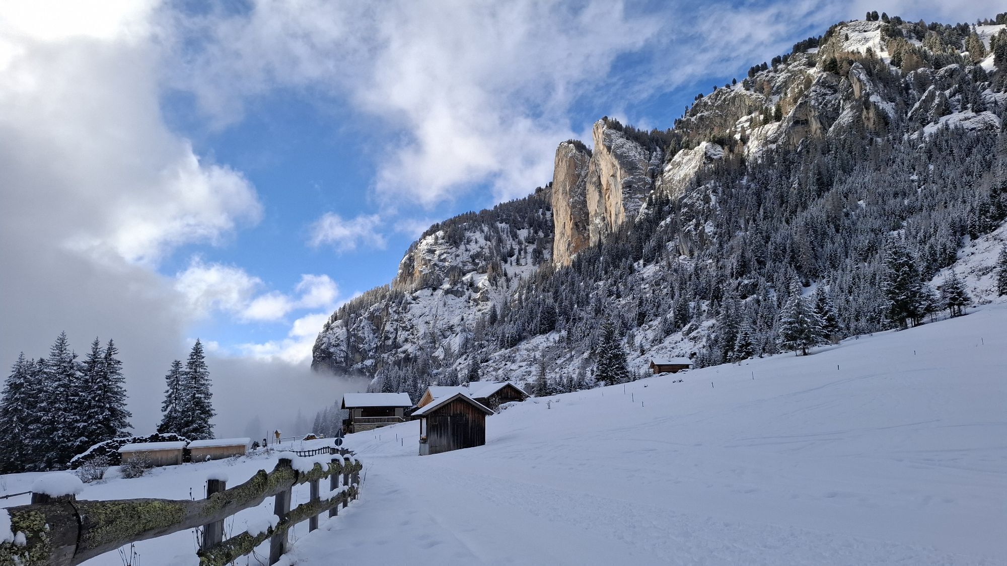
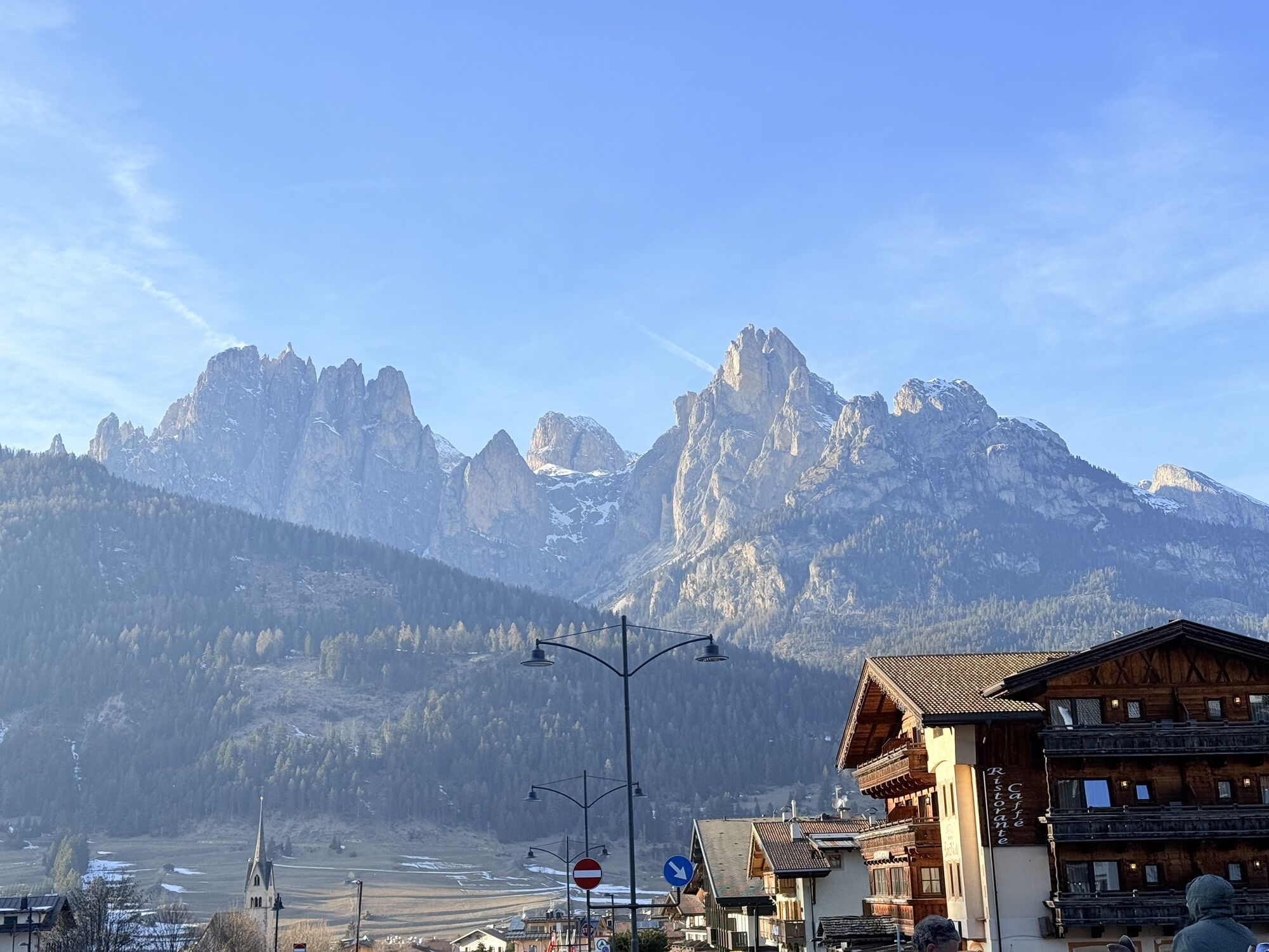
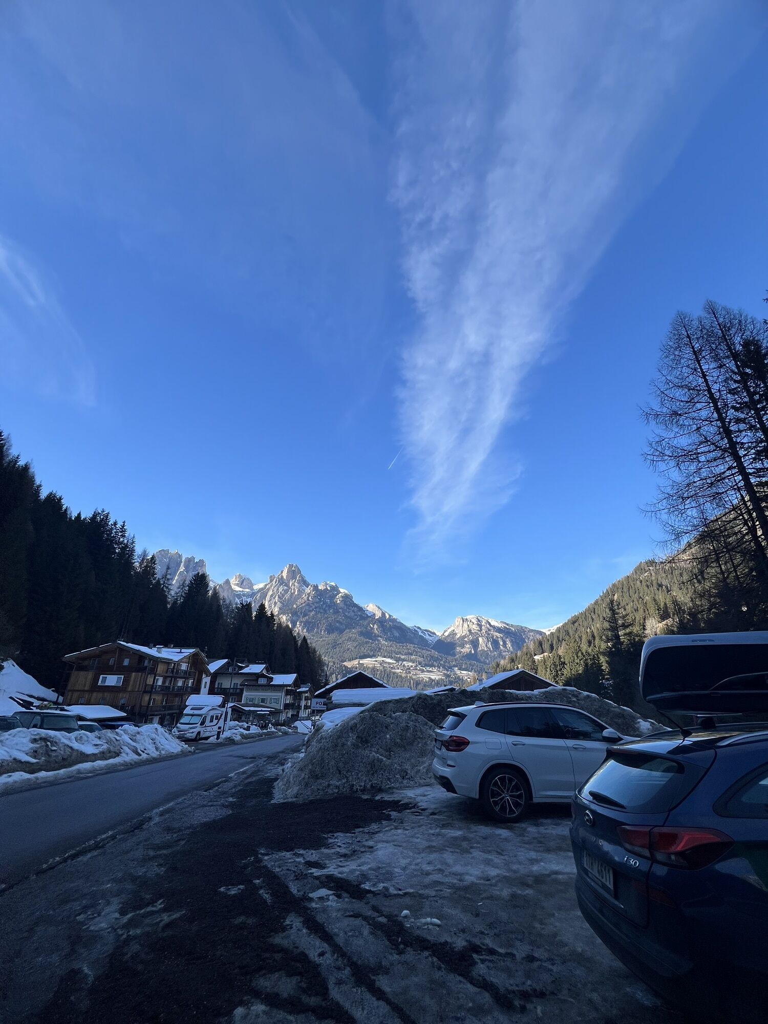
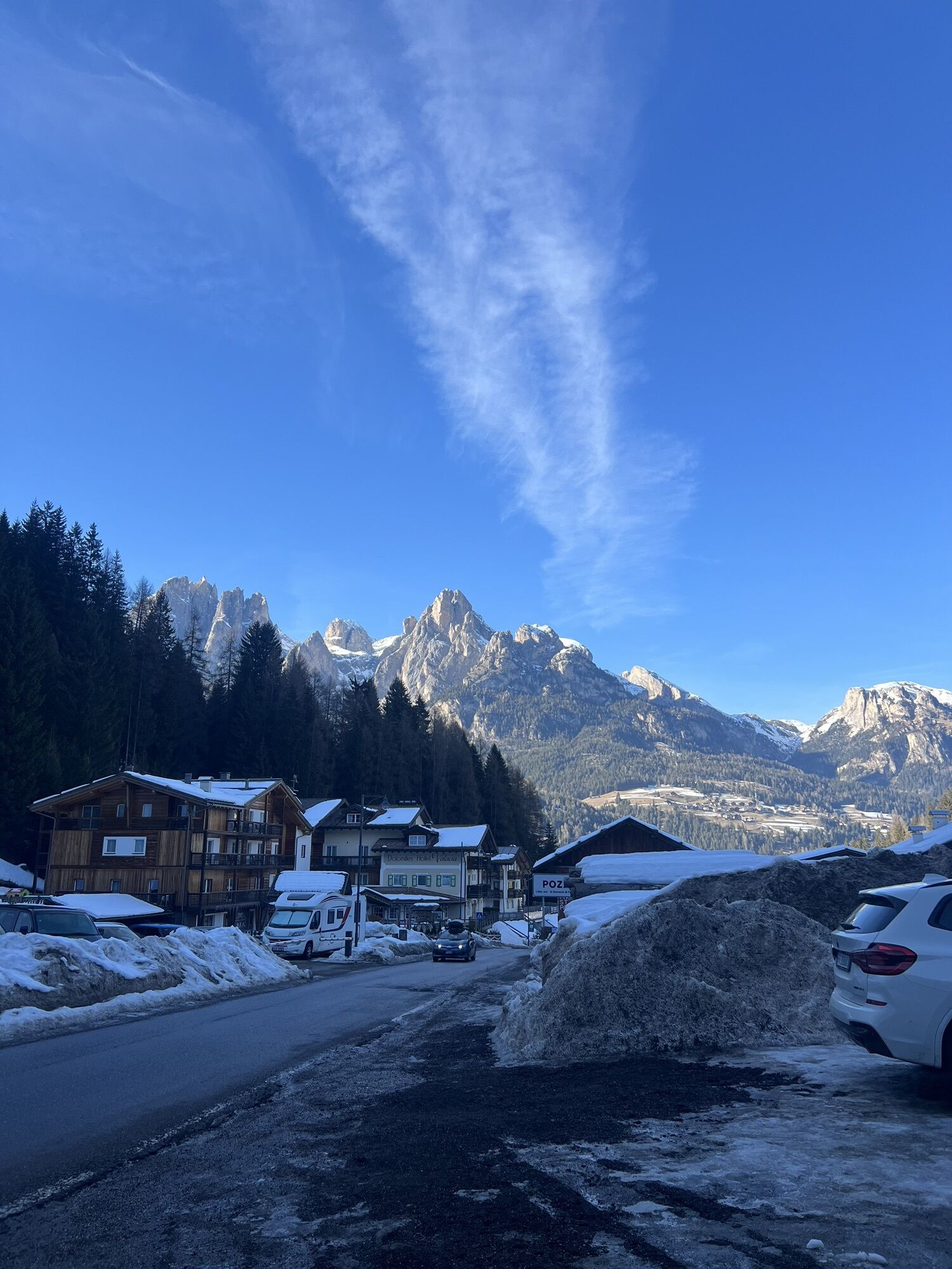
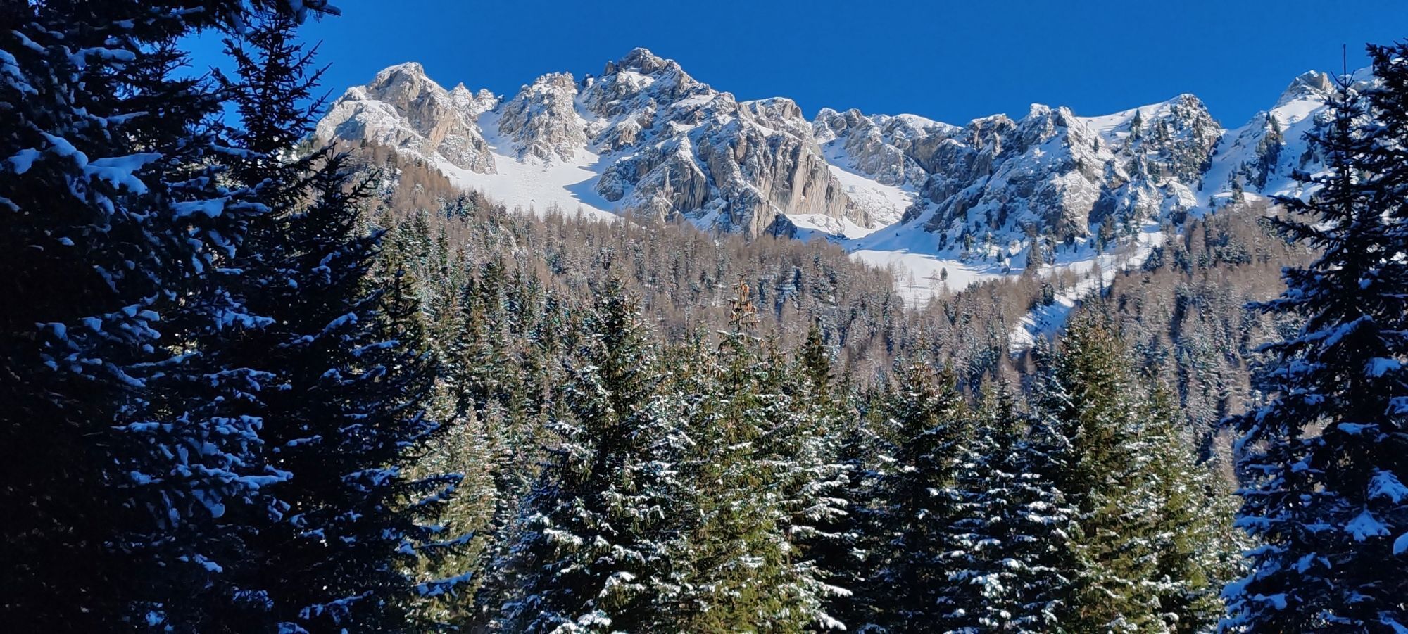

From Rifugio Baita Cuz, take the forest trail downhill leading to Val San Nicolò. From the Saùch locality, on the opposite side, begin to climb again along trail no. 640 to reach the alpine pond Lagusel...
From Rifugio Baita Cuz, take the forest trail downhill leading to Val San Nicolò. From the Saùch locality, on the opposite side, begin to climb again along trail no. 640 to reach the alpine pond Lagusel (Lauscel) and then the L Pief saddle. Then descend along trail no. 641 and then no. 641/B towards Val Monzoni, first reaching the eponymous malga. Continue downhill on trail no. 603, passing beside the small church near Malga al Crocifisso; finally, reach the Vidor locality. You can continue on foot or use the shuttle to reach the town center.
Short alternative: from Saùch in Val San Nicolò you can return to Pozza by walking along the asphalt road (about 1 hour to reach the Vidor locality) or use the shuttle bus departing every 30 minutes between 8:30 and 18:30 (paid service). Travel time 2.30 hours, from Rifugio Baita Cuz to Vidor locality.

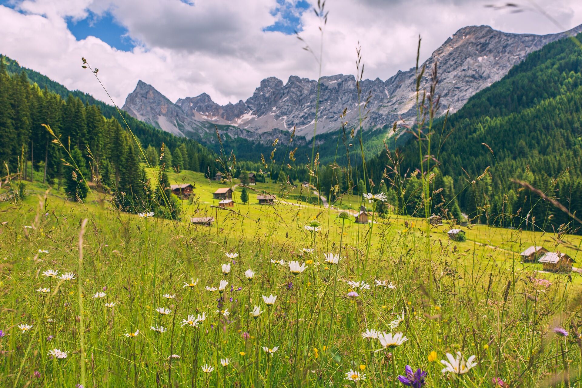
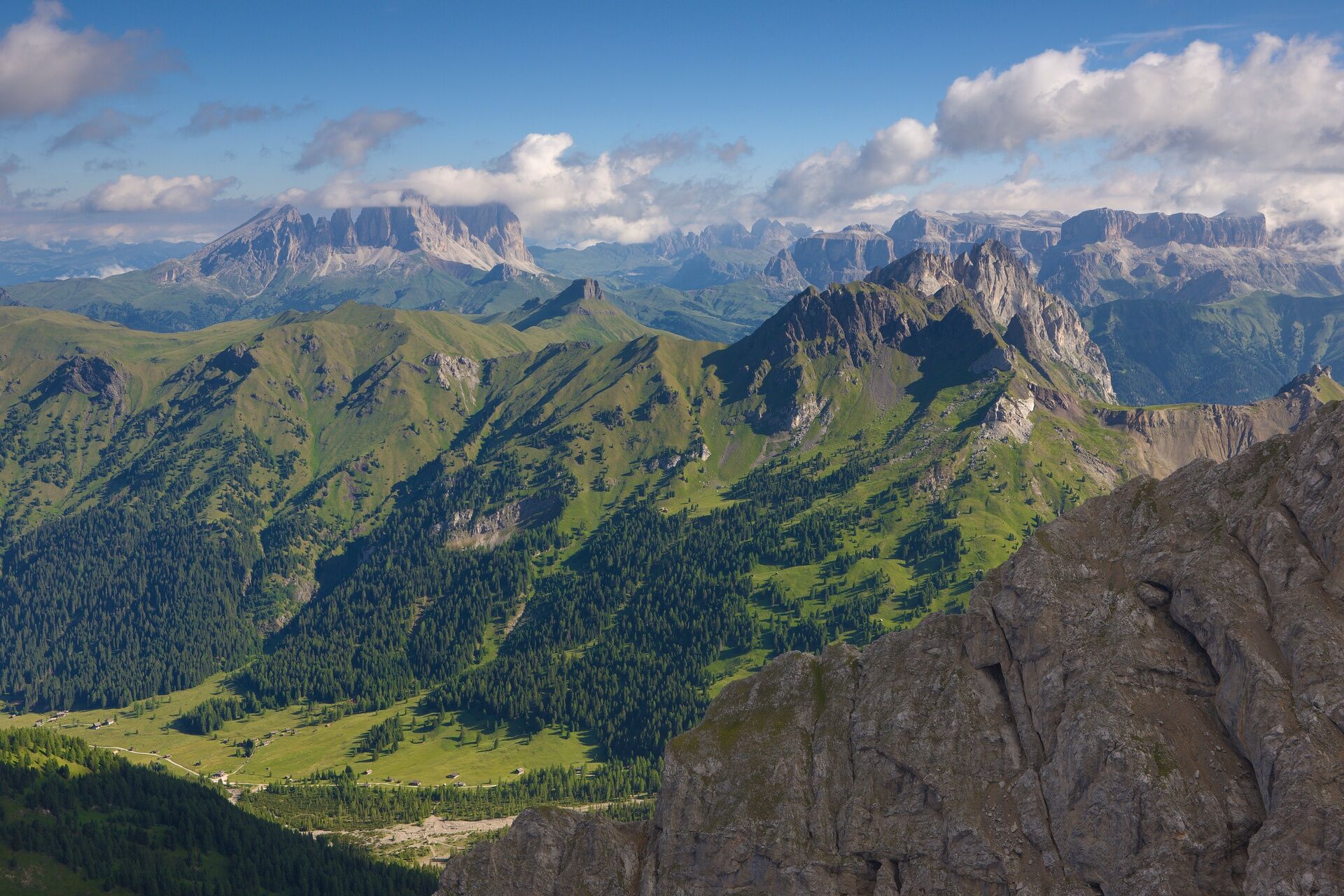
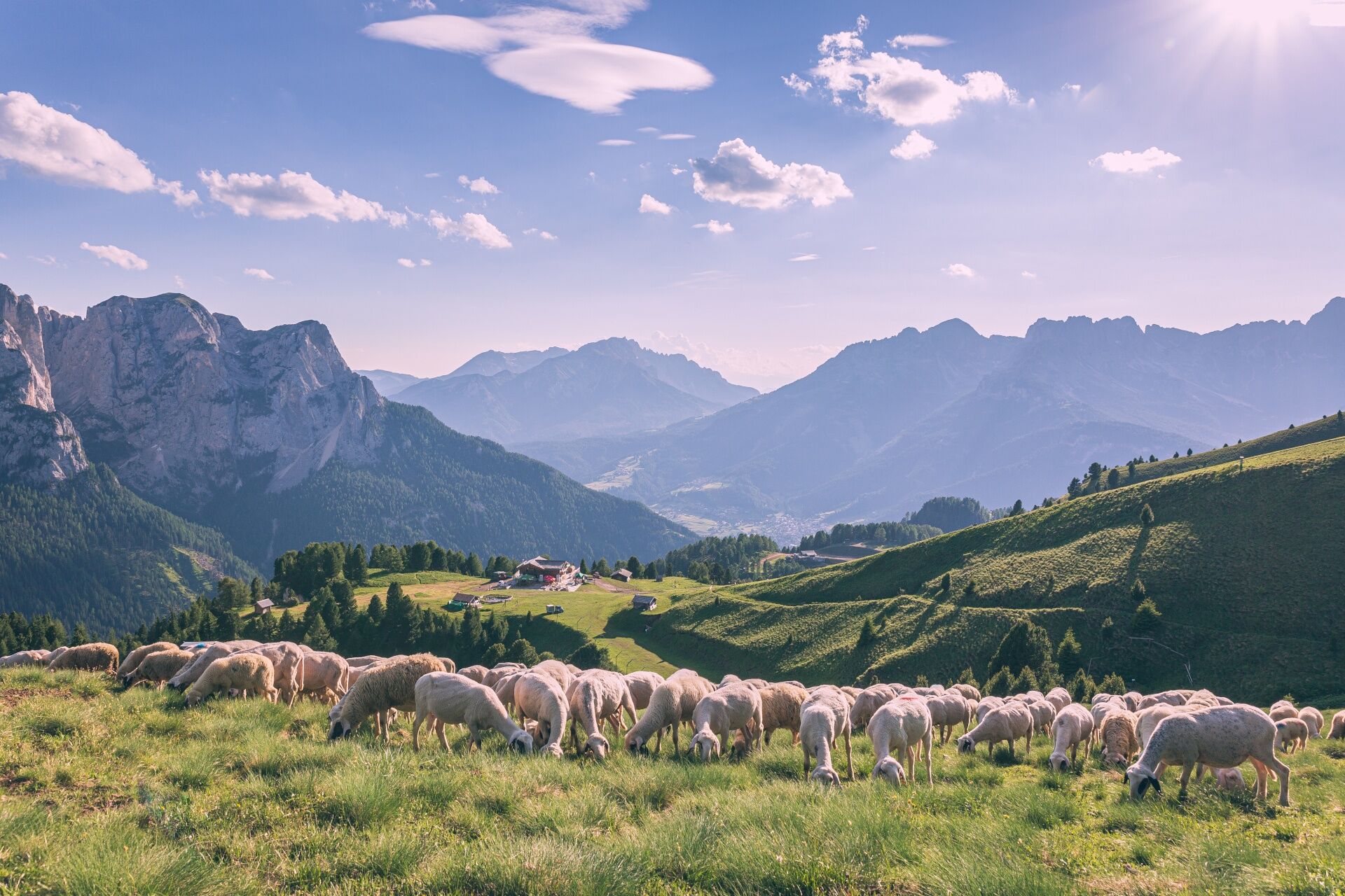
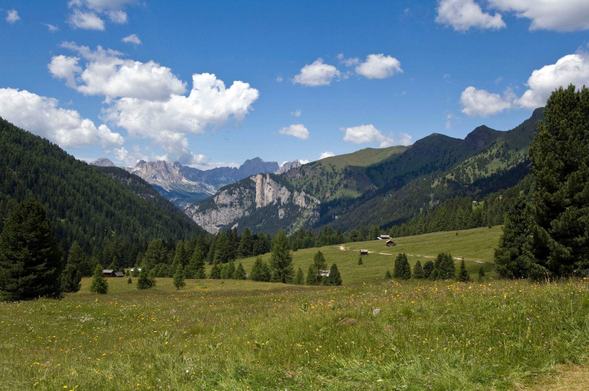
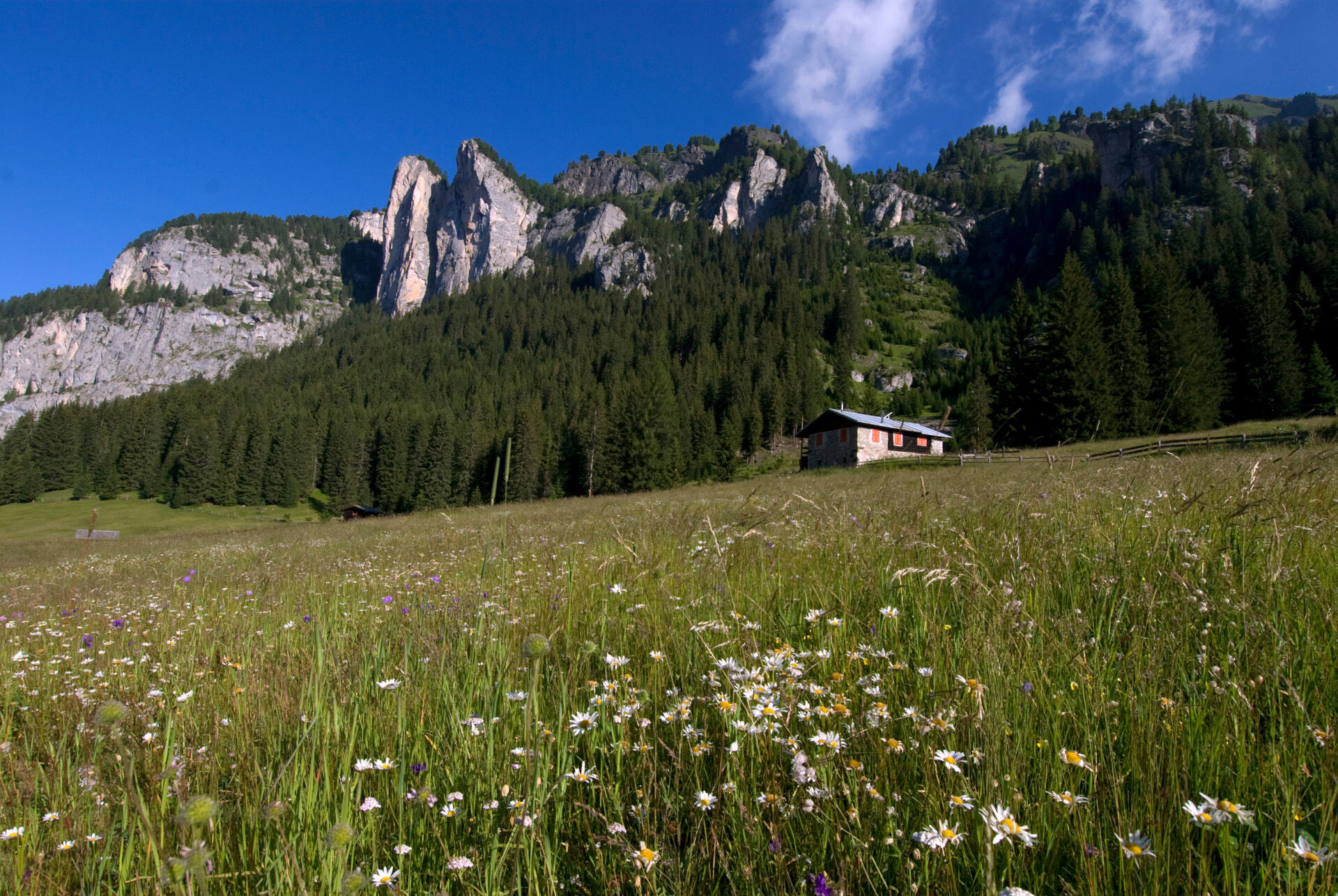
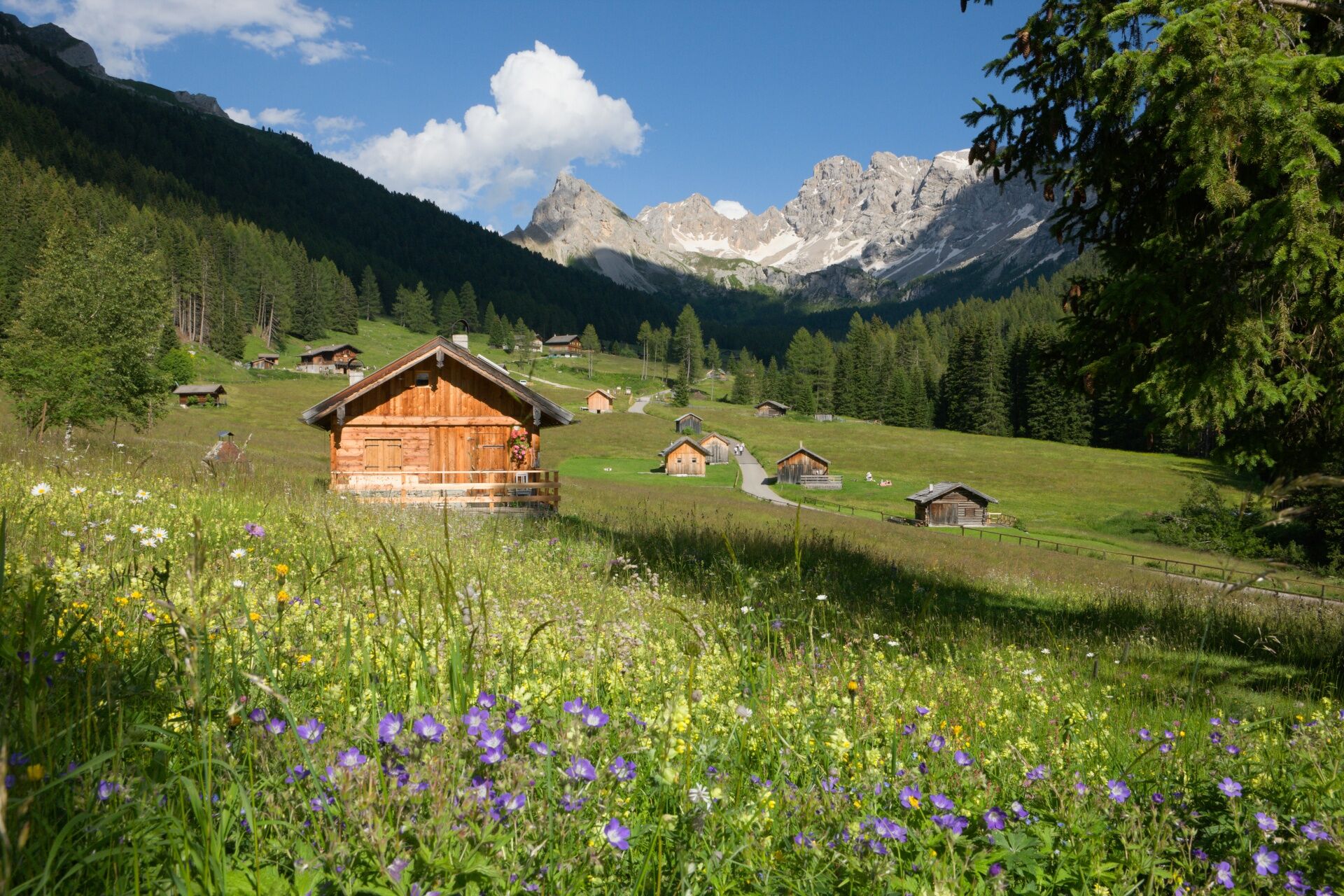
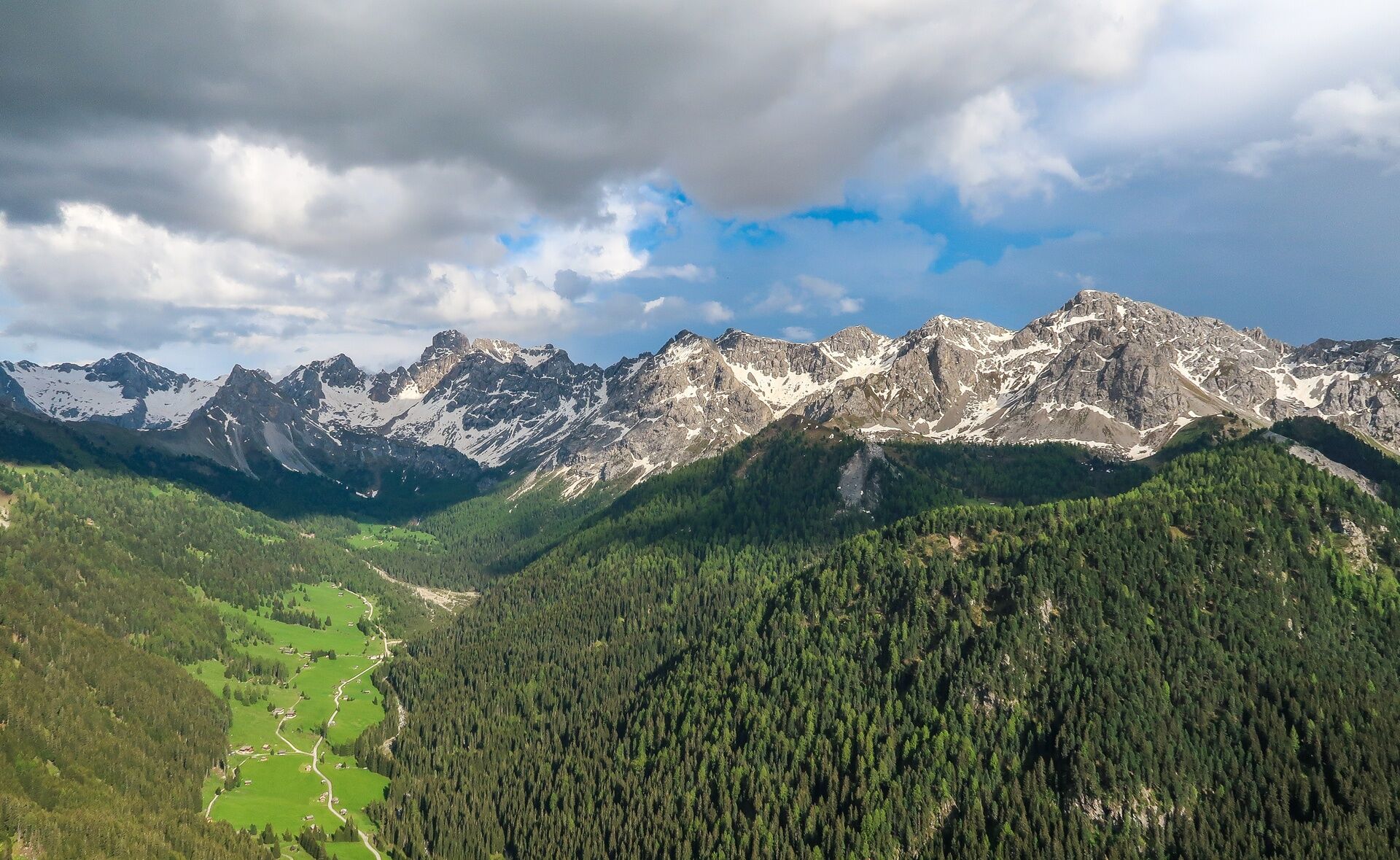
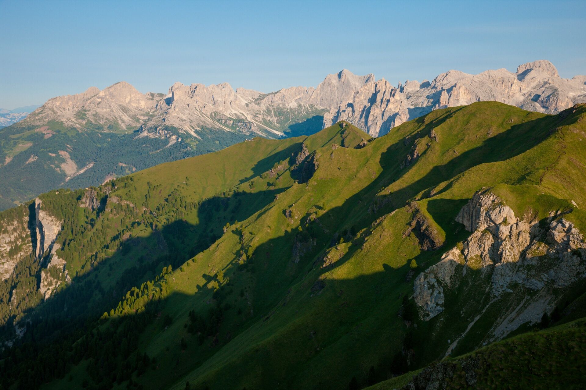
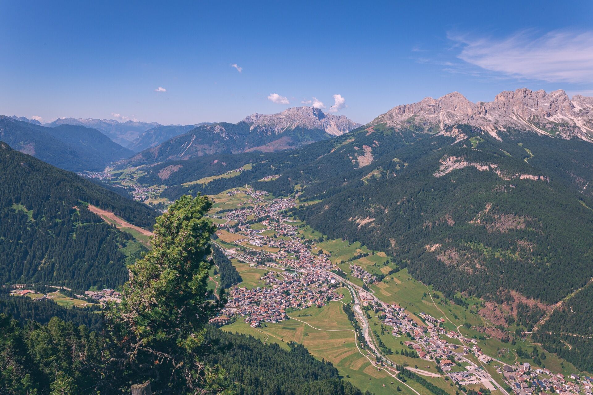
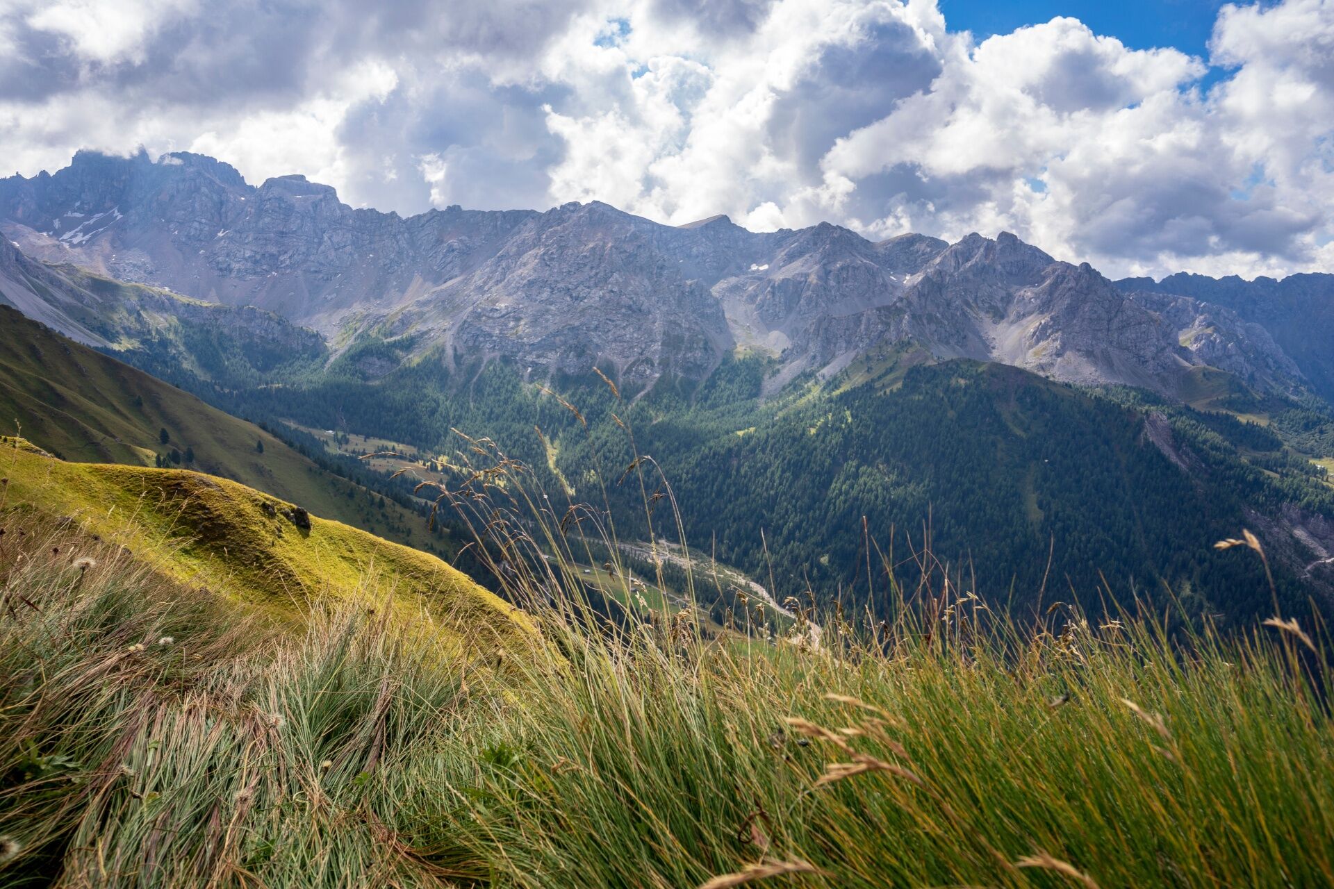
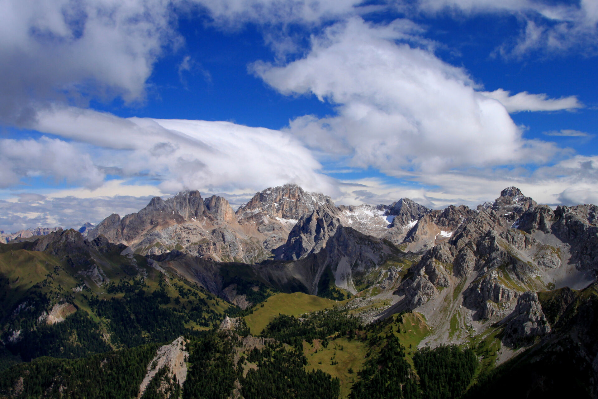
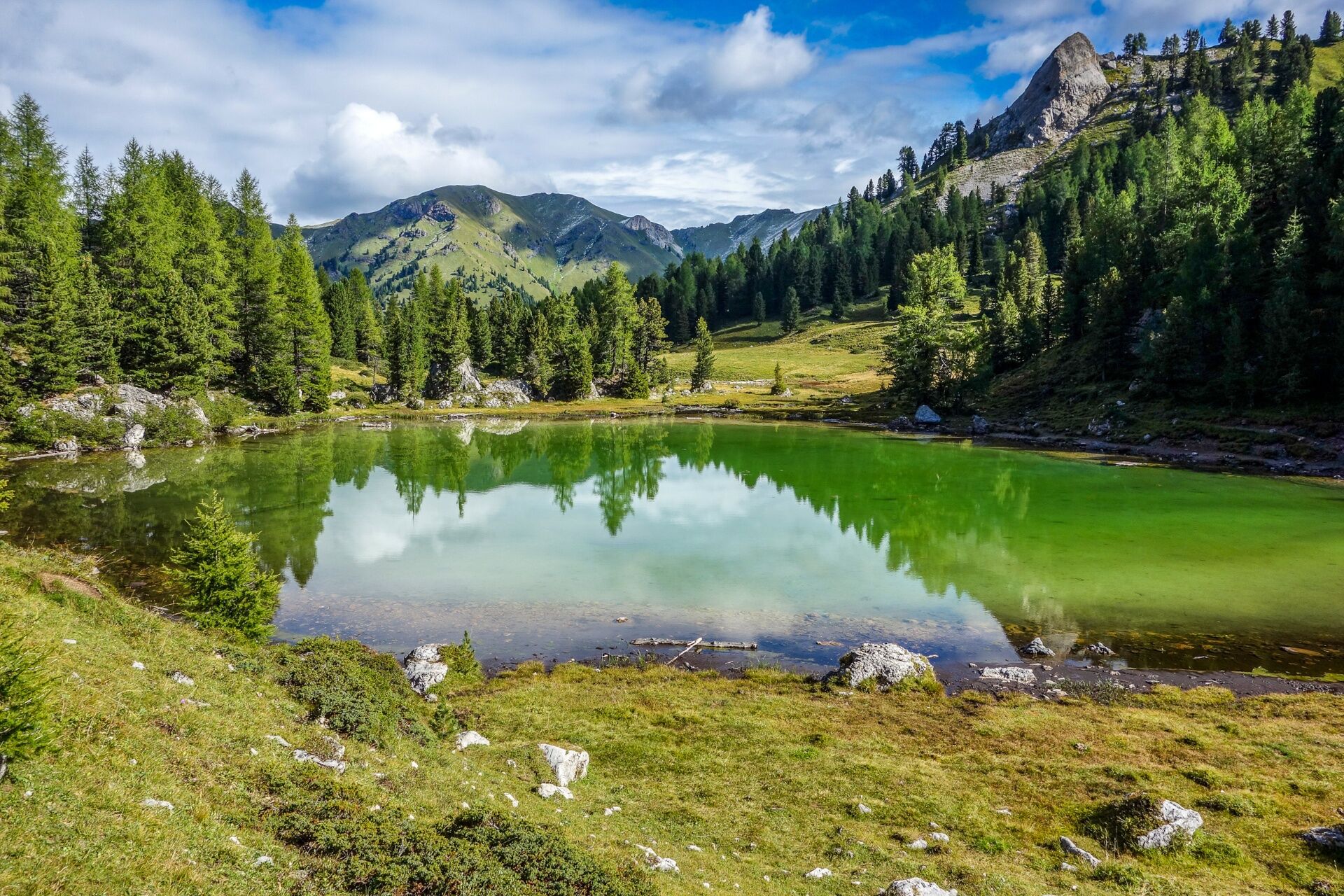
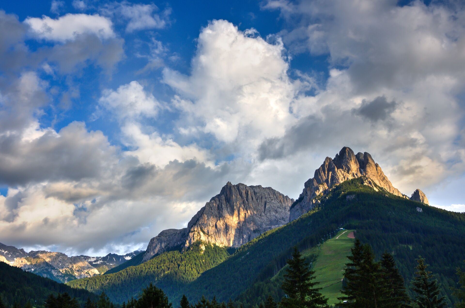

From Rifugio Baita Cuz, you take the forest trail downhill that leads to Val San Nicolò.
From Val San Nicolò/Val Monzoni/Malga al Crocifisso you return to Pozza by the asphalt road or take the shuttle bus that departs every 30 minutes between 8:30 and 18:30 (paid service).
Tak
Tak
Provide clothing and equipment suitable for the effort and duration of the excursion. Carry in your backpack the necessary items for any emergency situations, together with a minimal first aid kit.
1. Plan the route based on your abilities and the weather.
2. Take it easy, be cautious, enjoy the scenery and the silence.
3. Inform someone of your itinerary, return time, and any changes.
4. Rely on mountain professionals.
5. Help those in difficulty. Call 112 only in case of real need.
6. Make sure to have appropriate clothing and equipment + water and snacks.
7. Respect the environment around you and its inhabitants by carrying your waste down.
8. Follow marked trails avoiding those of the bike park.
9. To protect nature’s wonders, leave every element in its place.
10. Bring your animal friend with you, but only on a leash.
Main access gates to the valley coming from the A22, Modena-Brenner motorway:
exit Ora/Egna, S.S. 48 delle Dolomiti - Passo San Lugano - Val di Fiemme - Val di Fassa (distance 45 km). From the Moena ring road (industrial area) towards Canazei exit Bolzano North, S.S. 241 Grande Strada delle Dolomiti - Passo Carezza - Vigo di Fassa (distance 40 km). From Vigo north towards Canazei, south towards Soraga di Fassa and MoenaOther accesses to Val di Fassa:
from the A27 motorway (Venice), exit Belluno/Ponte nelle Alpi, S.S. 203 for Agordo and S.P. 346 of Passo San Pellegrino - Moena (Val di Fassa). From the Moena ring road towards Canazei from the A27 motorway (Venice), exit Belluno/Ponte nelle Alpi, S.S. 203 for Agordo/Alleghe/Rocca Pietore. S.P. 641 of Passo Fedaia - Canazei coming from Arabba, S.S. 48 of Passo Pordoi - Canazei from Val Gardena, S.S. 242 Passo Sella - CanazeiPublic transport lines Trentino Trasporti - Val di Fassa:
line n. 101 Canazei - Cavalese - Trento line n. 104 Cavalese - Ora - Trento line n. 123 Moena - Passo San Pellegrino - FalcadePublic transport lines SAD - Val di Fassa:
line n. 180 Vigo di Fassa - Passo Carezza - BolzanoParking at the departure station of the Buffaure cable car.
Book the 3-night holiday package! Includes:
4 independent and self-guided trekking routes of medium difficulty 3 overnight stays in refuge, in shared room, with half board 1 cotton sleeping bag liner 1 day pass for the Canazei-Belvedere-Sass Pordoi ski lifts map of Val di Fassa trailsTourism Board of Val di Fassa
Strèda Roma, 36
38032 Canazei (TN)
Tel. 0462 609500
info@fassa.com
www.fassa.com
Organized 4-day high-altitude trekking, from refuge to refuge, to discover on foot the most beautiful peaks of the Fassa Dolomites.
The itinerary takes place in 4 stages along well-marked CAI-SAT trails. From any point, you can descend to the valley and, thanks to shuttle services, ski lifts, or local public transport, easily return to the starting location.
Kamery internetowe z trasy
-
Ciampedie - Rosengarten
-
Ciampedie - Rosengarten
-
Ciampedie - Rosengarten
-
Ciampedie - Rosengarten
-
Catinaccio - Rosengarten Pra Martin
-
Ciampedie - Rosengarten
-
Ciampedie - Rosengarten
-
Ciampedie - Rosengarten
-
Ciampedie - Rosengarten
-
Catinaccio - Rosengarten Pra Martin
-
Catinaccio - Rosengarten Pra Martin
-
Pozza di Fassa - Buffaure
-
Canazei - Ciampac
-
Canazei - Ciampac
-
Canazei - Ciampac
-
Canazei - Ciampac
-
Pozza di Fassa
-
Cima Uomo
Uzyskaj wgląd
Zawsze na żywo z ponad 9 500 kamer internetowych. bergfex Jako użytkownik Pro, możesz teraz zobaczyć odpowiednie kamery internetowe dla wielu wycieczek w aplikacji wycieczki od. Pozwala to na bezpośredni podgląd aktualnych warunków.
Popularne wycieczki w okolicy
-
4,6
Pordoi Pass - Sass Pordoi - Forcella Pordoi - Piz Boè - Boè Refuge - Forcella Pordoi - Pordoi Pass
ciężkiWędrówka 8,39 km -
5,0
Um den Langkofel
średniWędrówka 9,76 km -
4,9
Lang- und Plattkofel Umrundung
średniWędrówka 17,5 km -
4,8
Santnerpass Klettersteig
średniVia ferrata 8,29 km -
4,8
Langkofel-Umrundung
średniWędrówka 12,9 km -
4,0
Der Friedrich-August-Weg
średniWędrówka 10,4 km -
5,0
Langkofel Klettersteig/Ferrata Furcela de Saslonch
ciężkiVia ferrata 7,07 km -
4,4
Dolomiten Sellagruppe, Alb. Col di Lana, Sas de Pordoi, Piz Boé retour 22.06.2016
średniWędrówka 5 km -
5,0
Ciampedie - Gardeccia - Refuges Vajolet and Preuss - Refuge Re Alberto I - Gardeccia - Ciampedie
ciężkiWędrówka 11,8 km -
4,2
Rundwanderung Compatsch-Schlernhaus-Tierser Alpl
średniWędrówka 21,2 km
Wędrówki i tropienie


Nie przegap ofert i inspiracji na następne wakacje
Twój adres e-mail została dodana do listy mailingowej.





