






“La strada delle streghe” path
Poziom trudności: T2
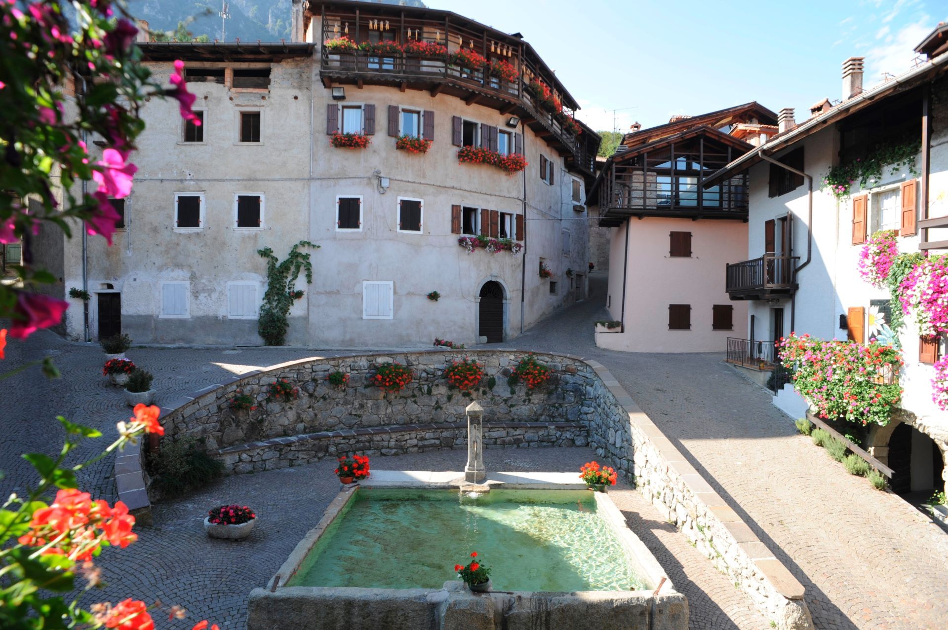
The route starts from the car park in Rango, one of Italy’s Most Beautiful Villages, where stone houses, porticoes and covered passageways still tell the story of the traditional rural architecture of...
The trail then descends towards Le Cross before entering the woods again and returning comfortably to Rango along a farm track. Along the way, you pass dry-stone walls, glimpses of the valley and walnut trees, once widespread and important for the local economy, and today a symbol of one of the area’s typical products.
A short and pleasant walk, also suitable for little hikers curious to discover the stories, nature and traditions of Bleggio.

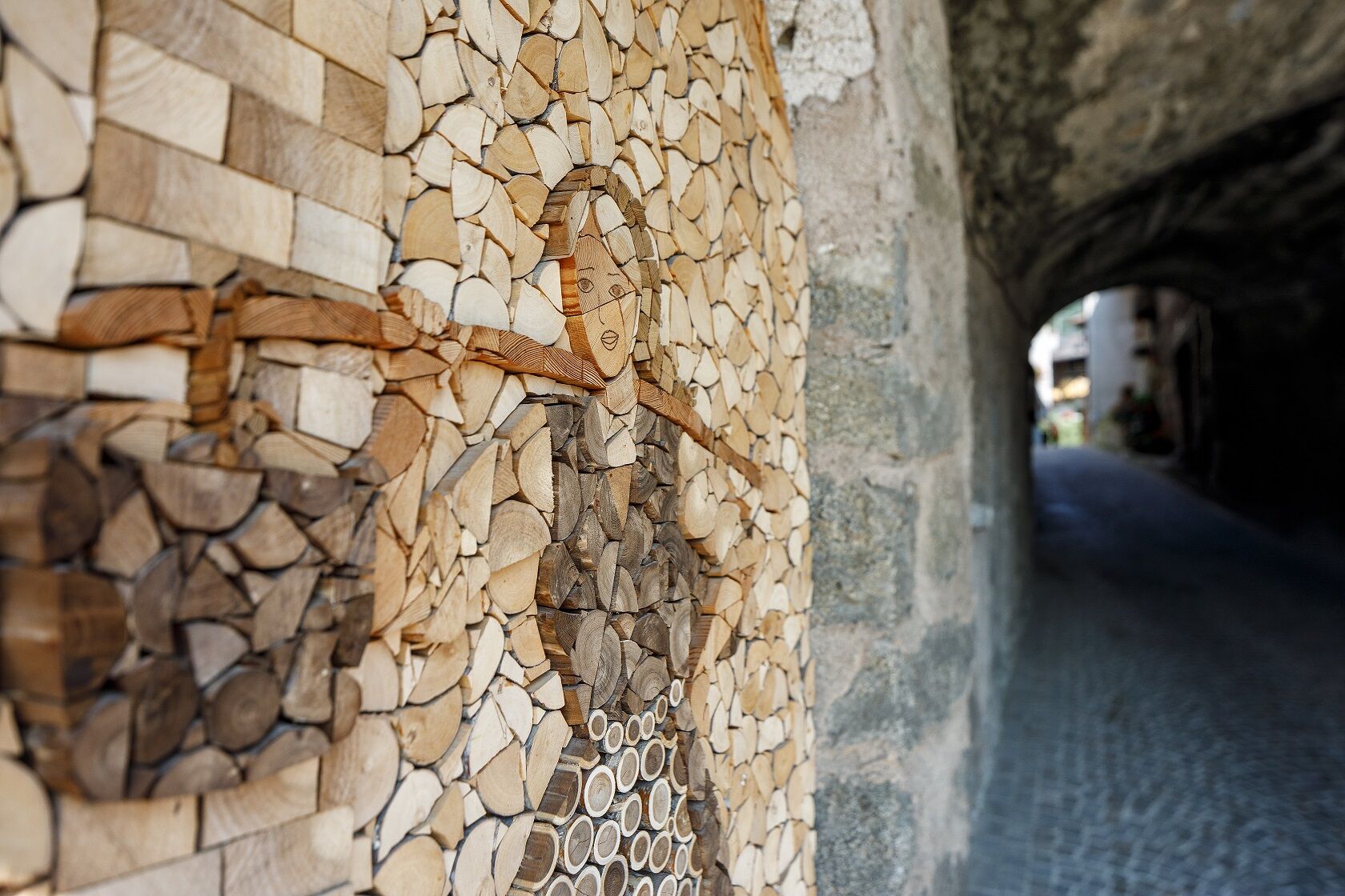


After the climb, the route descends towards Le Cross, where the iron crosses were erected in 1656, according to local folk tradition.
From here, the route goes back into the woods and continues along a comfortable farm track, passing dry-stone walls, walnut trees and glimpses of the rural landscape of Bleggio.
Following the loop, you finally return to Rango, where it is worth taking some time to visit the village, with its porticoes, stone houses and most characteristic corners.
Tak
This excursion is quite simple and presents no particular difficulty. However, we still recommend you to wear suitable footwear, a hat, sun screen and sunglasses. And be sure to bring water!
The information on this chart is subject to inevitable variations, so this means that none of the indications are absolute. It is not entirely possible to avoid giving inexact or imprecise information, given how quickly environmental and weather conditions can change. For this reason we decline any responsibility for changes which the user may encounter. In any case, the hiker is advised to check the conditions of the places, environment and weather before setting out.
Find out how to reach Garda Trentino.
Free parking i
T2
Along the Paths for Little Walkers, walking is like entering fairy tales.
Popularne wycieczki w okolicy
-
5,0
Bastione and Santa Barbara, the lords of Riva del Garda
średniWędrówka 2,94 km -
5,0
Via Ferrata Signora delle Acque - Rio Ruzza
ciężkiVia ferrata 5,32 km -
4,8
Via Ferrata Rio Sallagoni
średniVia ferrata 2,75 km -
4,9
Via Ferrata dell’Amicizia - Cima SAT
średniVia ferrata 4,41 km -
4,6
Colodri Klettersteig (A/B)
Via ferrata 7,50 km -
4,4
Ferrata via dell'amicizia
średniVia ferrata 11,5 km -
4,7
Malga Grassi Trail-Tour
średniMountainbike 24,2 km -
4,5
Ferrata via dell amicizia
średniVia ferrata 11,8 km -
4,5
Lakes Cycle Path: Torbole – Sarche
średniJazda na rowerze 24,8 km -
5,0
In the heart of Garda Trentino: the "Giro della Busa" loop
światłoJazda na rowerze 19,6 km
Wędrówki i tropienie


Nie przegap ofert i inspiracji na następne wakacje
Twój adres e-mail została dodana do listy mailingowej.





