






Valsorda Tour
Poziom trudności: T3
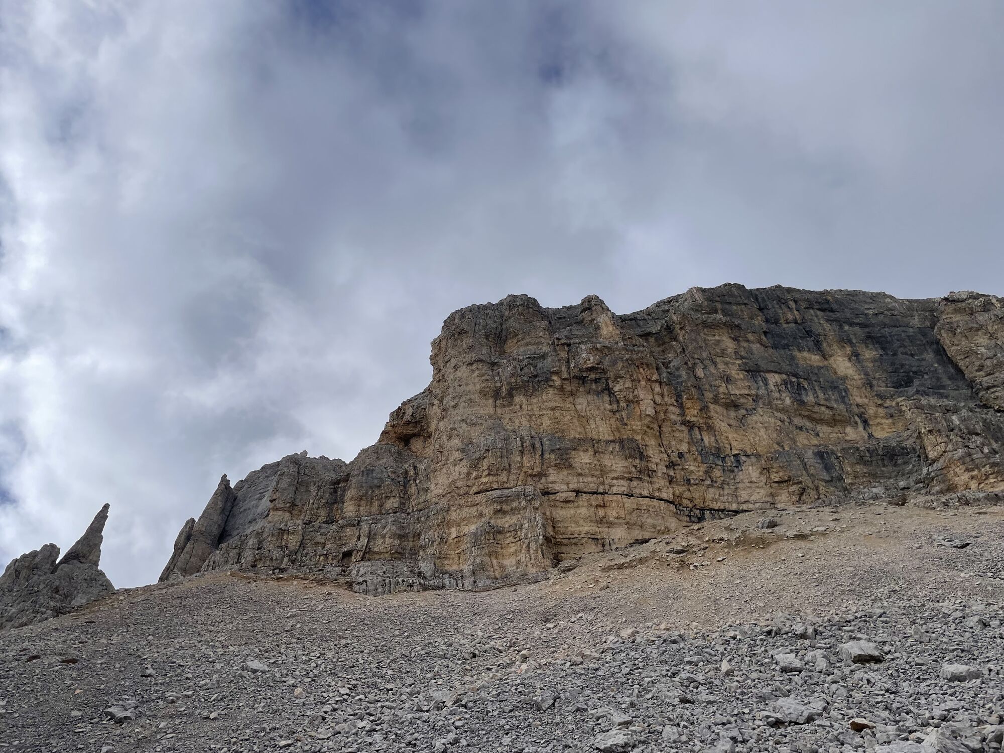
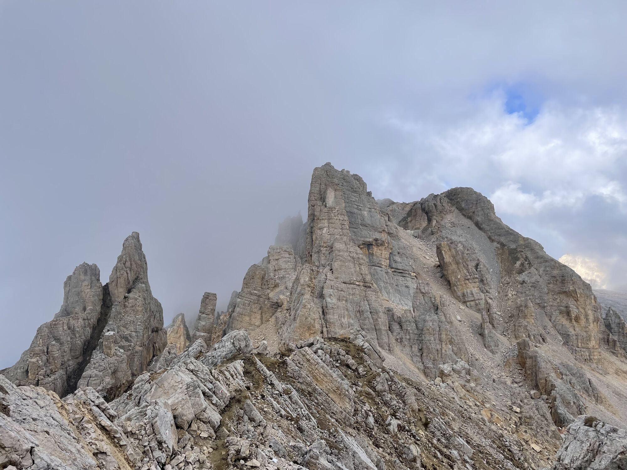

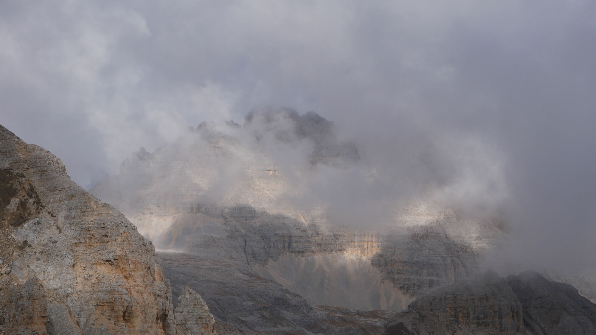
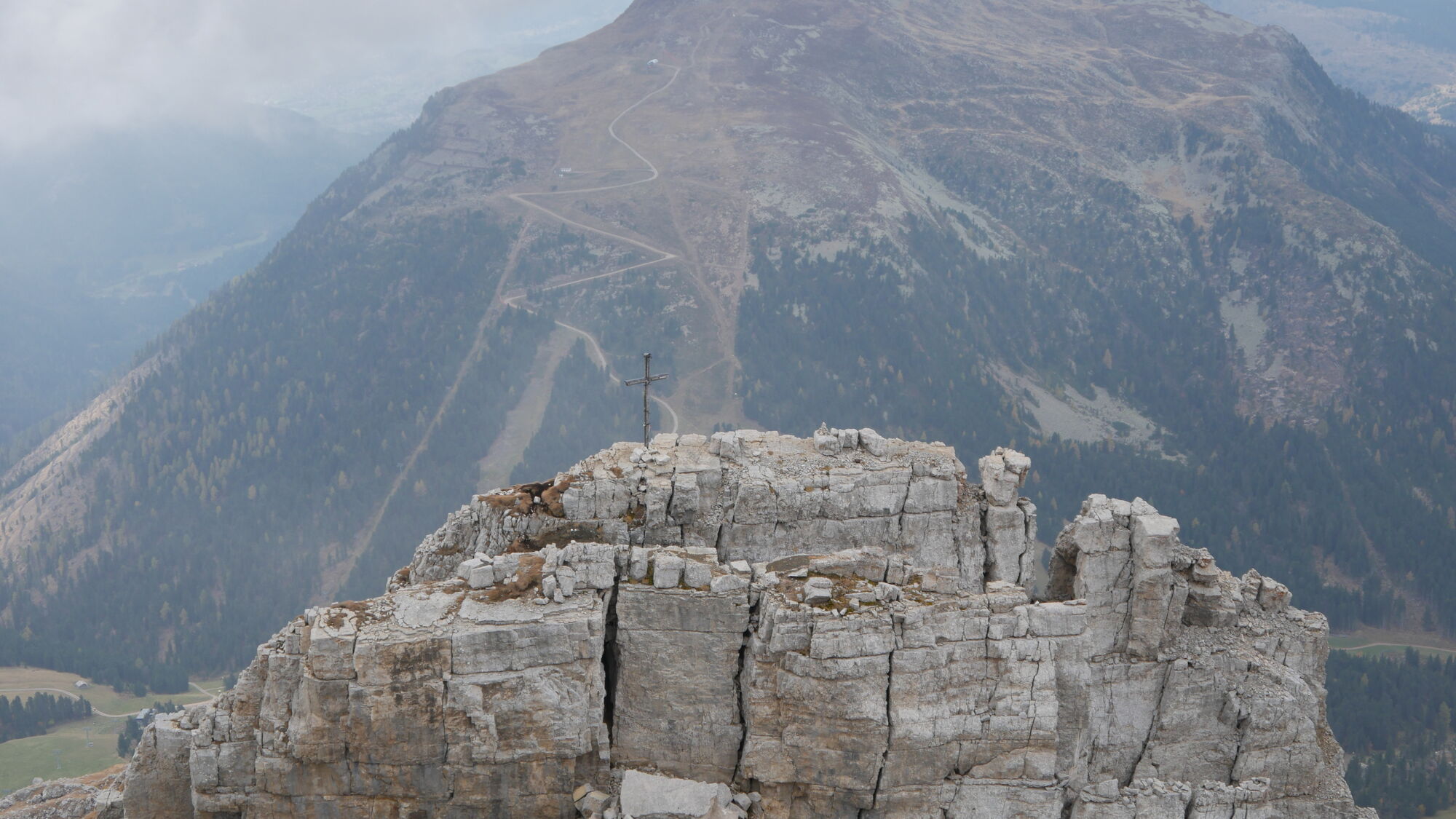
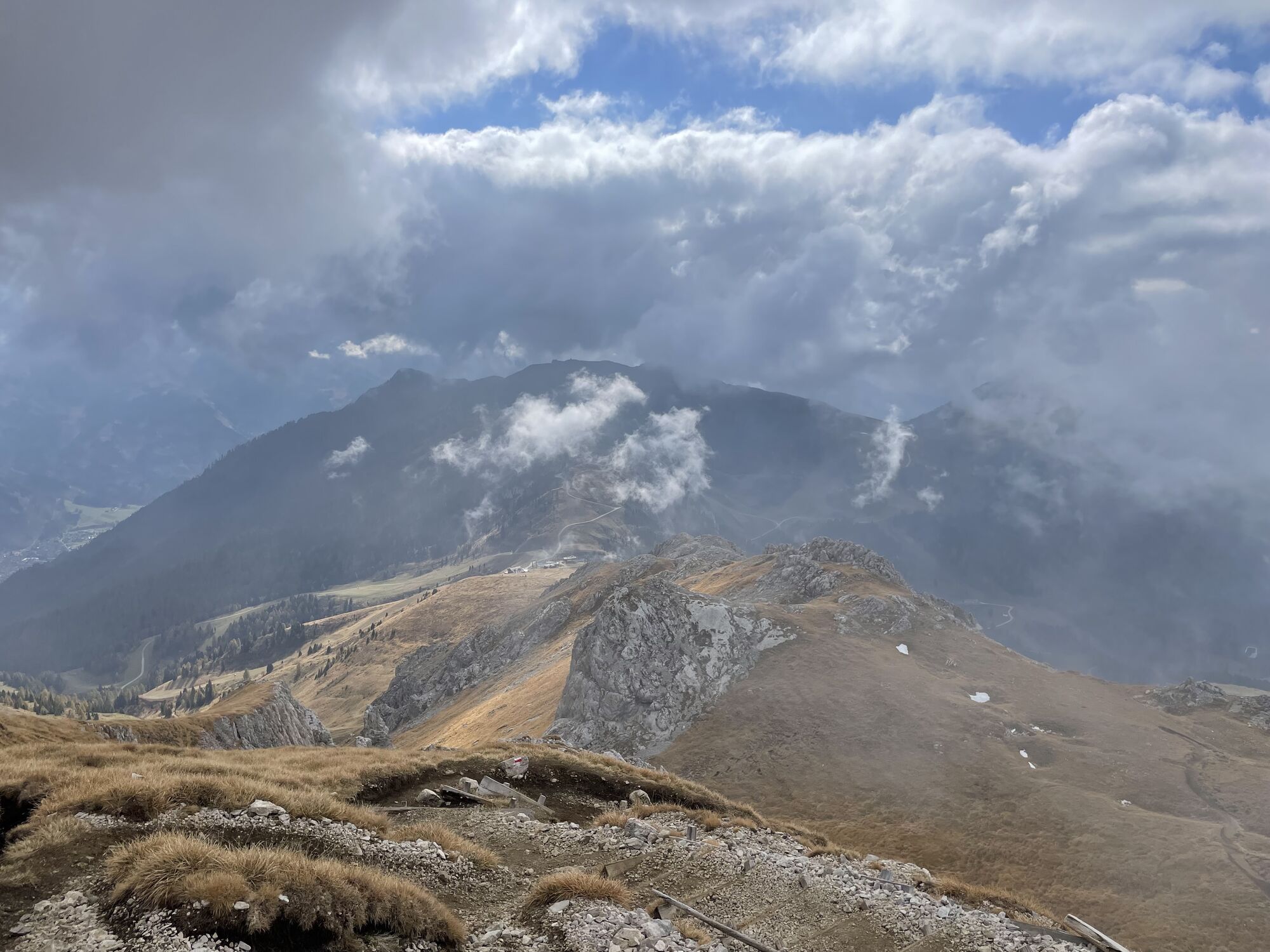
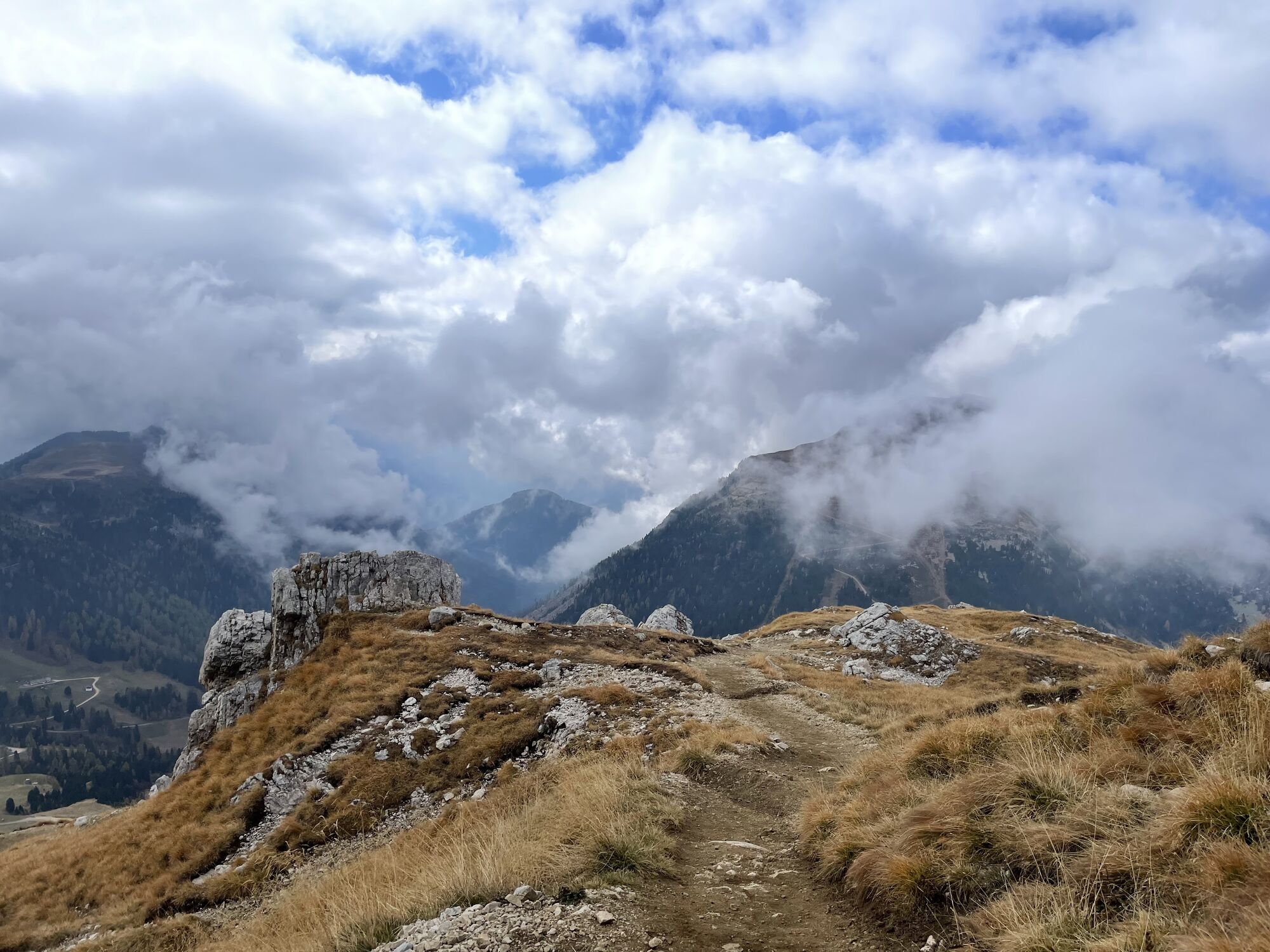
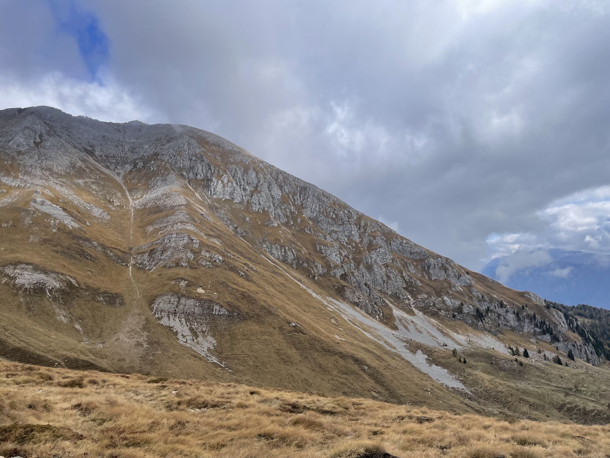
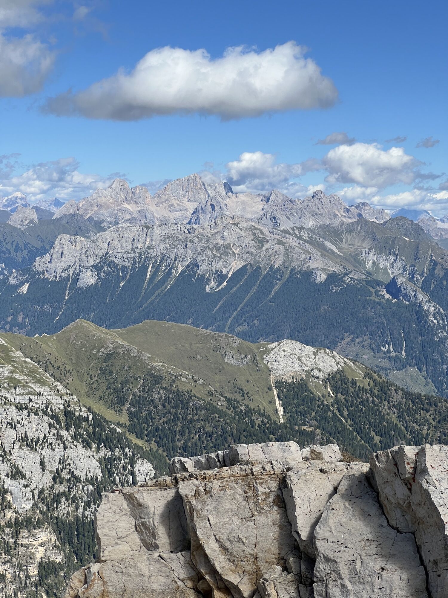
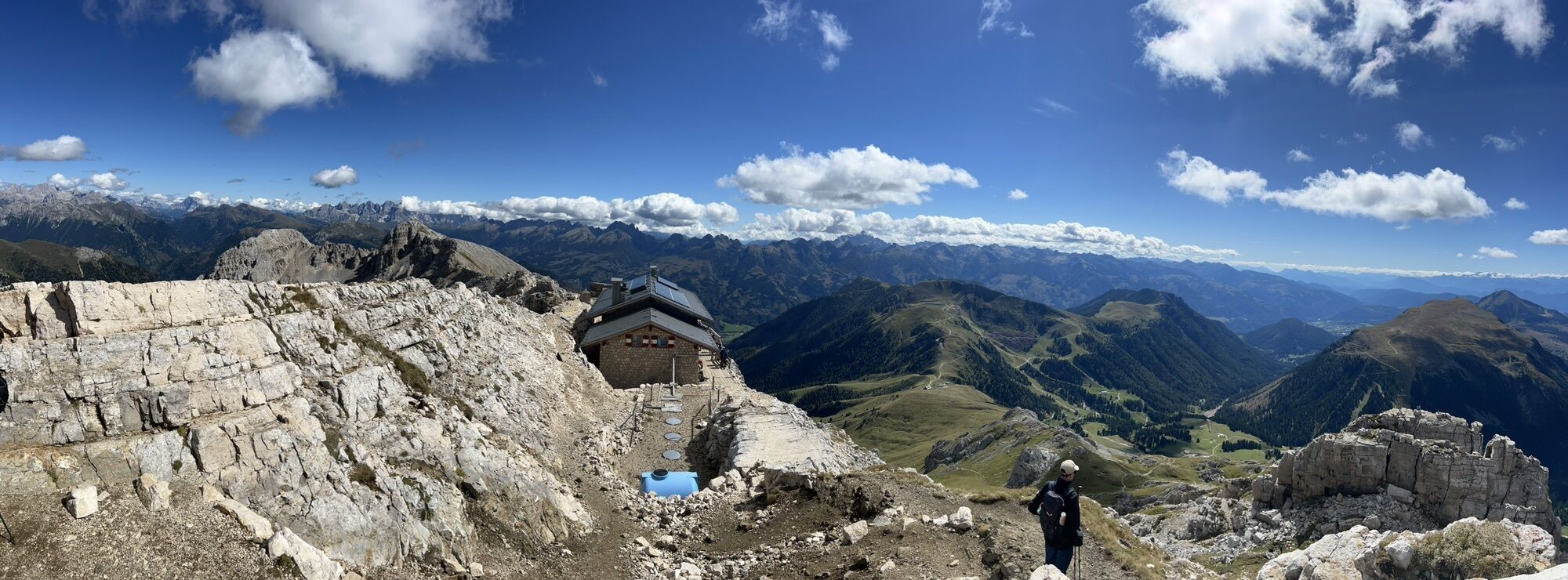
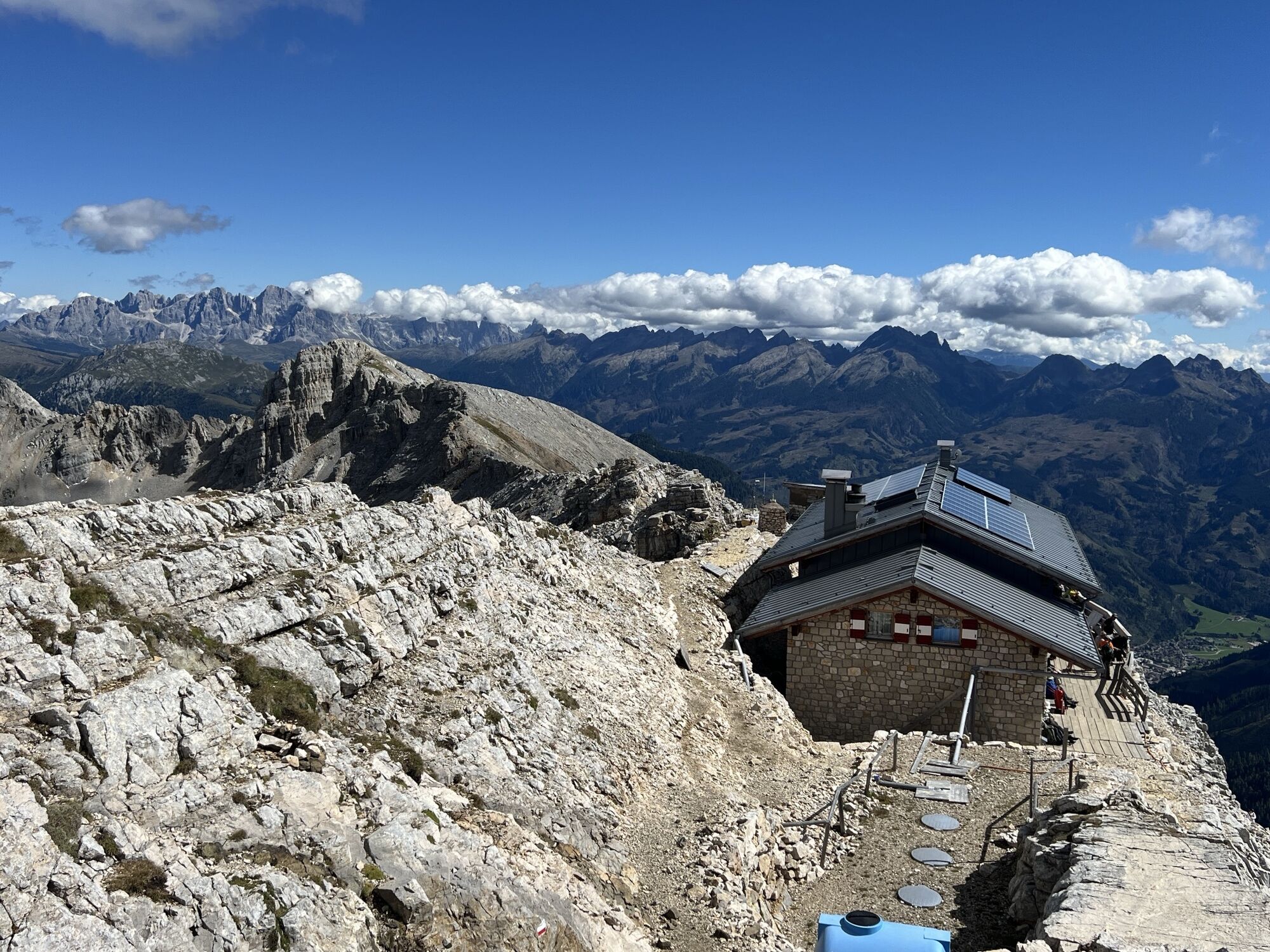


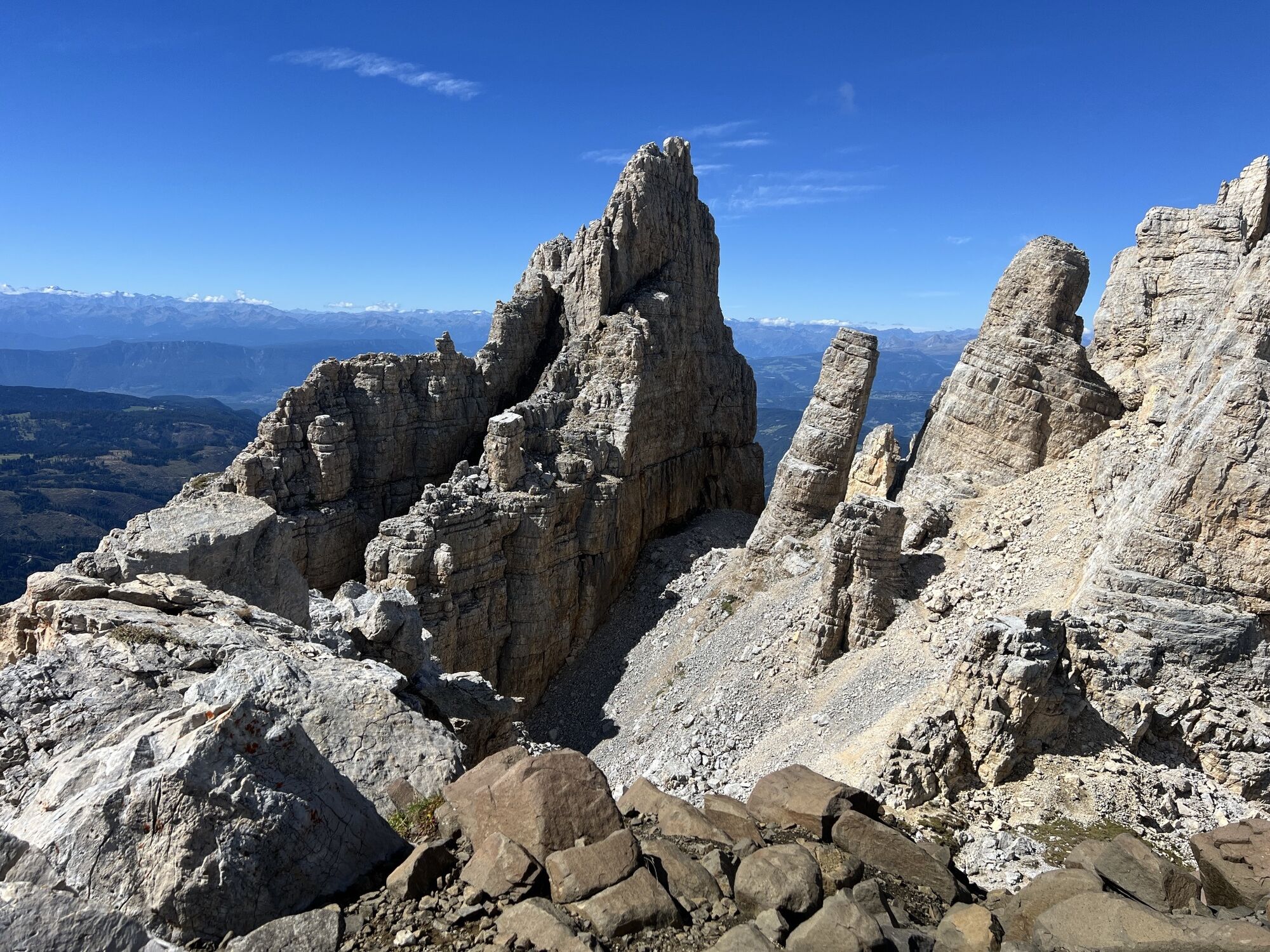
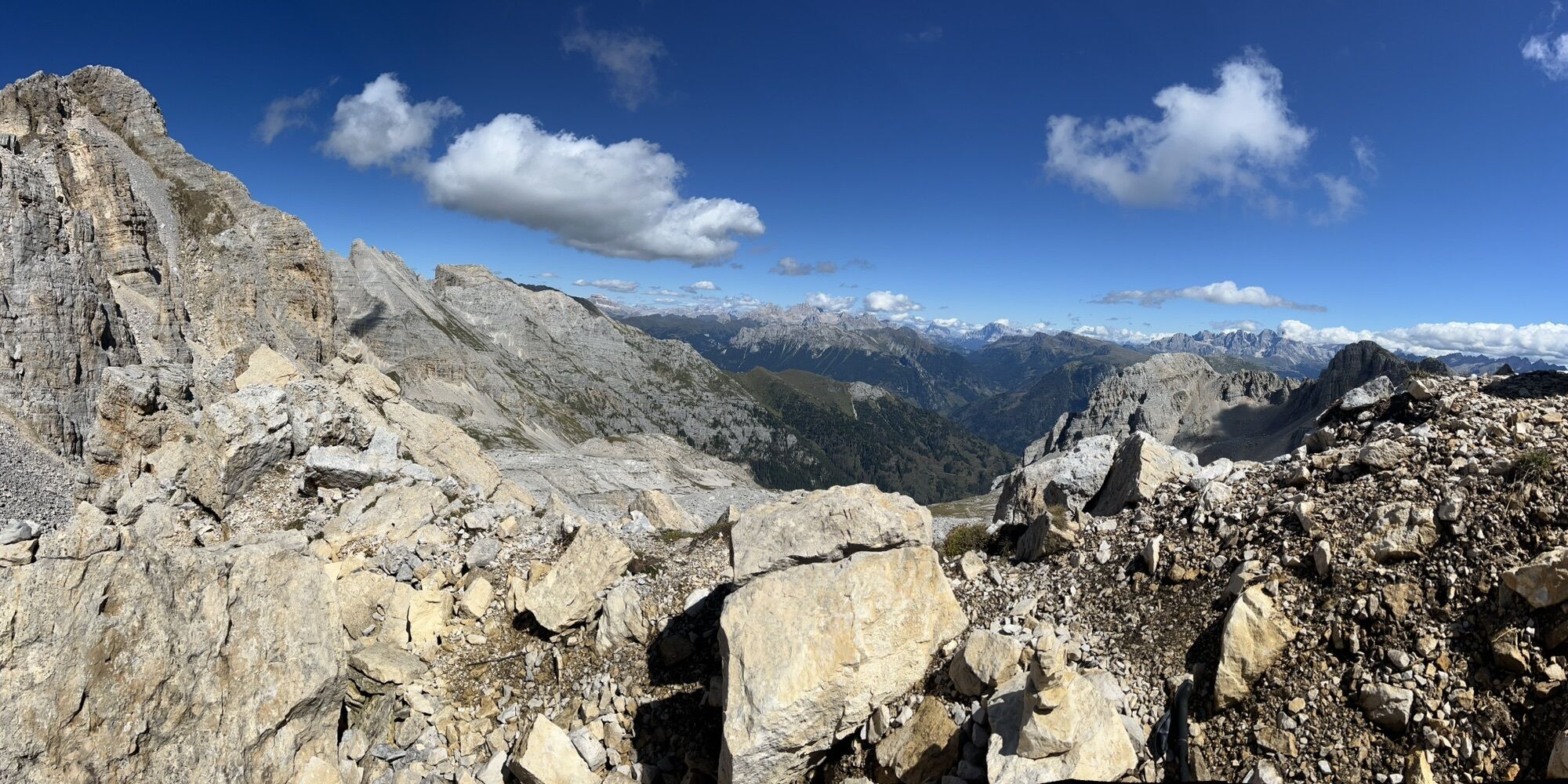
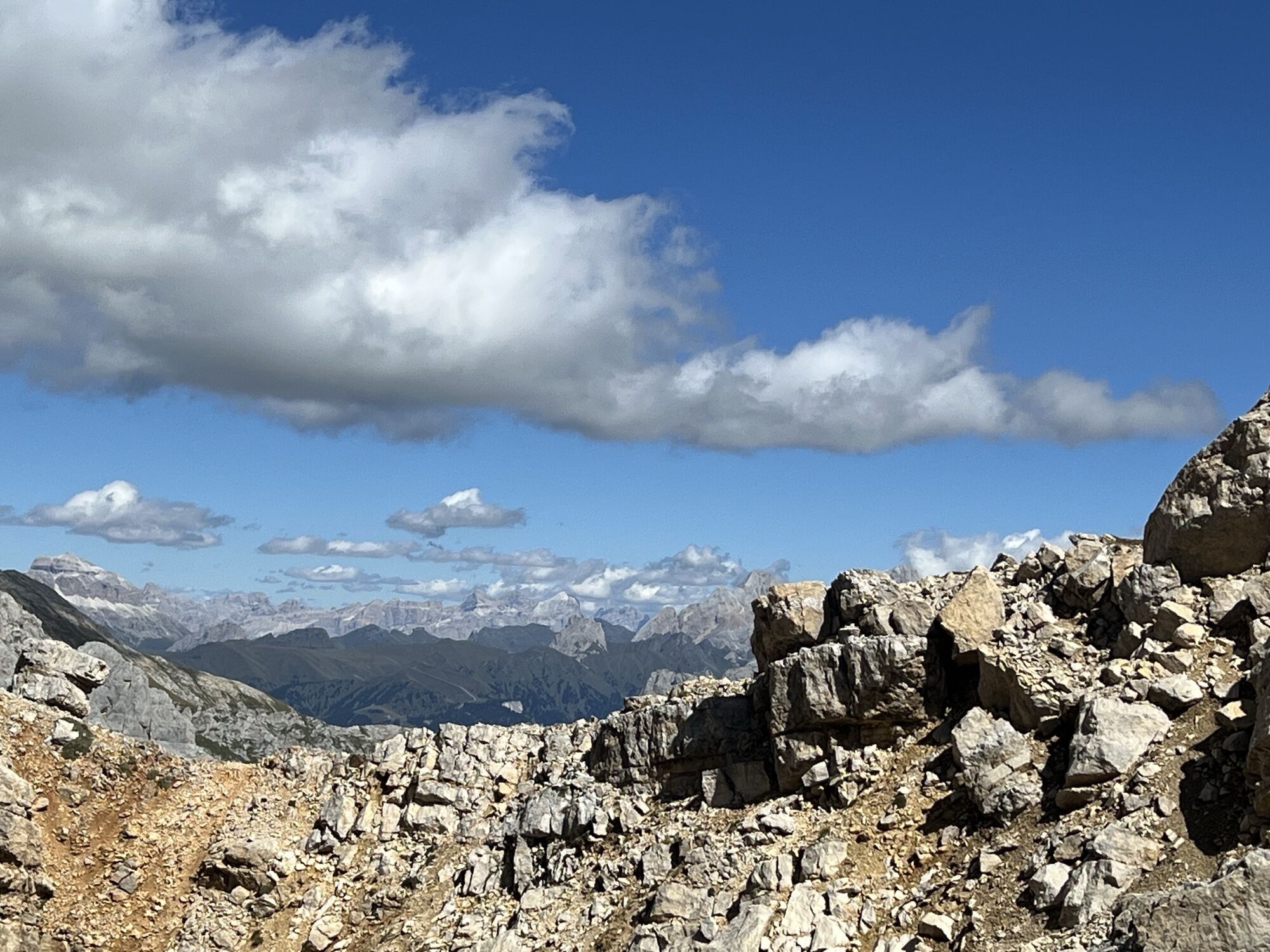
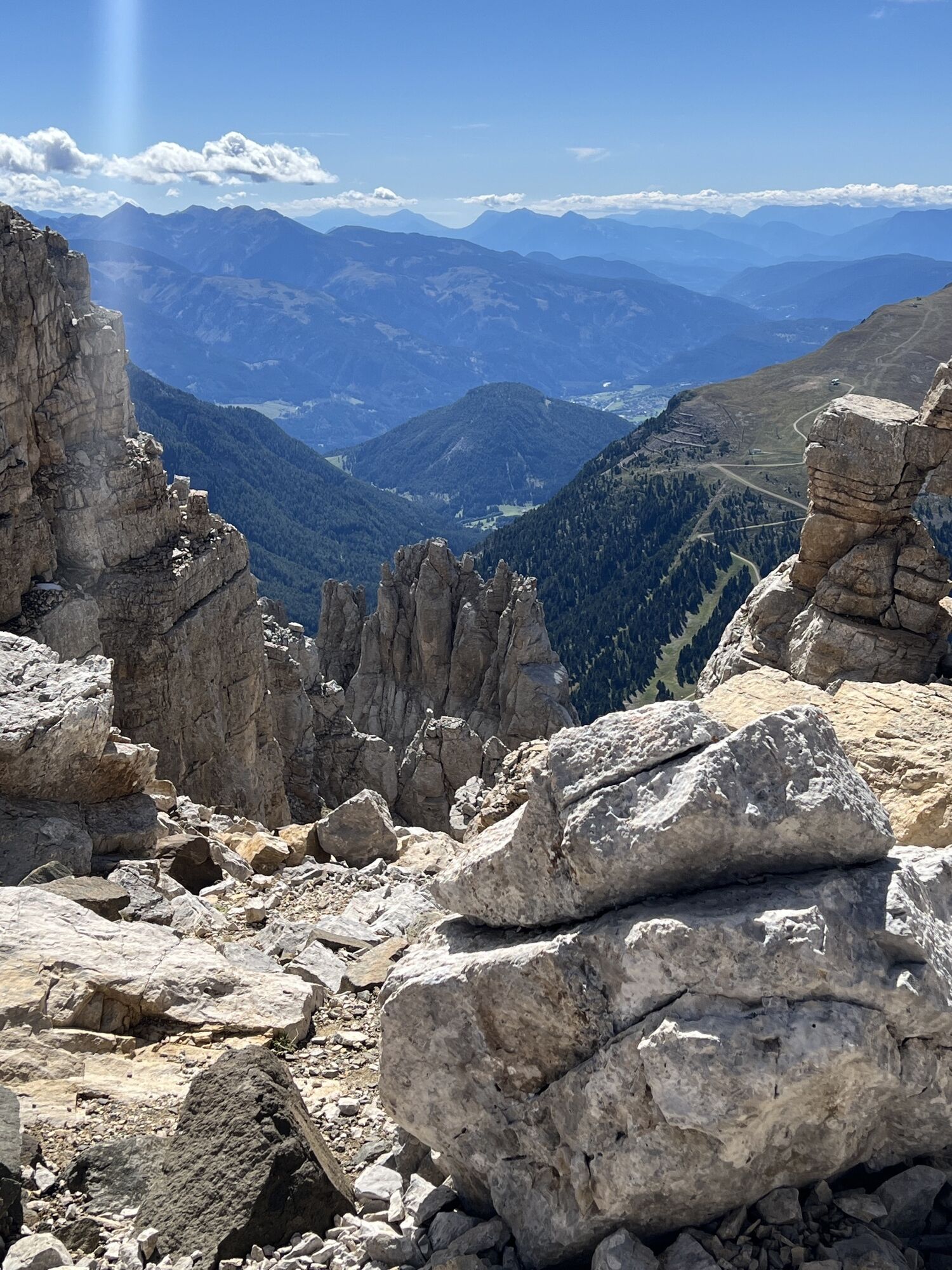
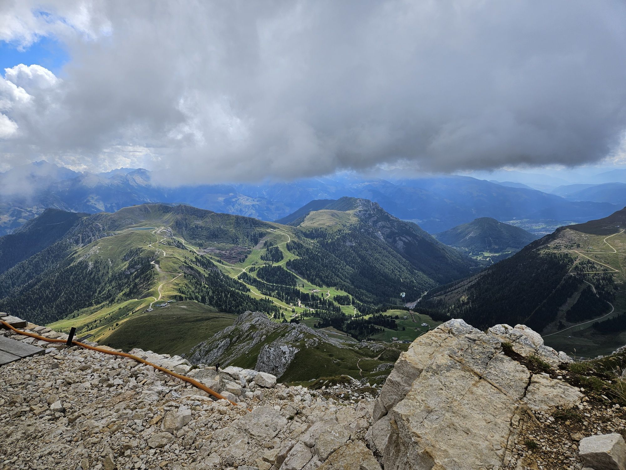
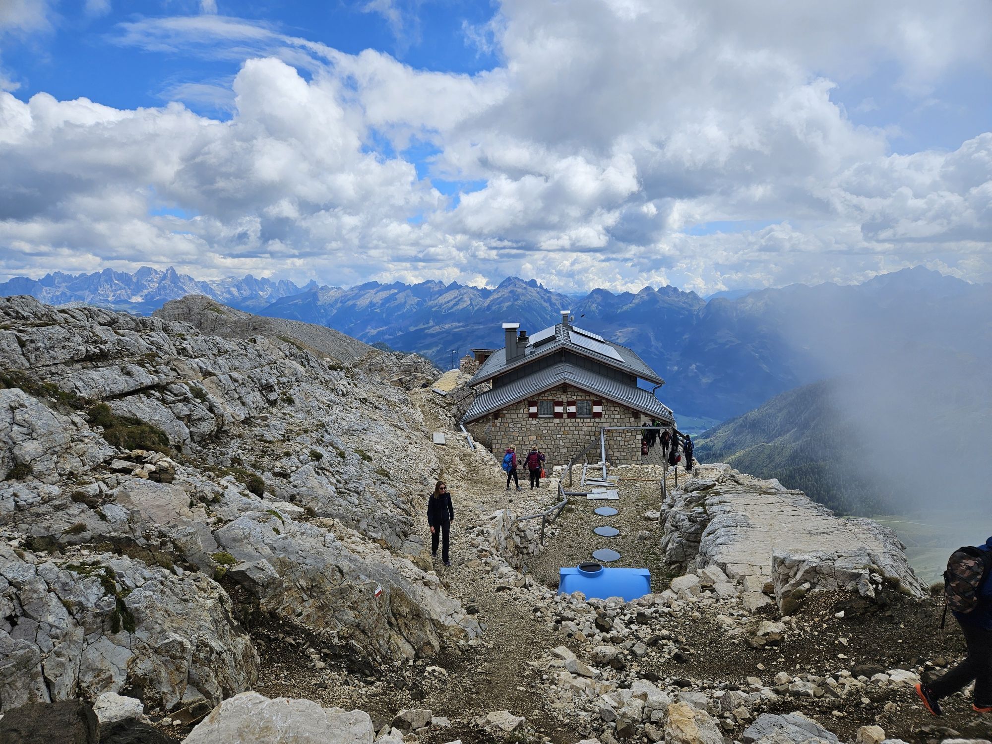
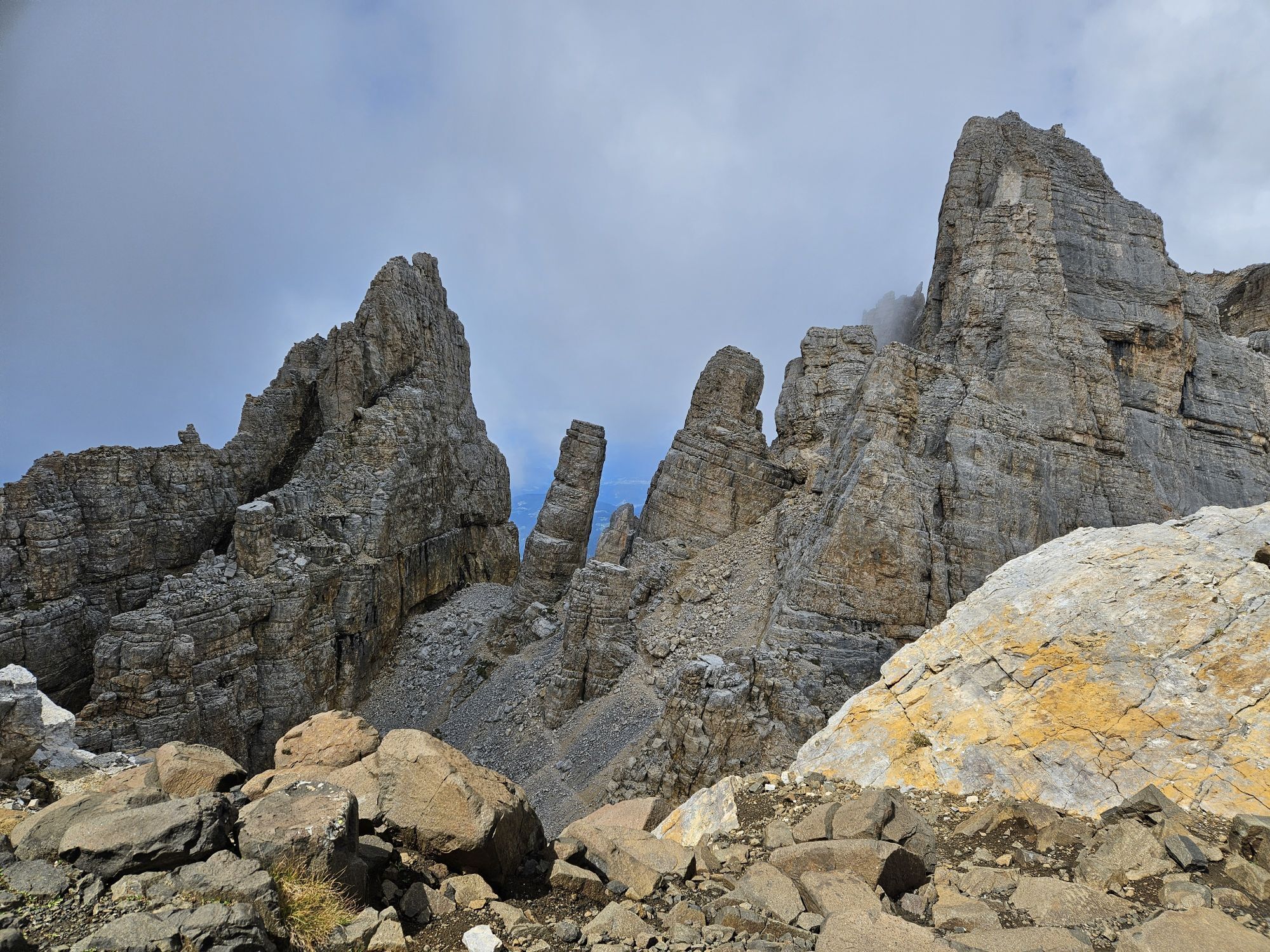
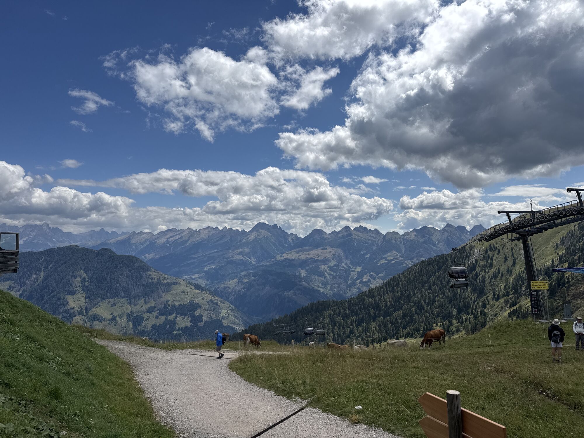
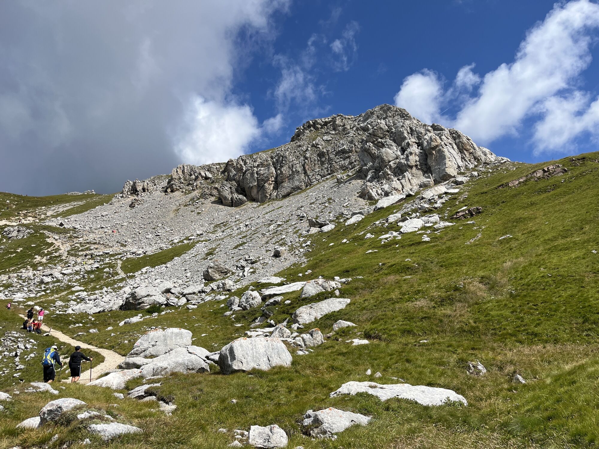
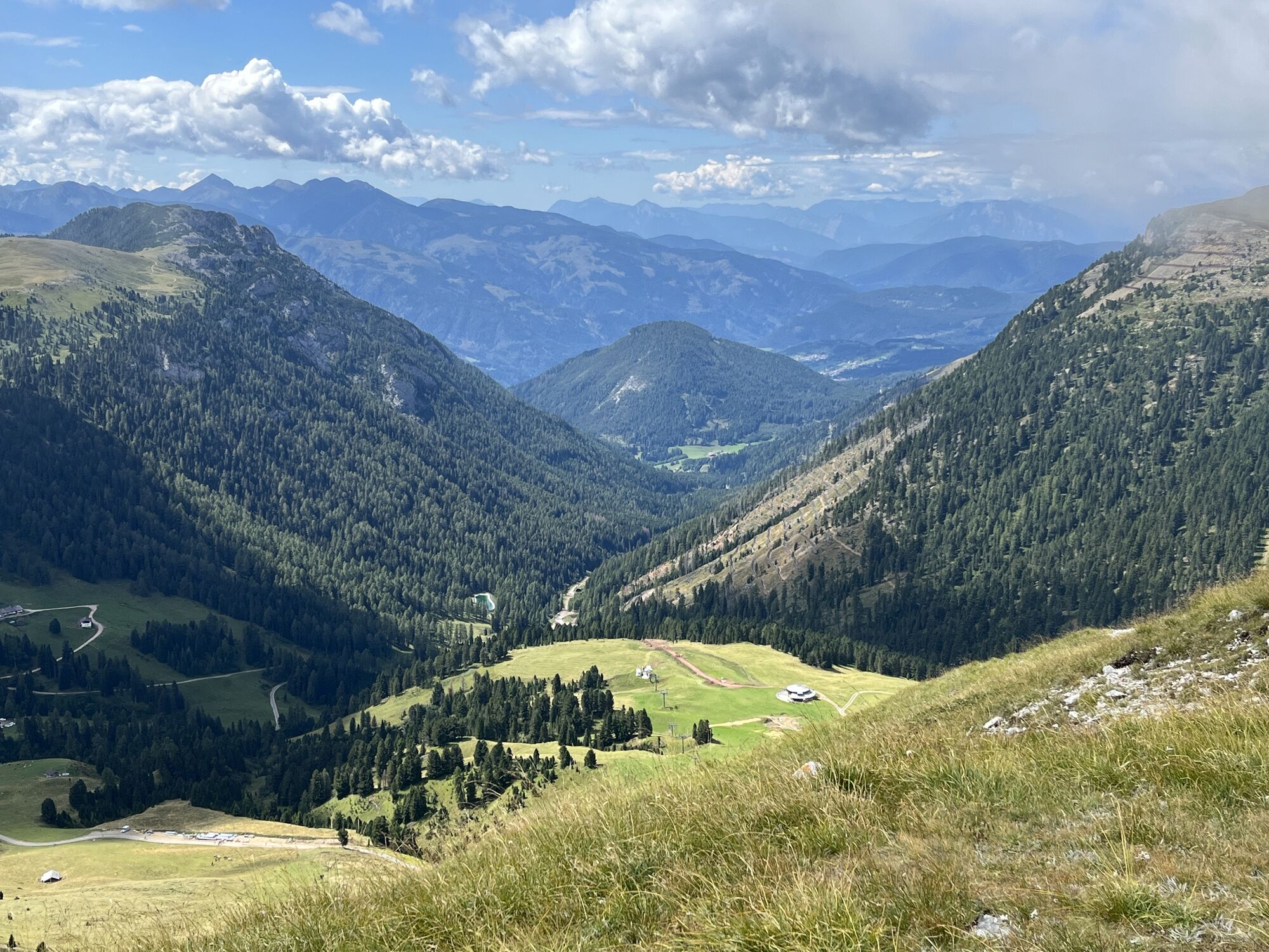
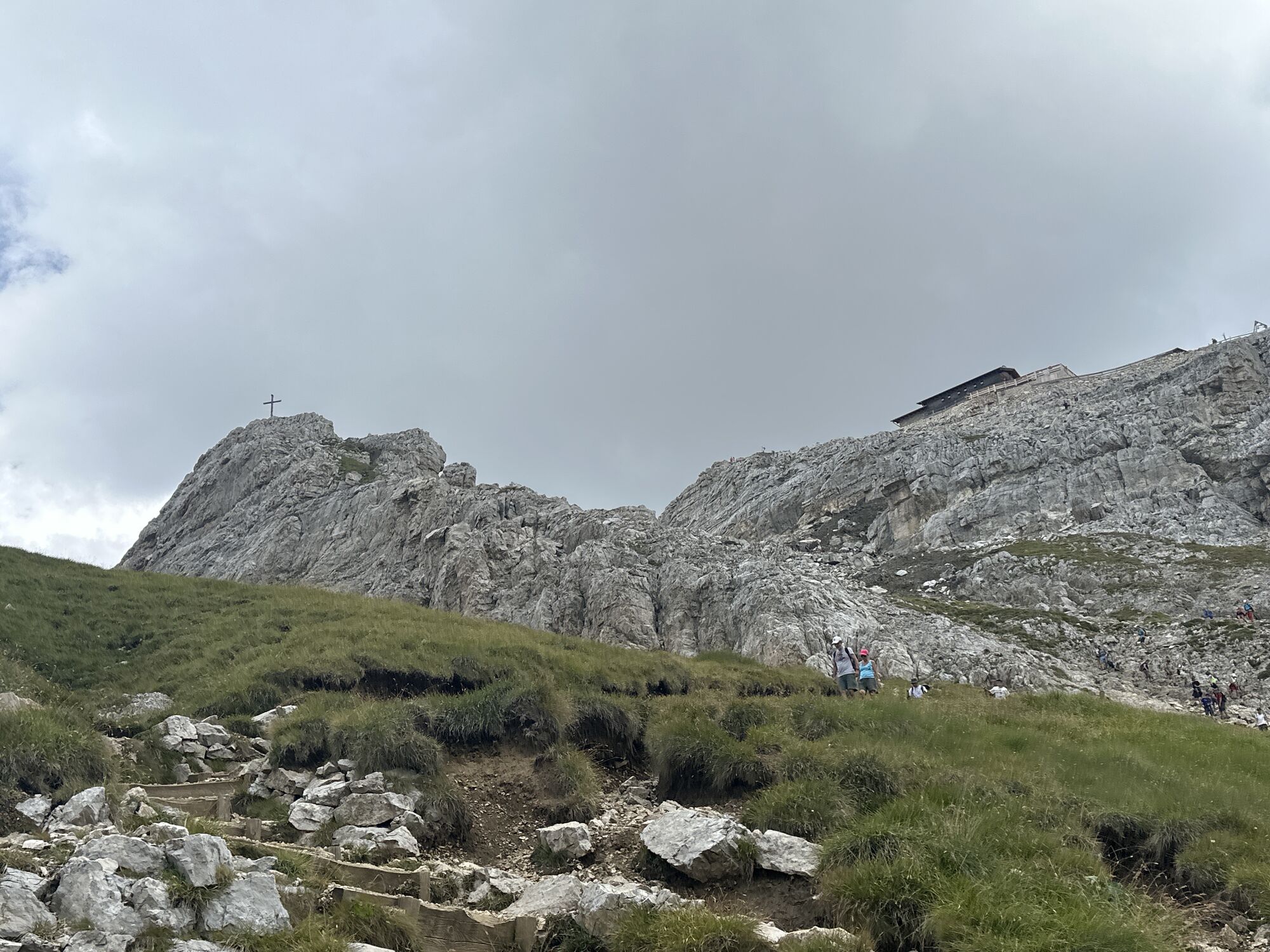
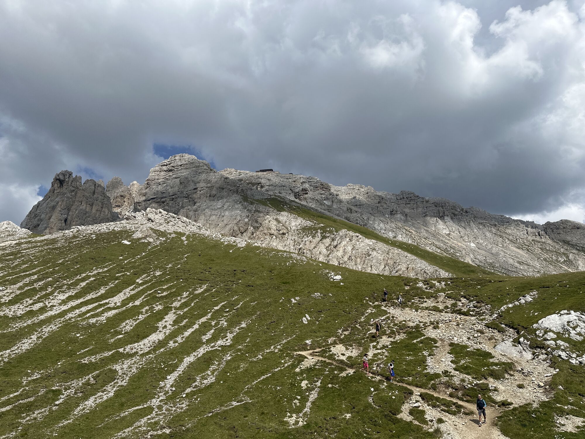
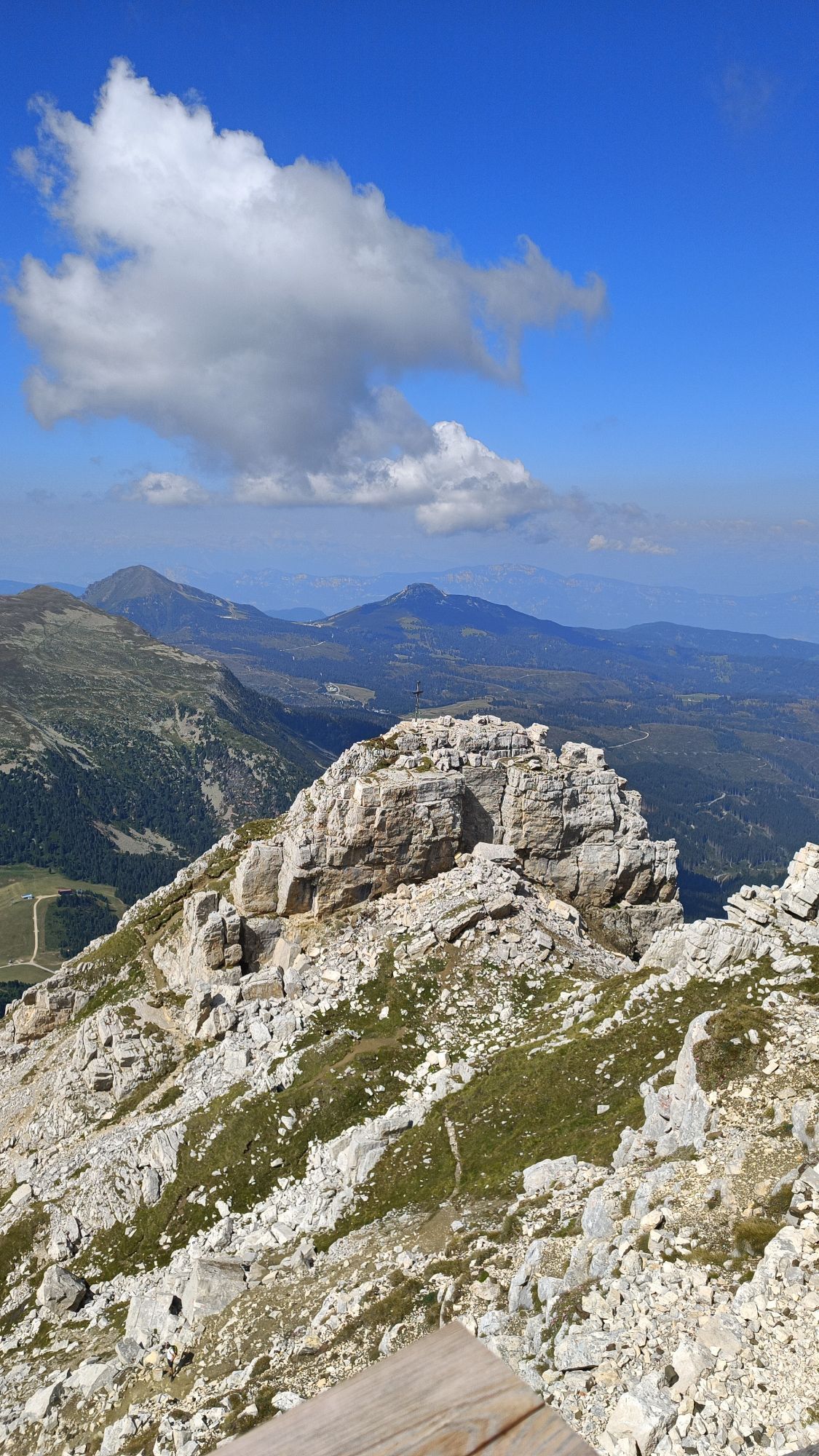
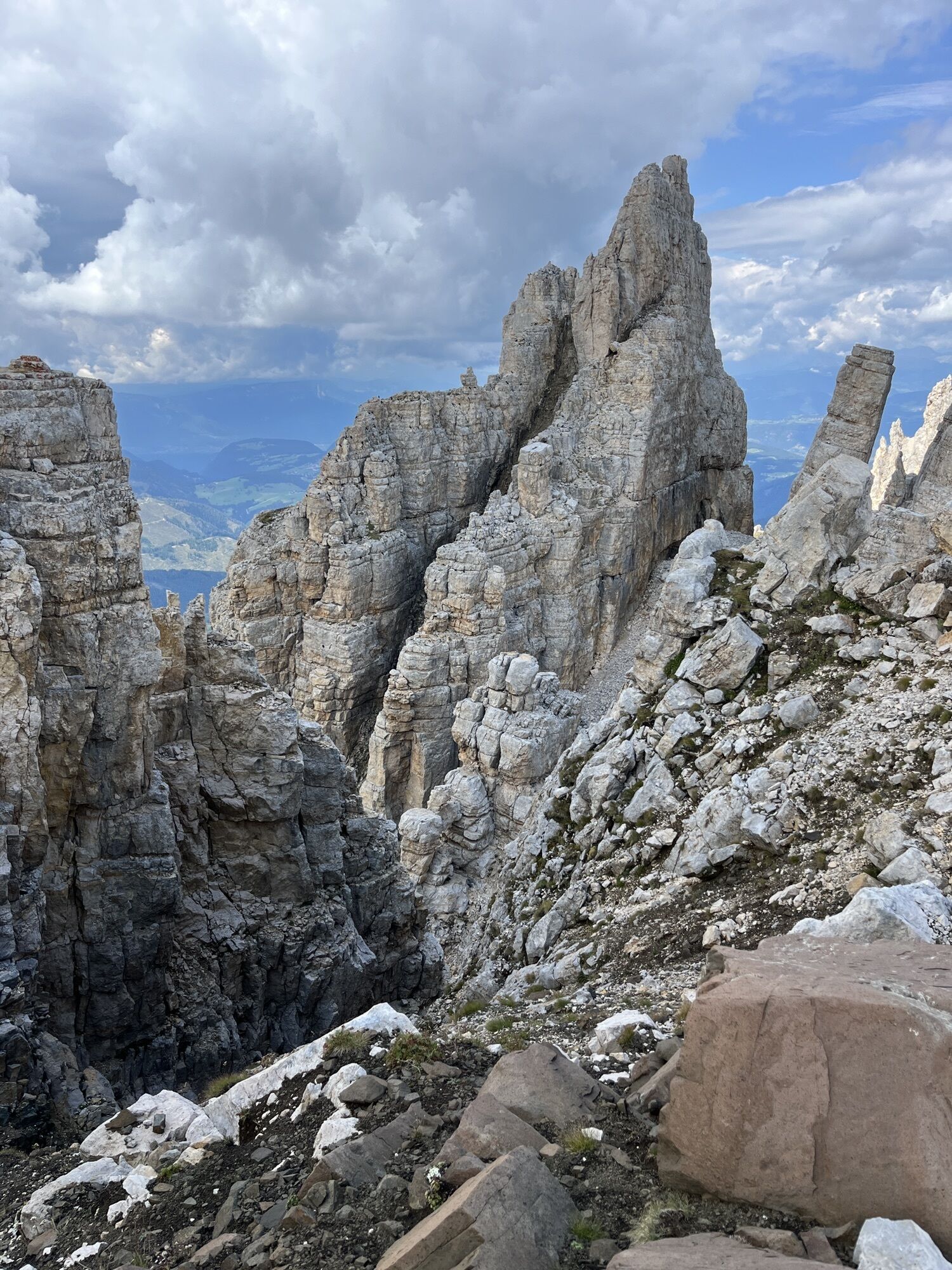
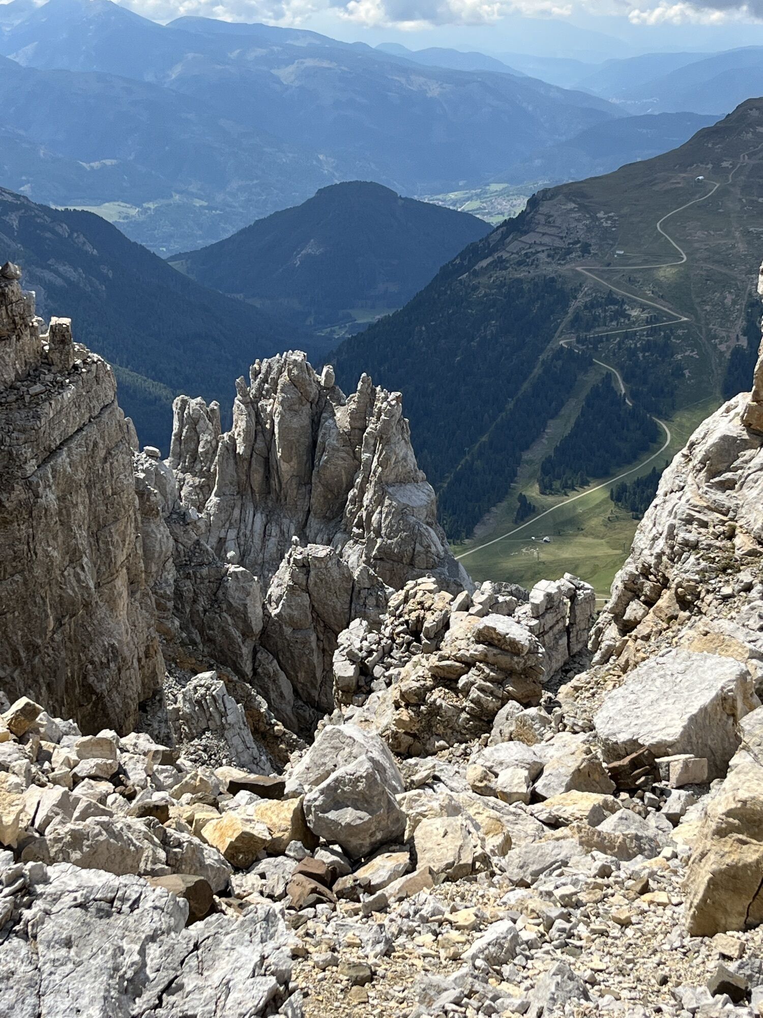
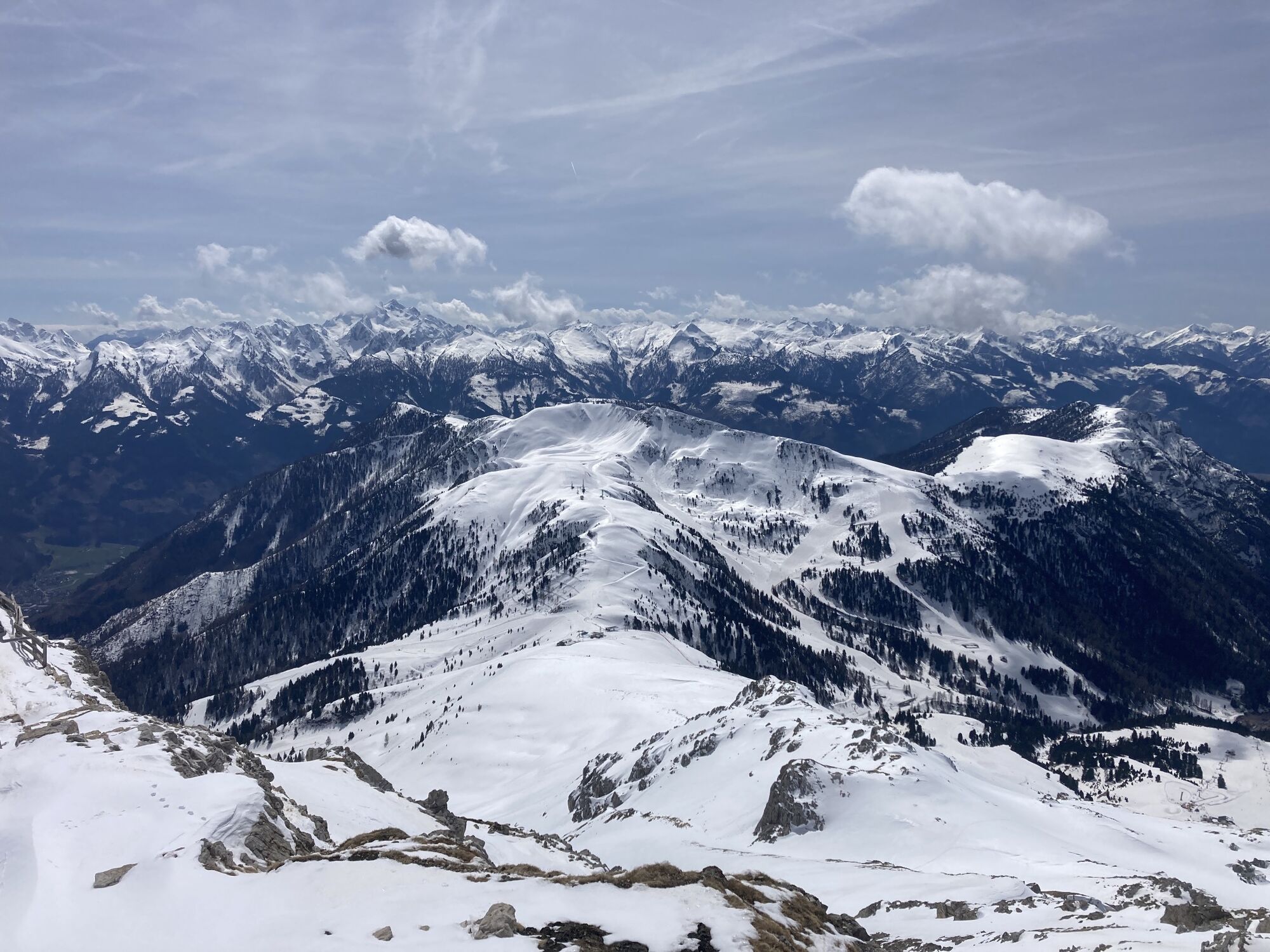
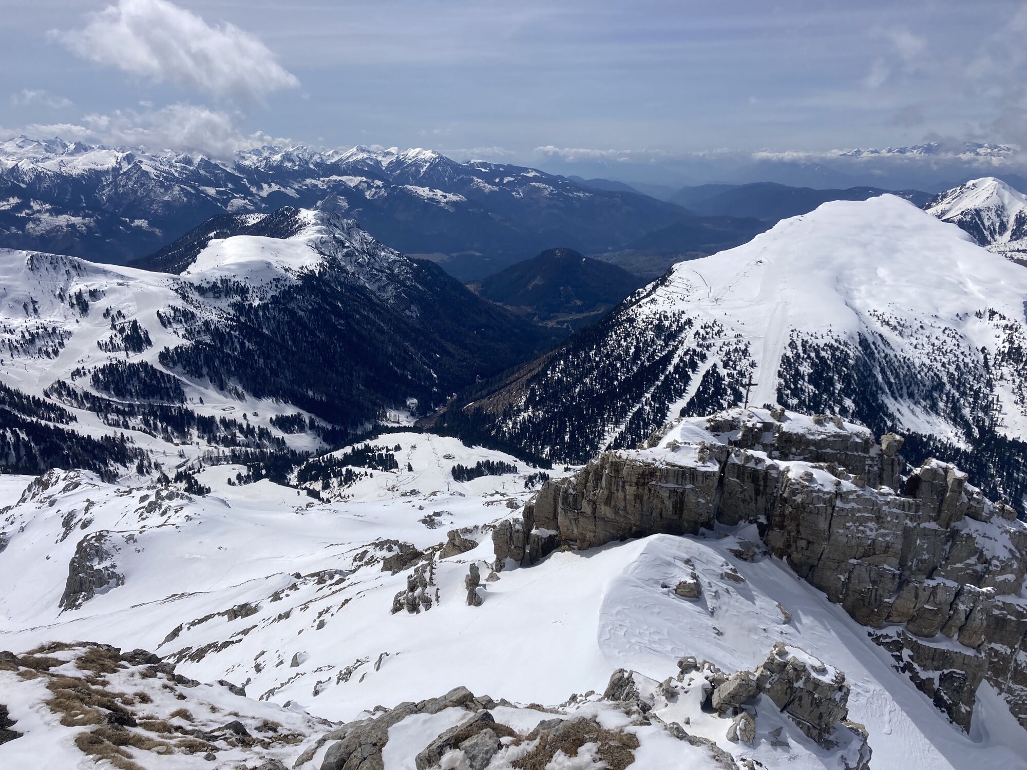
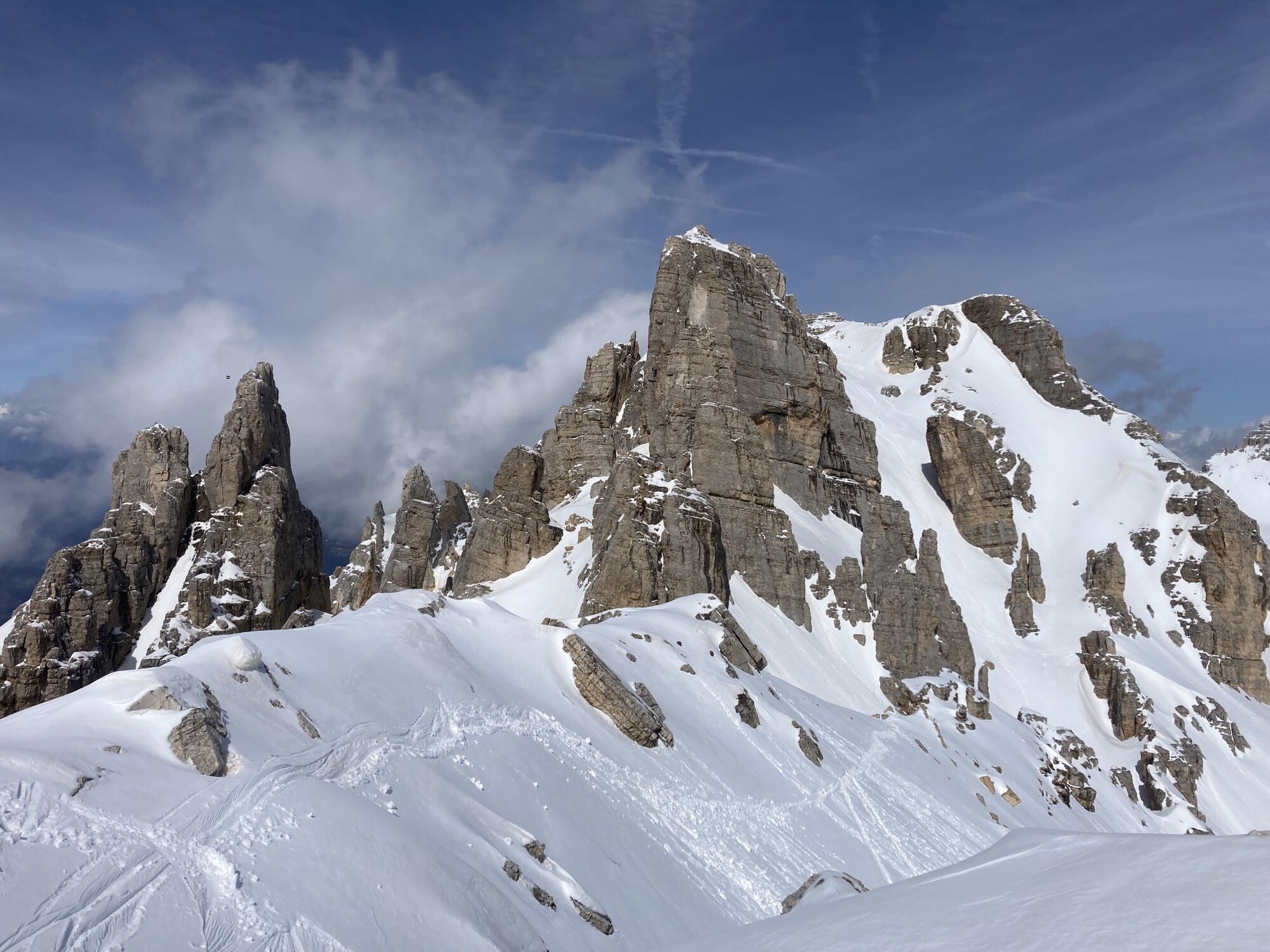
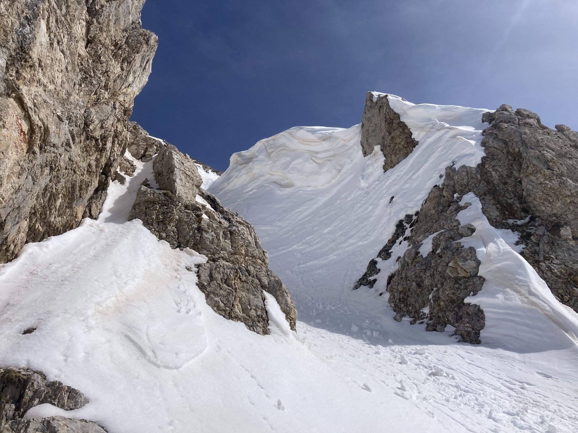
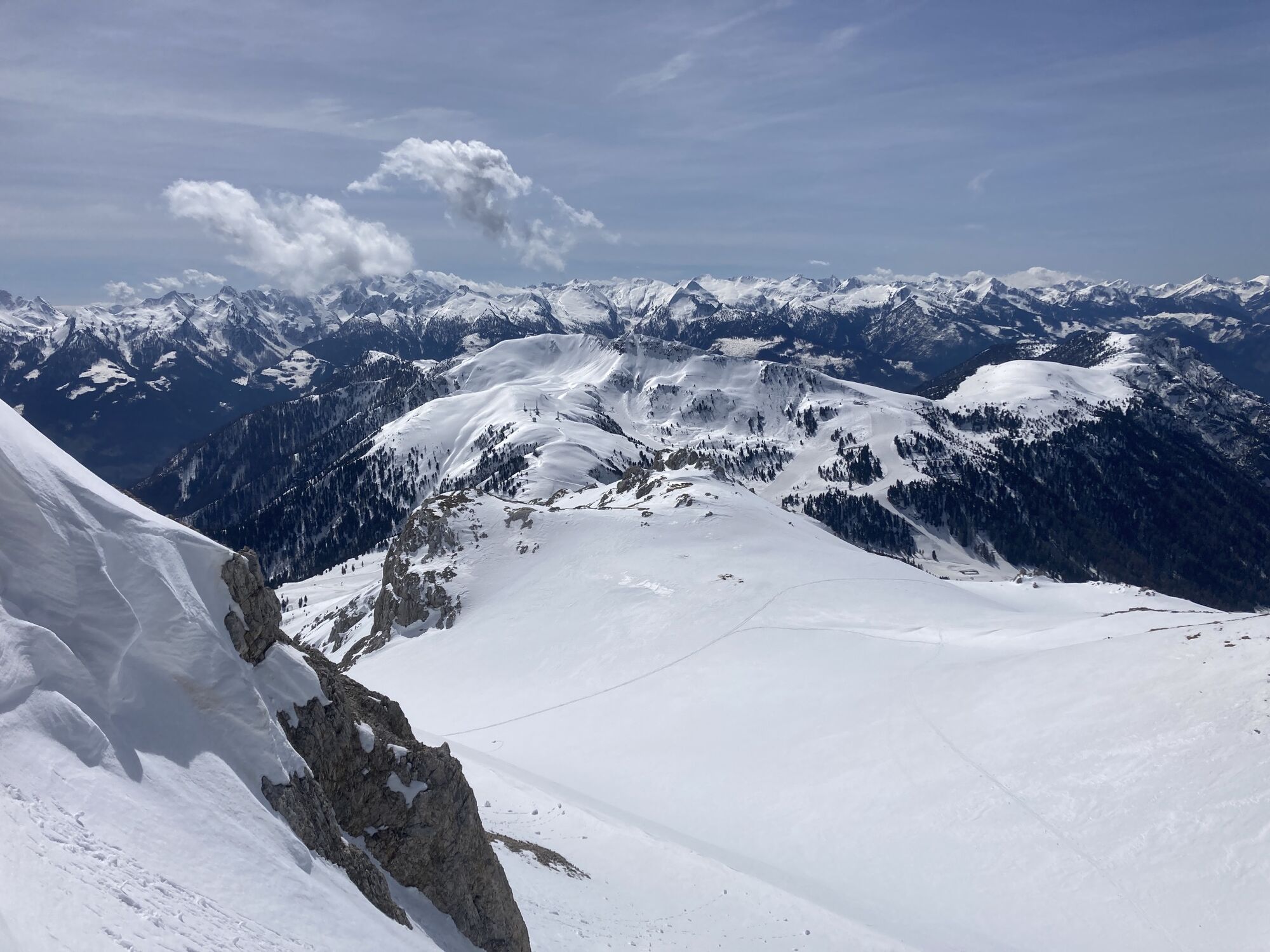
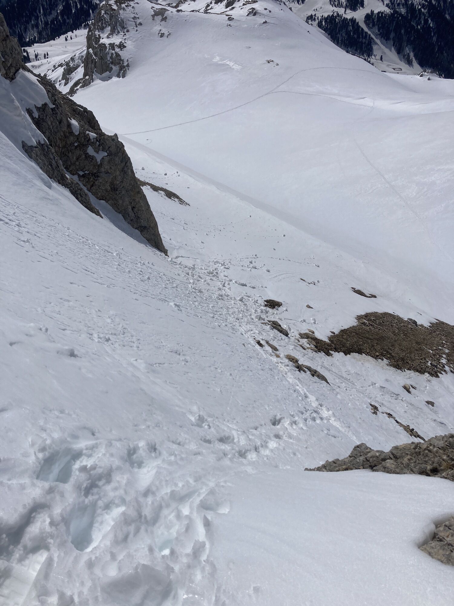
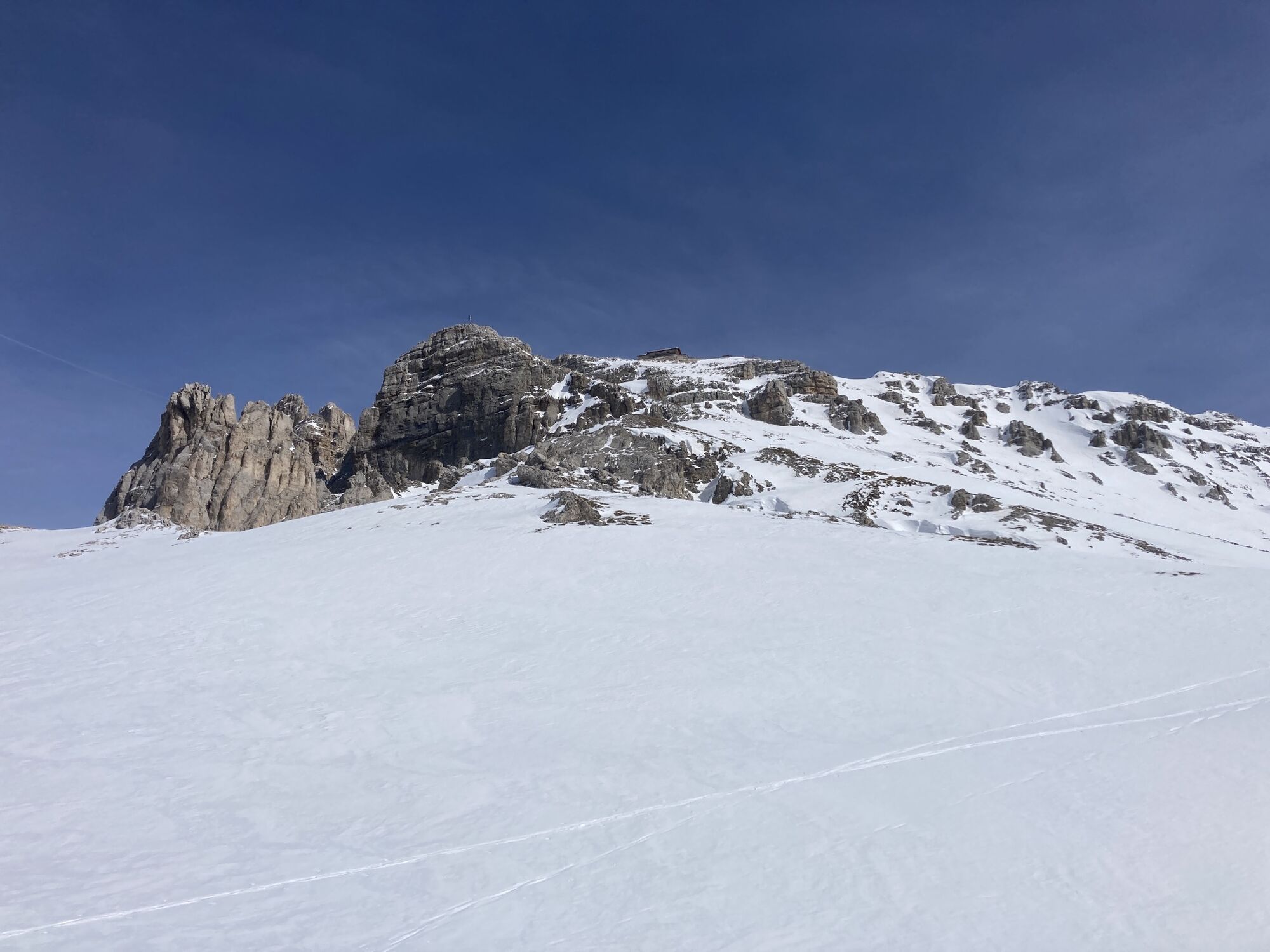
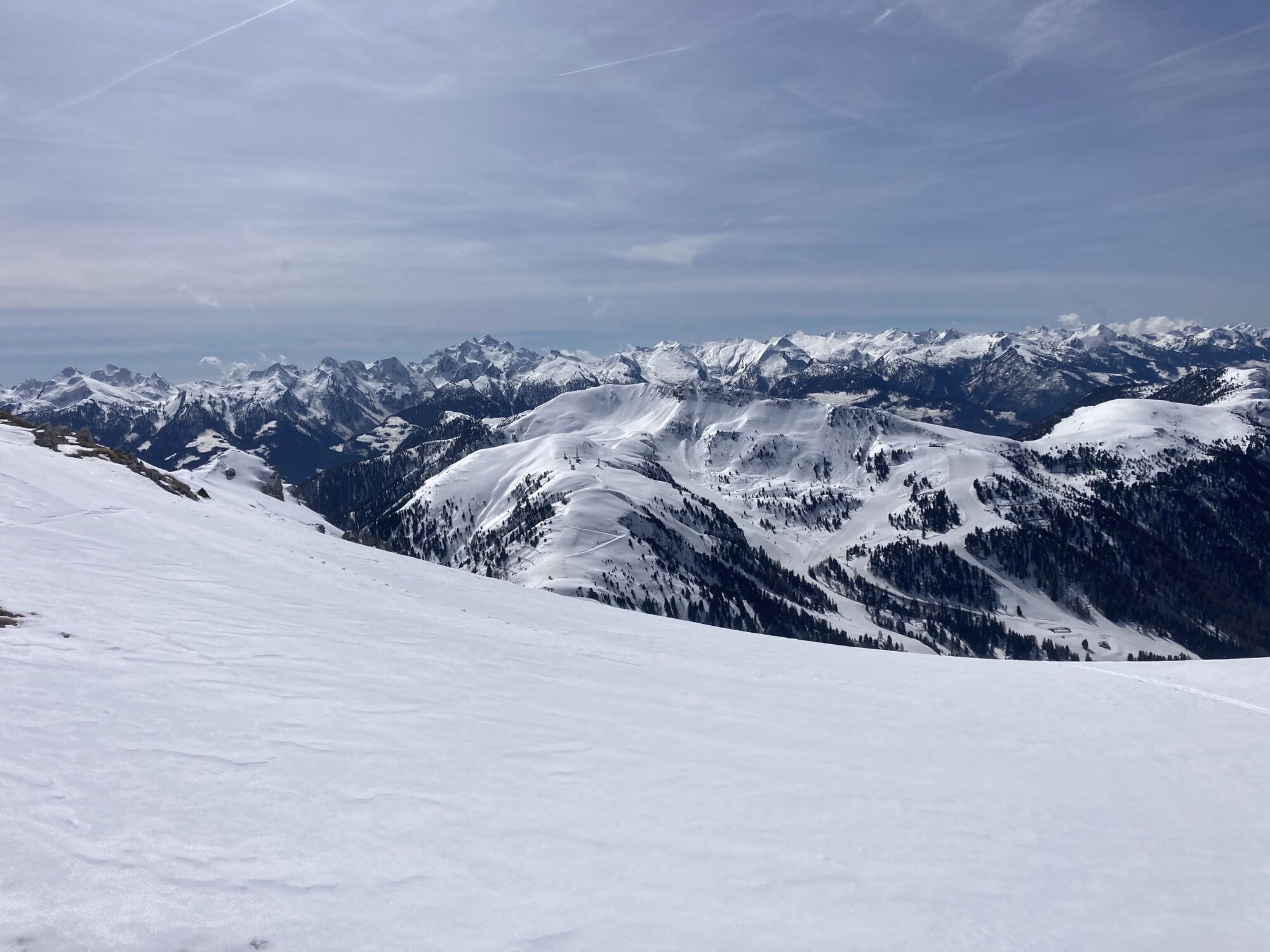
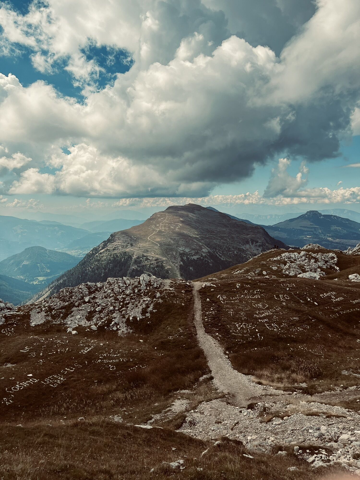
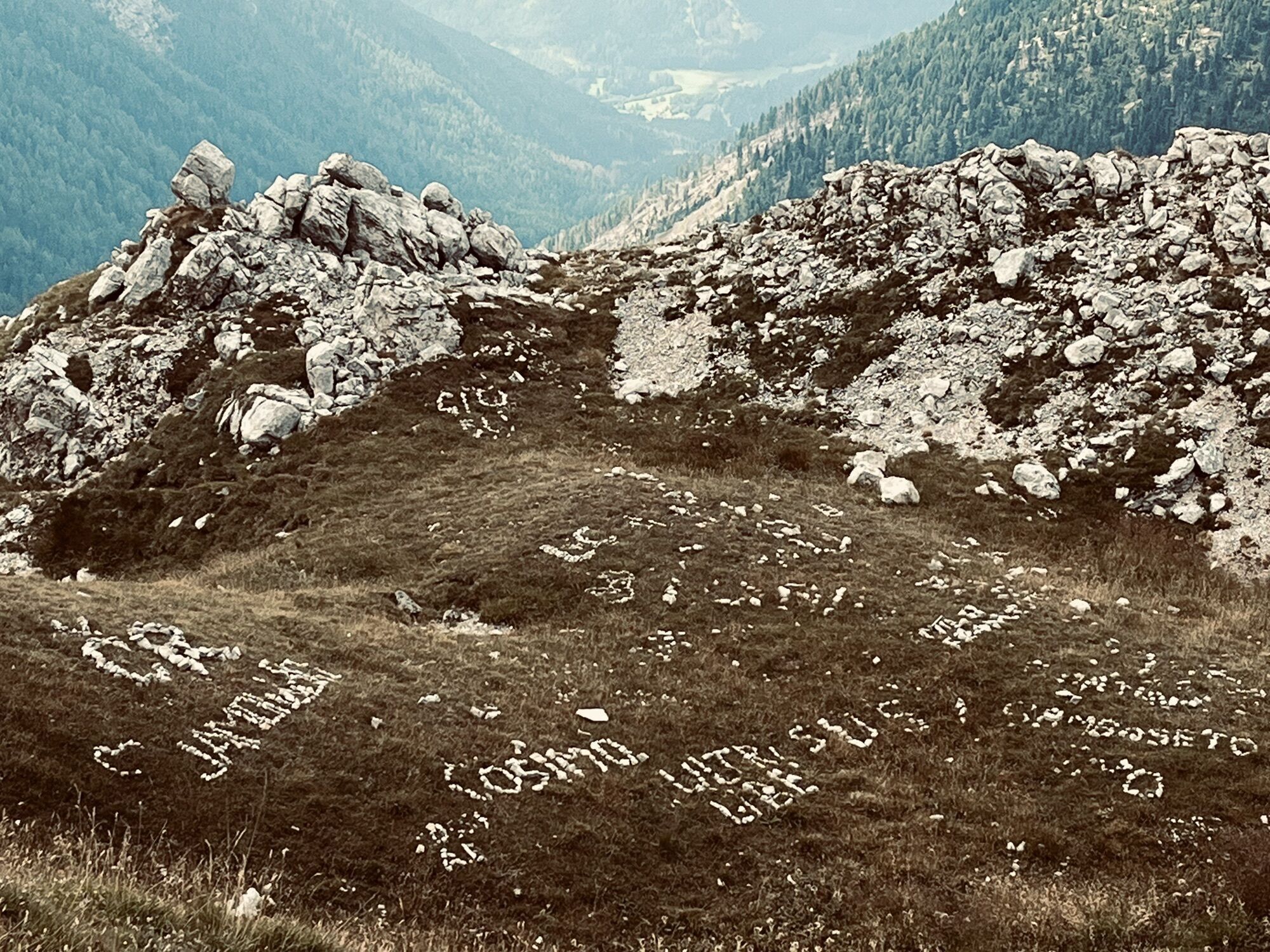
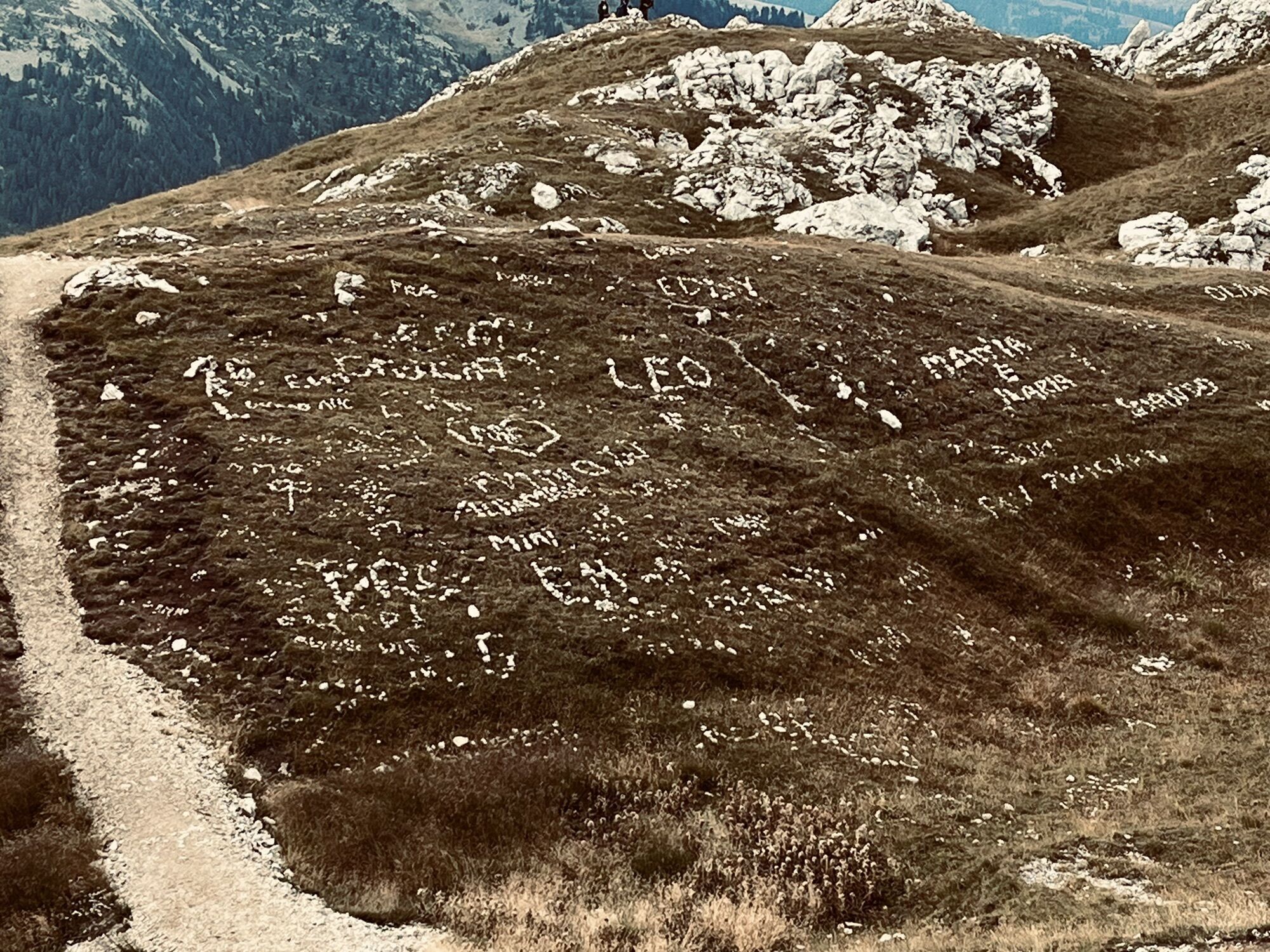
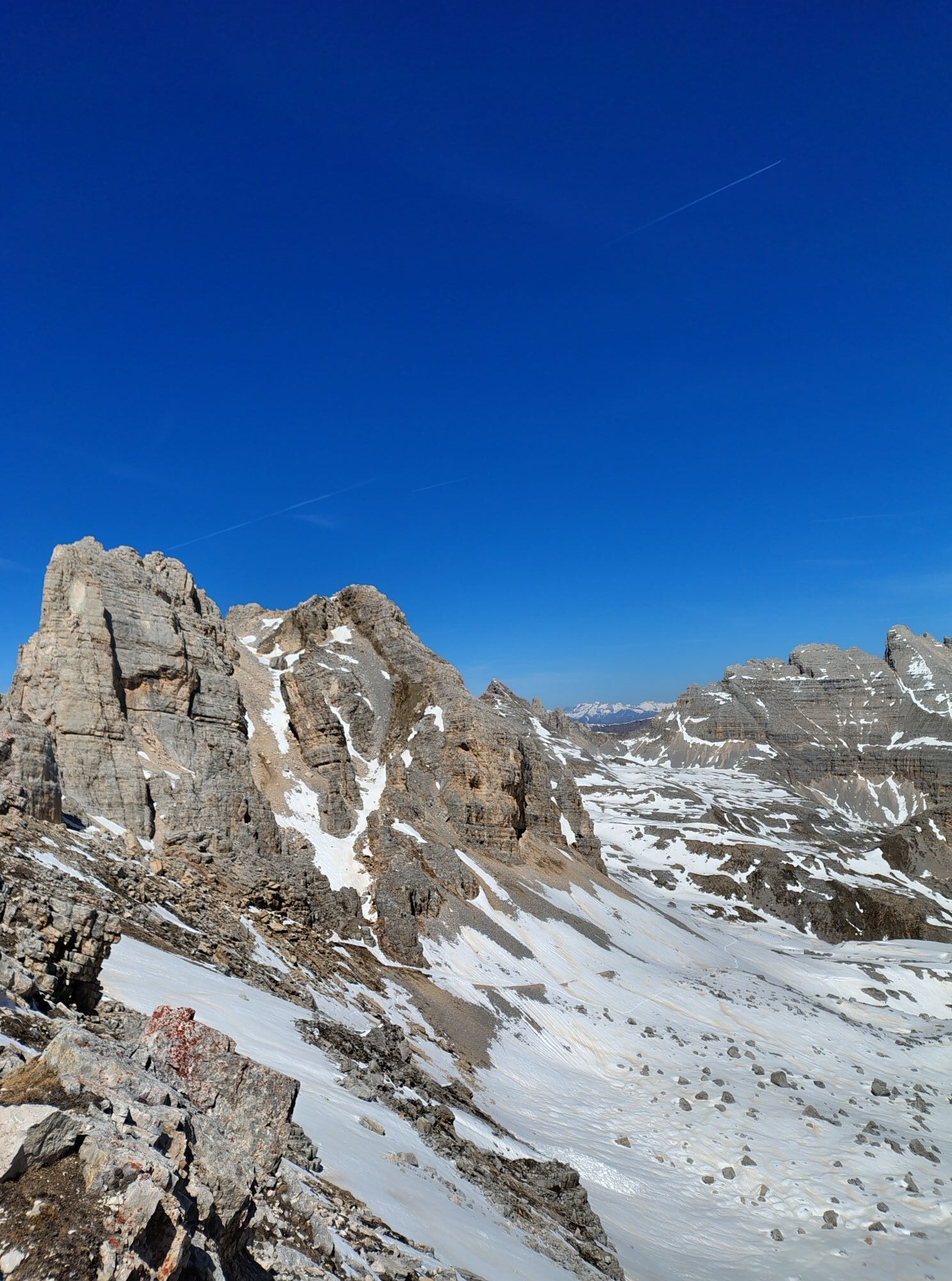
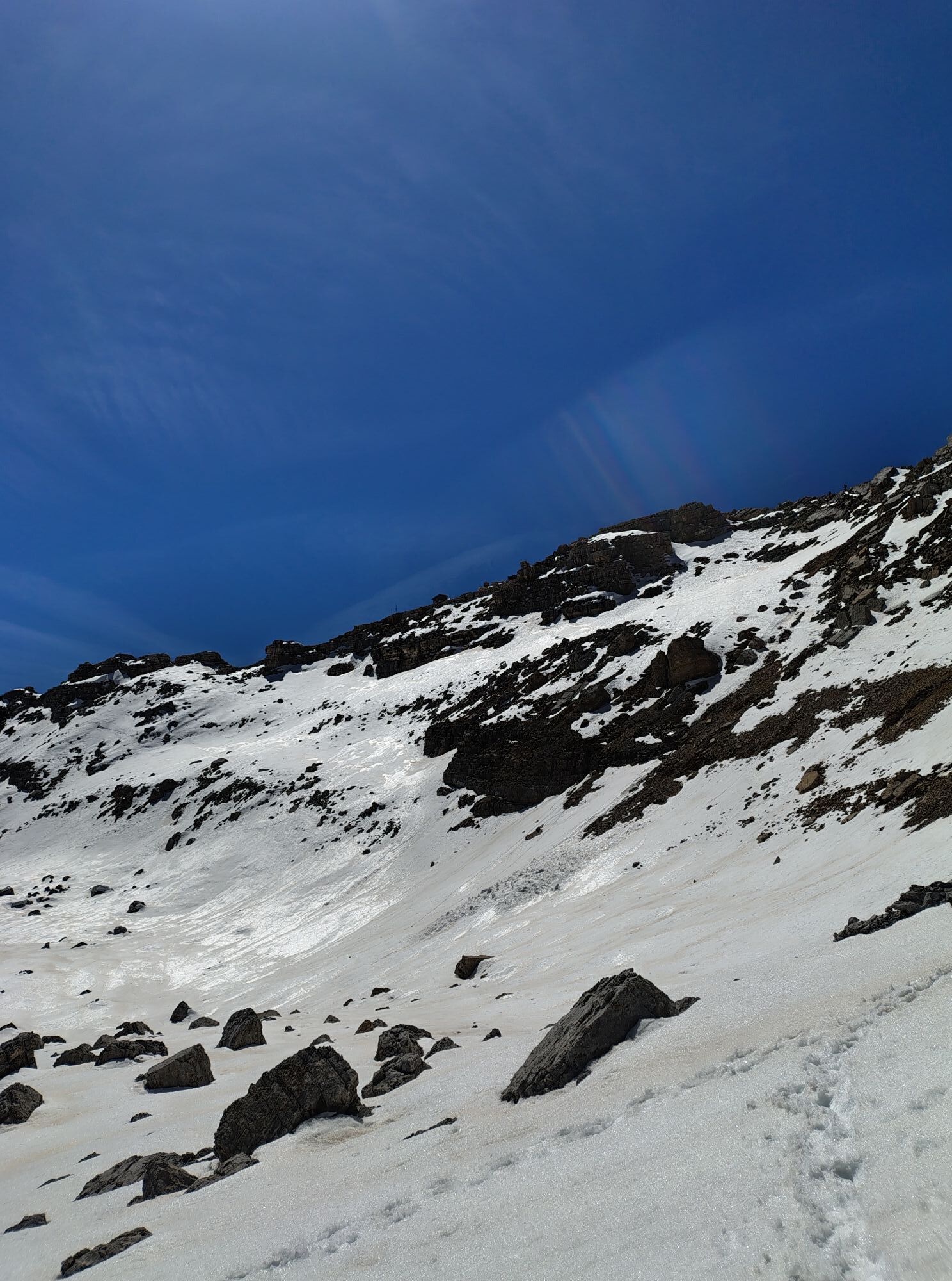
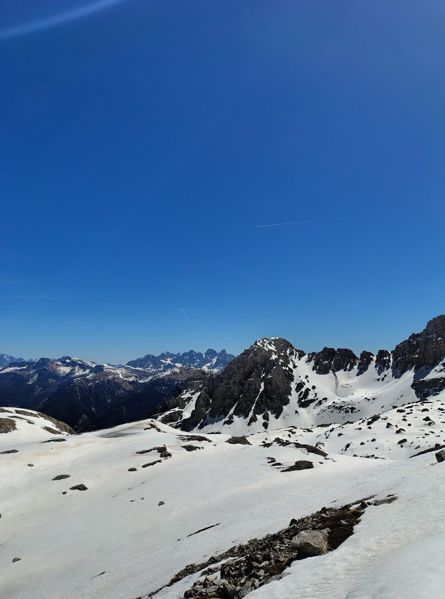
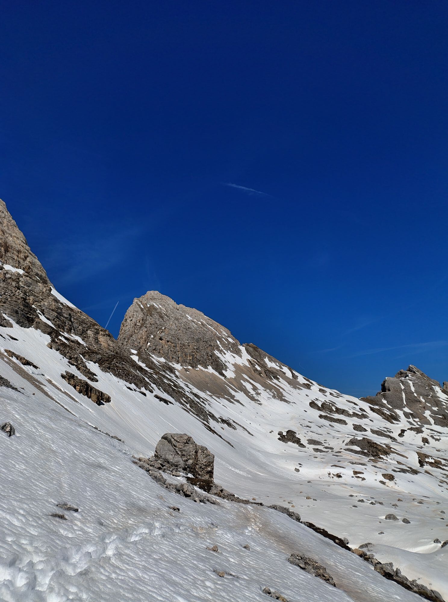
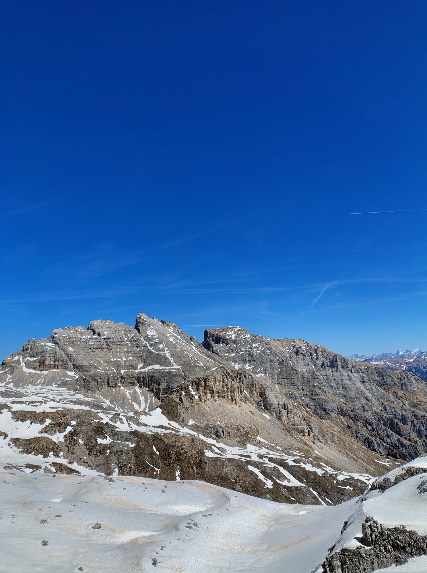
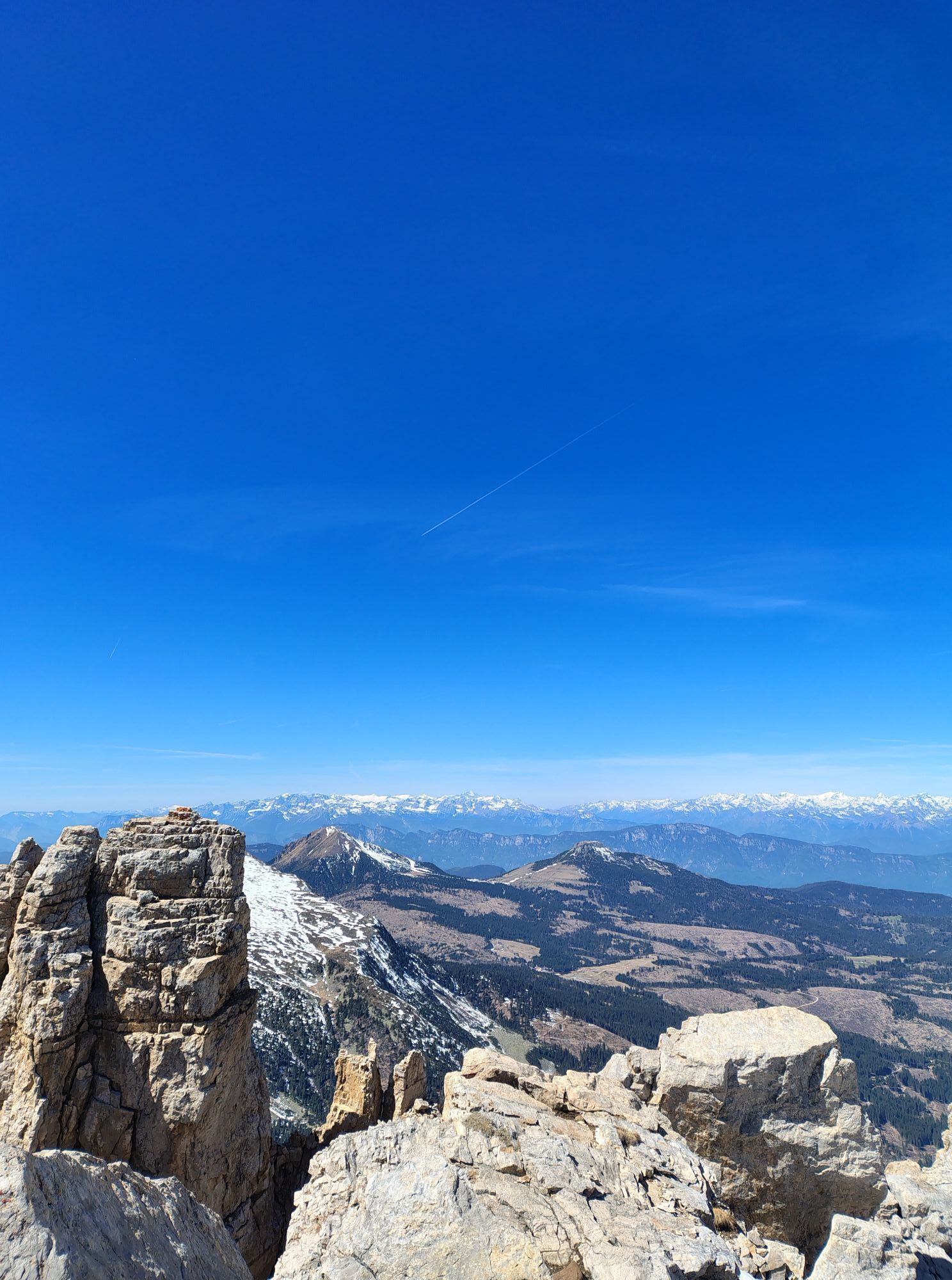
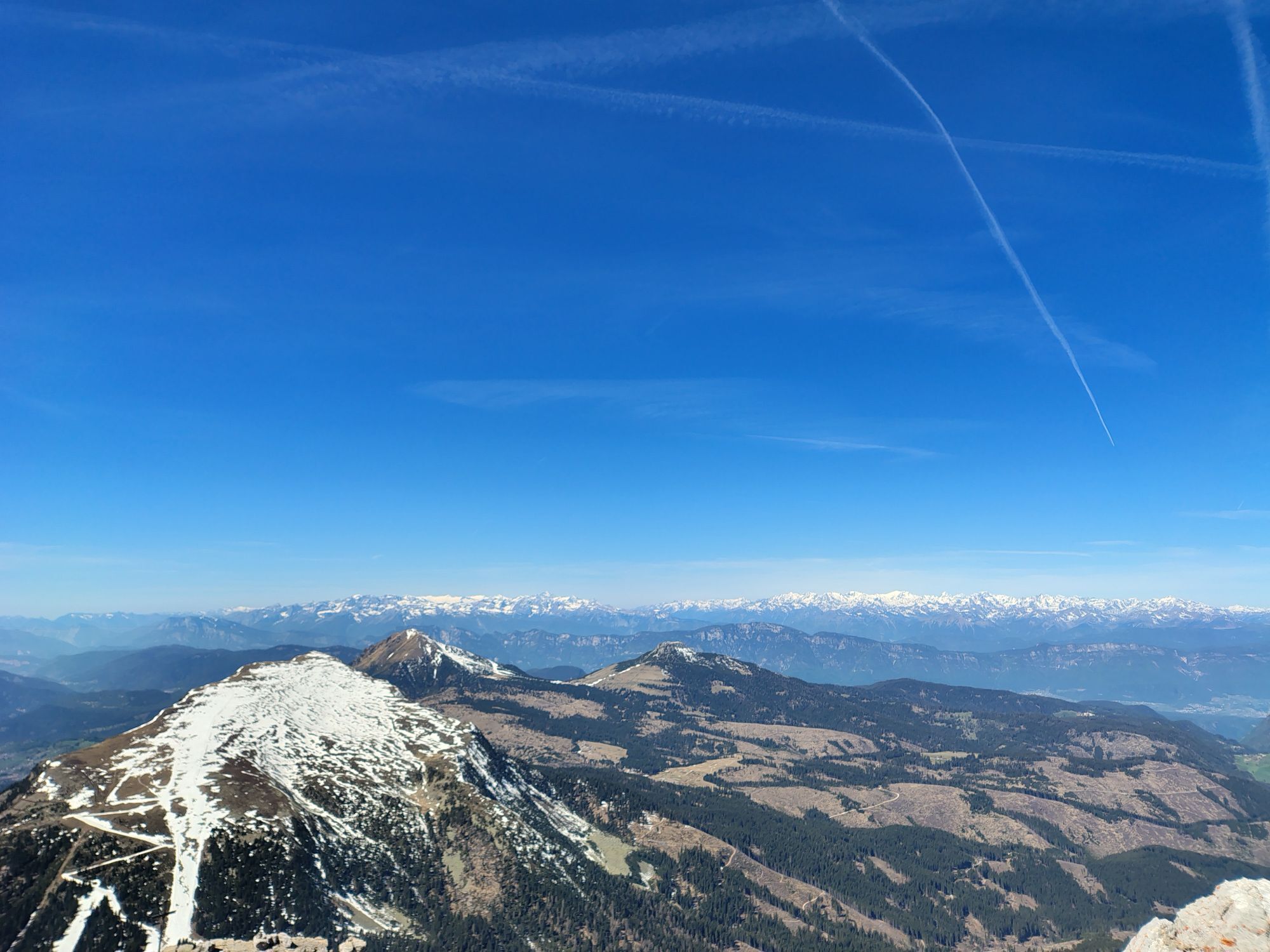
A challenging route in the heart of the Latemar Massif. The first section follows the path leading to the Torre di Pisa mountain hut and the tower of the same name. The route continues across the plateau...
A challenging route in the heart of the Latemar Massif. The first section follows the path leading to the Torre di Pisa mountain hut and the tower of the same name. The route continues across the plateau before descending through the wild Valsorda valley. Once you reach the picturesque hamlet of Forno di Moena, you return along the cycle path to the departure point of the Latemar ski lifts.

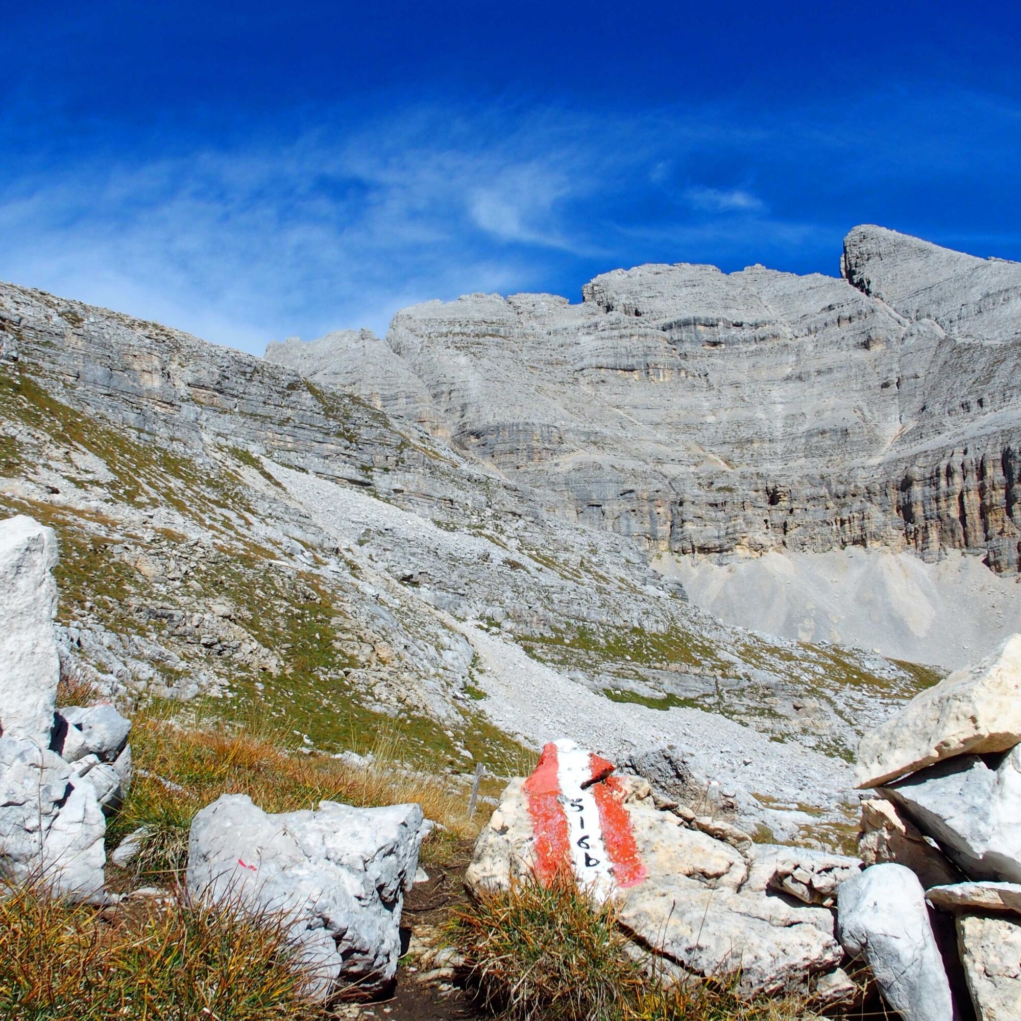
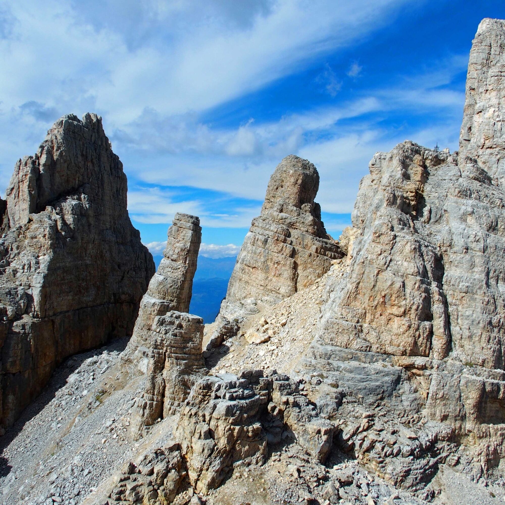
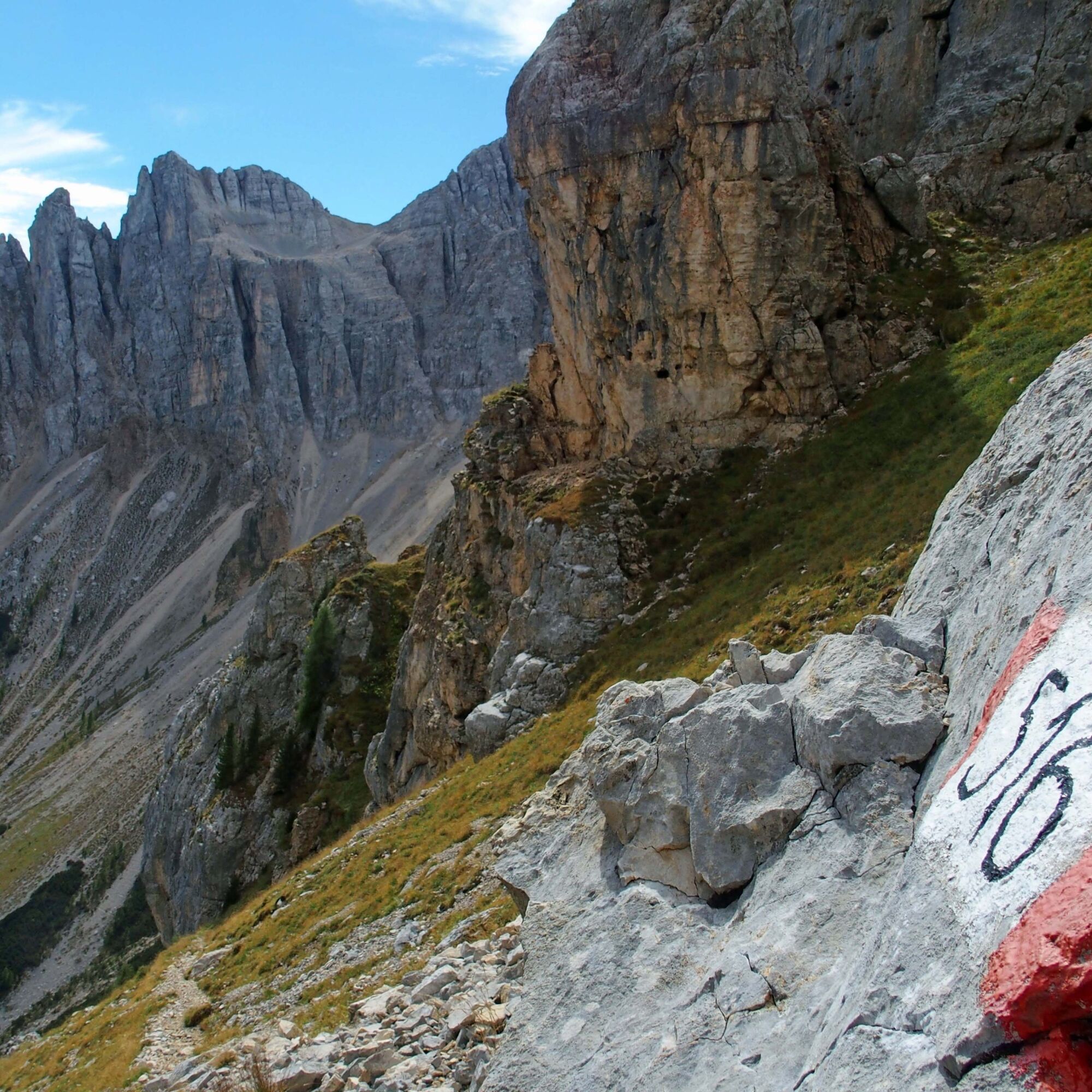
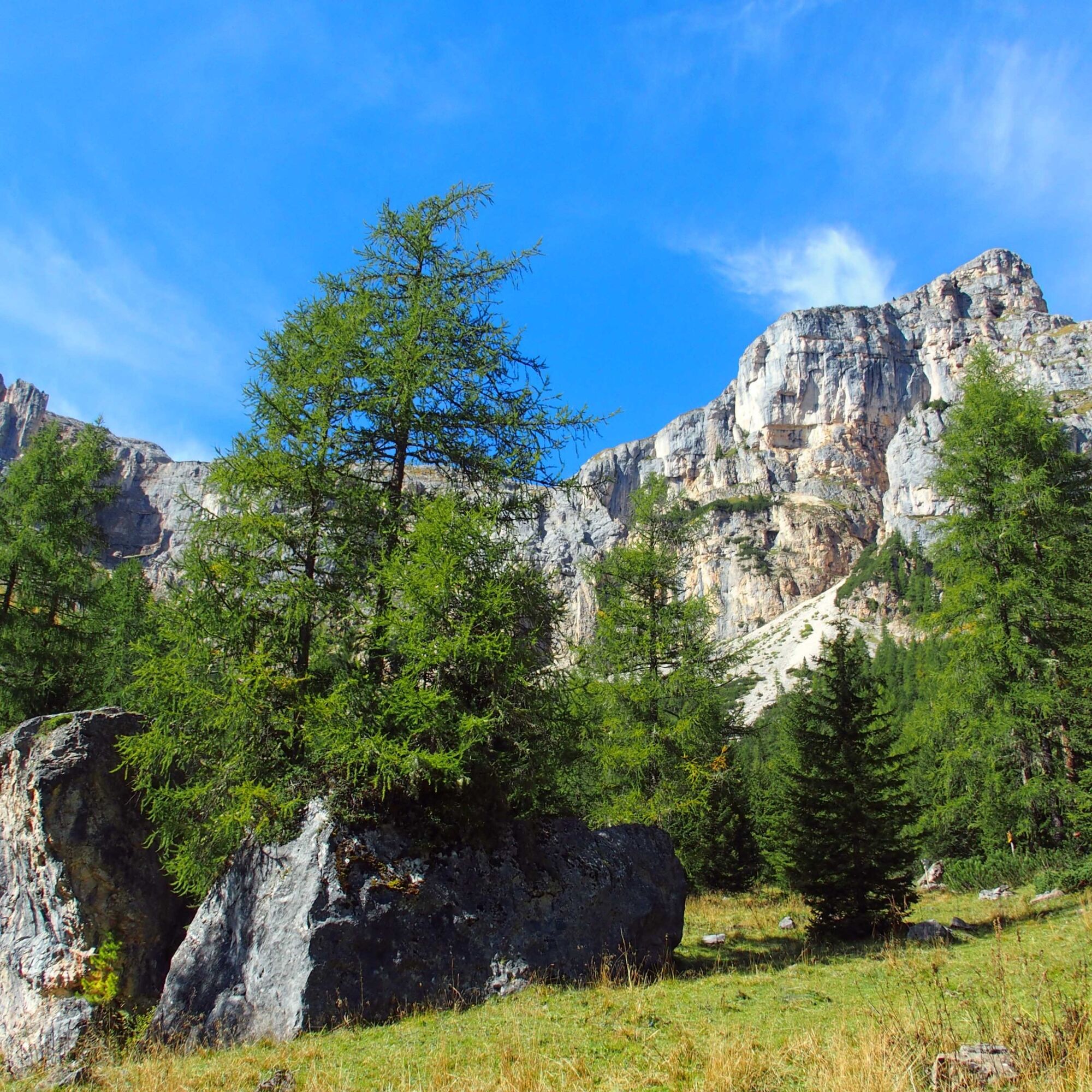

This is where the most challenging section of the route begins. After about a hundred metres of gentle descent through the grass, the path begins to descend steeply, with a short section equipped with a metal cable, which helps you to negotiate some rocky outcrops with ease. Once you reach the woodland, the path continues with a gentler descent, eventually coming out onto a forest track, along which you continue downhill until you reach path no. 516, which runs alongside the stream and leads to the small village of Forno. From here, you can return to the Latemar ski lifts via the cycle path for 3.5 km. Alternatively, there is a regular bus service that will take you to your destination (check the timetables).
Tak
Hiking shoes, rain-jacket, hiking poles, water, snacks and sun cream.
Please note that the practicability of the itineraries in a mountain environment is strictly linked to the contingent conditions and is therefore influenced by natural phenomena, environmental changes and weather conditions. For this reason, the information contained in this page may have changed. Before leaving for a tour, make sure the path you will approach is still accessible by contacting the owner of the mountain hut, the alpine guides or the visitor centres of the nature parks, the info offices of the local tourist board.
The lift station Latemar MontagnAnimata is located on the road from Predazzo to Moena (Val di Fassa).
The lifts Latemar MontagnAnimata are reachable by bus from Predazzo and from Cavalese.
In the parkings of Pampeago and Predazzo lifts.
T3
MontagnAnimata - Tel. +39 0462 884400 - info@montagnanimata.it - www.montagnanimata.it
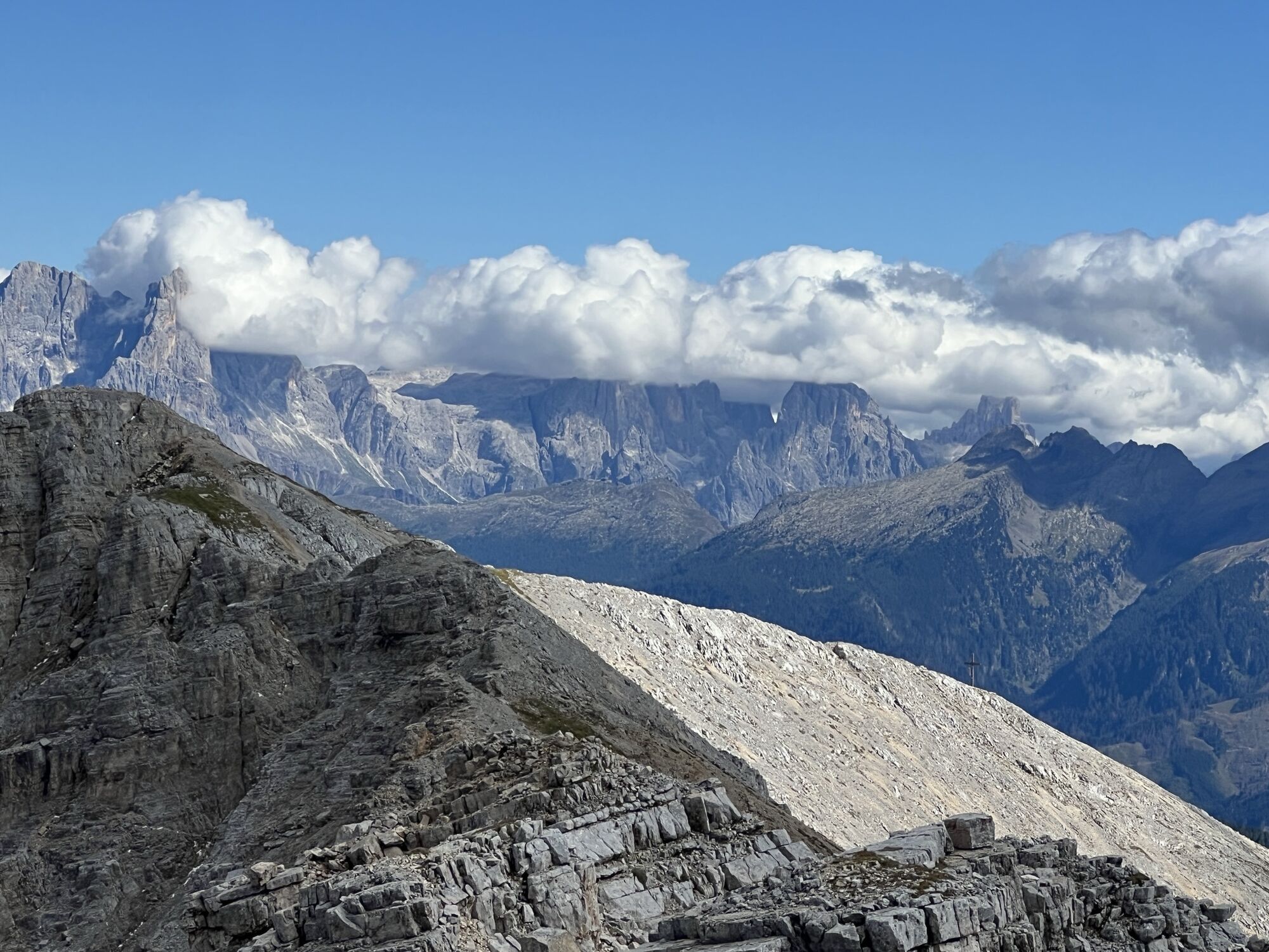
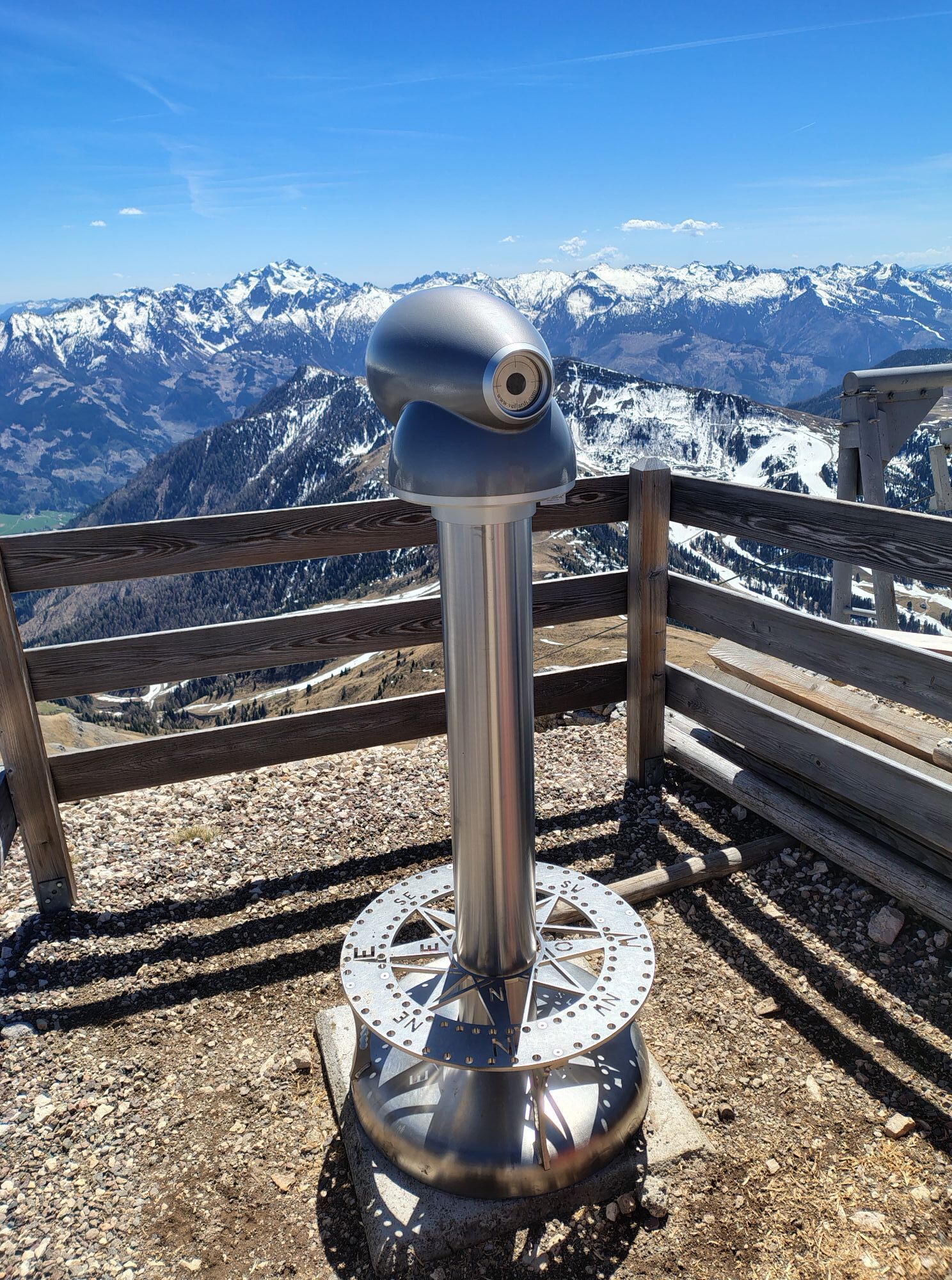
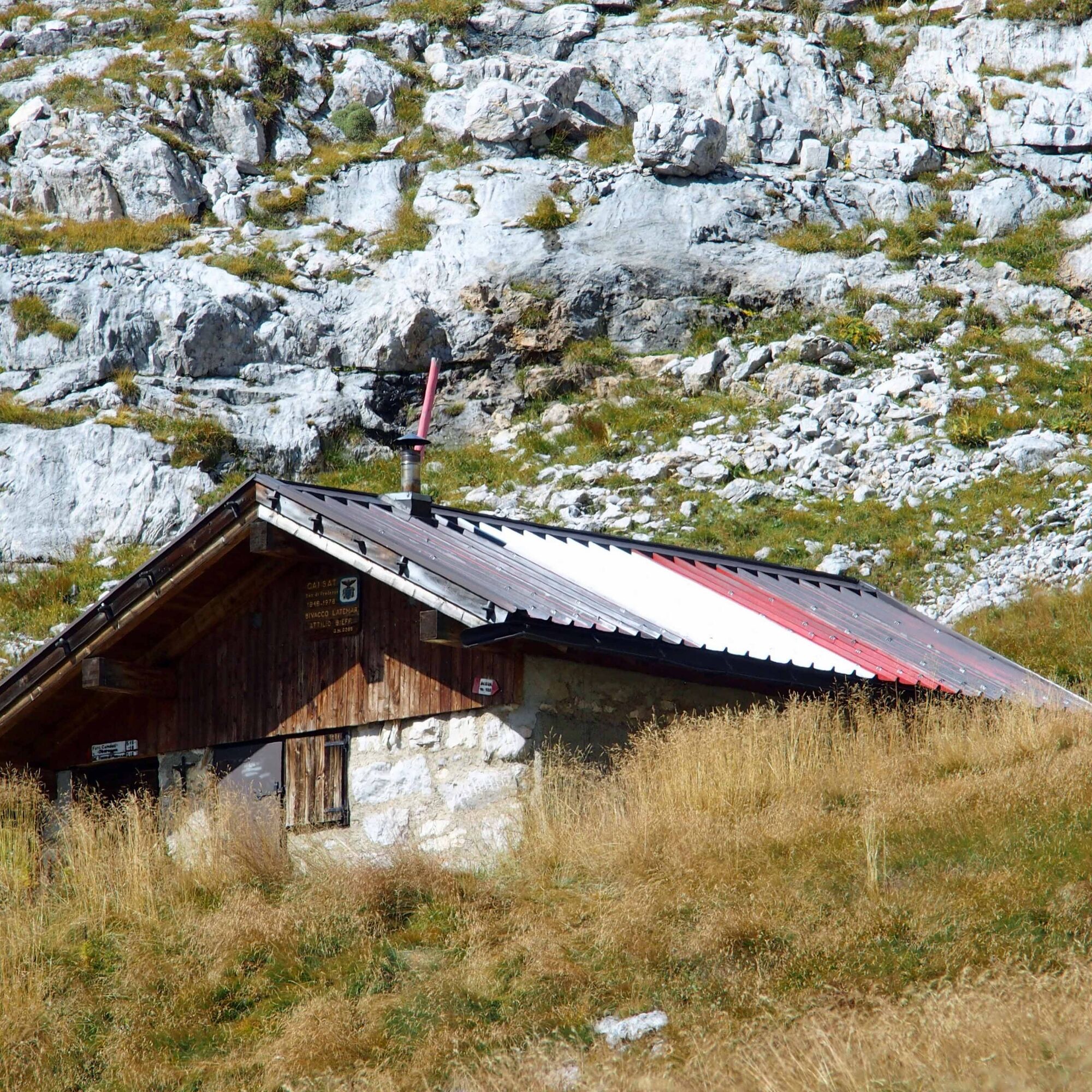
The Sieff bivouac is the perfect spot to stop for a packed lunch. Outside, a bench invites you to rest whilst admiring the view: to the left, the Pale di San Martino are clearly visible, and to the right, the jagged peaks of the Lagorai Range. There is also a spring nearby.
Kamery internetowe z trasy
-
Bergstation Absam Maierl
-
Le Cune
-
Le Cune
-
Le Cune
-
Le Cune
-
Le Cune
-
Le Cune
-
Snowpark Obereggen
-
Le Cune
-
Le Cune
-
Castelir
-
Castelir
-
Castelir
-
Castelir
-
Castelir
-
Castelir
-
Passo di Lavaze
-
Paolina Talstation
-
Talstation Pra di Tori
-
Laner
-
Obereggen - Oberholz Talstation
-
Oberholz Berg
-
Passo Feudo
-
Pra di Tori Bergstation
-
Pra di Tori Bergstation
-
Oberholz Berg
-
Pala di Santa
-
Pala di Santa
Uzyskaj wgląd
Zawsze na żywo z ponad 9 500 kamer internetowych. bergfex Jako użytkownik Pro, możesz teraz zobaczyć odpowiednie kamery internetowe dla wielu wycieczek w aplikacji wycieczki od. Pozwala to na bezpośredni podgląd aktualnych warunków.
Popularne wycieczki w okolicy
-
4,8
Santnerpass Klettersteig
średniVia ferrata 8,29 km -
4,9
Torre di Pisa mountain hut
średniWędrówka 9,09 km -
5,0
Ciampedie - Gardeccia - Refuges Vajolet and Preuss - Refuge Re Alberto I - Gardeccia - Ciampedie
ciężkiWędrówka 11,8 km -
4,7
Passo Costalunga - Sella del Ciampaz
średniWędrówka 8,35 km -
5,0
Ciampedie - Gardeccia - Principe Pass - Antermoia Refuge - Val Duron - Campitello
ciężkiWędrówka 18,7 km -
4,7
Stage 1 Dolomiti Trek King in autumn - Catinaccio
ciężkiWędrówka 15,3 km -
5,0
Latemar Umrundung - die Kurze und Bequeme
średniWędrówka 12,1 km -
4,5
Kölner Hütte - Hirzelsteig - Rotwandhütte - Baita Tre - Karerpass
średniWędrówka 9,56 km -
5,0
Rosengarten: Cigoladepass und Fassaner Höhenweg
średniWędrówka 15,6 km -
5,0
Giro del catinaccio a nova levante
Wędrówka 11,7 km
Wędrówki i tropienie


Nie przegap ofert i inspiracji na następne wakacje
Twój adres e-mail została dodana do listy mailingowej.





