






Val Algone: discovery trail in Parco Naturale Adamello Brenta
It stretches out between the Ponte Pià gorge and the Gotro Pass and is bisected lengthwise by the River Algone. From a naturalistic point of view, it boasts an extraordinarily wide variety of plant and...
It stretches out between the Ponte Pià gorge and the Gotro Pass and is bisected lengthwise by the River Algone. From a naturalistic point of view, it boasts an extraordinarily wide variety of plant and animal species. Roe deer can be seen cavorting at the bottom of the valley and on the outskirts of numerous clearings, while chamois gambol about the rocky slopes of Cima Vallon and Castello dei Camosci. It is also easy to spot marmots in the Val di Sacco. A few royal eagles have also chosen this corner of the park as their nesting grounds.

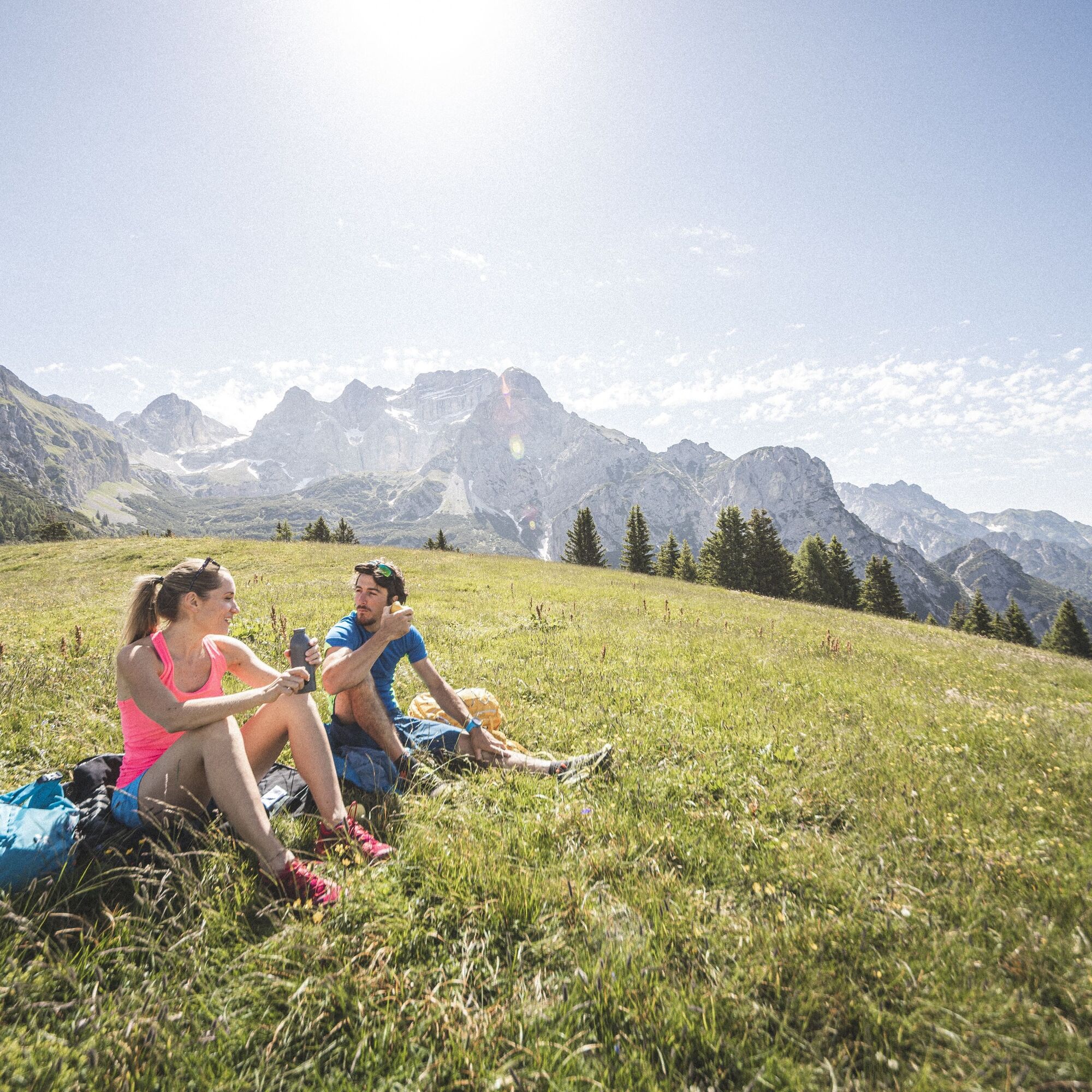
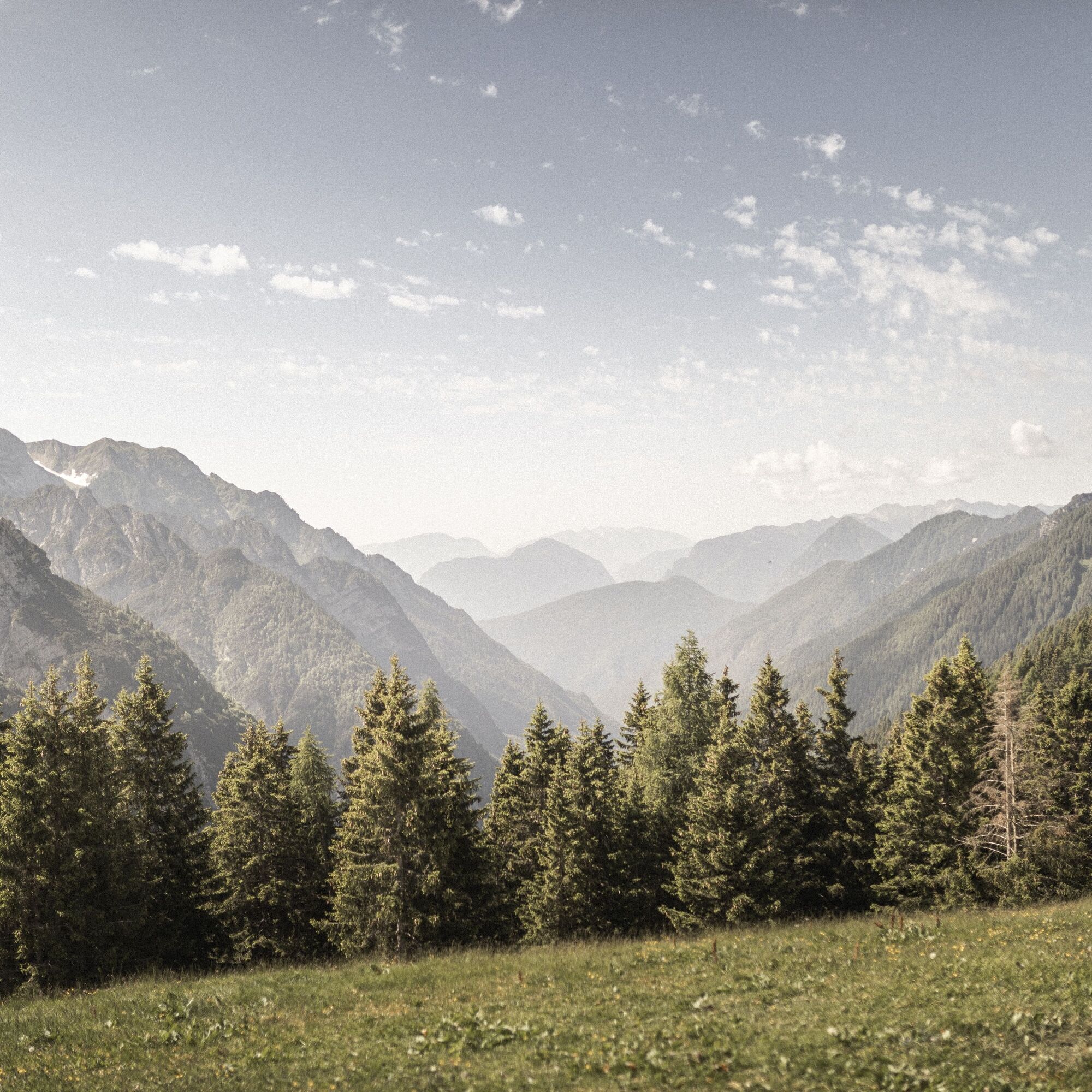
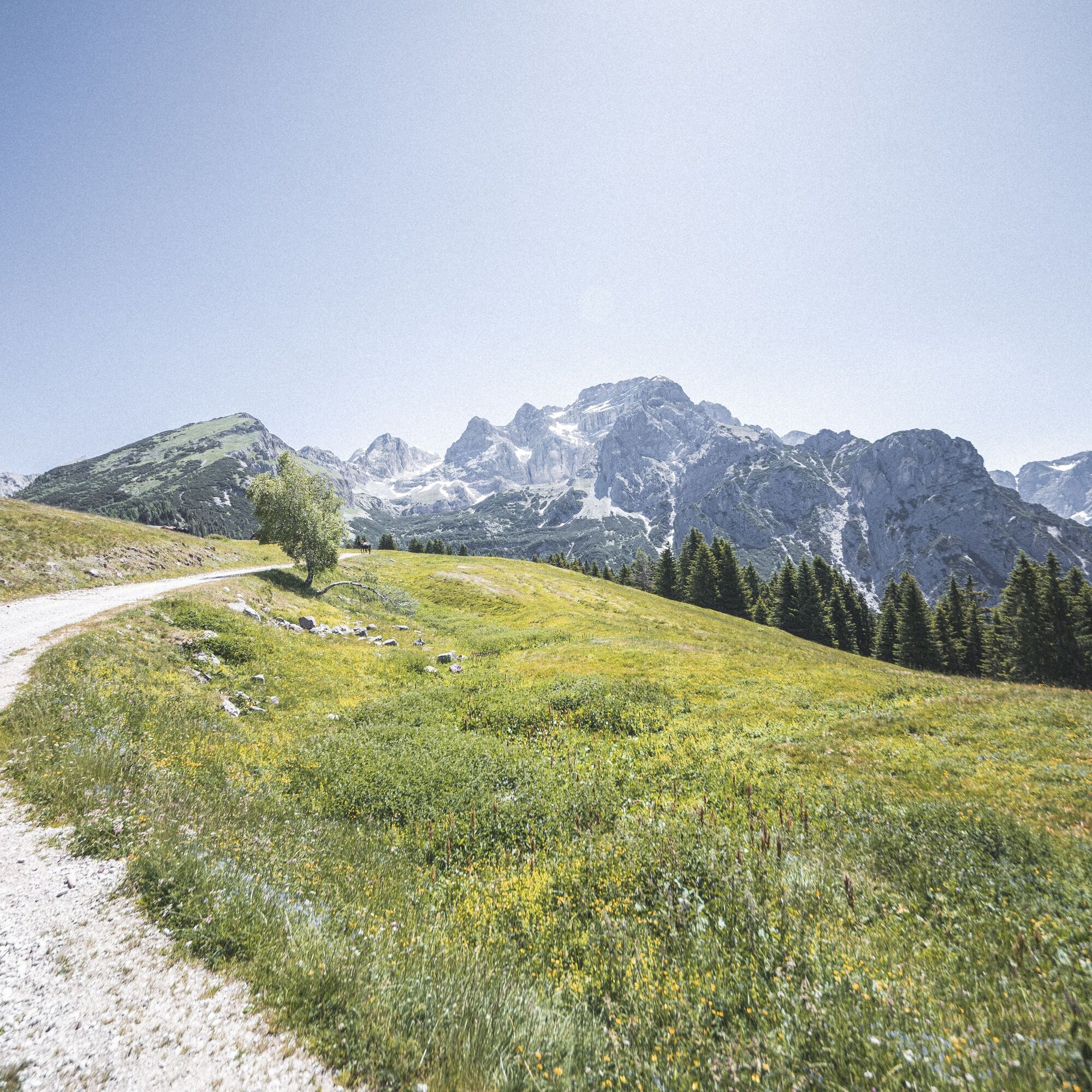
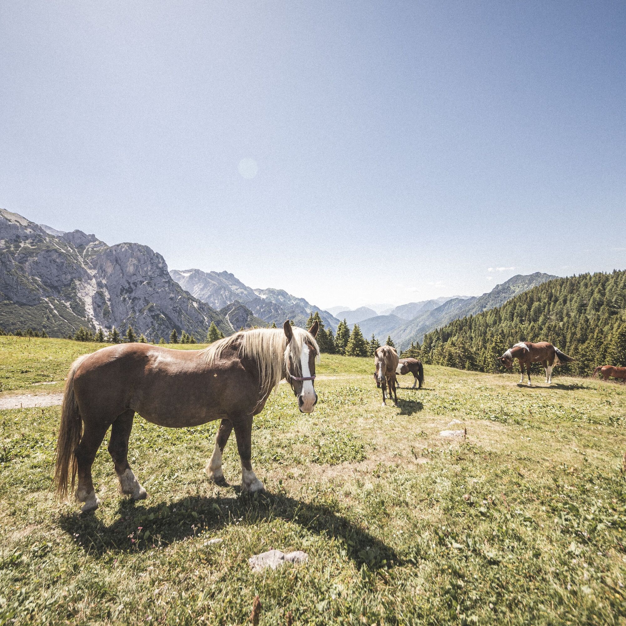
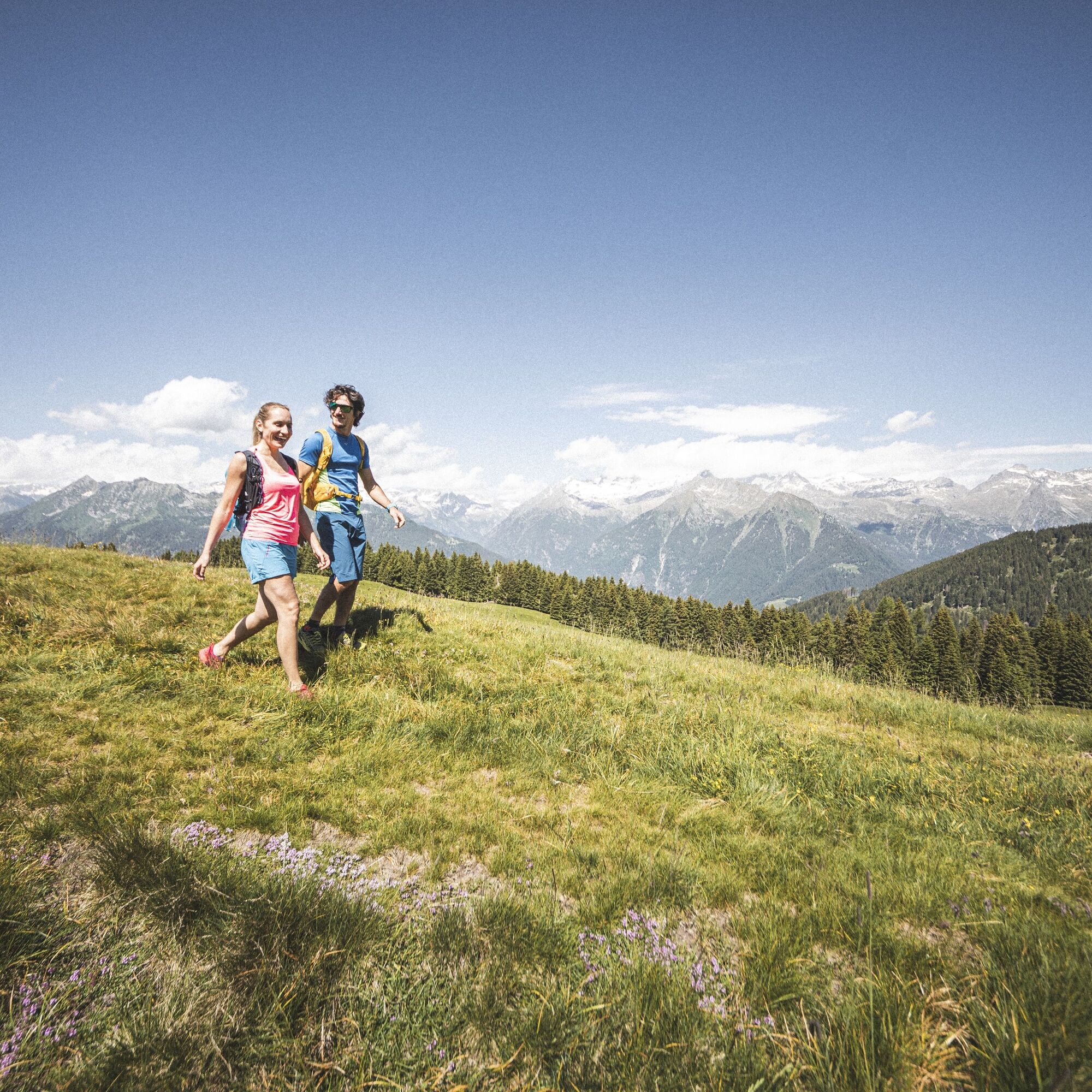
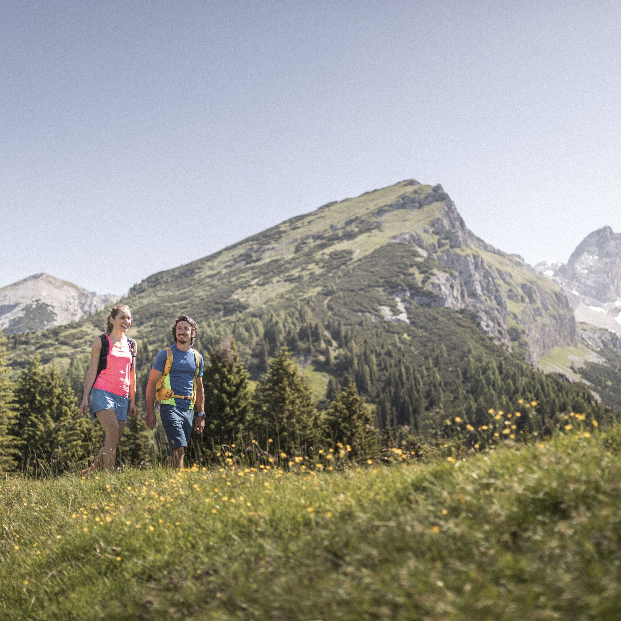
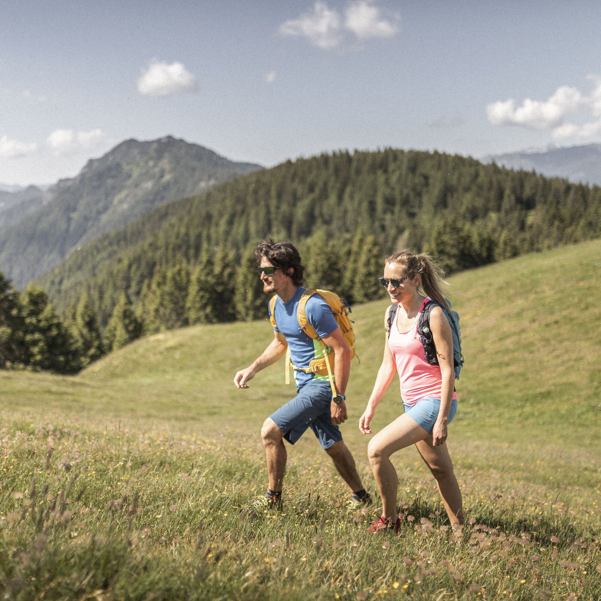
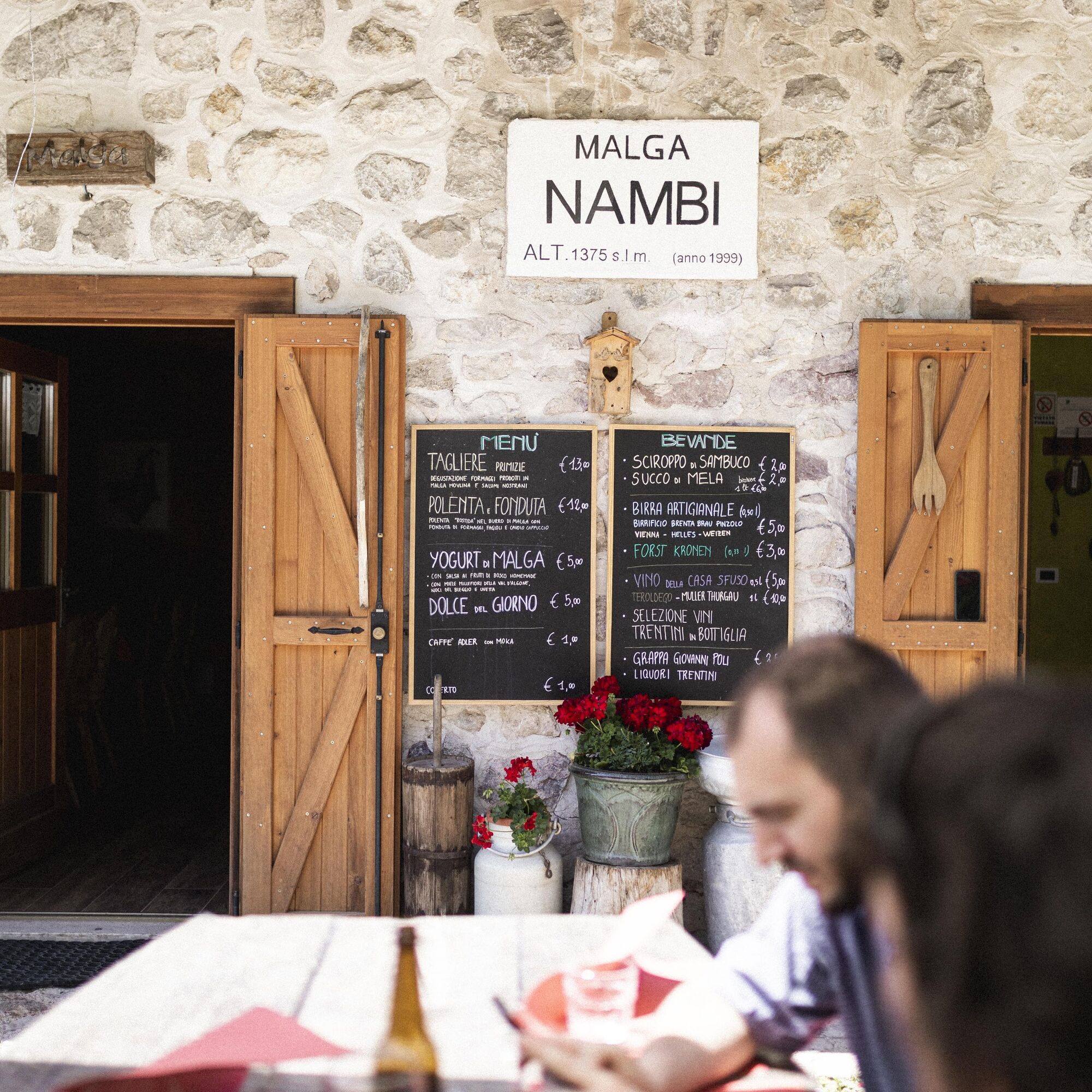
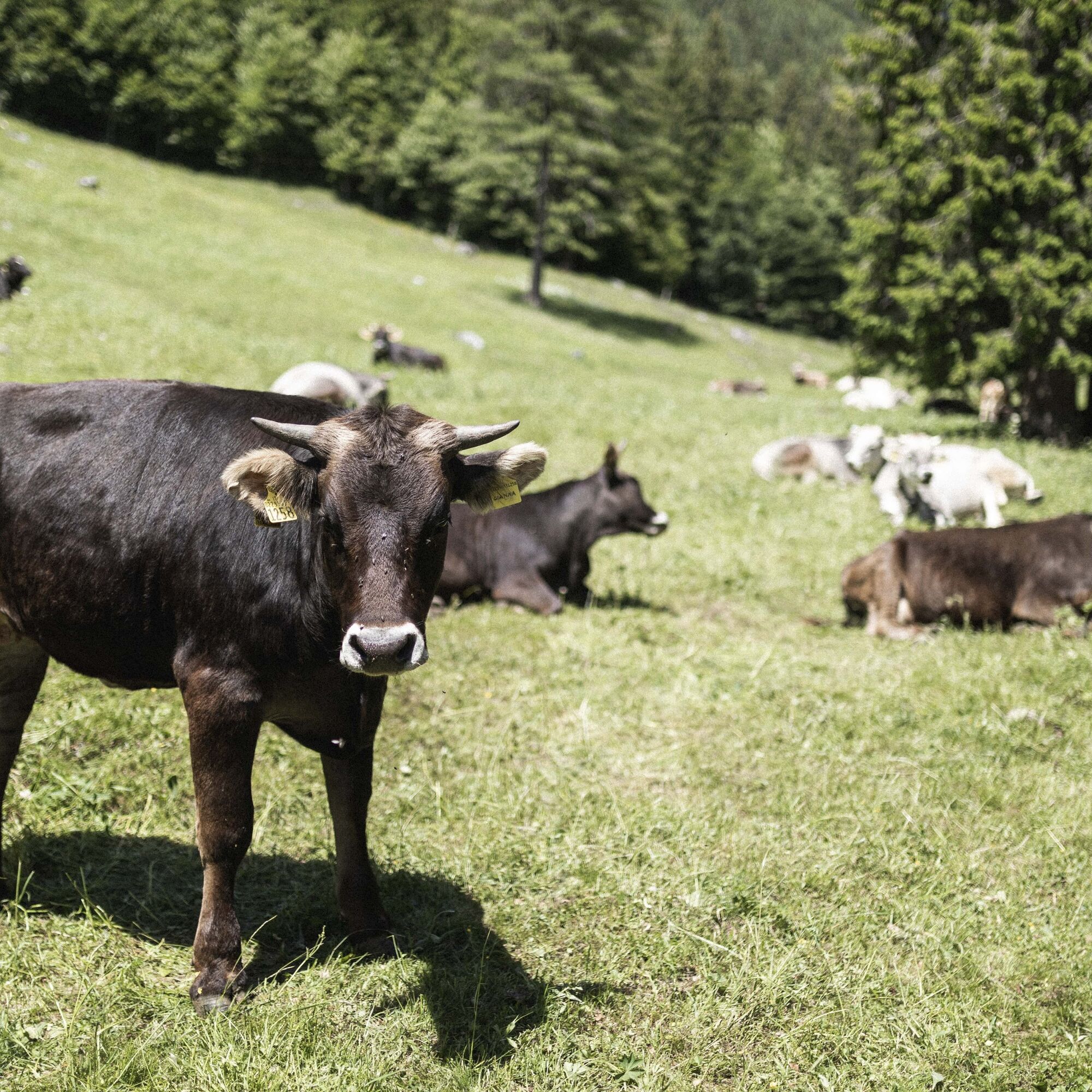

From Stenico drive through Val Algone all the way up to Albergo Brenta where the paved road ends. Leave the car at the carpark, take the uphill path on the right of the Hotel and enter the woods to reach the forest road. Turn right and continue along the forest road that runs through the woods bordering pastures, once harvested and now left as part of the woodland; as you climb you will pass the debris of a disused quarry where quartz was extracted and later used by the glass industry which thrived in the valley between 1800 and 1880, as evidenced by the glass factory ruins near Rifugio Ghedina. Pass the quarry and continue through the forest to reach the pastures around Malga Nambi dotted with enormous beech trees. During the grazing season the farmstead offers restaurant service and rooms for overnight staying. From the farmstead descend on the right along the main road that runs along the bottom of the valley. Shortly after the bridge over the Torrente Algone, enter the SAT 333 path on the right leading through Valle di Stenico to reach the pastures around Vallon, a former farmstead now used as a summer camp residence. Re-join the main road, where you can stop following the SAT signs and continue walking up the road, bearing left, for 150 metres until you reach a crossing signposted with a national park trail that runs along a rocky river bed. Cross the dried-up river bed and continue through the woods to exit onto the pastures of Malga Stabli, previously a site for spring and autumn grazing for the cattle of Malga Valagola, currently used as summer camp residence. After walking 200 metres into the fields, you will see on the right a small track that descends towards the river bed, crosses it over a bridge and continues to reach the old glass factory ruins near Rifugio Ghedina. Return to Malga Stabli along the same path you initially set off from. When you reach the pastures, continue bearing right and, shortly after the stables, turn left to join the Thun path of Parco Naturale Adamello Brenta. After winding through the woods for a while, the path leads to a road: turn left first and then right until you reach the main paved road that runs along the bottom of the valley. Walk up this road for 400 metres; just before entering the fields take the forest road, on the left, that rises through the woods heading north. Continue uphill following the borders with the fields until you re-join the path from which you set off at the beginning to return to the car.
Tak
Tak
You need to wear the right clothing and take the proper gear when you go hiking in the mountains. Even on relatively short easy outings make sure to take all you need so you don't run into trouble if things take an unexpected turn, for example a storm blows up or you have a sudden drop in energy levels.
What should you take when you go on a hike?
Your rucksack (for a day trip a 25/30L capacity should do) should contain:
water canteen (1L) snacks (e.g. mixed dried fruit or chocolate) First aid kit windproof jacket fleece change of t-shirt and socks (in a plastic bag) make sure to wear or at least bring a pair of long trousers hat sun screen sunglasses gloves whistle to attract attention in an emergencyMake sure you're wearing the right footwear for the trail and season. The going can get rough and rocky underfoot and a pair of hiking boots will protect you from sprains. When wet, a grassy slope, rocky slab or steep trail can be dangerous unless you are wearing the proper footwear.
And finally... don't forget to bring your camera! You'll need it to capture the stunning views you come across all over Garda Trentino. And if you like, you can share your memories with us at #GardaTrentino.
Emergency telephone number 112.
Safety Tips
Choose itineraries that suit your physical and technical abilities. Collect information about the area you are visiting and the trail’s conditions and get a detailed trekking map. Wear clothes and take equipment that suit the difficulty and length of your tour. Keep emergency gear in your rucksack, including first aid supplies. Do not go walking alone in the mountains. In any case, tell someone where you are going and report back on returning. Look at the weather forecast before setting off and always keep an eye on the weather. In case of doubt, go back. It is better to give up than risk bad weather or face difficulties beyond your strength, ability and equipment. Do not leave marked paths and do not take shortcuts. All described walks are in a natural environment and therefore their use is at your own risk.This information is subject to inevitable variations, so none of these indications are absolute. It is not entirely possible to avoid giving inexact or imprecise information, given how quickly environmental and weather conditions can change. For this reason, we decline any responsibility for changes which the user may encounter. In any case, it is advisable to check environment and weather conditions before setting out.
From Ponte Arche/Comano Terme go towards Stenico; stay on the SP that goes in the direction of Ragoli until you reach the junction with Val d'Algone. After 7 km you will arrive at Hotel Brenta.
Find out how to reach Garda Trentino.
Free parking lots near Hotel Brenta.
For more information on routes, services (guides, mountain huts, shops etc.) and hiking friendly accommodation: Garda Trentino - +39 0464 554444
Uzyskaj wgląd Zawsze na żywo z ponad 9 500 kamer internetowych. bergfex Jako użytkownik Pro, możesz teraz zobaczyć odpowiednie kamery internetowe dla wielu wycieczek w aplikacji wycieczki od. Pozwala to na bezpośredni podgląd aktualnych warunków. Popularne wycieczki w okolicy
- 4,2
Malga Movlina and Rifugio XII Apostoli
średniWędrówka 11,5 km - 5,0
Via Ferrata Rino Pisetta - Dain Piccolo
ciężkiVia ferrata 5,89 km - 3,5
Rifugio Selvata
średniWędrówka 12,1 km - 5,0
Val Ambiéz: walking in the Brenta Dolomites
ciężkiWędrówka 18,1 km - 4,8
San Lorenzo Dorsino - Ponte Romano - Molveno
światłoWędrówka 10,6 km Via Ferrata Che Guevara - Monte Casale
ciężkiVia ferrata 14,7 km- 4,0
Monte Casale
średniWędrówka 11,7 km - 5,0
Caderzone Terme - Malga Campastril - Rifugio San Giuliano - Chiesa di San Giuliano
średniWędrówka 10,8 km - 4,5
Molveno - Ponte Romano - Parco giochi
światłoBieganie 11,4 km Monte Casale Trail-Tour
ciężkiMountainbike 43,9 km
Wędrówki i tropienie


Nie przegap ofert i inspiracji na następne wakacje
Twój adres e-mail została dodana do listy mailingowej.





