




Moena - Alpe Lusia - Colvere and Fango Trenches


From "Ronchi" ("I Ronc") take the first section of the "Lusia" cabin lift ("Valbona") and then follow the tranquil path which begins in descent and then flattens out to reach the La Rezila Refuge. You...
From "Ronchi" ("I Ronc") take the first section of the "Lusia" cabin lift ("Valbona") and then follow the tranquil path which begins in descent and then flattens out to reach the La Rezila Refuge. You then need to walk uphill behind the building following the fence. You will reach a building and a fork. The forest road, to the right, leads to Lusia Pass, while you must take path no. 625 that crosses the stream which comes down from the pass. You will come to "Colvere". Keep going along the peaceful forest road, without taking the fork for "Sforcela de Lujia" (path no. 634) and "Gronton" (path no. 634/A). Slightly further on, however, you should turn off the road to the right and cross the valley bottom and go up the opposite side. Zigzag through the rocks going downhill to the right. There is a steep stretch where the path becomes very narrow at the feet of the "Ciadinon". Next you will come to a cross-roads. To the right the path goes up to the "Gronton" and the "Sforcela de Lujia", and to the left the path goes steeply down to the San Pellegrino Valley. Keep going straight on and cross the "Ciadinon" stream. After this the going is slightly in descent through huge firs and small clearings. There are a few stone steps, then go slightly uphill to the right, after which you will come to an area of recently felled trees. Cross the clearing and walk gradually through the steep forest of larch, fir and mountain ash, and gullies, which are almost vertical. Shortly after this the forest becomes very dense. The path winds down through WW1 trenches and fortifications, and after a clearing you will come out onto the forest road coming from "Ronchi".

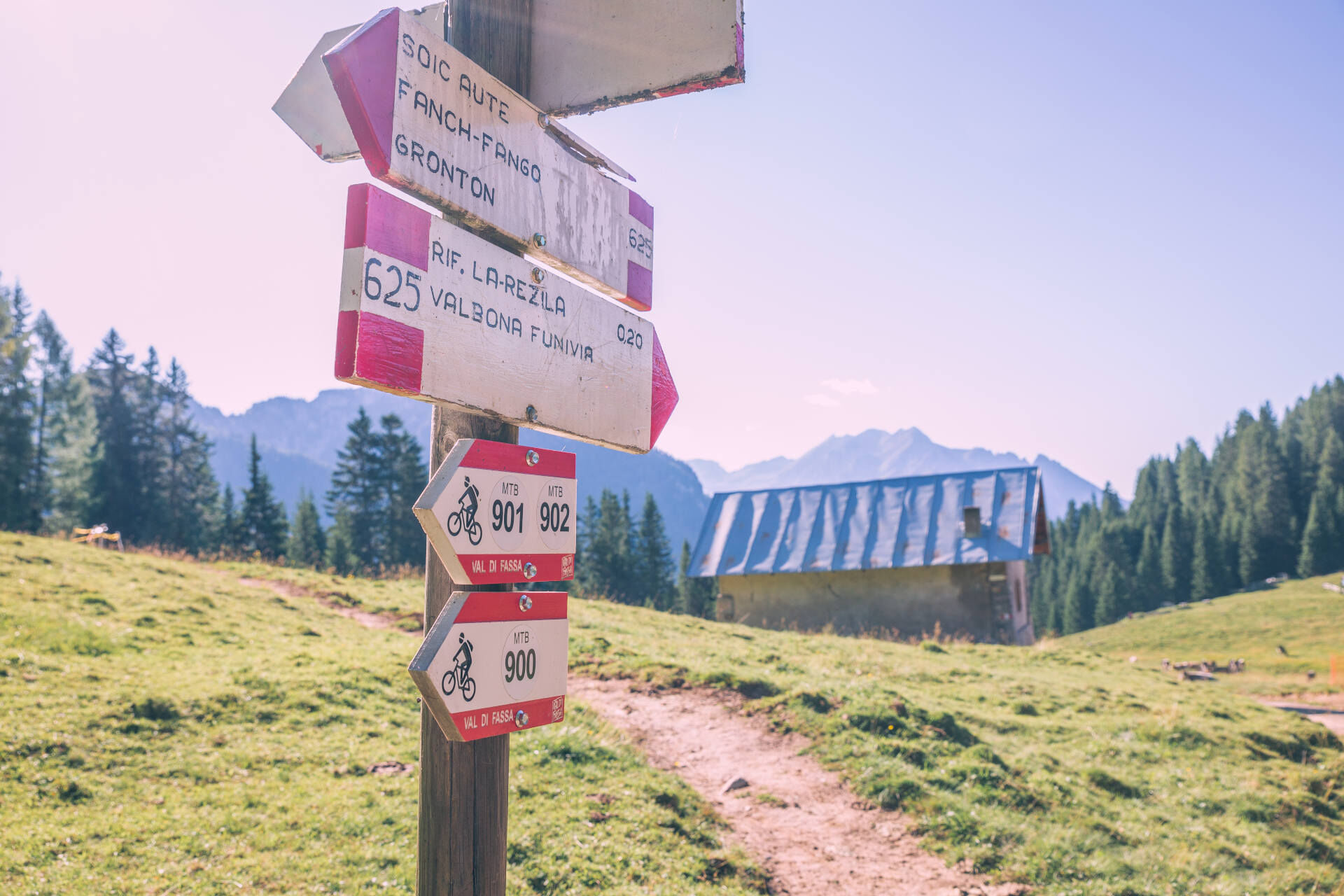
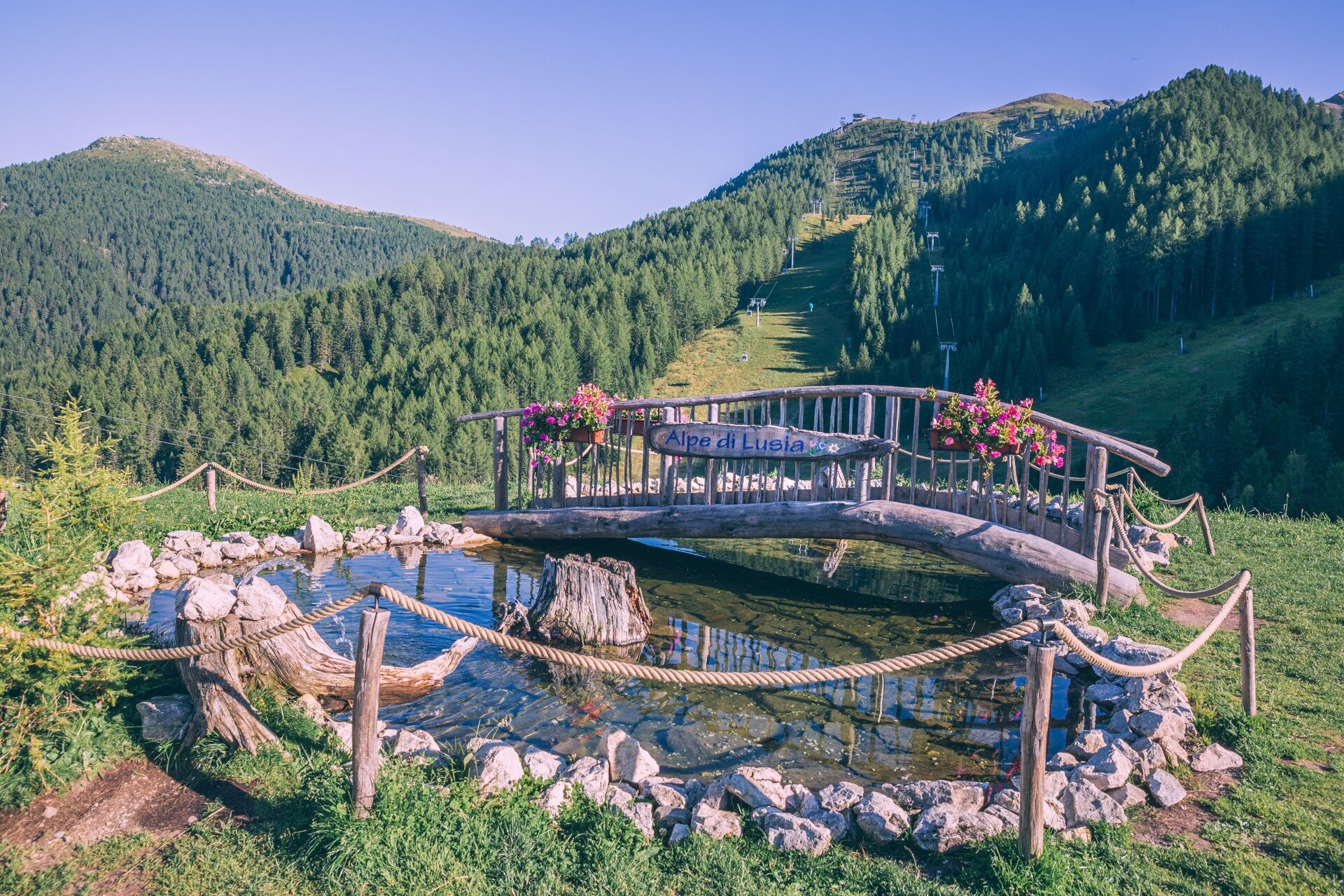
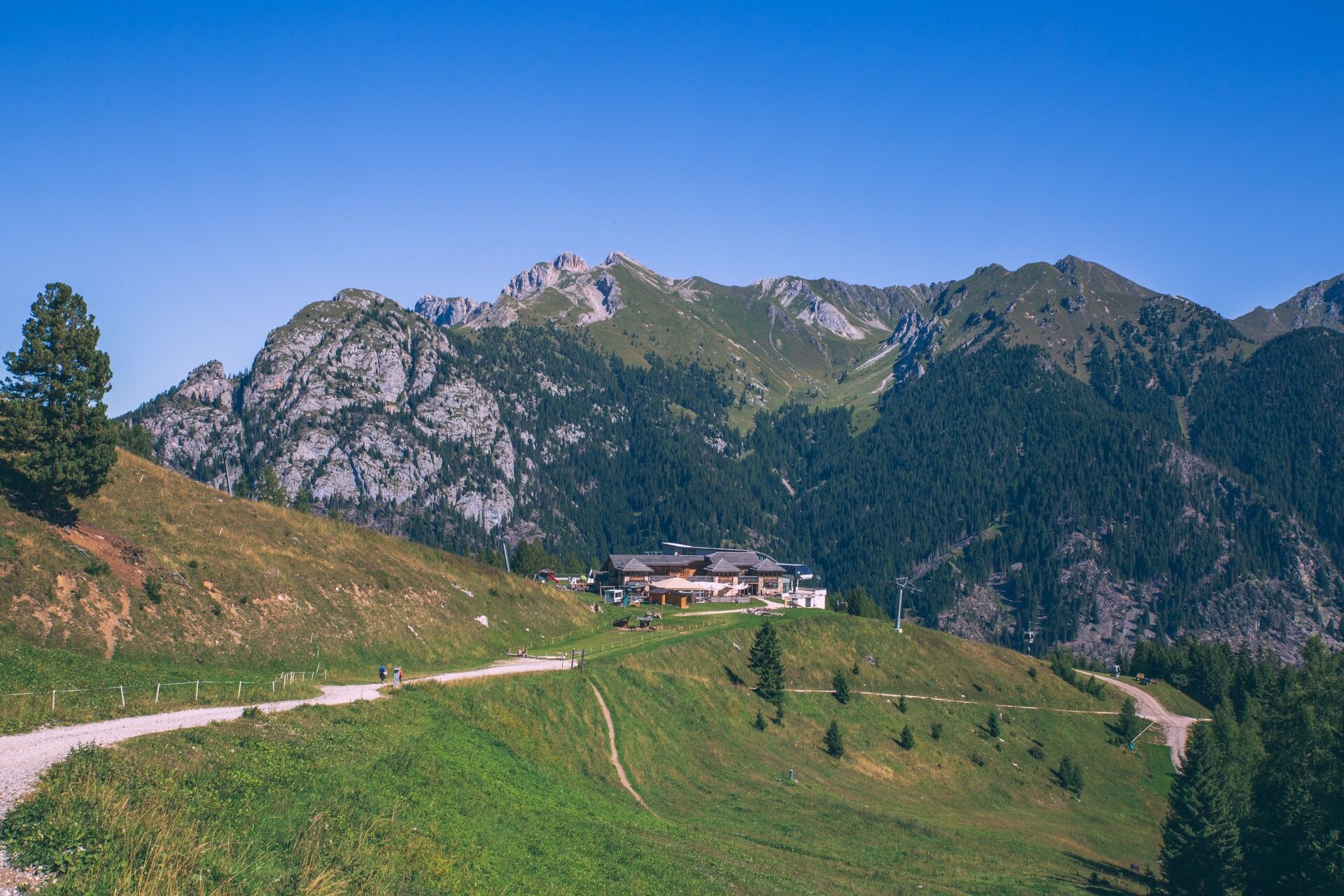
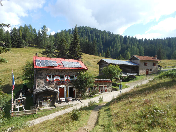
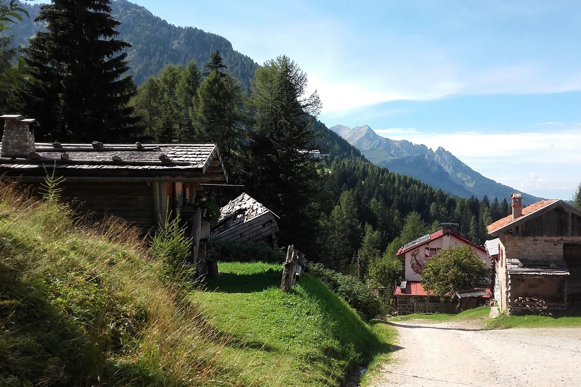
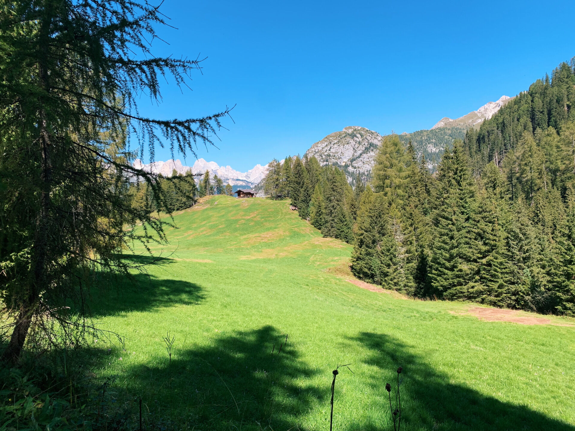
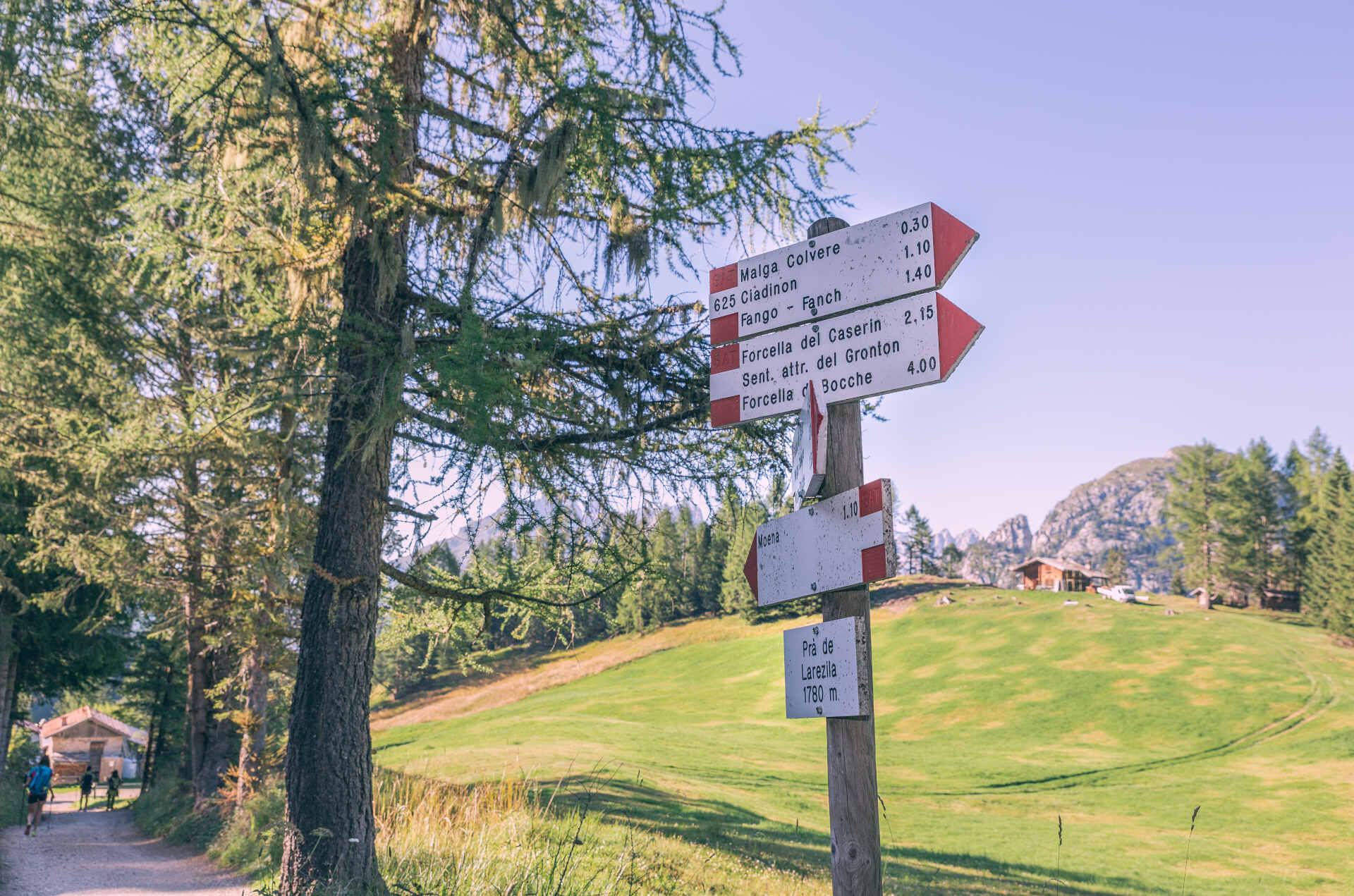
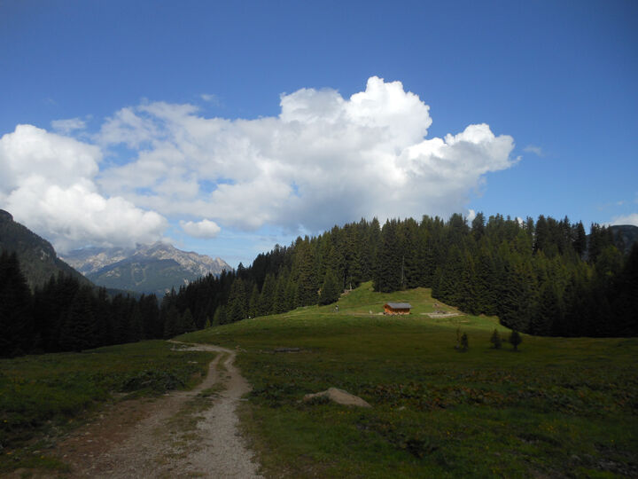
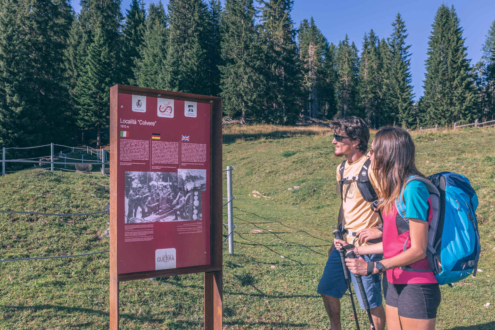
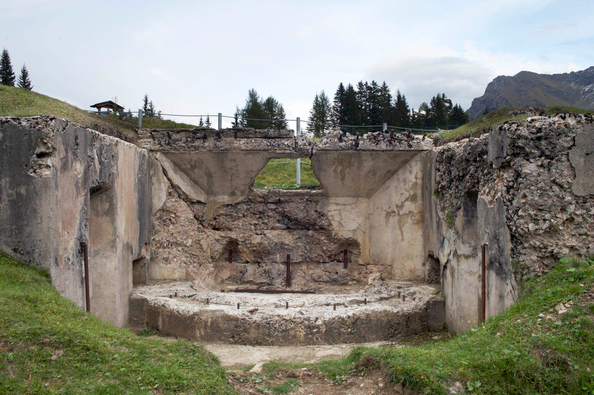
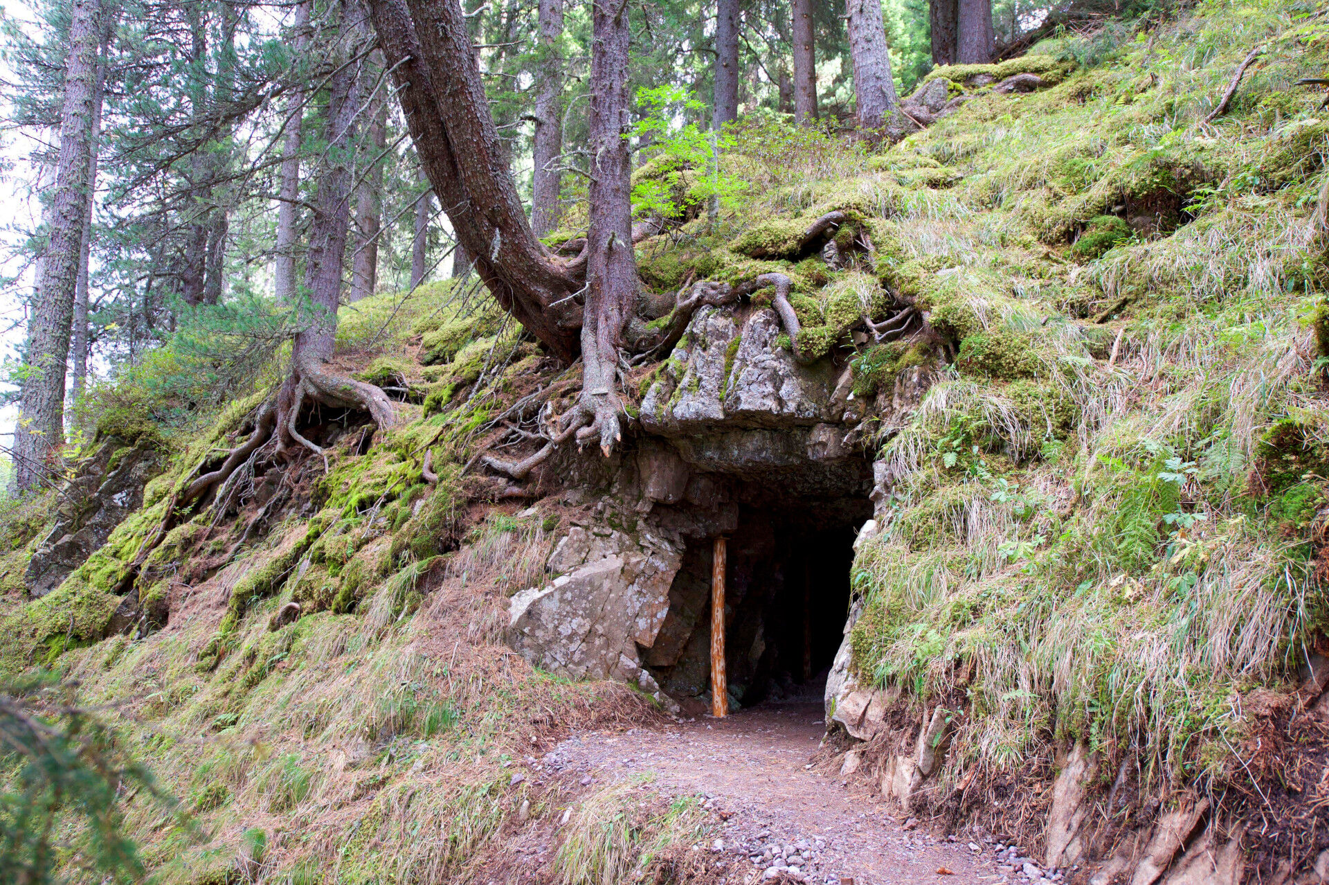
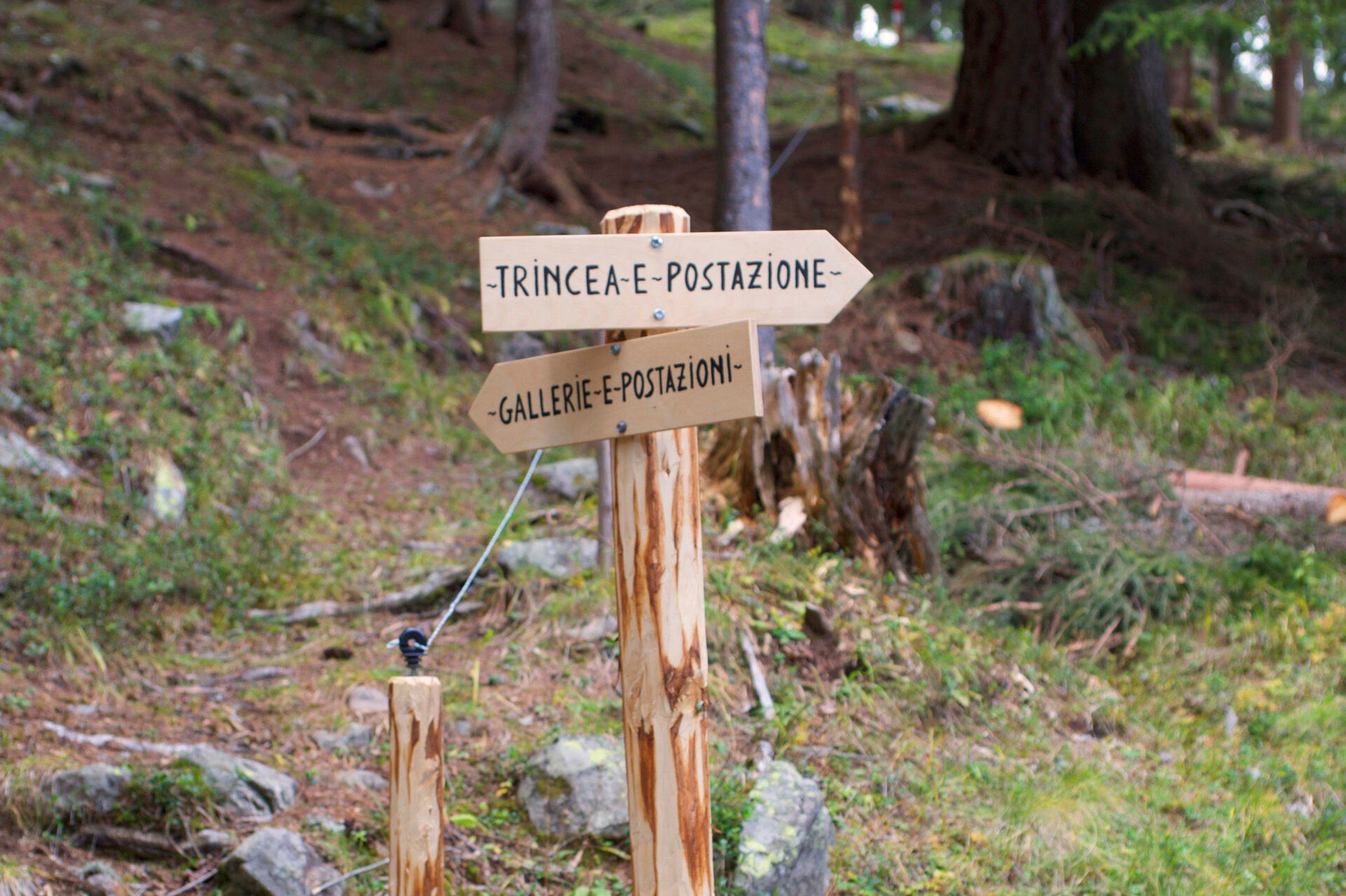

From the picnic area at "Fango" you return to "Ronchi" by following the forest road that runs parallel to the stream. Once you get to the bridge over the San Pellegrino stream cross over and take the sealed road on the left and in about 15 minutes you get to the valley station of the "Lusia" cableway.
Tak
Wear adequate clothing, footwear and equipment suitable for the length and grade of difficulty of trail to be taken. Always try to be self-sufficient and carry with you the necessary to face possible emergency situations and a first aid kit.
Plan your excursion according to your skills and the weather.
Walk slowly, enjoy the landscape and the silence.
Inform somebody about your itinerary, return time and possible changes.
Rely on professionals (Alpine and local guides).
Help those in need. Call 112 only in case of real necessity.
Make sure you have suitable clothes and equipment + some water and snacks.
Respect the environment around you and its inhabitants. Bring back your rubbish.
Follow the marked trails avoiding those in the bike park.
To protect the wonders of nature, leave everything in its place.
Bring your pet along, but keep it on a leash.
Other accesses to the Val di Fassa
from the A27 (Venice) motorway, exit Belluno/Ponte nelle Alpi, S.S. 203 for Agordo and S.P. 346 Passo San Pellegrino - Moena (Val di Fassa). From the Moena bypass towards Canazei from the A27 (Venice) motorway, exit Belluno/Ponte nelle Alpi, S.S. 203 for Agordo/Alleghe/Rocca Pietore. S.P. 641 Passo Fedaia - Canazei coming from Arabba, S.S. 48 Passo Pordoi - Canazei from Val Gardena, S.S. 242 Passo Sella - CanazeiPublic transport lines SAD - Val di Fassa:â¯
line no. 180 Vigo di Fassa - Carezza Pass - Bolzano line no. 471 Dolomites passes (Sella Pass, Gardena Pass, Campolongo Pass, Pordoi Pass, Fedaia Pass). Service available in summer onlyFree parking at the valley station of the cabin lift.
Strèda Roma, 36
38032 Canazei (TN)
Phone +39 0462 609500
info@fassa.com
www.fassa.com
It is possible to visit the entrenched First World War camp at "Fango".

Kamery internetowe z trasy

Popularne wycieczki w okolicy
-
4,9
Torre di Pisa mountain hut
średniWędrówka 9,09 km -
4,8
Santnerpass Klettersteig
średniVia ferrata 8,29 km -
4,8
Passo Costalunga - Sella del Ciampaz
średniWędrówka 8,35 km -
5,0
Ciampedie - Gardeccia - Refuges Vajolet and Preuss - Refuge Re Alberto I - Gardeccia - Ciampedie
ciężkiWędrówka 11,8 km -
4,6
Kölner Hütte - Hirzelsteig - Rotwandhütte - Baita Tre - Karerpass
średniWędrówka 9,56 km -
5,0
Ciampedie - Gardeccia - Principe Pass - Antermoia Refuge - Val Duron - Campitello
ciężkiWędrówka 18,7 km -
5,0
Rosengarten: Cigoladepass und Fassaner Höhenweg
średniWędrówka 15,6 km -
4,5
Cavallazza Peak
średniWędrówka 7,82 km -
4,7
Stage 1 Dolomiti Trek King in autumn - Catinaccio
ciężkiWędrówka 15,3 km -
4,5
San Pellegrino Pass - Fuciade - Val Fredda - Malga Boer - San Pellegrino Pass
średniWędrówka 11,1 km
Wędrówki i tropienie


Nie przegap ofert i inspiracji na następne wakacje
Twój adres e-mail została dodana do listy mailingowej.


