






Cima Viezzena
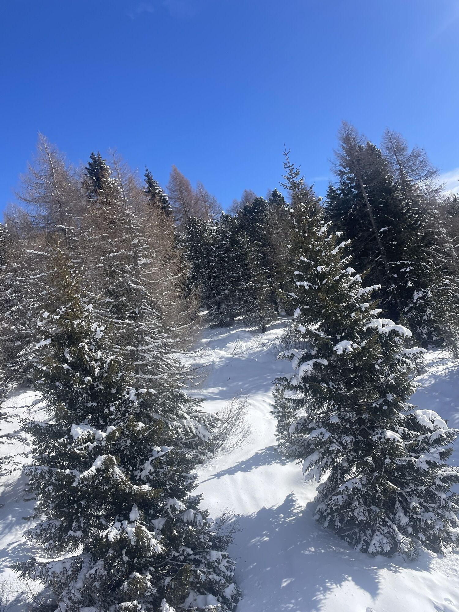
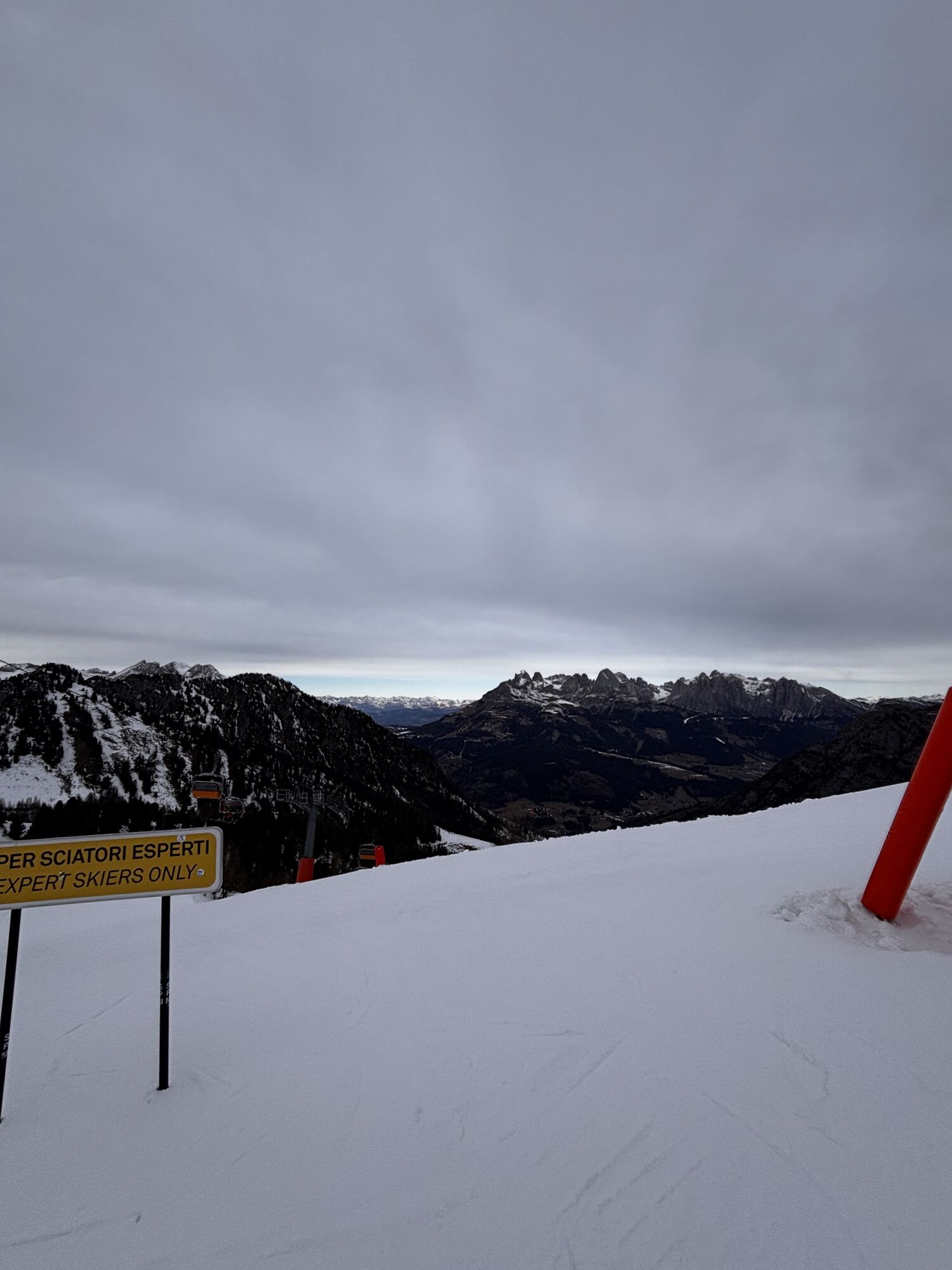
Leaving the Bellamonte 3.0 gondola behind, we take the wide dirt road that climbs steadily and gently to Passo Lusia, where we meet the refuge of the same name. This first stretch is usually very beaten,...
Leaving the Bellamonte 3.0 gondola behind, we take the wide dirt road that climbs steadily and gently to Passo Lusia, where we meet the refuge of the same name. This first stretch is usually very beaten, unlike what follows. The steep section after the mountain station of the lifts ascending from Moena leads into a wilder mountain environment, where silence is only interrupted by the chirping of birds and the sound of the wind.

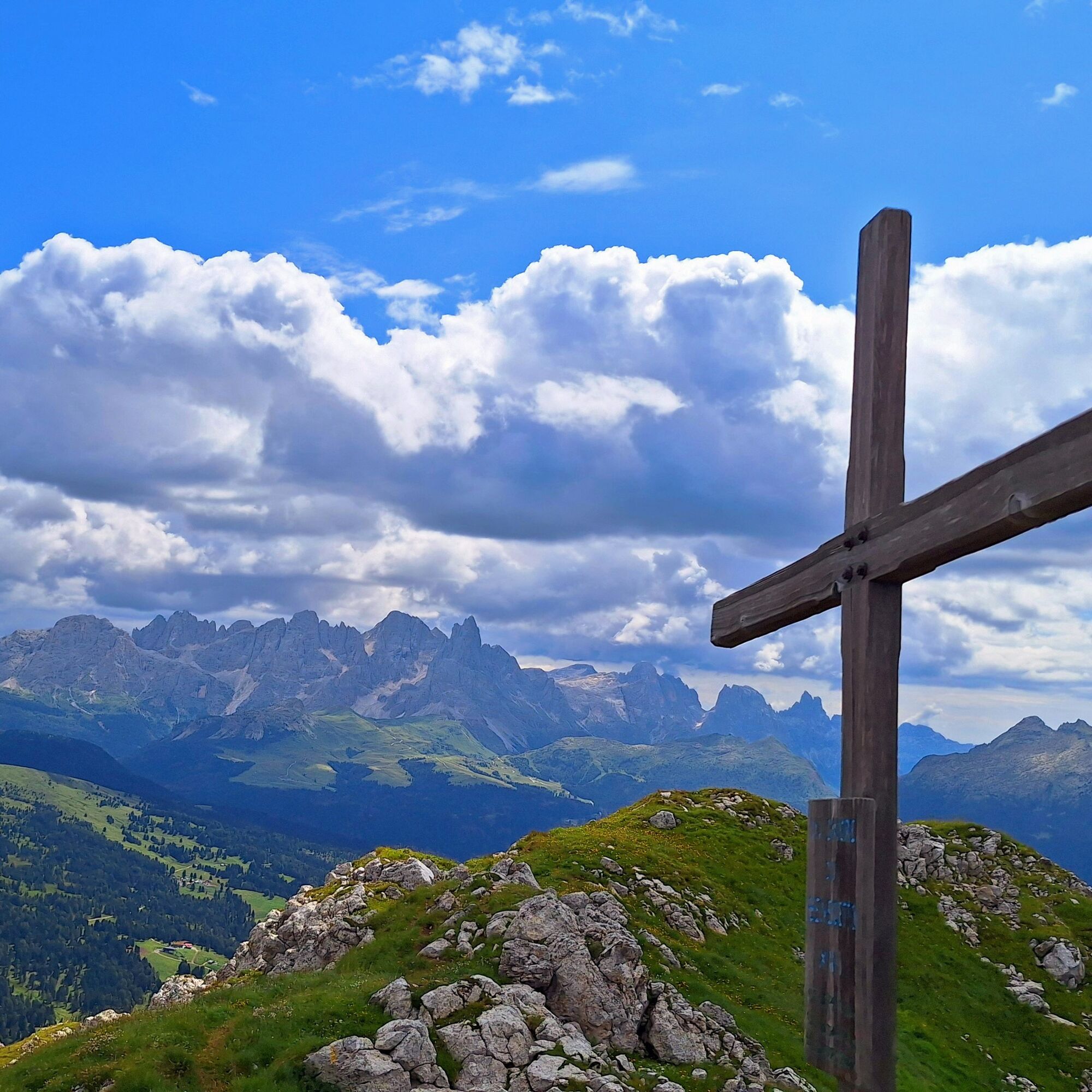
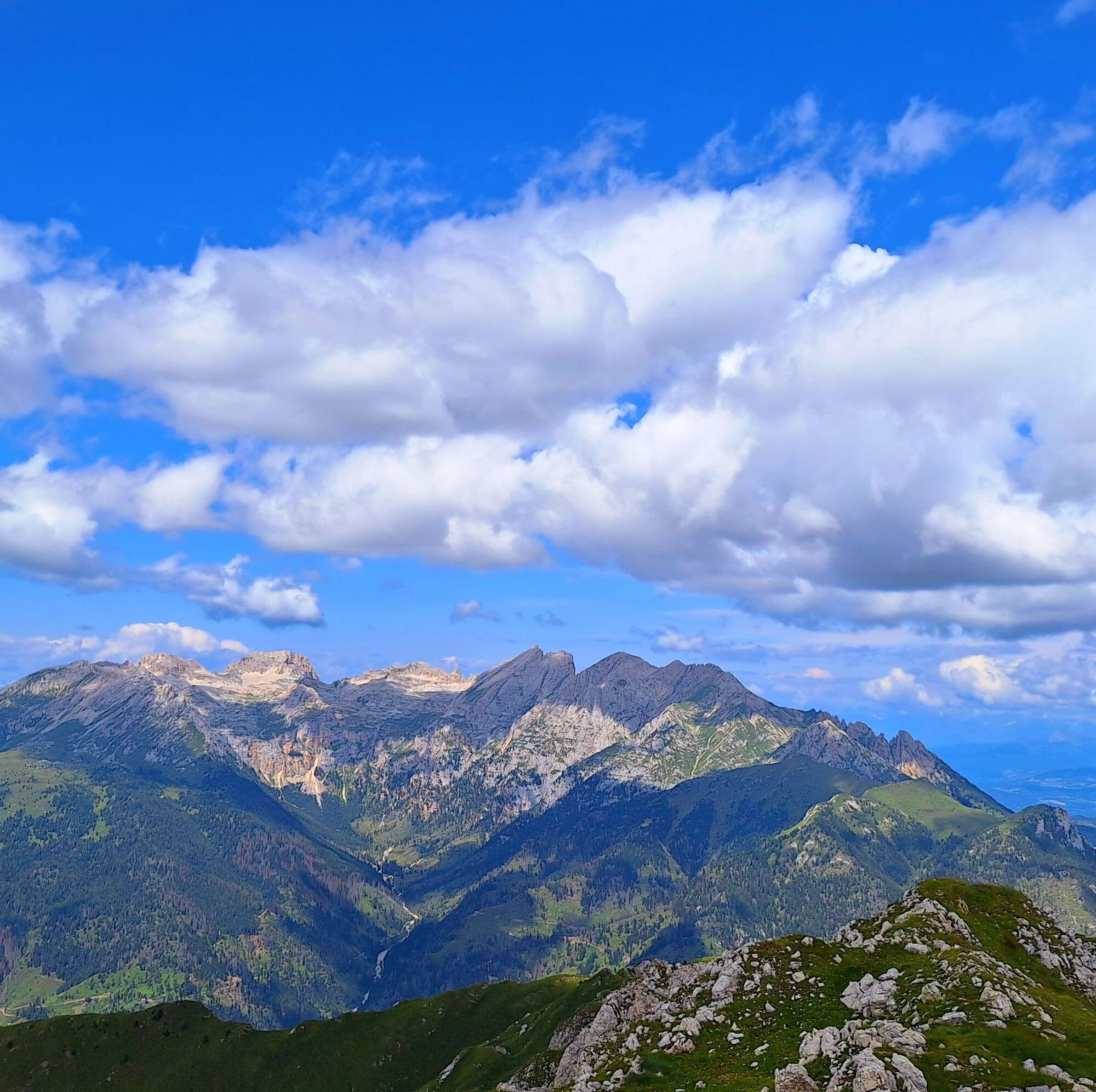
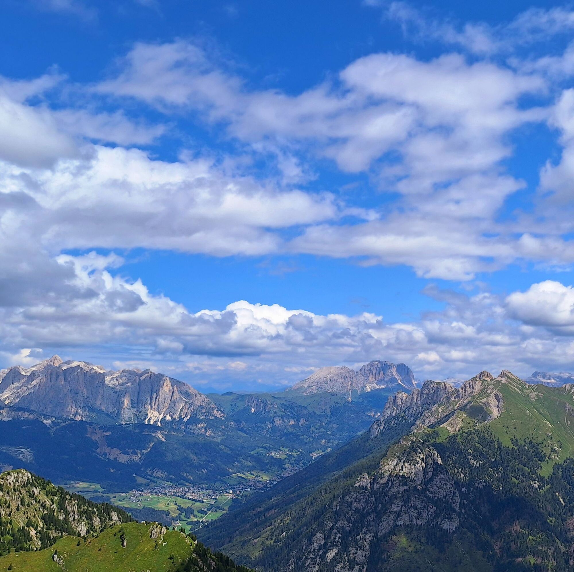
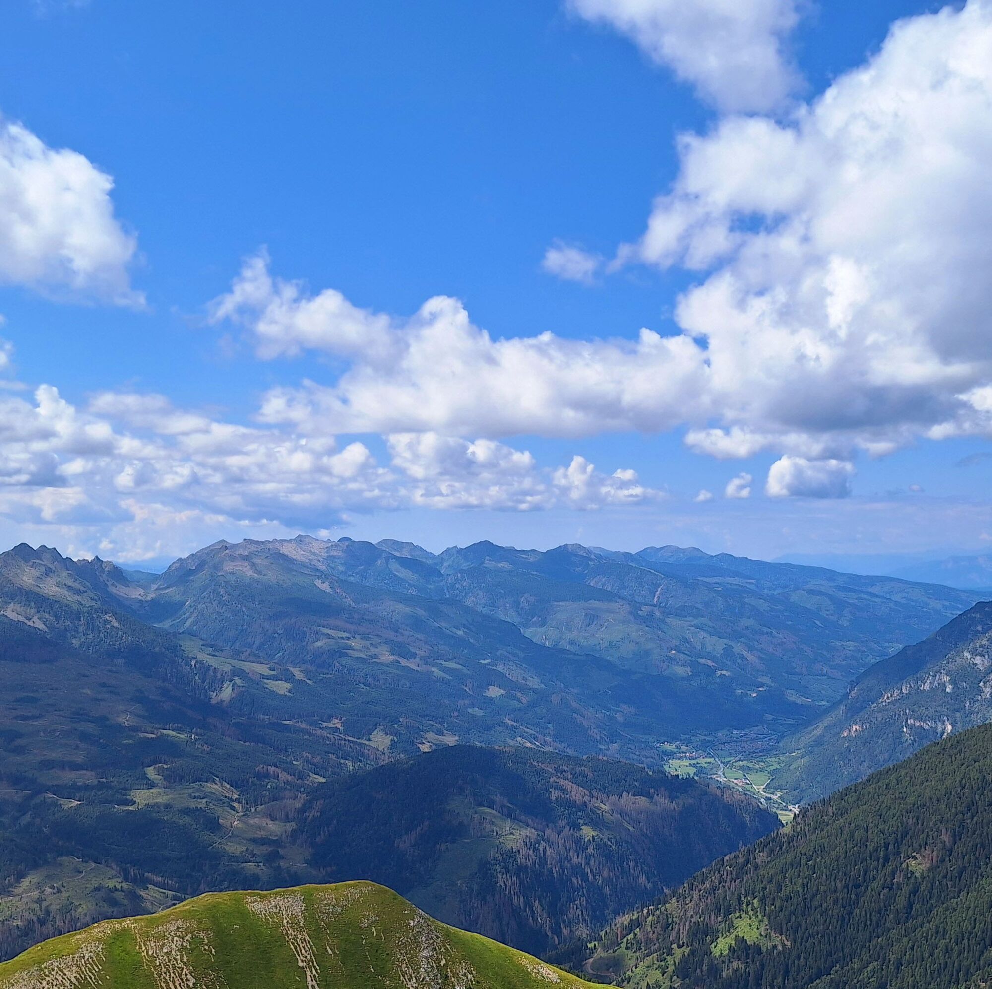
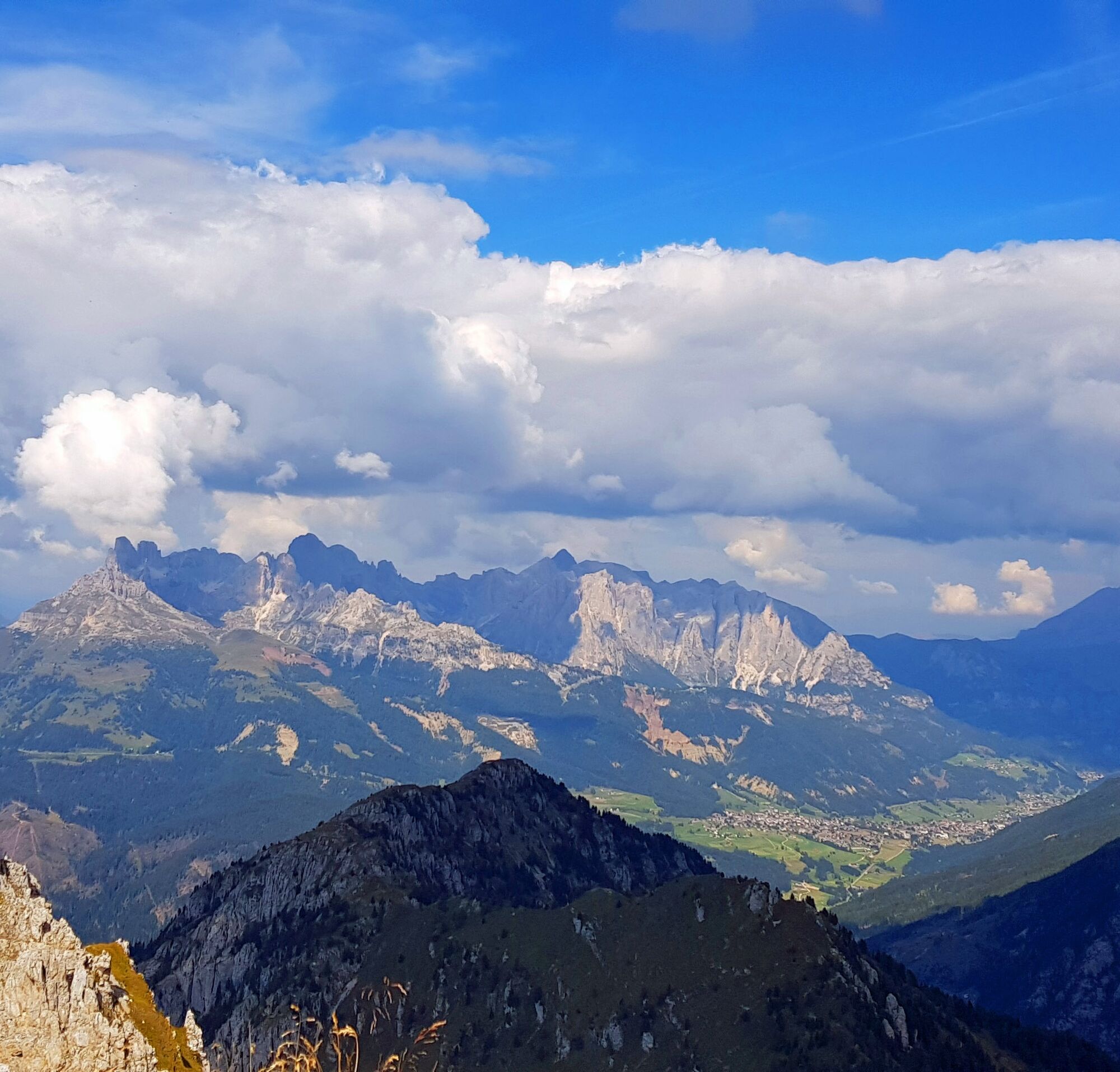
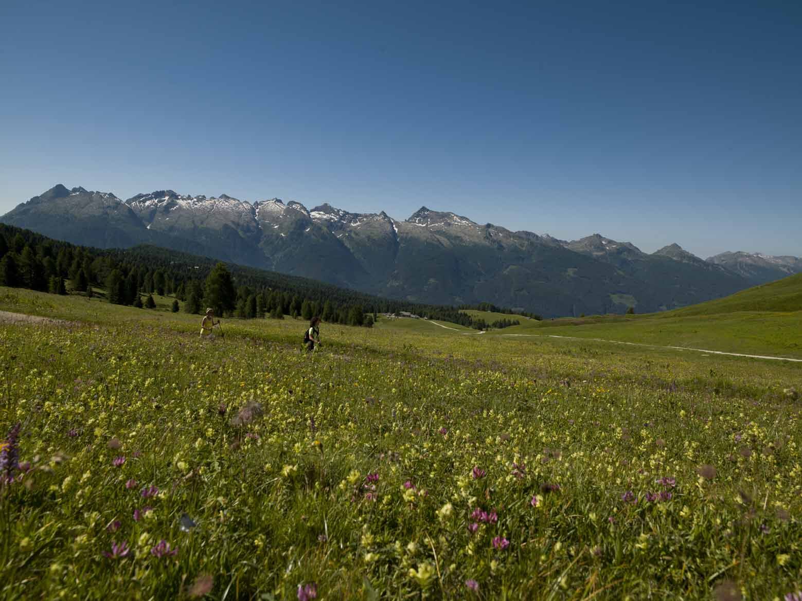
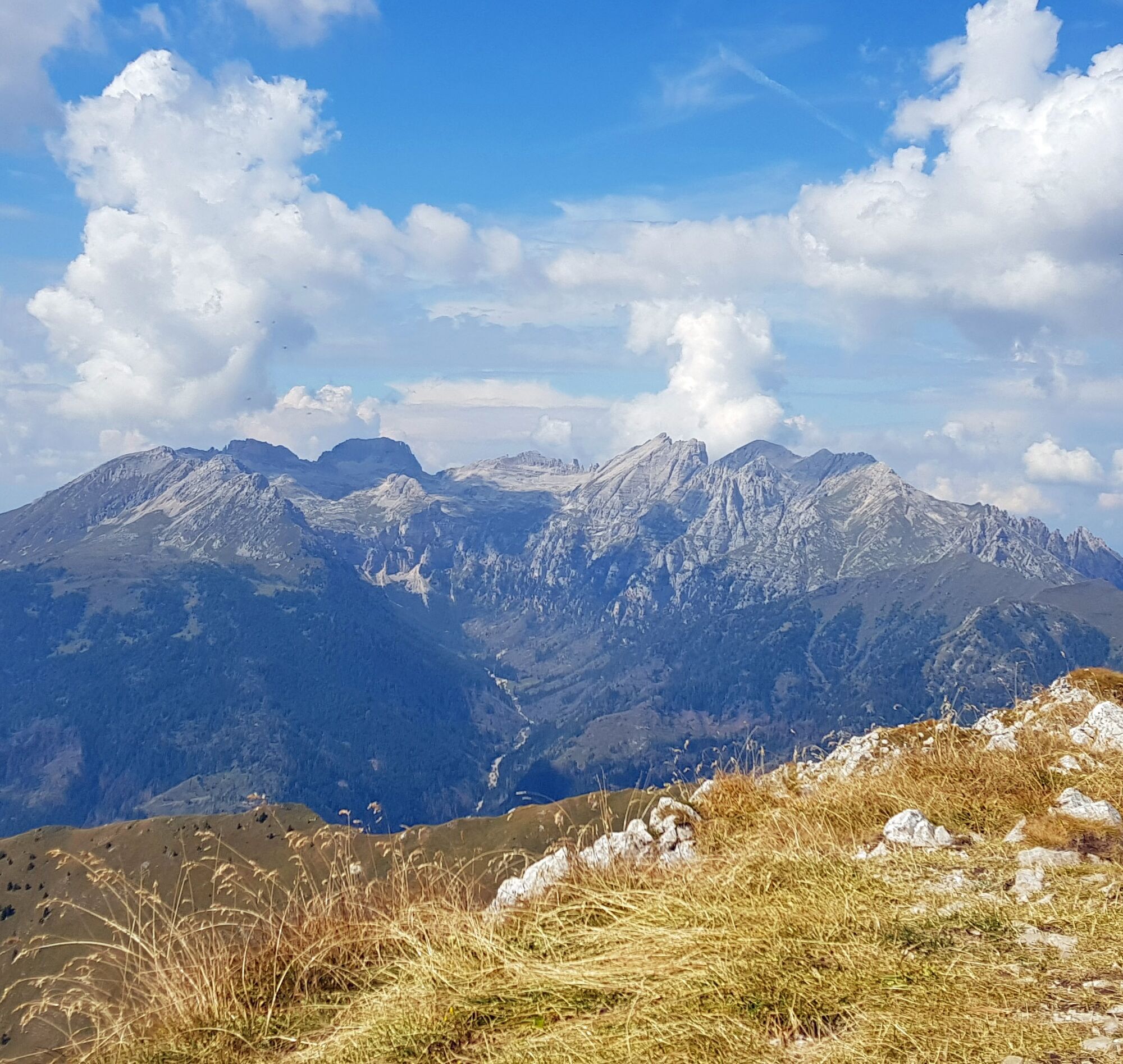
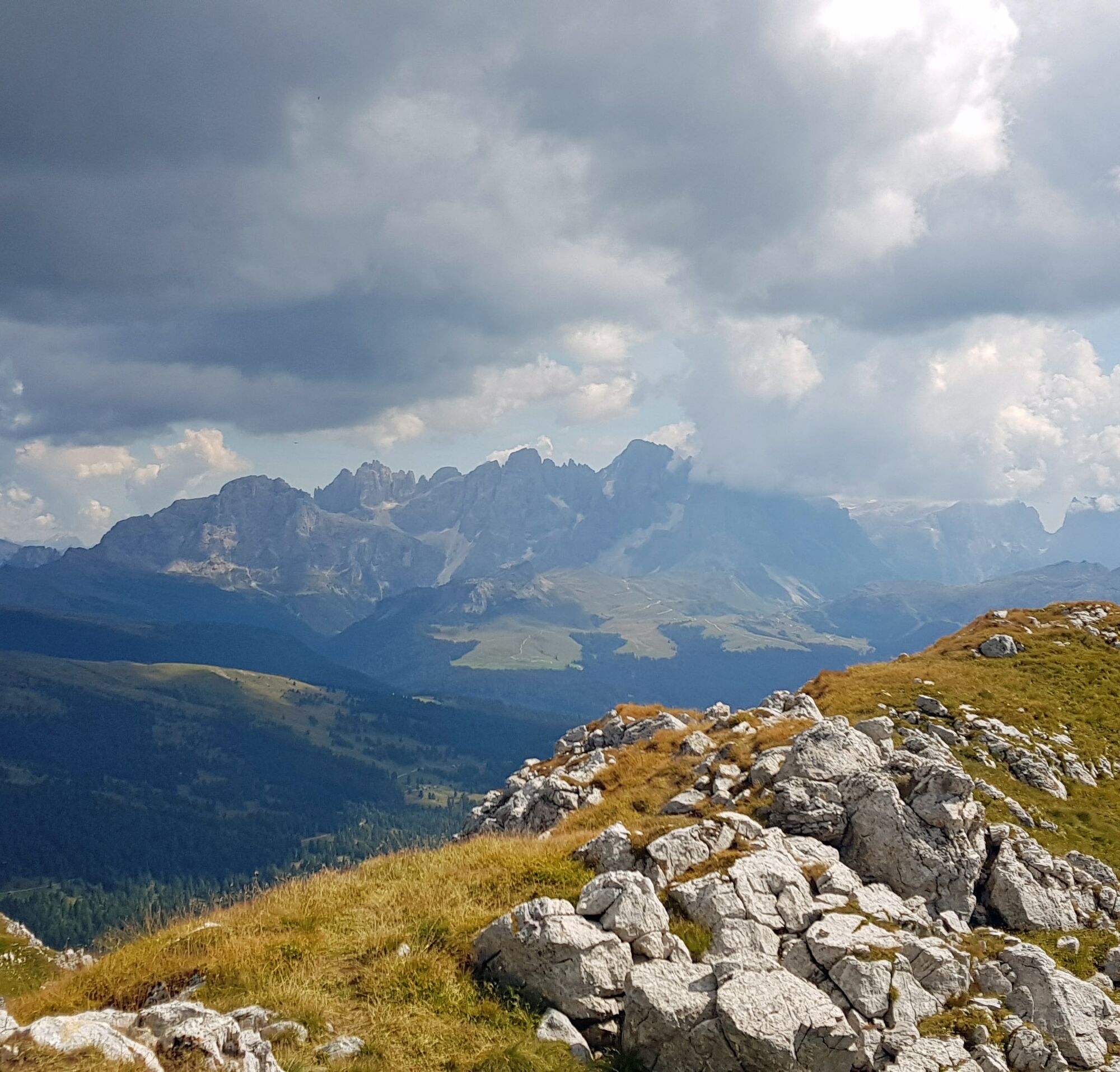
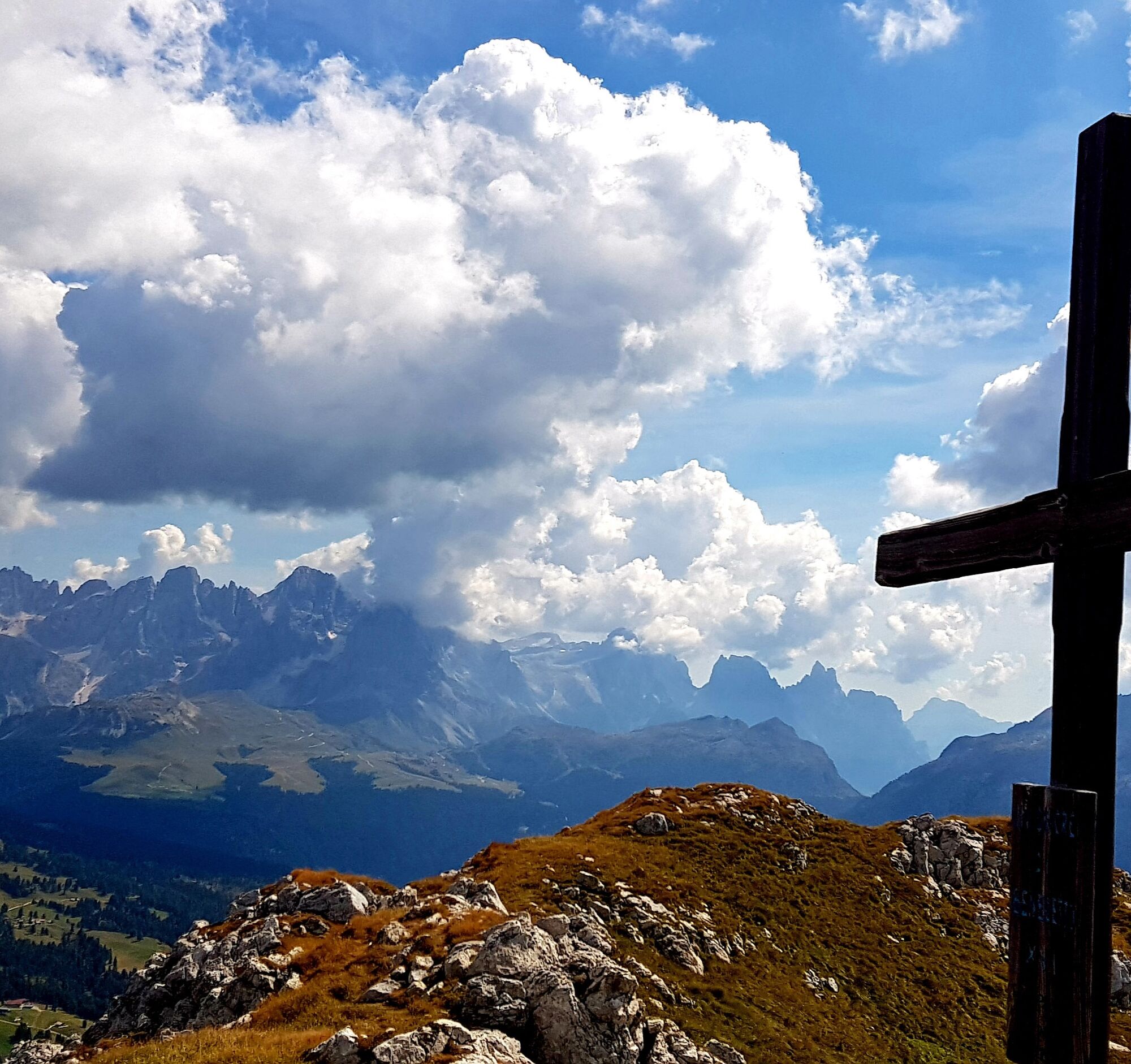
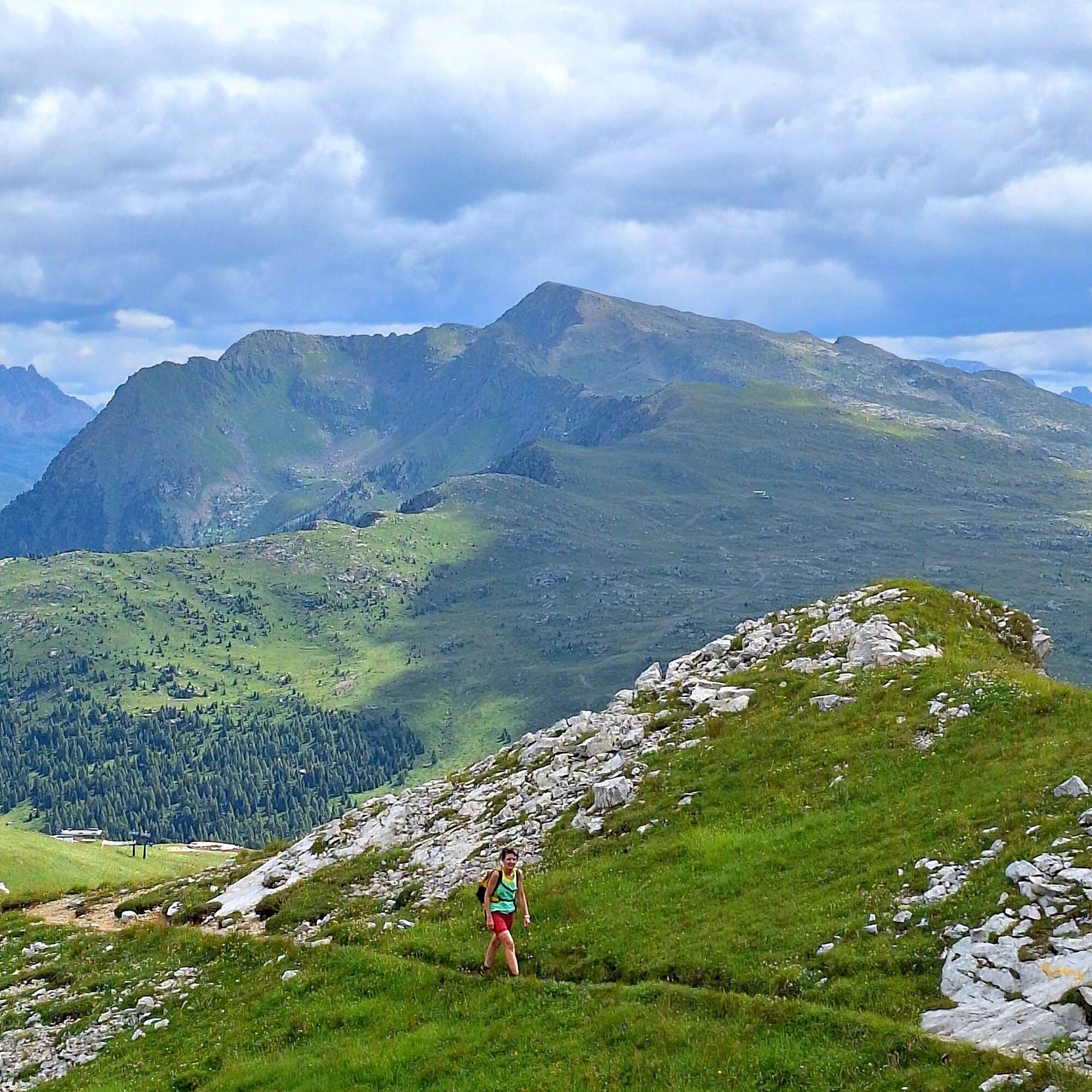
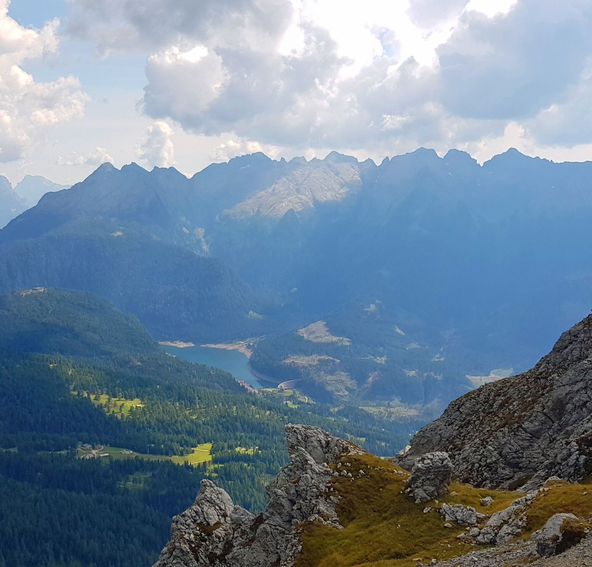

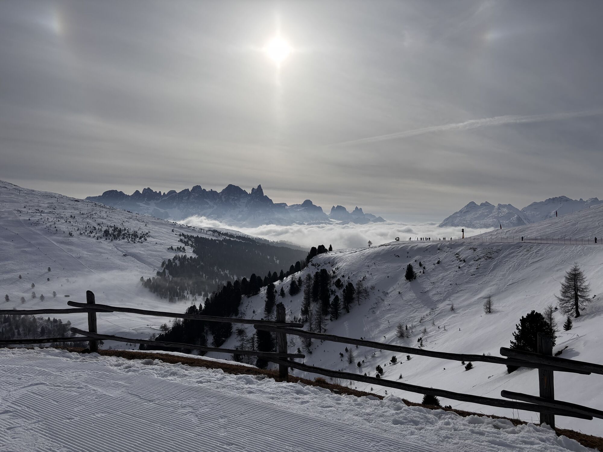
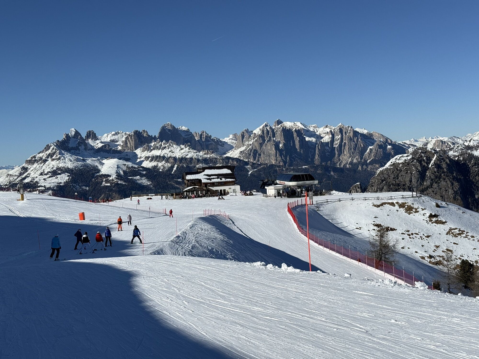
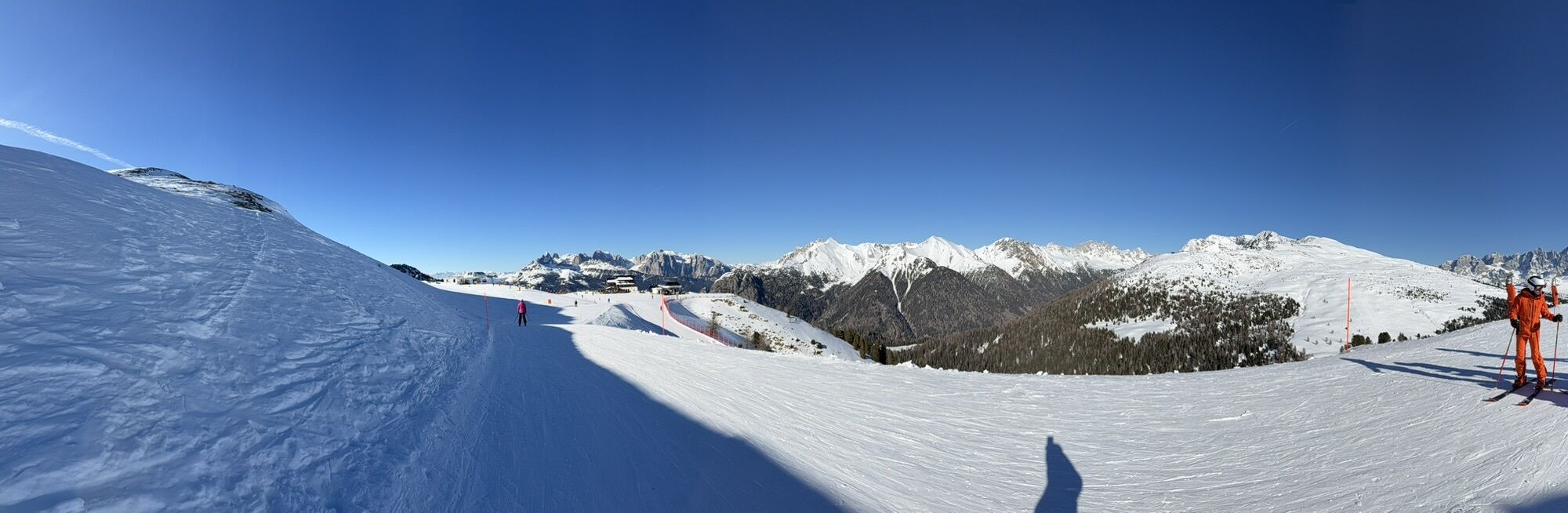
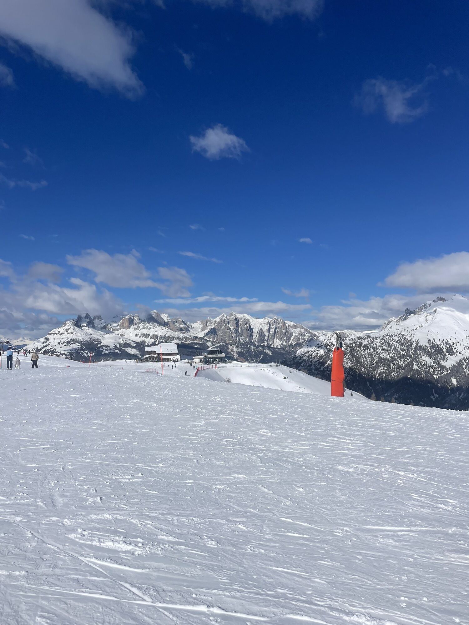
After ascending with the Bellamonte 3.0 cableway, take the little path which, in few minutes, reaches the forest road. Here you continue in the direction of Passo Lusia (trail No. 623), climbing steadily and moderately uphill through green pastures full of flowers and several small wooden huts. When you reach Passo Lusia, you have to tackle the steep dirt road that leads to Le Cune, at the arrival point of the ski lifts from Moena. From the summit of this hump (Piavac 2,272 metres), the unnumbered path is clearly outlined, running along the ridge in a south-westerly direction until reaching Cima Viezzena. This apparently insignificant peak reveals a magnificent 360° panorama.
The return is along the same route as the outward journey.
Tak
Tak
Hiking shoes, rain-jacket, hiking poles, water, sun cream
THE 10 RULES FOR HIKERS
Prepare your itinerary beforehand Choose an itinerary that suits your physical abilities Choose suitable clothes and equipment Check the weather forecast Hiking by yourself is more risky; if this is the case, take a mobile phone with you Leave information about your itinerary and your expected return time If you are not sure about your itinerary, contact an Alpine Guide Pay attention to signposts and directions that you find along your way Do not hesitate in going back if you feel too tired In case of emergency call 112Please note that the practicability of the itineraries in a mountain environment is strictly linked to the contingent conditions and is therefore influenced by natural phenomena, environmental changes and weather conditions. For this reason, the information contained in this page may have changed. Before leaving for a tour, make sure the path you will approach is still accessible by contacting the owner of the mountain hut, the alpine guides or the visitor centres of the nature parks, the info offices of the local tourist board.
From Predazzo take the road to Passo Rolle. After the village of Bellamonte turn left, direction lifts of Castelir.
Public buses leave from Predazzo station direction Bellamonte and Castelir.
Parking possibility at the lift departure.
APT Val di Fiemme - Tel. +39 0462 241111 - info@visitfiemme.it - www.visitfiemme.it
Alpe Lusia Bellamonte - Tel. +39 0462 576234 - bellamonte@alpelusia.it - www.alpelusia.it
Between late June and mid-July, the natural spectacle doubles, thanks to the blossoming of the beautiful rhododendrons.
Uzyskaj wgląd
Zawsze na żywo z ponad 9 500 kamer internetowych. bergfex Jako użytkownik Pro, możesz teraz zobaczyć odpowiednie kamery internetowe dla wielu wycieczek w aplikacji wycieczki od. Pozwala to na bezpośredni podgląd aktualnych warunków.
Popularne wycieczki w okolicy
-
4,8
Santnerpass Klettersteig
średniVia ferrata 8,29 km -
4,8
Torre di Pisa mountain hut
średniWędrówka 9,09 km -
5,0
Ciampedie - Gardeccia - Refuges Vajolet and Preuss - Refuge Re Alberto I - Gardeccia - Ciampedie
ciężkiWędrówka 11,8 km -
4,7
Passo Costalunga - Sella del Ciampaz
średniWędrówka 8,35 km -
5,0
Ciampedie - Gardeccia - Principe Pass - Antermoia Refuge - Val Duron - Campitello
ciężkiWędrówka 18,7 km -
4,7
Stage 1 Dolomiti Trek King in autumn - Catinaccio
ciężkiWędrówka 15,3 km -
5,0
Latemar Umrundung - die Kurze und Bequeme
średniWędrówka 12,1 km -
4,5
Kölner Hütte - Hirzelsteig - Rotwandhütte - Baita Tre - Karerpass
średniWędrówka 9,56 km -
4,4
Cavallazza Peak
średniWędrówka 7,82 km -
5,0
Rosengarten: Cigoladepass und Fassaner Höhenweg
średniWędrówka 15,6 km
Wędrówki i tropienie


Nie przegap ofert i inspiracji na następne wakacje
Twój adres e-mail została dodana do listy mailingowej.





