






Get to know Vigo, one of the Most Beautiful Villages in Italy
A walk through the historical, geographical and religious heart of Fassa, in the sunniest village in the valley. From the village square, following the road towards the Costalunga Pass, you pass the hamlets...
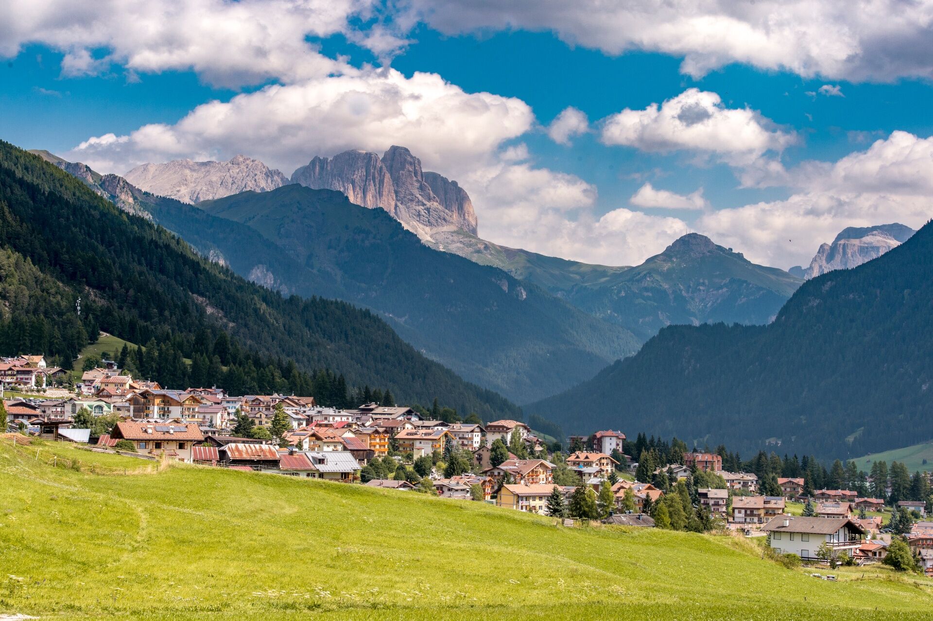
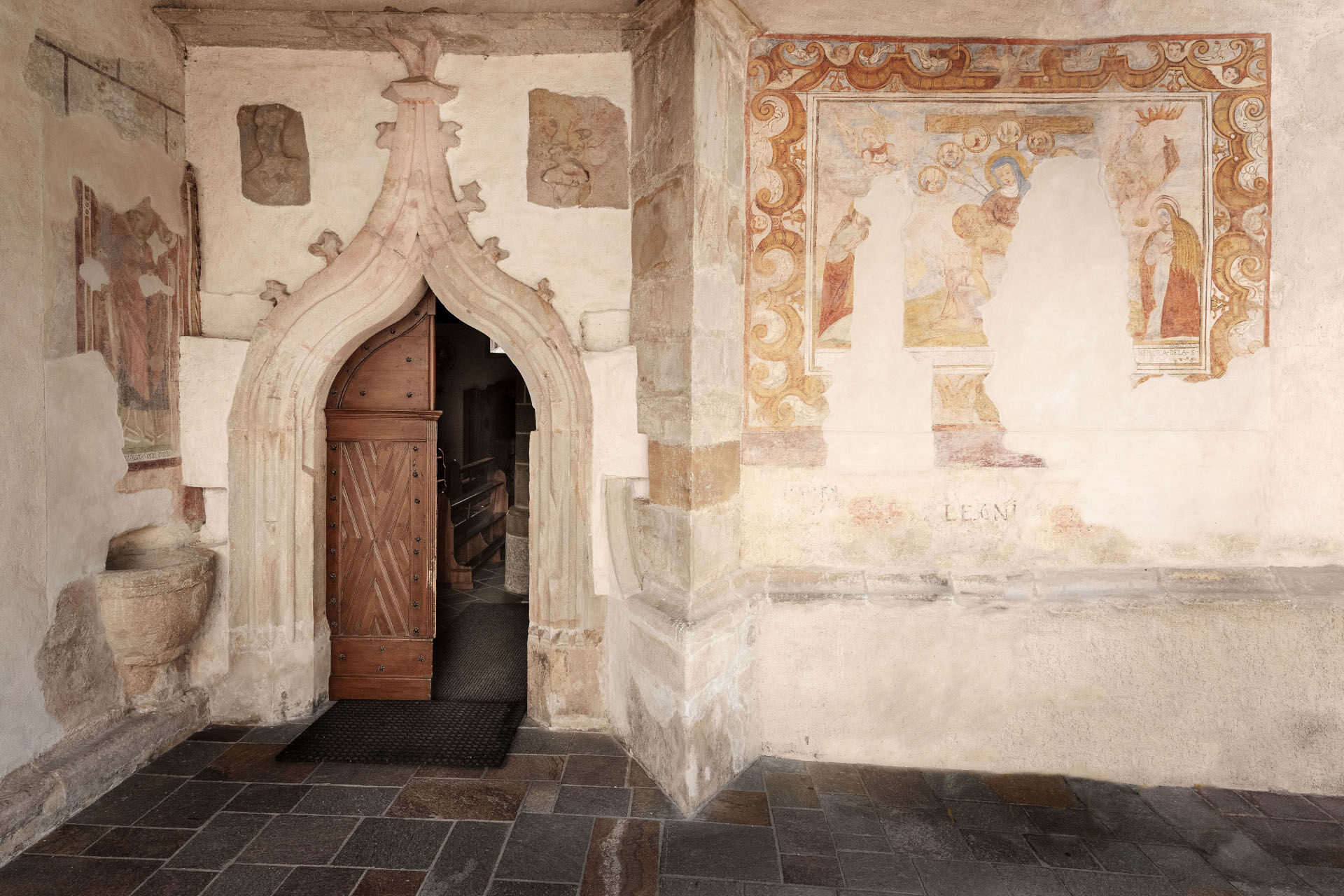
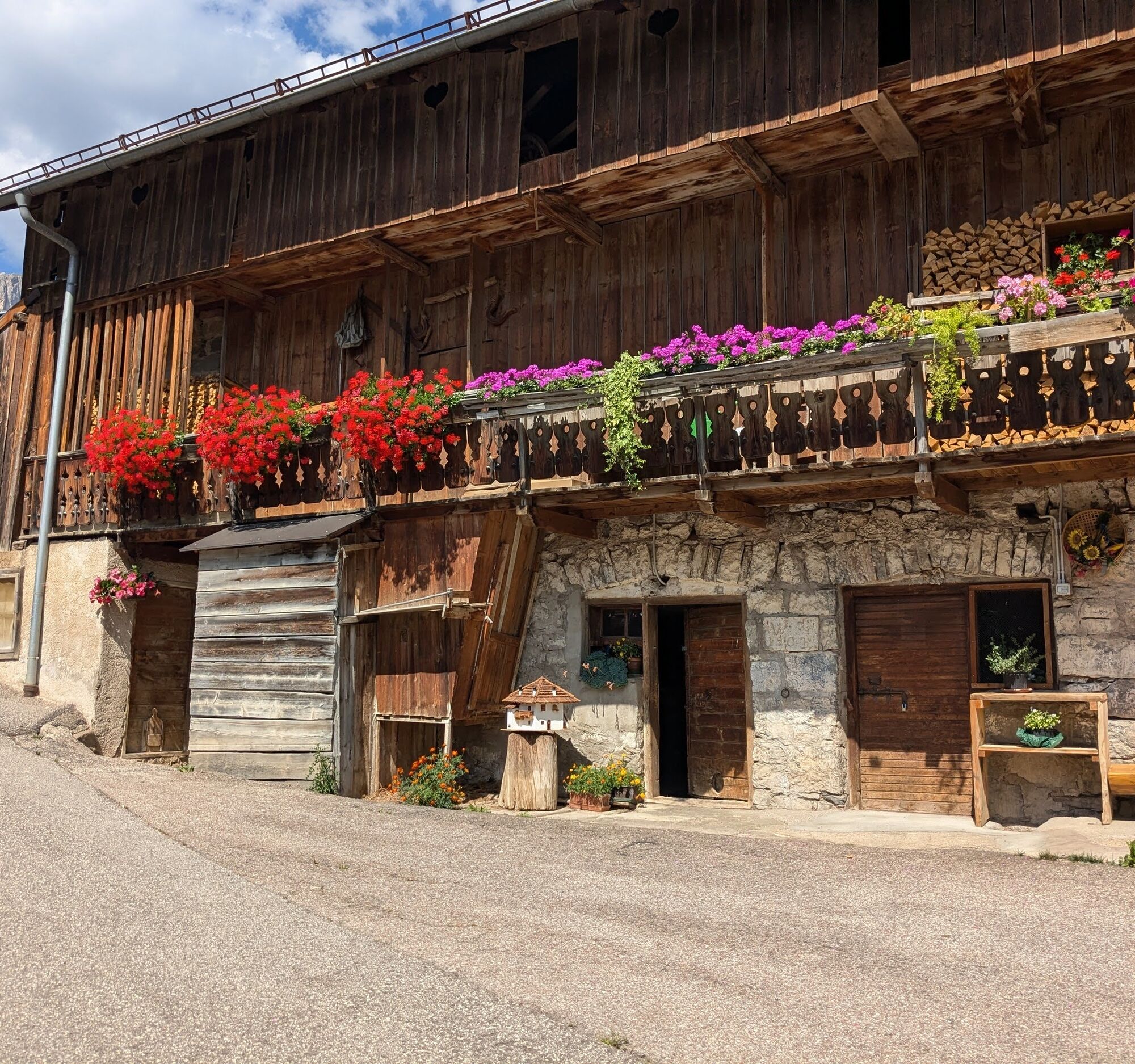
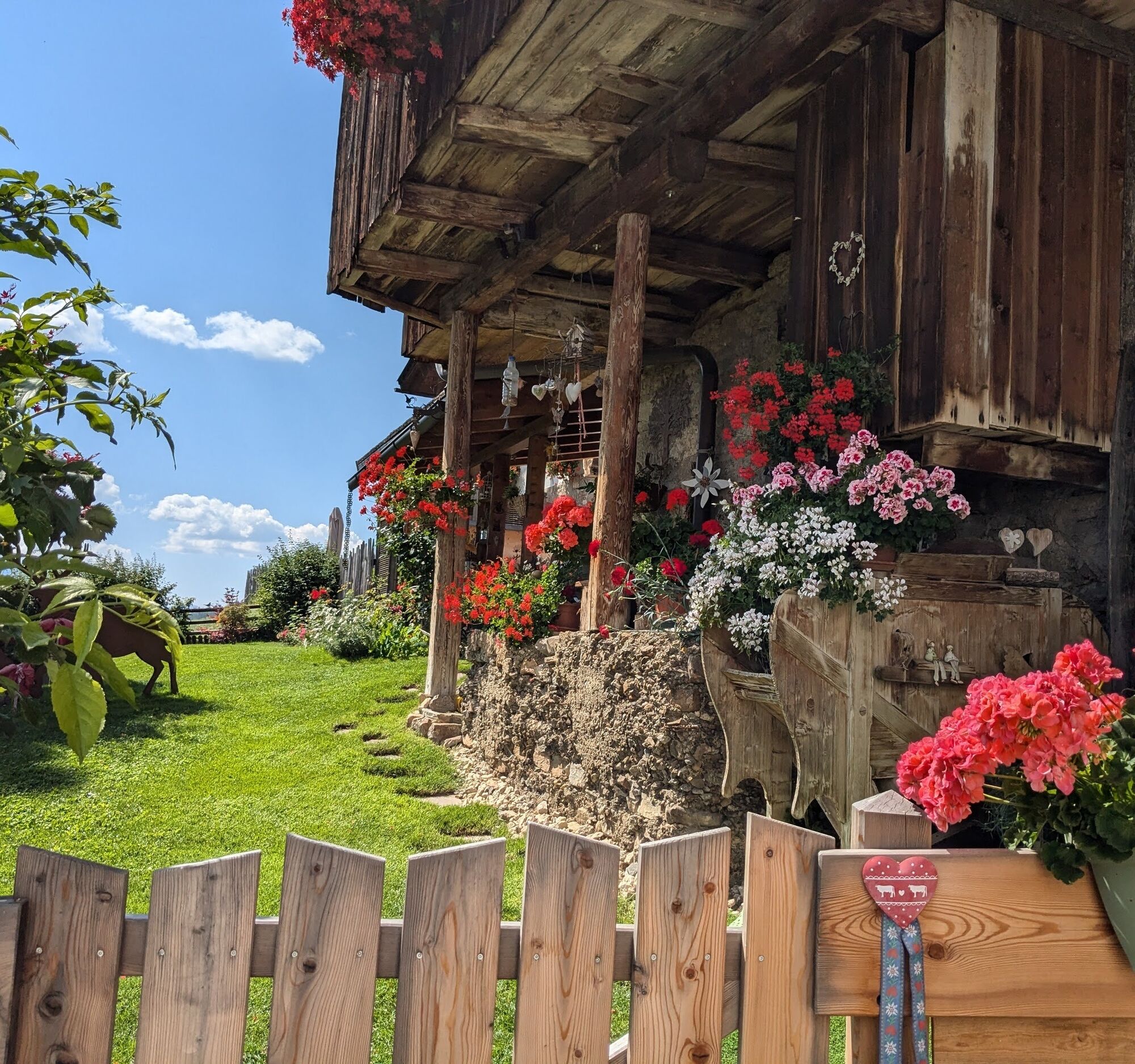
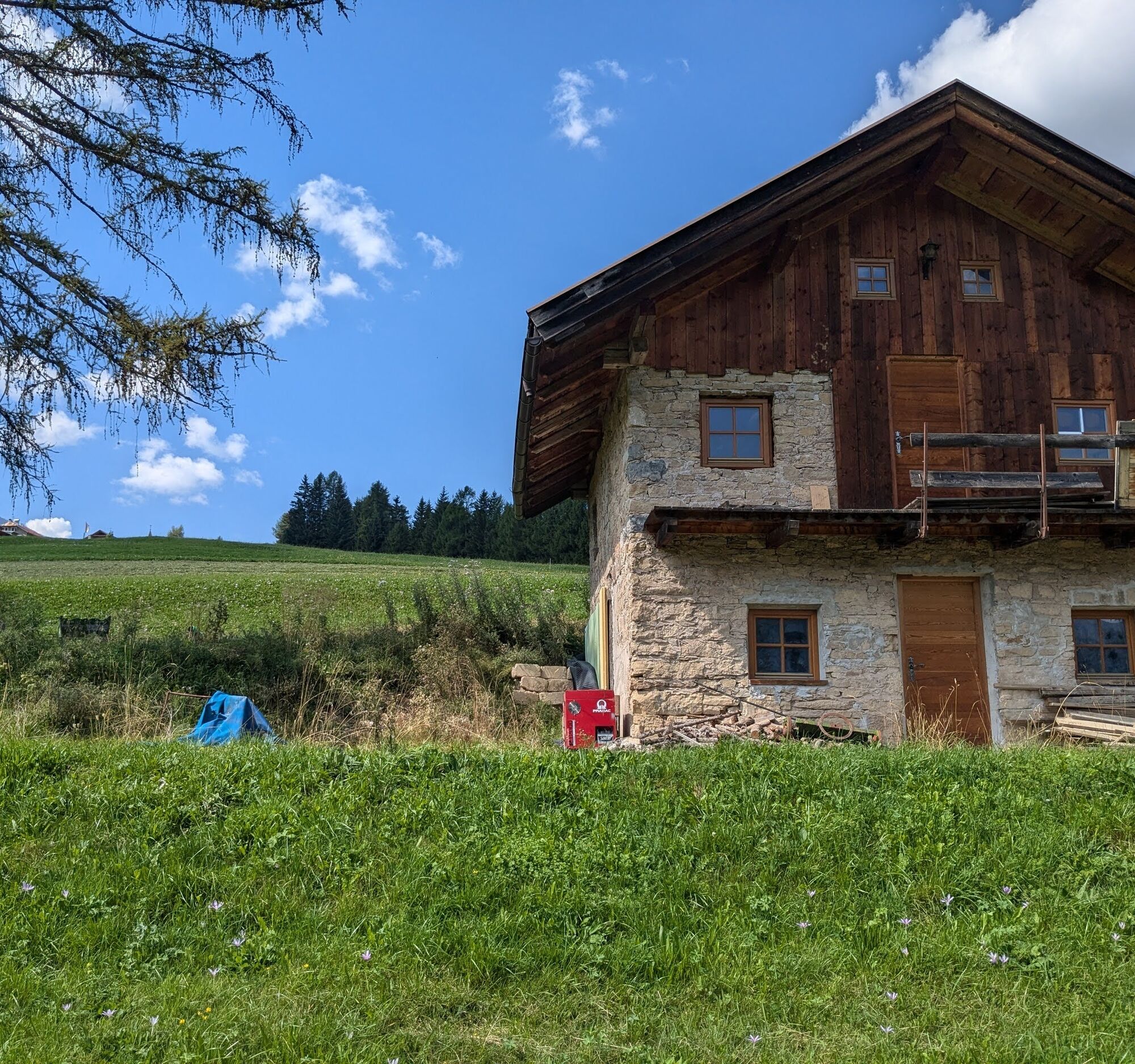
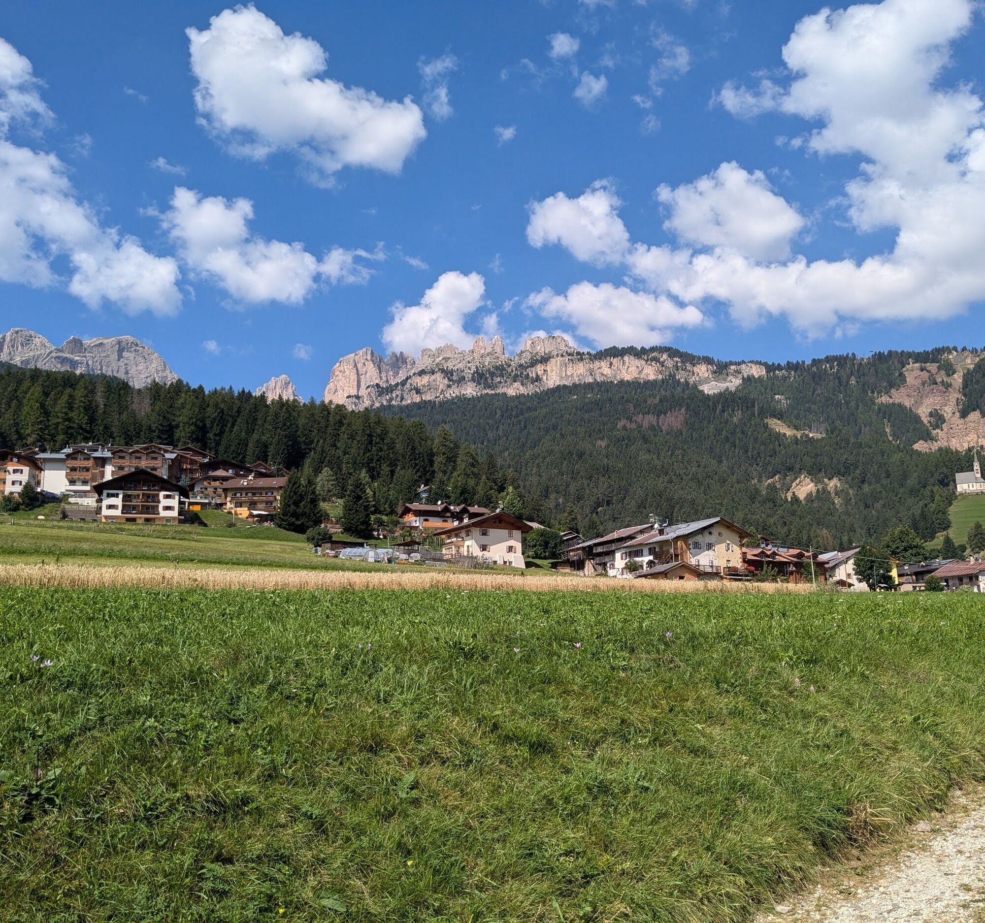
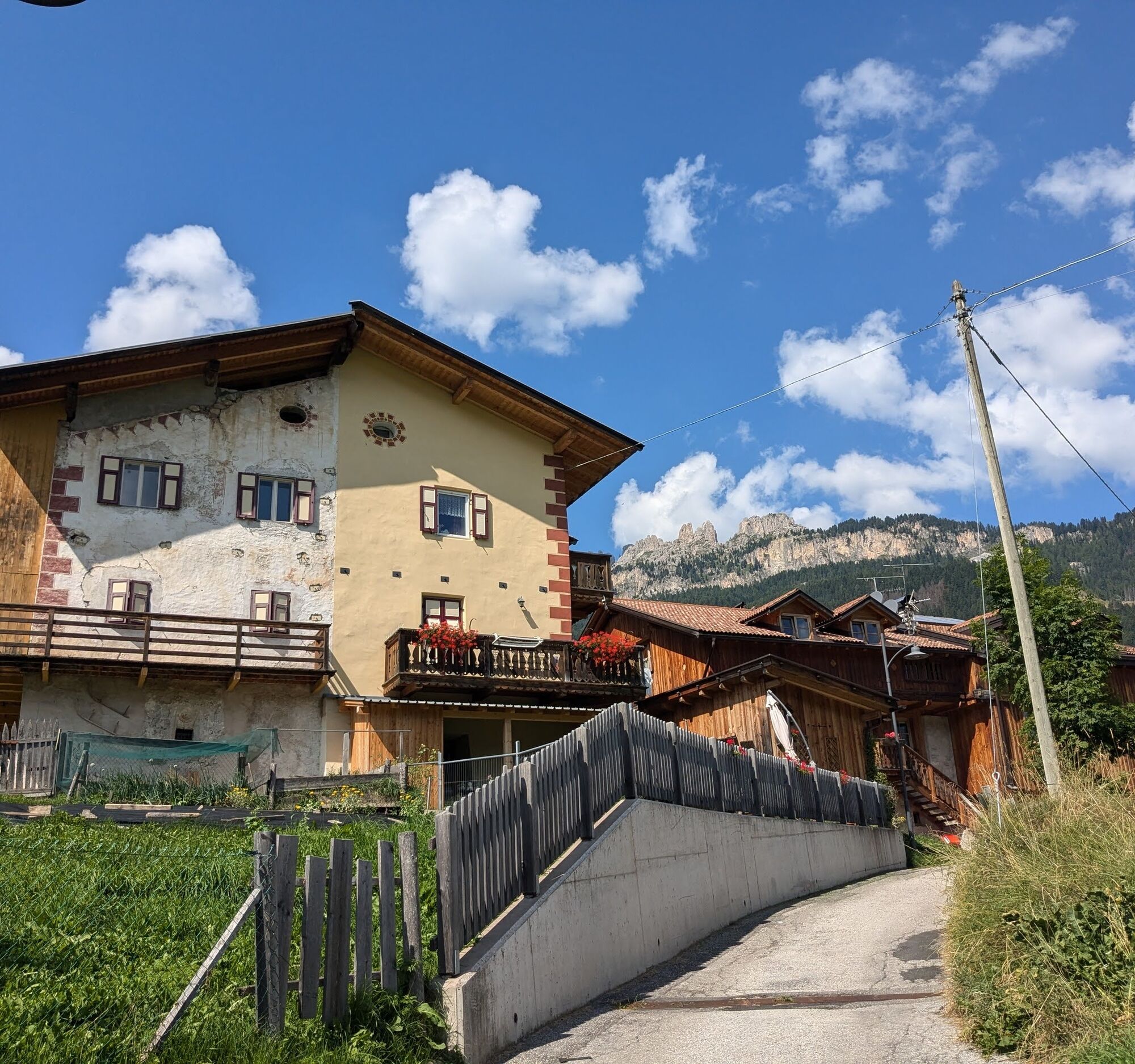
A walk through the historical, geographical and religious heart of Fassa, in the sunniest village in the valley. From the village square, following the road towards the Costalunga Pass, you pass the hamlets of "Val", "Costa", "Larcioné", "Valongia" and reach "Tamion", at 1550 metres, one of the highest settlements in Trentino. The inhabitants of Vigo were called "Siori da Vich", because the favourable exposure allowed more luxuriant harvests and richer fodder for family farms. Vigo was the political and Christian capital of Fassa at the time of the municipality "Comun de Fascia". All the sacraments were celebrated here, also from the neighbouring valleys. Here is the Church of Saint Juliana, patron saint of the valley, and also here, in an old barn, is the Ladin Cultural Institute, the home of the Fassa people. "Val" and "Costa" are the oldest districts. Their barns, despite restoration work, still have their original planks, retaining the authentic charm of a bygone era. In "Larcioné", you come across the only house with two bread ovens, which is more than rare. In fact, in the valley, a single oven generally served several houses. As you climb, first to "Valongia" and then to "Tamion", the view of Rodella, Sassolungo and Sassopiatto forces you to slow down your ascent, inviting you to stop and contemplate the landscape. Only when your soul is satiated with beauty do you resume the return journey.

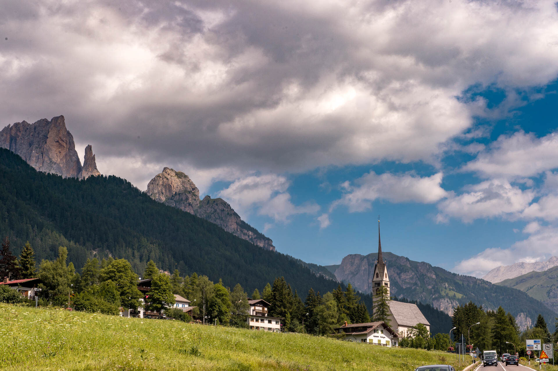
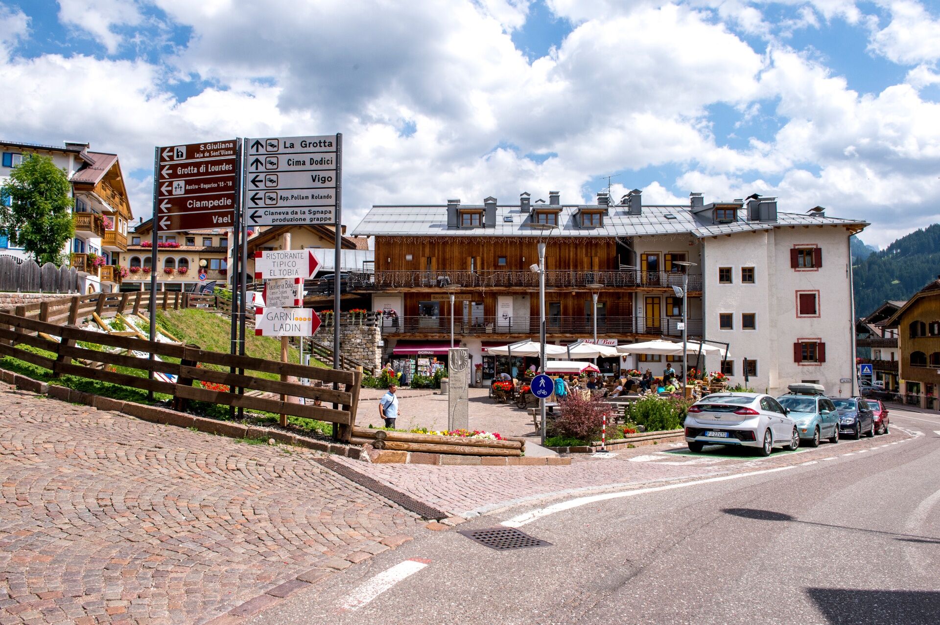
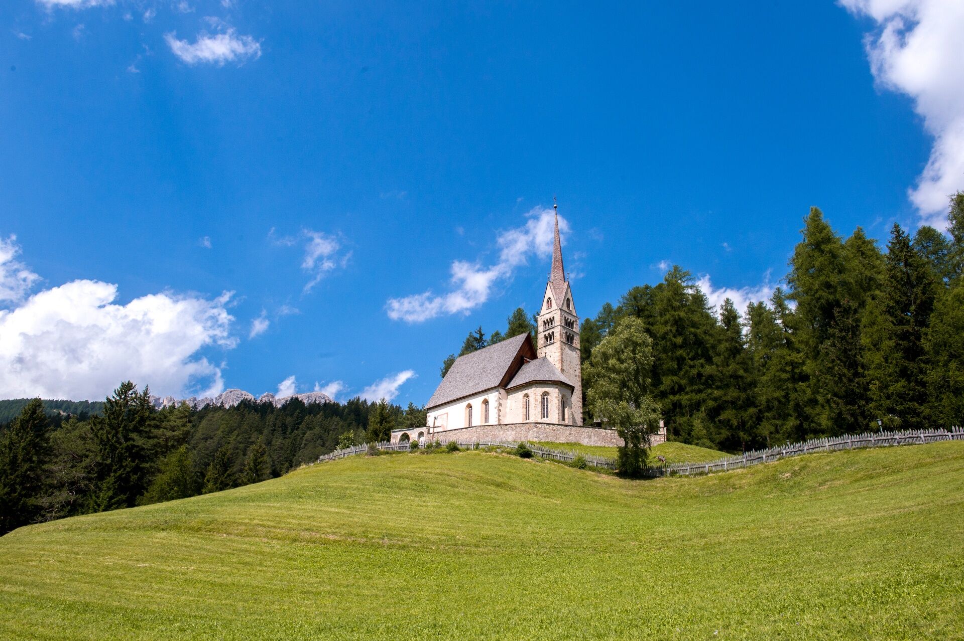
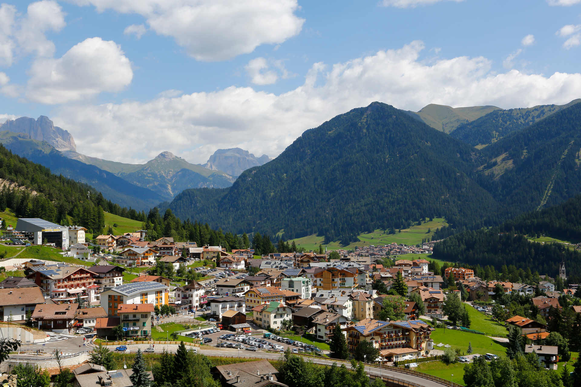
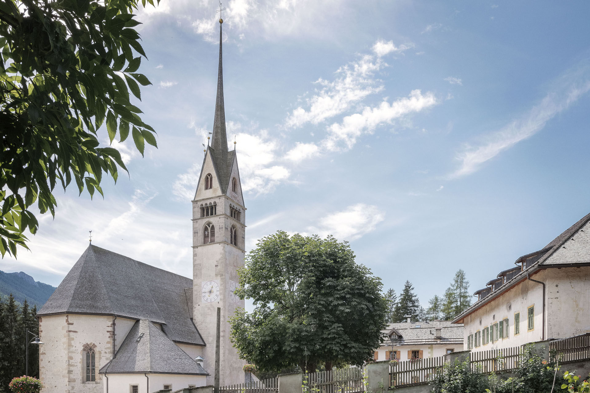
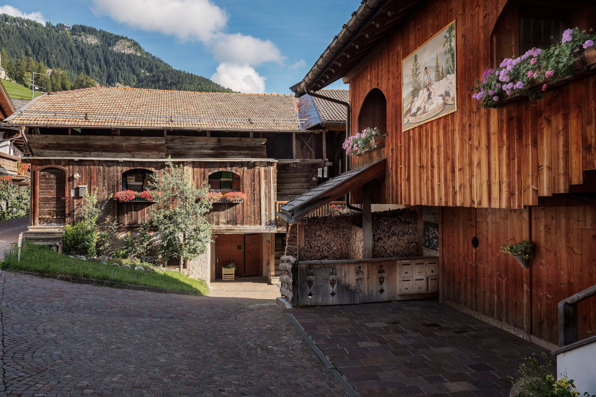
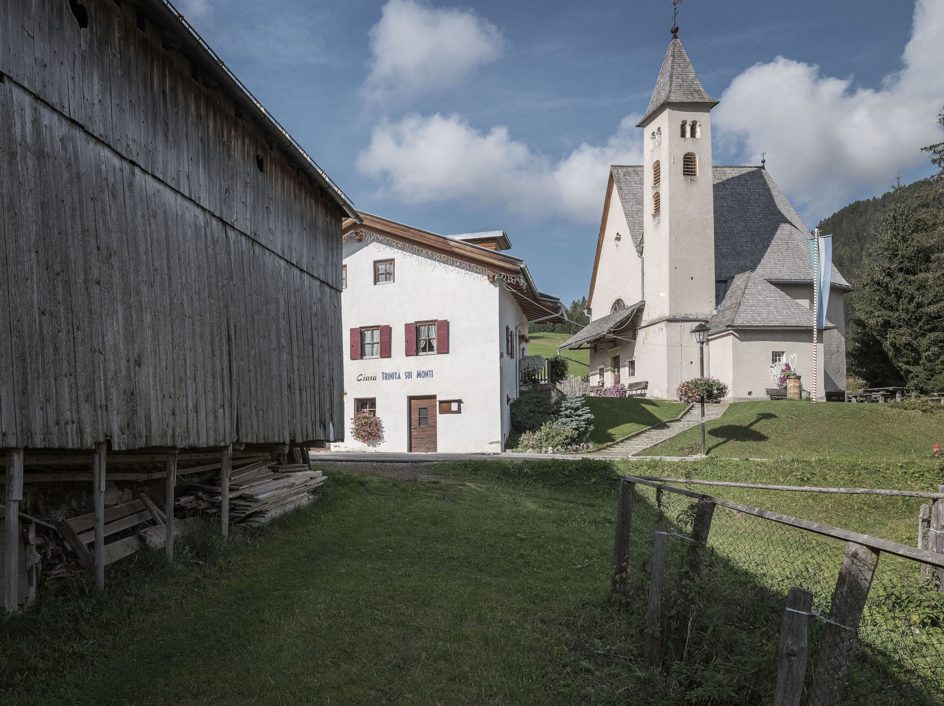
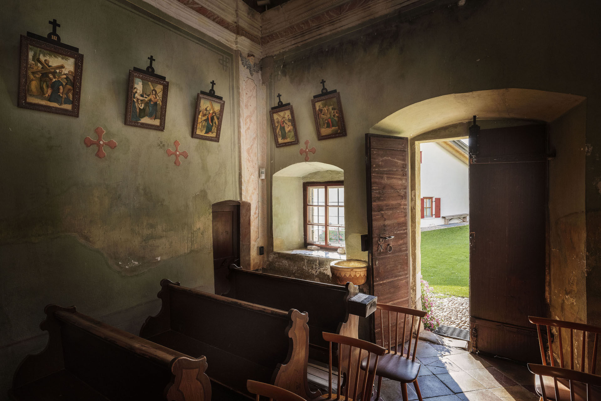
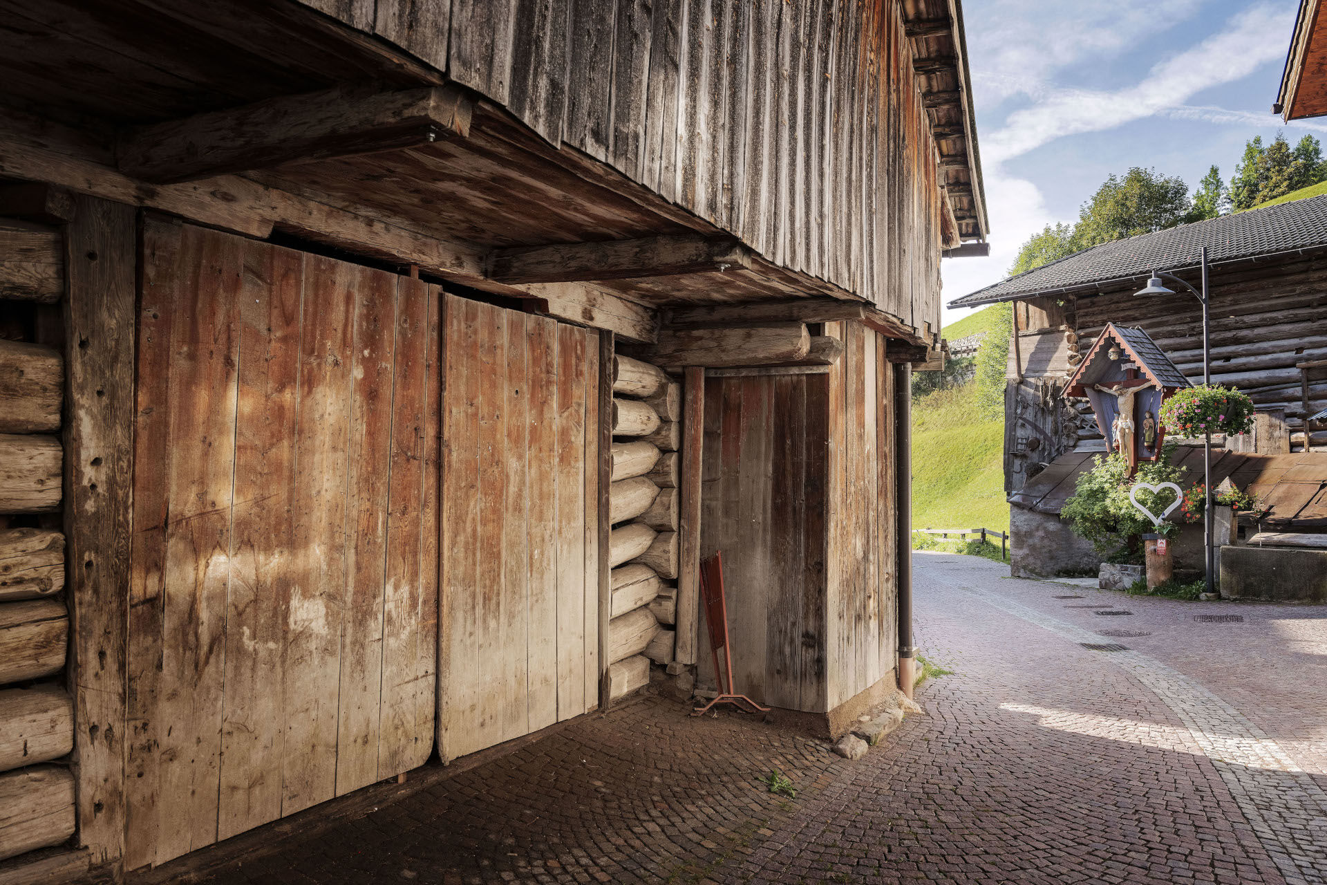
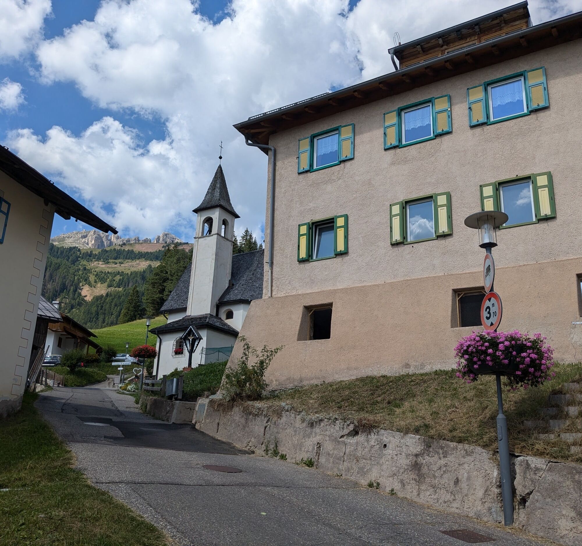
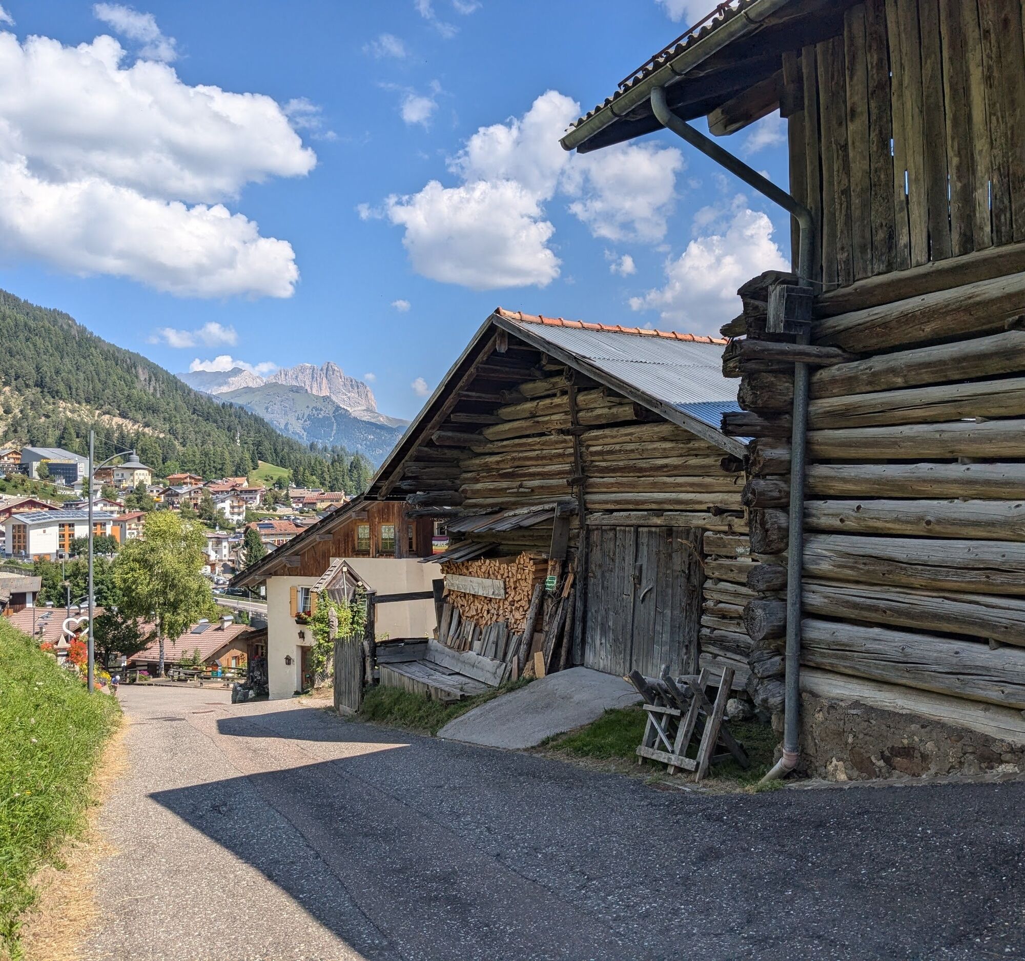
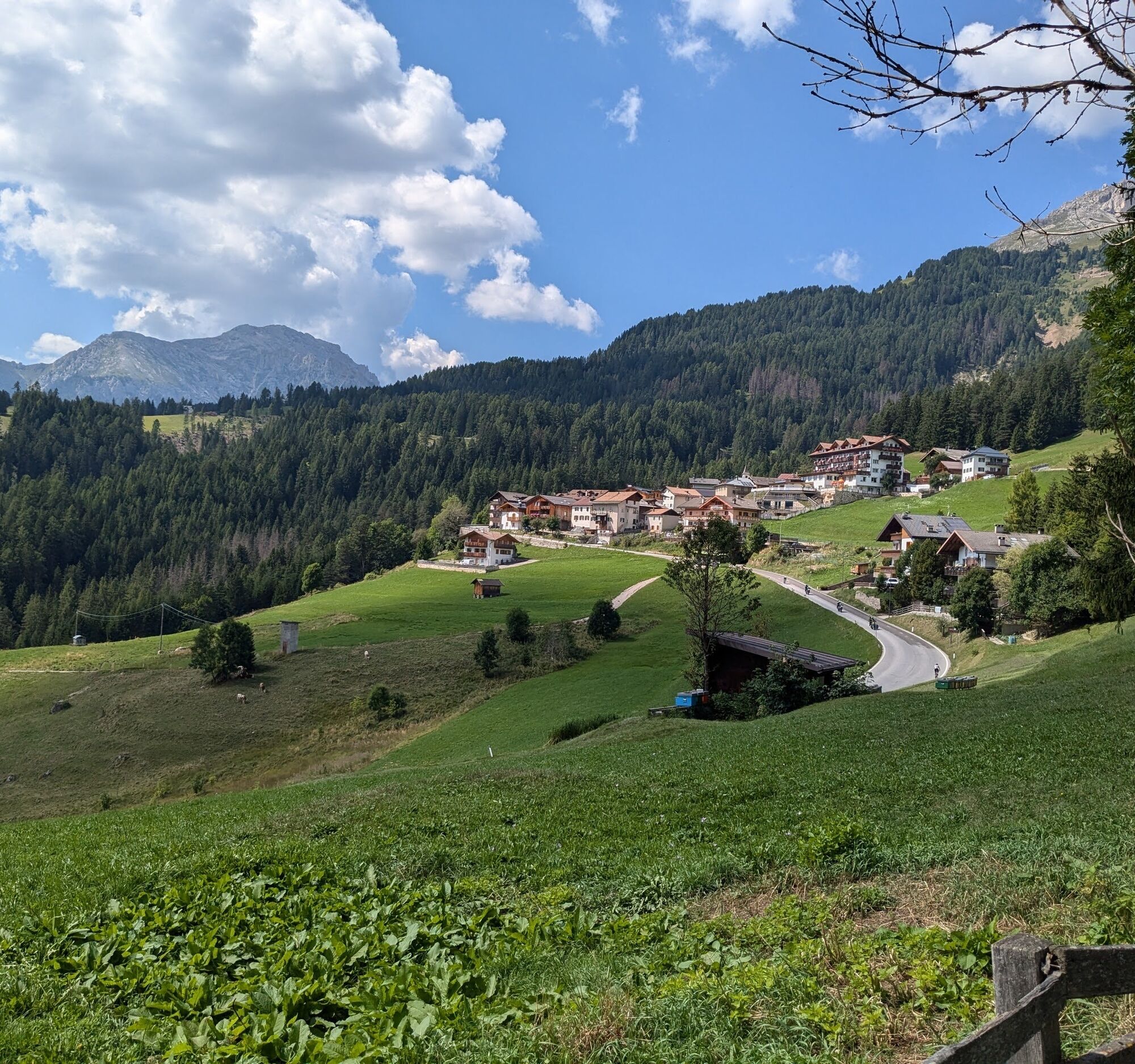
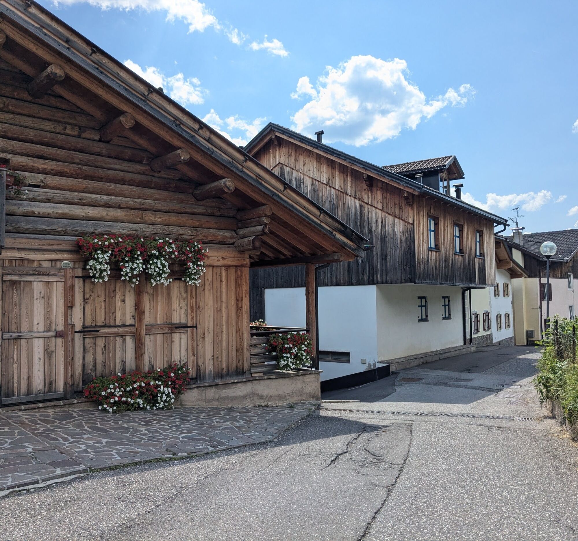
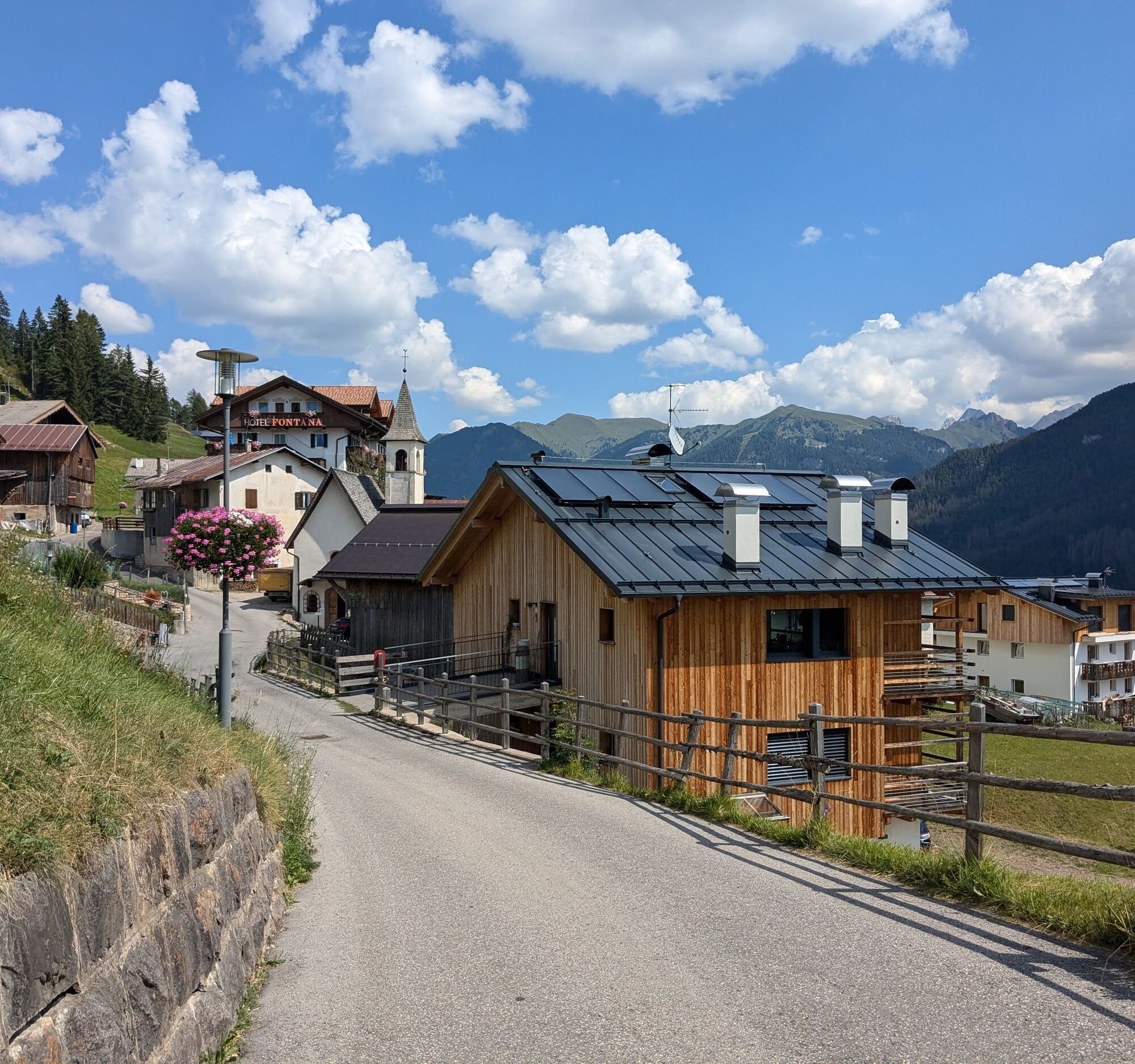
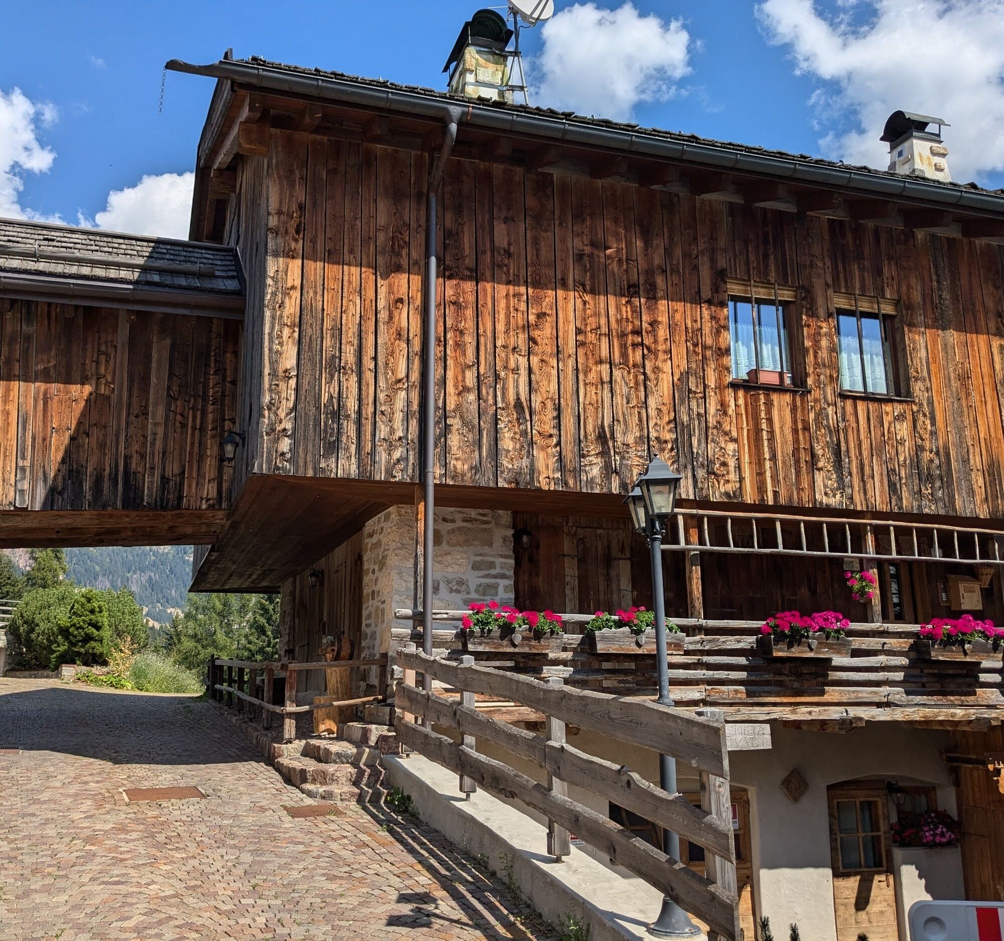
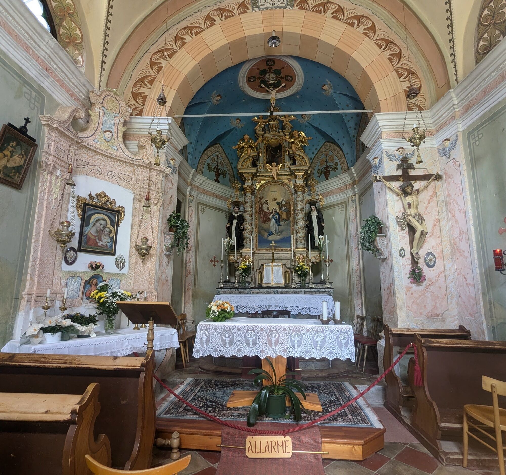
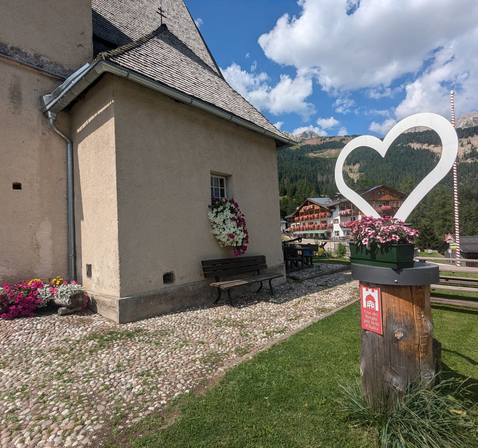
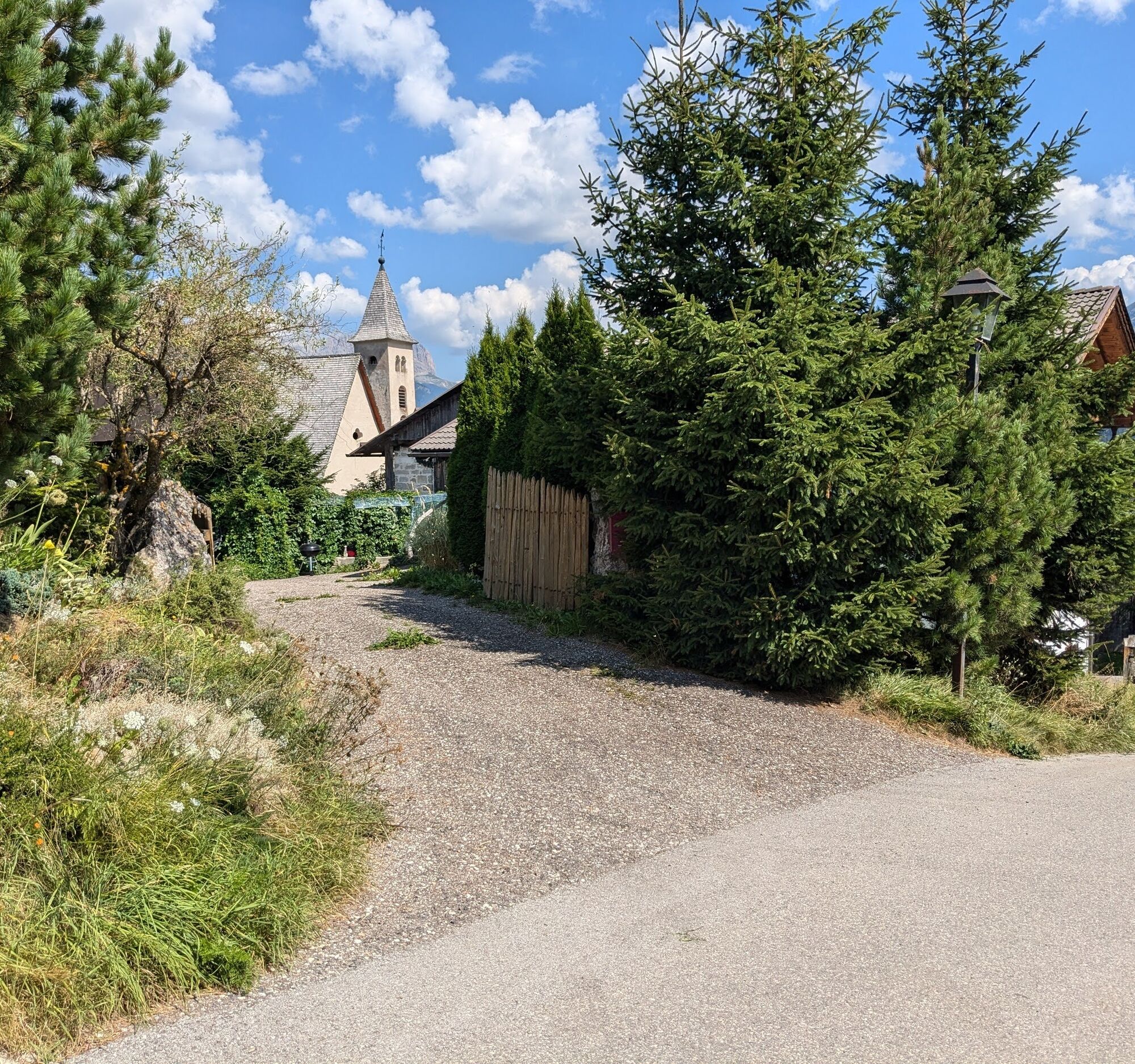
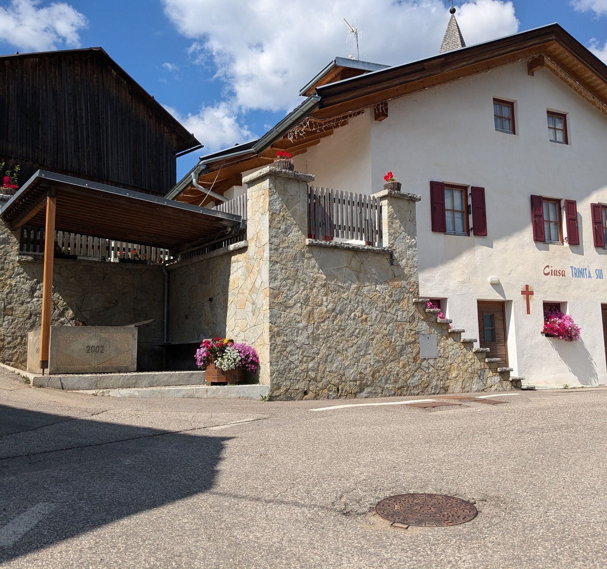
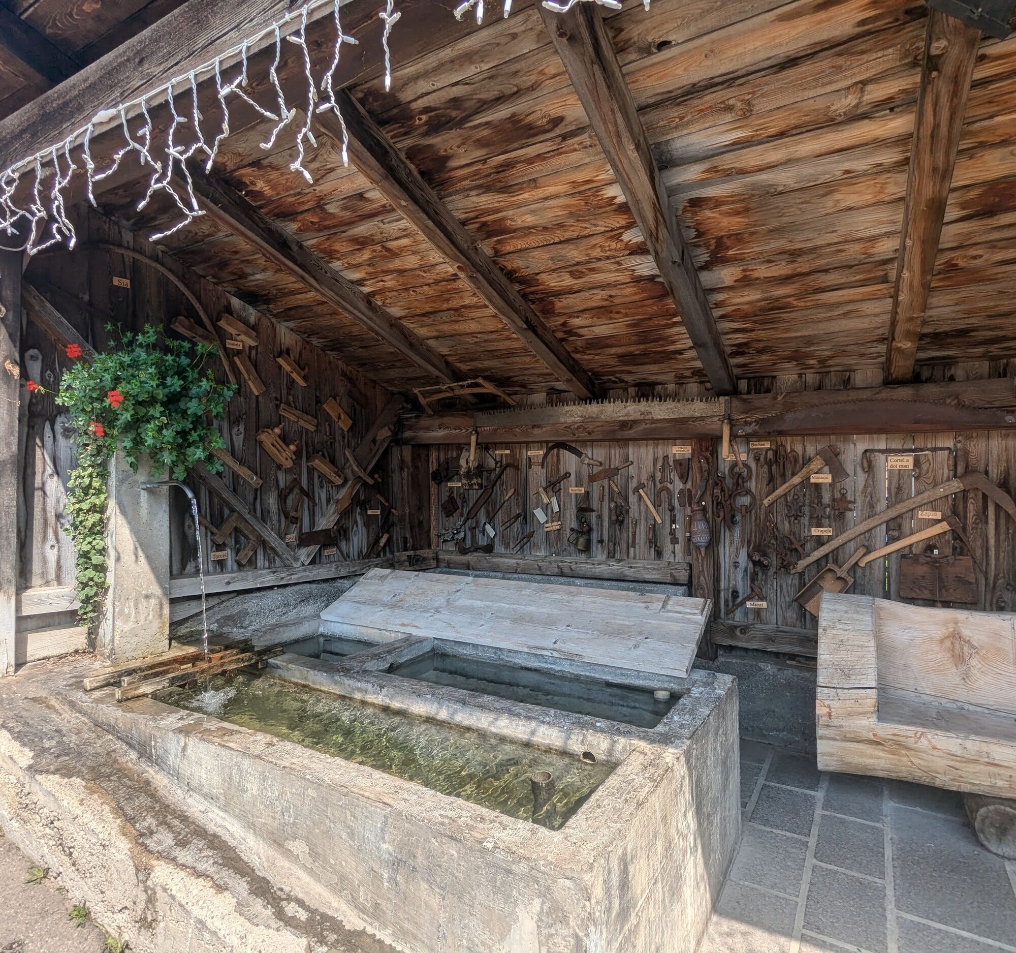
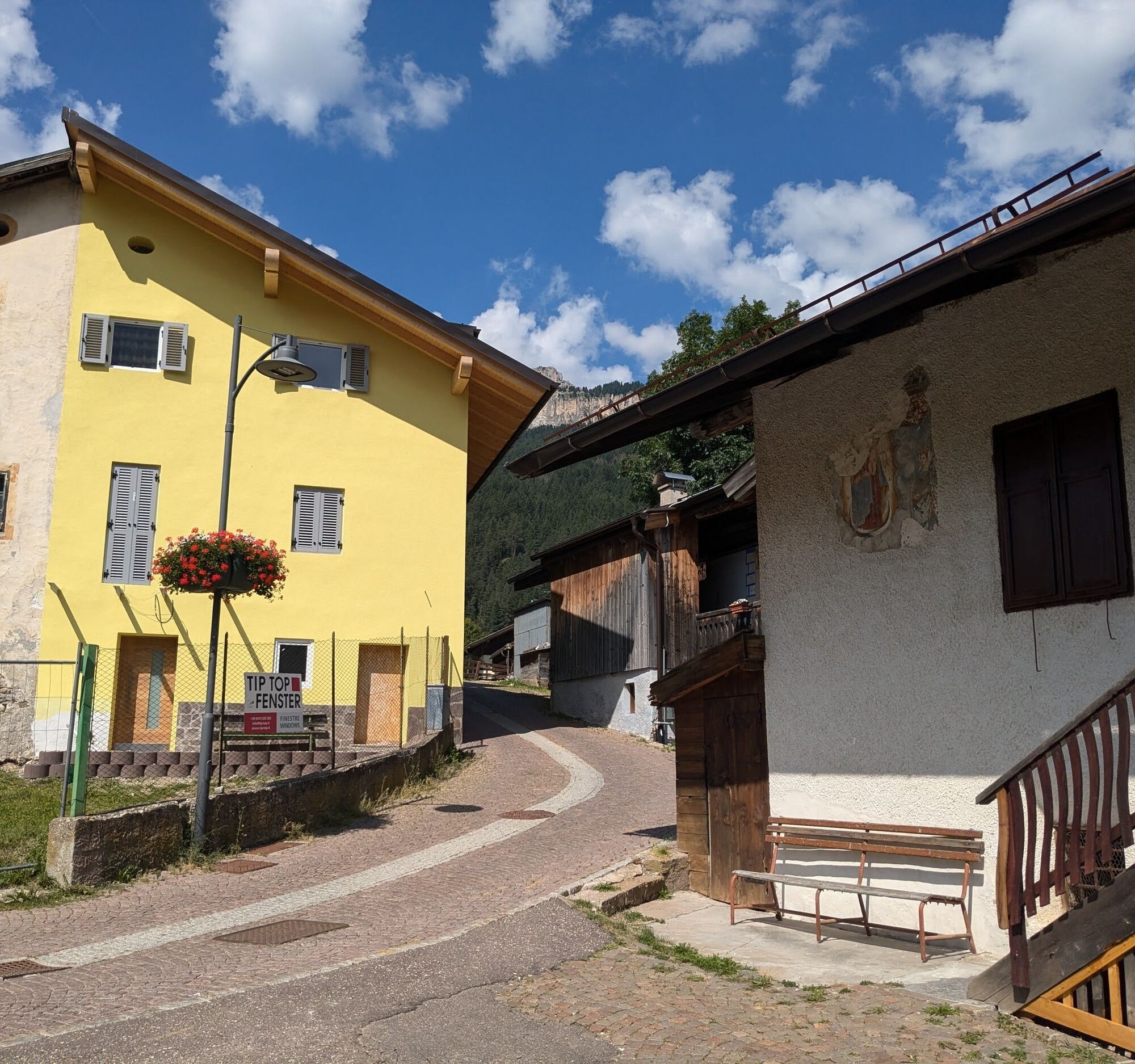

This route allows you to visit all the districts of Vigo in half a day, but can easily be broken up into several stages. Starting from the central square of Vigo ("Piaz de Vich"), walk up "Strada de Piz" to the covered fountain, then continue straight on "Strada de Sent'Uiana". Your first destination will be the temple of Saint Juliana, which towers over the village, protecting it from above. From here, follow the wide forest path that takes you to "Valongia", a small village gathered around the small church dedicated to St John of Nepomuk. You cross the road that climbs towards the Costalunga Pass to take you to the opposite side and reach the magnificent panoramic terrace where the village of "Tamion" stands. Over meadows and pastures, you begin your return towards Vigo. Reaching the first houses of "Larcioné", follow the small country road that winds its way over wide terraces to "Costa", another settlement that still retains traces of its original physiognomy. The last settlement you pass through before returning to your starting point is "Val".
Tak
Tak
Tak
Carry a water bottle and emergency supplies in your rucksack, along with a minimal supply of first aid.
2.Walk slowly, enjoy the landscape and the silence.
3. Inform somebody about your itinerary, return time and possible changes.
4. Rely on professionals (mountain and hiking guides).
5. Help those in need. Call 112 only in case of real necessity.
6. Make sure you have suitable clothes and equipment + some water and snacks.
7. Respect the environment around you and its inhabitants. Bring back your rubbish.
8. Follow the marked trails avoiding those in the bikepark.
9. To protect the wonders of nature, leave everything in its place.
10. Bring your pet along, but keep it on a leash.
Other access points to Val di Fassa:
from A27 motorway (Venezia), exit Belluno/Ponte nelle Alpi, S.S. 203 to Agordo and S.P. 346 to San Pellegrino Pass - Moena (Val di Fassa). At the roundabout in Moena, proceed towards Canazei from A27 motorway (Venezia), exit Belluno/Ponte nelle Alpi, S.S. 203 to Agordo/Alleghe/Rocca Pietore. S.P. 641 to Fedaia Pass - Canazei coming from Arabba, S.S. 48 to Pordoi Pass - Canazei from Val Gardena, S.S. 242 to Sella Pass - CanazeiPublic transport lines SAD - Val di Fassa:
line no. 180 Vigo di Fassa - Carezza Pass - Bolzano- Nearest bus stop (Trentino Trasporti/SAD): Vigo di Fassa > Strada Rezia/Hotel Carpe Diem
Free or paid parking spaces in the vicinity of the ski lifts or St. John's church ("Pieve di San Giovanni").
Strèda Roma, 36
38032 Canazei (TN)
Phone +39 0462 609500
info@fassa.com
www.fassa.com
No refreshment points along the route.
Kamery internetowe z trasy
-
Ciampedie - Rosengarten
-
Ciampedie - Rosengarten
-
Ciampedie - Rosengarten
-
Ciampedie - Rosengarten
-
Catinaccio - Rosengarten Pra Martin
-
Ciampedie - Rosengarten
-
Ciampedie - Rosengarten
-
Ciampedie - Rosengarten
-
Ciampedie - Rosengarten
-
Catinaccio - Rosengarten Pra Martin
-
Catinaccio - Rosengarten Pra Martin
-
Pozza di Fassa - Buffaure
-
Talstation Pra di Tori
-
Pozza di Fassa
-
Pra di Tori Bergstation
Uzyskaj wgląd
Zawsze na żywo z ponad 9 500 kamer internetowych. bergfex Jako użytkownik Pro, możesz teraz zobaczyć odpowiednie kamery internetowe dla wielu wycieczek w aplikacji wycieczki od. Pozwala to na bezpośredni podgląd aktualnych warunków.
Popularne wycieczki w okolicy
-
5,0
Langkofel Klettersteig/Ferrata Furcela de Saslonch
ciężkiVia ferrata 7,07 km -
5,0
Um den Langkofel
średniWędrówka 9,76 km -
4,0
Der Friedrich-August-Weg
średniWędrówka 10,4 km -
4,9
Lang- und Plattkofel Umrundung
średniWędrówka 17,5 km -
4,8
Santnerpass Klettersteig
średniVia ferrata 8,29 km -
4,8
Langkofel-Umrundung
średniWędrówka 12,9 km -
4,8
Schlern Bersteigung
średniWędrówka 19,1 km -
4,7
Compatsch - Piz - Saltria - Joch - Compatsch
średniWędrówka 16,8 km -
4,9
Torre di Pisa mountain hut
średniWędrówka 9,09 km -
5,0
Ciampedie - Gardeccia - Refuges Vajolet and Preuss - Refuge Re Alberto I - Gardeccia - Ciampedie
ciężkiWędrówka 11,8 km
Wędrówki i tropienie


Nie przegap ofert i inspiracji na następne wakacje
Twój adres e-mail została dodana do listy mailingowej.





