







At Doss di Pigui


Karl Felix Wolf, the great anthropologist and essayist who brought to light the Dolomite sagas, despite all, lived with the belief, due to his genius' intuition, that the Ladin valleys were colonized from...
Karl Felix Wolf, the great anthropologist and essayist who brought to light the Dolomite sagas, despite all, lived with the belief, due to his genius' intuition, that the Ladin valleys were colonized from the Iron Age by forest peoples. Only a few years after his death were his assumptions verified. The occasion was the discovery near Mazzin of the Doss di Pigui site. A stone perimeter buried by centuries of vegetation and clay deposited by time, which saw the start of excavations in summer 1979. Five hearths emerged, imposing terrace constructions, and two stone mills, one granite and one porphyry, material imported by populations who came here from outside since it is nonexistent in Val di Fassa. Ceramics and terracotta finds were uncovered, bowls, uniformly decorated plates. This led to thoughts of even production workshops. The artifacts are kept at the Ladin Museum of Fassa and reveal to us a territory already anciently crossed by a stable network of communication routes.


Walk around Mazzin (no. 52)
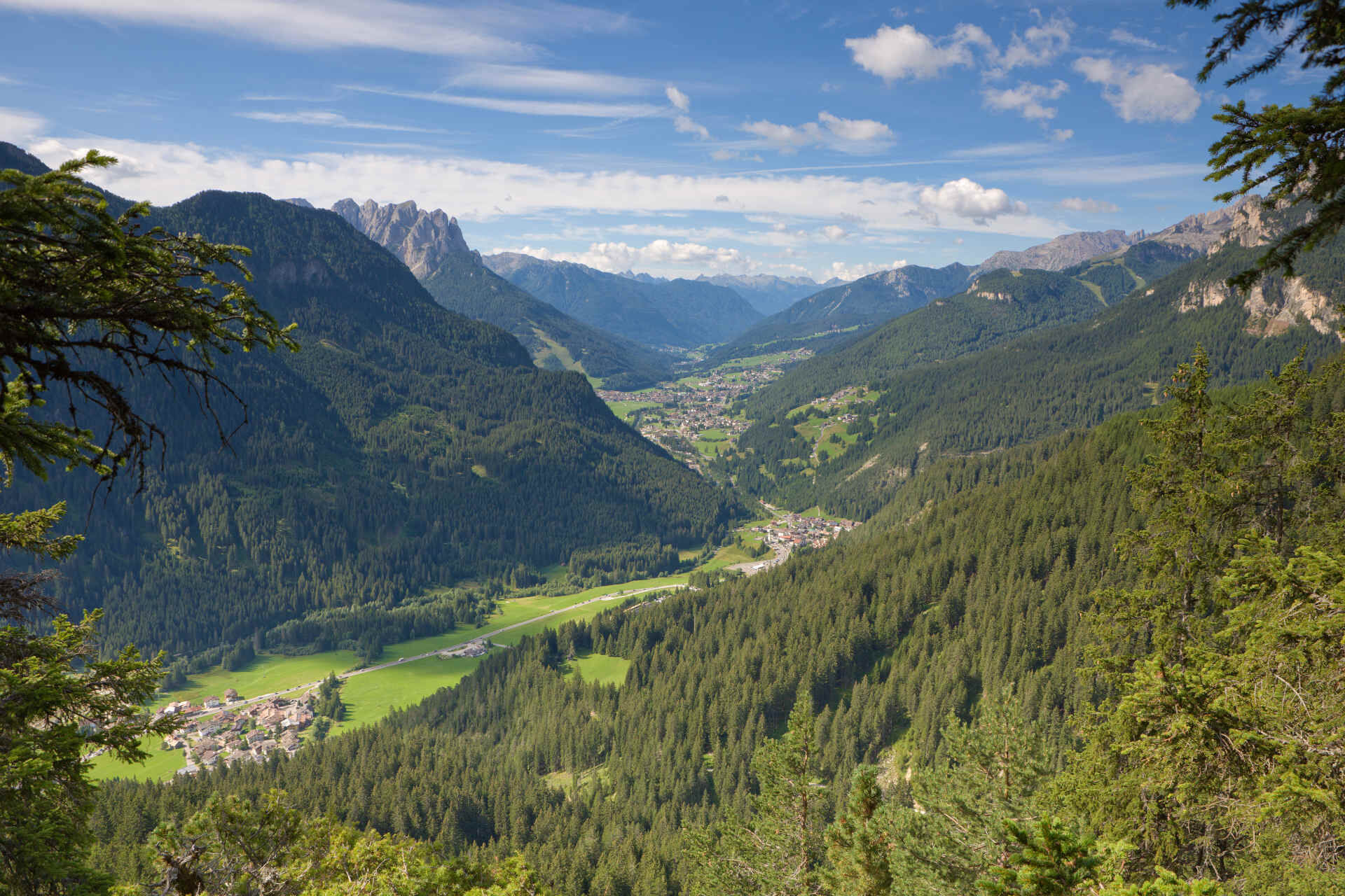
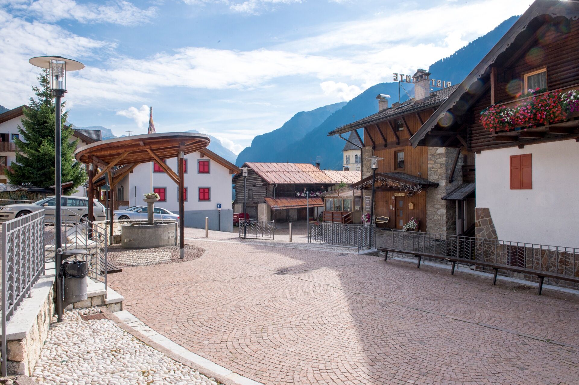
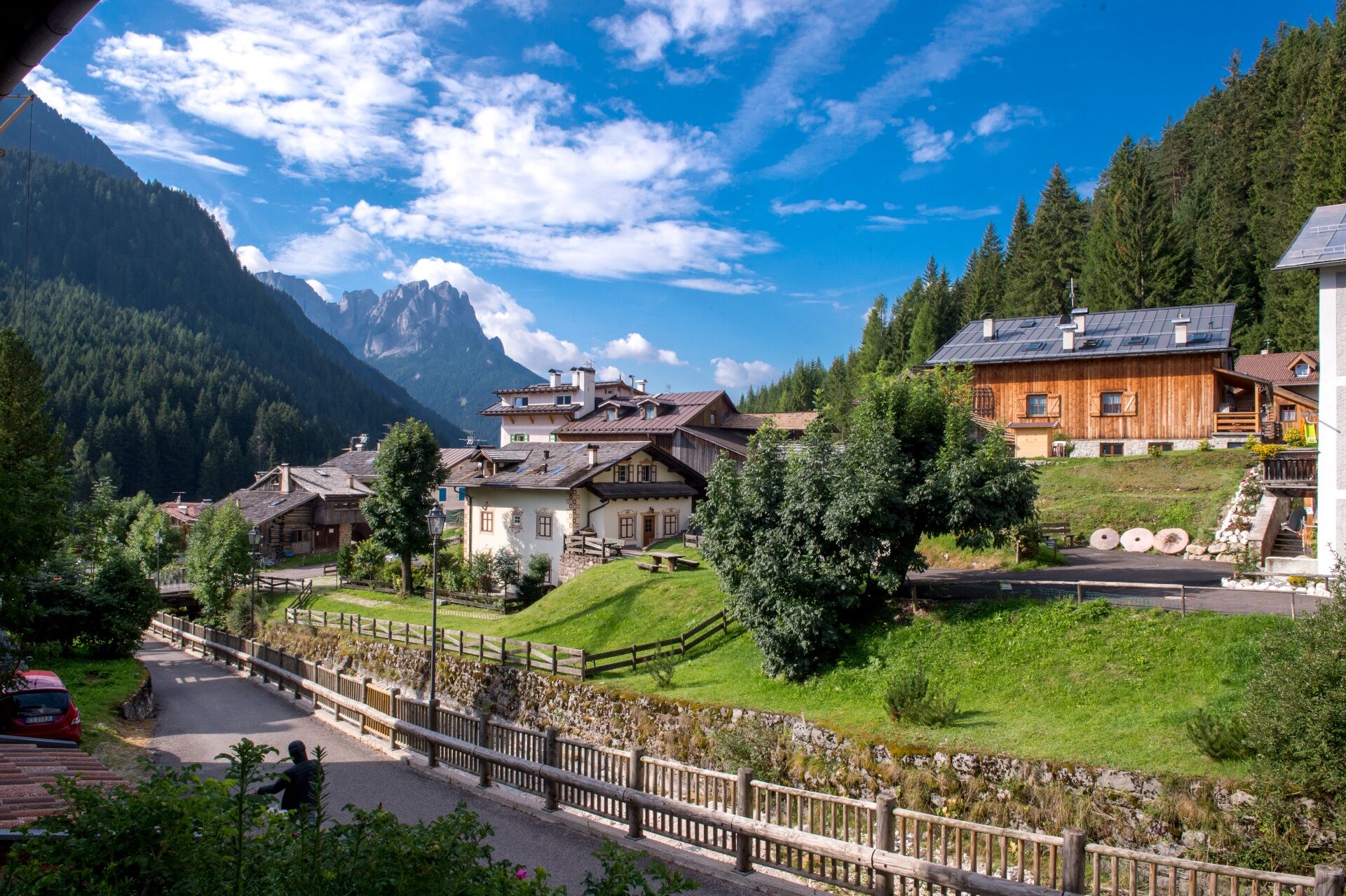
In front of the church of Mazzin, take Strèda de Pian. On the left, go down Strèda de Chiavacia which runs alongside the Ruf de Udai. Cross the bridge over the Avisio to reach the opposite side of the village. Follow the gravel road that gradually climbs through the forest until you reach the playground. Shortly after, at the fork, take the forest road on the left. You gain elevation and, following some wide hairpin bends, you arrive at a new crossroads. Whether you turn right or left, the destination is the same. We recommend keeping to the left. The route almost takes on a spiral pattern leading to the summit of Doss di Pigui. First, it points northwest and then turns in the opposite direction. After 1 km of constant ascent, leave the forest road to follow the path on the right. As you get closer to the destination, the vegetation thins out, occasionally revealing bare rock made of large boulders, lava, and breccia from the Middle Triassic. You are now at the Pigui archaeological site, in a dominant, sunny and secluded position. Imagine a small Rhaetic village of farmers, hunters, and shepherds dating back to the second Iron Age (5th century BC). What you see today are only the remains of the stones used for the foundations, arranged in a circle. An information board tells of the findings discovered at the end of the 1960s and the history of the people who first settled the valley permanently.
On the way down, return to the forest road. Immediately take the path on the left which, after a short flat stretch, descends steeply towards the valley, joining another forest road just below. Go right and follow it until you rejoin the outbound route. Then return to the starting point by the same path.
Tak
Carry in your backpack the necessary to face possible emergency situations, and a first aid kit.
2.Walk slowly, enjoy the landscape and the silence.
3. Inform somebody about your itinerary, return time and possible changes.
4. Rely on professionals (mountain and hiking guides).
5. Help those in need. Call 112 only in case of real necessity.
6. Make sure you have suitable clothes and equipment + some water and snacks.
7. Respect the environment around you and its inhabitants. Bring back your rubbish.
8. Follow the marked trails avoiding those in the bikepark.
9. To protect the wonders of nature, leave everything in its place.
10. Bring your pet along, but keep it on a leash.
Other access points to Val di Fassa:
from A27 motorway (Venezia), exit Belluno/Ponte nelle Alpi, S.S. 203 to Agordo and S.P. 346 to San Pellegrino Pass - Moena (Val di Fassa). At the roundabout in Moena, proceed towards Canazei from A27 motorway (Venezia), exit Belluno/Ponte nelle Alpi, S.S. 203 to Agordo/Alleghe/Rocca Pietore. S.P. 641 to Fedaia Pass - Canazei coming from Arabba, S.S. 48 to Pordoi Pass - Canazei from Val Gardena, S.S. 242 to Sella Pass - CanazeiPublic transport lines SAD - Val di Fassa:
line no. 180 Vigo di Fassa - Carezza Pass - Bolzano- Nearest bus stop (Trentino Trasporti): Mazzin > Tourist office
Kostenlose Parkplätze neben dem Hotel Vajolet oder in der Nähe des Tourismusbüros.
Strèda Roma, 36
38032 Canazei (TN)
Phone +39 0462 609500
info@fassa.com
www.fassa.com
No refreshment points along the route.
Uzyskaj wgląd
Zawsze na żywo z ponad 9 500 kamer internetowych. bergfex Jako użytkownik Pro, możesz teraz zobaczyć odpowiednie kamery internetowe dla wielu wycieczek w aplikacji wycieczki od. Pozwala to na bezpośredni podgląd aktualnych warunków.
Popularne wycieczki w okolicy
-
4,8
Torre di Pisa mountain hut
średniWędrówka 9,09 km -
4,7
Pordoi Pass - Sass Pordoi - Forcella Pordoi - Piz Boè - Boè Refuge - Forcella Pordoi - Pordoi Pass
ciężkiWędrówka 8,39 km -
5,0
Langkofel Klettersteig/Ferrata Furcela de Saslonch
ciężkiVia ferrata 7,07 km -
5,0
Um den Langkofel
średniWędrówka 9,76 km -
4,0
Der Friedrich-August-Weg
średniWędrówka 10,4 km -
4,9
Lang- und Plattkofel Umrundung
średniWędrówka 17,5 km -
4,9
Santnerpass Klettersteig
średniVia ferrata 8,29 km -
4,8
Schlern Bersteigung
średniWędrówka 19,1 km -
4,8
Langkofel-Umrundung
średniWędrówka 12,9 km -
4,7
Puflatsch Umrundung
światłoWędrówka 8,37 km
Wędrówki i tropienie


Nie przegap ofert i inspiracji na następne wakacje
Twój adres e-mail została dodana do listy mailingowej.





