







At the basalt waterfalls of Mortic
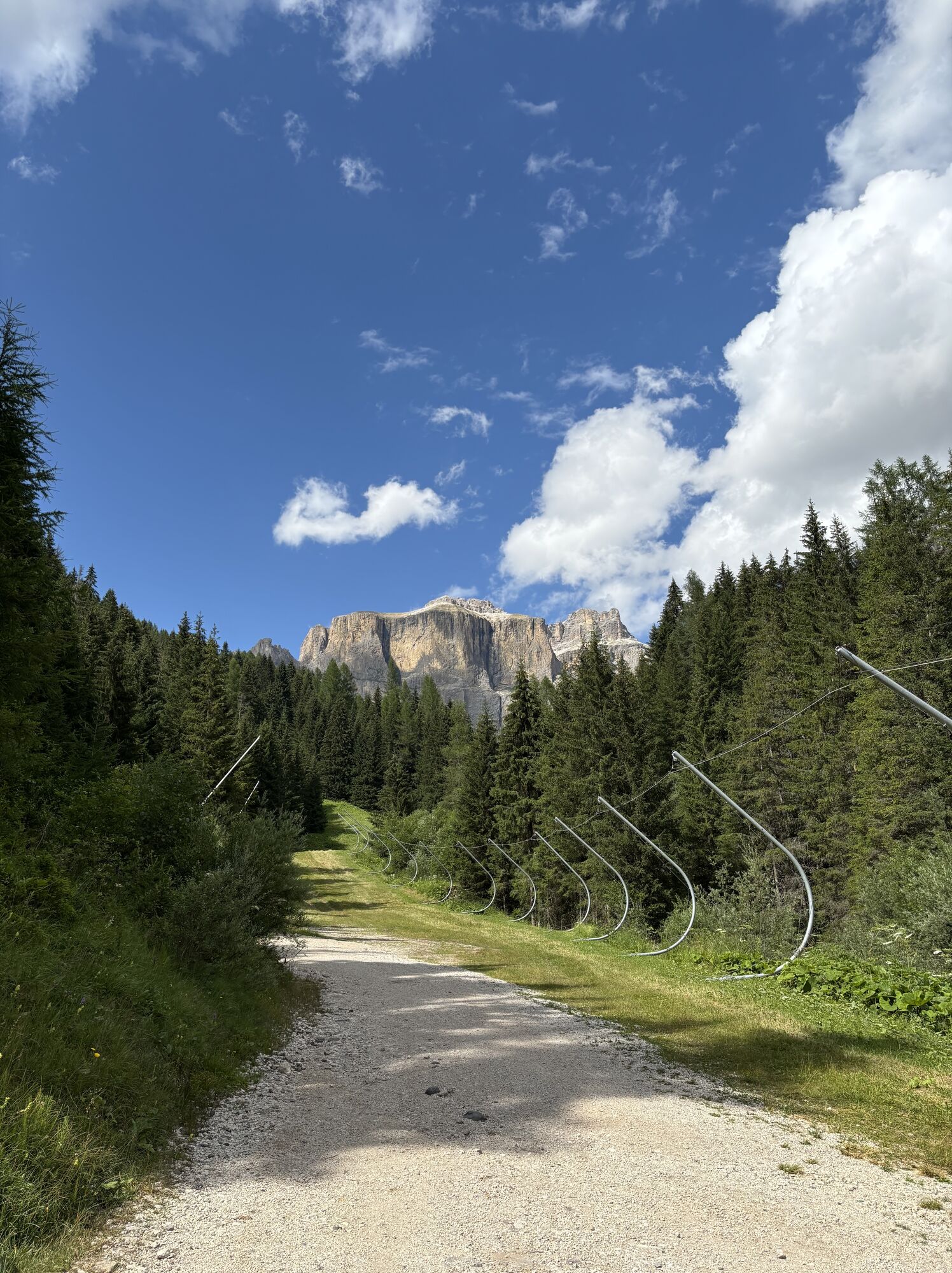
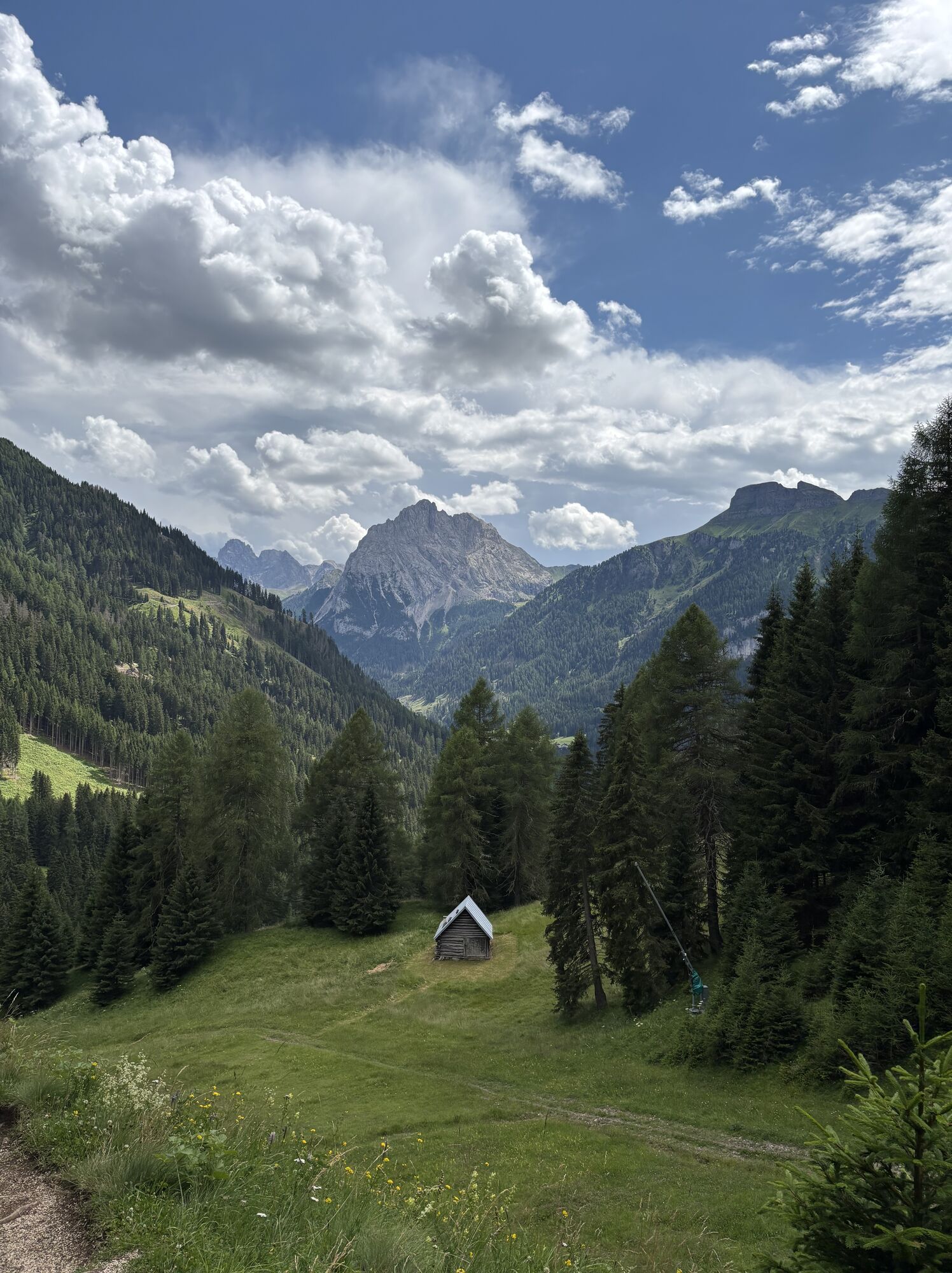
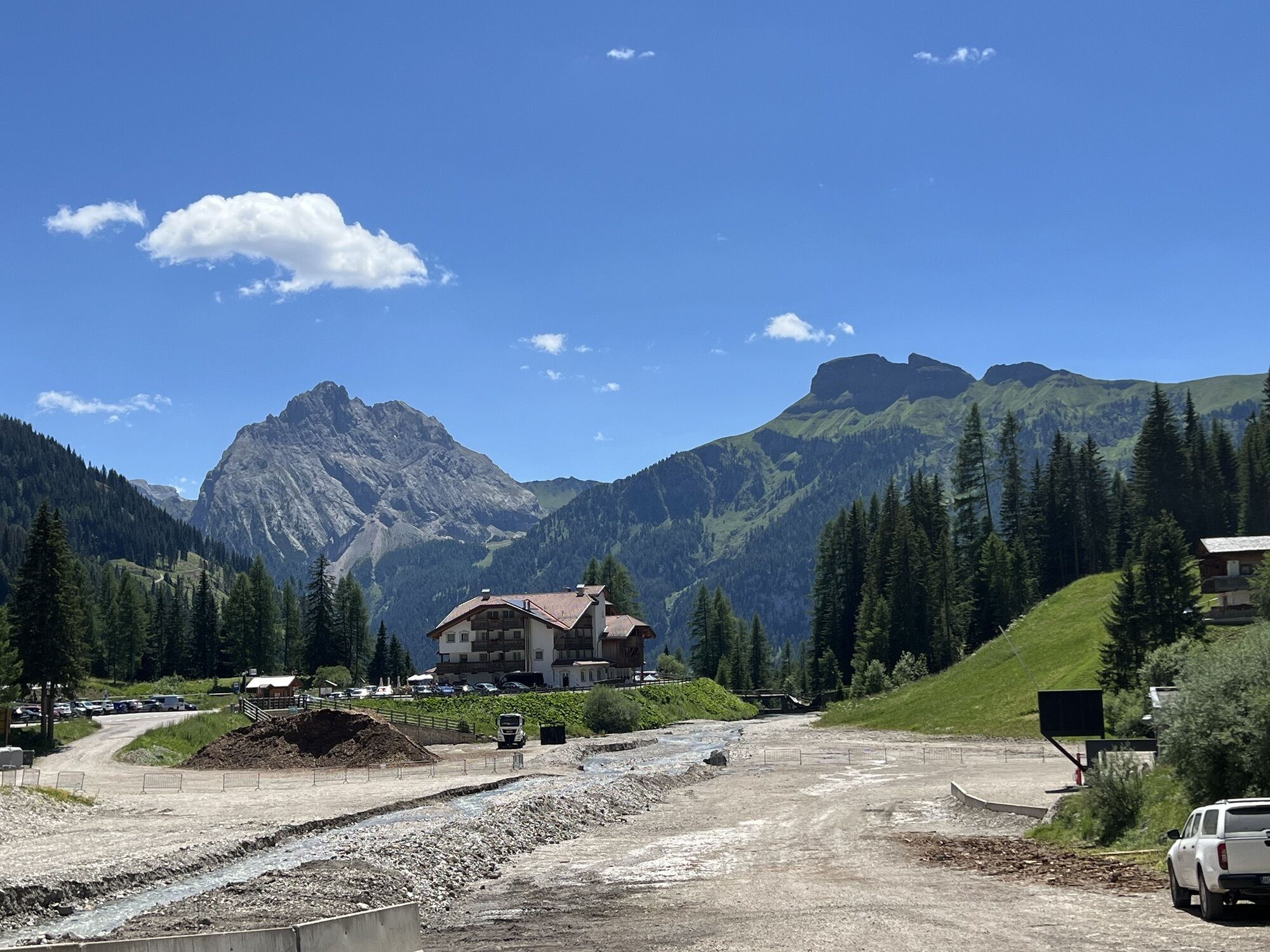
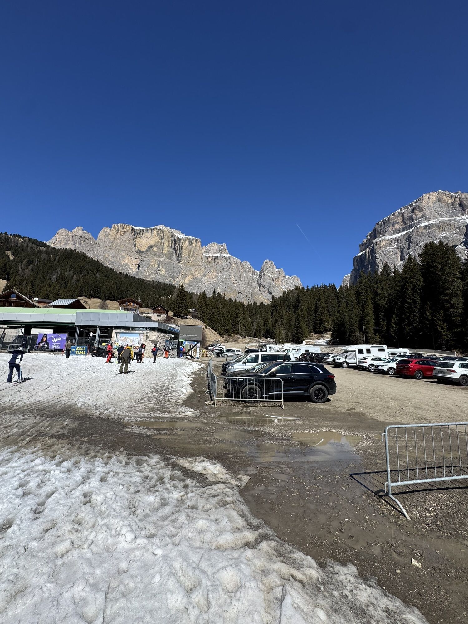
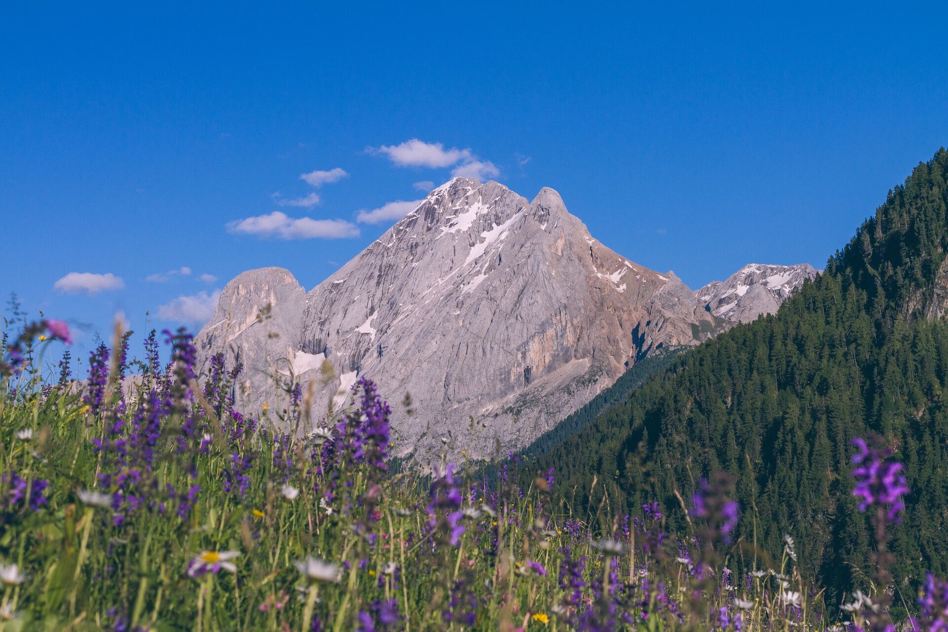
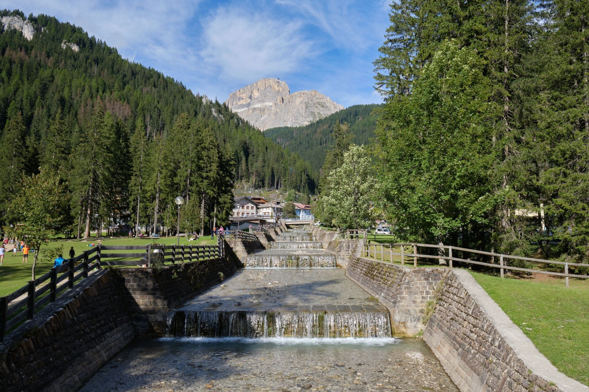
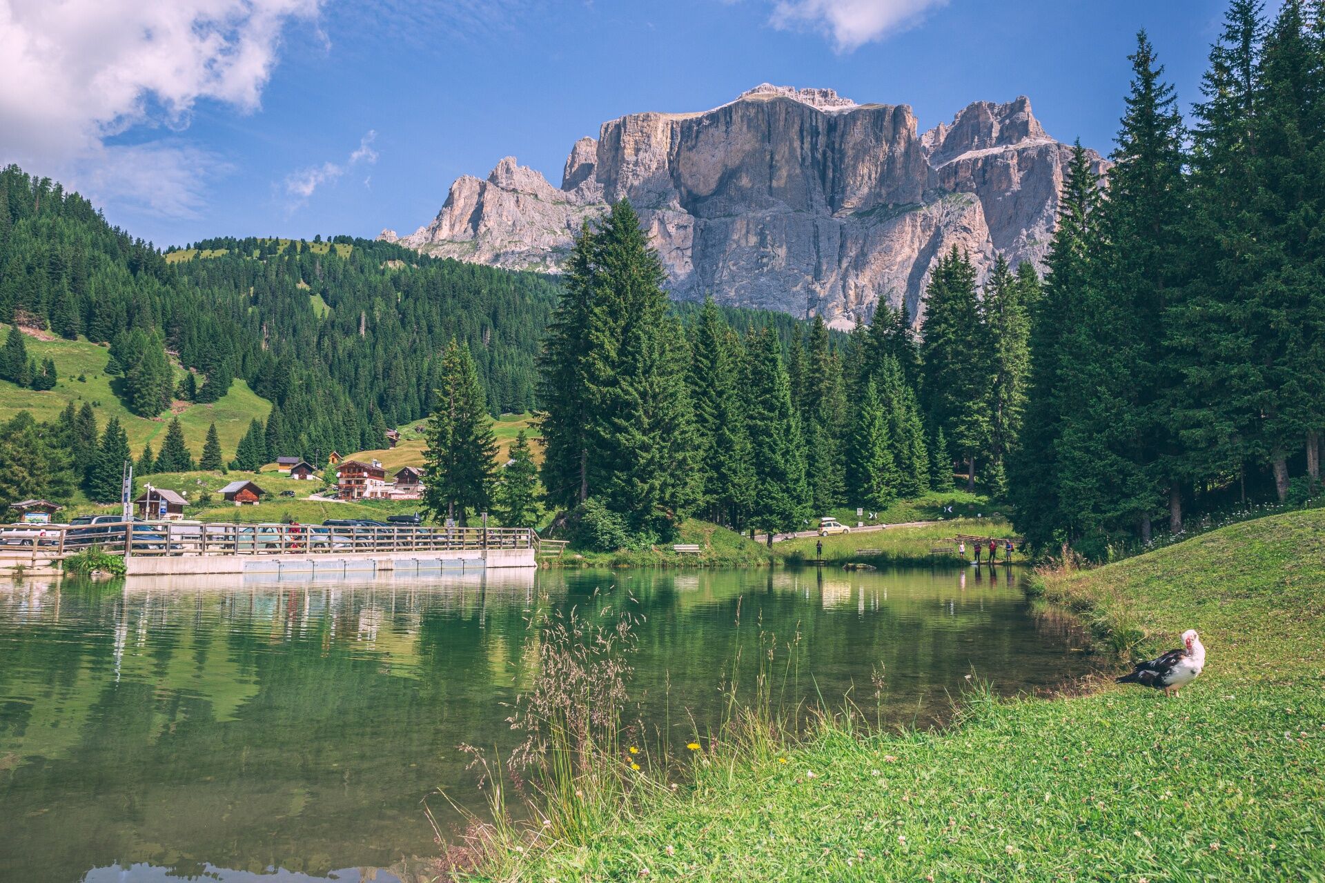
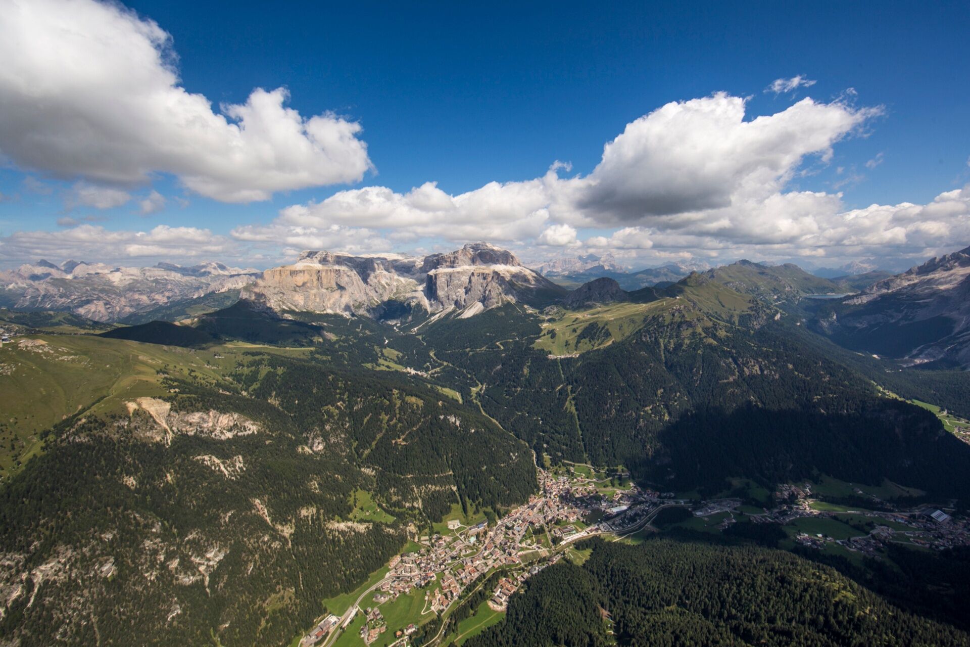
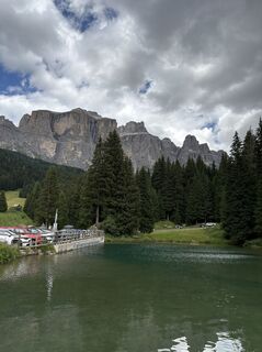
A path in the Val de Mortic, between Piz Ciavazes, Sass Pordoi and the Antersas of the majestic Sella, surrounded by the 4 Dolomite passes, is worth the hike by itself. Even on the hottest days, there...
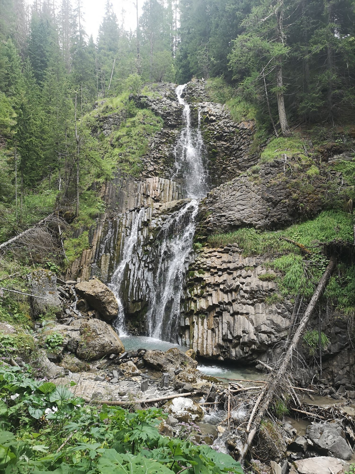
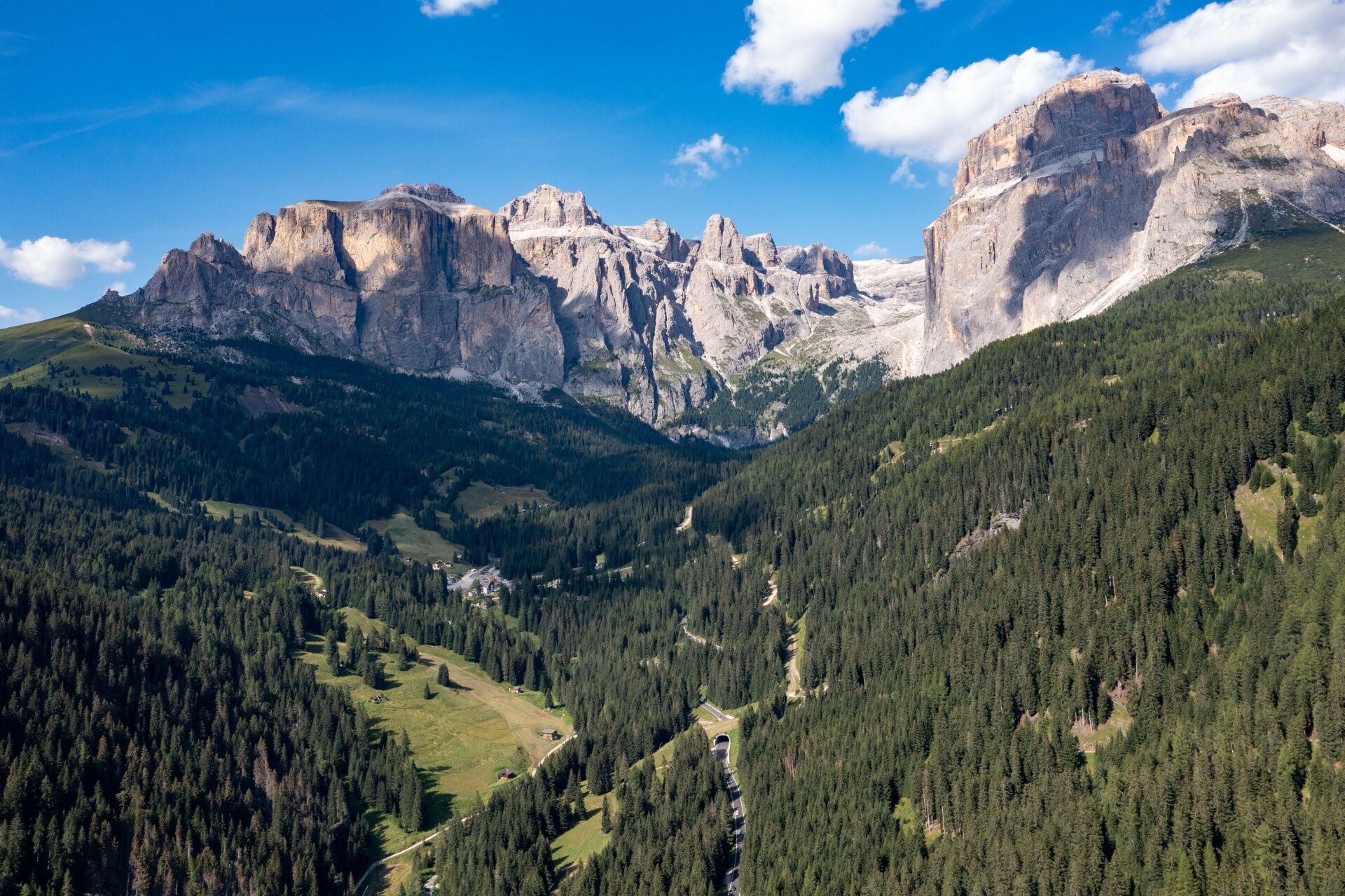
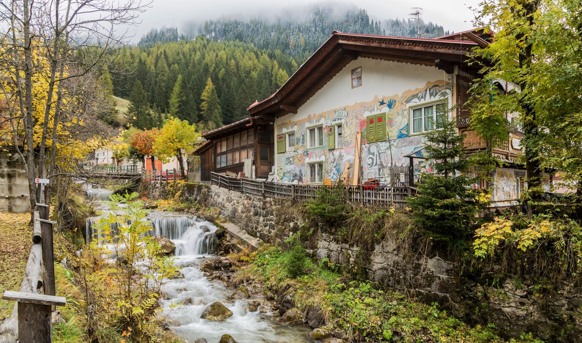
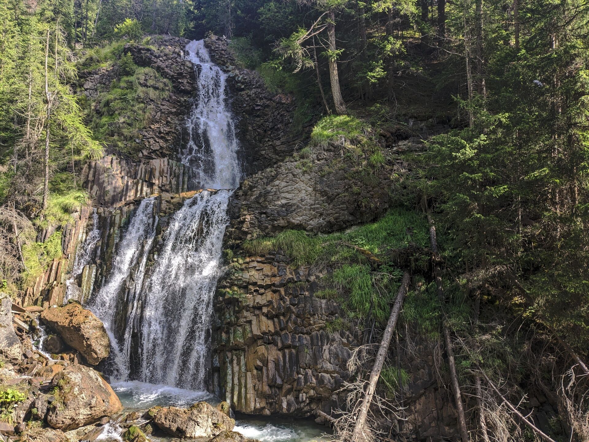
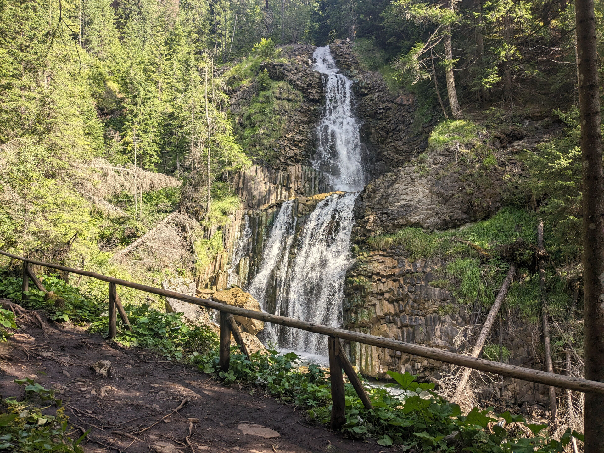
A path in the Val de Mortic, between Piz Ciavazes, Sass Pordoi and the Antersas of the majestic Sella, surrounded by the 4 Dolomite passes, is worth the hike by itself. Even on the hottest days, there is the forest and the continuous flow of water that reassures, relaxes, accompanies the step and refreshes thoughts and words. But the surprise is when you arrive at the waterfall. The water coming from the ruf de Antermont is alpine water, very fresh and clear, but here it does not flow over dolomite rock, which is a white carbonate, crystalline rock. The water plays on dark, almost black, shiny basalt columns. Basalt is an effusive rock not at all rare in the valley. What astonishes here is its shape. Vertical and horizontal stone columns that formed 250 million years ago by rapid cooling from the outside towards the inside of the surface. The very short solidification times contracted the material and created fissures so perfect that they continue to give an intense experience of nature.


Return:
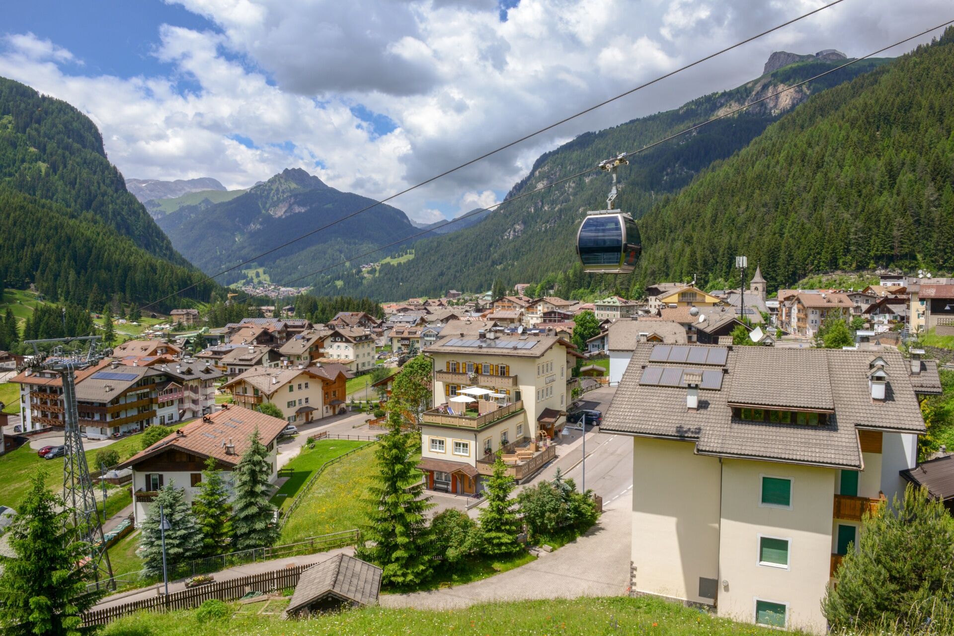
along the same route as the outward journey by bus (check dates and times of service)You can also do the route in the opposite direction, avoiding the uphill difference in altitude. In this case, from Canazei take the lifts up to "Col dei Rossi" (cable car + cable car). You descend on foot to the "Belvedere" basin. A second cable car takes you to "Pian de Frataces" ("Lupo Bianco"). Cross the road and ascend, on the opposite side, a section of the ski slope and then take a path to the left which, with steep serpentines, leads to the basalt waterfalls.
Tak
Tak
Carry in your backpack the necessary to face possible emergency situations, and a first aid kit.
2.Walk slowly, enjoy the landscape and the silence.
3. Inform somebody about your itinerary, return time and possible changes.
4. Rely on professionals (mountain and hiking guides).
5. Help those in need. Call 112 only in case of real necessity.
6. Make sure you have suitable clothes and equipment + some water and snacks.
7. Respect the environment around you and its inhabitants. Bring back your rubbish.
8. Follow the marked trails avoiding those in the bikepark.
9. To protect the wonders of nature, leave everything in its place.
10. Bring your pet along, but keep it on a leash.
Other access points to Val di Fassa:
from A27 motorway (Venezia), exit Belluno/Ponte nelle Alpi, S.S. 203 to Agordo and S.P. 346 to San Pellegrino Pass - Moena (Val di Fassa). At the roundabout in Moena, proceed towards Canazei from A27 motorway (Venezia), exit Belluno/Ponte nelle Alpi, S.S. 203 to Agordo/Alleghe/Rocca Pietore. S.P. 641 to Fedaia Pass - Canazei coming from Arabba, S.S. 48 to Pordoi Pass - Canazei from Val Gardena, S.S. 242 to Sella Pass - CanazeiPublic transport lines SAD - Val di Fassa:â¯
line no. 180 Vigo di Fassa - Carezza Pass - Bolzano line no. 471 Dolomites passes (Sella Pass, Gardena Pass, Campolongo Pass, Pordoi Pass, Fedaia Pass). Service available in summer only- Nearest bus stop (Trentino Trasporti): Canazei > Piaz G. Marconi (square)
Parking at the Dòlaondes Aquatic Centre.
Strèda Roma, 36
38032 Canazei (TN)
Phone +39 0462 609500
info@fassa.com
www.fassa.com
No refreshment points along the route.

Kamery internetowe z trasy
-
Plan de Gralba
-
Col dei Rossi
-
Val Gardena - Citta dei Sassi
-
Canazei - Col dei Rossi
-
Canazei - Col dei Rossi
-
Canazei - Col dei Rossi
-
Canazei - Col Rodella
-
Canazei - Col dei Rossi
-
Canazei - Col dei Rossi
-
Canazei - Col dei Rossi
-
Canazei - Col dei Rossi
-
Canazei - Col dei Rossi
-
Canazei - Ciampac
-
Piz Sella
-
Canazei - Ciampac
-
Canazei - Ciampac
-
Canazei - Ciampac
-
Canazei - Col dei Rossi
-
Canazei - Col dei Rossi
-
Canazei - Col dei Rossi
-
Canazei - Col dei Rossi
-
Canazei - Col dei Rossi
-
Val Gardena Sasso Levante
-
Sass Pordoi
-
Val Gardena Piz Sella
Uzyskaj wgląd
Zawsze na żywo z ponad 9 500 kamer internetowych. bergfex Jako użytkownik Pro, możesz teraz zobaczyć odpowiednie kamery internetowe dla wielu wycieczek w aplikacji wycieczki od. Pozwala to na bezpośredni podgląd aktualnych warunków.


Popularne wycieczki w okolicy
-
4,7
The Munkelweg trail beneath the Geisler peaks
średniWędrówka 9,11 km -
4,7
Pordoi Pass - Sass Pordoi - Forcella Pordoi - Piz Boè - Boè Refuge - Forcella Pordoi - Pordoi Pass
ciężkiWędrówka 8,39 km -
5,0
Langkofel Klettersteig/Ferrata Furcela de Saslonch
ciężkiVia ferrata 7,07 km -
5,0
Um den Langkofel
średniWędrówka 9,76 km -
4,0
Der Friedrich-August-Weg
średniWędrówka 10,4 km -
4,9
Lang- und Plattkofel Umrundung
średniWędrówka 17,5 km -
4,9
Santnerpass Klettersteig
średniVia ferrata 8,29 km -
4,8
Langkofel-Umrundung
średniWędrówka 12,9 km -
4,8
Vom Col Raiser über die Seceda und Pieralongia zur Regensburger Hütte
średniWędrówka 10,4 km -
4,8
Pisciadùsteig Sella Gruppe
średniVia ferrata 7,15 km
Wędrówki i tropienie


Nie przegap ofert i inspiracji na następne wakacje
Twój adres e-mail została dodana do listy mailingowej.





