






Mazzin - Val de Udai - Camerloi - Val de Dona - Res. Solaria - Mazzin



From the centre of Mazzin go up along "Strèda dò Ru"f and then continue along the forest road called Val de Udai (path no. 580). The road climbs fairly steeply along the stream of the same name. There...
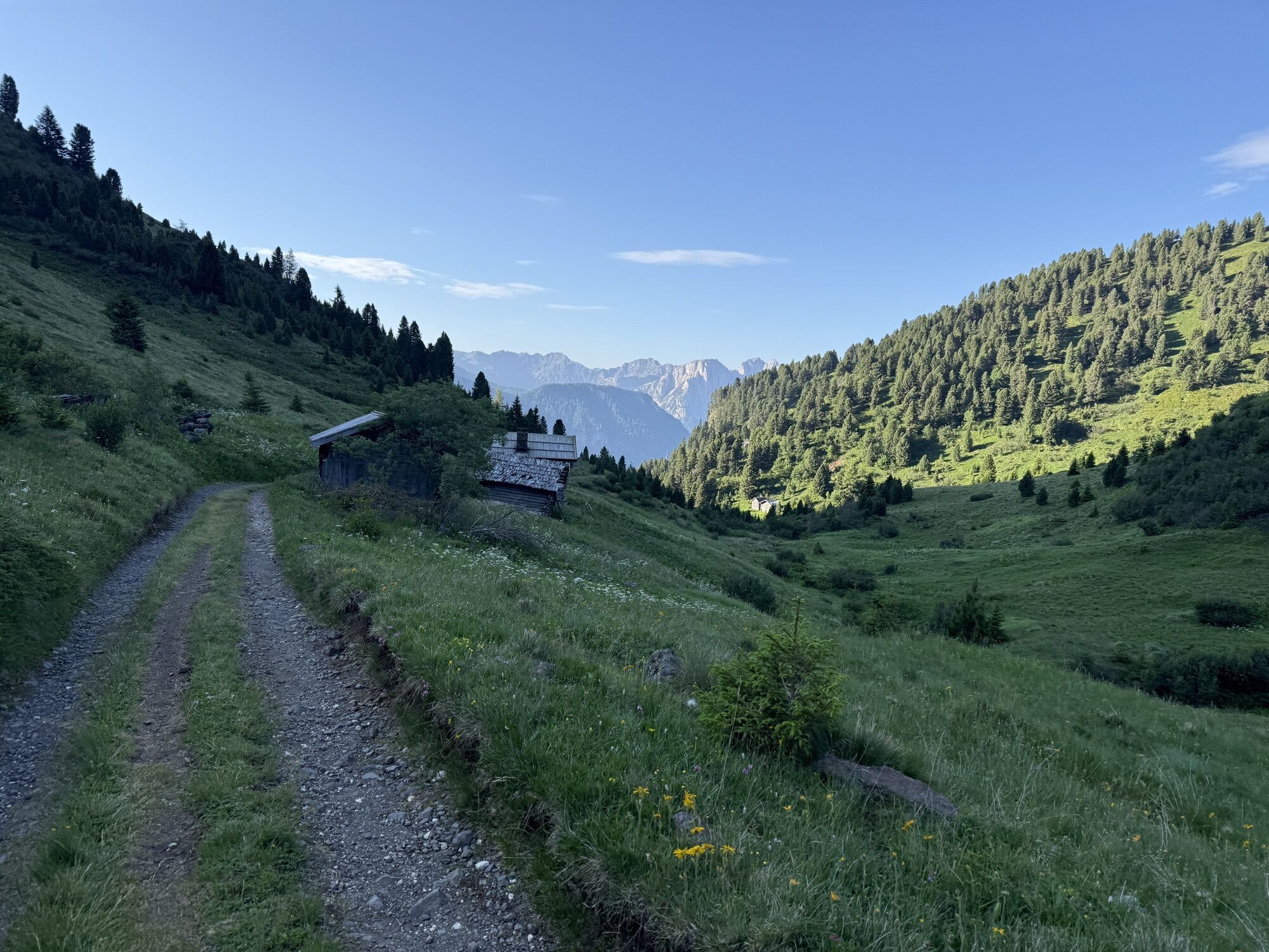
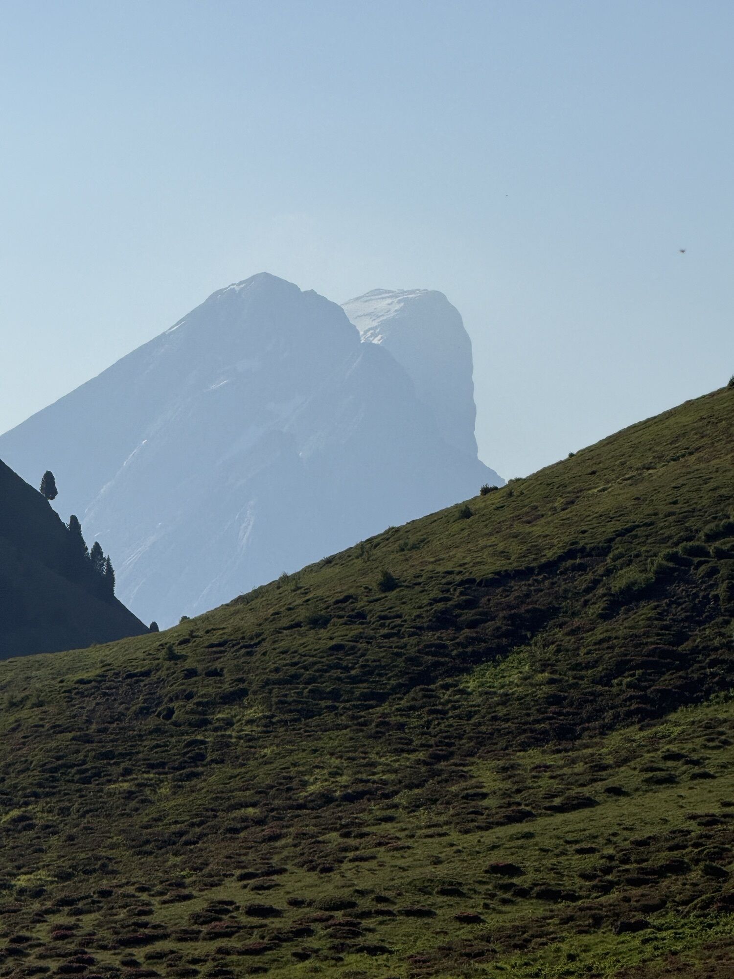
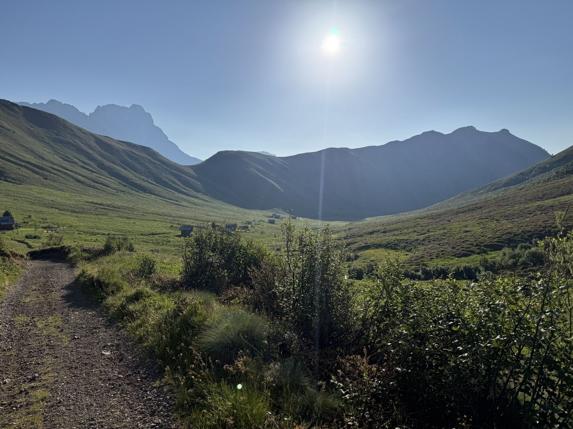
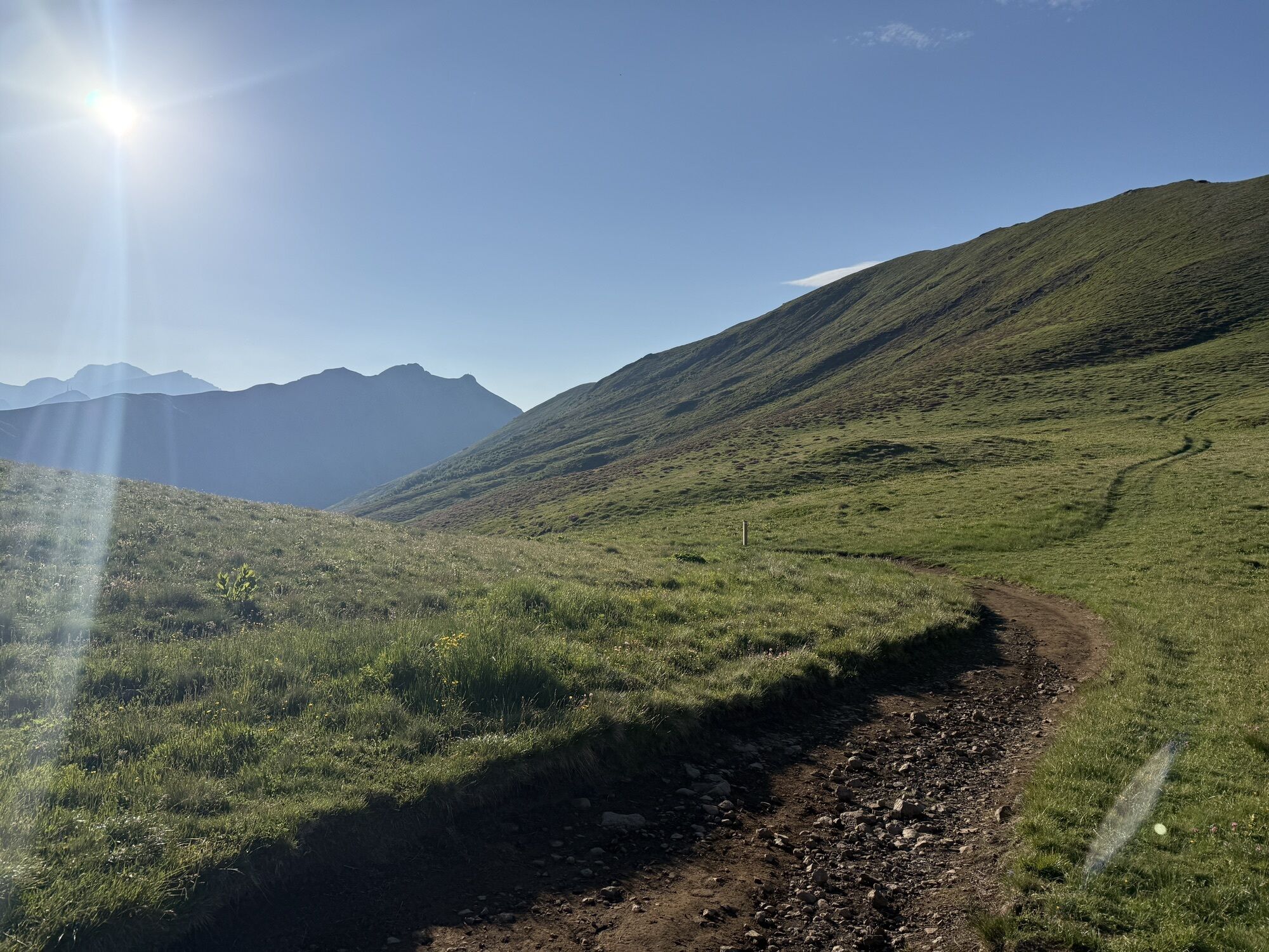
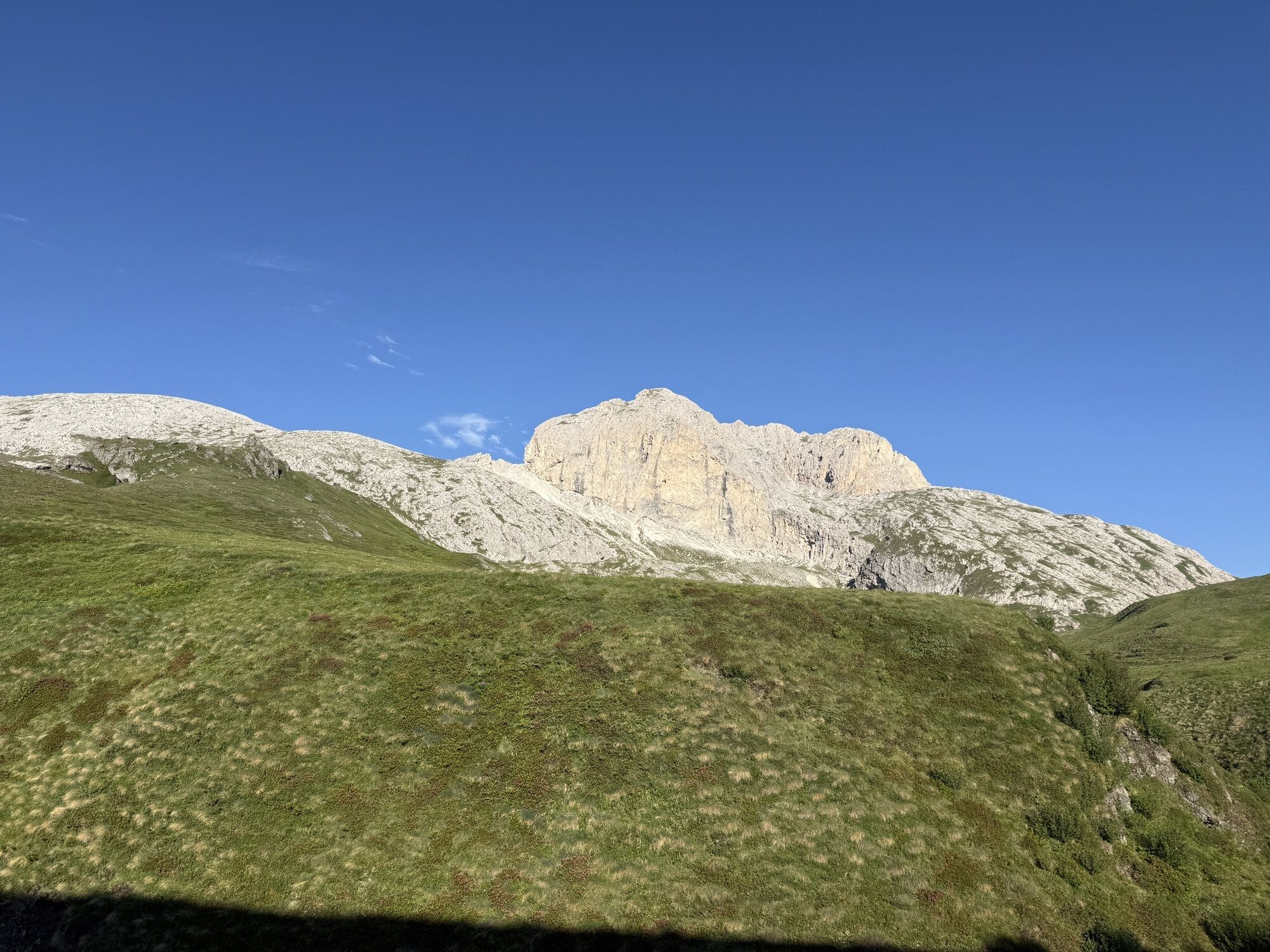
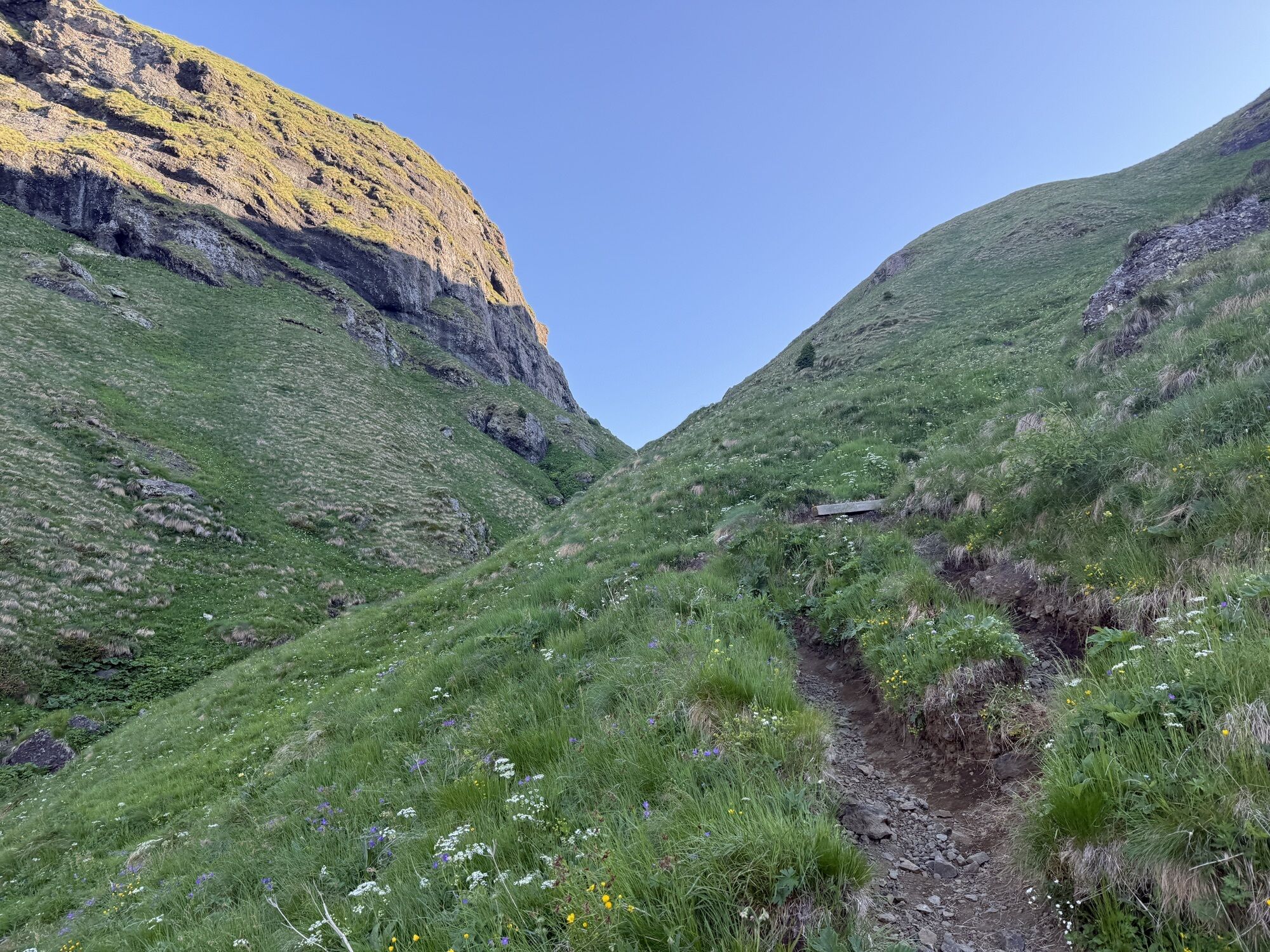
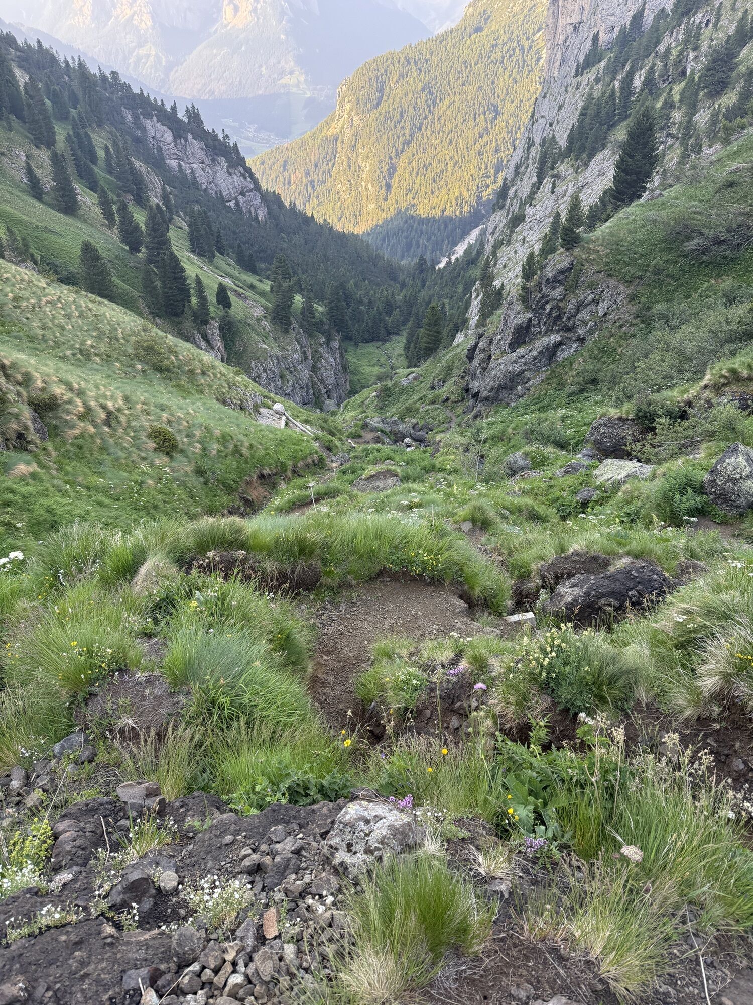
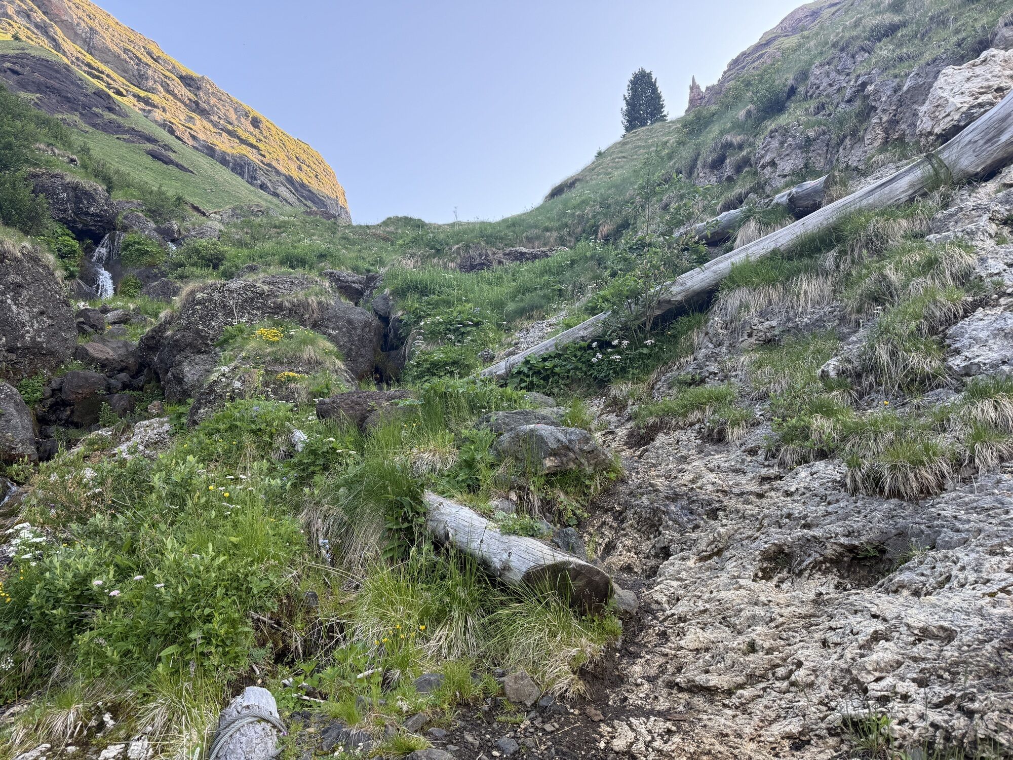
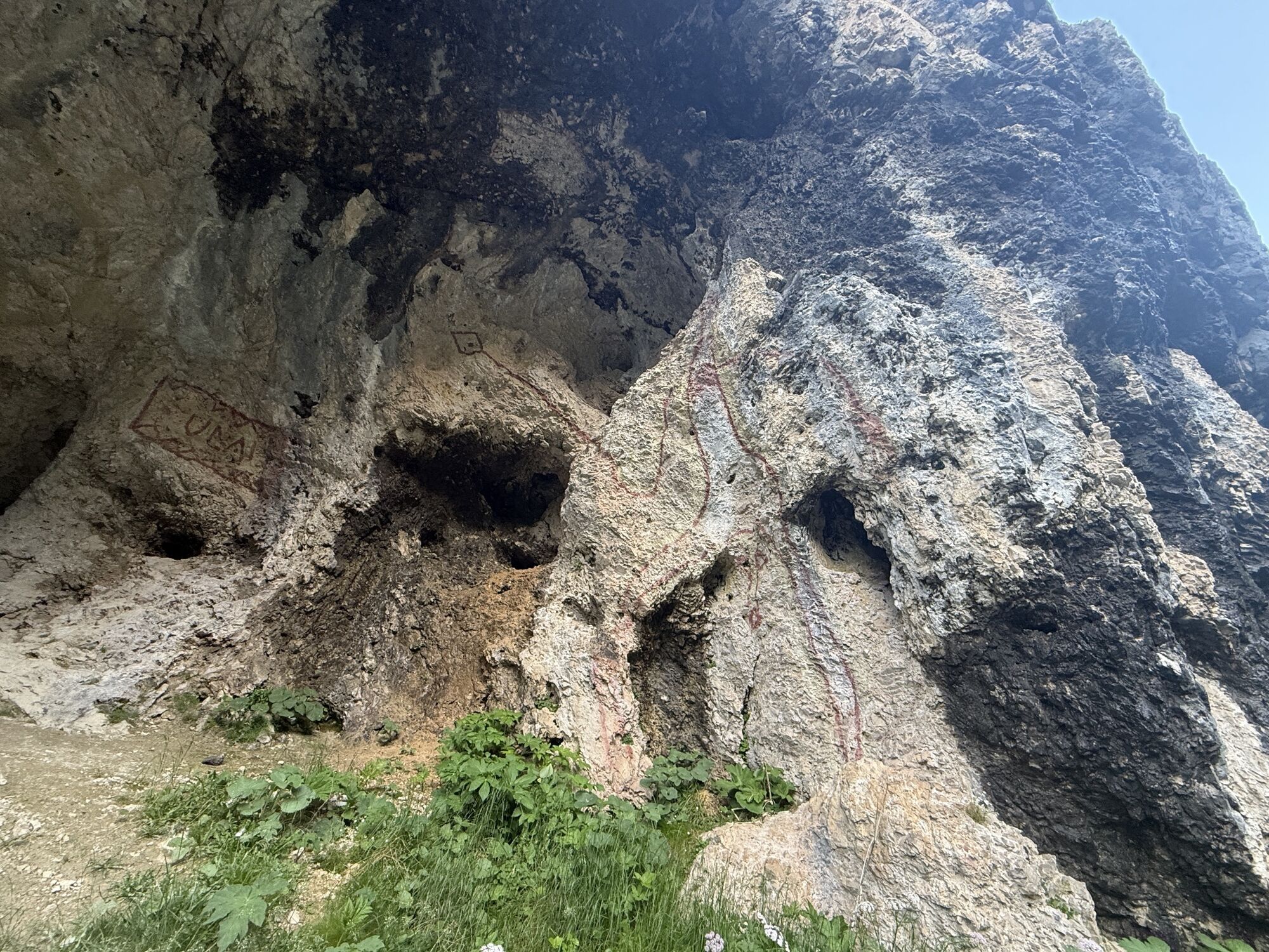
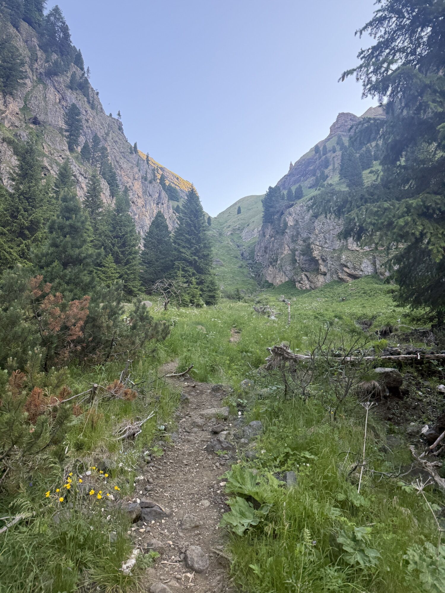
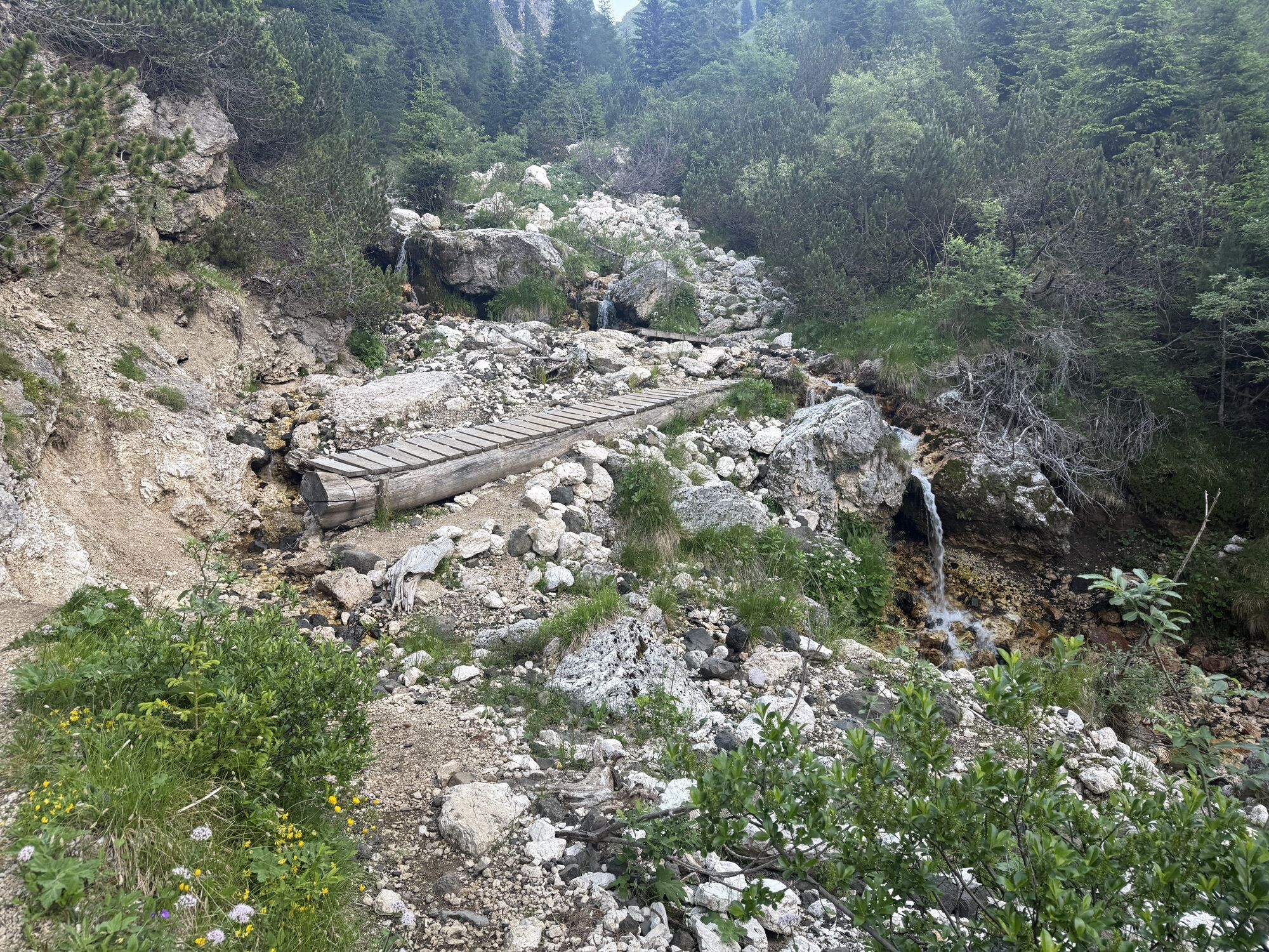
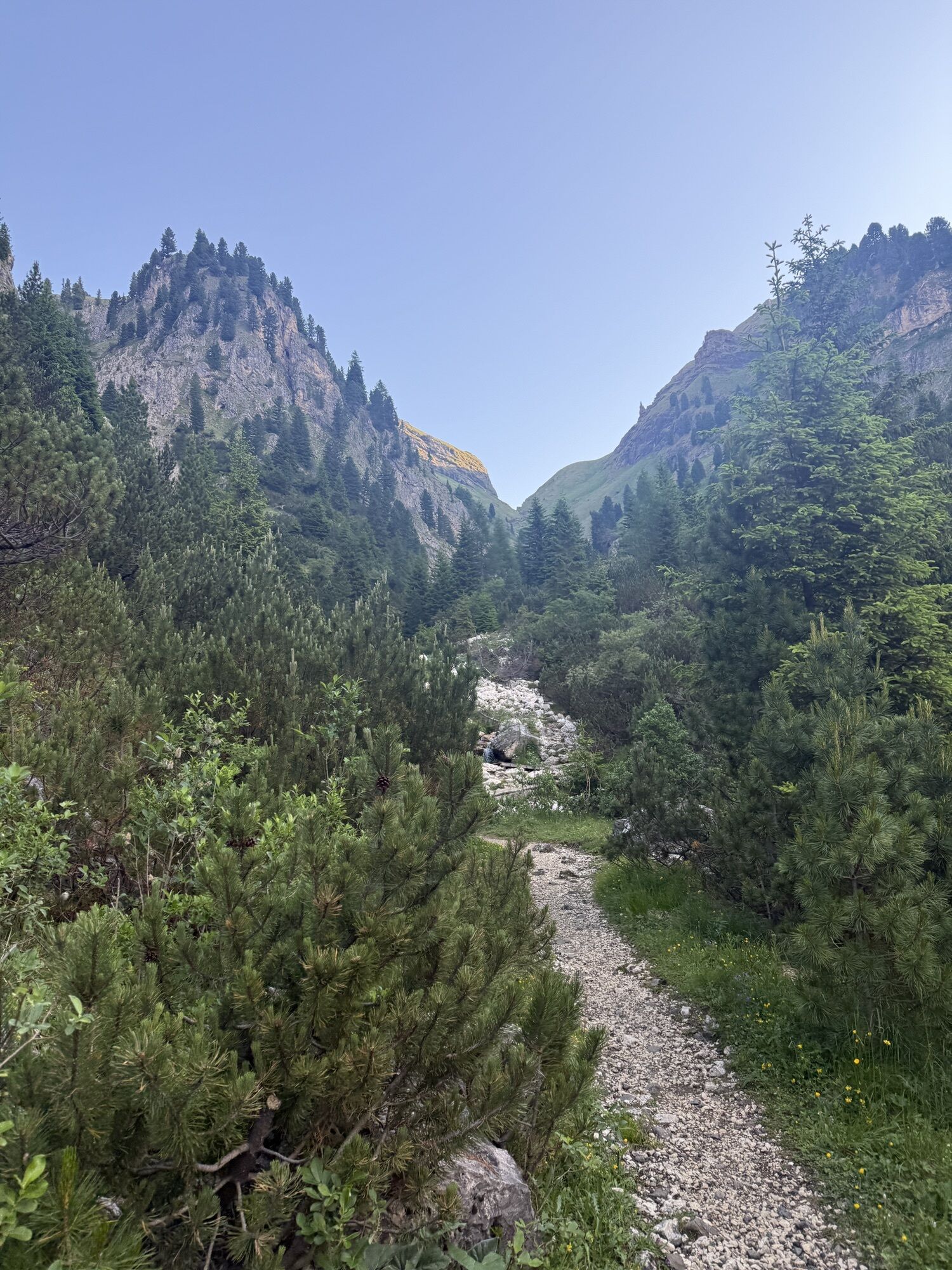
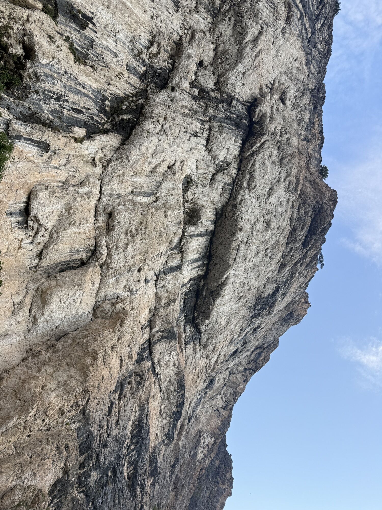
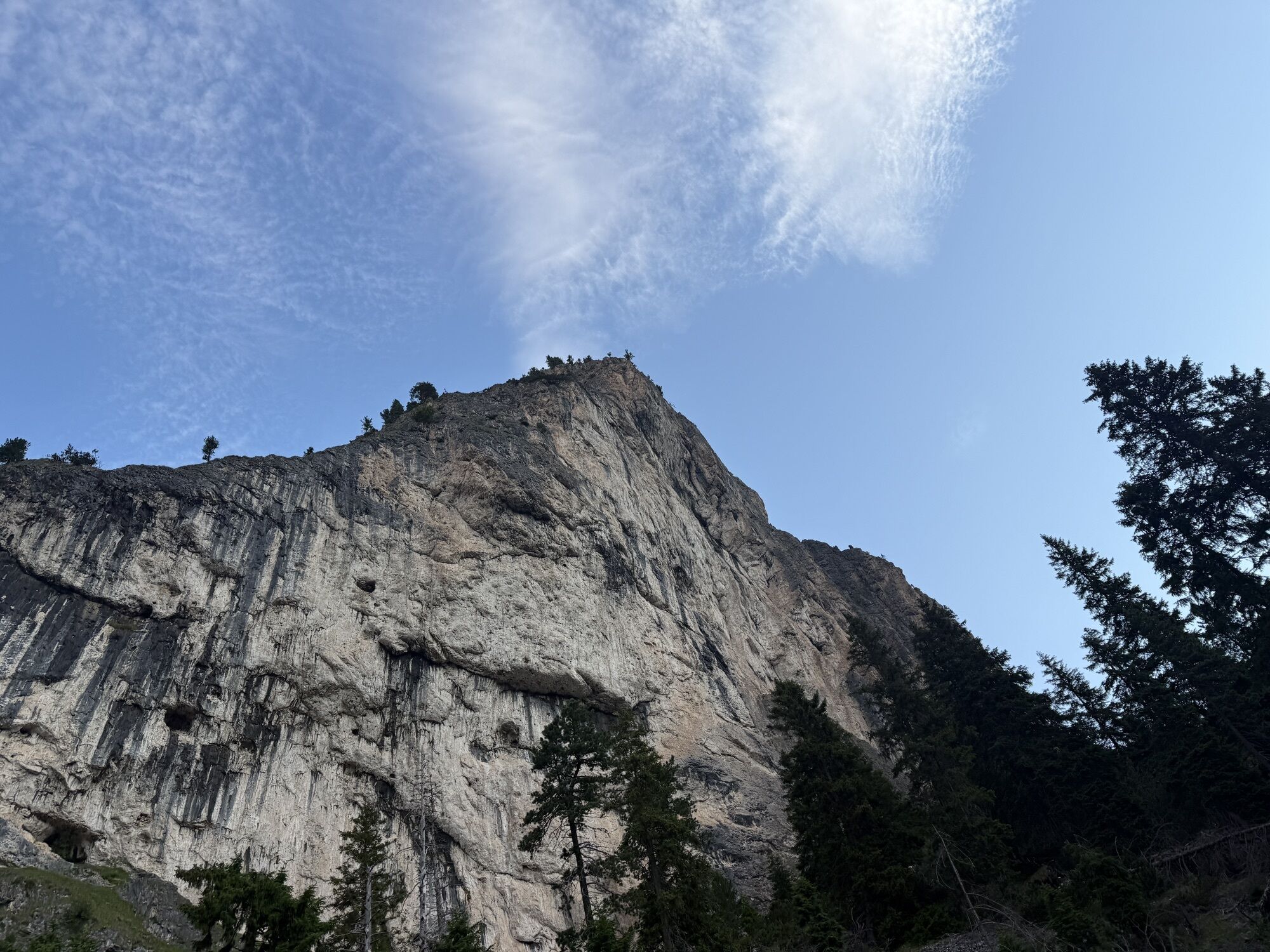
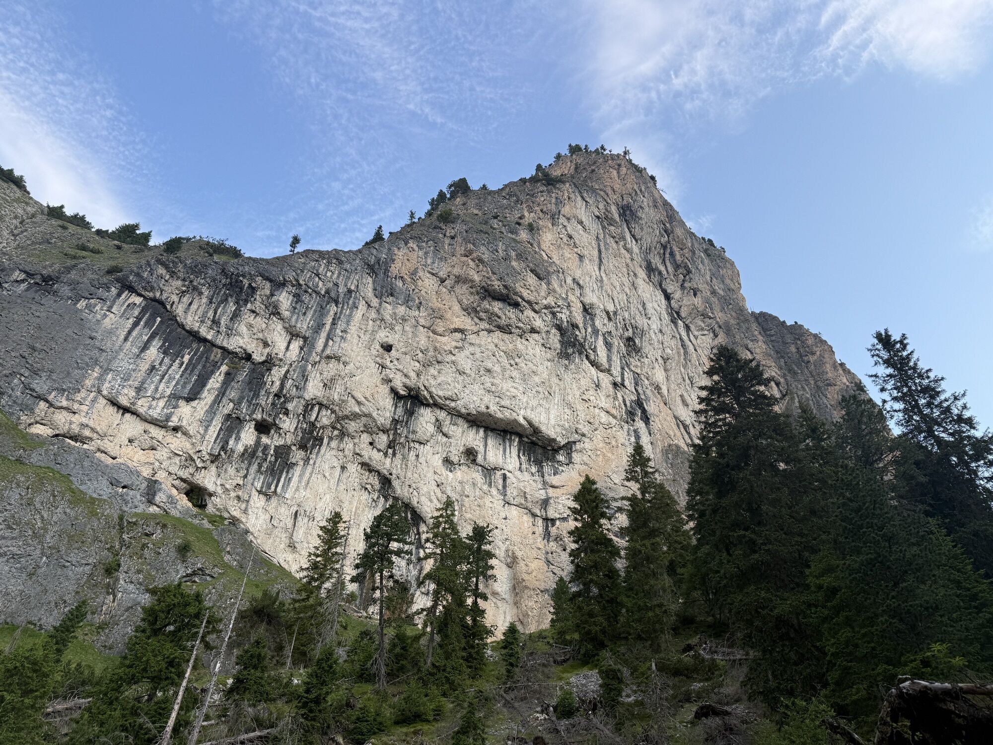
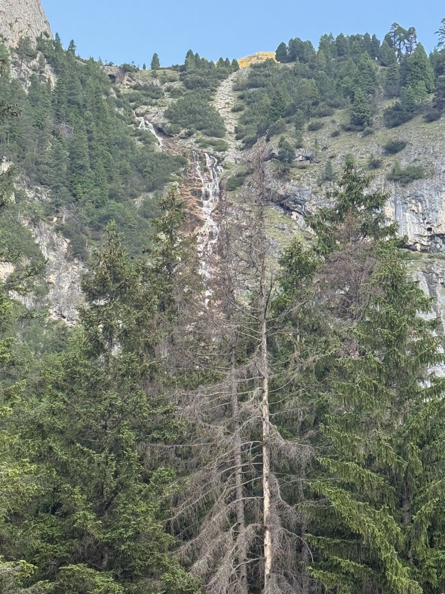
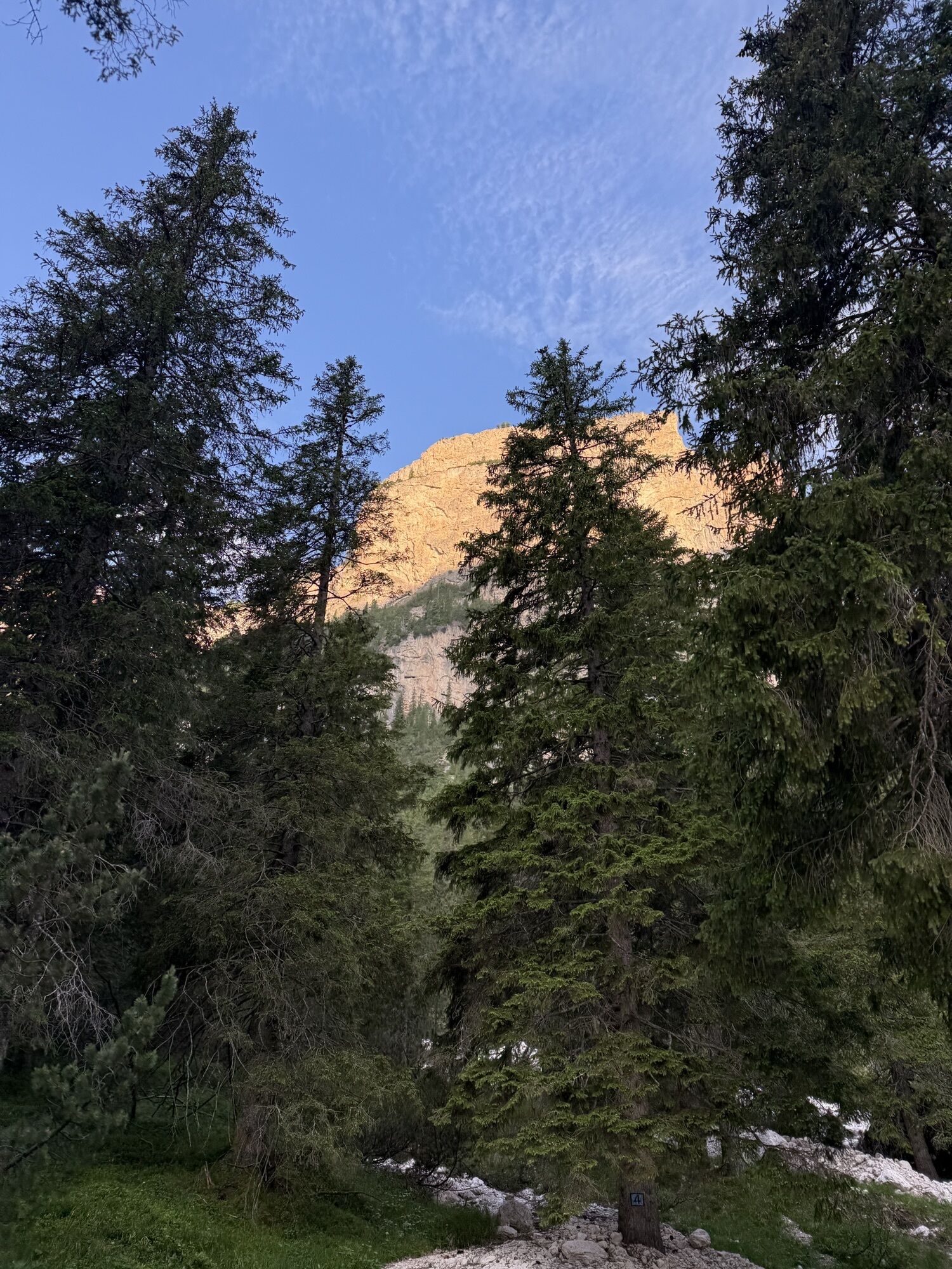
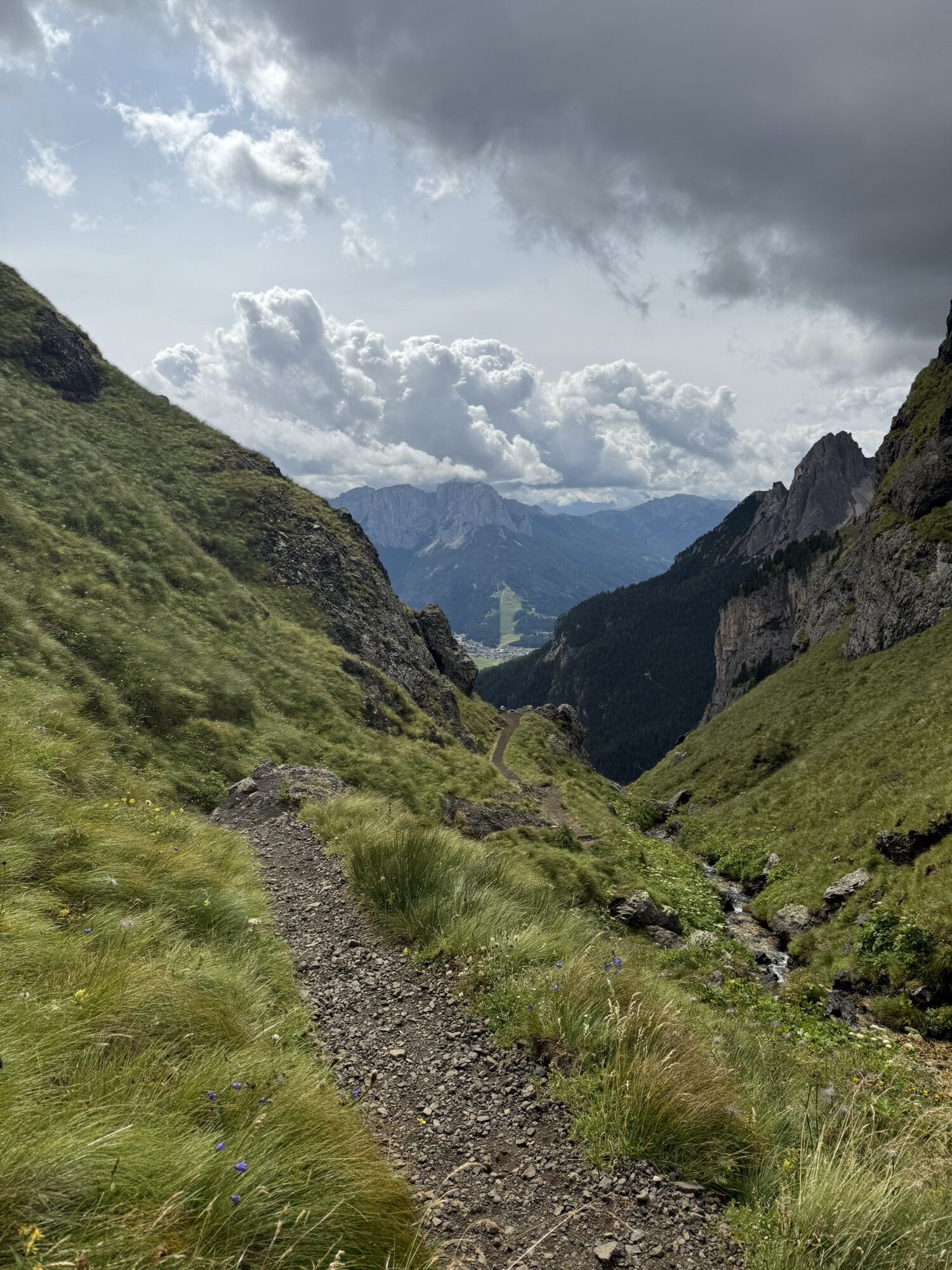
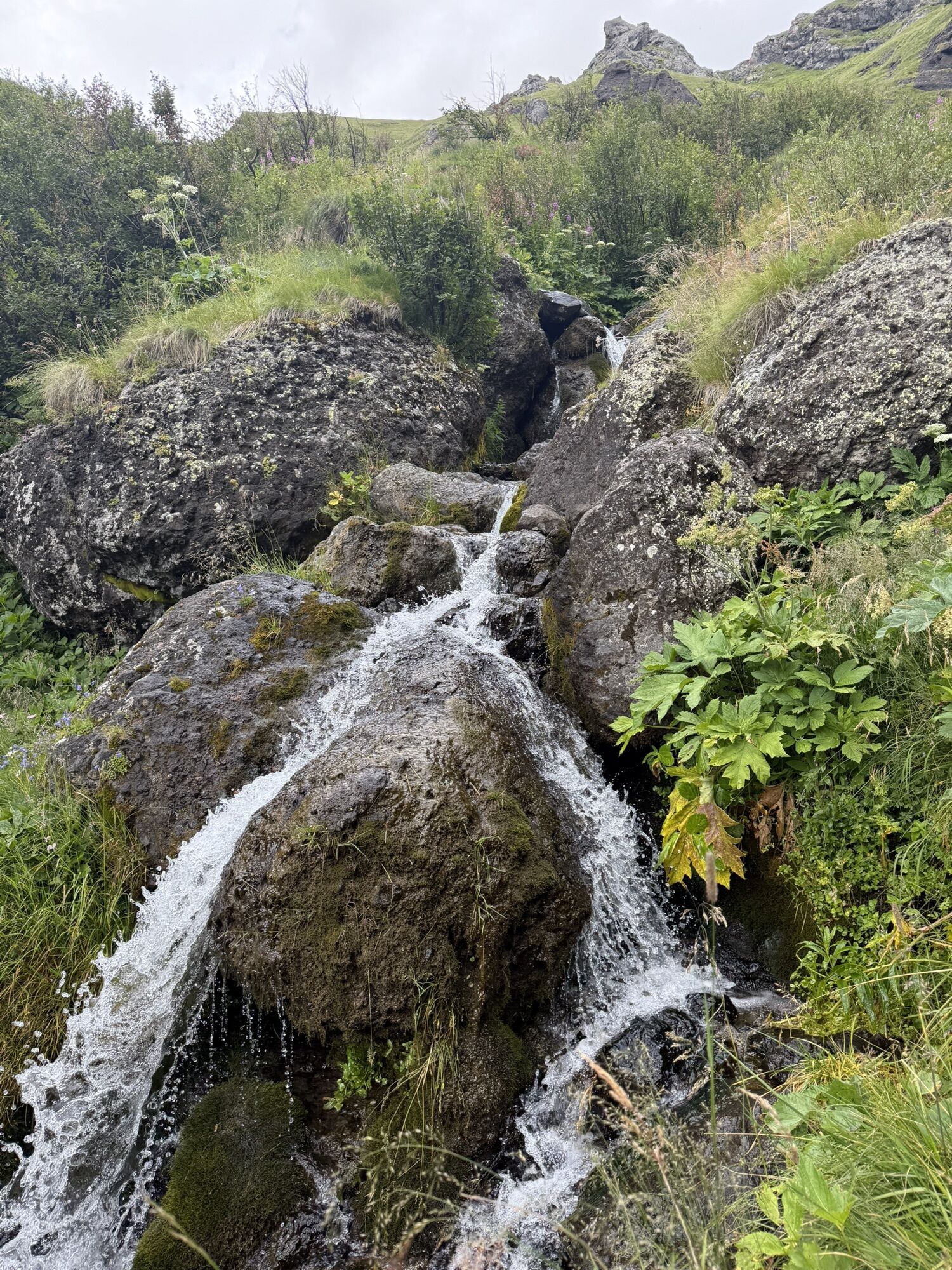
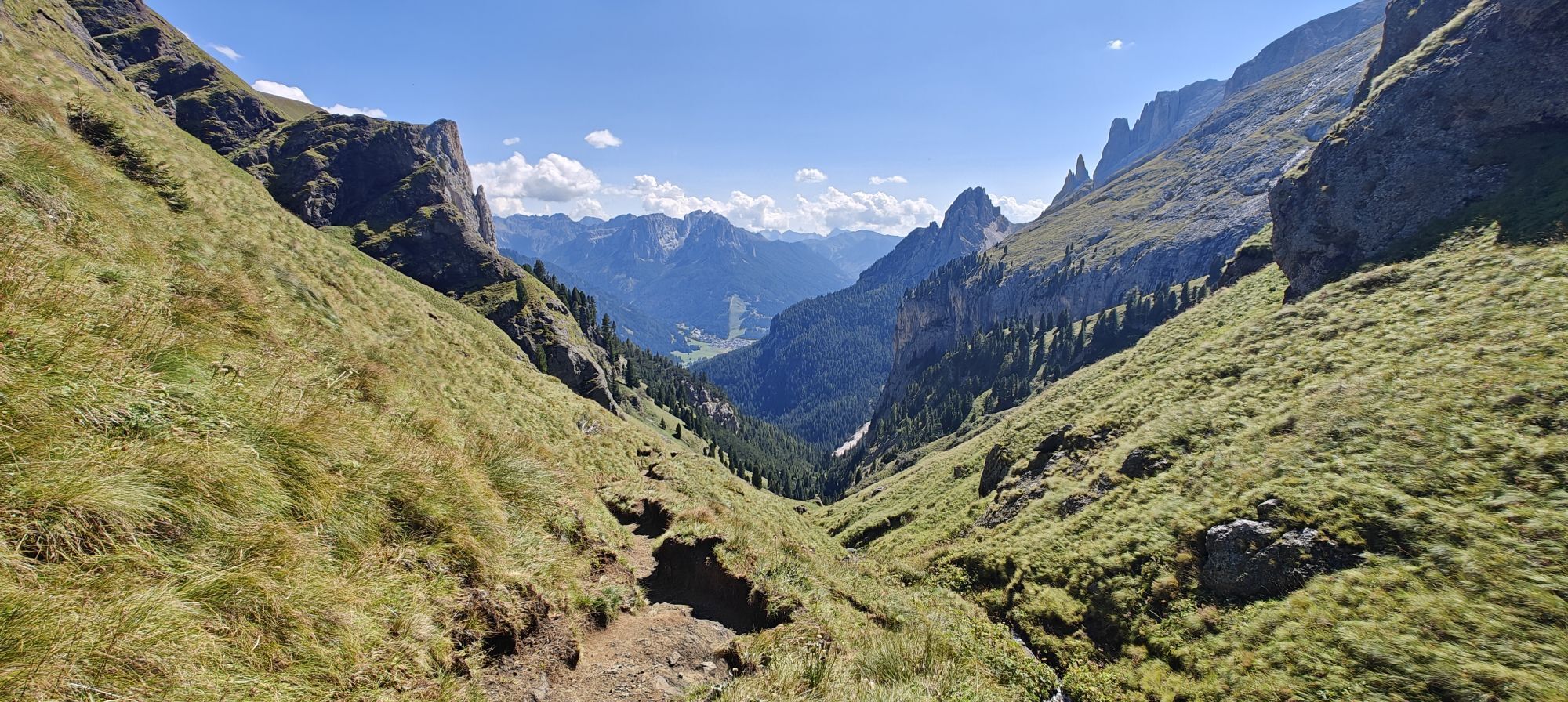
From the centre of Mazzin go up along "Strèda dò Ru"f and then continue along the forest road called Val de Udai (path no. 580). The road climbs fairly steeply along the stream of the same name. There is a bridge which takes you over to the other bank, and then the road becomes very steep indeed, just before meeting up with path no. 579 which comes from "Ronch" (Muncion). Shortly after this you come to a flat section where you will have to cross the brilliantly white scree which runs across the pathway. Next you cross the stream and then you go back into the woods to follow the rough track. The "Zocol" face is visible together with the spectacular waterfalls known as "l Pis" (or "Soscorza") and the "Spina da Lèch", and eventually you pass right under the rock face. Now the path eases off, and a series of bends help to gain altitude comfortably. You cross the stream once more and then get to the "Pian de Udai", a basin which boasts a good number of flowers. Once again the climb becomes taxing and the path crosses the stream several times. The rocks to the left are volcanic in origin and the gullies on the right come down from the "Dò Ciuril" mountain. The final climb brings you out on the upper Val de Dona. You return by descending the Val de Dona to the right (path no. 577). At the junction of the forest road coming from Mazzin, you follow it as you exit the forest near Residence Solaria.

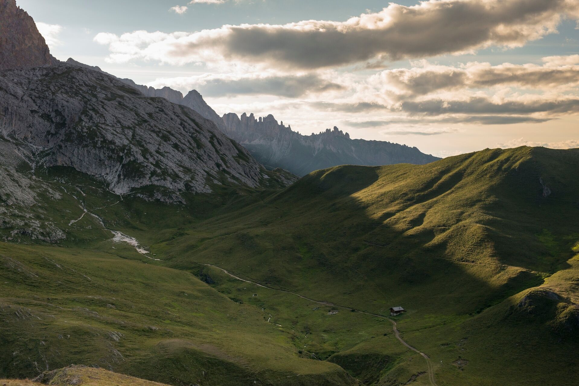
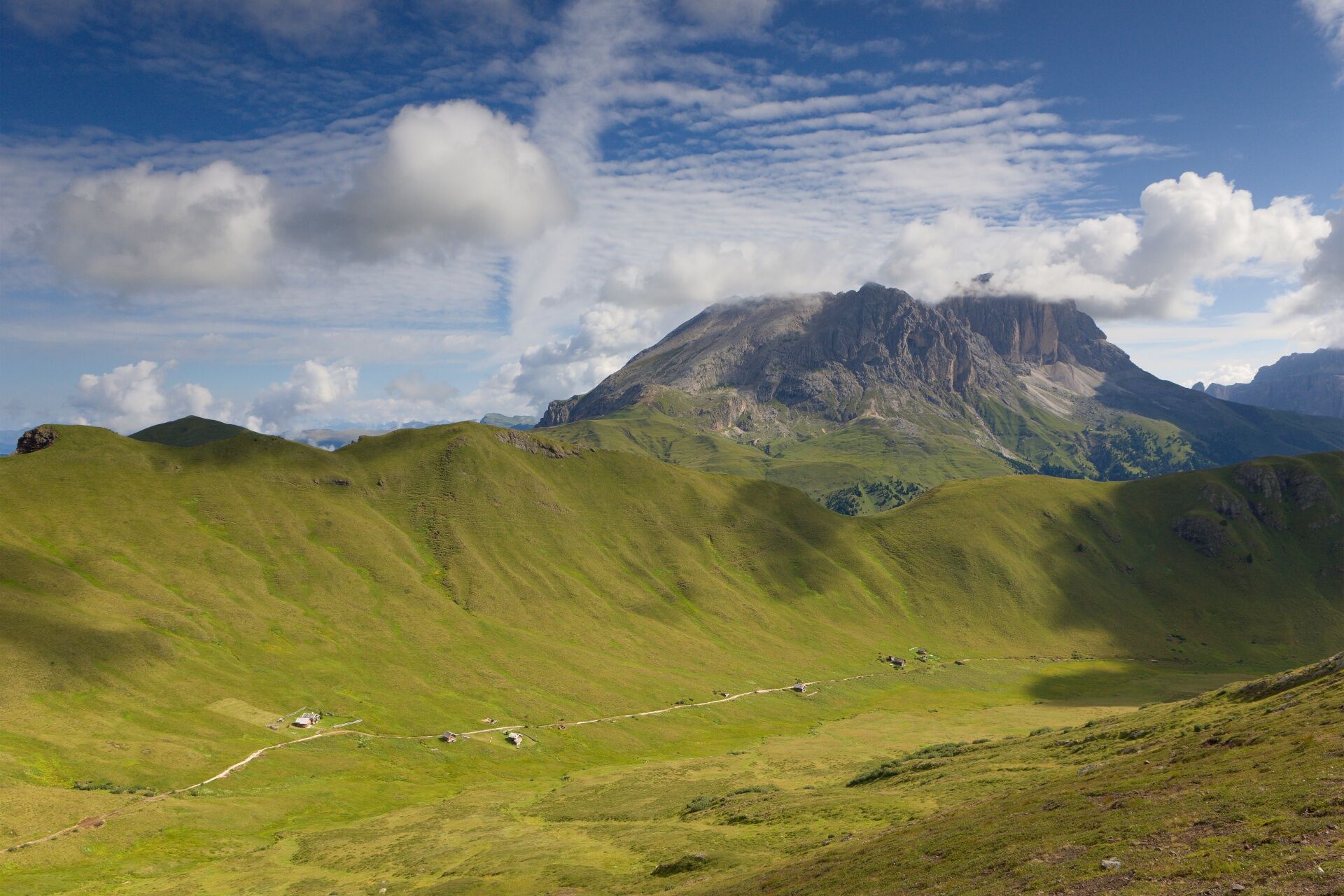
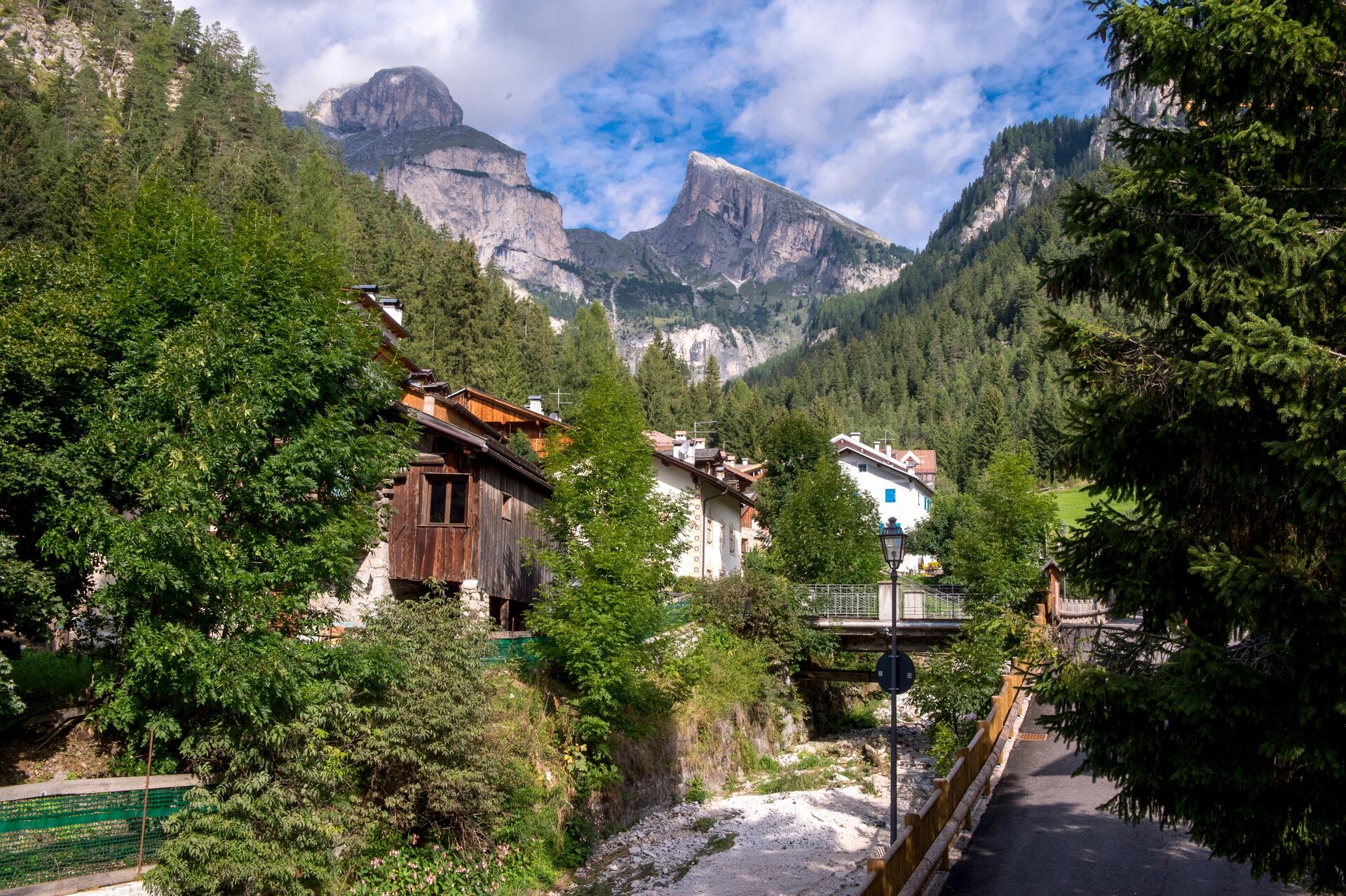
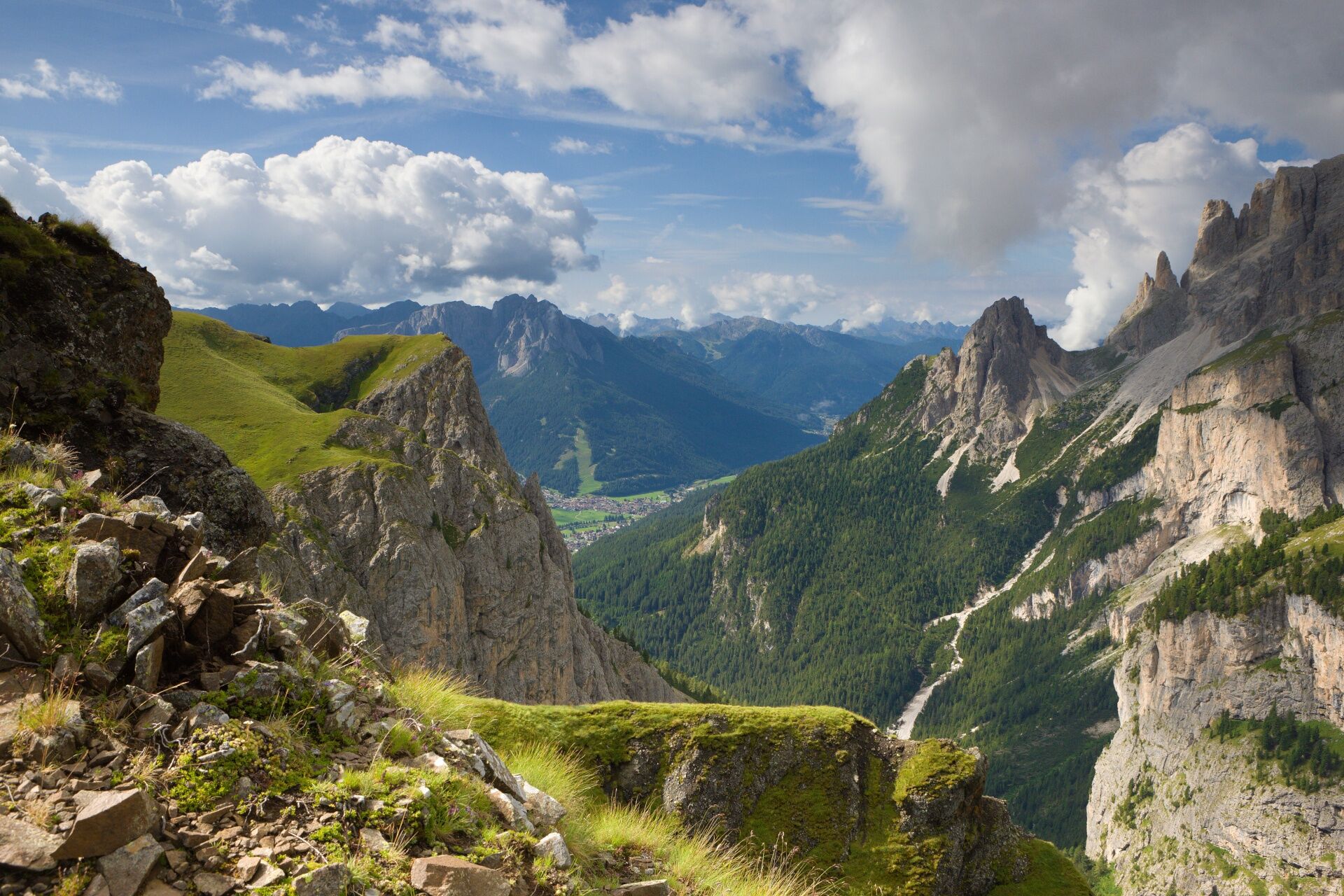
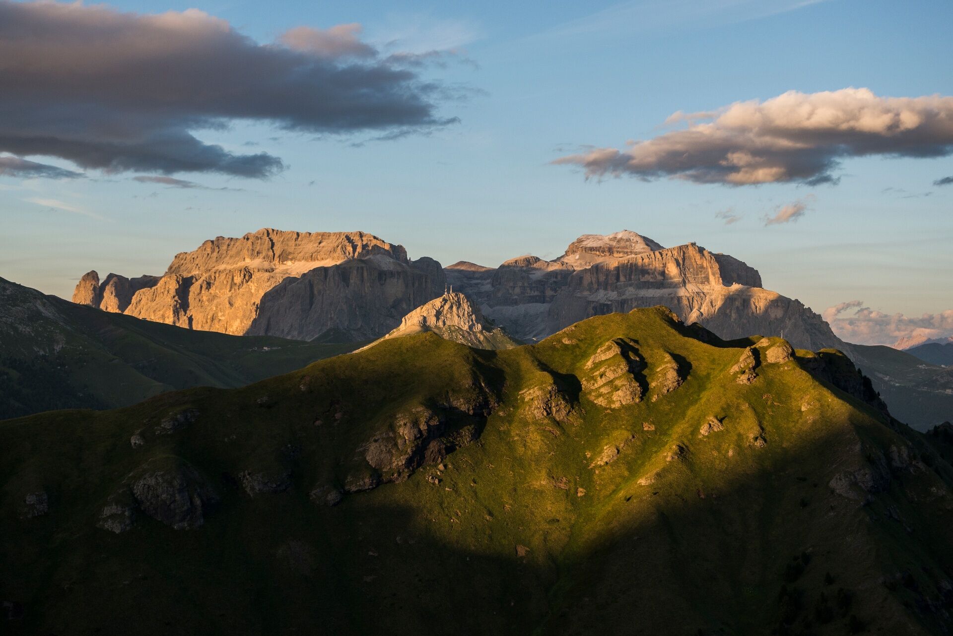
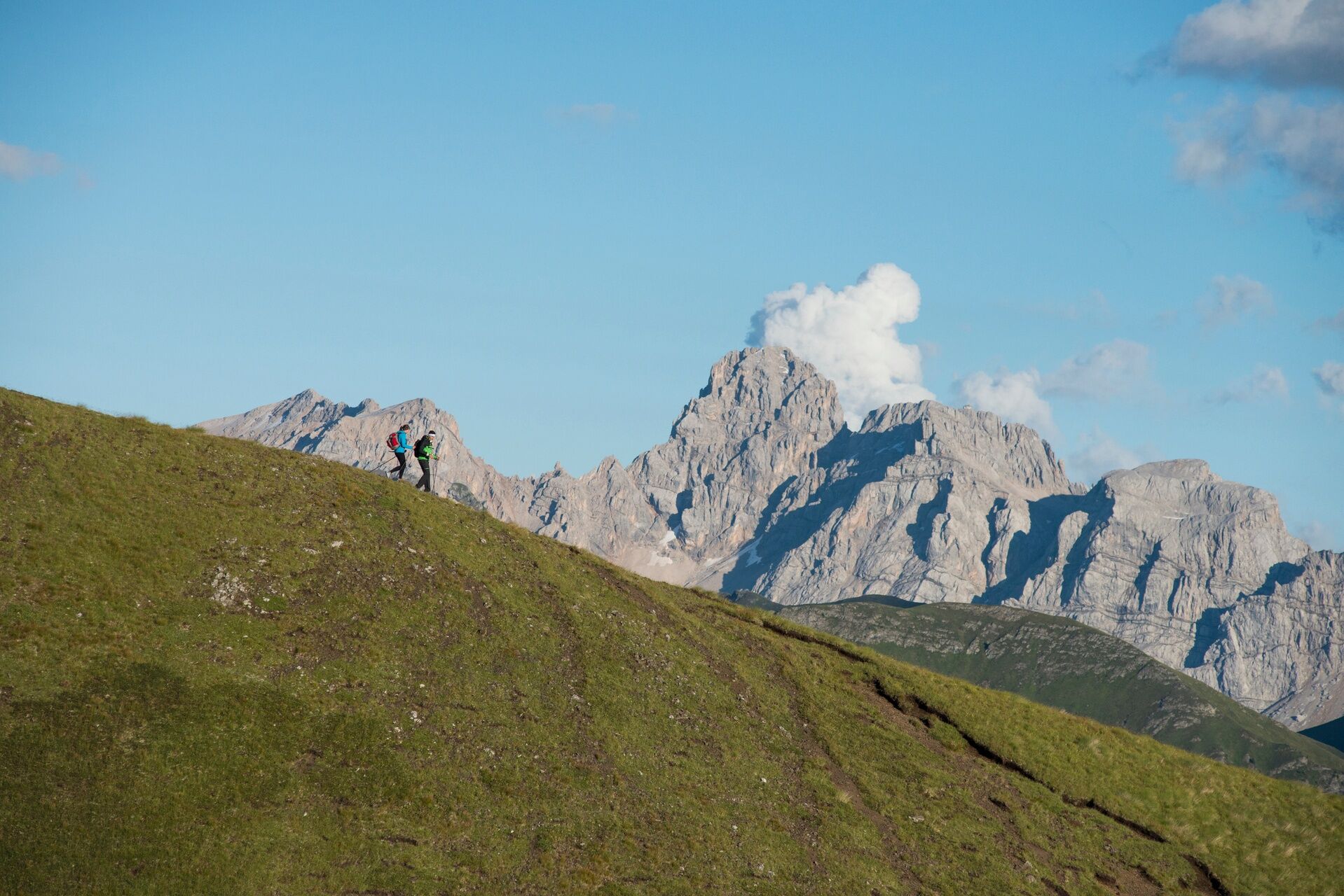
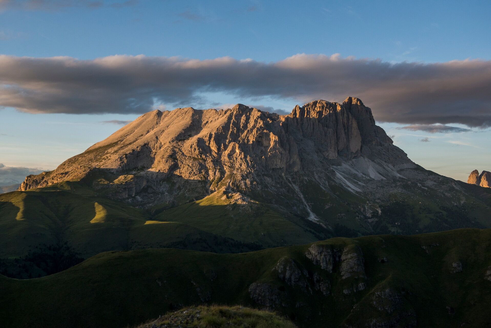
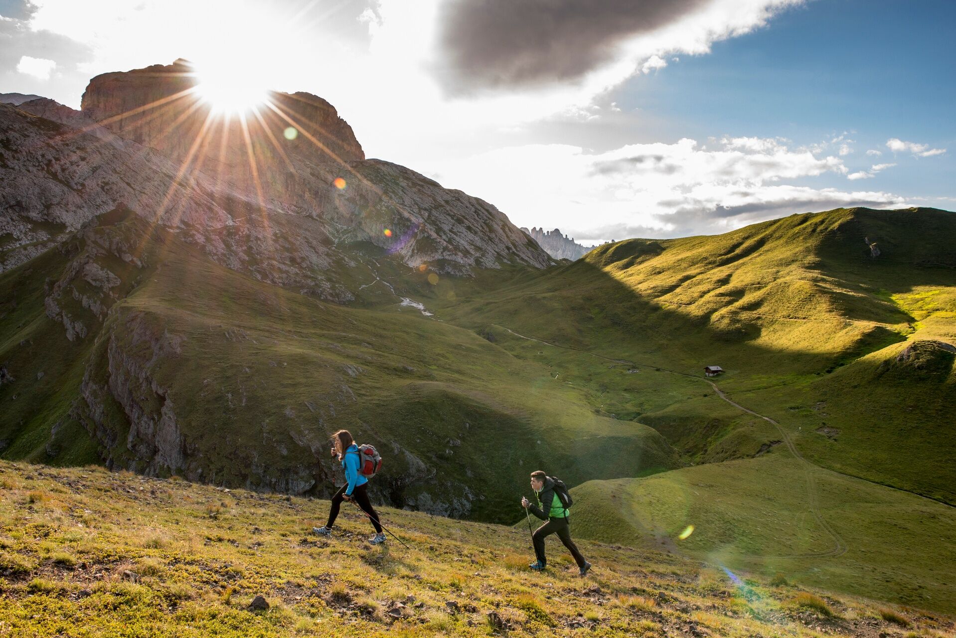
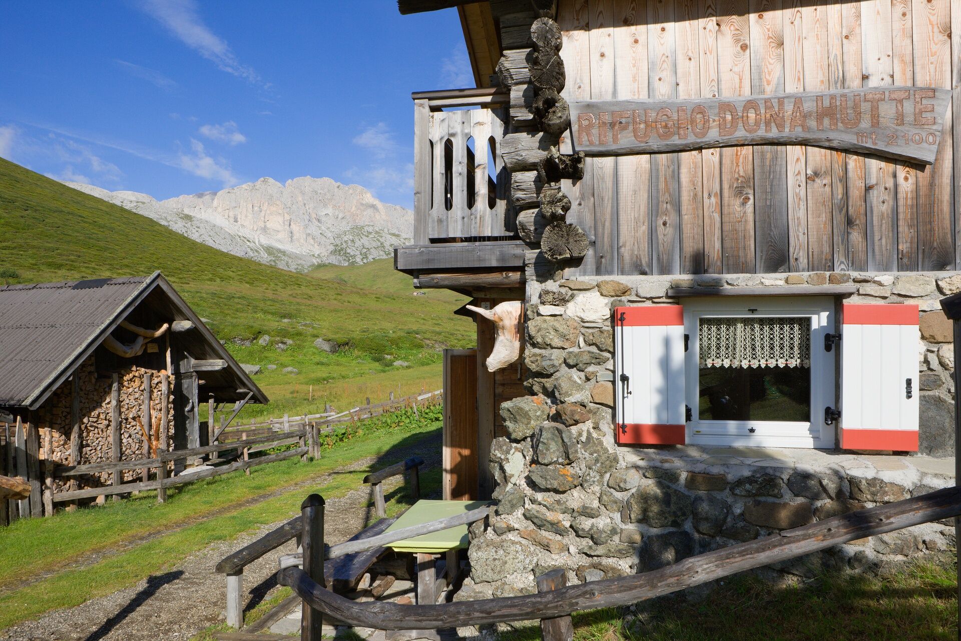
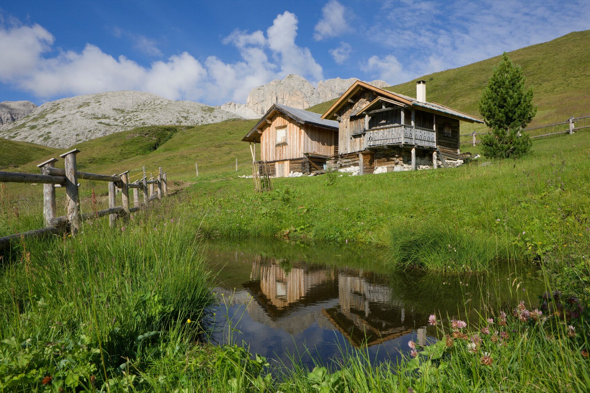
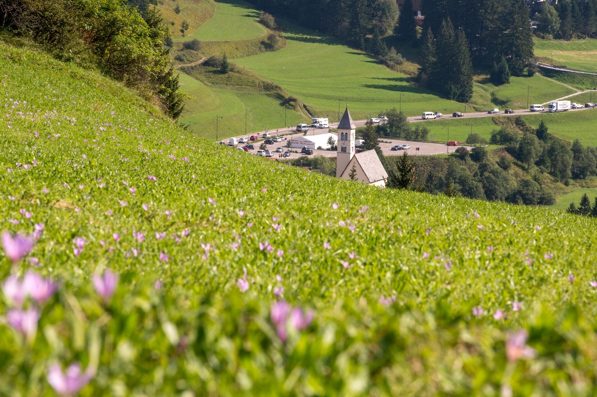

From the town centre of Mazzin you go up "Strèda dò Ruf" and then take the forest road of Val de Udai, trail marker no. 580.
Tak
Wear adequate clothing, footwear and equipment suitable for the length and grade of difficulty of trail to be taken. Always try to be self-sufficient and carry with you the necessary to face possible emergency situations and a first aid kit.
Plan your excursion according to your skills and the weather.
Walk slowly, enjoy the landscape and the silence.
Inform somebody about your itinerary, return time and possible changes.
Rely on professionals (Alpine and local guides).
Help those in need. Call 112 only in case of real necessity.
Make sure you have suitable clothes and equipment + some water and snacks.
Respect the environment around you and its inhabitants. Bring back your rubbish.
Follow the marked trails avoiding those in the bike park.
To protect the wonders of nature, leave everything in its place.
Bring your pet along, but keep it on a leash.
Other accesses to the Val di Fassa
from the A27 (Venice) motorway, exit Belluno/Ponte nelle Alpi, S.S. 203 for Agordo and S.P. 346 Passo San Pellegrino - Moena (Val di Fassa). From the Moena bypass towards Canazei from the A27 (Venice) motorway, exit Belluno/Ponte nelle Alpi, S.S. 203 for Agordo/Alleghe/Rocca Pietore. S.P. 641 Passo Fedaia - Canazei coming from Arabba, S.S. 48 Passo Pordoi - Canazei from Val Gardena, S.S. 242 Passo Sella - CanazeiPublic transport lines SAD - Val di Fassa:â¯
line no. 180 Vigo di Fassa - Carezza Pass - Bolzano line no. 471 Dolomites passes (Sella Pass, Gardena Pass, Campolongo Pass, Pordoi Pass, Fedaia Pass). Service available in summer onlyParking at the entrance to Mazzin or near the tourist office.
Strèda Roma, 36
38032 Canazei (TN)
Phone +39 0462 609500
info@fassa.com
www.fassa.com
There are no mountain huts in Val de Udai.

Kamery internetowe z trasy
Uzyskaj wgląd
Zawsze na żywo z ponad 9 500 kamer internetowych. bergfex Jako użytkownik Pro, możesz teraz zobaczyć odpowiednie kamery internetowe dla wielu wycieczek w aplikacji wycieczki od. Pozwala to na bezpośredni podgląd aktualnych warunków.
Popularne wycieczki w okolicy
-
4,6
Pordoi Pass - Sass Pordoi - Forcella Pordoi - Piz Boè - Boè Refuge - Forcella Pordoi - Pordoi Pass
ciężkiWędrówka 8,39 km -
5,0
Langkofel Klettersteig/Ferrata Furcela de Saslonch
ciężkiVia ferrata 7,07 km -
5,0
Um den Langkofel
średniWędrówka 9,76 km -
4,9
Lang- und Plattkofel Umrundung
średniWędrówka 17,5 km -
4,8
Santnerpass Klettersteig
średniVia ferrata 8,29 km -
4,8
Langkofel-Umrundung
średniWędrówka 12,9 km -
4,7
Puflatsch Umrundung
światłoWędrówka 8,37 km -
4,0
Der Friedrich-August-Weg
średniWędrówka 10,4 km -
4,8
Schlern Bersteigung
średniWędrówka 19,1 km -
4,8
Vom Col Raiser über die Seceda und Pieralongia zur Regensburger Hütte
średniWędrówka 10,4 km
Wędrówki i tropienie


Nie przegap ofert i inspiracji na następne wakacje
Twój adres e-mail została dodana do listy mailingowej.





