


Alba (Ciampac) - Forcia Neigra - Passo San Nicolò Refuge - Contrin Refuge - Alba
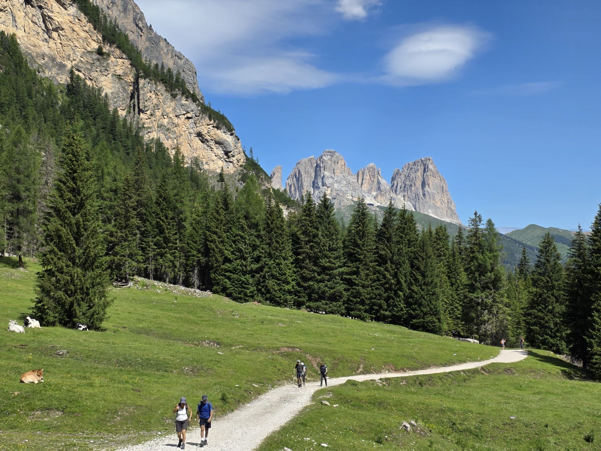


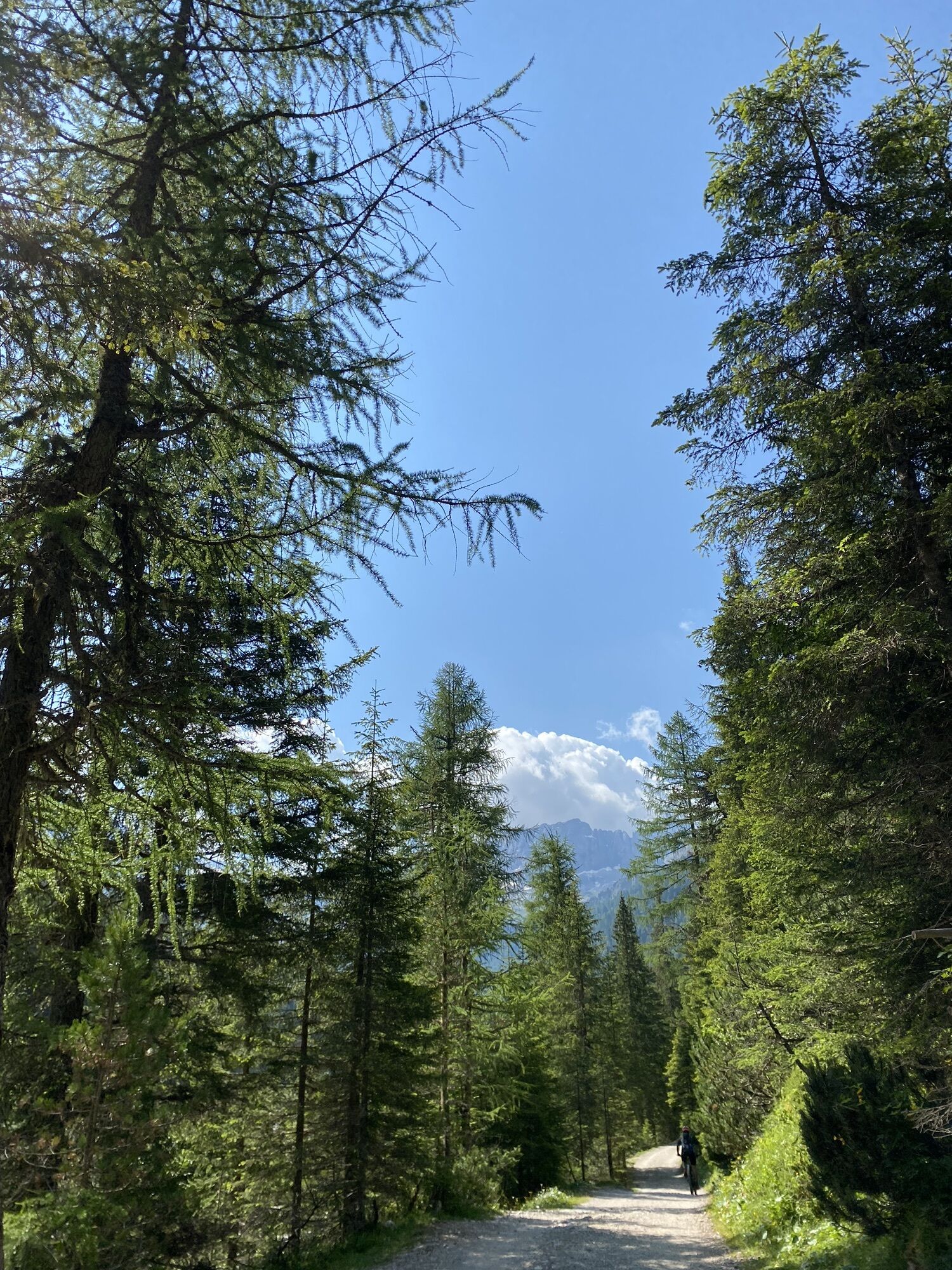
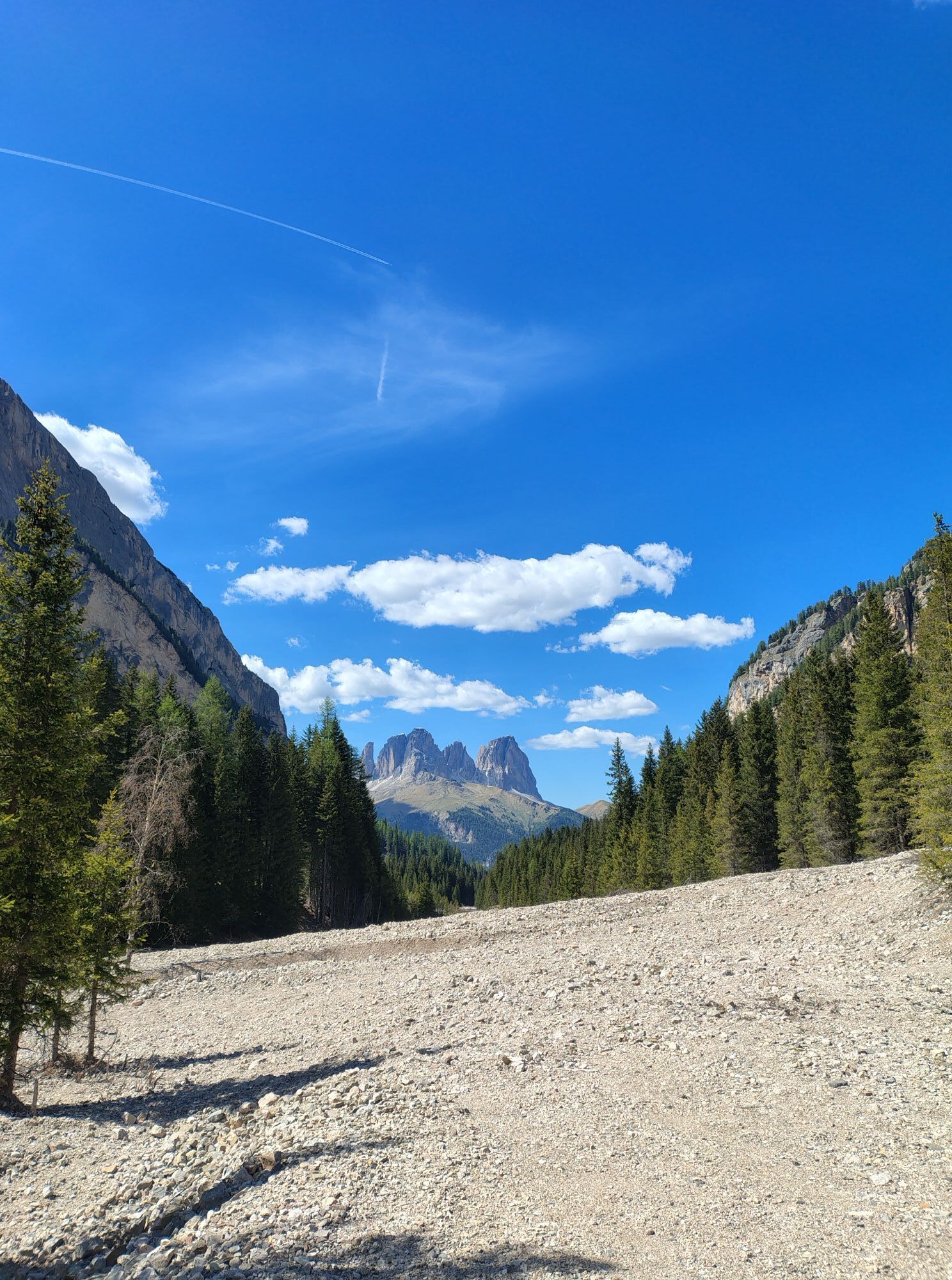
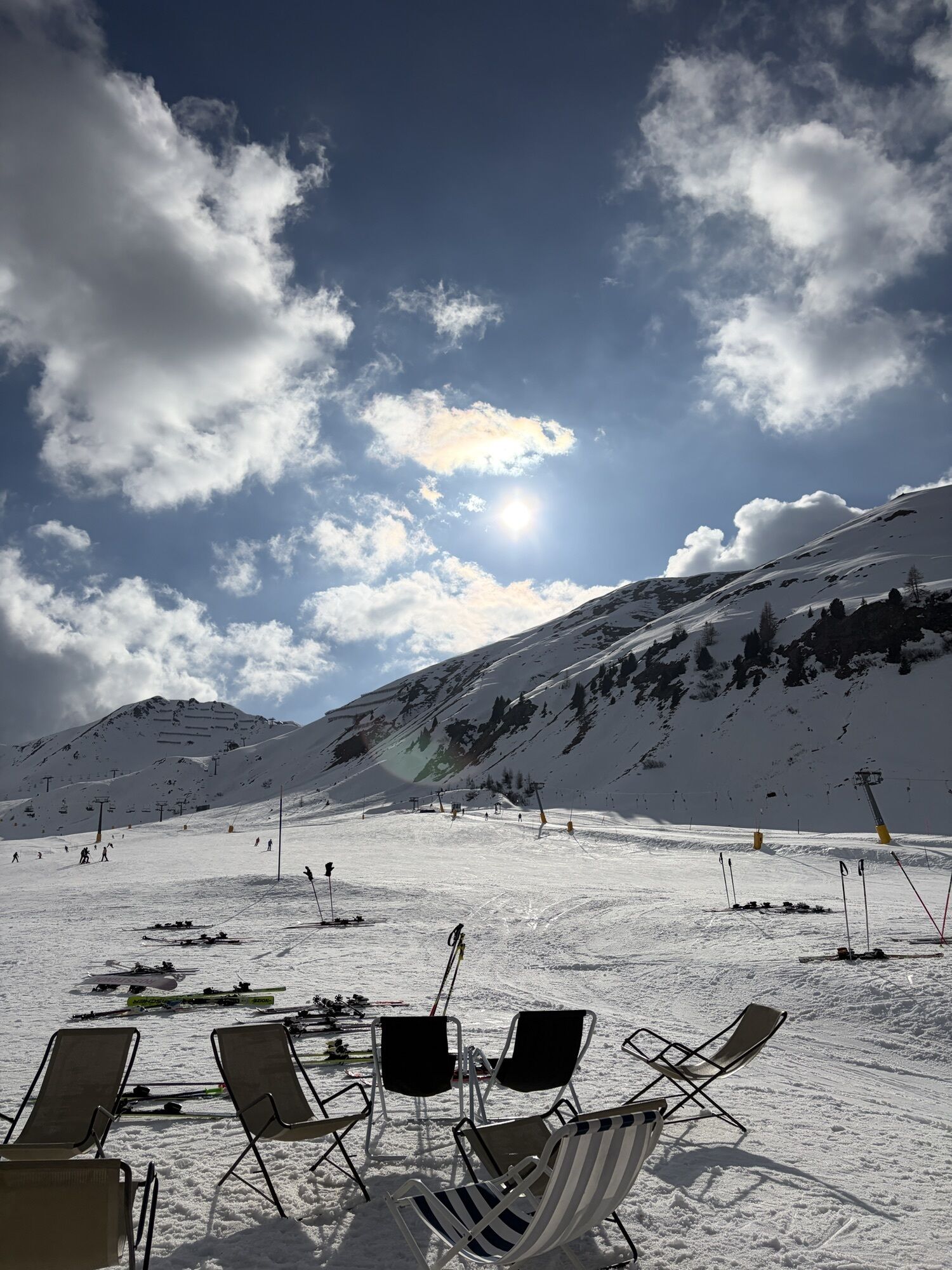
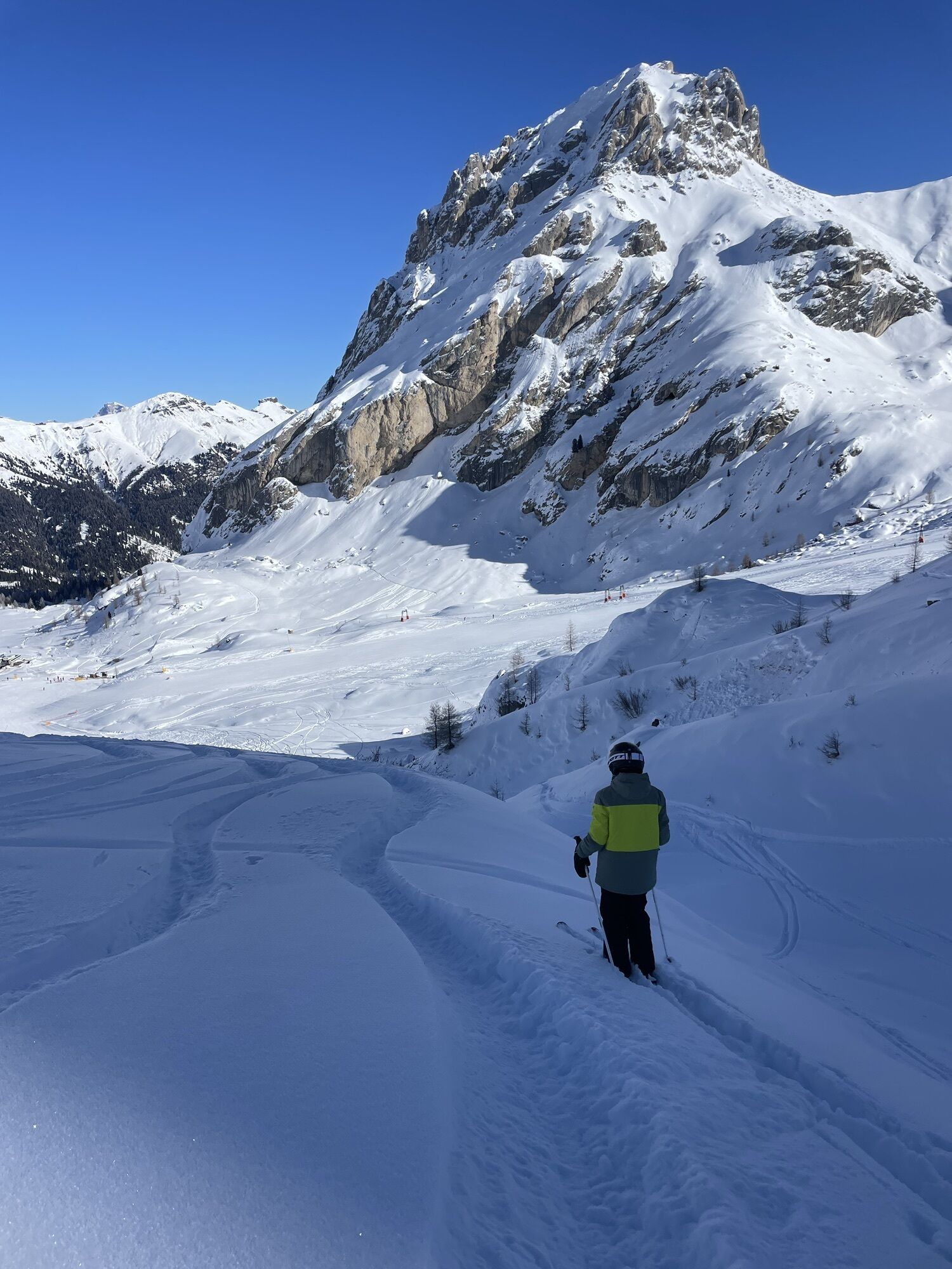
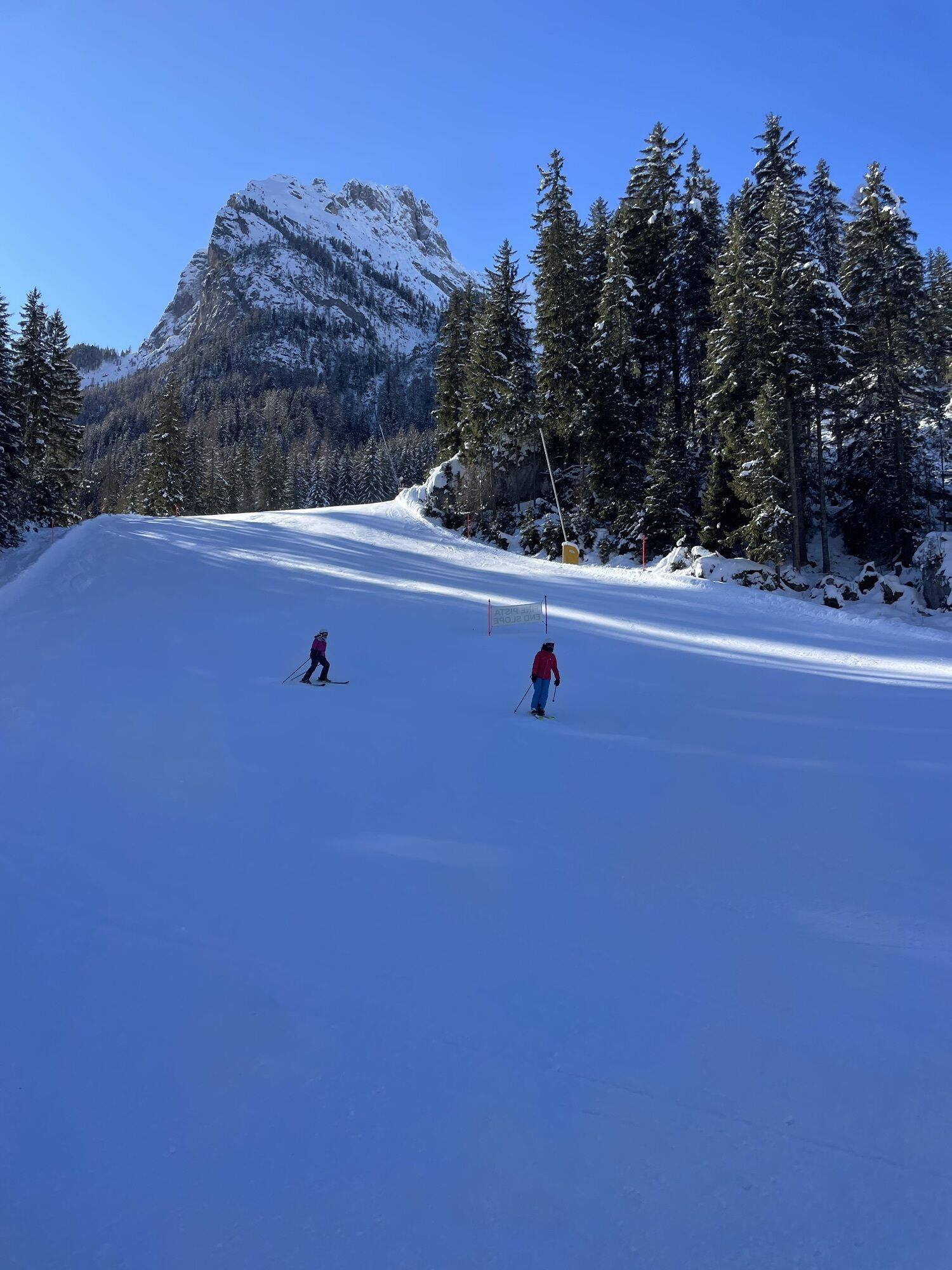
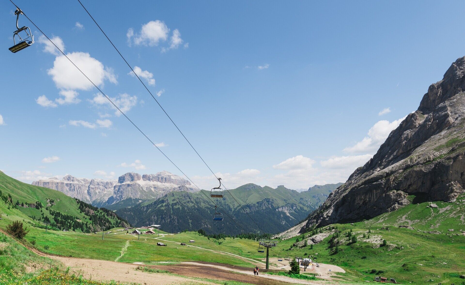
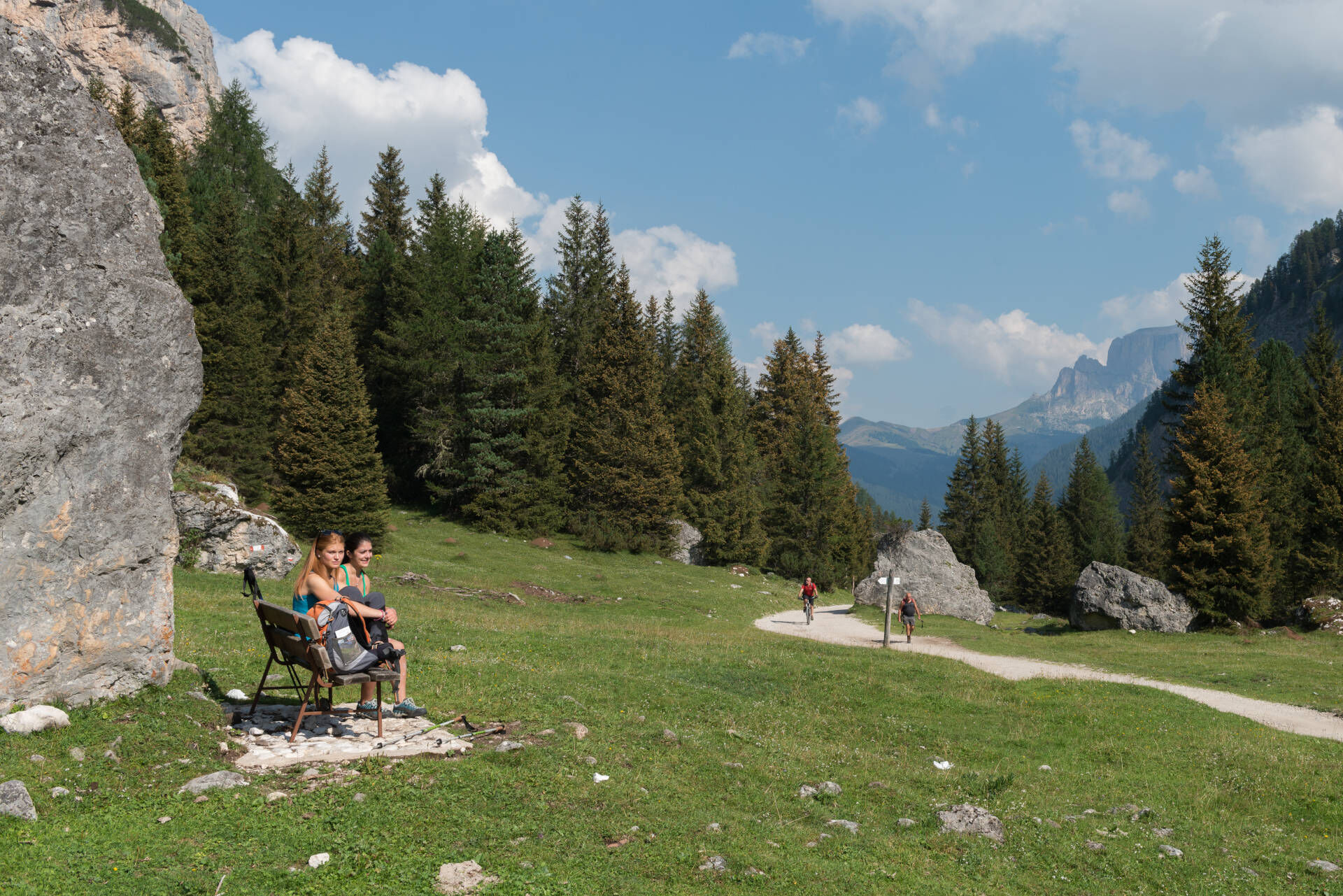
From Alba take the cabin lift up to Ciampac. Now walk up through the Ciampac basin where you will find some refuges. Next you come to a fork. Joining from the right is the path no. 613 (now it has become...
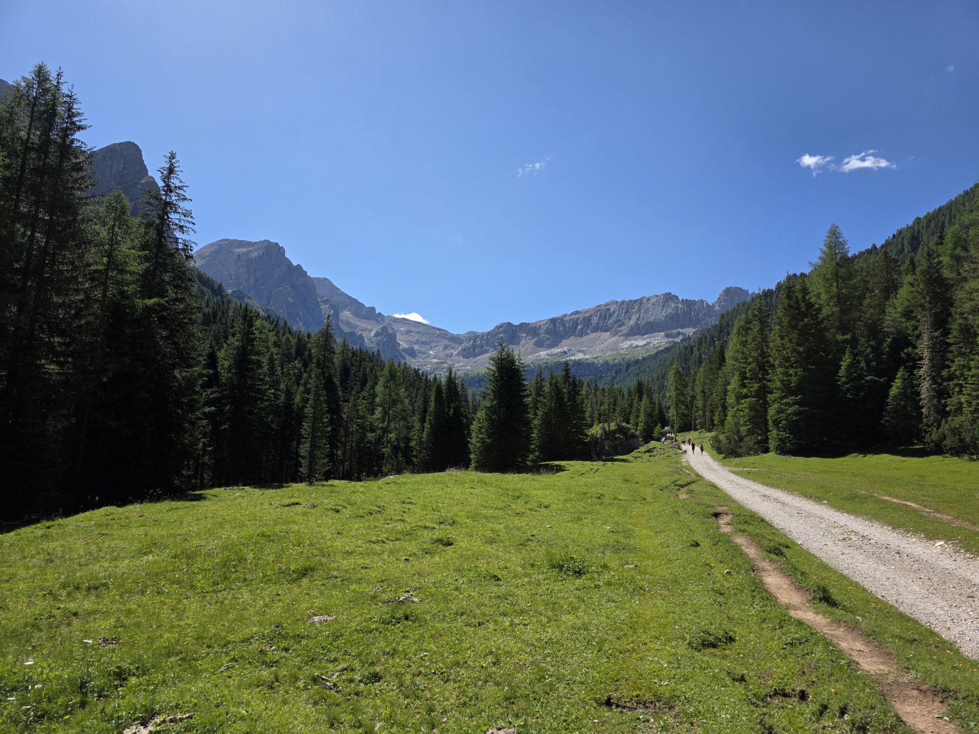
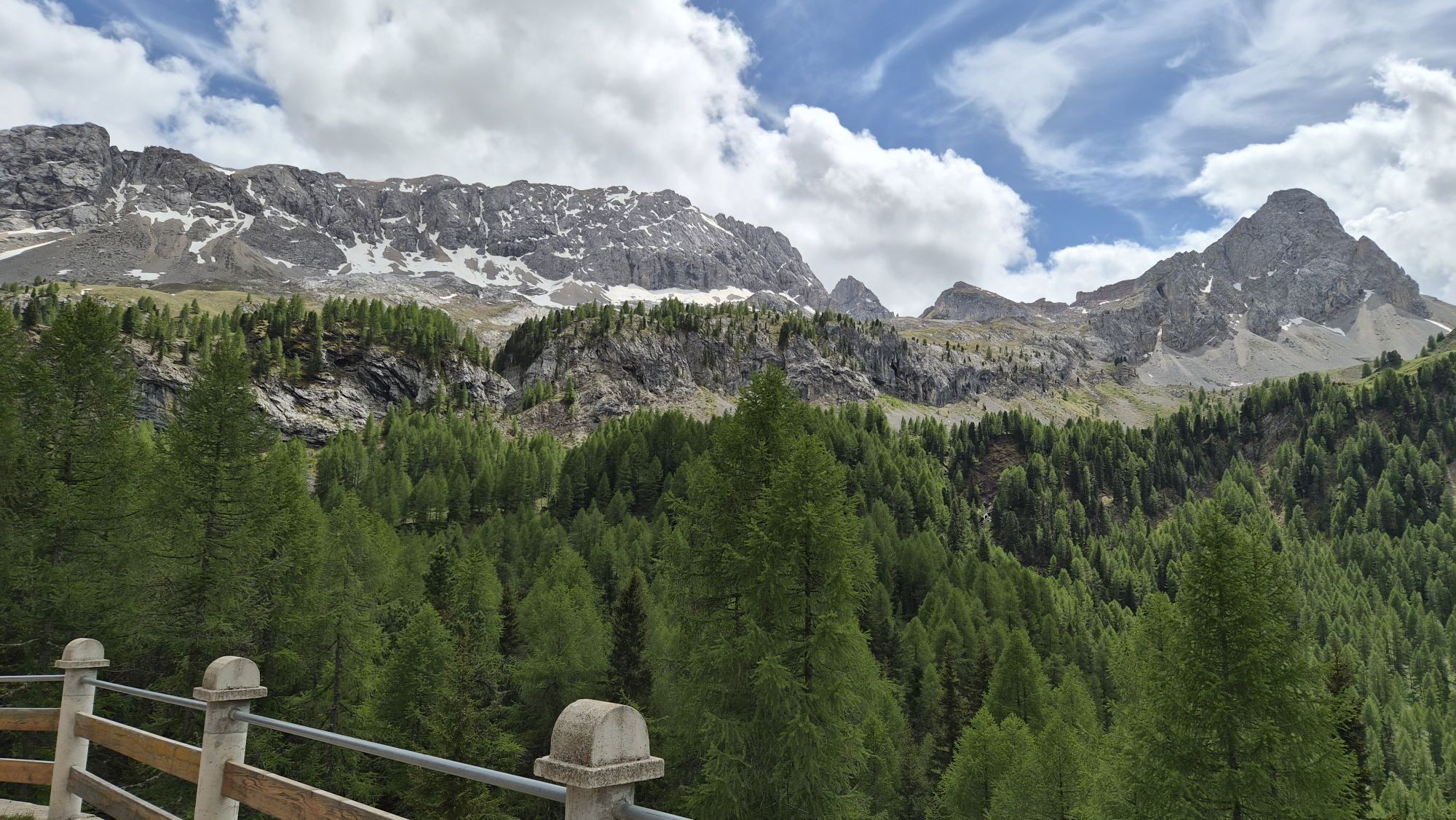
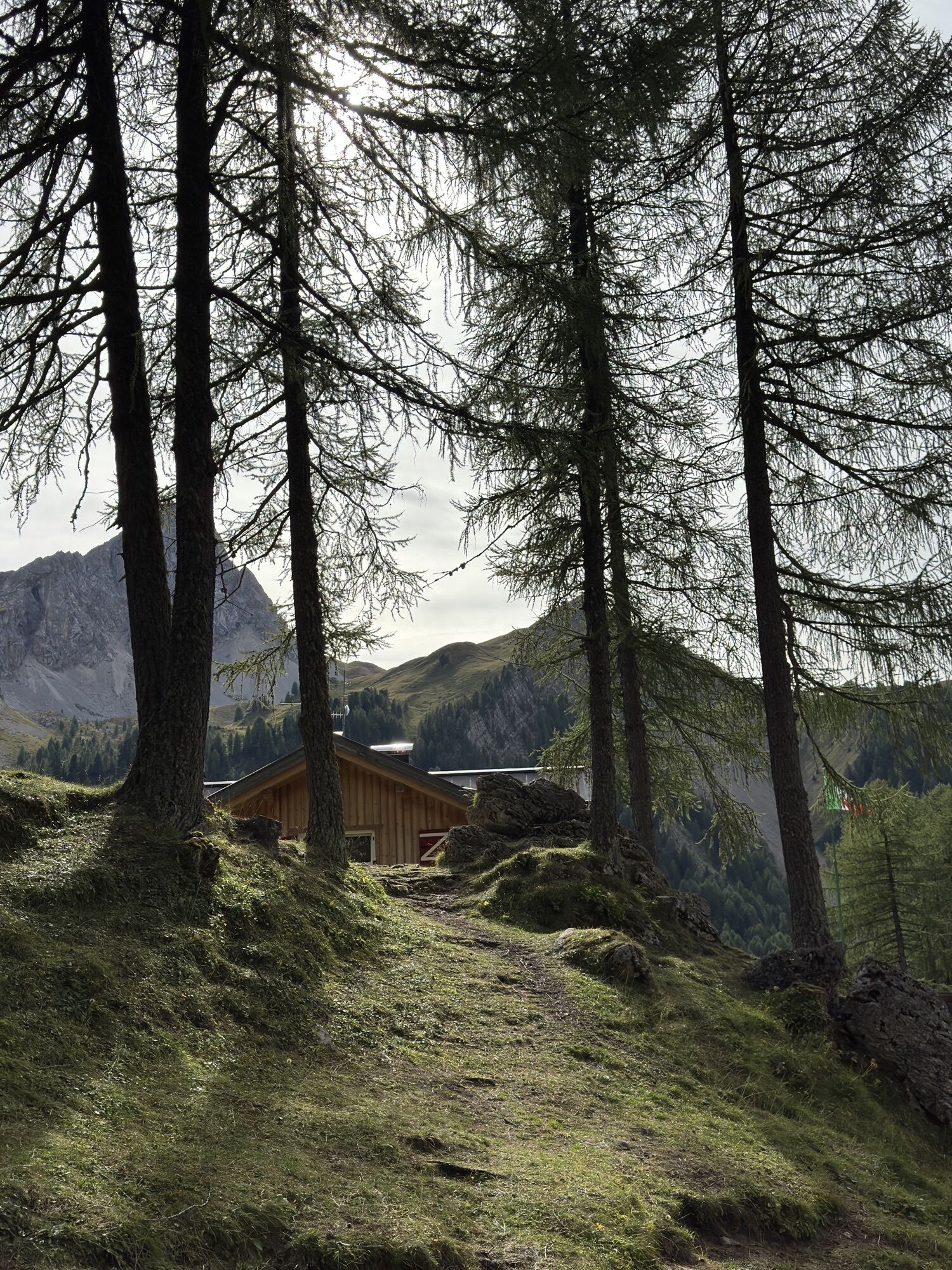
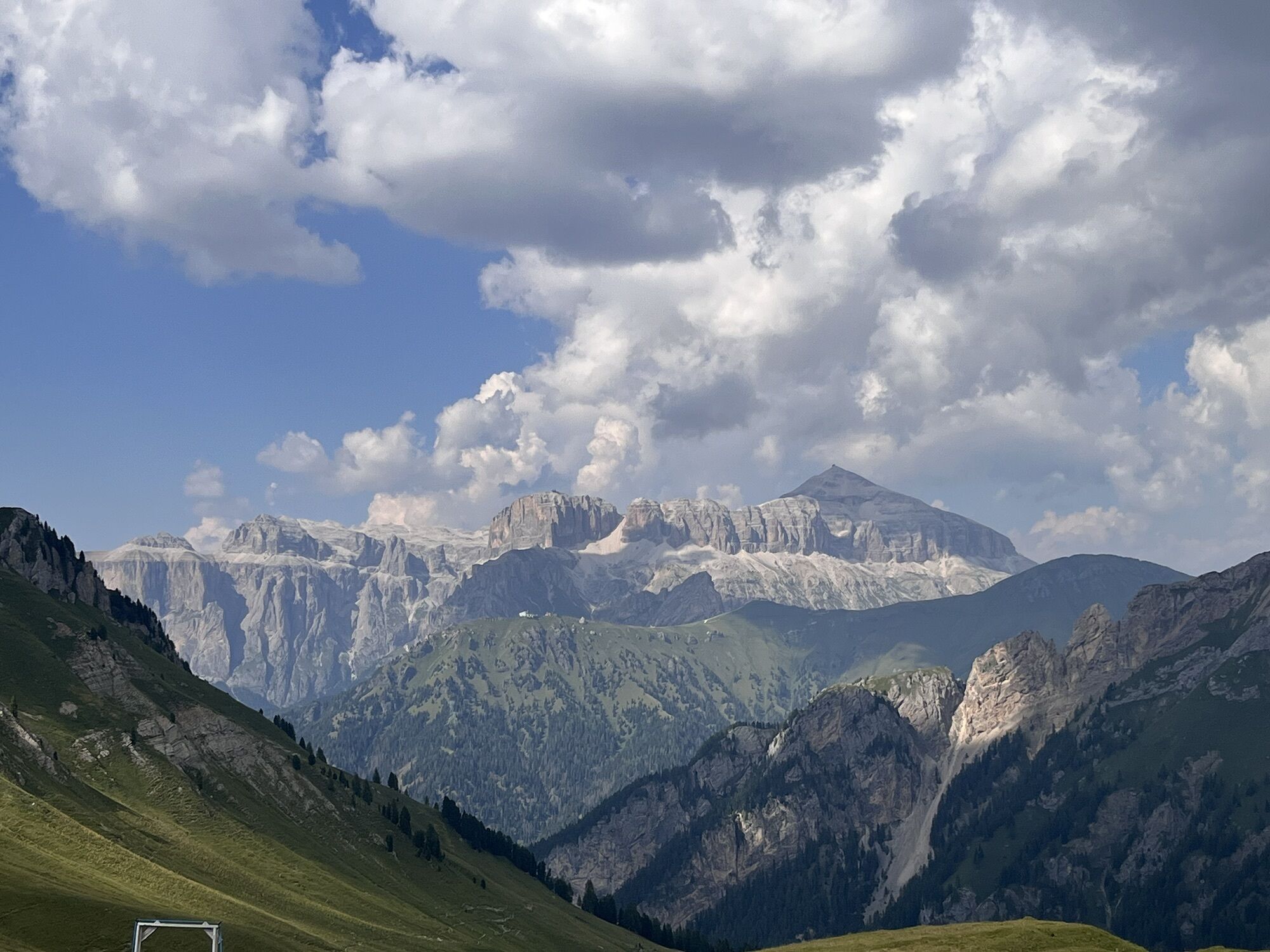
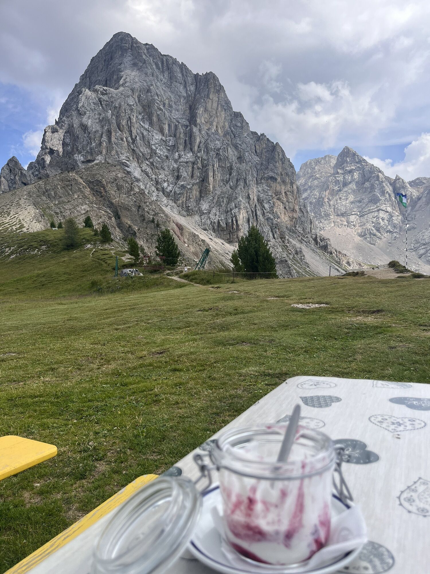
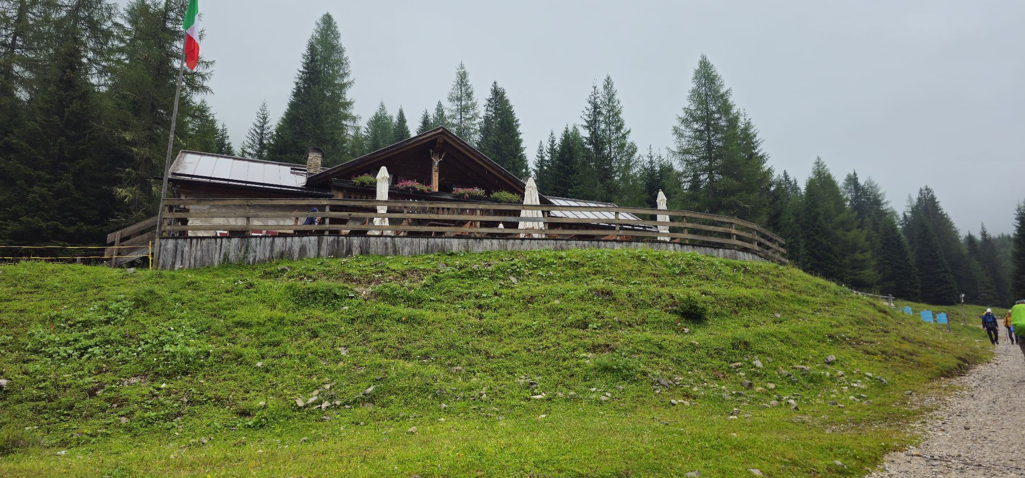
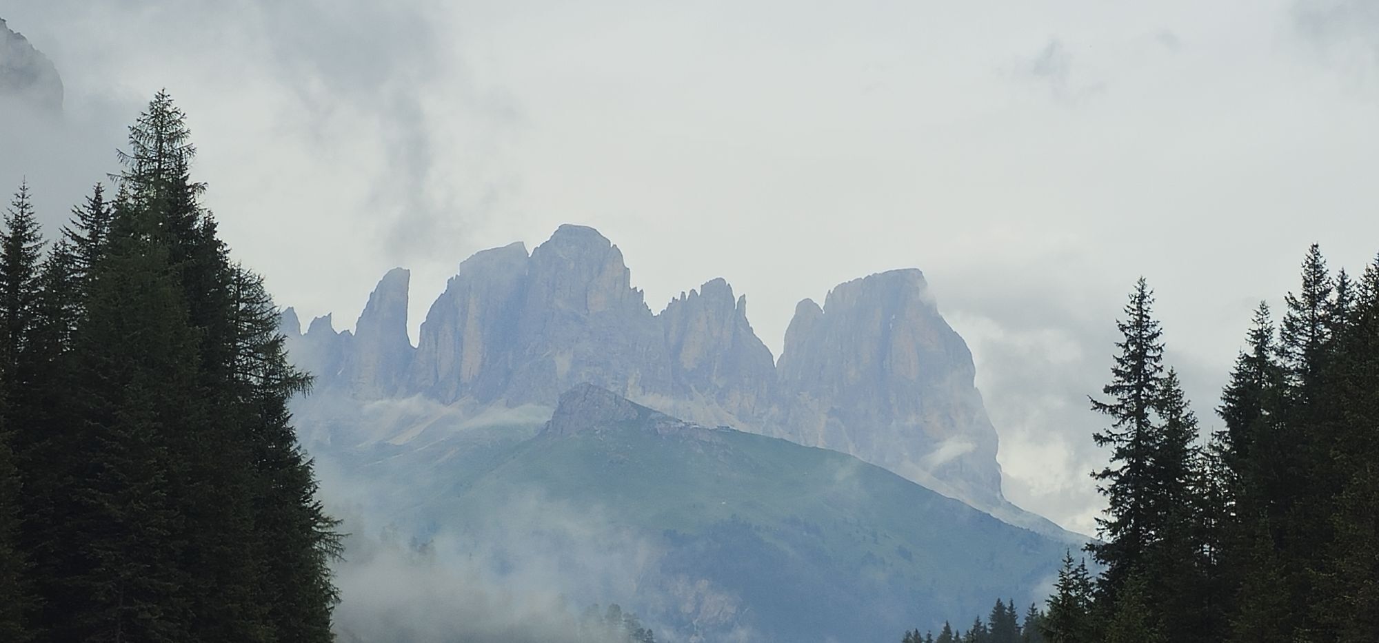
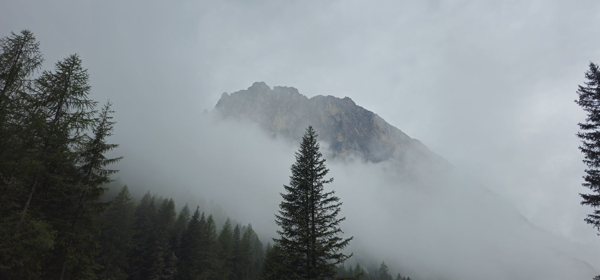
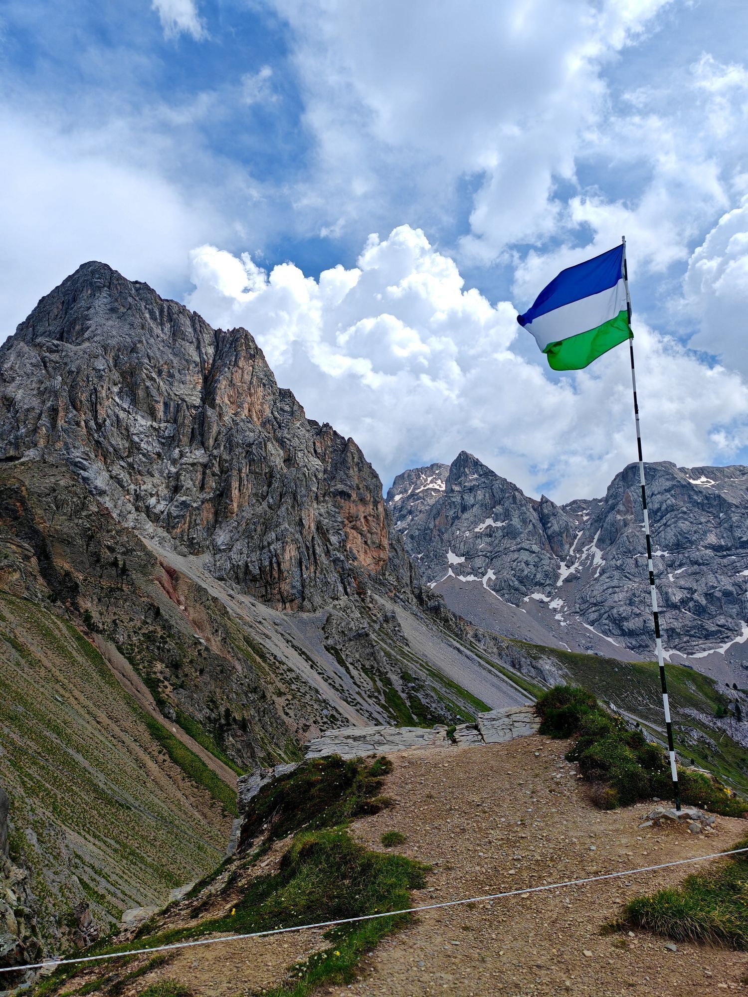
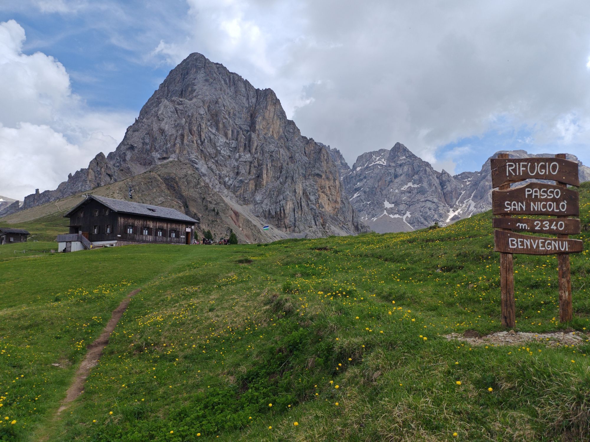
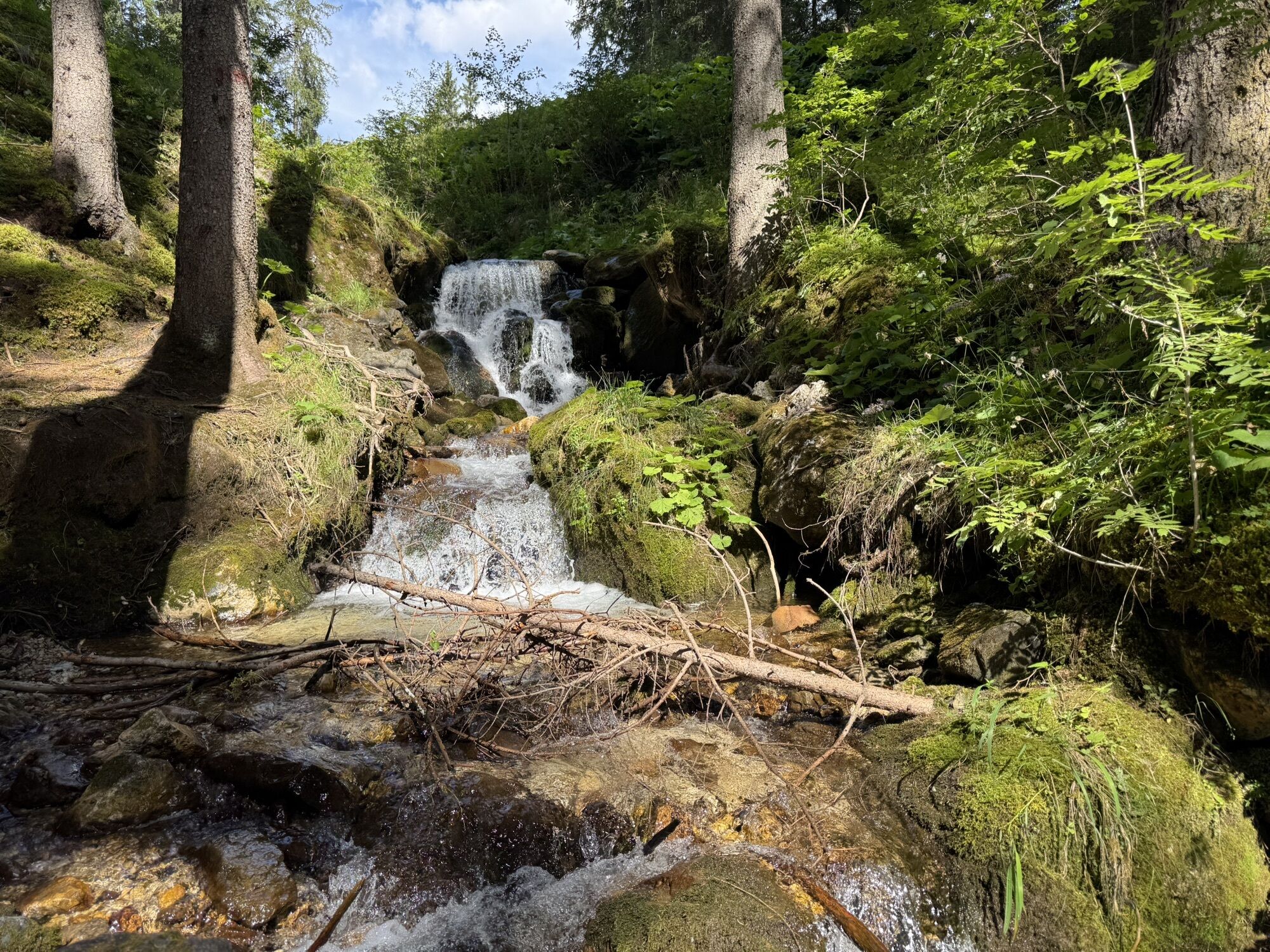
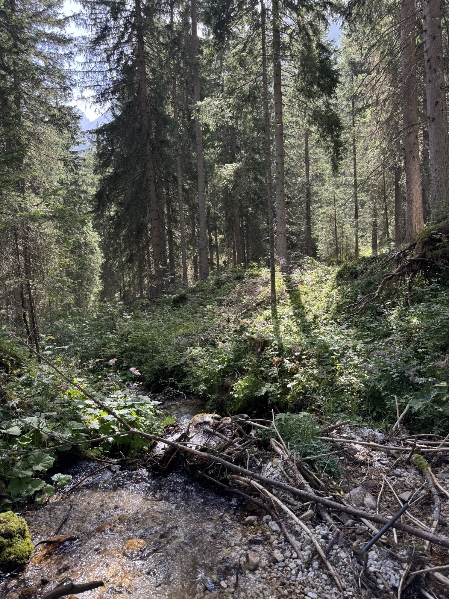
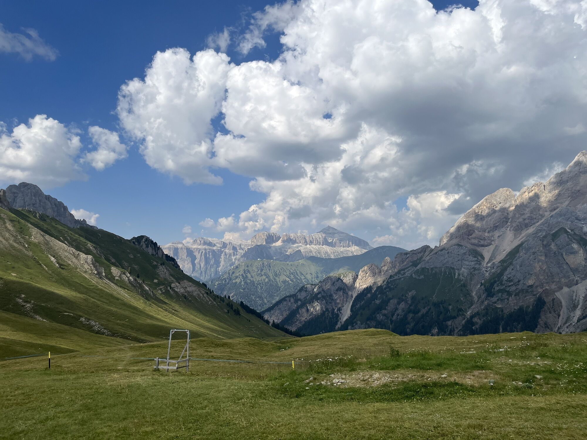
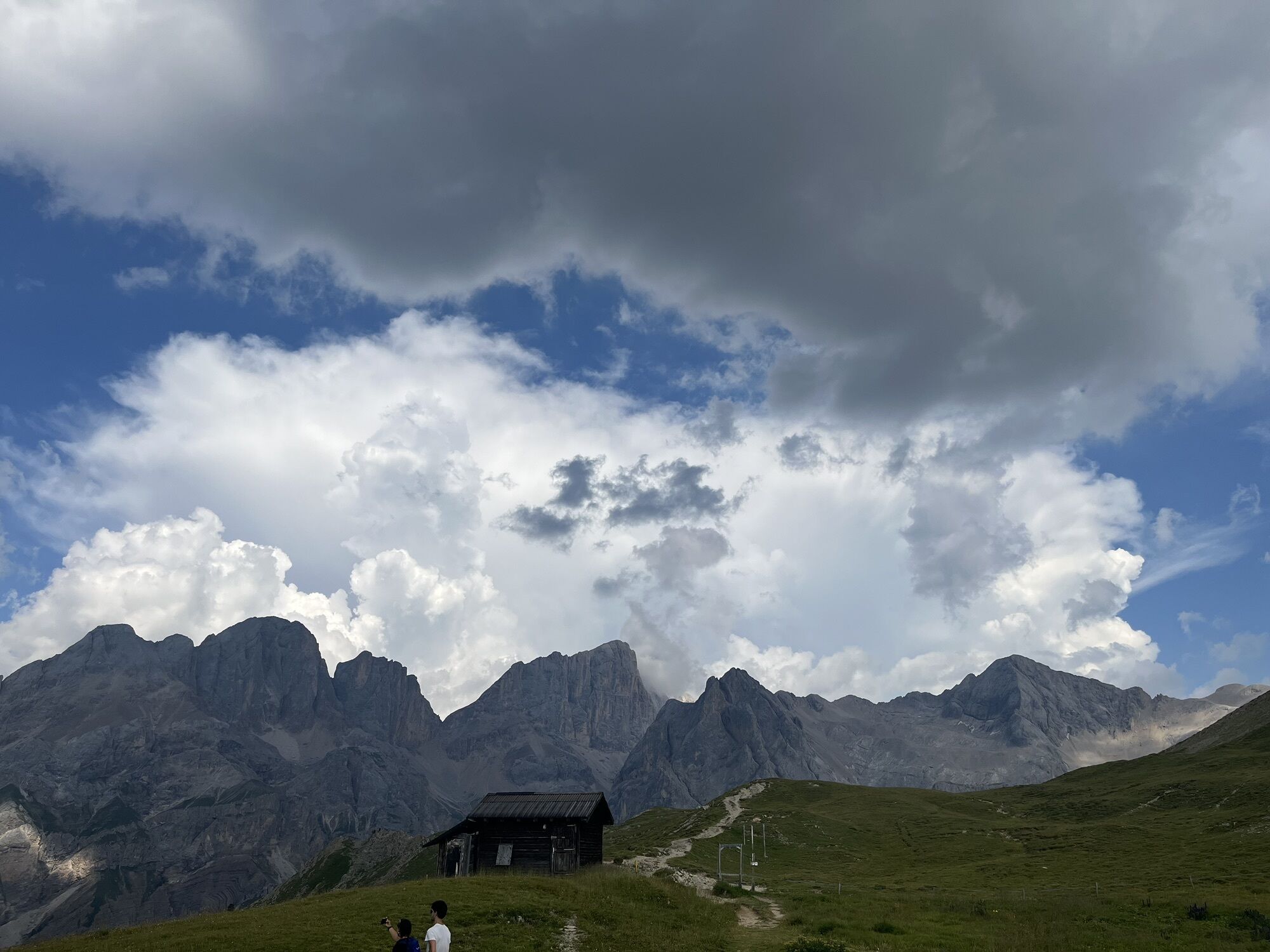
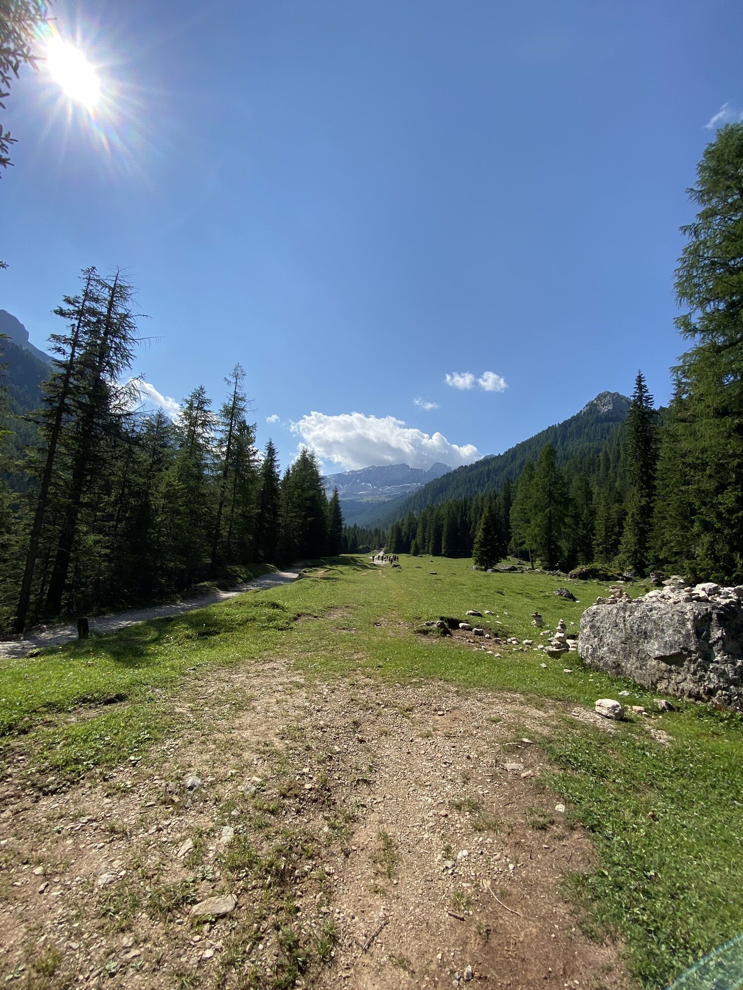
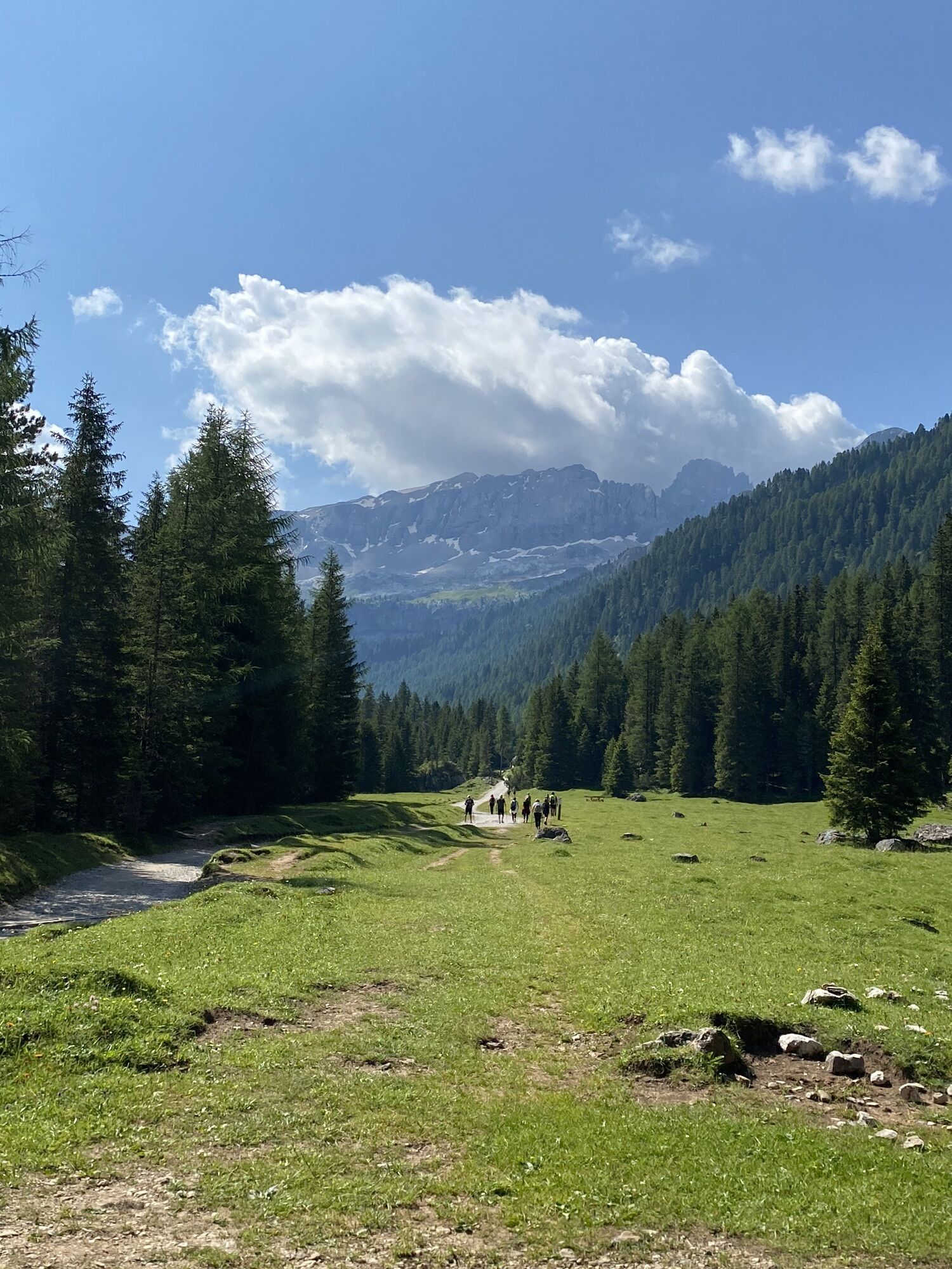
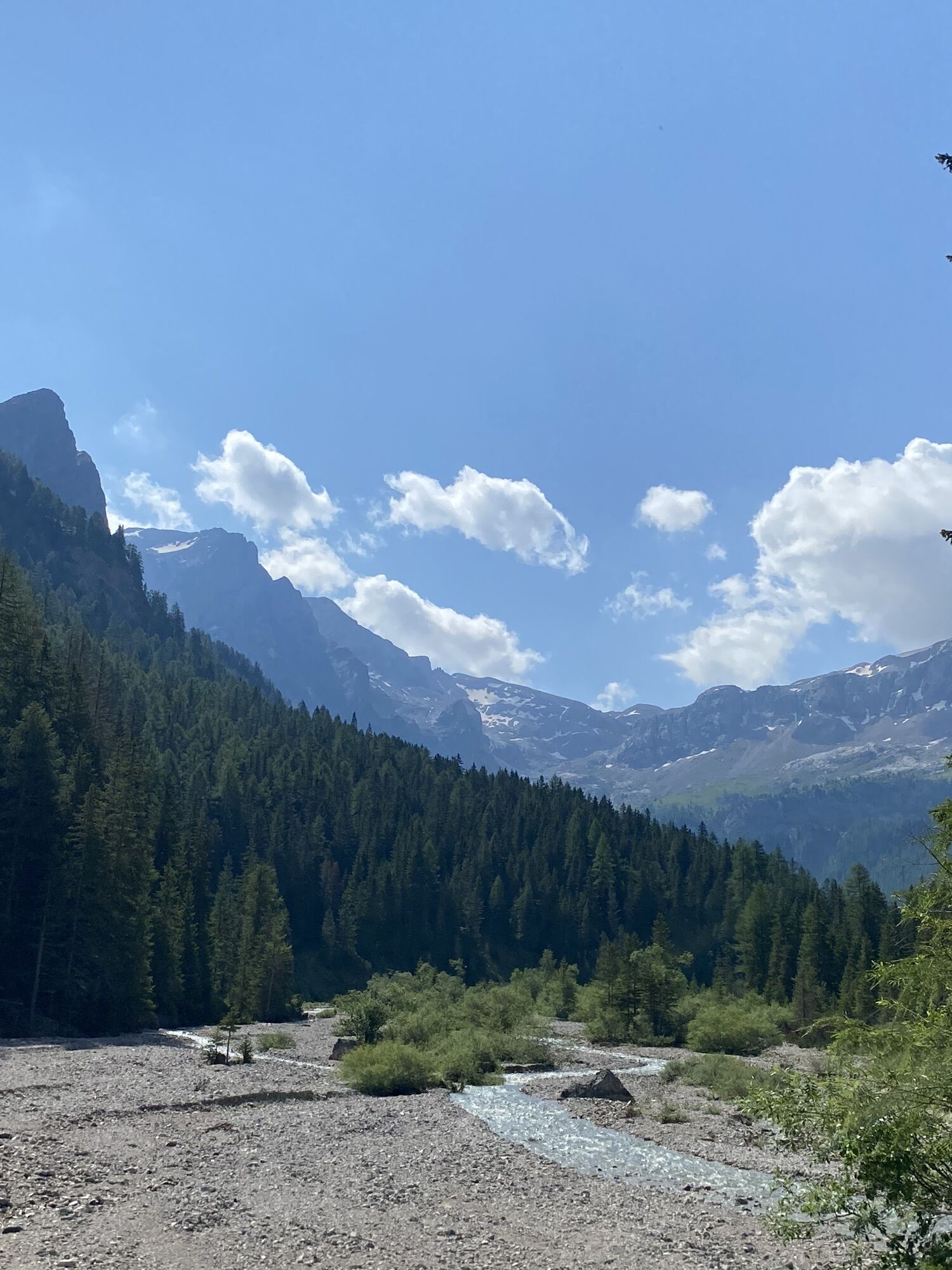
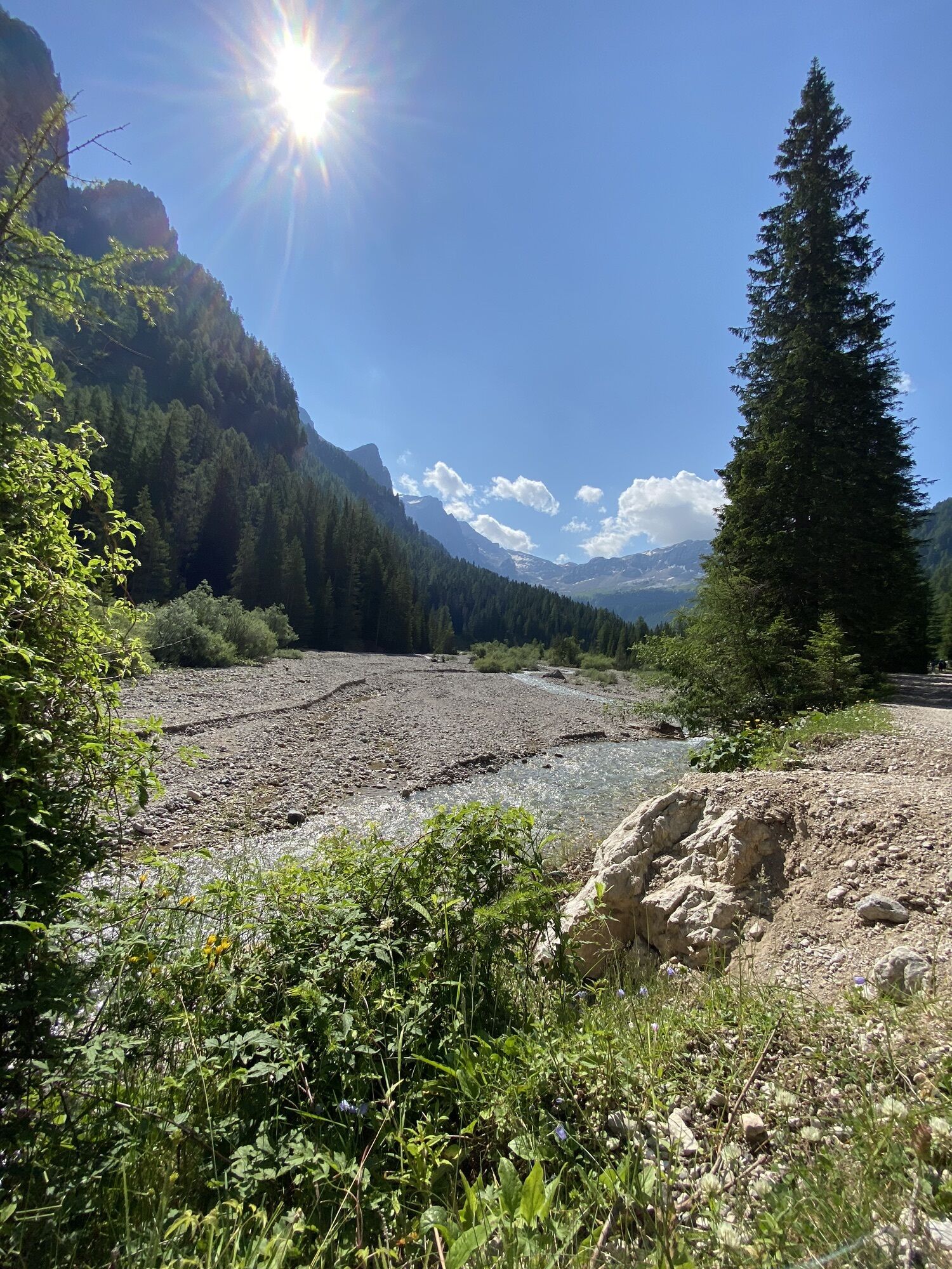
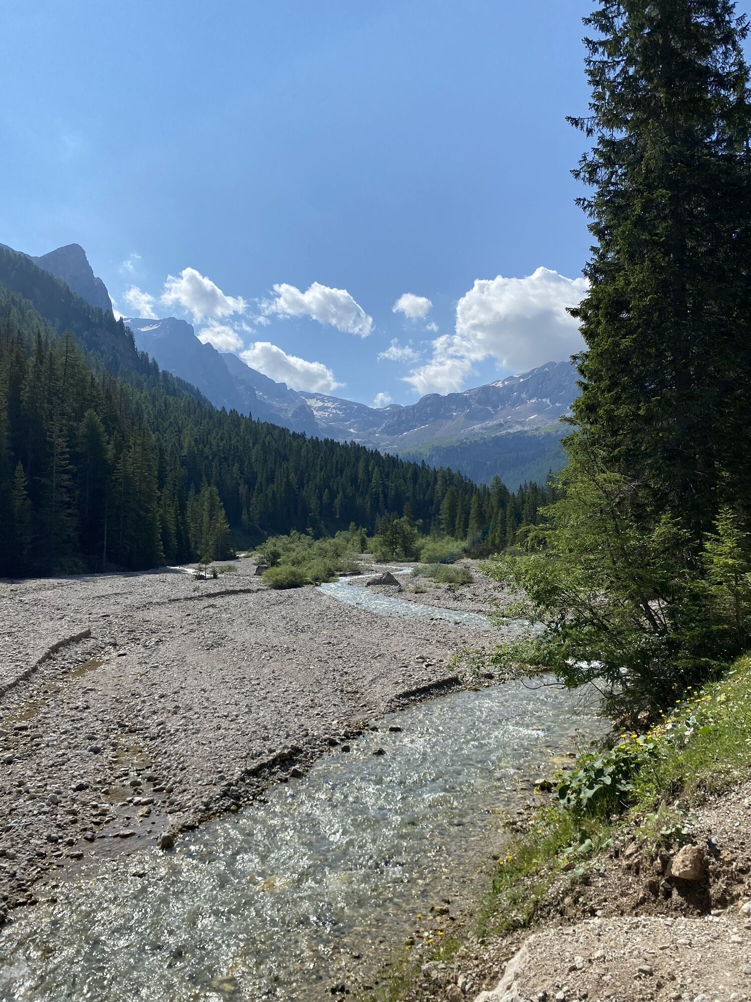
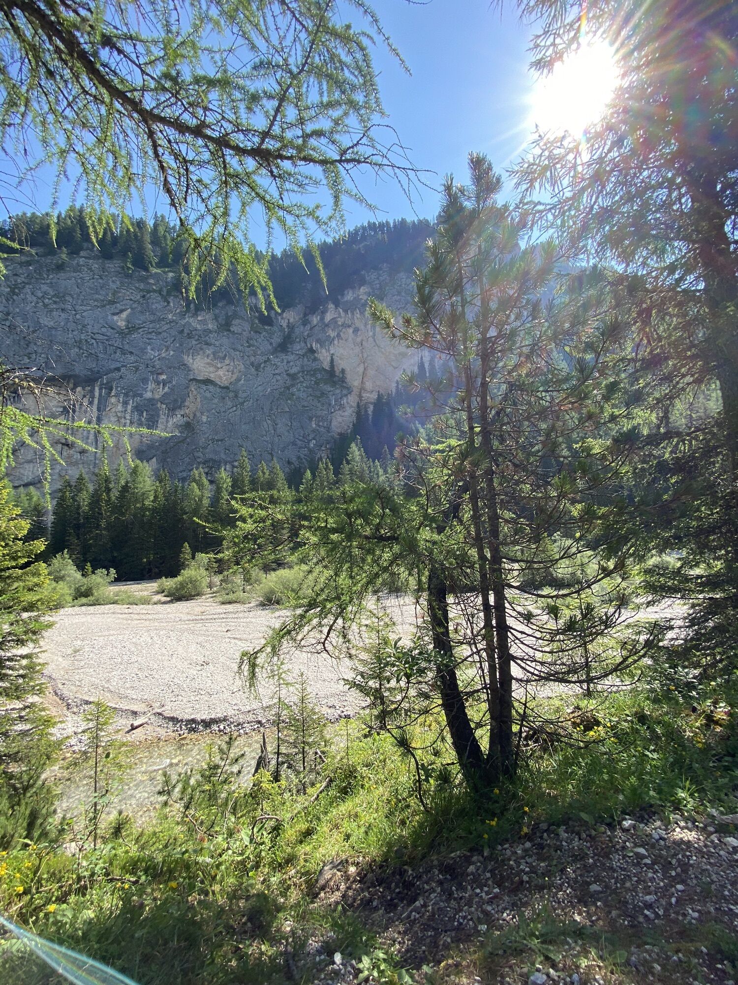
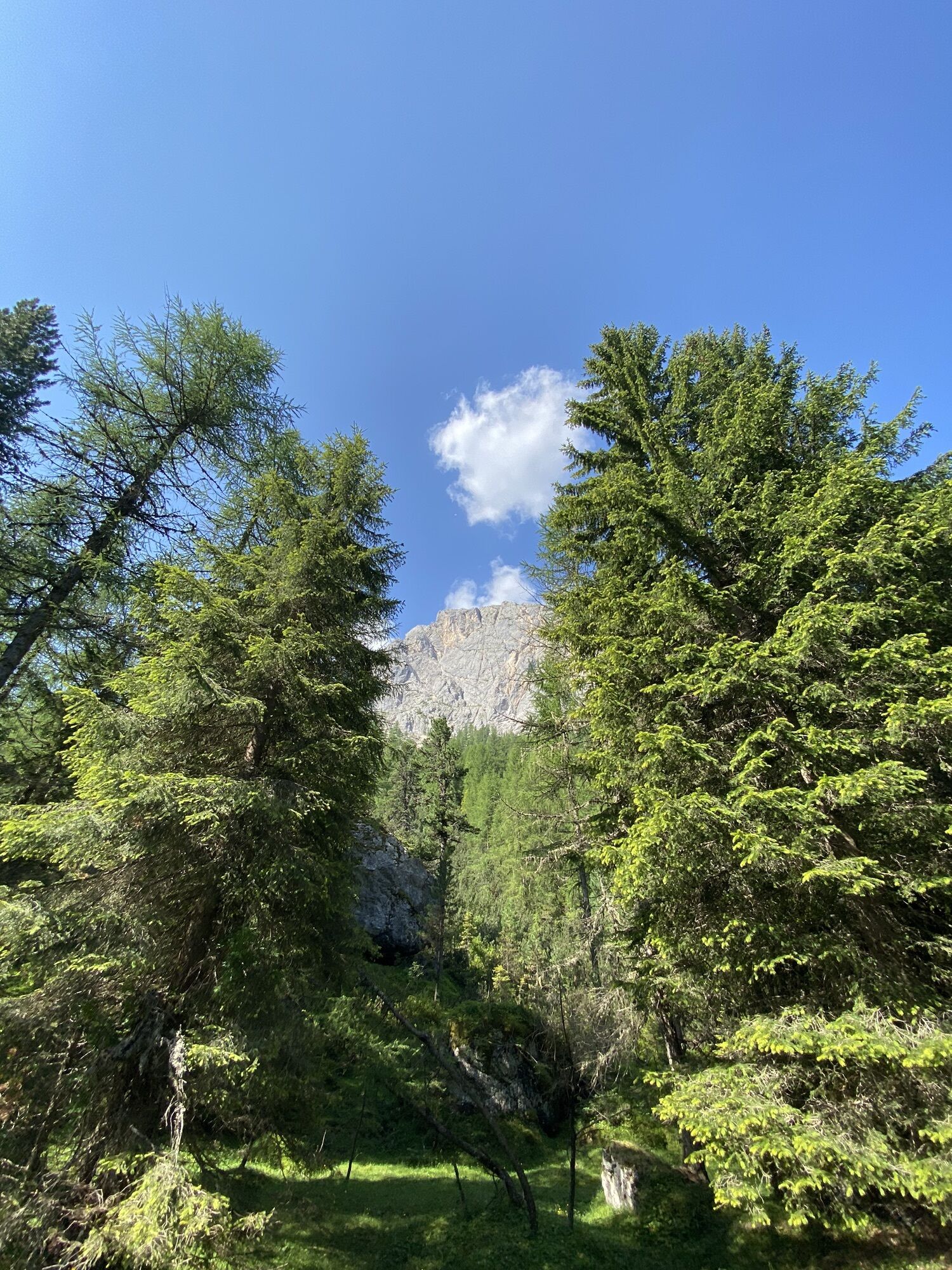
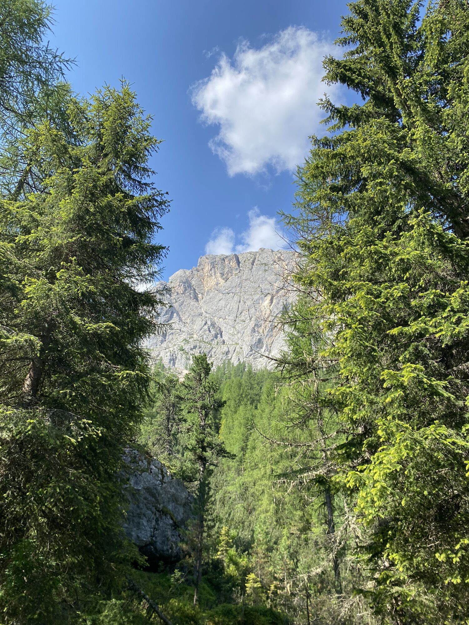
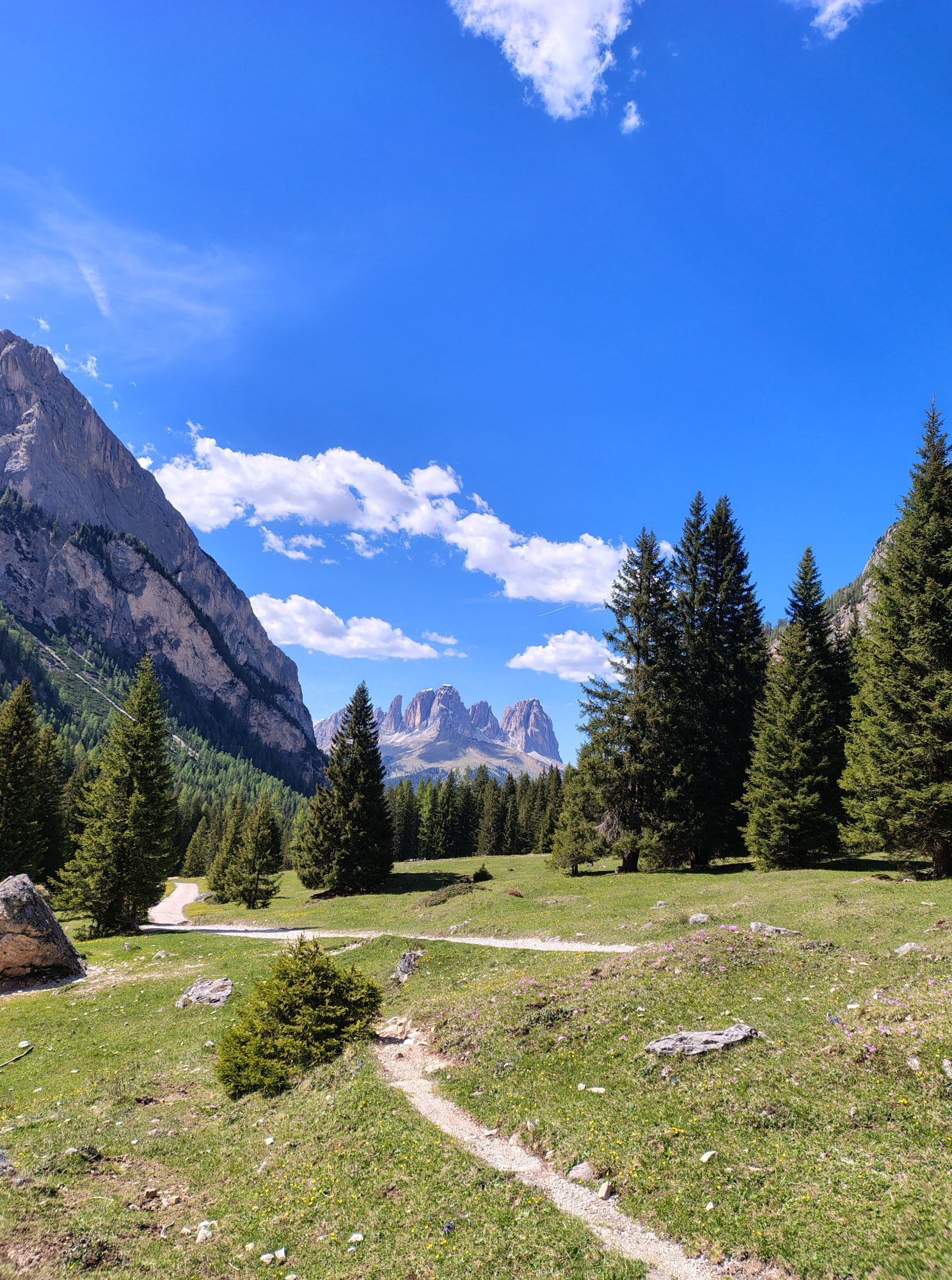
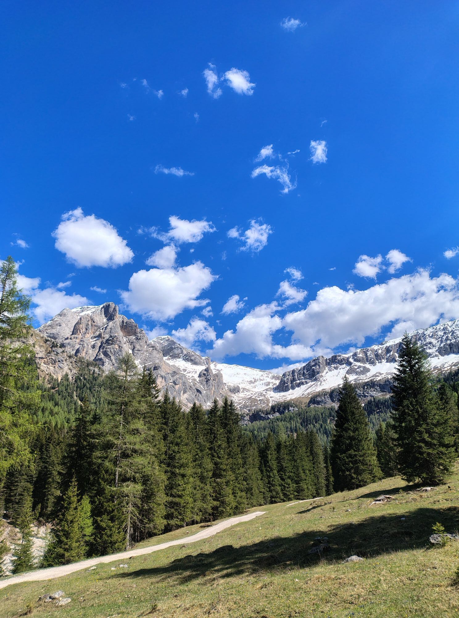
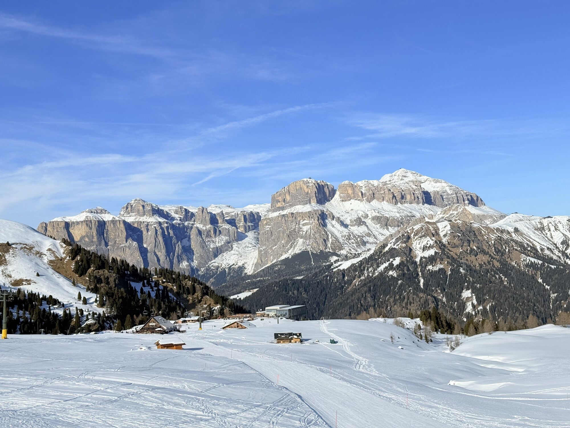
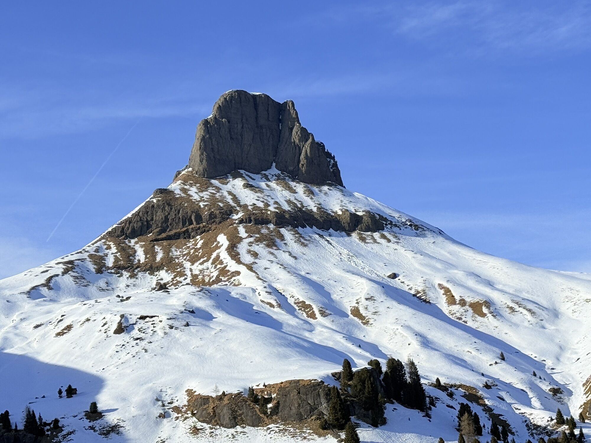
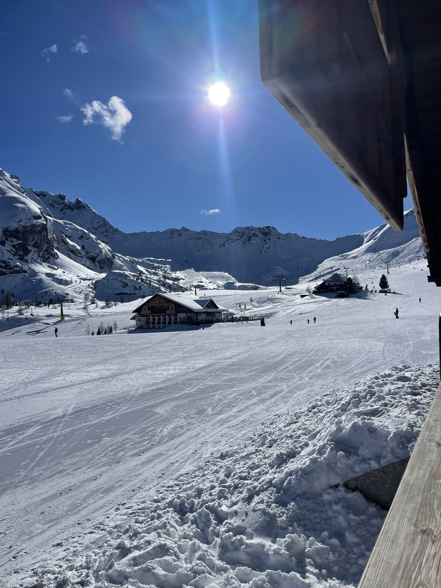
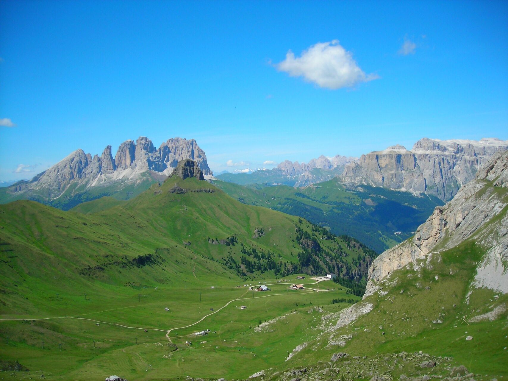
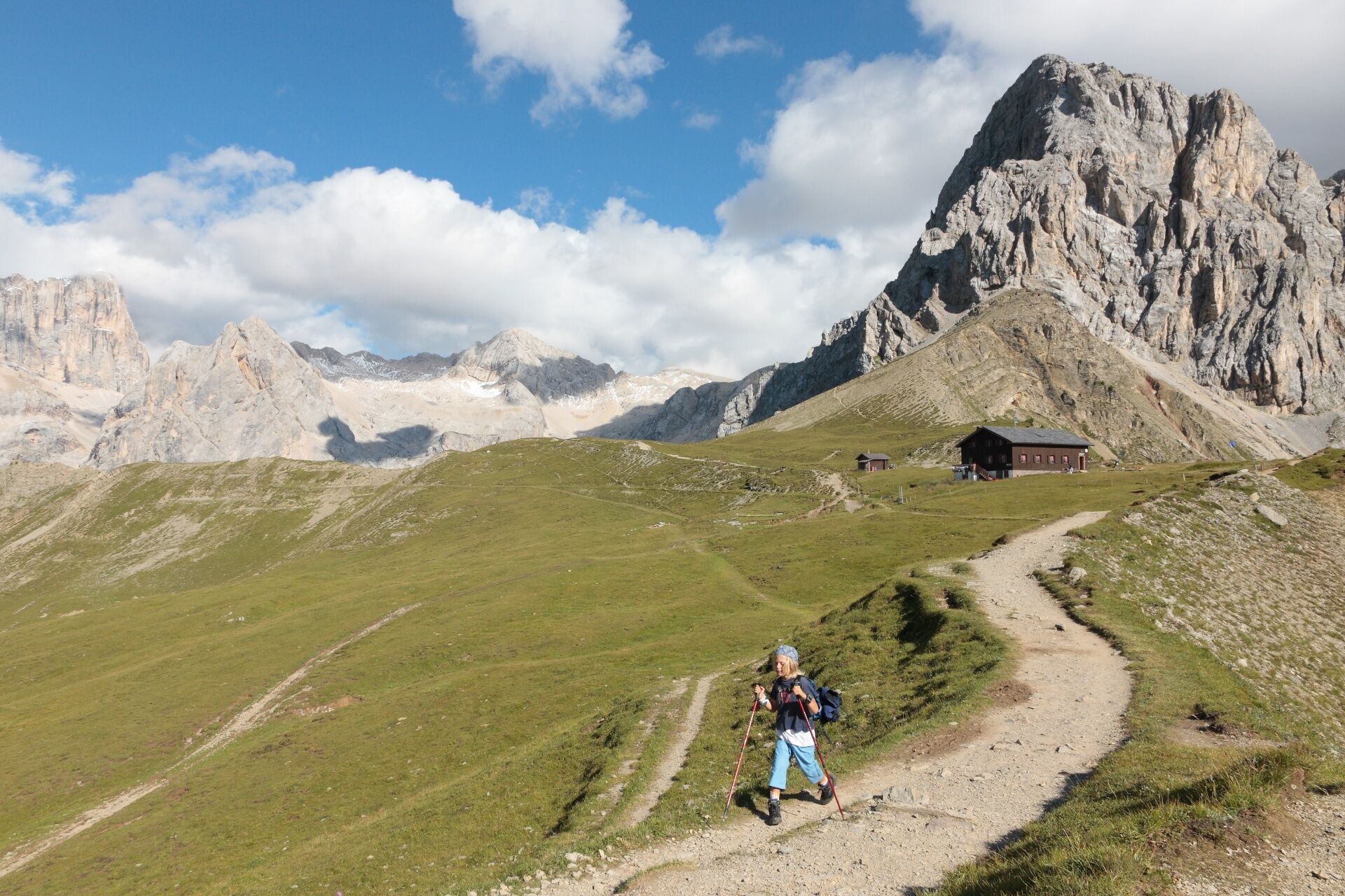
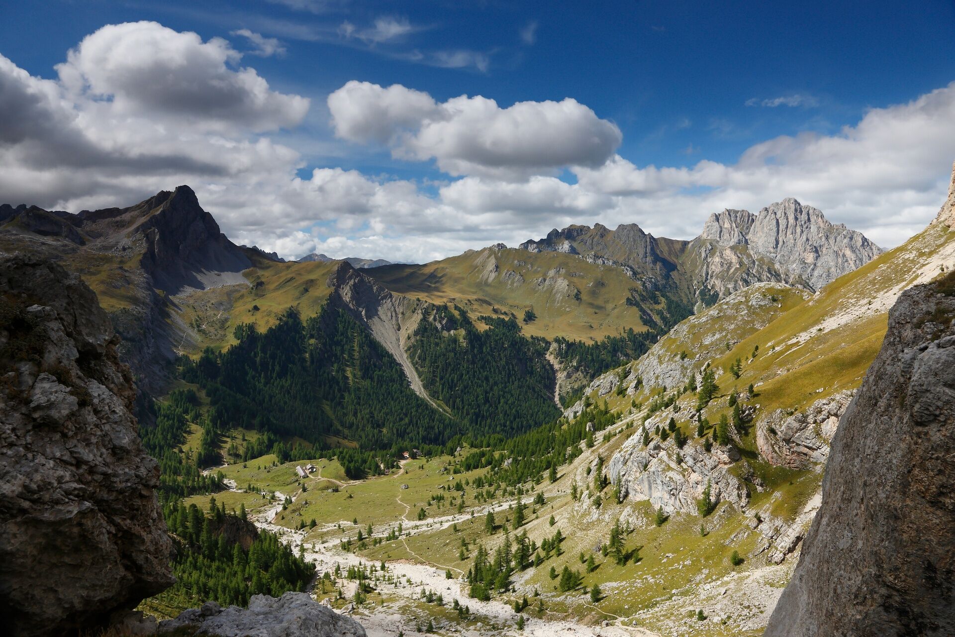
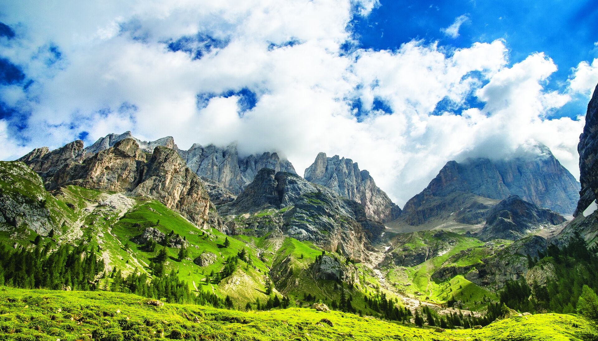
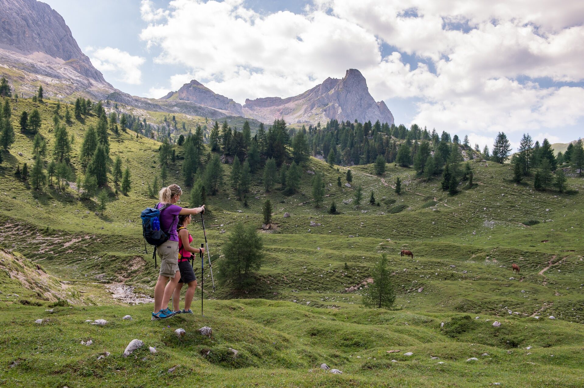
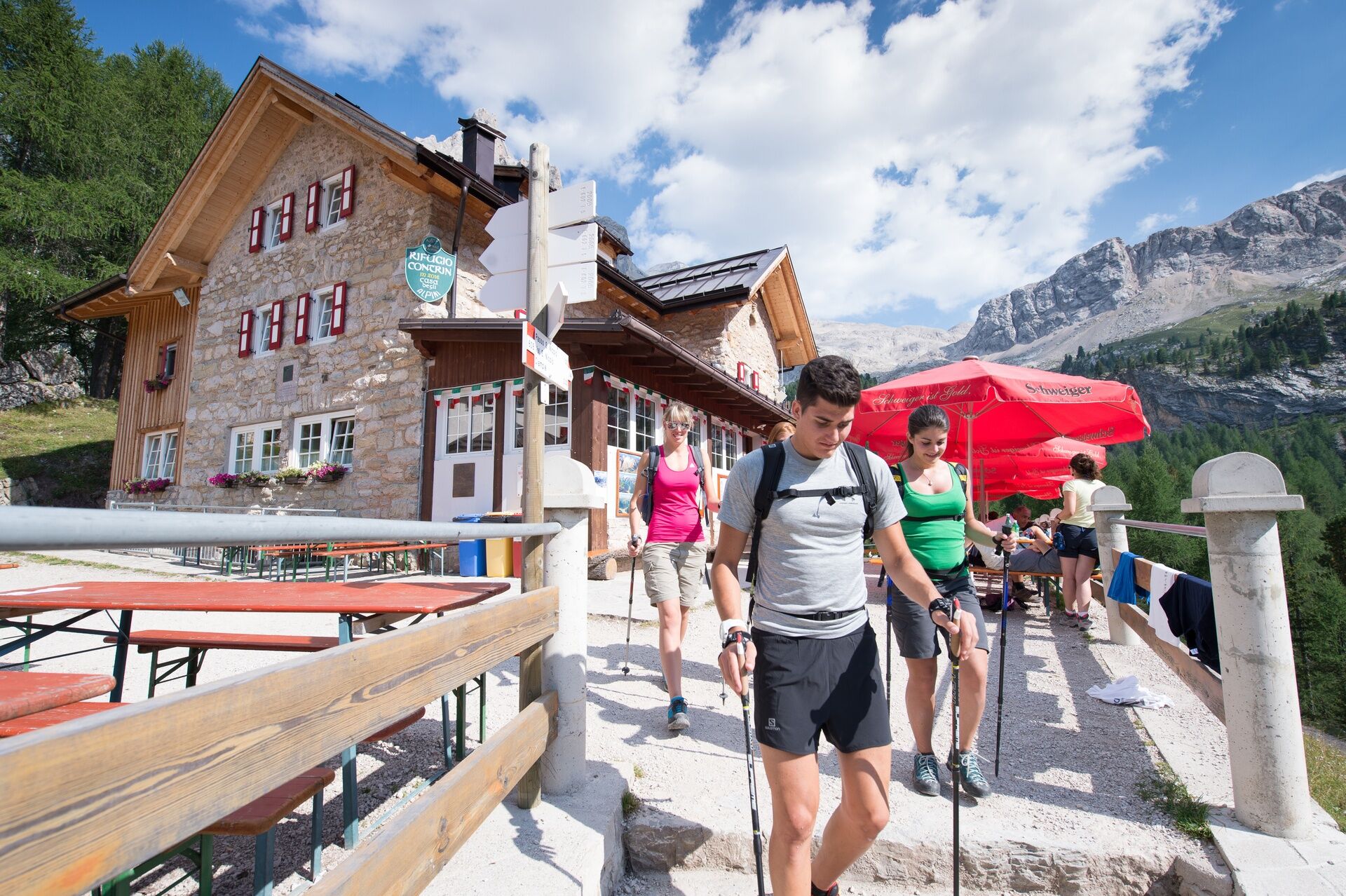
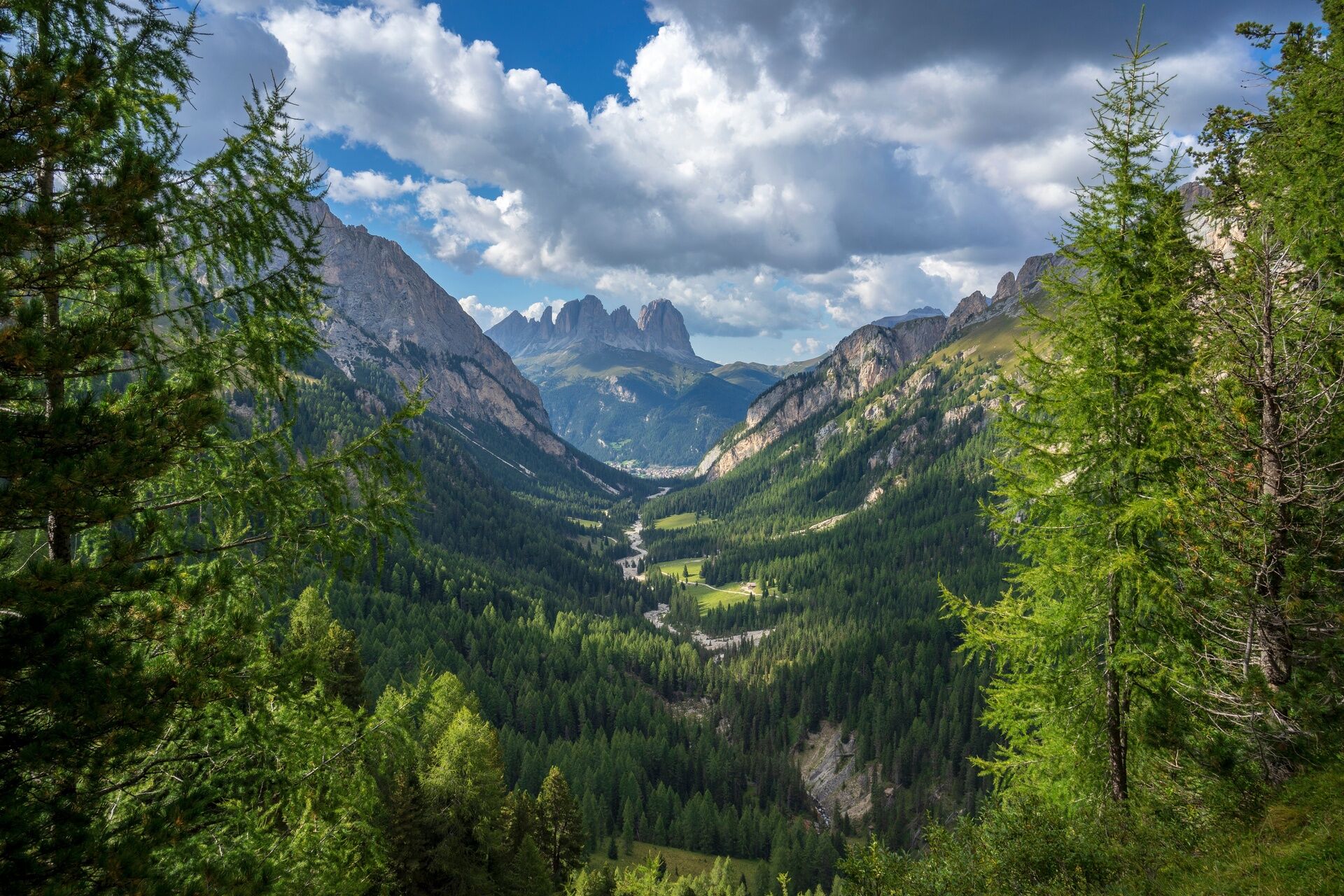
From Alba take the cabin lift up to Ciampac. Now walk up through the Ciampac basin where you will find some refuges. Next you come to a fork. Joining from the right is the path no. 613 (now it has become a ski-run) from "Sela Brunéch" Pass. Follow it to the left passing by two lifts. The path then becomes steeper. After a final zigzag you will reach the "Forcia Neigra" Pass (1 hour 30). Keep going on path no. 613, partially equipped with metallic rope, around the north face of the "Sas Neigher" up to the saddle between the "Sas Neigher" and the "Torre Dantone". Now go down across the "Ciamp de Mez" pastures towards the crest which divides the Val San Nicolò from the Val Contrin. Keep going eastwards and up over the "Varosc" ridge. Nearby there are tunnels and trenches from WW1. From here you will see the refuge and San Nicolò Pass (3 hrs). Next take the path up behind the refuge (no. 608), which then descends through the "Pré de la Vaces" (path no. 608) in full view of the south face of the Gran Vernel and of the Marmolada mountains. Carry on over the "Lasté de Contrin" where you will come to a sparse wood. You will come out in the "Buja de Contrin" (Contrin basin). Cross the stream "Ruf de Contrin", another stream coming down from Val Rosalìa, and you will soon reach the Contrin Refuge. The way back is straight down the Val Contrin (path no. 602). This glacial valley leads back to Alba and the going is quite easy up to the end.

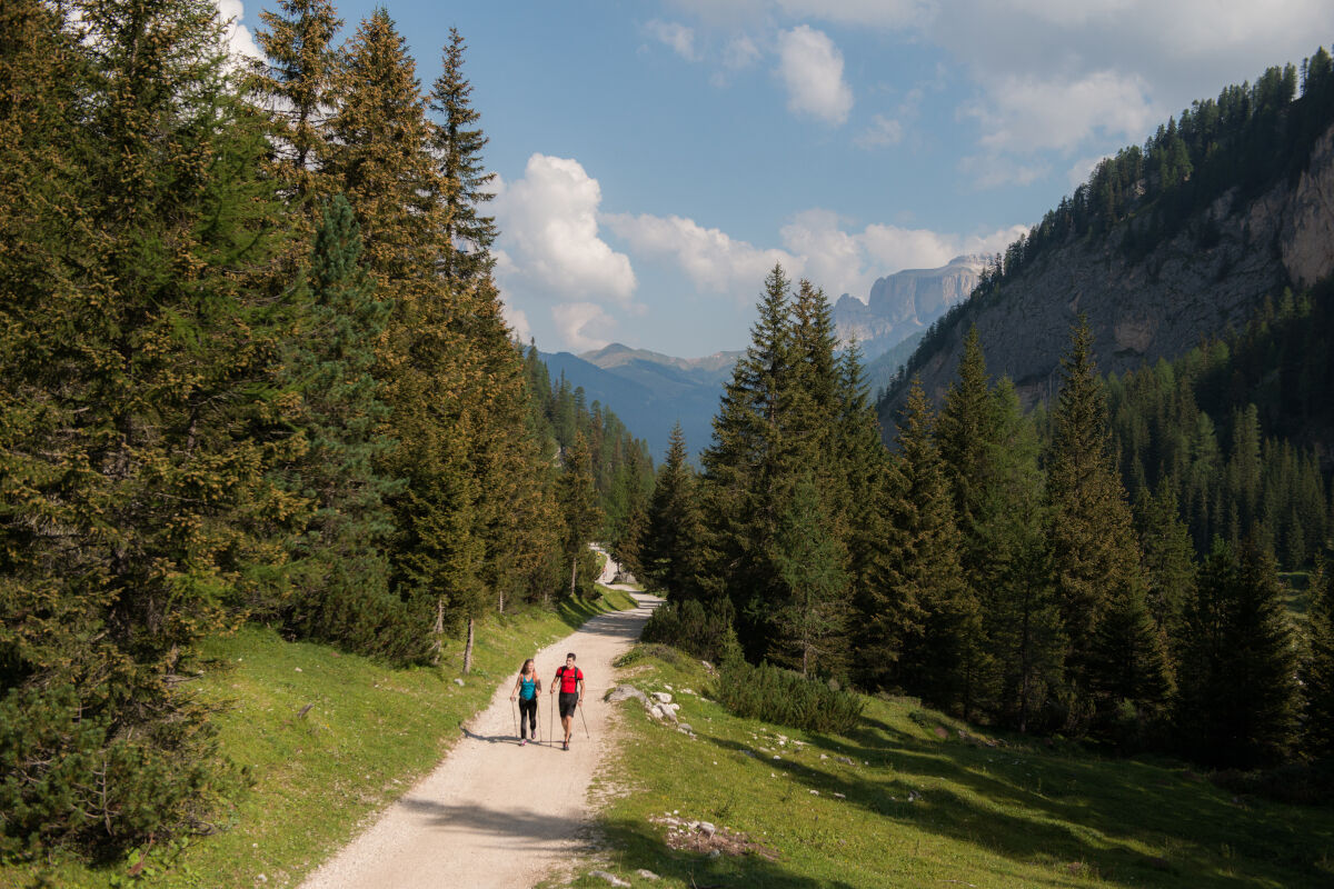
The itinerary ends in Val Contrin. Descent is on foot to Alba (path no. 602). Eventual pay shuttle bus service from Baita Locia Contrin Refuge to the village.
Tak
Tak
Wear adequate clothing, footwear and equipment suitable for the length and grade of difficulty of trail to be taken. Always try to be self-sufficient and carry with you the necessary to face possible emergency situations and a first aid kit.
Plan your excursion according to your skills and the weather.
Walk slowly, enjoy the landscape and the silence.
Inform somebody about your itinerary, return time and possible changes.
Rely on professionals (Alpine and local guides).
Help those in need. Call 112 only in case of real necessity.
Make sure you have suitable clothes and equipment + some water and snacks.
Respect the environment around you and its inhabitants. Bring back your rubbish.
Follow the marked trails avoiding those in the bike park.
To protect the wonders of nature, leave everything in its place.
Bring your pet along, but keep it on a leash.
Other accesses to the Val di Fassa
from the A27 (Venice) motorway, exit Belluno/Ponte nelle Alpi, S.S. 203 for Agordo and S.P. 346 Passo San Pellegrino - Moena (Val di Fassa). From the Moena bypass towards Canazei from the A27 (Venice) motorway, exit Belluno/Ponte nelle Alpi, S.S. 203 for Agordo/Alleghe/Rocca Pietore. S.P. 641 Passo Fedaia - Canazei coming from Arabba, S.S. 48 Passo Pordoi - Canazei from Val Gardena, S.S. 242 Passo Sella - CanazeiPublic transport lines SAD - Val di Fassa:â¯
line no. 180 Vigo di Fassa - Carezza Pass - Bolzano line no. 471 Dolomites passes (Sella Pass, Gardena Pass, Campolongo Pass, Pordoi Pass, Fedaia Pass). Service available in summer onlyCar park near the "Ciampac" gondola valley station in Alba di Canazei.
Strèda Roma, 36
38032 Canazei (TN)
Phone +39 0462 609500
info@fassa.com
www.fassa.com
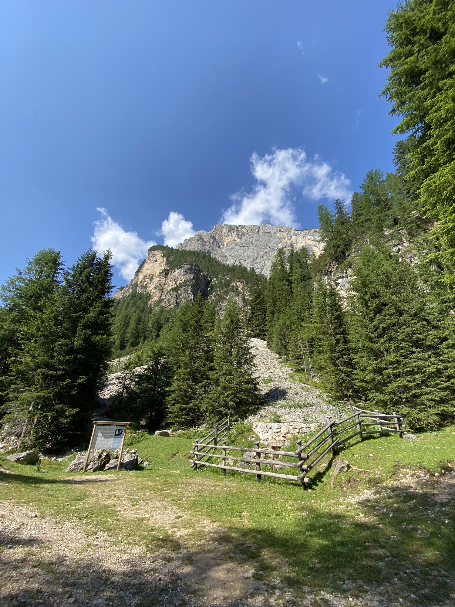
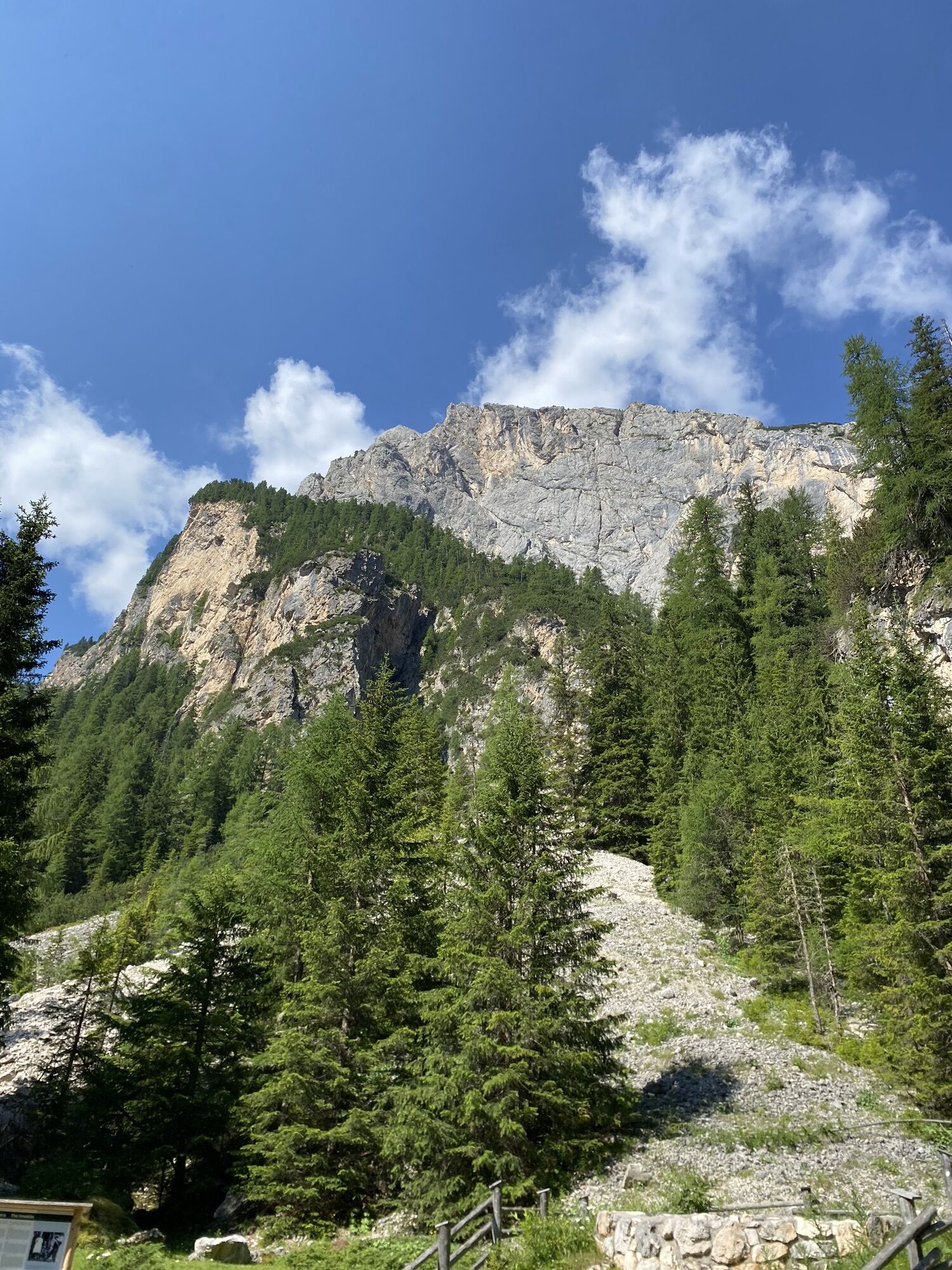
Near the crest of "Varòs", several emplacements dating back to the First World War, tunnels and shelters of Austrian artillery units are still visible. Near the "Pré de Contrin" esplanade are the remains of the largest barracks in the area garrisoned first by the Bavarian Alpenkorps and later by the Standschützen of Castelrotto. Val Contrin was one of the access gates to the first Austrian lines on the Marmolada. In fact, the Contrin Hut or Contrinhaus was the headquarters of the Austrian zone command, which was destroyed in September 1915 by the Italian artillery commanded by the famous Captain Arturo Andreoletti.
Kamery internetowe z trasy
-
Pordoi - Pass
-
Canazei - Col dei Rossi
-
Canazei - Col dei Rossi
-
Canazei - Col dei Rossi
-
Pozza di Fassa - Buffaure
-
Canazei - Col dei Rossi
-
Canazei - Col dei Rossi
-
Canazei - Col dei Rossi
-
Canazei - Col dei Rossi
-
Canazei - Col dei Rossi
-
Canazei - Ciampac
-
Canazei - Ciampac
-
Canazei - Ciampac
-
Canazei - Ciampac
-
Pordoi - Pass
-
Canazei - Col dei Rossi
-
Canazei - Col dei Rossi
-
Canazei - Col dei Rossi
-
Canazei - Col dei Rossi
-
Canazei - Col dei Rossi
-
Pozza di Fassa
-
Moena - San Pellegrino Pass / Chalet Isabella
-
Cima Uomo
-
Cima Uomo
-
Cima Uomo
-
Cima Uomo
-
Cima Uomo
-
Cima Uomo
-
Cima Uomo
-
Cima Uomo
Aktywności na trasie
-

Canazei, Trentino-Südtirol/Italien
28.06.2026 – Wycieczka wysokogórska -

Canazei, Trentino-Alto Adige/Italia
18.06.2026 – Wędrówka -
Canazei, Trentino – Alto Adige/Südtirol/Italy
27.03.2026 – Wycieczka narciarska -

Canazei, Trentino – Alto Adige/Südtirol/Italy
27.03.2026 – Wycieczka narciarska -

Canazei, Trentino-Alto Adige/Italia
30.08.2025 – Wędrówka
Popularne wycieczki w okolicy
-
4,6
Pordoi Pass - Sass Pordoi - Forcella Pordoi - Piz Boè - Boè Refuge - Forcella Pordoi - Pordoi Pass
ciężkiWędrówka 8,39 km -
5,0
Um den Langkofel
średniWędrówka 9,76 km -
4,9
Lang- und Plattkofel Umrundung
średniWędrówka 17,5 km -
4,8
Santnerpass Klettersteig
średniVia ferrata 8,29 km -
4,8
Langkofel-Umrundung
średniWędrówka 12,9 km -
4,0
Der Friedrich-August-Weg
średniWędrówka 10,4 km -
5,0
Langkofel Klettersteig/Ferrata Furcela de Saslonch
ciężkiVia ferrata 7,07 km -
4,8
Pisciadùsteig Sella Gruppe
średniVia ferrata 7,15 km -
4,4
Dolomiten Sellagruppe, Alb. Col di Lana, Sas de Pordoi, Piz Boé retour 22.06.2016
średniWędrówka 5 km -
5,0
Ciampedie - Gardeccia - Refuges Vajolet and Preuss - Refuge Re Alberto I - Gardeccia - Ciampedie
ciężkiWędrówka 11,8 km
Wędrówki i tropienie


Nie przegap ofert i inspiracji na następne wakacje
Twój adres e-mail została dodana do listy mailingowej.