






Frainus
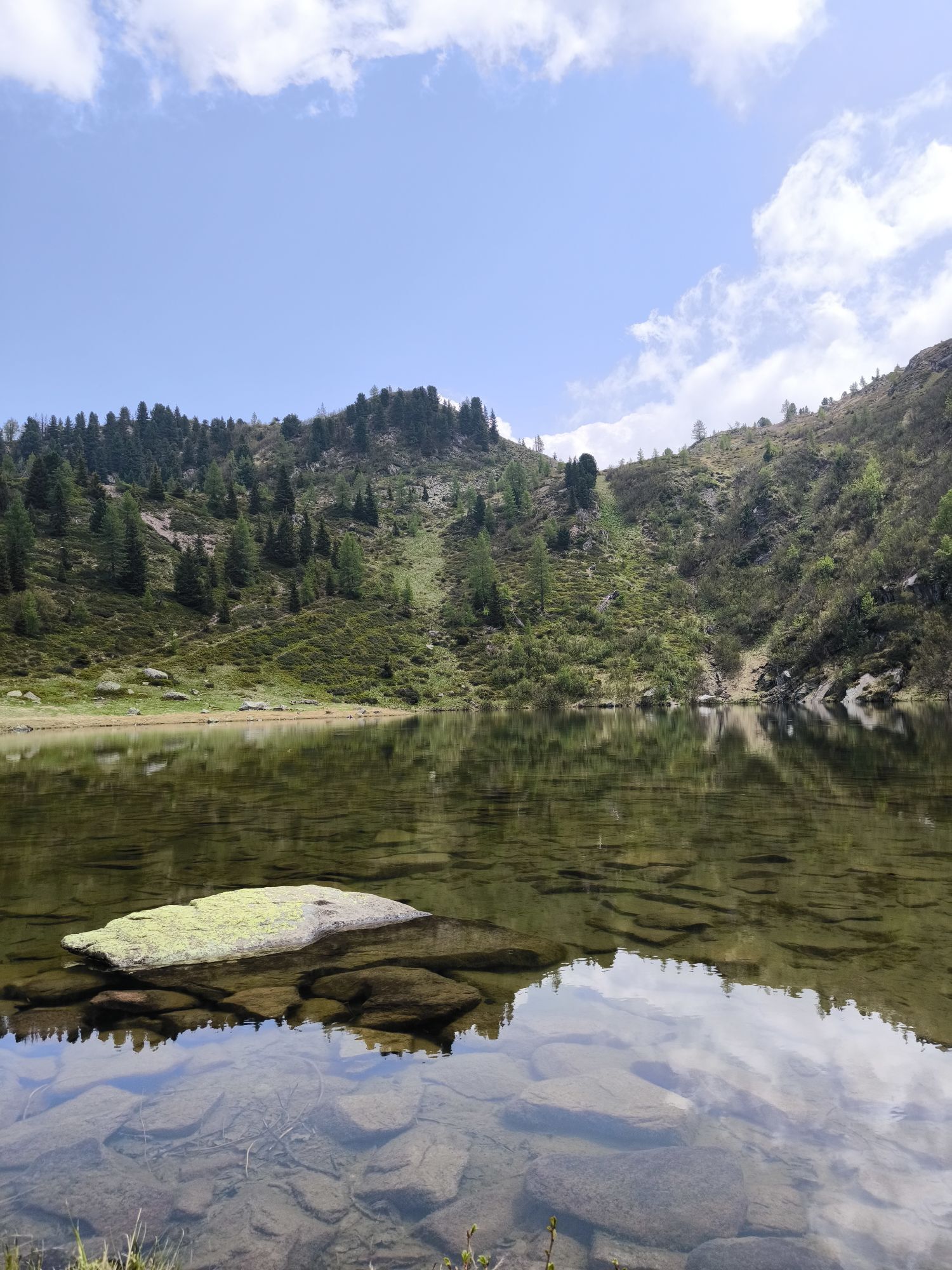
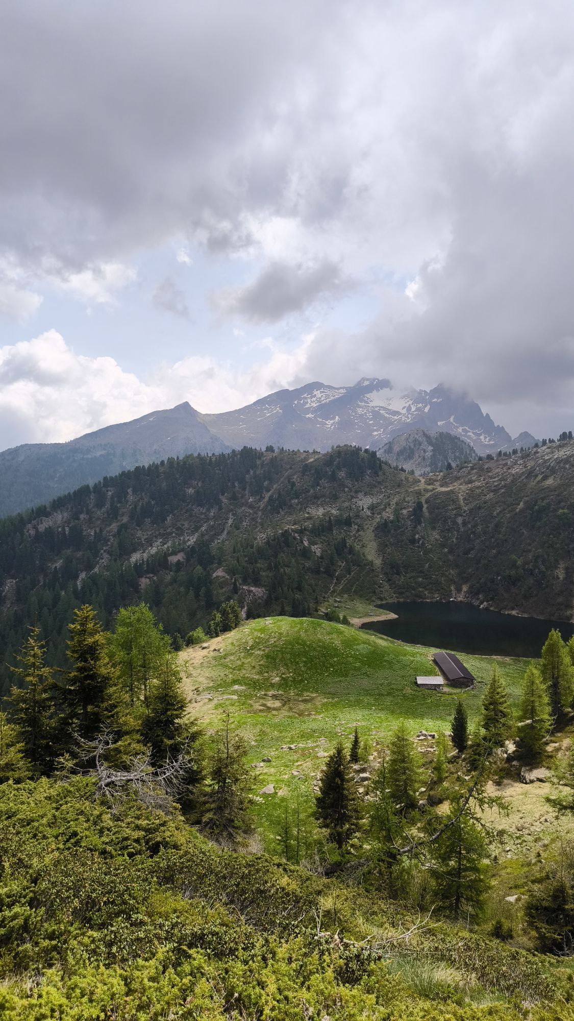
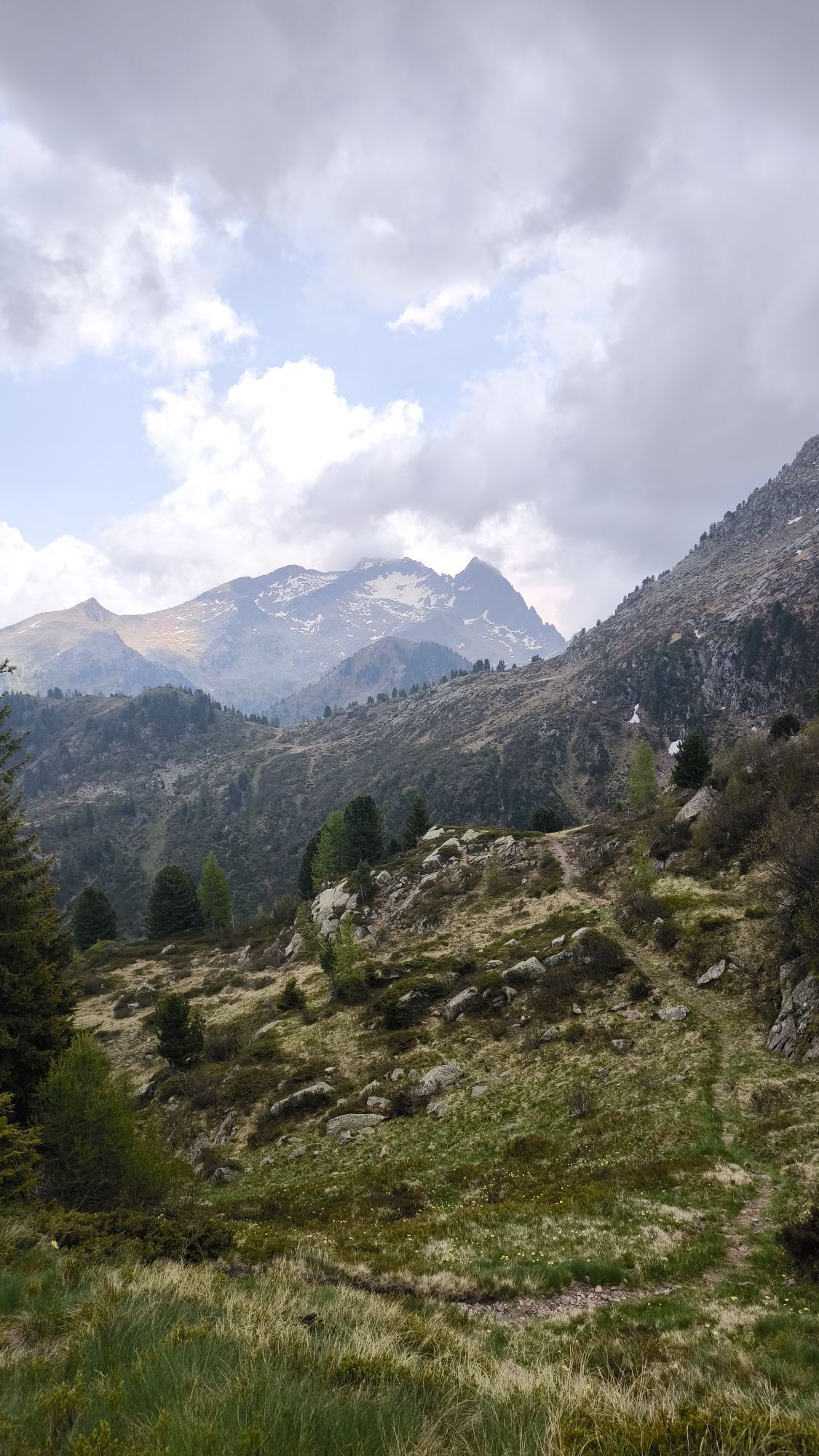
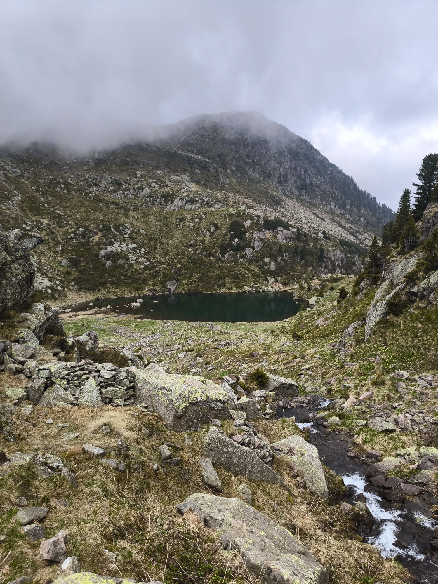
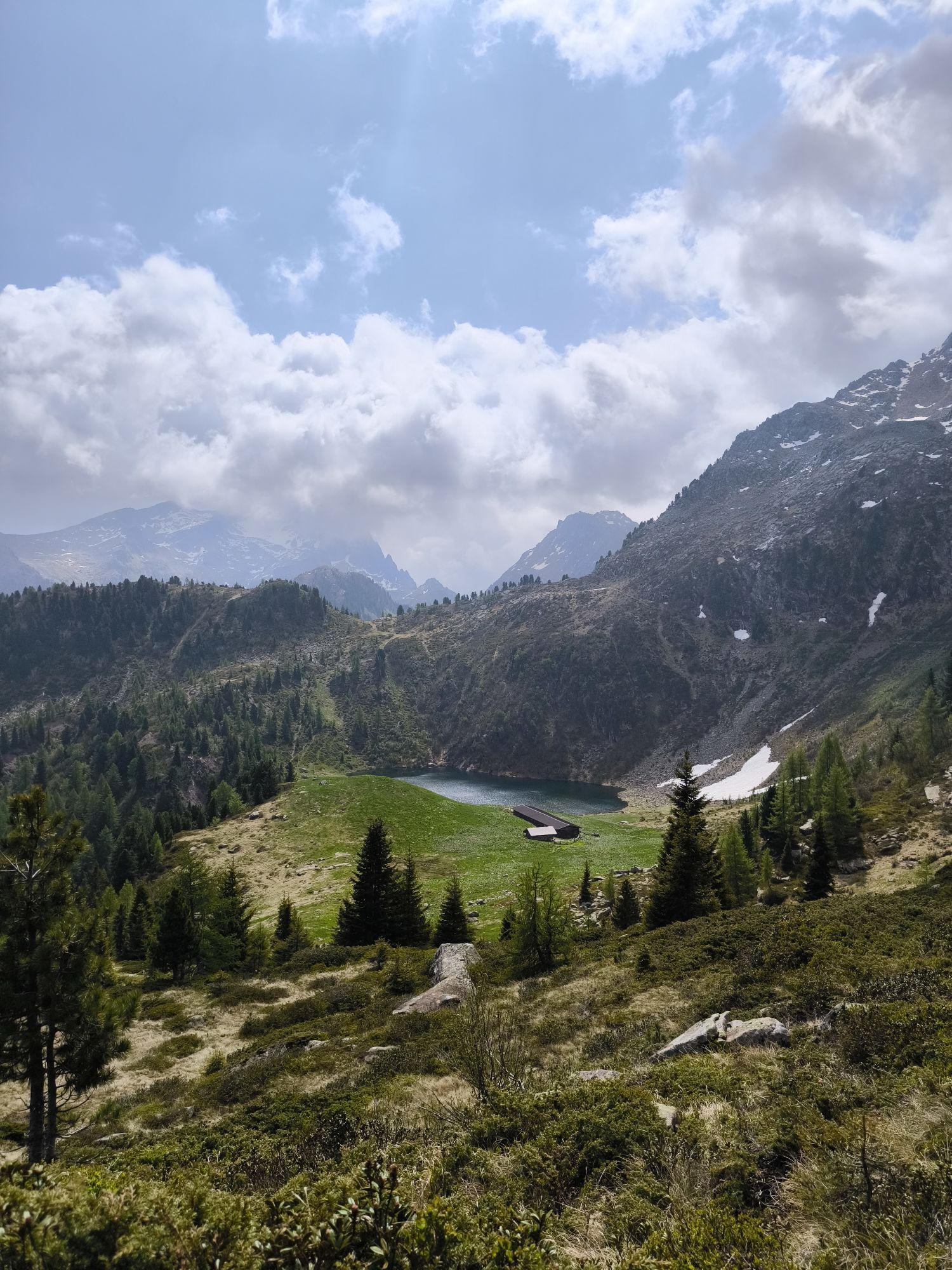
Easy and funny walk in the cool of the woods to discover the world of birds among educational feathers, nests, hidden eggs and eagles to ride.



This is an easy loop of a trail that if you are careful enough to do quietly, then you will probably make some surprising encounters. Look carefully and keep your ears pricked and you will see just how many wild birds live in our mountains.
Around a corner, behind a tree, past a large rock and on to a small clearing, along a series of interactive stations, where you can learn to recognise the different birds from their plumage, the traces they leave behind them … but a pleasant surprise could see your imagination take ï¬ight!
Even the youngest visitors will ï¬nd interactive play stations created using materials from the woods.
Tak
Tak
Tak
Hiking shoes, rain-jacket, hiking poles, water, sun cream
THE 10 RULES FOR HIKERS
Prepare your itinerary beforehand Choose an itinerary that suits your physical abilities Choose suitable clothes and equipment Check the weather forecast Hiking by yourself is more risky; if this is the case, take a mobile phone with you Leave information about your itinerary and your expected return time If you are not sure about your itinerary, contact an Alpine Guide Pay attention to signposts and directions that you find along your way Do not hesitate in going back if you feel too tired In case of emergency call 112Please note that the practicability of the itineraries in a mountain environment is strictly linked to the contingent conditions and is therefore influenced by natural phenomena, environmental changes and weather conditions. For this reason, the information contained in this page may have changed. Before leaving for a tour, make sure the path you will approach is still accessible by contacting the owner of the mountain hut, the alpine guides or the visitor centres of the nature parks, the info offices of the local tourist board.
From Predazzo take the road to Passo Rolle. After the Bellamonte village turn left directon "Ski Area Bellamonte - Alpe Lusia"
Bus TrentinoTrasporti and Shuttle Predazzo-Bellamonte-Paneveggio
Numerous parking lots at the lifts
APT Val di Fiemme - Tel. +39 0462 241111 - info@visitfiemme.it - www.visitfiemme.it
Alpe Lusia Bellamonte - Tel. +39 0462 576234 - bellamonte@alpelusia.it - www.alpelusia.it
Extremely easy walk, entirely in the shade and sutable for strollers.
Uzyskaj wgląd Zawsze na żywo z ponad 9 500 kamer internetowych. bergfex Jako użytkownik Pro, możesz teraz zobaczyć odpowiednie kamery internetowe dla wielu wycieczek w aplikacji wycieczki od. Pozwala to na bezpośredni podgląd aktualnych warunków. Popularne wycieczki w okolicy
- 4,8
Torre di Pisa mountain hut
średniWędrówka 9,09 km - 5,0
Ciampedie - Gardeccia - Refuges Vajolet and Preuss - Refuge Re Alberto I - Gardeccia - Ciampedie
ciężkiWędrówka 11,8 km - 4,7
Passo Costalunga - Sella del Ciampaz
średniWędrówka 8,35 km - 5,0
Latemar Umrundung - die Kurze und Bequeme
średniWędrówka 12,1 km - 4,5
Kölner Hütte - Hirzelsteig - Rotwandhütte - Baita Tre - Karerpass
średniWędrówka 9,56 km - 4,4
Cavallazza Peak
średniWędrówka 7,82 km - 5,0
Rosengarten: Cigoladepass und Fassaner Höhenweg
średniWędrówka 15,6 km - 4,8
Latemar Tour - Tour 930
średniMountainbike 37,4 km - 5,0
Giro del catinaccio a nova levante
Wędrówka 11,7 km - 4,5
San Pellegrino Pass - Fuciade - Val Fredda - Malga Boer - San Pellegrino Pass
średniWędrówka 11,1 km
Wędrówki i tropienie


Nie przegap ofert i inspiracji na następne wakacje
Twój adres e-mail została dodana do listy mailingowej.





