







Legends Trail

Poziom trudności: T1
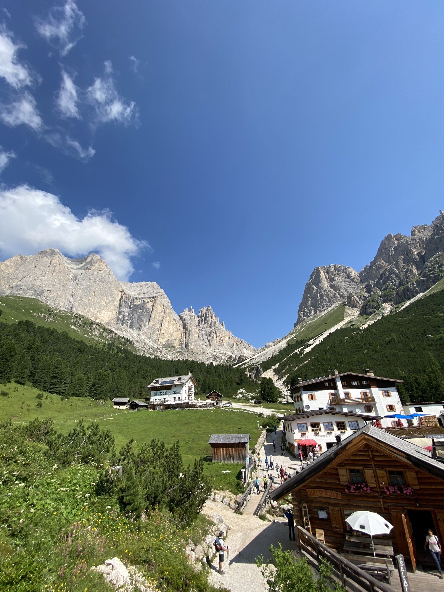
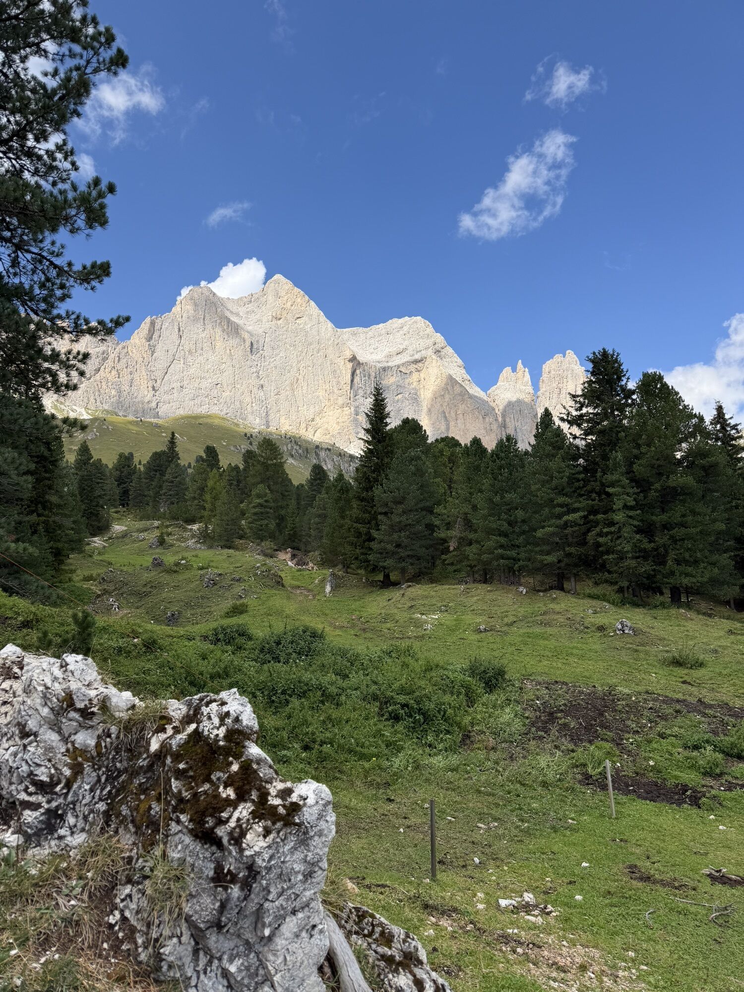
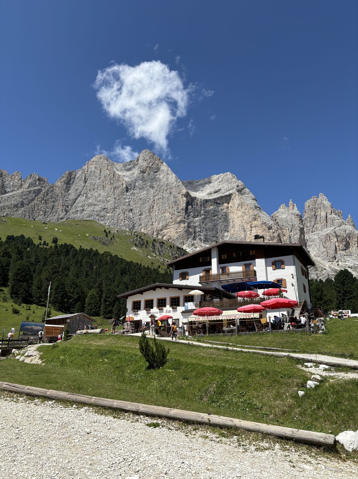
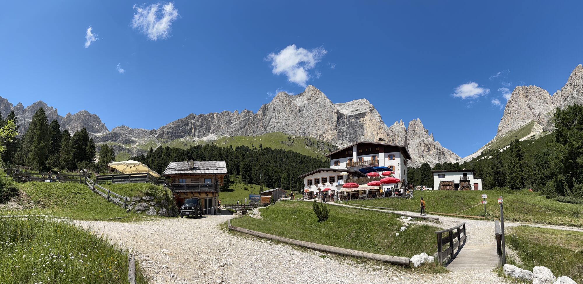
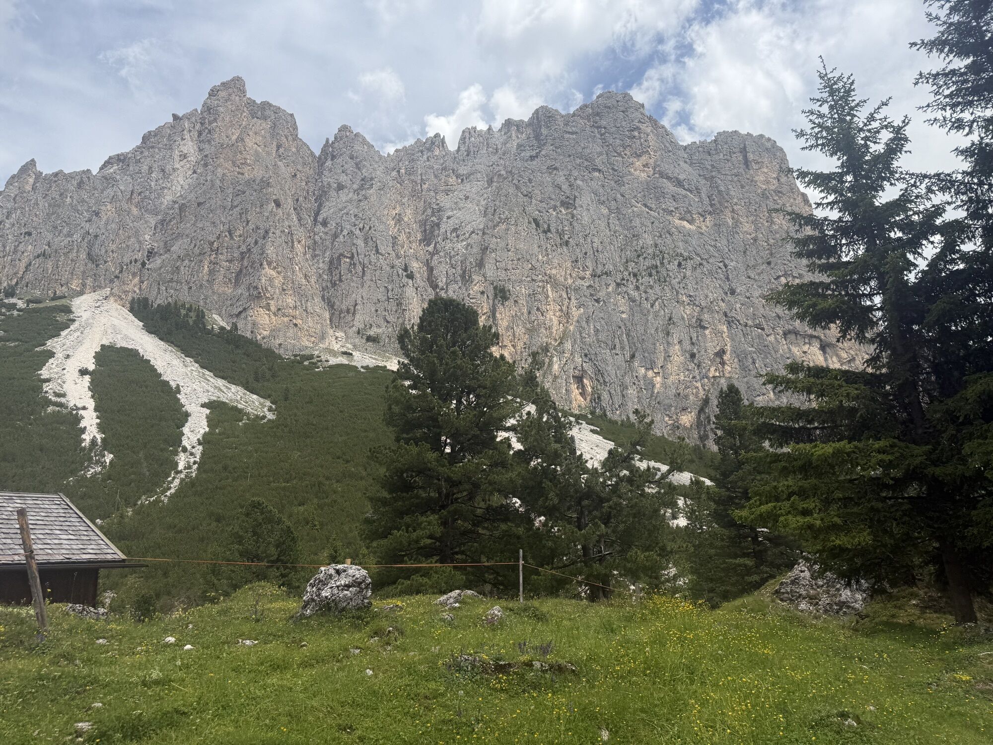
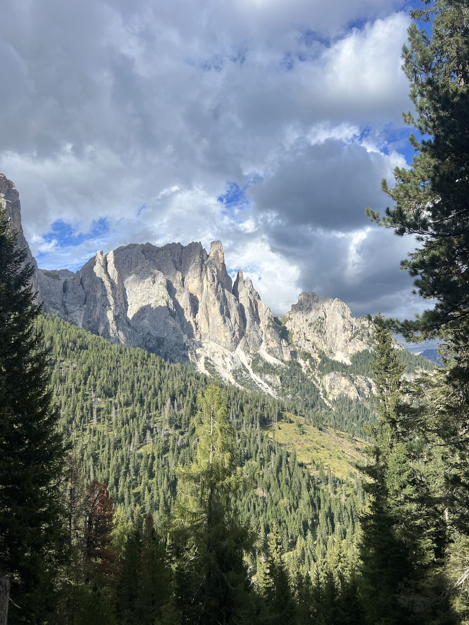
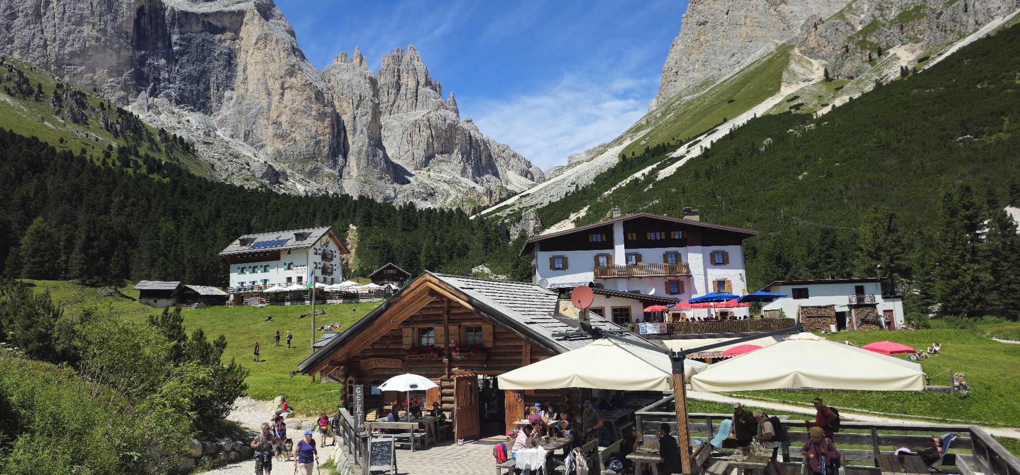
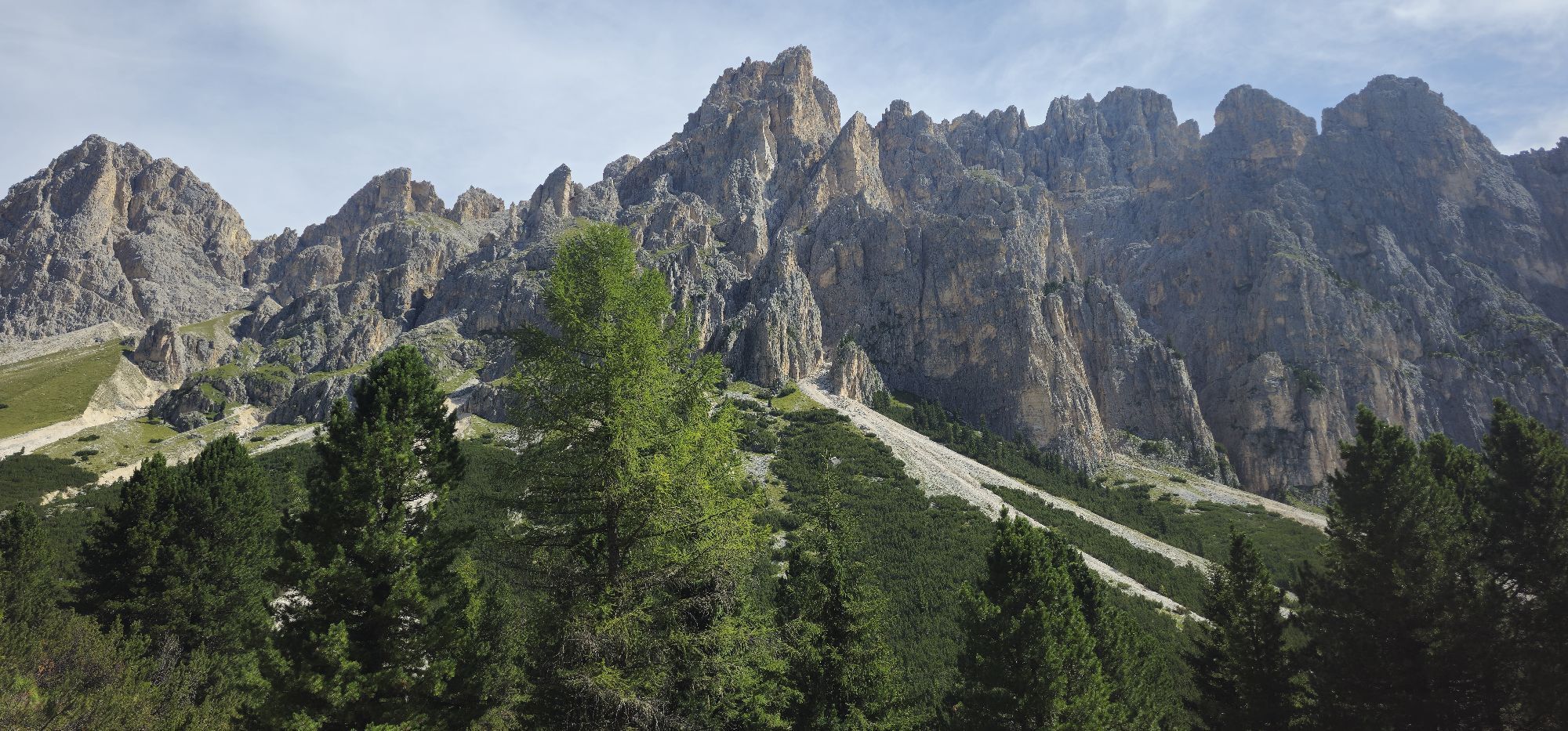
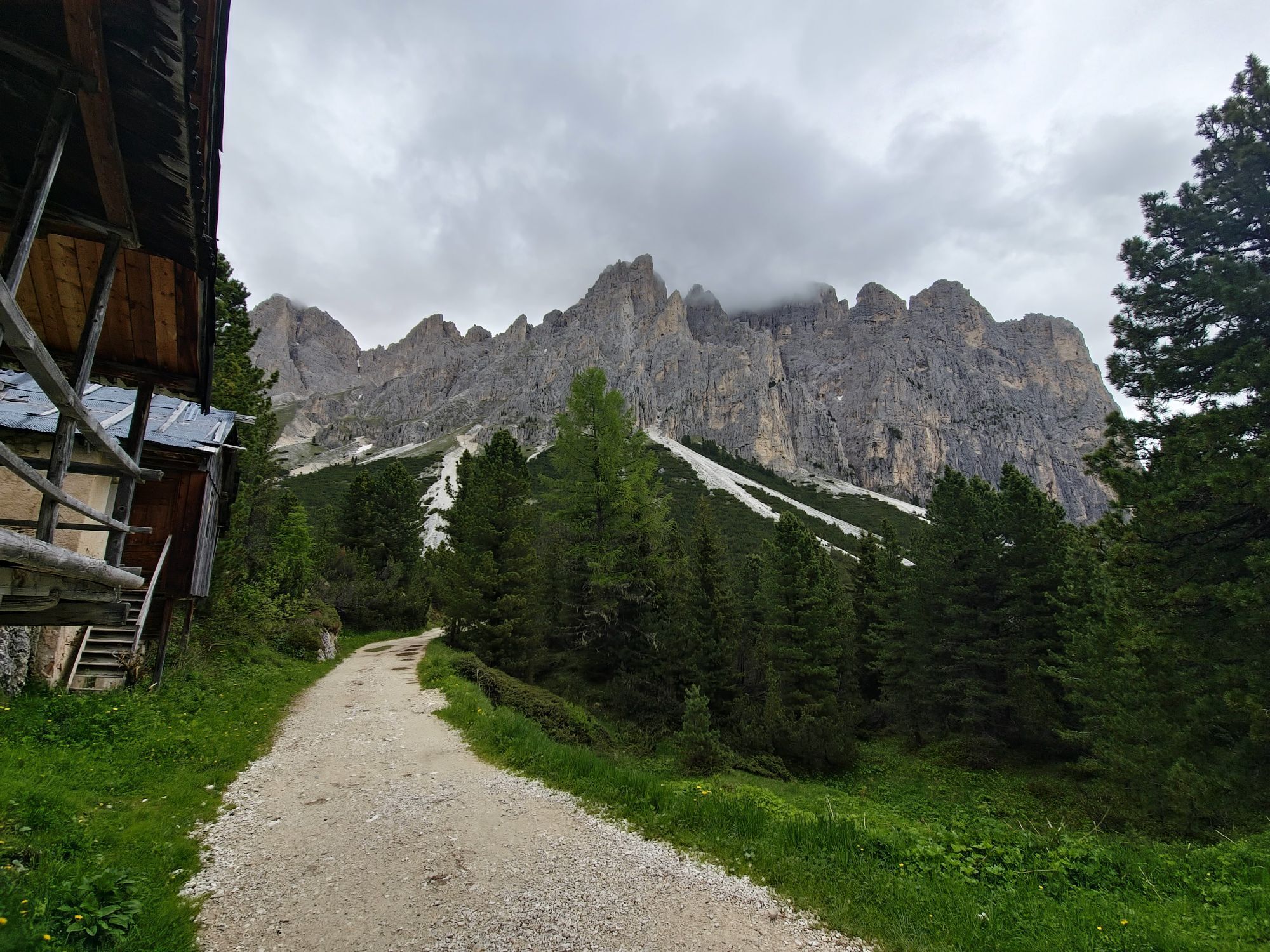
The Legends Trail, easy and suitable for the whole family, leads into the heart of the Dolomites to discover six ancient Ladin valleys, set among the peaks of the Rosengarten. Through pleasant stages,...
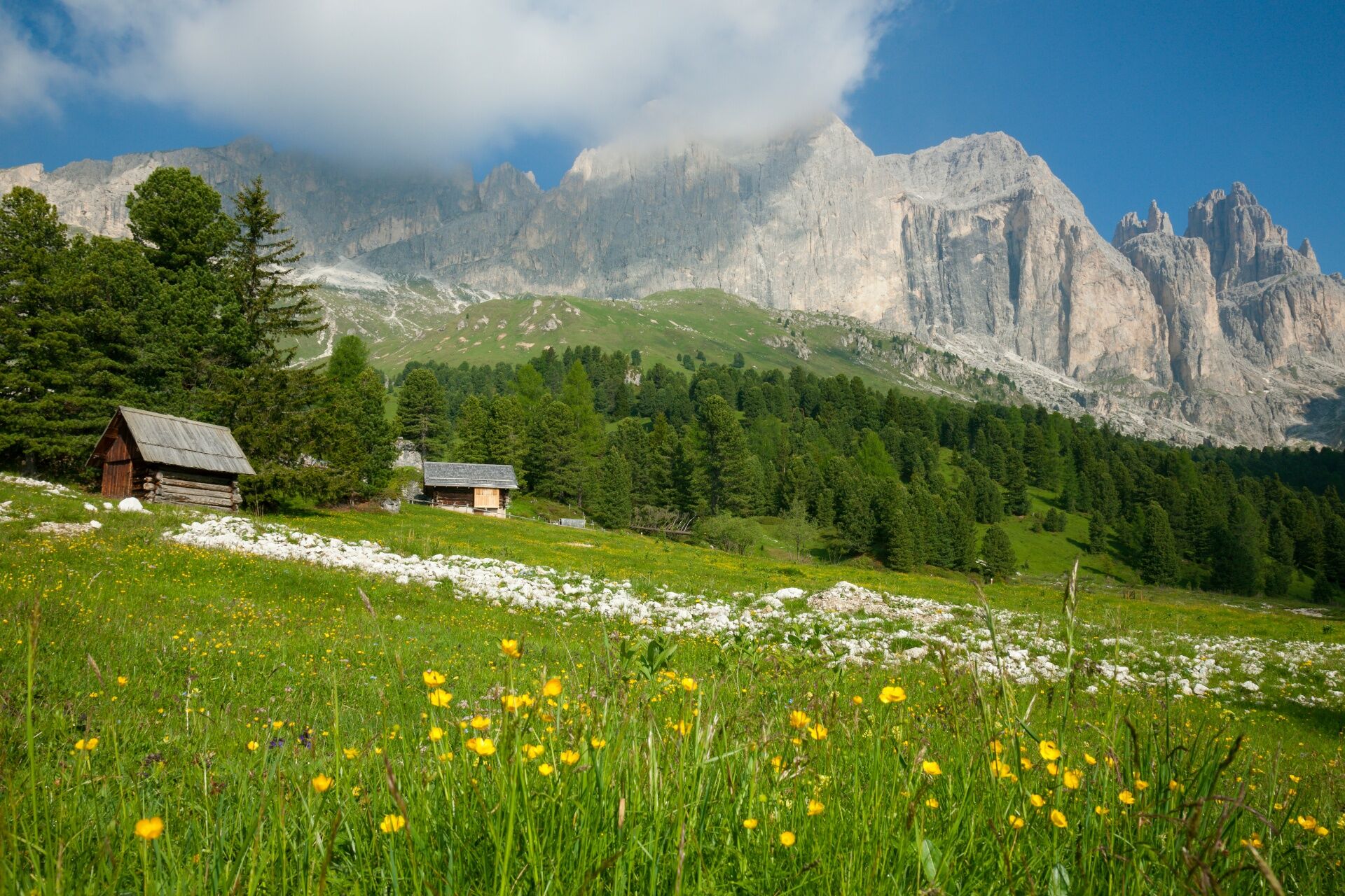
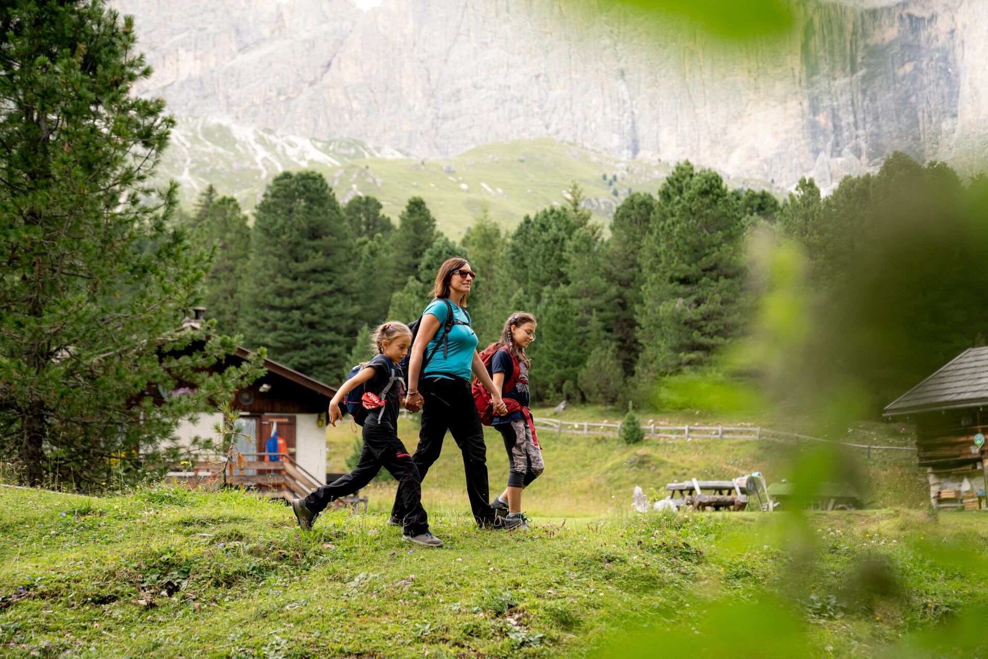
The Legends Trail, easy and suitable for the whole family, leads into the heart of the Dolomites to discover six ancient Ladin valleys, set among the peaks of the Rosengarten. Through pleasant stages, the route tells captivating stories such as the Sorcerers of the Mugoni, Lake Antermoia, King Laurino and the legend of the Roses, Gorzo and Vinella, the "Enrosadira" (Alpenglow) and the Source of Oblivion. An enchanted journey through woods and peaks, where the magic of fairy tales is intertwined with nature.

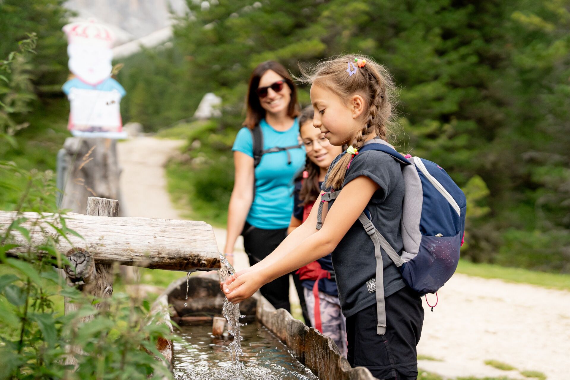
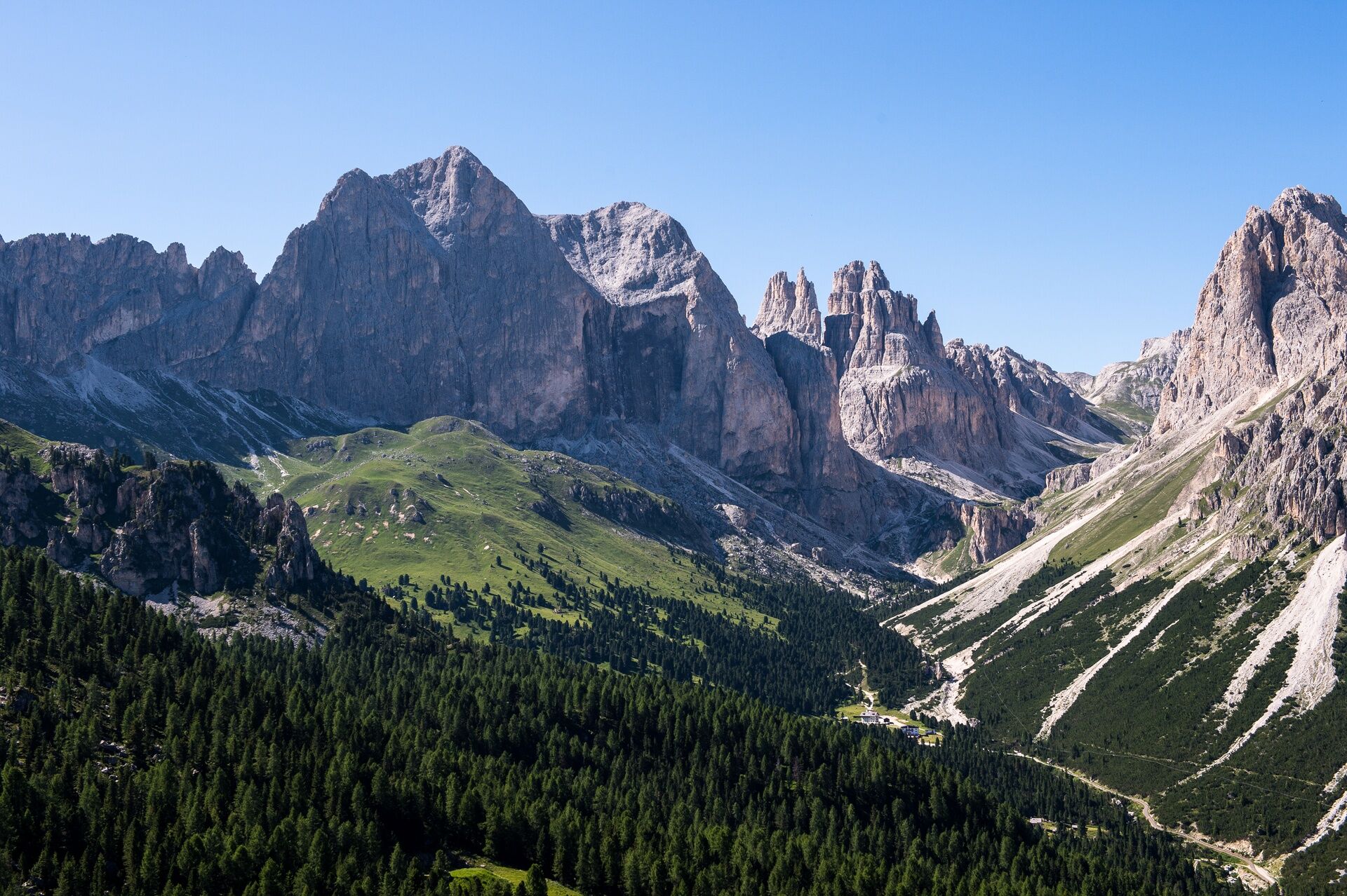
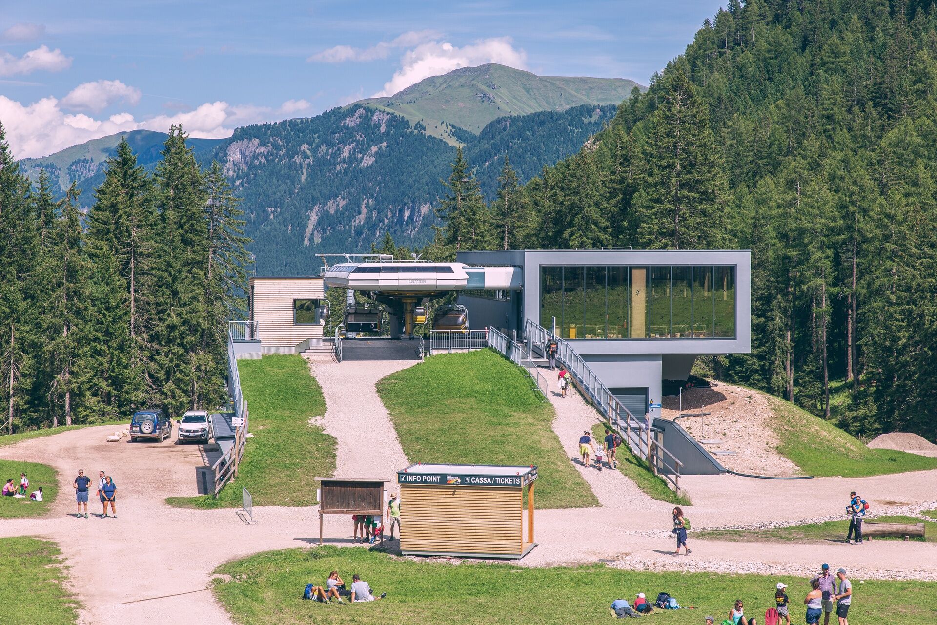
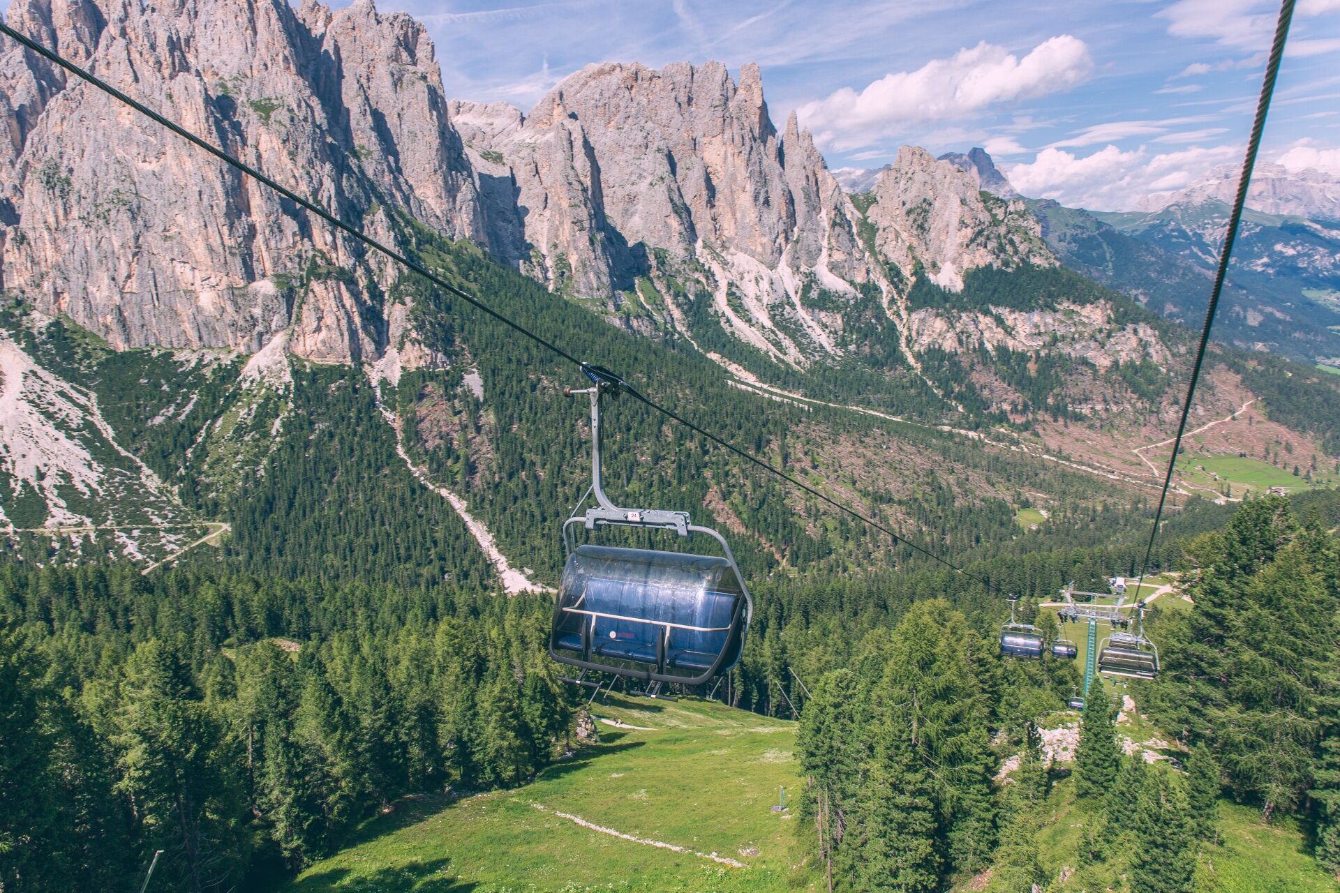
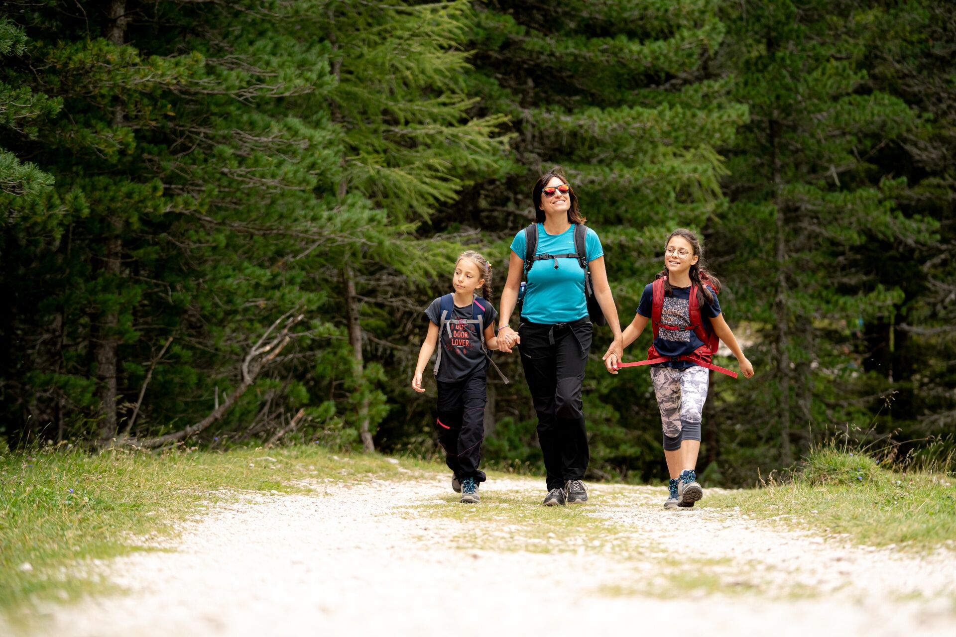
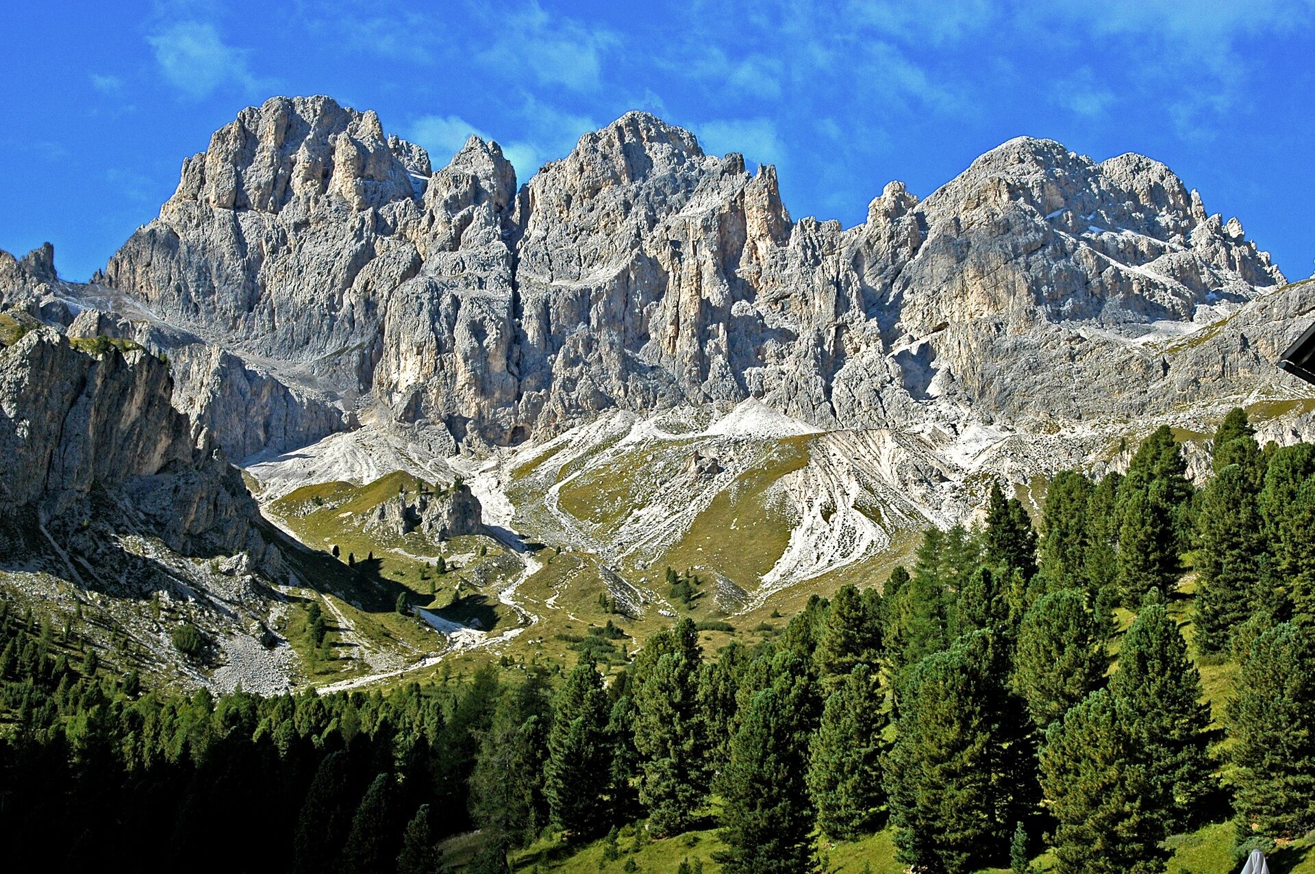
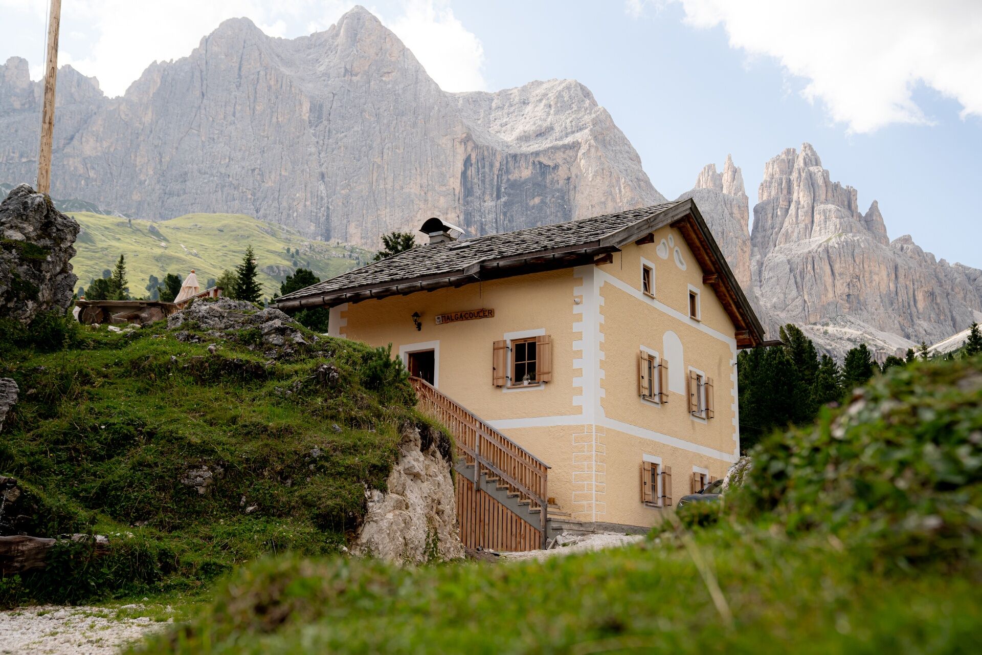
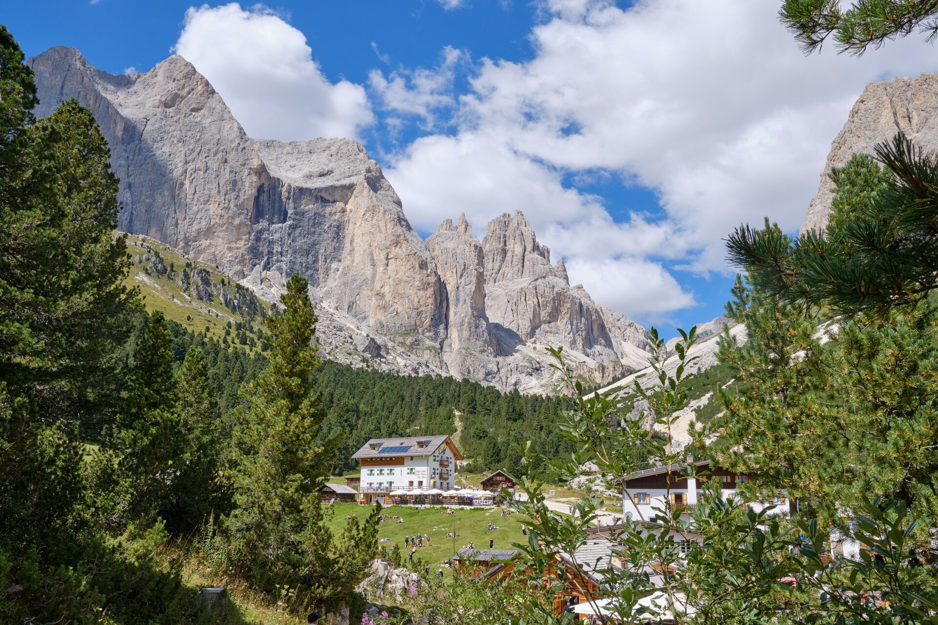
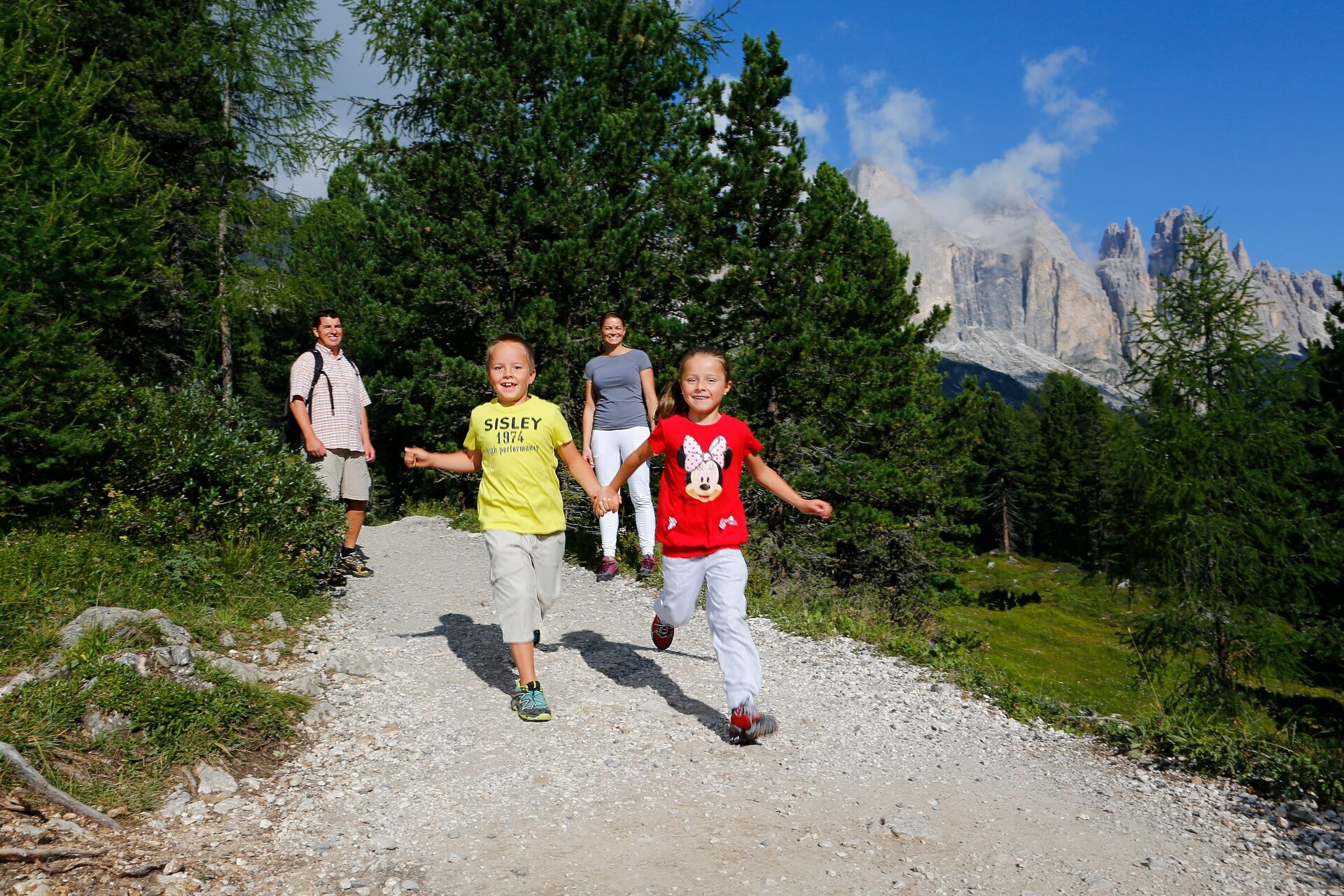
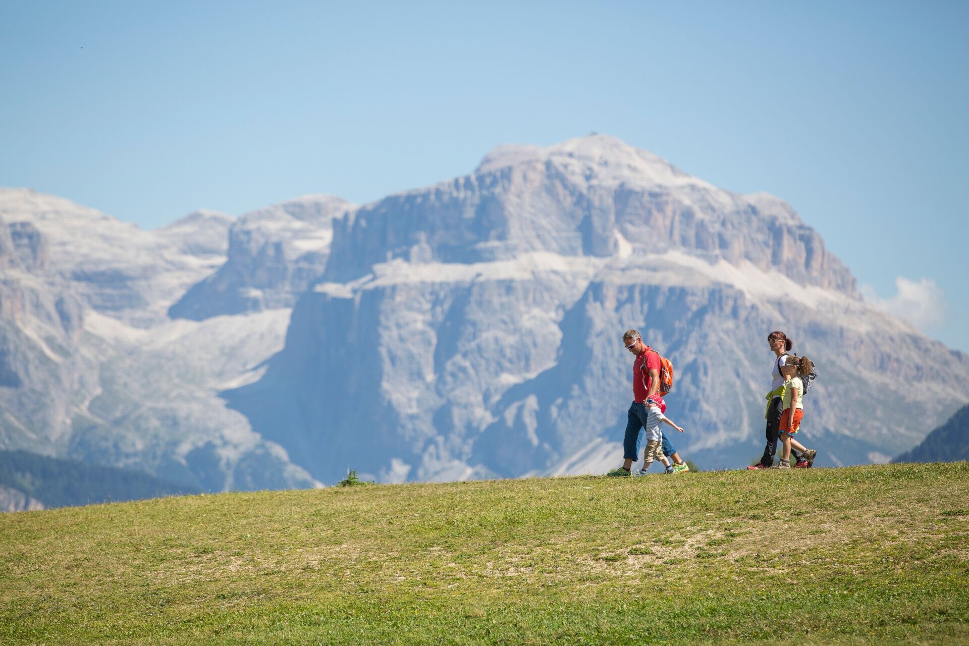
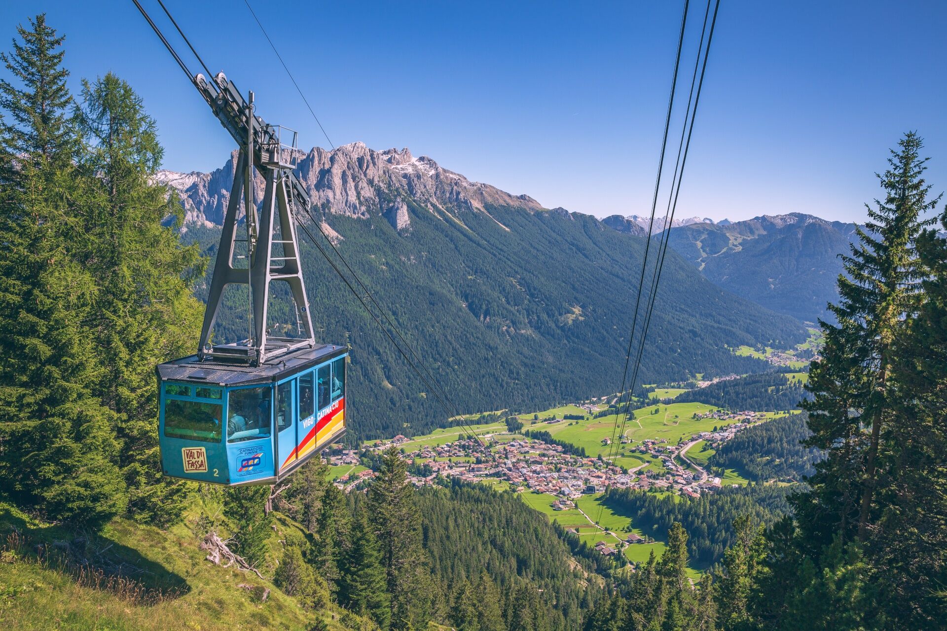

This pleasant walk starts from "Pian Pecei", which is easily reachable by ski lift from Vigo or Pera. The chairlift from Pera arrives in this clearing, and the ski lifts to "Pra Martin" and Ciampedie depart from here.
From the arrival point of the "Vajolet 2" chairlift, take the forest road that runs along the ski slope and tackle a first climb of 400 metres. After this stretch, the path enters the woods. At the crossroads, turn right following the signs for the Legends Trail (Sentiero delle Leggende). The path continues alternating almost flat stretches with short ramps, until you reach a large pasture area with some huts. Go past them and continue to Malga Couler. From here, a final stretch with a steeper slope and uneven surface (about 200 metres) leads to the Gardeccia plain.
For the return, you can go back along the same route or, if you come from Ciampedie, follow the Forest Trail (Sentiero della Foresta).
Tak
Tak
Tak
Tak
Tak
Carry in your backpack the necessary to face possible emergency situations, and a first aid kit.
2. Walk slowly, enjoy the landscape and the silence.
3. Inform someone you trust with your itinerary and the estimated return time.
4. Rely on professionals (Alpine and local guides).
5. Help those in distress. In case of real need call assistance on European emergency number 112.
6. Make sure you have suitable clothes and equipment and enough water and some snacks.
7. Respect the environment around you and its inhabitants. Bring back your rubbish.
8. Follow the marked trails avoiding those in the bike park.
9. To protect the wonders of nature, leave everything in its place.
10. Bring your pet along, but keep it on a leash.
Other access routes to Val di Fassa
From the A27 motorway (Venice), Belluno/Ponte nelle Alpi exit: SS 203 to Agordo, then SP 346 over Passo San Pellegrino to Moena (Val di Fassa). From the Moena bypass, continue towards Canazei From the A27 motorway (Venice), Belluno/Ponte nelle Alpi exit: SS 203 to Agordo/Alleghe/Rocca Pietore, then SP 641 over Passo Fedaia to Canazei From Arabba: SS 48 over Passo Pordoi to Canazei From Val Gardena: SS 242 over Passo Sella to Canazeisüdtirolmobil bus lines - Val di Fassa
Line 180: Vigo di Fassa - Passo Carezza - Bolzano- Nearest bus stop (Trentino Trasporti/SAD): Vigo di Fassa > Strada Rezia/Hotel Carpe Diem or Pera di Fassa > Strada Dolomites/Vajolet Chairlift
Free or paid parking spaces in the vicinity of the valley station of the cable car.
T1
Strèda Roma, 36
38032 Canazei (TN)
Phone +39 0462 609500
info@fassa.com
www.fassa.com
Take the cable car from Vigo + Ciampedie-Pian Pecei chairlift or by chairlift from Pera (Vajolet 1 + Vajolet 2). The Panorama Pass is valid, or you can purchase a return ticket at the lift ticket office.
Kamery internetowe z trasy


Popularne wycieczki w okolicy
-
4,8
Torre di Pisa mountain hut
średniWędrówka 9,09 km -
5,0
Langkofel Klettersteig/Ferrata Furcela de Saslonch
ciężkiVia ferrata 7,07 km -
5,0
Um den Langkofel
średniWędrówka 9,76 km -
4,0
Der Friedrich-August-Weg
średniWędrówka 10,4 km -
4,9
Lang- und Plattkofel Umrundung
średniWędrówka 17,5 km -
4,9
Santnerpass Klettersteig
średniVia ferrata 8,29 km -
4,8
Schlern Bersteigung
średniWędrówka 19,1 km -
4,8
Langkofel-Umrundung
średniWędrówka 12,9 km -
4,7
Puflatsch Umrundung
światłoWędrówka 8,37 km -
4,5
Dolomiten Sellagruppe, Alb. Col di Lana, Sas de Pordoi, Piz Boé retour 22.06.2016
średniWędrówka 5 km
Wędrówki i tropienie


Nie przegap ofert i inspiracji na następne wakacje
Twój adres e-mail została dodana do listy mailingowej.





