



Stories... on the way

Poziom trudności: T1

Welcome to the mountain, explorers!
Stories... on the way (Storie... in cammino) is a journey in nine stages to discover Alpe Lusia, guided by the words of Giusi Quarenghi with Costanza Faravelli, enhanced...
Stories... on the way (Storie... in cammino) is a journey in nine stages to discover Alpe Lusia, guided by the words of Giusi Quarenghi with Costanza Faravelli, enhanced by the illustrations of Andrea Antinori and the experiential questions of the Ludosofici. A journey through stories, images and reflections to look at the mountain with new eyes and rediscover ourselves as a living part of its balance.
The nine stages of the route: 1. Water stories; 2. Running with silence; 3. Memory of stone; 4. Between earth and sky; 5. Micro Worlds; 6. Points of view; 7. From up here; 8. From hand to hand; 9. Dreaming of the summit.

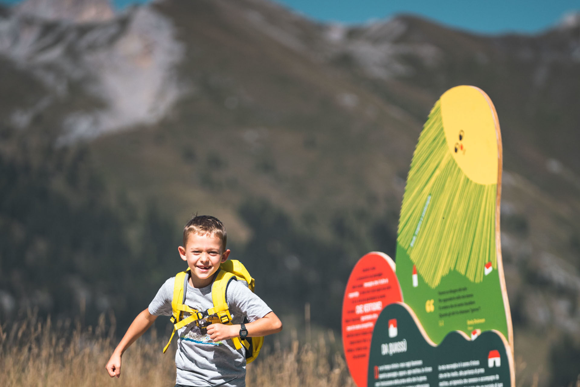
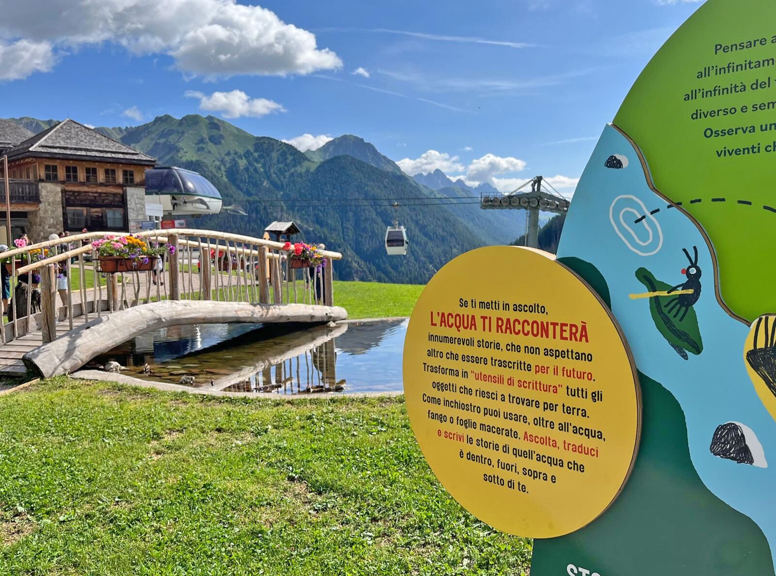
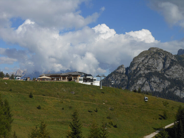
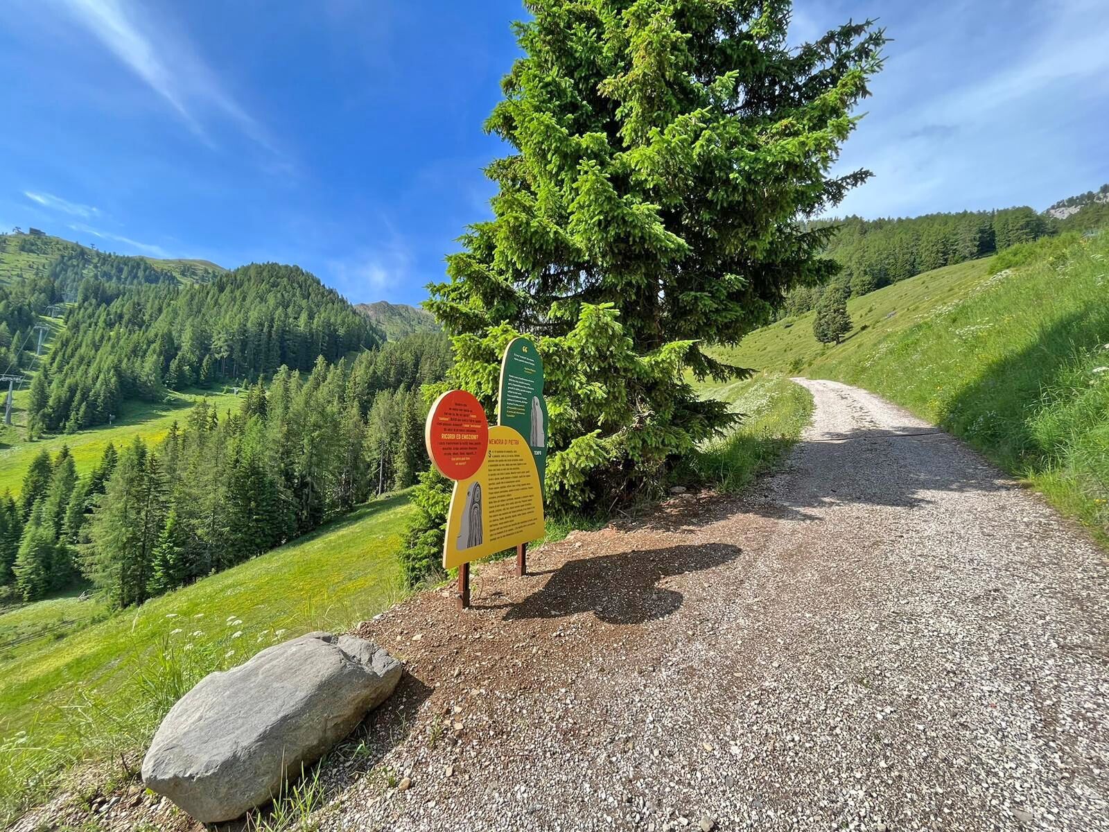
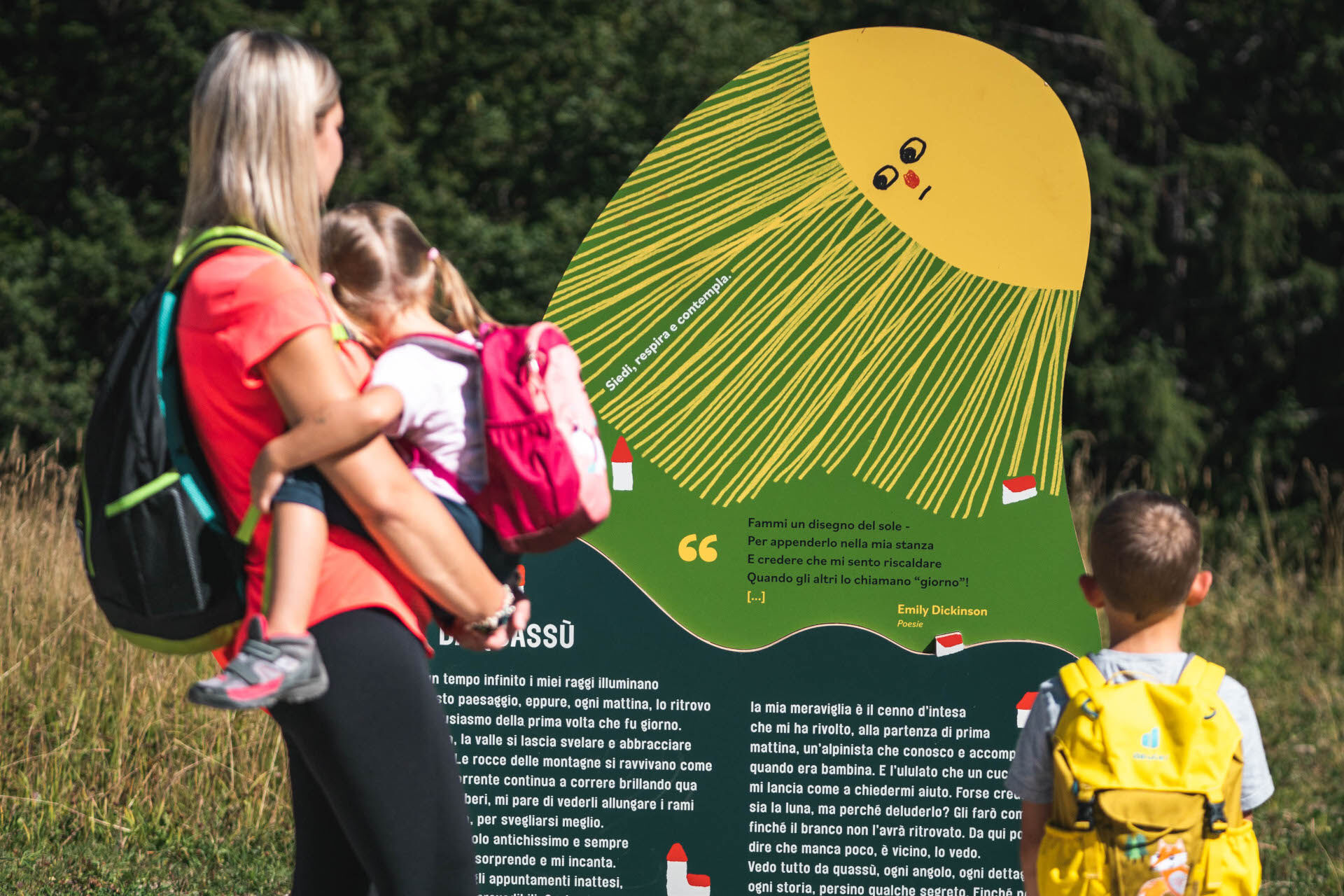
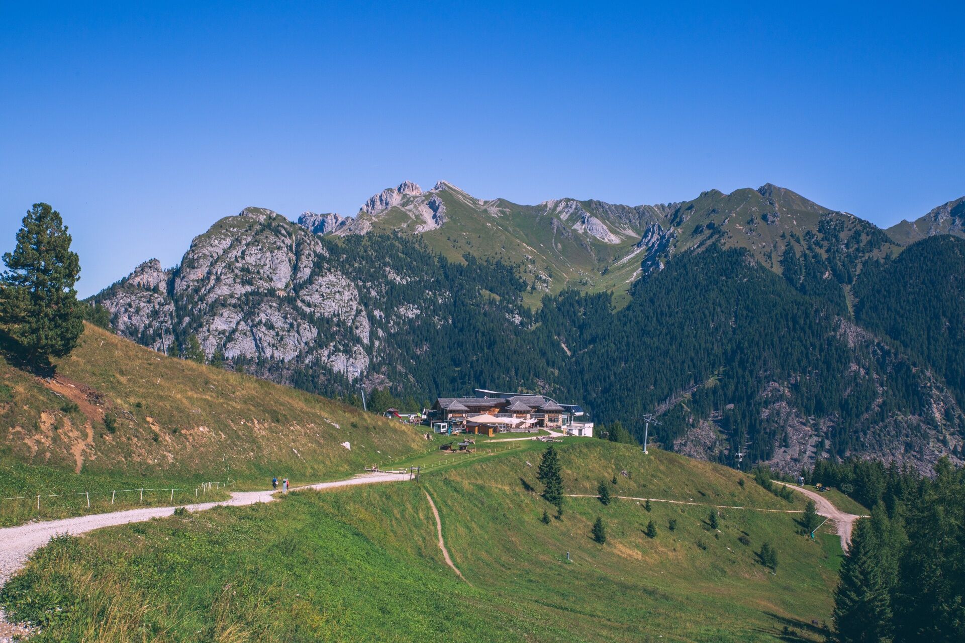
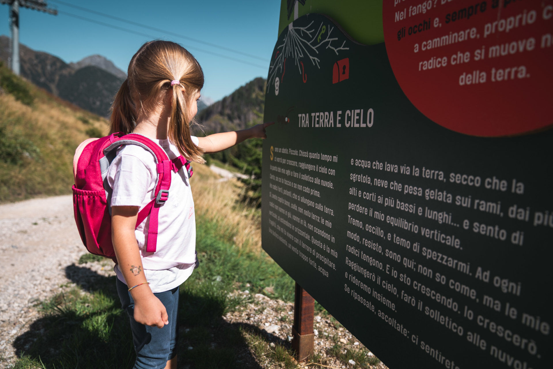
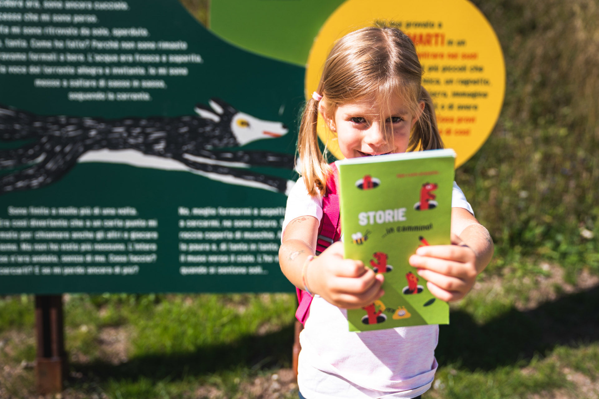
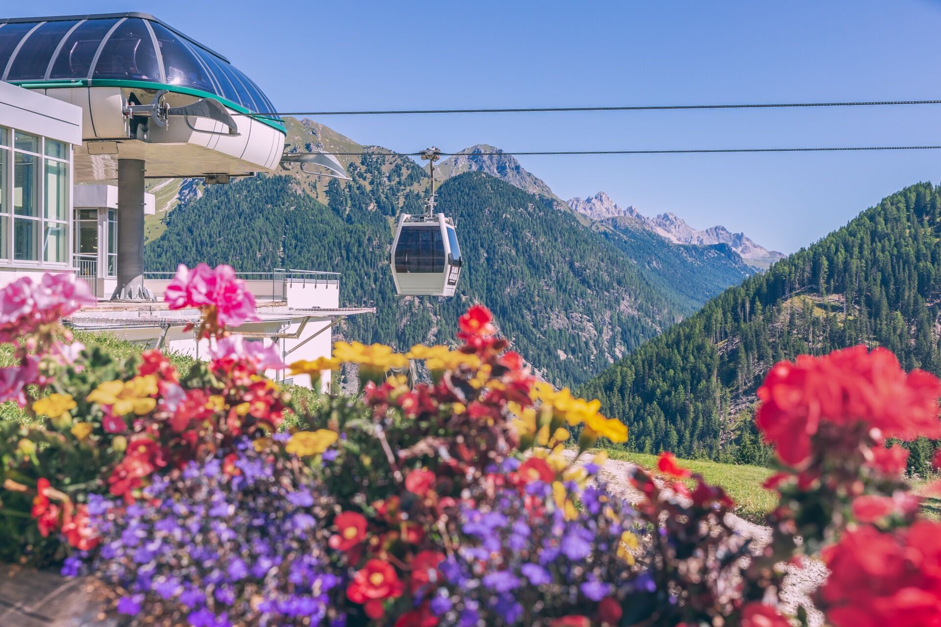

A small jewel of nature, just waiting to be explored. There are no entrance tickets here: the stars are you and the landscape around you. Along the way, illustrative panels will guide you in discovering the area, telling you about the wonders of this corner of the mountains.
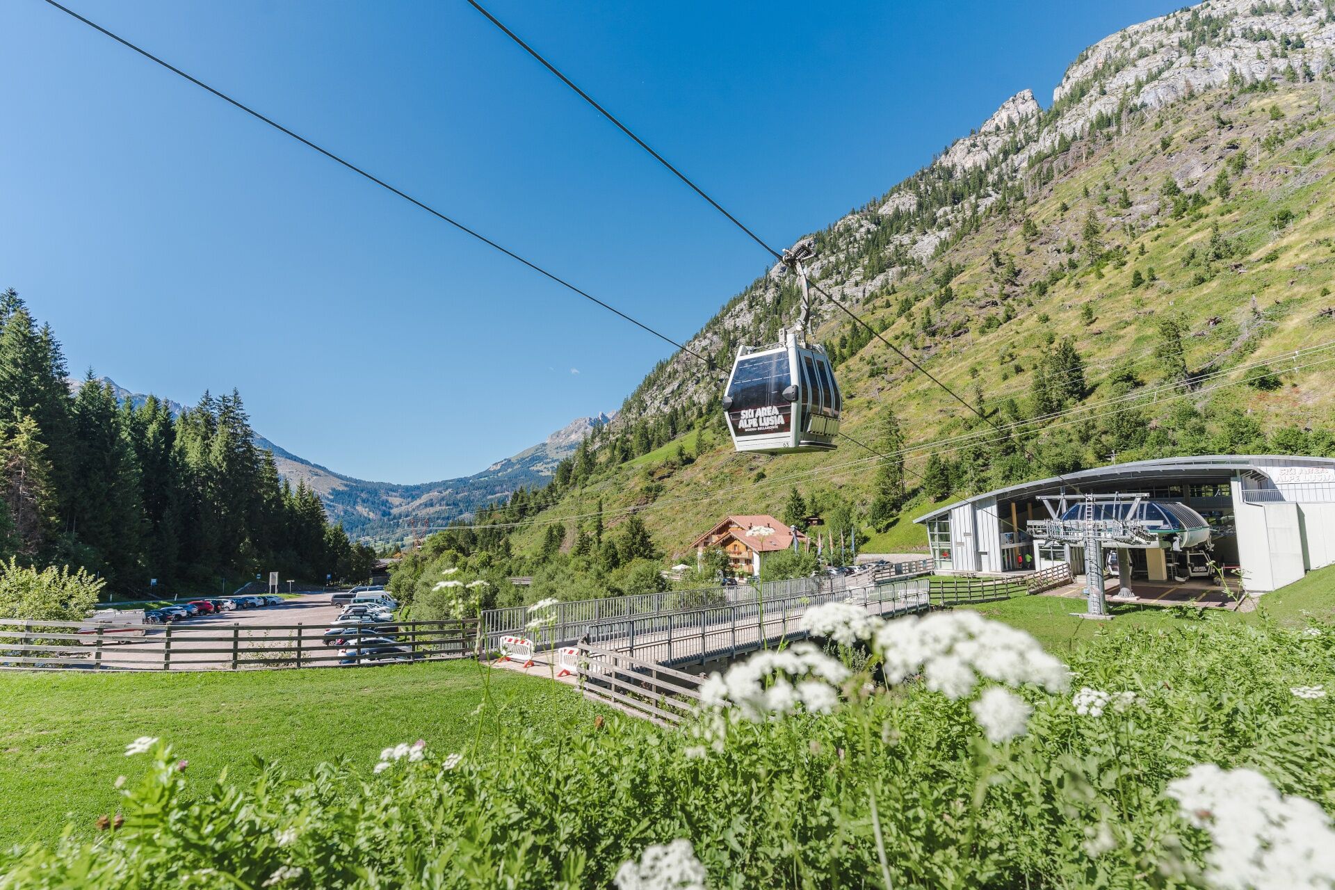
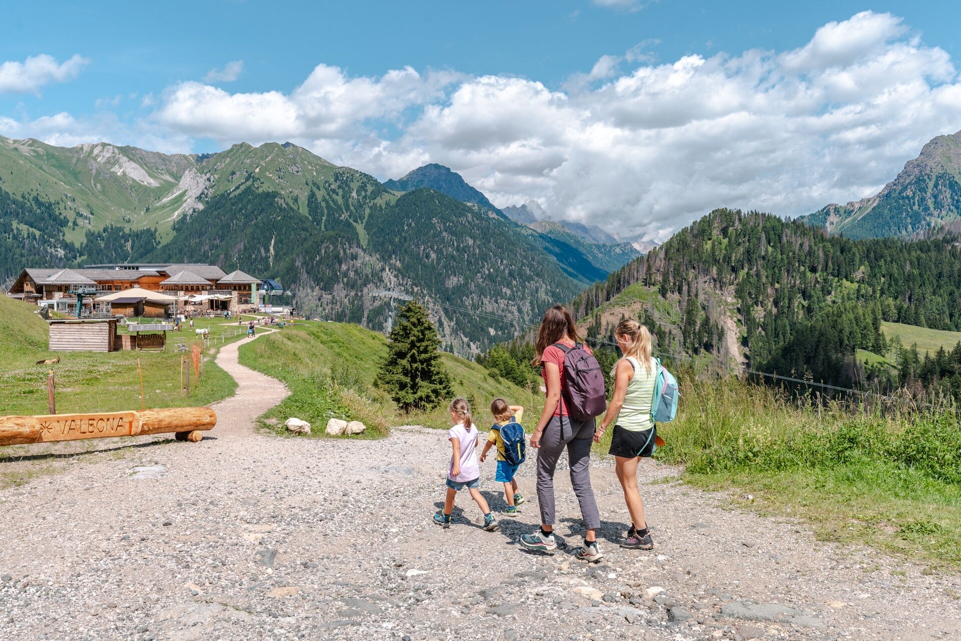
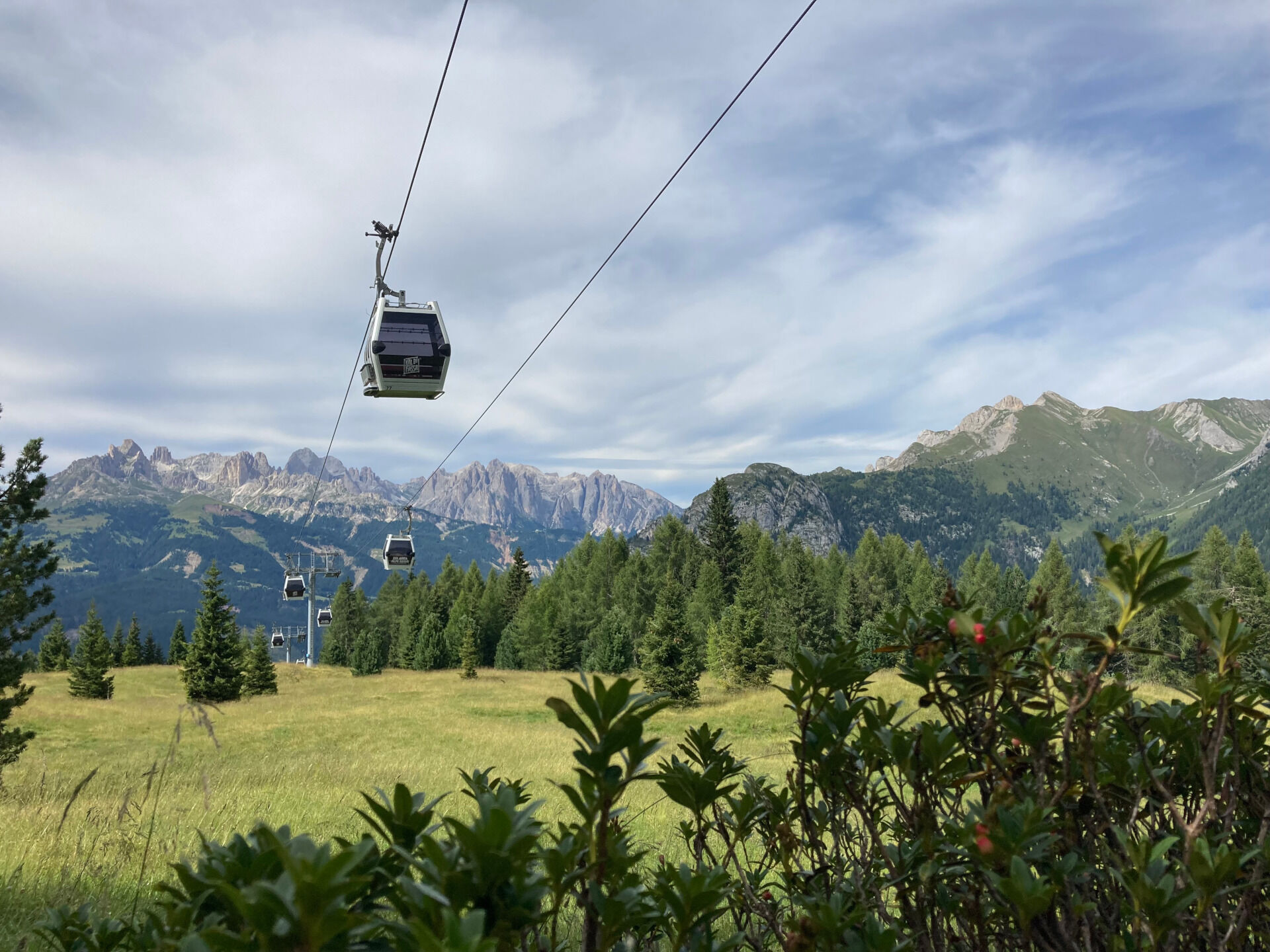
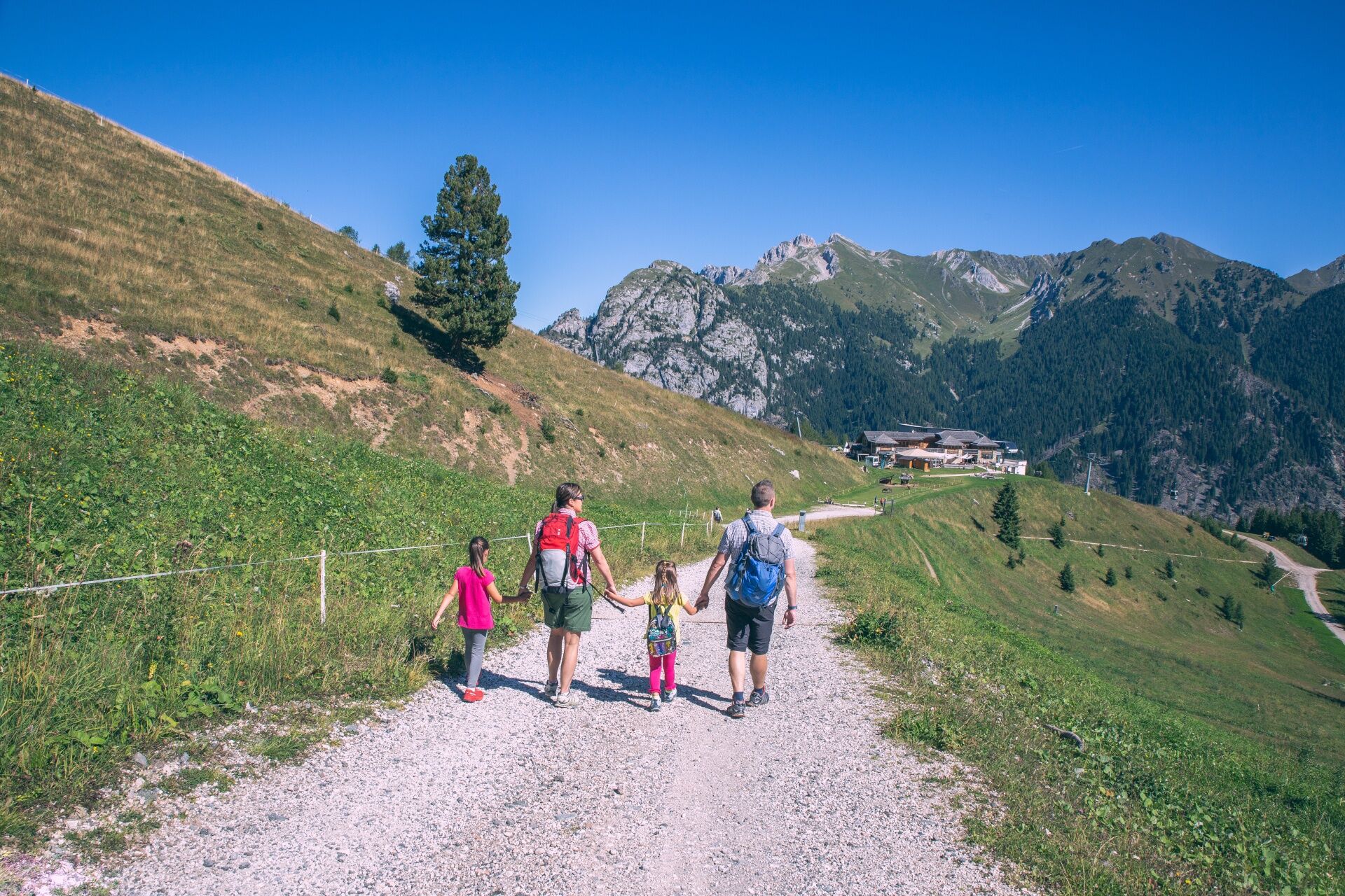
The trail starts from Valbona, reachable by gondola (first section). From the top station, where you will find the Chalet Valbona restaurant and a children's playground, the path starts with a short flat stretch leading to Malga Pozza, followed by a climb. From here, the path turns right and descends gently through the pastures, until it flows into the last stretch of the "Piavac" slope. Once you reach the valley station of the chairlift of the same name, go up the slope and, following the initial stretch of the "Fiamme Oro 1" slope uphill, you can easily return to Chalet Valbona.
"Ronchi" can be reached from Moena by car or public transport (about 3.5 km).
Tak
Tak
Tak
Tak
Carry in your backpack the necessary to face possible emergency situations, and a first aid kit.
2. Walk slowly, enjoy the landscape and the silence.
3. Inform someone you trust with your itinerary and the estimated return time.
4. Rely on professionals (Alpine and local guides).
5. Help those in distress. In case of real need call assistance on European emergency number 112.
6. Make sure you have suitable clothes and equipment and enough water and some snacks.
7. Respect the environment around you and its inhabitants. Bring back your rubbish.
8. Follow the marked trails avoiding those in the bike park.
9. To protect the wonders of nature, leave everything in its place.
10. Bring your pet along, but keep it on a leash.
Other access points to Val di Fassa:
from A27 motorway (Venezia), exit Belluno/Ponte nelle Alpi, S.S. 203 to Agordo and S.P. 346 to San Pellegrino Pass - Moena (Val di Fassa). At the roundabout in Moena, proceed towards Canazei from A27 motorway (Venezia), exit Belluno/Ponte nelle Alpi, S.S. 203 to Agordo/Alleghe/Rocca Pietore. S.P. 641 to Fedaia Pass - Canazei coming from Arabba, S.S. 48 to Pordoi Pass - Canazei coming from Val Gardena, S.S. 242 to Sella Pass - Canazei- Nearest bus stop (Trentino Trasporti): "Ronchi" (Lusia lift)
Convenient and ample free parking at the valley station of the cabin lift.
T1
Strèda Roma, 36
38032 Canazei (TN)
Phone +39 0462 609500
info@fassa.com
www.fassa.com
The gondola departs from Moena/Ronchi (the Panorama Pass is valid, or you can purchase a return ticket at the lift ticket office).
Kamery internetowe z trasy

Popularne wycieczki w okolicy
- 4,9
Torre di Pisa mountain hut
średniWędrówka 9,09 km - 4,8
Santnerpass Klettersteig
średniVia ferrata 8,29 km - 4,8
Passo Costalunga - Sella del Ciampaz
średniWędrówka 8,35 km - 5,0
Ciampedie - Gardeccia - Refuges Vajolet and Preuss - Refuge Re Alberto I - Gardeccia - Ciampedie
ciężkiWędrówka 11,8 km - 4,6
Kölner Hütte - Hirzelsteig - Rotwandhütte - Baita Tre - Karerpass
średniWędrówka 9,56 km - 5,0
Ciampedie - Gardeccia - Principe Pass - Antermoia Refuge - Val Duron - Campitello
ciężkiWędrówka 18,7 km - 5,0
Rosengarten: Cigoladepass und Fassaner Höhenweg
średniWędrówka 15,6 km - 4,5
Cavallazza Peak
średniWędrówka 7,82 km - 4,7
Stage 1 Dolomiti Trek King in autumn - Catinaccio
ciężkiWędrówka 15,3 km - 4,5
San Pellegrino Pass - Fuciade - Val Fredda - Malga Boer - San Pellegrino Pass
średniWędrówka 11,1 km
Wędrówki i tropienie


Nie przegap ofert i inspiracji na następne wakacje
Twój adres e-mail została dodana do listy mailingowej.


