


Geotrail Dos Capèl – Dolomites, what a discovery!
Poziom trudności: T1
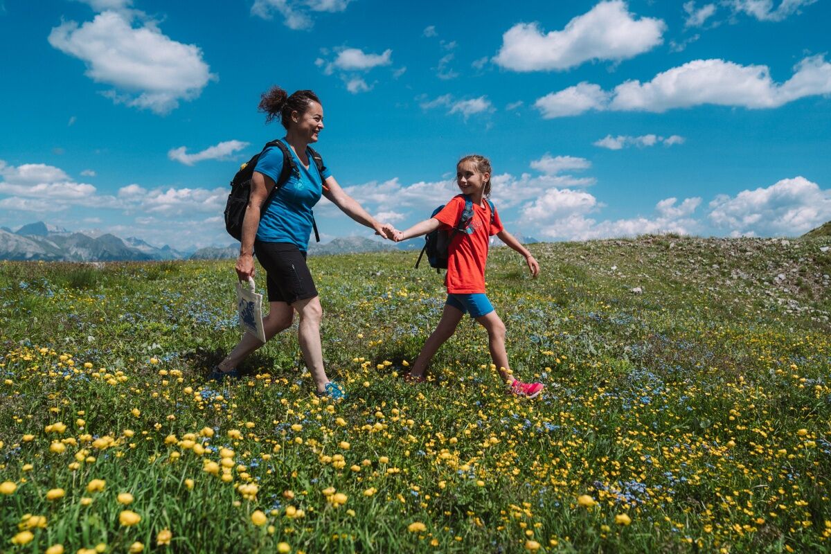
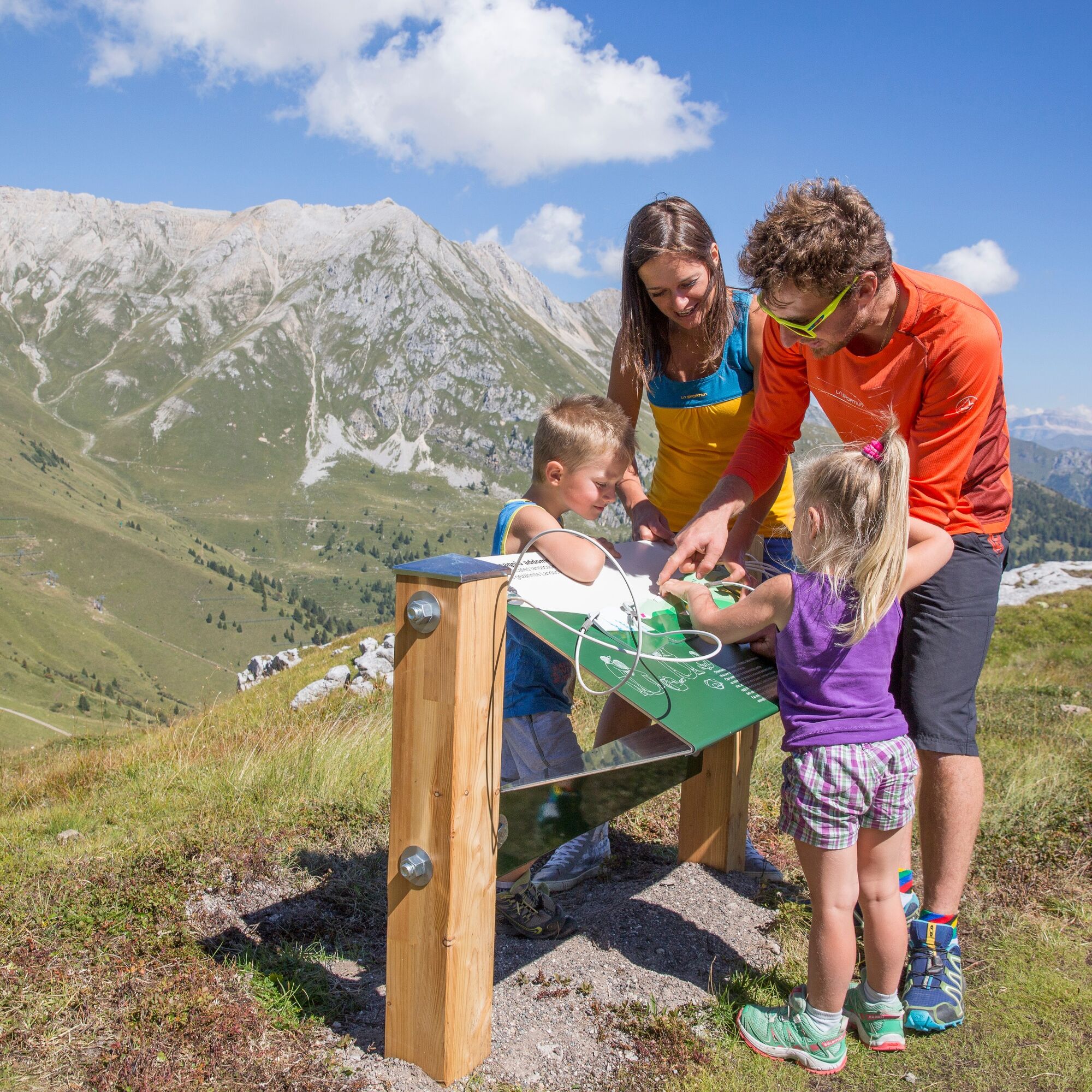
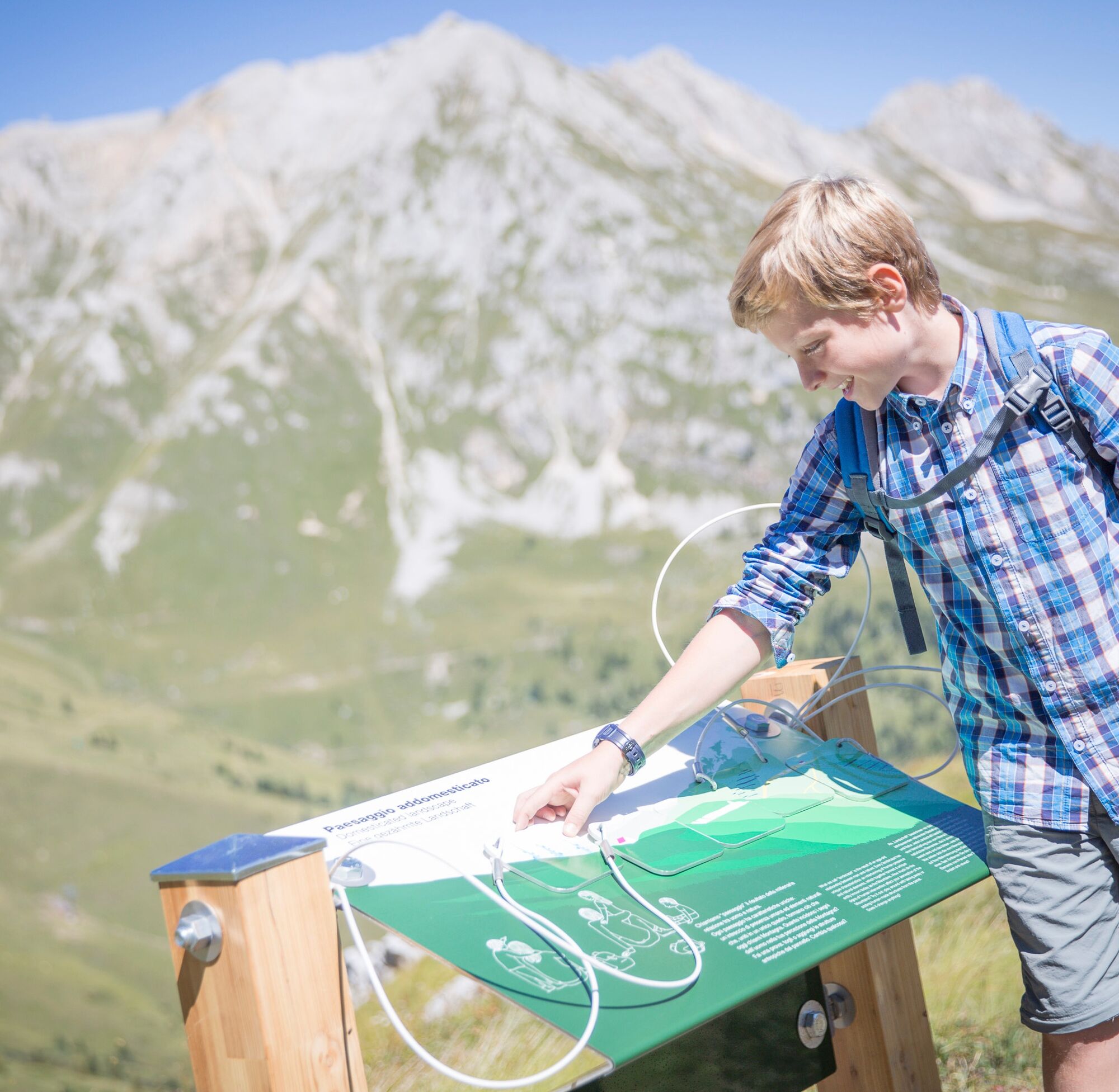
Along the path, there are 19 stations with visual, tactile, and audio content. The hike is suitable for everyone and can also be enjoyed by people with low vision and cognitive difficulties. The best way...
Along the path, there are 19 stations with visual, tactile, and audio content. The hike is suitable for everyone and can also be enjoyed by people with low vision and cognitive difficulties. The best way to travel the Geotrail Dos Capèl path and discover the great botanical and geological variety of these mountains is with “Geotrail Dos Capèl. Easy to Read”, a guidebook in EtR (Easy to Read) language that facilitates reading.

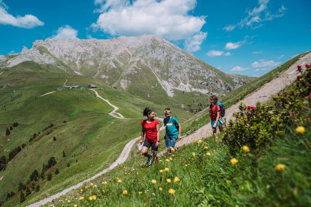
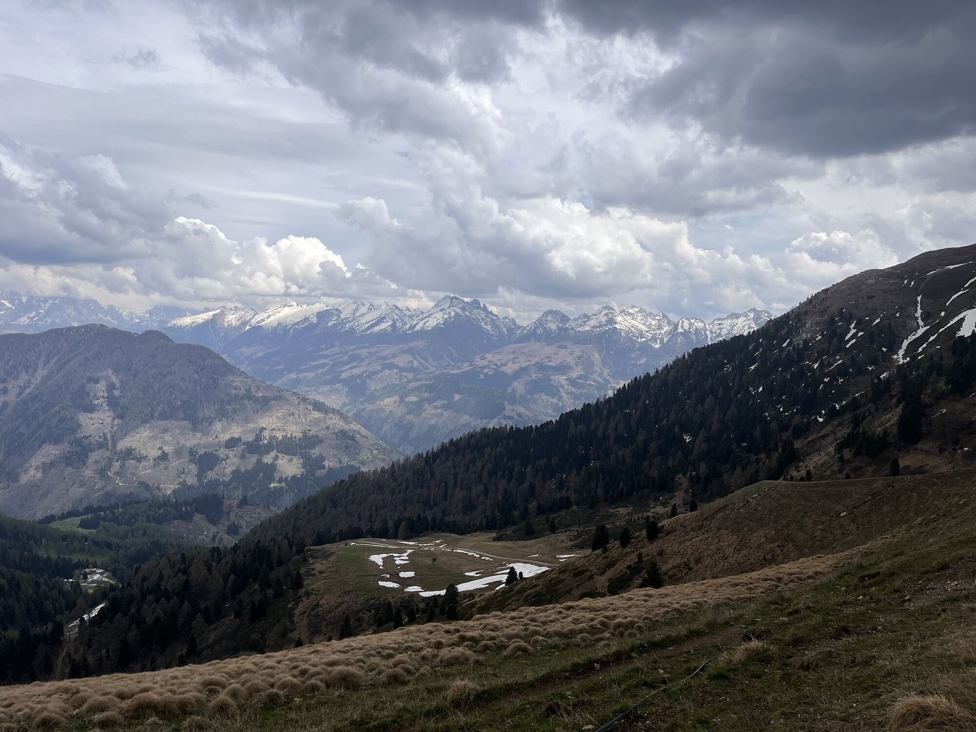
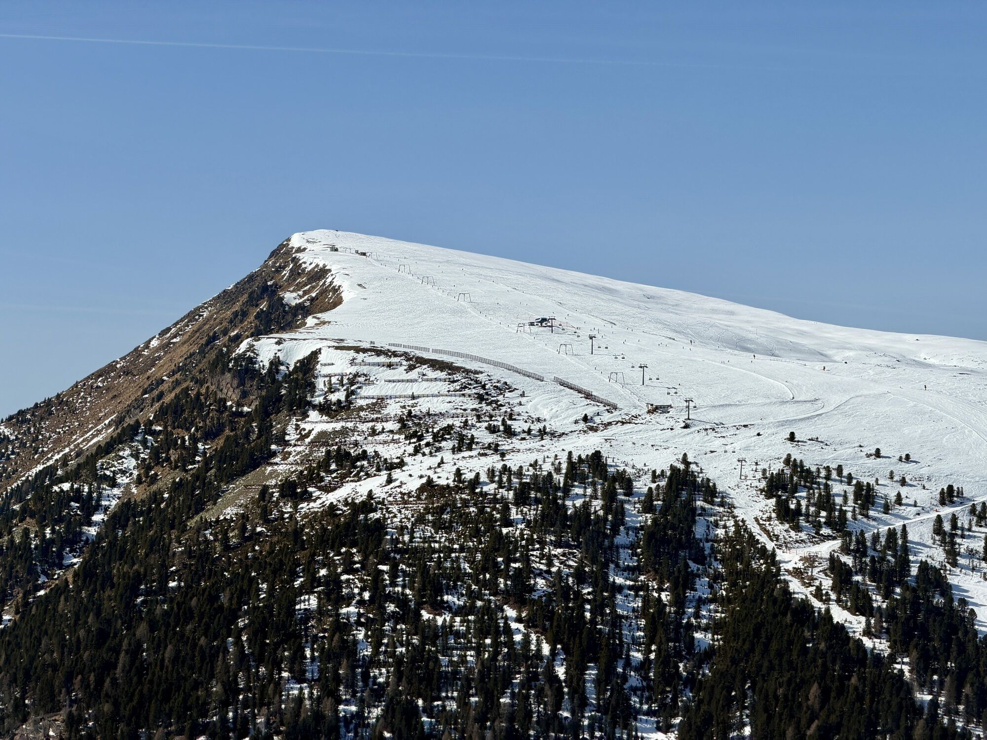
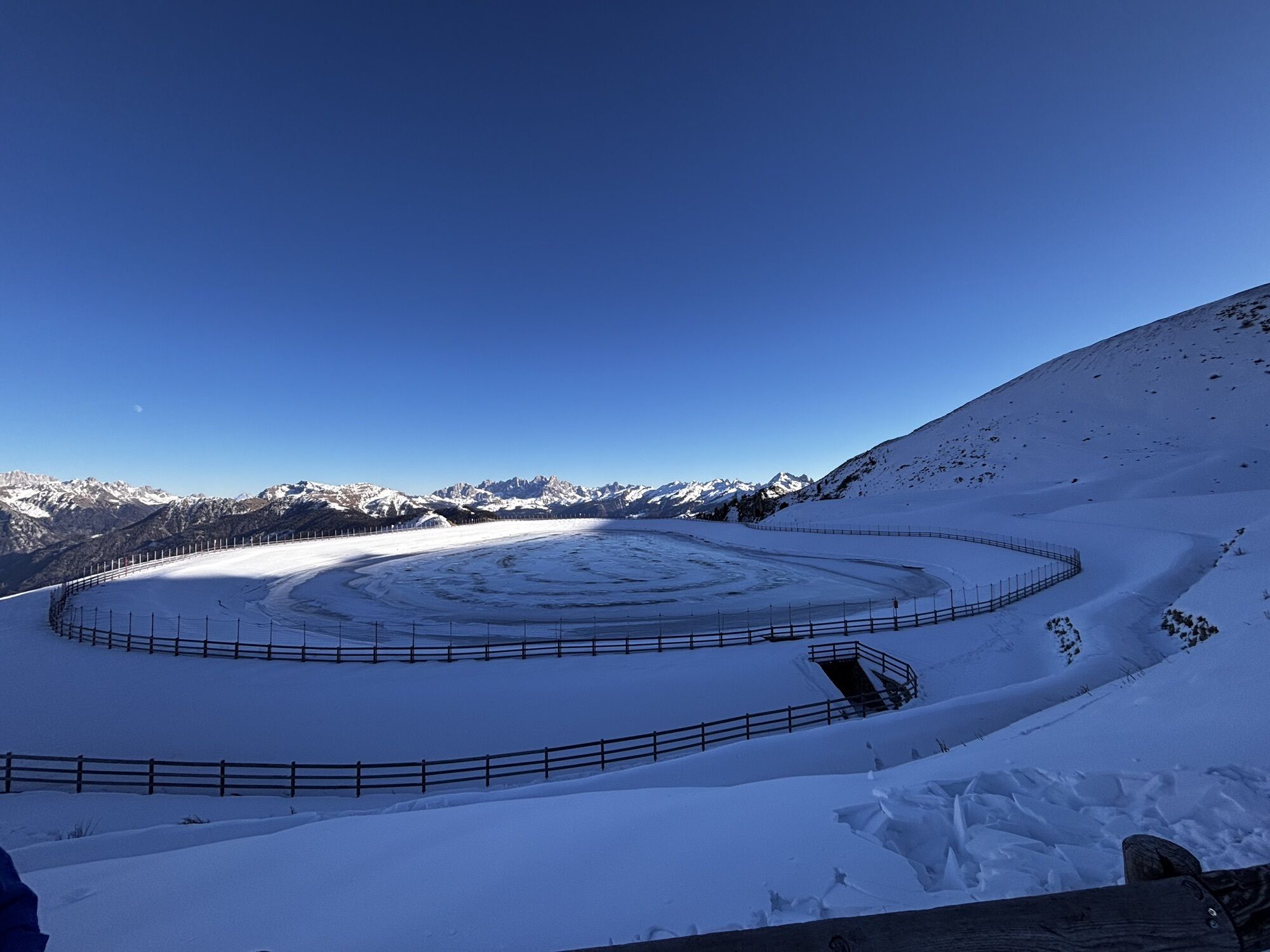
To reach the Geotrail Dos Capèl path, take the cable car to Gardonè and then the chairlift to Passo Feudo (2,200 m).
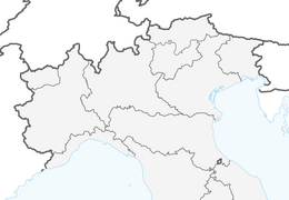
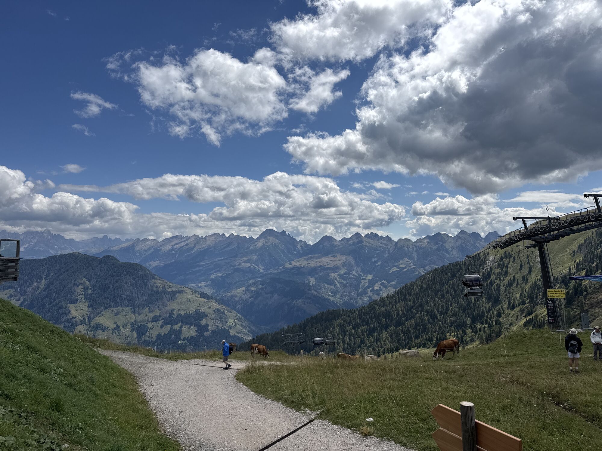
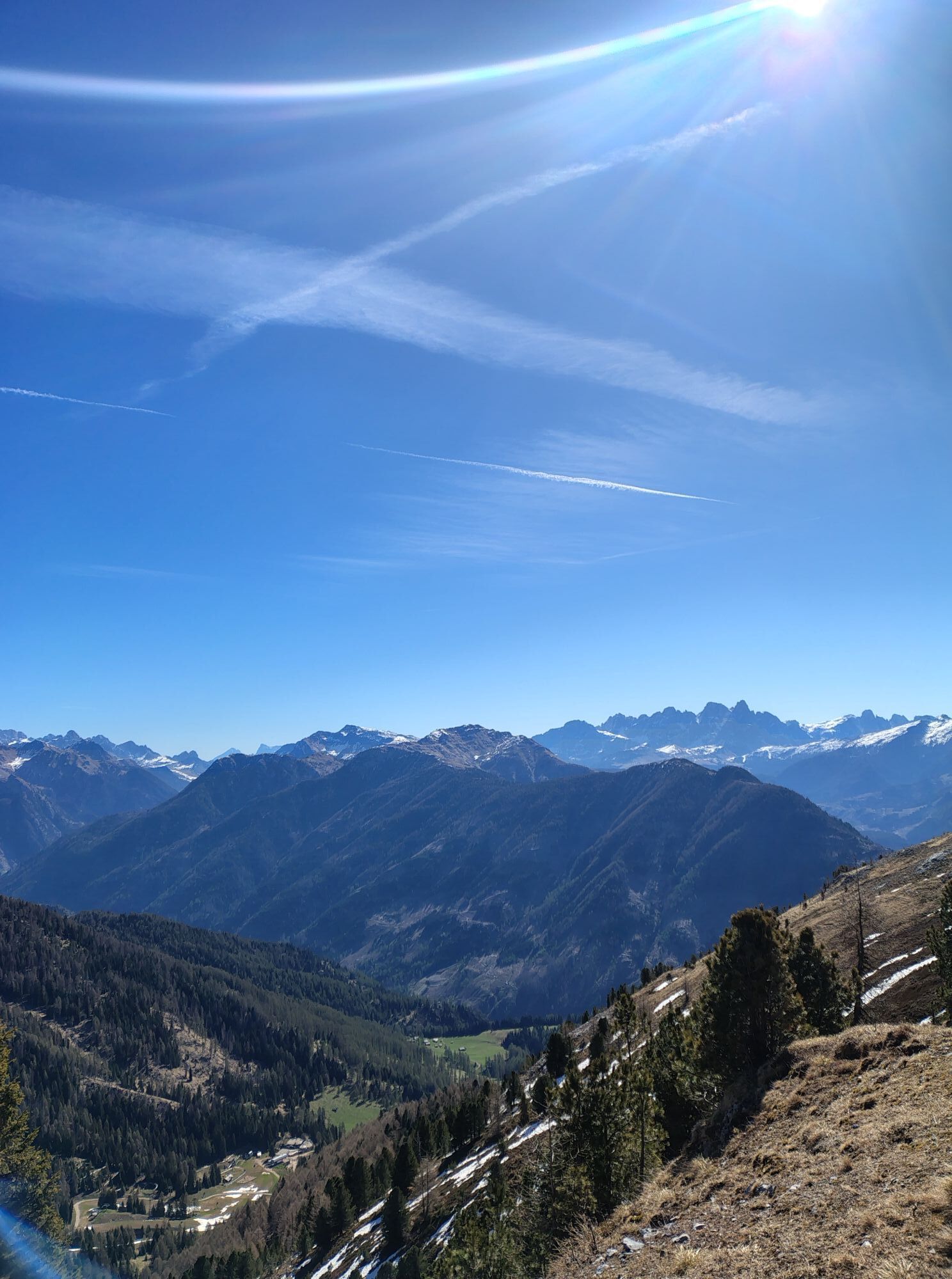
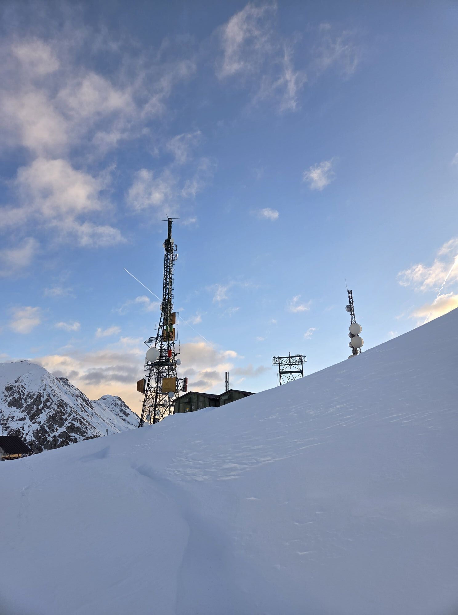
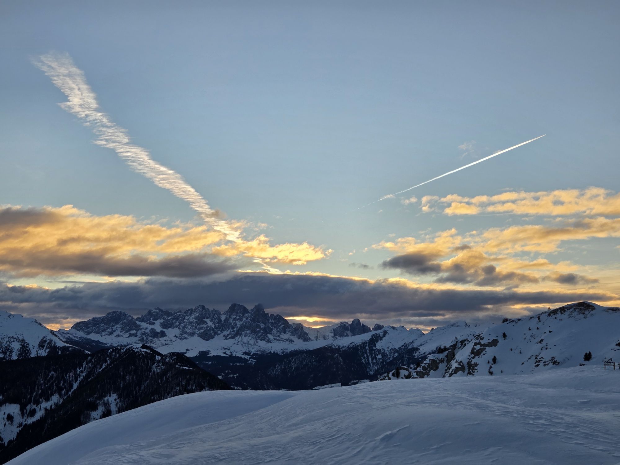
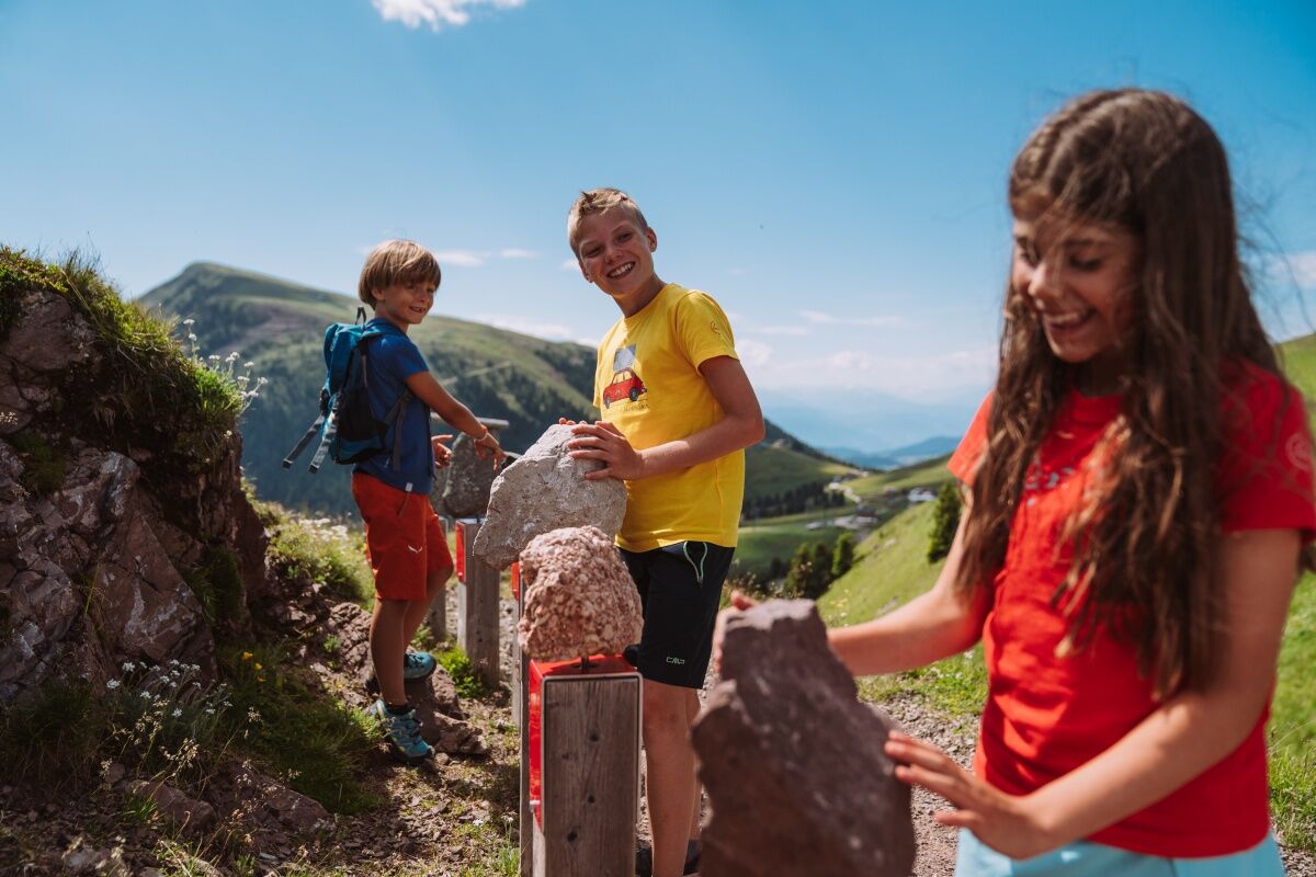
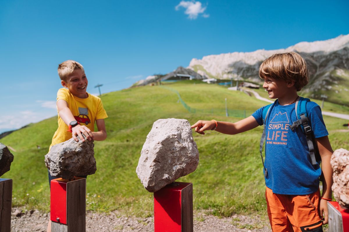
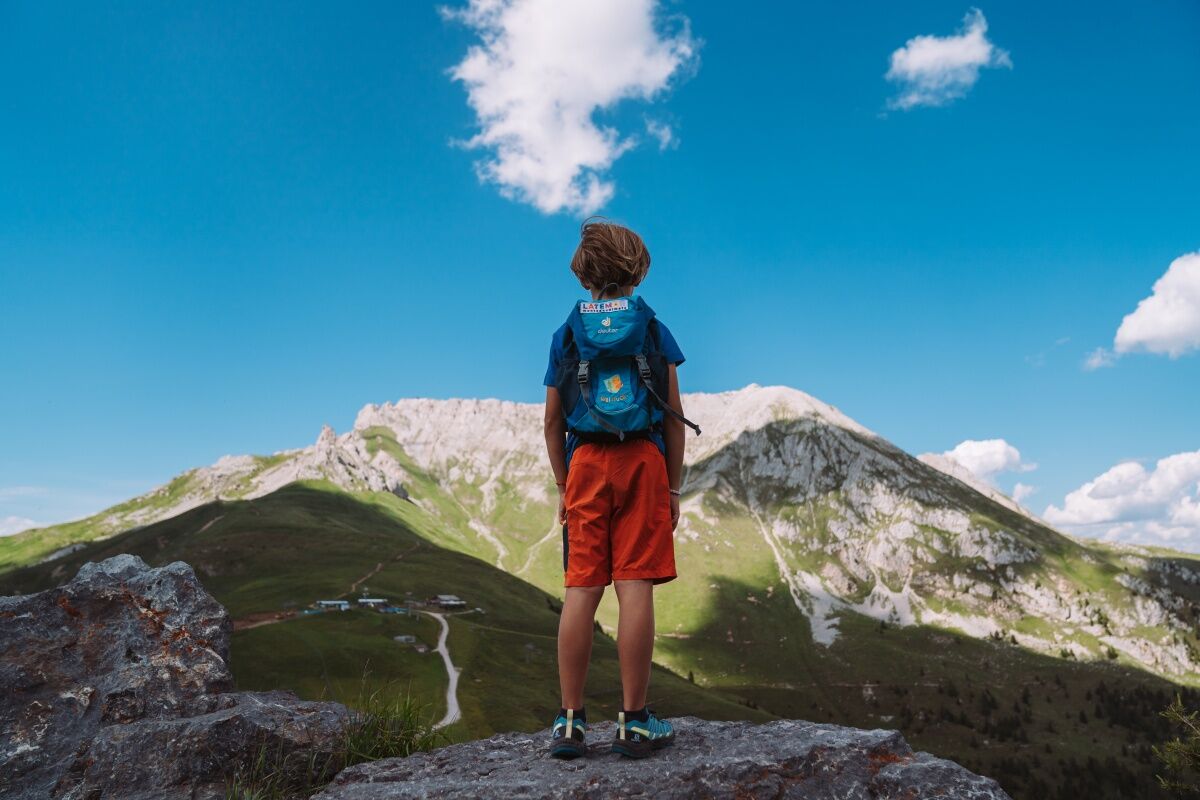
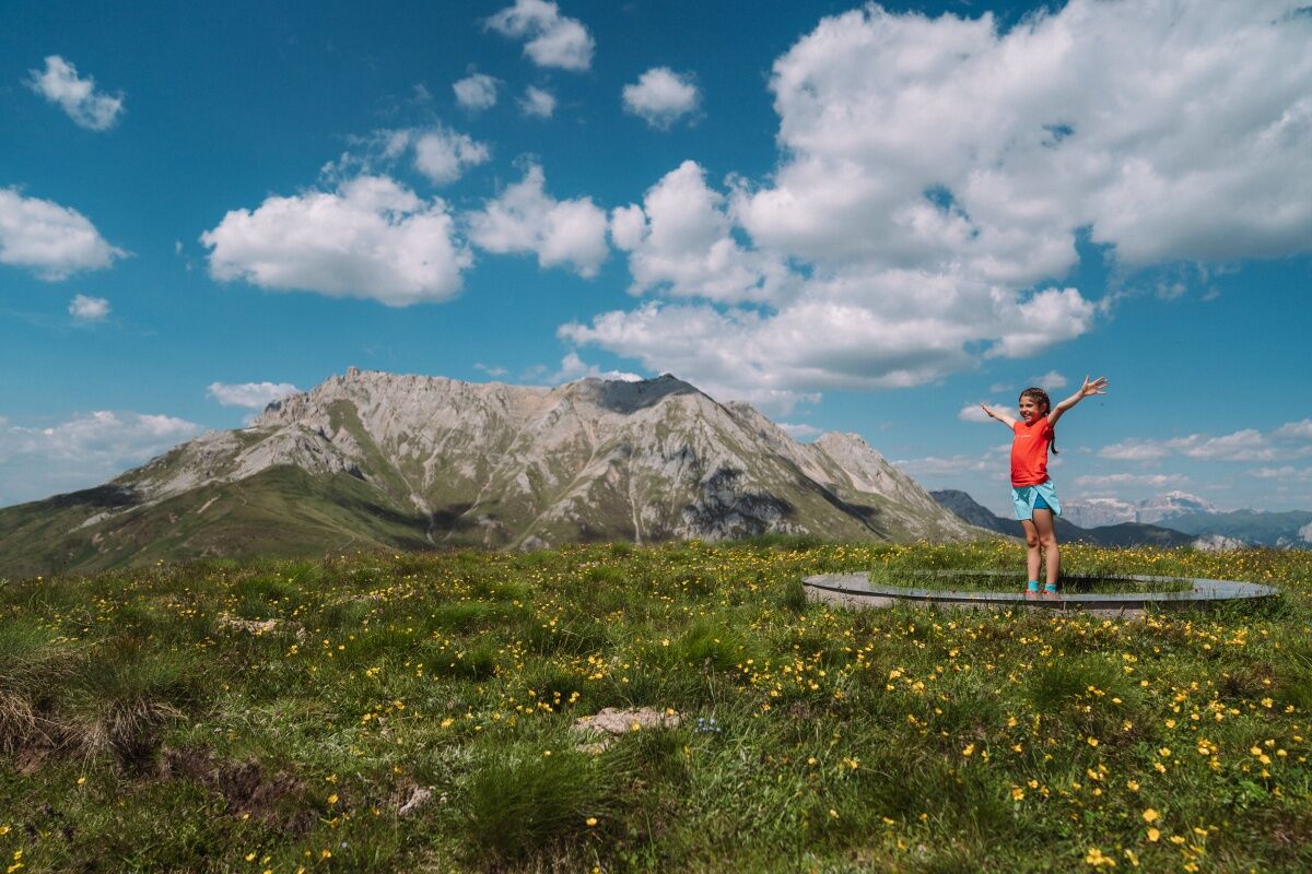
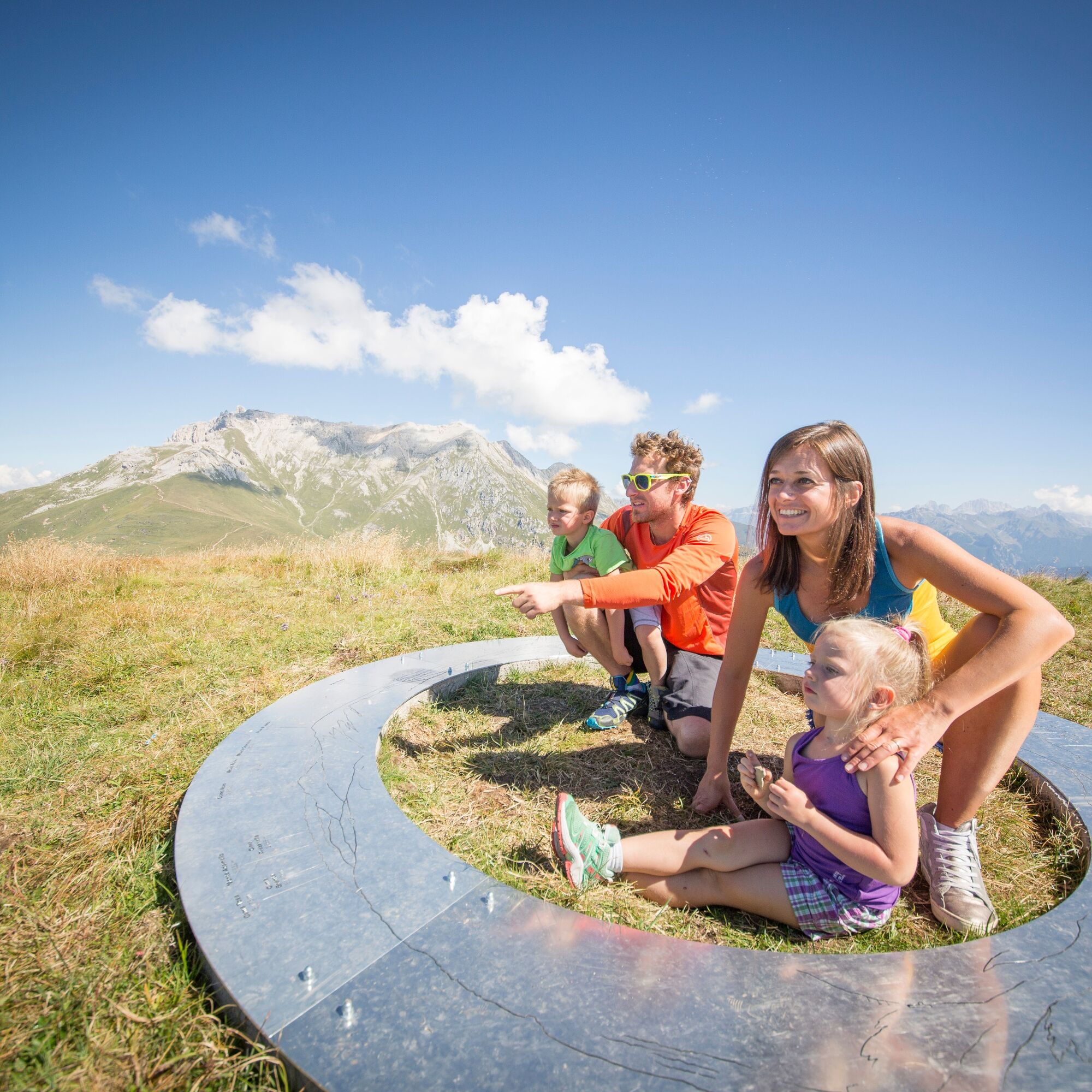
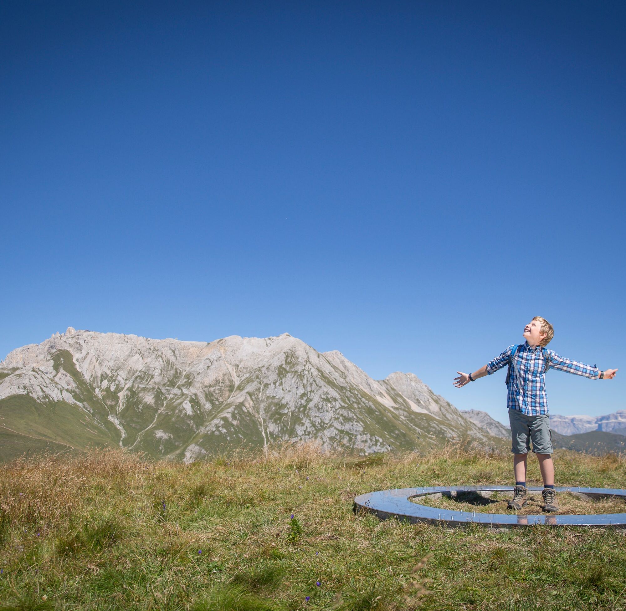
From Passo Feudo, descend slightly to the right, leaving the refuge behind. The path is unpaved, with a vast panorama over the peaks of the Dolomites and the Lagorai Chain. The direction is marked by arrows and installations: there are 19 of them, each helping you to read with curiosity the rock layers and the plant adaptations to different types of soil. It feels like walking back in time: among rocks that echo a sea from 250 million years ago and black layers of volcanic rock.
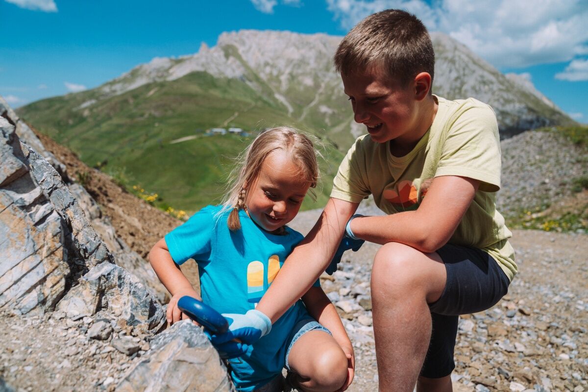
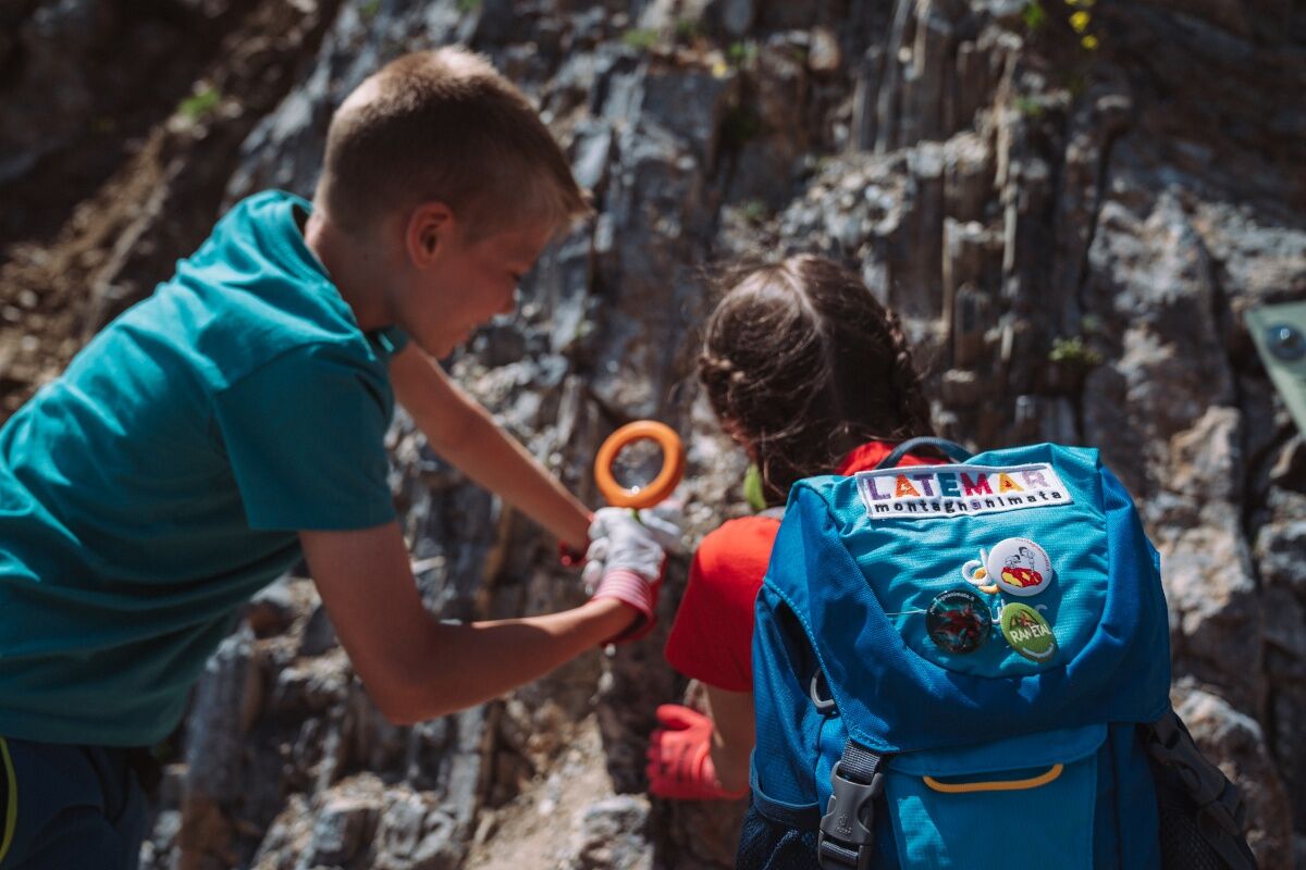
At the Info Point in Gardonè you can request “Geotrail Dos Capèl. Easy to Read”, a guidebook in EtR (Easy to Read) language that facilitates reading and a special geological kit (€6.00) containing a lens, a pair of glasses, gloves, and bags for collecting small pieces of rock.
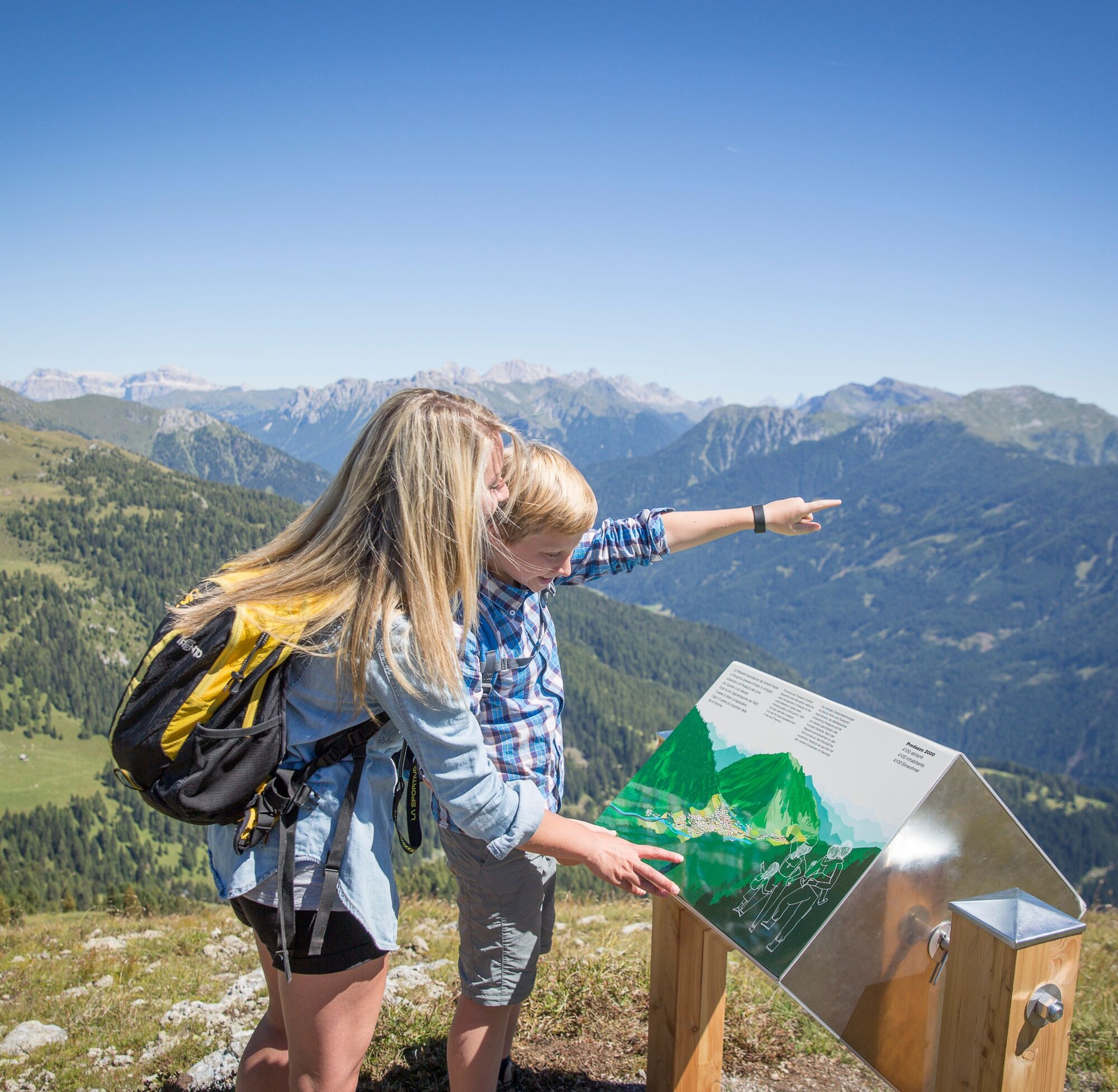
The walk is free. But if you want to understand the natural spectacle you are crossing and have fun with children, the EtR (Easy to Read) guidebook is a useful tool: with clear, readable, and illustrated information to understand, remember, and be able to tell your discoveries!
After returning to the valley, you can deepen your curiosity about fossils with experts from the Geological Museum of the Dolomites in Predazzo.
Geotrail Dos Capèl – Dolomites, what a discovery! is a project curated by Muse-Museum of Sciences of Trento, the Geological Museum of the Dolomites of Predazzo, and the Civic Museum Foundation of Rovereto in collaboration with Irifor of Trentino, Albinova, and Anffass Trentino.
Tak
Tak
Tak
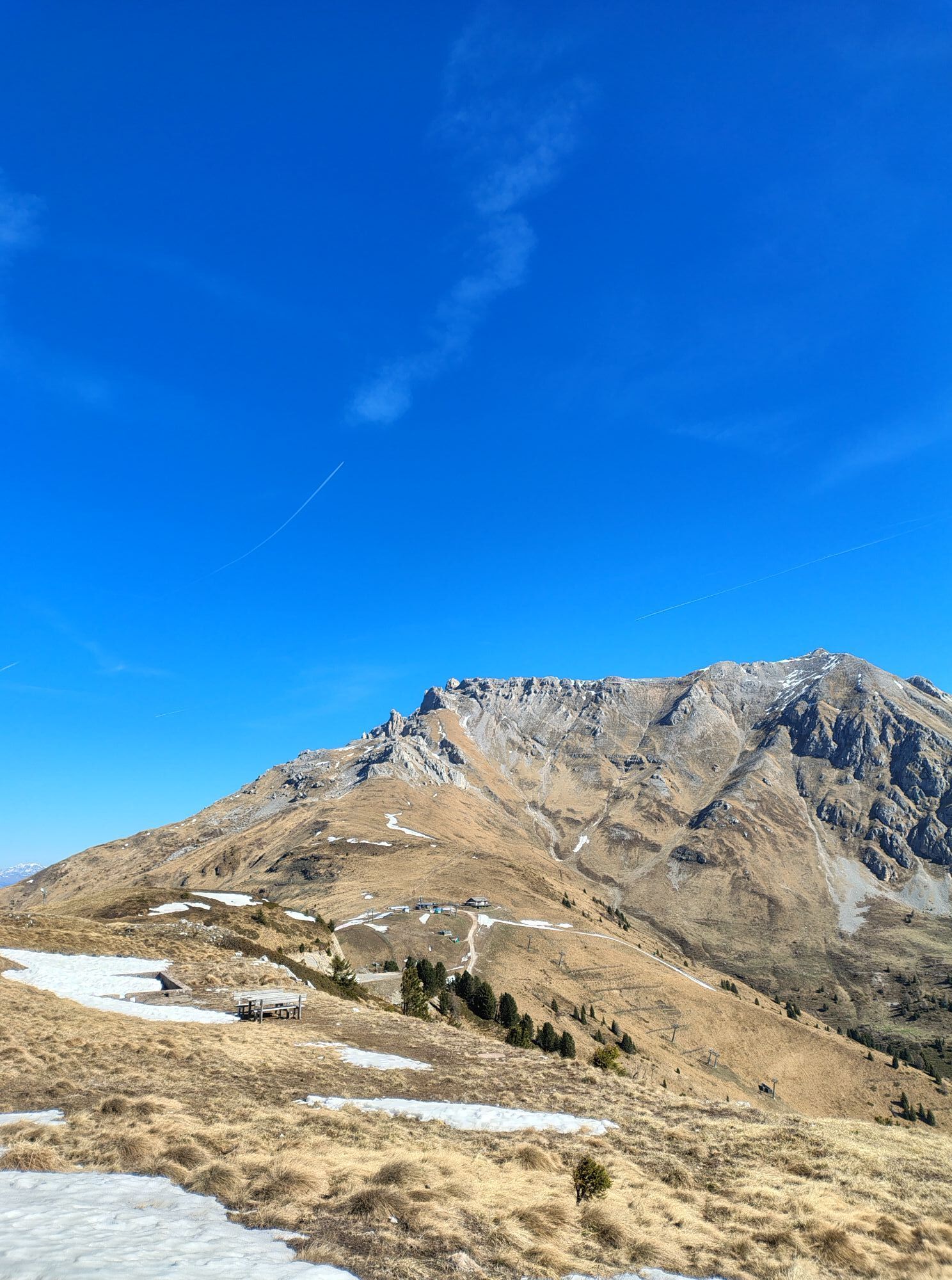
The path is outdoors, in full mountain, with minimal shaded areas: a windproof jacket, hiking boots, a hat, and sunscreen are recommended.
Not suitable for strollers; using a child carrier backpack is recommended.
THE 10 RULES FOR HIKERS
Study and prepare your itinerary well Choose a route suitable for your physical condition Bring appropriate clothes and equipment Check the weather forecast Starting alone is risky; bring your mobile phone with you Leave information about your itinerary and approximate return time If unsure, do not hesitate to rely on a professional Pay attention to directions and signs you find on the route If tired or having problems, do not hesitate to retrace your steps In case of an accident, call 112As you can imagine, the passability of routes in a mountain environment is strictly linked to current conditions and therefore depends on natural phenomena, environmental changes, and weather conditions. For this reason, the information contained in this sheet may have changed. Before leaving, check the status of the path by contacting the refuge managers on your route, alpine guides, visitor centers of natural parks, and tourist offices.
From Cavalese, head towards Val di Fassa. Just after the town of Predazzo, the Latemar MontagnAnimata lift facilities are on the right.
The Cavalese - Penia line bus stops at the Latemar MontagnAnimata lift facilities.
Large parking lot at the start of the lift facilities.
T1
APT Val di Fiemme - Tel. +39 0462 241111 - info@visitfiemme.it - www.visitfiemme.it
Latemar MontagnAnimata - Tel. +39 0462 884400 - info@montagnanimata.it - www.montagnanimata.it
Popularne wycieczki w okolicy
- 4,8
Santnerpass Klettersteig
średniVia ferrata 8,29 km - 4,9
Torre di Pisa mountain hut
średniWędrówka 9,09 km - 5,0
Ciampedie - Gardeccia - Refuges Vajolet and Preuss - Refuge Re Alberto I - Gardeccia - Ciampedie
ciężkiWędrówka 11,8 km - 4,7
Passo Costalunga - Sella del Ciampaz
średniWędrówka 8,35 km - 4,7
Stage 1 Dolomiti Trek King in autumn - Catinaccio
ciężkiWędrówka 15,3 km - 5,0
Latemar Umrundung - die Kurze und Bequeme
średniWędrówka 12,1 km - 4,5
Kölner Hütte - Hirzelsteig - Rotwandhütte - Baita Tre - Karerpass
średniWędrówka 9,56 km - 5,0
Rosengarten: Cigoladepass und Fassaner Höhenweg
średniWędrówka 15,6 km - 5,0
Giro del catinaccio a nova levante
Wędrówka 11,7 km - 4,8
Latemar Tour - Tour 930
średniMountainbike 37,4 km
Wędrówki i tropienie


Nie przegap ofert i inspiracji na następne wakacje
Twój adres e-mail została dodana do listy mailingowej.