


Dos dei Branchi
The itinerary, not difficult, is suitable for everyone and takes place on large snow-covered ridges. The stretch that leads to Baito della Bassa is frequented, therefore tracks are visible almost all the...
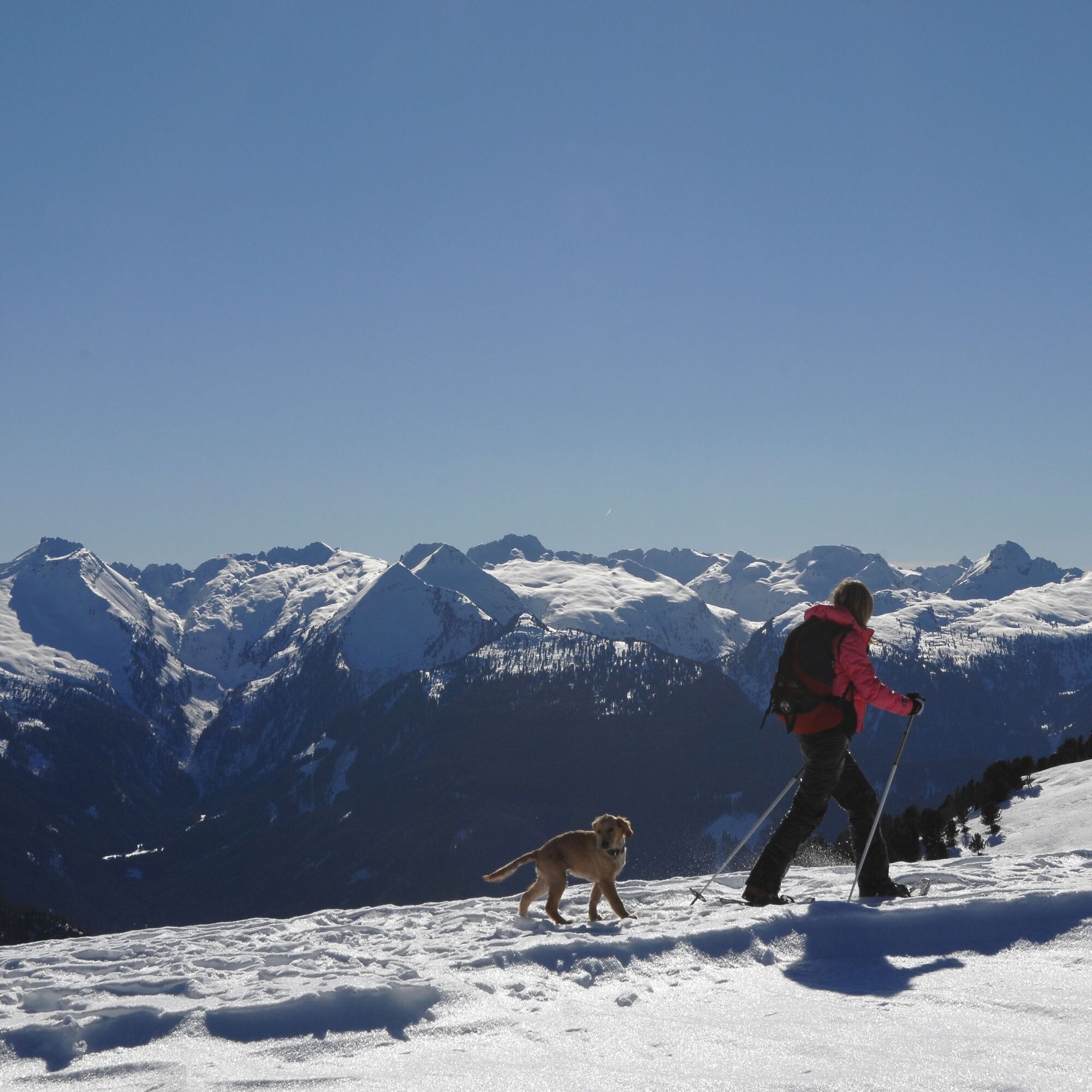
The itinerary, not difficult, is suitable for everyone and takes place on large snow-covered ridges. The stretch that leads to Baito della Bassa is frequented, therefore tracks are visible almost all the time, while the next one that climbs to Dos dei Branchi is less known.


From Pampeago take first the Agnello chairlift and reach Agnello mountain hut.
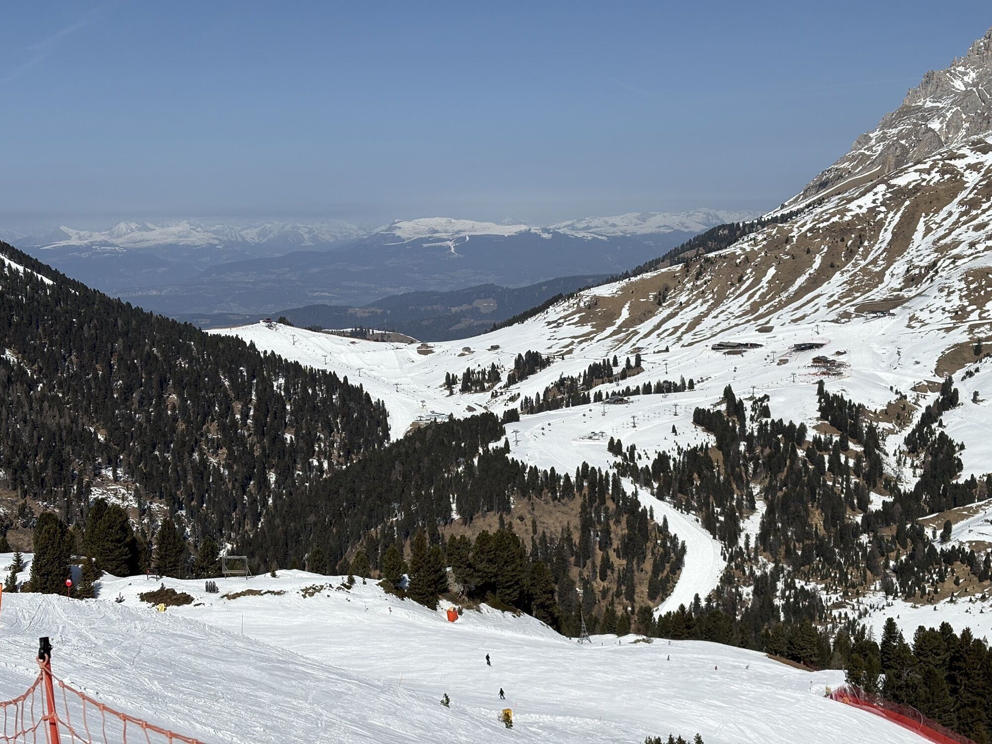
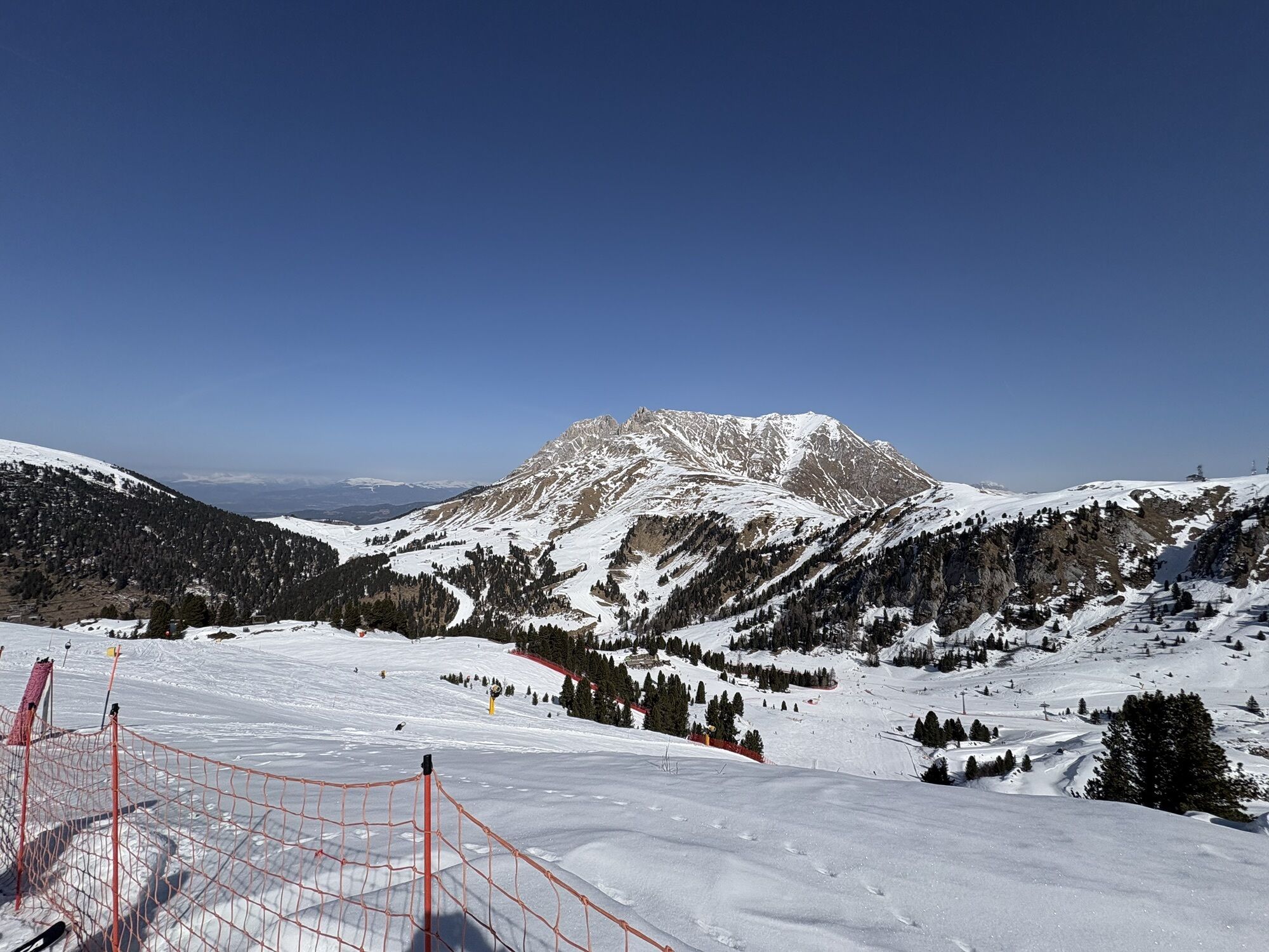
WAY UP From the top, on the right side (west) of the chairlift arrival (2180 m) a sign points the path which leads to La Porta and Baito della Bassa. With your snowshoes on, follow the big ridge, first descending slightly. Then, after a series of ups and downs, you will reach Baito della Bassa (2168 m). A short break at the hut allows you to admire the Pale di San Martino and the Lagorai chain. From here keep walking west, walking up to the small hill in front of you covered with mountain pines until the top of Dos dei Branchi (2274 m).
WAY BACK On the same itinerary.
Tak
Tak
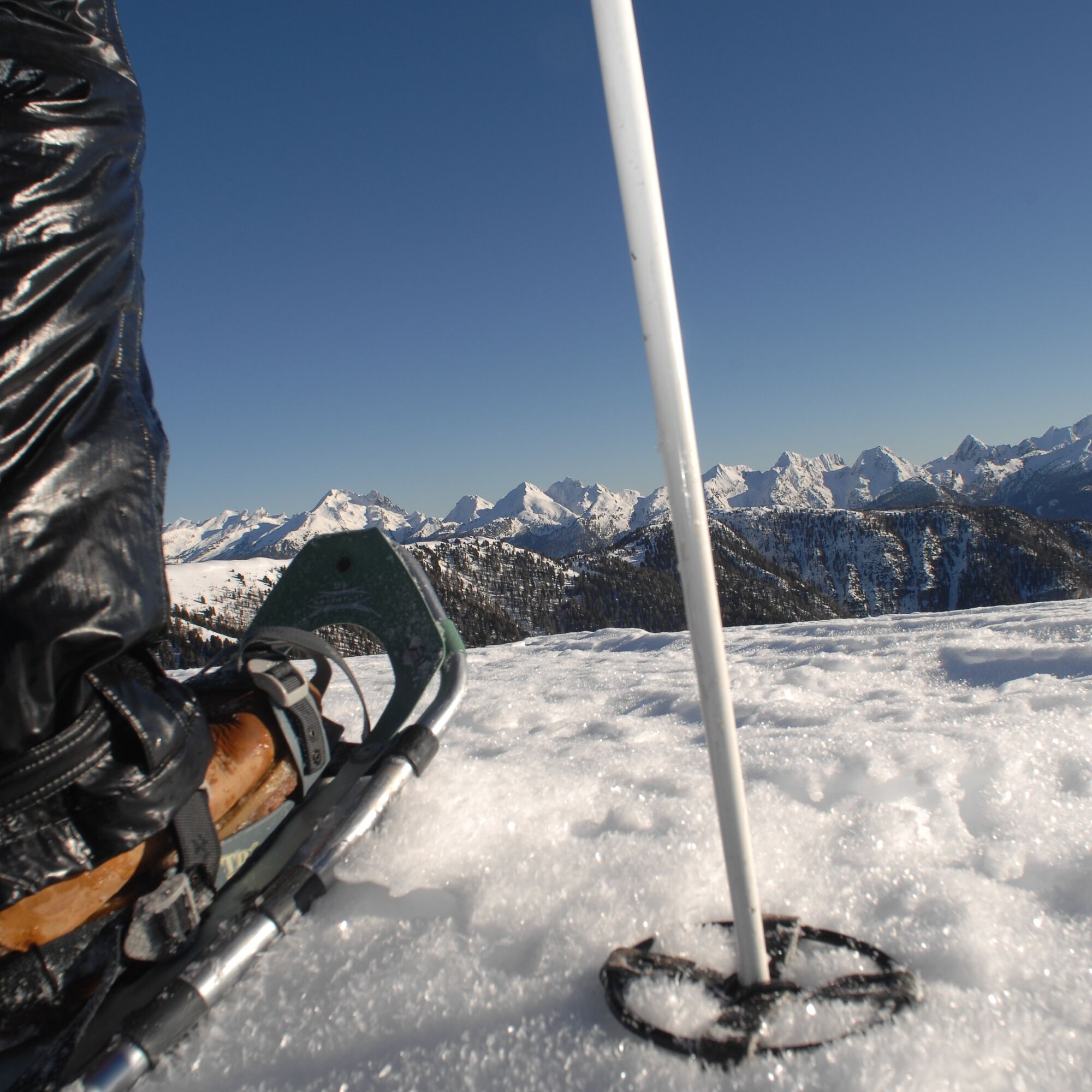
Warm and waterproof winter clothes. Spare shirt, gloves, wool cap, sunglasses, sunscreen, water, snacks, hiking shoes and hiking poles.
It’s COMPULSORY to carry with you an avalanche rescue kit consisting of avalanche transceiver, probe and shovel.
The itinerary is not subject to avalanches, so it’s accessible also after heavy snowfalls.
THE 10 RULES FOR HIKERS
Prepare your itinerary beforehand Choose an itinerary that suits your physical abilities Choose suitable clothes and equipment Check the weather forecast Hiking by yourself is more risky; if this is the case, take a mobile phone with you Leave information about your itinerary and your expected return time If you are not sure about your itinerary, contact an Alpine Guide Pay attention to signposts and directions that you find along your way Do not hesitate in going back if you feel too tired In case of emergency call 112Remember, snowpack stability is subject to sudden and unforeseeable changes and shifts. Always check the local avalanche before departure and make sure you gather all possible information concerning current conditions from the local Mountain Guides. GPS tracks are merely indicative of the more standard routes but must not be followed blindly without first checking current slope and terrain conditions. Correct orientation may be a problem at times along the higher stretches of this route due to fog or low cloud cover.
From Tesero take the road that leads to Passo Lavazè. When you reach Stava follow the directions to Pampeago.
You can reach Pampeago with the skibus from Tesero.
There are many parking lots at the lifts station.
APT Val di Fiemme - Tel. +39 0462 241111 - info@visitfiemme.it - www.visitfiemme.it
Pampeago - Tel. +39 0462 813265 - info@latemar.it - www.latemar.it
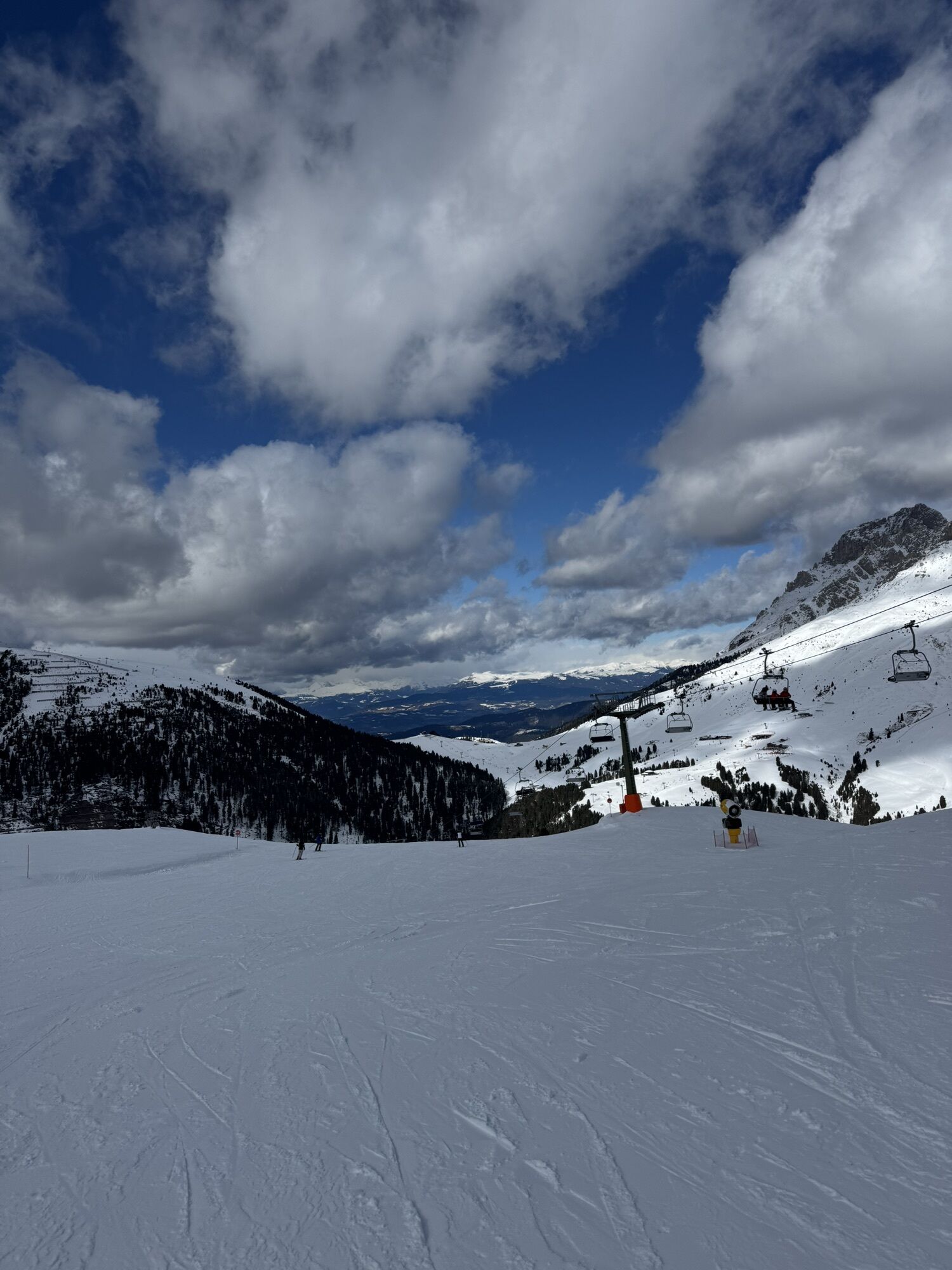
The Agnello chairlift allows you to comfortably reach an altitude of 2180 meters. For this reason the itinerary has a small difference in height.
Popularne wycieczki w okolicy
-
4,9
Torre di Pisa mountain hut
średniWędrówka 9,09 km -
4,7
Passo Costalunga - Sella del Ciampaz
średniWędrówka 8,35 km -
5,0
Latemar Umrundung - die Kurze und Bequeme
średniWędrówka 12,1 km -
4,5
Kölner Hütte - Hirzelsteig - Rotwandhütte - Baita Tre - Karerpass
średniWędrówka 9,56 km -
5,0
Rosengarten: Cigoladepass und Fassaner Höhenweg
średniWędrówka 15,6 km -
5,0
Giro del catinaccio a nova levante
Wędrówka 11,7 km -
4,8
Latemar Tour - Tour 930
średniMountainbike 37,4 km -
3,7
Rosengarten - Schlern Tour; Tag 2/4. Etappe 2. Start Rotwandhütte und Ziel Vajolet Hütte mit Zusatz Steigung Gartlhütte und Santnerpasshütte.
ciężkiWędrówka 9,80 km -
2,8
Wanderung zur Latemarhütte
średniWędrówka 7 km -
5,0
Tour of Monte Cornon
średniWędrówka 7,65 km
Wędrówki i tropienie


Nie przegap ofert i inspiracji na następne wakacje
Twój adres e-mail została dodana do listy mailingowej.