







In the wild nature of Val Monzoni
Poziom trudności: WT2
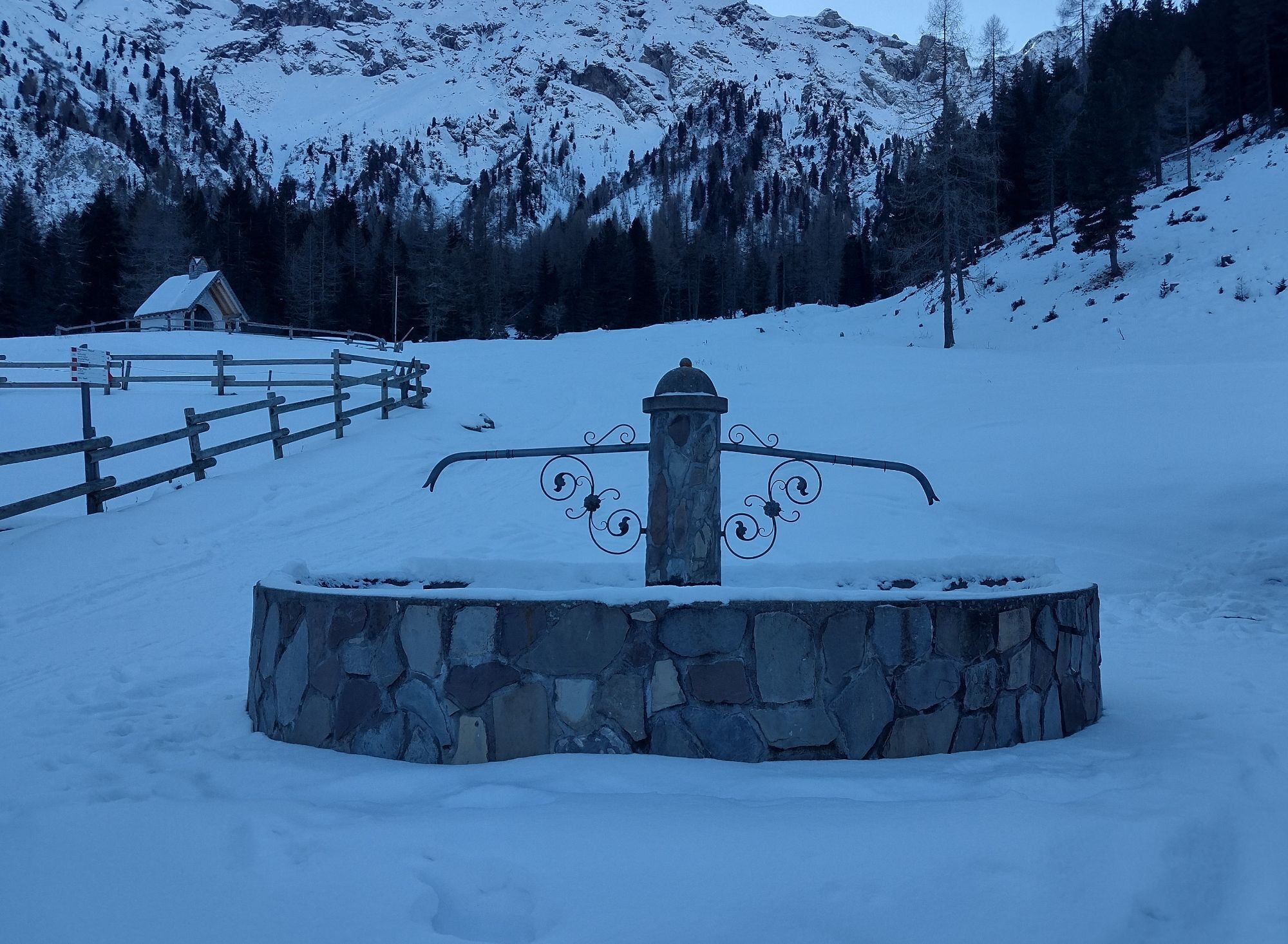
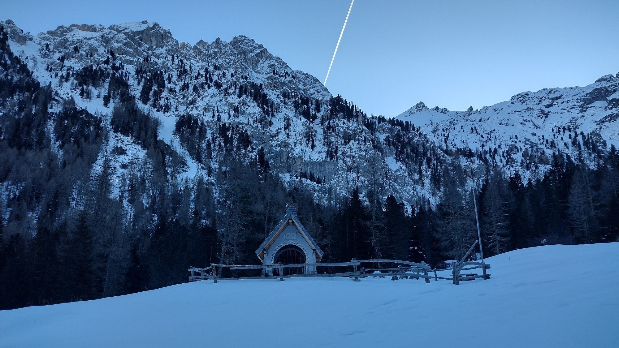
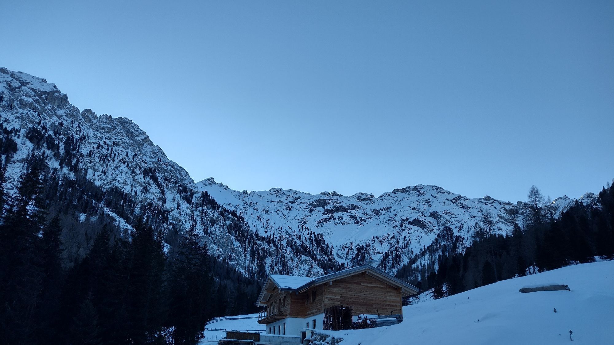
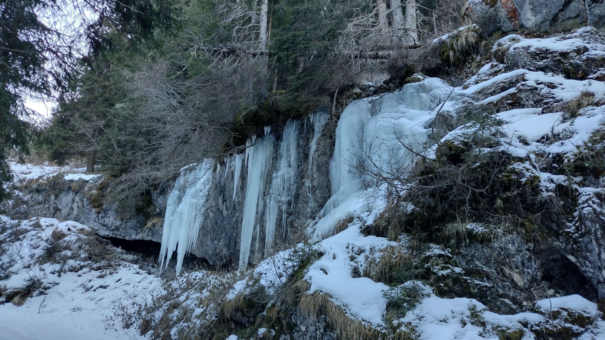

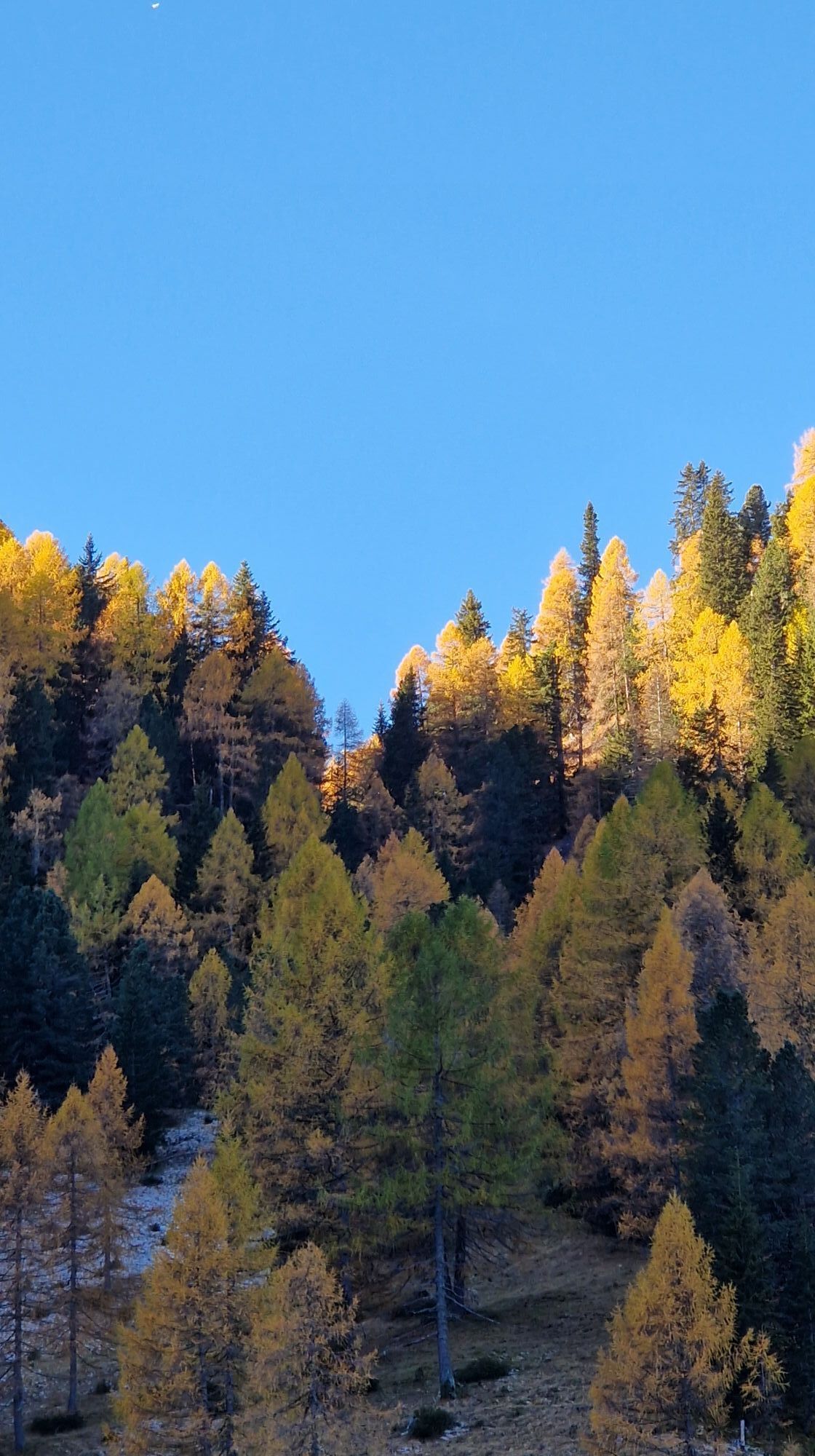
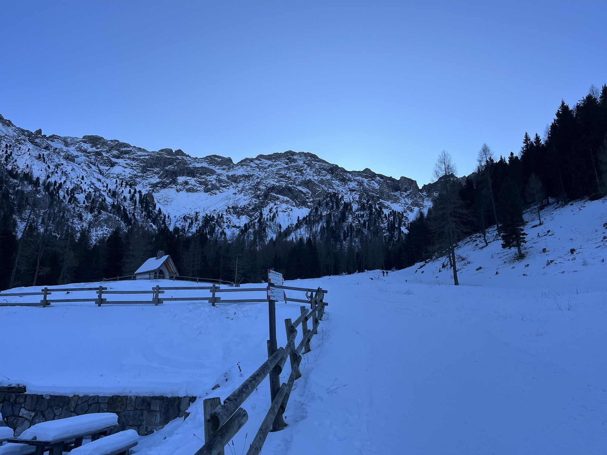
This side valley, next to the better-known and more frequented Val San Nicolò, has preserved the charm of traditional mountain scenery. Challenging climbs alternate with wide, open spaces at higher altitudes,...
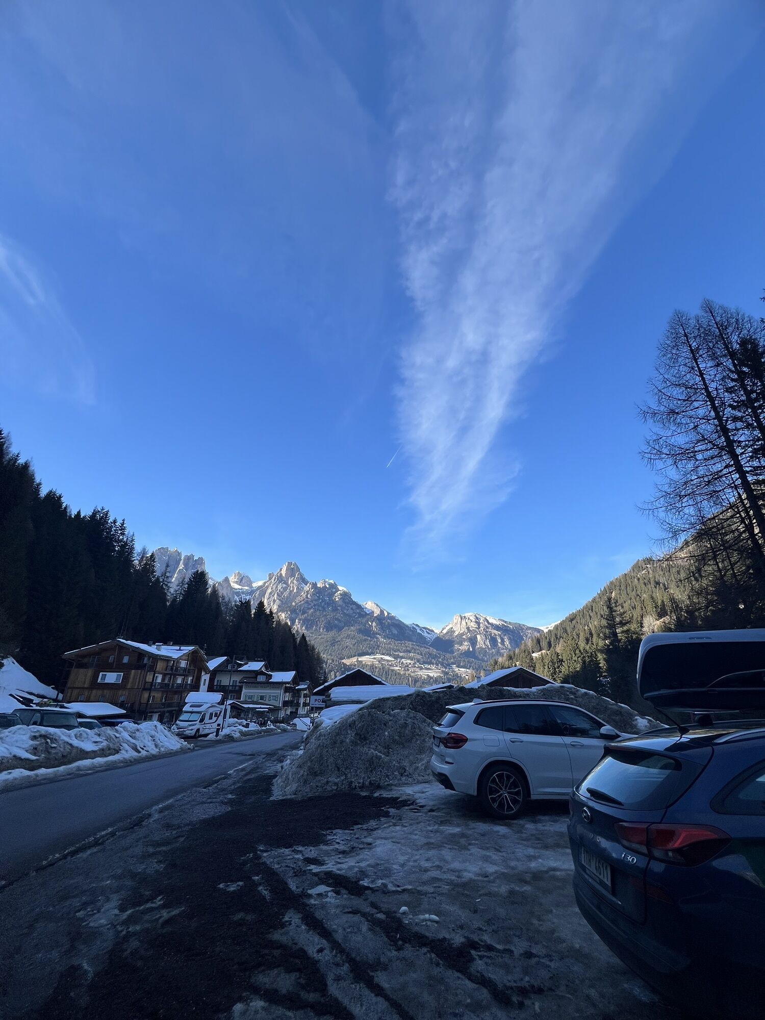
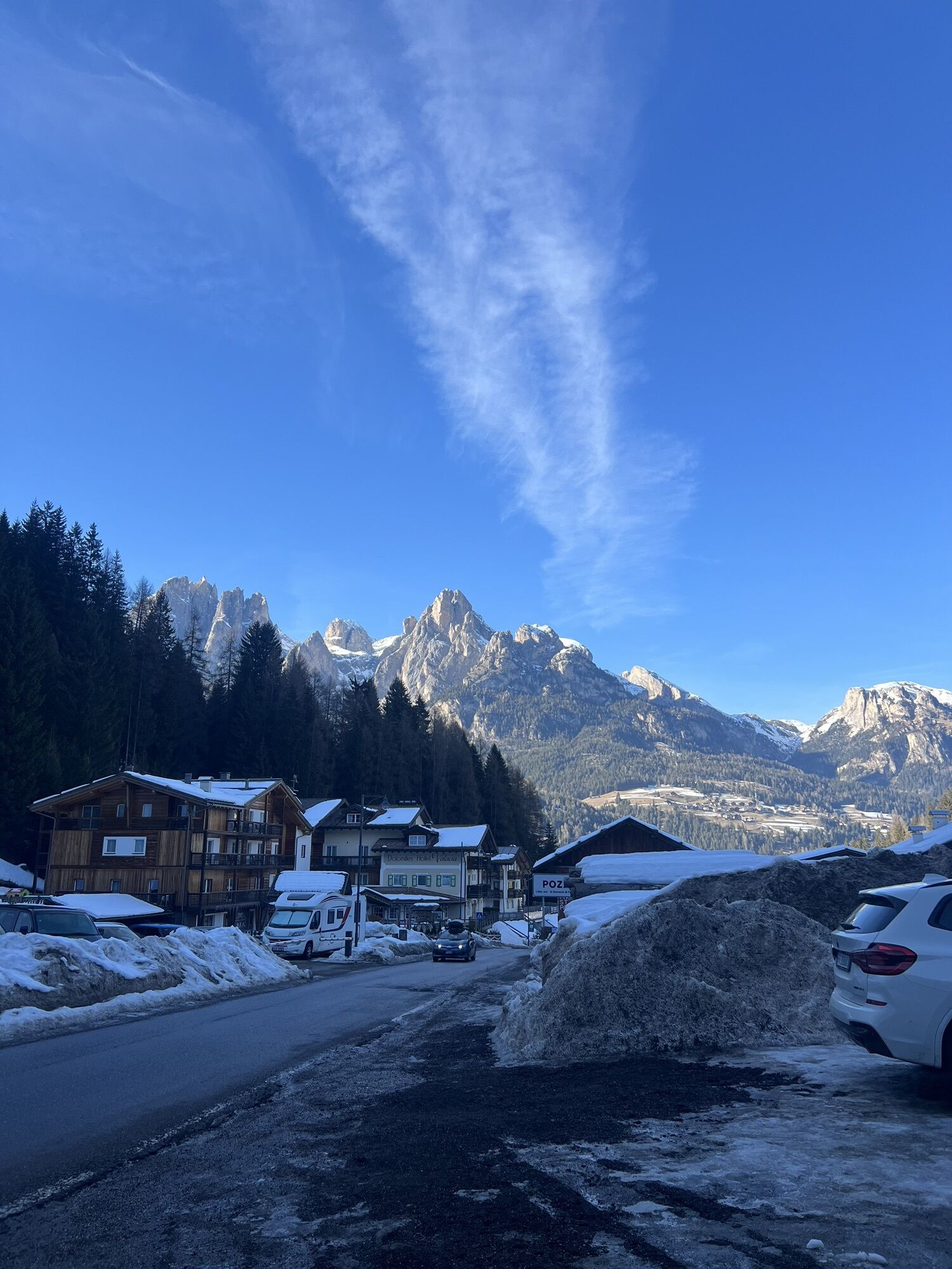
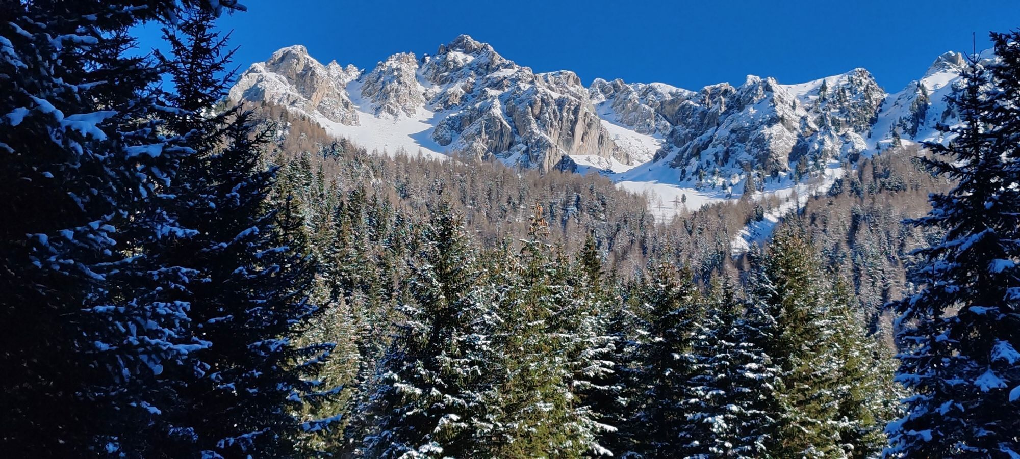
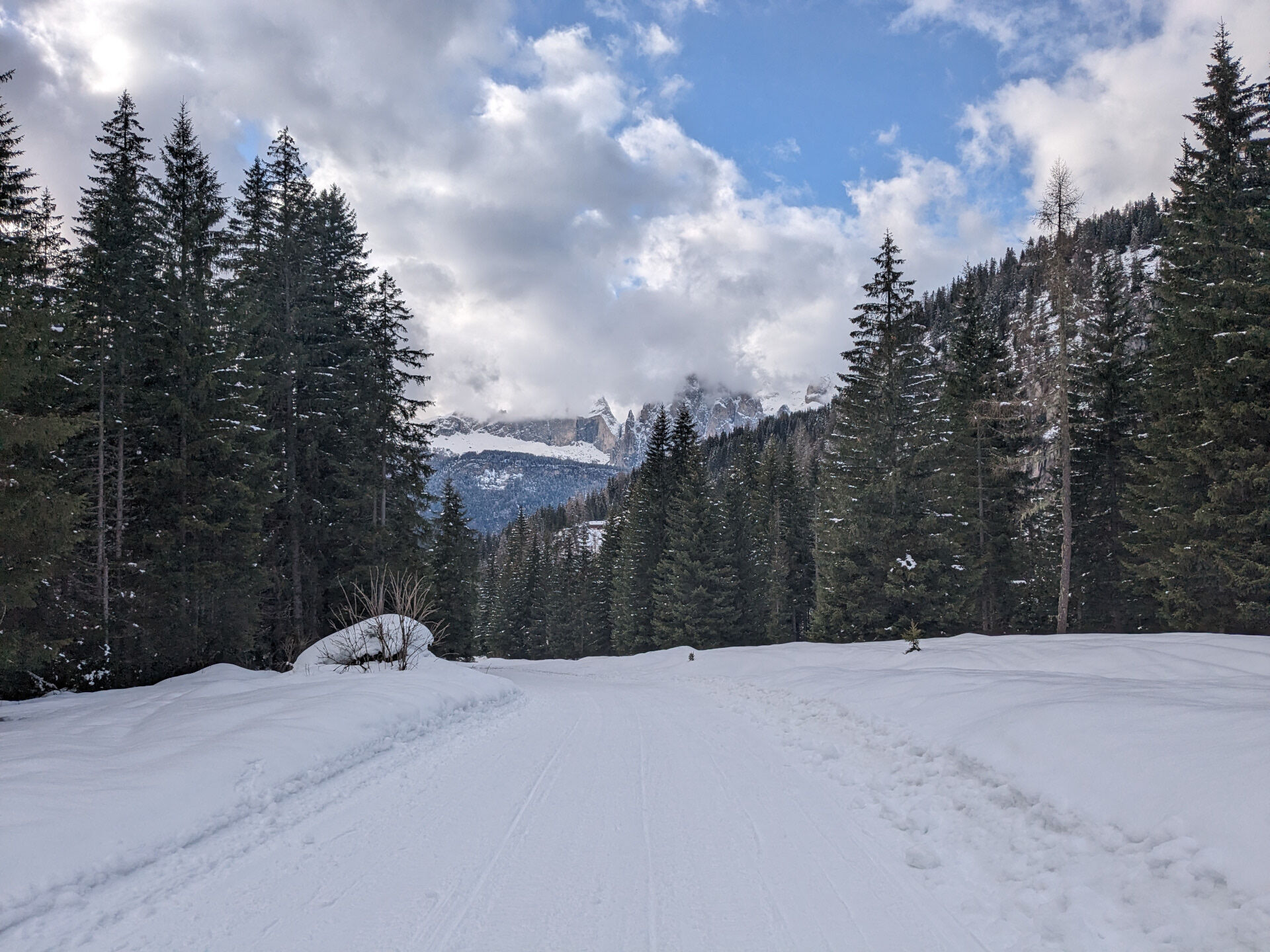
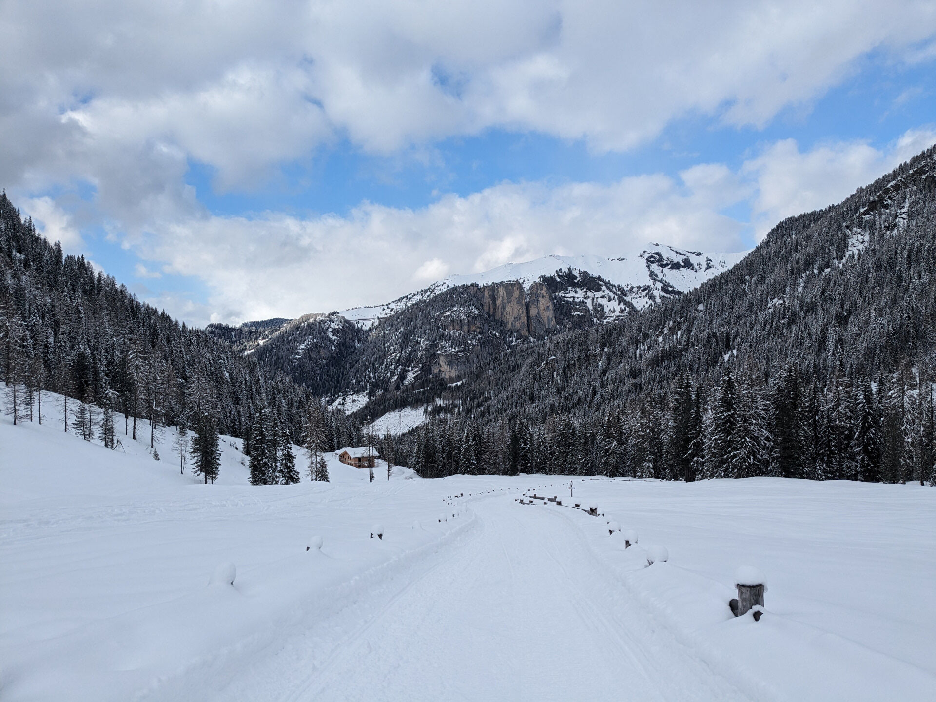
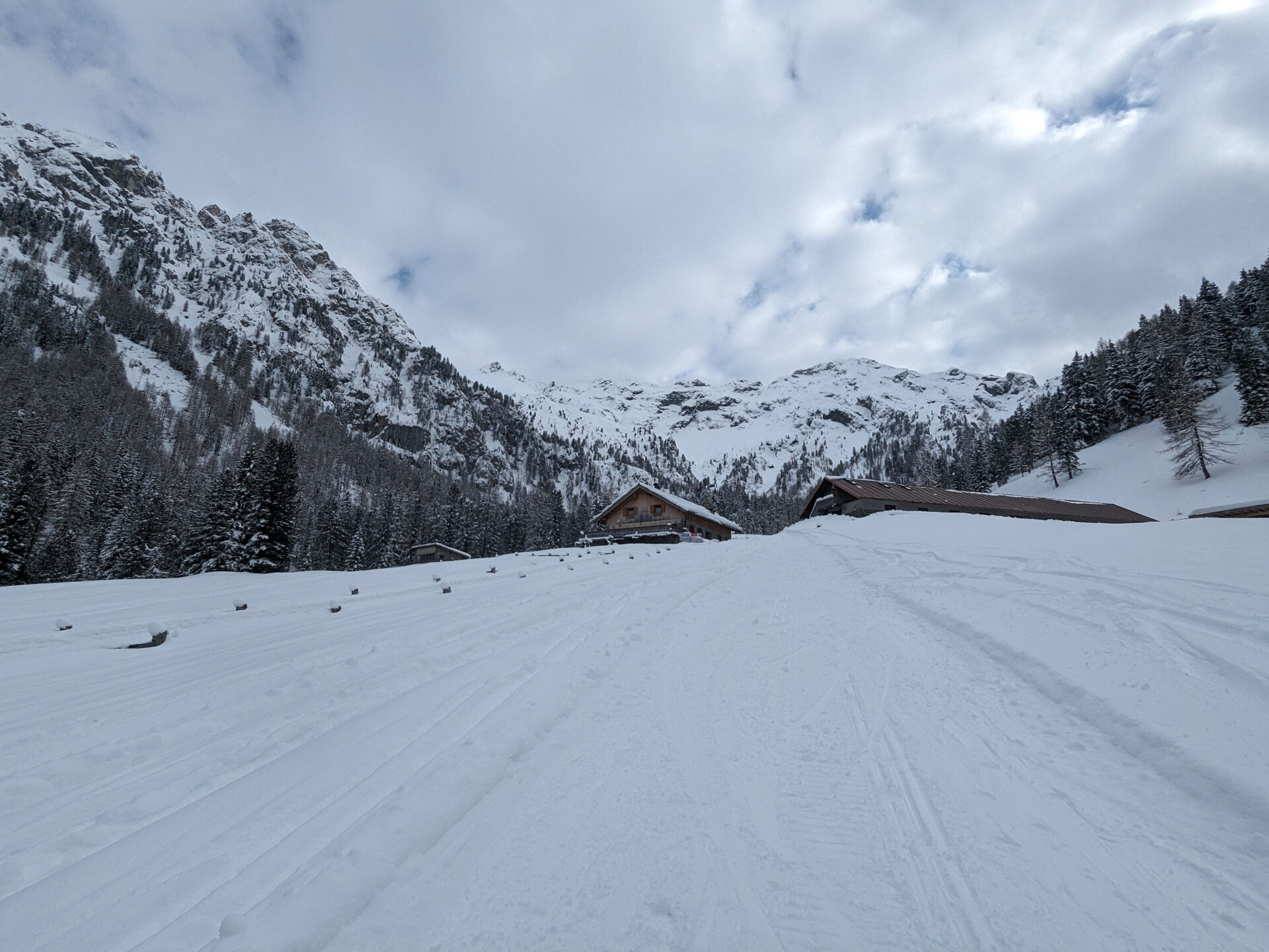
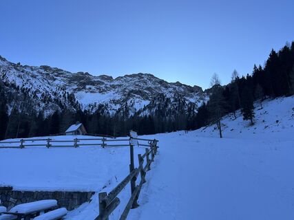
This side valley, next to the better-known and more frequented Val San Nicolò, has preserved the charm of traditional mountain scenery. Challenging climbs alternate with wide, open spaces at higher altitudes, creating a sense of immersion in a truly natural environment. Val Monzoni is a wild valley of pastures, meadows, a few scattered huts and a single alpine farm, which marks the destination of the route. Here, a rushing stream has carved a striking canyon into the rock: the Monzoni Gorge. A bridge allows you to experience this dramatic natural feature up close. Overlooking the valley are the peaks of Sasso Undici and Sasso Dodici in the Monzoni group, together with the Vallaccia mountain hut, which stands like a quiet guardian of the landscape. As you walk and look up, you enter a mountain environment of remarkable geological and botanical value: the Monzoni peaks are unique thanks to their volcanic origin.

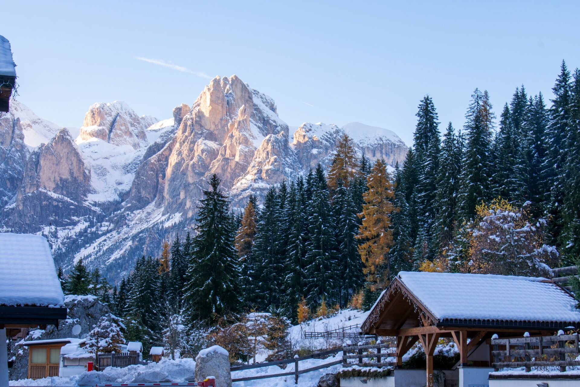
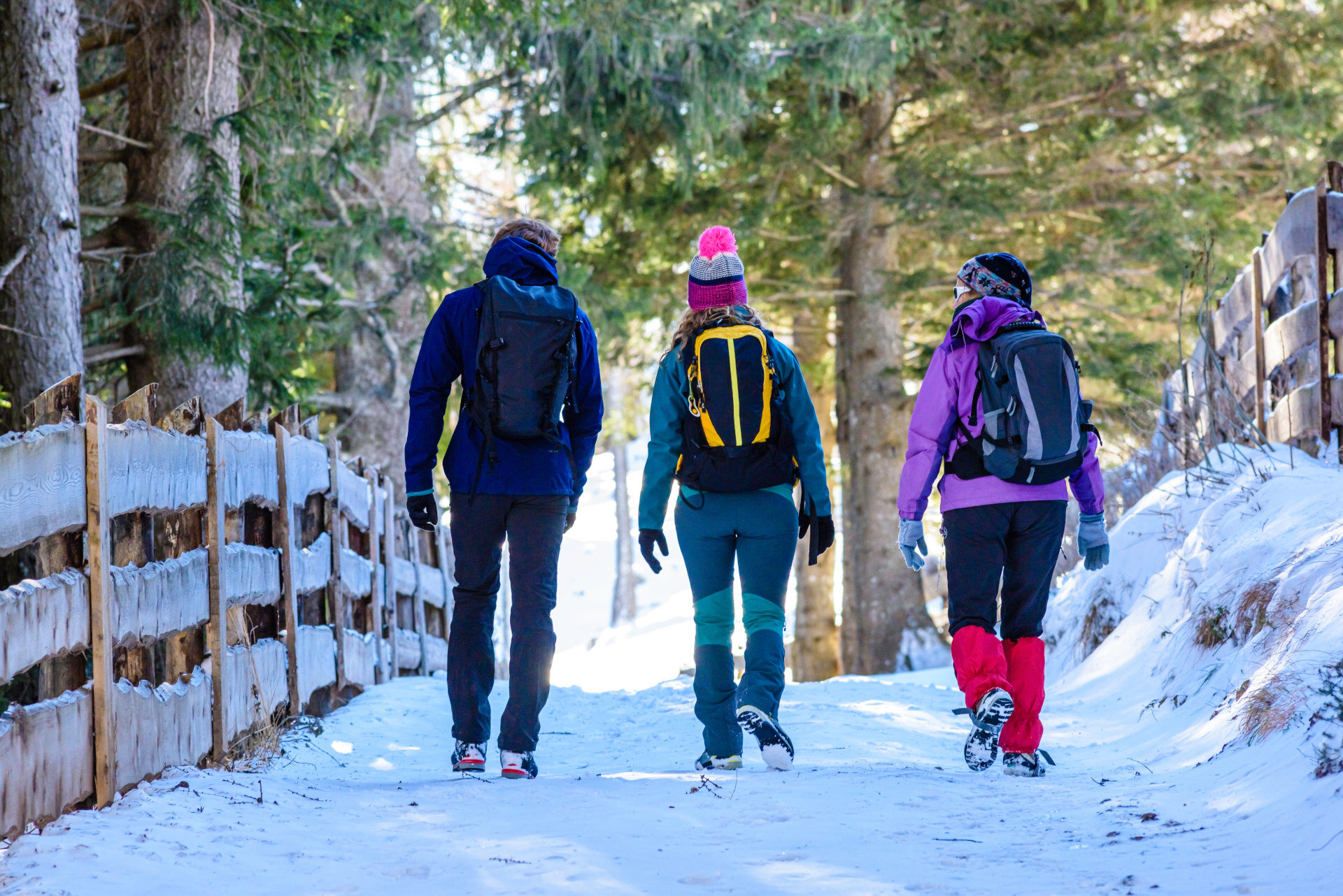
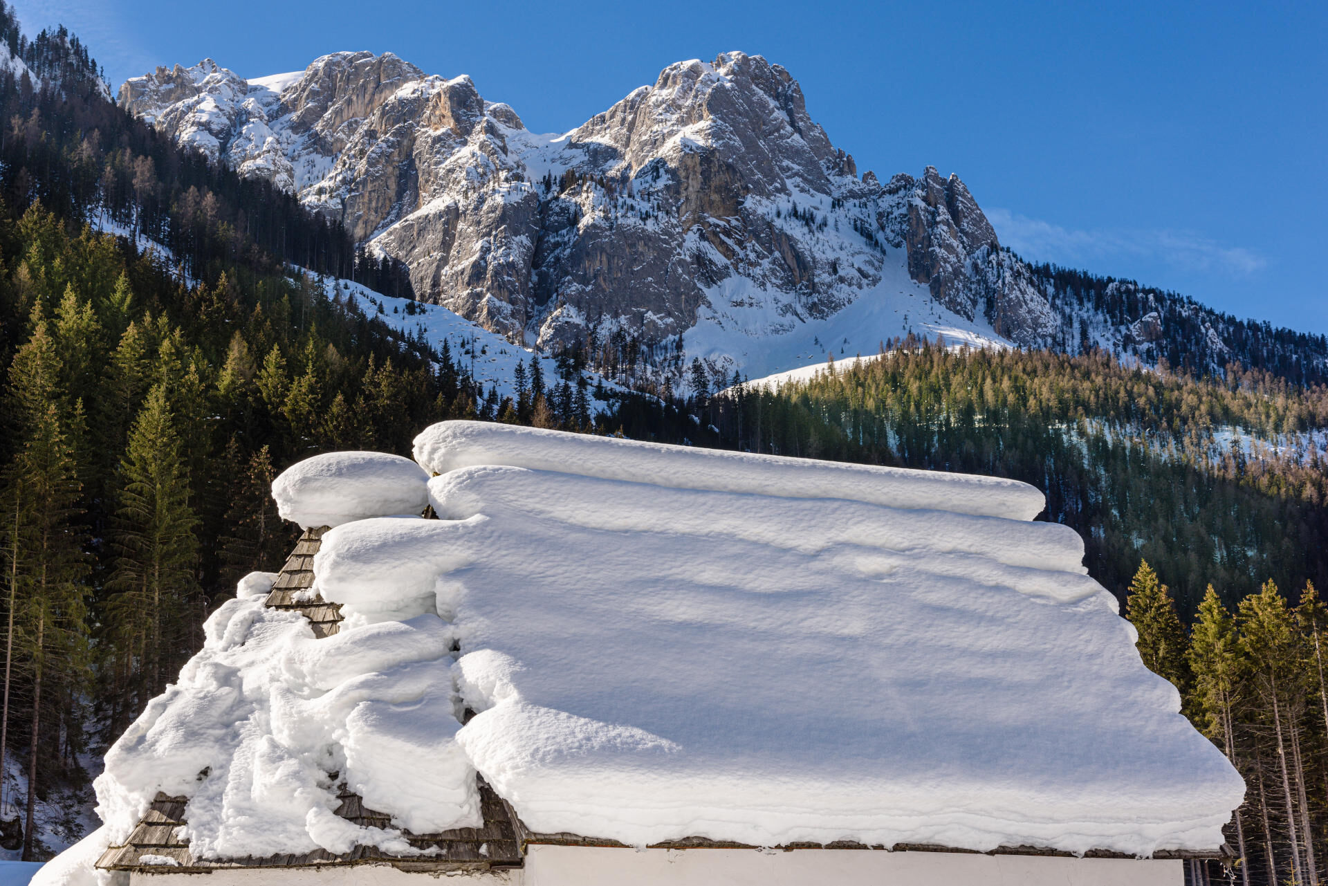
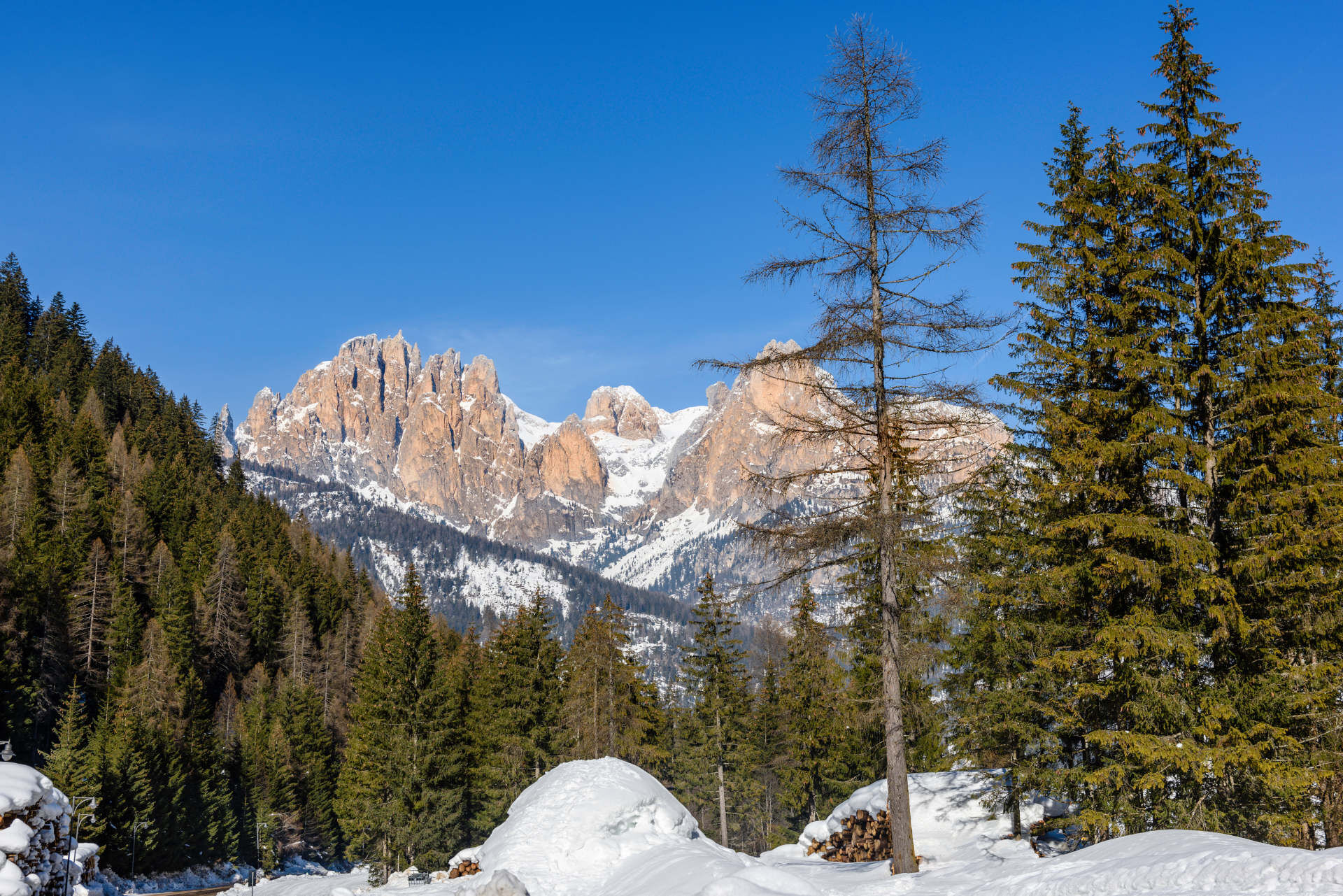
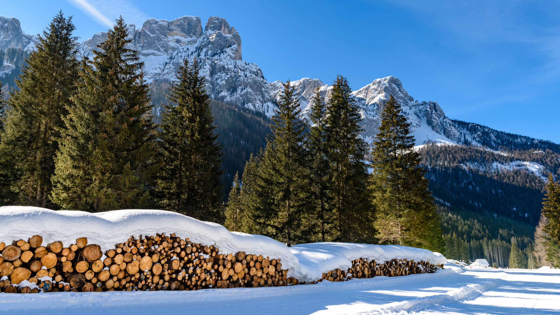
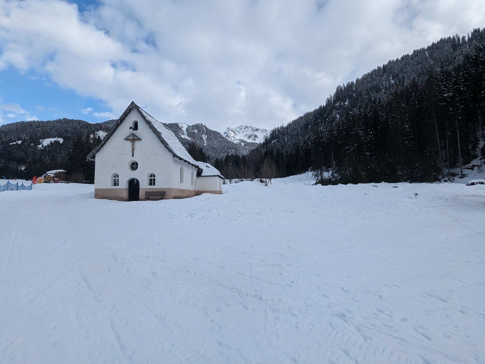
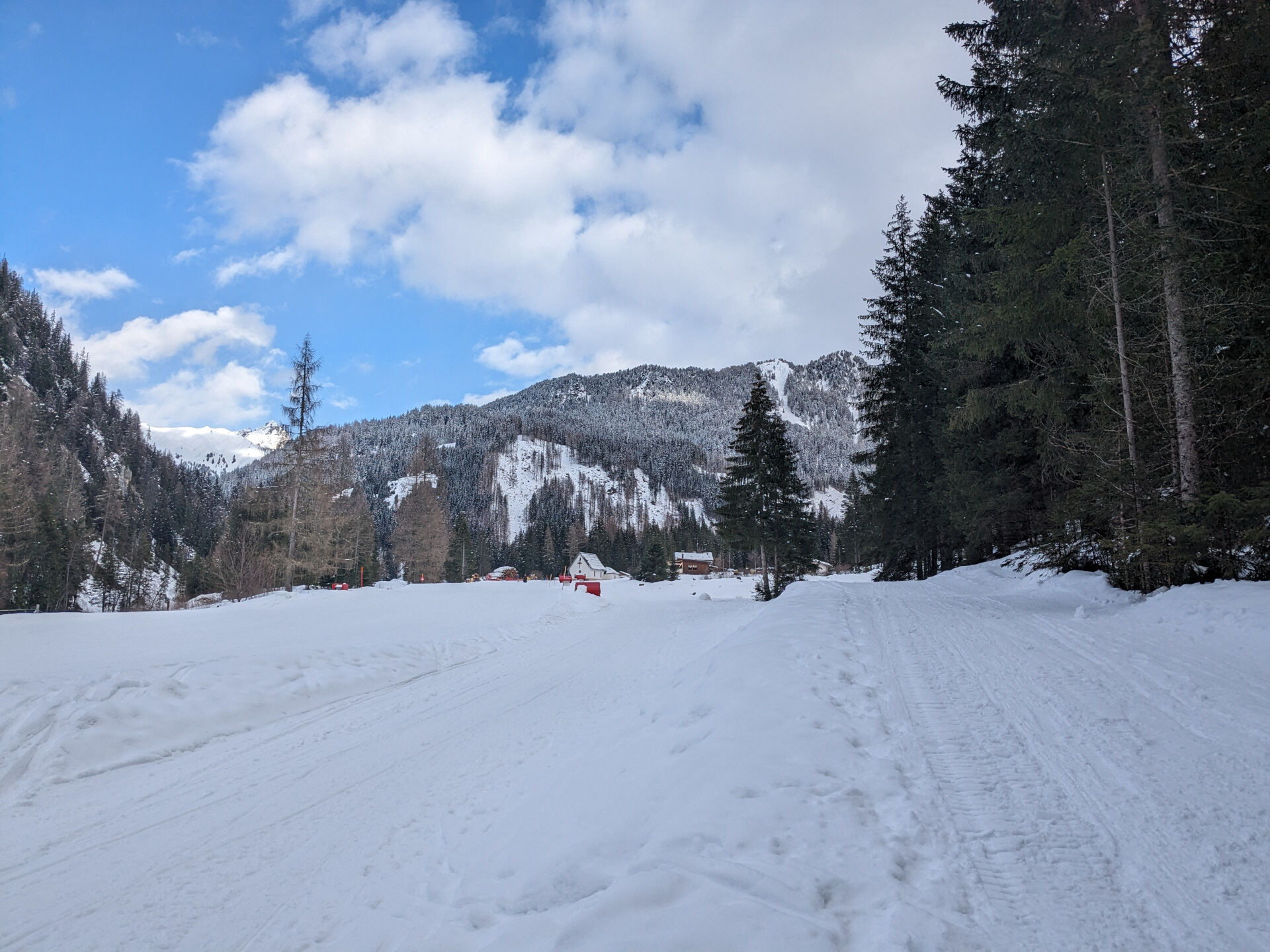
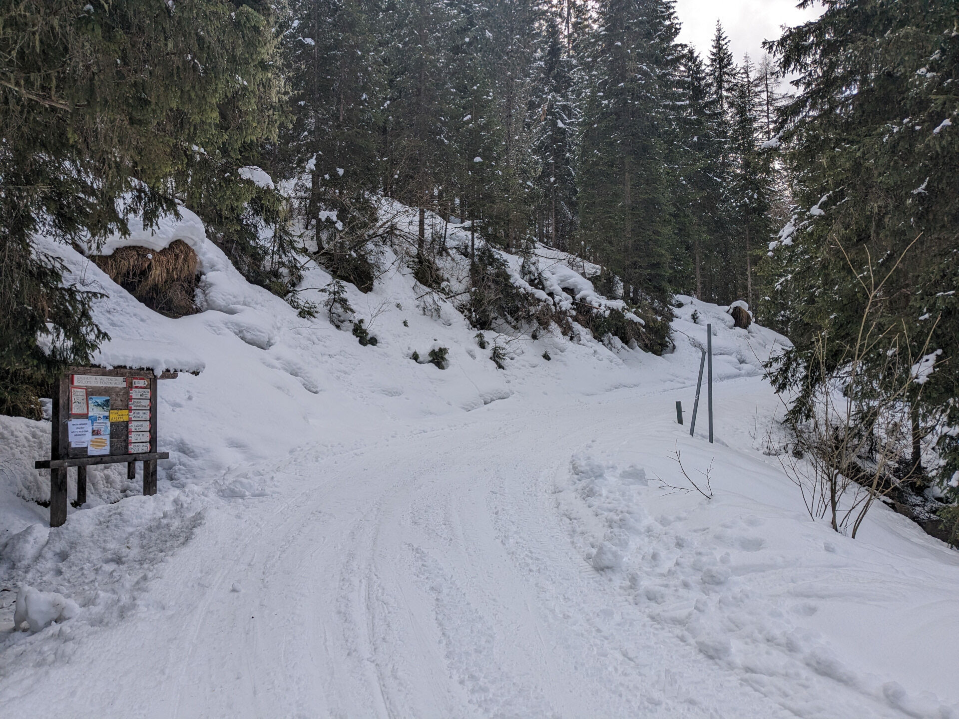
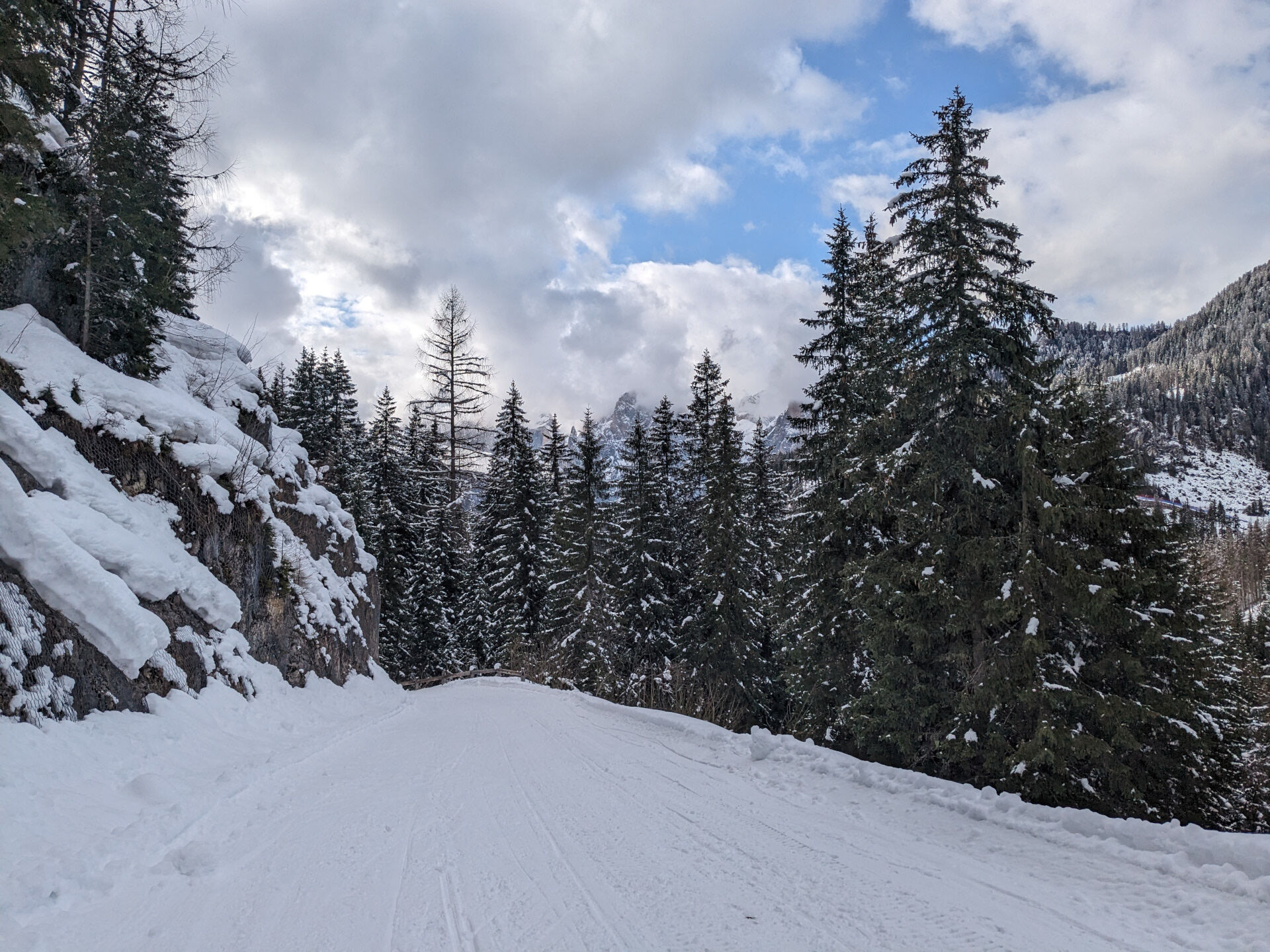
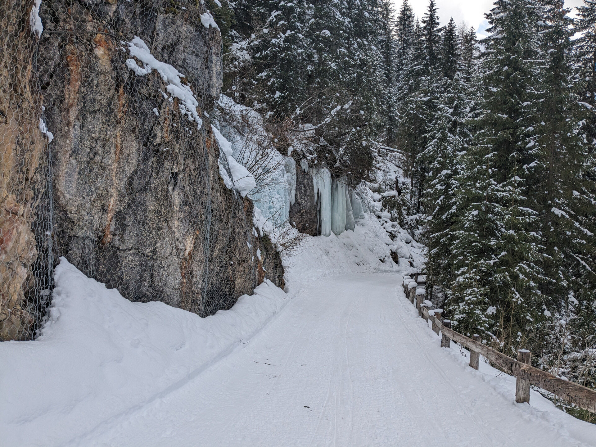
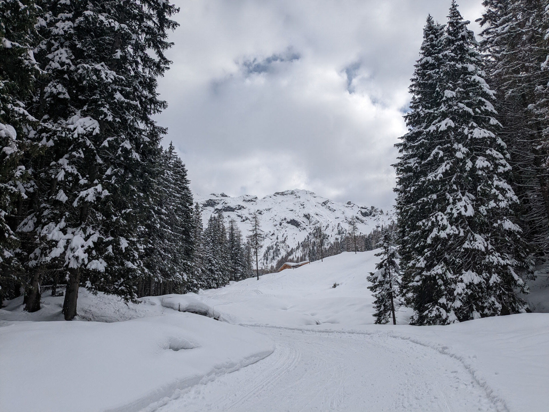
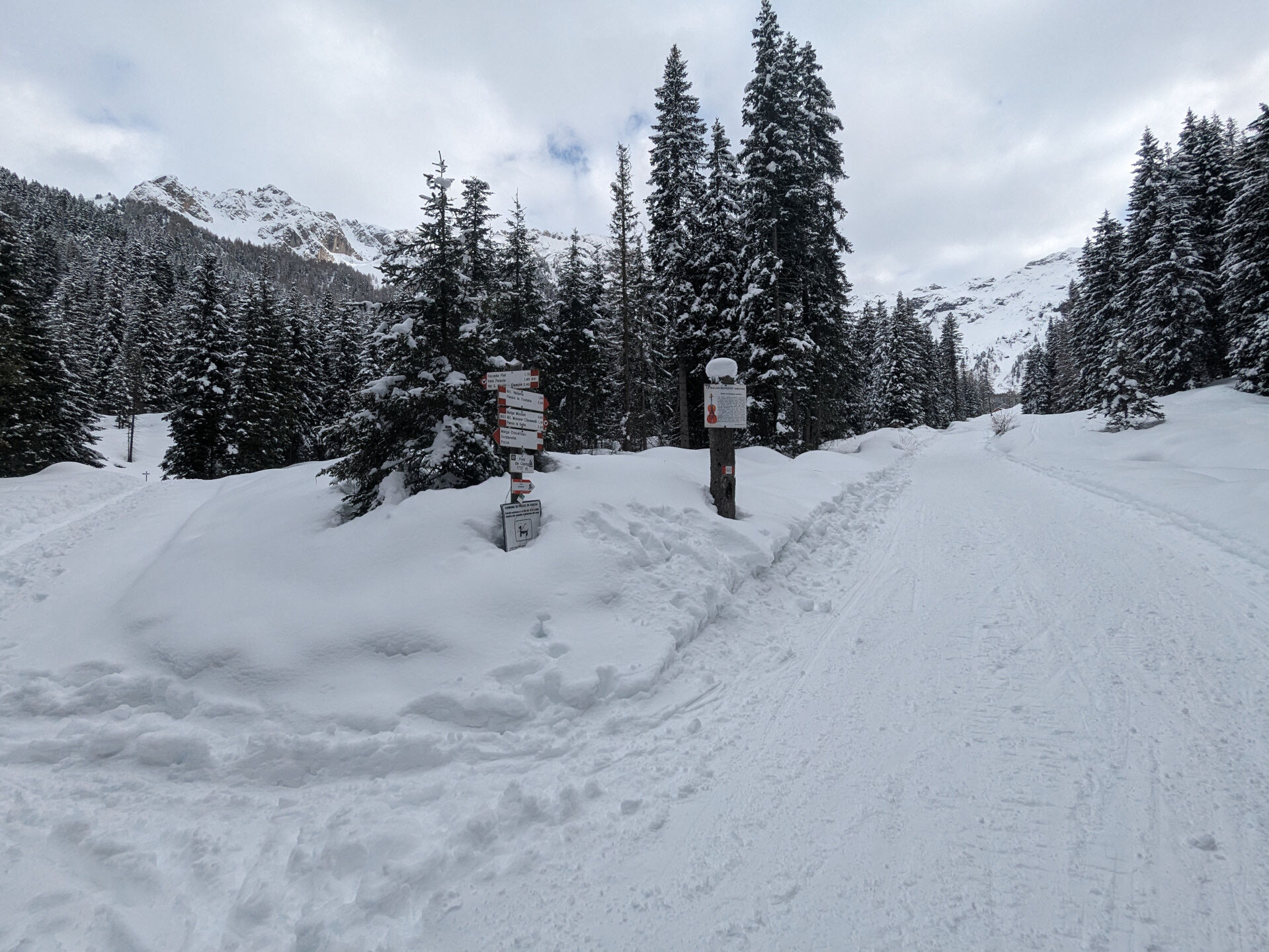
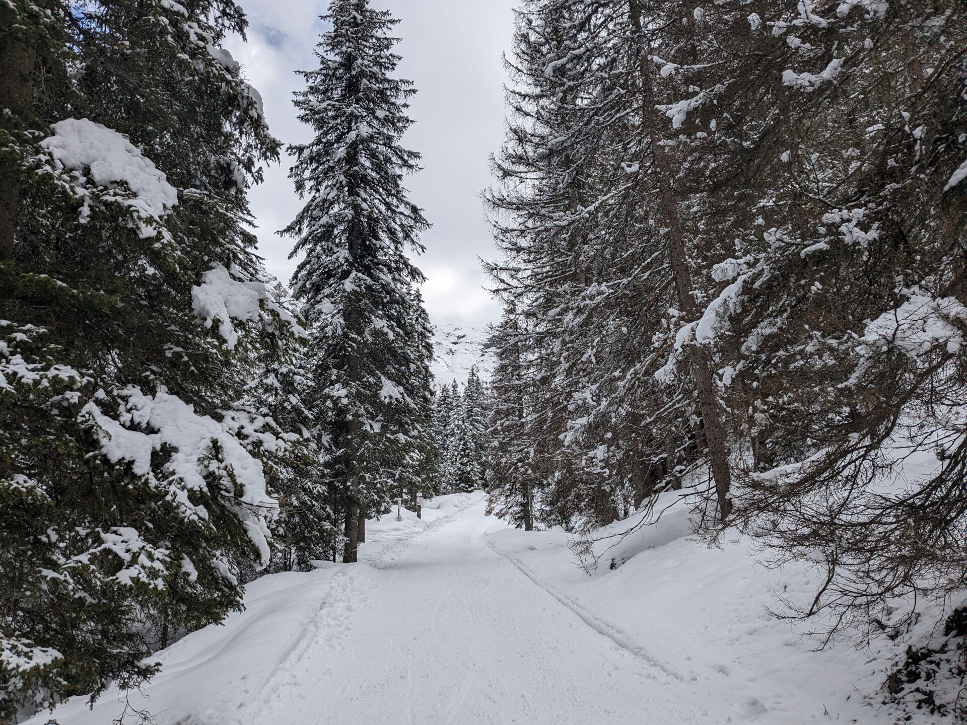

Starting from the hamlet of Meida, follow Strada de Meida, which then becomes Strada Ruf de Ruacia, until you reach the San Nicolò stream, near the Soldanella restaurant. Just before the bridge (Pont de Garneté), turn right onto a small dirt track. The climb is gentle at first, but gradually becomes steeper. You gain altitude through a short series of hairpin bends, then the route levels out until it joins the road into Val San Nicolò.
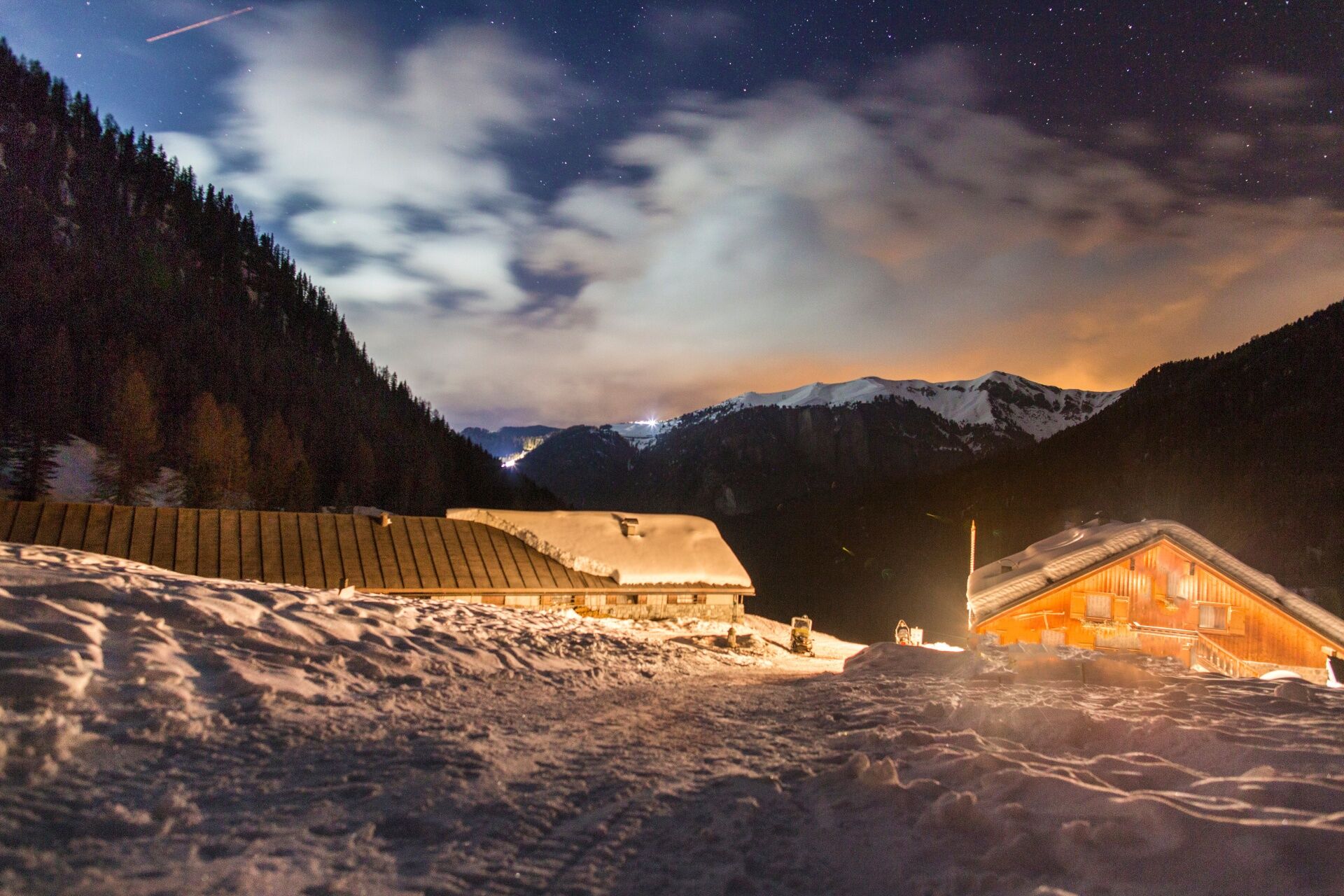
Once you reach the Chapel of the Crucifix, right and follow trail no. 603 into Val Monzoni. Pass the barrier, a hairpin bend and a long diagonal section. The ascent continues steadily and is steeper in places. After a short but steep stretch, ignore the junction on the right for trail no. 635 to Pian de la Peracia and continue along a flatter section until you cross the Monzoni stream. From here, continue to Malga Monzoni, set among wide, snow-covered pastures.
From Malga Monzoni, if conditions allow, you can continue along summer trail no. 624 towards the Vallaccia mountain hut. It is advisable to contact the hut in advance.
Return along the same route. Please be aware of ski mountaineers, snowmobiles and sledgers.
Tak
Tak
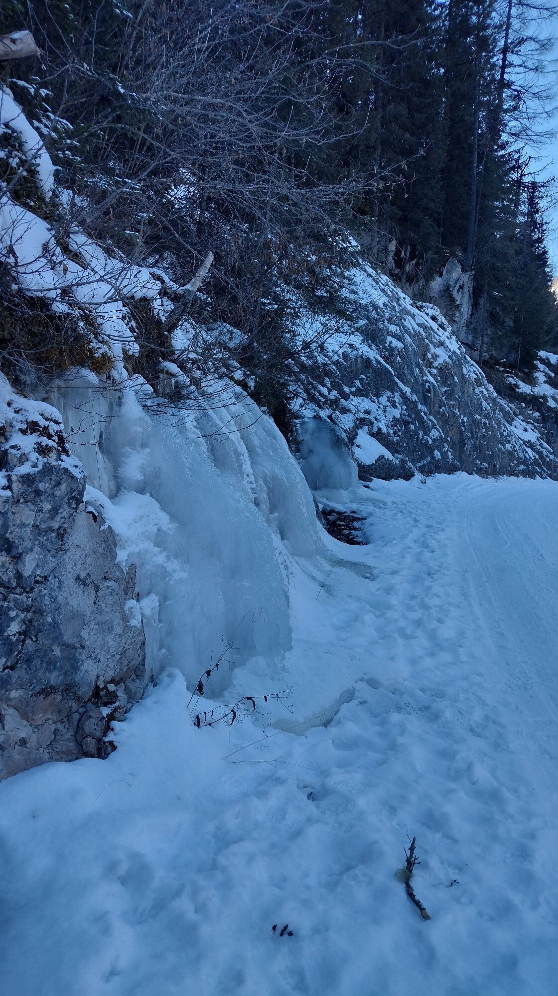
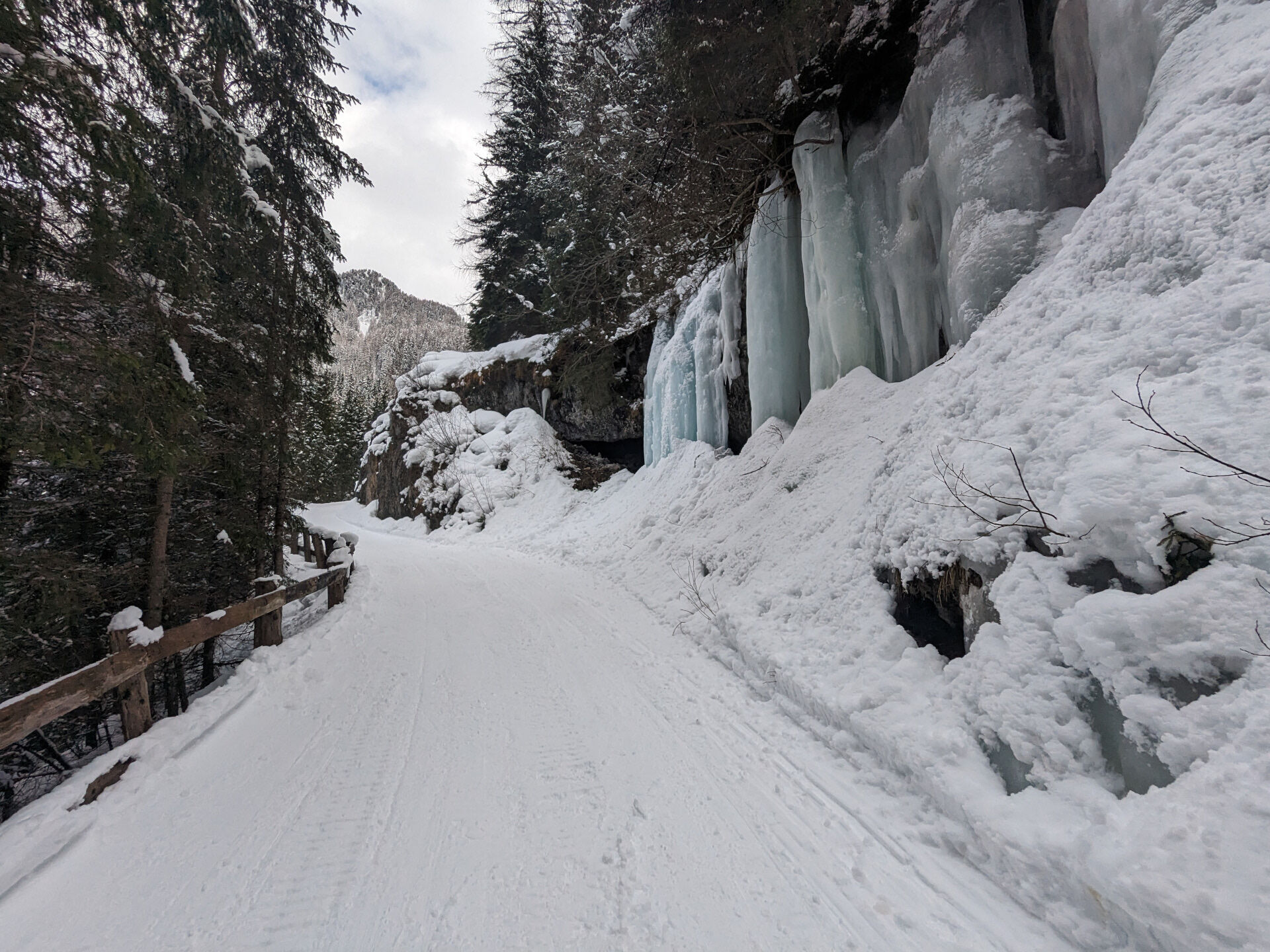
Periodic maintenance and inspection of the trails will be provided, especially after snowfall. It is recommended to always pay close attention to the type of terrain, as icy and slippery sections cannot be ruled out. It is also recommended to always be properly equipped. Walking times are approximate only, and it is important to consider that walking on snow is much more strenuous than walking without it.
2. Inform someone about your planned itinerary, return time and possible changes.
3. Plan your outings with others and, when possible, rely on a mountain professional.
4. Bring avalanche rescue equipment (beacon, shovel and probe) with you, practise using it regularly and do a group test before setting off.
5. Make sure you have suitable clothing and equipment (poles, crampons, water, snacks, etc.).
6. Always keep your pet on a leash.
7. Constantly and carefully assess the conditions of the route and your mental, physical and technical abilities. If in doubt, turn back.
8. Do not cross ski slopes, either downhill or cross-country.
9. Respect the environment around you and take your rubbish back down to the valley.
10. Help those in need. In case of real need and for emergencies, call 112.
Other access routes to Val di Fassa
From the A27 motorway (Venice), Belluno/Ponte nelle Alpi exit: SS 203 to Agordo, then SP 346 over Passo San Pellegrino to Moena (Val di Fassa). From the Moena bypass, continue towards Canazei From the A27 motorway (Venice), Belluno/Ponte nelle Alpi exit: SS 203 to Agordo/Alleghe/Rocca Pietore, then SP 641 over Passo Fedaia to Canazei From Arabba: SS 48 over Passo Pordoi to Canazei From Val Gardena: SS 242 over Passo Sella to Canazeisüdtirolmobil bus lines - Val di Fassa
Line 180: Vigo di Fassa - Passo Carezza - Bolzano- Nearest bus stop (Trentino Trasporti): Pozza di Fassa > Pera (Vac)
- Nearest ski bus stop: Pozza di Fassa > Buffaure lifts
Parking in front of Hotel Valacia in "Meida".
WT2
Strèda Roma, 36
38032 Canazei (TN)
Phone +39 0462 609500
info@fassa.com
www.fassa.com
Malga Monzoni can be reached on foot, by snowshoes or ski mountaineering. Possible downhill back by sledge.
WARNING: the Malga Monzoni is closed for winter 2024-2025!
At the trailhead there is a Girsberger Artva checkpoint allowing ski mountaineers or snowshoers equipped with self-rescue gear to check the status of their device. The checkpoint also records passages, so you know exactly how many people pass on the trail and how many of them have the Artva.
Kamery internetowe z trasy
Uzyskaj wgląd
Zawsze na żywo z ponad 9 500 kamer internetowych. bergfex Jako użytkownik Pro, możesz teraz zobaczyć odpowiednie kamery internetowe dla wielu wycieczek w aplikacji wycieczki od. Pozwala to na bezpośredni podgląd aktualnych warunków.

Popularne wycieczki w okolicy
-
4,8
Torre di Pisa mountain hut
średniWędrówka 9,09 km -
4,7
Pordoi Pass - Sass Pordoi - Forcella Pordoi - Piz Boè - Boè Refuge - Forcella Pordoi - Pordoi Pass
ciężkiWędrówka 8,39 km -
5,0
Langkofel Klettersteig/Ferrata Furcela de Saslonch
ciężkiVia ferrata 7,07 km -
5,0
Um den Langkofel
średniWędrówka 9,76 km -
4,0
Der Friedrich-August-Weg
średniWędrówka 10,4 km -
4,9
Lang- und Plattkofel Umrundung
średniWędrówka 17,5 km -
4,9
Santnerpass Klettersteig
średniVia ferrata 8,29 km -
4,8
Langkofel-Umrundung
średniWędrówka 12,9 km -
4,4
Viel dal pan
światłoWędrówka 6,60 km -
4,5
Dolomiten Sellagruppe, Alb. Col di Lana, Sas de Pordoi, Piz Boé retour 22.06.2016
średniWędrówka 5 km

Wędrówki i tropienie


Nie przegap ofert i inspiracji na następne wakacje
Twój adres e-mail została dodana do listy mailingowej.





