






Marcialonga Cycling
Poziom trudności: 6
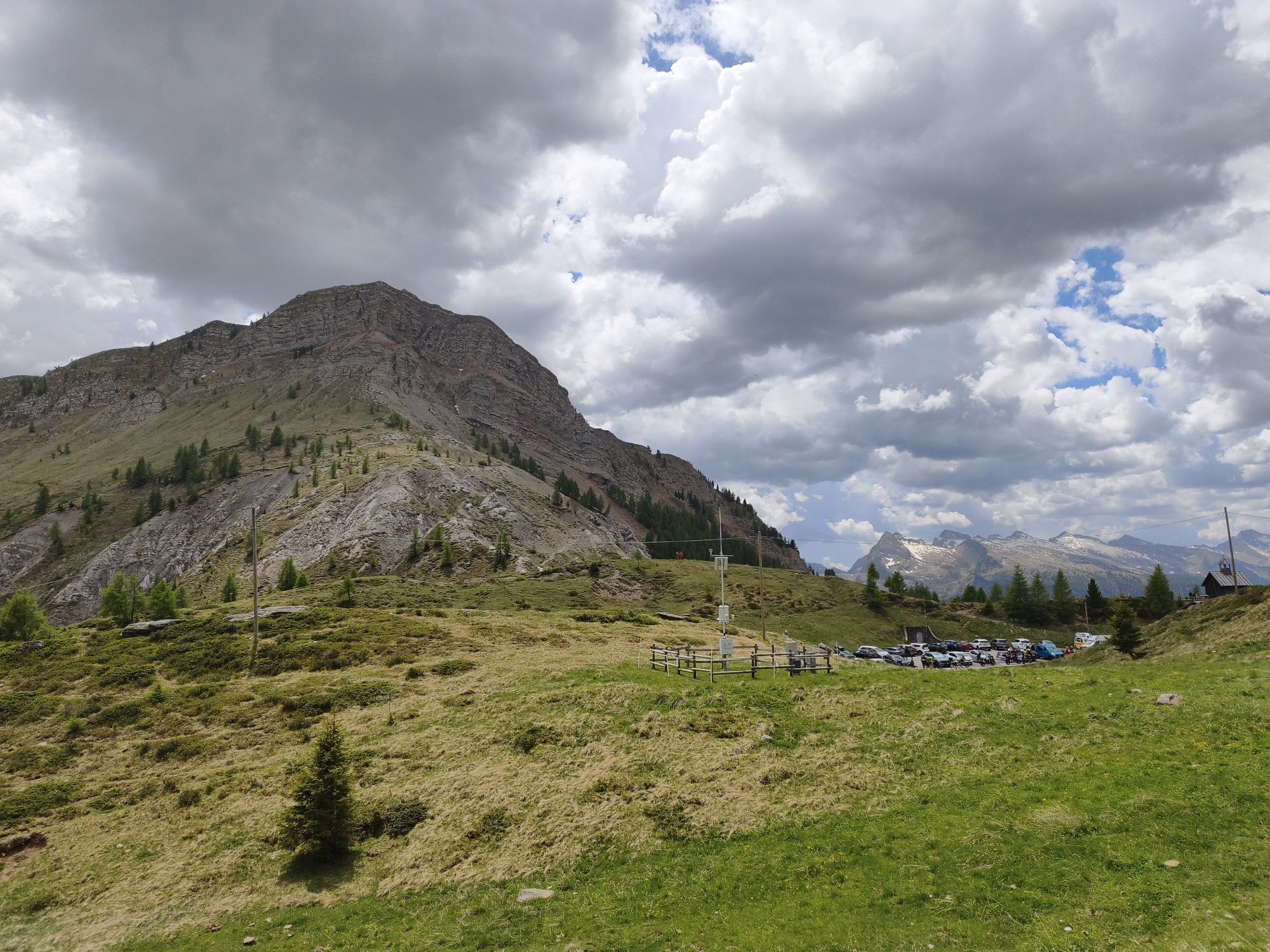

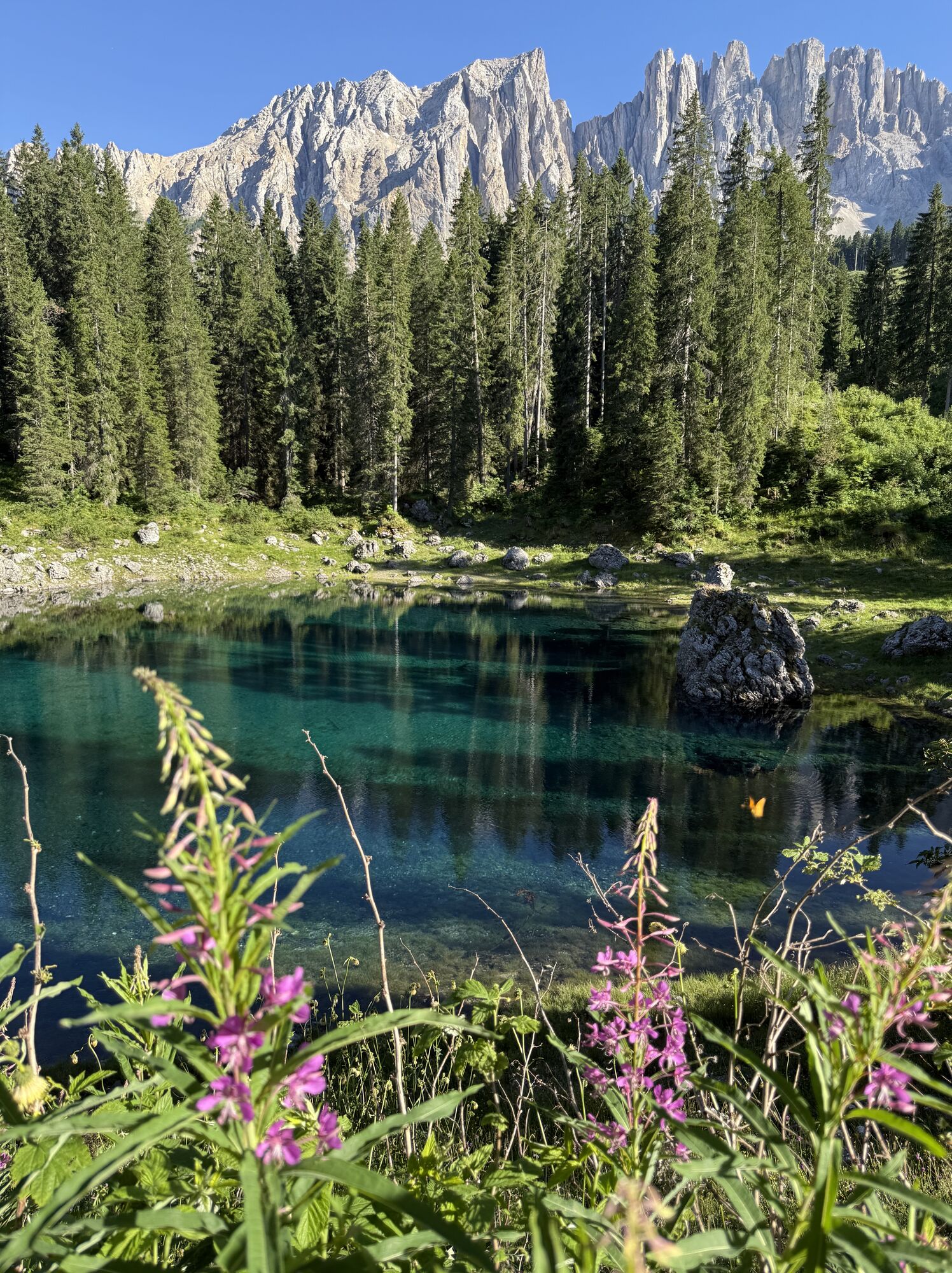
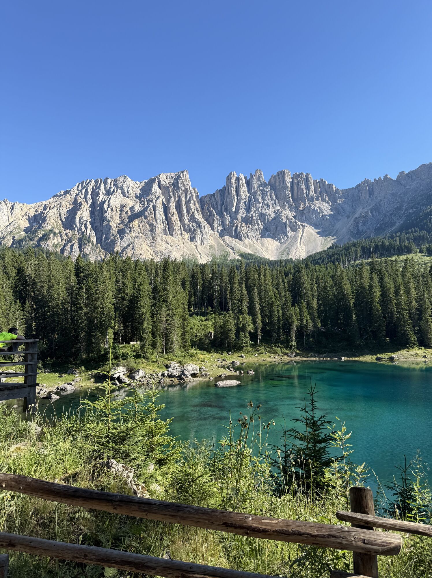
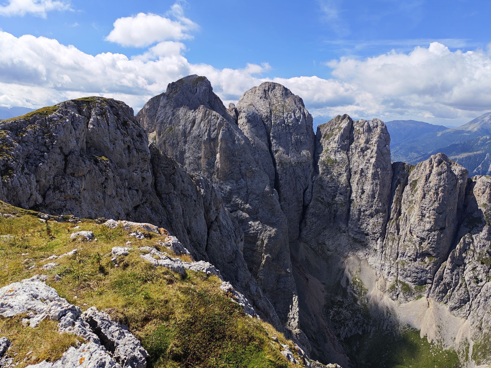
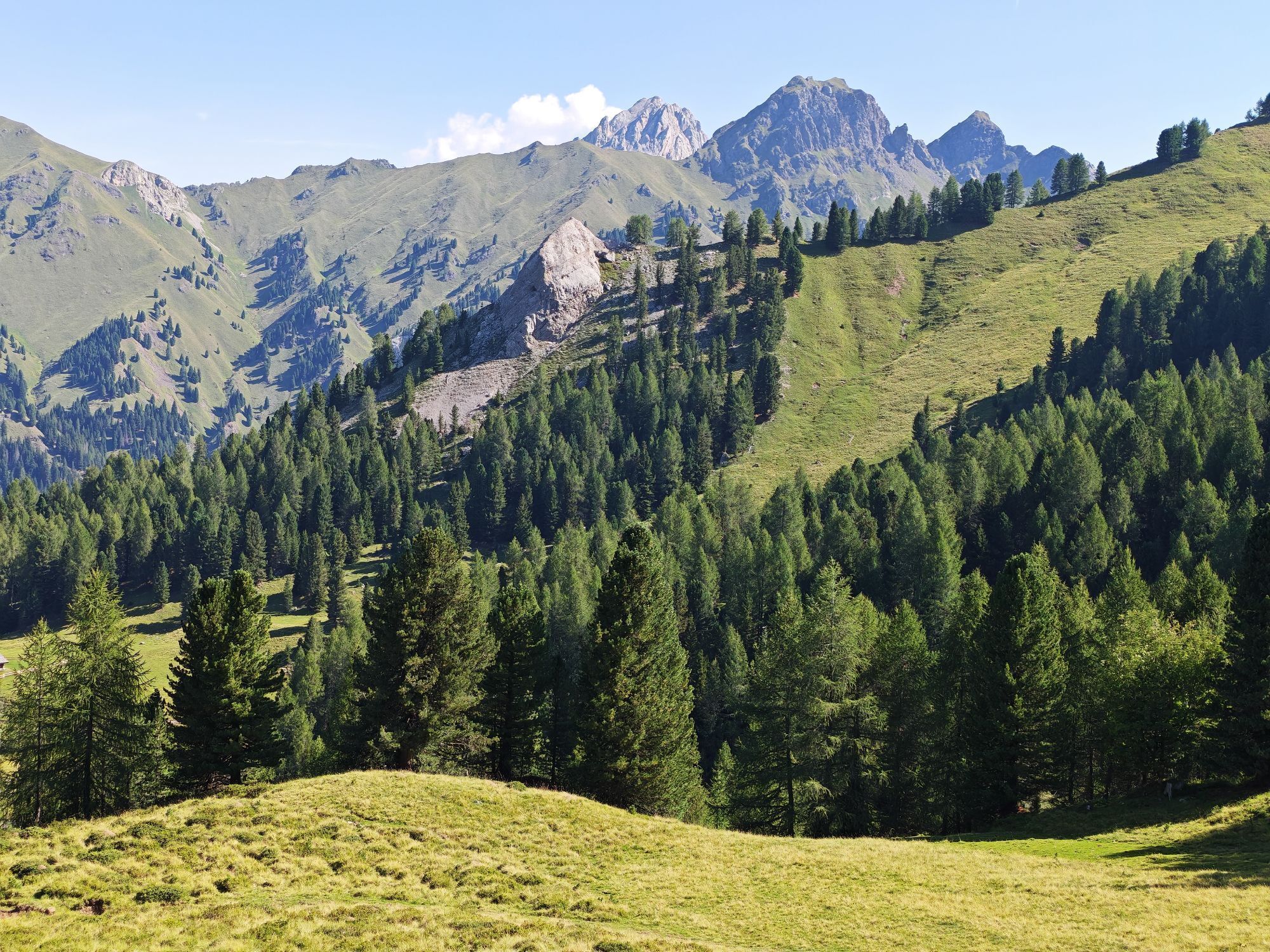
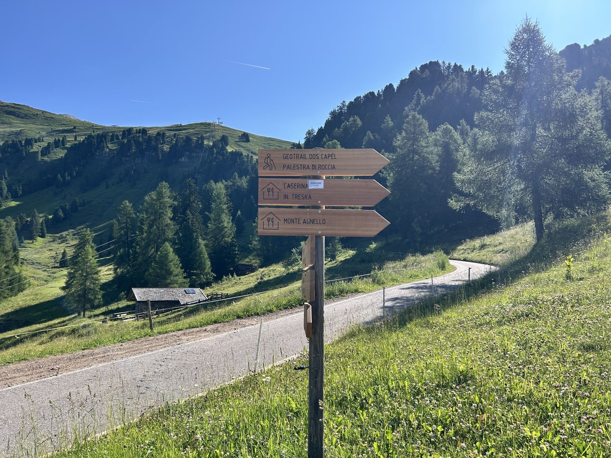
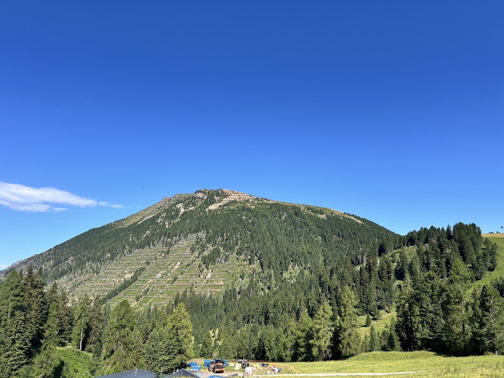
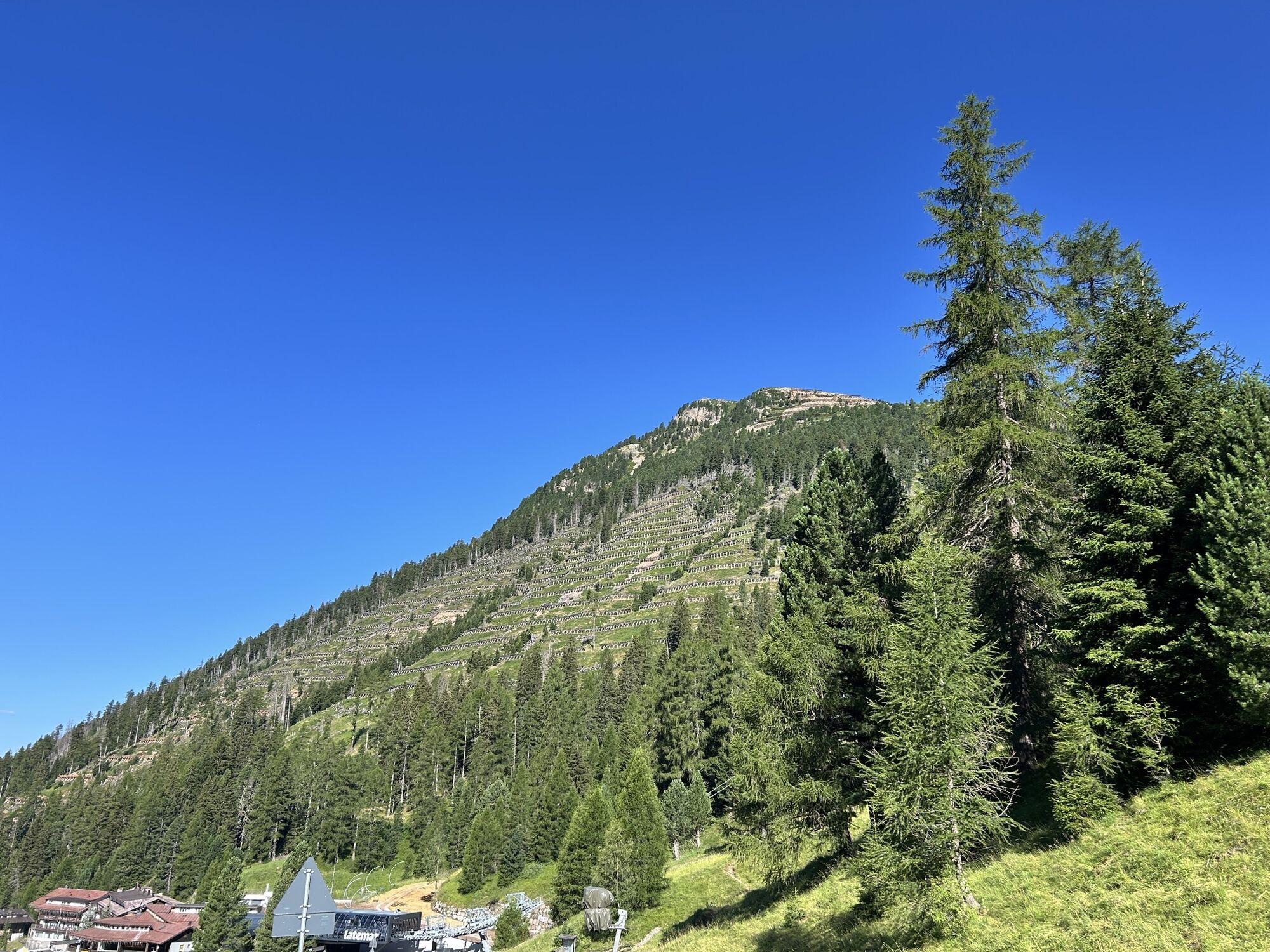
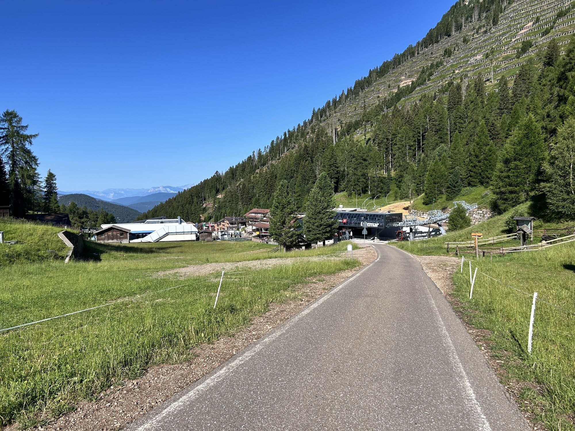
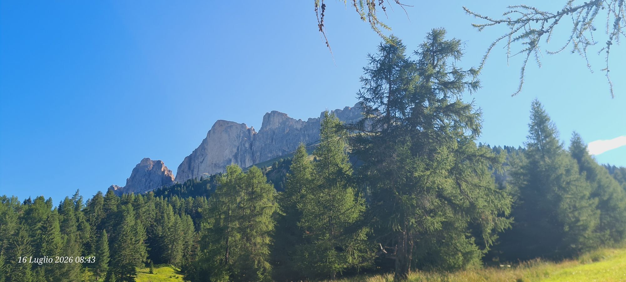
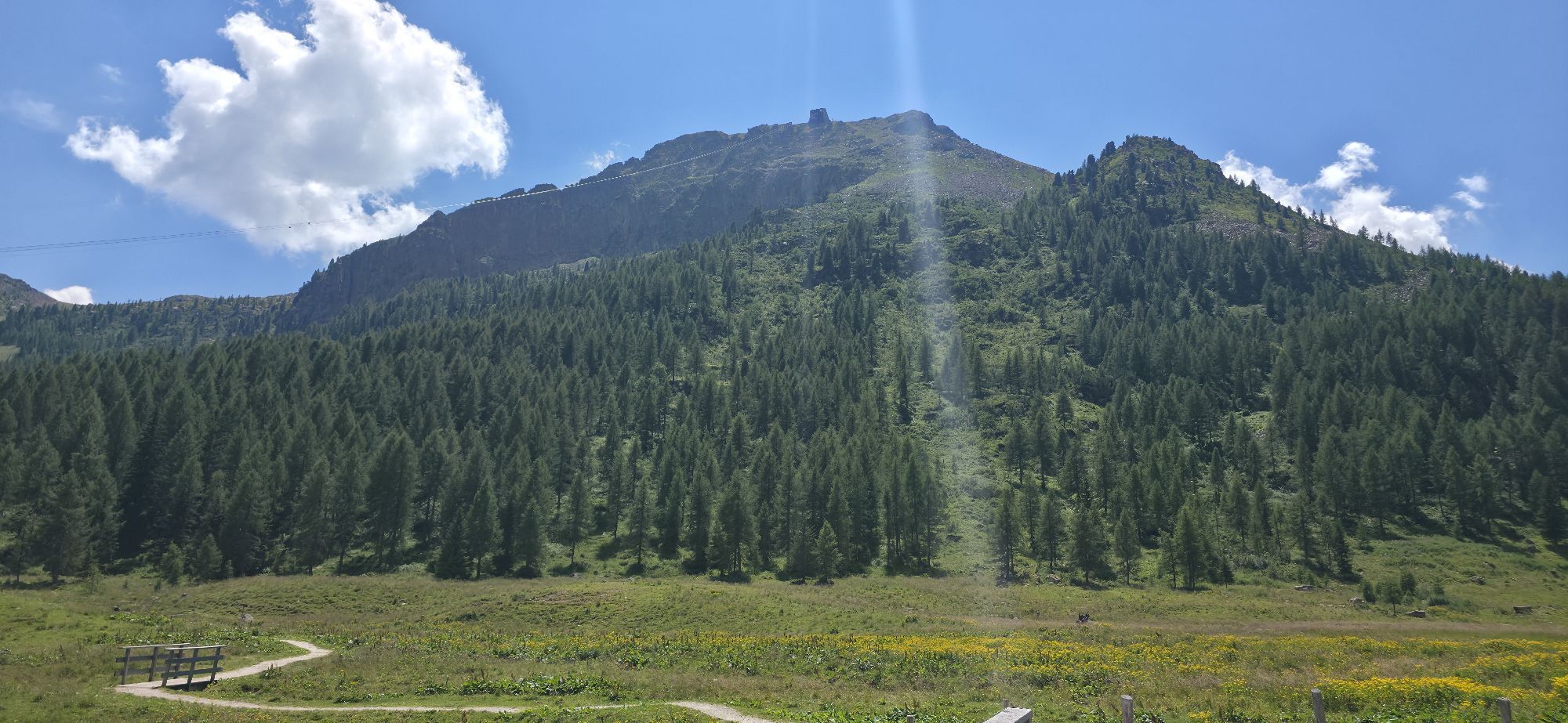
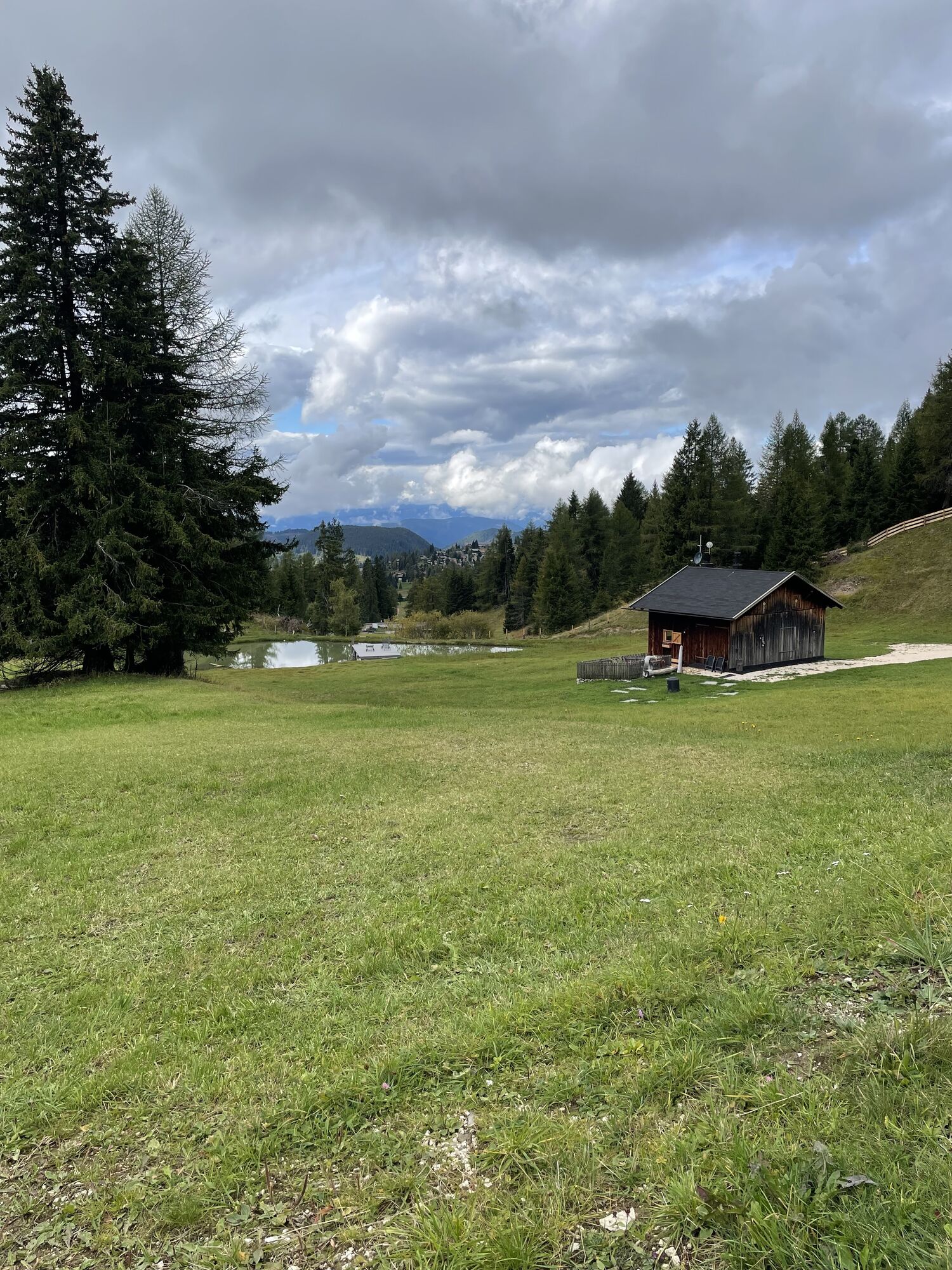
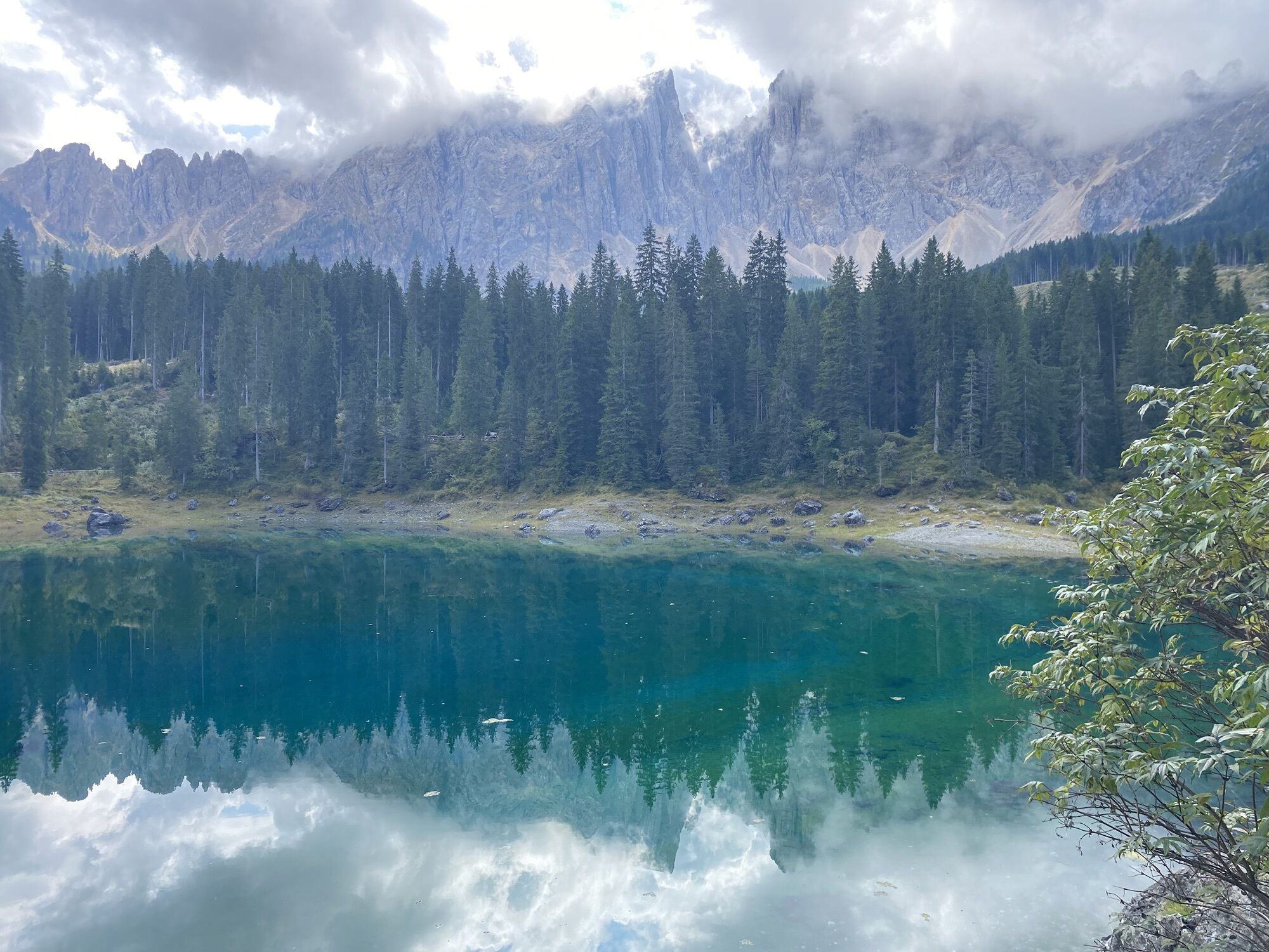
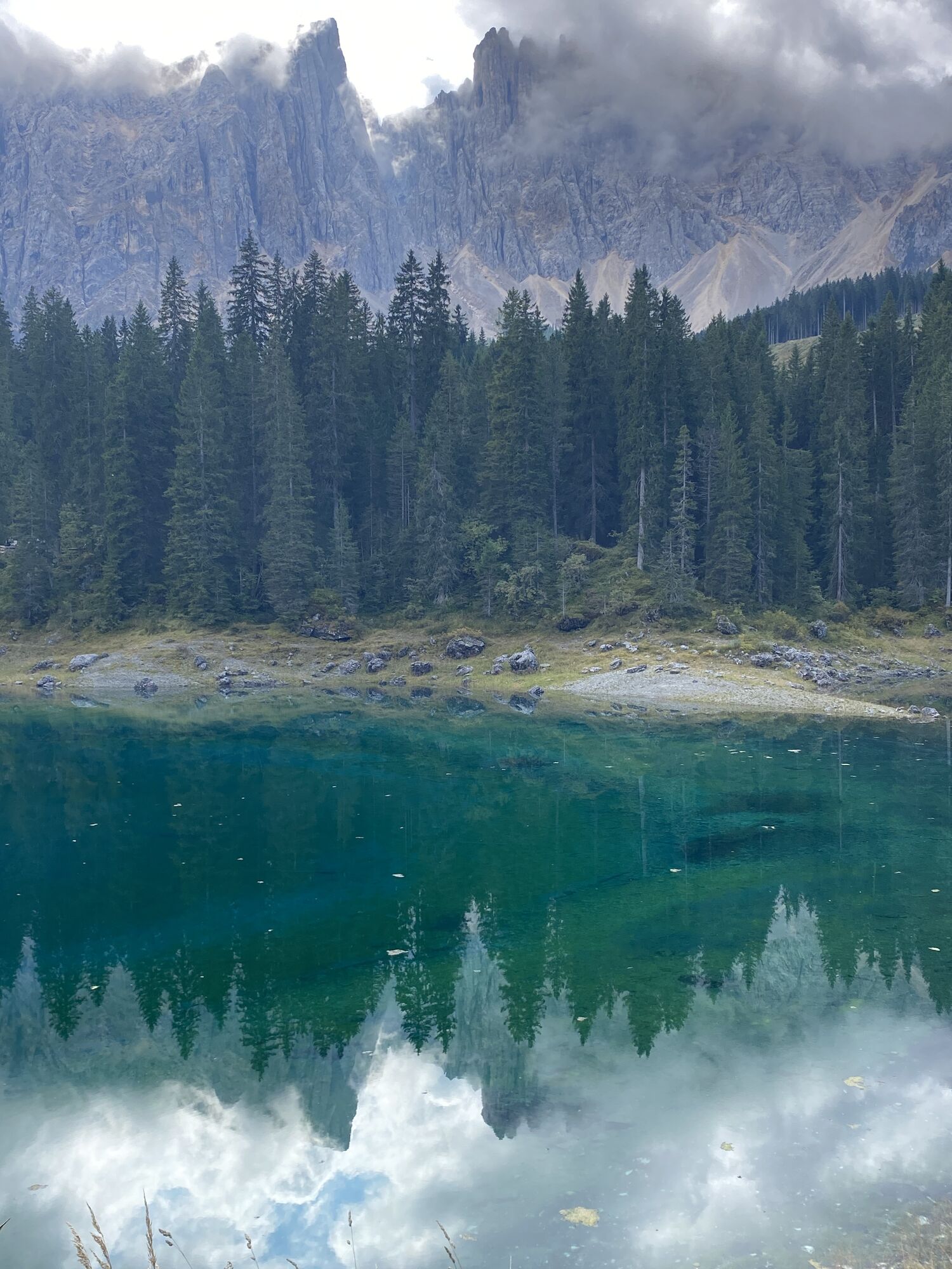
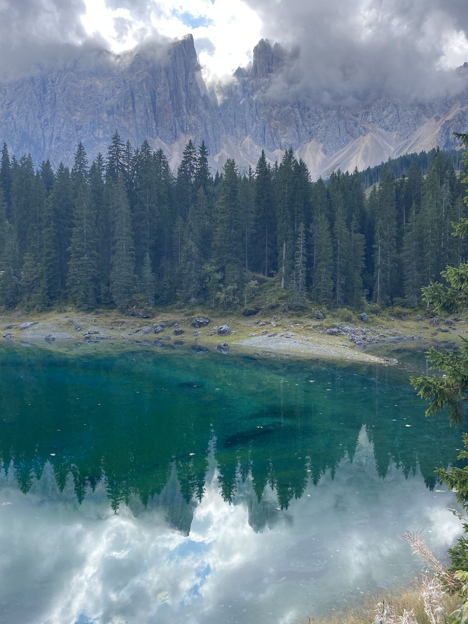
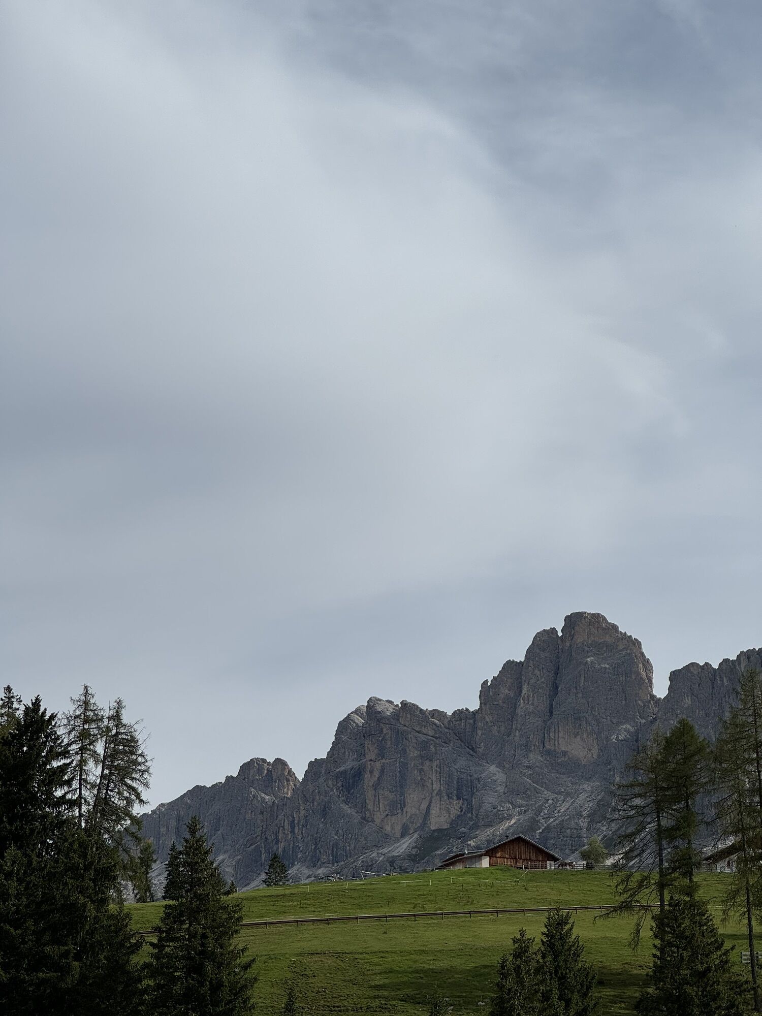
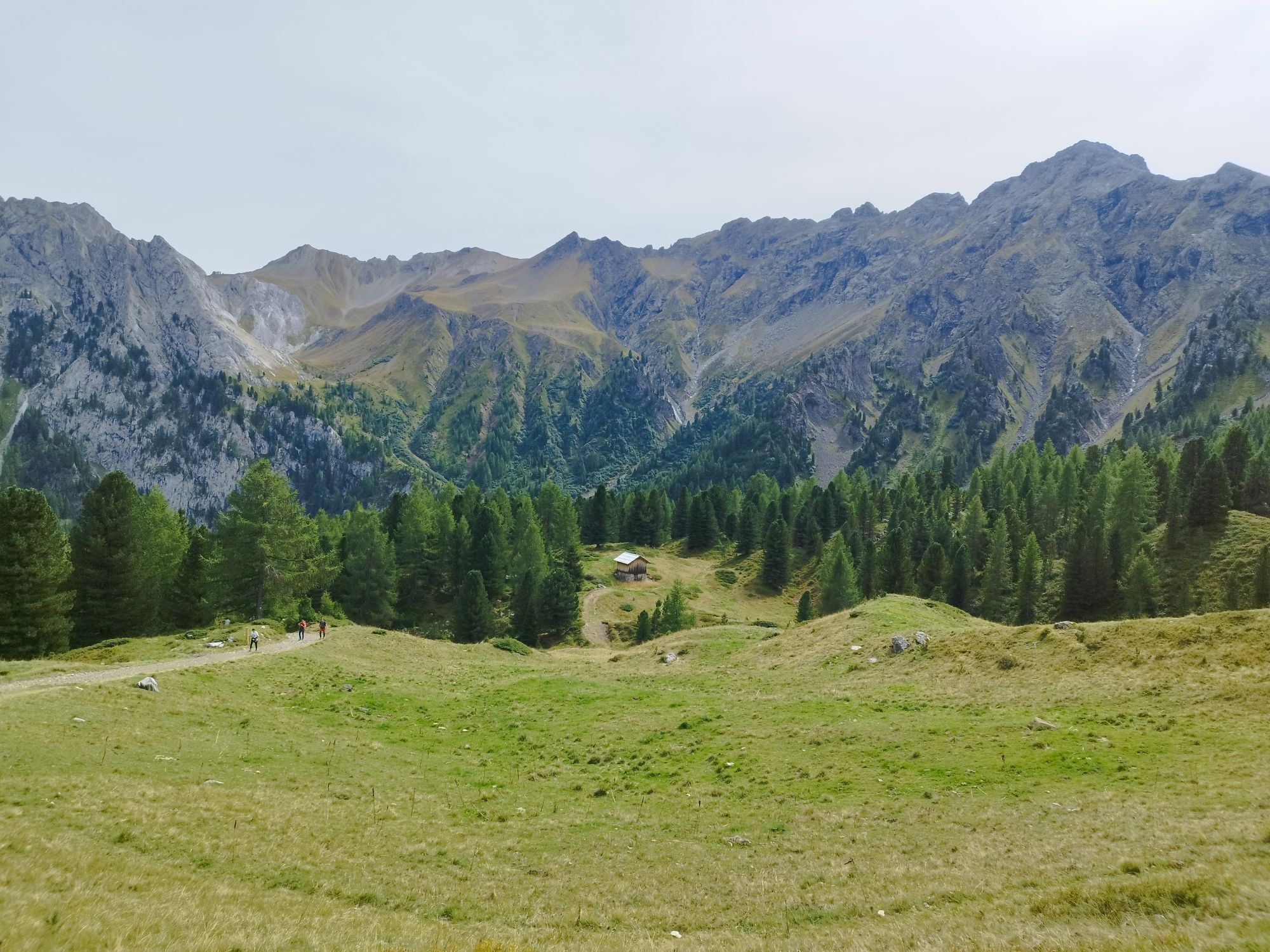
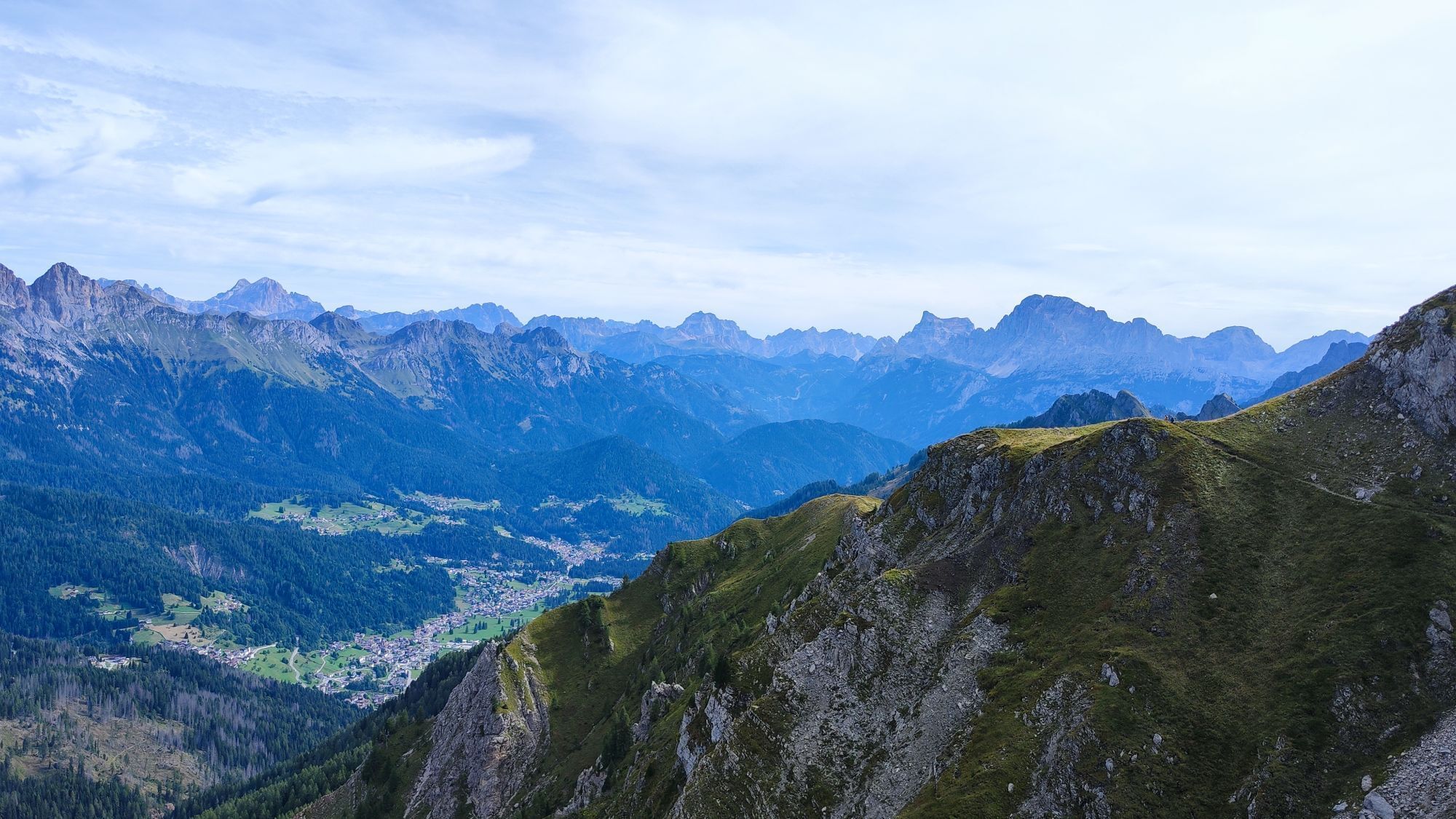
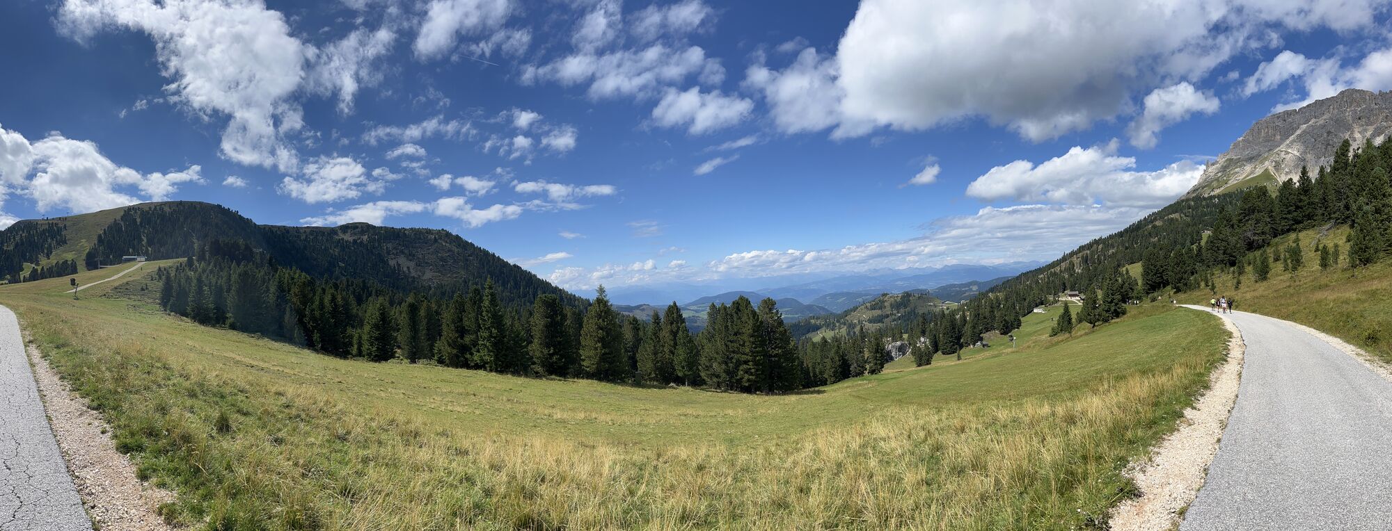

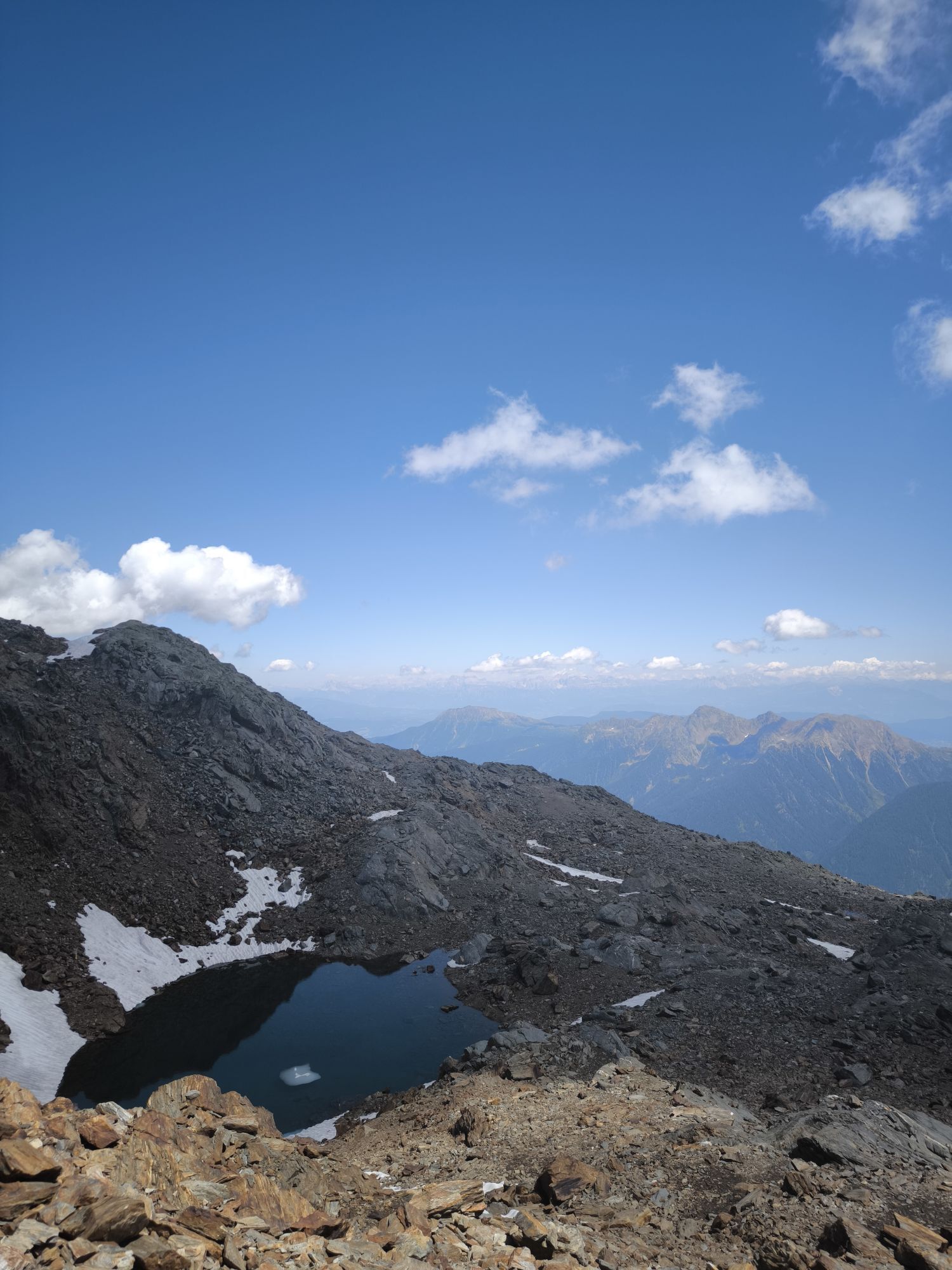
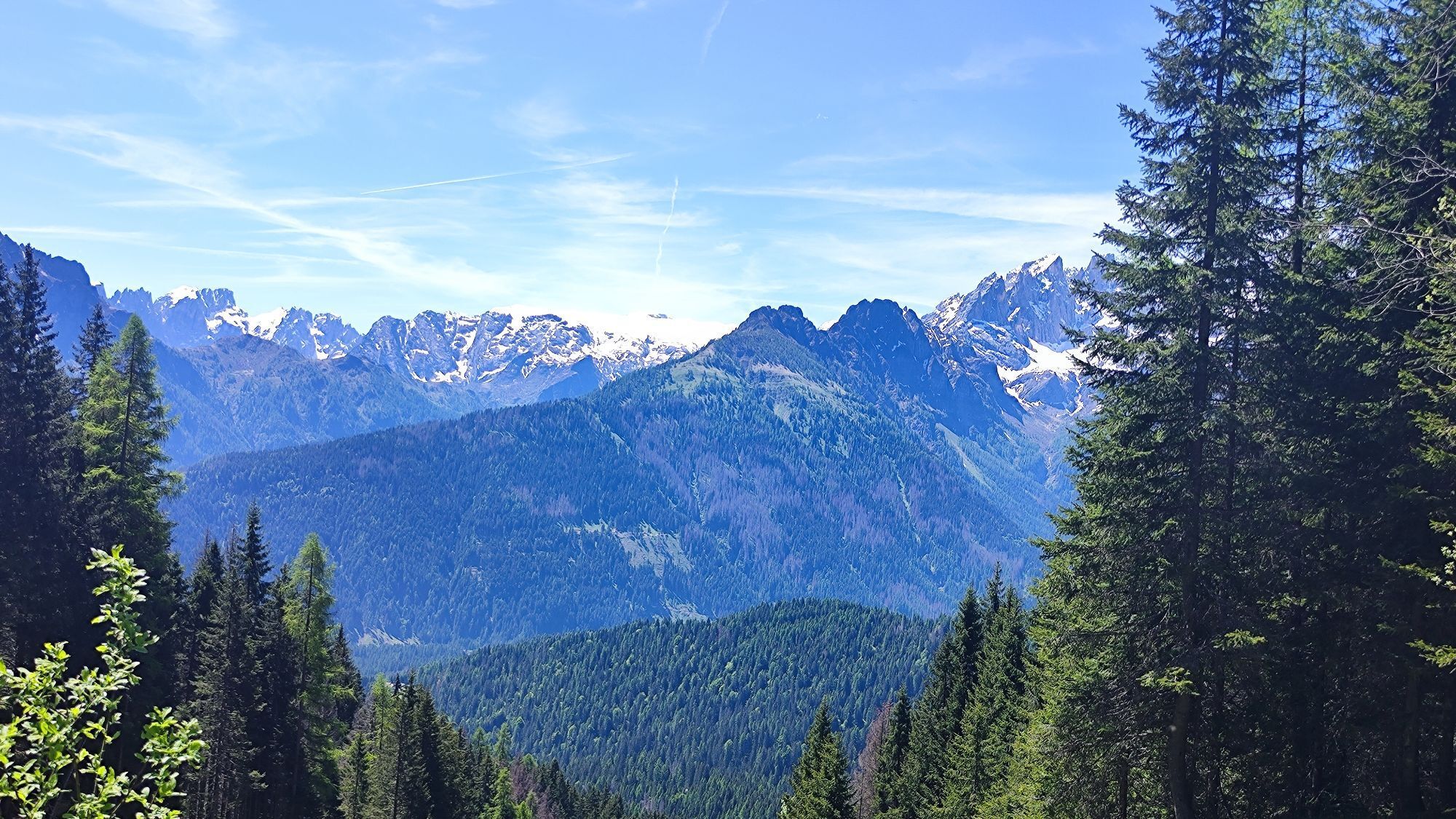
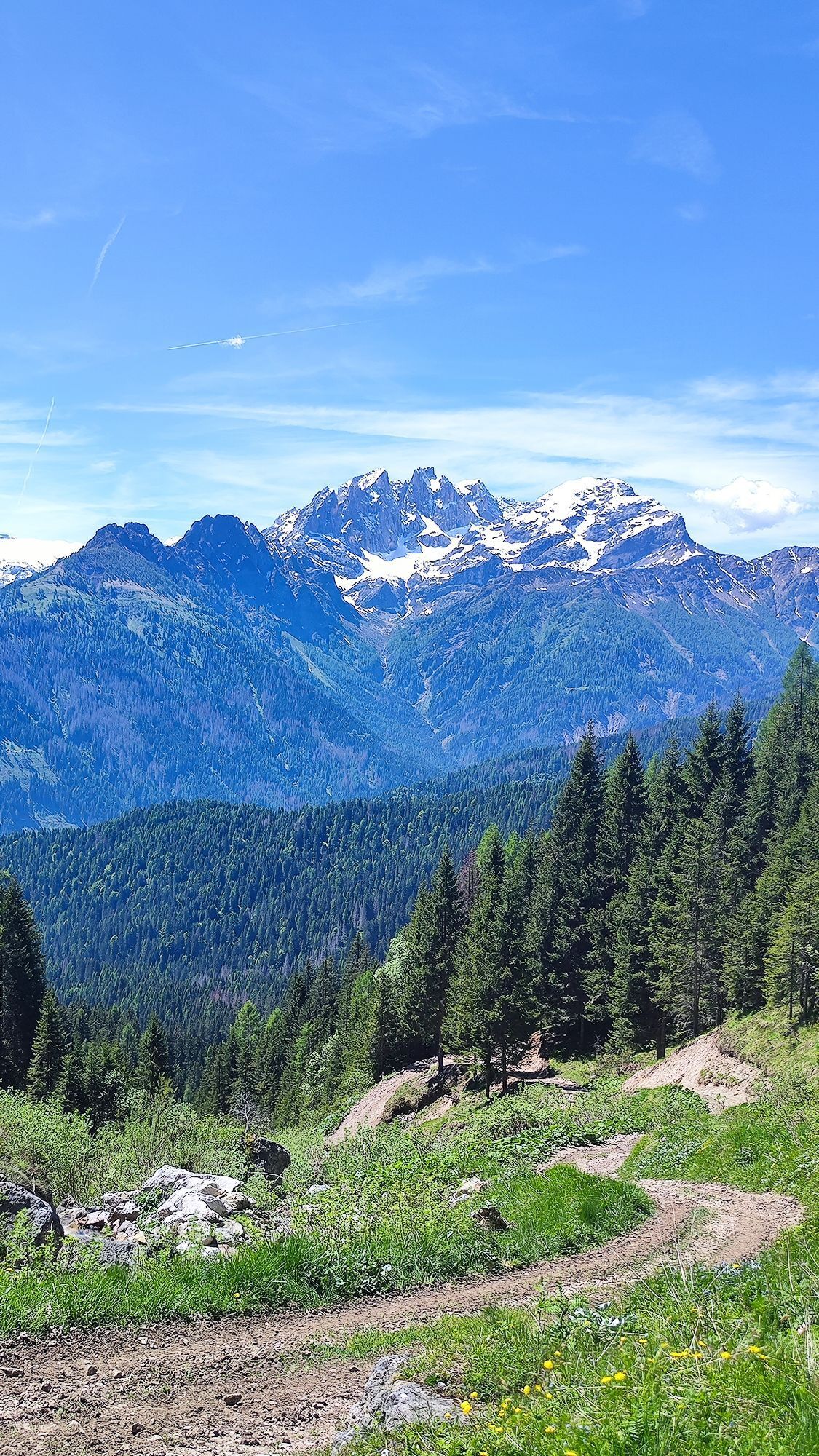
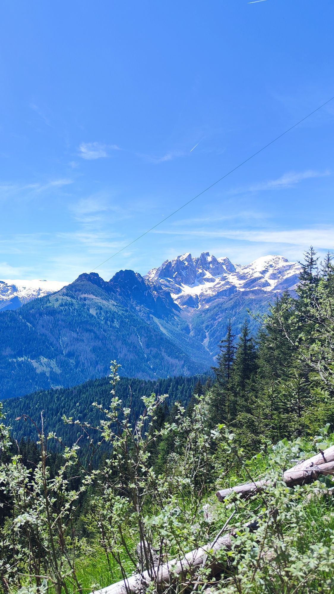
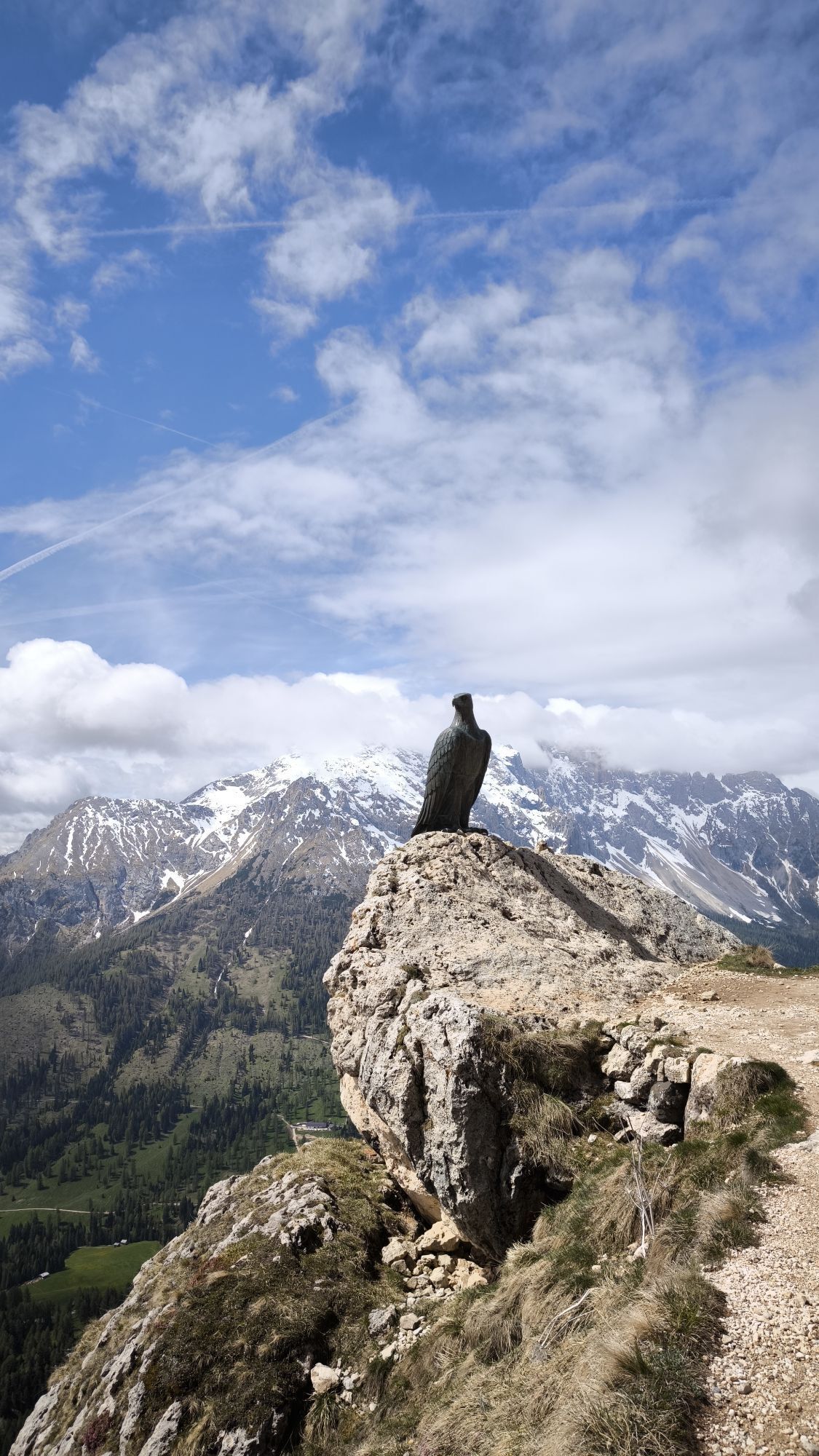

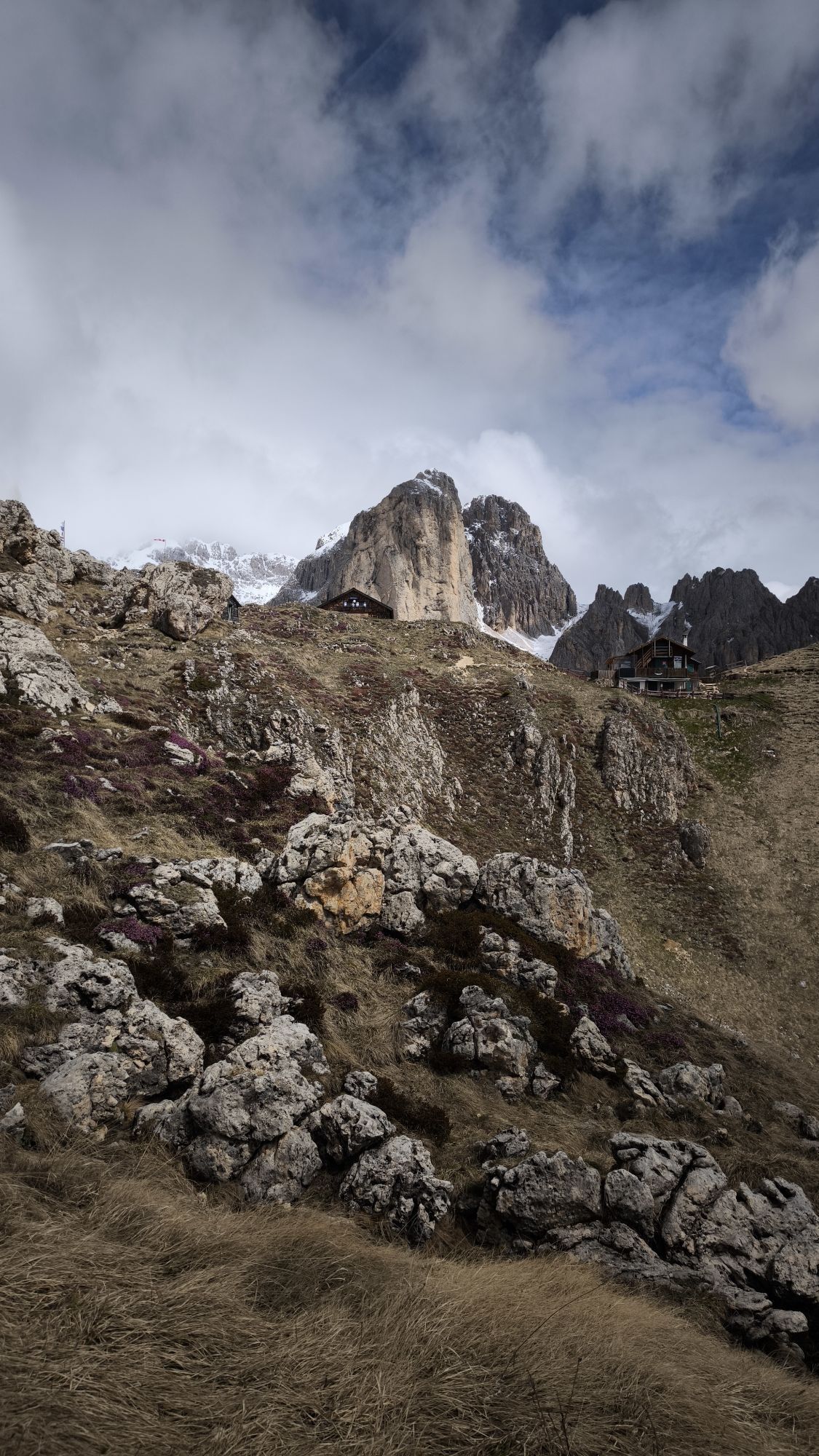
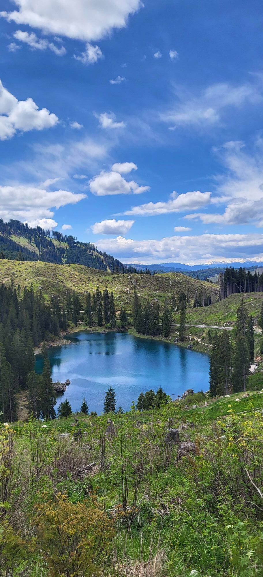

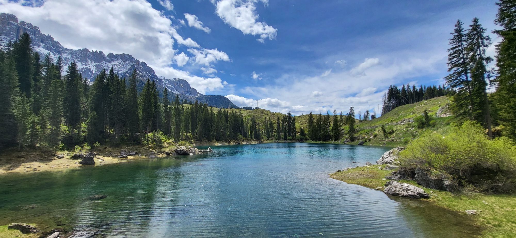
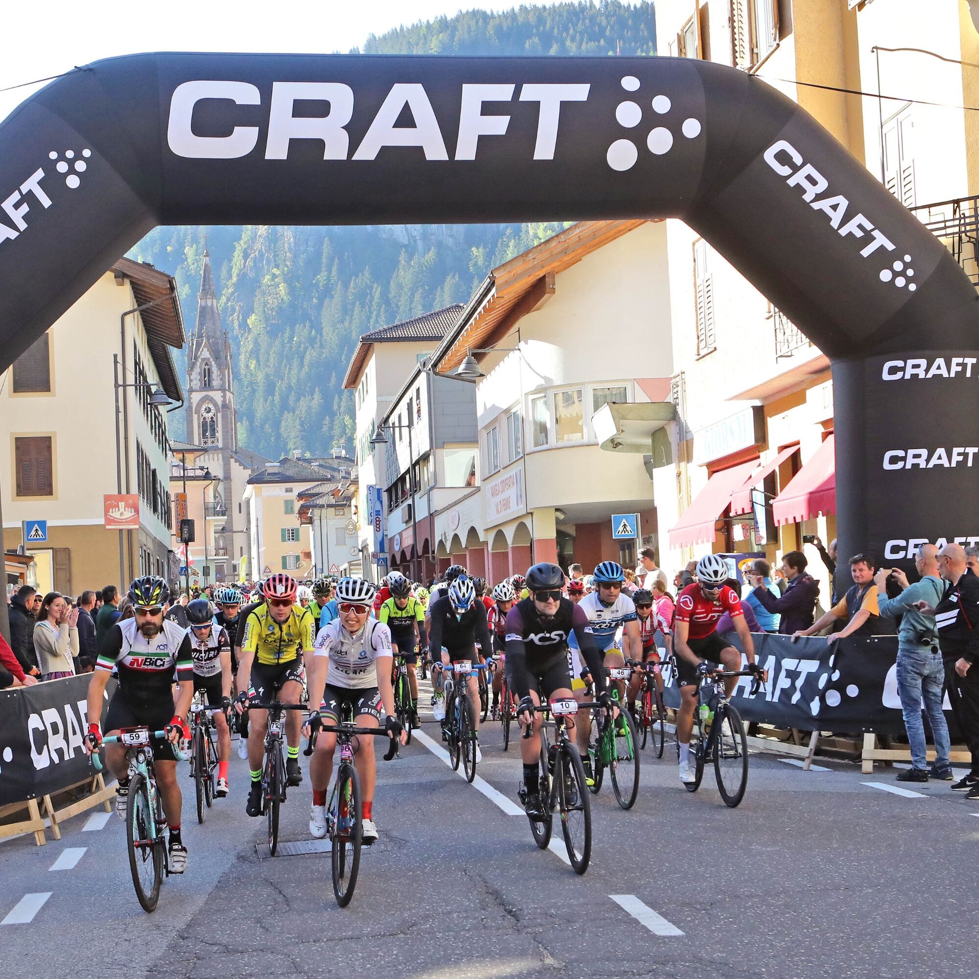
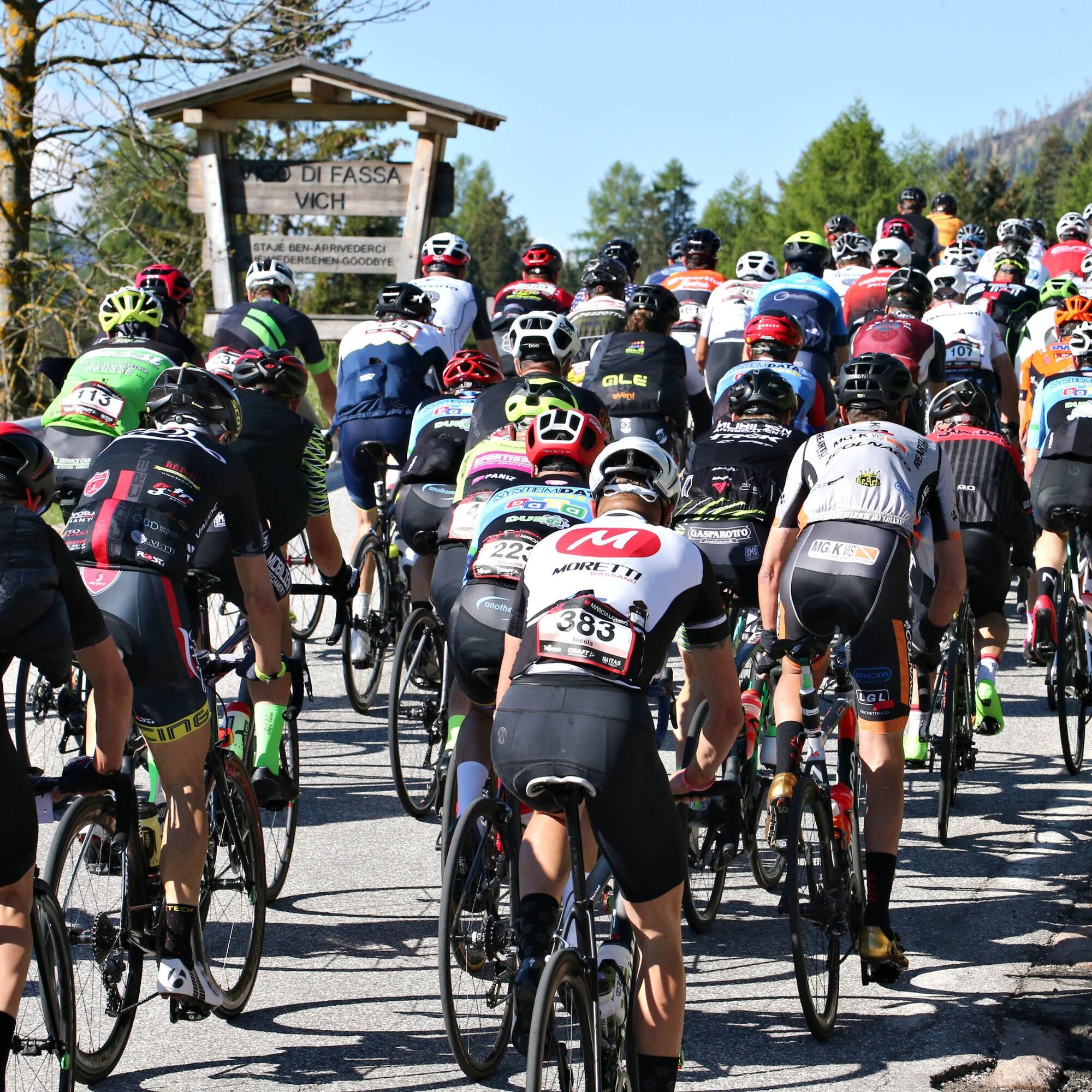
Starting from Moena, pass through the village of Soraga and proceed northwards. In San Giovanni, turn left. Leave behind the settlement of Vigo and its picturesque hamlets (Larcioné, Valongia, Tamion),...
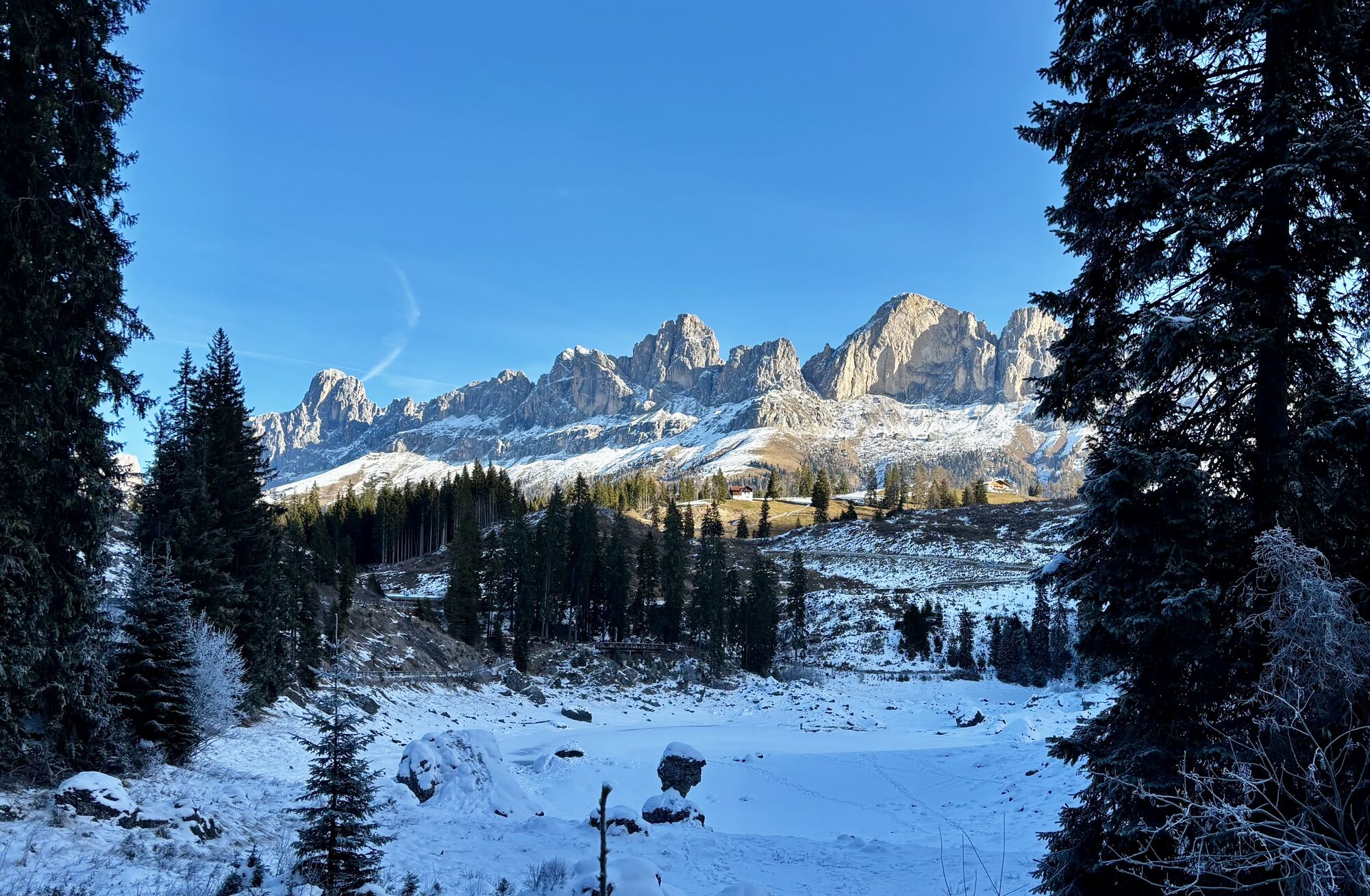
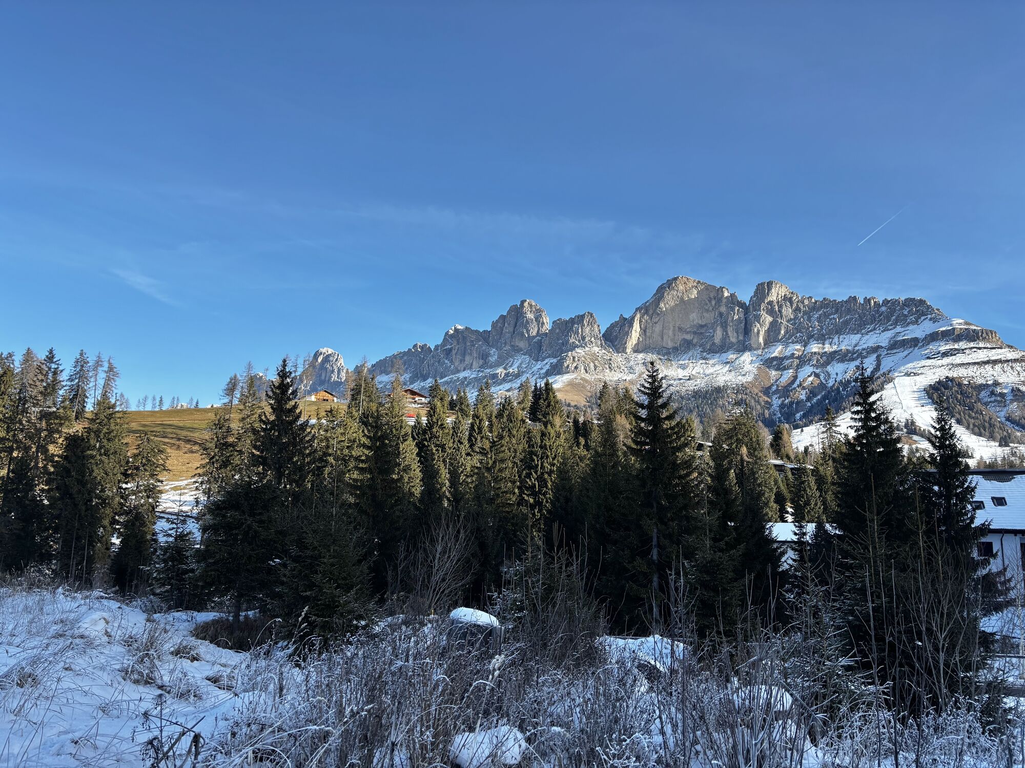
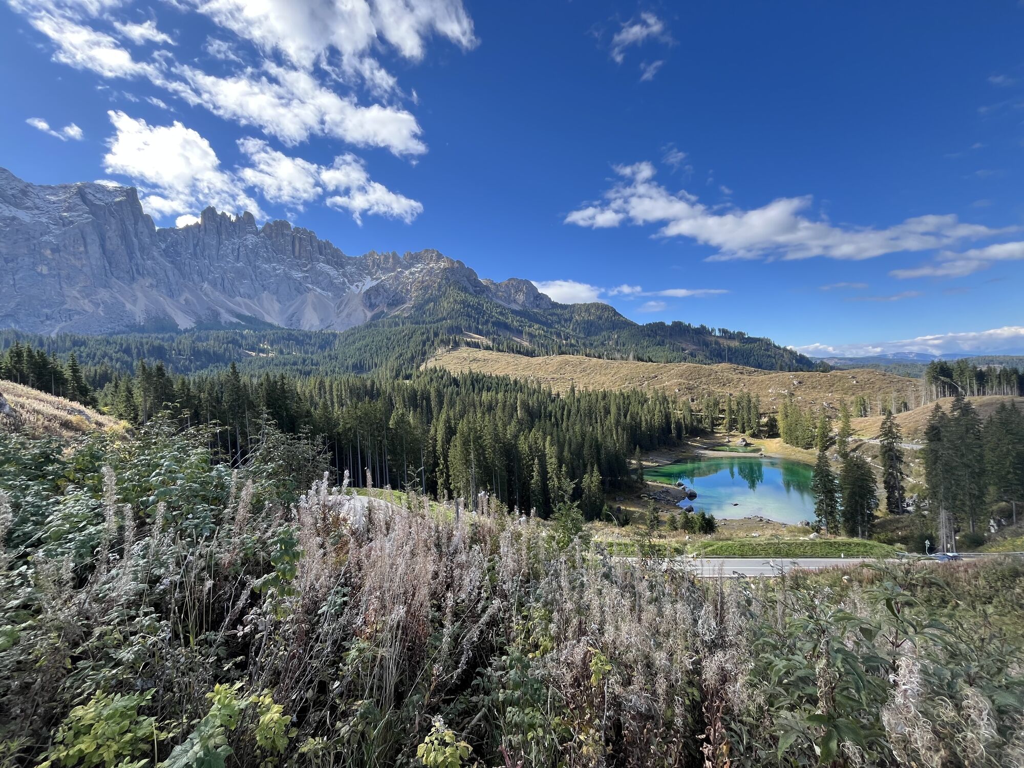
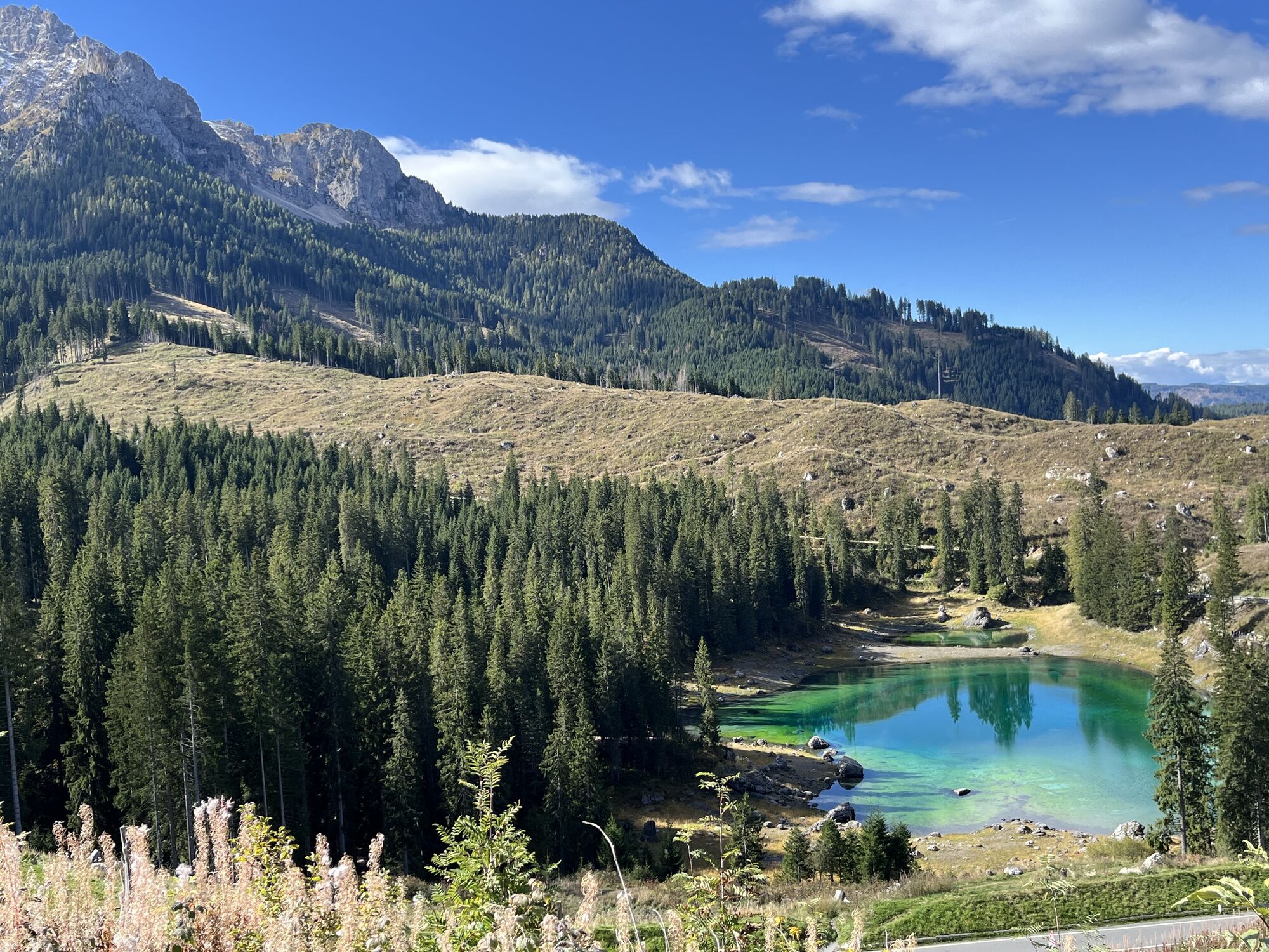
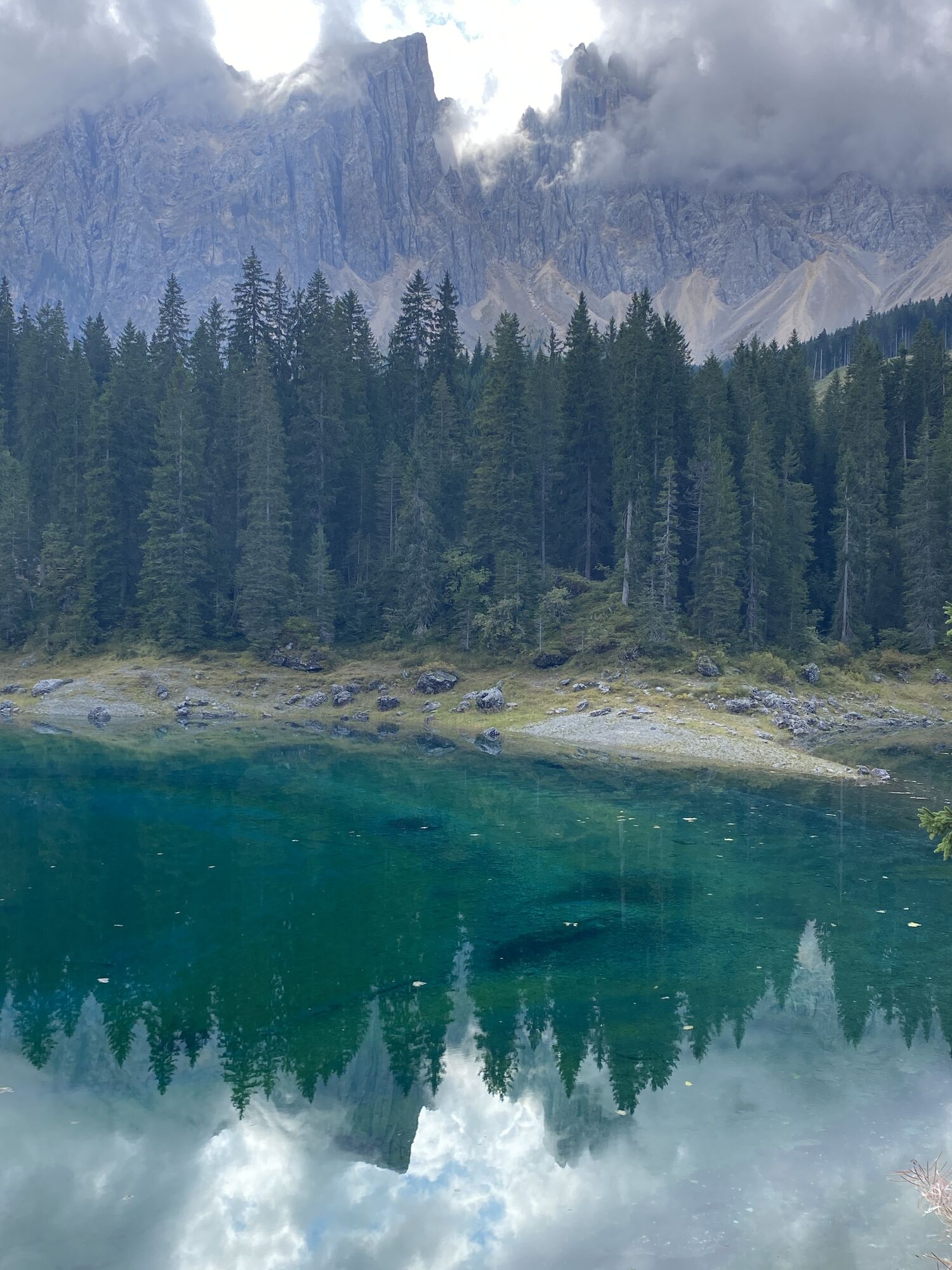
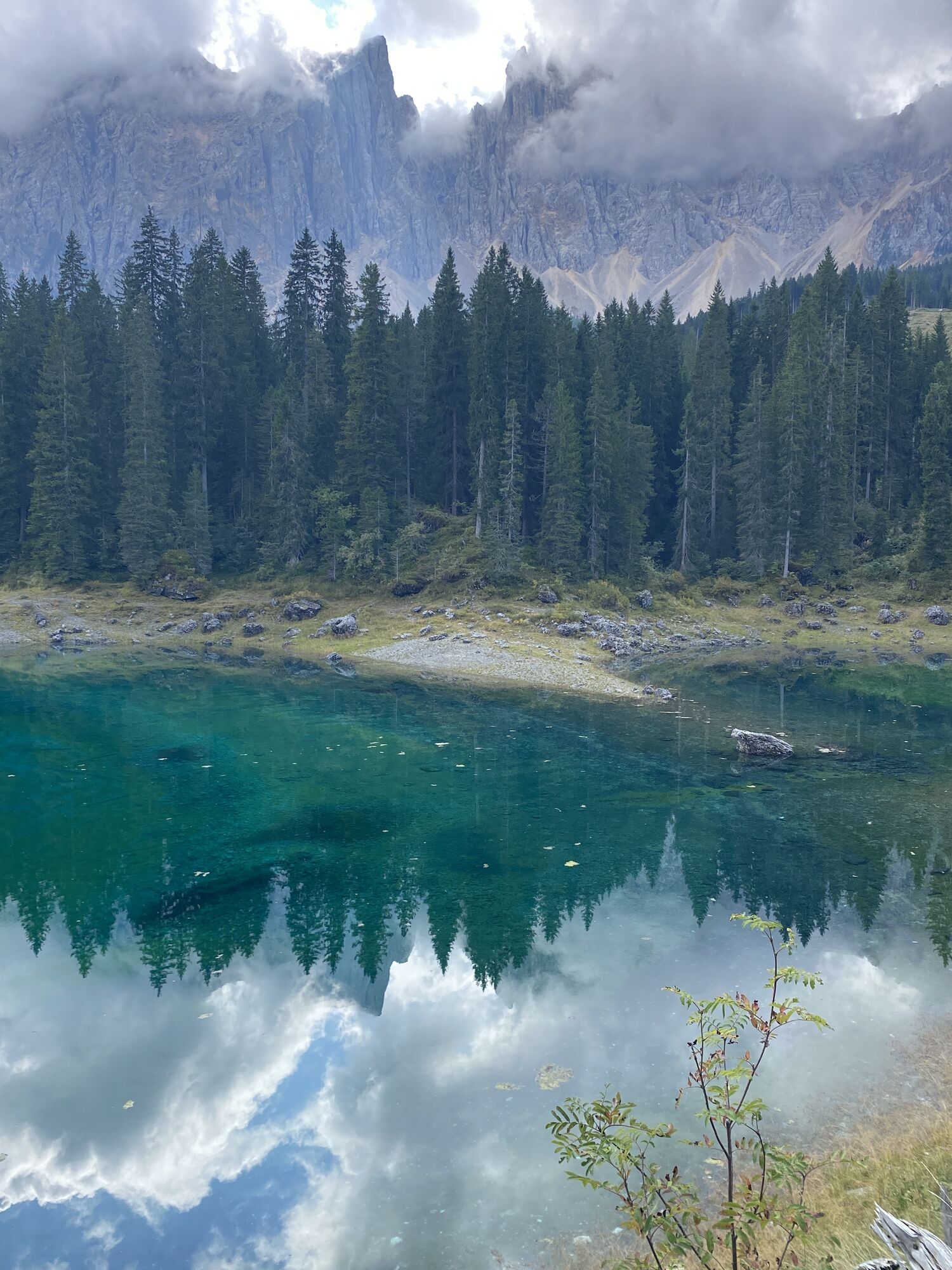
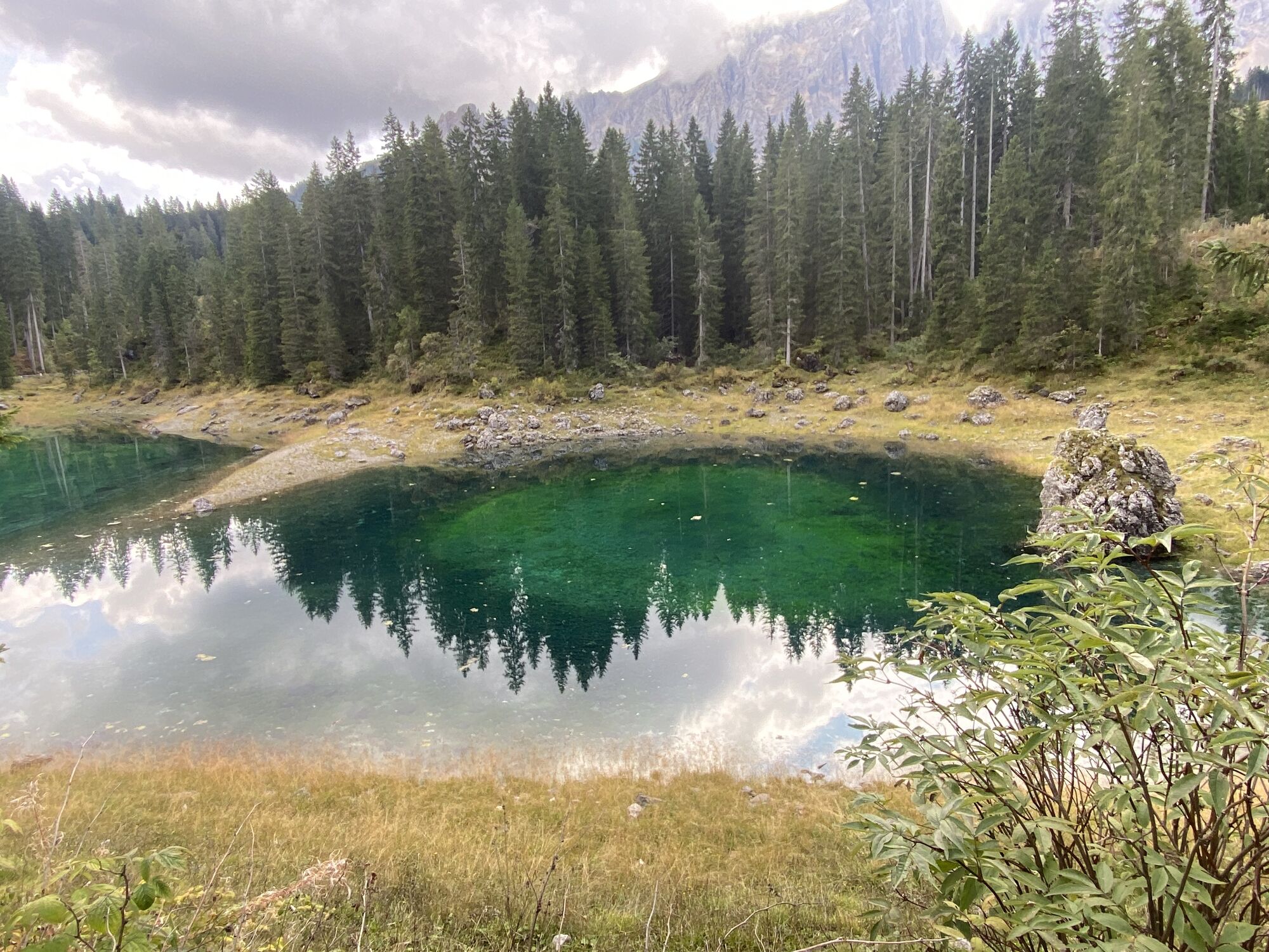
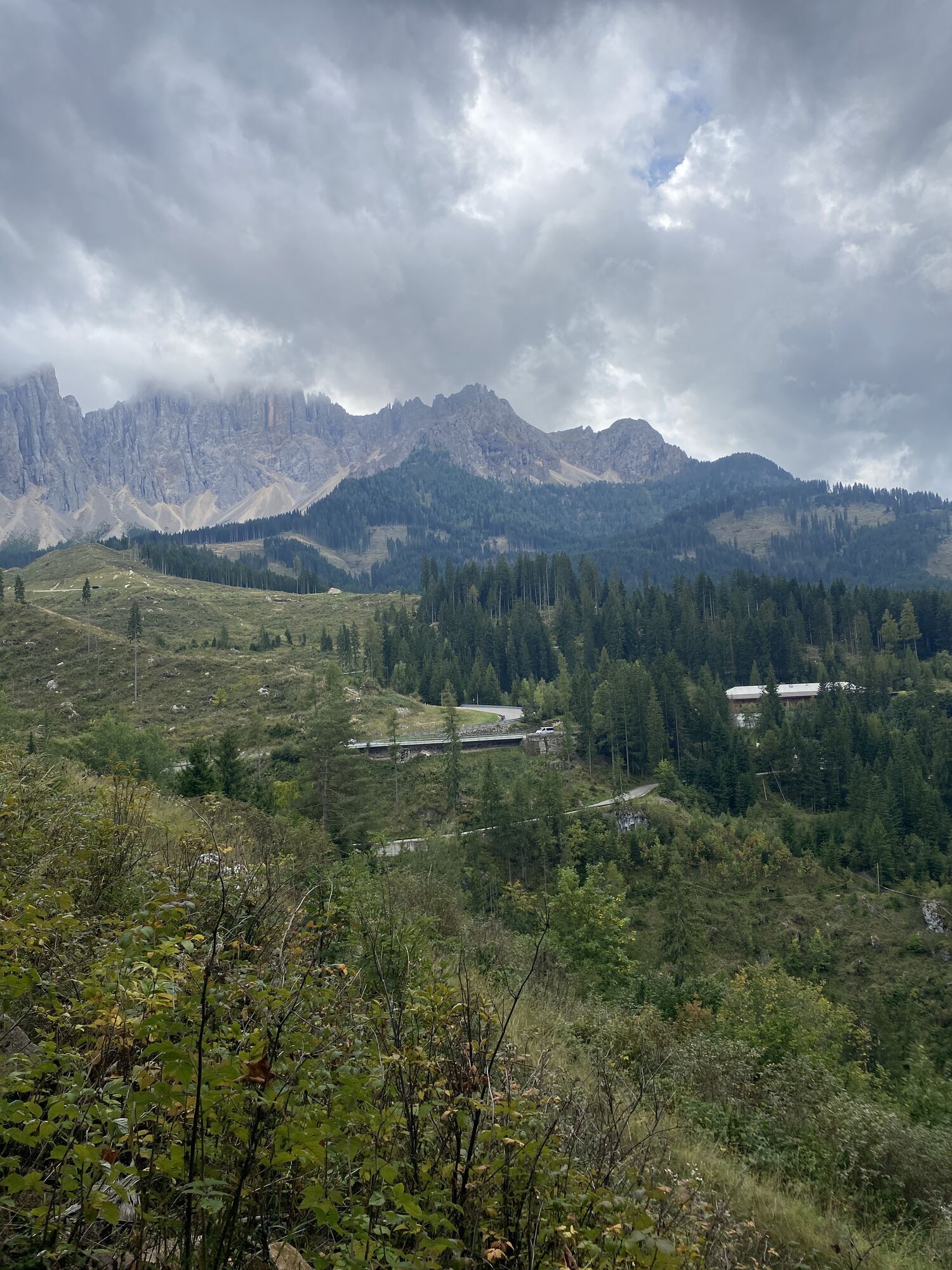
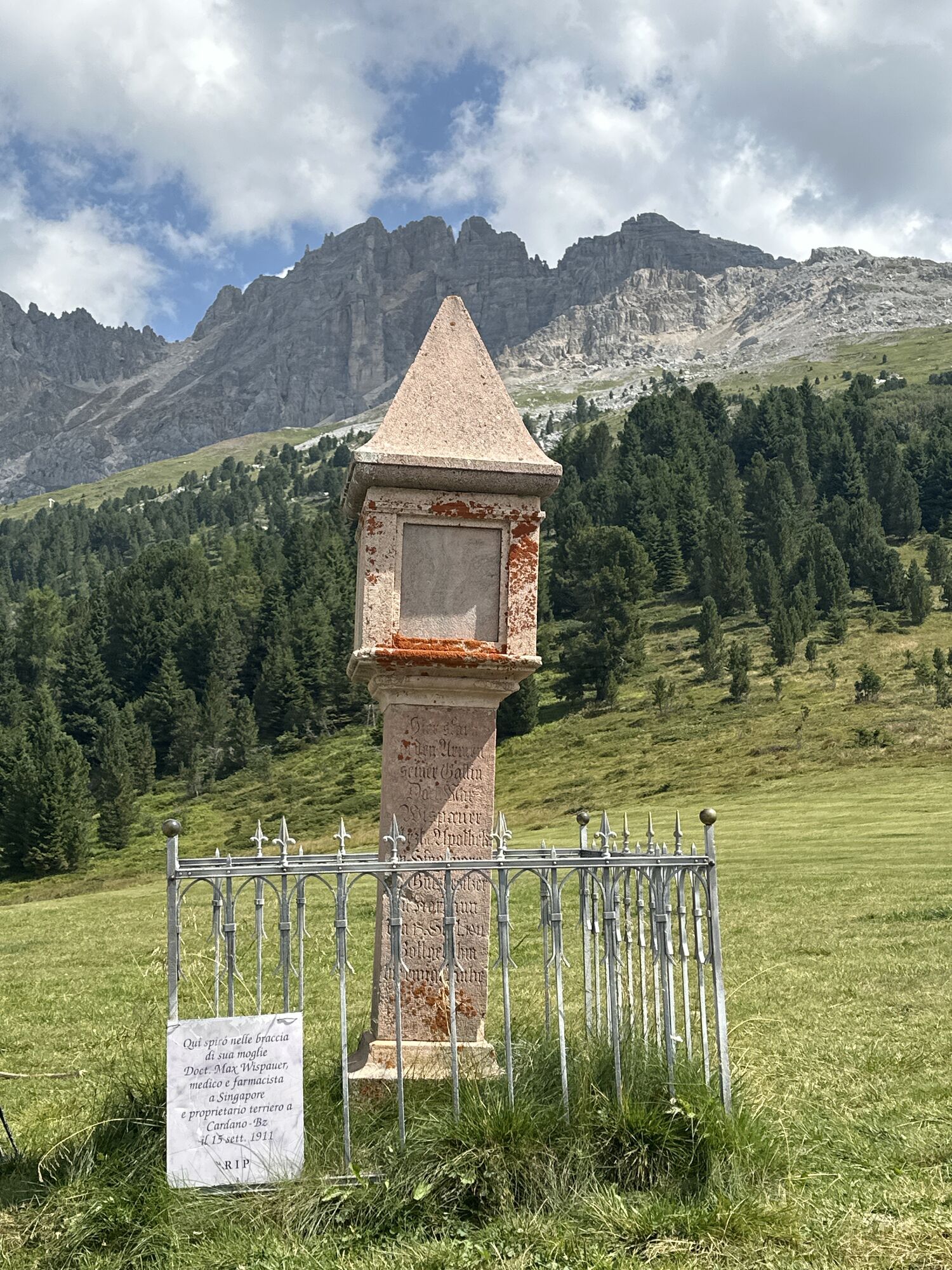
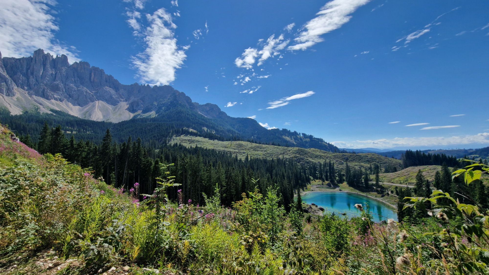
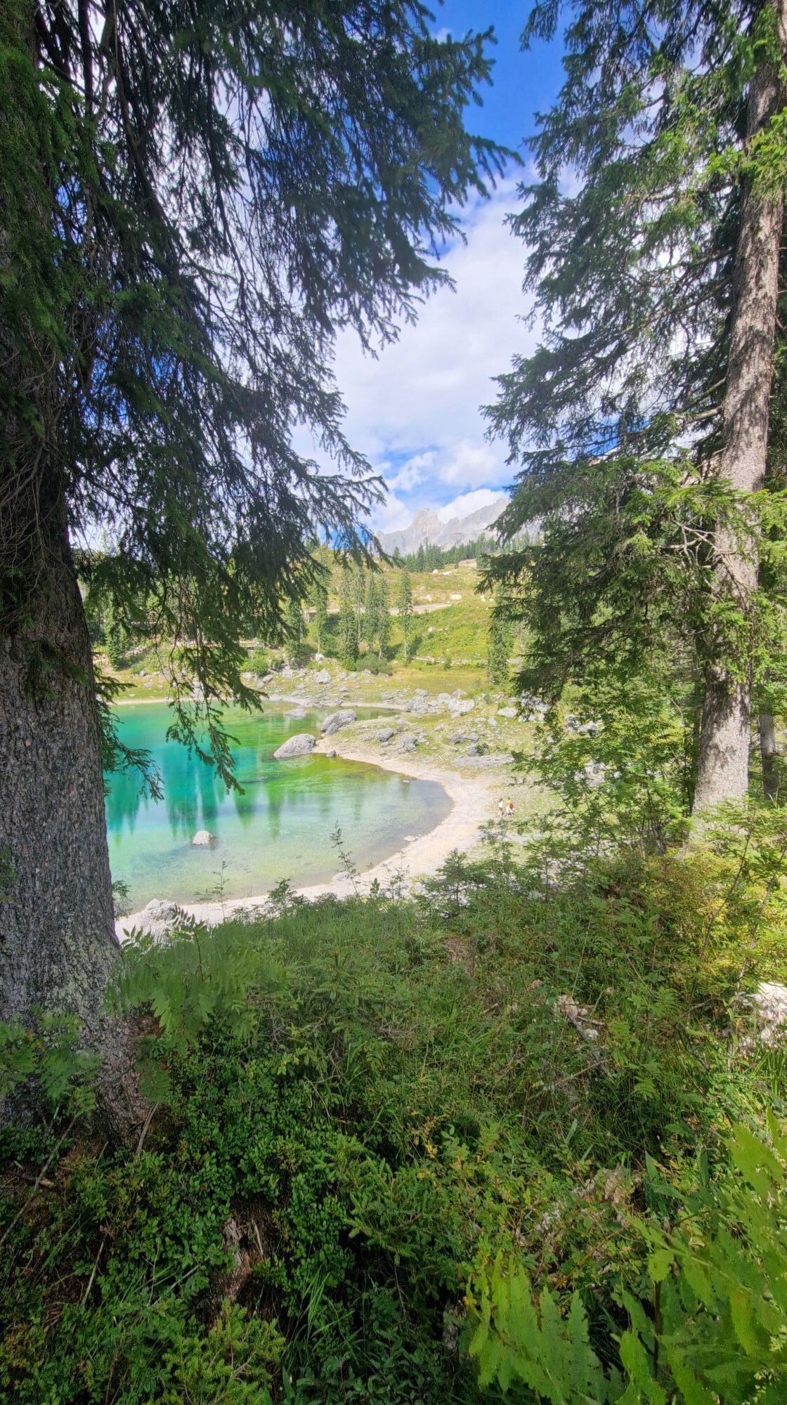
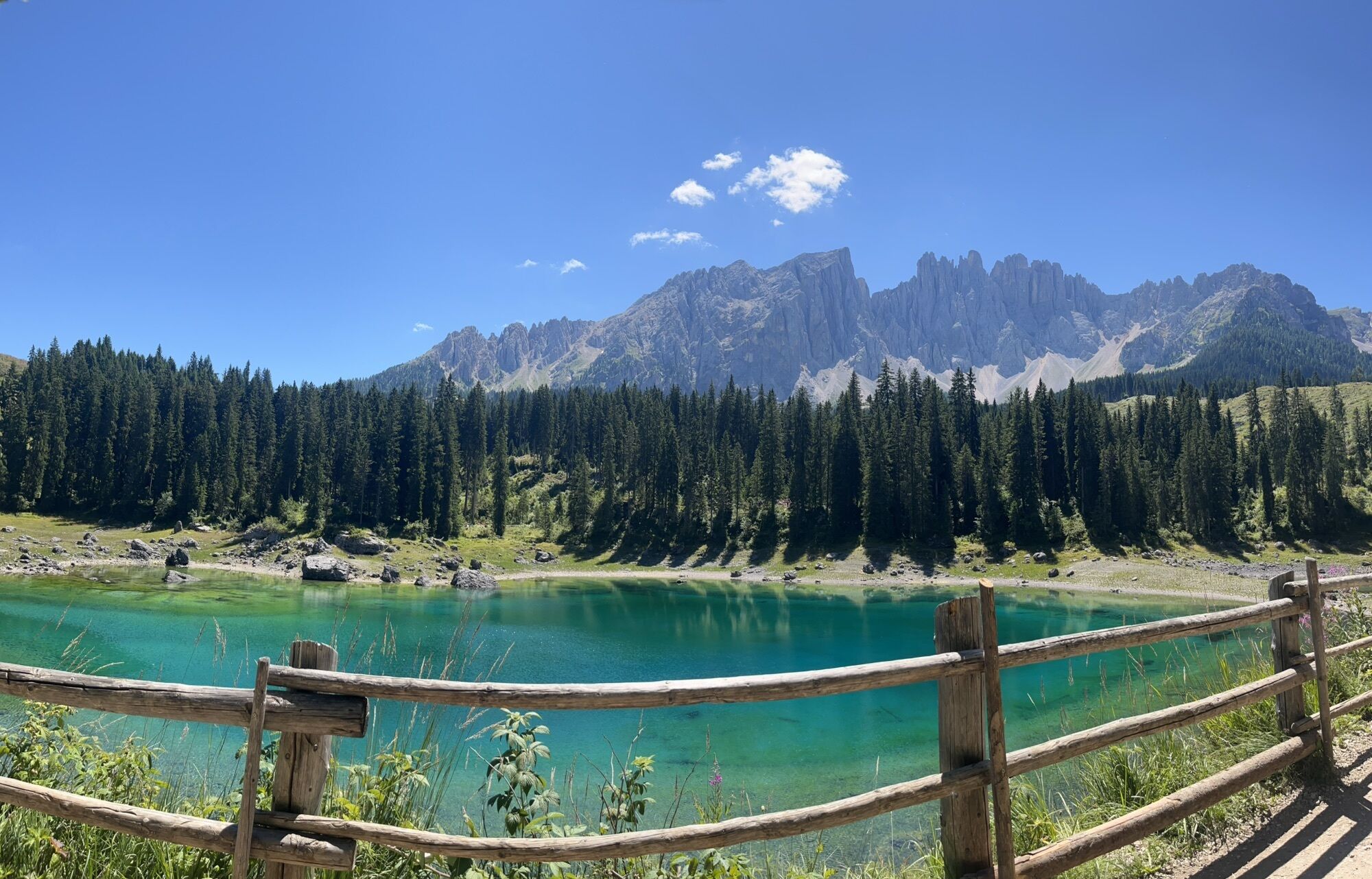
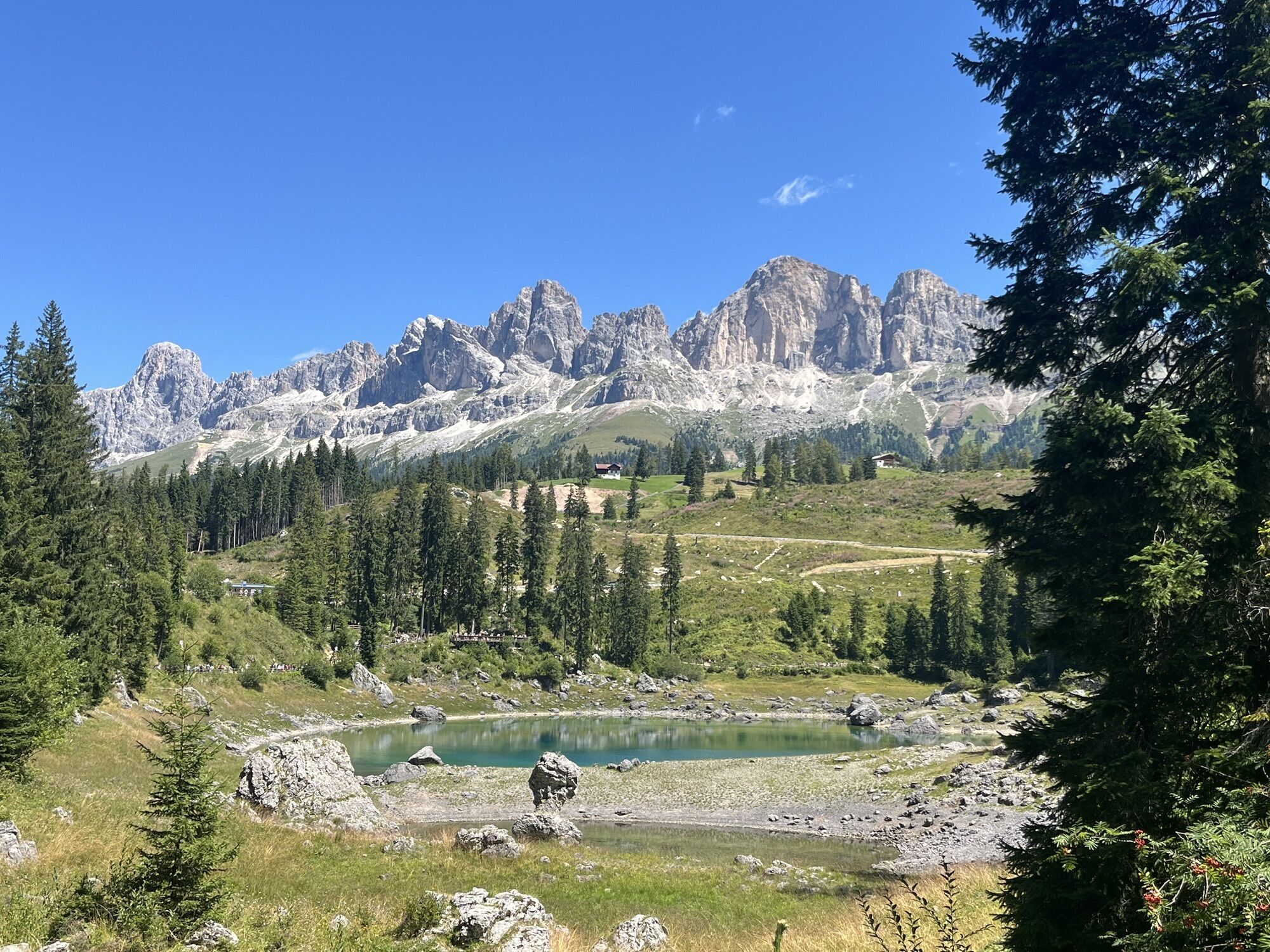
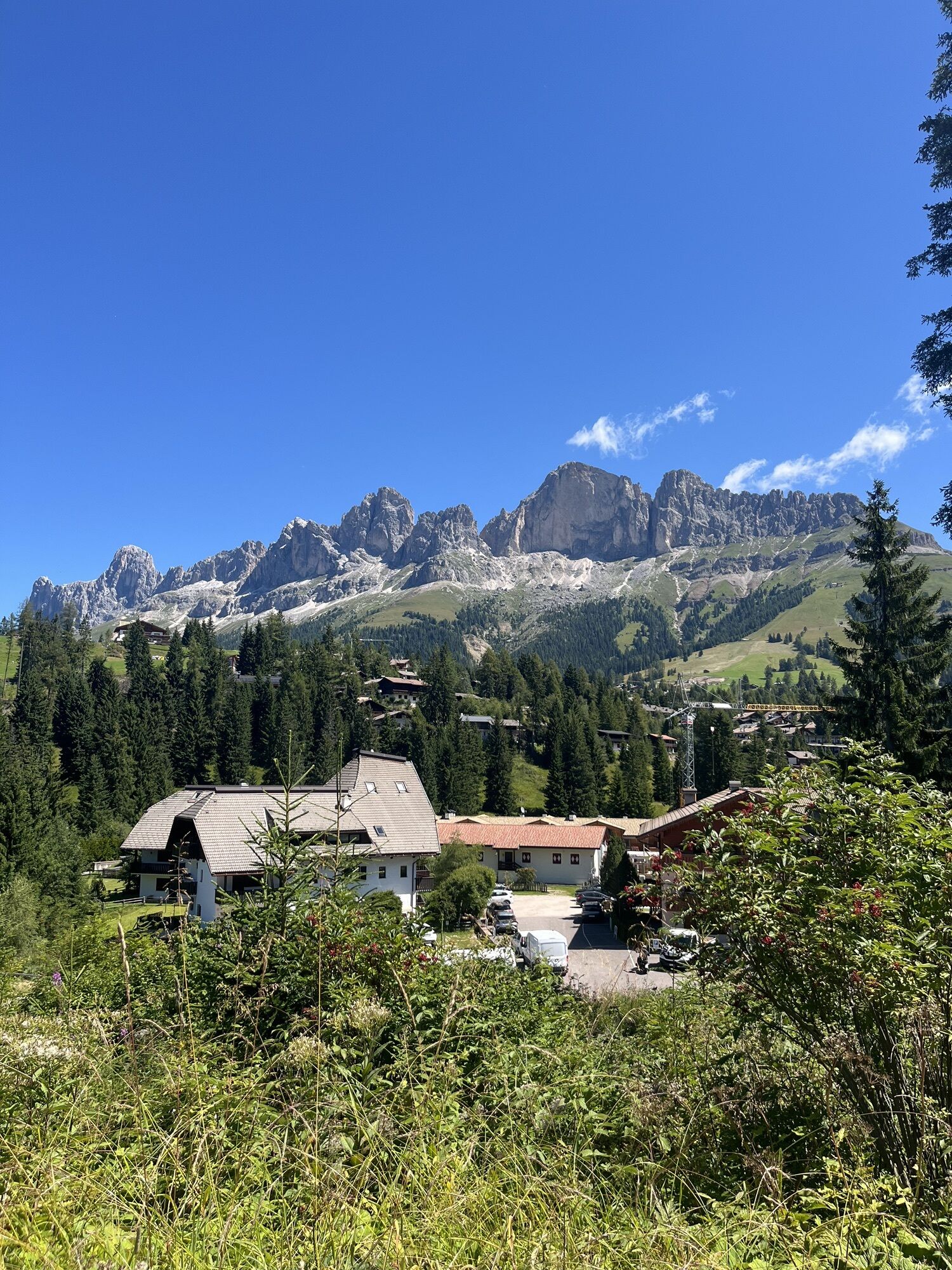
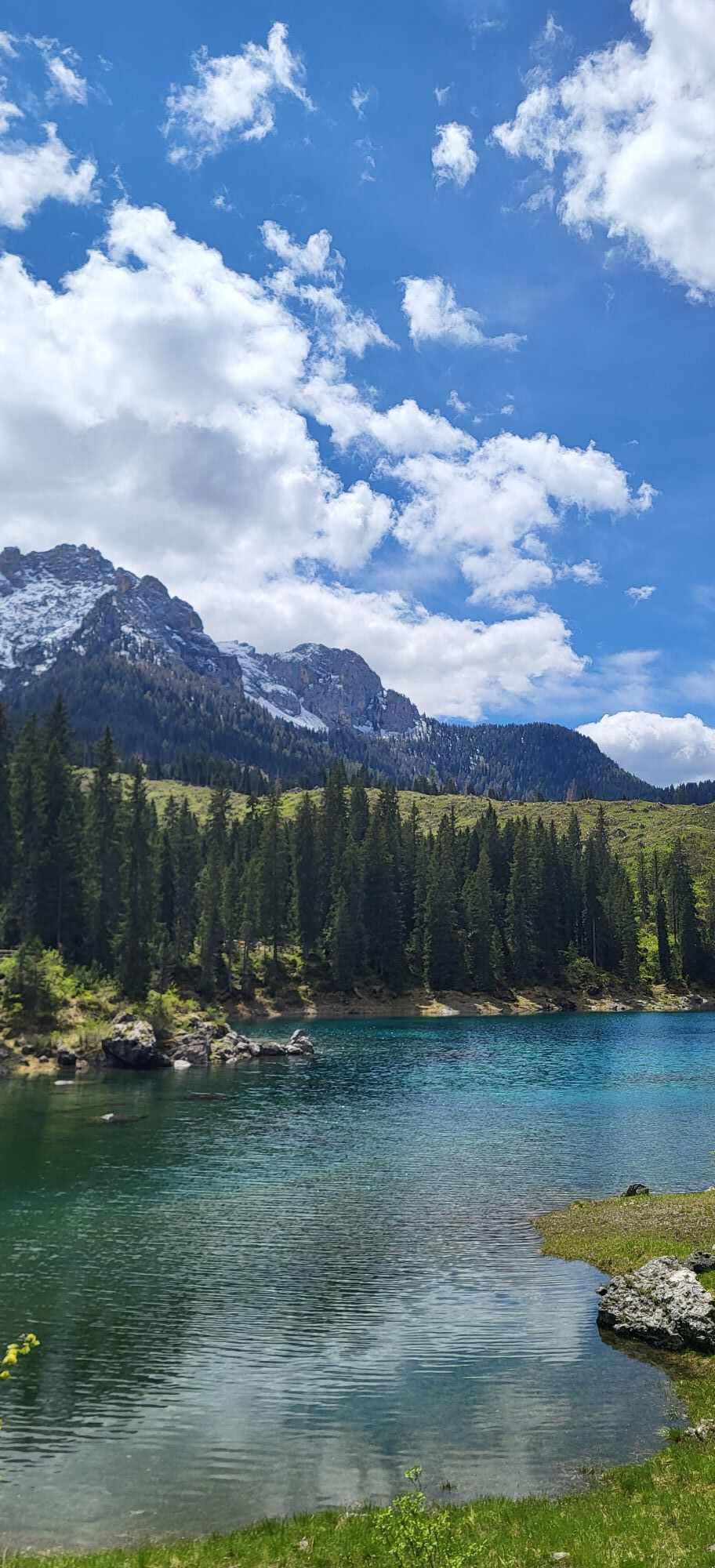
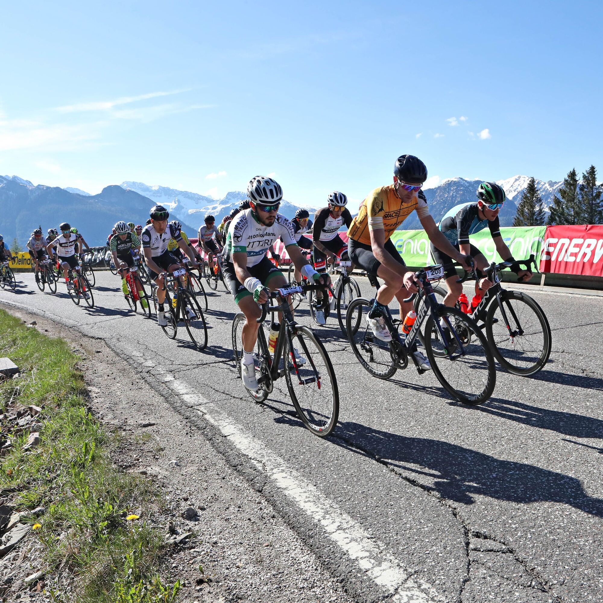
Starting from Moena, pass through the village of Soraga and proceed northwards. In San Giovanni, turn left. Leave behind the settlement of Vigo and its picturesque hamlets (Larcioné, Valongia, Tamion), to face the ascent to Costalunga Pass (9 km, average gradient 4,4%, maximum gradient 10%, elevation gain 450 m). Cycle alongside the renowned lake of Carezza and then continue downhill ‘till the crossroads of Ponte Nova, passing through Nova Levante and San Valentino in Campo. From Bolzano’s side, face the legendary climb to Pampeago Pass (S.S. 620), several times stage and frame of Giro d’Italia and popular destination for great riders (13,9 km, elevation gain 1.099 m, average gradient 7,6%, maximum gradient 14,5%). The fast and technical descent allows to reach Tesero (S.P. 215), from where you return to Predazzo. Leave again heading towards Moena and immediately start the ascent along the state road 346 (S.S. 346) to San Pellegrino Pass, reachable in about 13 km, dealing with 790 m of elevation gain with average gradients of 6,2% and stretches up to 14%. Proceed downhill towards Falcade. At the junction to Valles Pass (S.P. 81), regain altitude with strong and constant gradients that let you take a breath only in the final part (7 km, average gradient 8,6%, maximum gradient 16,1%, elevation gain 609 m). The last 23 km to Predazzo, with 1.000 m of elevation loss, are all downhill.

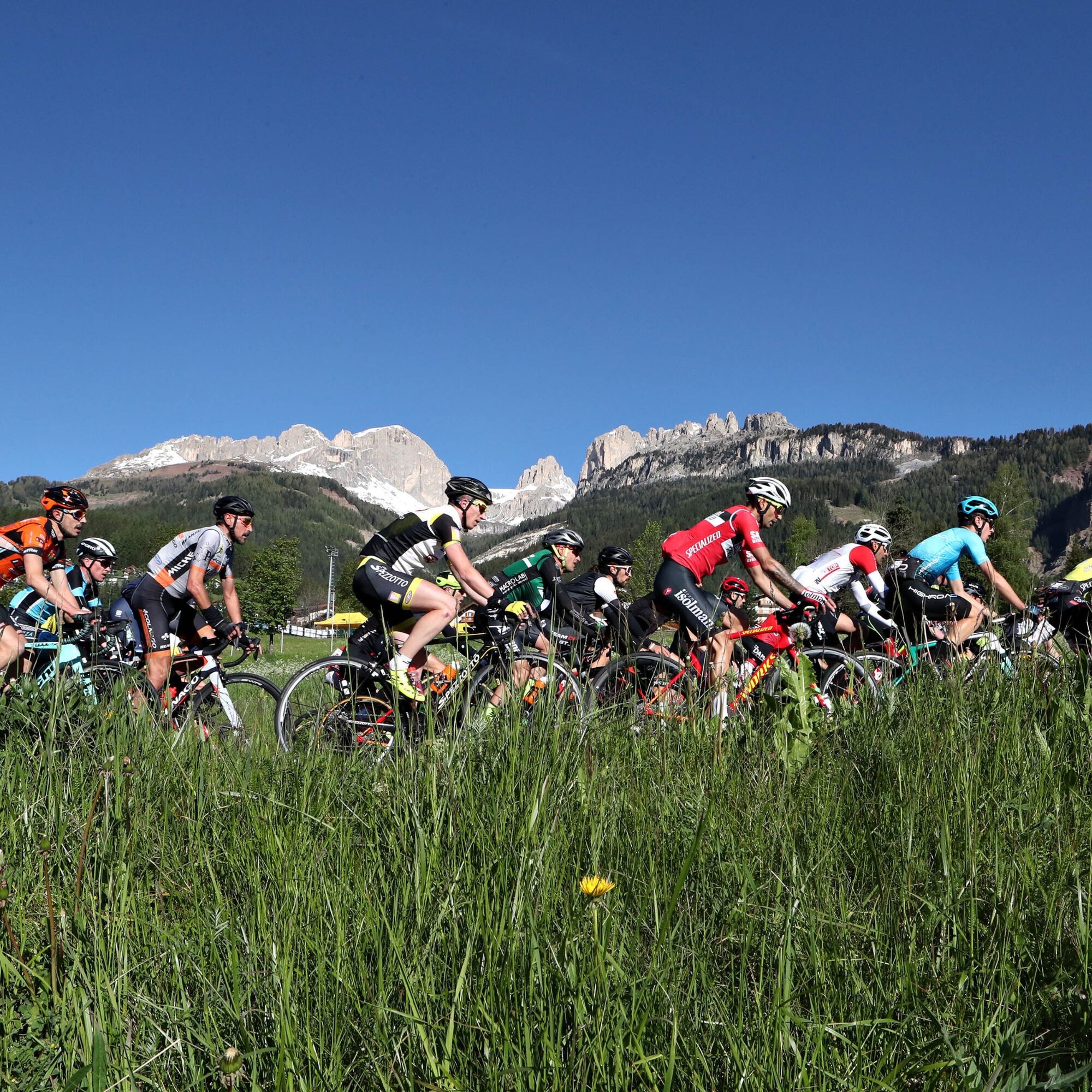
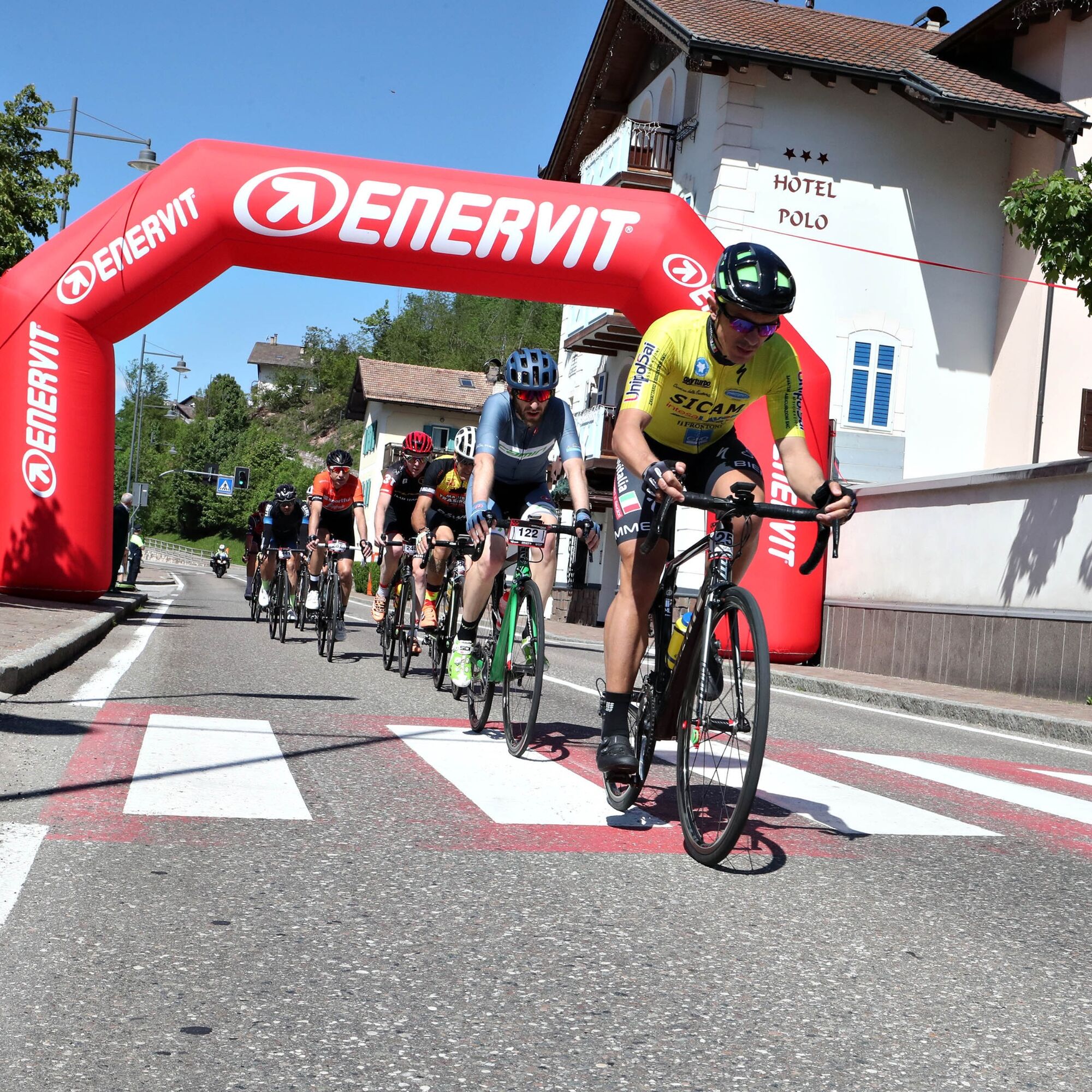
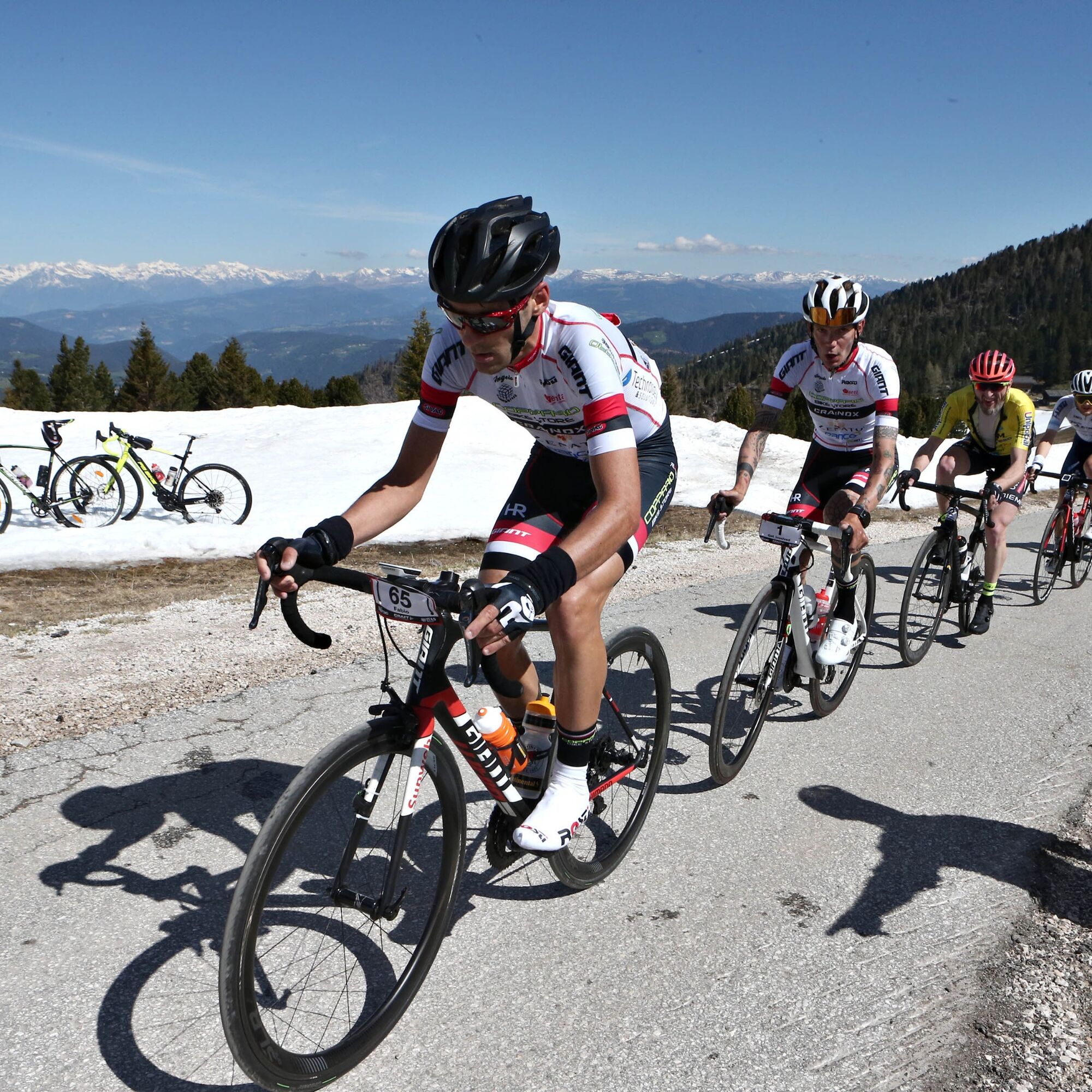
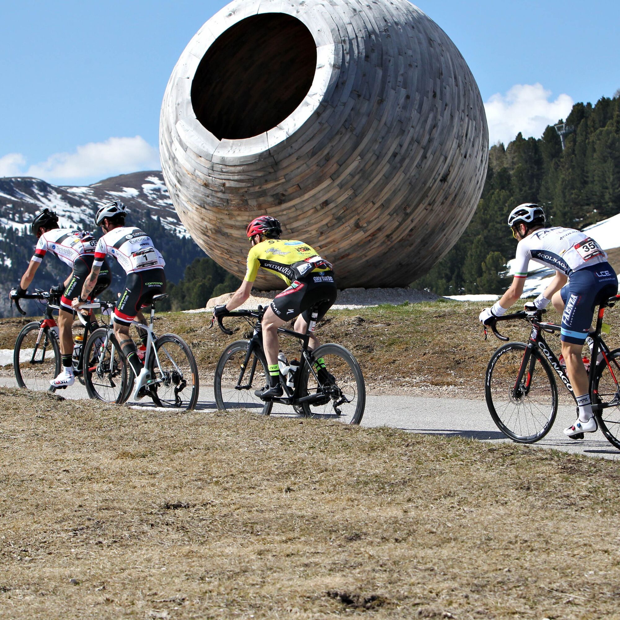
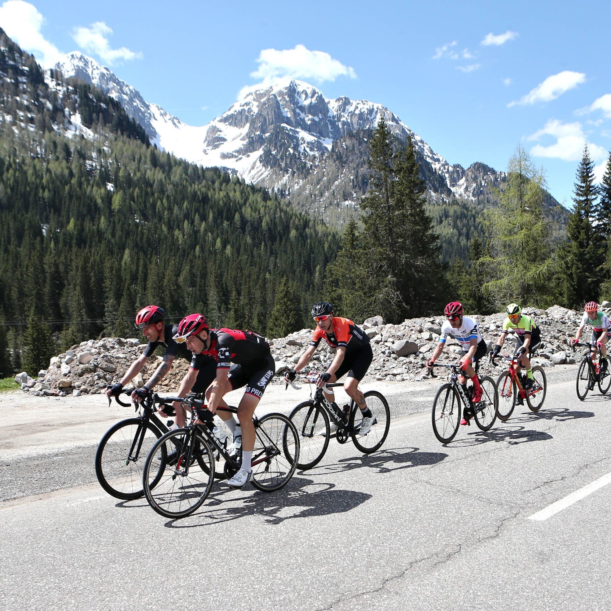
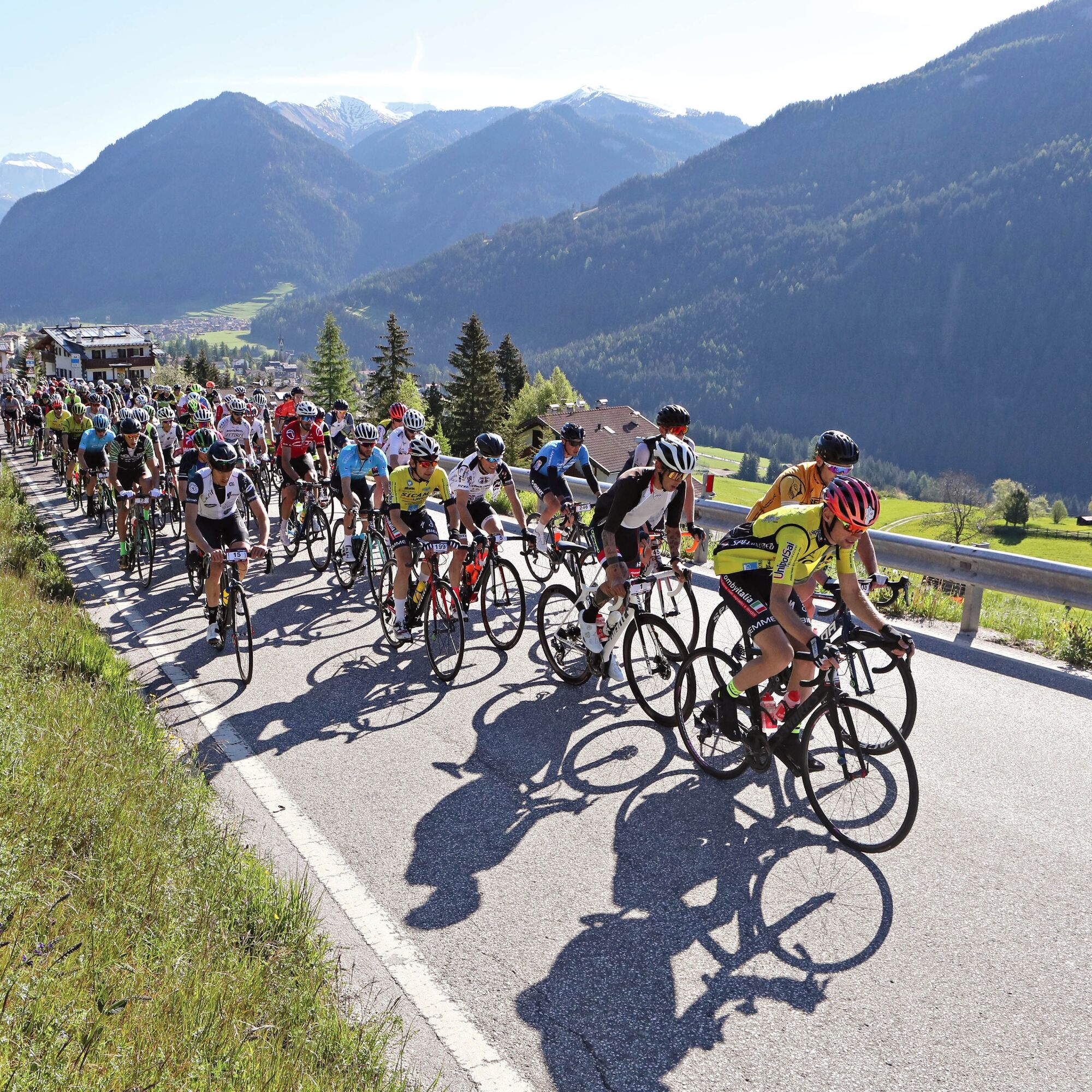
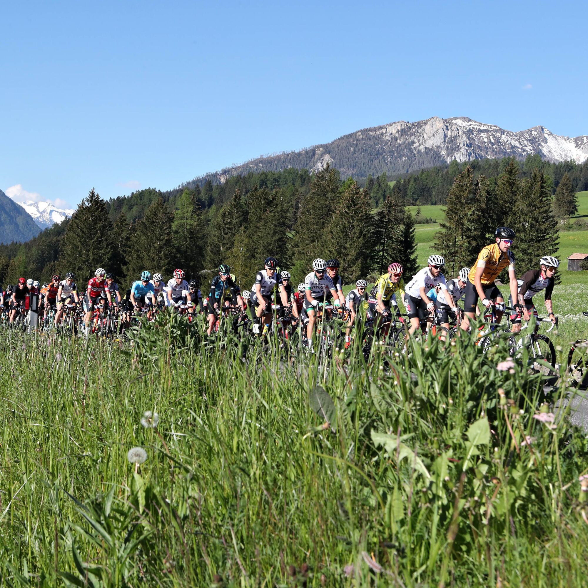

Possible detour from Moena to Pozza and from Predazzo to Moena on paved cycling-and-walking route.
Helmet, gloves, clothing adequate for the itinerary and the weather forecast. Charged gps with tracks. Puncture repair and multi-tool kit. In compliance with the rules of the road, bikes must absolutely be equipped with bell, headlights, taillights, and reflectors on the back, on the sides and on the pedals.
Plan a tour based on your skills and on the weather.
Proceed slowly, especially downhill, enjoy the view and the silence.
Adapt your speed, especially in turns, to the conditions of the ground.
Rely on the bike guides.
Wear adequate clothing and equipment.
Respect the environment surrounding you and bring your waste back.
Follow the rules of the road.
Be careful on the cycling and walking route.
Help those who need it.
If you come across pedestrians, warn them of your approach and slow down.
Other access points to Val di Fassa:
from A27 motorway (Venezia), exit Belluno/Ponte nelle Alpi, S.S. 203 to Agordo and S.P. 346 to San Pellegrino Pass - Moena (Val di Fassa). At the roundabout in Moena, proceed towards Canazei from A27 motorway (Venezia), exit Belluno/Ponte nelle Alpi, S.S. 203 to Agordo/Alleghe/Rocca Pietore. S.P. 641 to Fedaia Pass - Canazei coming from Arabba, S.S. 48 to Pordoi Pass - Canazei from Val Gardena, S.S. 242 to Sella Pass - CanazeiPublic transport lines SAD - Val di Fassa:
line no. 180 Pozza di Fassa - Vigo di Fassa - Carezza Pass - Bolzano line no. 471 Dolomites passes (Sella Pass, Gardena Pass, Campolongo Pass, Pordoi Pass, Fedaia Pass). Service available in summer onlyPay and display parking at the resort of Navalge or free of charge at the entrance of the village by C. Benatti Sports Centre.
6
Strèda Roma, 36
38032 Canazei (TN)
Phone +39 0462 609500
info@fassa.com
www.fassa.com
E-bike charging station at Carezza Pass (valley station of Paolina chairlift), Nova Levante (valley station of the gondola) and San Pellegrino Pass (valley station of Col Margherita cable car). Please check the opening dates of the lifts.
Refreshment points along the route.
Kamery internetowe z trasy
-
Bergstation Absam Maierl
-
Ciampedie - Rosengarten
-
Ciampedie - Rosengarten
-
Ciampedie - Rosengarten
-
Ciampedie - Rosengarten
-
Le Cune
-
Le Cune
-
Le Cune
-
Le Cune
-
Le Cune
-
Le Cune
-
Snowpark Obereggen
-
Falcade
-
Welschnofen - Nigglhof
-
Ski Center Latemar
-
Le Cune
-
Catinaccio - Rosengarten Pra Martin
-
Ciampedie - Rosengarten
-
Ciampedie - Rosengarten
-
Ciampedie - Rosengarten
-
Ciampedie - Rosengarten
-
Catinaccio - Rosengarten Pra Martin
-
Catinaccio - Rosengarten Pra Martin
-
Le Cune
-
Pozza di Fassa - Buffaure
-
Passo di Lavaze
-
Gummer
-
Paolina Talstation
-
Welschnofen Bergstation
-
Welschnofen Bergstation
-
Talstation Pra di Tori
-
Eggental – Carezza - Frin
-
Laner
-
Hotel Pfösl - Deutschnofen
-
Passo Rolle
-
Obereggen - Oberholz Talstation
-
Pozza di Fassa
-
Oberholz Berg
-
Passo Feudo
-
Moena - San Pellegrino Pass / Chalet Isabella
Uzyskaj wgląd
Zawsze na żywo z ponad 9 500 kamer internetowych. bergfex Jako użytkownik Pro, możesz teraz zobaczyć odpowiednie kamery internetowe dla wielu wycieczek w aplikacji wycieczki od. Pozwala to na bezpośredni podgląd aktualnych warunków.
Popularne wycieczki w okolicy
-
4,8
Torre di Pisa mountain hut
średniWędrówka 9,09 km -
5,0
Latemar Umrundung - die Kurze und Bequeme
średniWędrówka 12,1 km -
4,8
Tour of Monte Cornon
średniWędrówka 7,65 km -
4,8
Latemar Tour - Tour 930
średniMountainbike 37,4 km -
4,9
Cima d’Asta (vetta via normale)
średniWędrówka 17,5 km -
4,8
Latemar Panorama
średniWędrówka 11,7 km -
4,2
The three lakes
średniWędrówka 11,1 km -
4,7
Weißhorn
średniWędrówka 6,64 km -
2,8
Wanderung zur Latemarhütte
średniWędrówka 7 km -
4,8
Latemar.Panorama
światłoTrasa tematyczna 7,83 km
Wędrówki i tropienie


Nie przegap ofert i inspiracji na następne wakacje
Twój adres e-mail została dodana do listy mailingowej.





