







Alpine dairy tour at Passo Lavazè
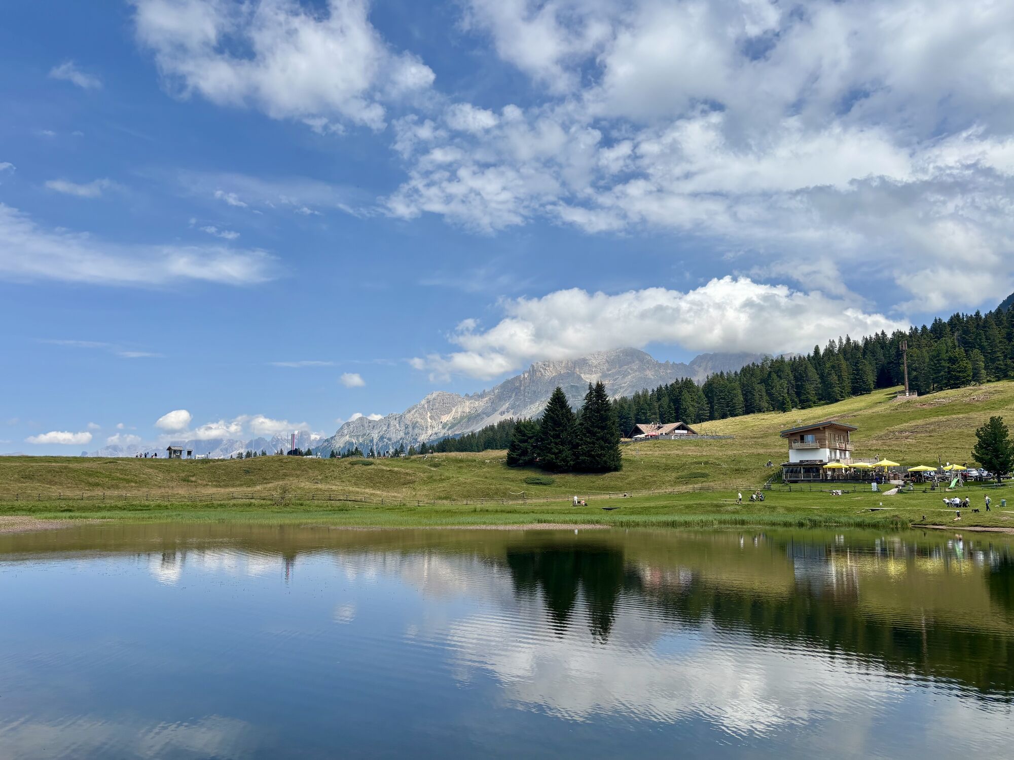
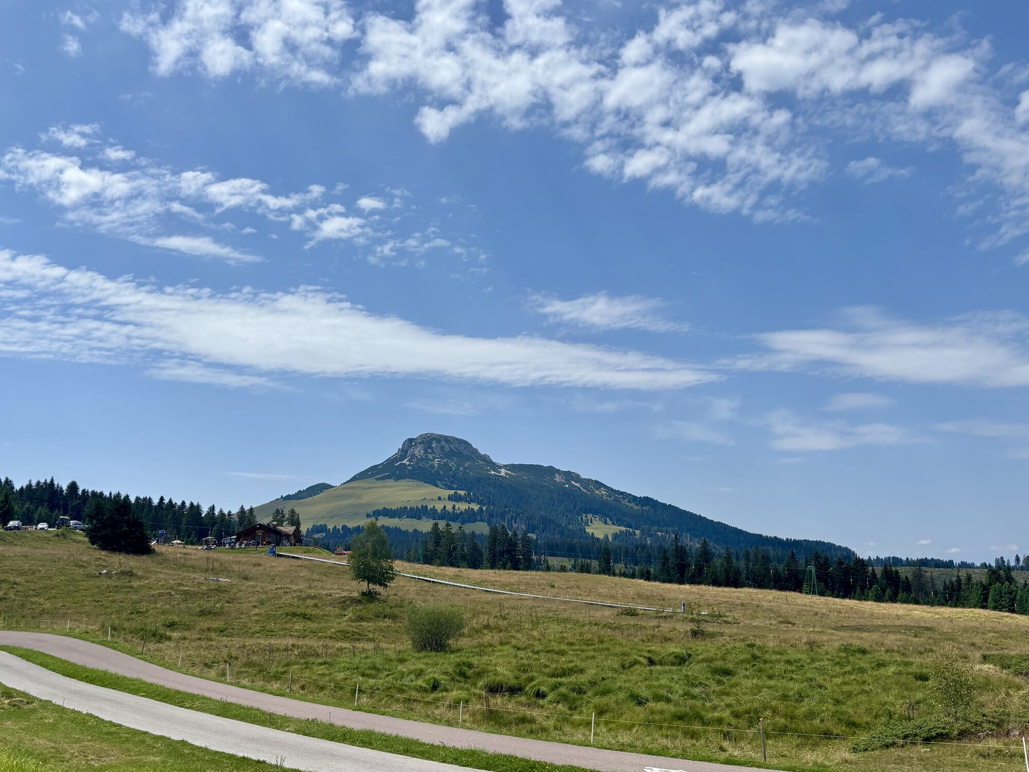
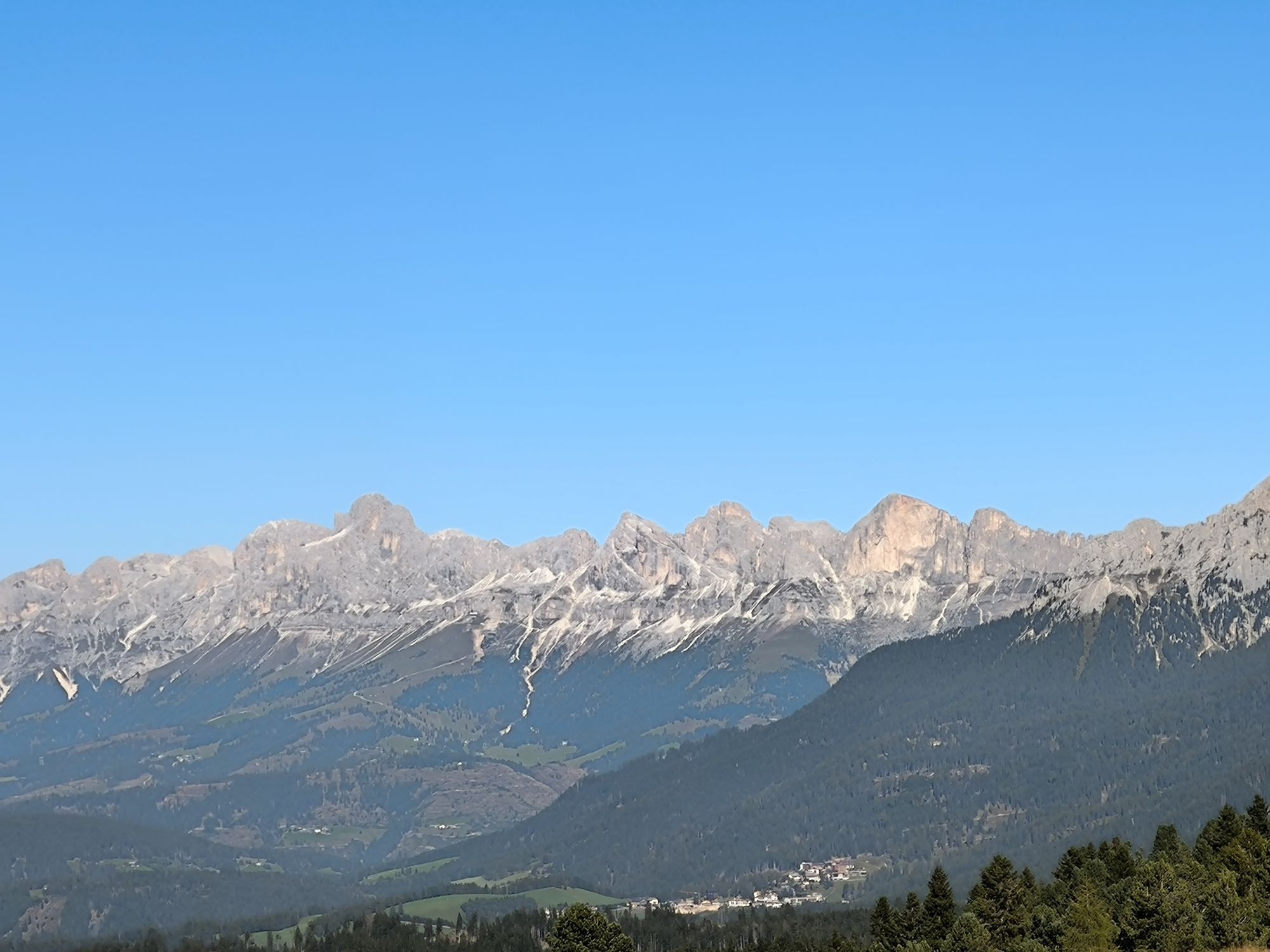
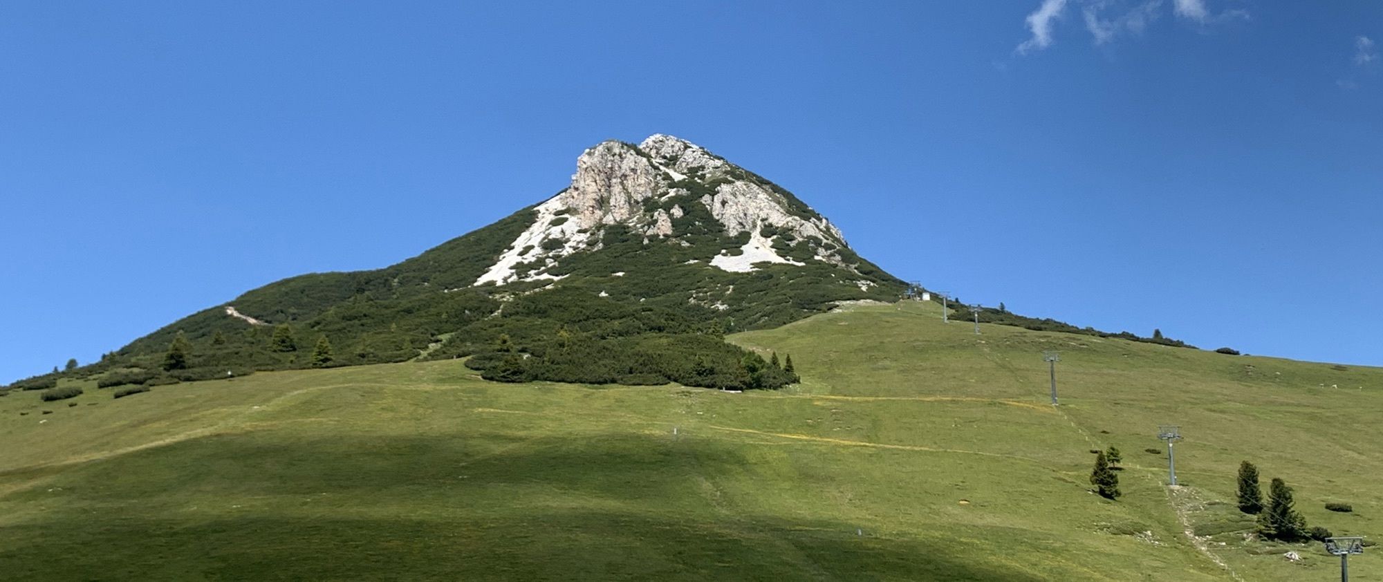
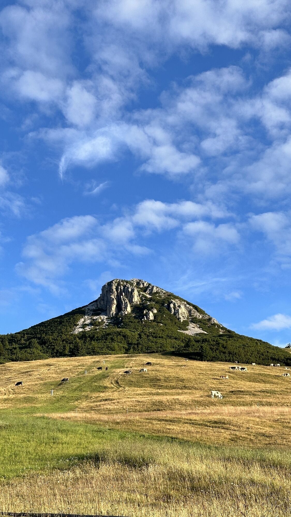
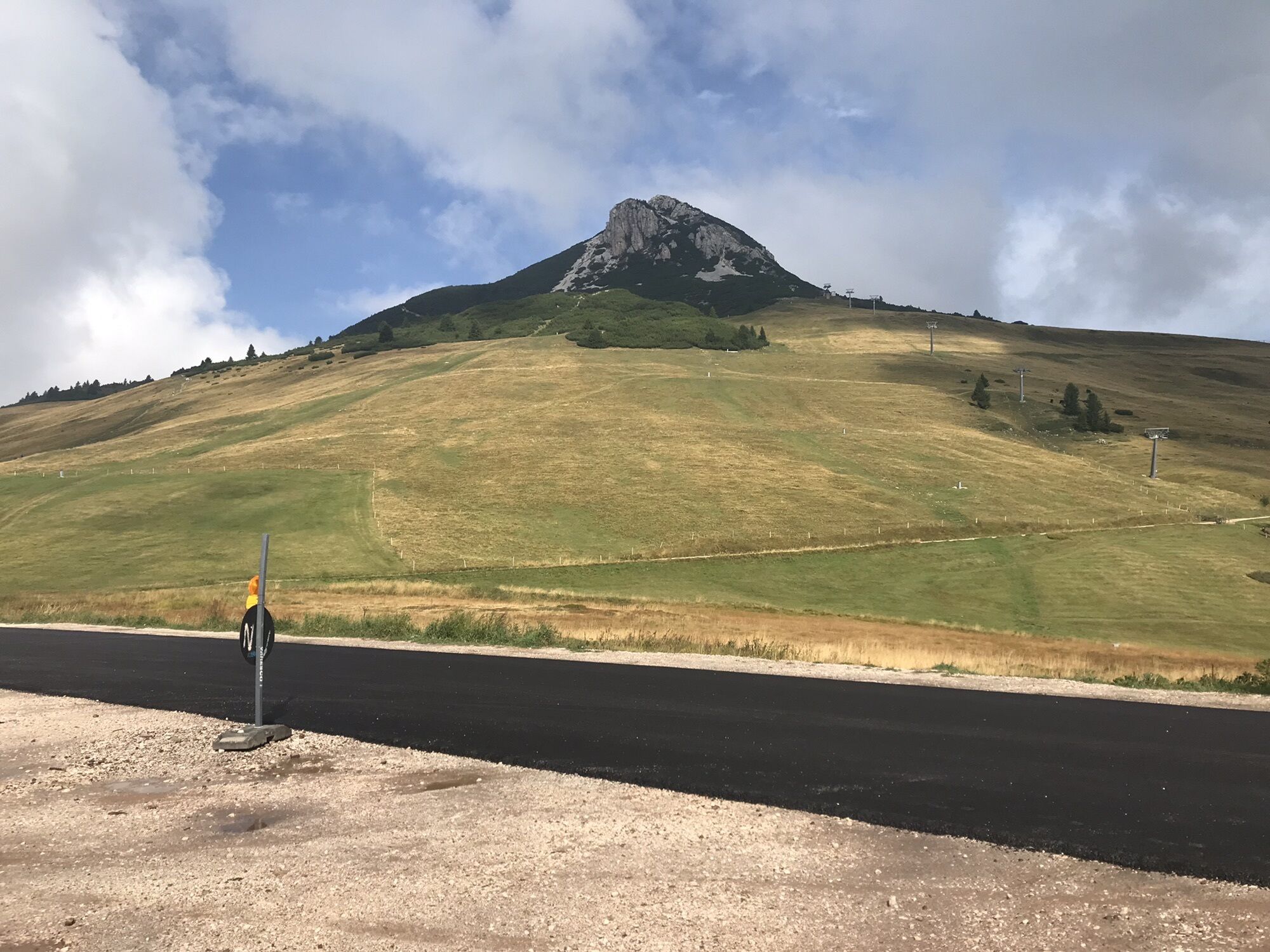

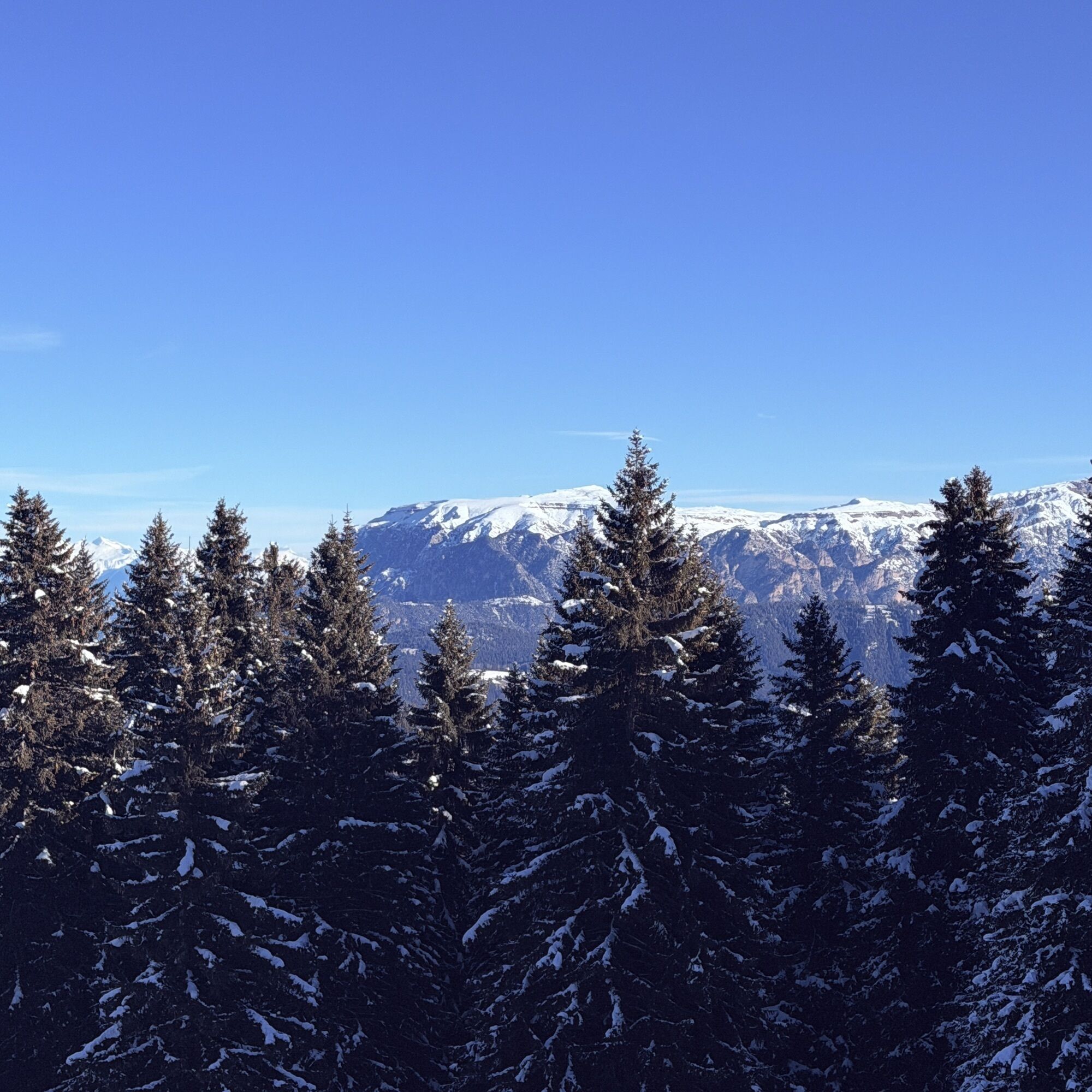
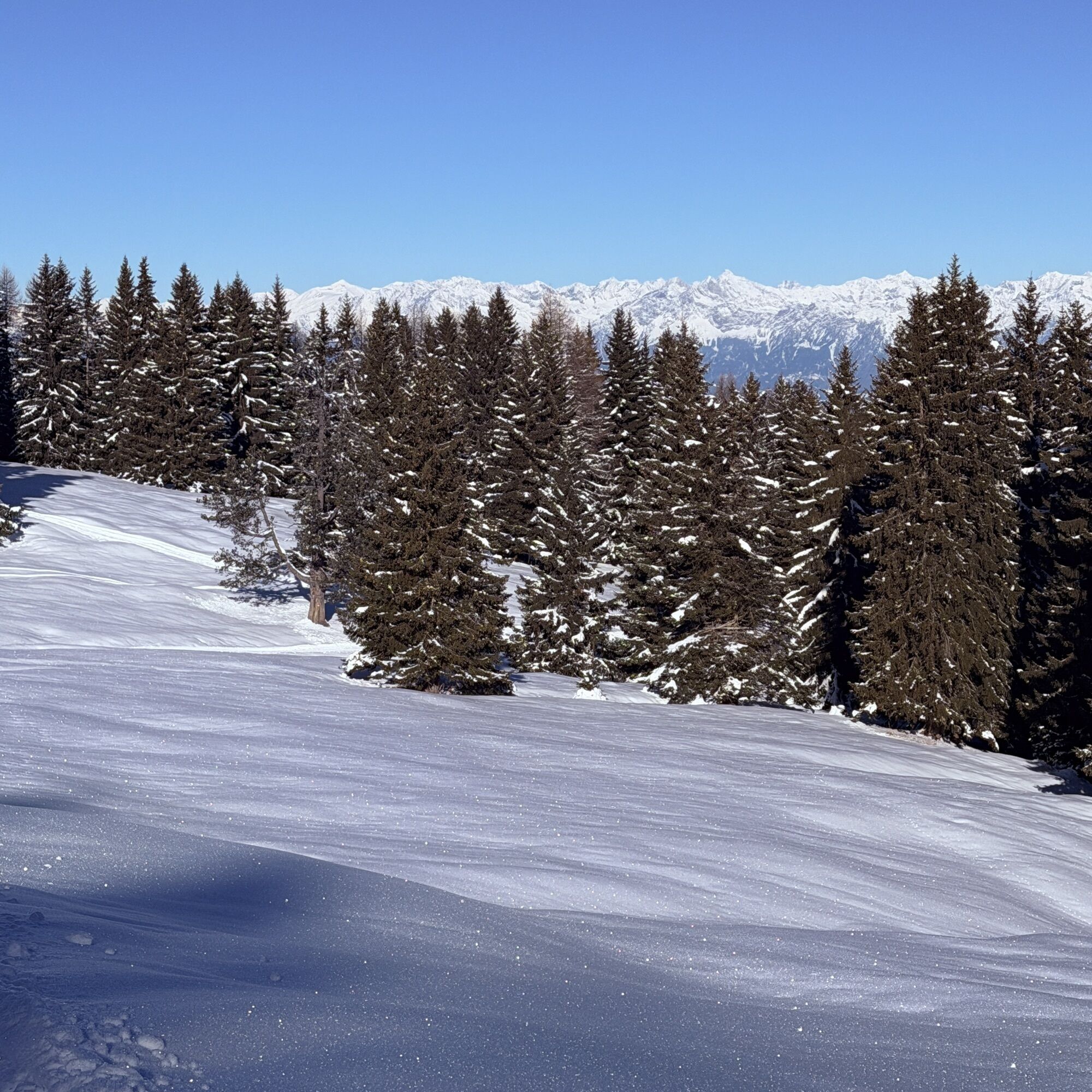
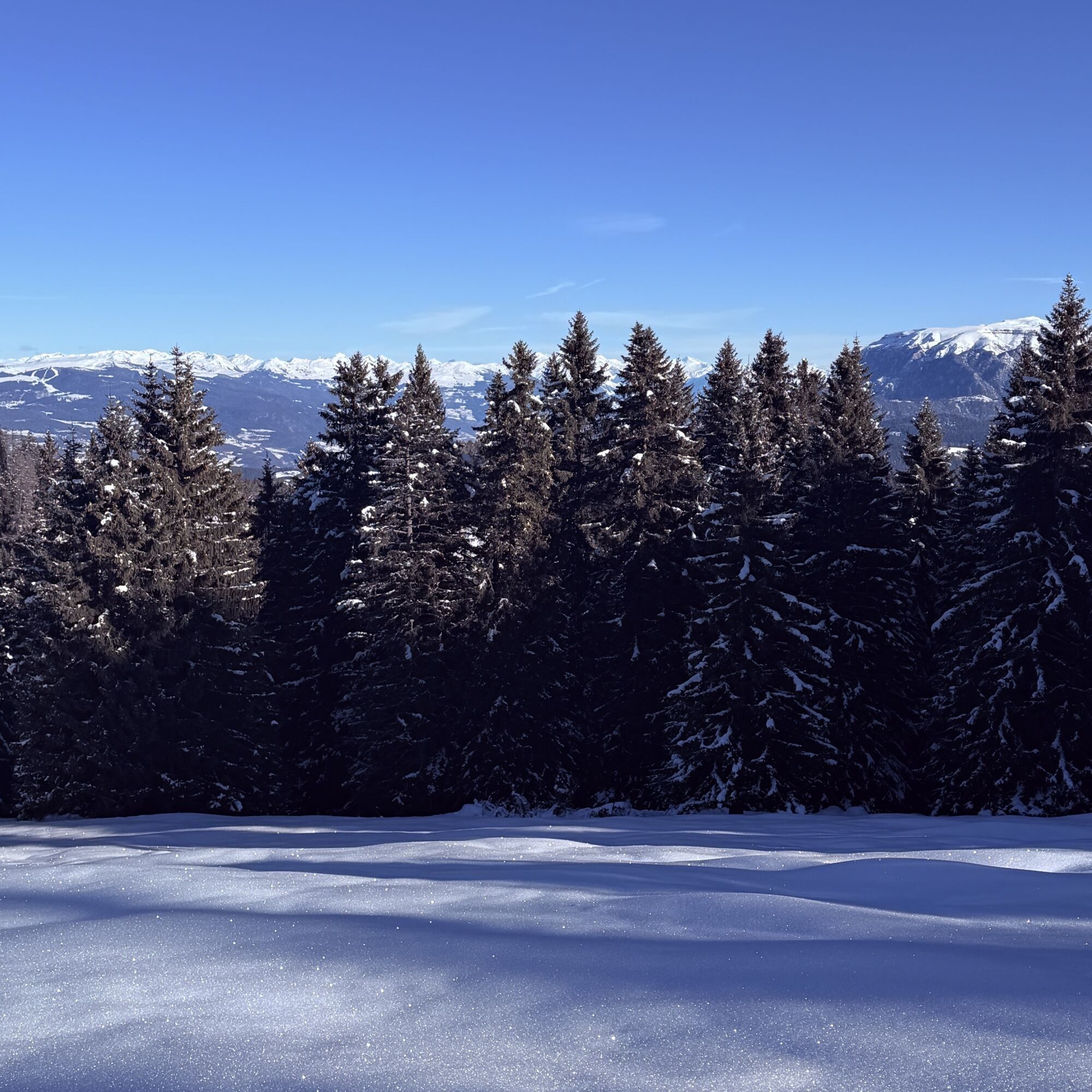
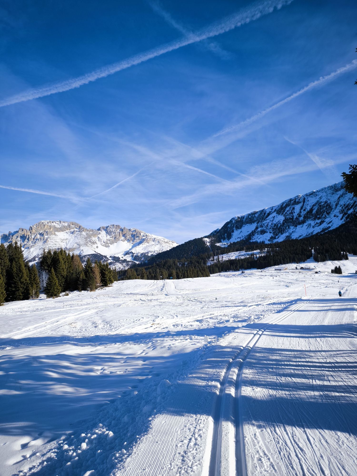
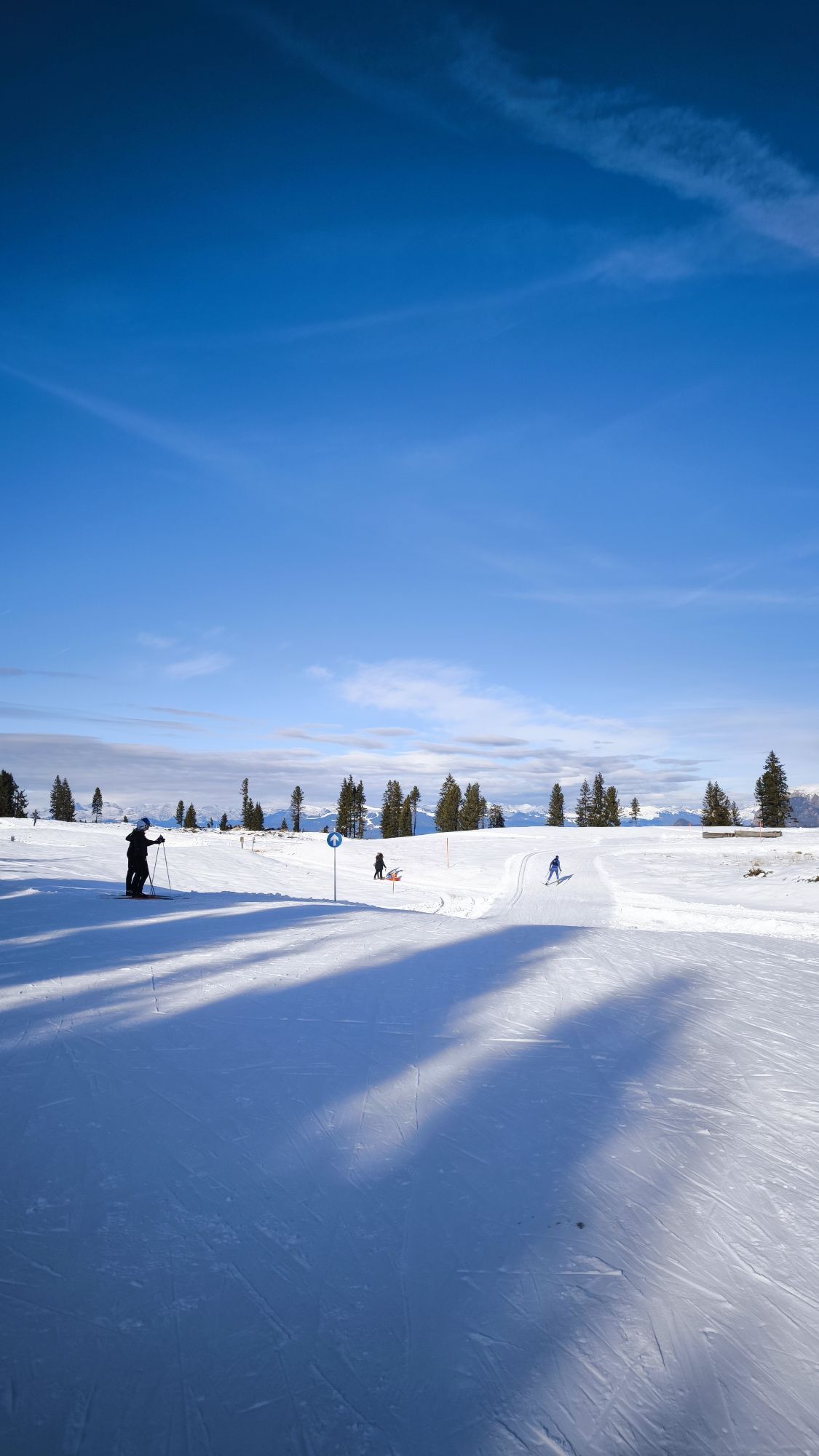

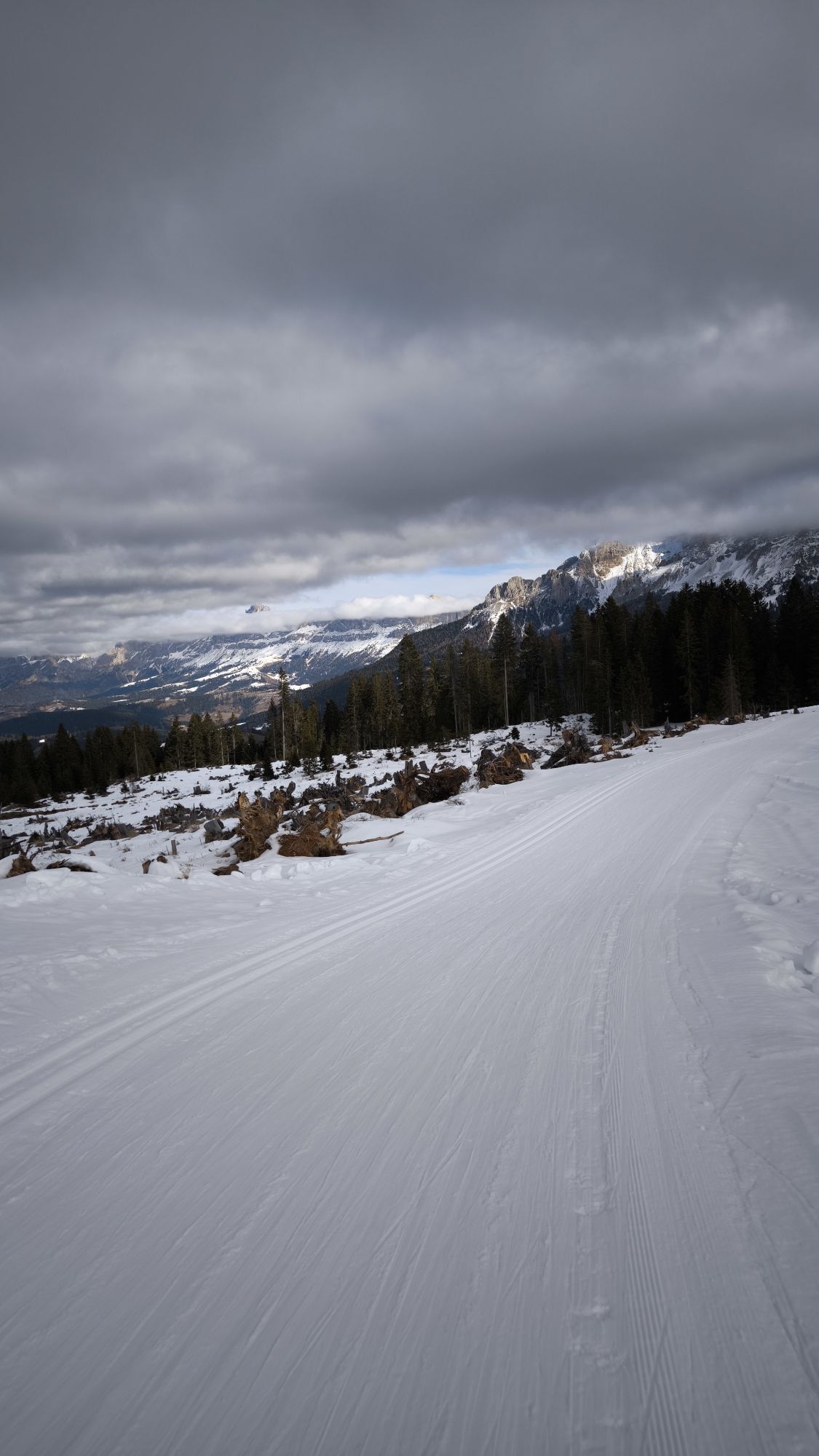
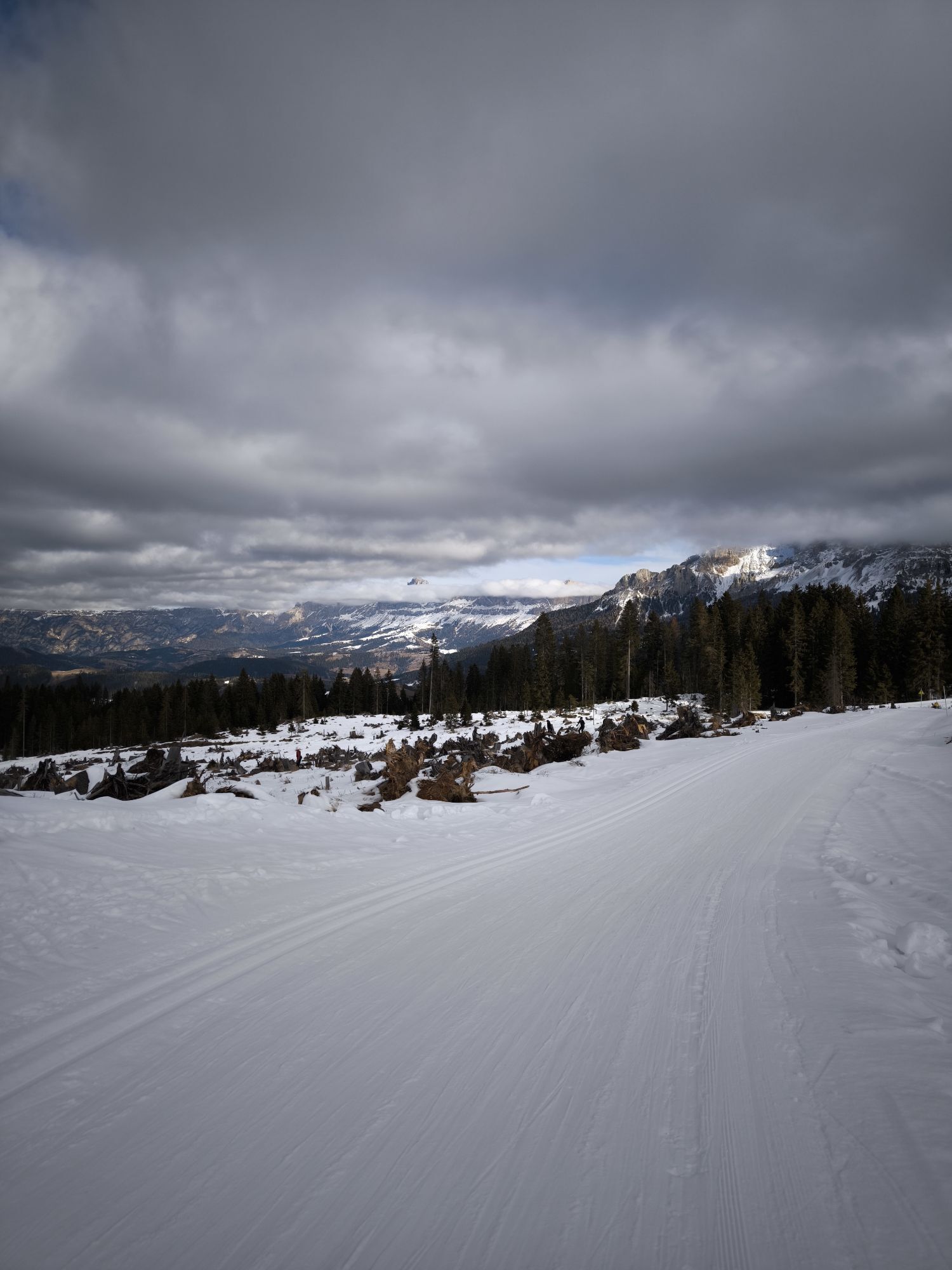
The suggestive tour takes place among the pastures and woods of the Lavazè plateau and the Oclini Pass. You ride at the foot of the Corno Nero Peak, composed of porphyritic rock, and of the Corno Bianco...
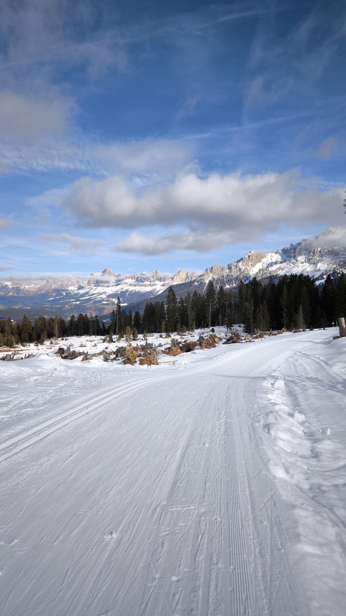
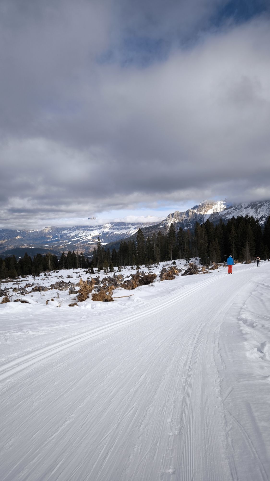
The suggestive tour takes place among the pastures and woods of the Lavazè plateau and the Oclini Pass. You ride at the foot of the Corno Nero Peak, composed of porphyritic rock, and of the Corno Bianco Peak, of white dolomite rock. The two peaks frame Oclini Pass and welcome the cyclist with their color contrasts.
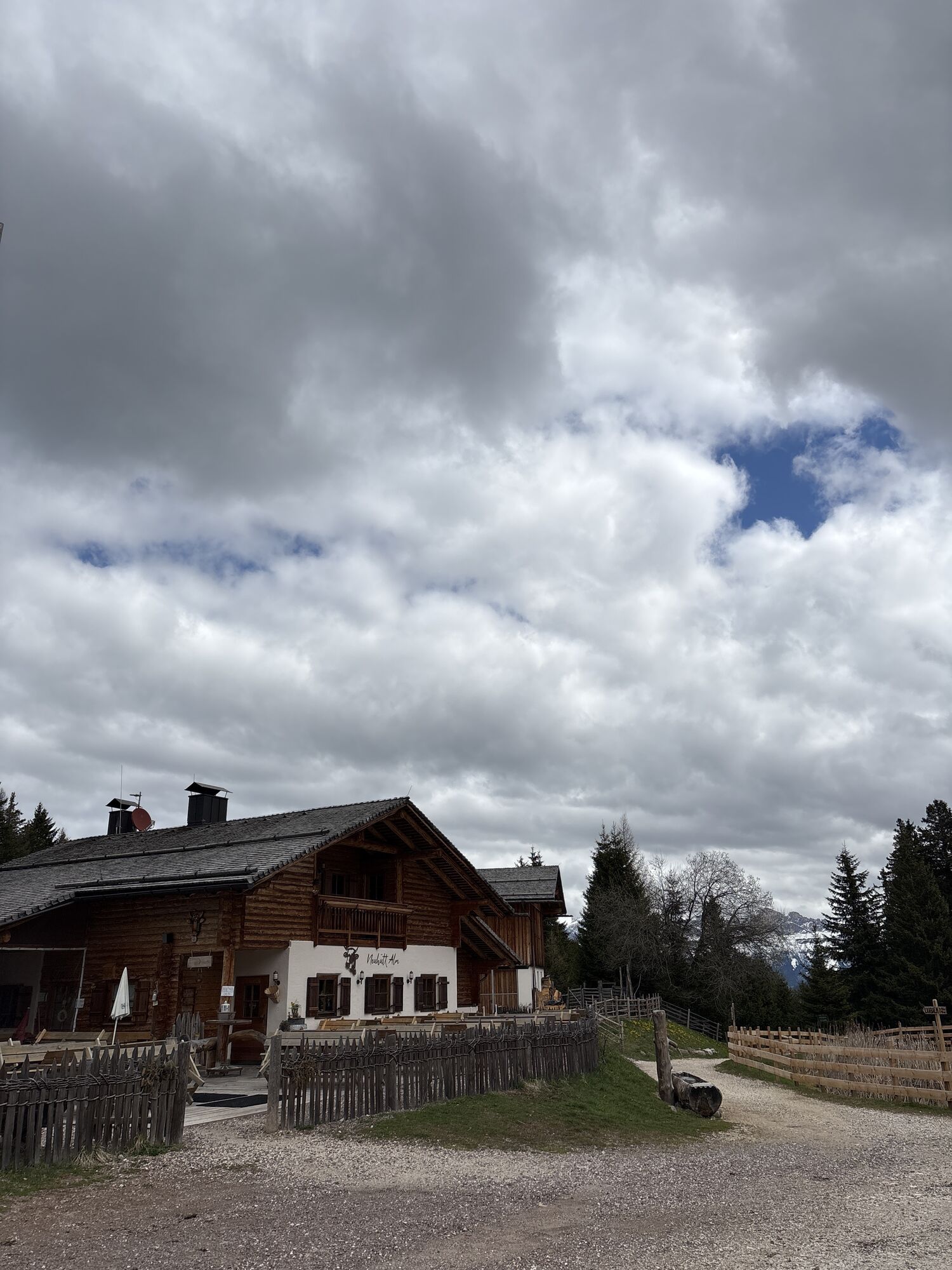
From here you reach the first gastronomic point, Malga Capanna Nuova, continuing to Malga Ora and finally to Malga Costa. Impossible not to be attracted by the scents of typical Trentino and South Tyrolean dishes that spread from these restaurants. The route is mostly on dirt roads and can also be done in the mid/late afternoon.

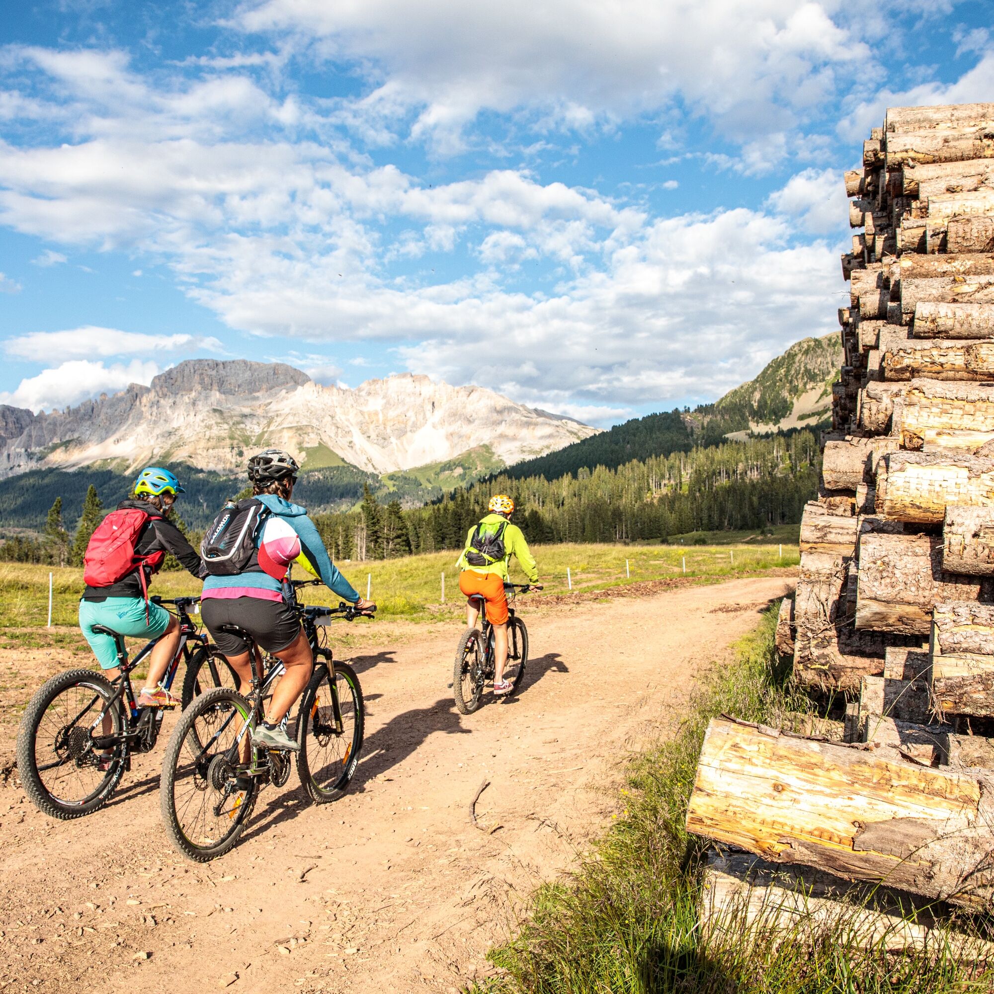
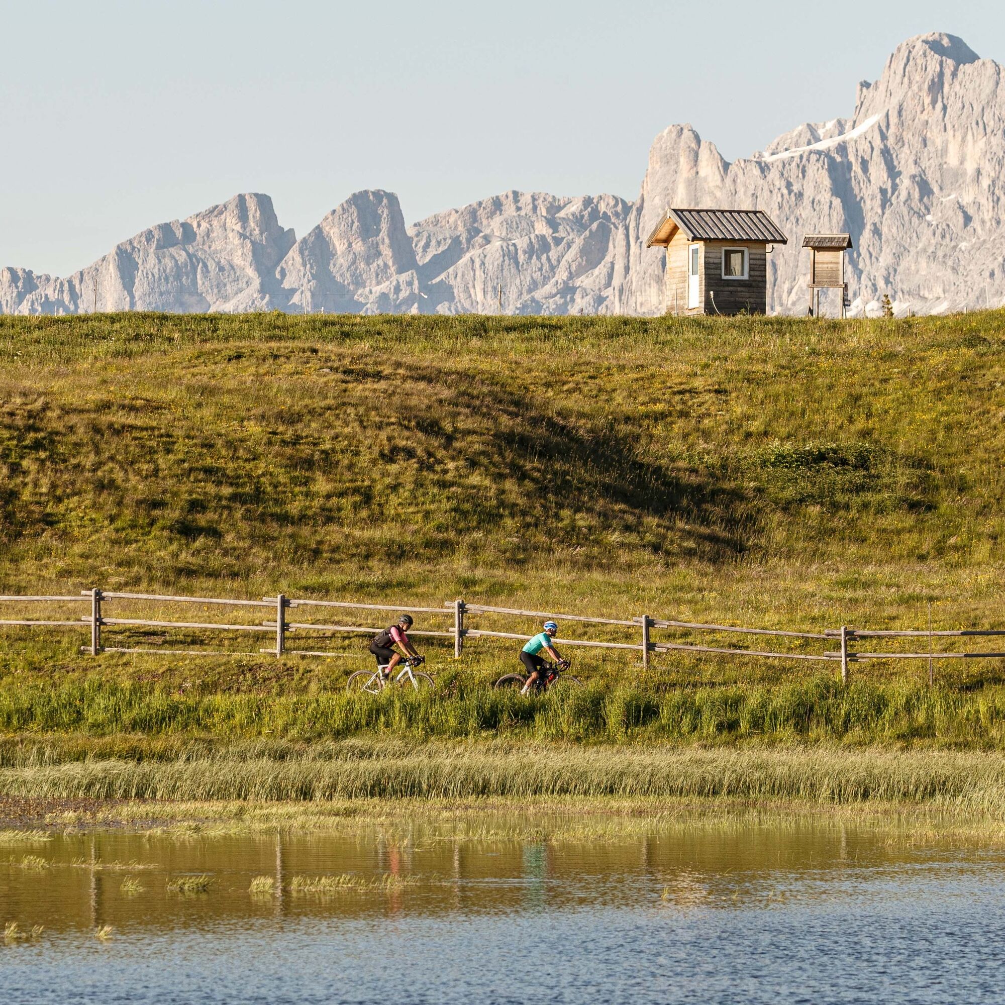
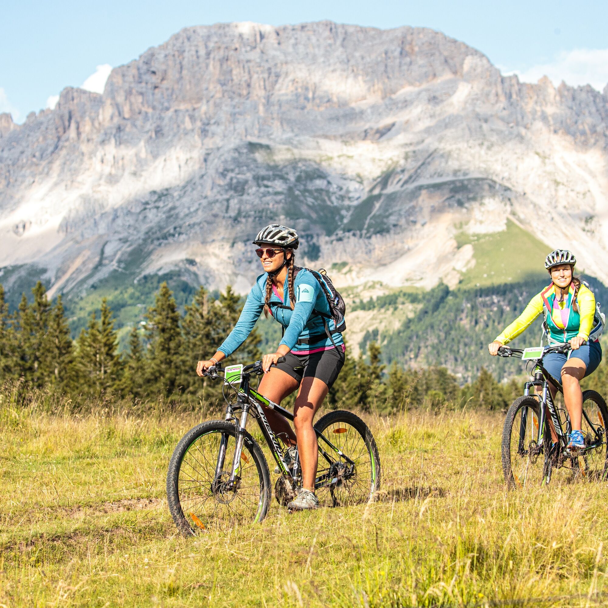
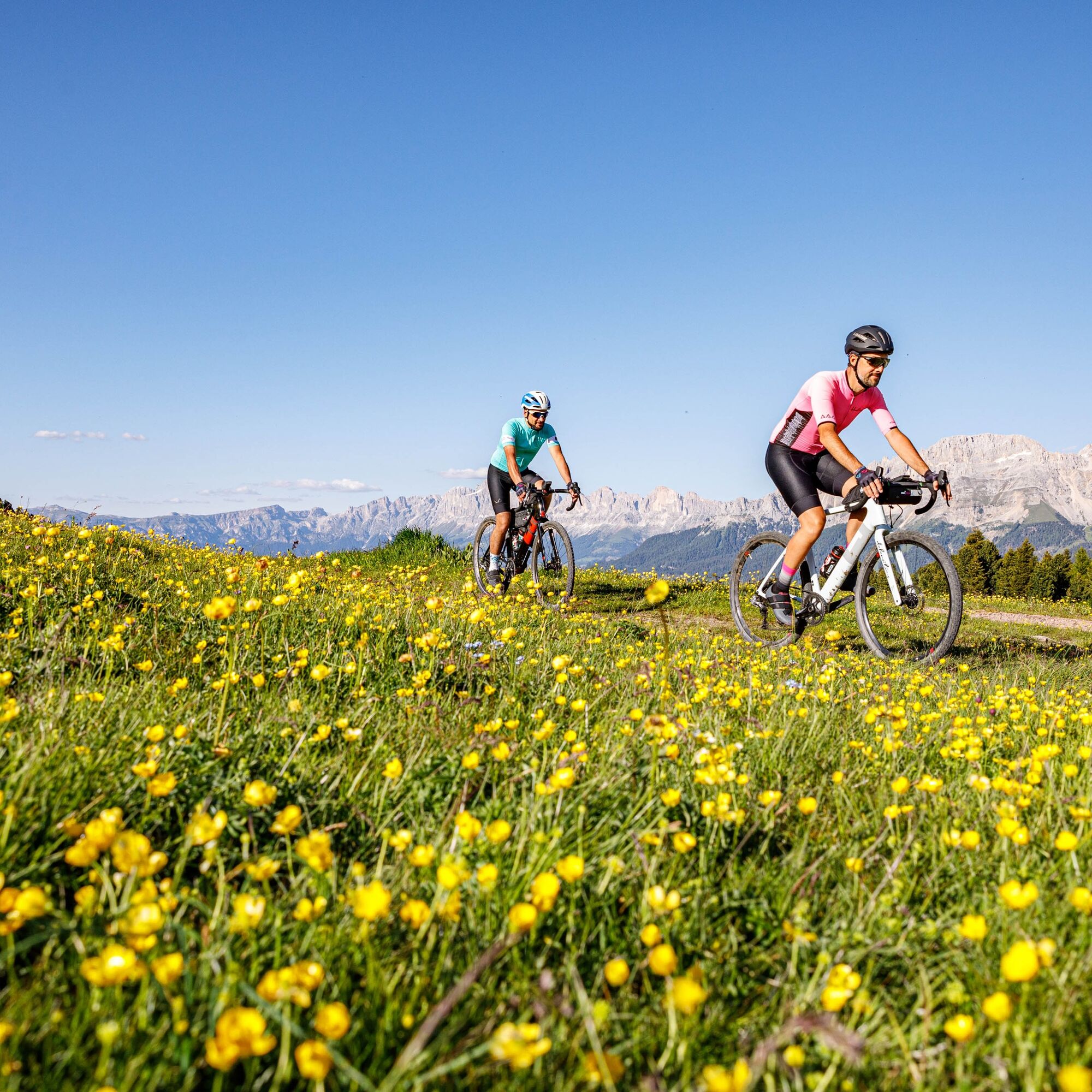
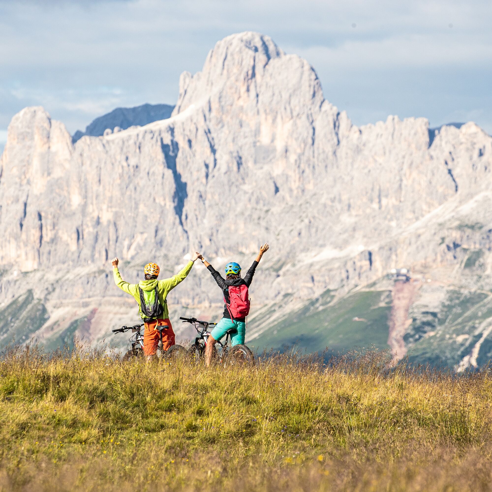
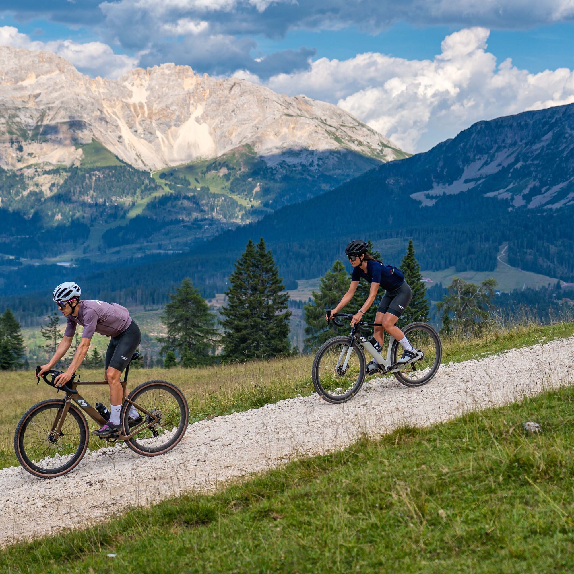
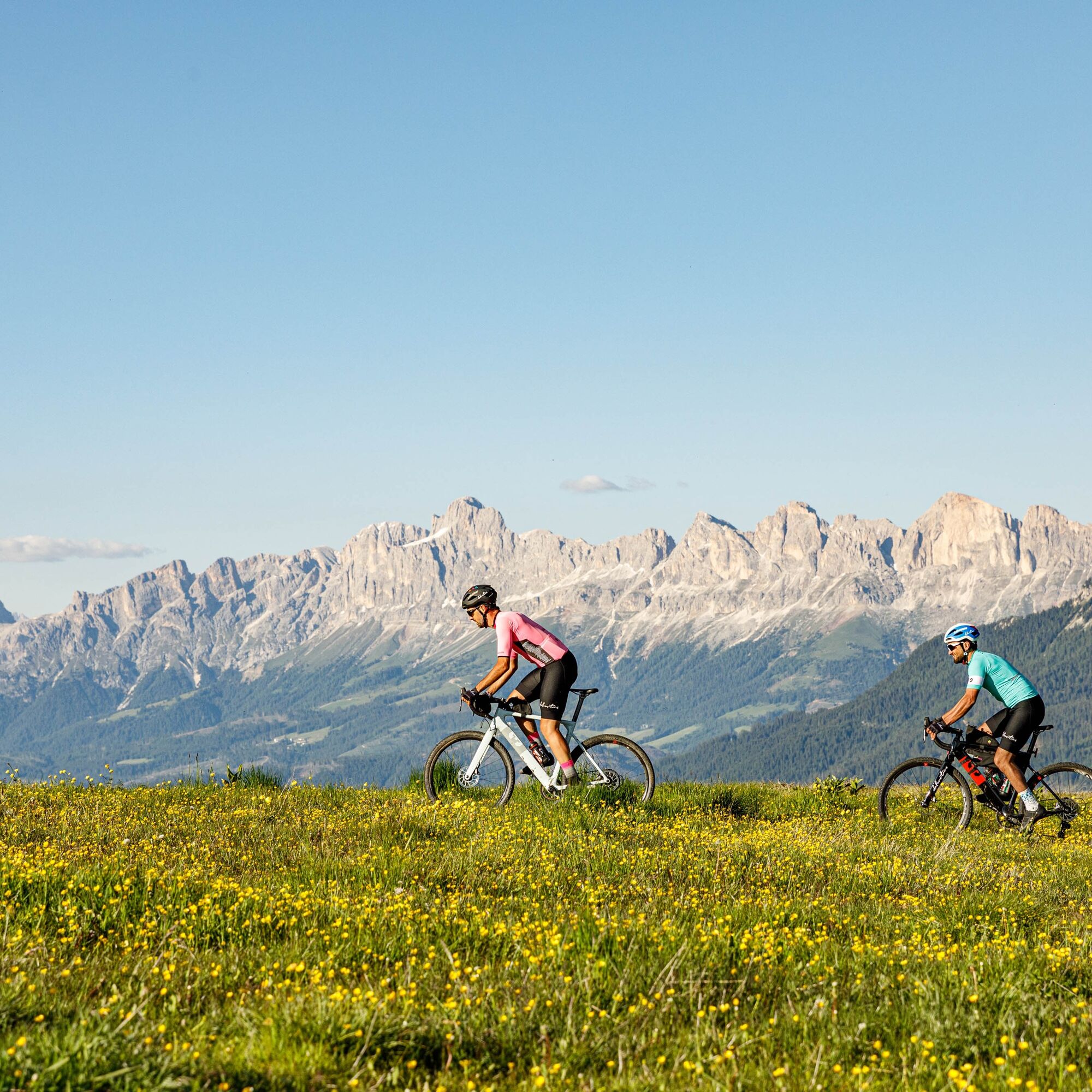
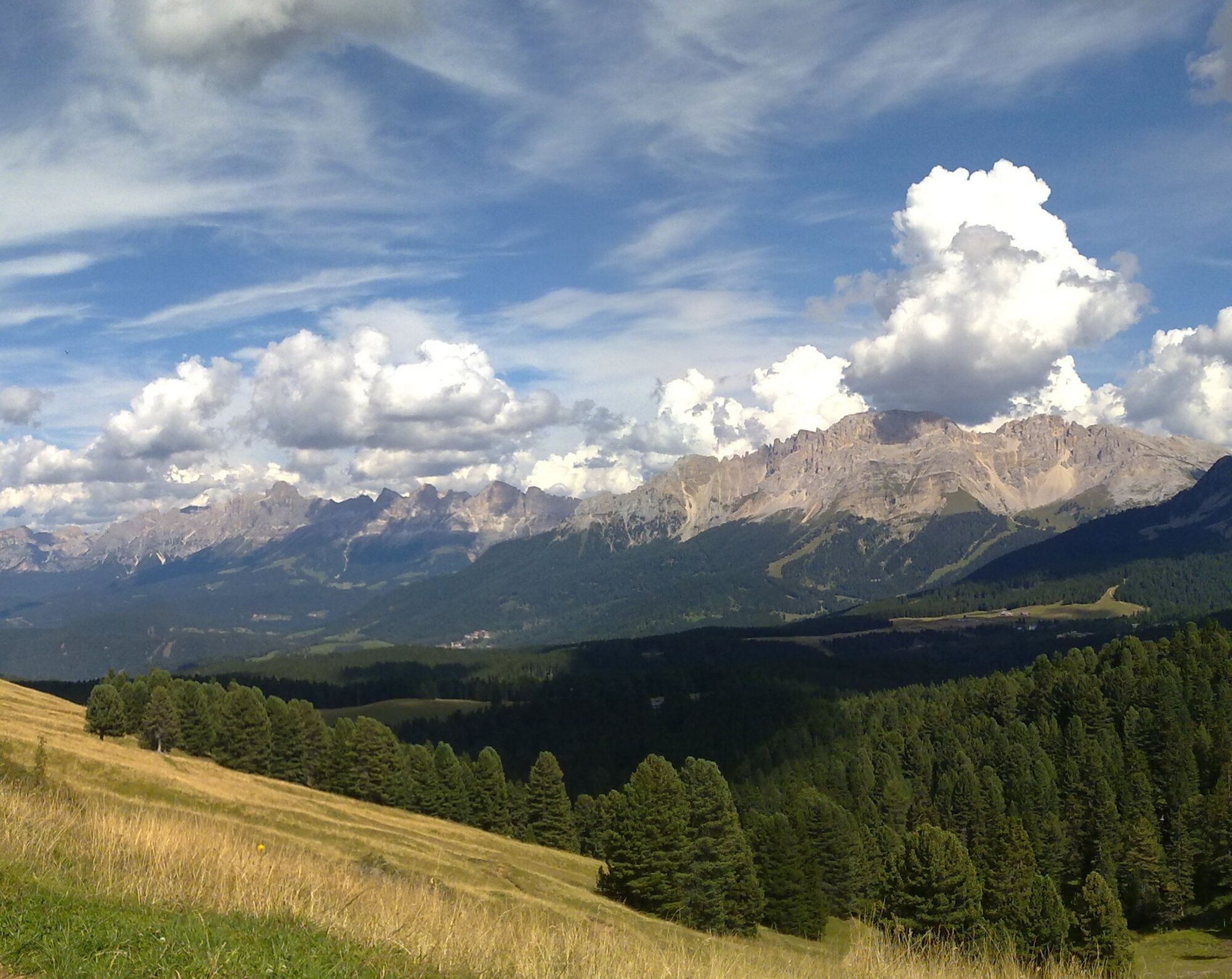


The first part of the itinerary, on paved road, allows you to reach the highest place of the tour, the panoramic Passo Oclini. Take the time to admire the beautiful landscape around you. From here the dirt road, passing under the slopes of the Corno Bianco peak, leads to the Capanna Nuova hut. Head then in a steady slight climb towards the Malga Ora. From here you descend again towards the Lavazè Pass, however turning left to reach the last mountain hut. The Malga Costa alpine dairy rises in a beautiful meadow. You return then back to the starting point.
Tak
What do I need to bring on my bike tour?
An adequate water supply according to your needs (considering temperature, possibility of refuelling and duration of the route) Plenty of snacks (for example, dried fruit or energy bars) Waterproof / Windproof jacket. A spare top / spare socks. (Descending in a sweaty garment, will make you cold) Suncream Sunglasses Bike gloves/mitts Map or GPS device Bike repair kit for punctures and mechanical breakdowns First aid kitIt is always advised to let someone know where you plan to go and how long you expect to be.
Emergency telephone number 112
IMPORTANT
Along all routes, always pay attention to other people and vehicles coming from both directions. MTB routes are not for bikers only.
After windstorm Vaia in October 2018, forest roads are used also by heavy vehicles to transport wood.
When riding on streets, bikers have to respect the traffic code just like drivers.
BIKER’S CODE OF RESPONSIBILITY
Plan your ride Share the trail with other users Yield right of way to hikers Let your speed be determined by your experience Ride slowly on crowded trails, overtake with politeness and respect Cycle only on authorized and open trails Avoid muddy trails in order not to damage them further Respect nature, plants, animals and the trail Do not frighten animals Take your rubbish home with you Respect public and private property Always be selfsufficient Do not cycle solo in remote areas Take back home only good picsALWAYS WEAR YOUR HELMET !
Please note that the practicability of the itineraries in a mountain environment is strictly linked to the contingent conditions and is therefore influenced by natural phenomena, environmental changes and weather conditions. For this reason, the information contained in this page may have changed. Before leaving for a tour, make sure the path you will approach is still accessible by contacting the owner of the mountain hut, the alpine guides or the visitor centres of the nature parks, the info offices of the local tourist board.
From Cavalese head towards Varena and then towards the Lavazè Pass. From Predazzo head towards Tesero and then go up towards Stava and Passo Lavazè.
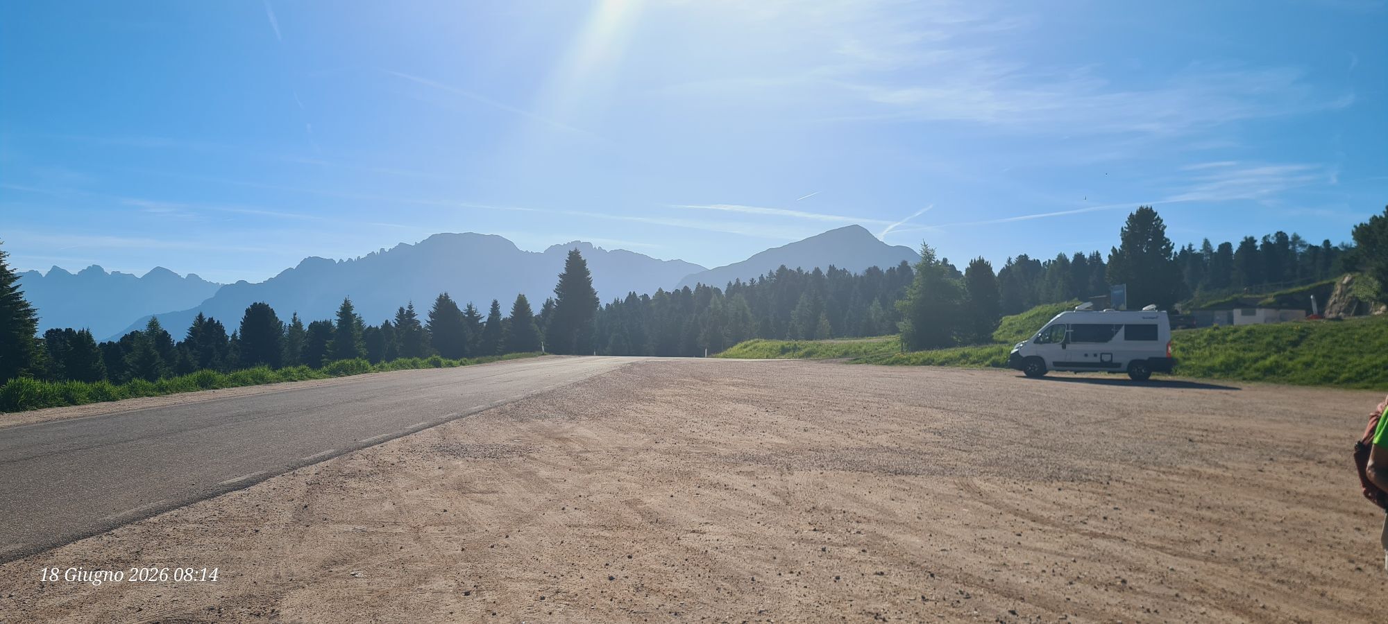
Several parking lots at Passo Lavazè.
APT Val di Fiemme - Tel. +39 0462 241111 - info@visitfiemme.it - www.visitfiemme.it
Also suitable for E-MTB. Possibility to rent e-bikes at the Lavazè Pass.

Kamery internetowe z trasy
Uzyskaj wgląd
Zawsze na żywo z ponad 9 500 kamer internetowych. bergfex Jako użytkownik Pro, możesz teraz zobaczyć odpowiednie kamery internetowe dla wielu wycieczek w aplikacji wycieczki od. Pozwala to na bezpośredni podgląd aktualnych warunków.

Popularne wycieczki w okolicy
-
4,8
Torre di Pisa mountain hut
średniWędrówka 9,09 km -
4,5
EPPAN St. Michael Montiggler Seen v. 23.10.2018
światłoWędrówka 5 km -
4,6
Kölner Hütte - Hirzelsteig - Rotwandhütte - Baita Tre - Karerpass
średniWędrówka 9,56 km -
4,7
Passo Costalunga - Sella del Ciampaz
średniWędrówka 8,35 km -
3,0
Seerundwanderung mit Naturlehrpfad am Kalterer See
Wędrówka 7,30 km -
4,8
Malga Cislon
średniWędrówka 9,37 km -
5,0
Latemar Umrundung - die Kurze und Bequeme
średniWędrówka 12,1 km -
5,0
Giro del catinaccio a nova levante
Wędrówka 11,7 km -
4,9
Rifugio Paolina - Laurin's Lounge - Kölner Hütte - Rifugio Fronza alle Coronelle - Paolina
średniWędrówka 8,19 km -
4,8
Tour of Monte Cornon
średniWędrówka 7,65 km
Wędrówki i tropienie


Nie przegap ofert i inspiracji na następne wakacje
Twój adres e-mail została dodana do listy mailingowej.





